Arches
Park 1 | March 2017
Part + Park 1 (of 2) on our first trip through Utah and an upper sliver of Arizona.
This was the trip that started it all.
We’d never camped together, never road tripped together — looking back, between the two of us, we didn’t even own a tent. We borrowed most of the items we used on this trip. Somehow, we squeezed an ambitious road trip across Utah and Arizona into the several days that overlapped between J’s spring break (teaching at a Denver middle school) and my spring break (second year of grad school) overlapped. The rest is history.
Arches National Park felt like the perfect park for us to start with: Large enough to fill a whole day, small enough to feel manageable. It still has one of the best entrances to a park that we’ve seen yet. Arches Scenic Drive starts at the visitor center, which is located just off Highway 191 as it snakes its way south toward Moab. The narrow entrance road zigzags dramatically up a massive red rock face looming over the highway. We’ve since driven this highway a few times for different trips, and it always pains us to not turn off and head into the park since it’s so close.
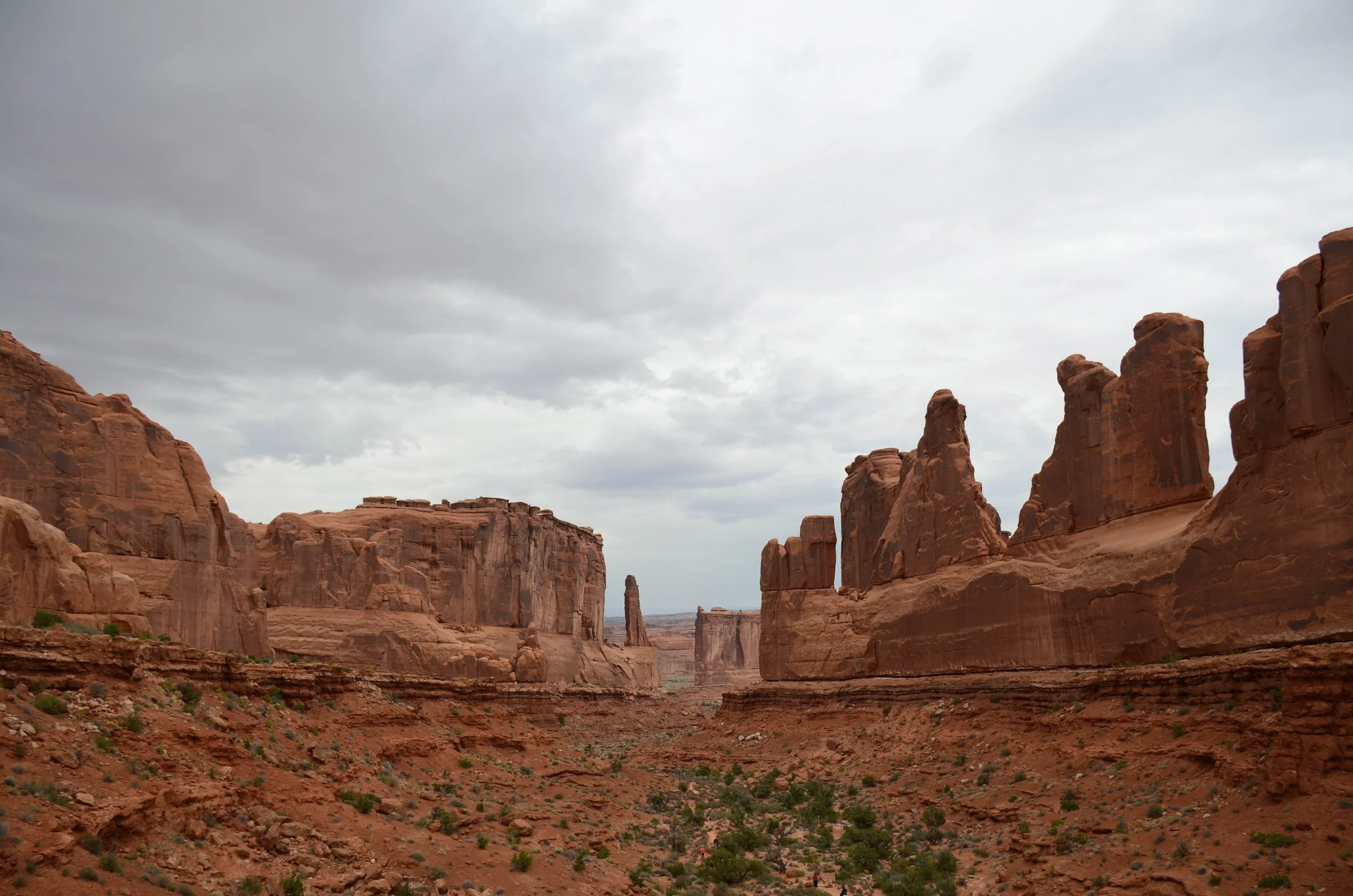
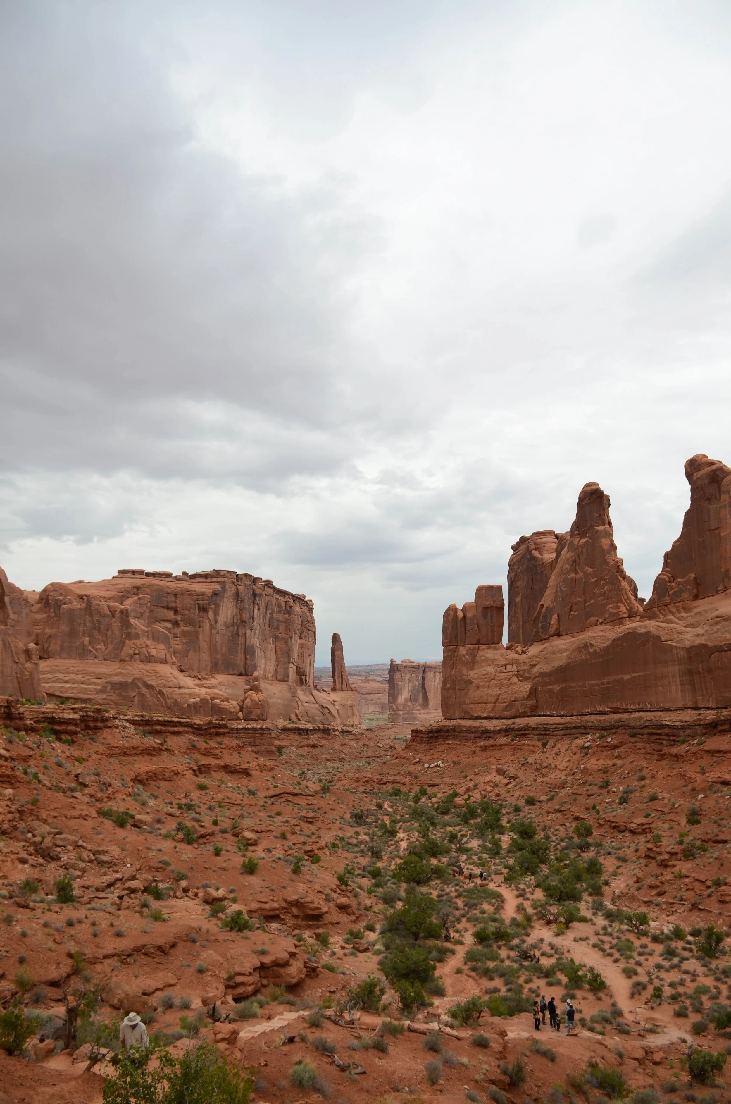
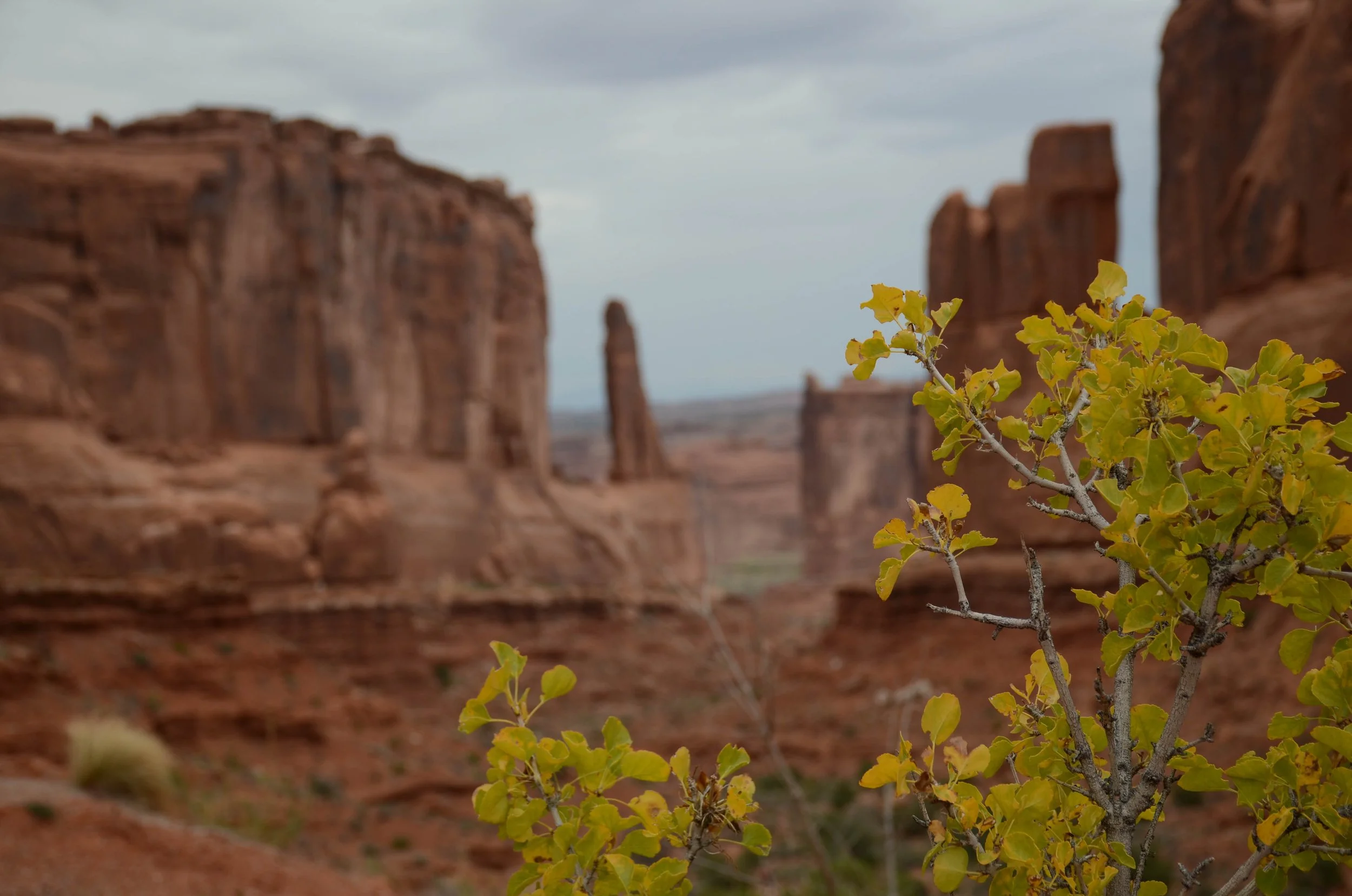
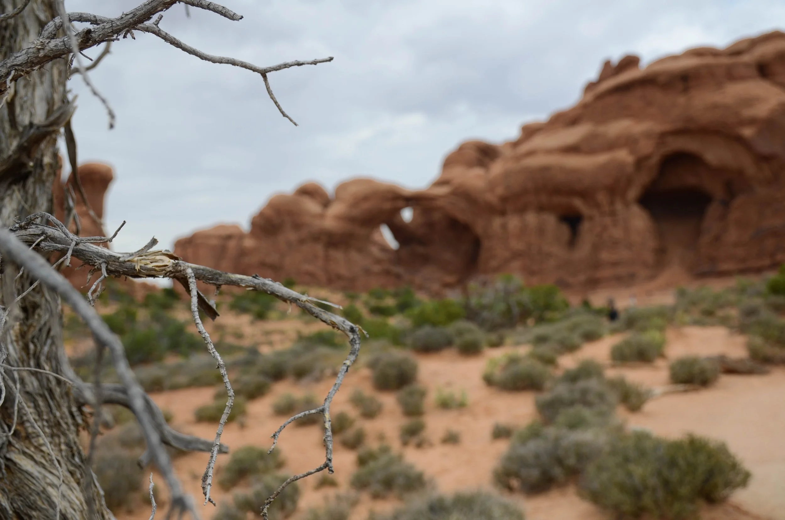
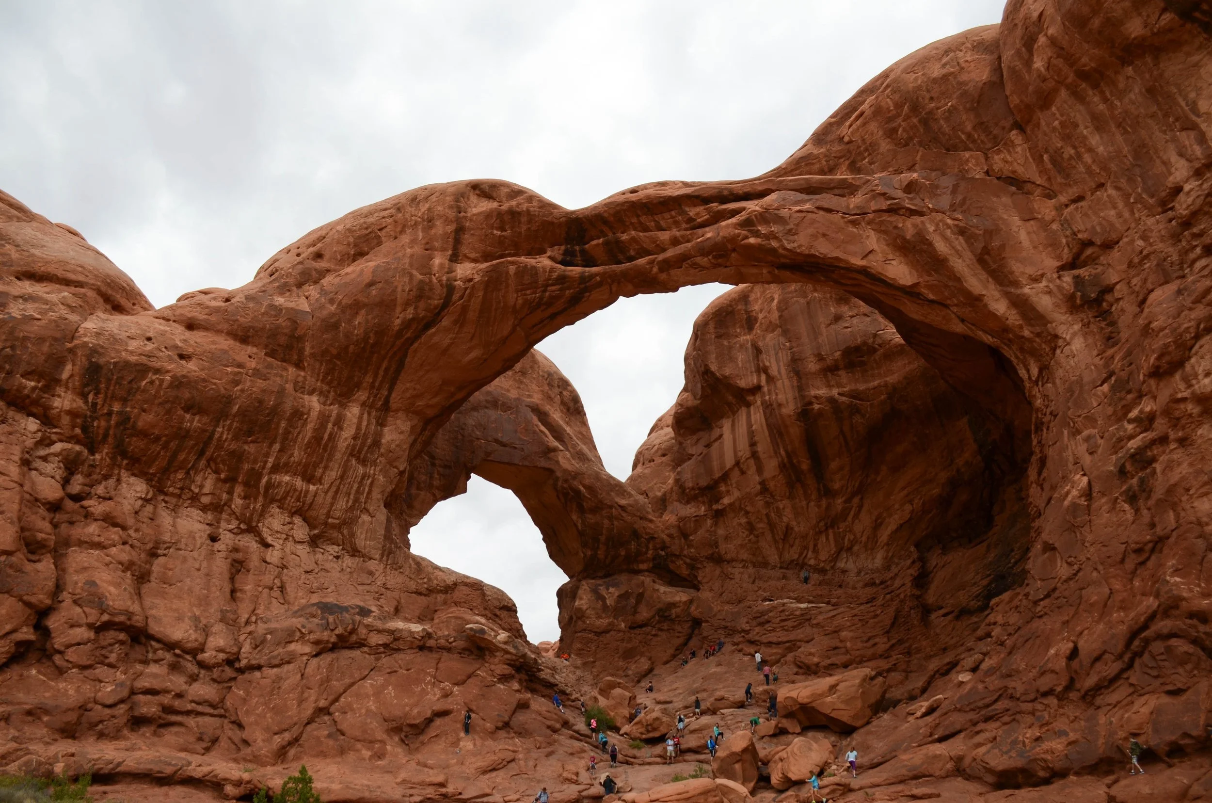
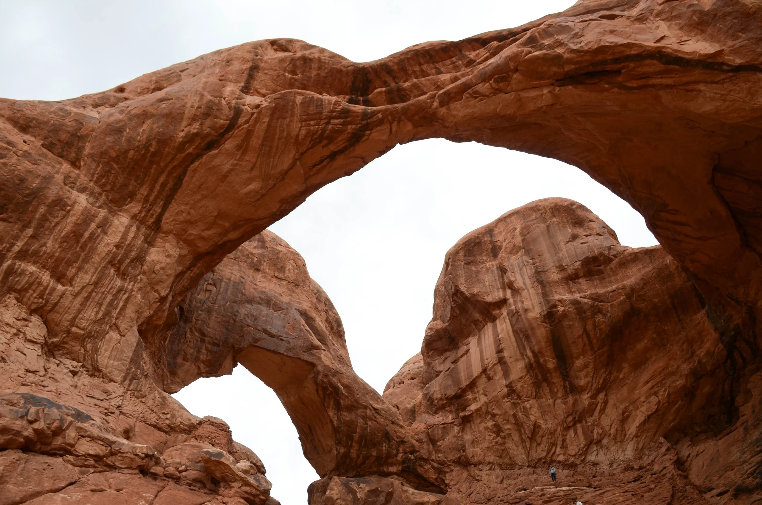
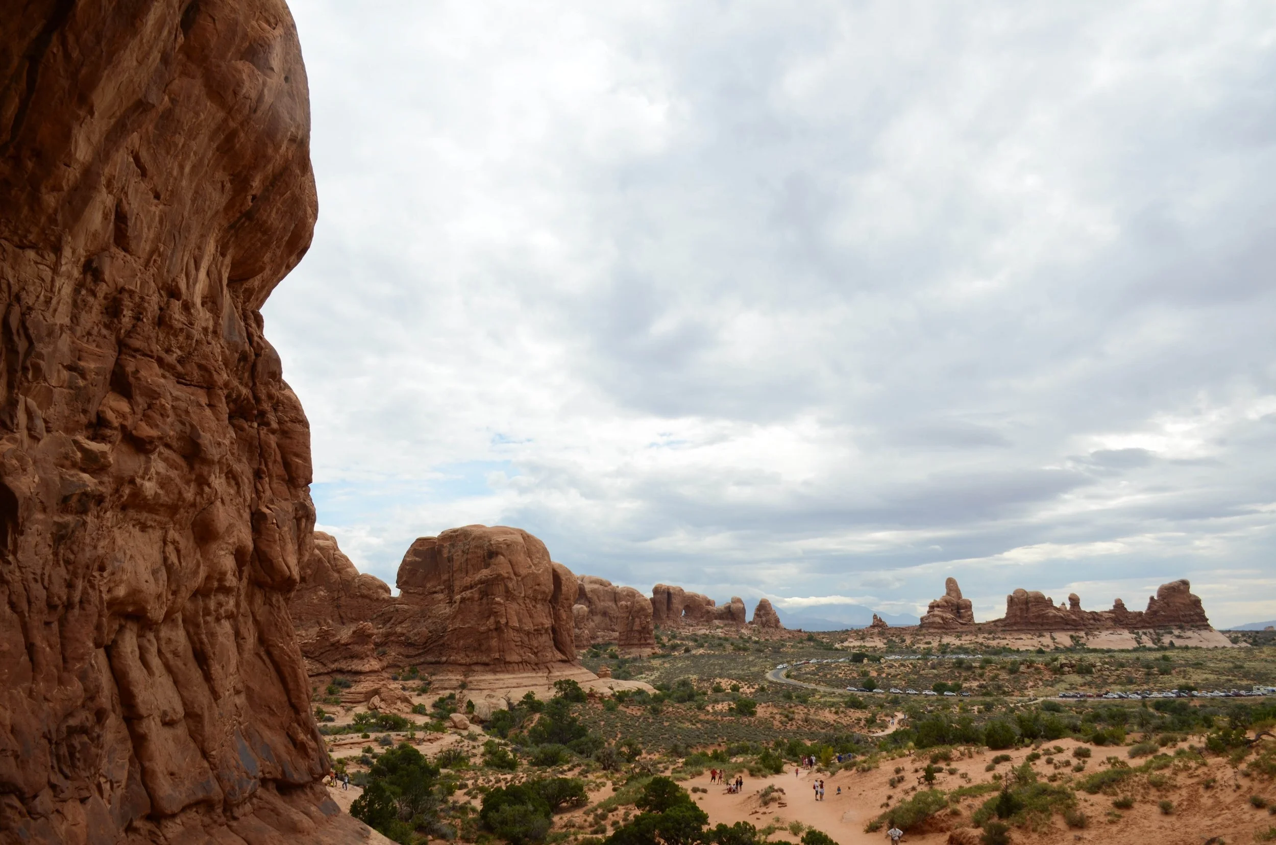
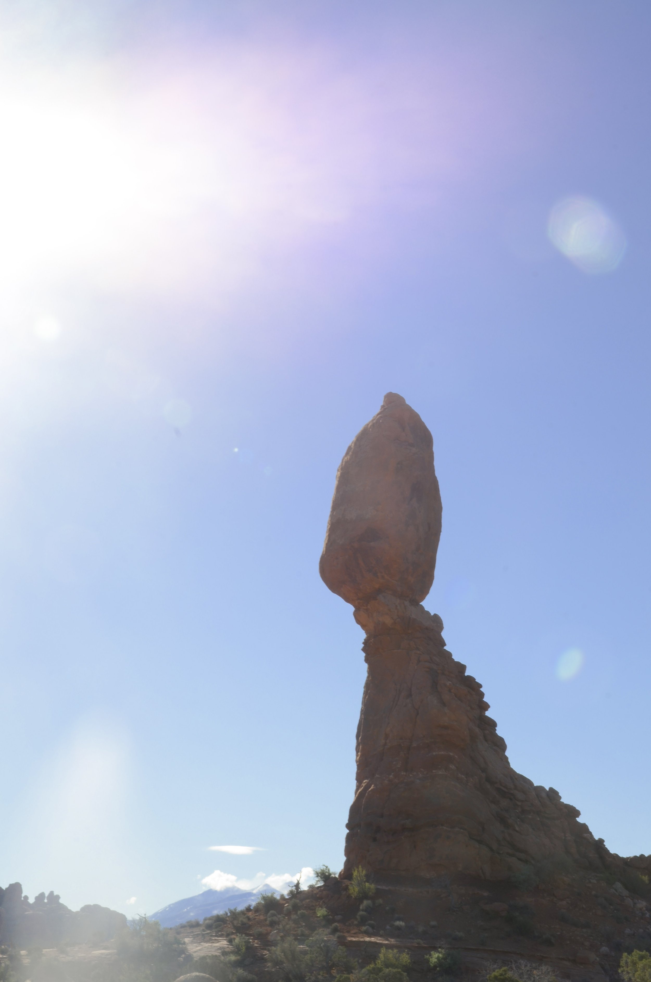
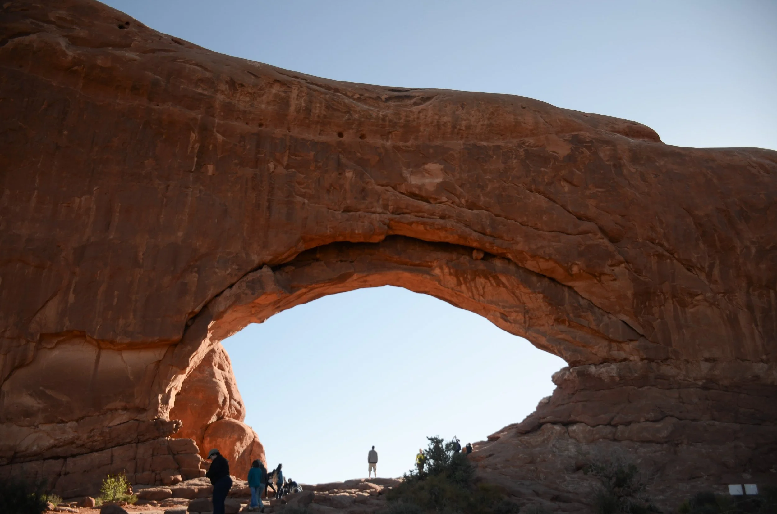
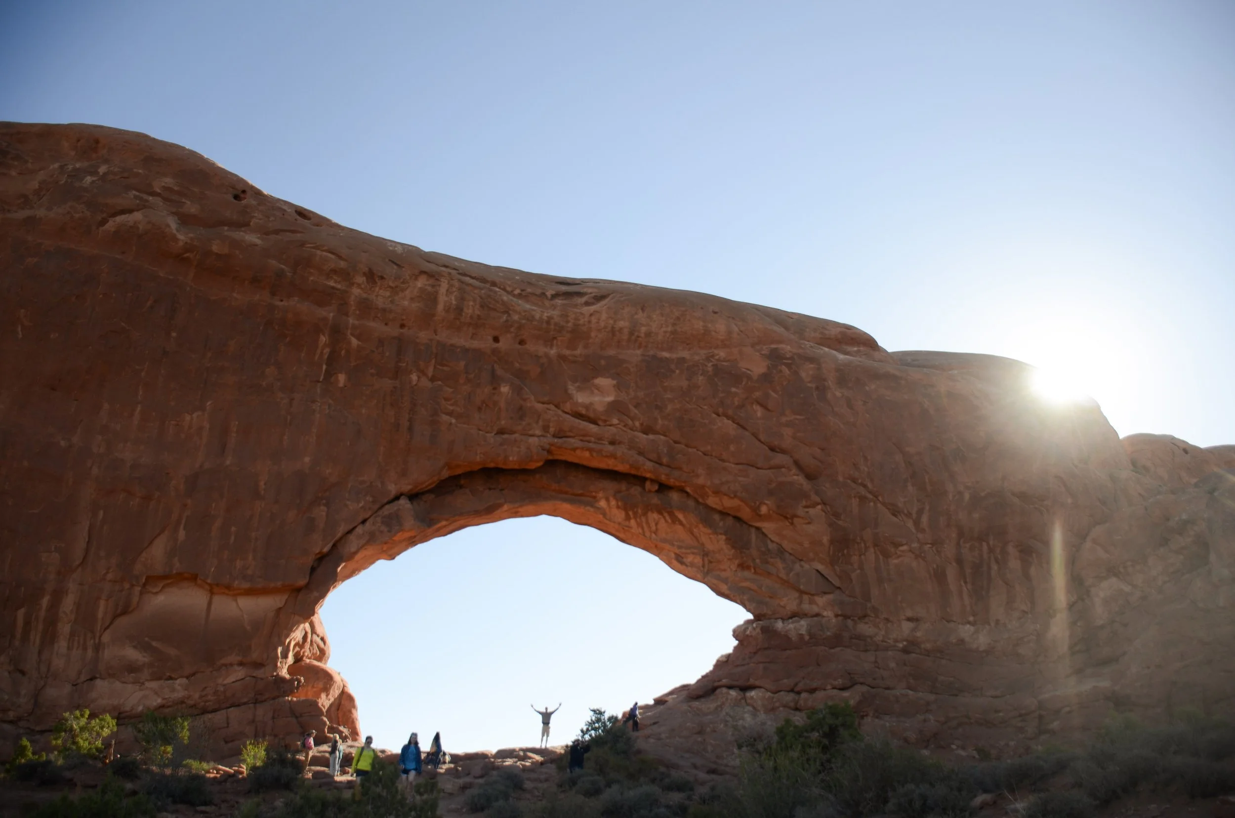
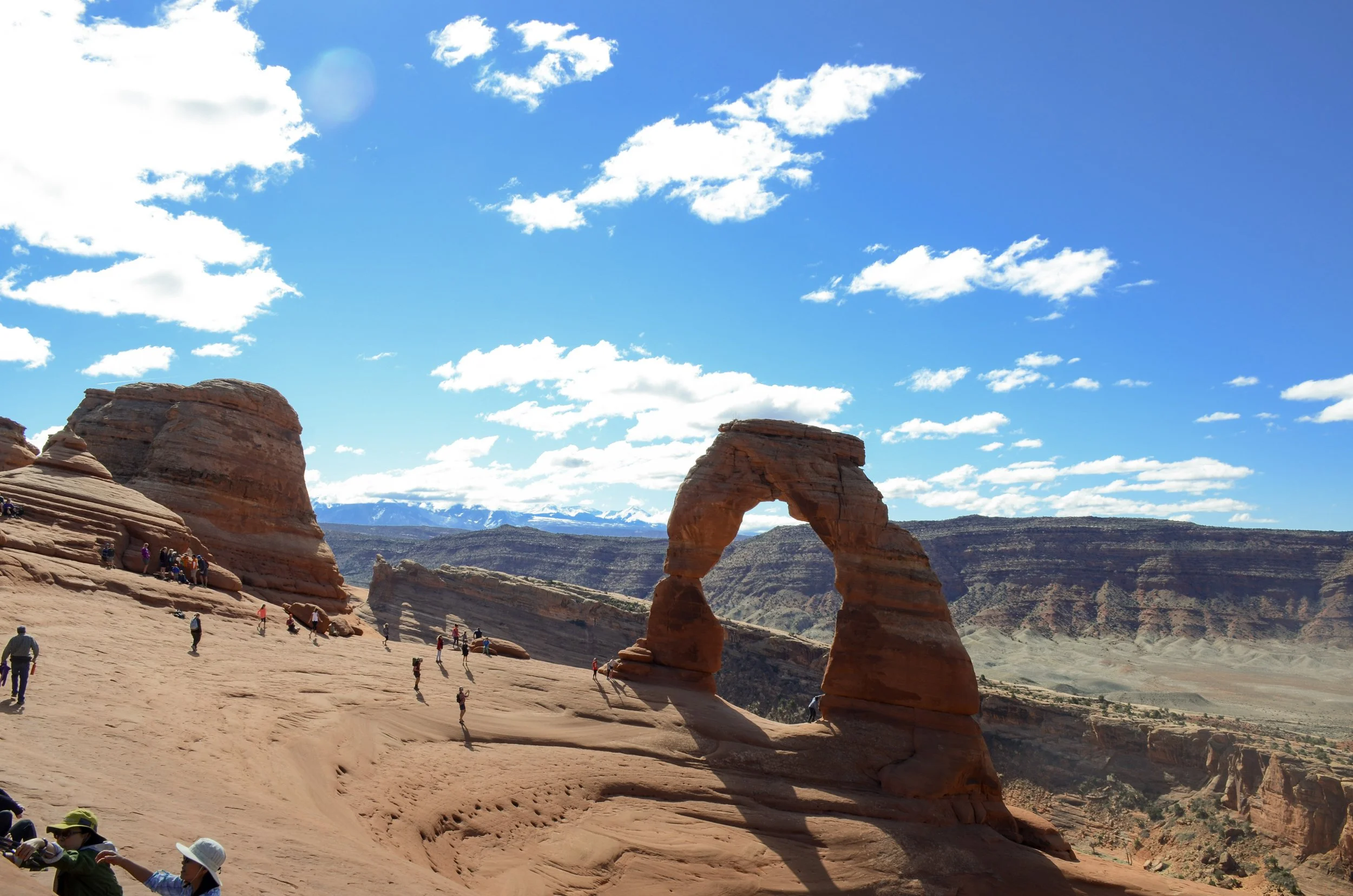
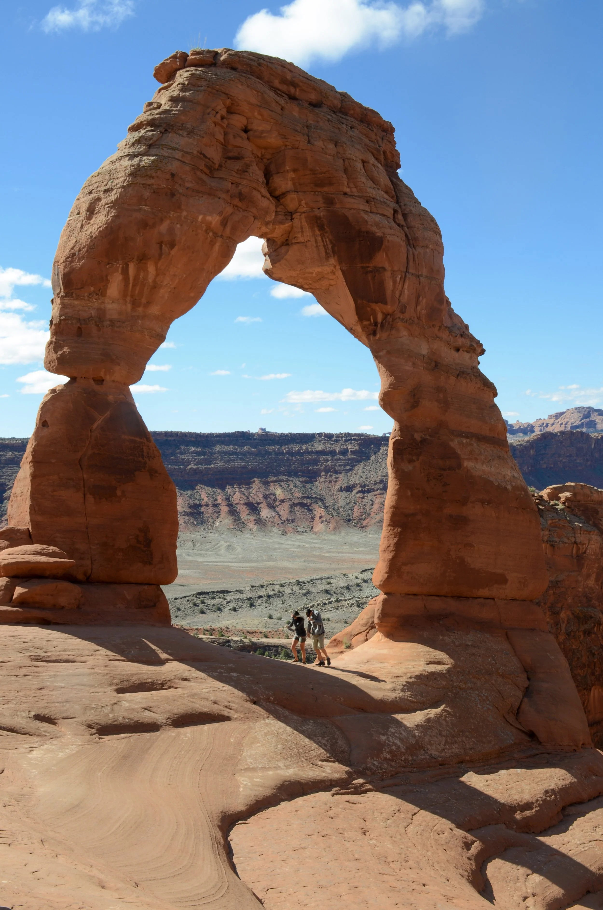
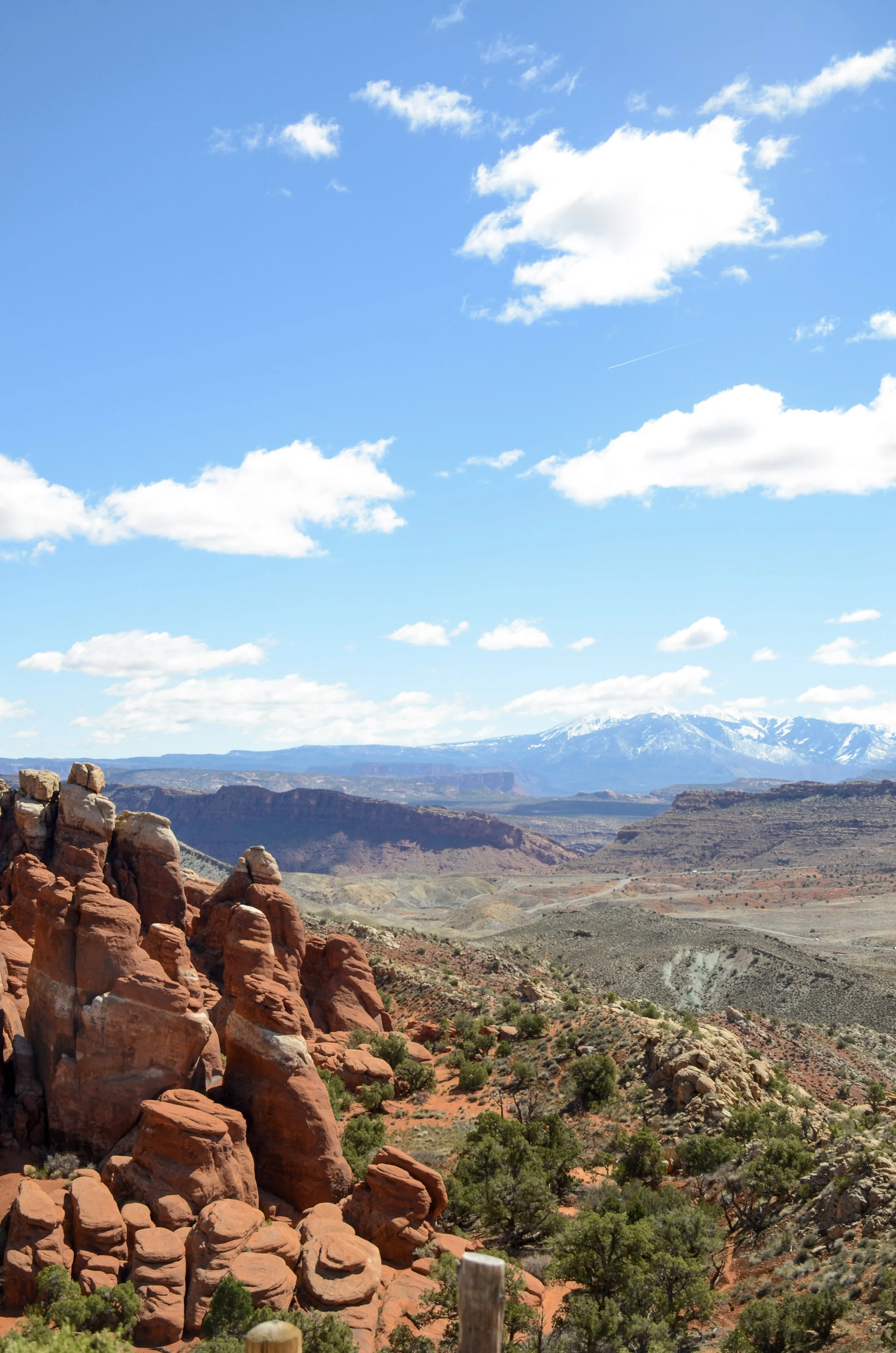
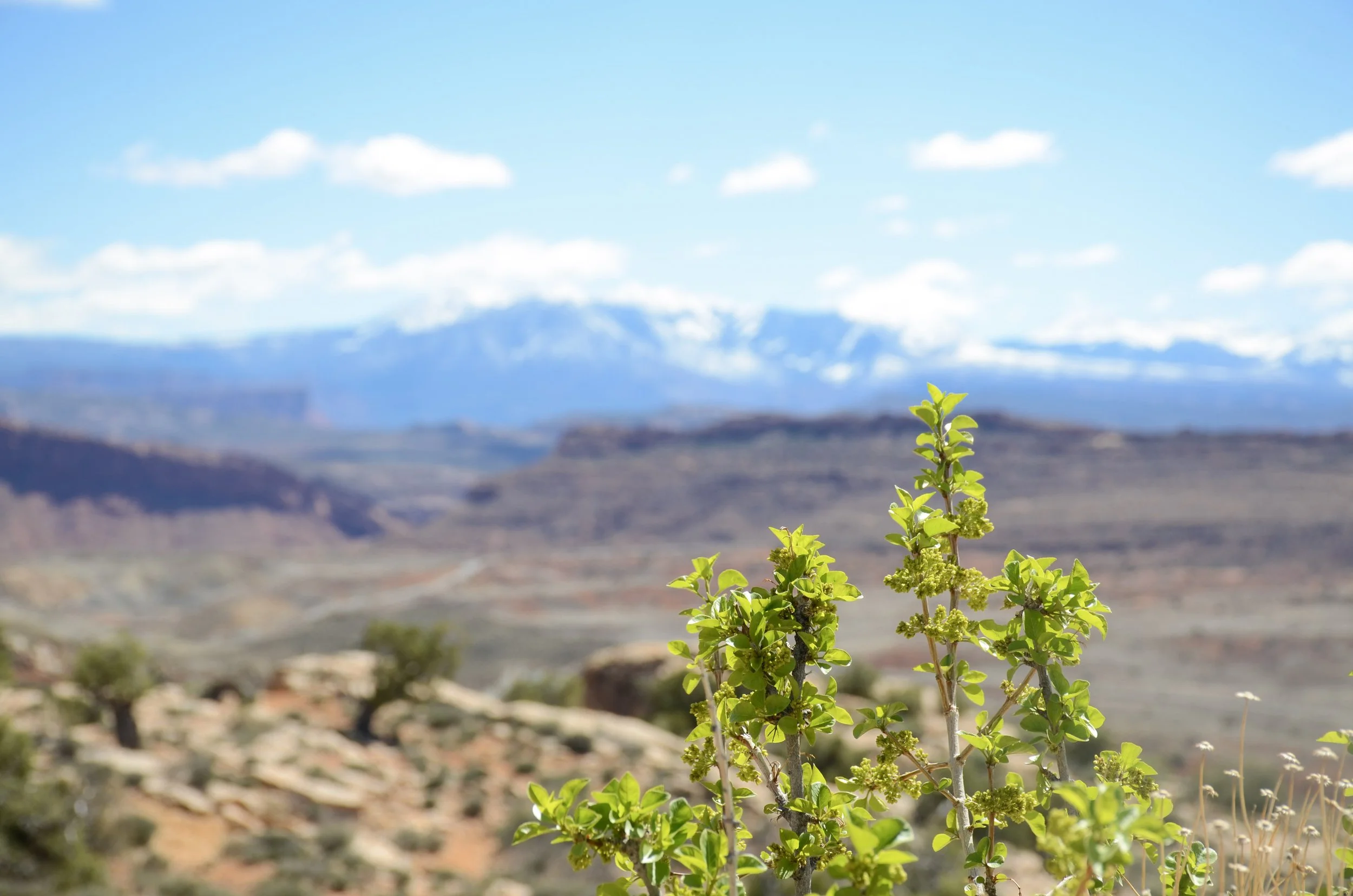
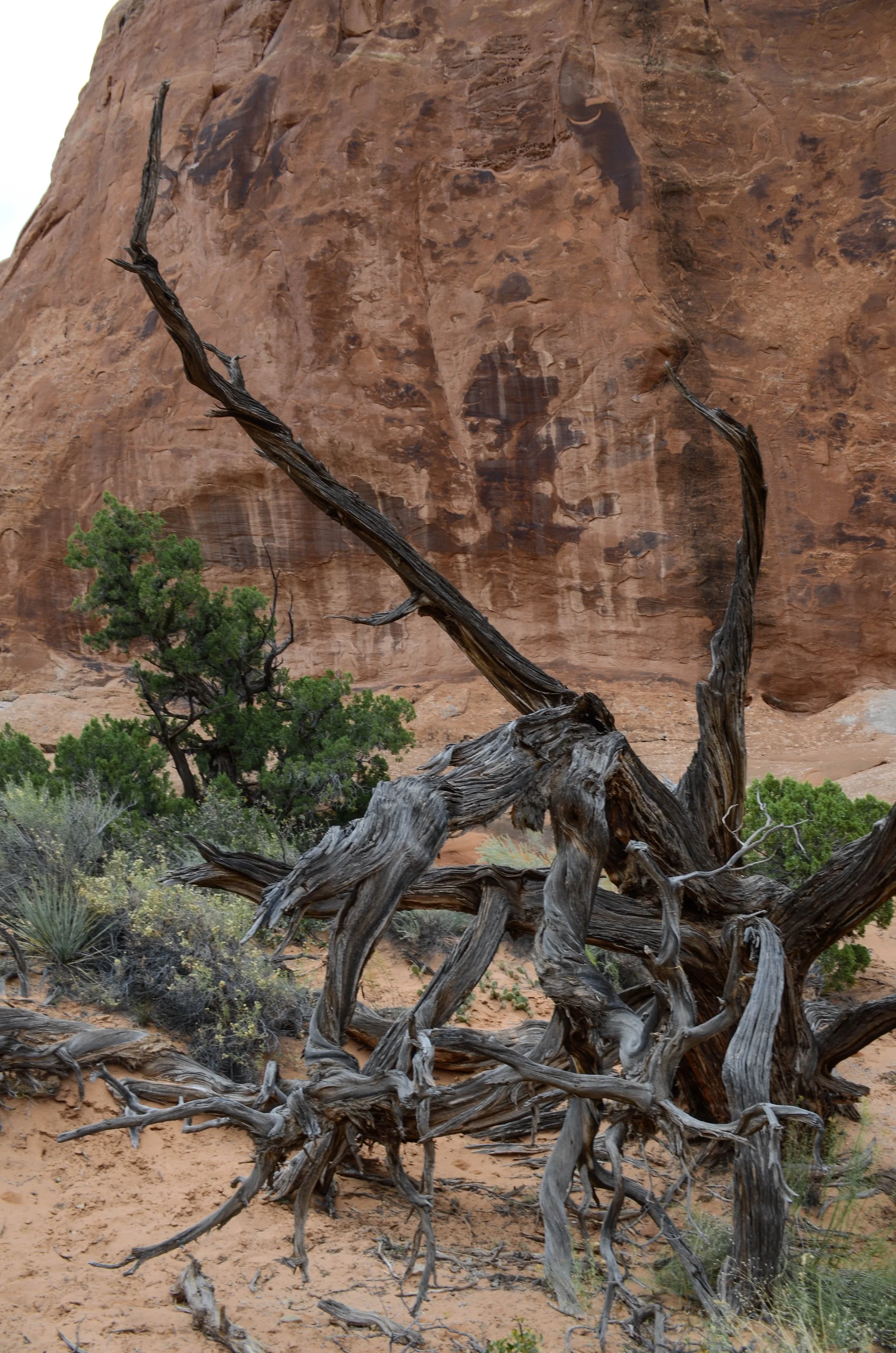
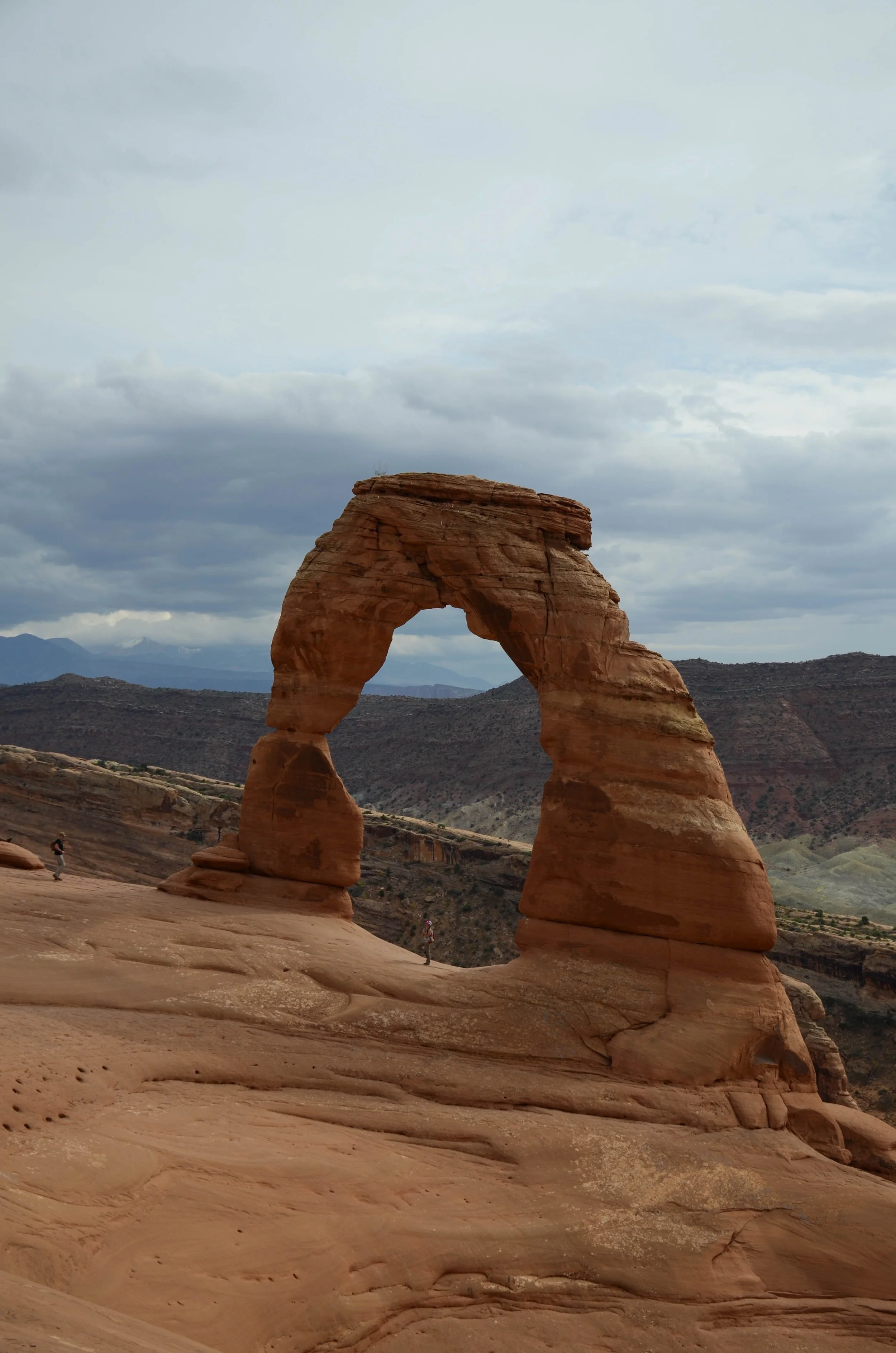
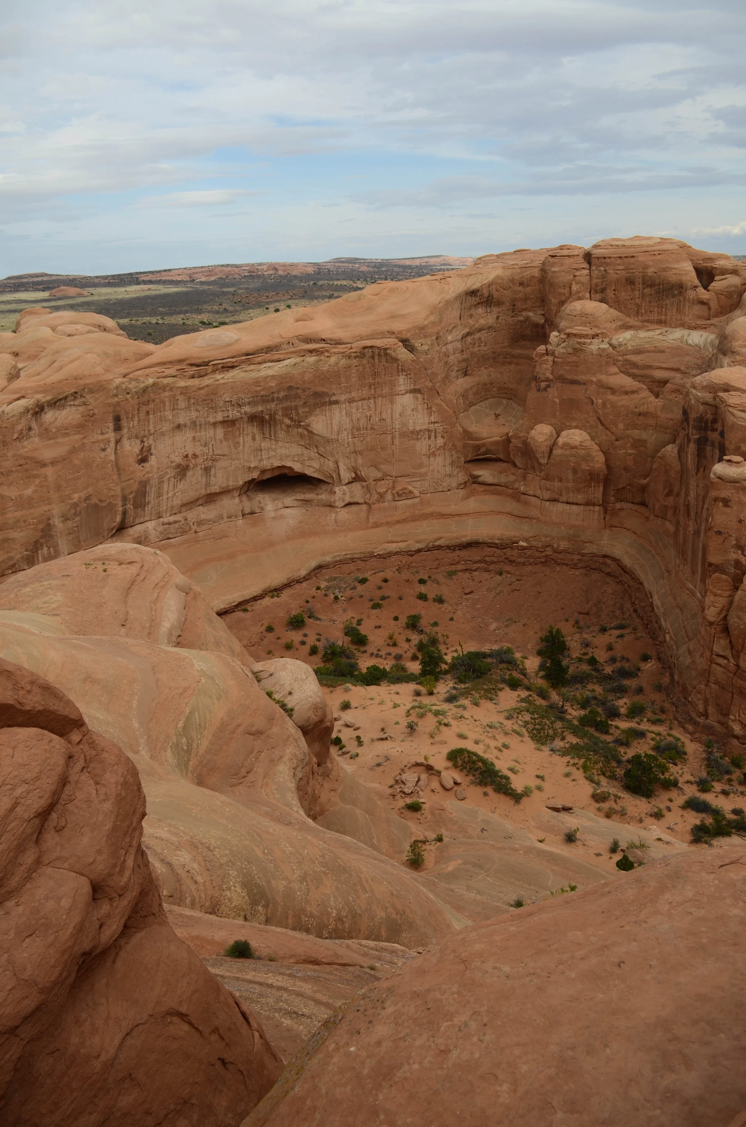
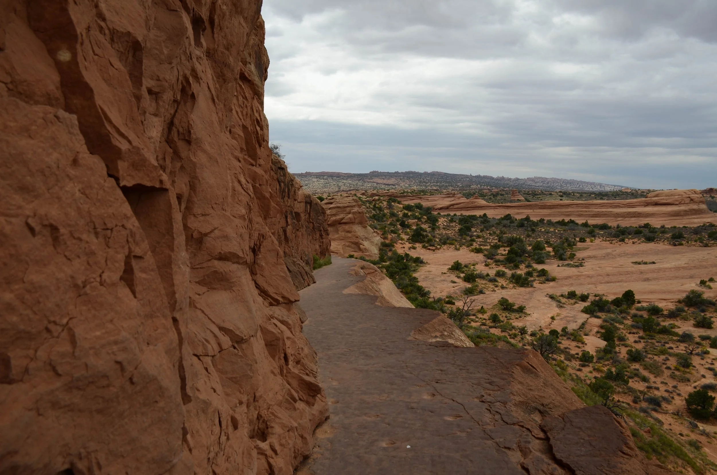
Once you reach the top of the road, the park opens up and many of the iconic rock formations begin coming into view. They have evocative names: Park Avenue, Courthouse Towers, Tower of Babel, The Phallus Pillar, The Eye of the Whale Arch. All owe their form to the particular mixture of wind, precipitation, and erosion that has carved this landscape over millennia into these delightfully varied shapes. We hiked to Delicate Arch, Double Arch, Landscape Arch, Wilson Arch. Clearly, this park was aptly named.
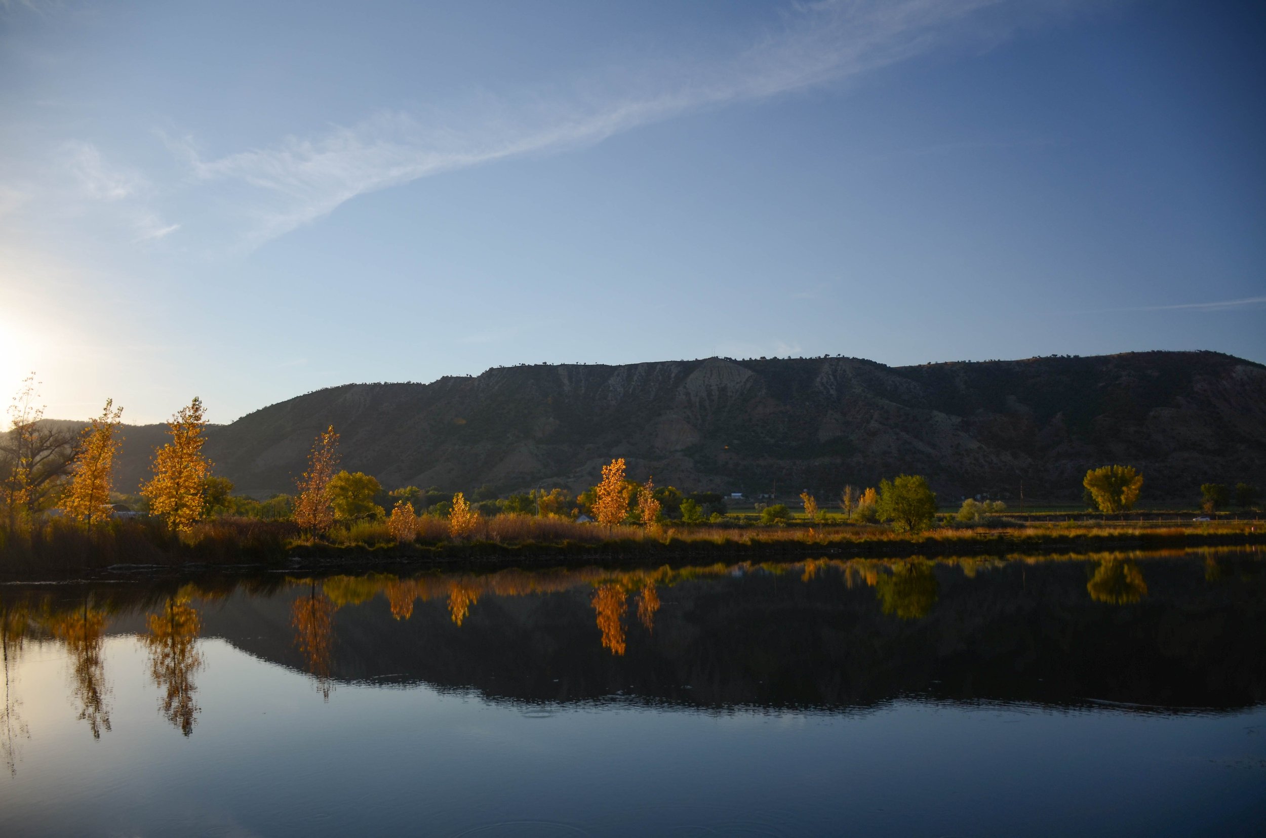
For the purposes of this post, I mixed in photos from a couple different trips to Arches — some from this springtime trip with J, another from a trip with friends the first autumn I lived in Colorado.
Pictured below:
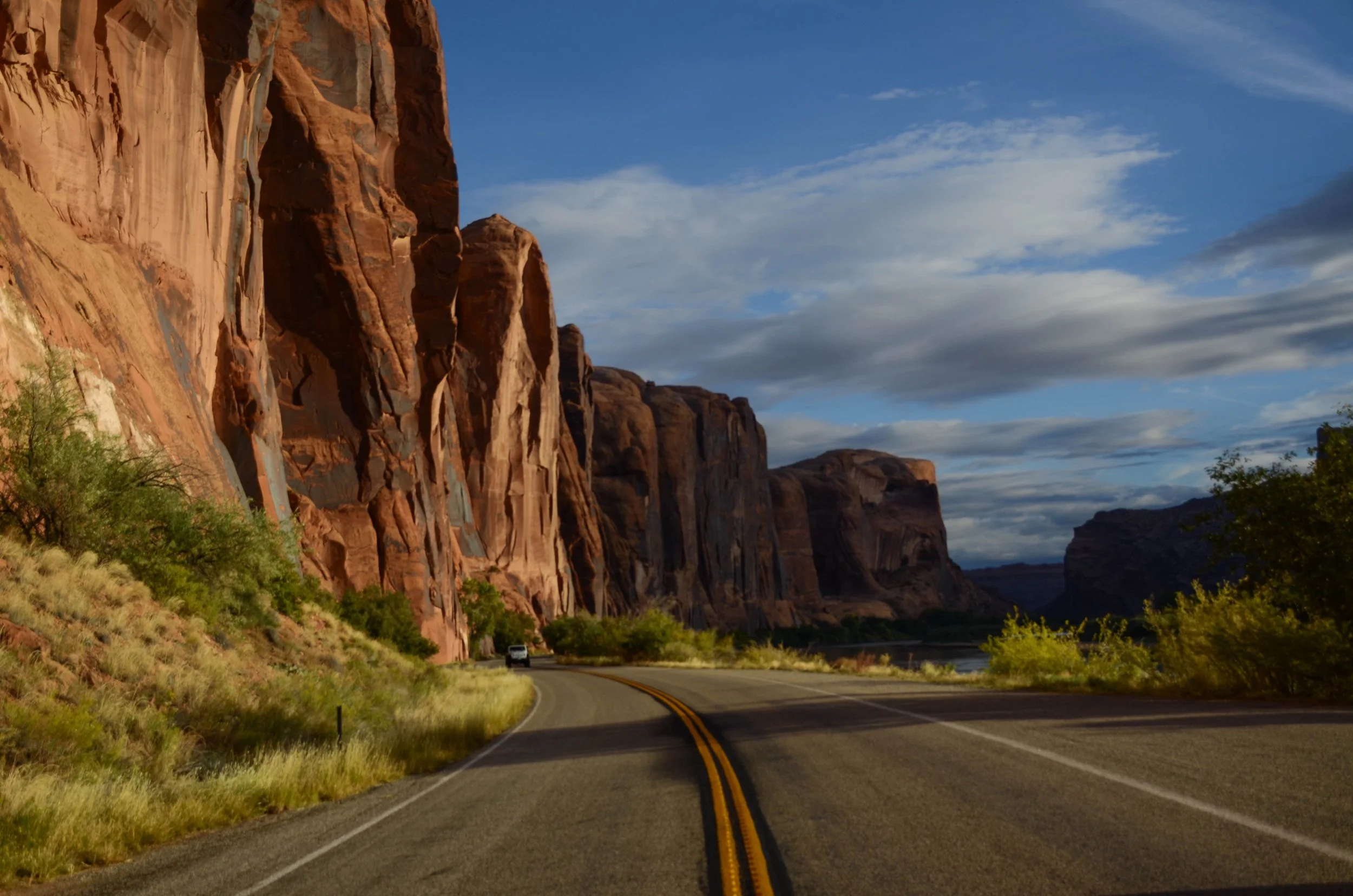
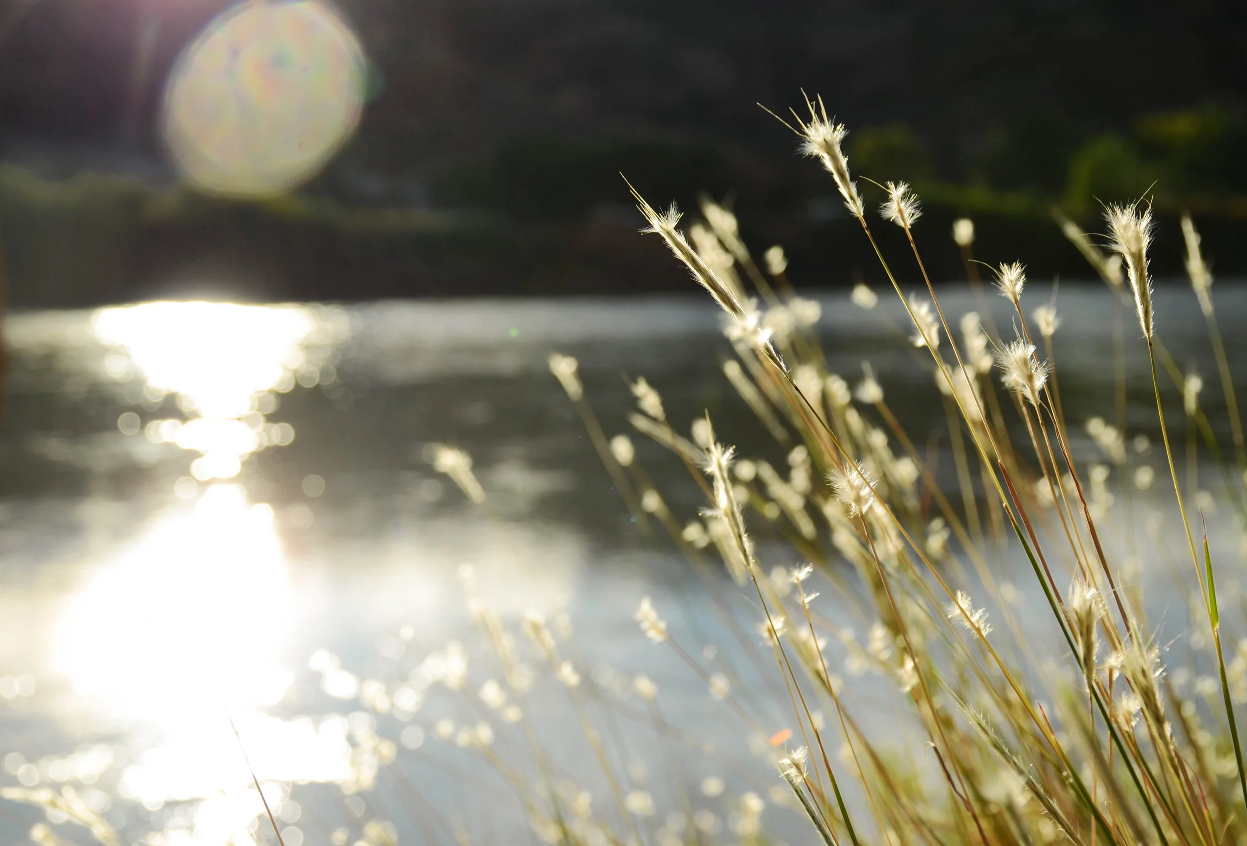
Moab, Utah.
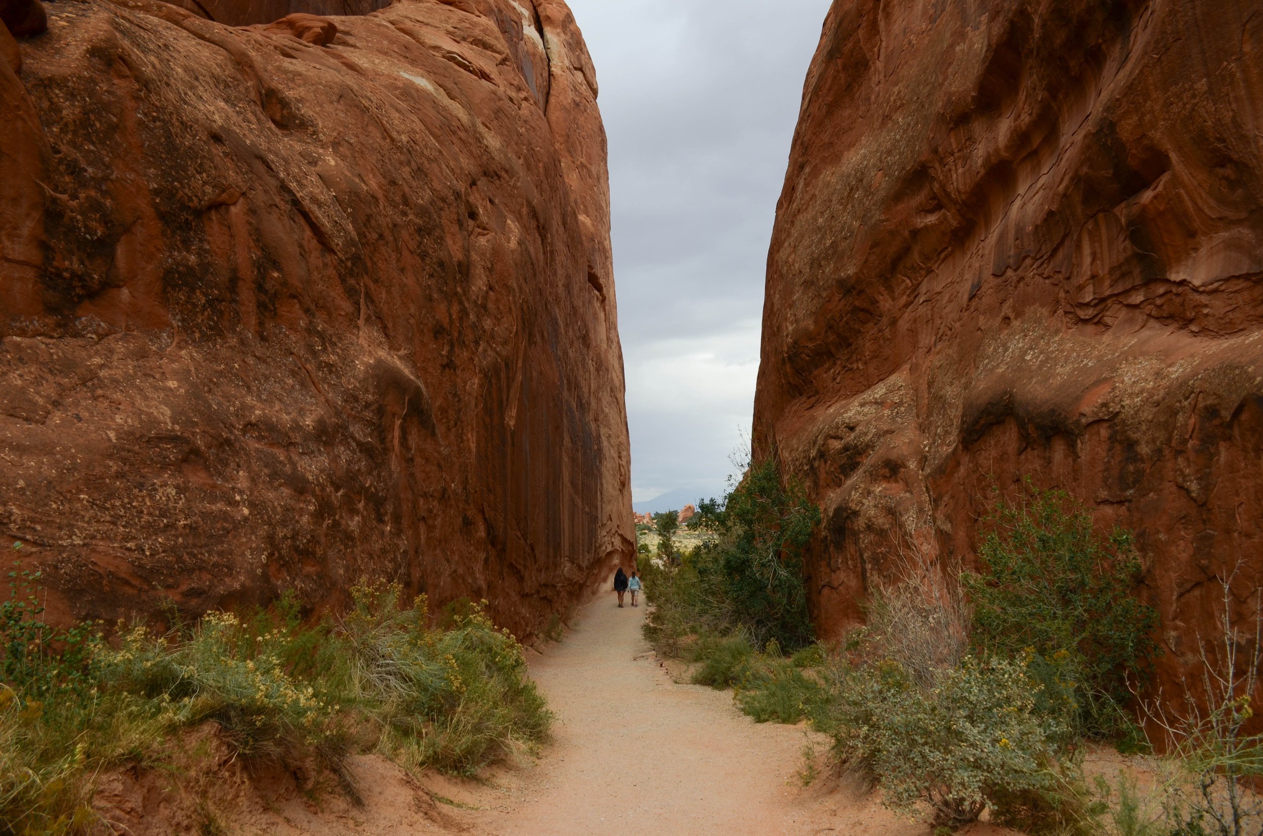
“Wall Street,” Utah.
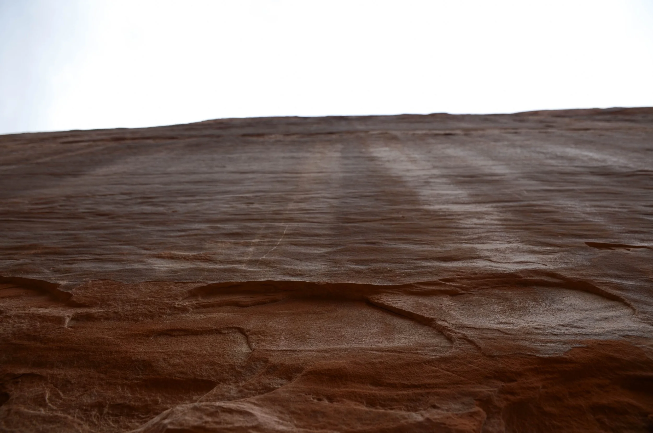
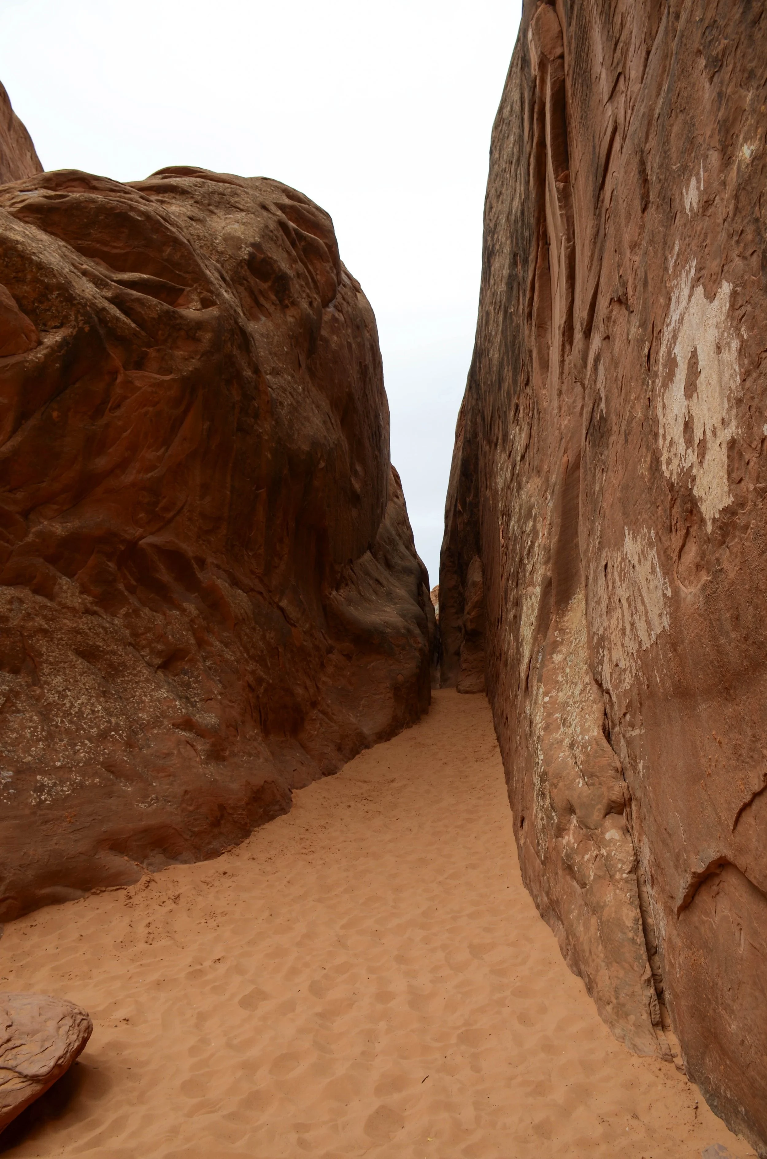
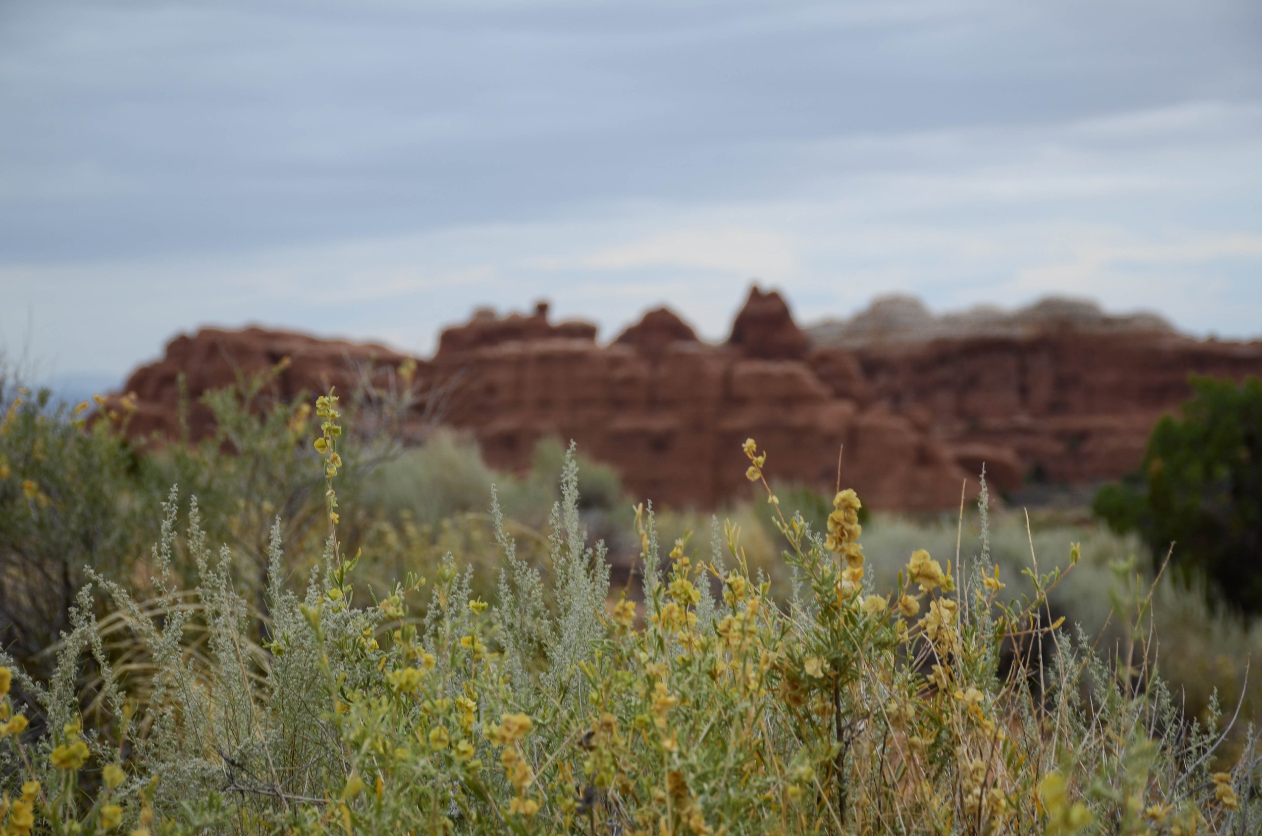
Arches National Park, Utah.
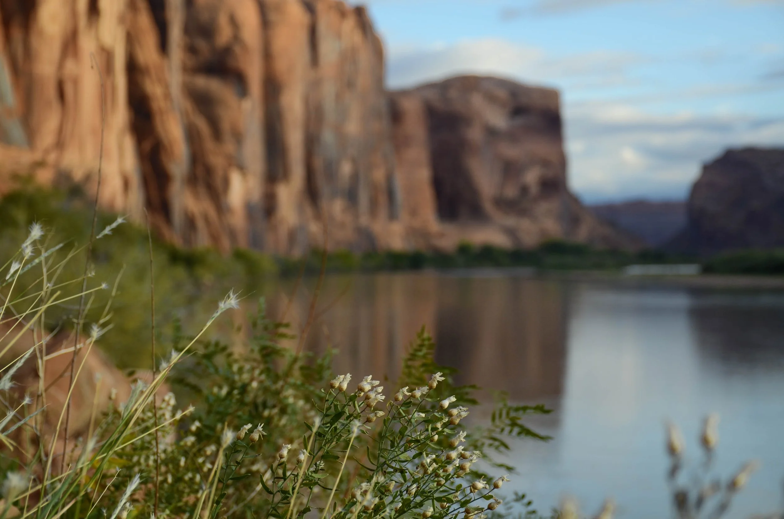
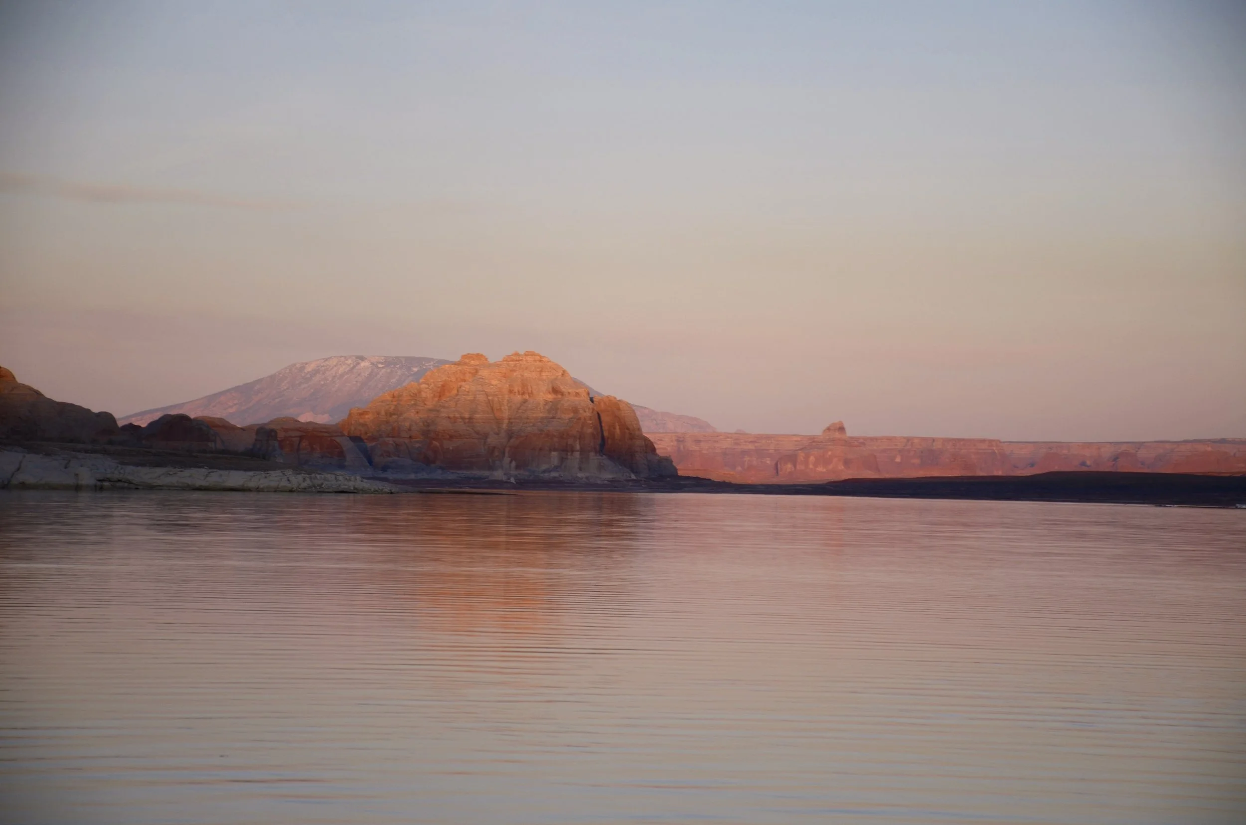
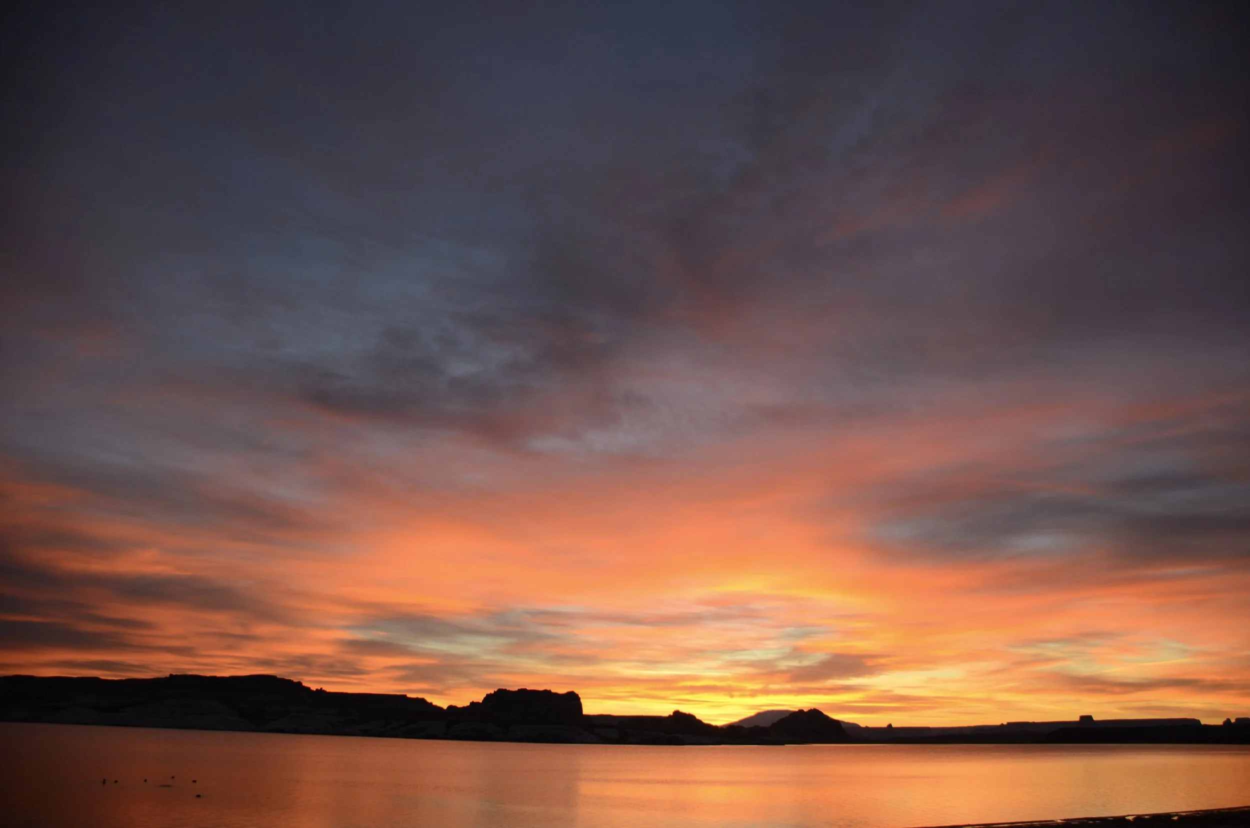
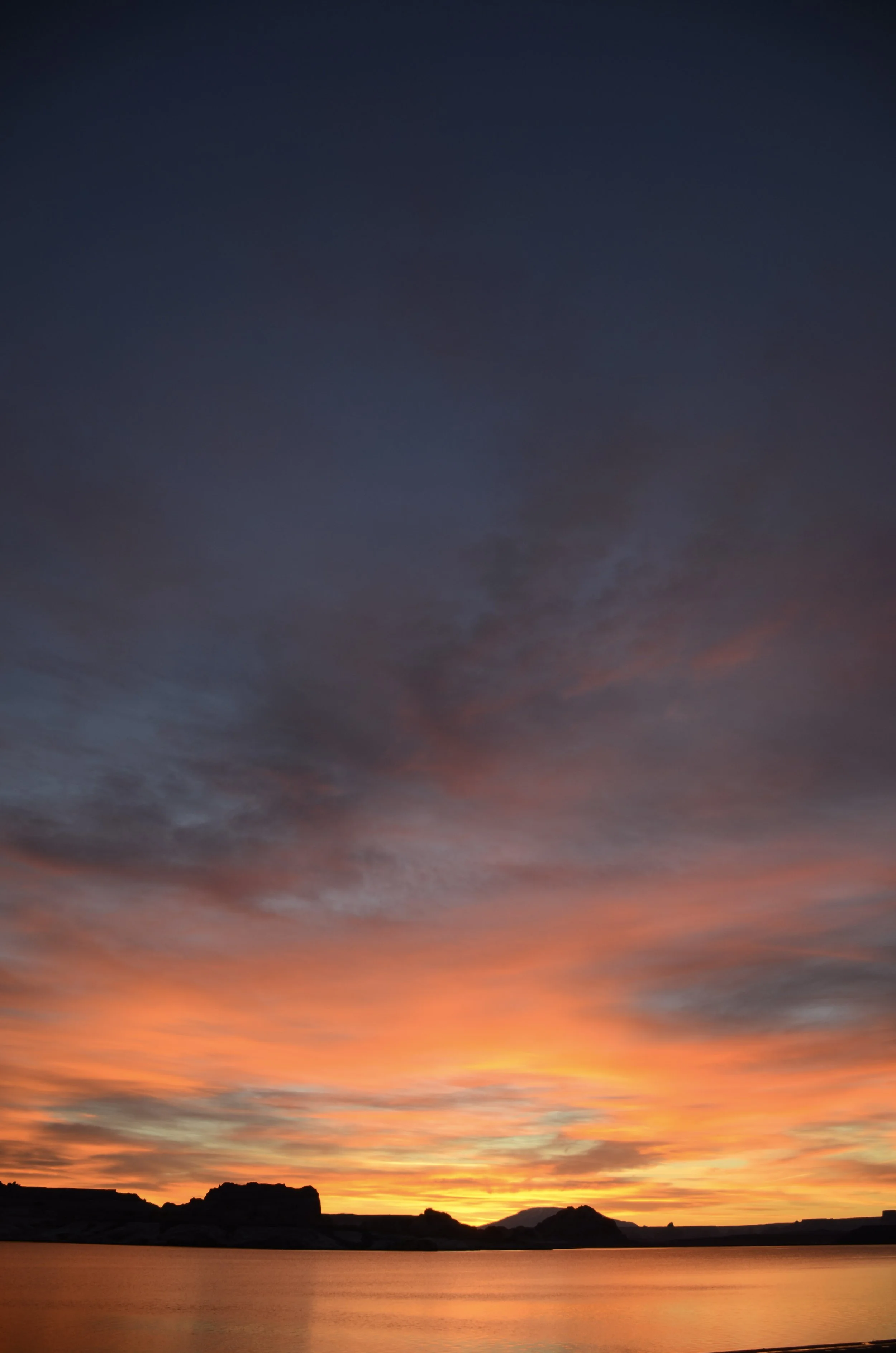
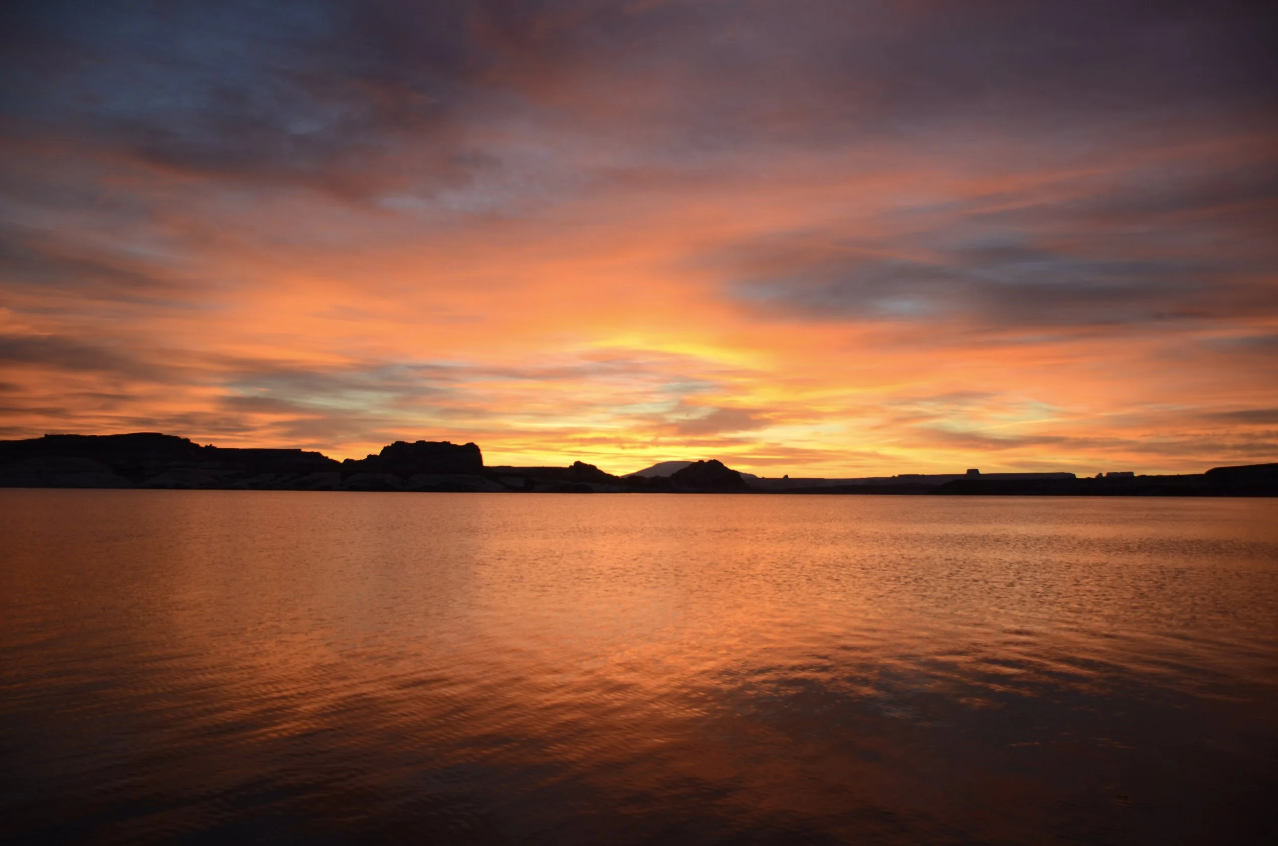
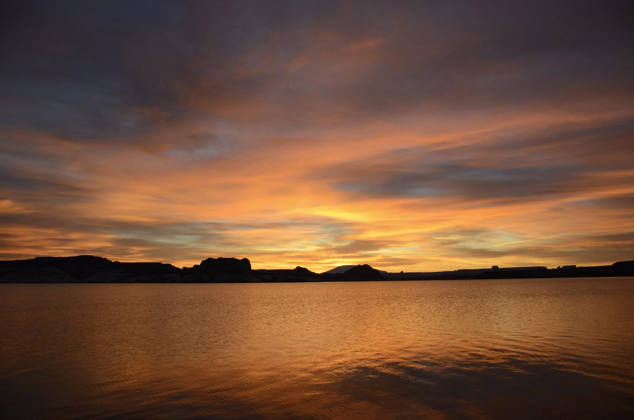
Lake Powell, Arizona.