International
Mexico
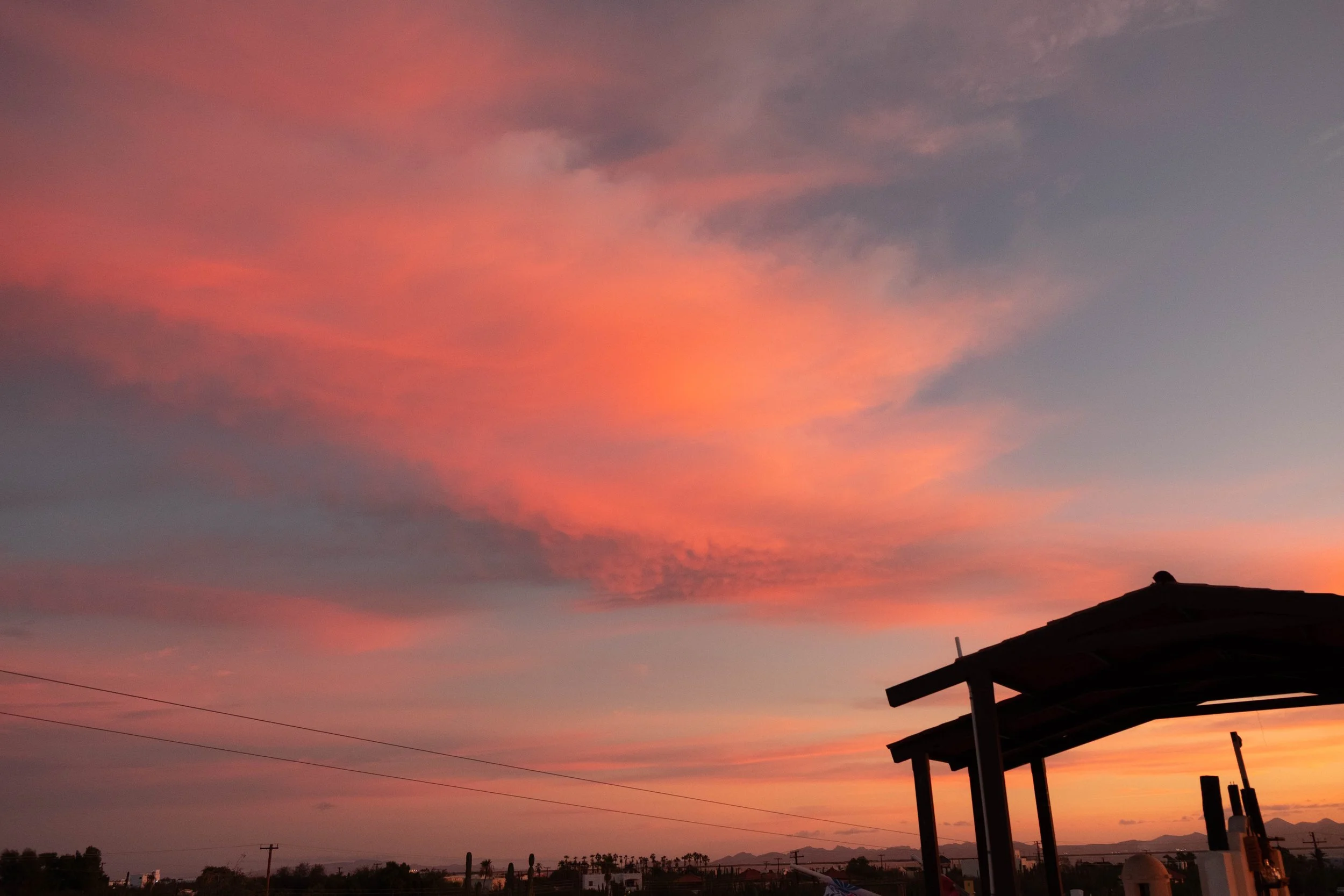
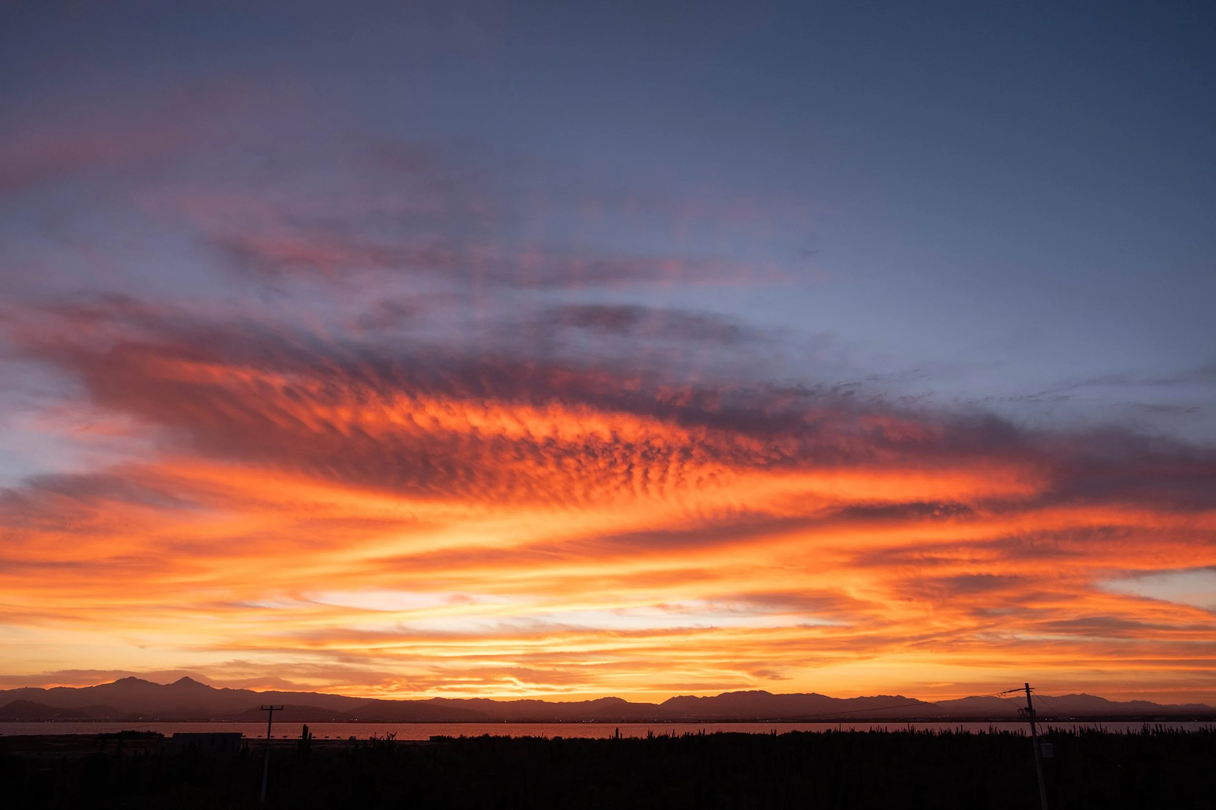
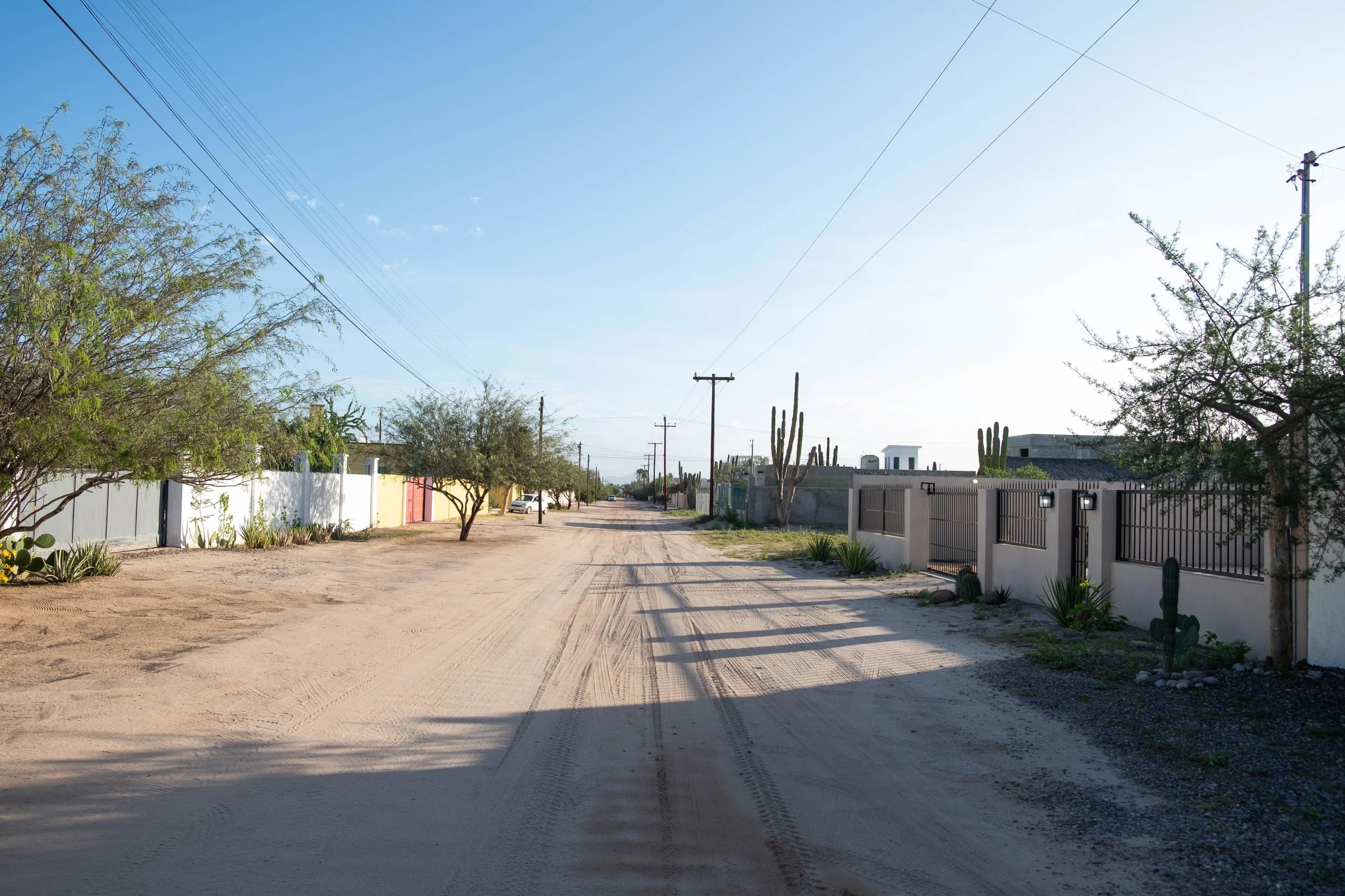
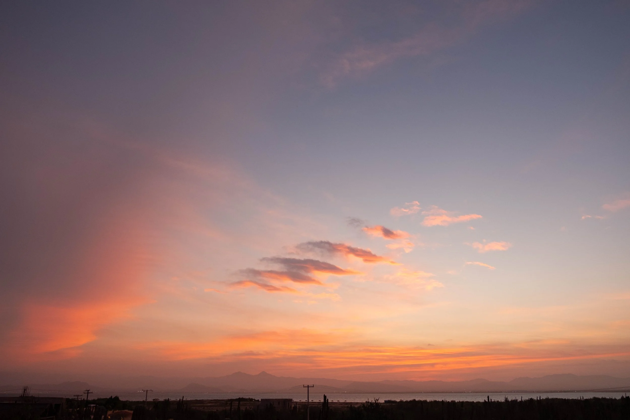
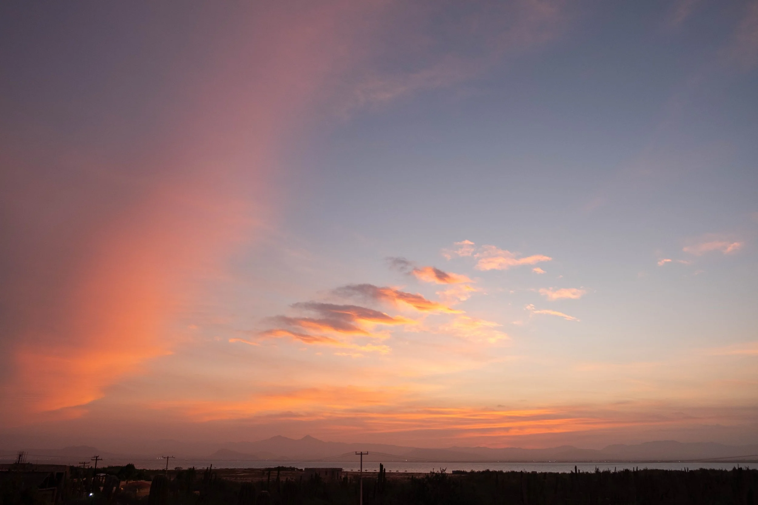
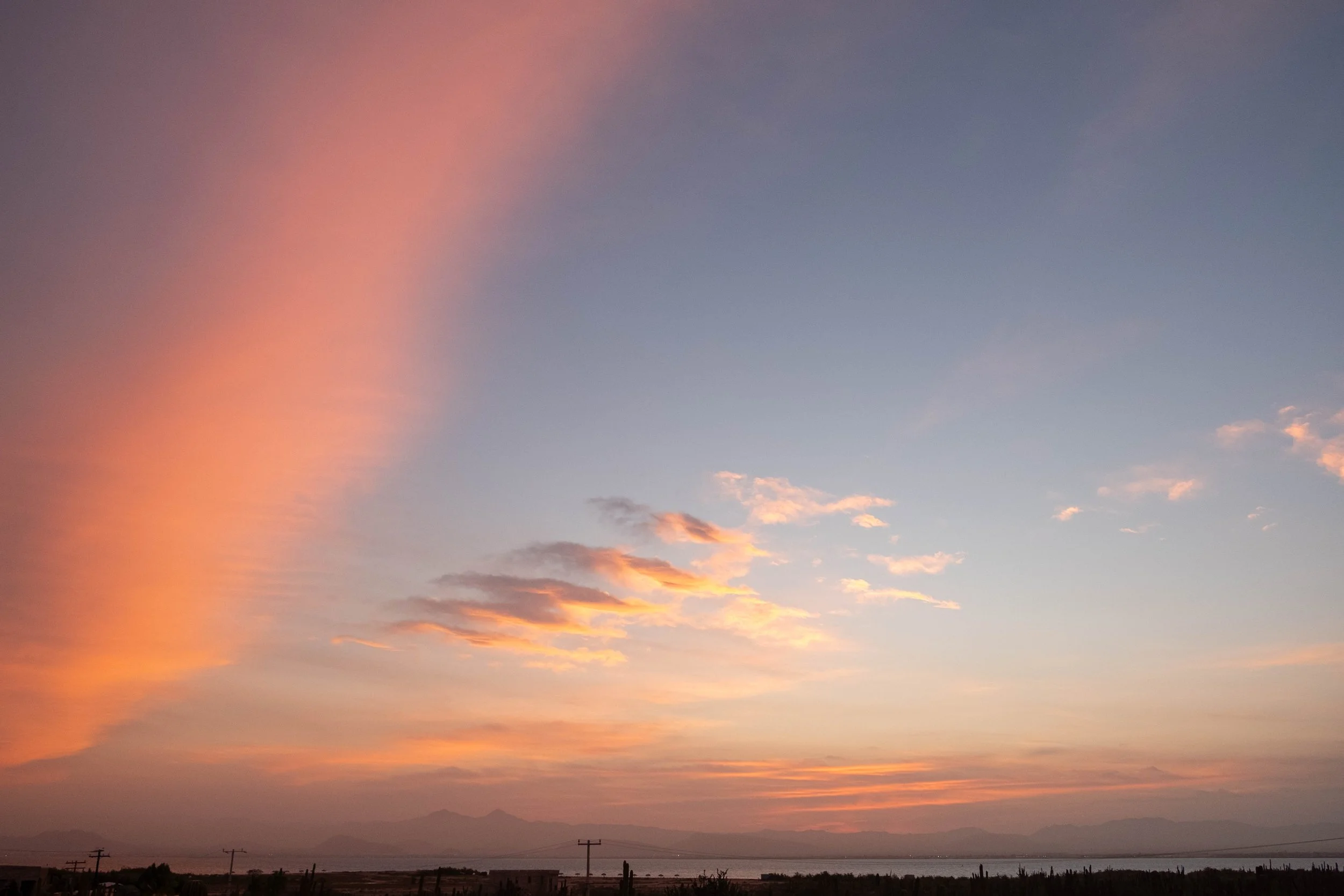
La Paz, Baja California Sur
La Paz, Baja California Sur | December 2025
When J and I initially received our scuba diving certification in 2023, all we knew is we wanted to use it when we visited Mafia Island off the coast of Tanzania. We loved our experience there but struggled to find a way to squeeze in another trip that incorporated our new skill set. Before we knew it, almost two years had passed. We decided to dedicate the winter break of 2025 to a trip that was exclusively oriented around scuba, hoping to reactivate and deepen our skills with several repeated days of dives. We also threw the invite out to my sister and her husband to see if they wanted to join and get scuba certified themselves — and were delighted when they said they were all in.
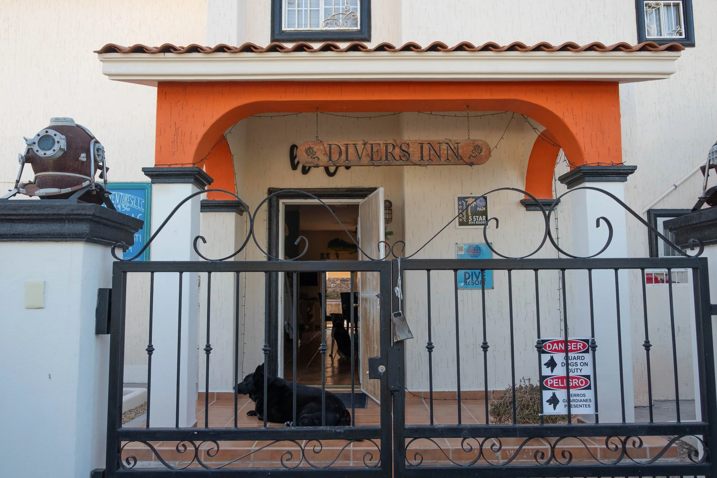
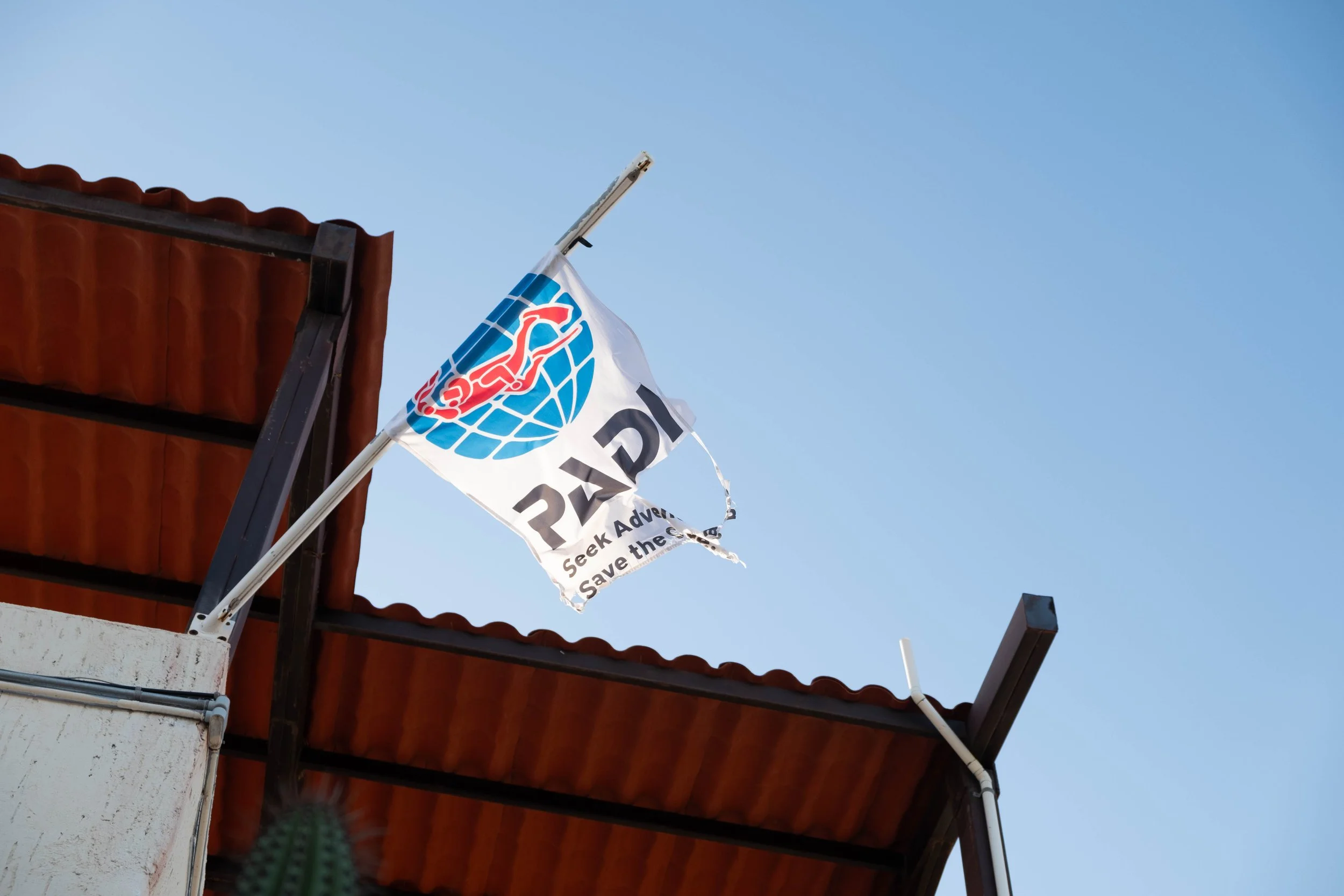
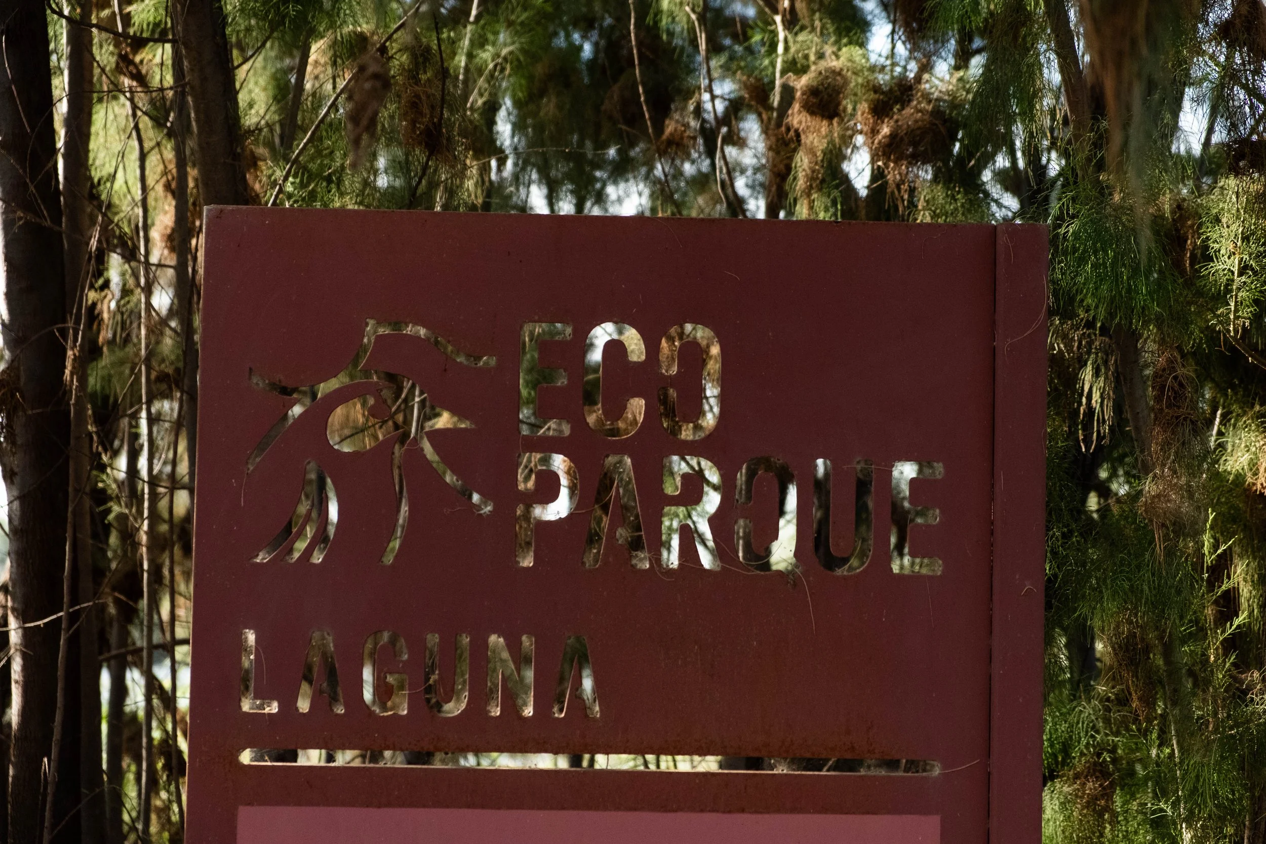
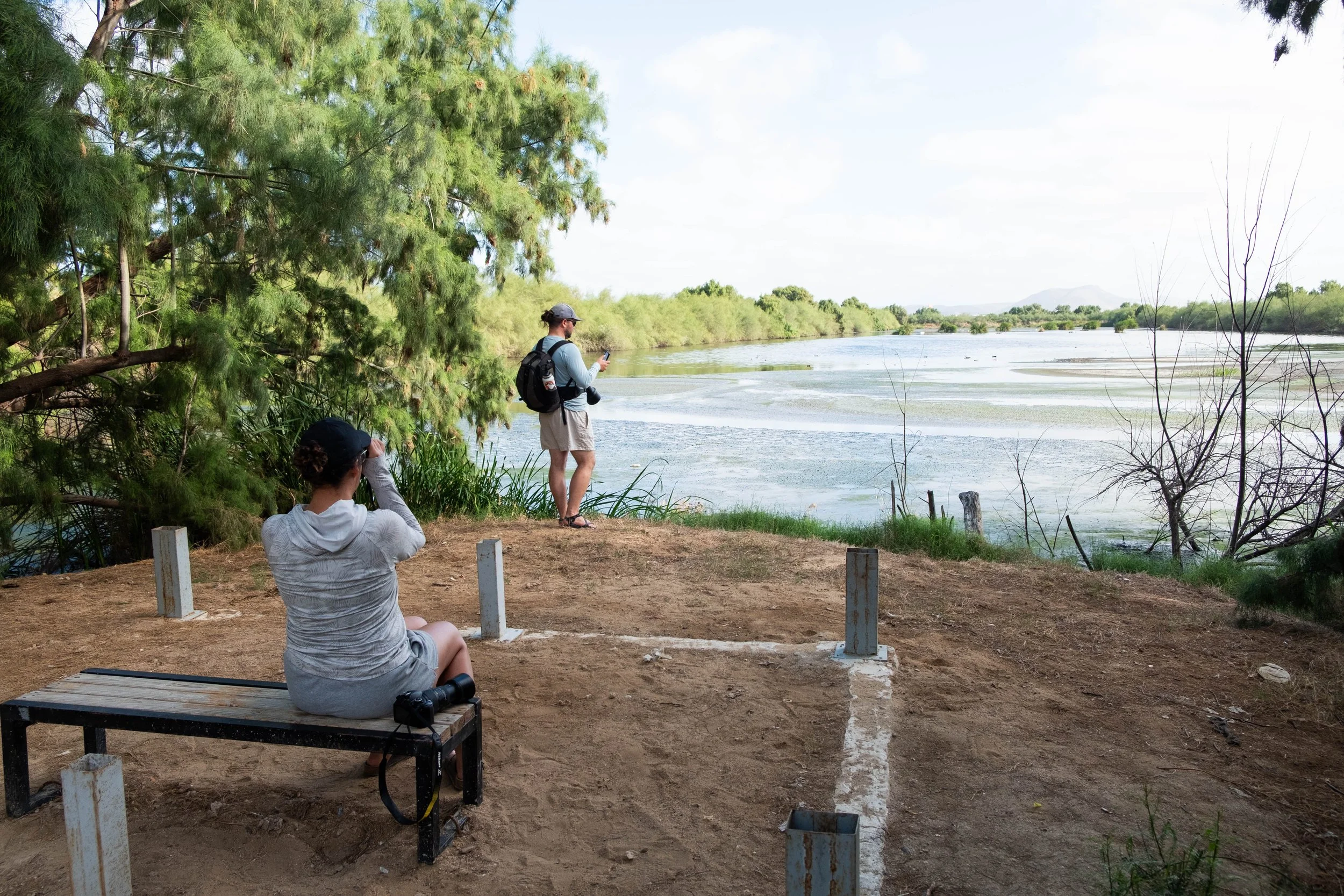
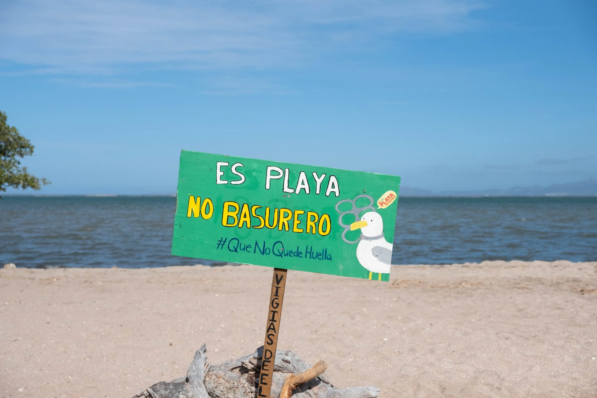
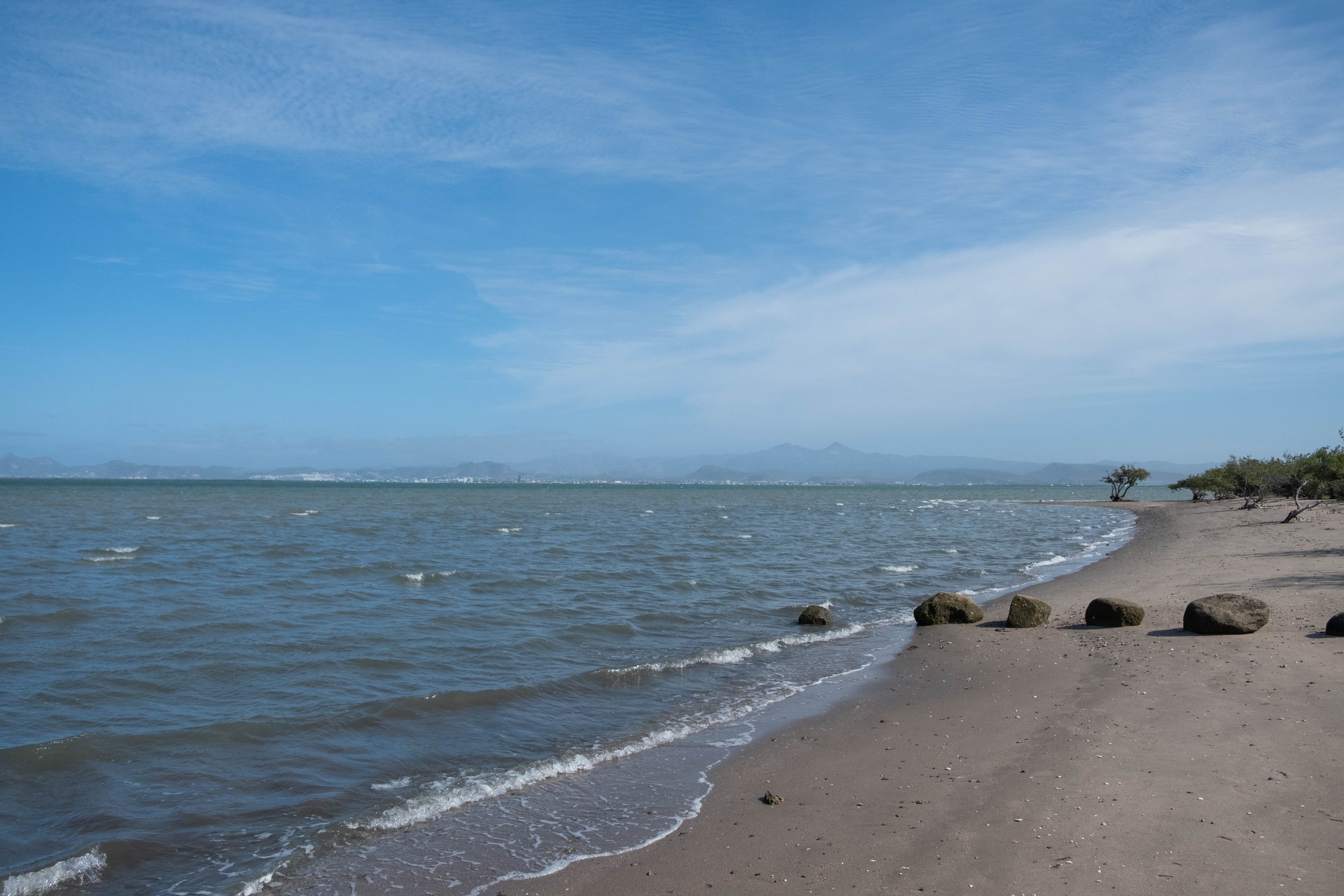
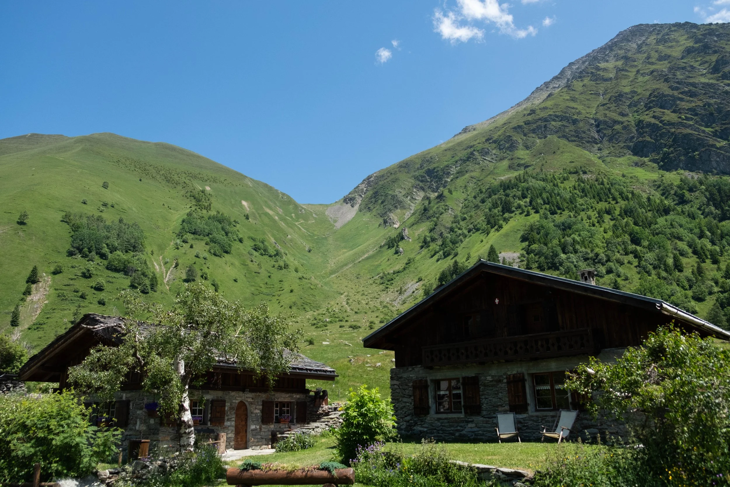
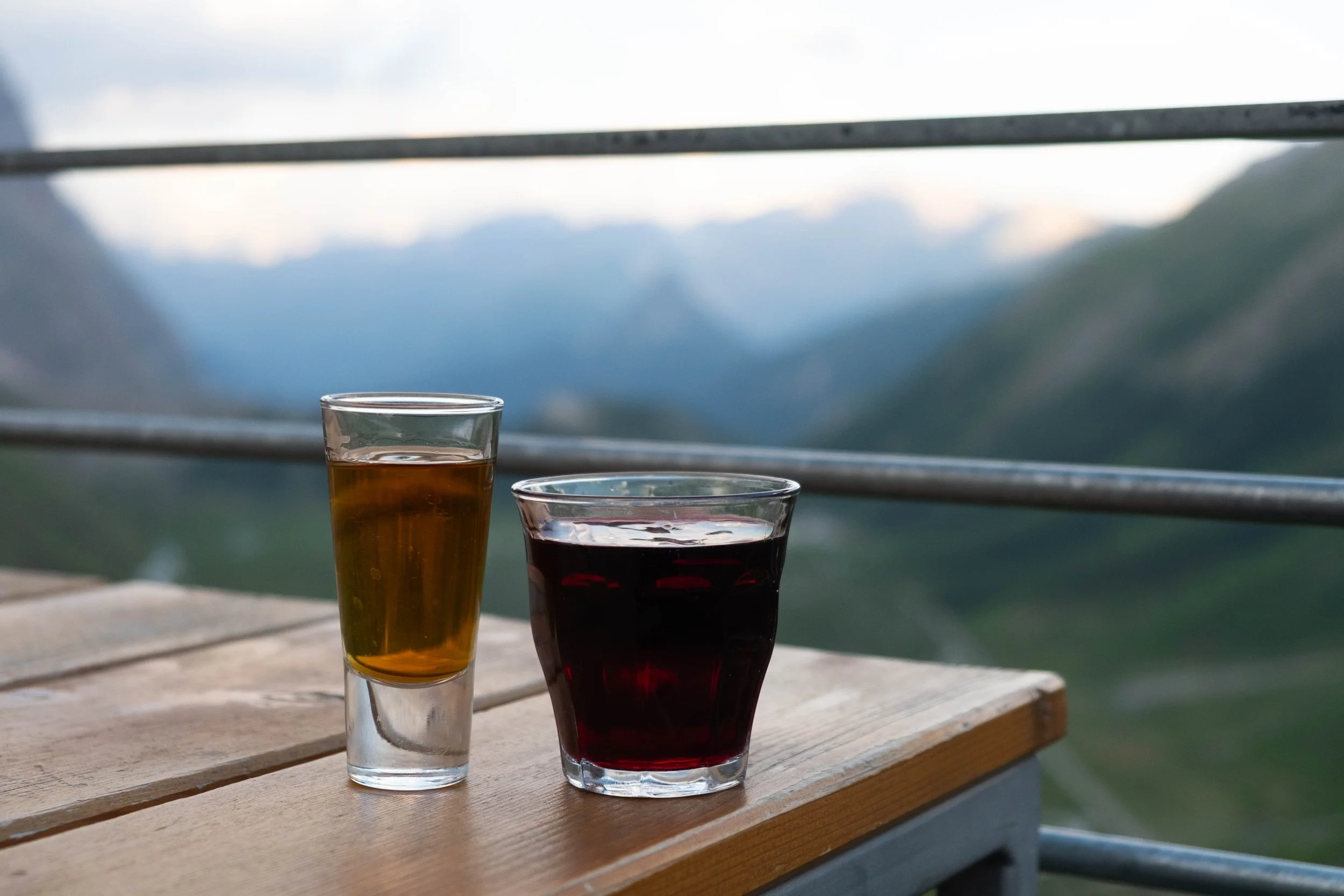
We did some research and identified a PADI-accredited shop in La Paz, Mexico, the capital of Baja California Sur, located about a 2.5 hour drive north of Cabo on the Gulf of California. We liked that La Paz seemed less touristy and more low-key than Cabo or other Mexican resort areas that catered to divers. We booked a week of lodging and diving through a little B&B that is run by a couple named Kristi & Richard: She the chef, he the dive master.
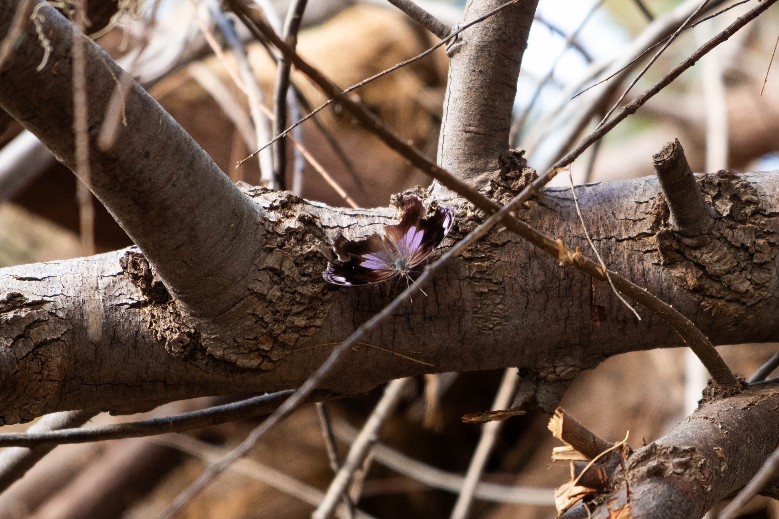
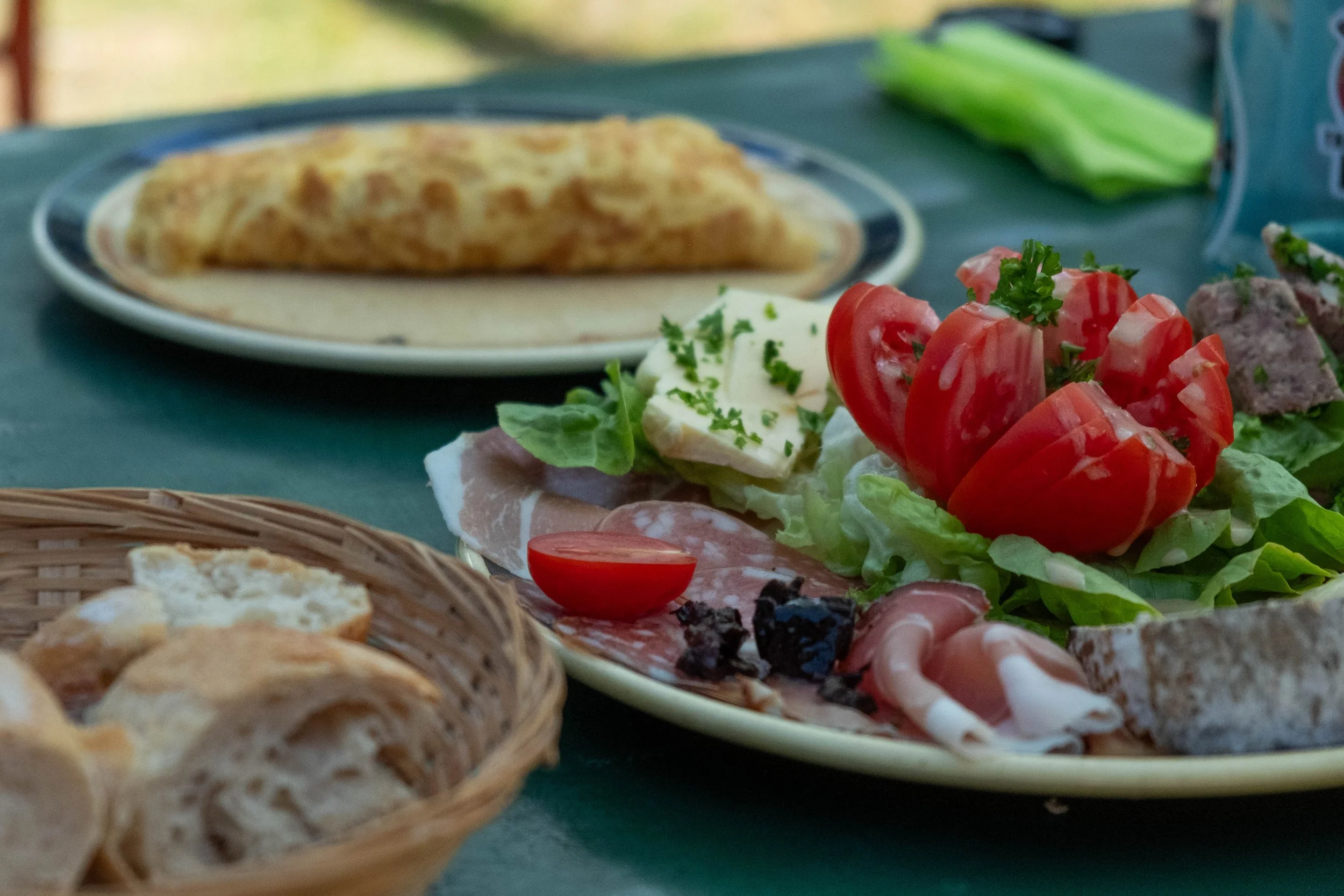
There were a lot of highlights from the trip. Days slipped by without a thought spared for life back home as we all focused on learning and improving our scuba skills. So many enjoyable conversations with each other and the other divers who came and went during the week. My brother-in-law saw a seahorse, my sister generated a list of almost 30 different kinds of fish she identified, J spotted a moral eel, and I had the delight of coming across a California two-spotted octopus (my proudest scuba achievement thus far!). The four of us spent a fun afternoon walking around La Paz and enjoying an incredible dinner at a restaurant that Evan found; that aguachile will forever be seared into my mind as one of the top dishes I’ve eaten while traveling. The fun, joy, and luxury of simply being away felt almost profound, especially after the heaviness that 2025 held. It was a breath, a pause, a moment of stillness within adventurous activity that I am very grateful for.
There were, however, a fair amount of lowlights too. After the first day of diving, I developed a severe toothache which turned into round-the-clock headaches and/or full migraines for the majority of the week. I managed it all week with Tylenol and ibuprofen on rotation, but it significantly curtailed my ability to relax, talk to people, or enjoy the experience. I was in bed by 8pm every night, trying to claw back to a baseline where I could function at a high enough level the next day. There were a couple nights I was wide awake at 2am with a throbbing jaw, wondering if I should pull out our trip insurance and call the trip early so I could get my toothache addressed. In the end, I decided to push through the pain for the full week and tend to it once we were back stateside.
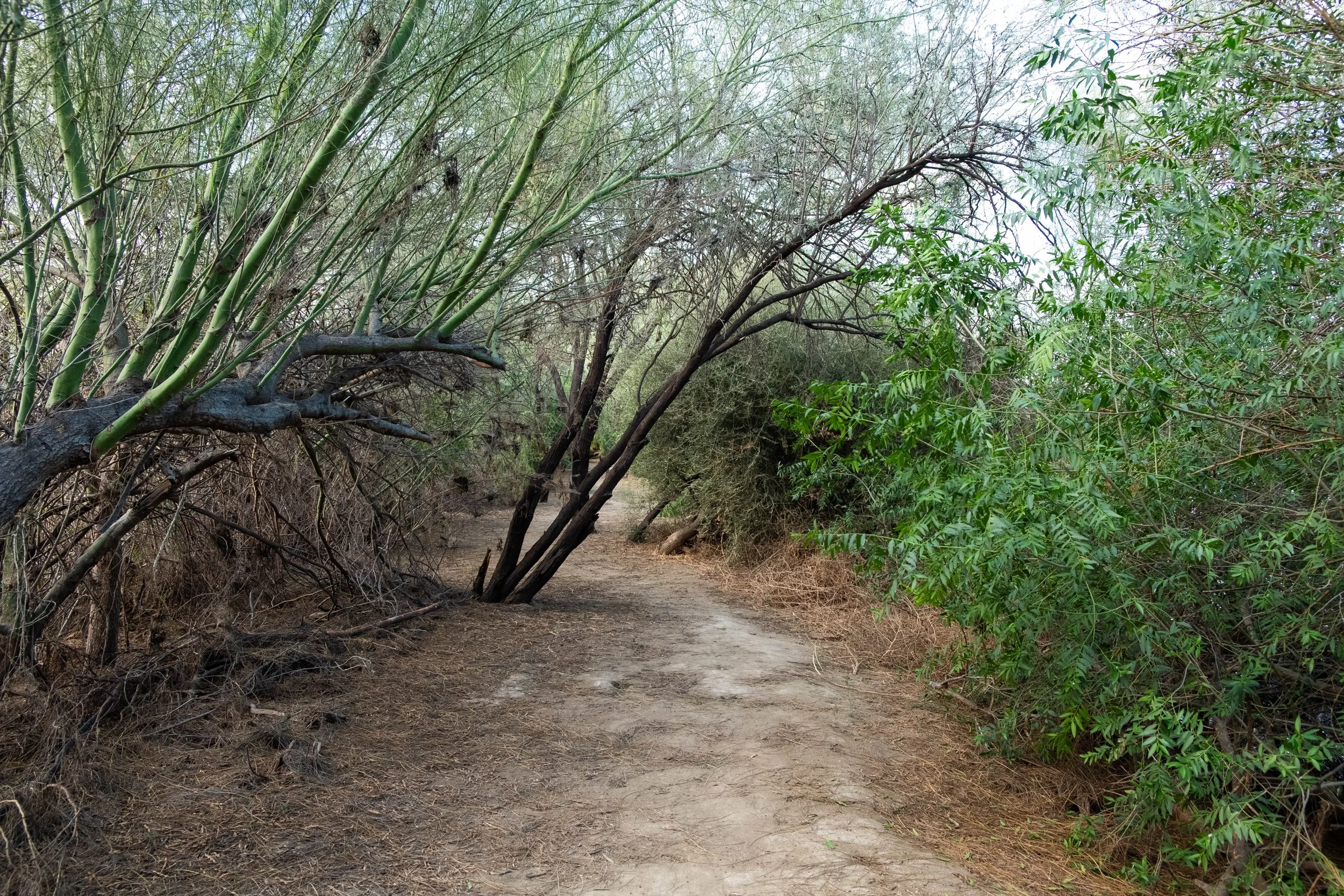
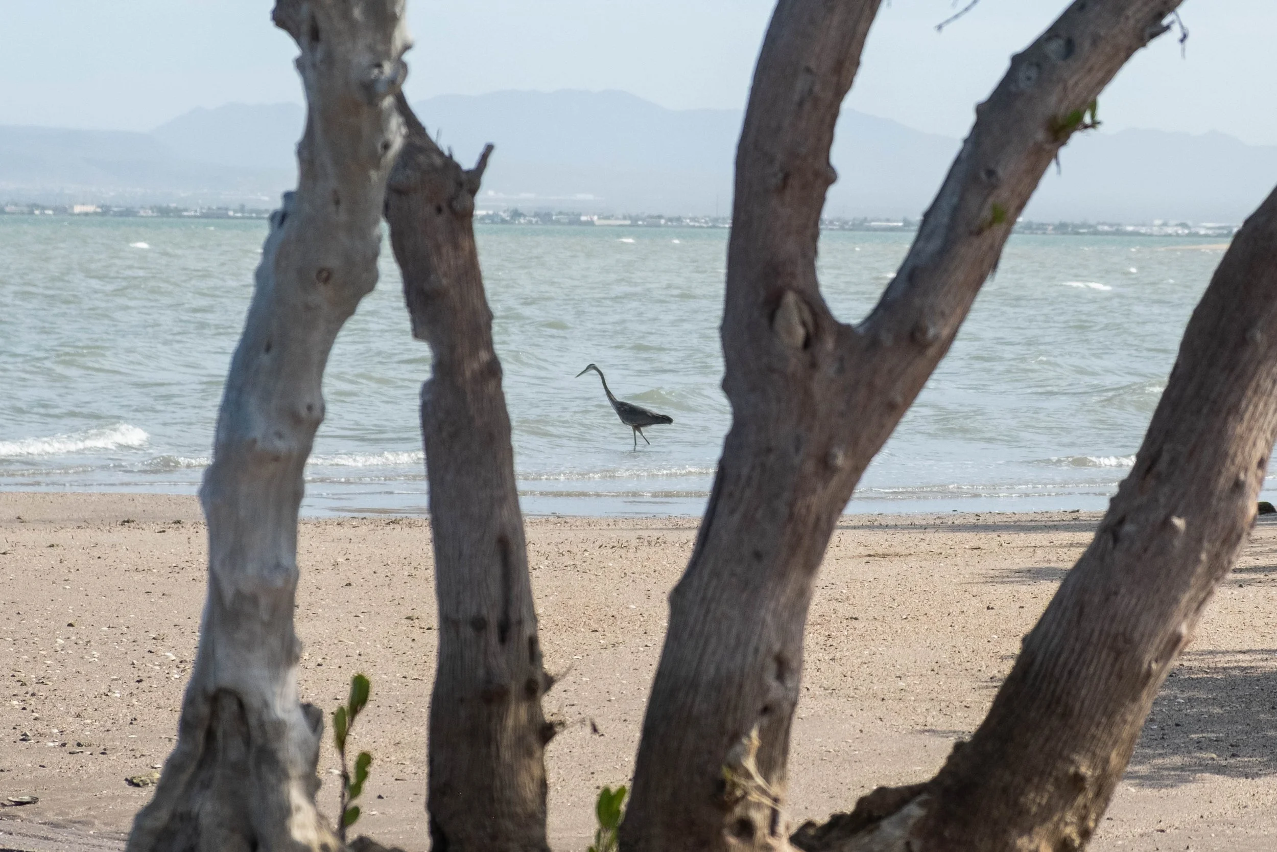
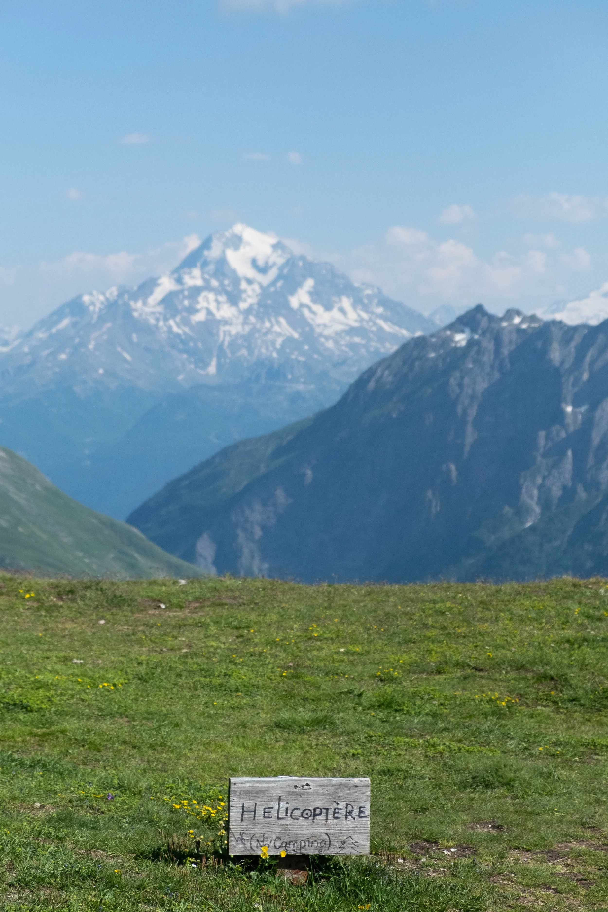
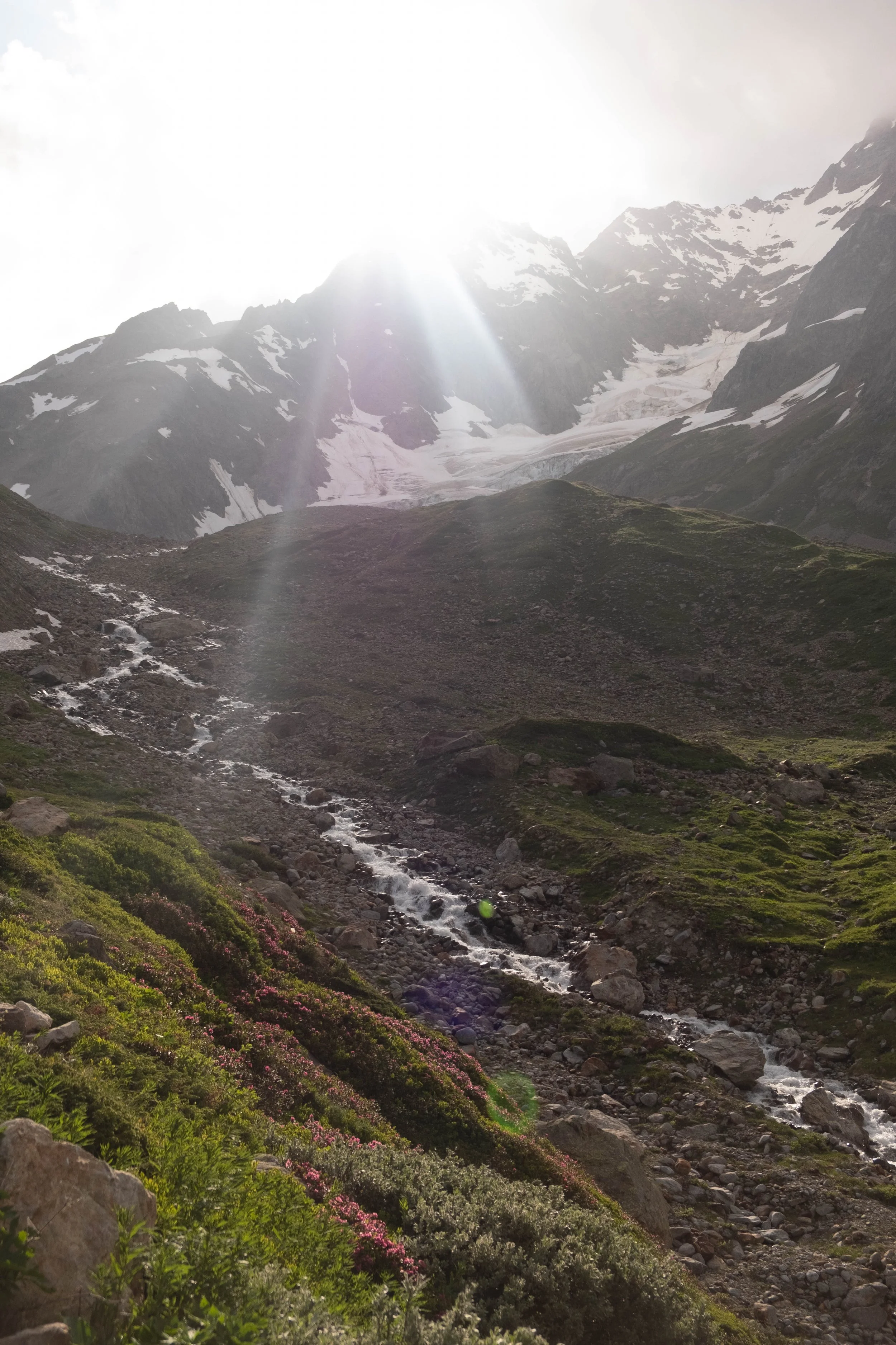
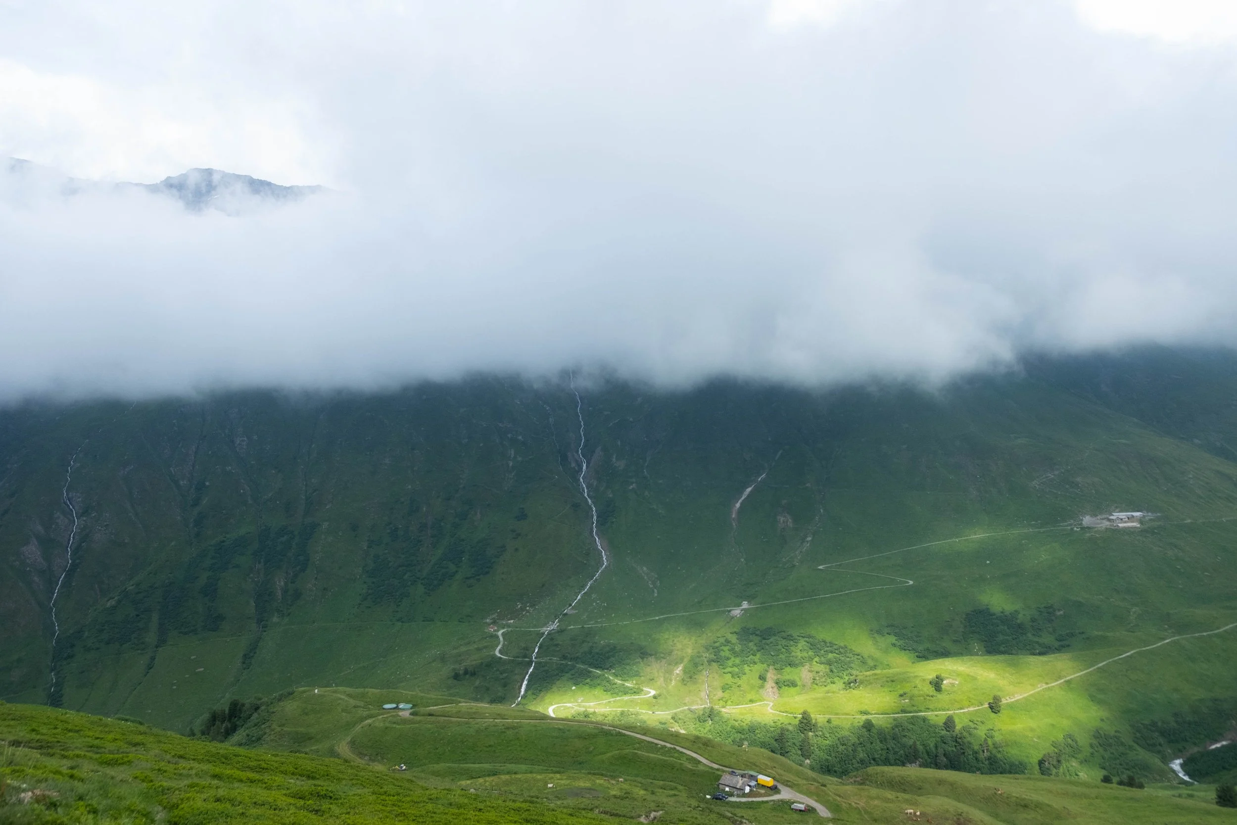
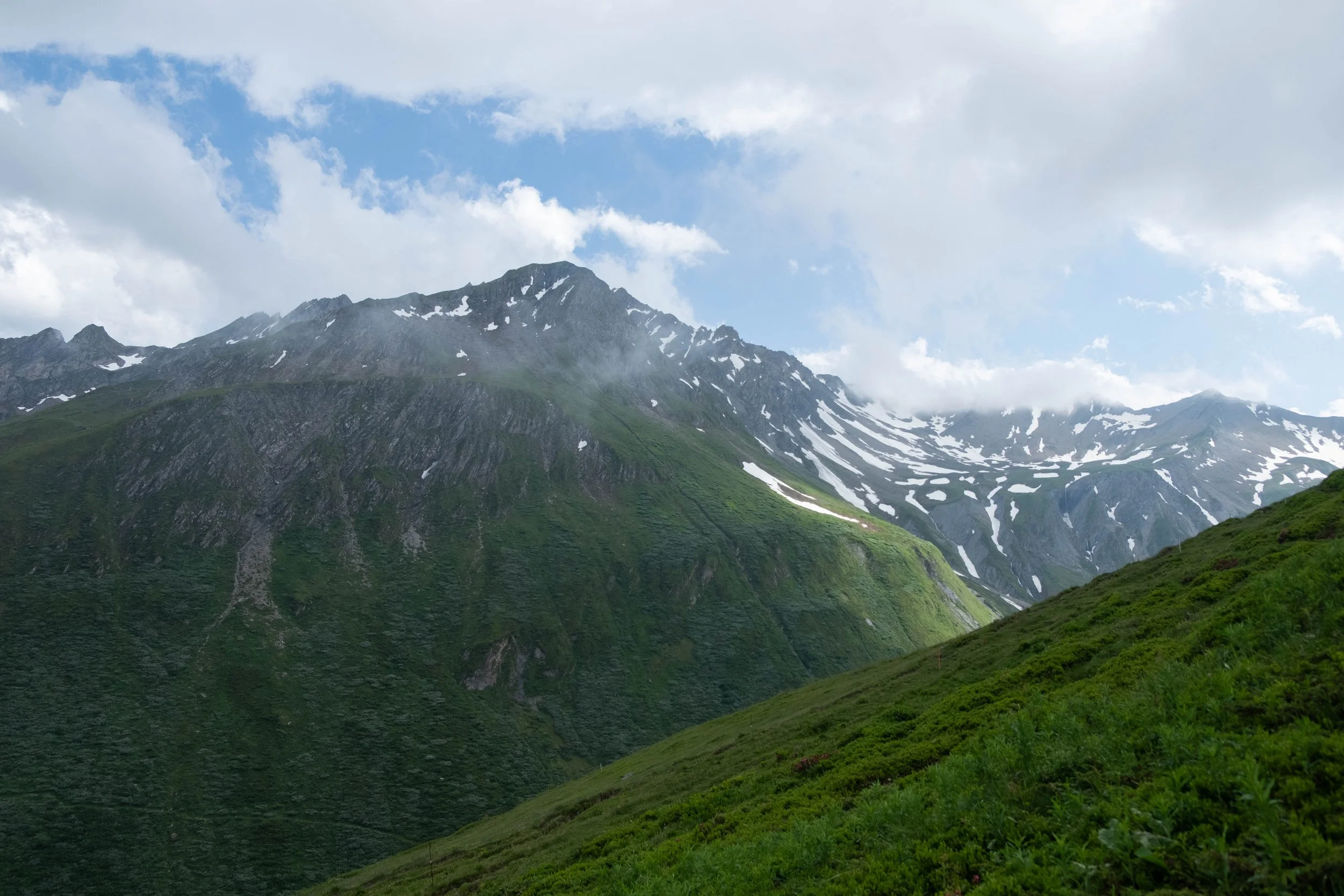
In addition to this, we ended up having incredibly bad luck with the weather. After one perfectly clear day where we all managed to get out on the boat to dive (one of which, unfortunately, was poorly planned and basically needed to be aborted by all the divers; the second of which was a shallow reef dive), winds coming from a big storm over the Pacific descended on La Paz. Turns out if the winds and currents are too strong, the Port of La Paz is closed to vessels the size of our diving boat. And close it did… for three days in a row. We tried to make the best of it by going to Pinchilingue Beach, a protected cove, for a couple days of shallow shore dives, but this was more akin to snorkeling than true scuba, although we did get the chance to hone our buoyancy during those days. This meant we didn’t get to see whale sharks and didn’t get to dive at the famous sea lion colony, which La Paz diving is best known for and was the only thing I truly wanted to see while in the area.
We toyed with trying to extend our trip for an extra day because of course, the winds were gone, the port opened, and all the other folks staying at the B&B left to dive off the boat the very morning we had to leave for the airport. In the end, that didn’t feel quite right and we left as scheduled on New Year’s Eve. All four of us felt our own mixture of frustration, sadness, and disappointment as the time wound down. While I wish we’d had spectacular weather, dives in all the places we’d envisioned going to, and no toothaches or migraines, the reality of life and travel is that much is out of your control. Sometimes not everything works out exactly as you hope for. Highlight reels too often present a veneer of effortlessness, perfection, and ease, glossing over the bad luck, mistakes, and disappointments. I think it’s important to include it all: The gorgeous, the painful, the mundane.
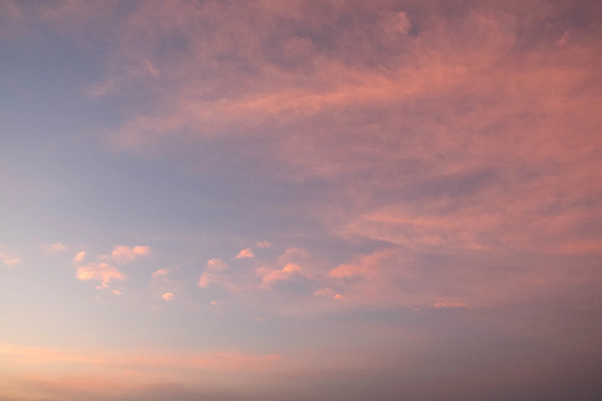
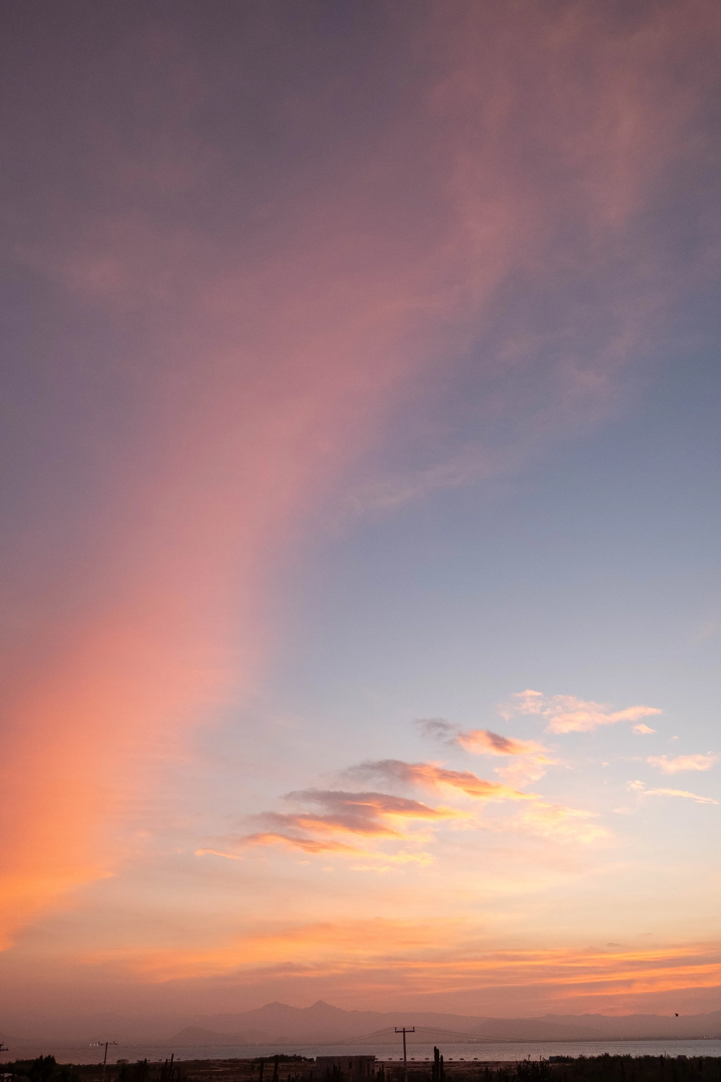
And so. Despite having a few more lows than hoped for when we first envisioned and planned this trip, there are a lot of things that I will look back on fondly from this experience. Incredible sunrises over the bay. Traveling with family who share our love of the ocean, adventure, good food, and different cultures. That sweet octopus and the beautiful reefs and the way the sunlight filtered down and danced across to the white sandy ocean floor at Playa Balandra.
Maybe one day we’ll be back to (hopefully) see the sea lions pups, whale sharks, and mobula rays. Maybe not. No matter what, I’ll hold La Paz with a mixture of ruefulness and gratitude, thankful for what it was and learning to accept what it wasn’t. ¡Hasta la próxima!


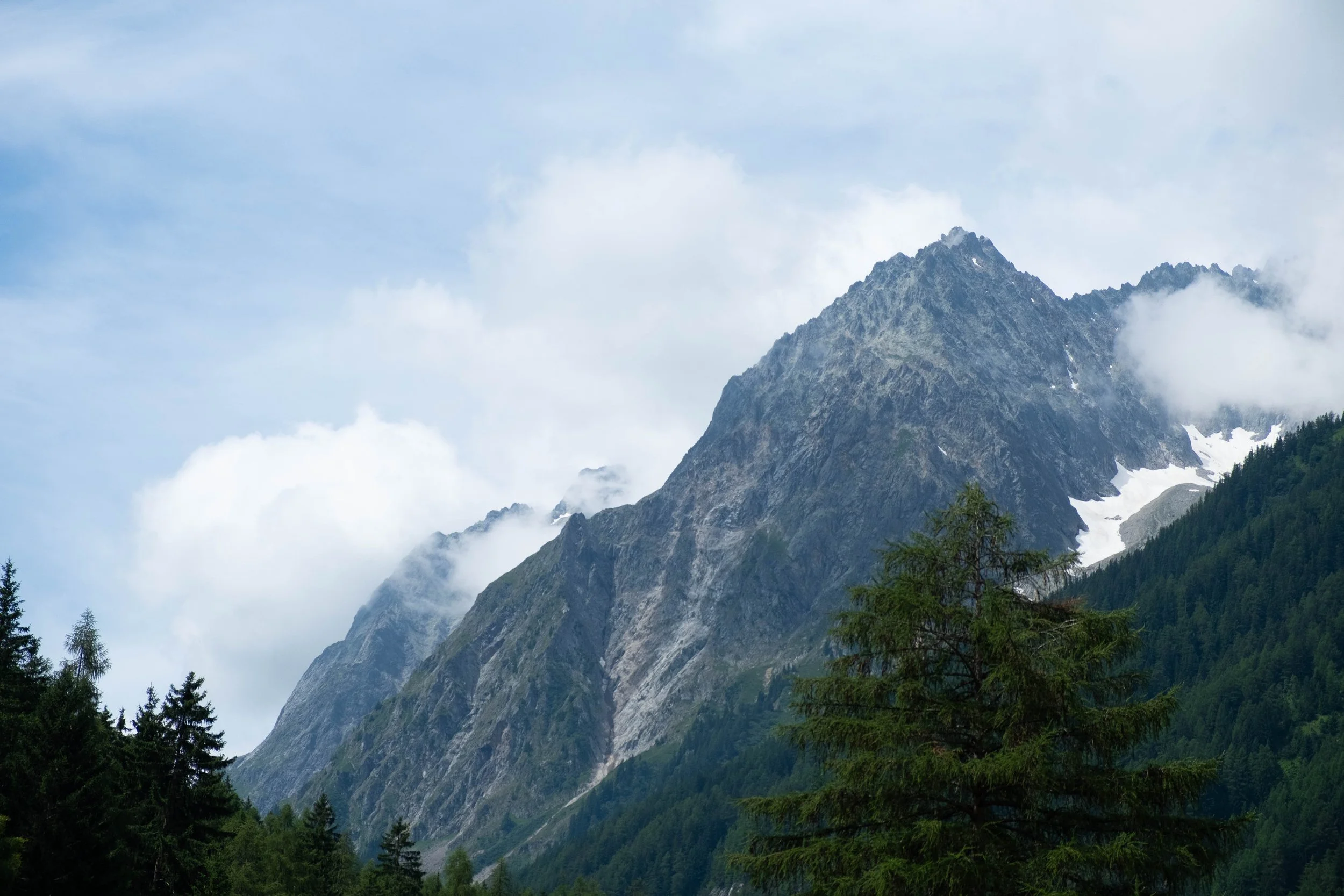
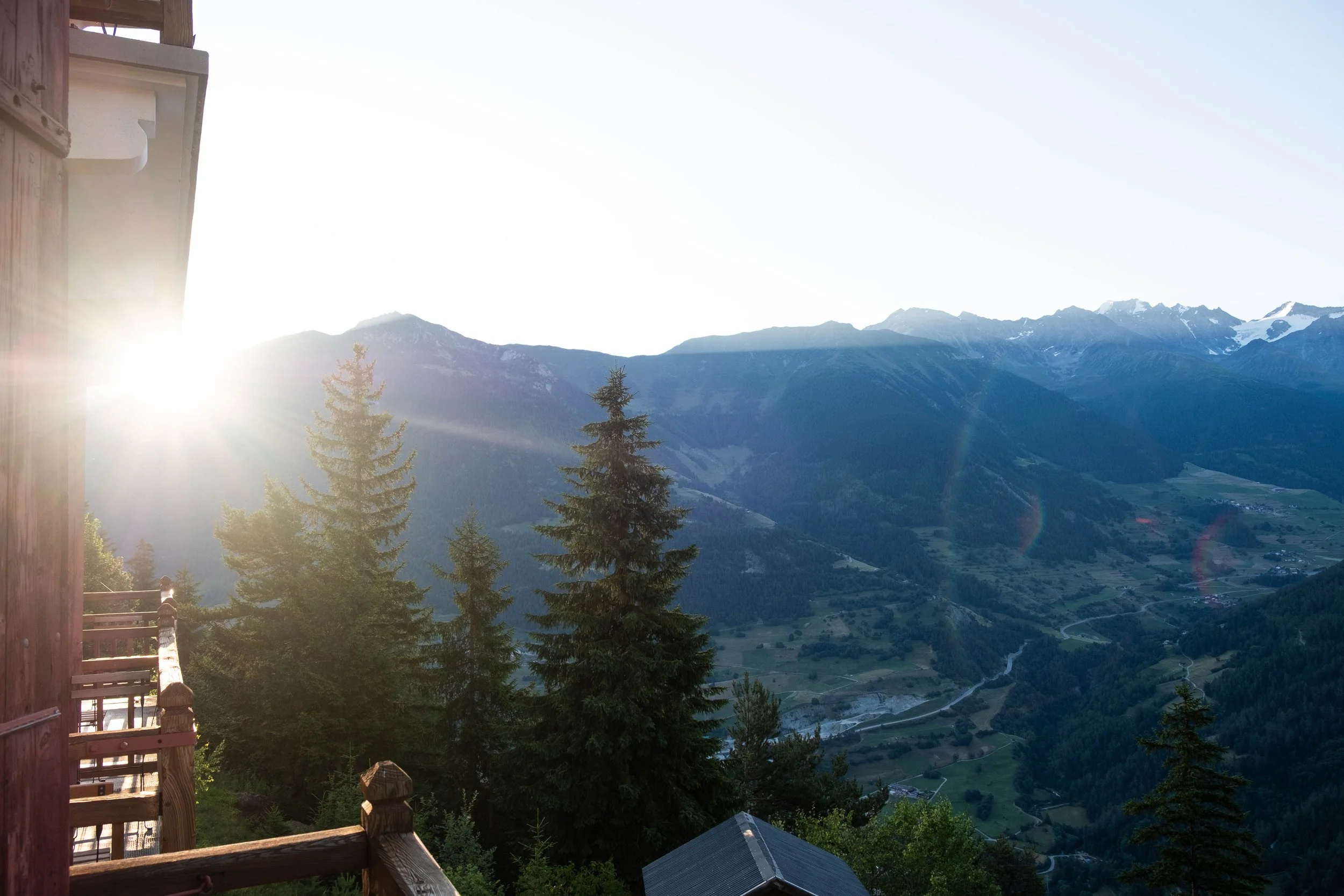
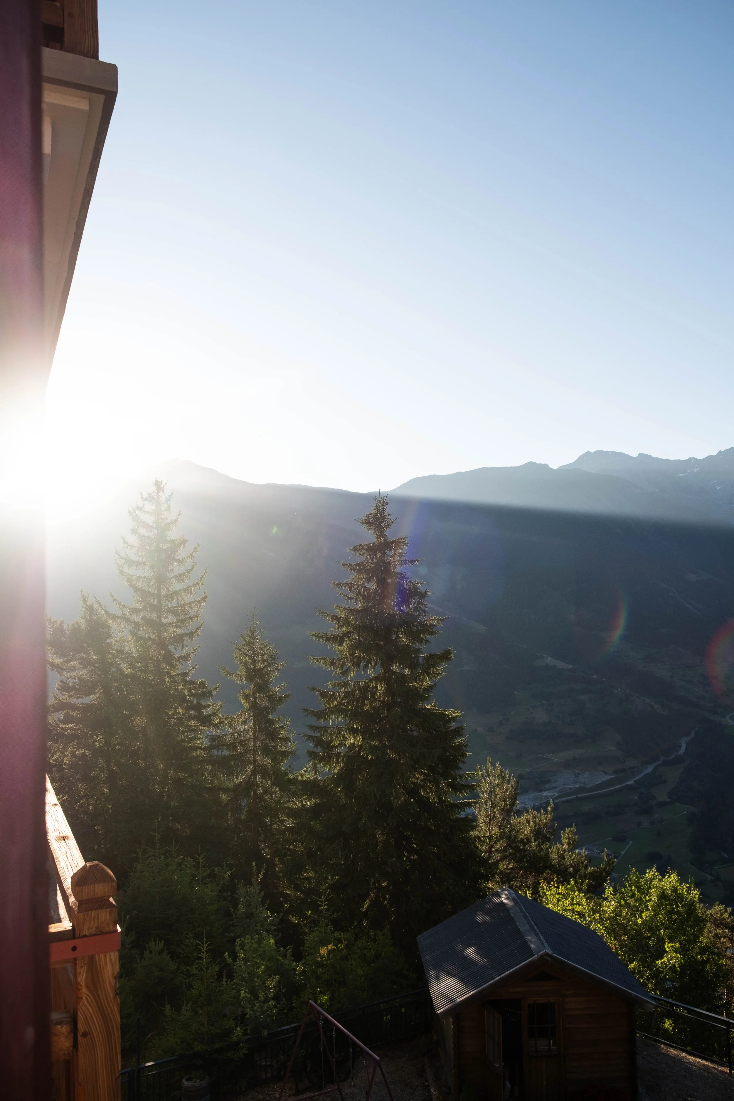
France, Italy & Switzerland
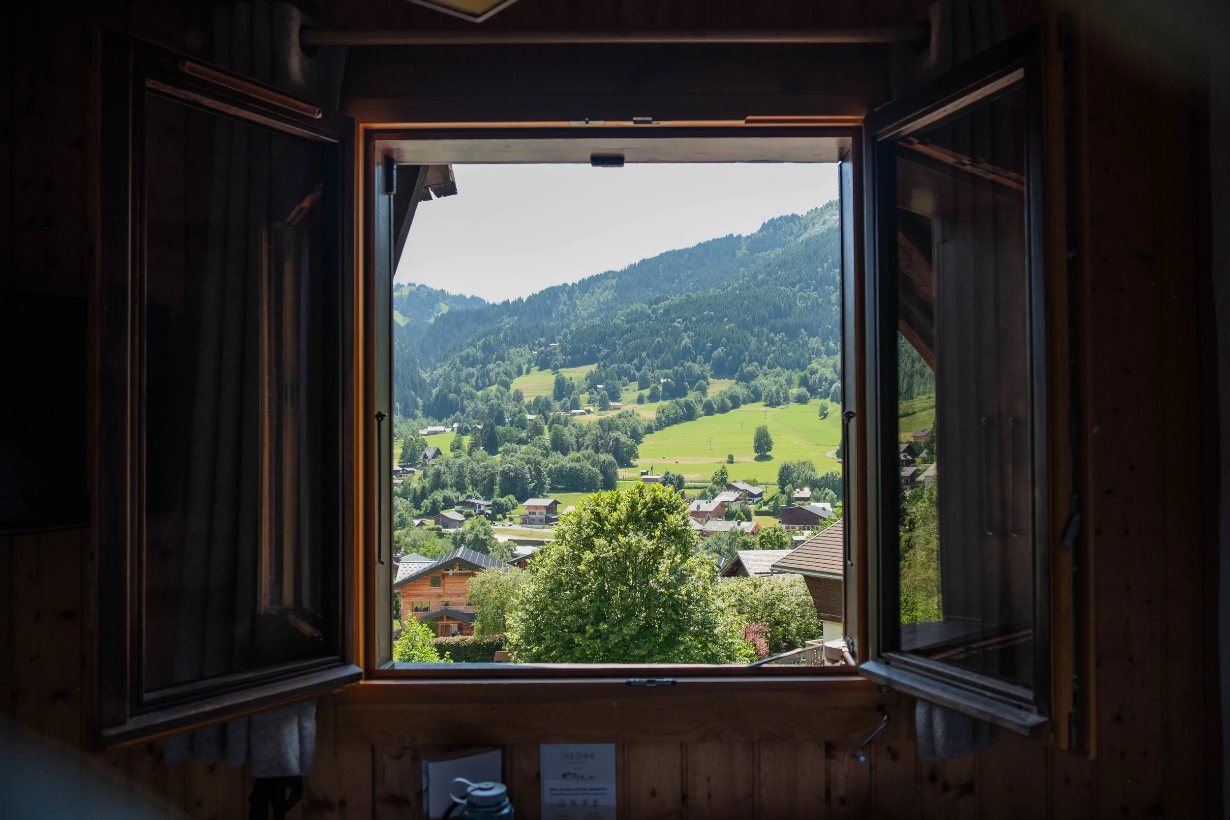
Tour du Mont Blanc, Lyon & Nice
Tour du Mont Blanc | June 2025
Day 1: Chamonix to Les Contamines | Hotel Gai Soleil, France
Distance: 7.2 miles | Ascent/Descent: +2,205 ft/-4,015 ft
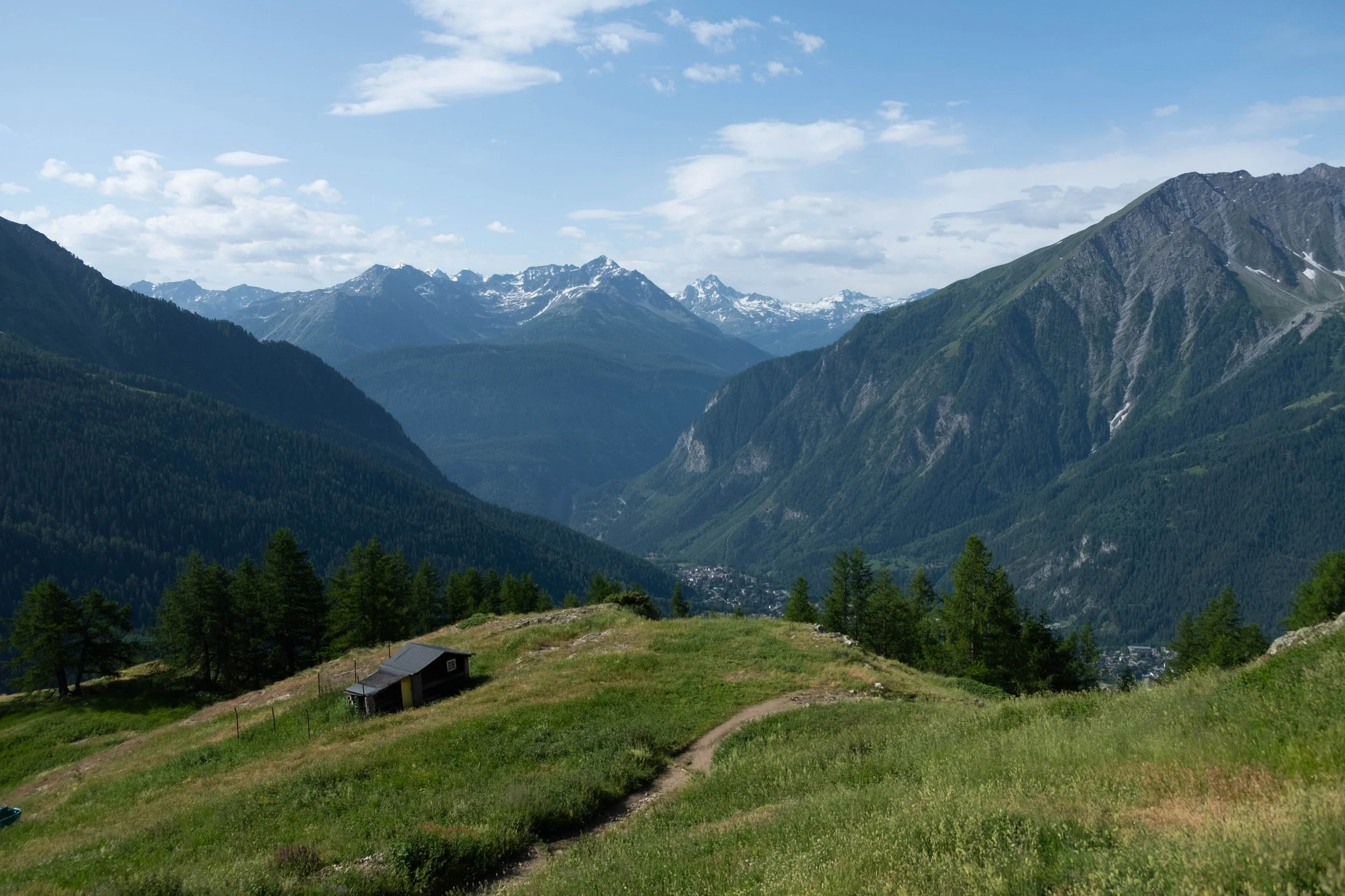
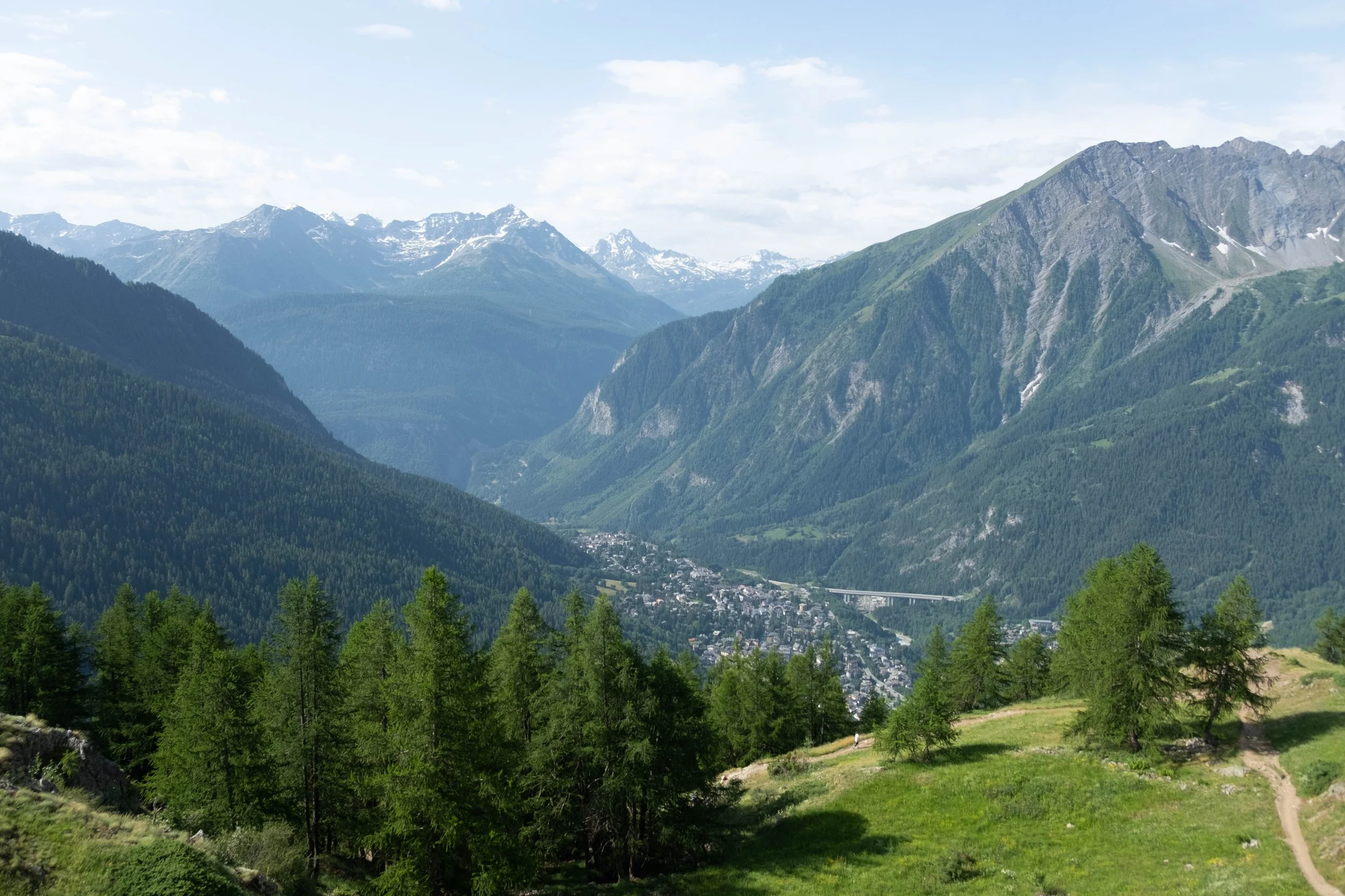
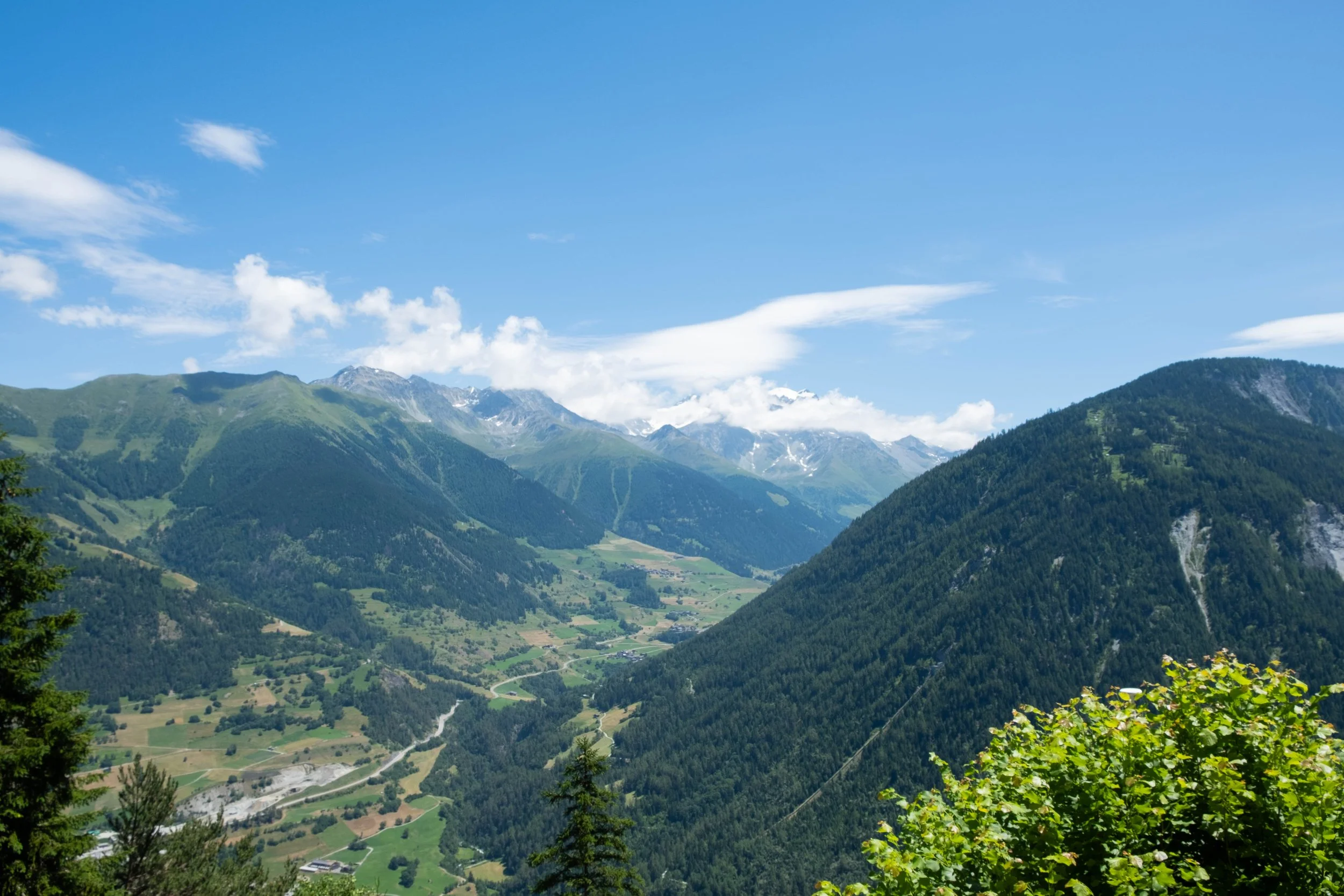
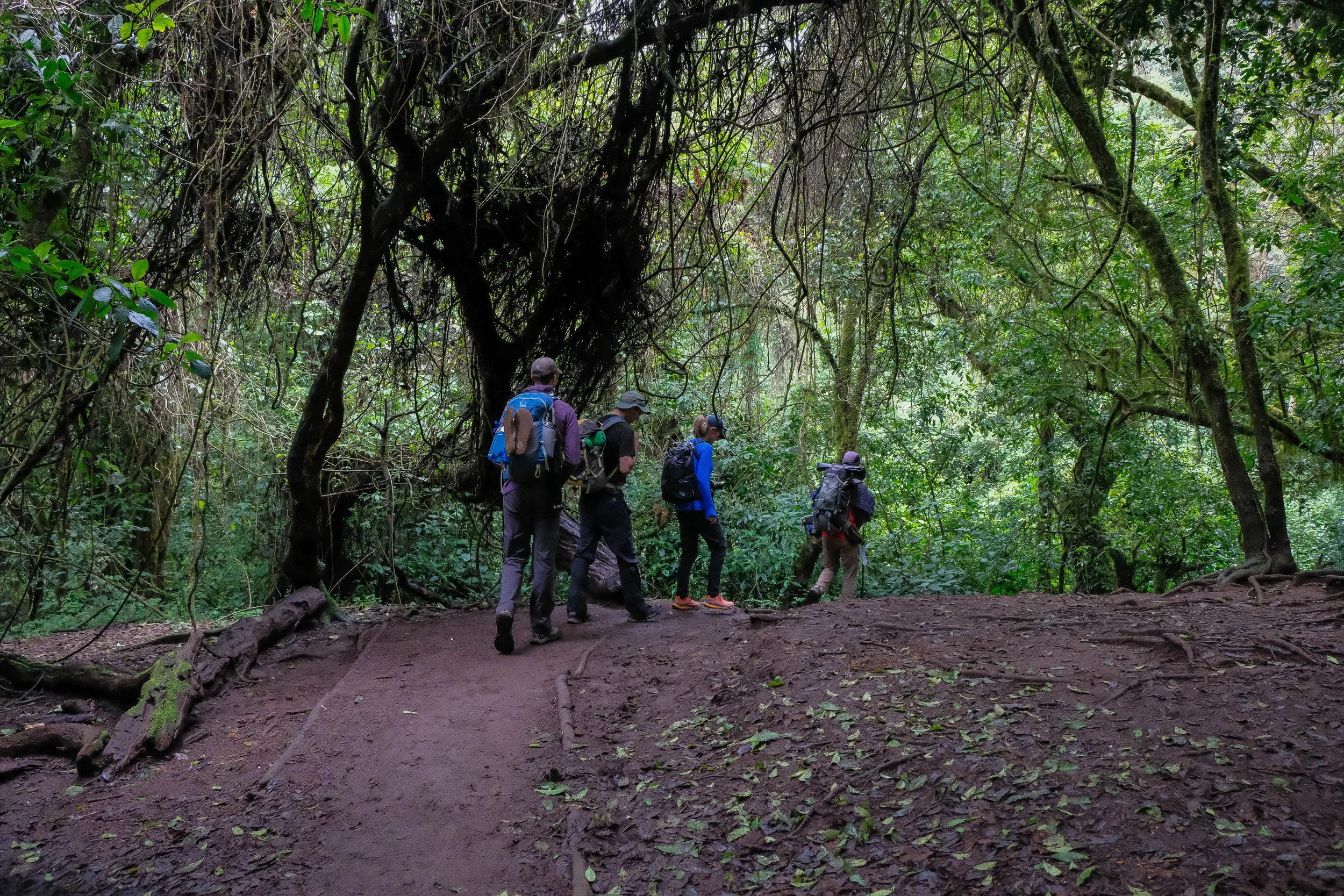
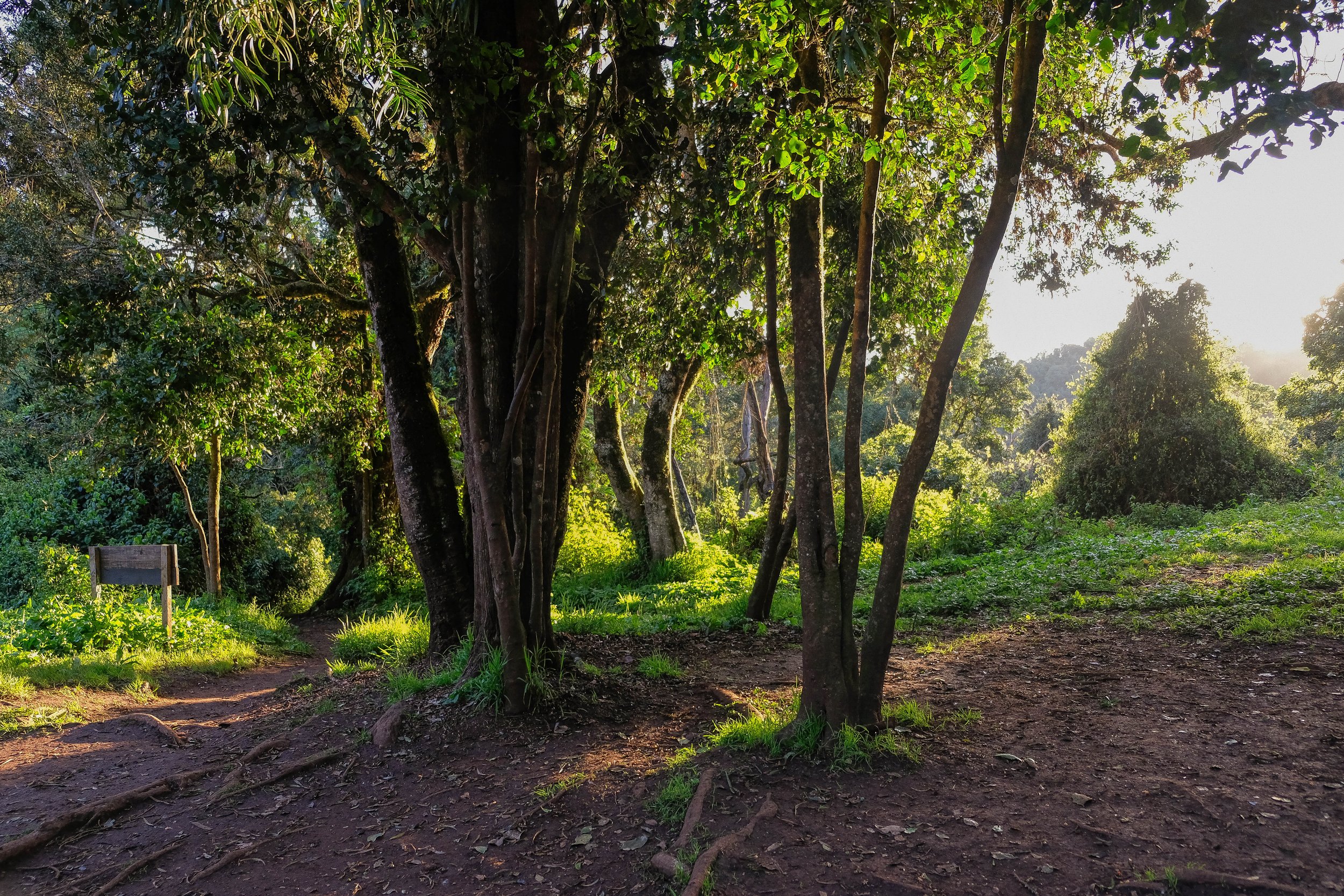
First day of the tour! We woke early, dropped off our extra luggage at the hotel we’d return to in 10 days, and sipped silky cortados before perusing the local farmer’s market on our way to the train station. Our awe over the beauty of the market and fresh produce led us to miss our train by exactly 5 seconds, something we jokingly-not-jokingly said we hoped wasn’t a bad omen for logistics on the rest of the trip. Our consequence was an hour-long delay, but we were still to Les Houches and up the Bellevue cable car to the start of our trail by 10am.
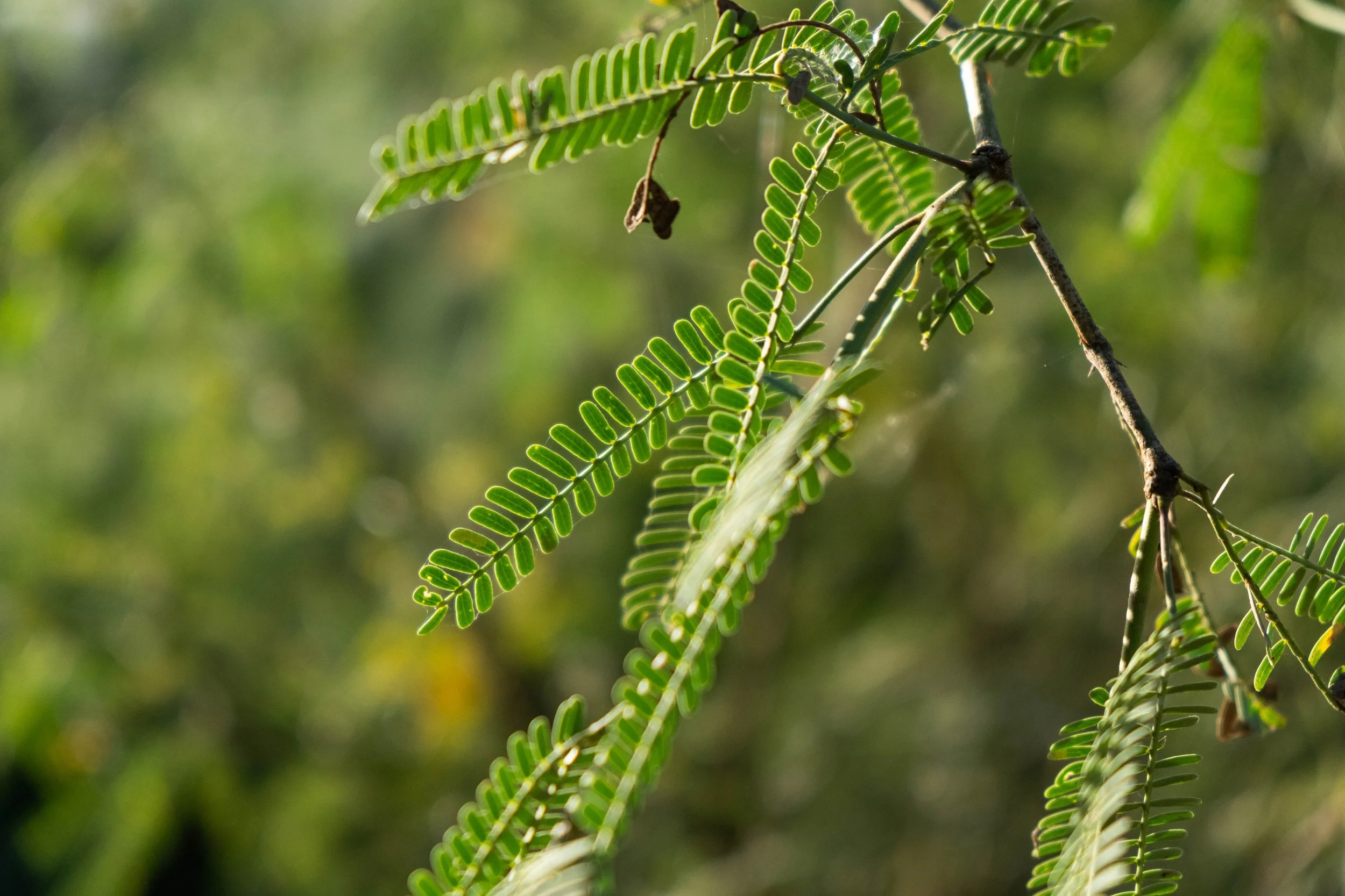
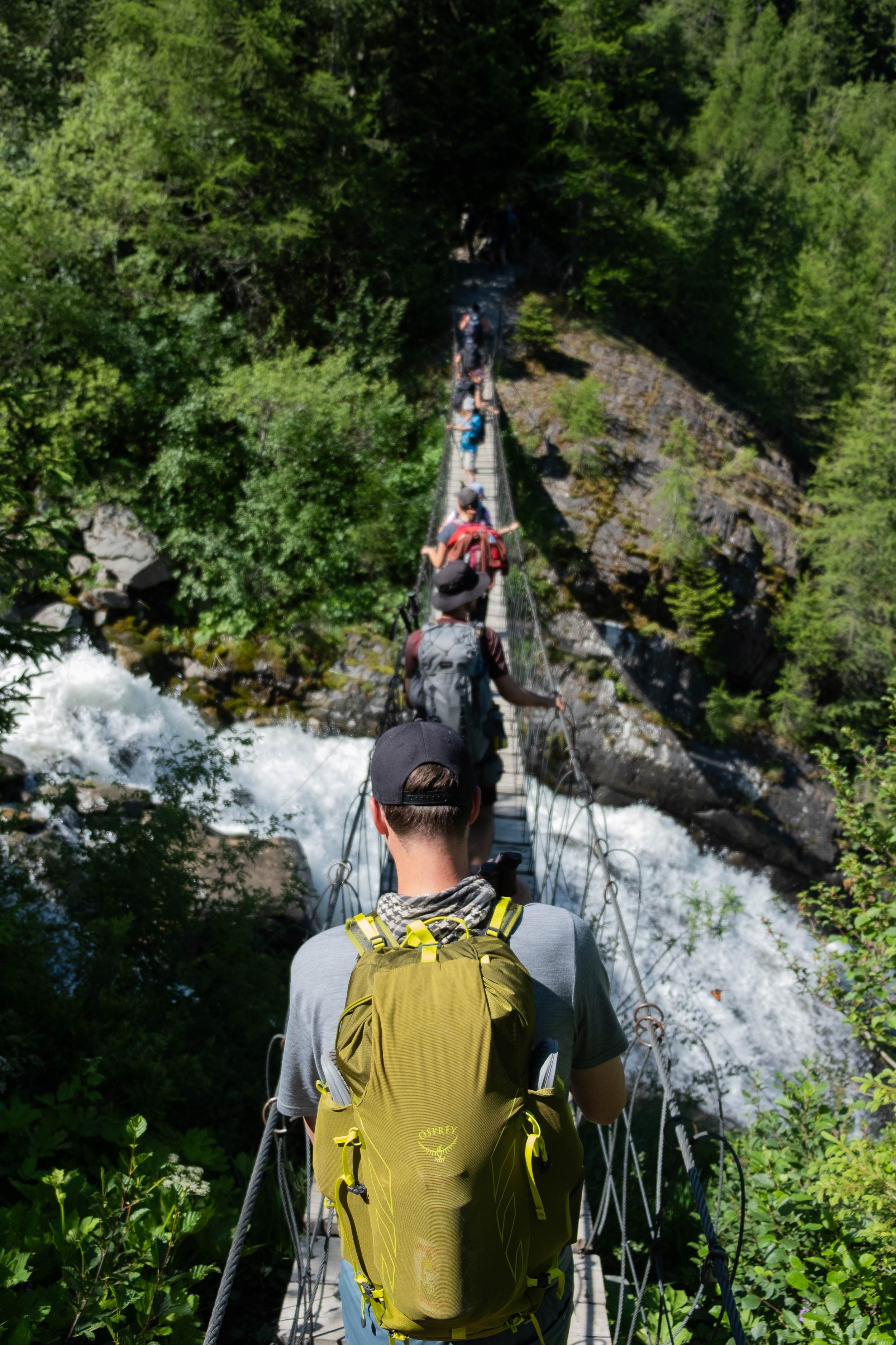
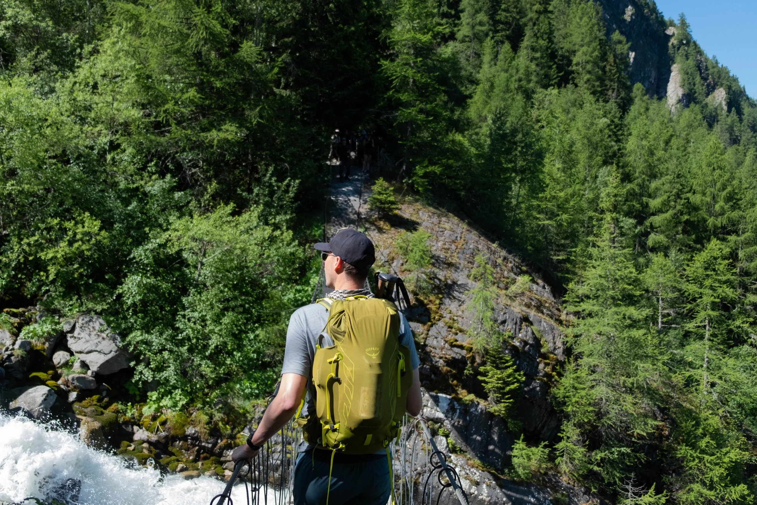
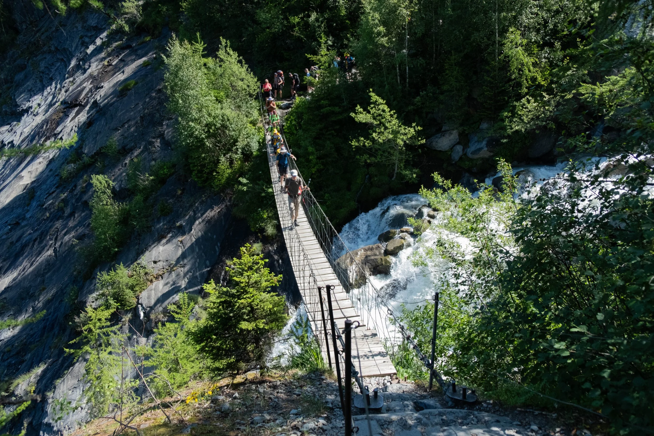
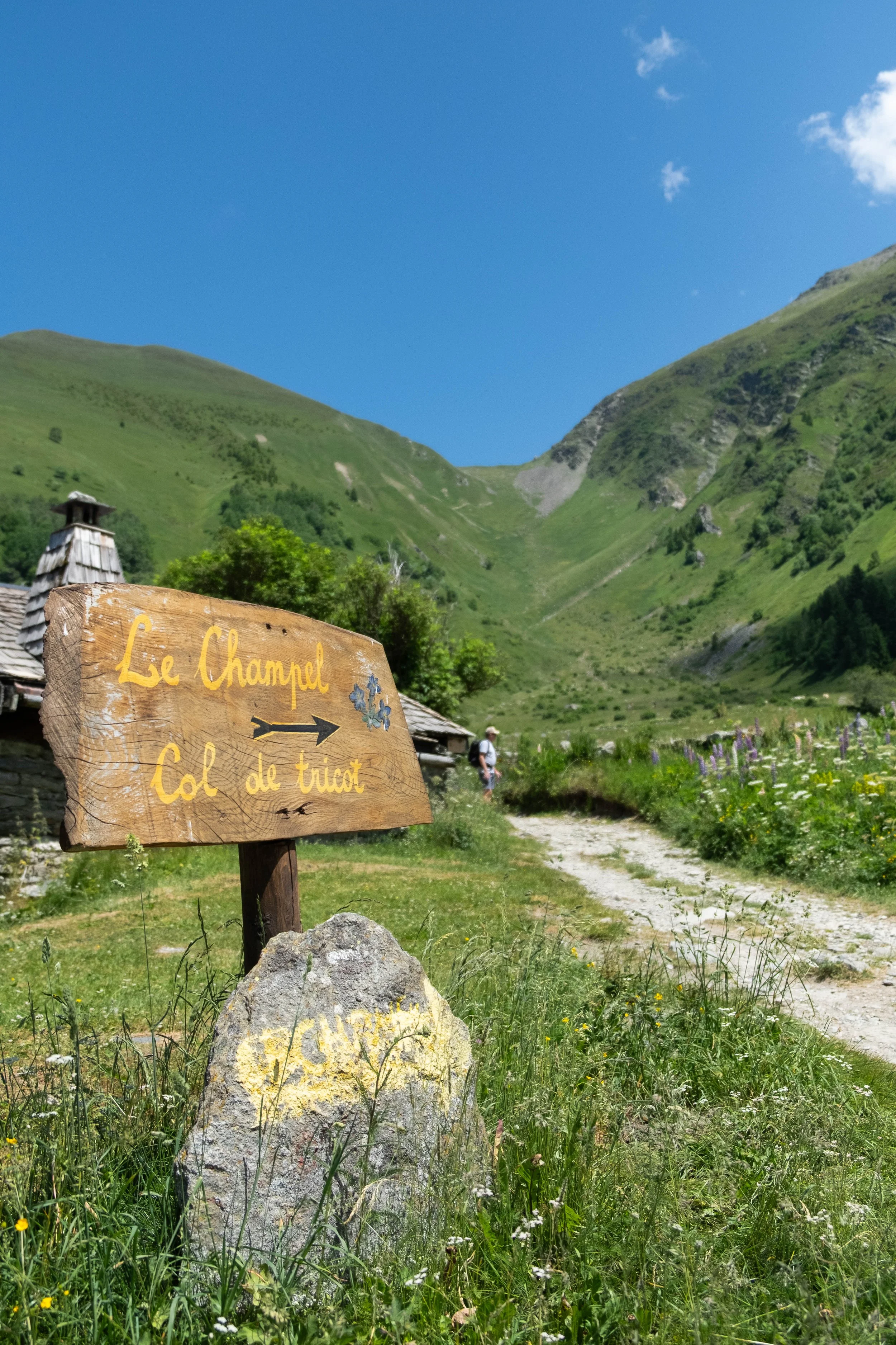
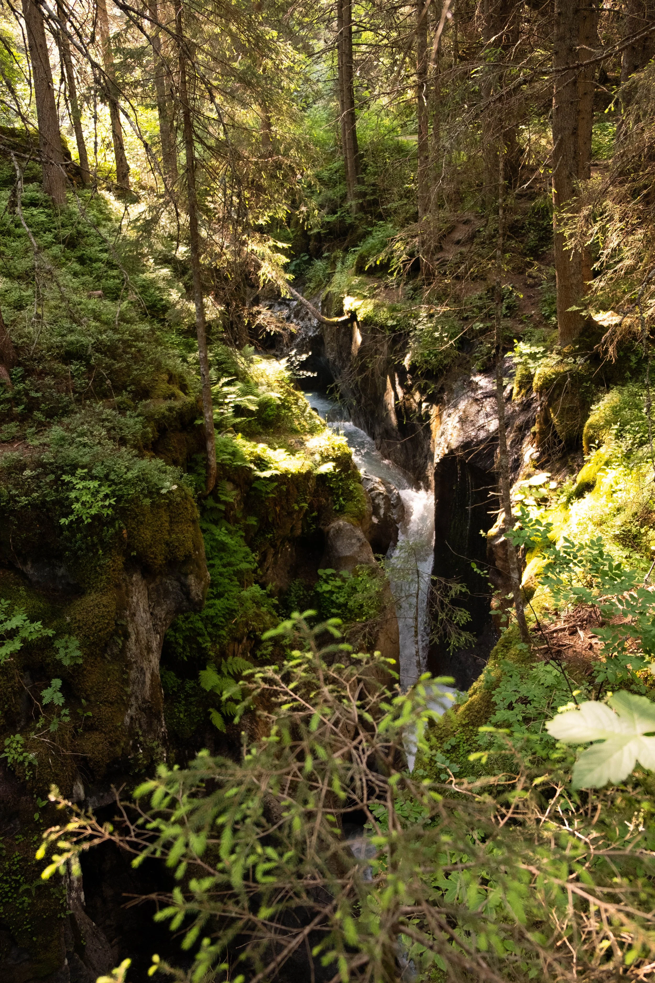
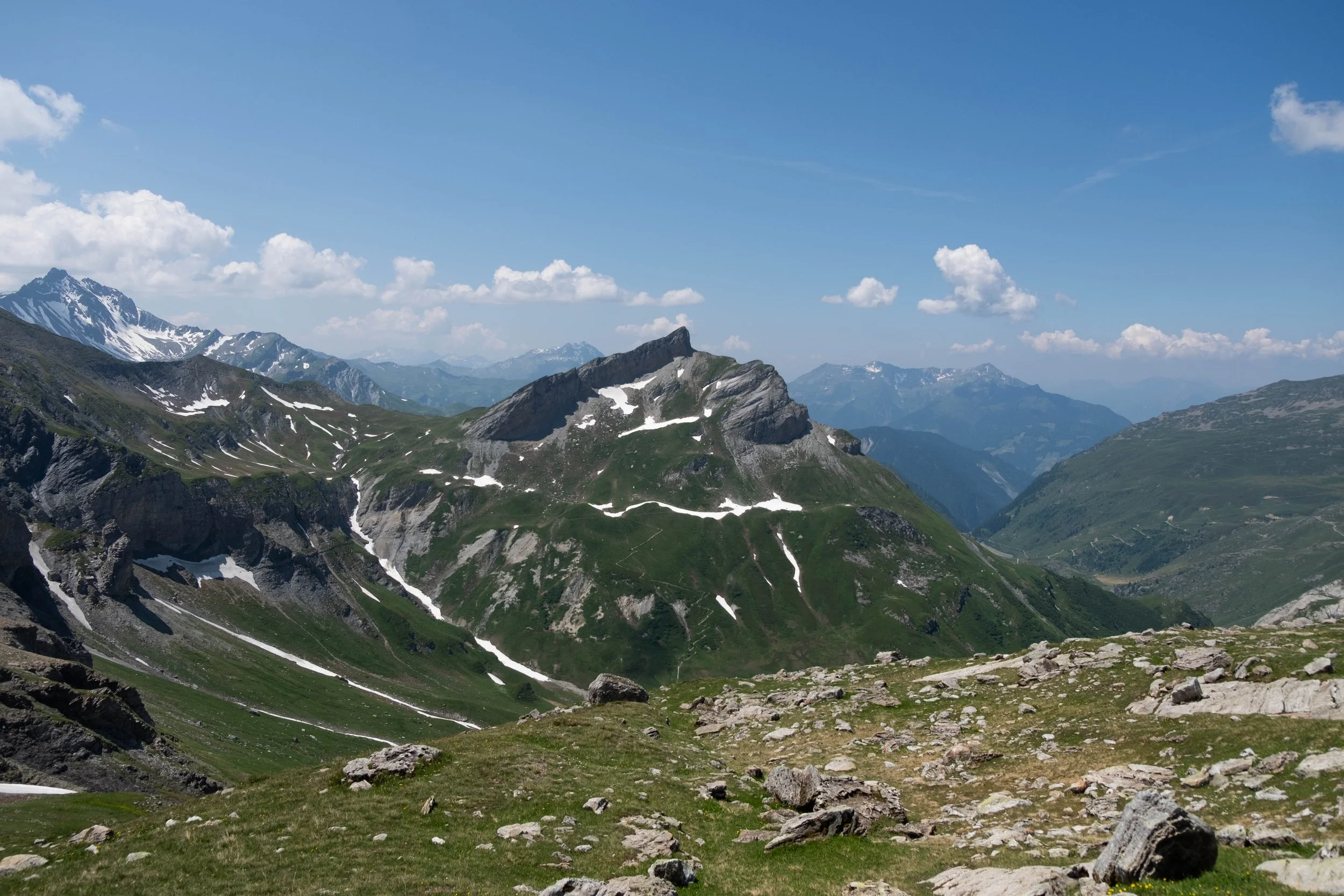
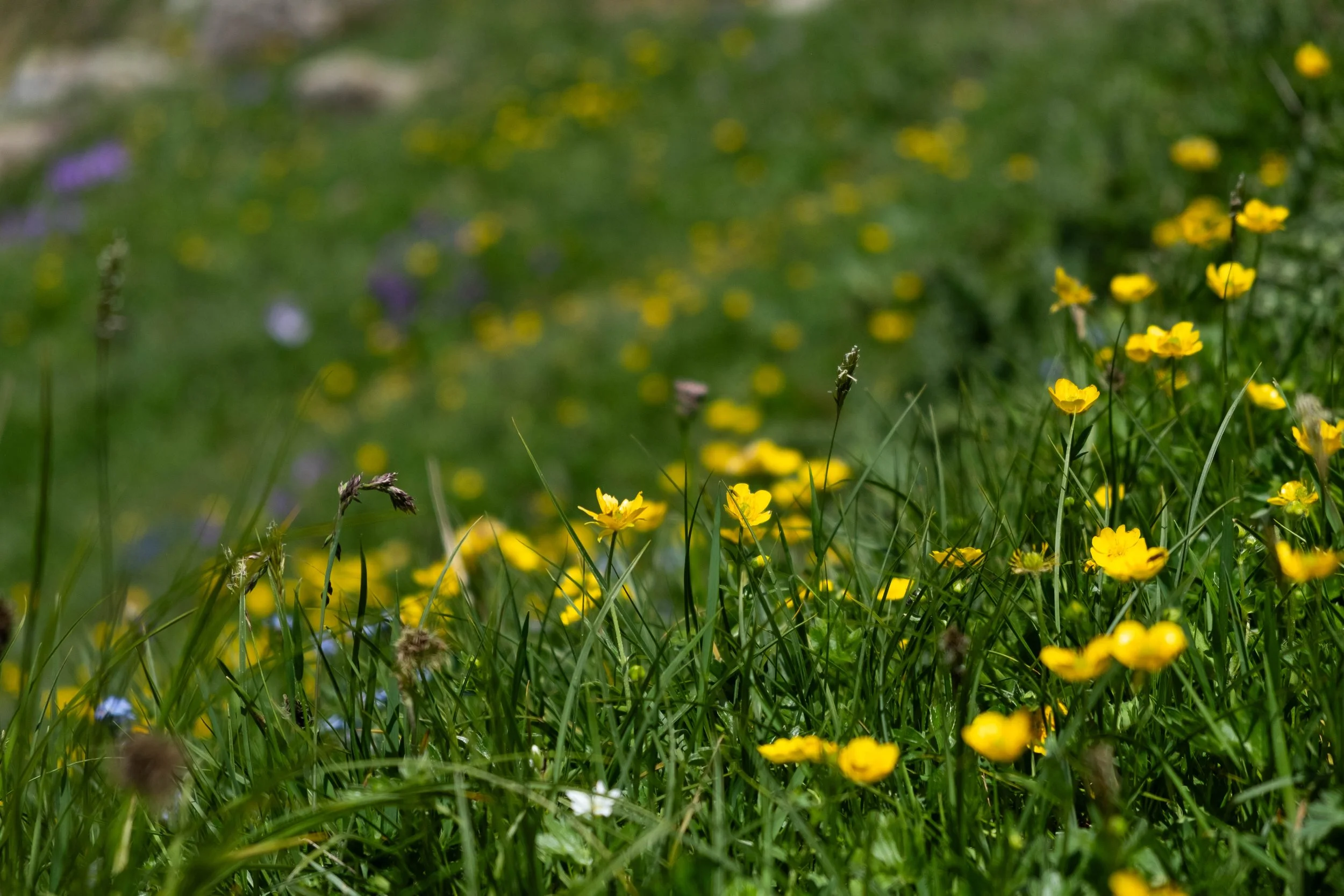
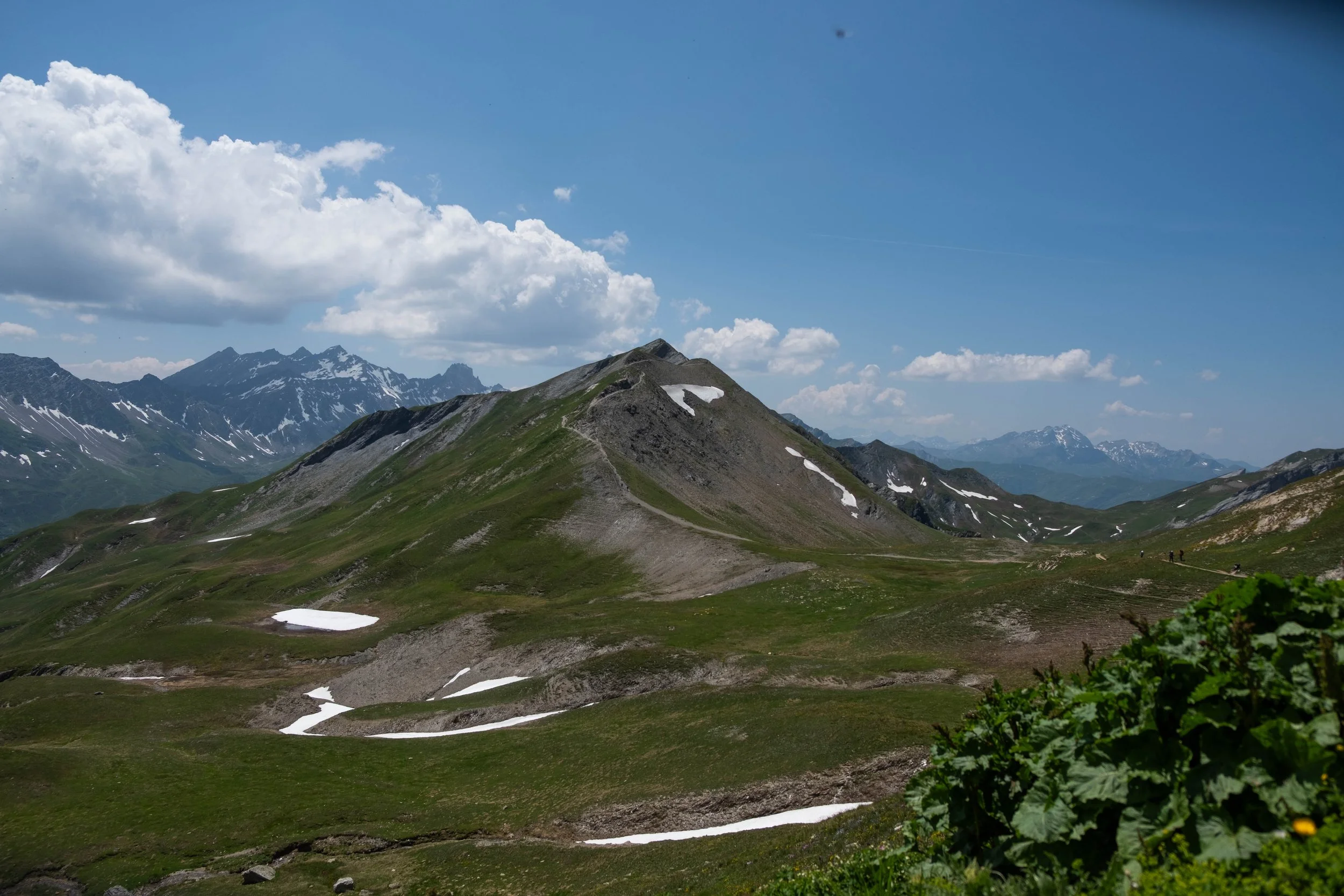
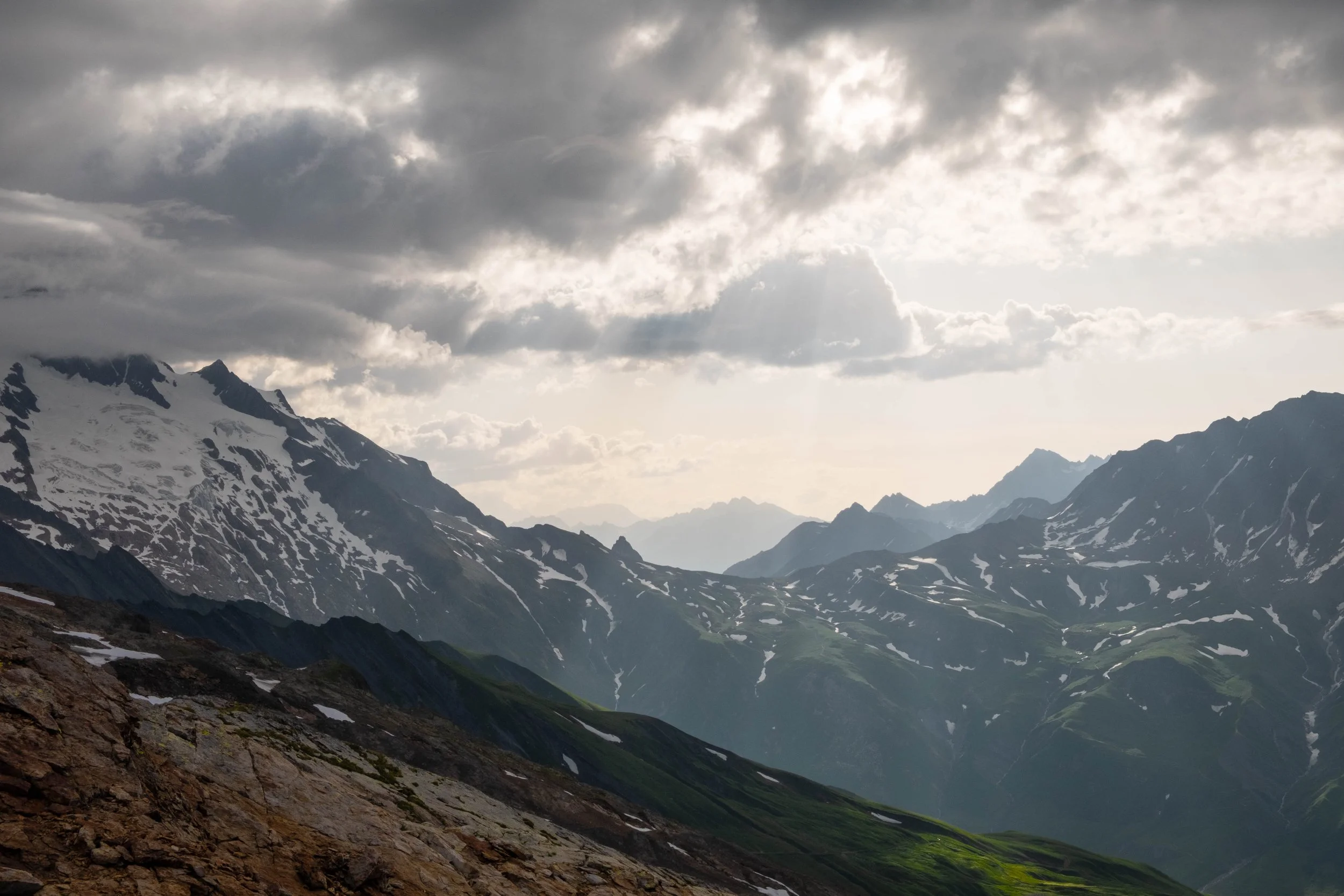
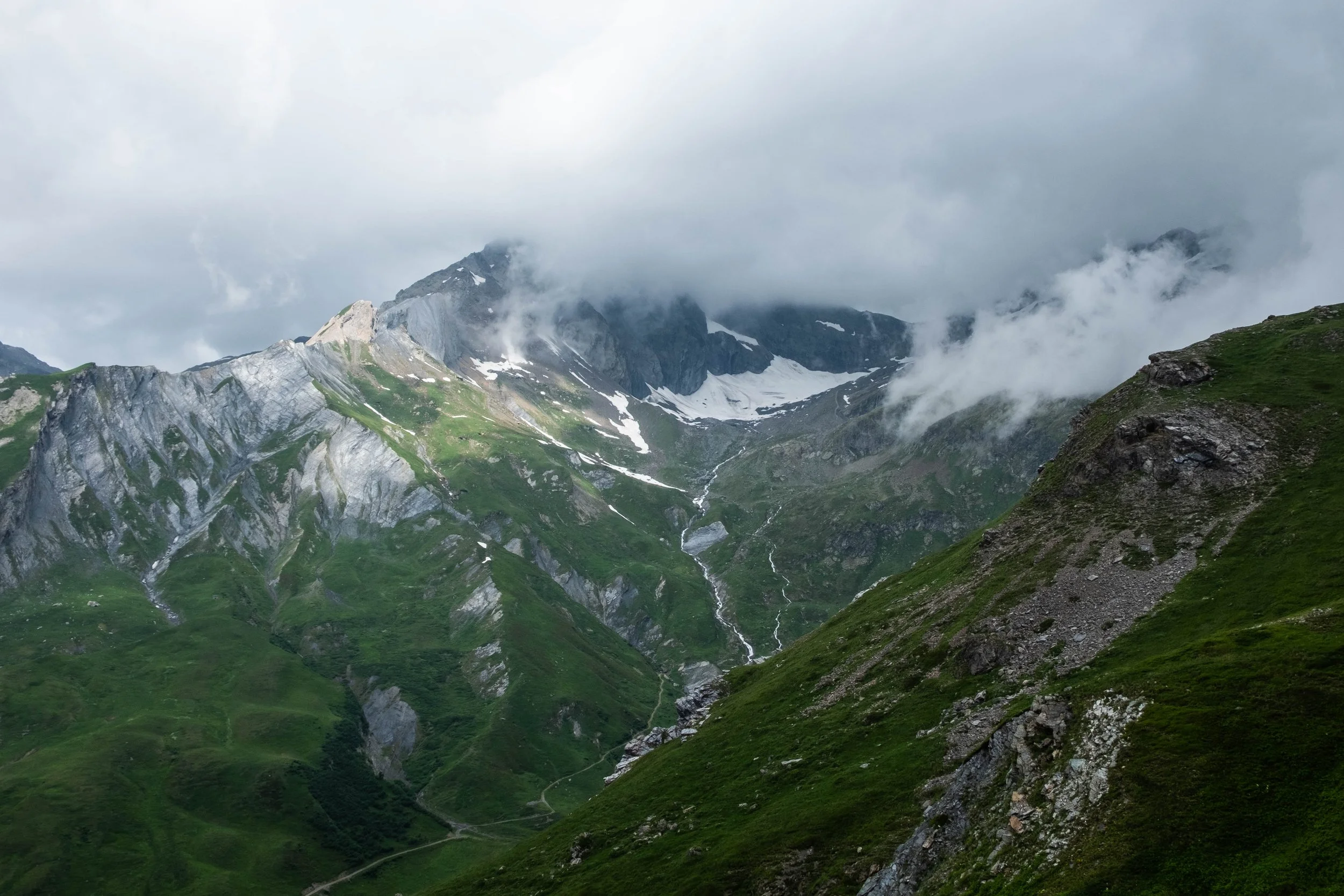
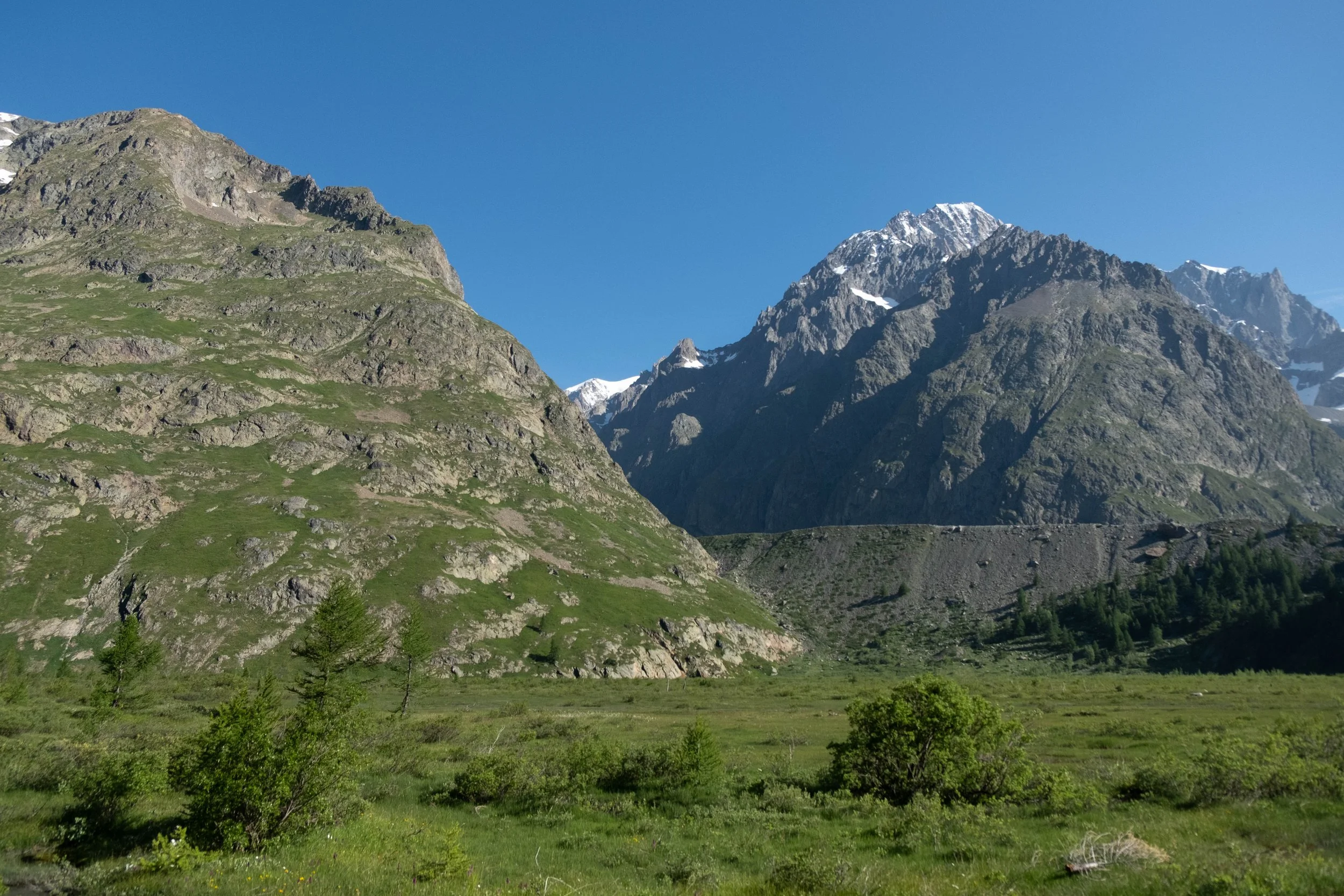
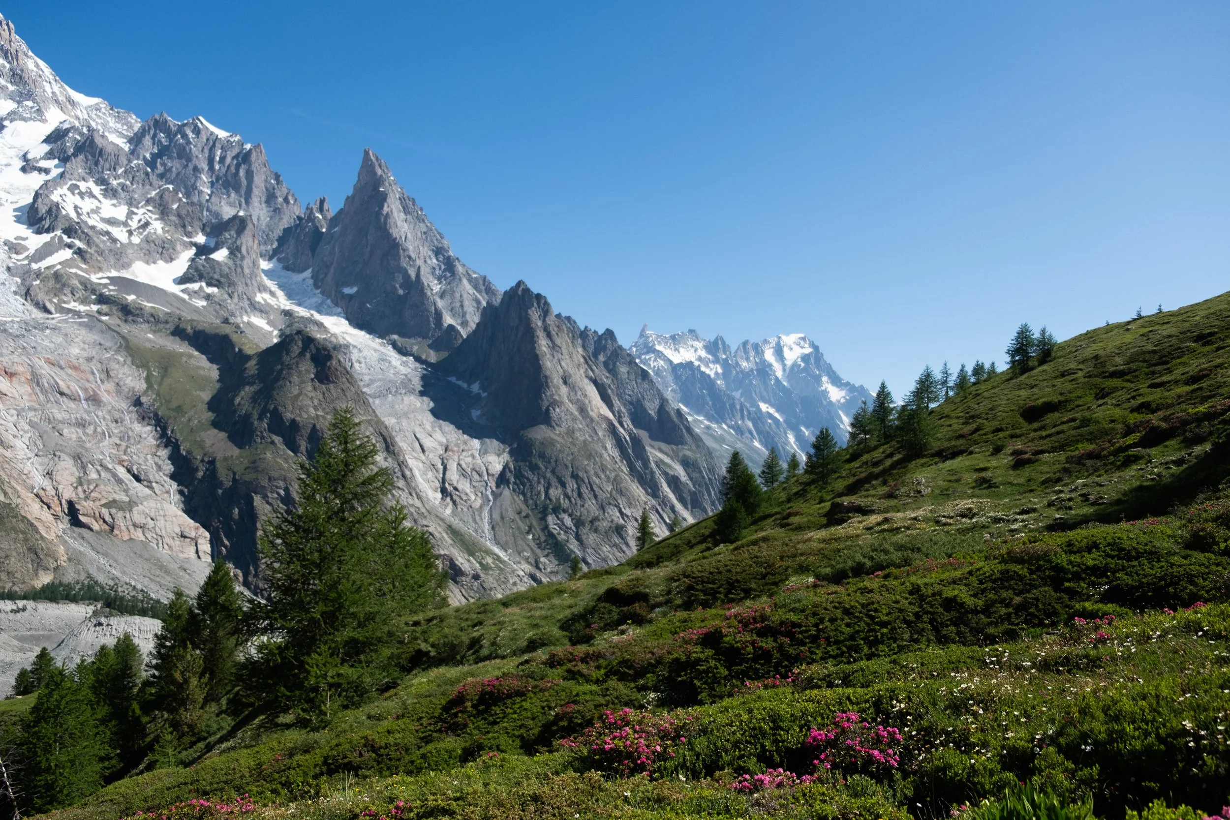
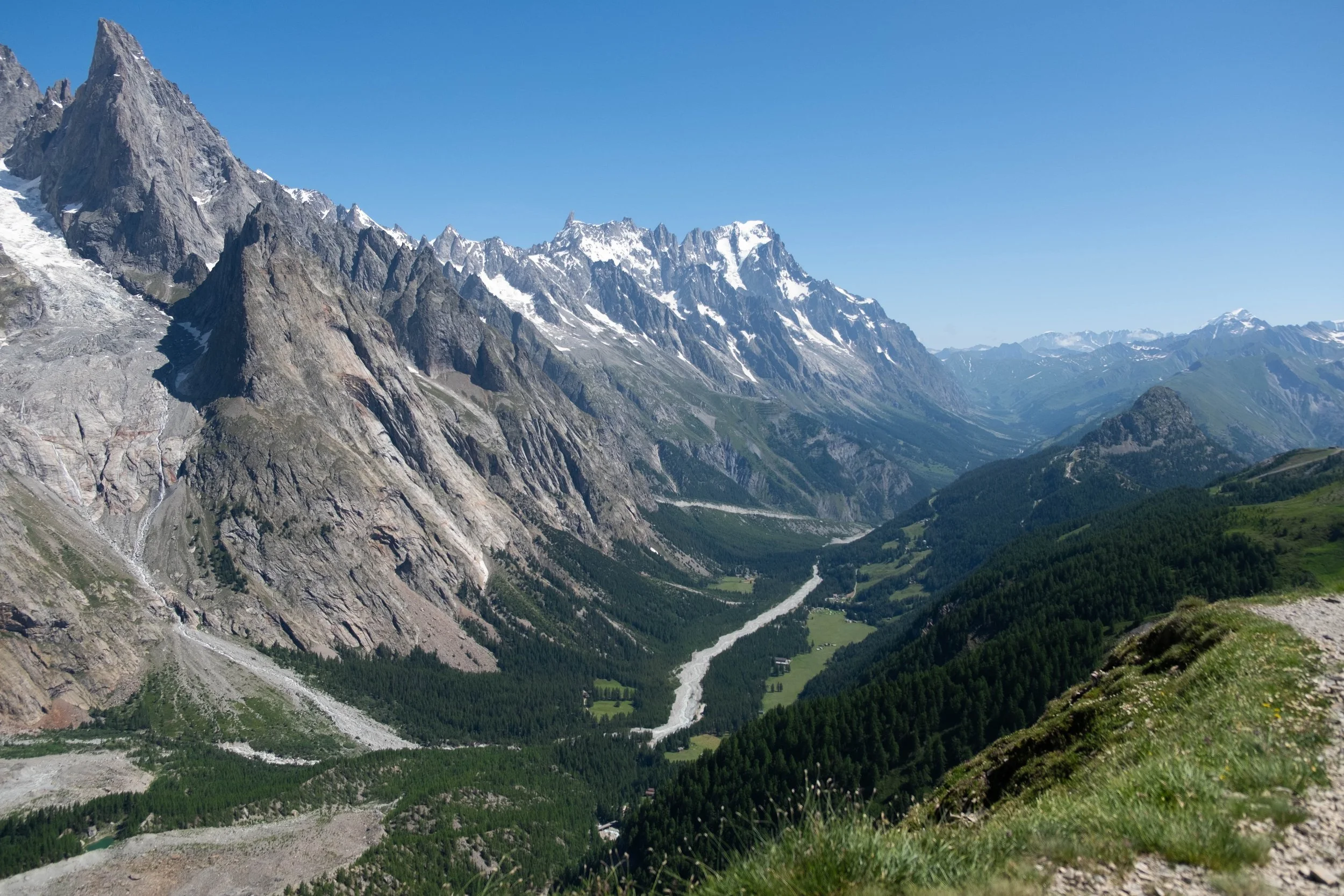
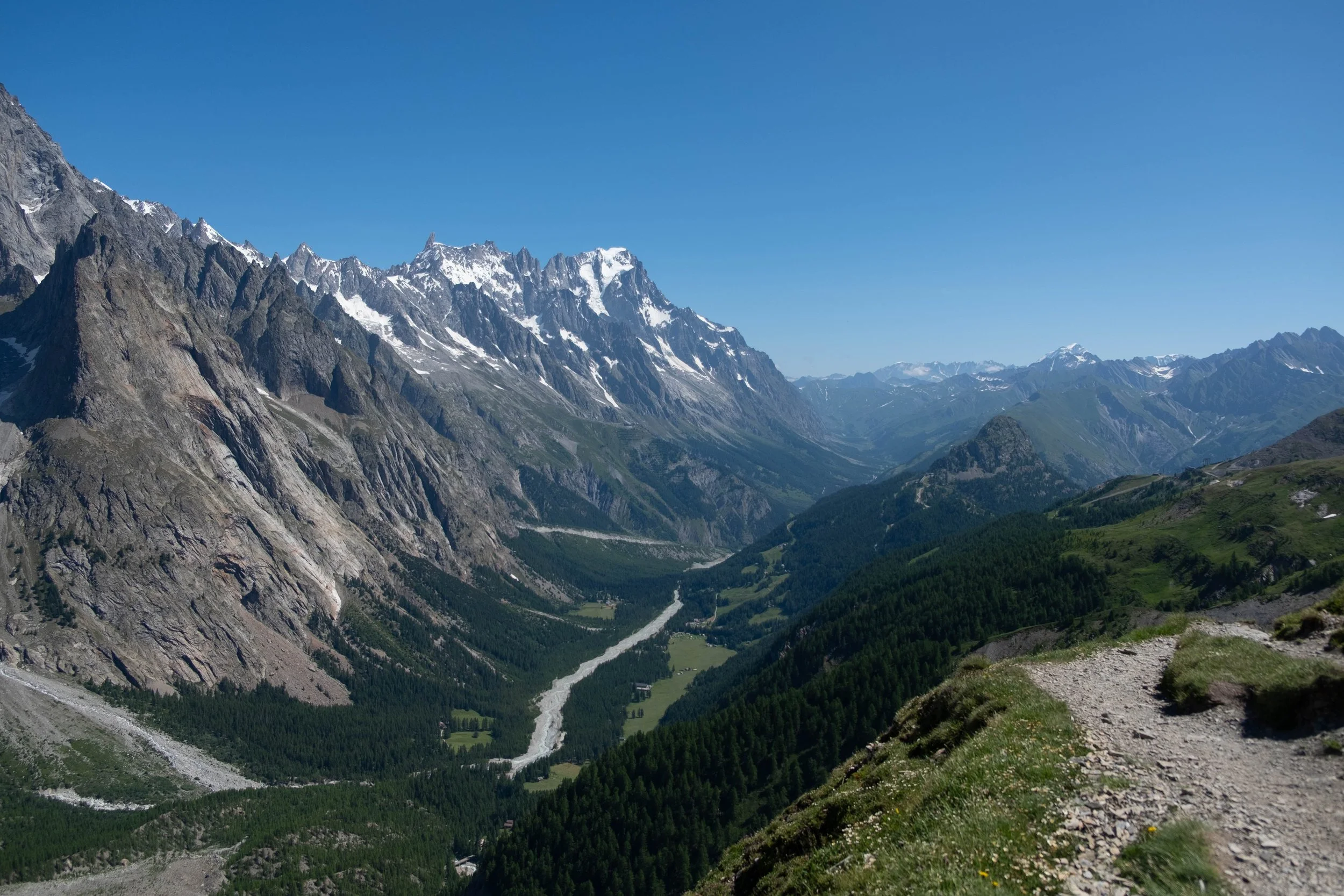
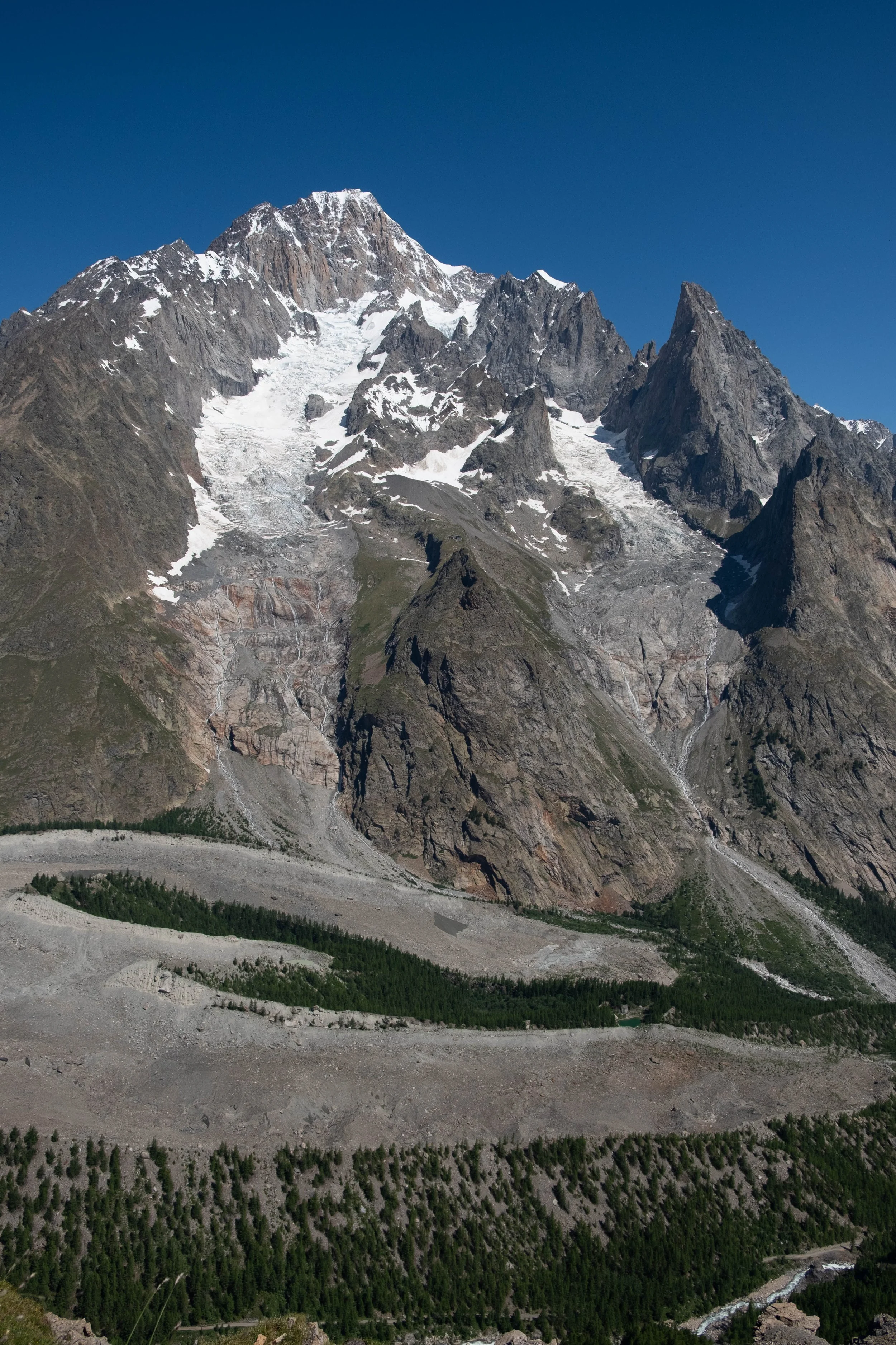
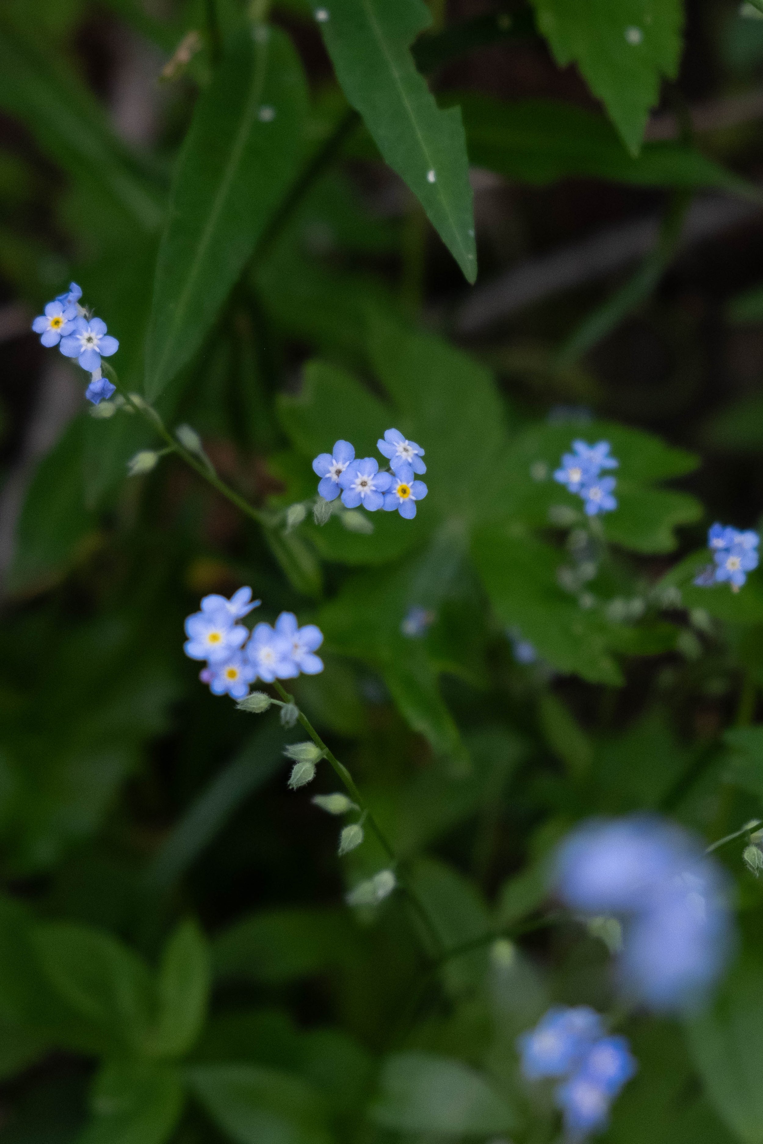
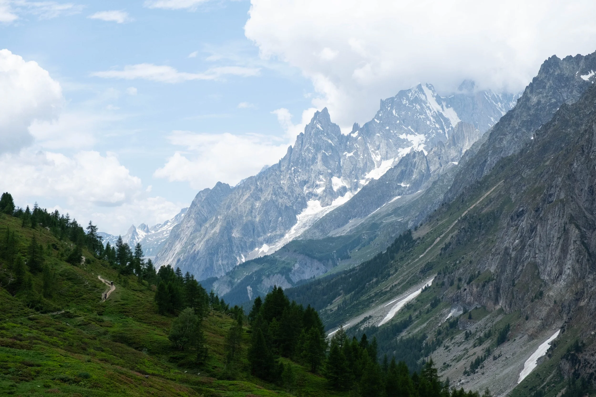
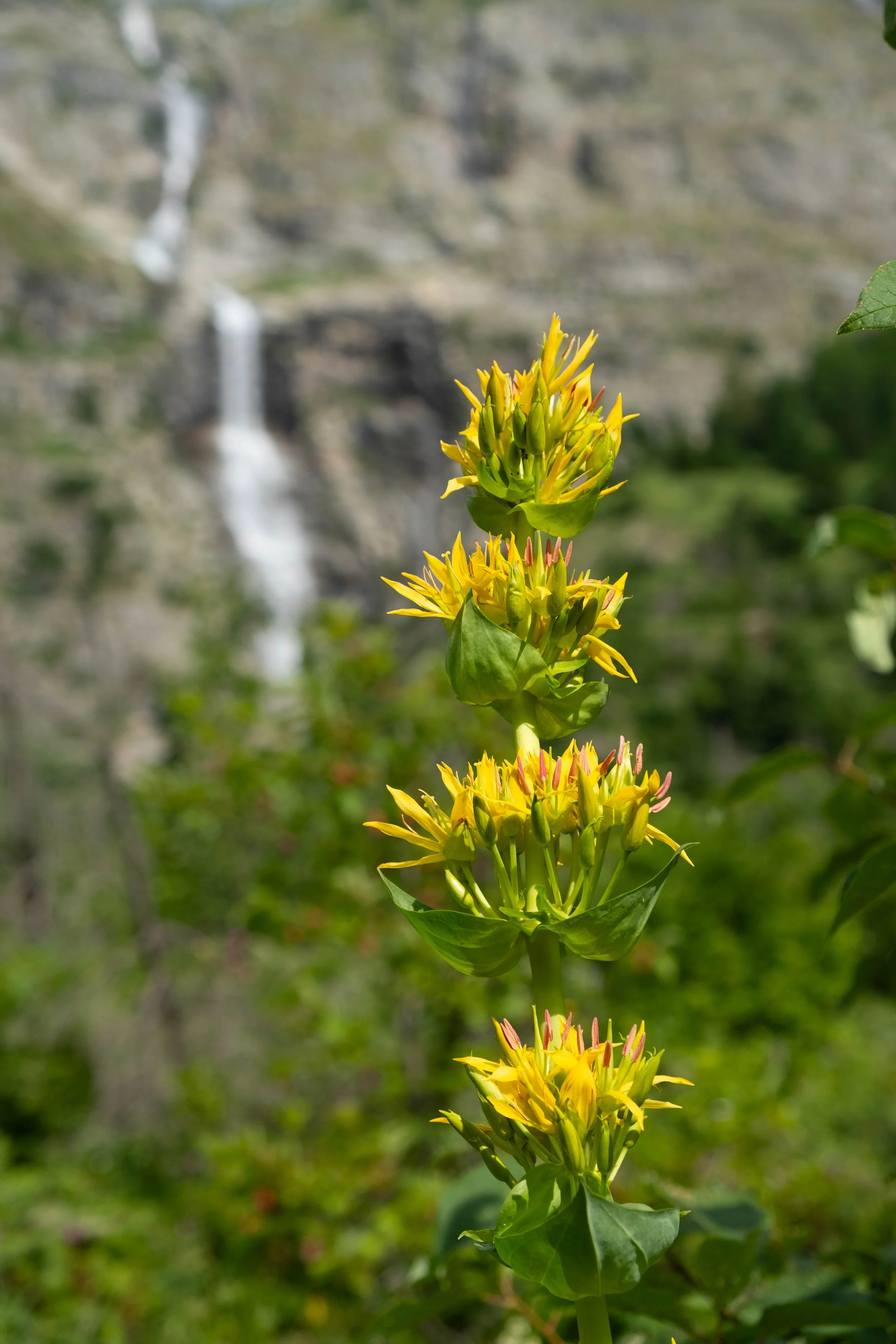
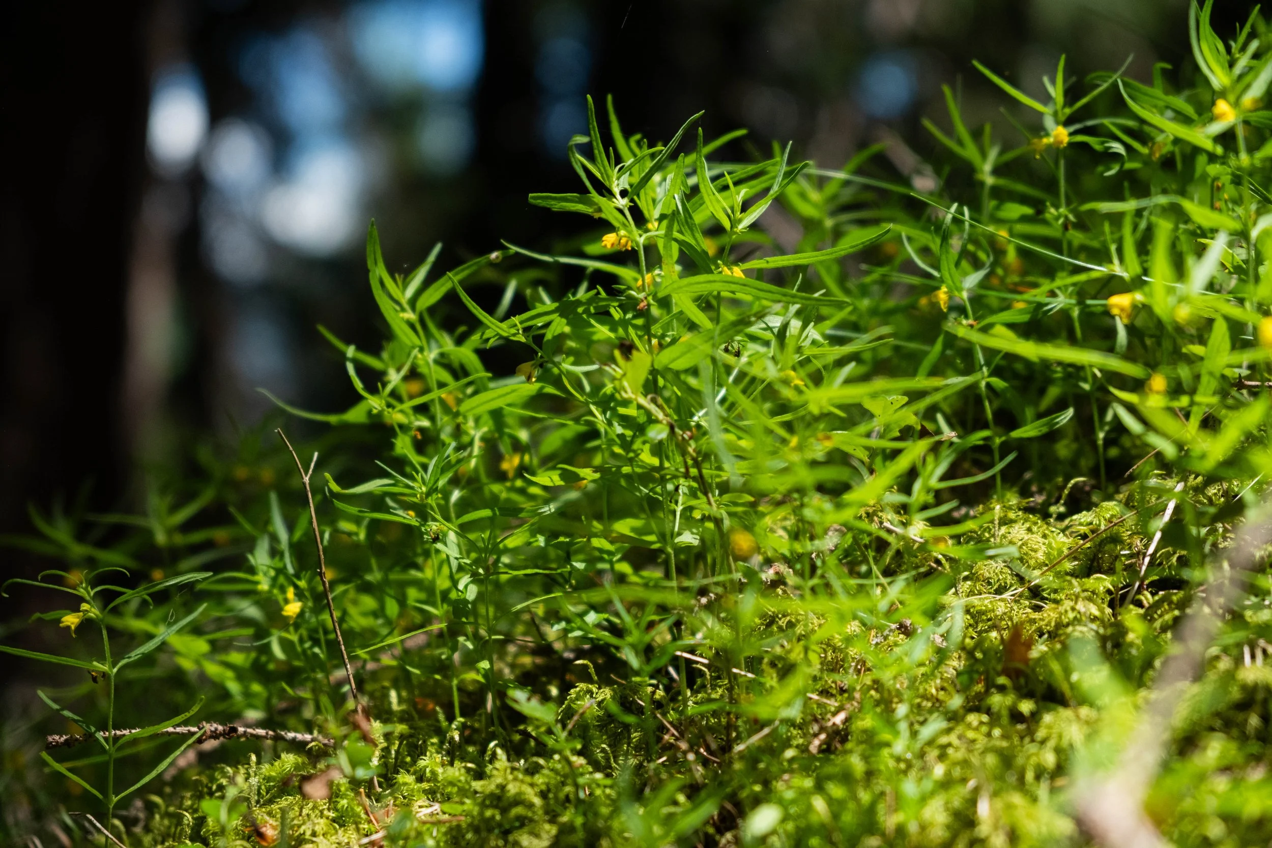
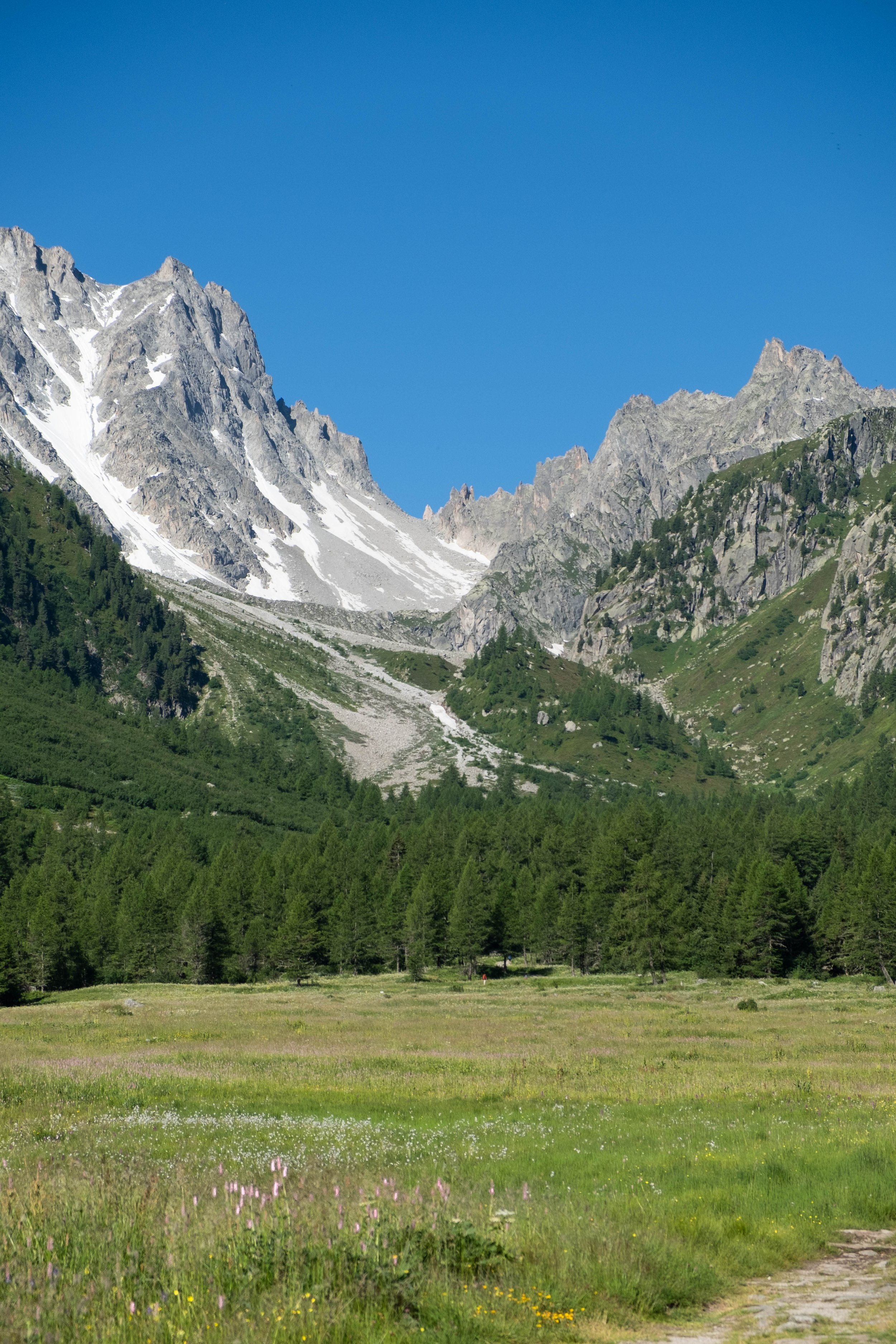
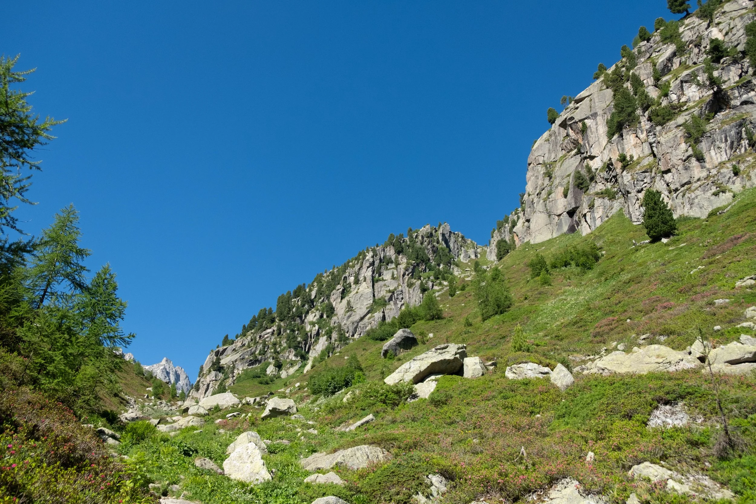
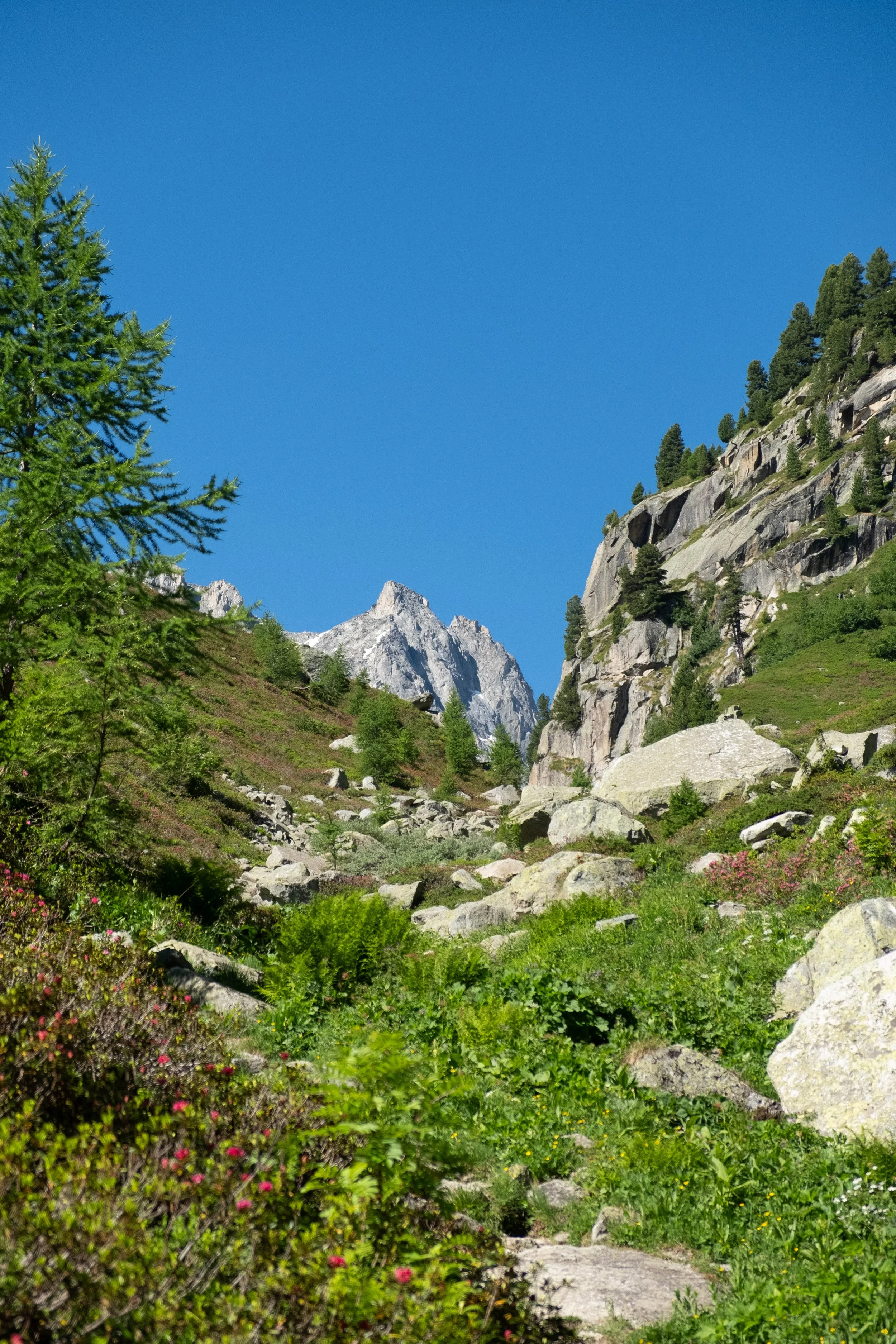
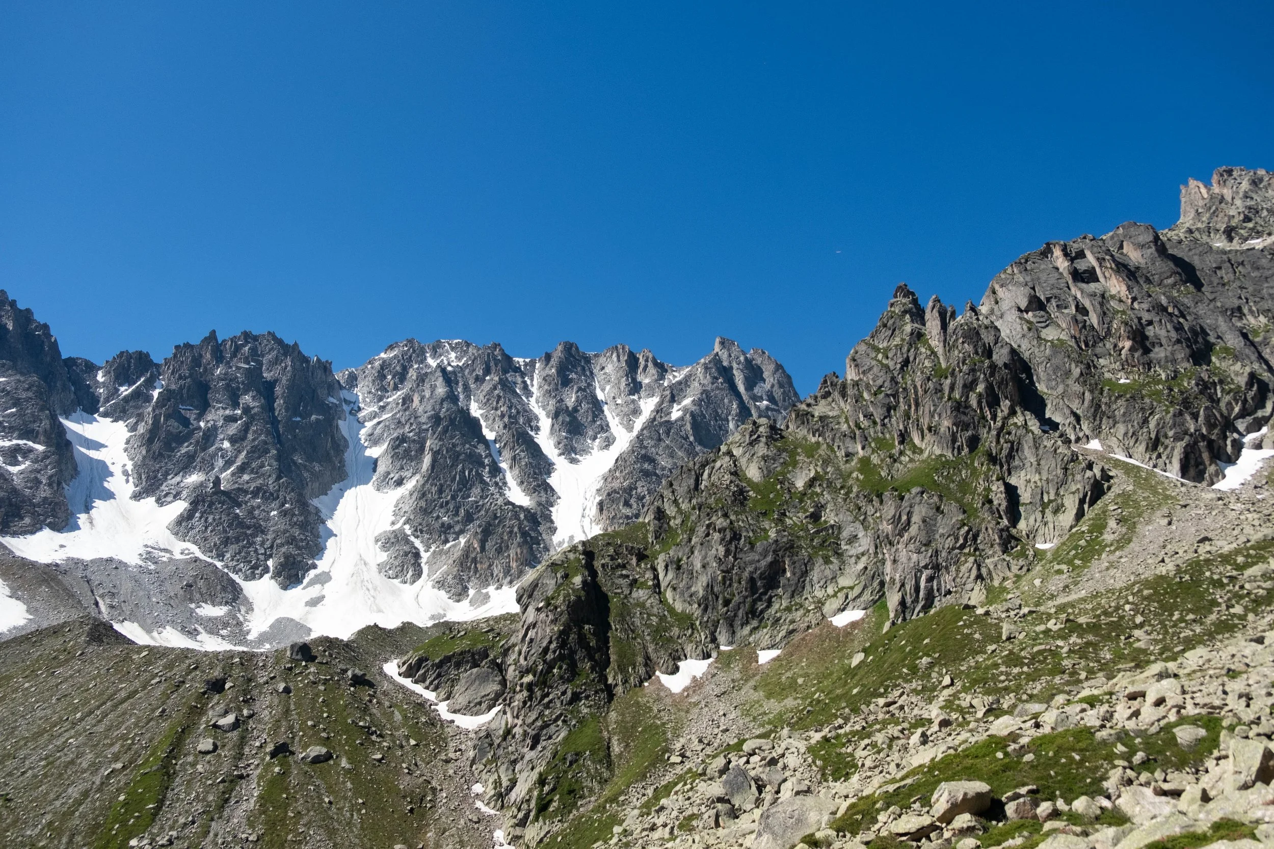
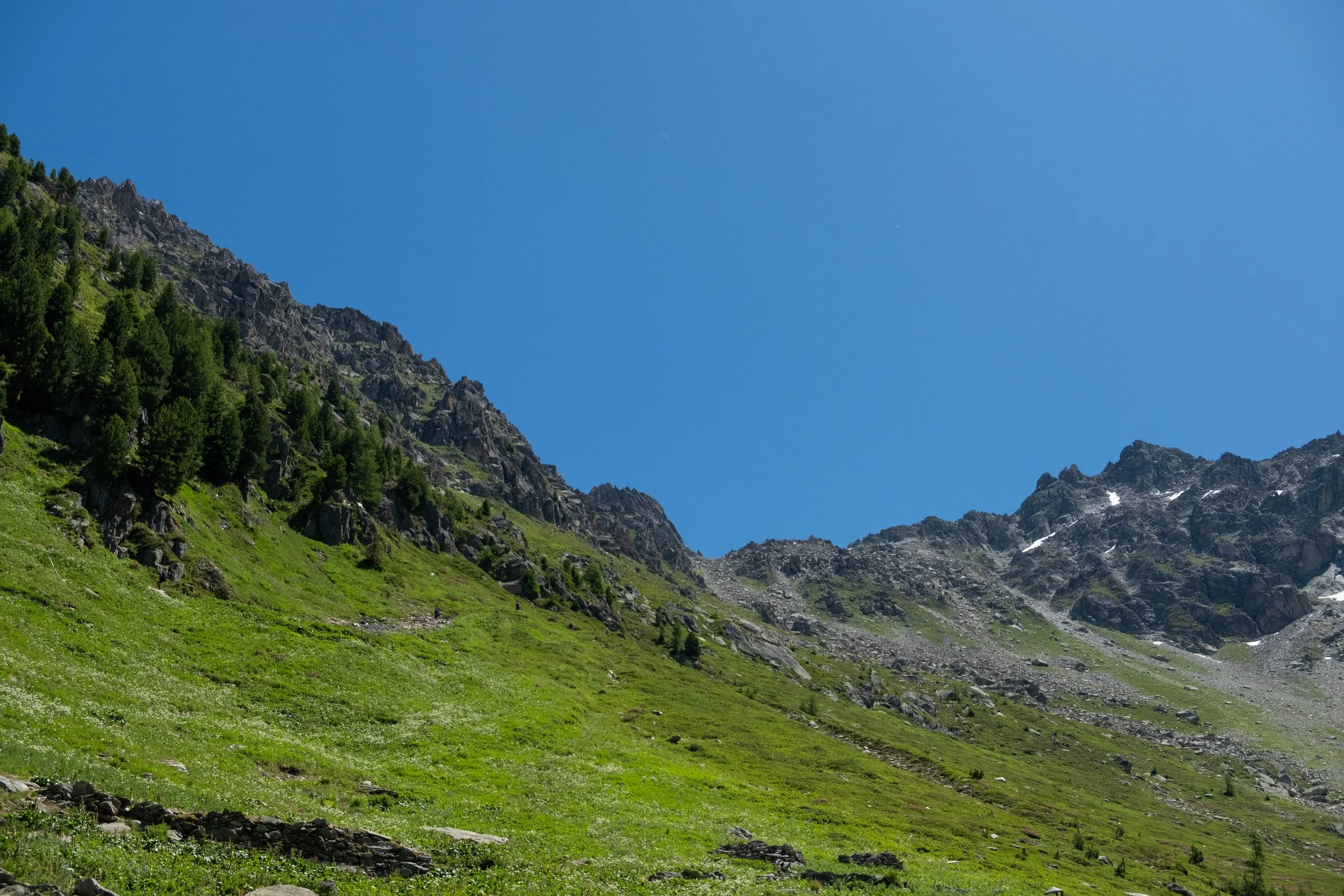
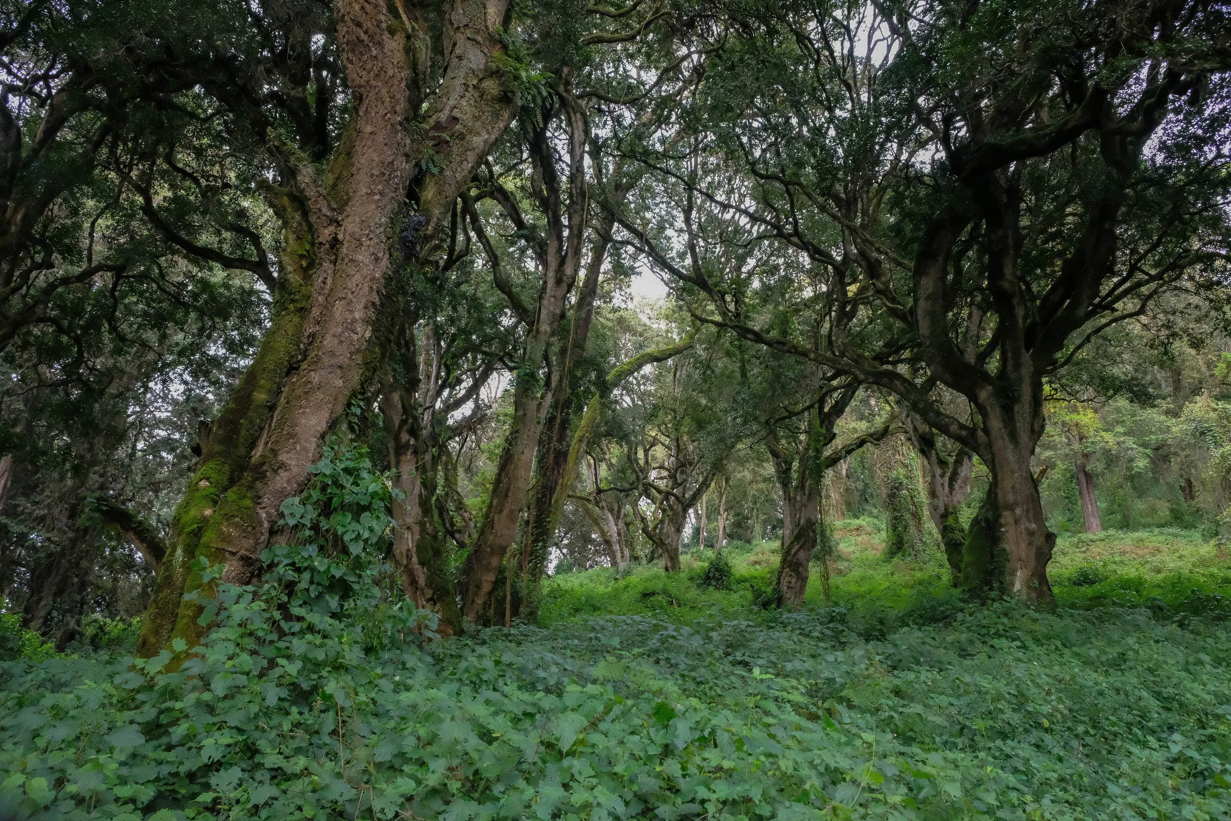
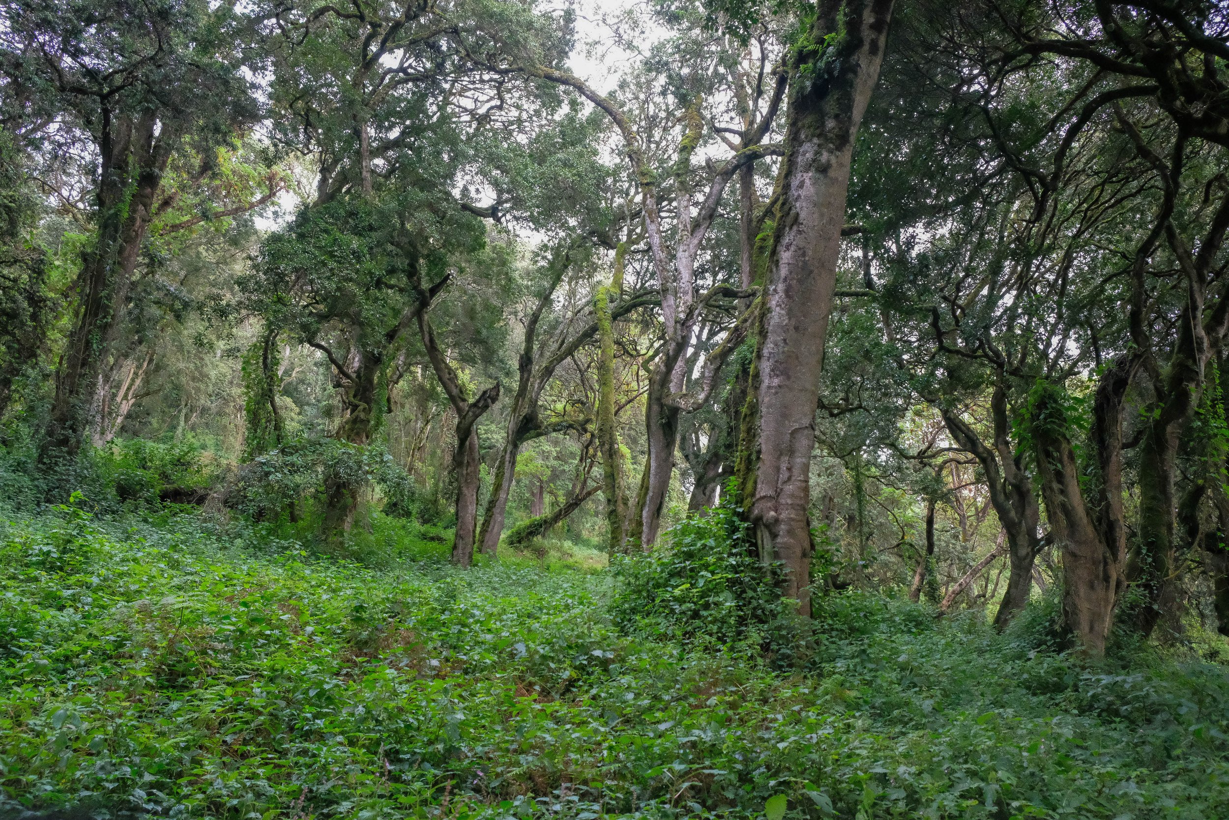
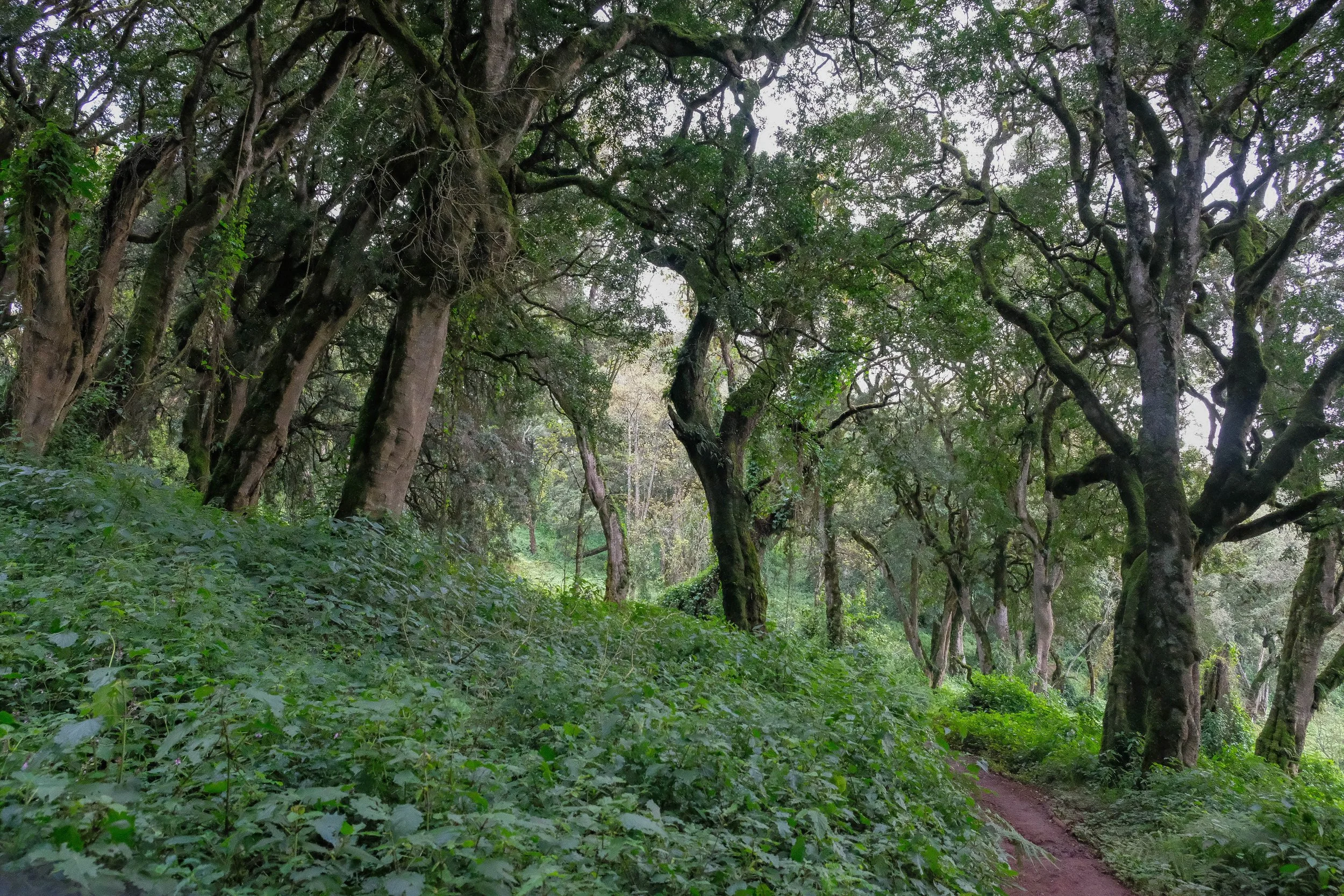
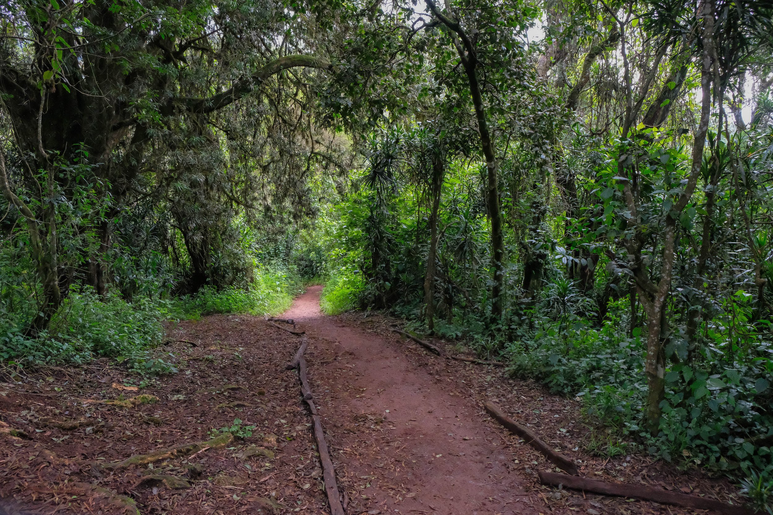
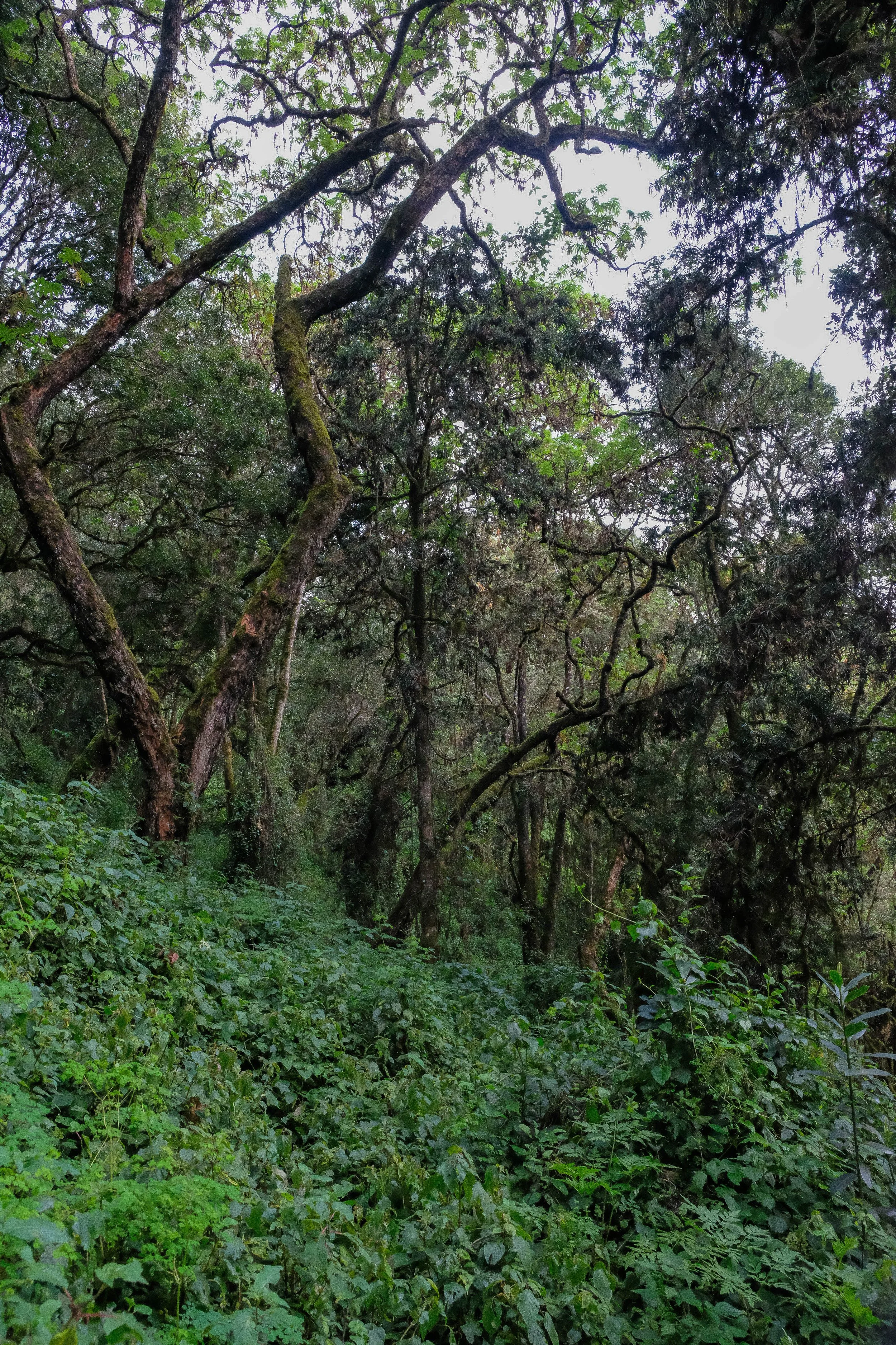
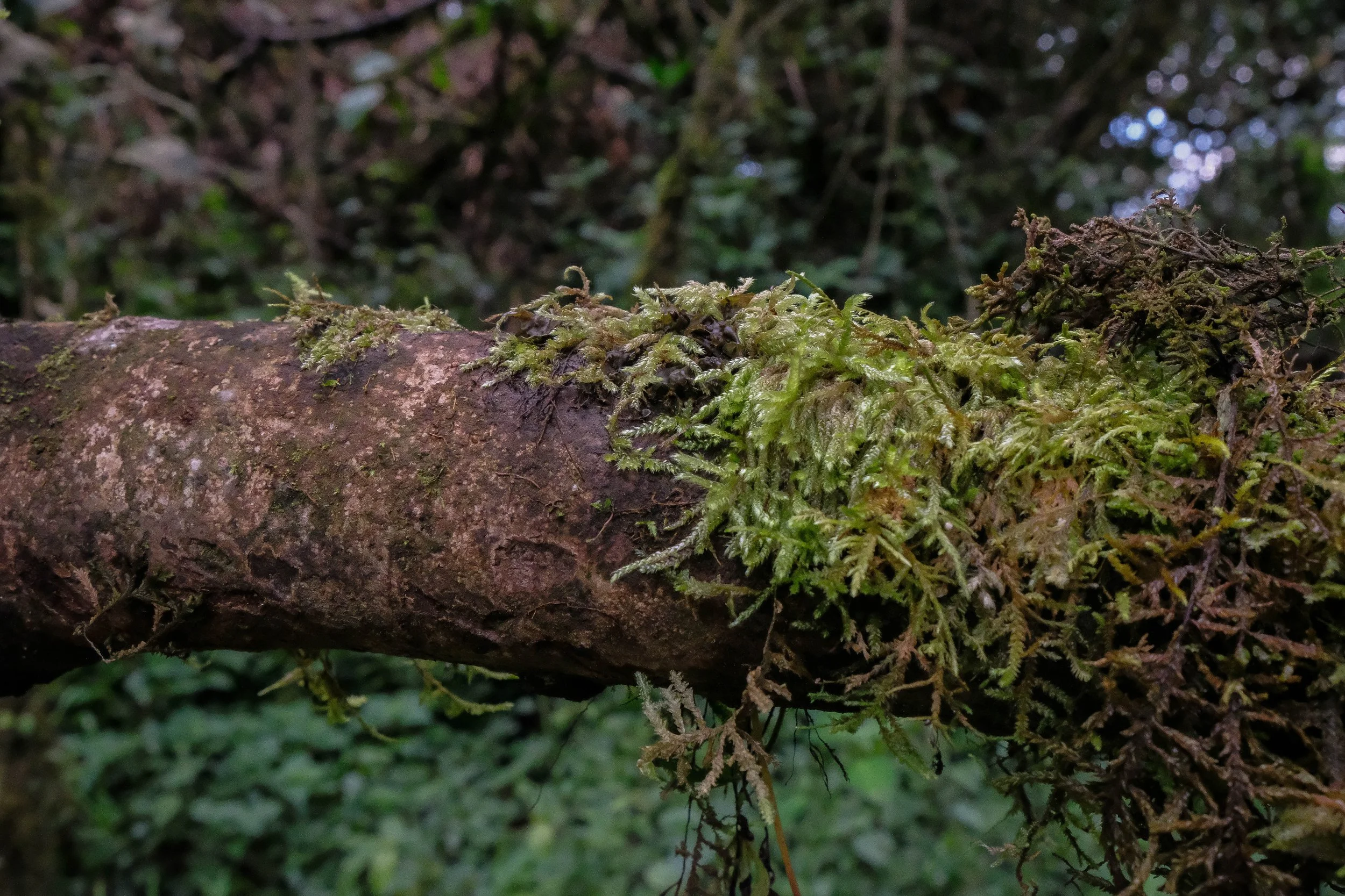
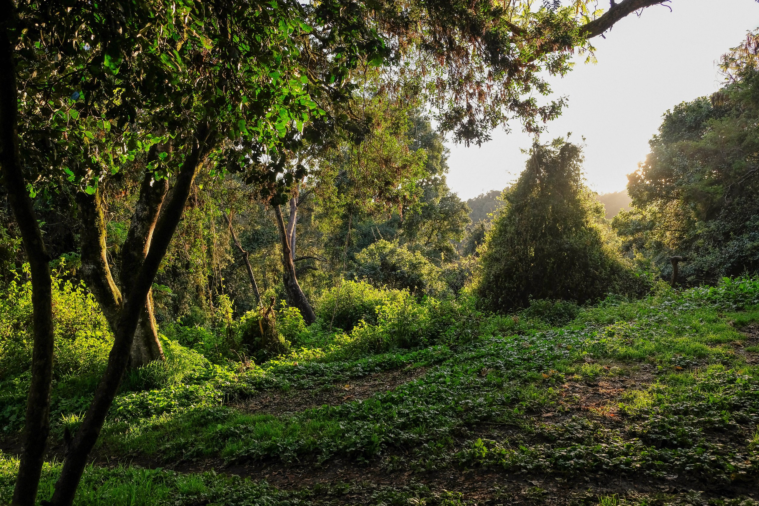
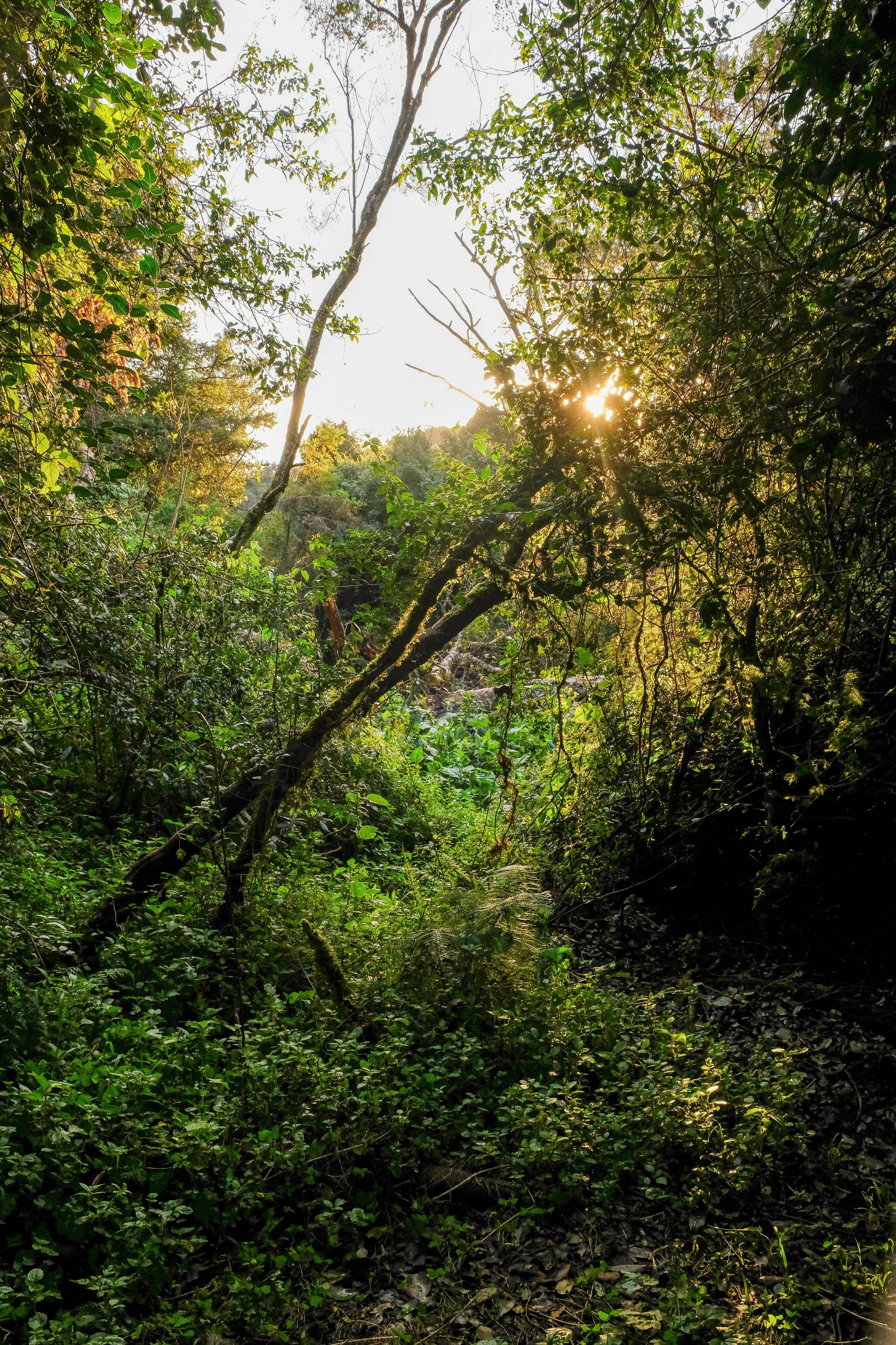
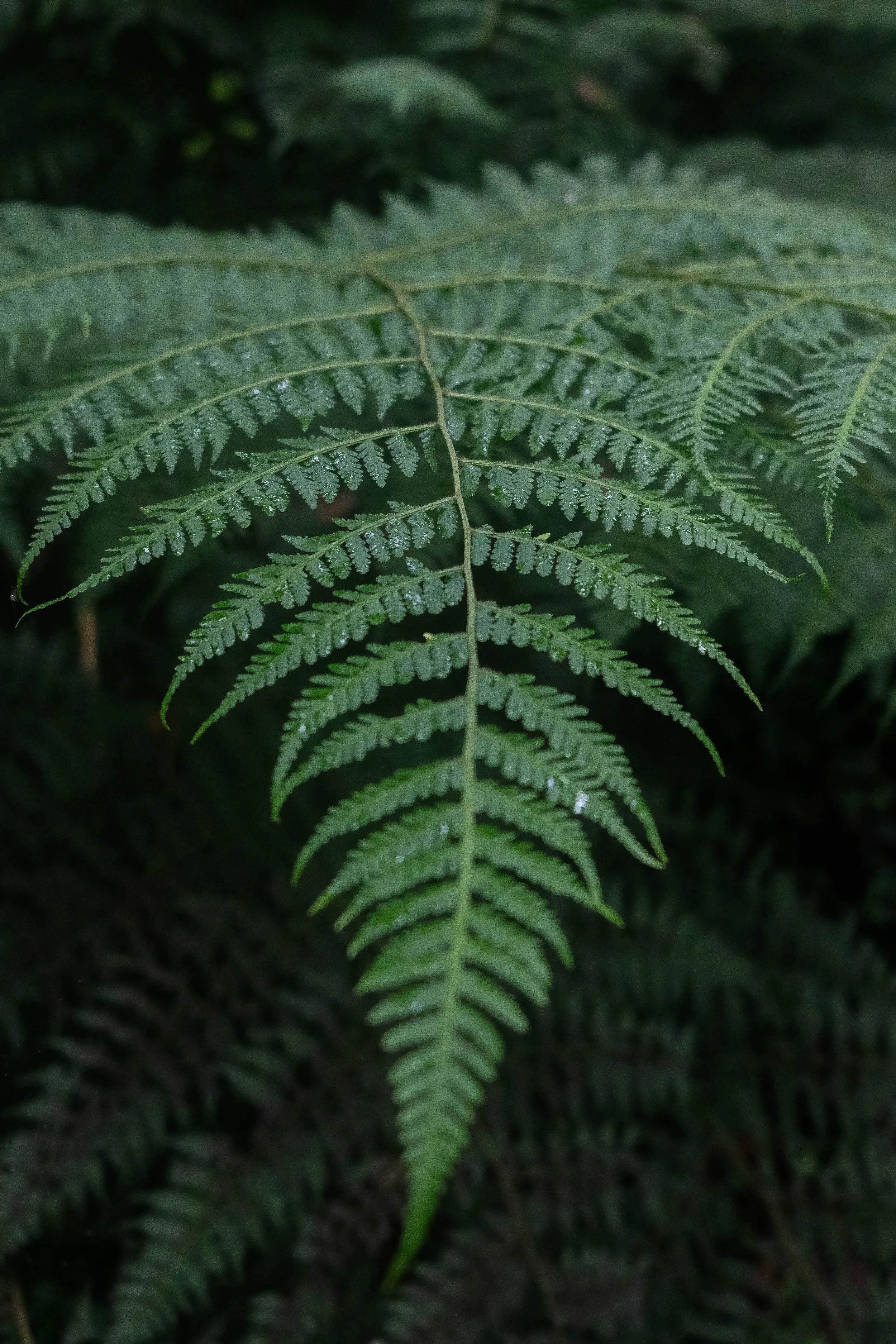
We began our climb through a forest, golden-green dappled light streaming through the canopy above us, Queen Anne’s Lace and forget-me-nots lining the path, and views of the Bionassey glacier slowly emerging to our right. After crossing the suspension bridge, which reminded me of Nepal, we began the long ascent up our first pass: Col du Tricot.
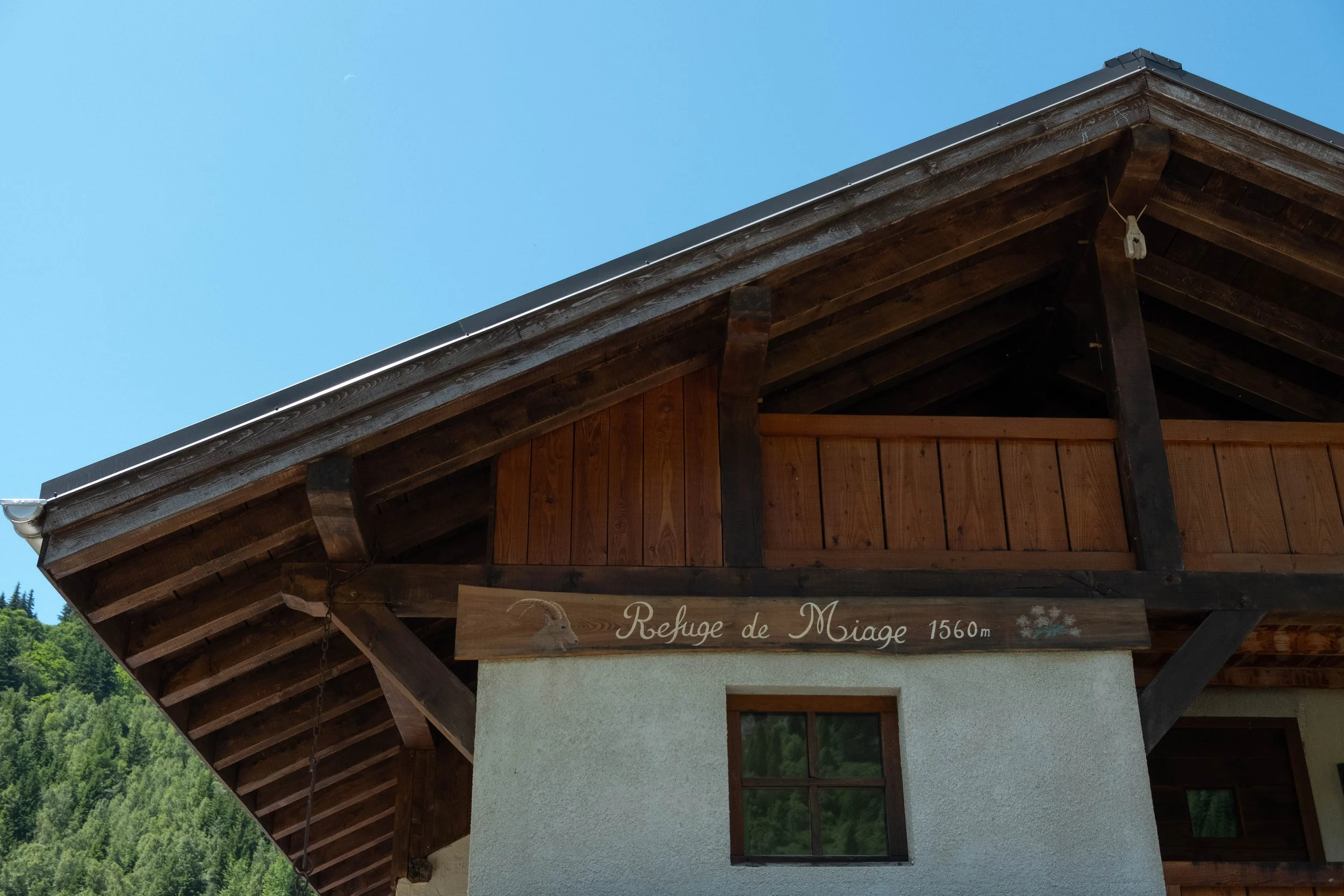
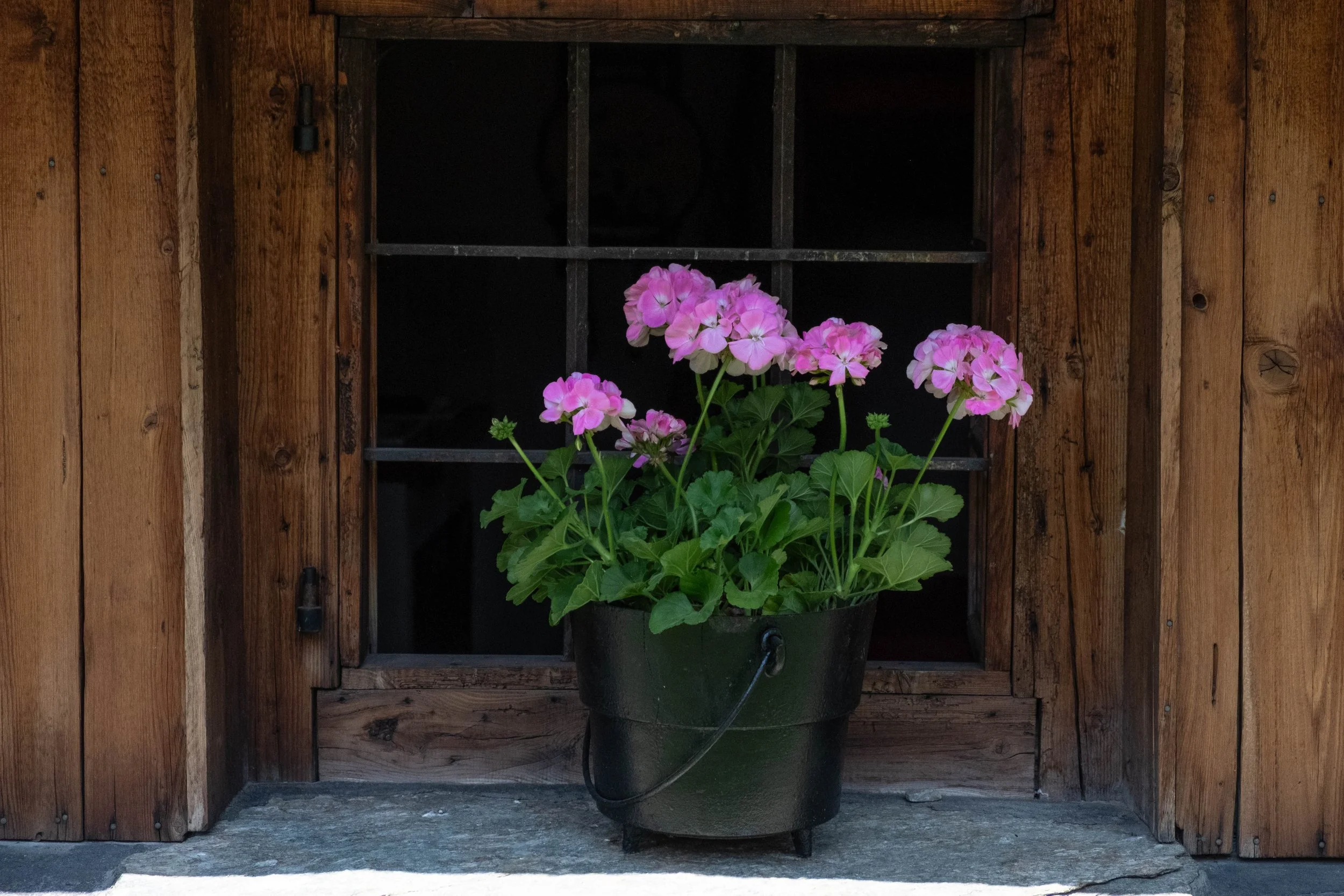
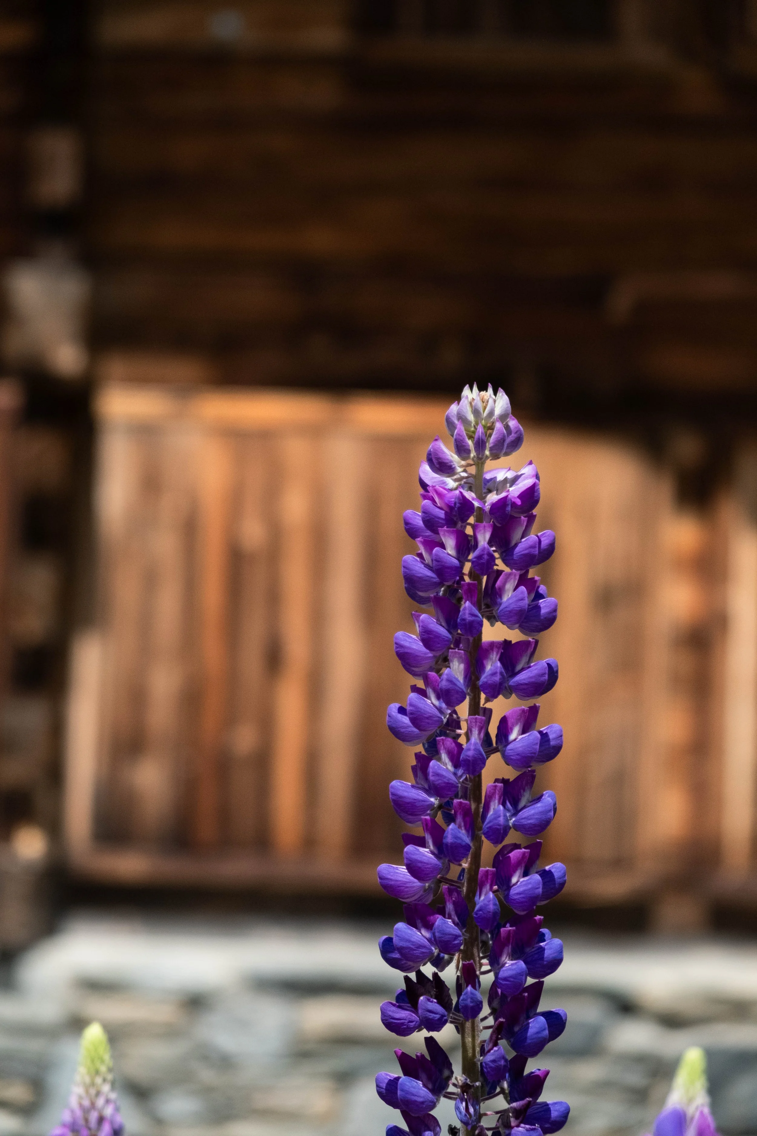
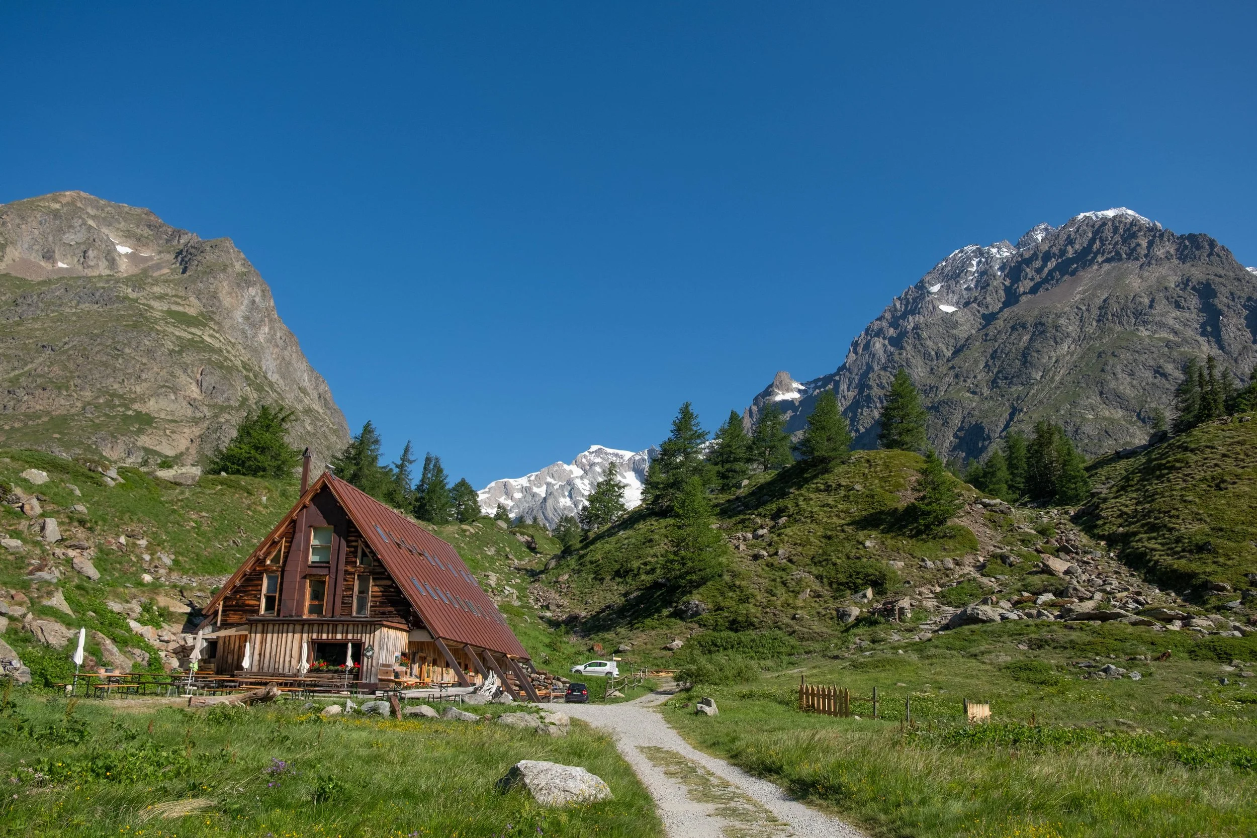
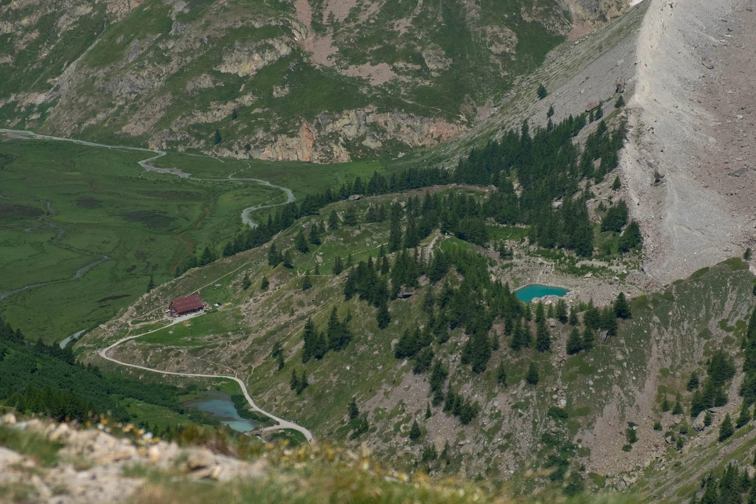
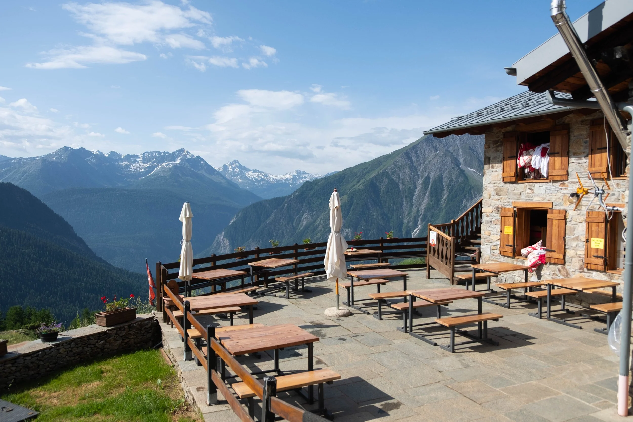
At the top, we were able to look down the other side to what would be our first stop (and one of our absolute favorites!) on the TMB: Refuge de Miage. Tiny blue umbrellas dotted the hillside by the refuge, enticing us on as we began navigating the steep switchbacks down into the valley.
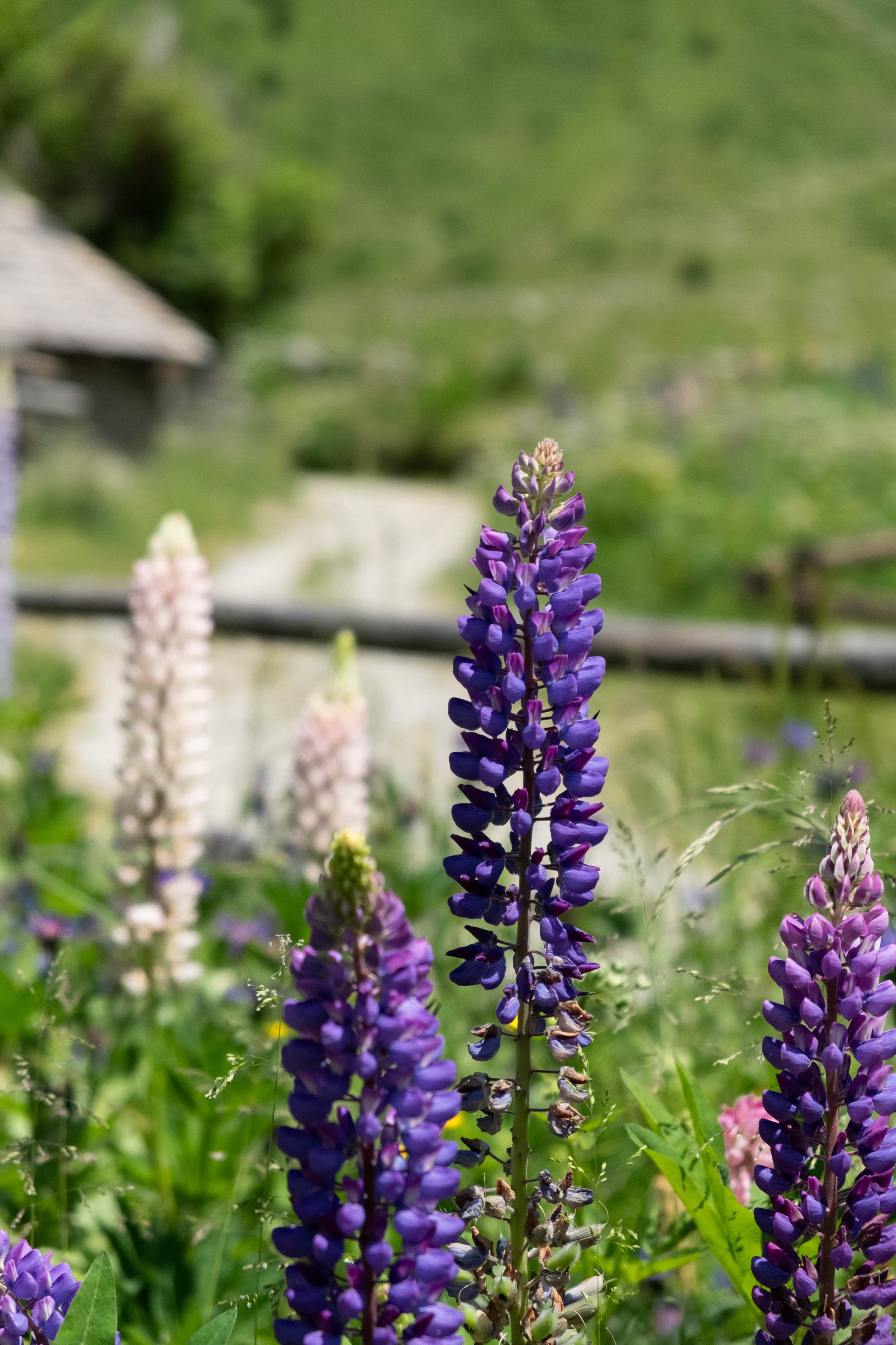
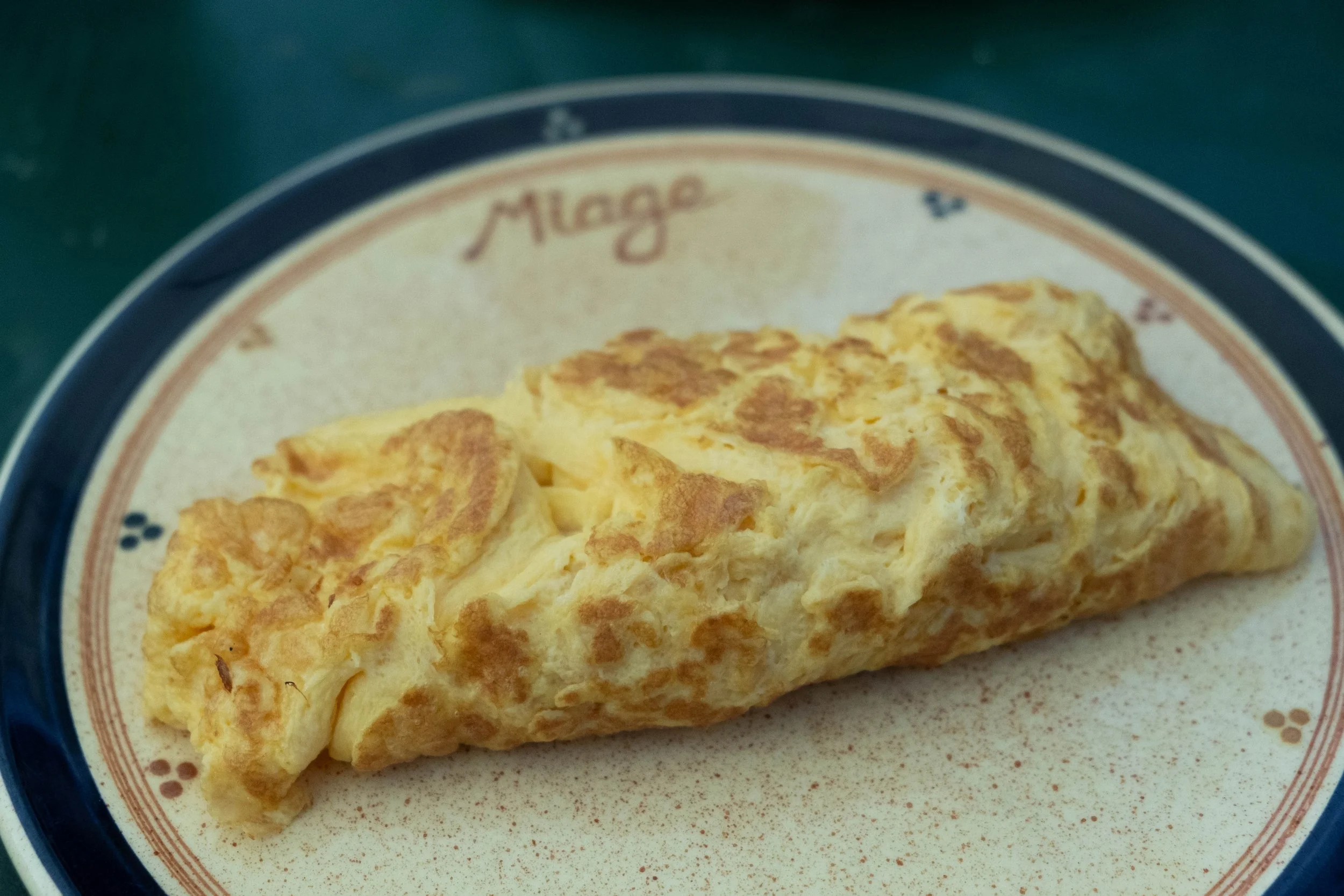
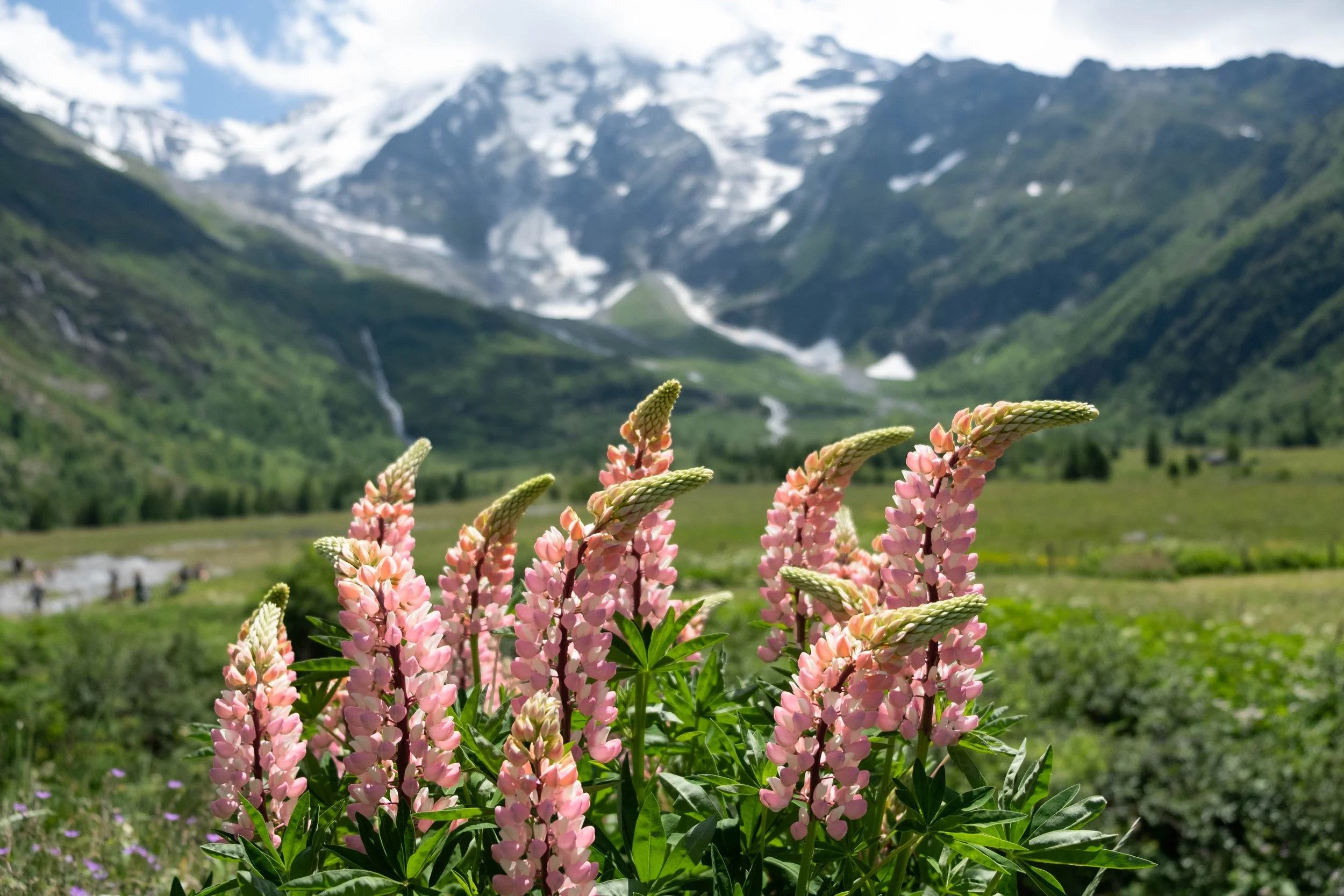
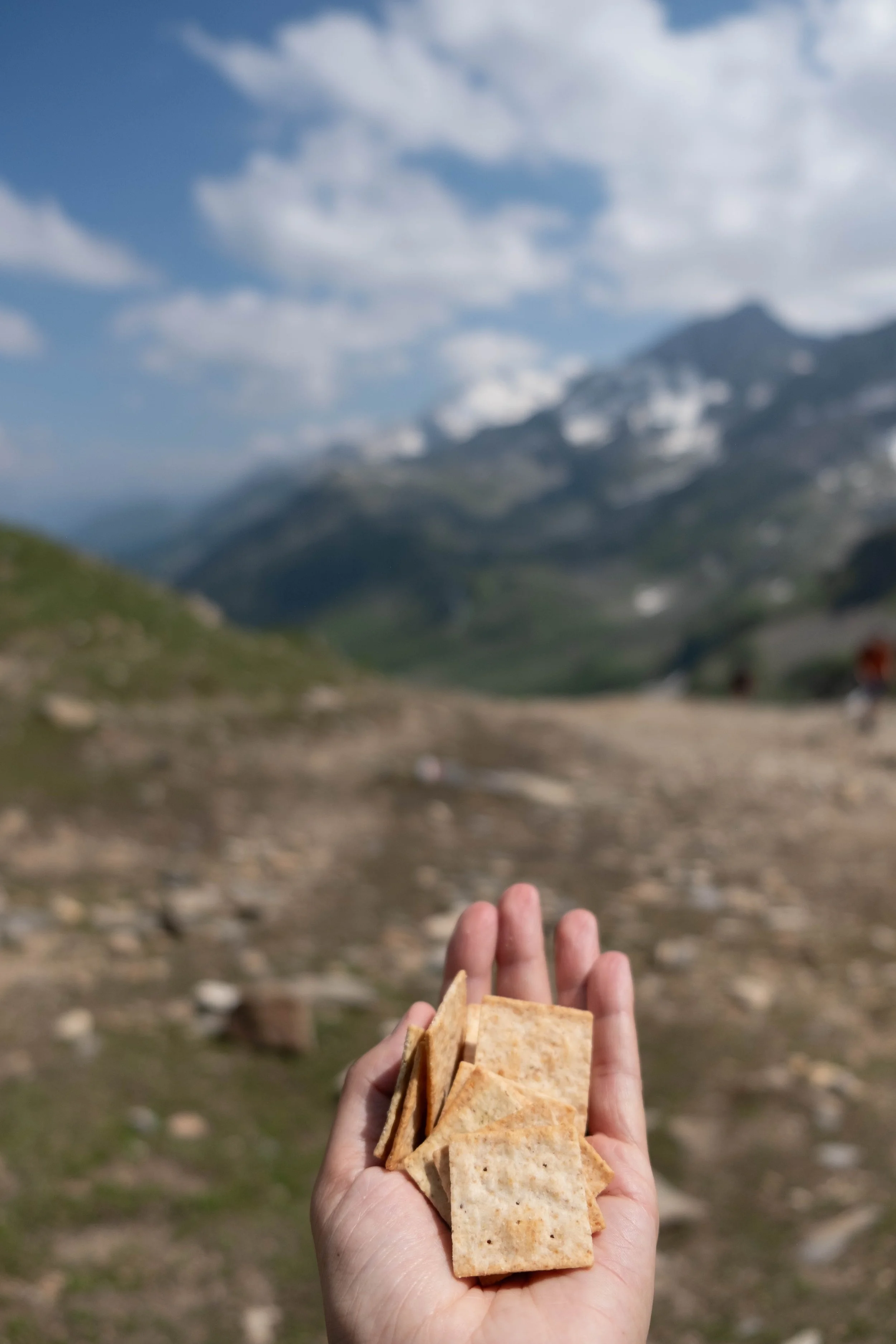
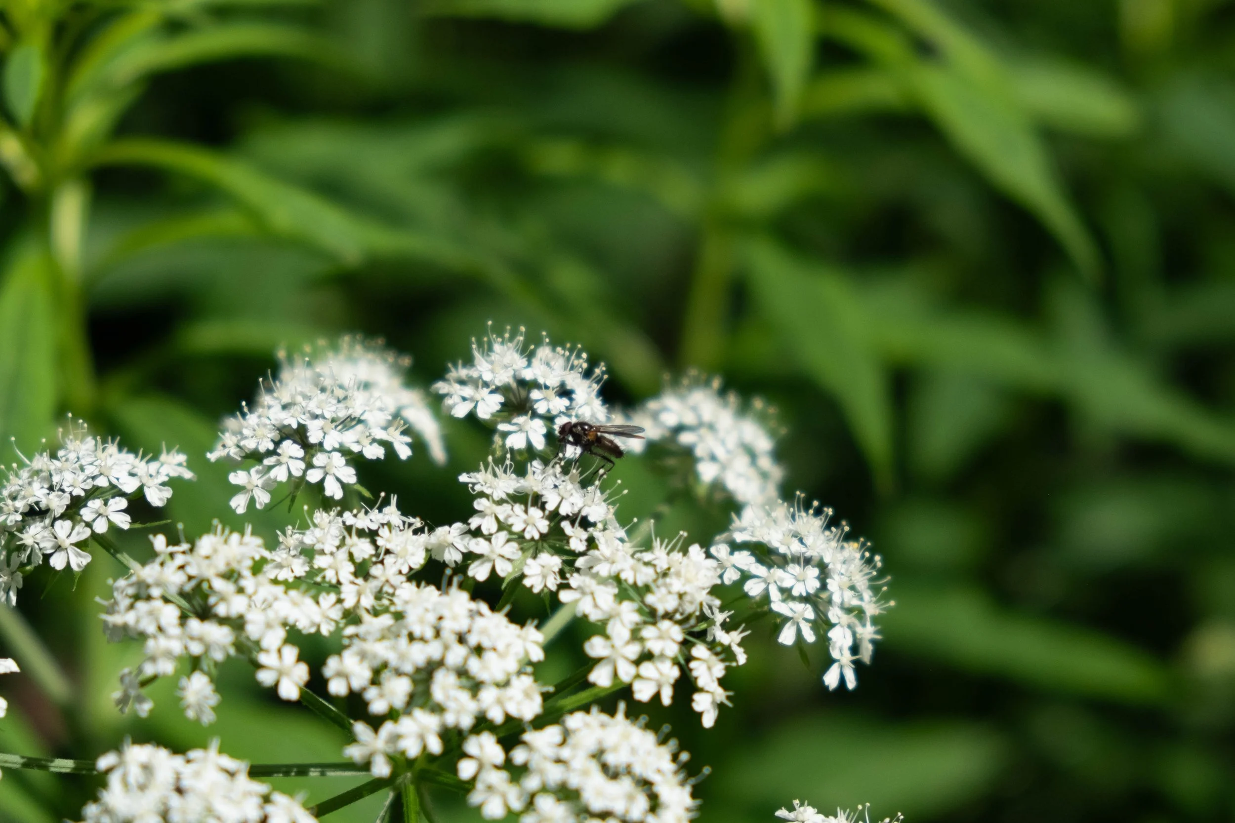
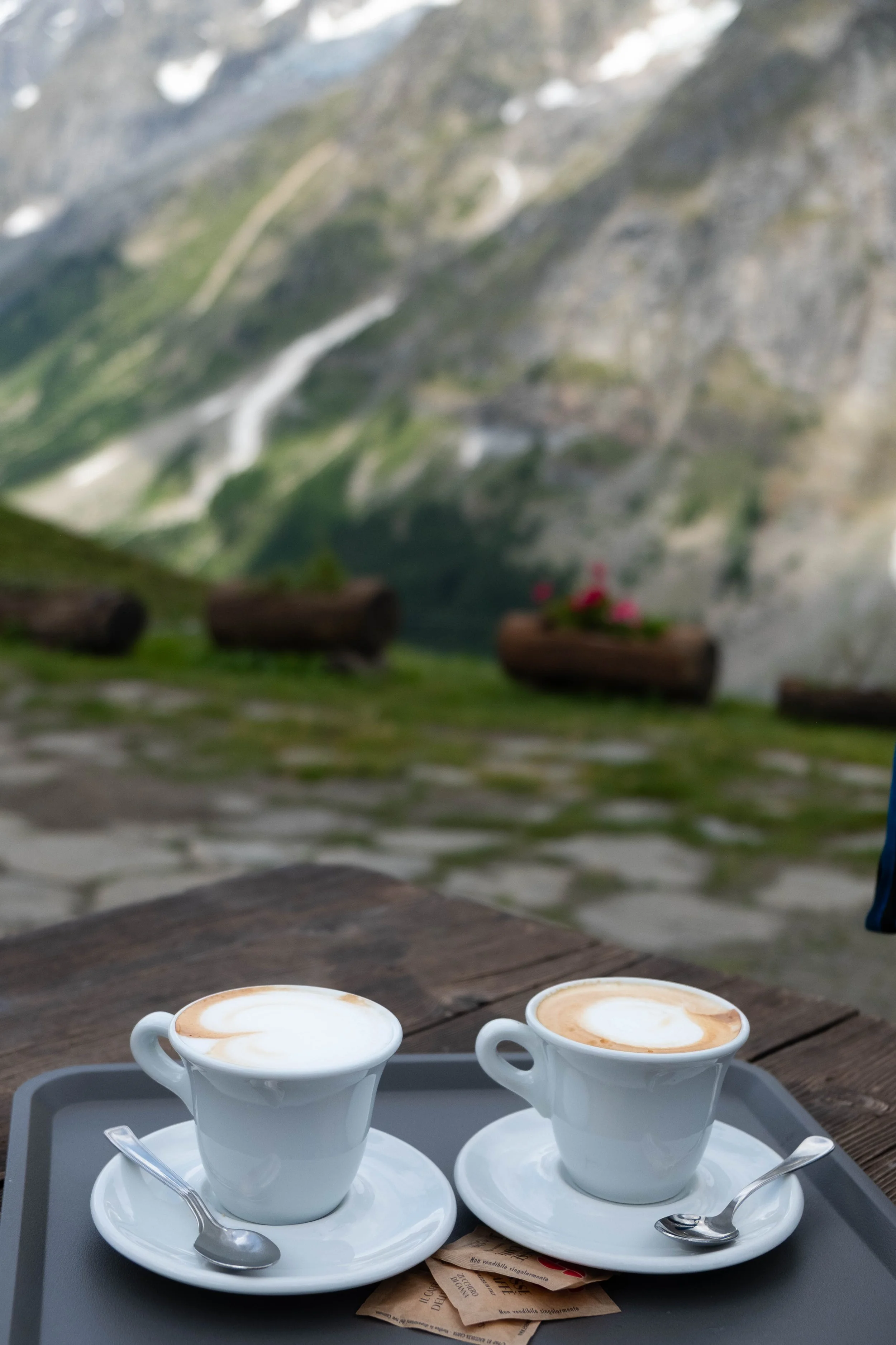
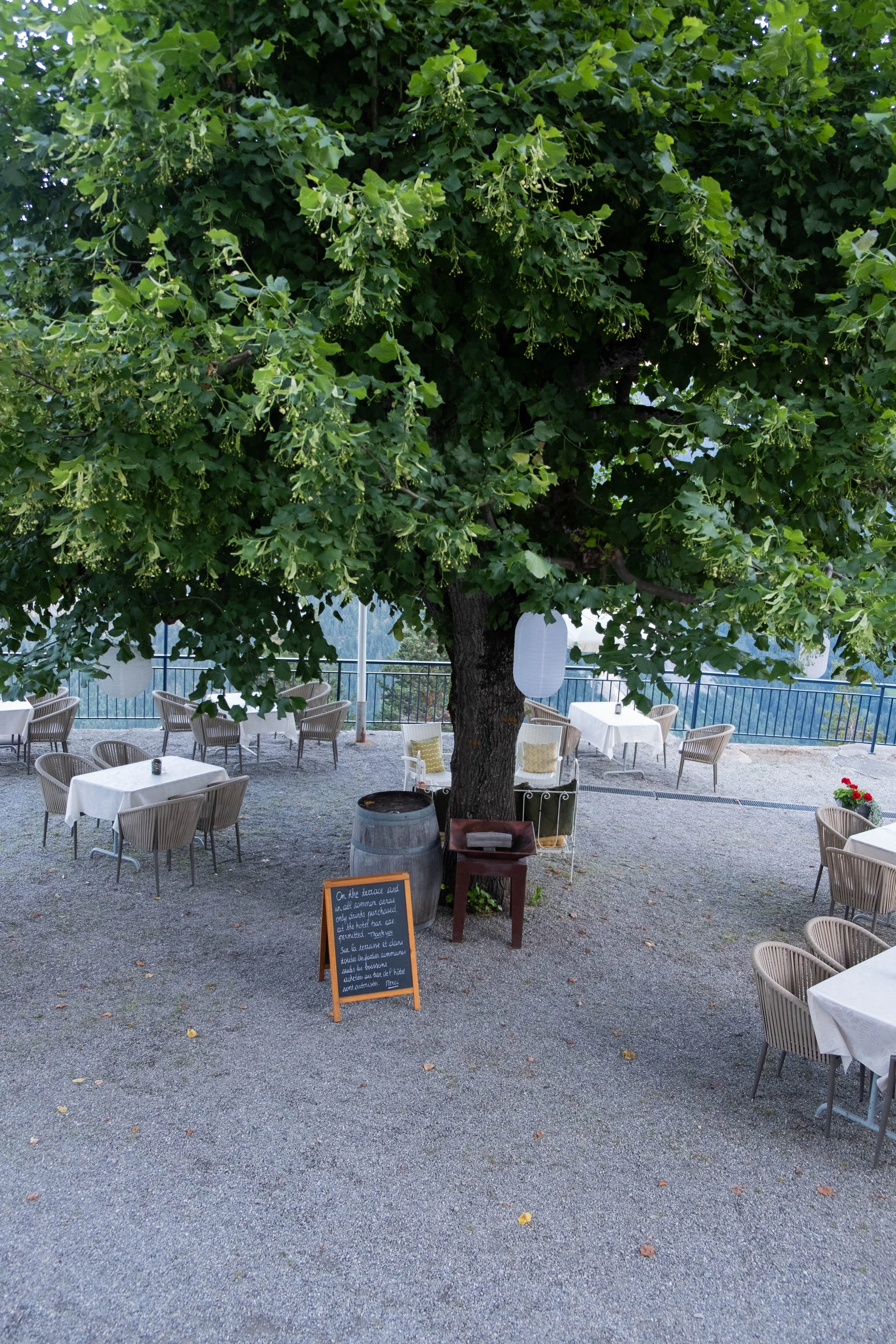
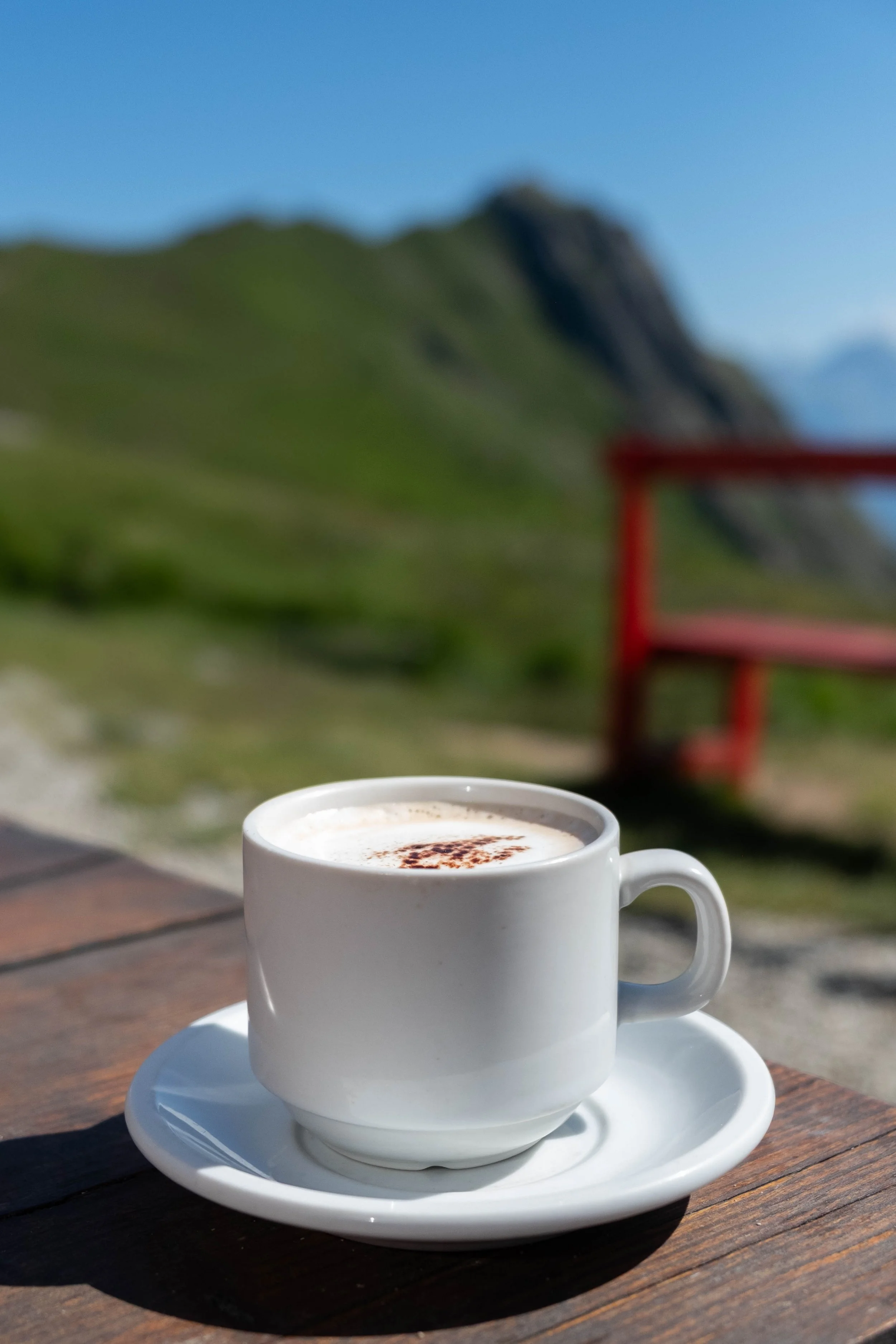
Once there, we found a seat at a table under one of those umbrellas and experienced a key piece of mountain magic that would mark every following day of the TMB — enjoying a rest stop at a hut with an unbelievable view of the mountains and glaciers. Lupines blew in the breeze. We ordered an omelette (me) and Savoyard charcuterie plate (James), then topped it off with a slice of the famous blueberry pie and a bowl of freshly made strawberry sorbet with a dollop of the richest whipped cream. With this fuel in our systems and cold water in our Nalgenes, we set off on the second climb and descent of the day to Les Contamines.
Upon reaching our hotel for the night, we were rewarded with a shower, relaxing in the quiet garden while sipping on peak French drinks (Kir and Chartreuse tonic), and fresh salad + fondue for dinner. A perfect end to a solid first day.


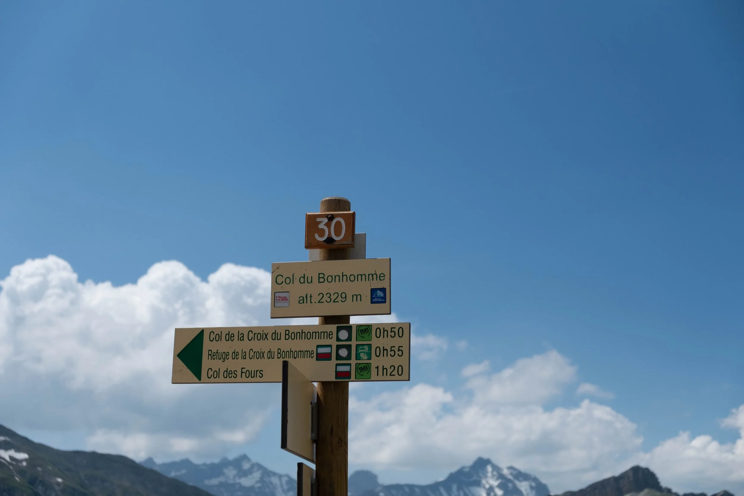
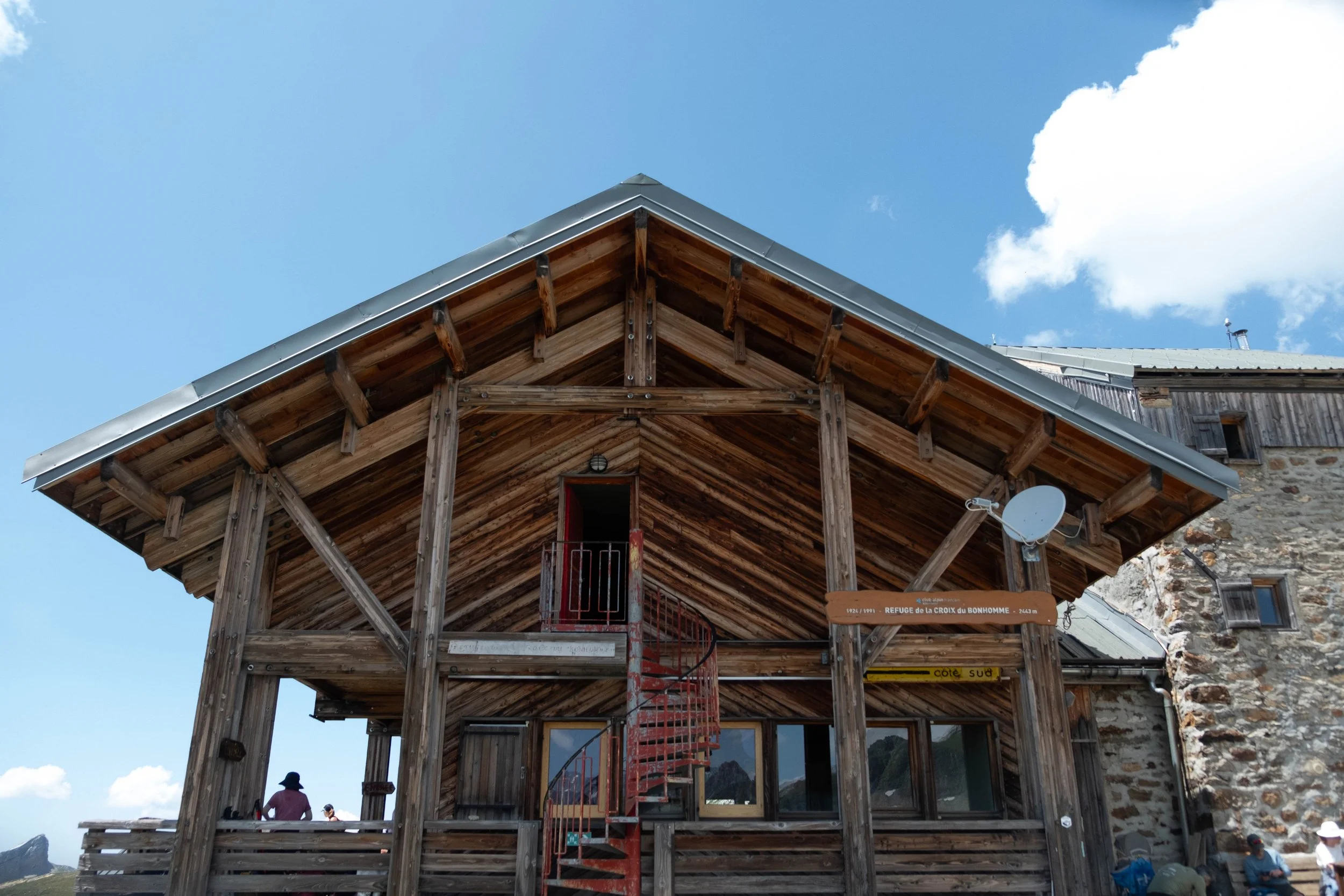
Day 2: Les Contamines to Refuge Bonhomme | Refuge de la Croix du Bonhomme, France
Distance: 7.4 miles | Ascent/Descent: +4,350 ft/-300 ft
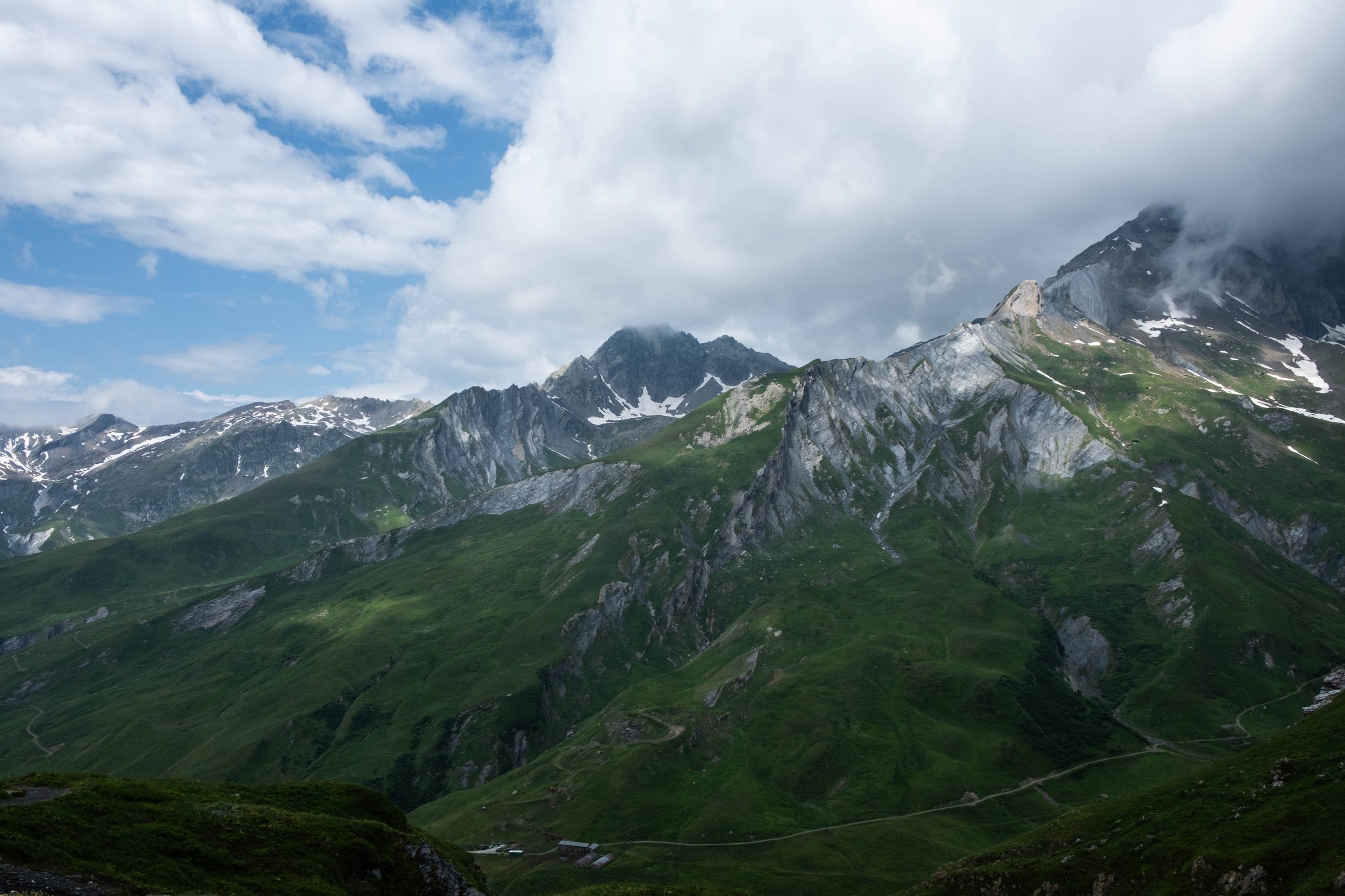
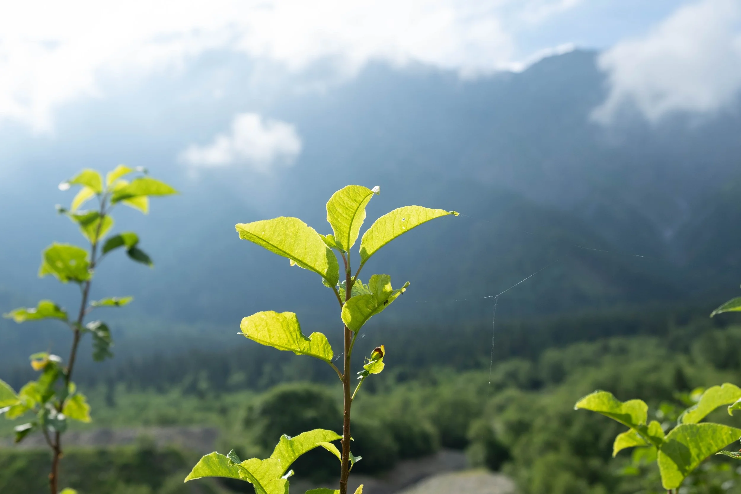
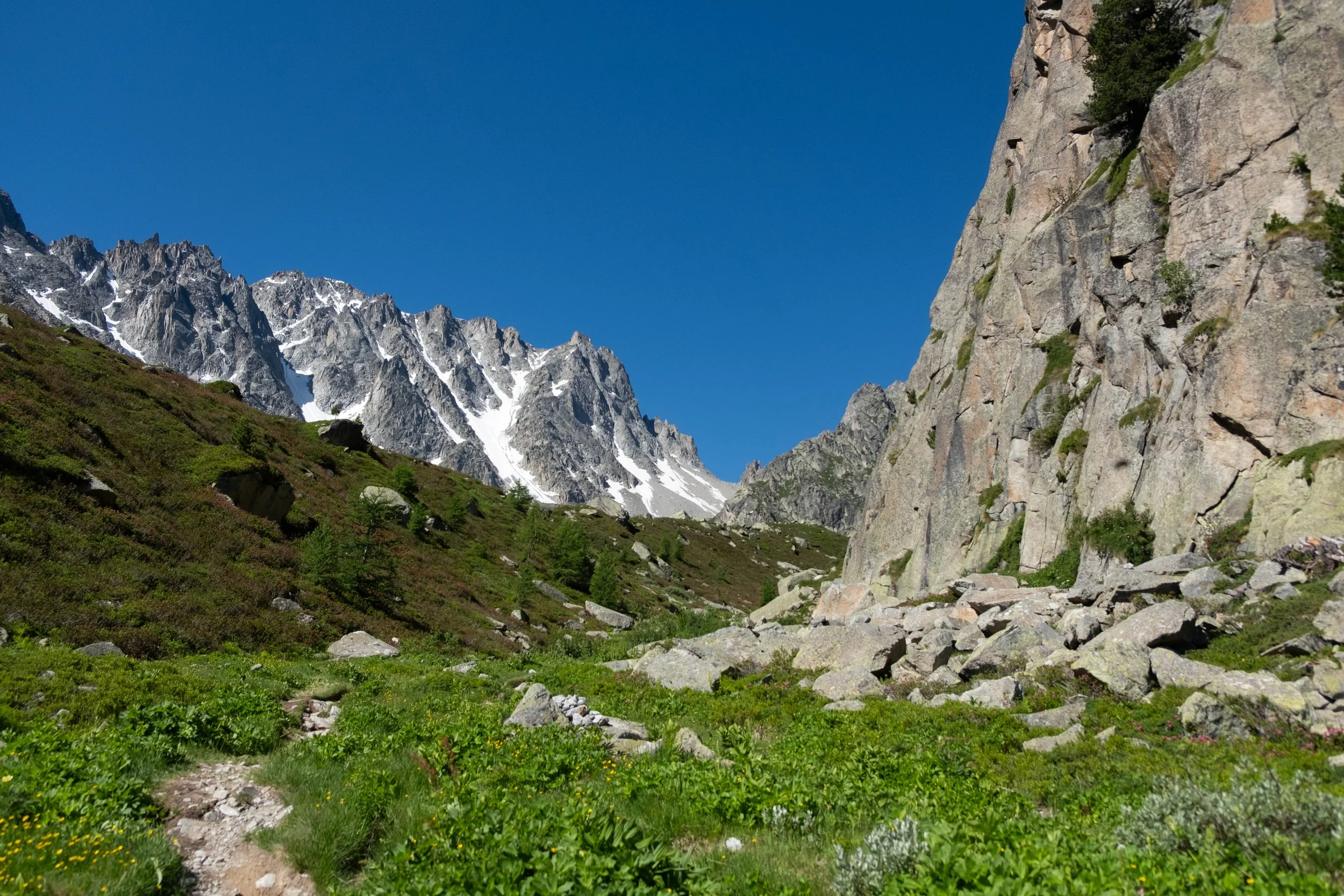
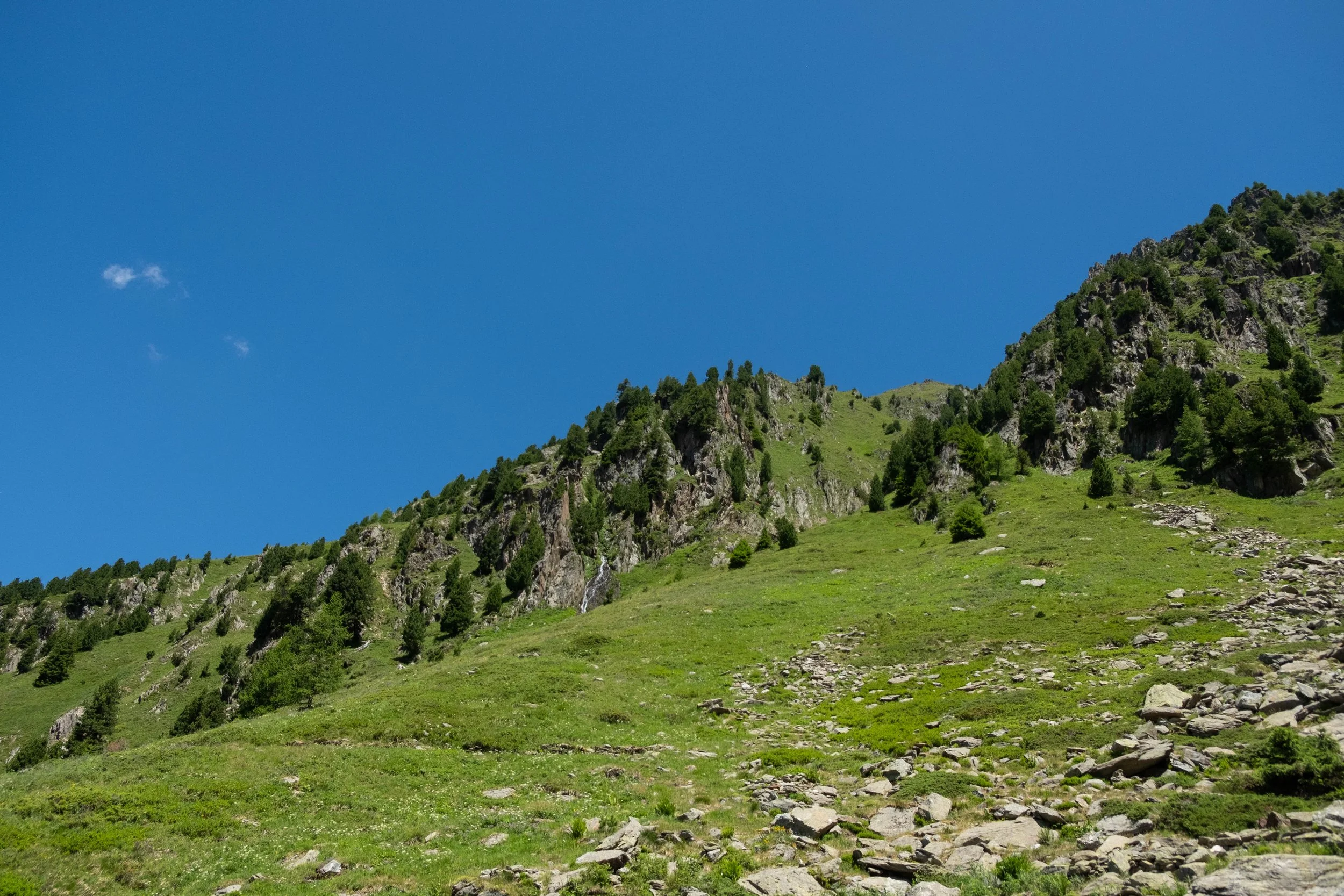
The first climb of the day was up an ancient road laid by the Romans through a forest. A beautiful river wended through a gorge, aglow with golden morning light that further enlivened its icy blue core.
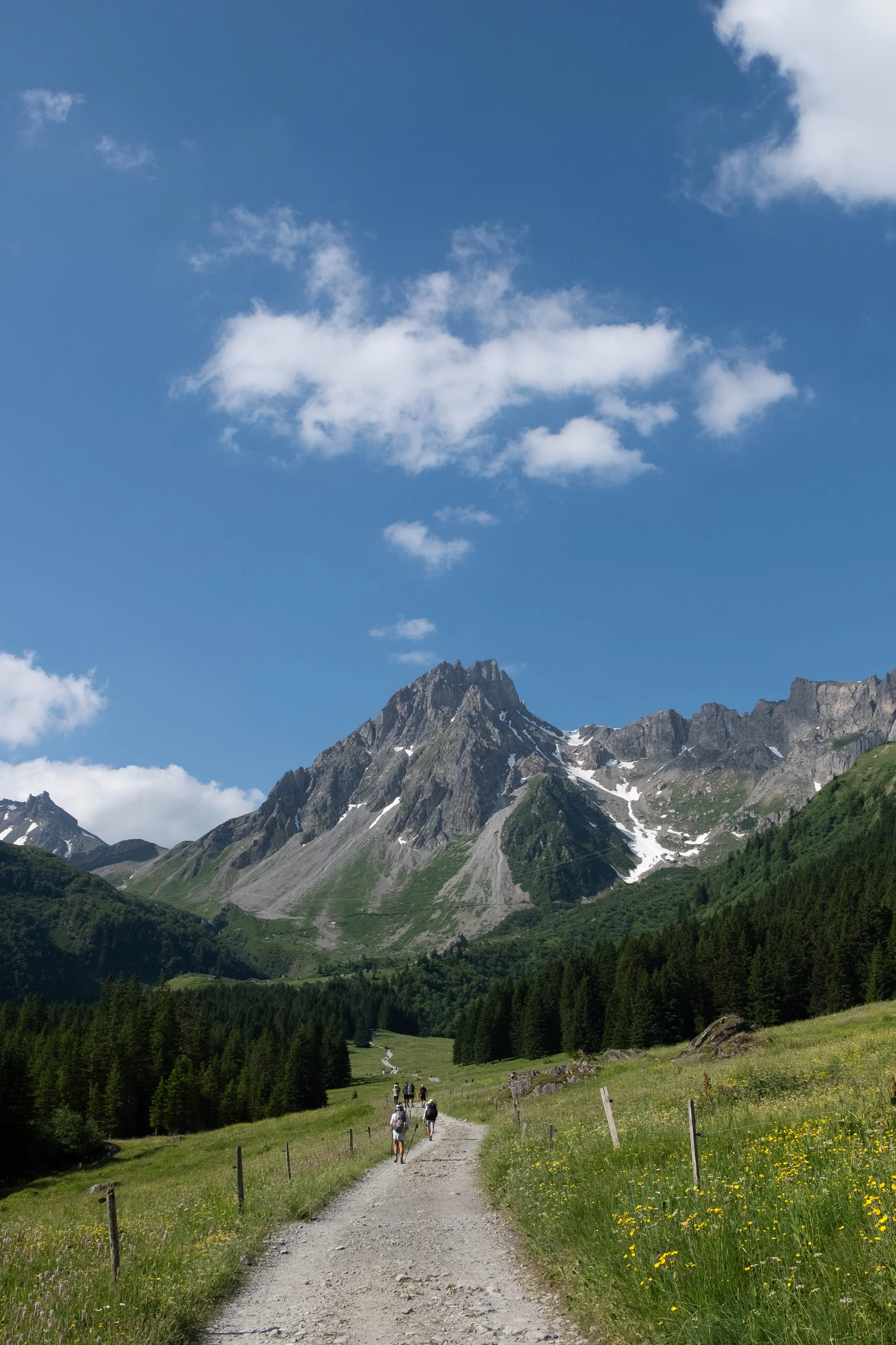
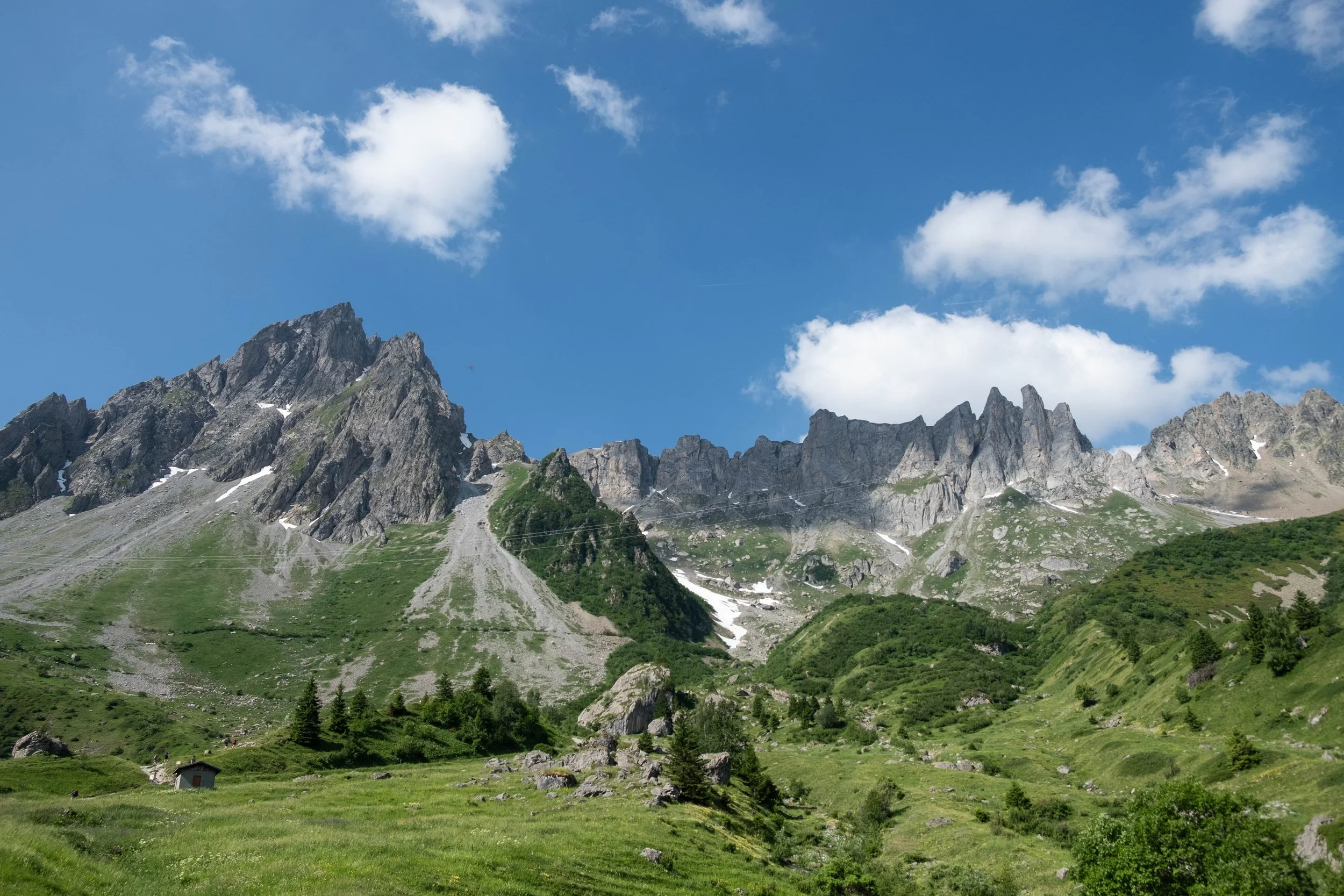
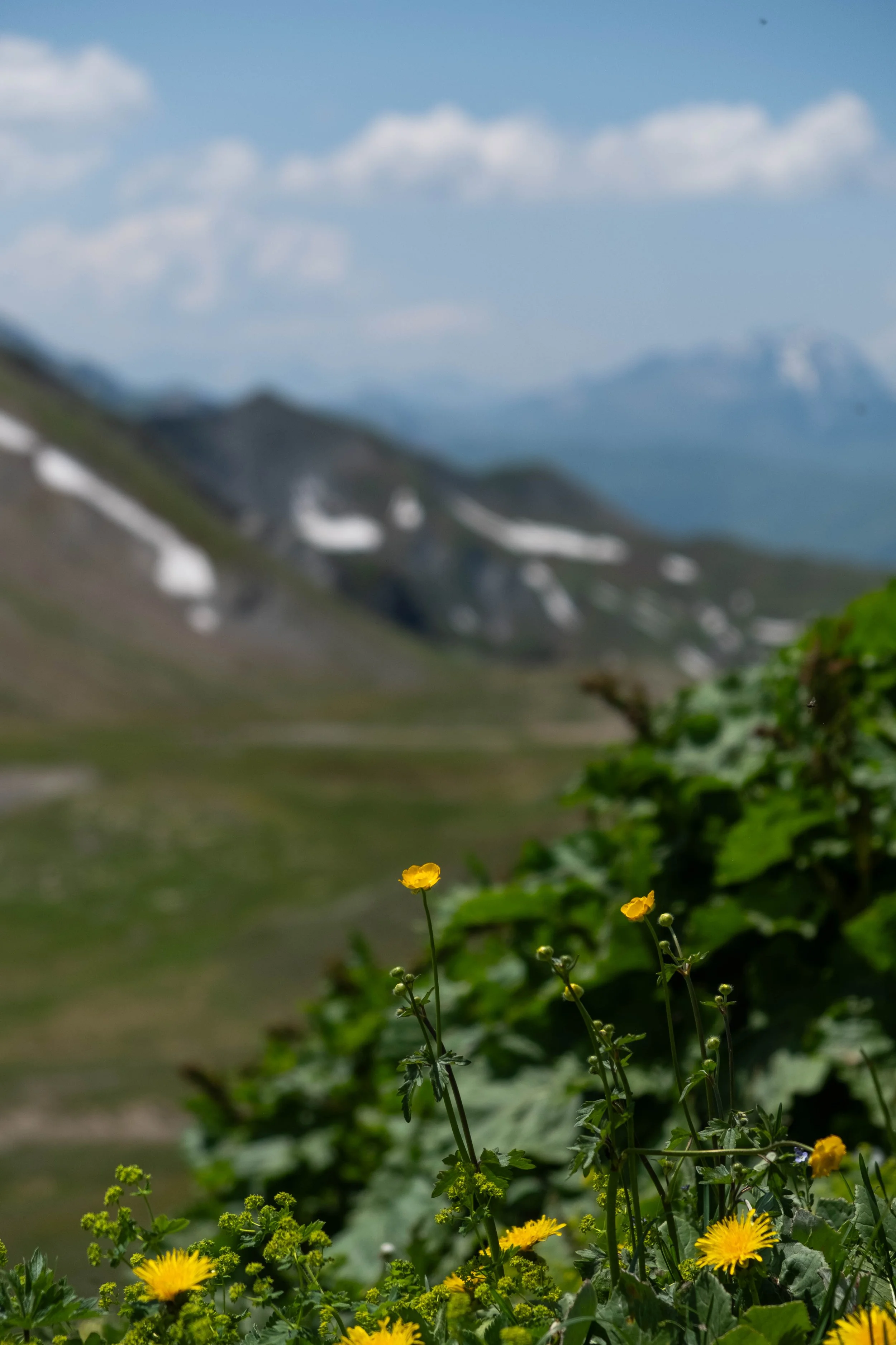
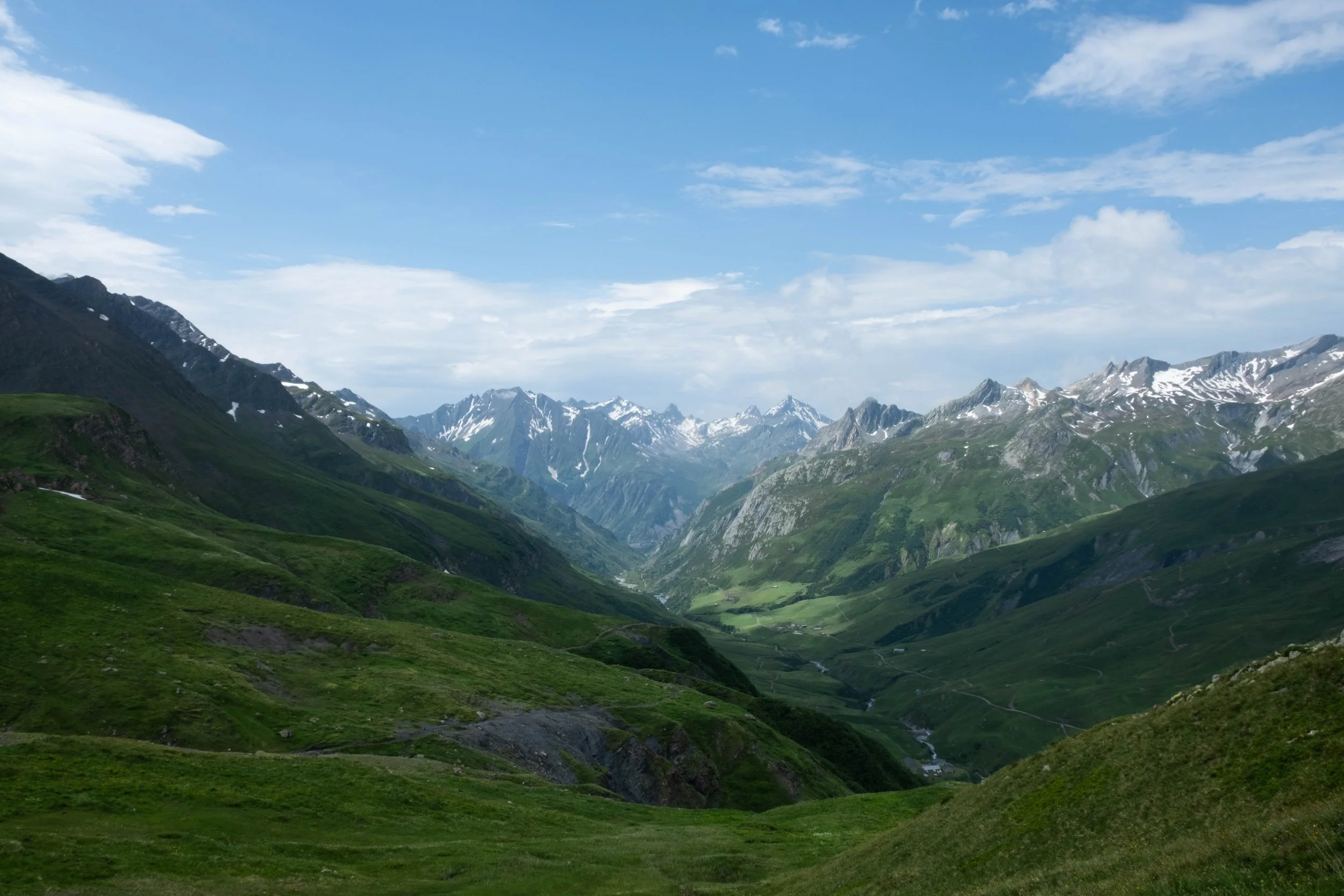
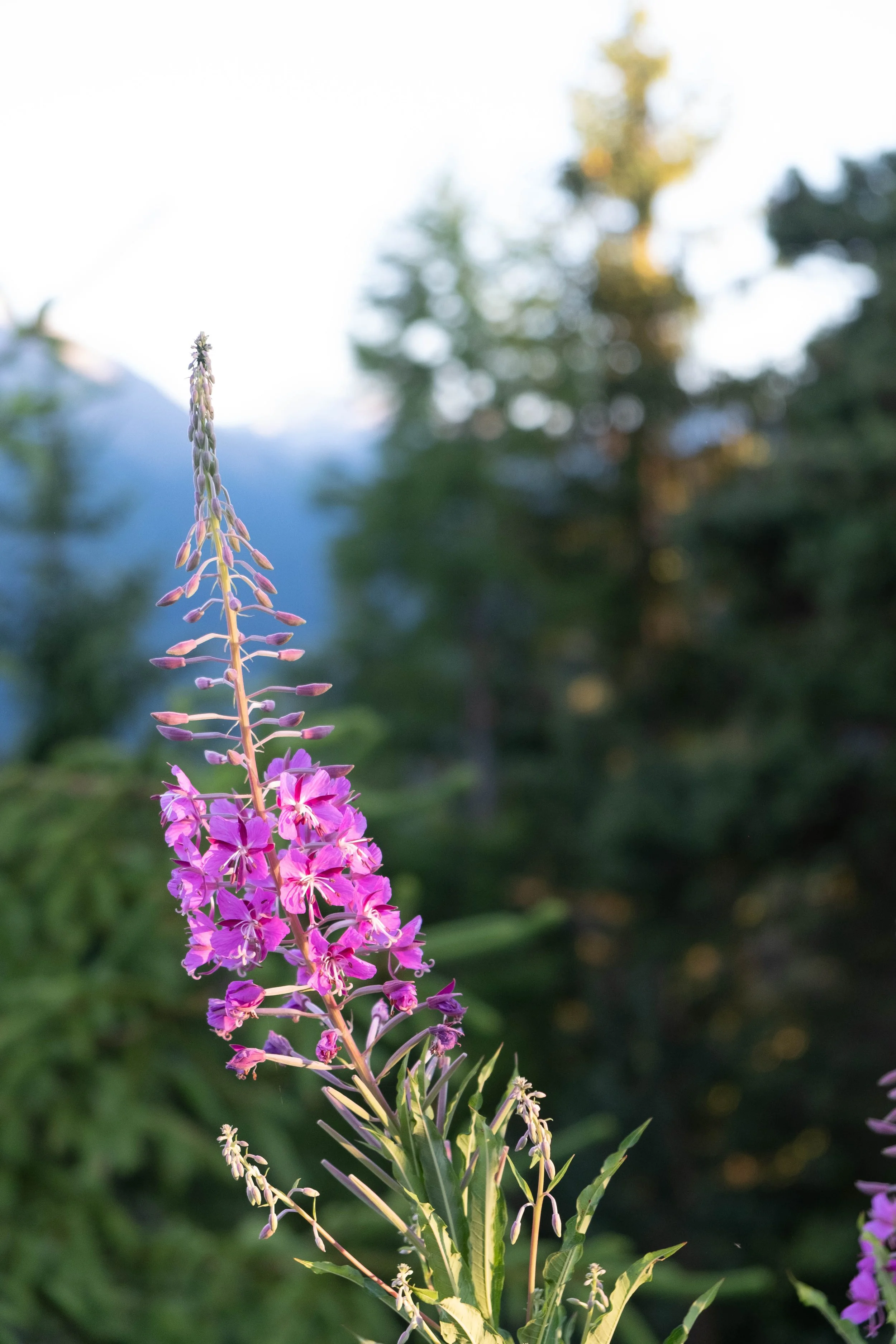
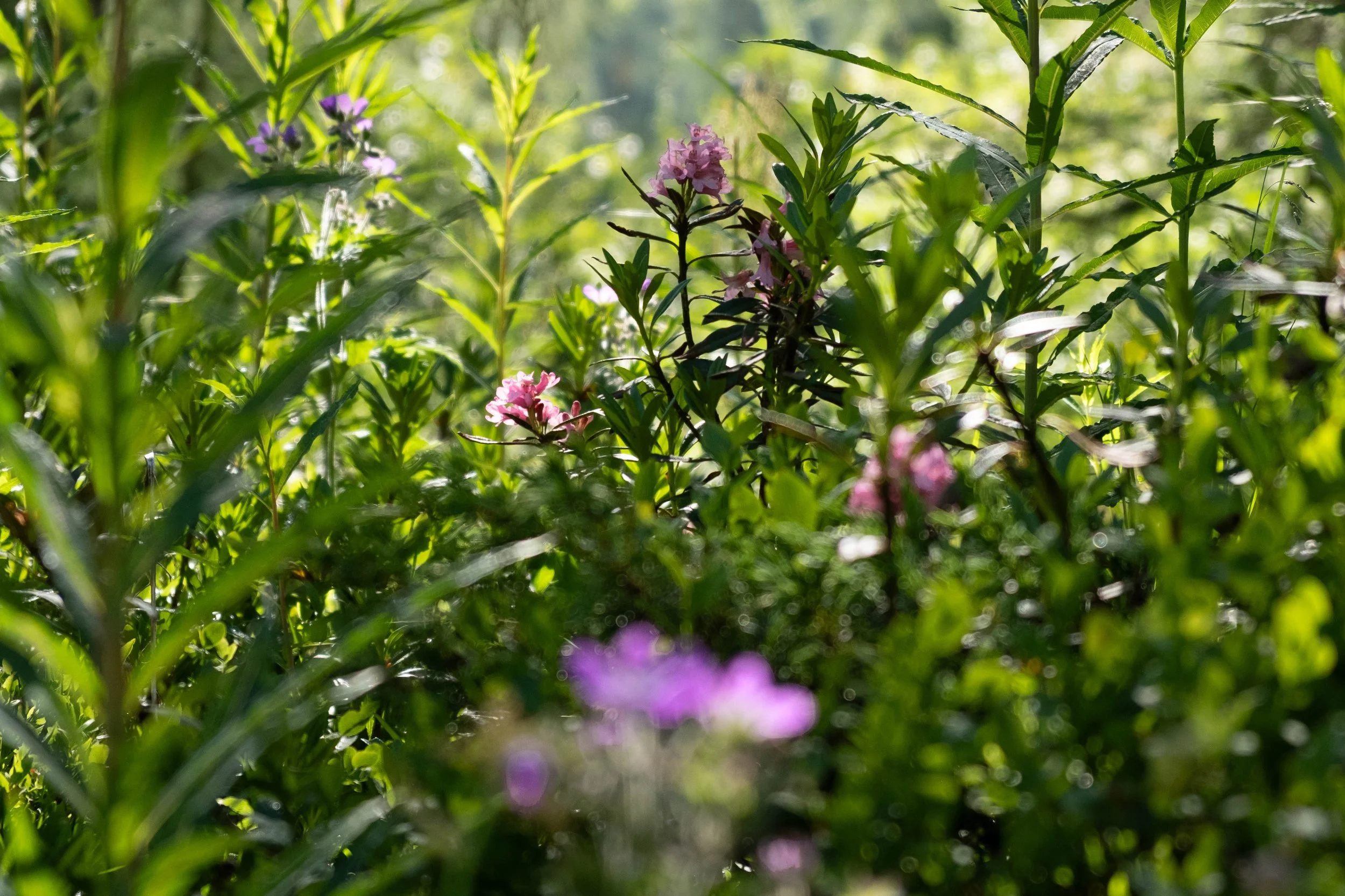
Eventually we left the cool canopy of the trees and our climb continued through meadows filled with flowers and cows with bells around their necks and toward Col du Bonhomme, which represented a break in the jagged peaks towering above us. Safe passage for hikers.
Col du Bonhomme yielded stunning views of the valley we’d just ascended and the new range of peaks and valleys ahead. We stopped here along with the majority of other hikers to eat lunch and ended up reconnecting with a hiker we’d met the day before at Col du Tricot — the first of many warm connections we would share over the course of the TMB. We talked women’s soccer and basketball and climate finance and Kilimanjaro and exchanged numbers to stay in touch.
It was a quick hike to Refuge de la Croix du Bonhomme, our final destination for the evening. Too quick! This was the day we realized we should have compressed our first four days of hiking into three — we had the energy and desire to keep going, but needed to stop since this was our lodging for the night. It’s hard to know appropriate distance, especially with ascents and descents like on the TMB, until you’ve completed a multi-day hike yourself. This was a valuable day for us to understand our preferred pacing for future experiences.
The evening deepened as we talked to other hikers and tried to figure out if we should attempt the high pass of Col des Fours or take the longer, safer low route the following day. We’d heard good reports from hikers online, but were warned away from the pass due to late lying snow on the other side when we inquired with staff at the refuge. With no WiFi, we had to weigh out our choice with less intel than we’d like. We fell asleep with a bit of unease, but decided to start up the pass in the morning to see the other side ourselves and determine if it was safe enough to descend.

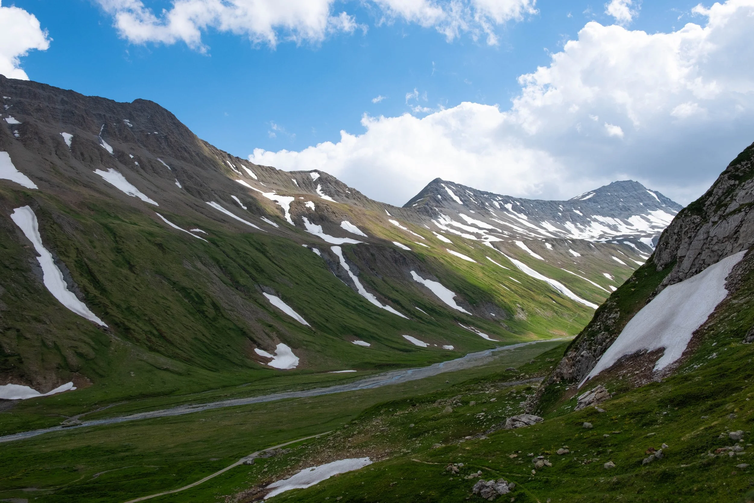
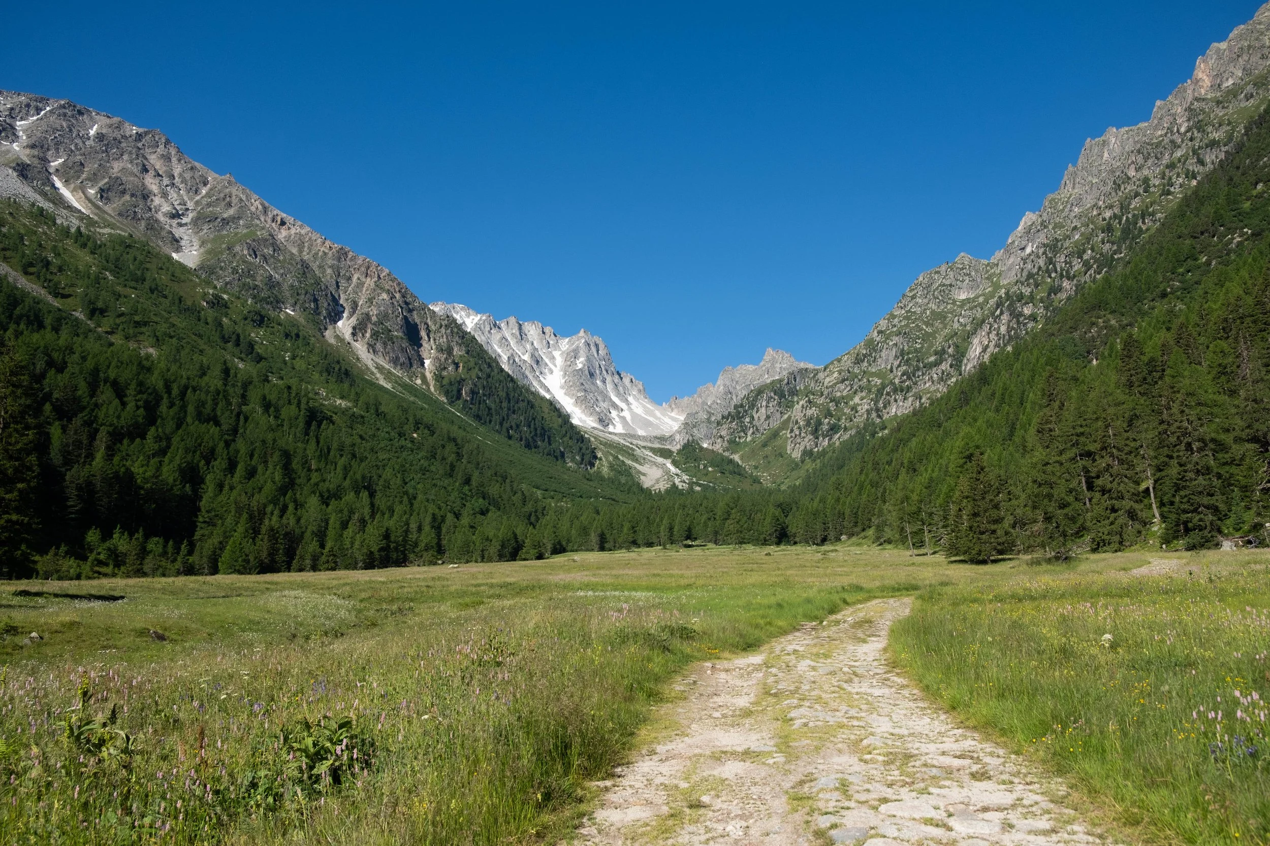
Day 3: Refuge Bonhomme to Rifugio Elisabetta | Refugio Elisabetta, Italy
Distance: 9.5 miles | Ascent/Descent: +3,182 ft/-4,124 ft
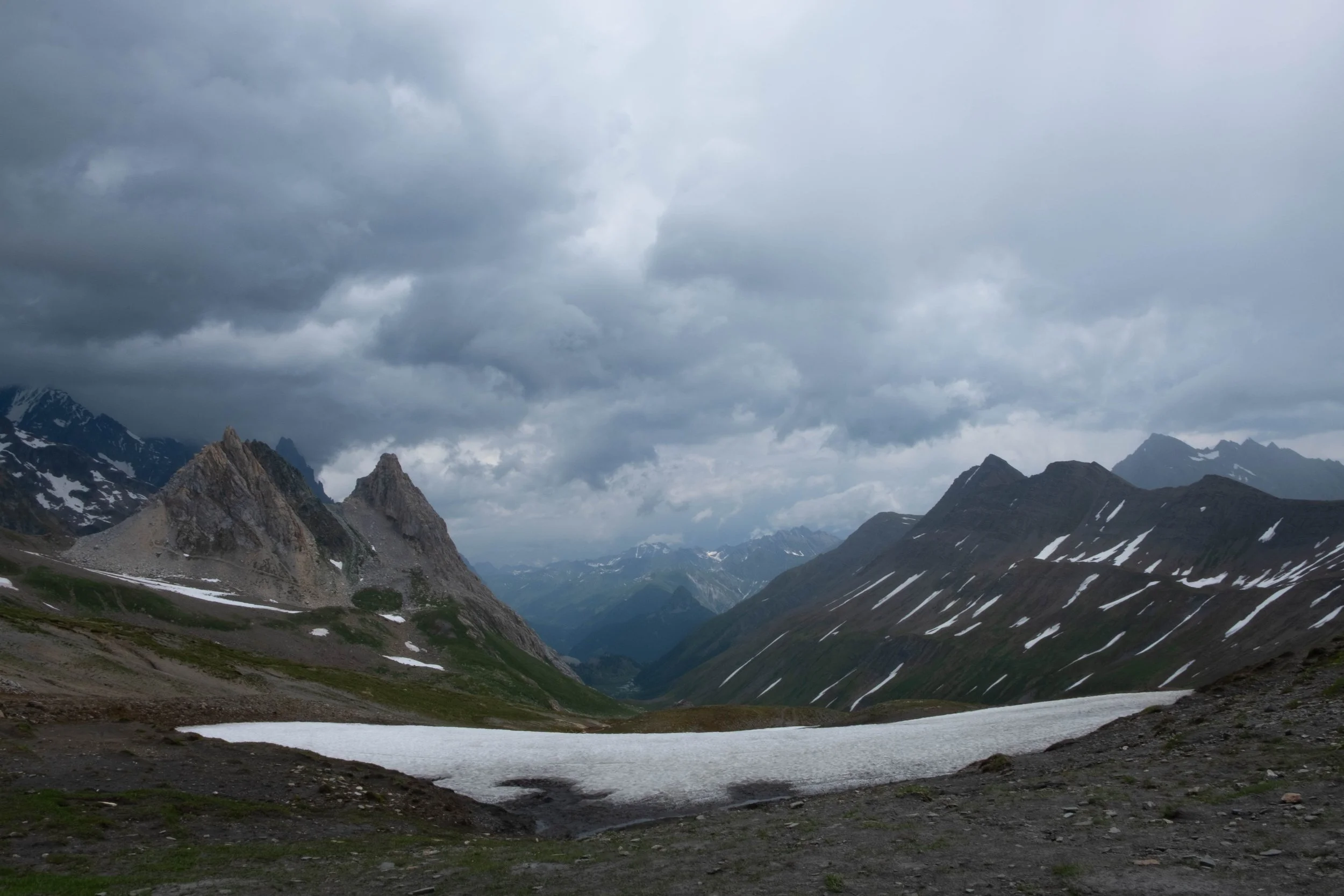
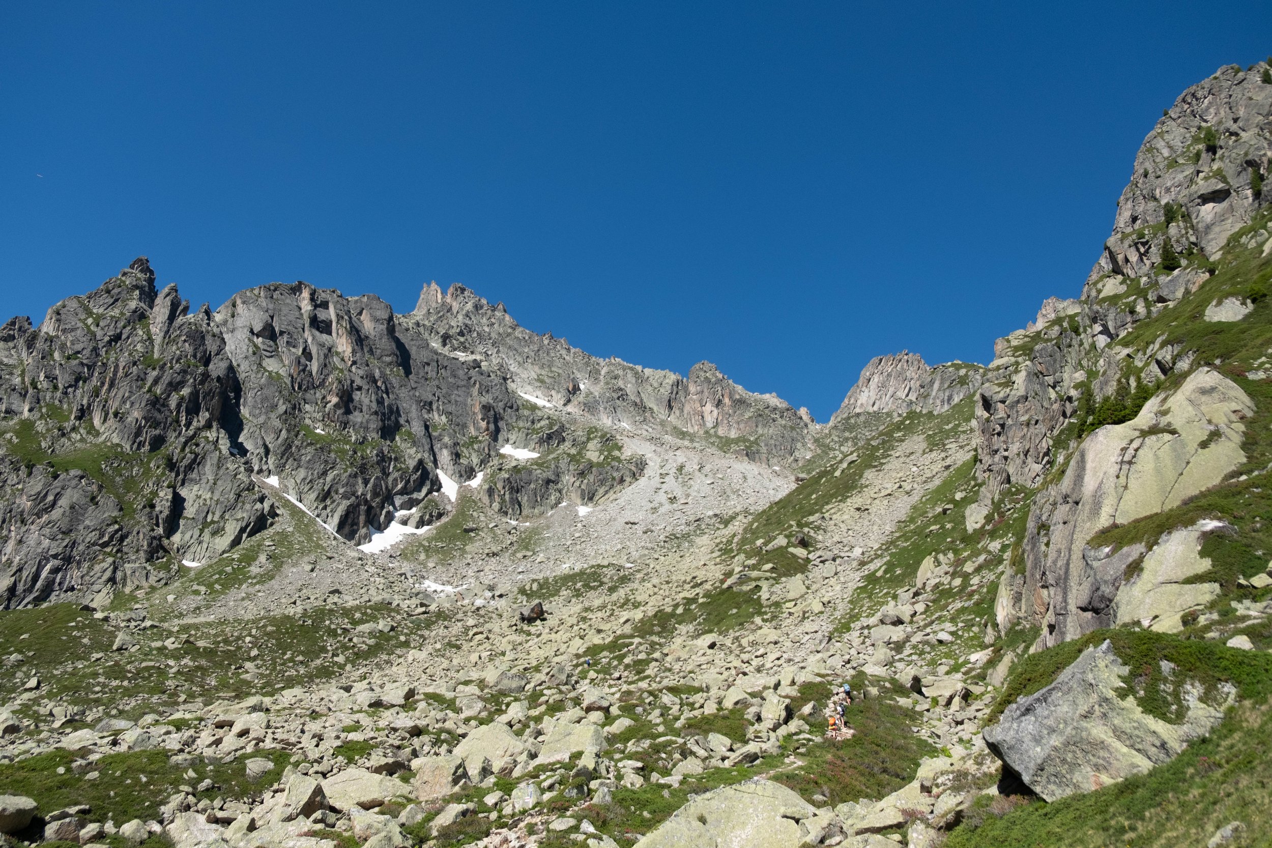
We woke early, eager to get out on the trail. We settled into an easy pace for the short climb up Col des Fours, crossing a few late-lying snowfields. Once at the top, dramatic grey clouds were swiftly gathering, permitting only a few beams of sunlight to shine through, highlighting the green hills far below us. A crisp wind blew against our faces.
There was indeed a sizable snowfield left that we had to cross almost immediately if we were to go this way. We surveyed our options alongside a couple other early morning hikers and decided to go for it. The crossing required careful footing and concentration — I would have loved my microspikes, which I’d left behind in Cham last minute — but we made it and the remainder of the descent was smooth sailing.
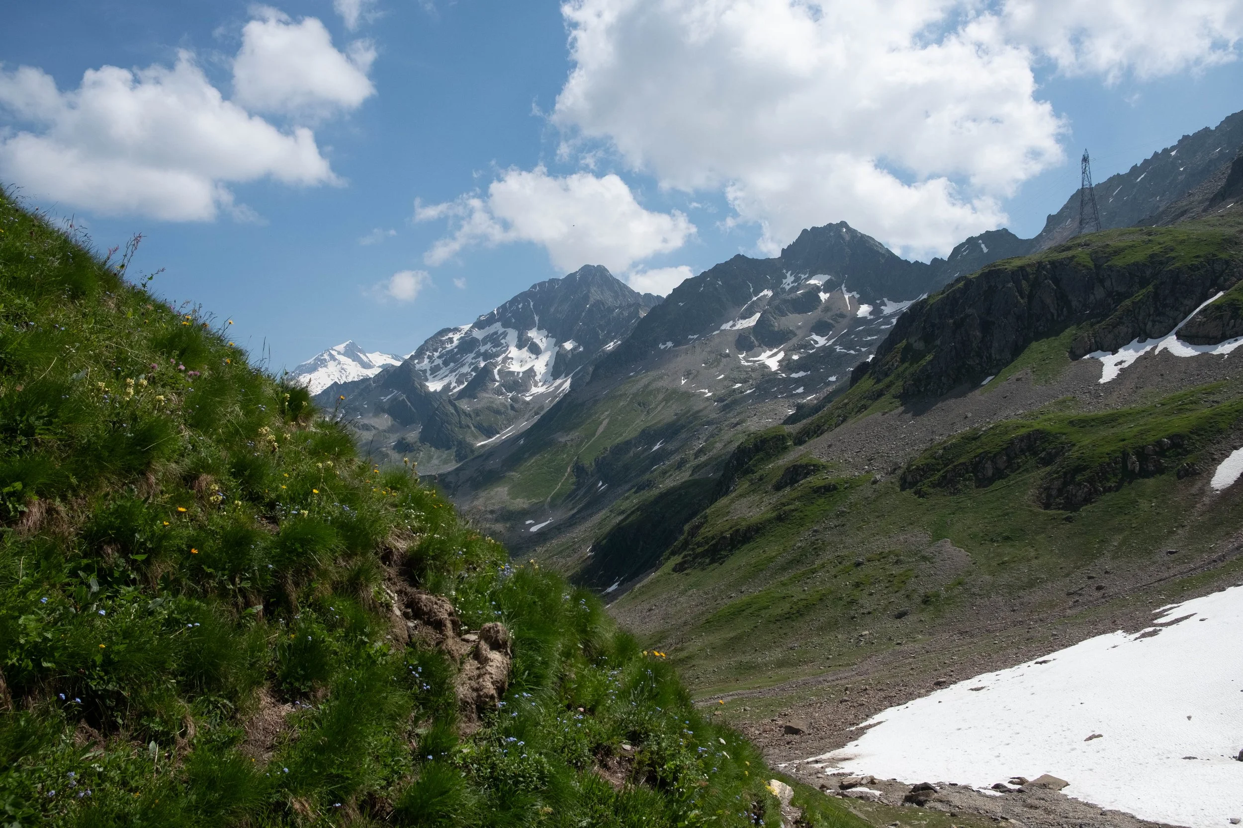
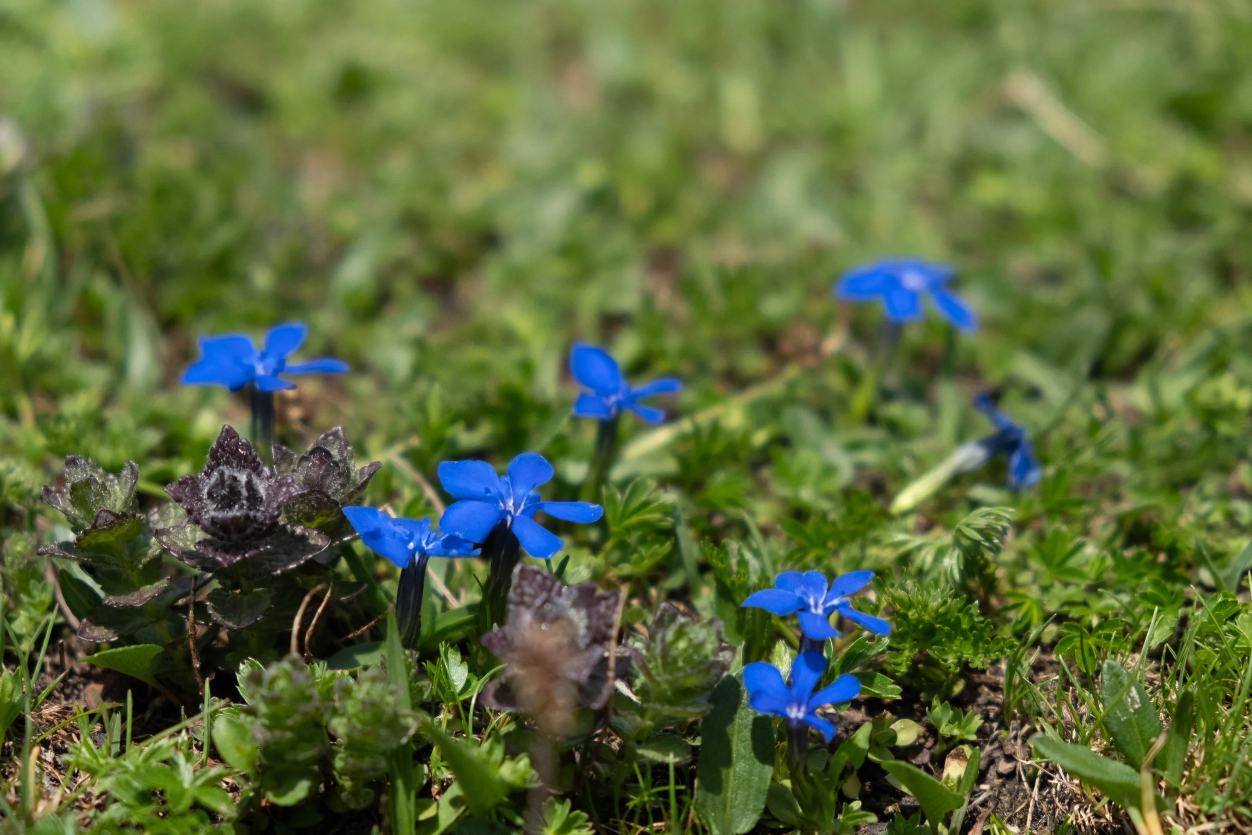
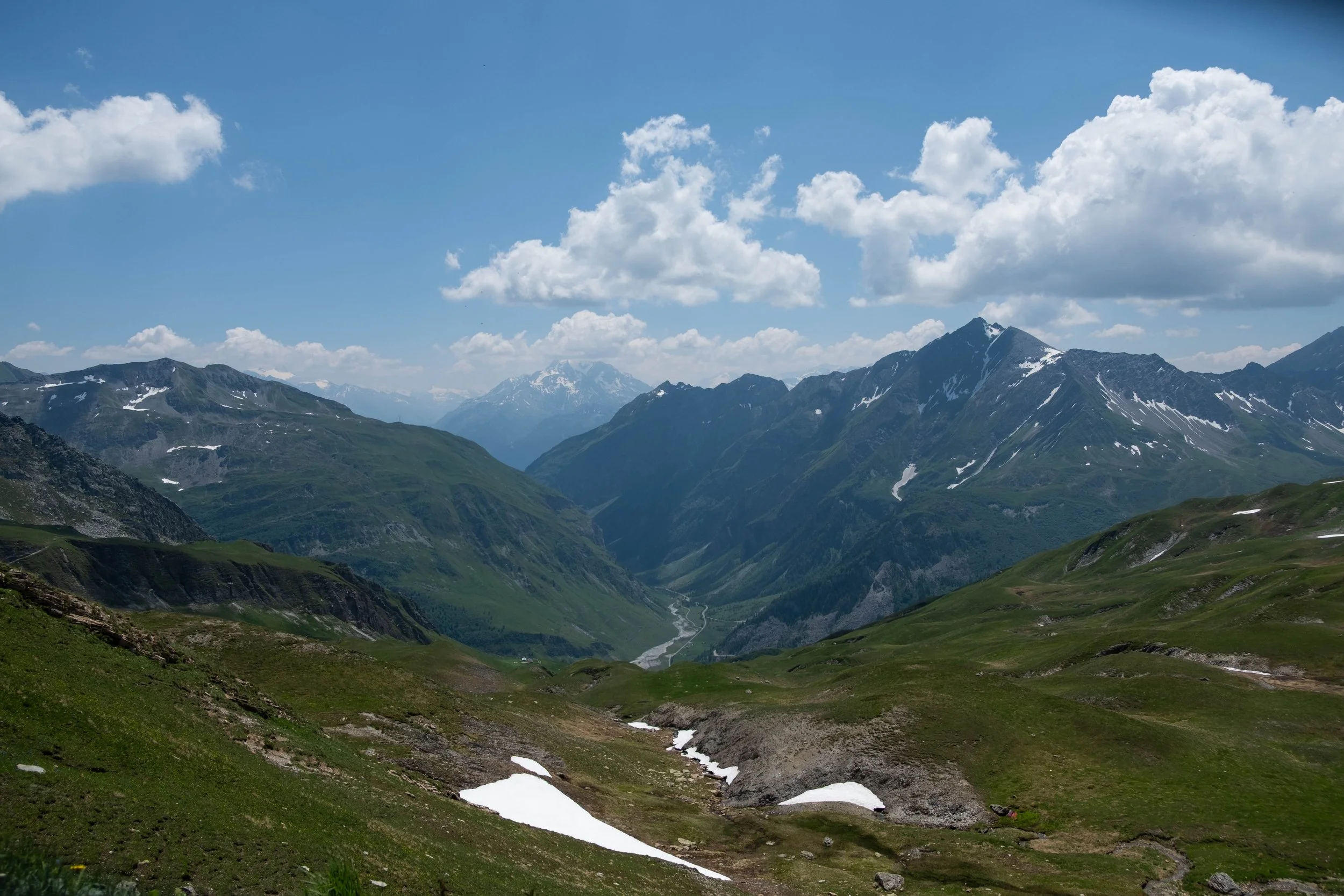
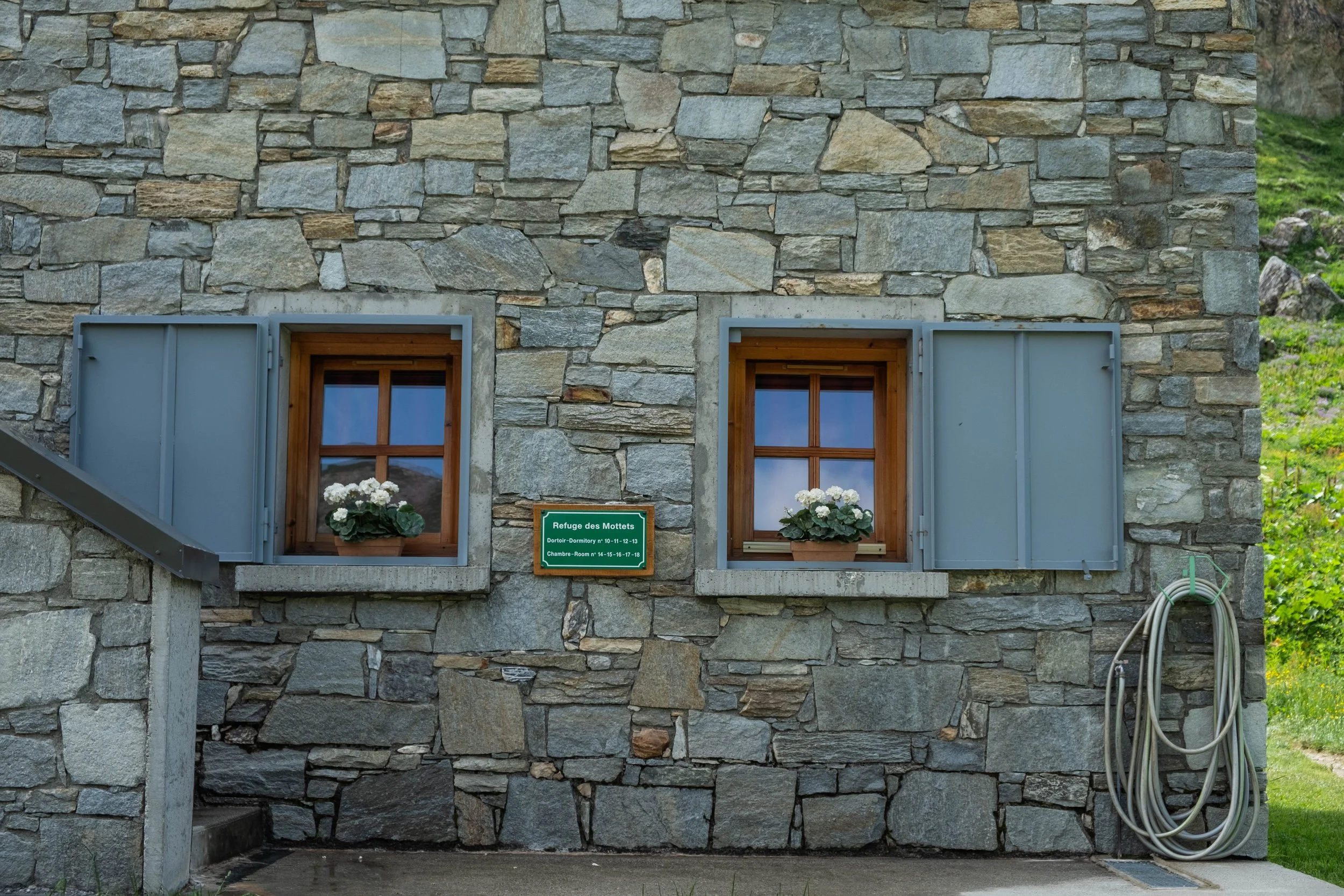
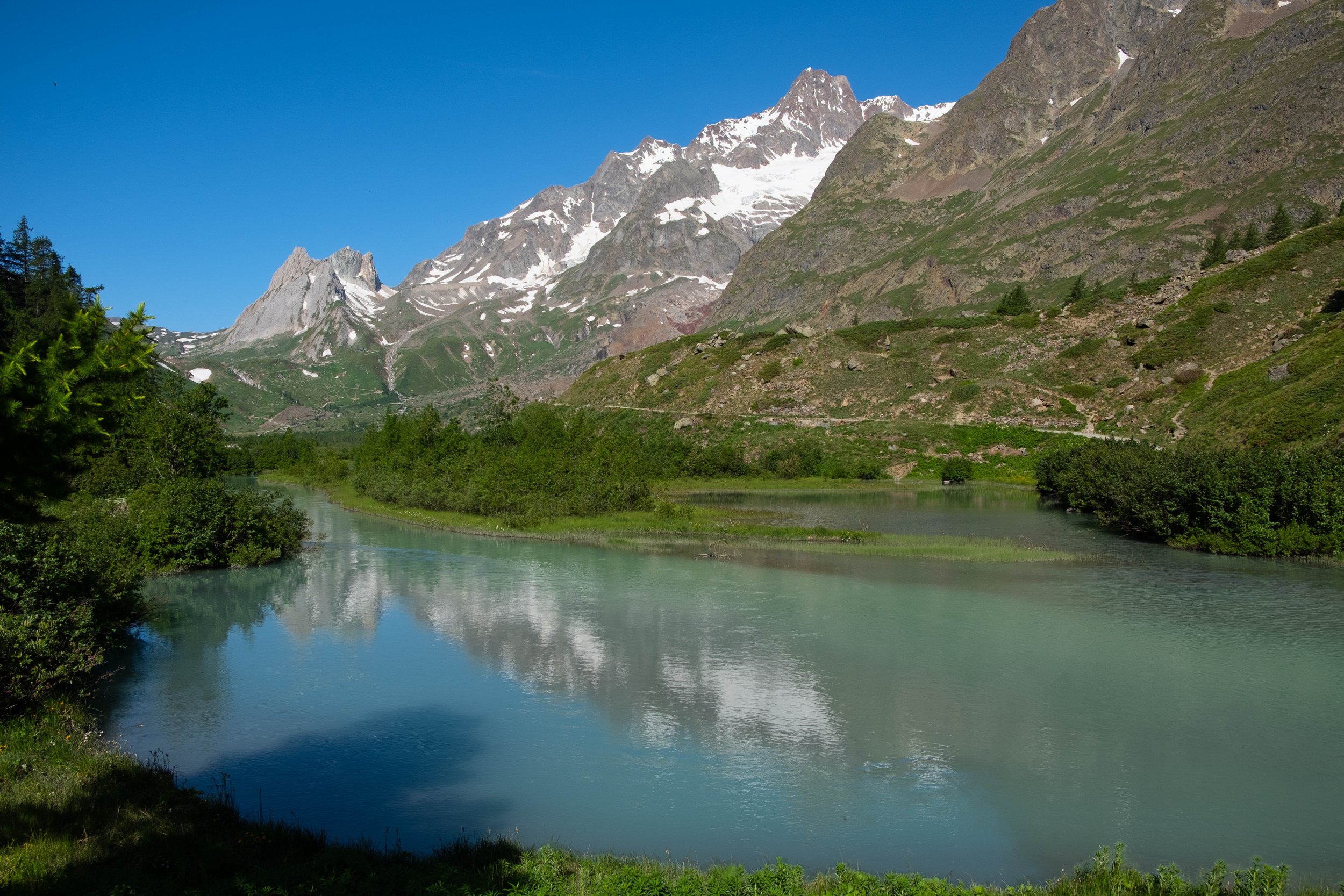
About halfway down, we got hit with the first precipitation of the day, a brief but furious shower that forced us to pull out our rain gear. As the sun peeked back out, we passed stunning waterfalls, melting snow bridges, and early season gentian. We passed through a working dairy farm (baby cows!) and stopped for what I still believe to be the freshest, lightest, fluffiest yogurt I’ve ever tasted at Refuge Mottets.
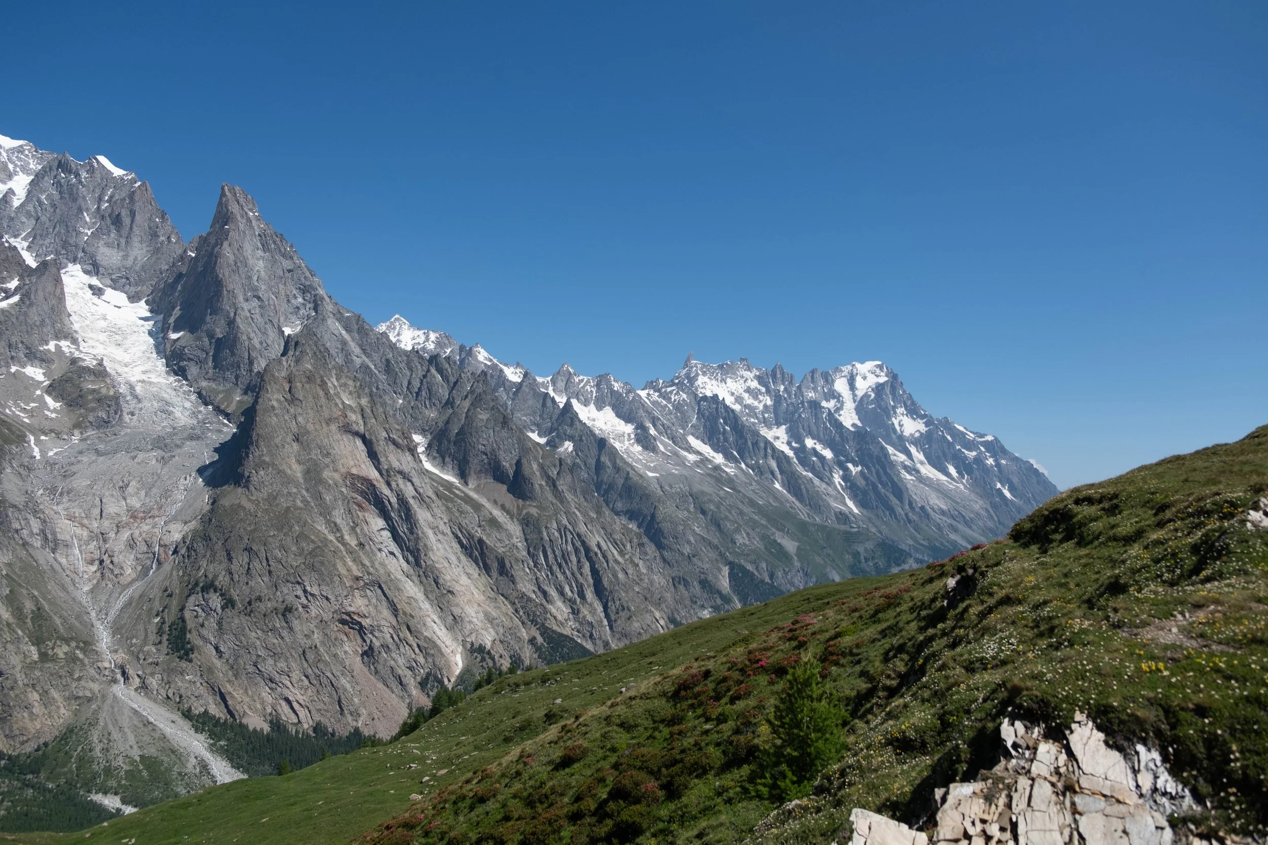
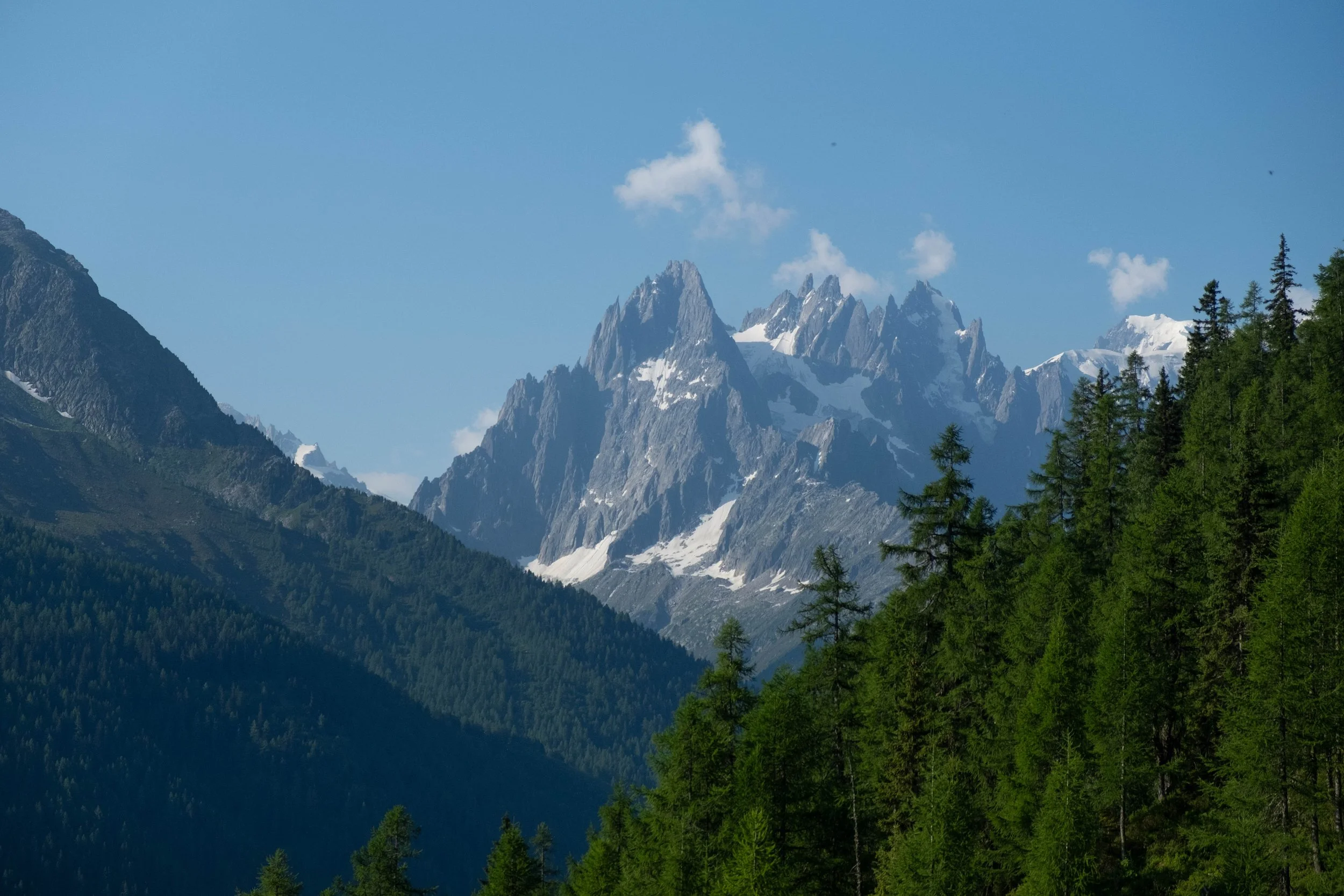
During our climb up Col de la Seigne, which marked the boundary between France and Italy, the rain came back… and brought hail with it. It never feels great to be *ascending* a pass while the weather is getting worse, but we kept an eye on the horizon and it thankfully blew over before we made it to the top.
We meandered down into Italy through a gorgeous valley that we dubbed “The Shire for Marmots.” Marmots in the Alps look a bit like small beavers in their faces and the hills were dotted with their burrows.
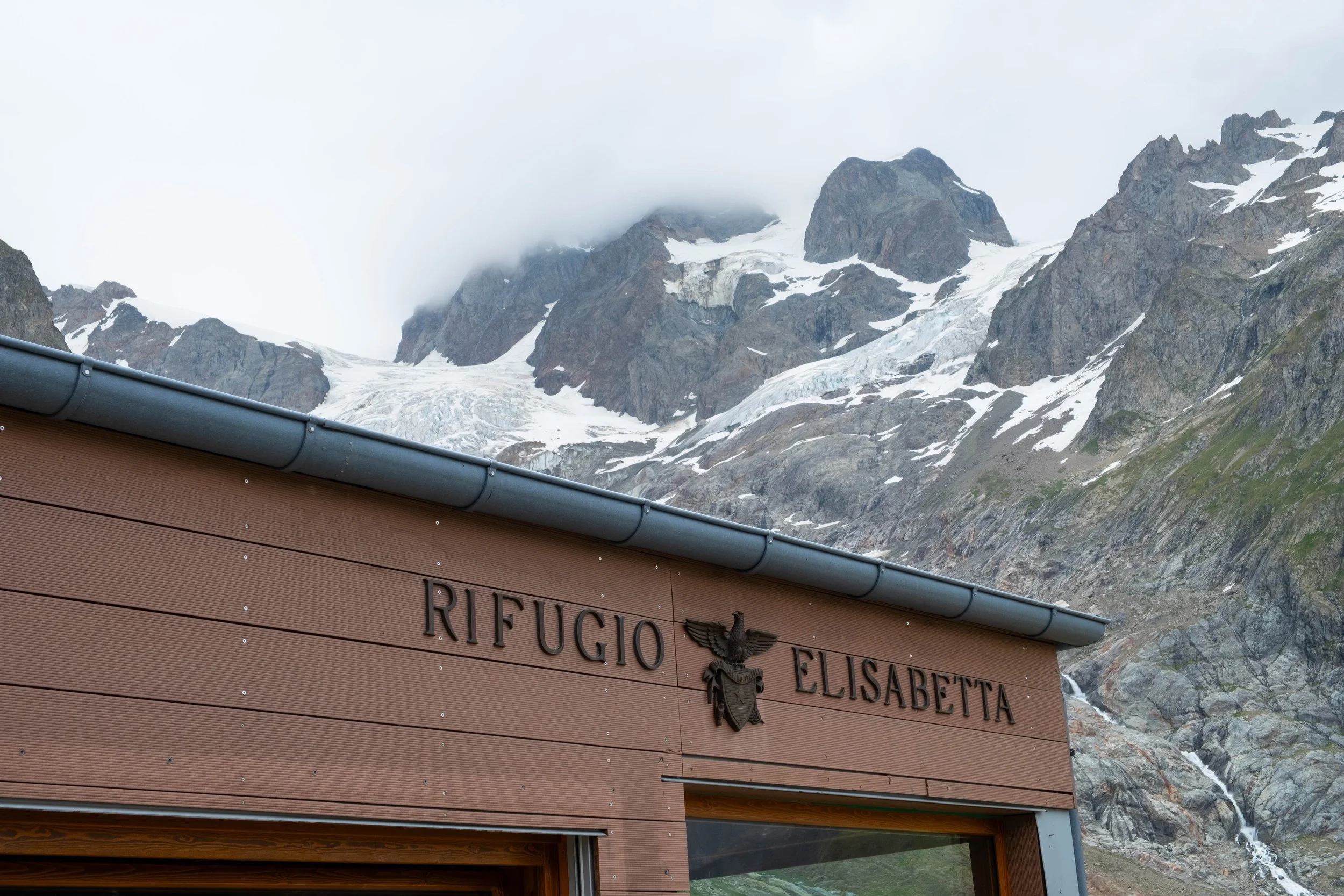
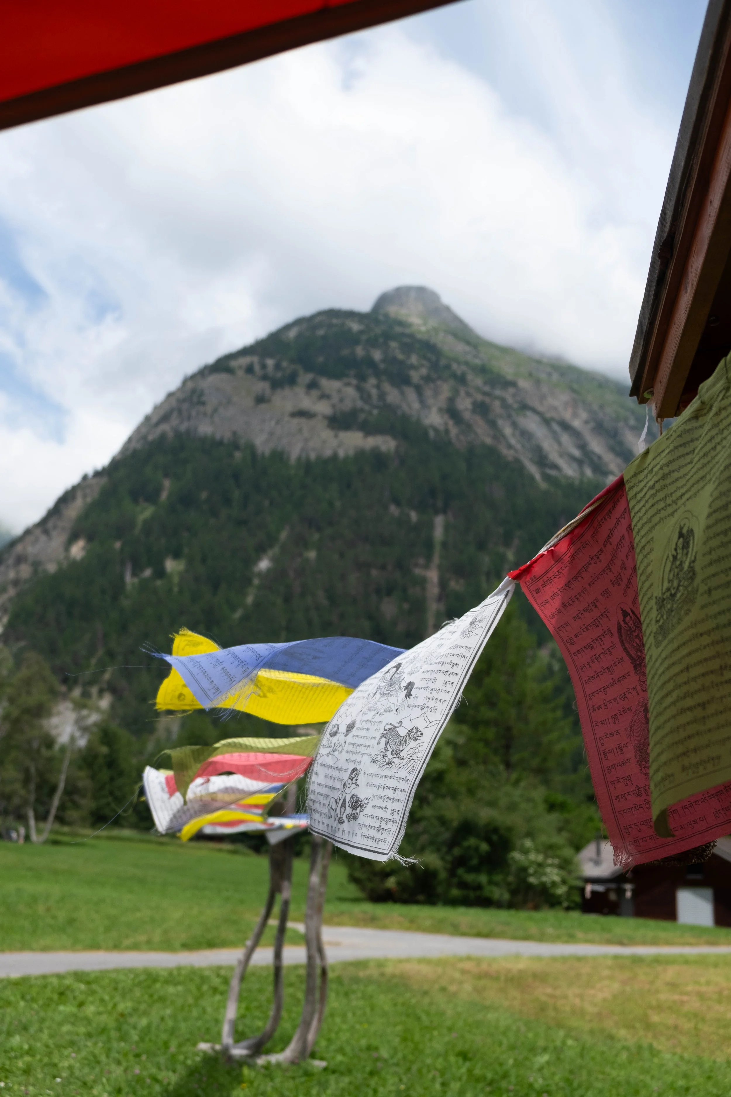
The day concluded at Refugio Elisabetta, a place that is just as whimsical as its name. Perched high above the valley, in the shadow of two glaciers, it was a glorious place to call home for a night. After a dinner filled with conversations, we finished the evening on the porch with a bar of chocolate, a glass of Italian wine and a shot of Amaro while watching the sunset.

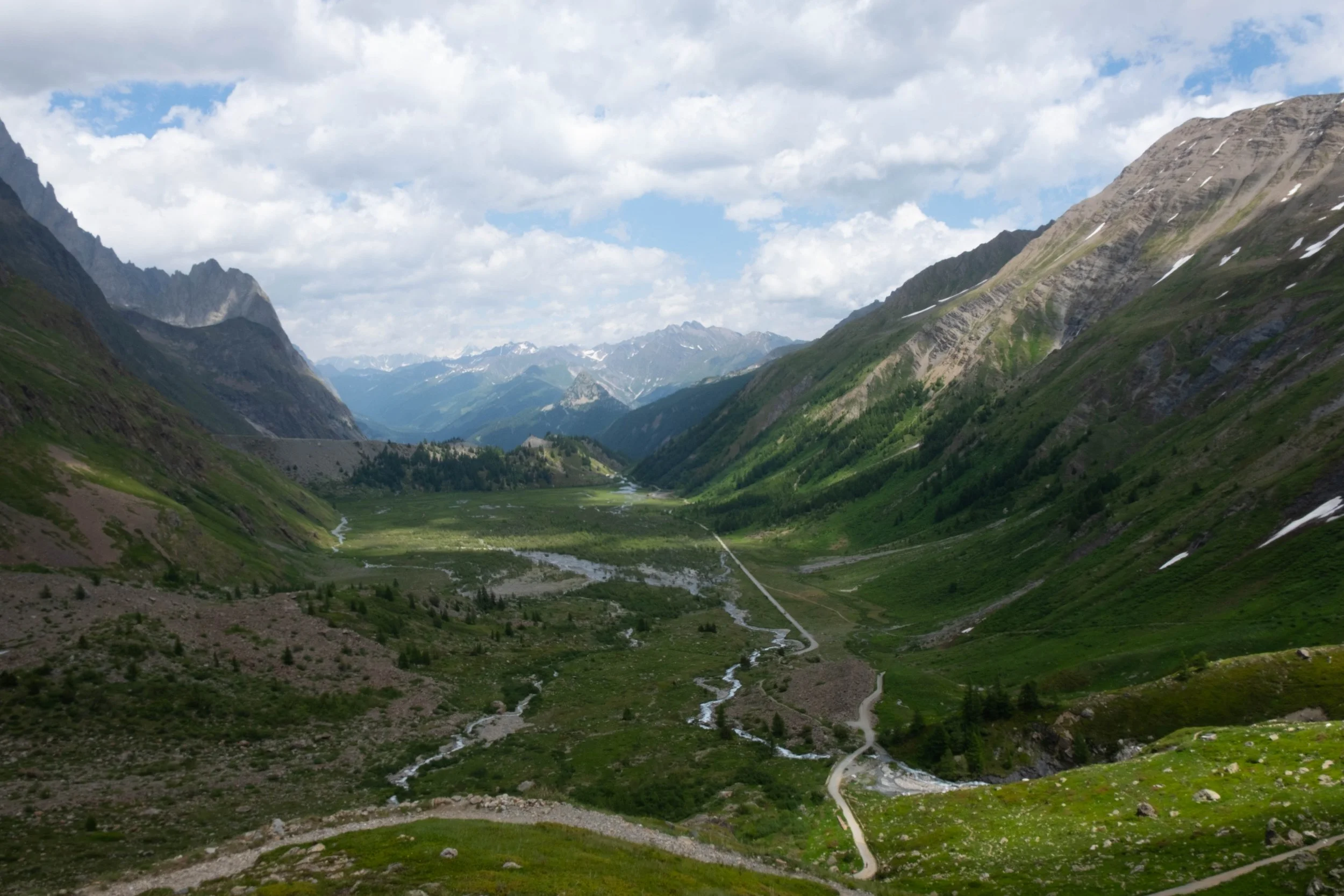
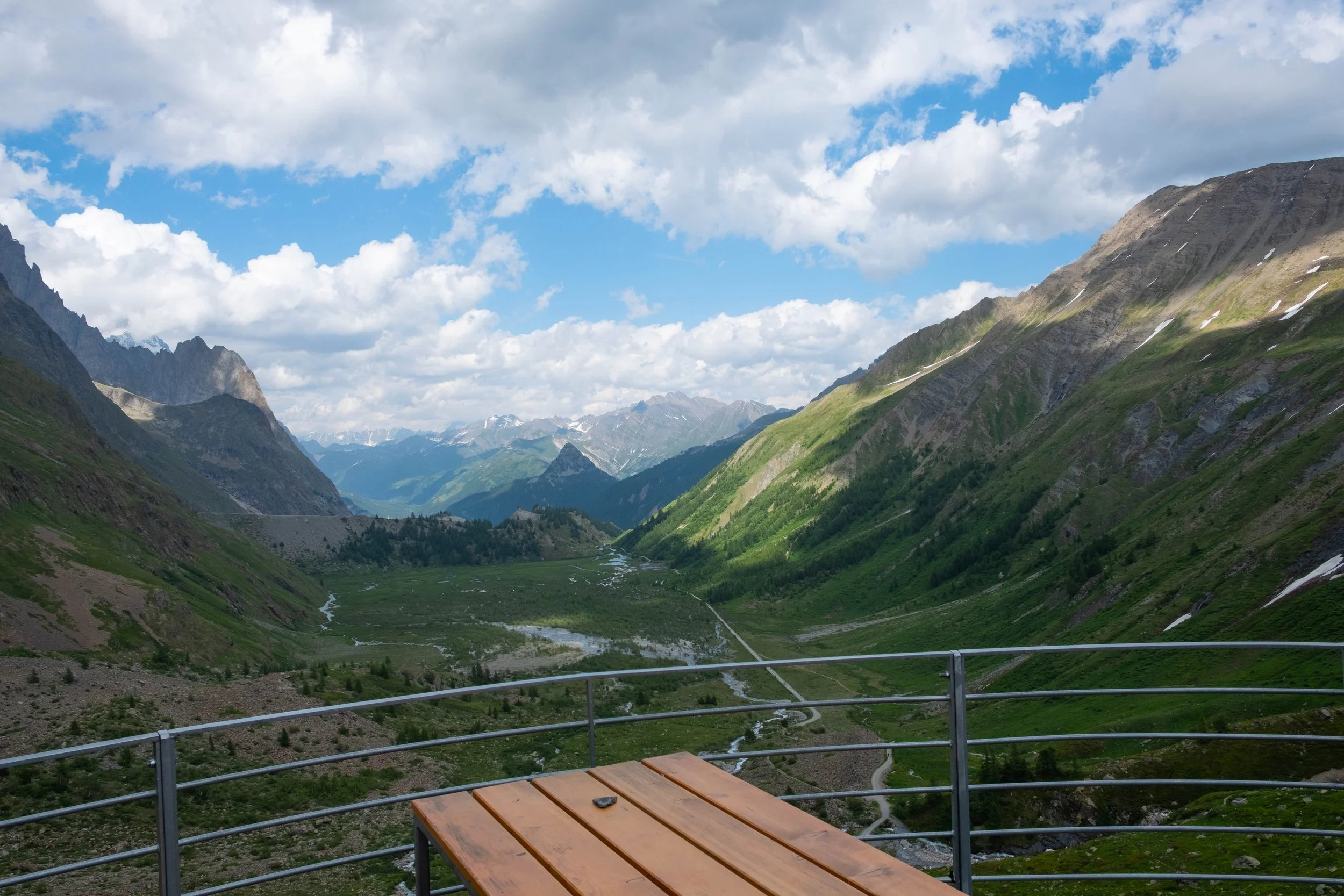

Day 4: Rifugio Elisabetta to Courmayeur | Hotel Bouton d’Or, Italy
Distance: 9.5 miles | Ascent/Descent: +1,745 ft/-2,985 ft
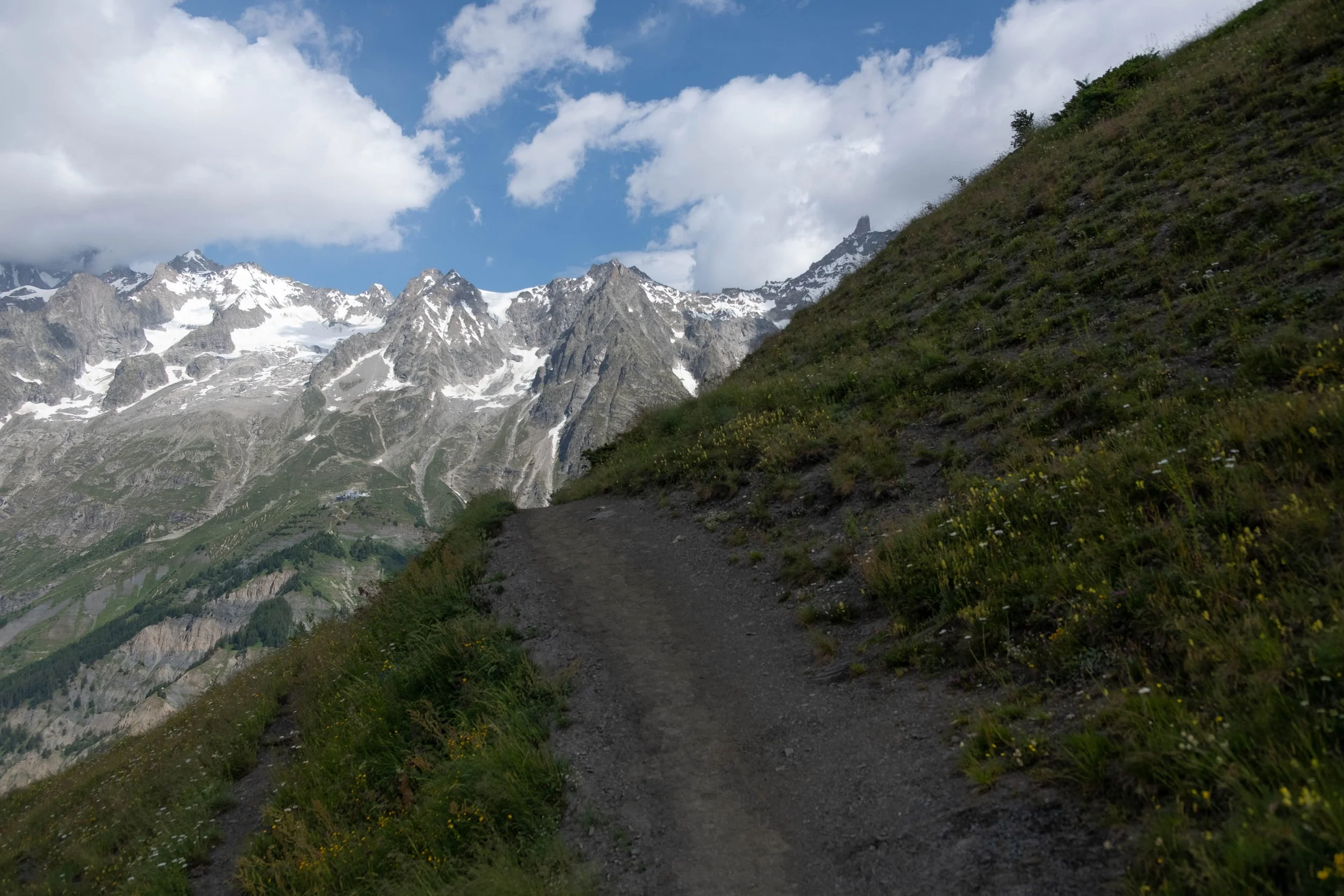
Breakfast had not been friendly to me as a gluten-free eater, so we made an early pit-stop about an hour into our day at Cabane du Combal, a charming A-frame that was serving cappuccinos, eggs, and peanut butter meringue cookies.
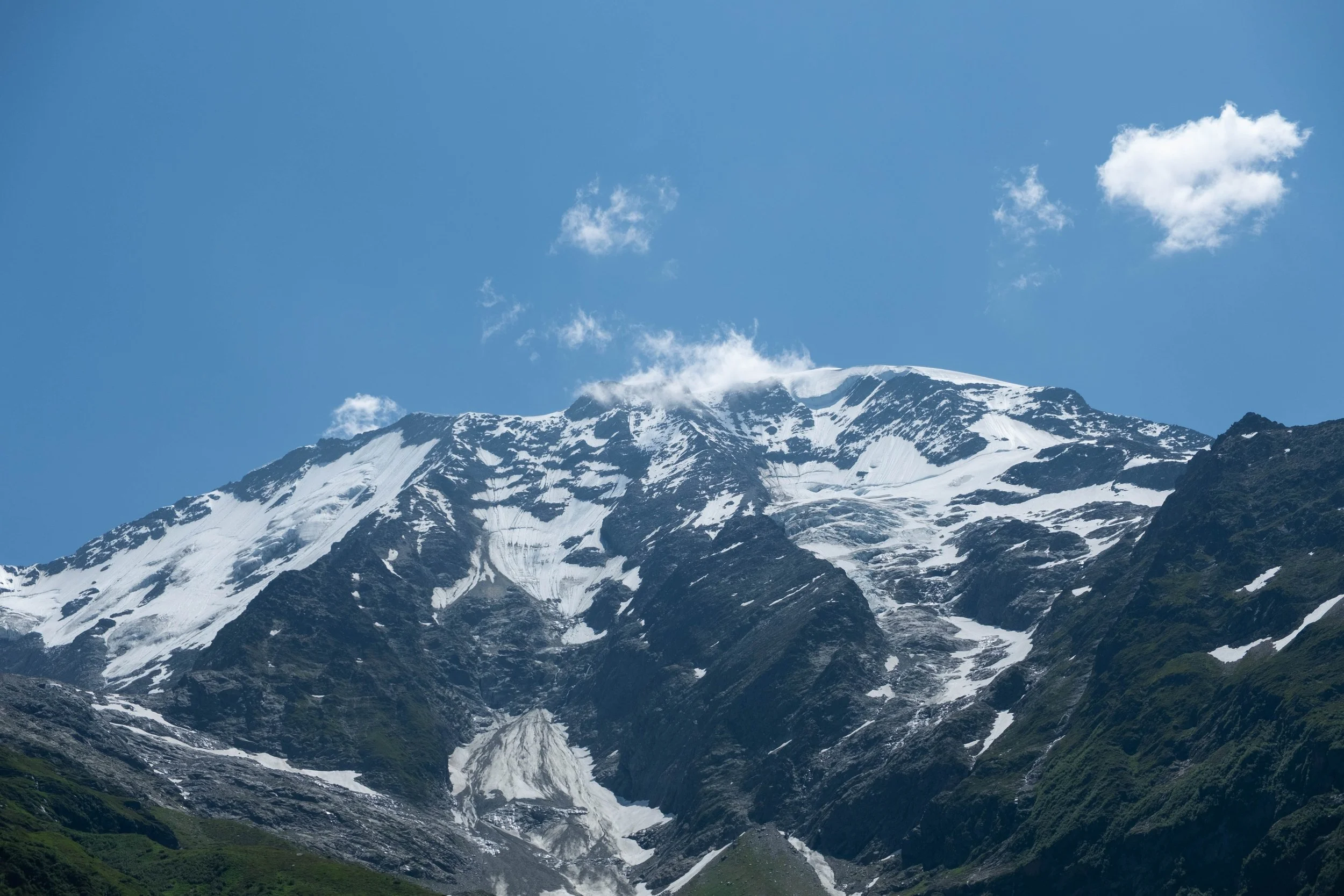
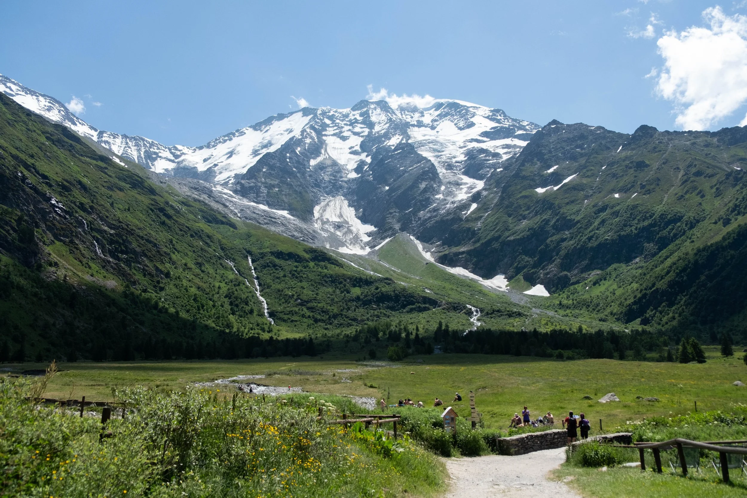
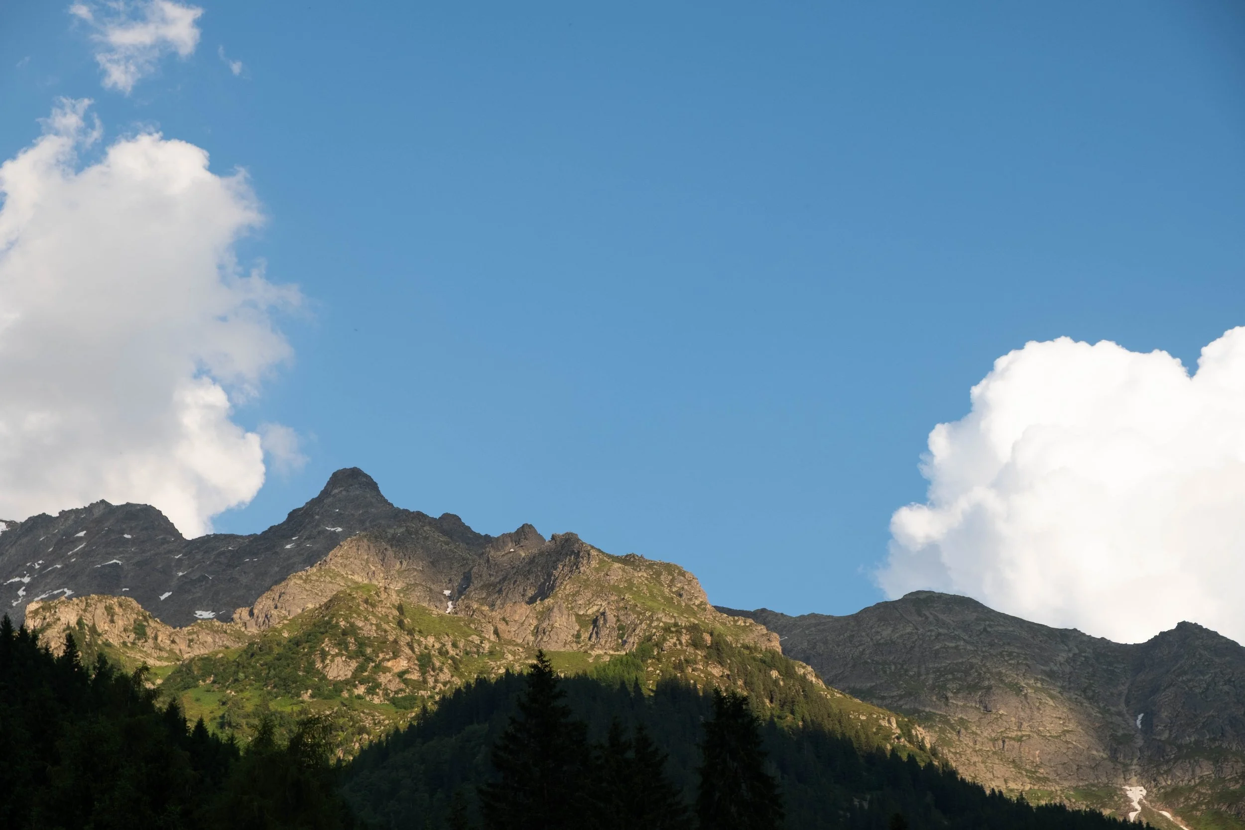
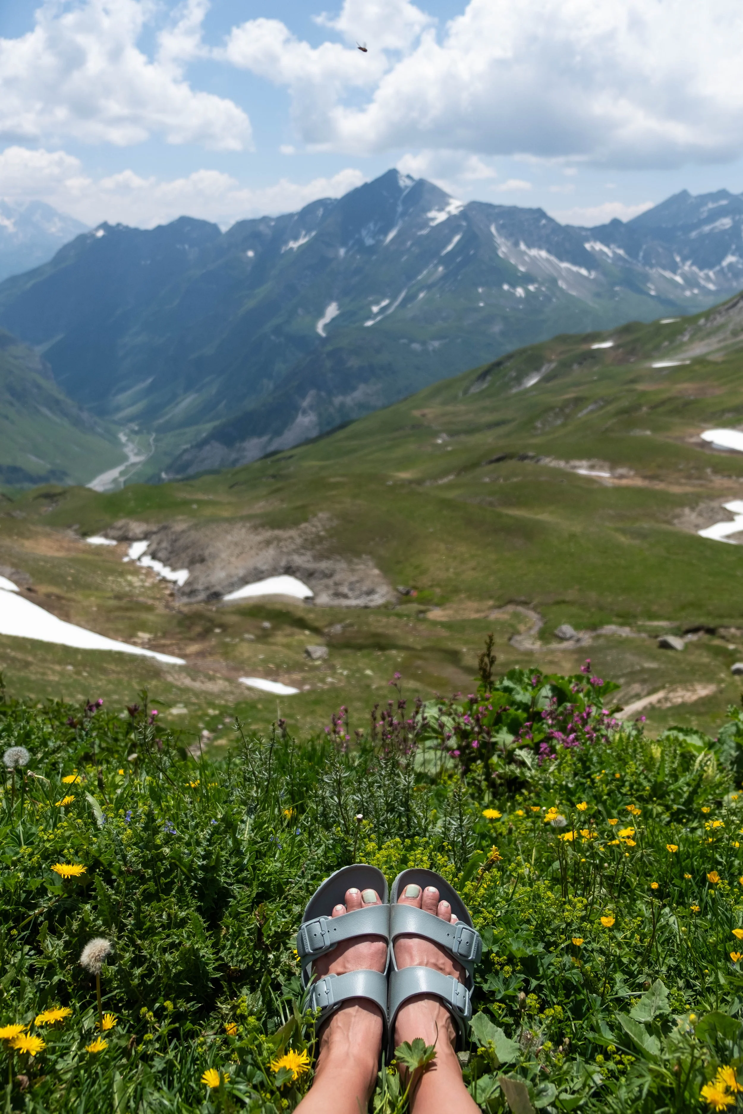
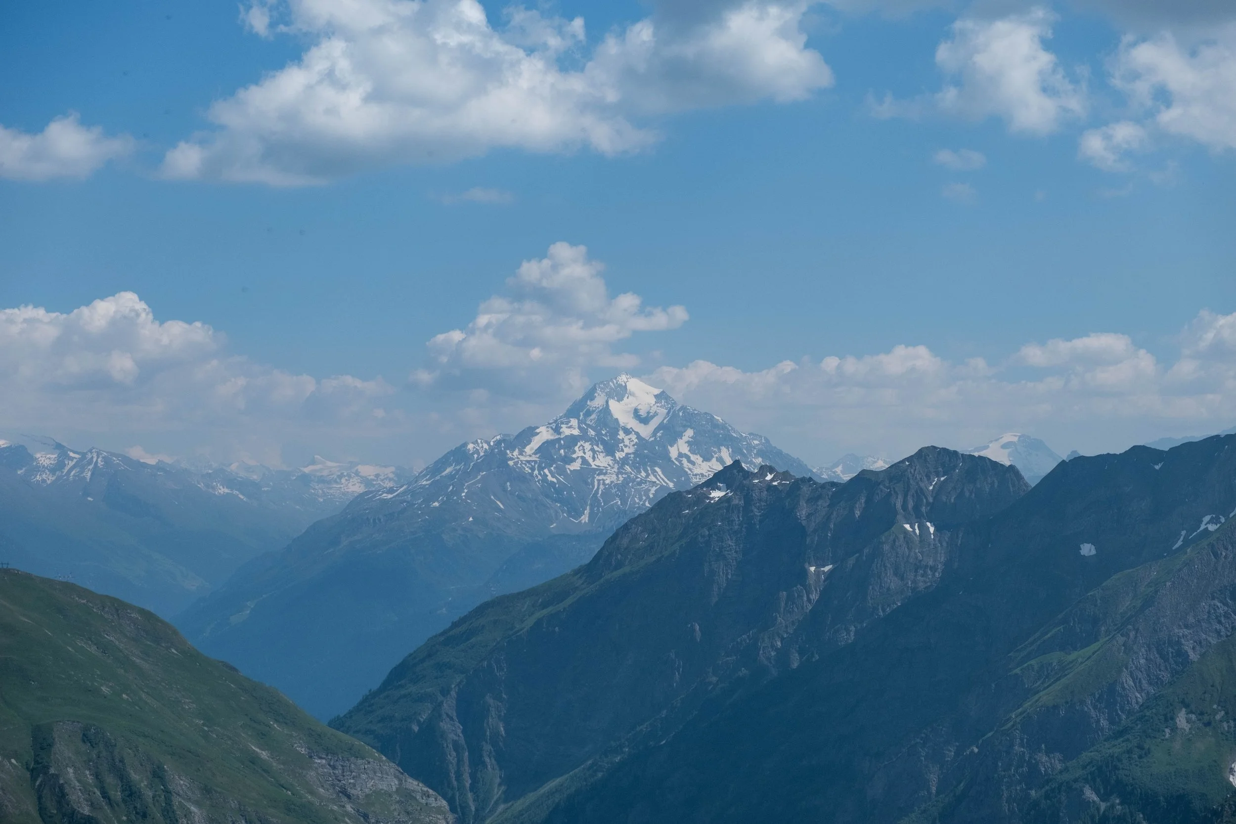
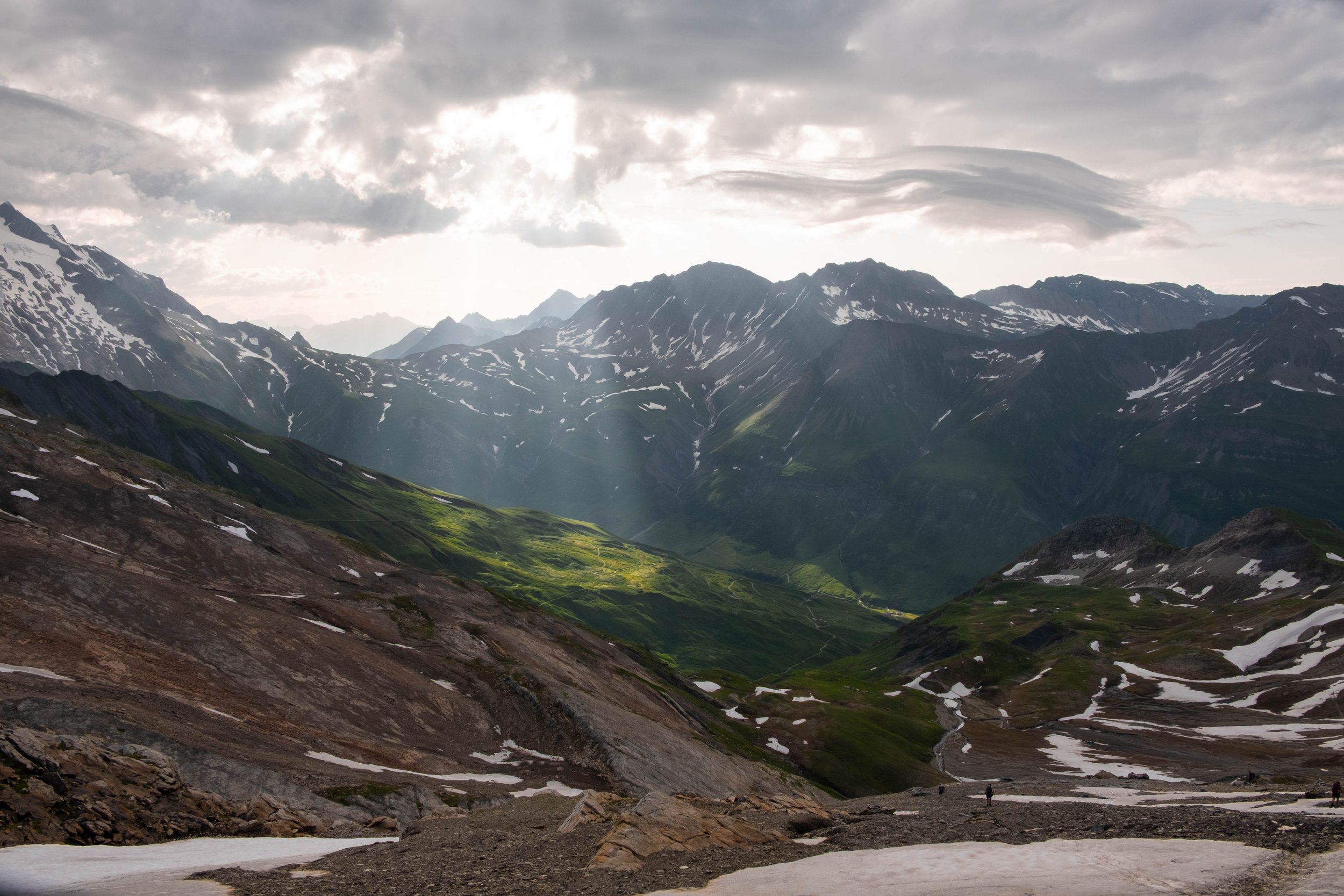
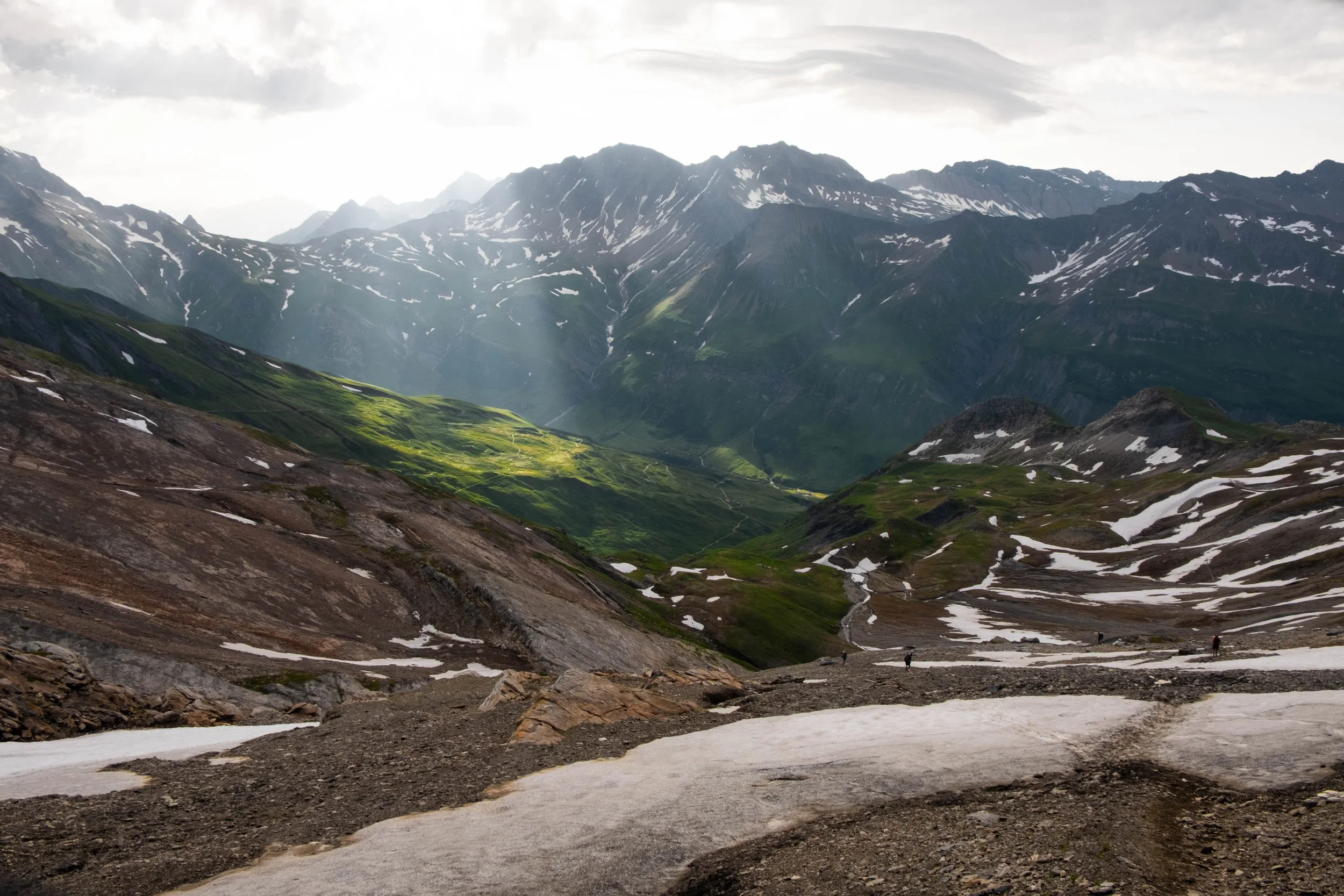
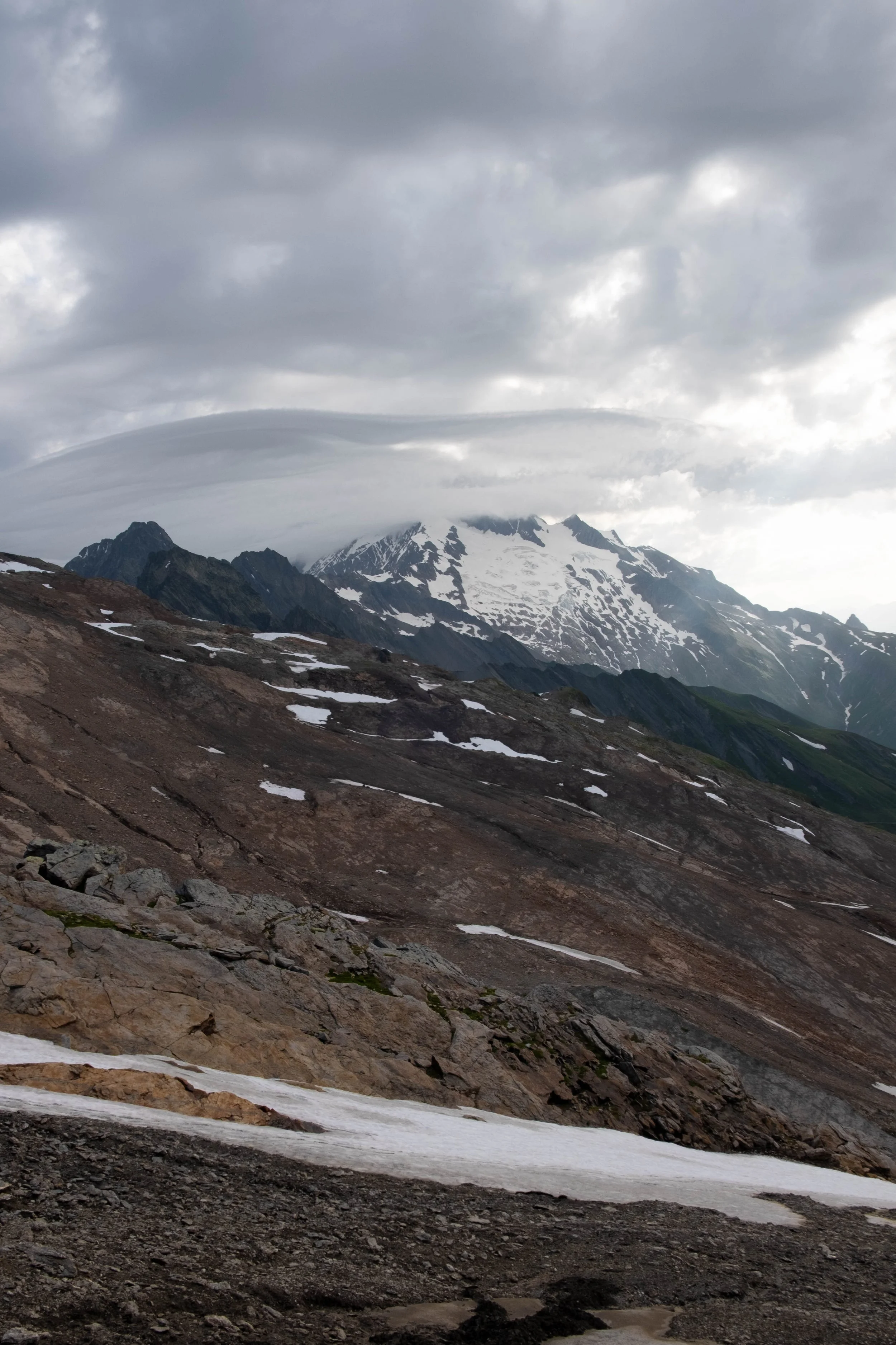
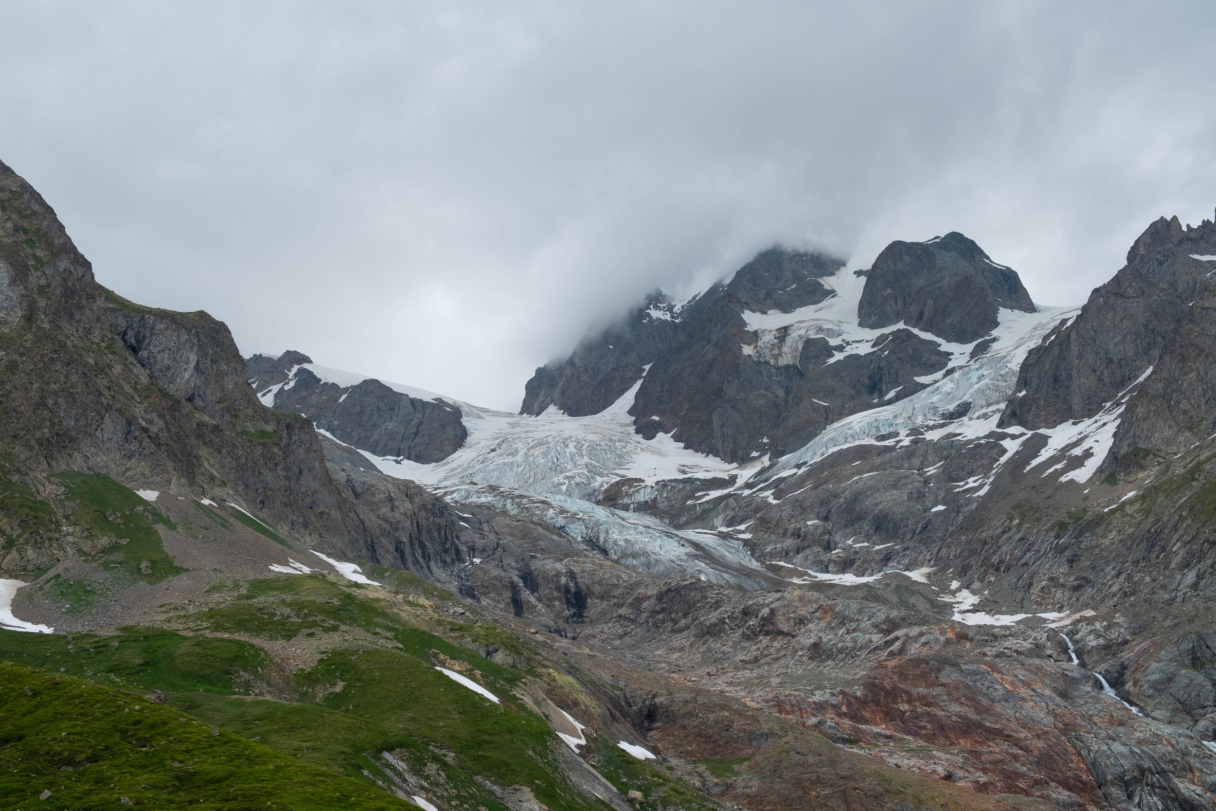
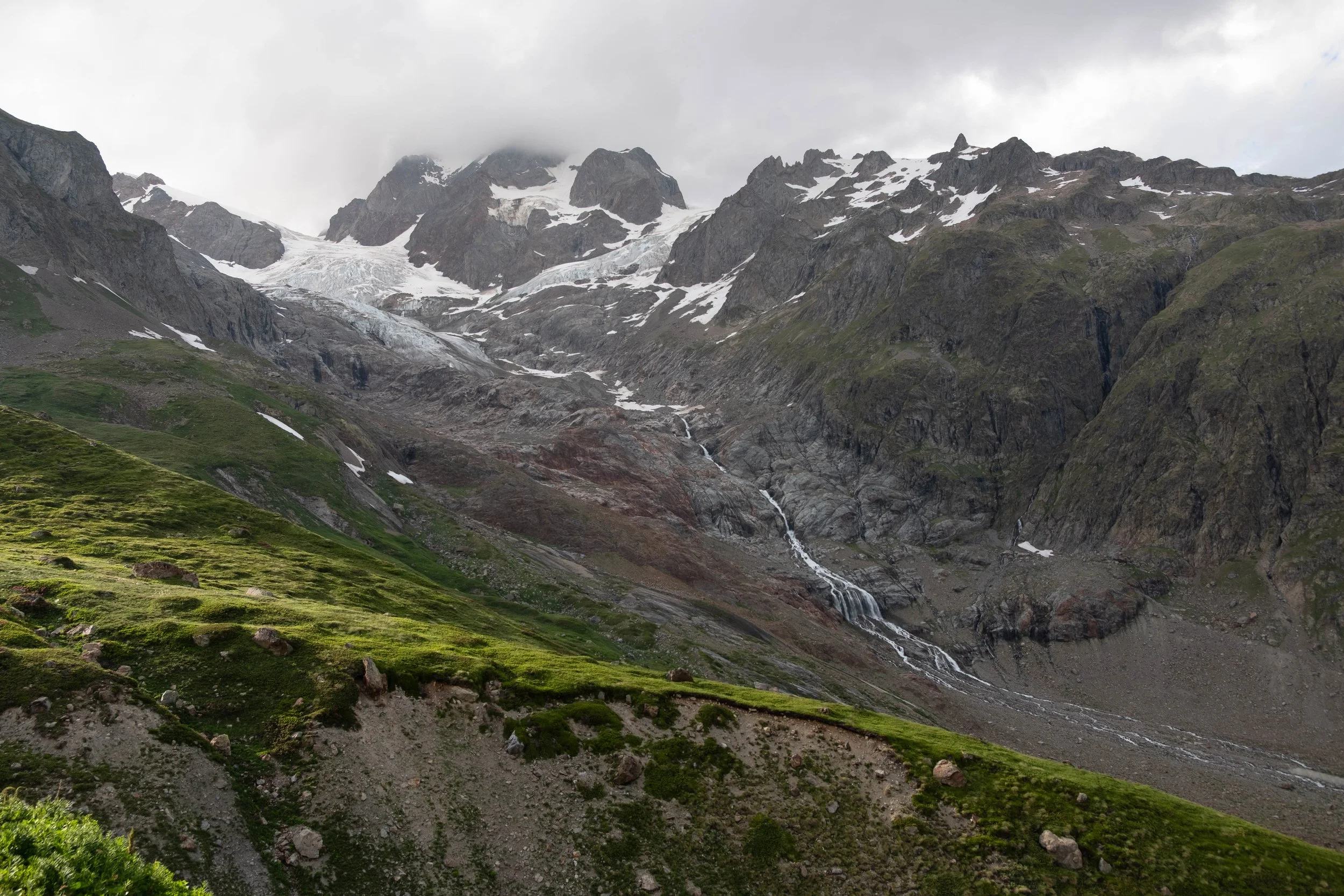
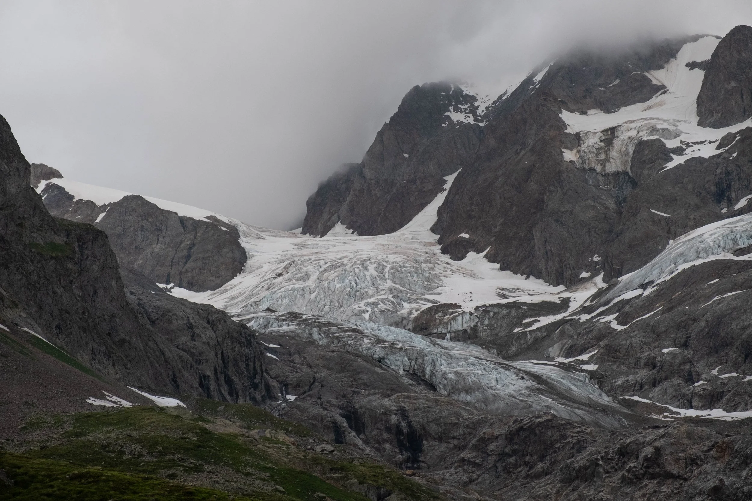
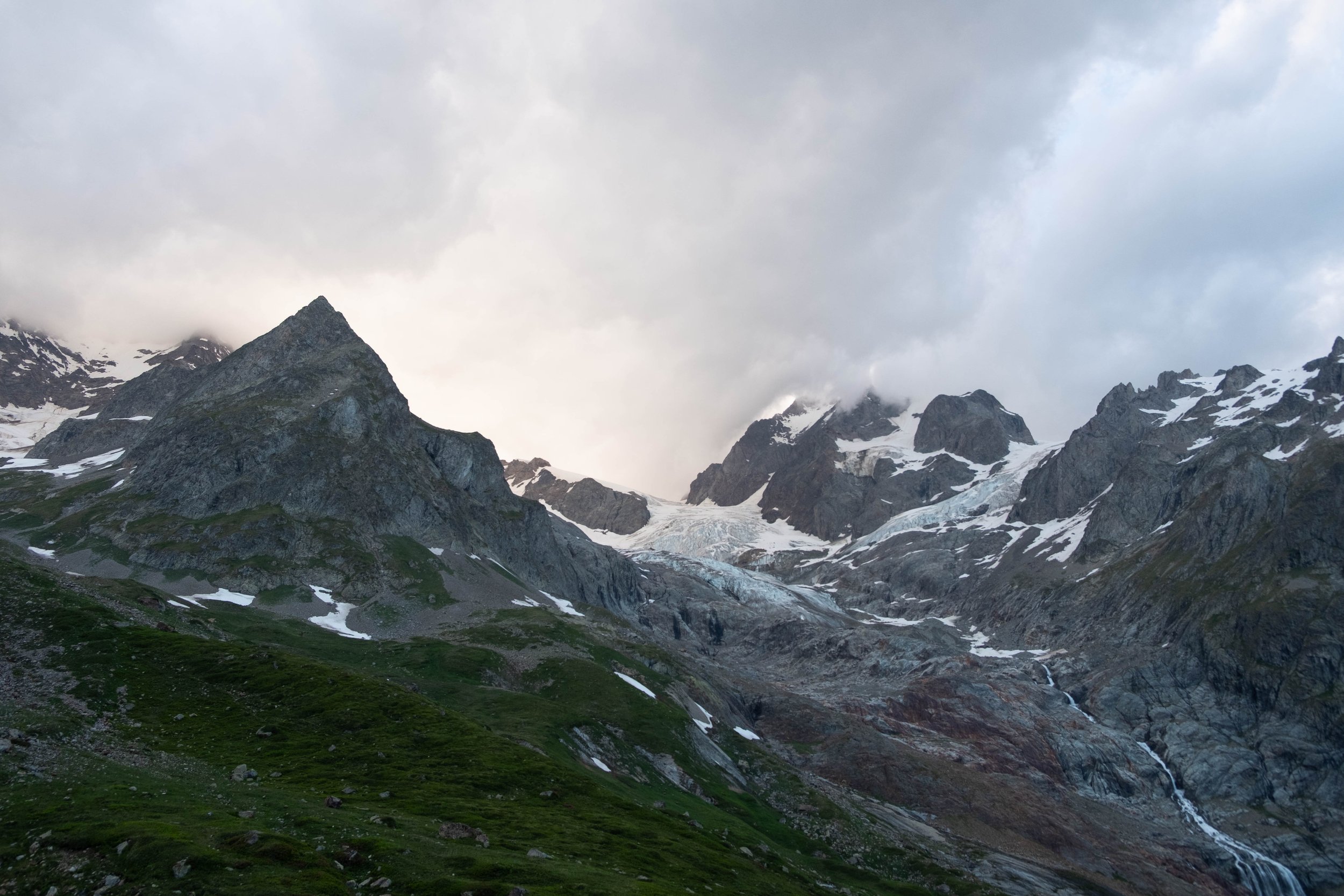
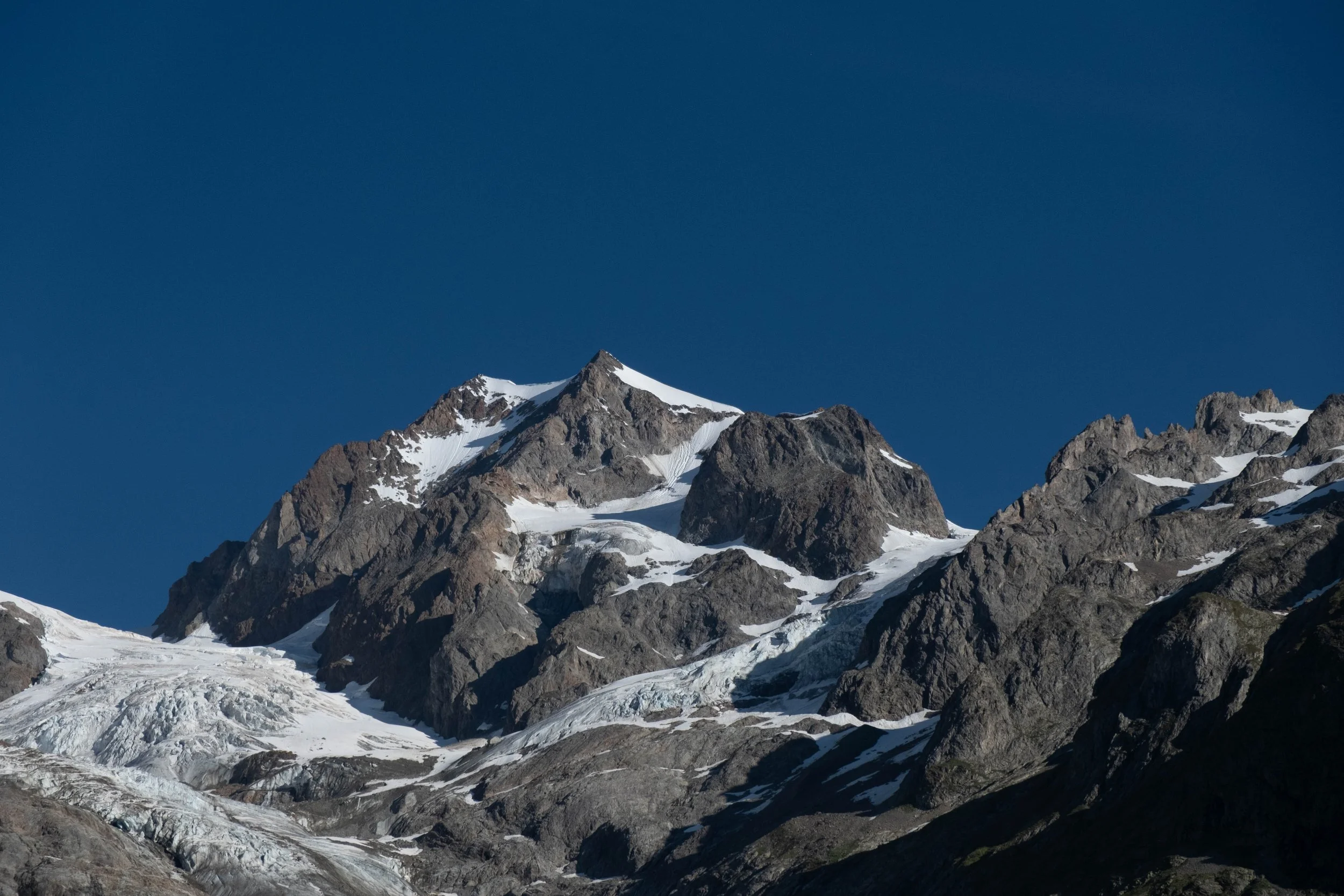
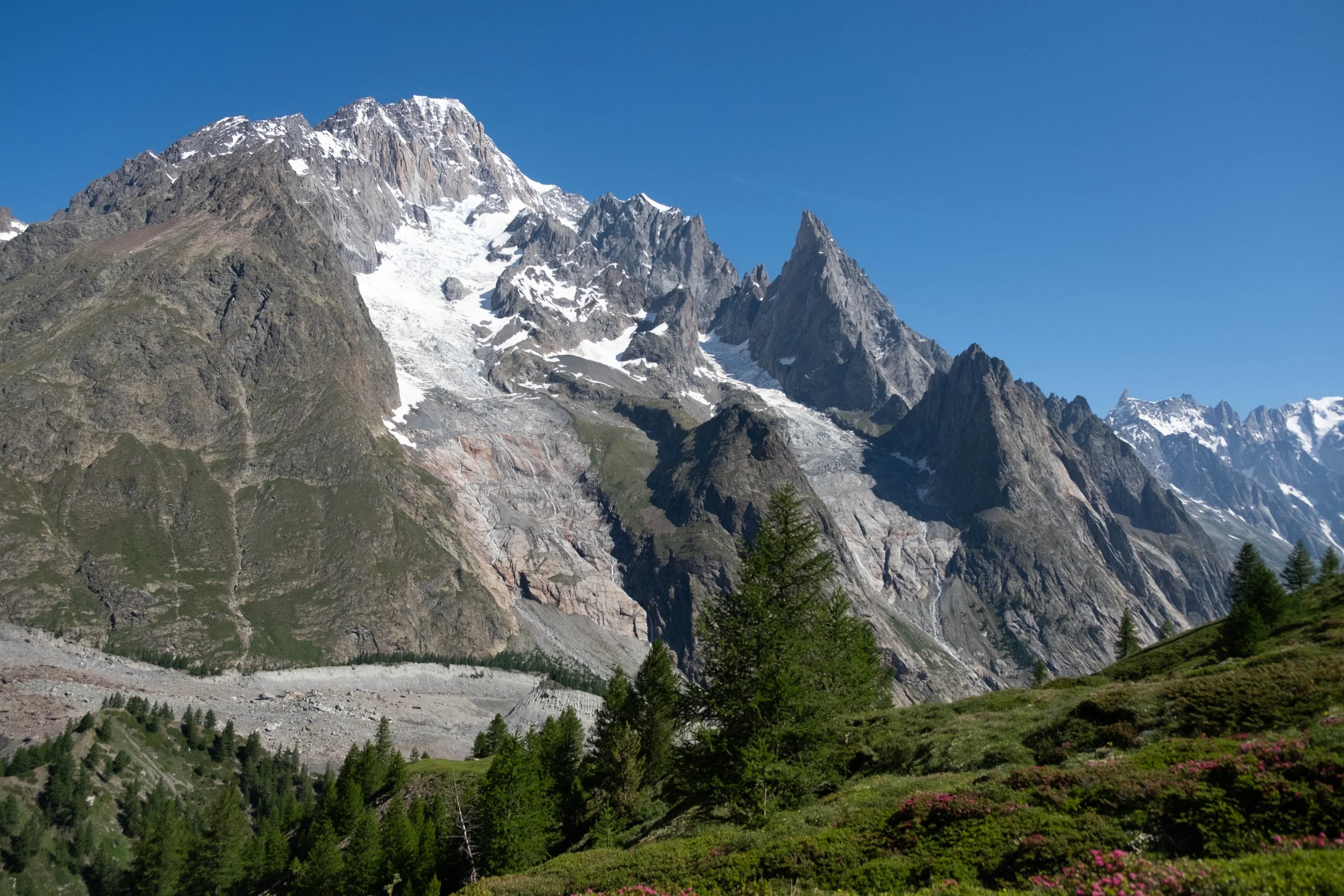
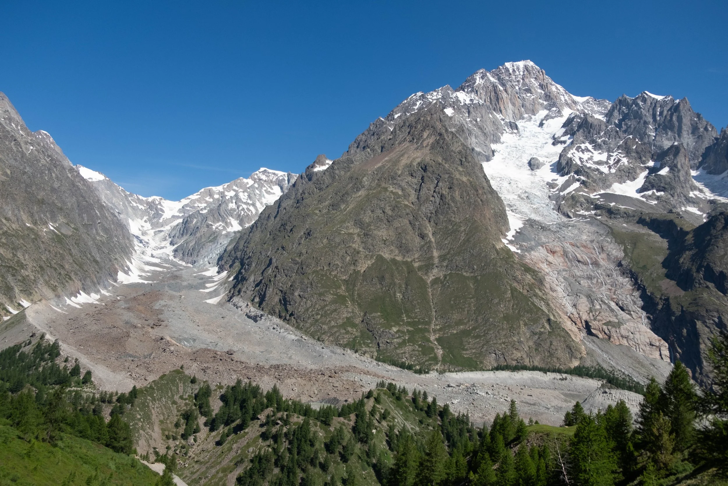
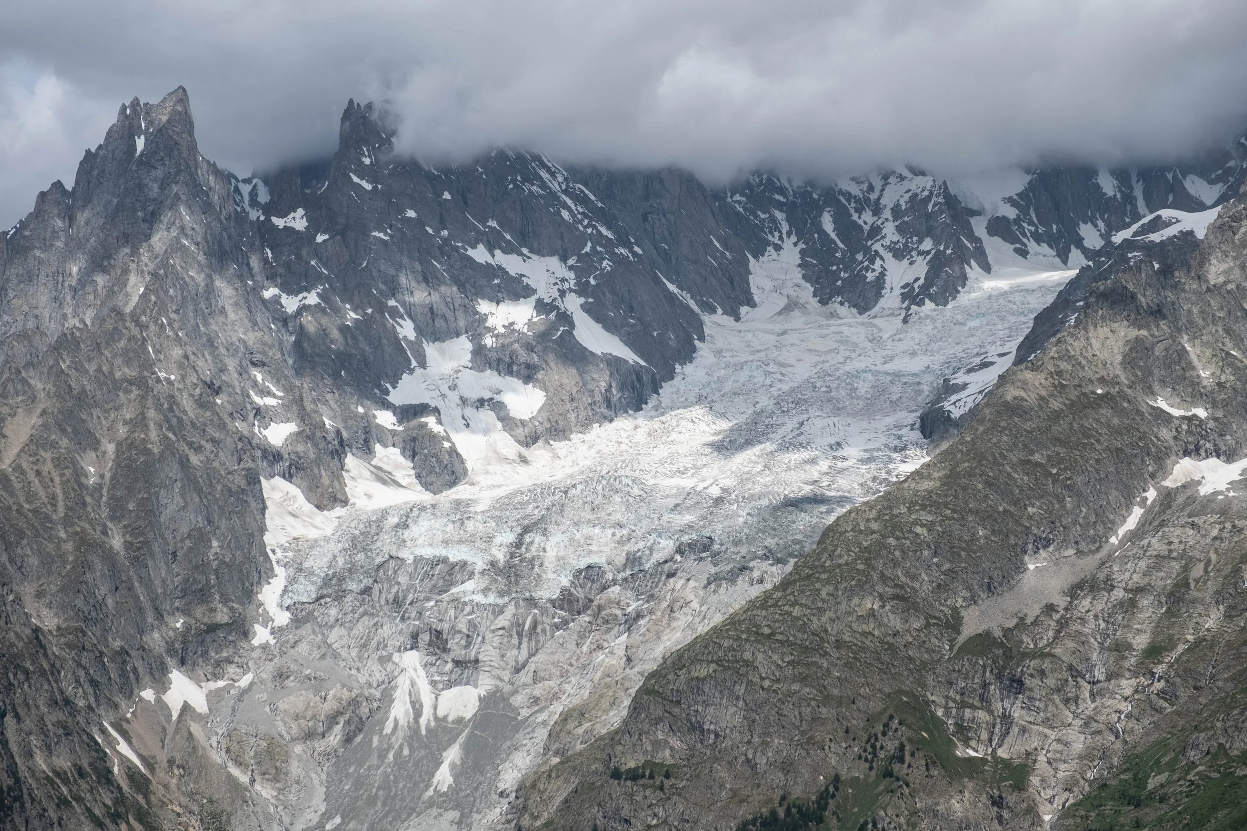
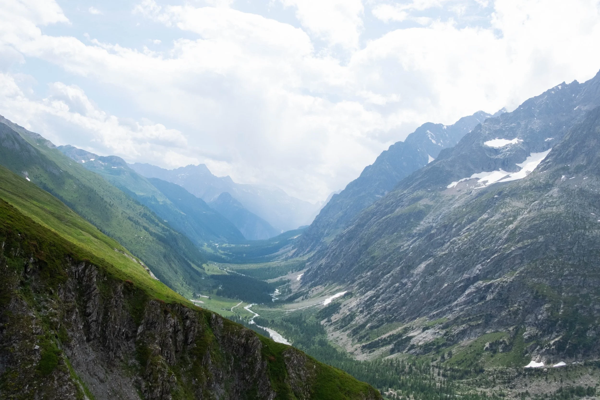
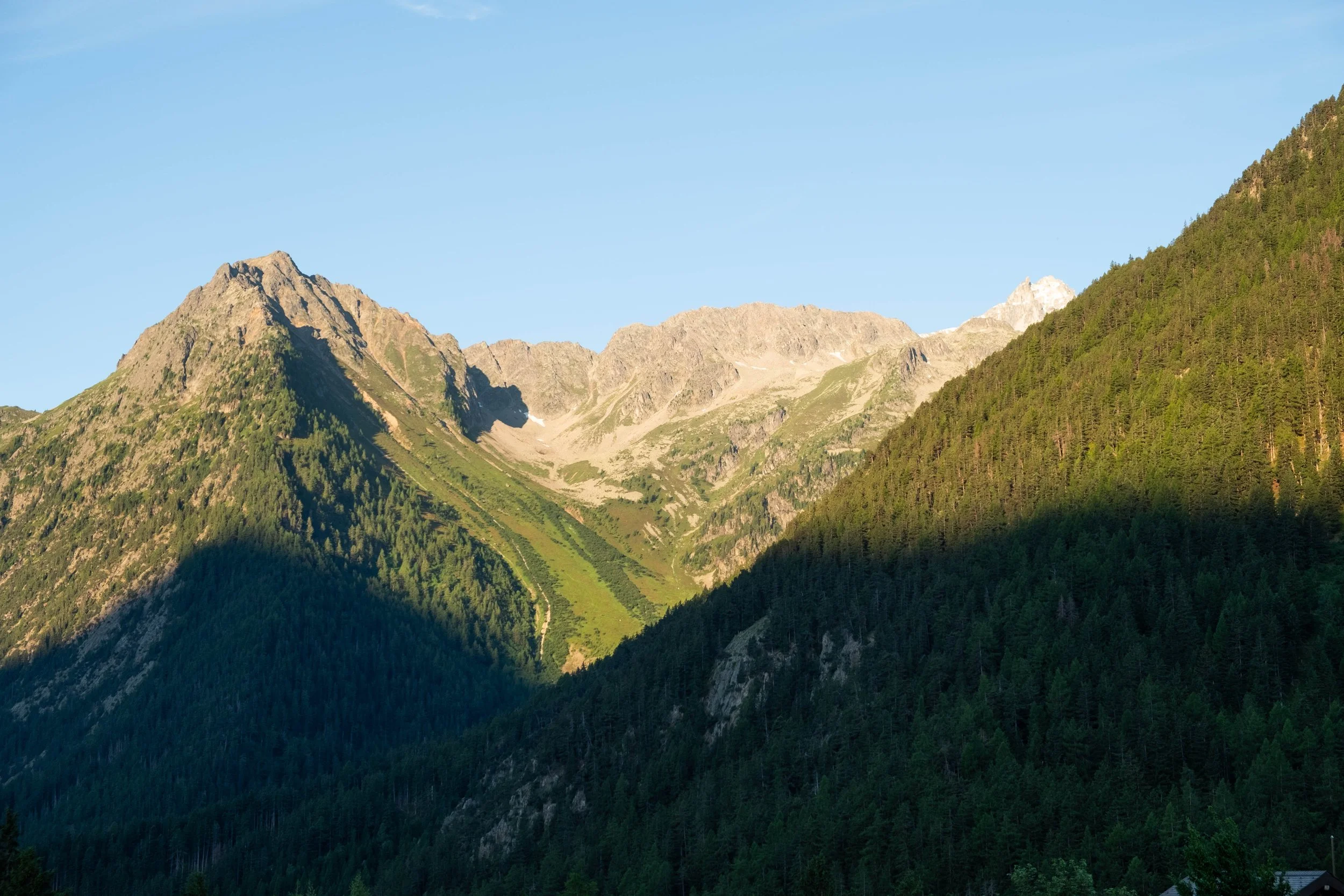
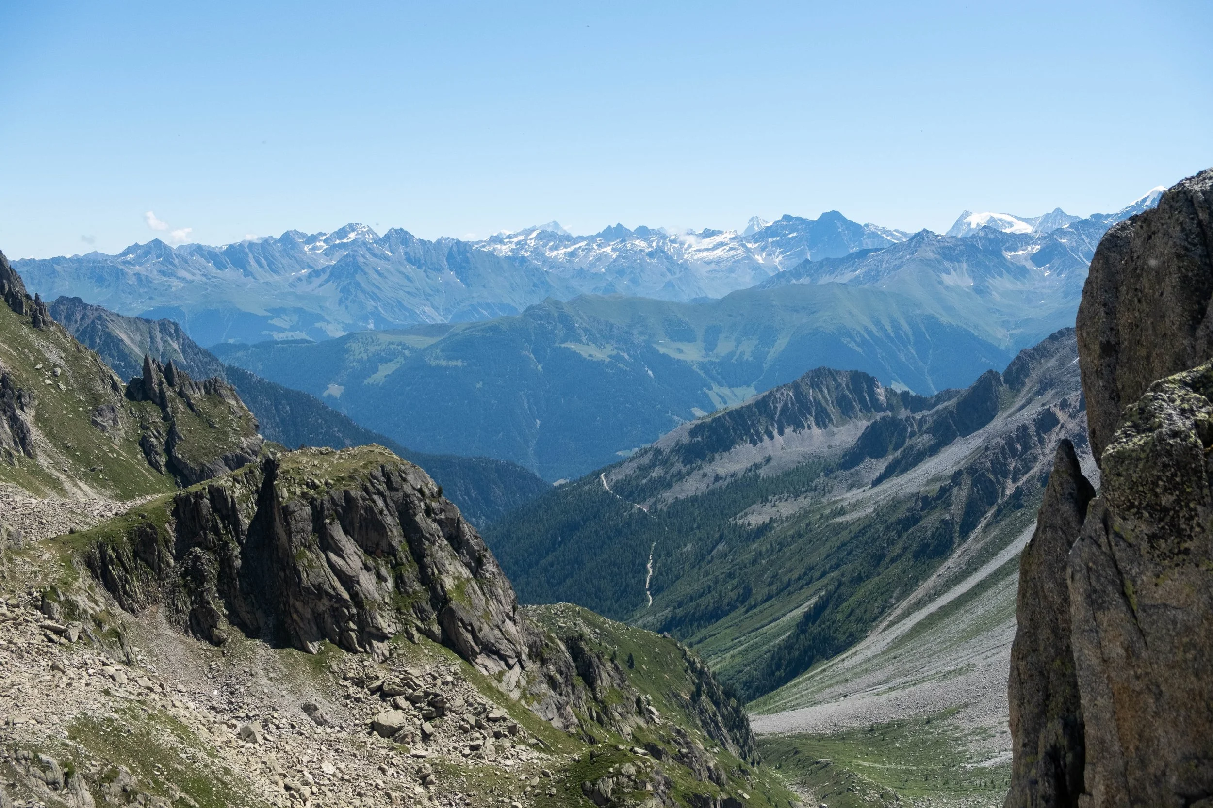
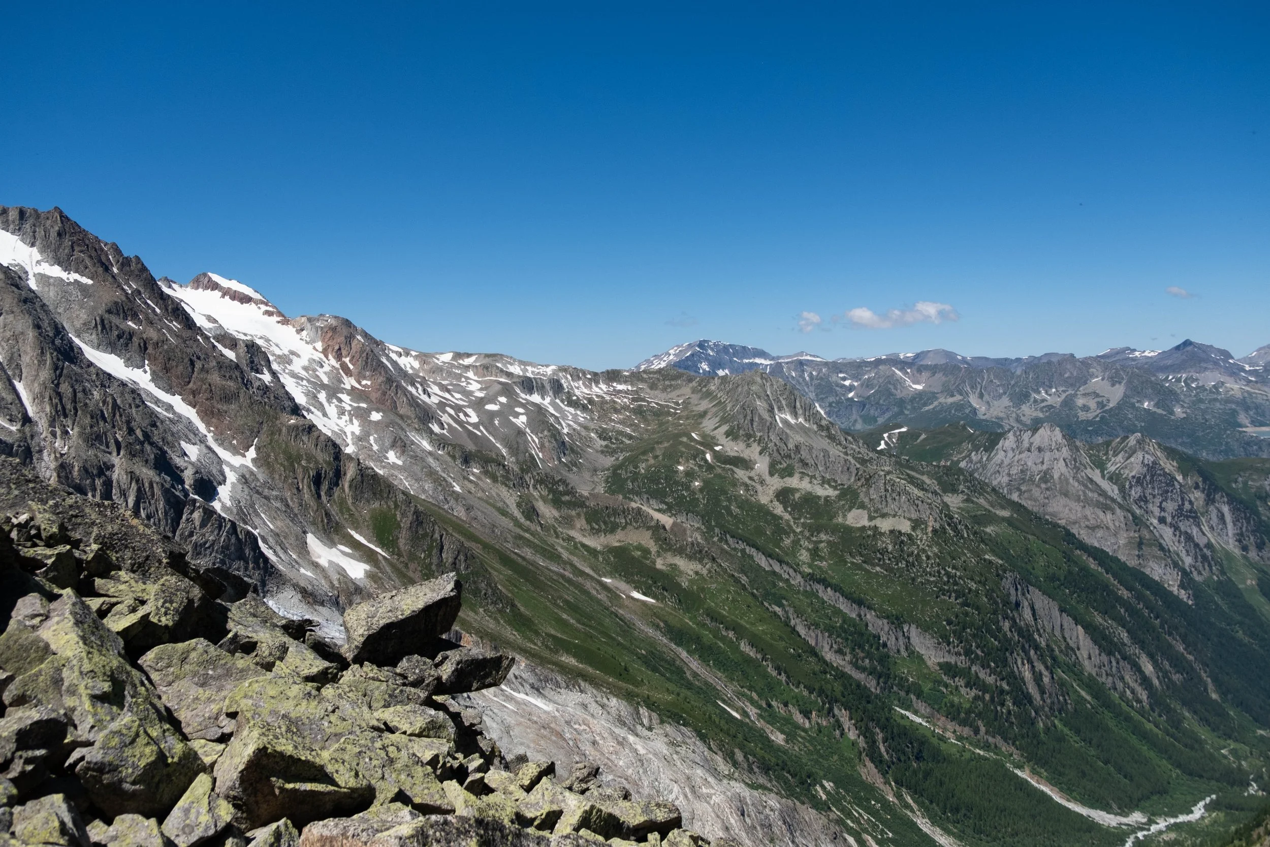
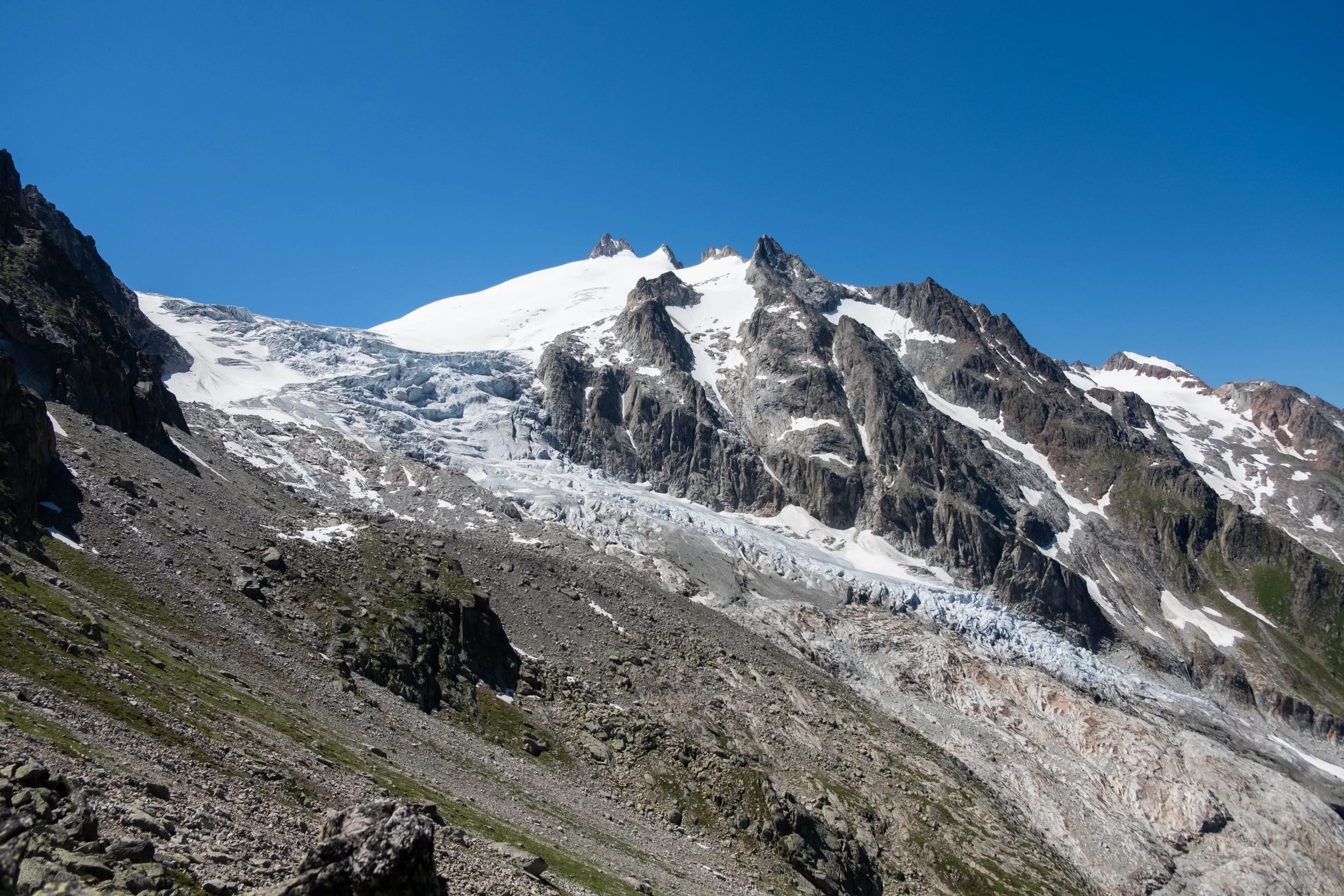
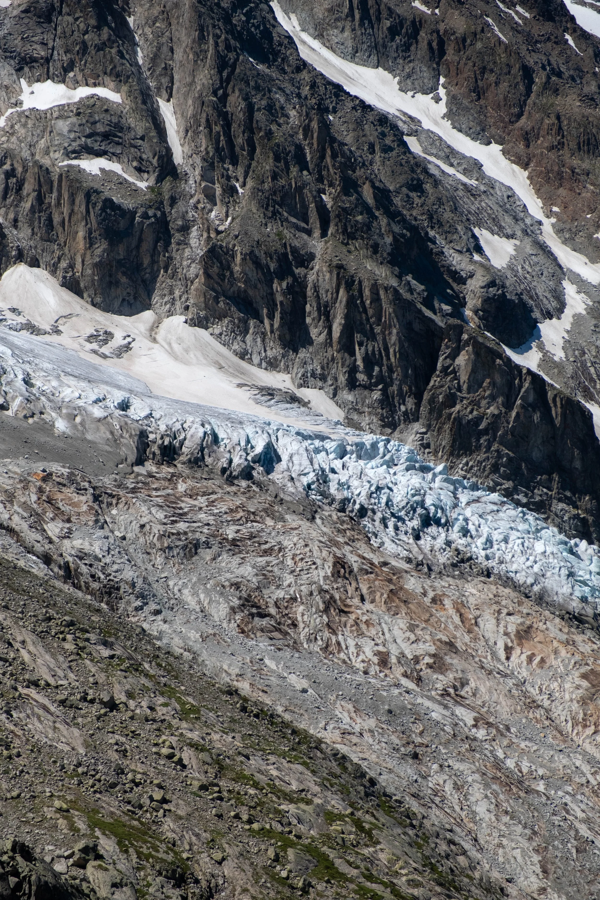
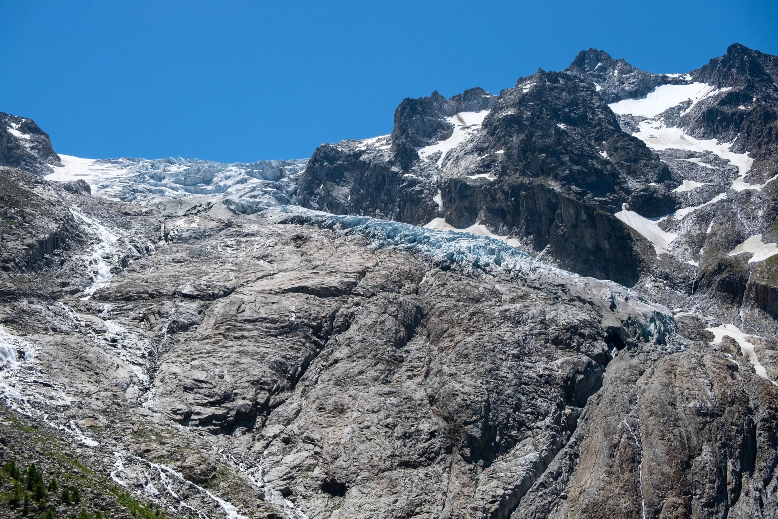
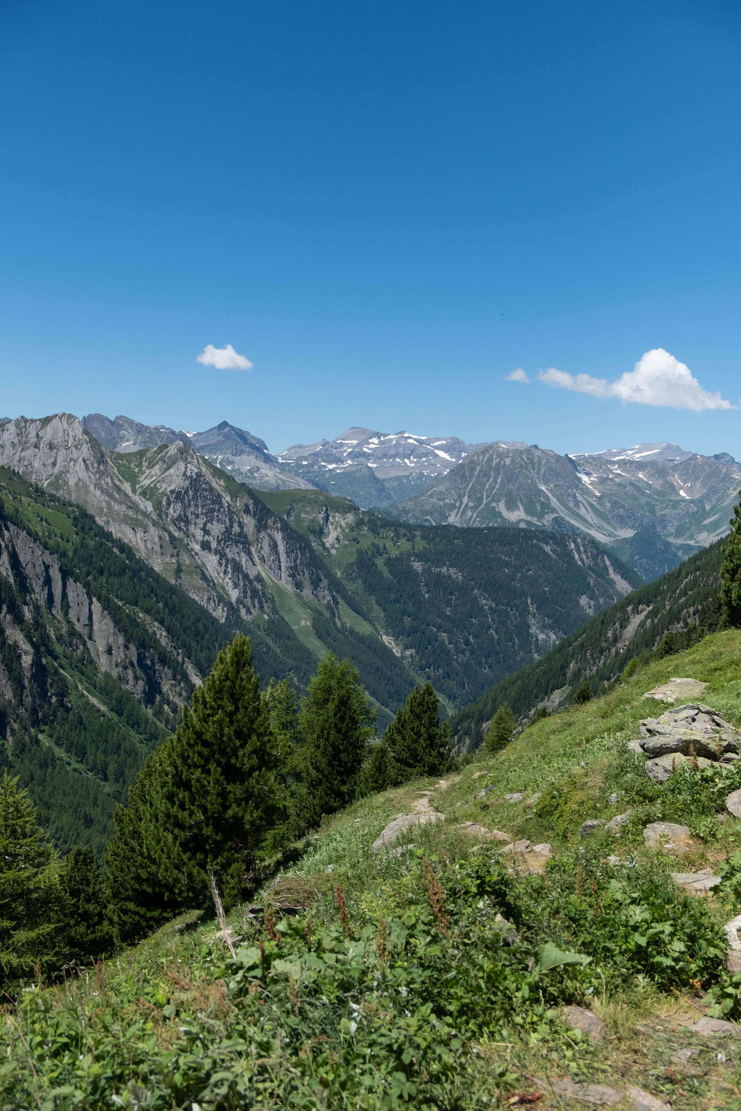
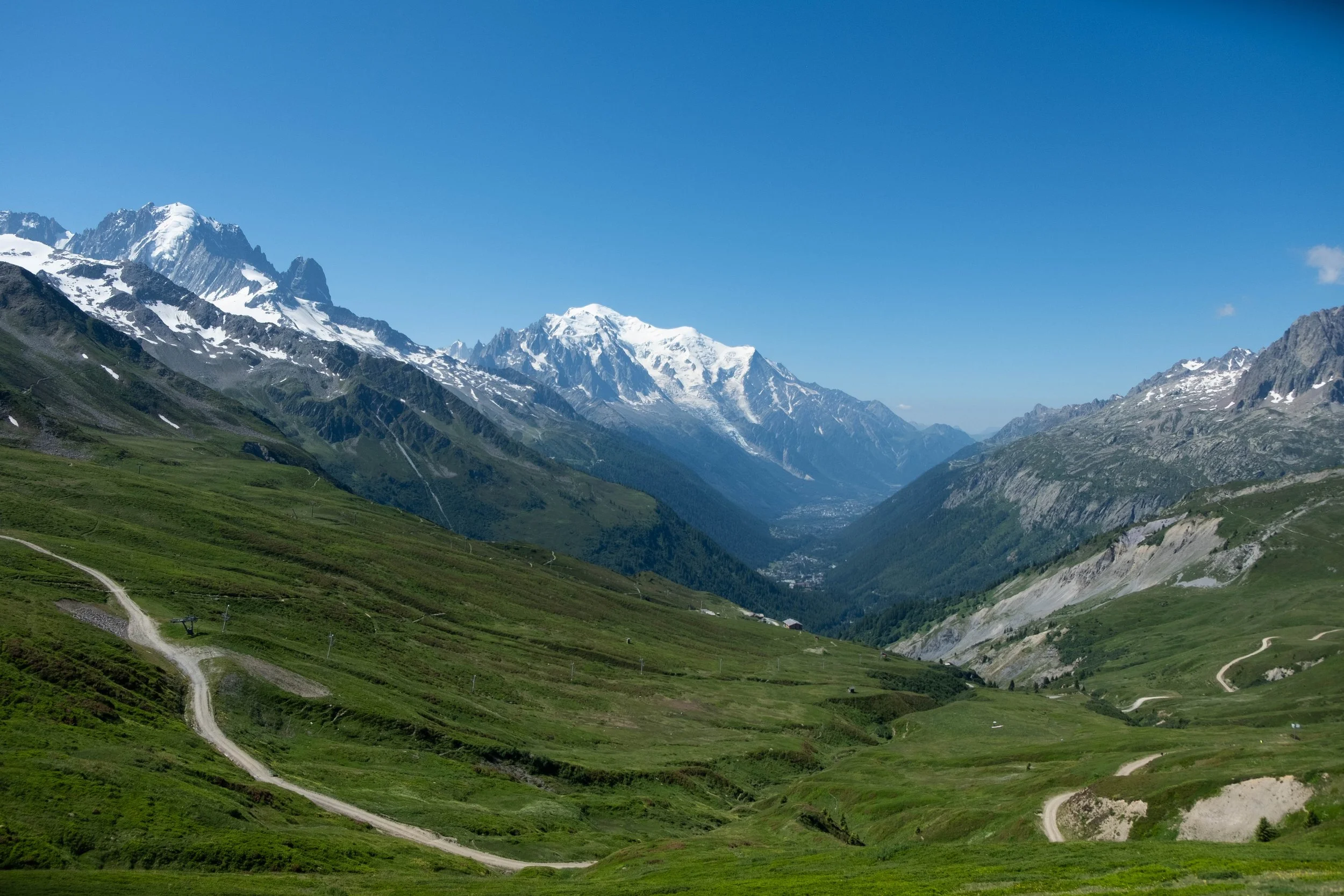
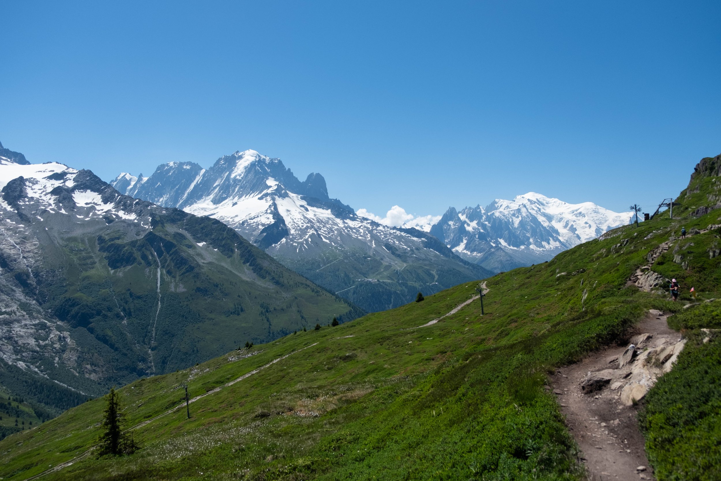
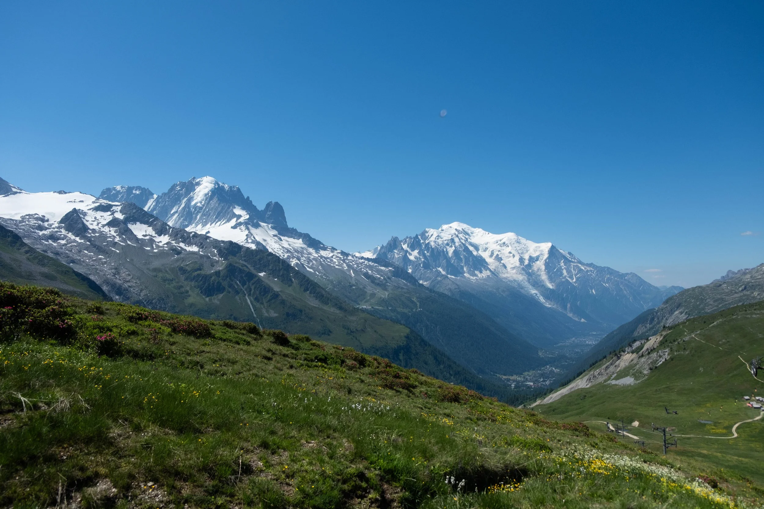
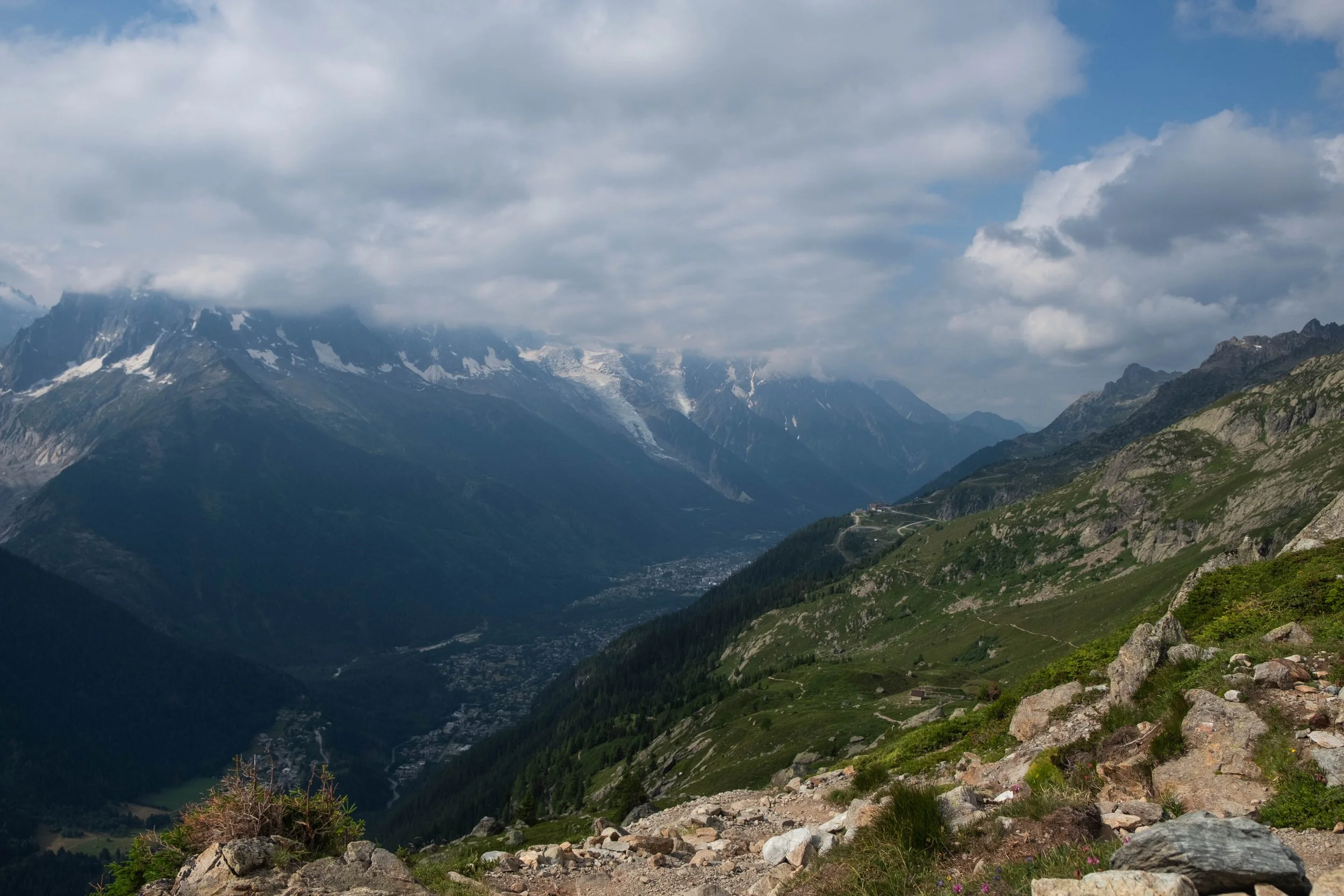
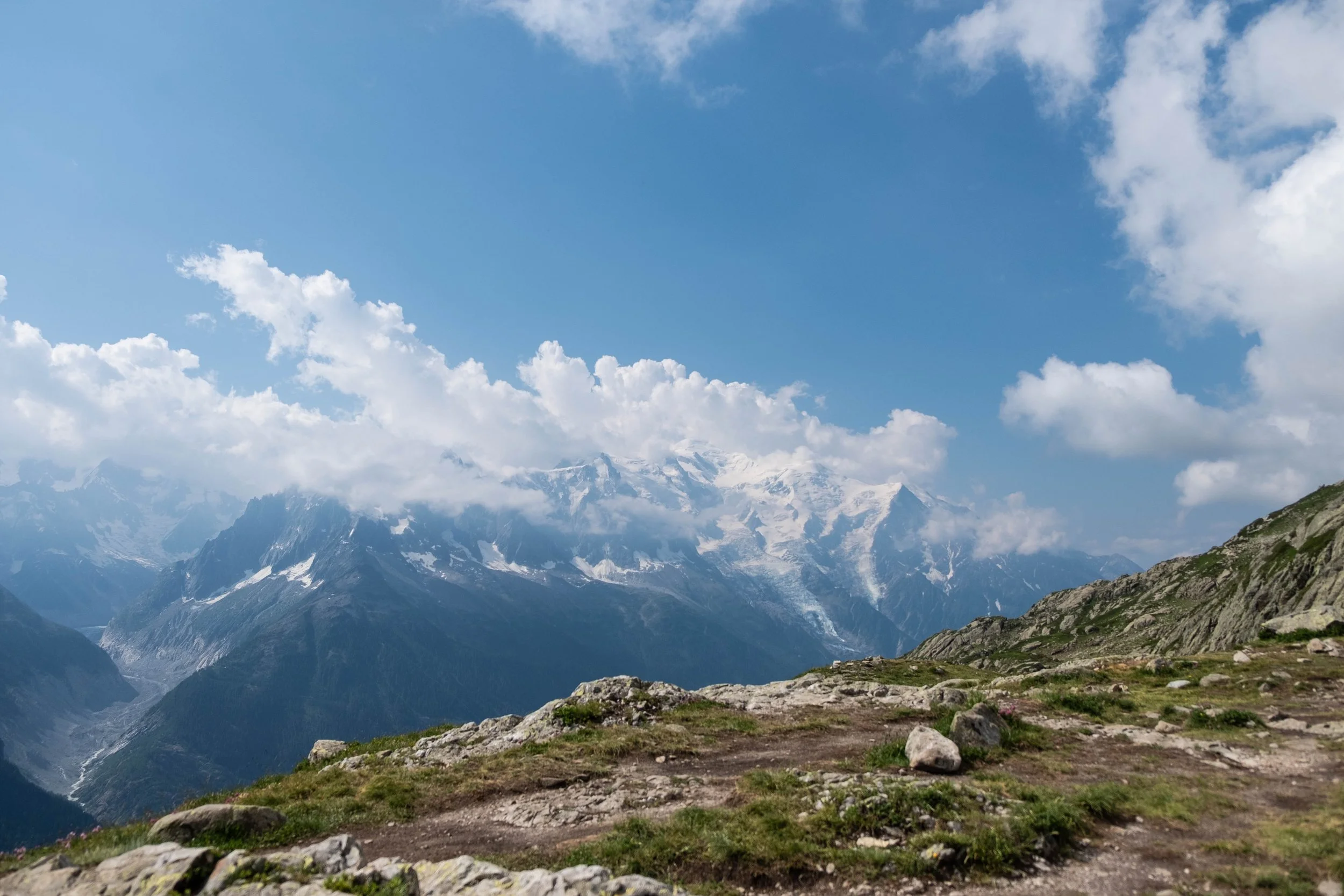
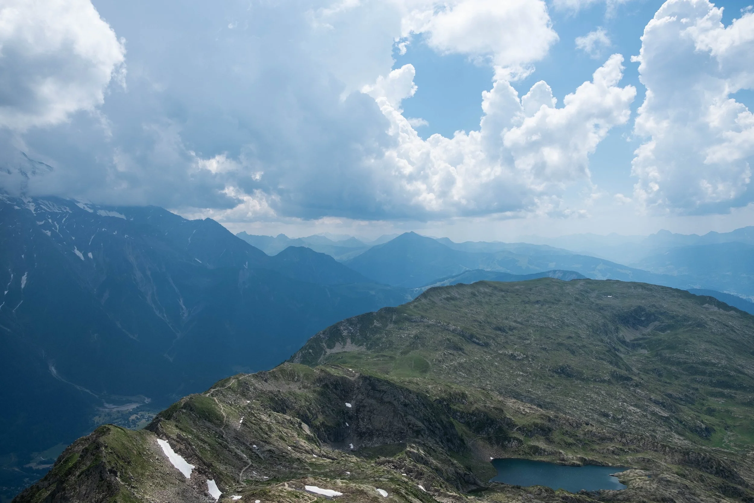
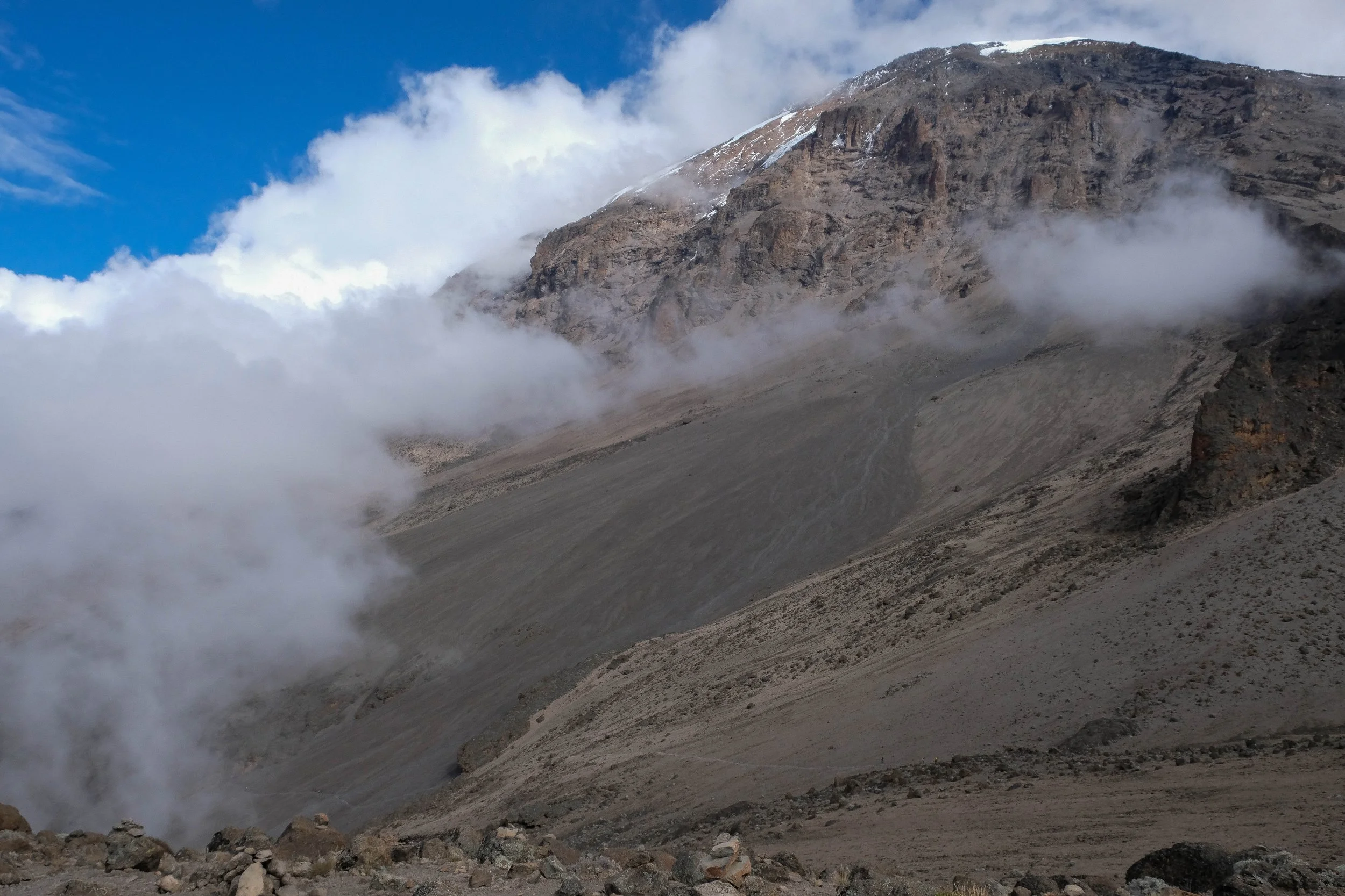
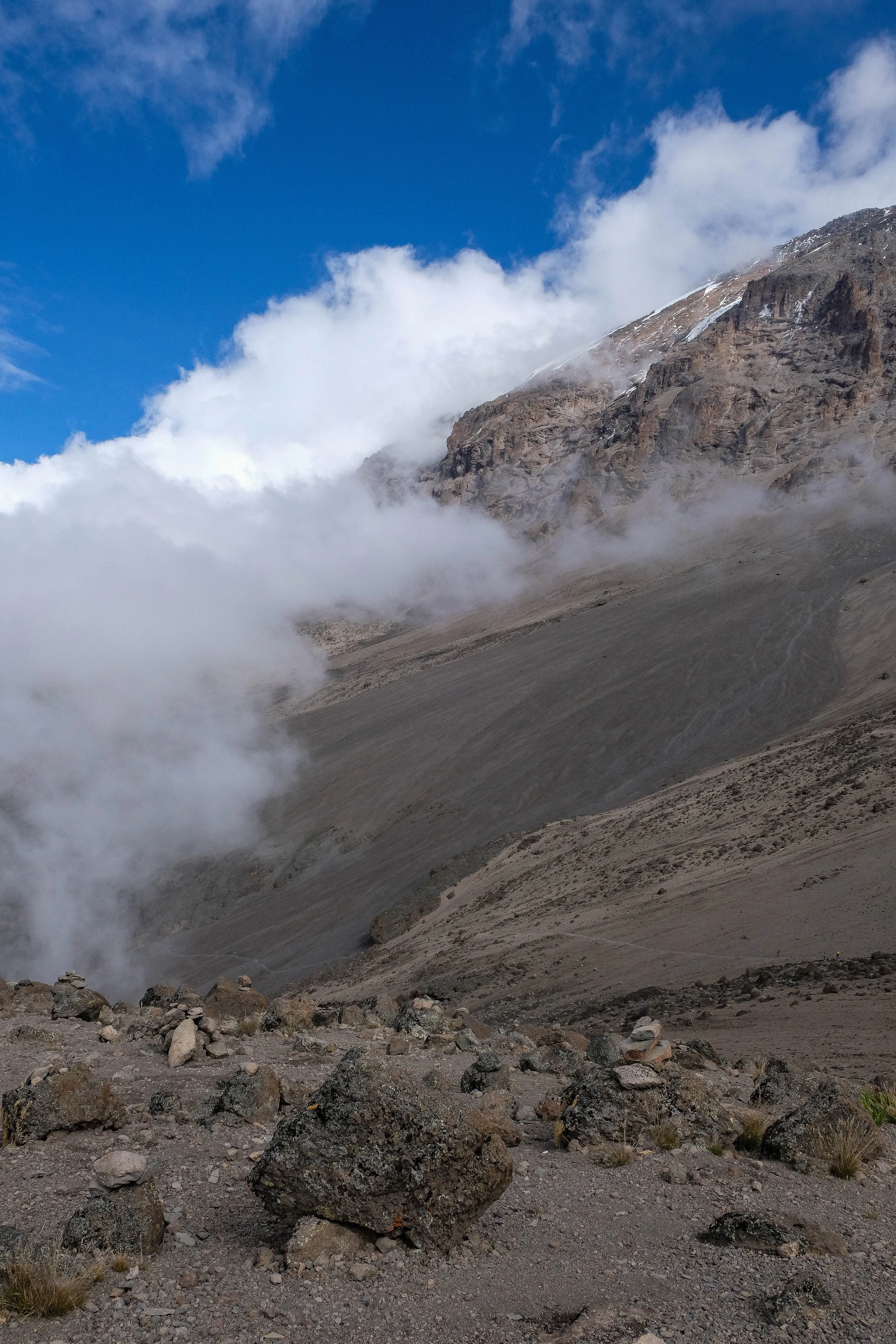
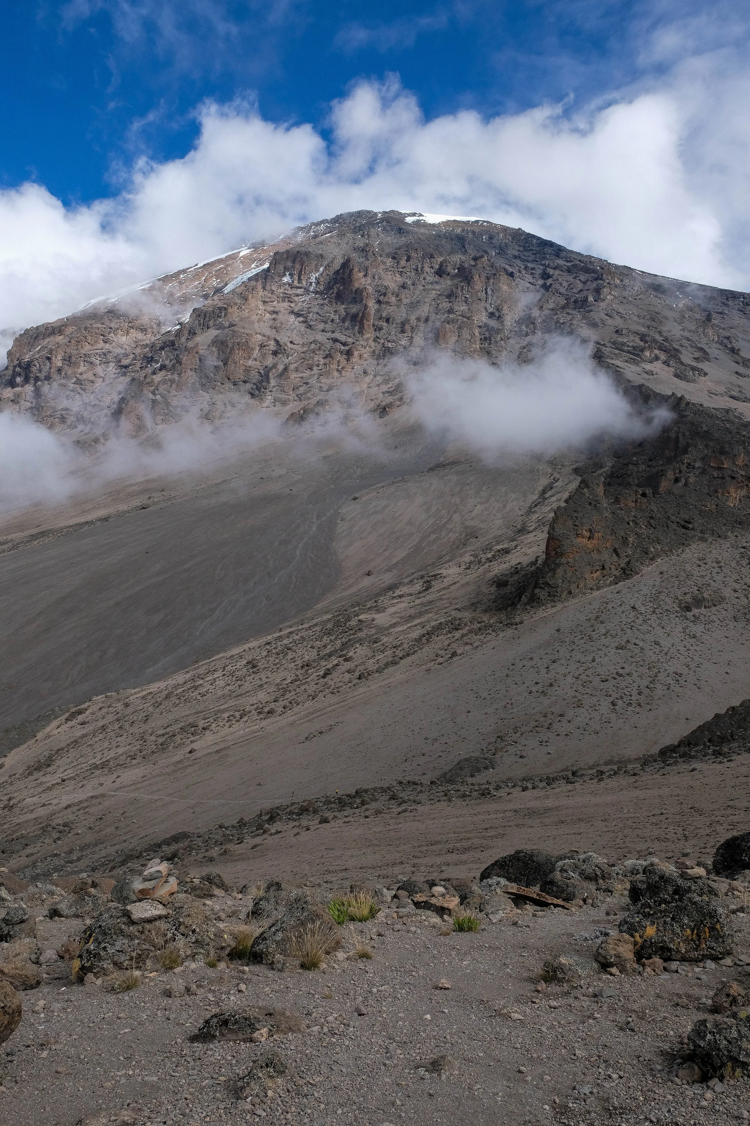
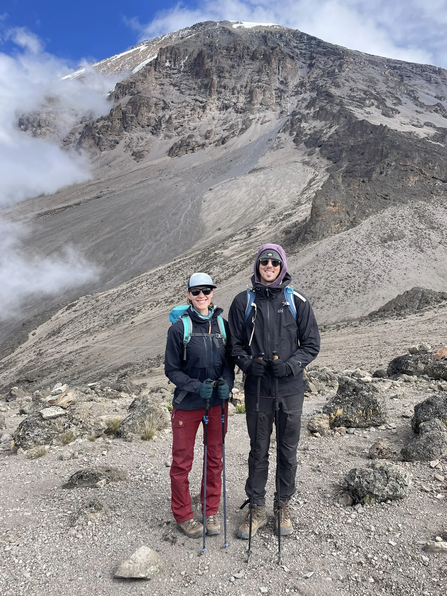
After this, we climbed high and spent the morning traipsing along a green plateau, peppered with wildflowers, where we ran back into a couple of hikers from Finland that we’d met earlier on the trip. They were carrying a tiny drone that took a video of the landscape around us. It clearly shows the gorgeous views of this day’s hike. It also shows the depressions in the mountains beside us — outlining the body of Miage Glacier, a debris-covered glacier that has been in a period of “enhanced decay” since 1990.
Seeing this slow hollowing out, the gradual shrinking of an ancient glacier beneath its blanket of earth and rock — whose long expanse is curved like cupped hands and bears the shape of a pair of lungs — left me with a profound sense of sorrow that felt jarringly at odds with the beauty of the environment we were in. Bearing witness to this alpine ecosystem while simultaneously aware that it was hotter than it is supposed to be and these glaciers are fast disappearing is a tension that has only intensified as I’ve gotten older. We now live in an era marked by the threat of heatwaves, wildfires, drought, floods. The headlines say the Rio Grande has run dry in Albuquerque. It’s anticipated that the Miage Glacier will be completely gone by the end of the century.
It seems impossible to appreciate the literal magic of the Earth without also grieving the ways in which she is being choked to death by humanity. We are resolved to do everything we can to slow this, while also recognizing that our species has blown past the warning signs, bringing our delicate shared world into a phase where much loss is inevitable.
This love and grief is intertwined. We felt both acutely on this hike.
We finished the day descending into Courmayeur, followed by pizza and gelato with yet another set of TMB friends. A day we won’t soon forget.
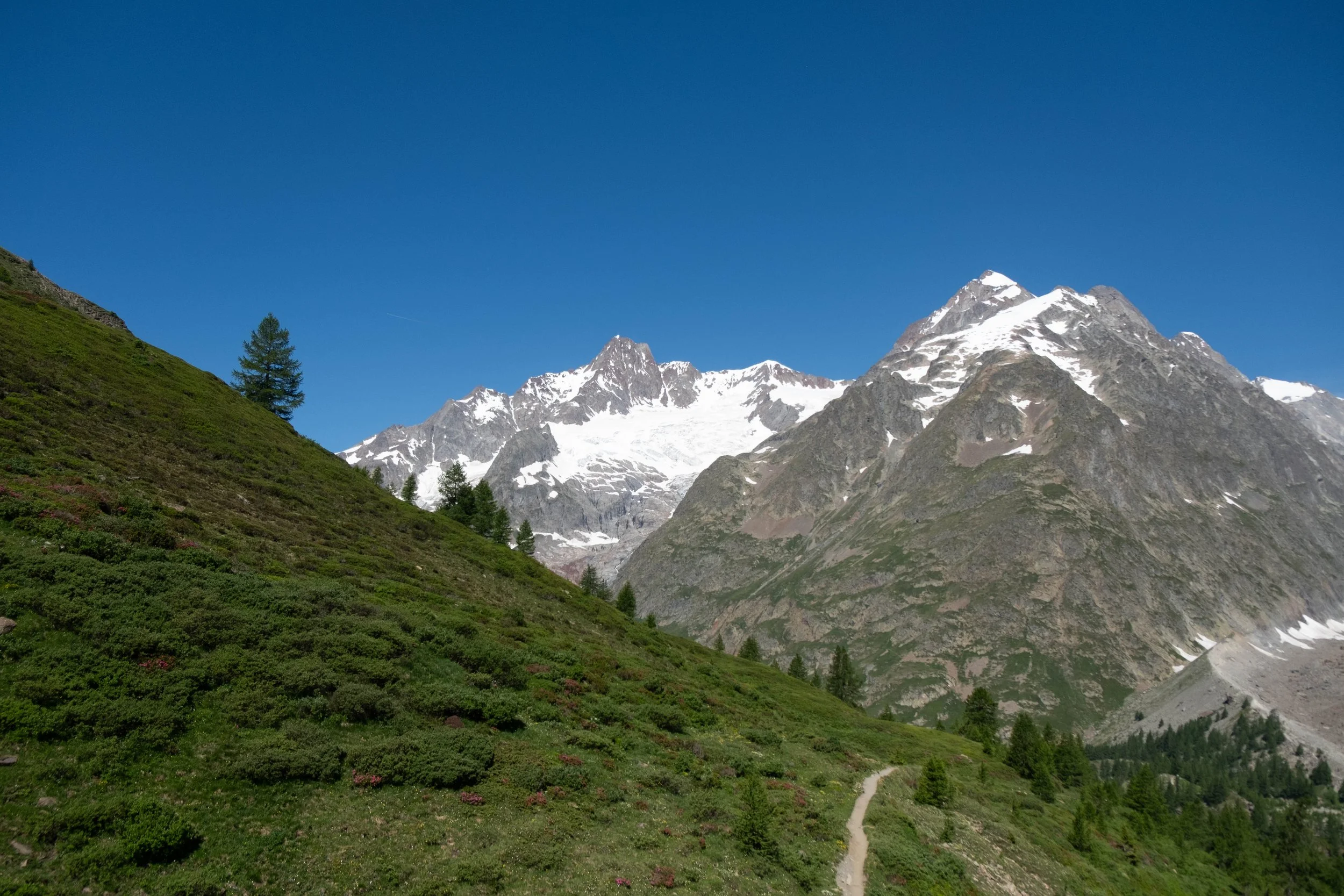
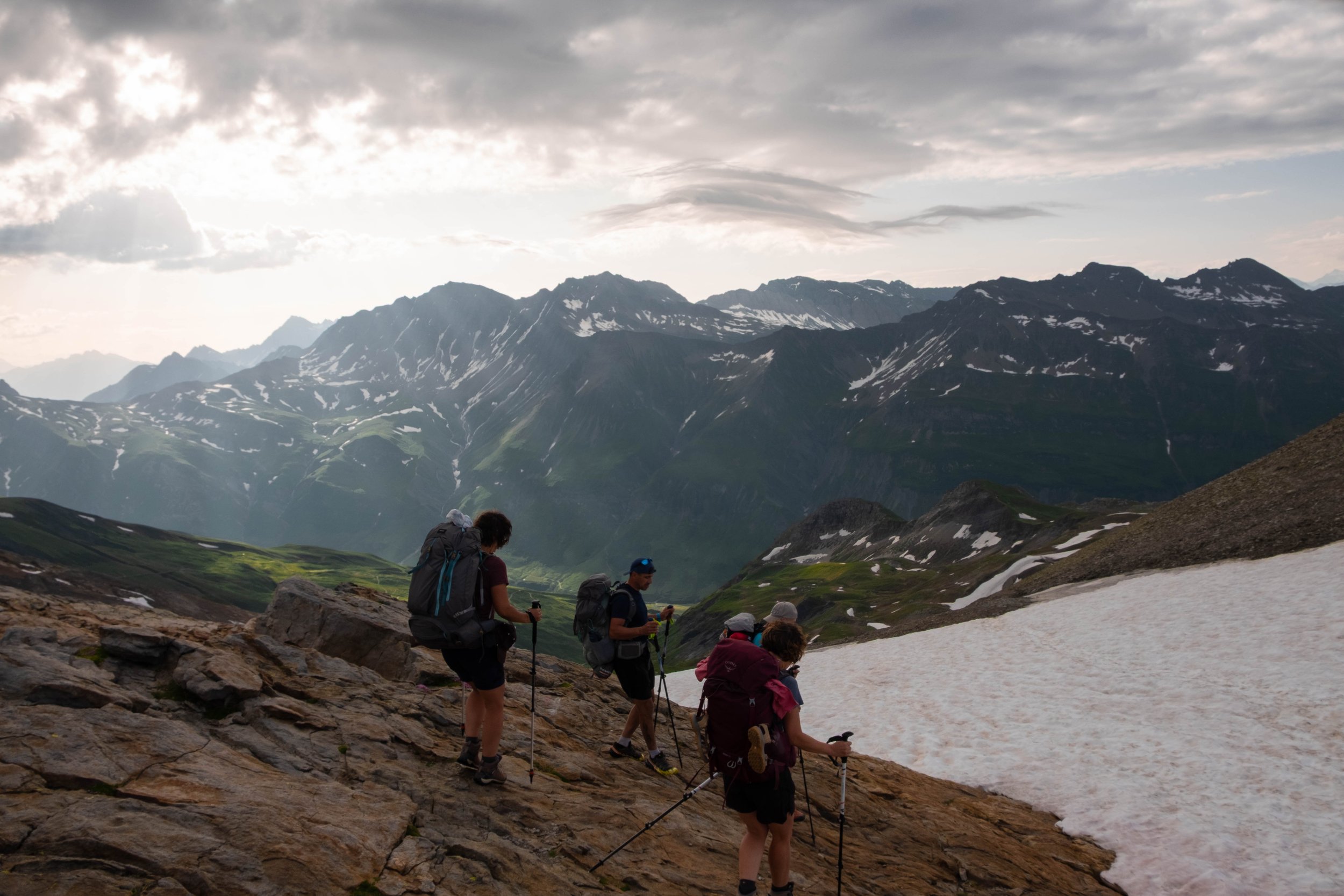
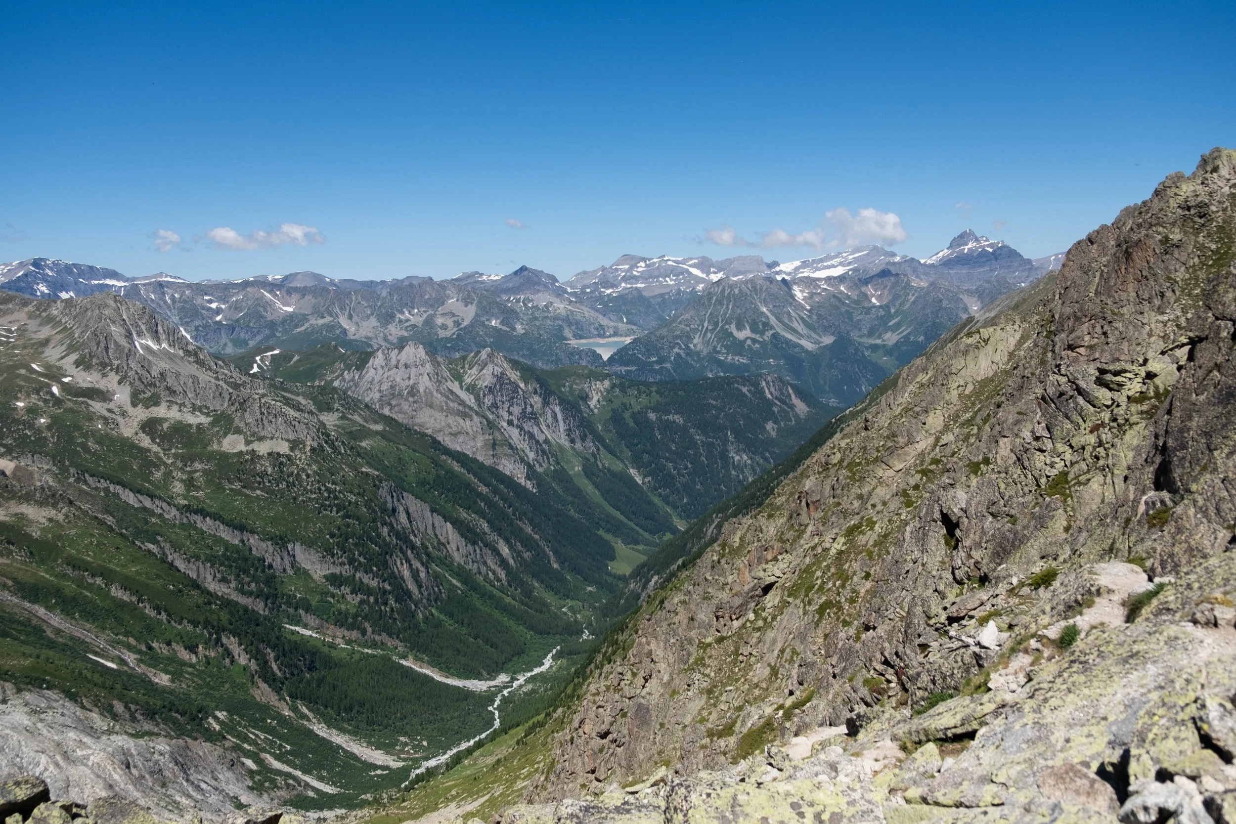
Day 5: Courmayeur to La Fouly | Gîte de la Fouly, Switzerland
Distance: 21.3 miles | Ascent/Descent: +6,827 ft/-5,500 ft
When we planned this trip almost a year ago, I remember saying to J that I couldn’t imagine much more of a perfect birthday than one spent hiking through the Alps from Italy to Switzerland. We’re happy to report: Reality was even better than what we’d hoped for.
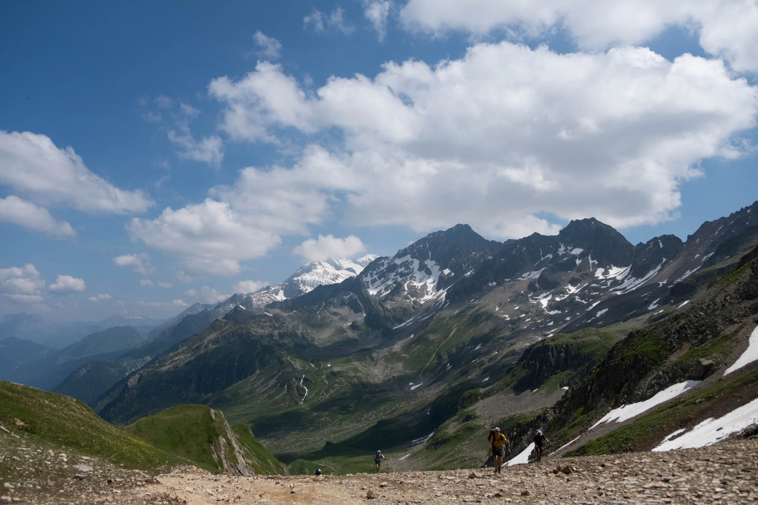
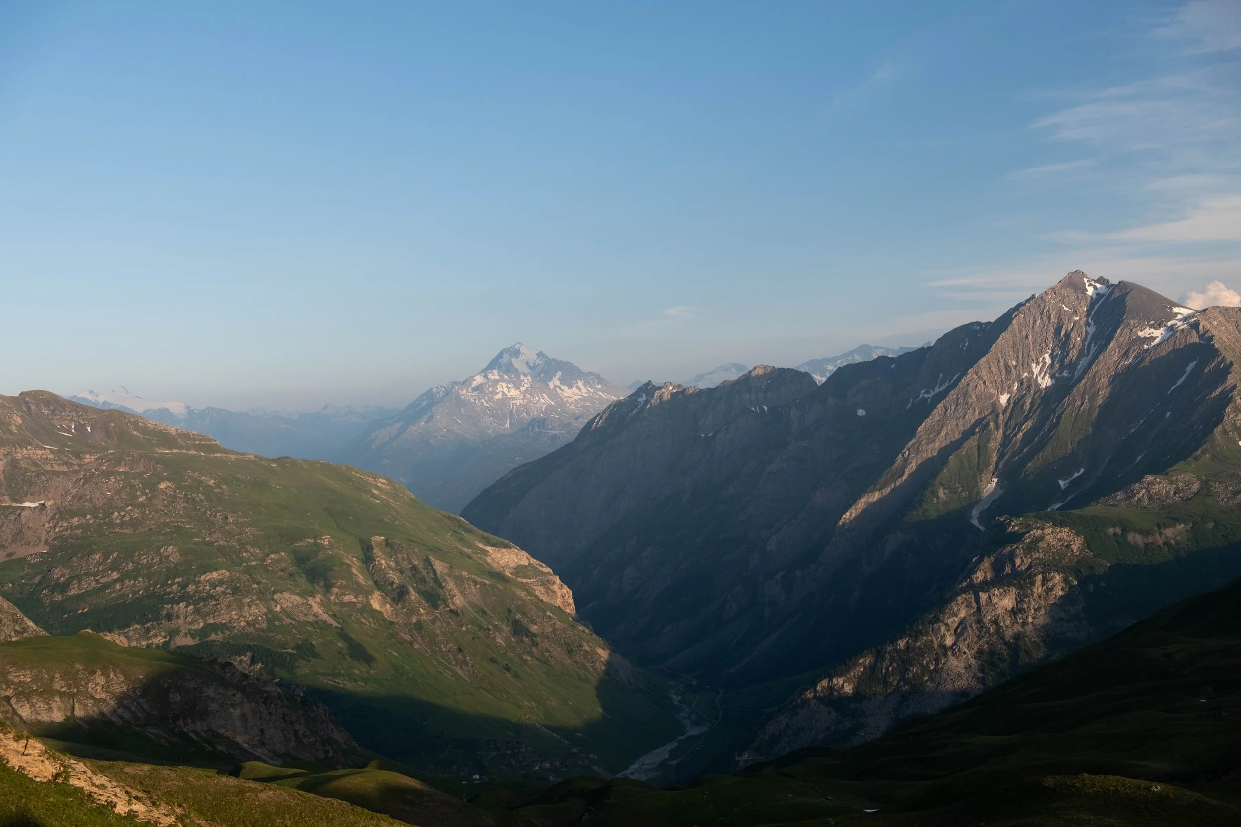
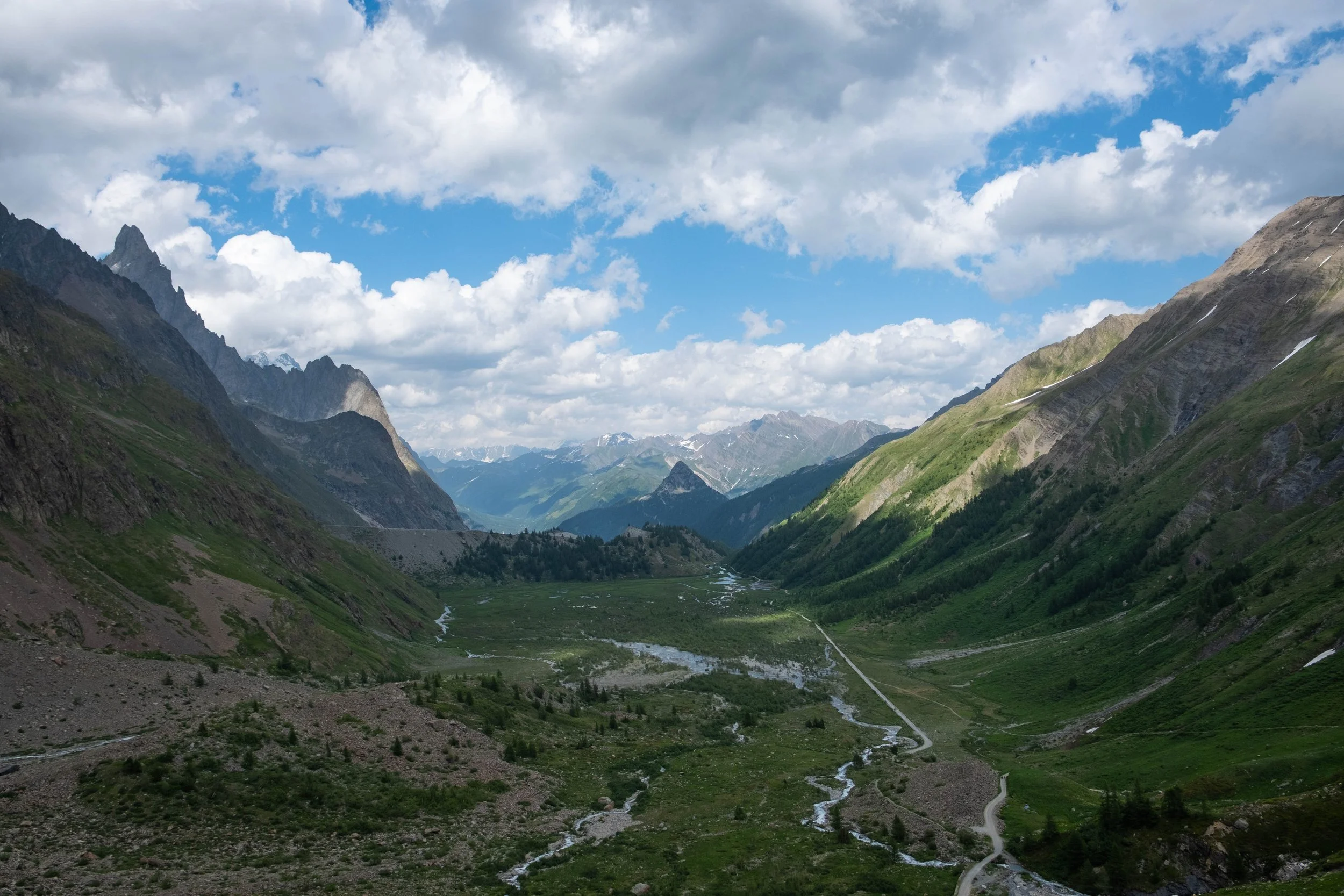
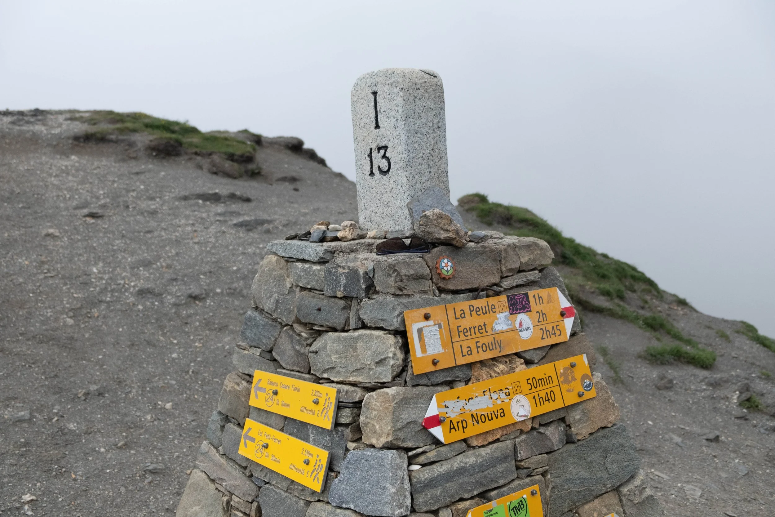
Feeling ambitious as we welcomed Years 35 & 36, we decided to combine two stages of the hike today, with plans to stop at most of the rifugios along the way for food because (a) umm, birthday treats and (b) we were going to need a *lot* of calories. What followed was the longest day on the trail with two significant ascents up to Refuge Bertone and the Grand Col Ferret, and two big descents — one just before the Grand Col Ferret (nothing like losing all the elevation you already climbed, just to climb back up again! such is the TMB way) and the other at the end of our day as we made our way into Switzerland.
We were fresh off our rest day in Courmayeur and high on birthday vibes; this hike ended up being one of the most fun and memorable. The Aosta Valley was oh so green, the flowers were popping, and the gathering storm clouds mostly held off until we’d crossed into Switzerland. The climb up the Grand Col Ferret was not for the faint of heart, but doable after a refueling break at Rifugio Elena (where J inhaled a massive apple strudel buried in whipped cream). We were rewarded for the effort with truly stunning views on the Italian side. In contrast, the Swiss side of the pass was completely socked out in a cloud, lending an air of mystery as we began descending.
Our legs were officially trashed by the time we made it to Gîte de la Fouly for the evening. We were welcomed with a home-cooked meal (hash + a fried egg, fresh green salad, lentil soup: dreamy after a long day of hiking!) and surprised with bowls of fresh strawberries with a candle in them at the end of the meal, a sweet gesture to recognize our birthdays.
Once done, we retired to our room and were asleep almost immediately — all in all, a birthday for the books.
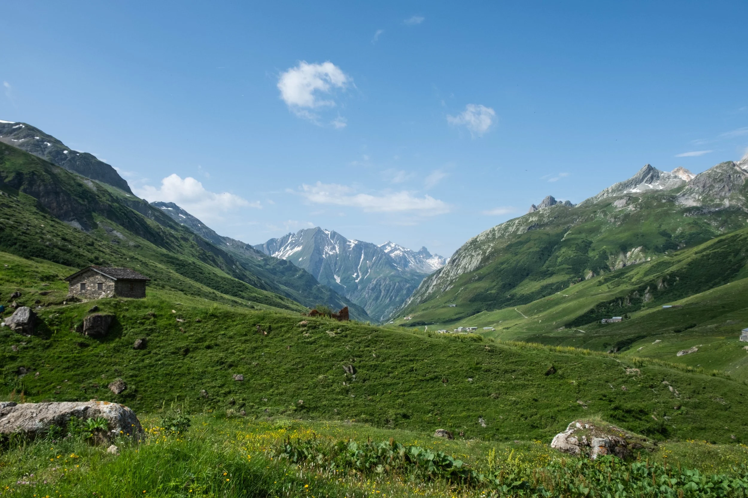
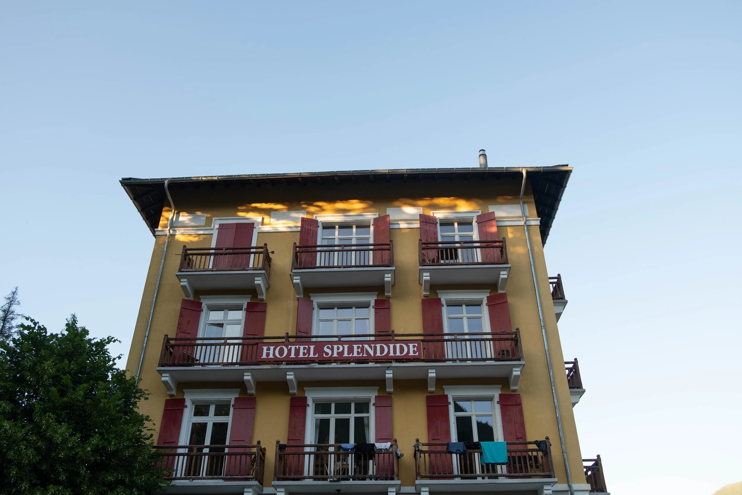
Day 6: La Fouly to Champex | Hotel Splendide, Switzerland
Distance: 9.3 miles | Ascent/Descent: +1,883 ft/-2,250 ft
After a leisurely morning at the gîte, during which time we hopped in the hot tub we’d been surprised to learn was at our disposal (mostly out of principle, for when one has access to a hot tub, one should seriously consider using it), we packed up and were on our way.
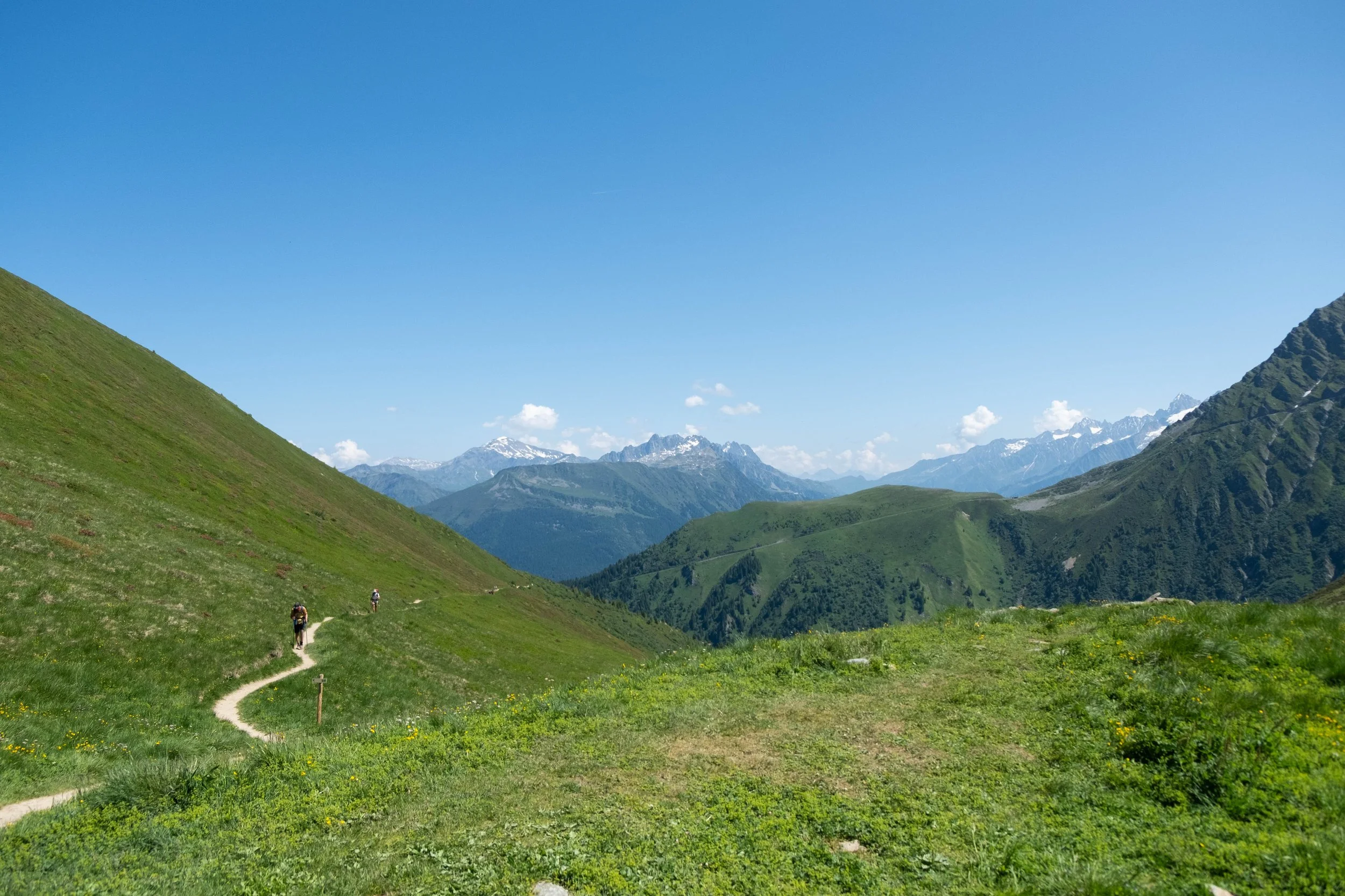
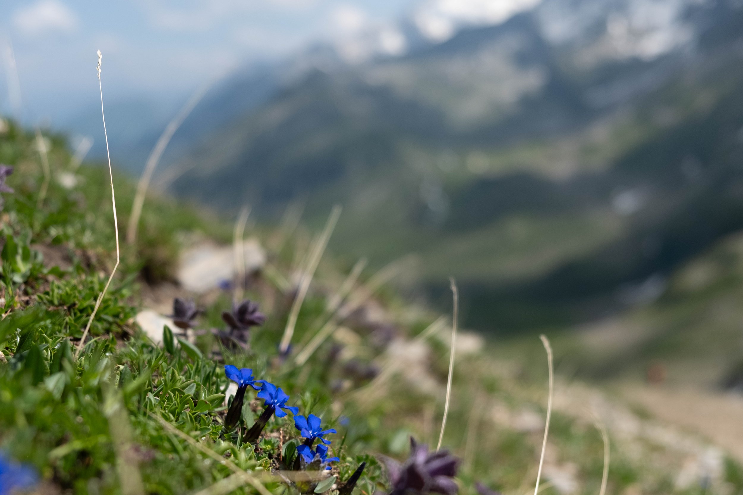
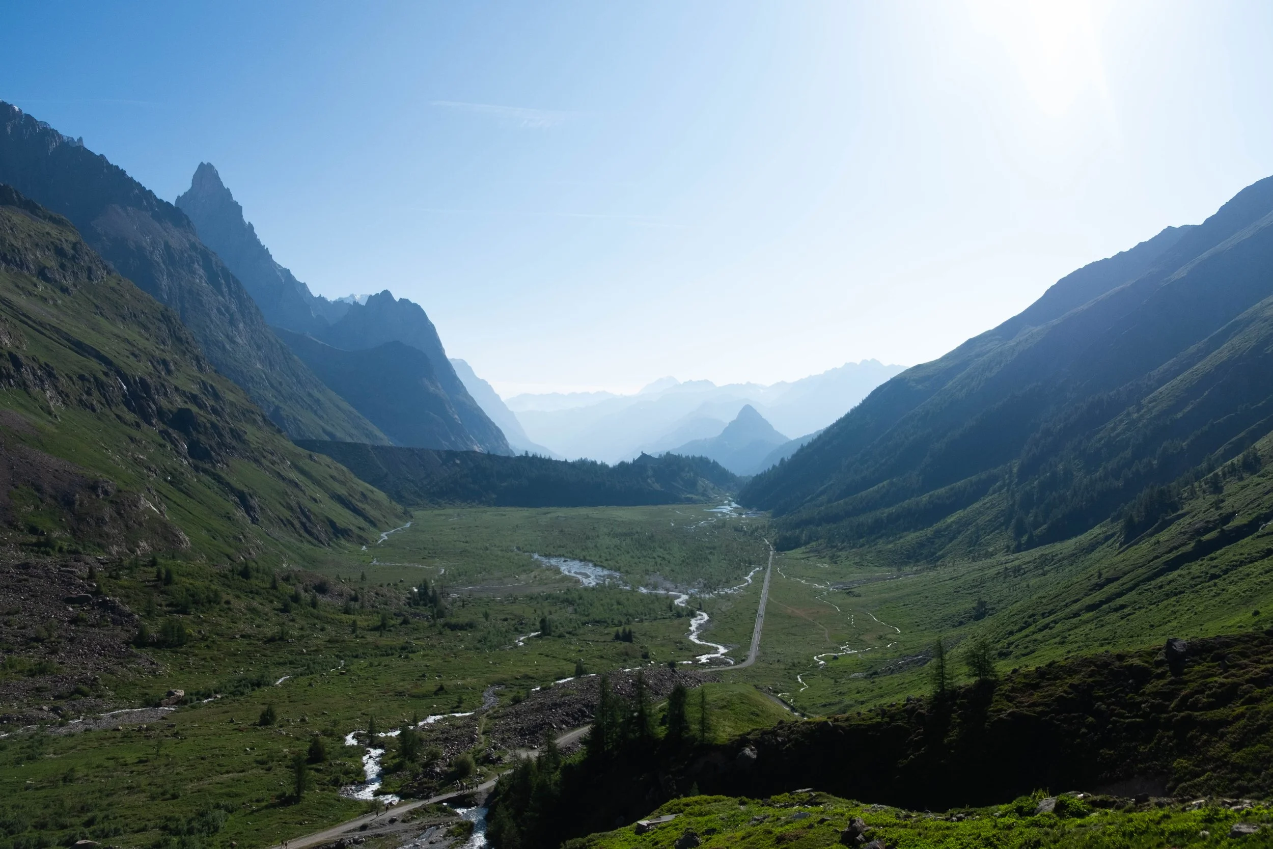
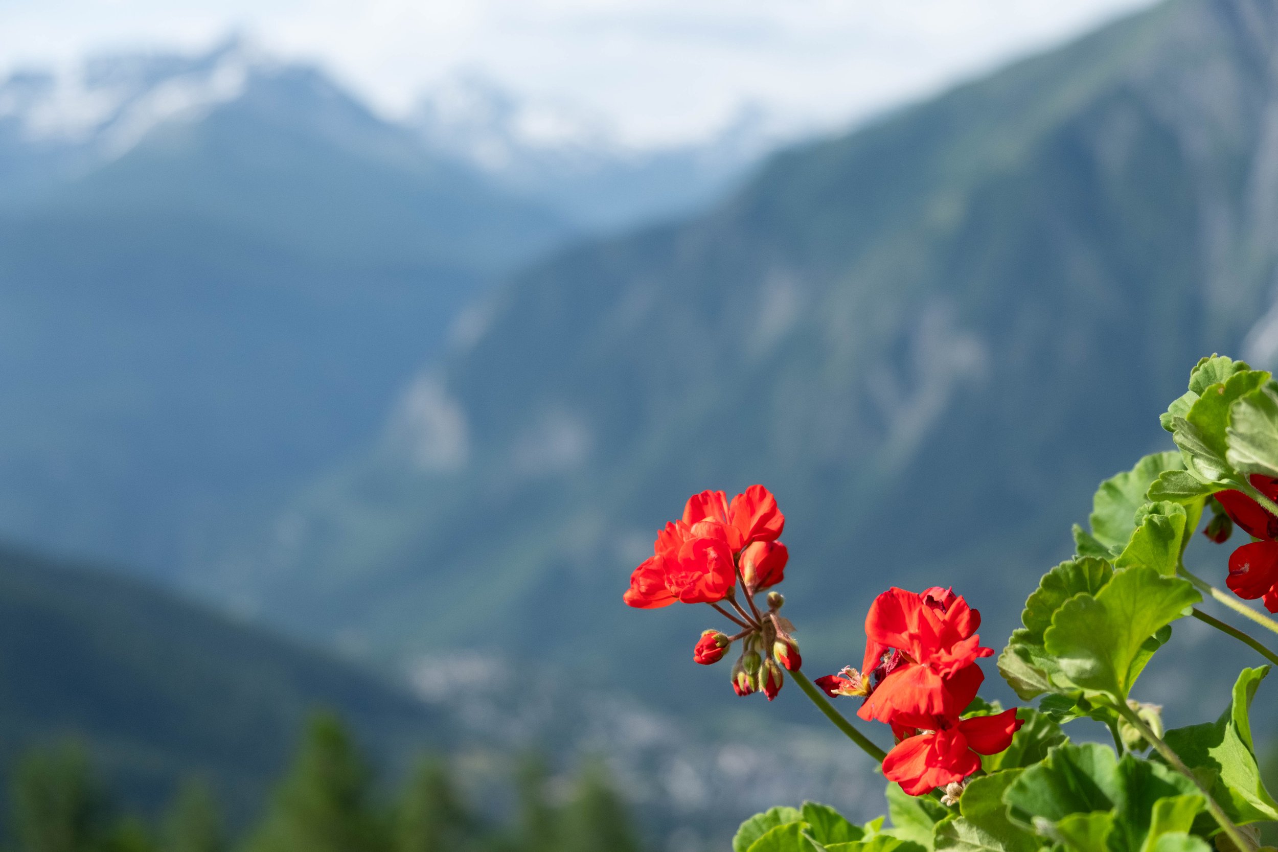
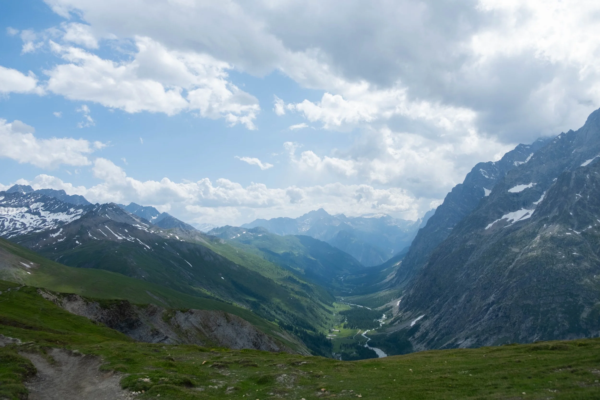
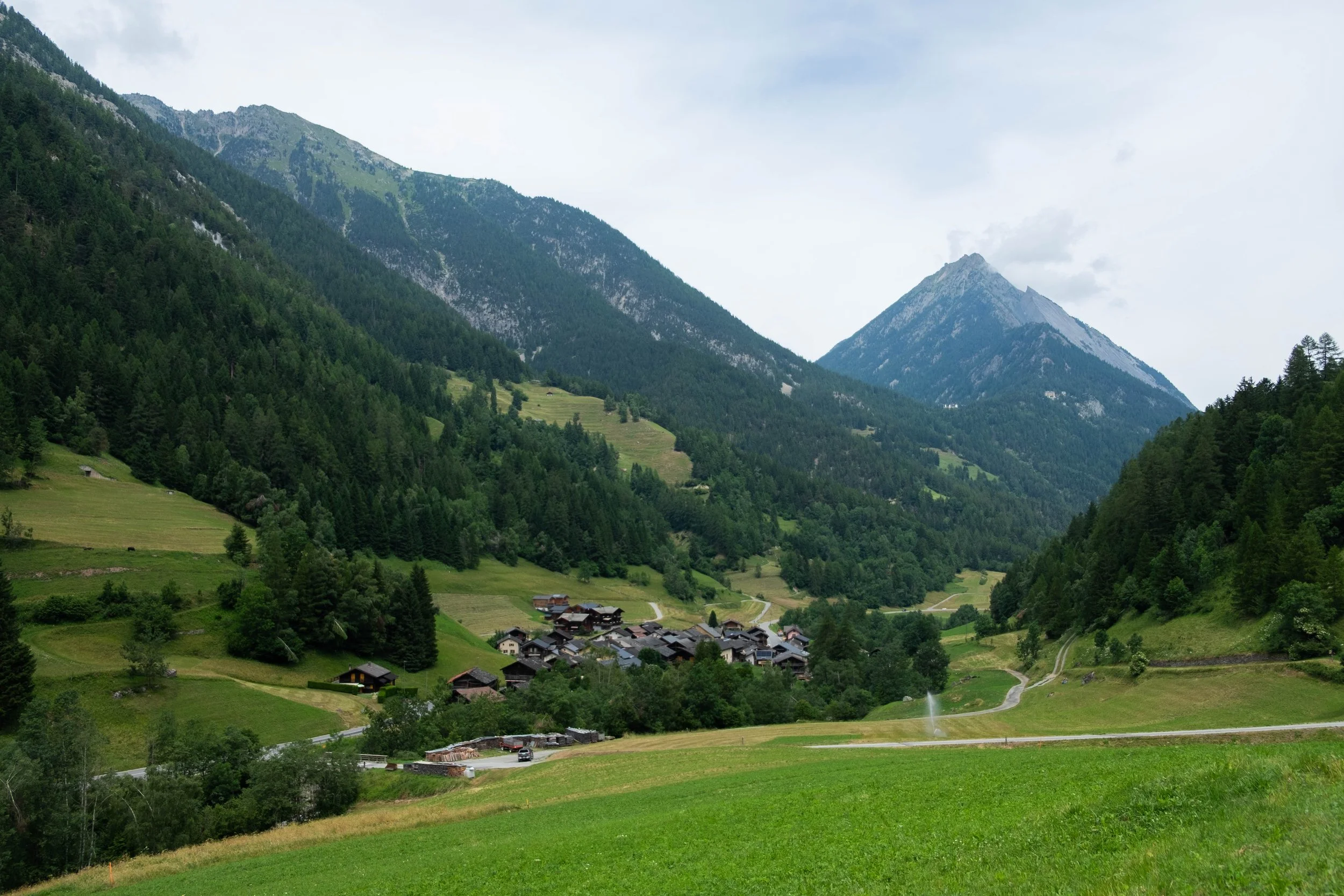
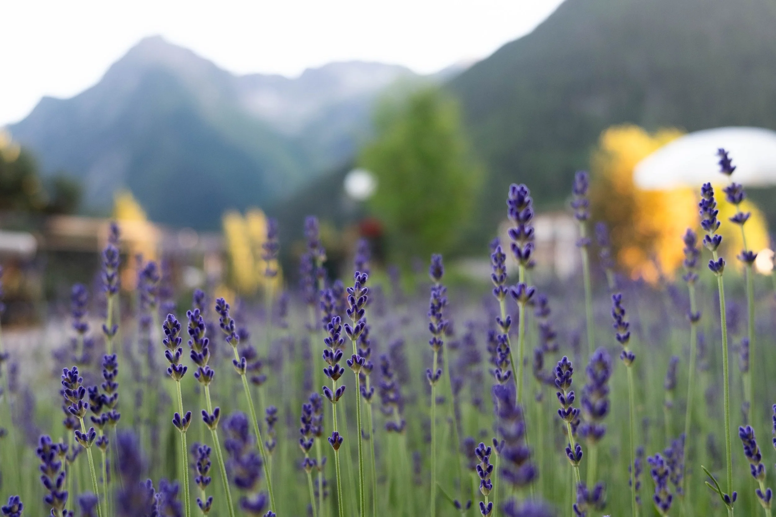
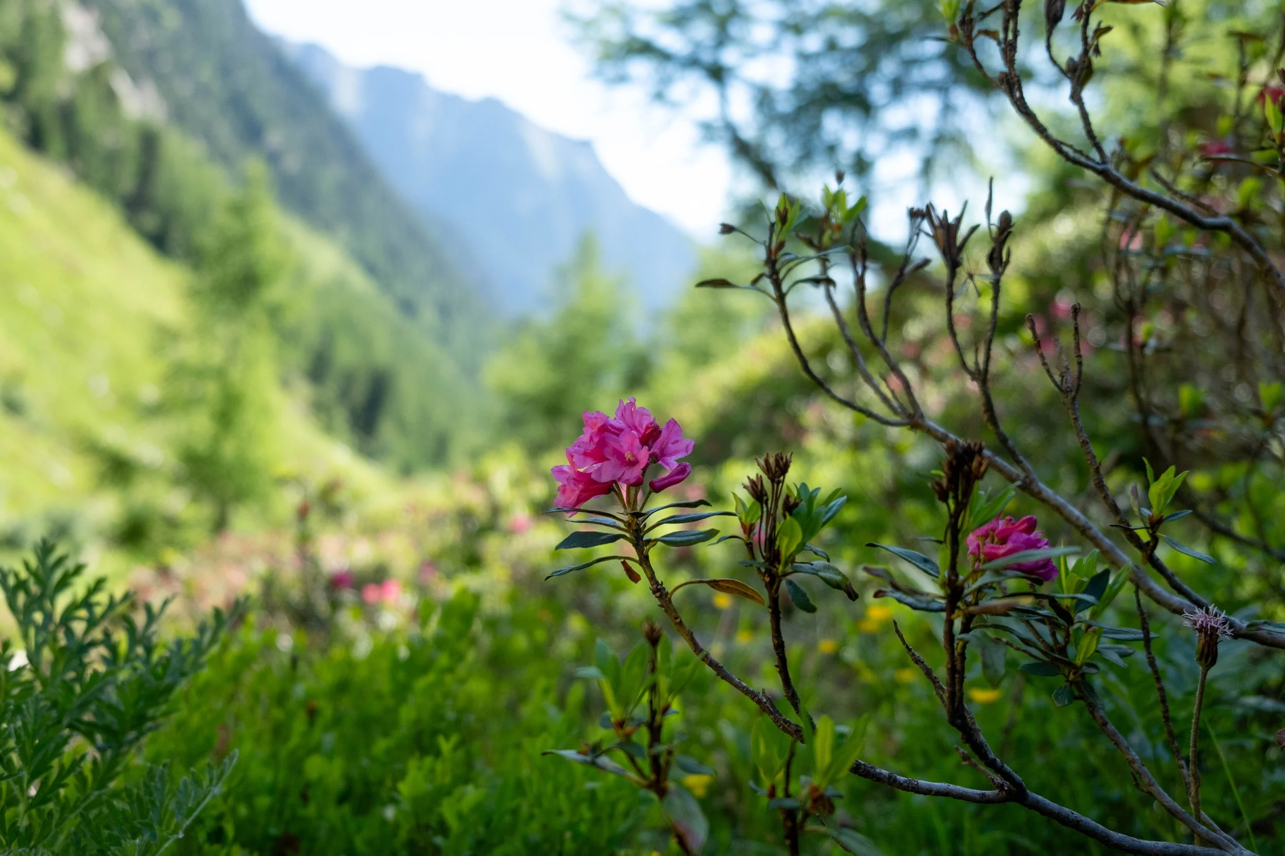
The conditions were clear, in sharp contrast to the moody clouds from the day before, revealing the beautiful valley views all around us. The trail was mostly a gentle downward slope which ended up feeling like a nice recovery hike. It wended through green valleys filled with blooming yellow gentian, waterfalls cascading down from the mountaintops, and charming Swiss villages along the way. Vibrant flower pots overflowed on each doorstep and windowsill, the narrow streets zigzagged between old homes and barns, and raspberries were beginning to turn red on their vines in the small gardens next to many of the houses.
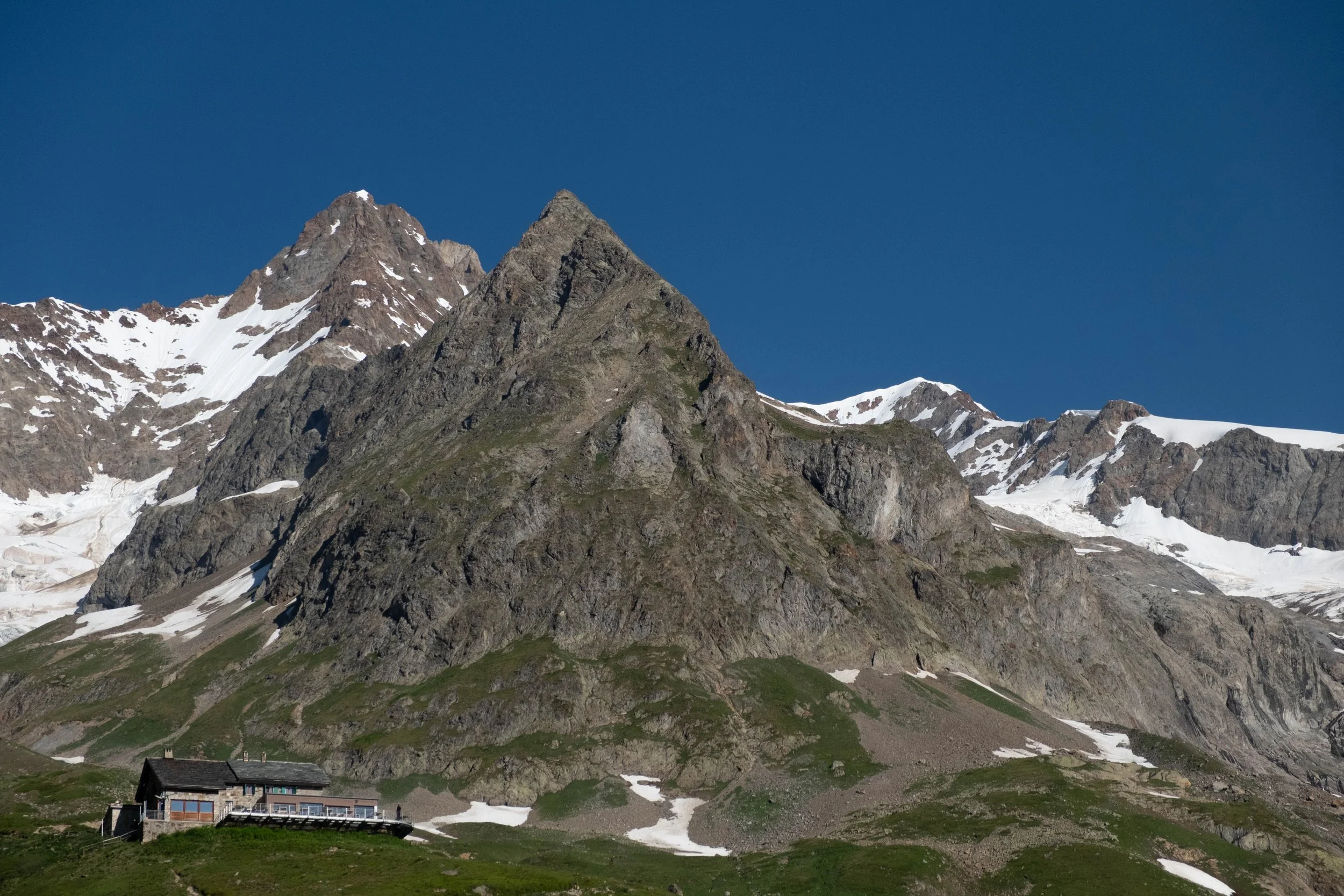
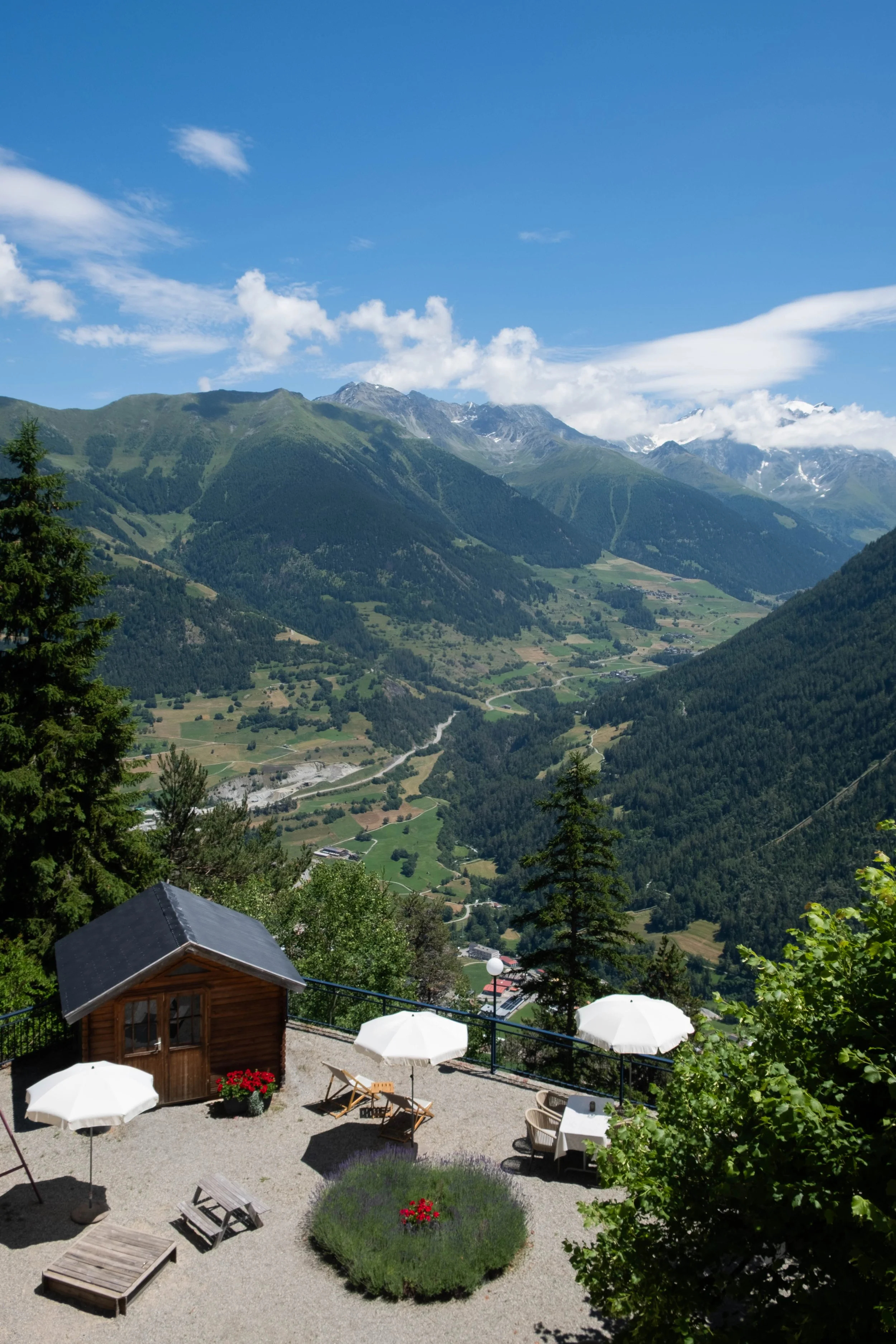
We shared the trail with friends made earlier on the TMB, two men from Poland and a couple from Boulder on their honeymoon. Conversation flowed easily and the day slipped by quickly. We hit the climb up to Champex-Lac right around noon, a sweaty ascent although the “route of mushrooms,” guided by Charlotte la Marmotte. Our final destination, a truly stunning historic hotel, could be glimpsed from its perch high in the mountains above us.
Champex-Lac was one of my favorite stops on the tour. I could have easily enjoyed an extra day here: Swimming in the lake (most lakes forbade swimming, so it was a delight to find one where it was allowed!), relaxing on the terrace at our hotel with a glass of rosé, golden hour overlooking two long and picturesque valleys, wandering to the high alpine botanic gardens at the other end of the town.
Switzerland, you’re a beaut. 🌸

Day 7: Champex to Trient | Auberge de la Grande Ourse, Switzerland
Distance: 9.9 miles | Ascent/Descent: +4,038ft/-4,701ft
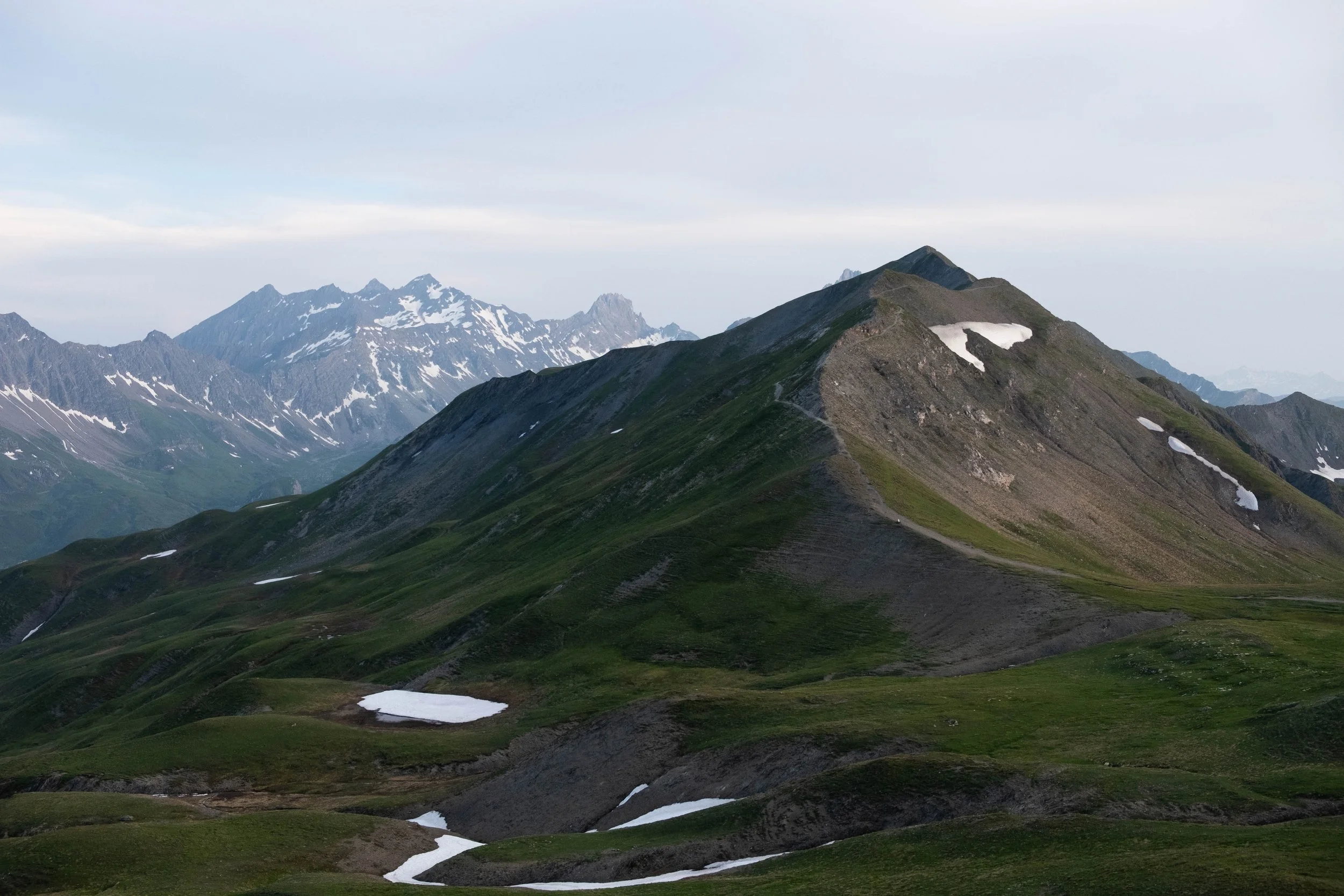
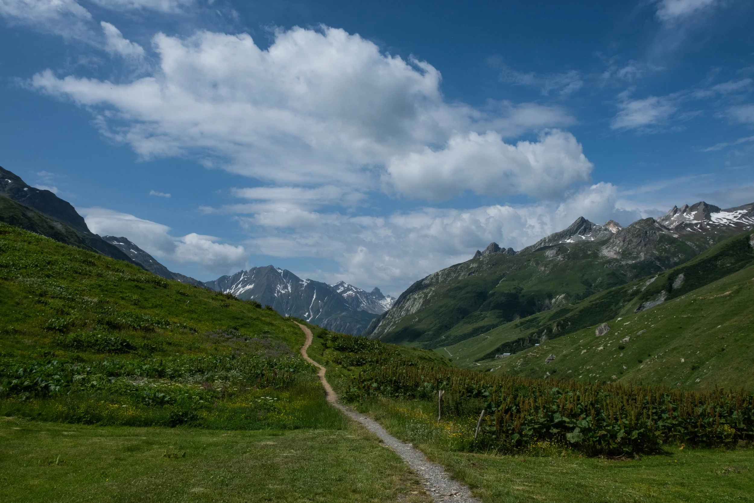
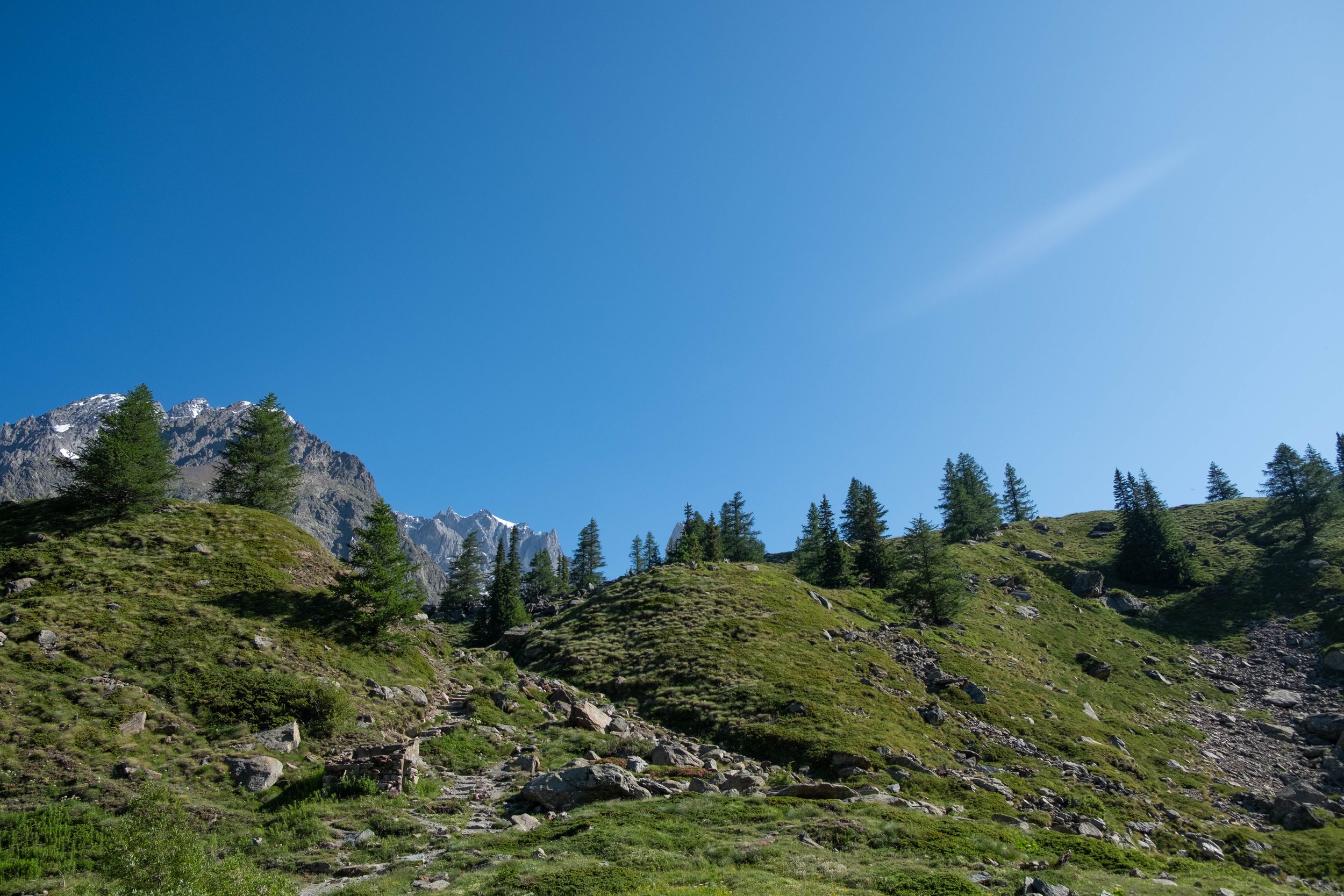
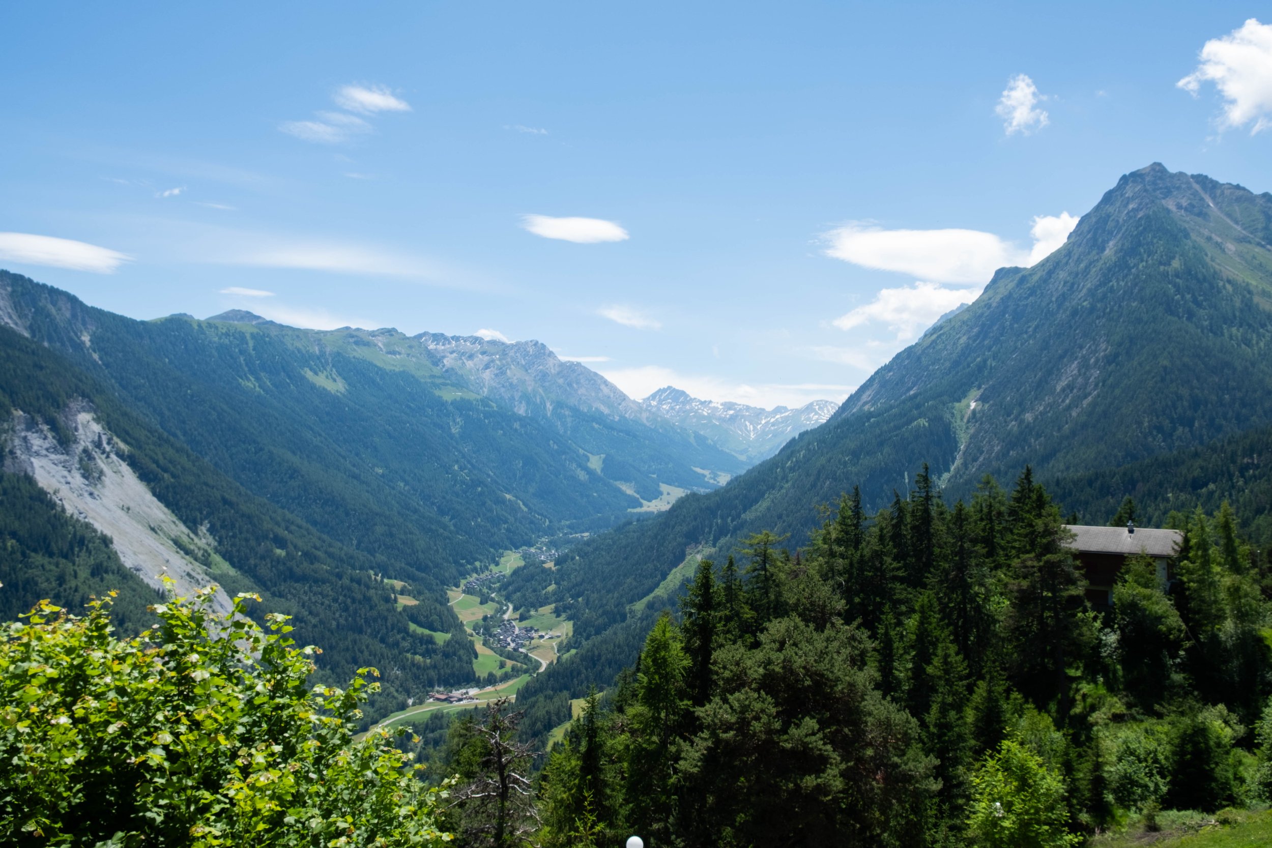
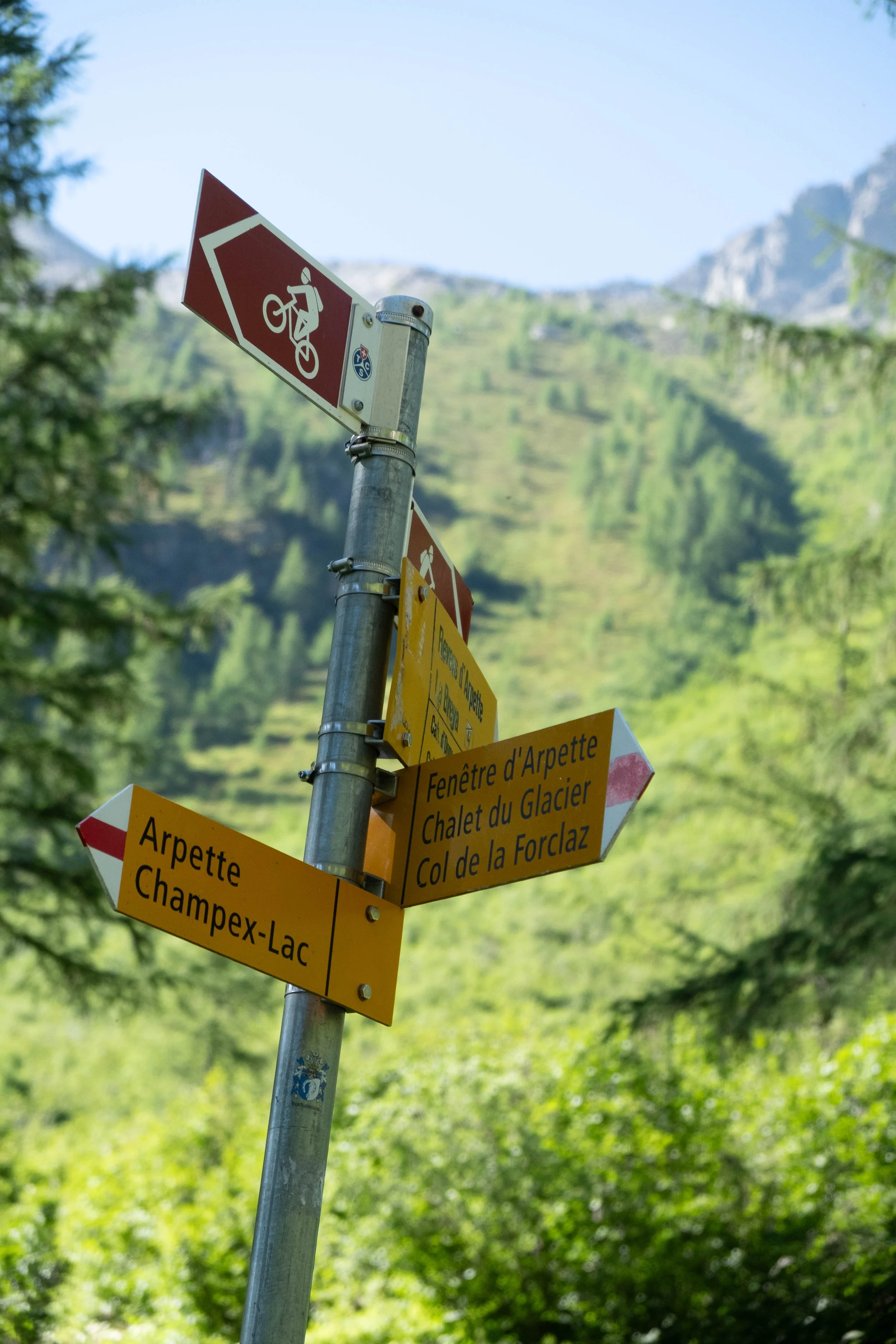
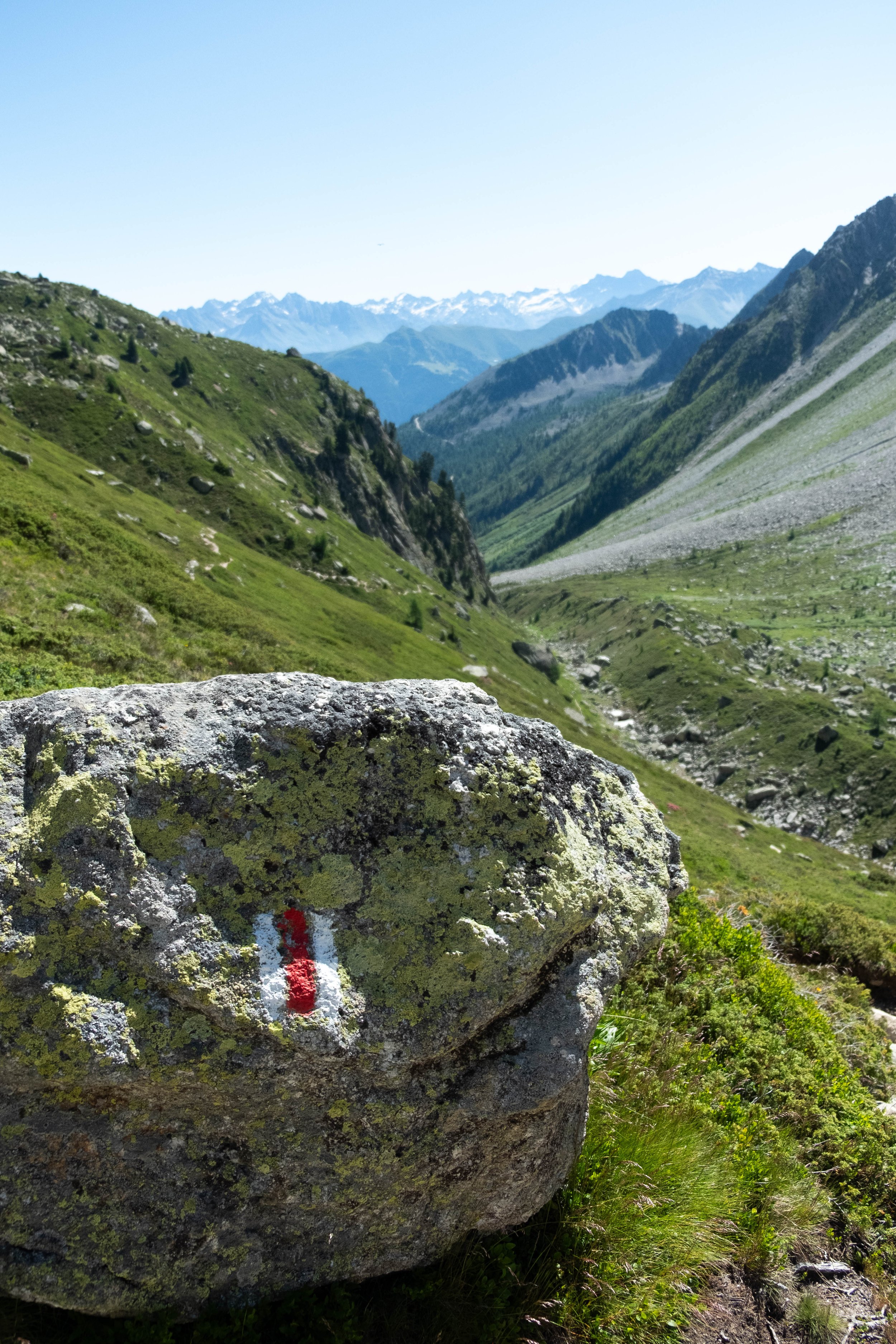
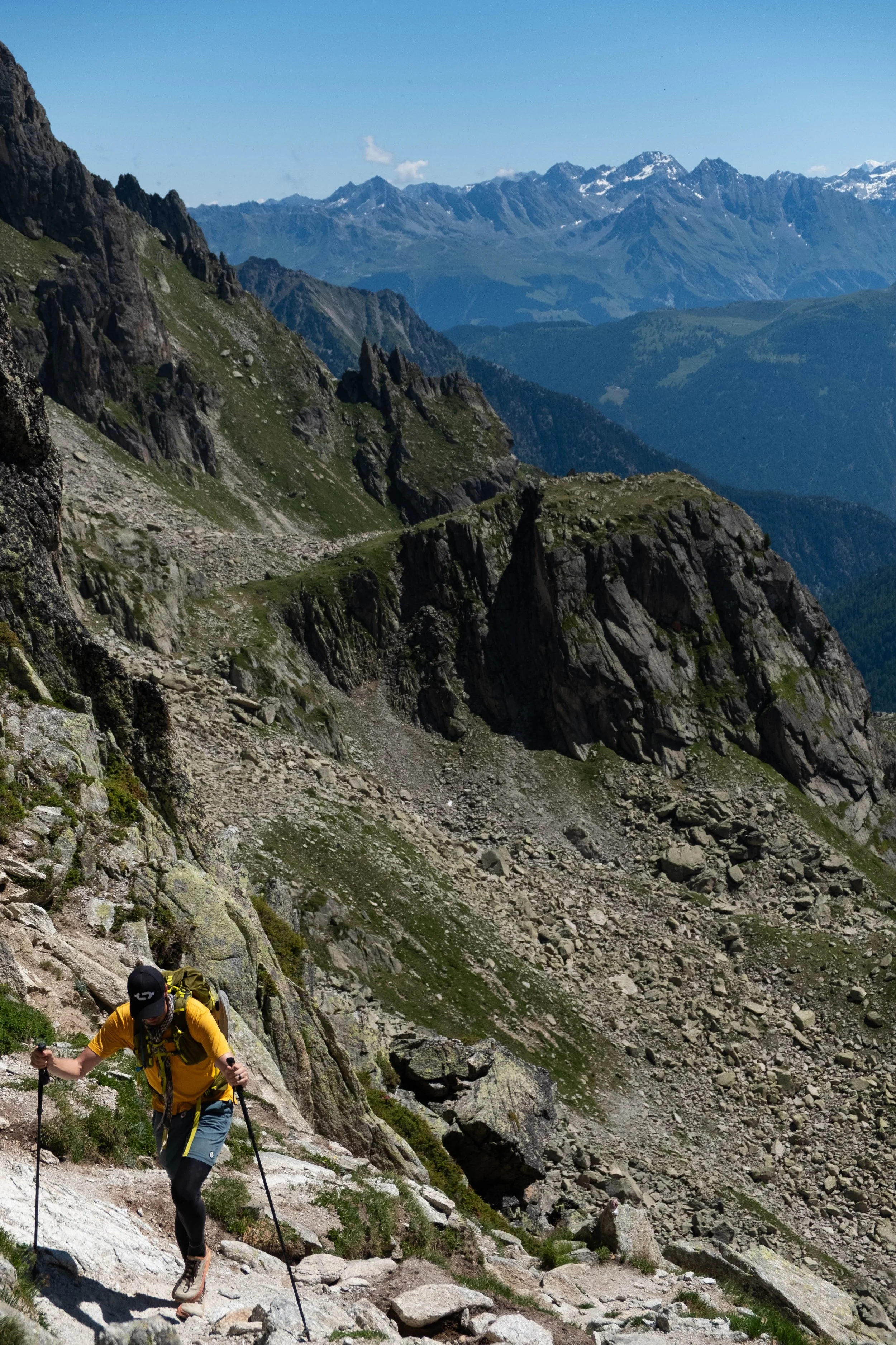
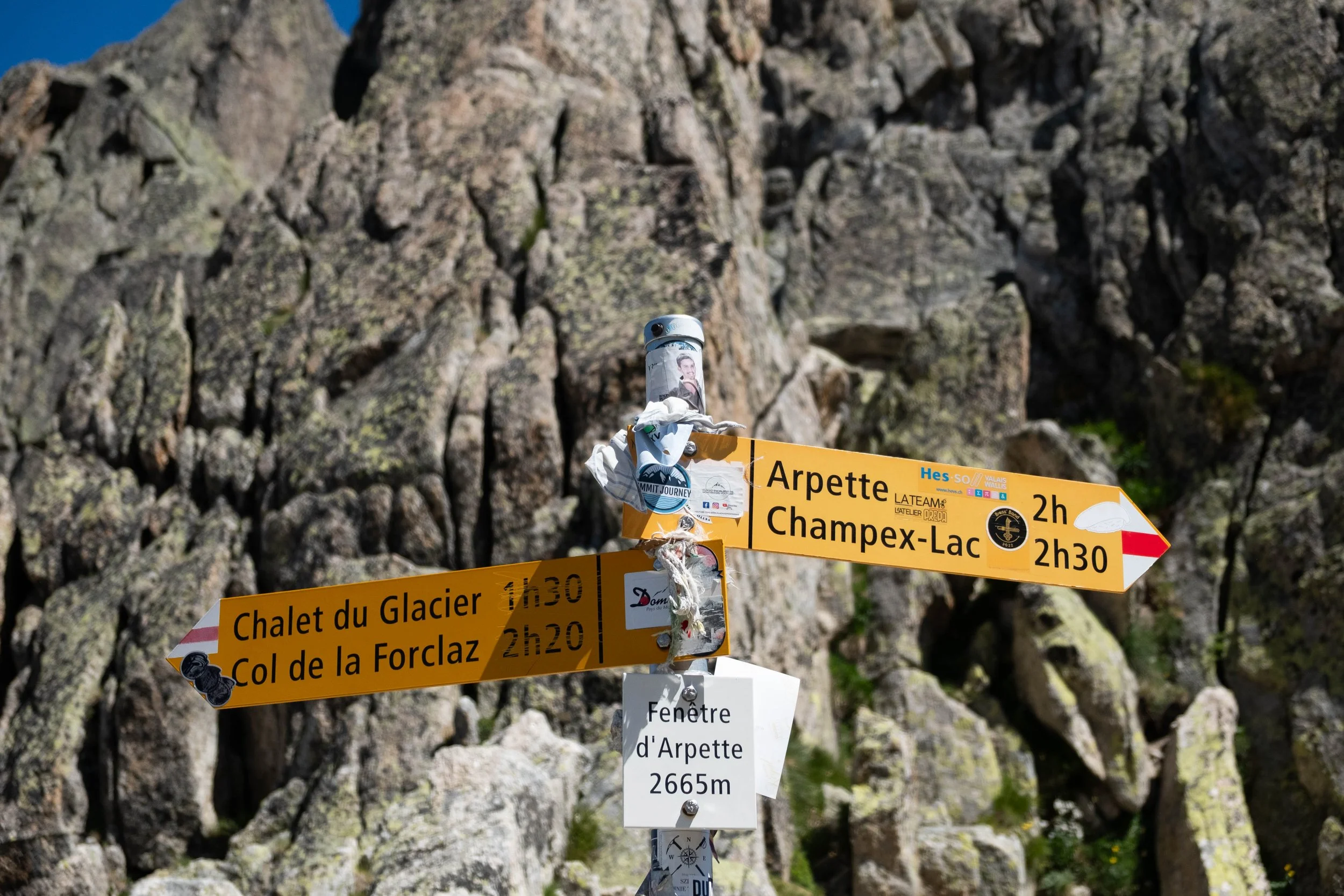
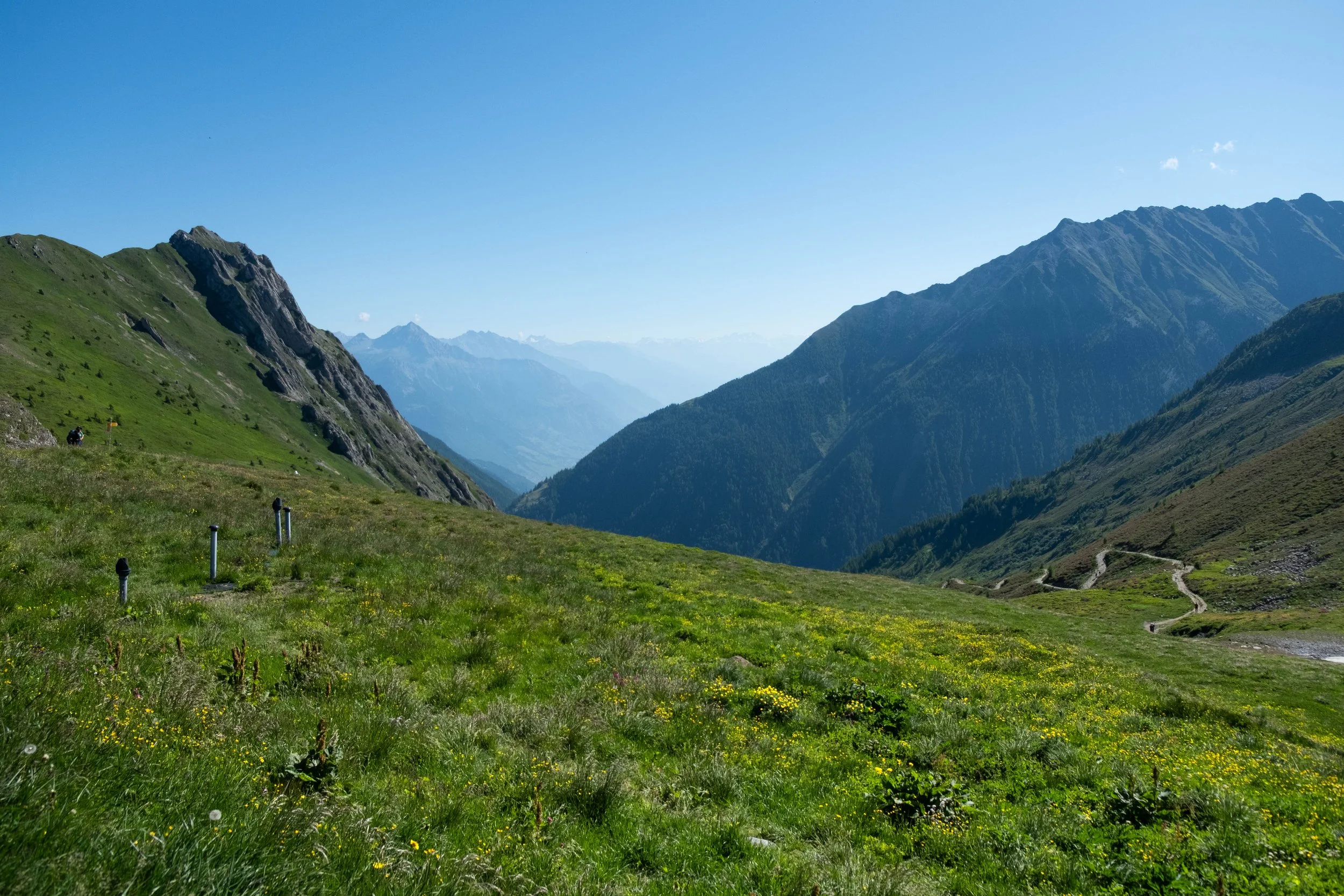
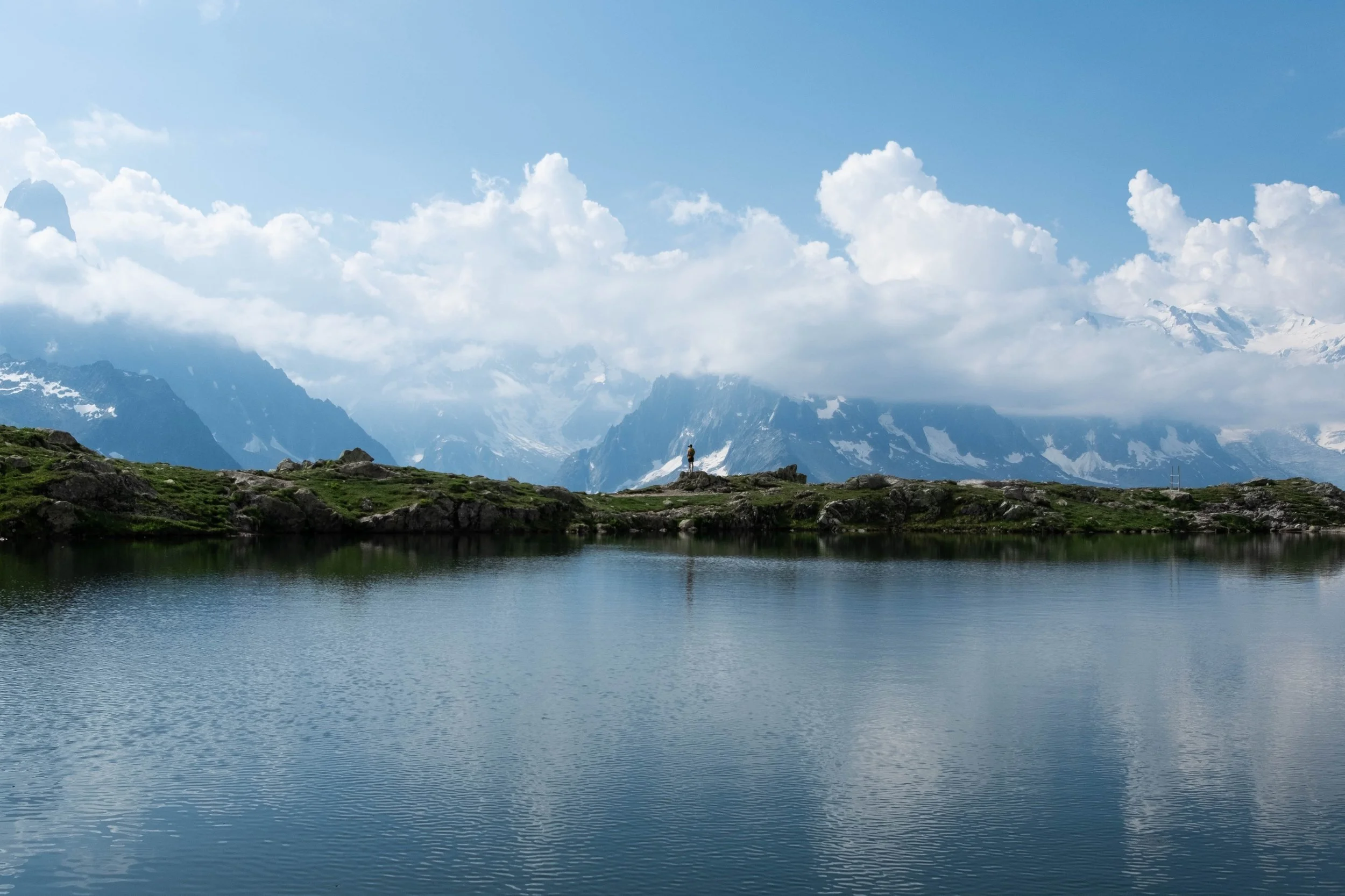
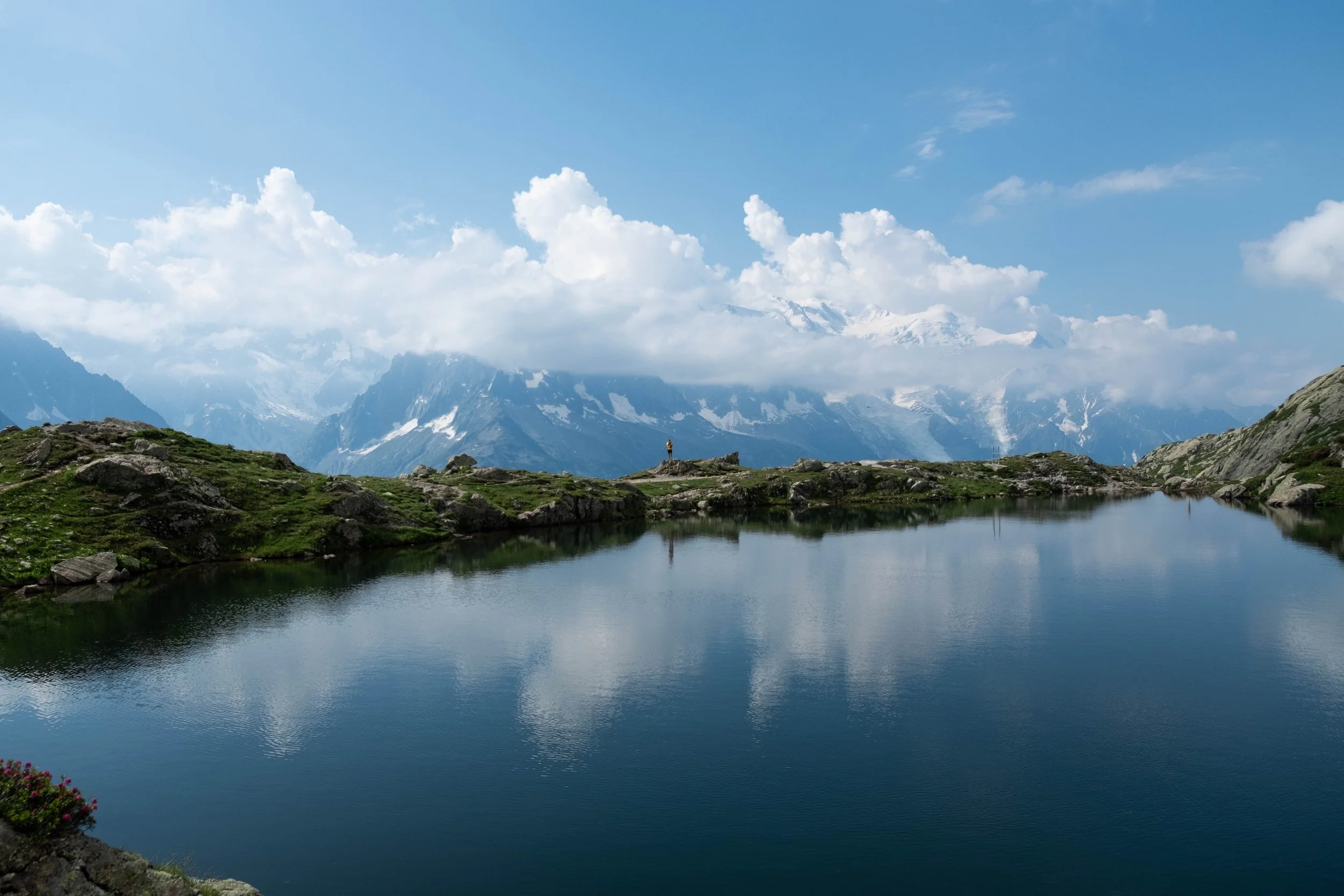
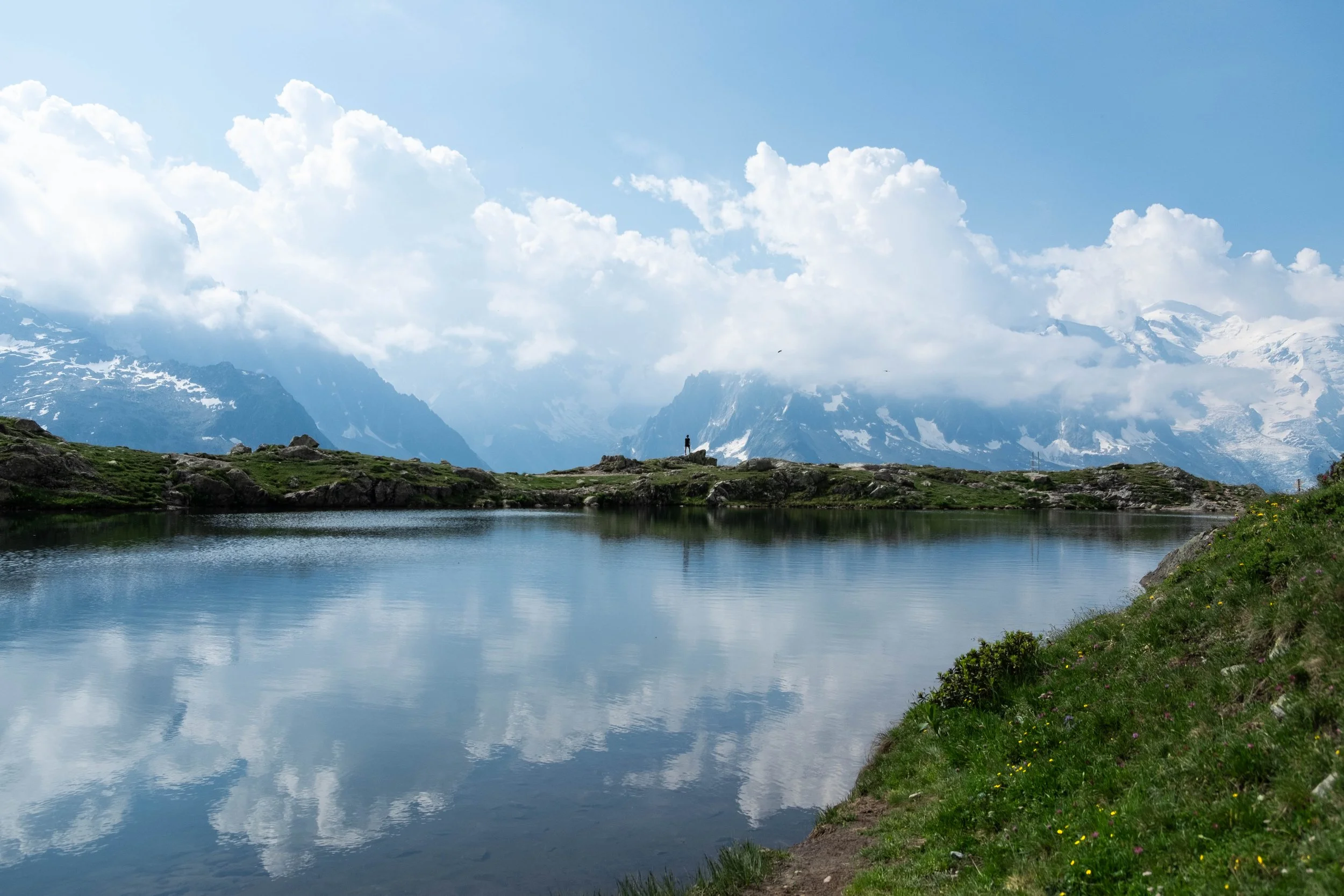
We awoke to a beautiful sunny day, which meant it was safe for us to take the Fenêtre d’Arpette (“the Arpette Window”), the high variant route! 🎉 Our first mile took us along the lake through the center of Champex-Lac. We joined the now-familiar trickle of early morning hikers as they left their lodging and hit the trail. And so it was striking that once we reached the fork — left going to high route, right following the traditional TMB on the lower route — we found ourselves alone. The majority of the morning hike was unexpectedly but not unpleasantly empty of other hikers. We would eventually catch up with the handful of others who chose this route, but not until we were a couple miles out from the top.
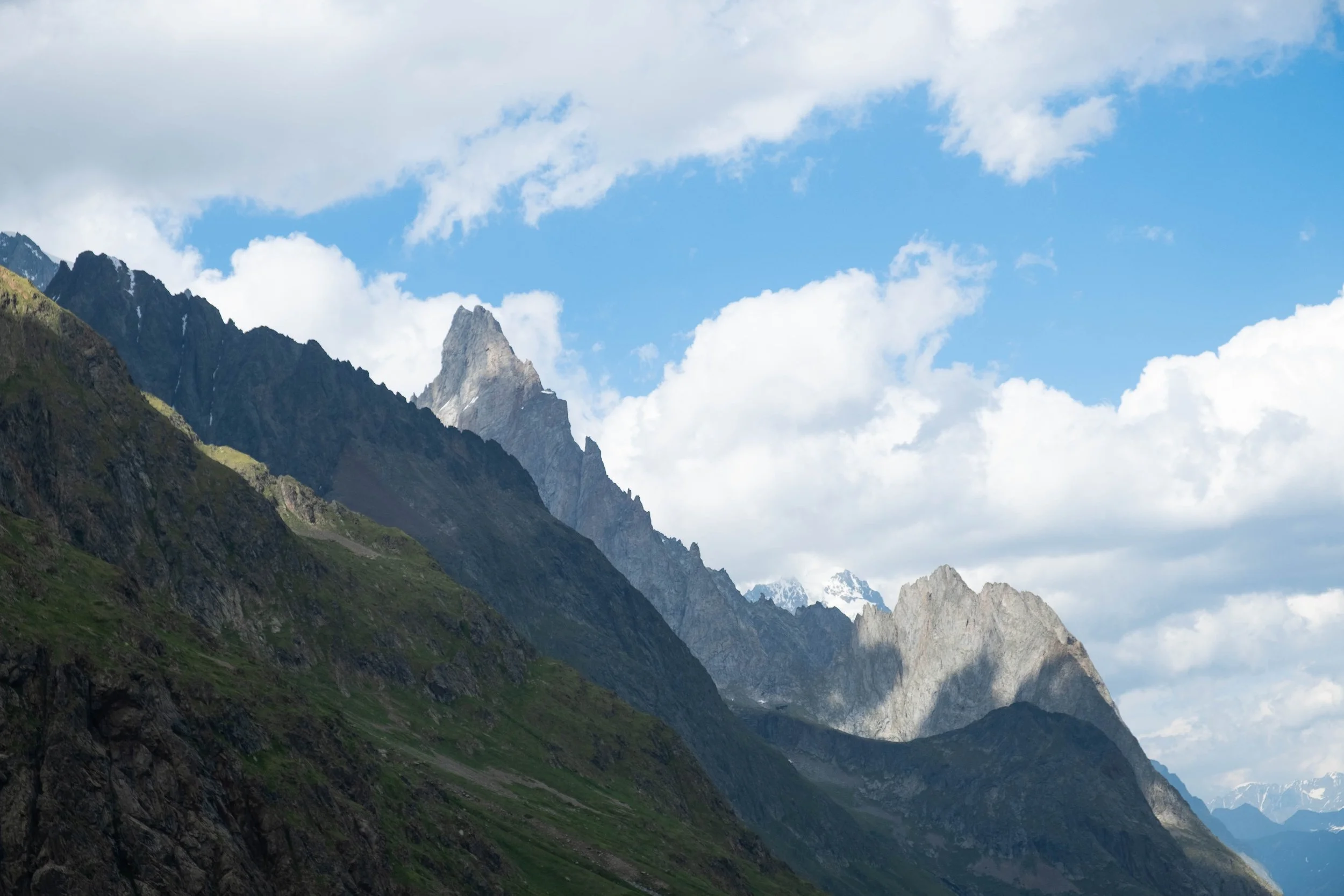
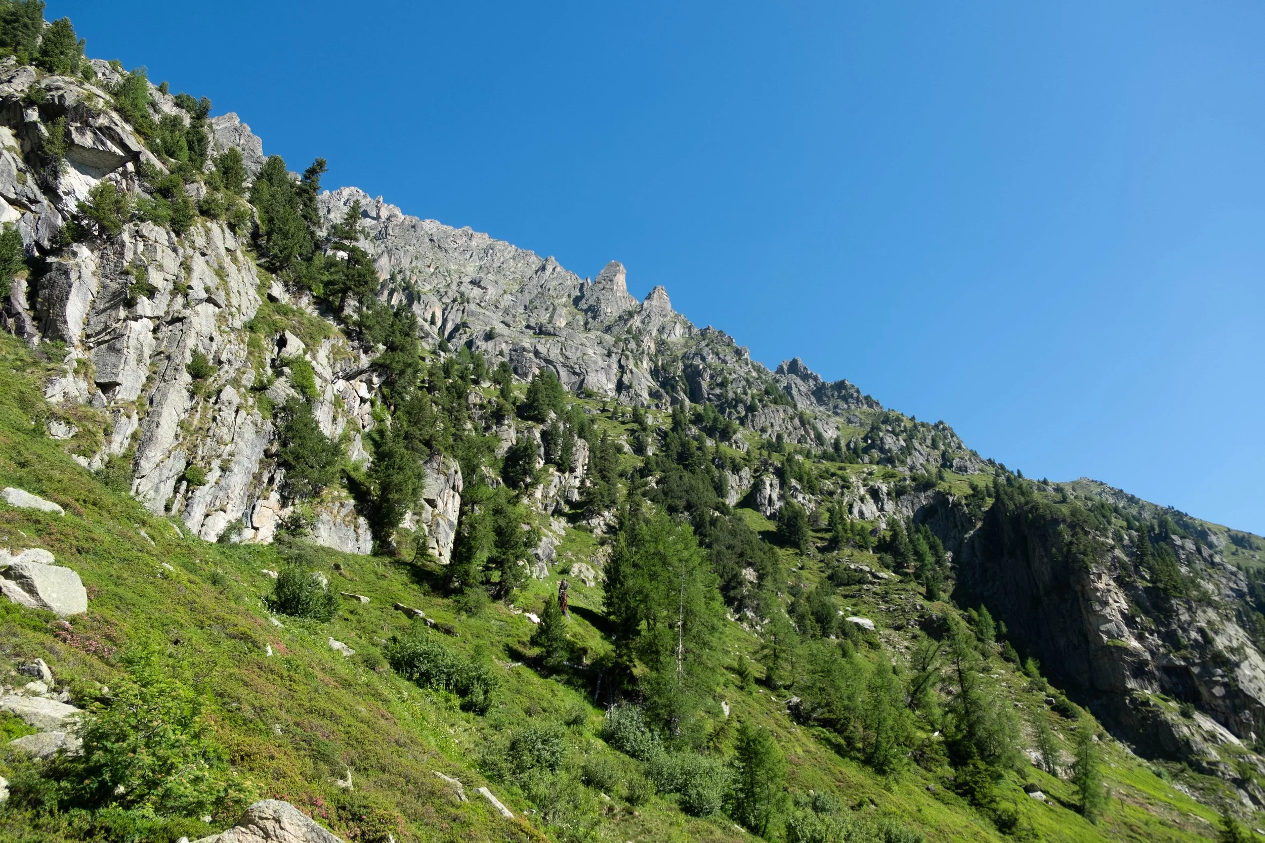
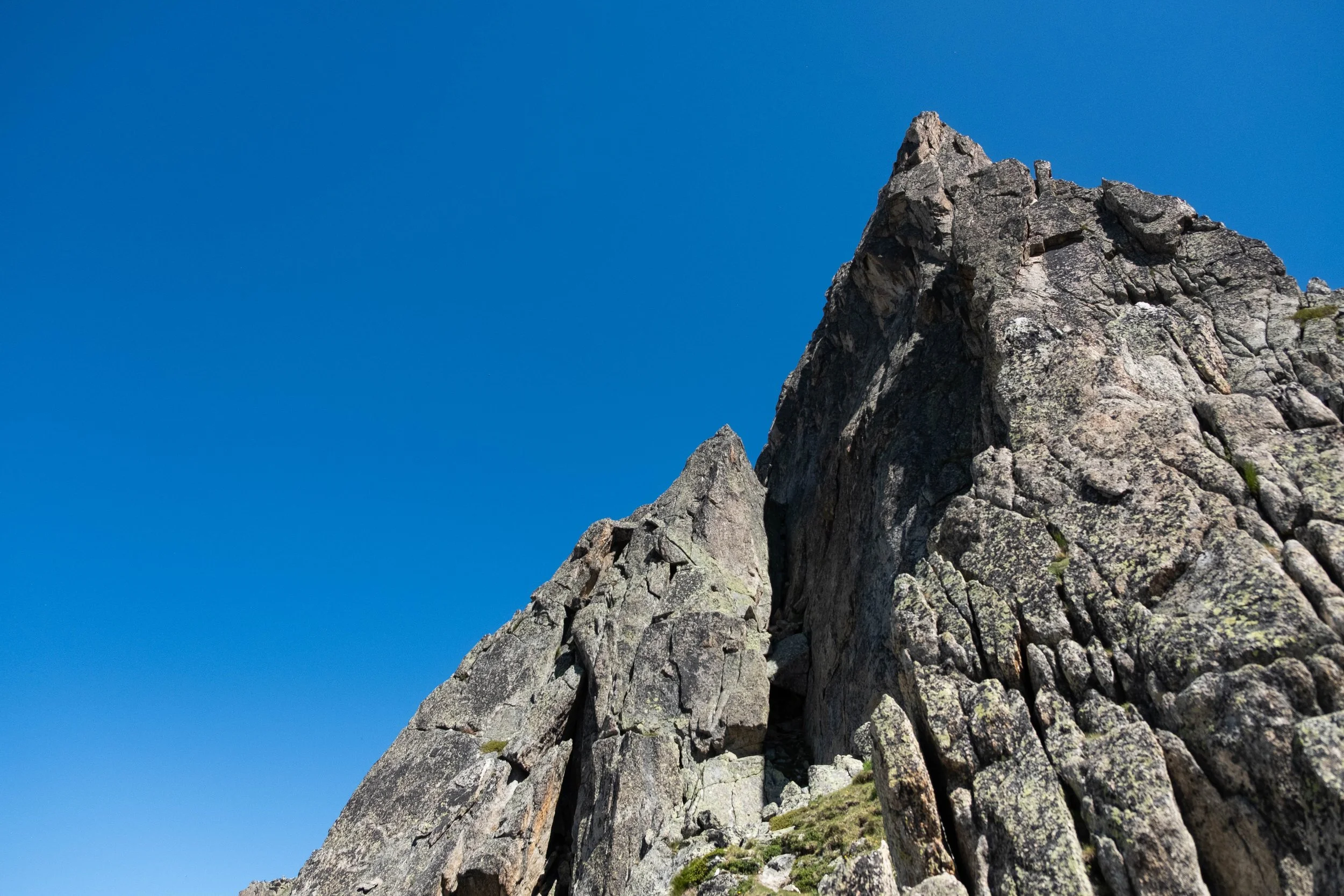
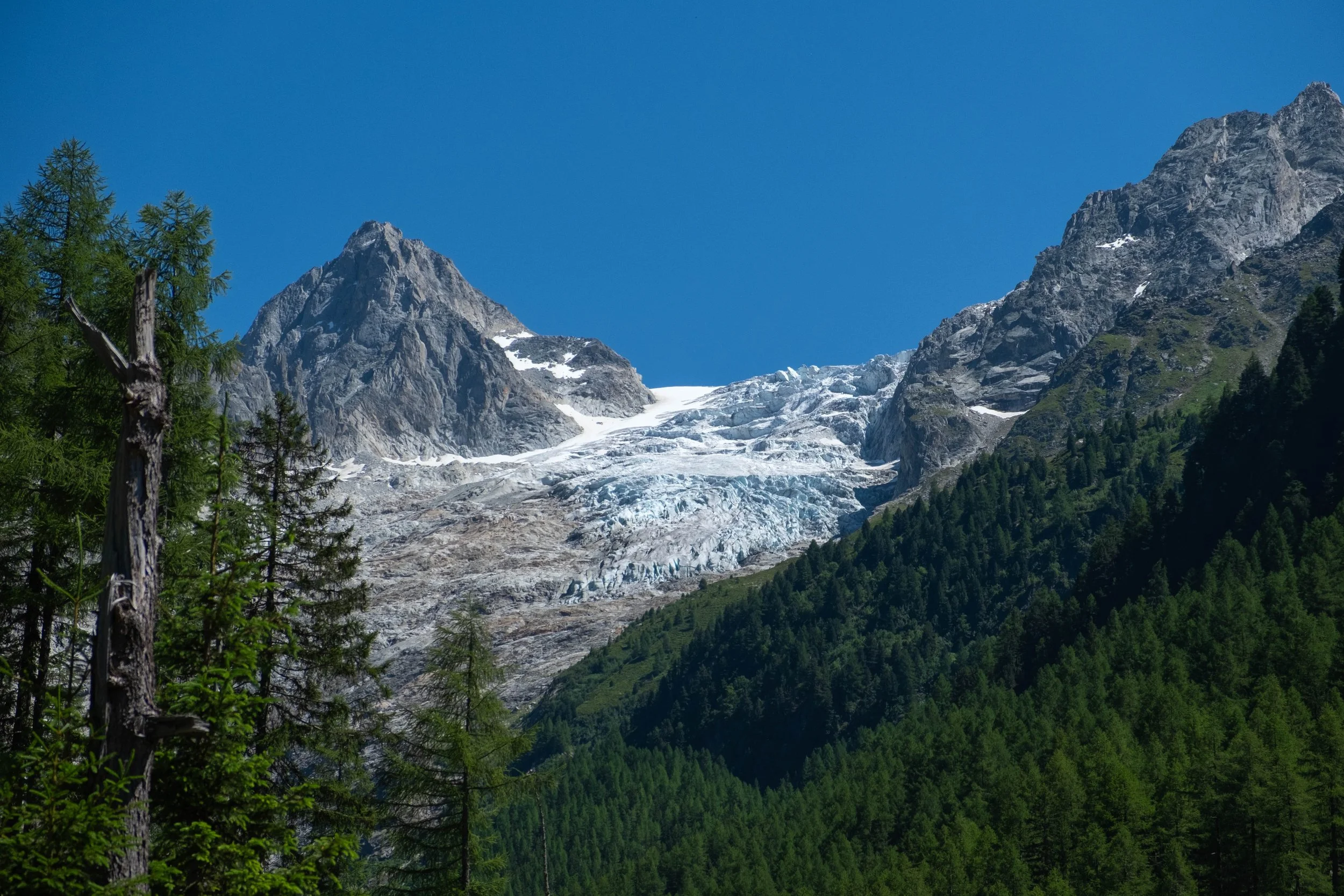
After ascending a forested path to Relais d’Arpette, a refugio that sits with a clear view of the full climb up to the window, we locked in for the rest of the climb. This was one of the more challenging hikes for me, partially due to the steep climb near the end, but probably more due to the heat. The trail was vertical enough that we stashed our poles to scramble over boulders and up scree fields. The switchbacks near the top were unrelenting, but the resulting view was incredible in both directions, including a close-up of Trient Glacier.
Reaching the top was an accomplishment in its own right, but the first two miles of the descent were just as brutal — straight down, hot, and requiring a high level of mental attention to not slip and fall.
Once we reached the valley, we stopped at Chalet du Glacier, a waypoint that sticks in our minds because it was so needed! We ordered sorbet and an ice-cold kombucha, both of which tasted heavenly. After this break, it was a quick 45 minutes further to our accommodation in Trient. We promptly showered, met up with trail friends, and enjoyed dinner family-style with other hikers before heading off to bed: our bodies weary but spirits proud.
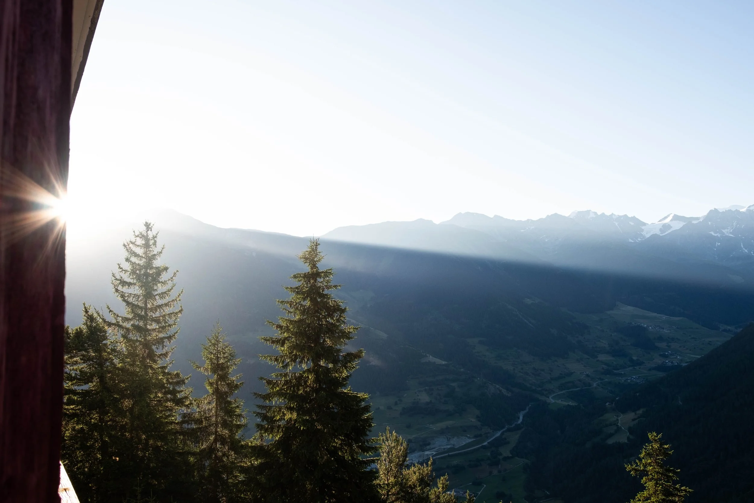

Day 8: Trient to Argentière | Hotel de la Couronne, France
11.5 miles | Ascent/Descent: +3,809ft/-3,848ft
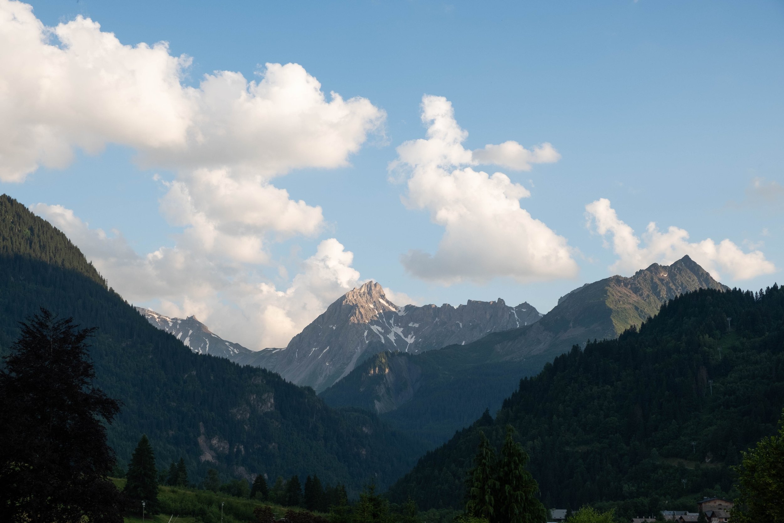
I woke on our second-to-last day starting to feel the sadness growing in my chest that we were almost done with the TMB. We took our time at breakfast and ended up being some of the last people to pack up and head out this morning.
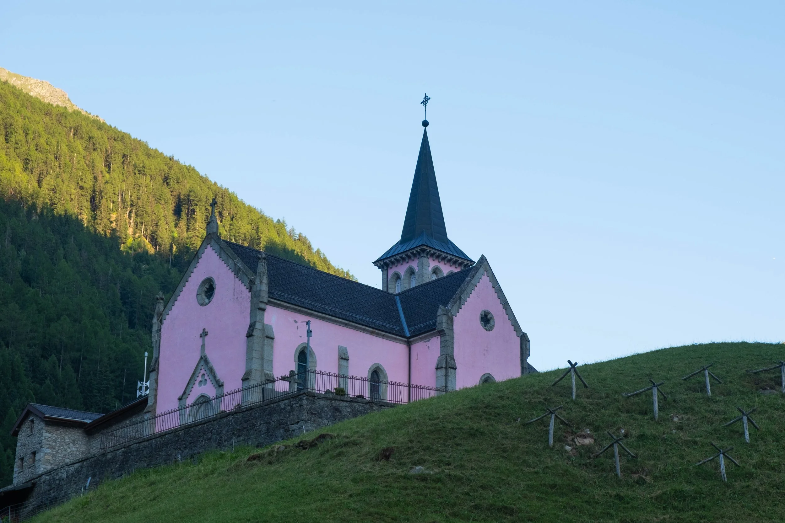
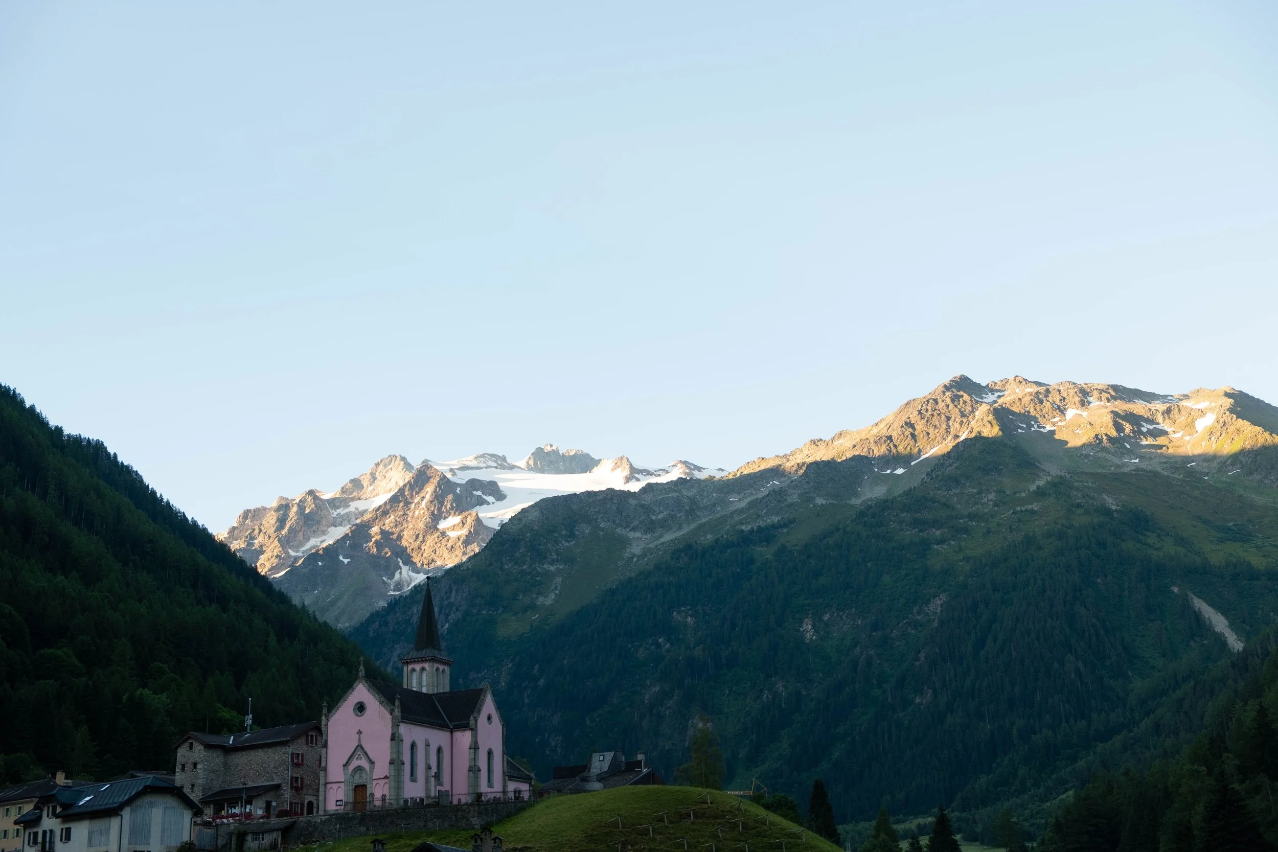
We made up the difference on our first climb out of Trient, exchanging the idyllic little town with its pink steepled church and quiet morning activity for a rhythmic switchback climb up to Col de la Balme. We both felt fresh and strong this morning and were surprised by how quickly the red-shuttered Refuge de Balme came into view on the high pass above us.
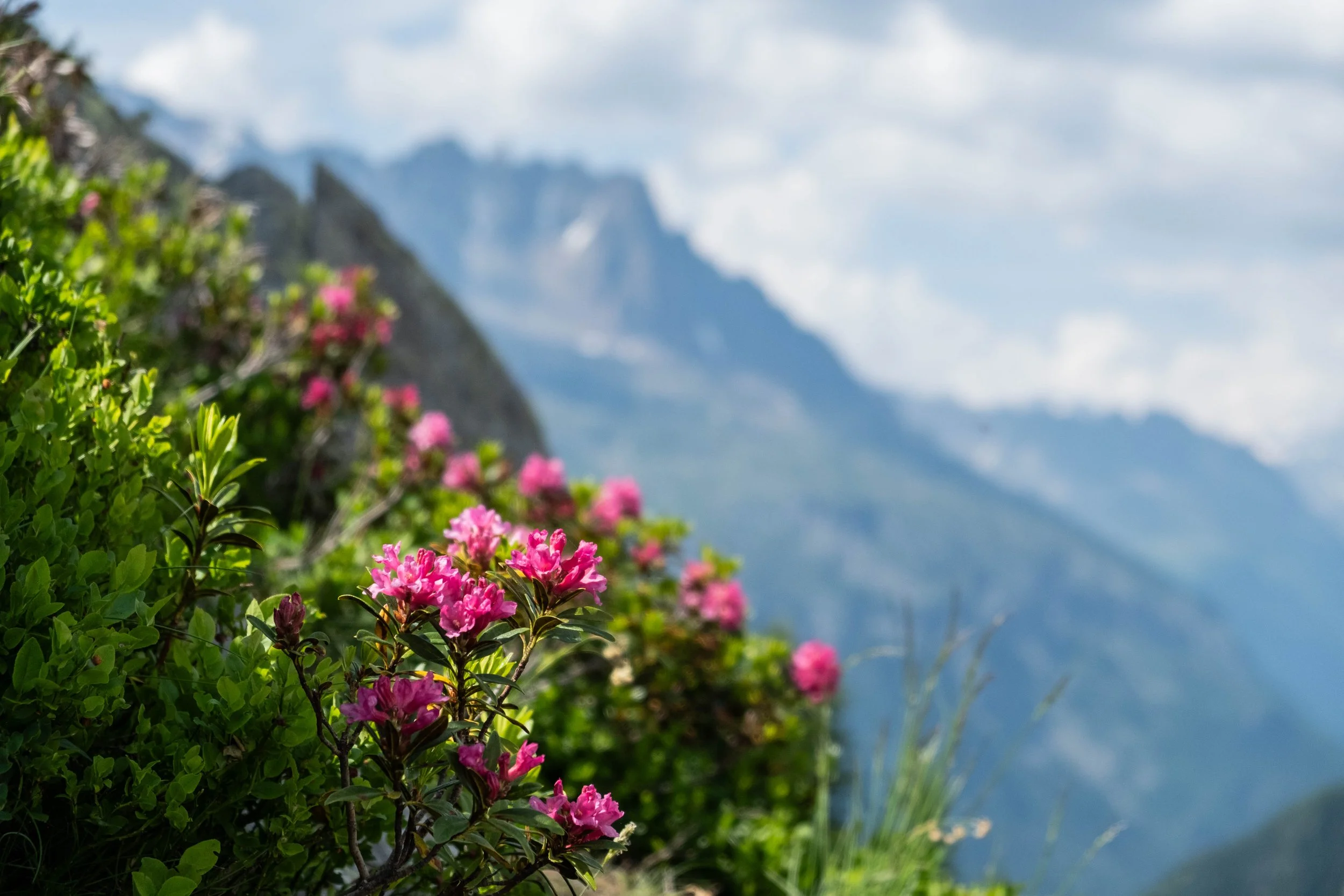
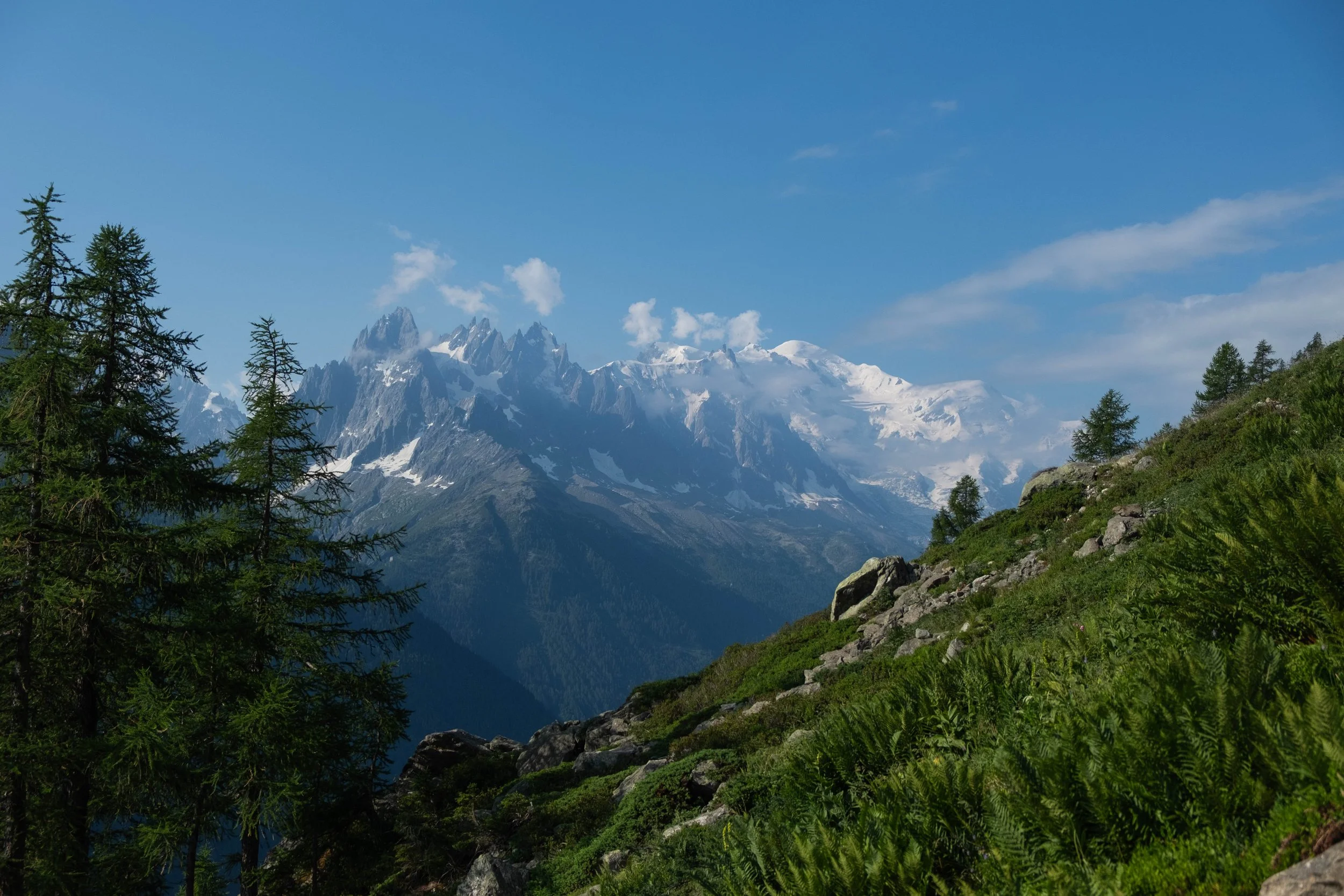
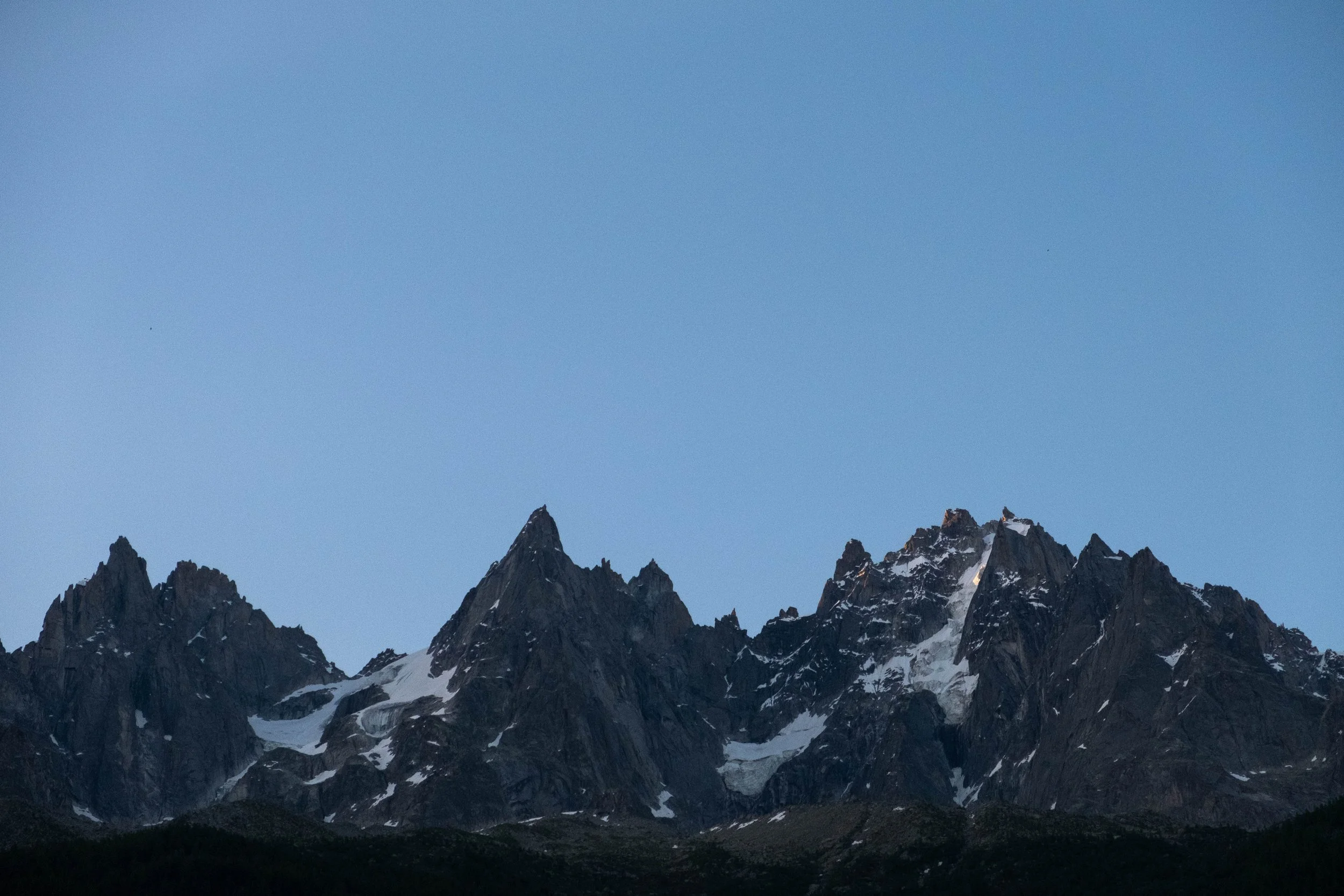
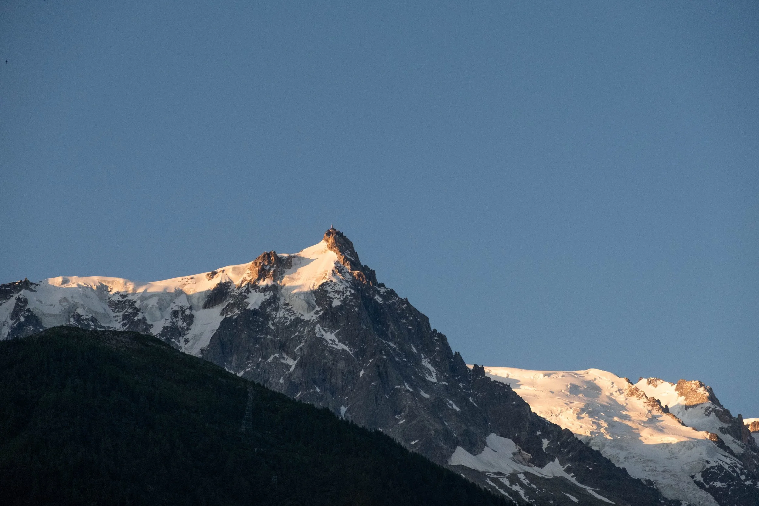
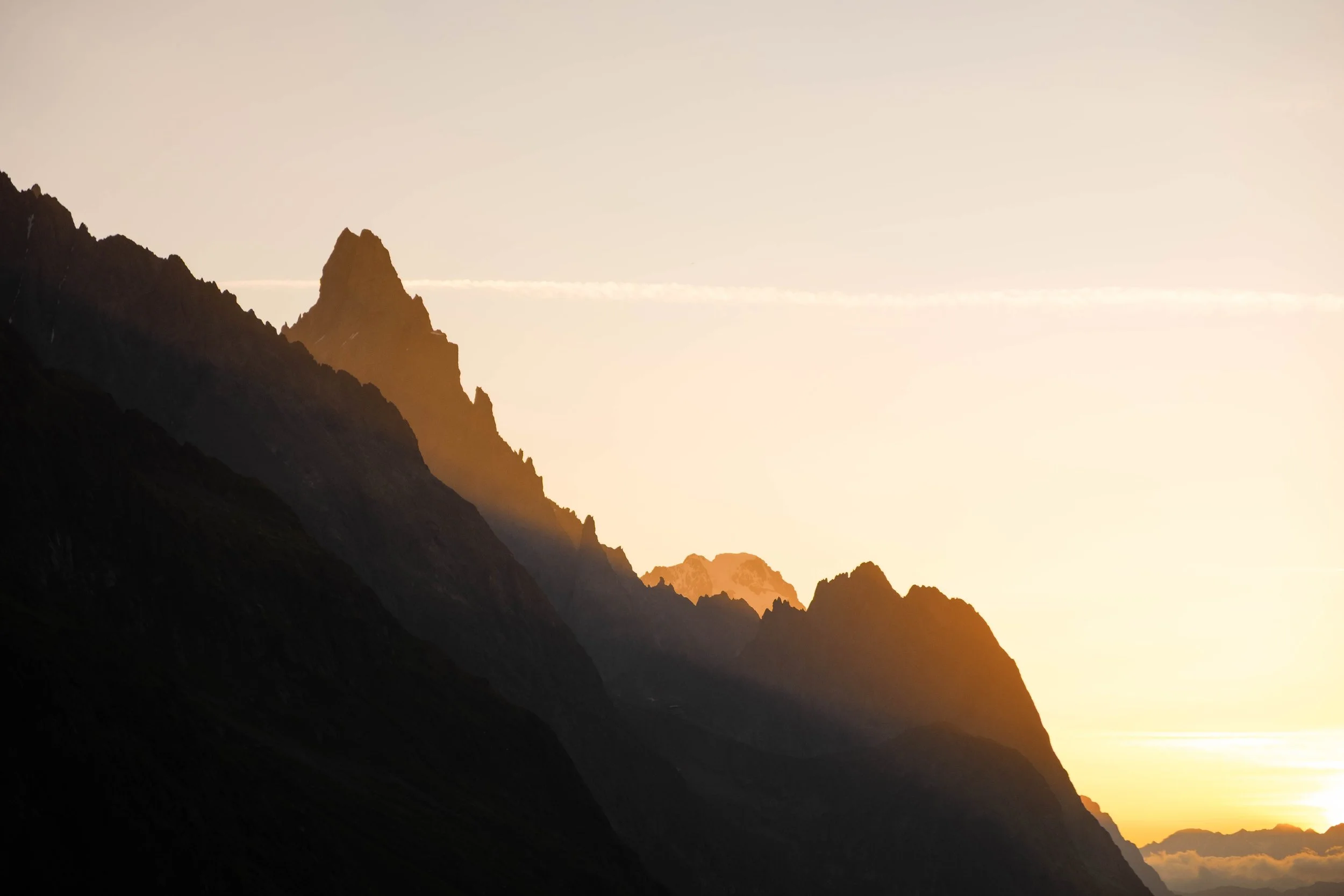
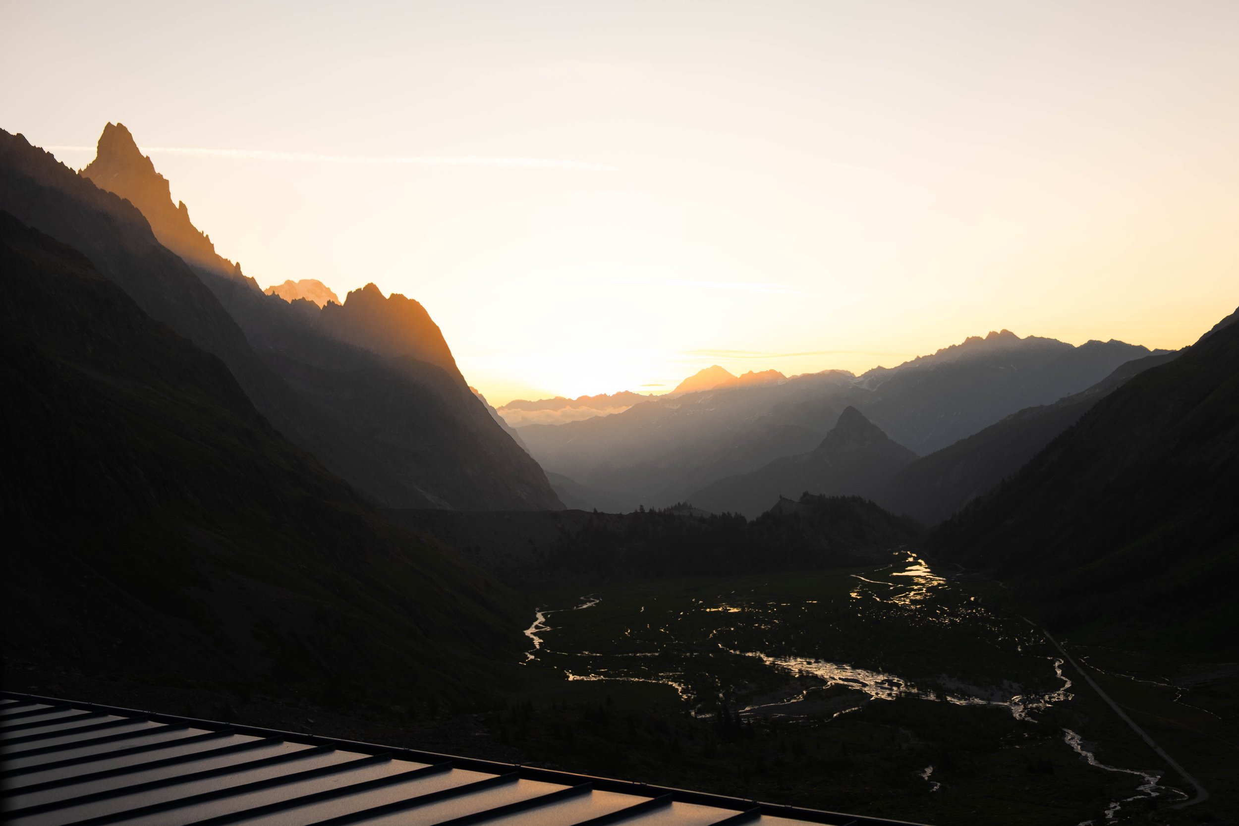
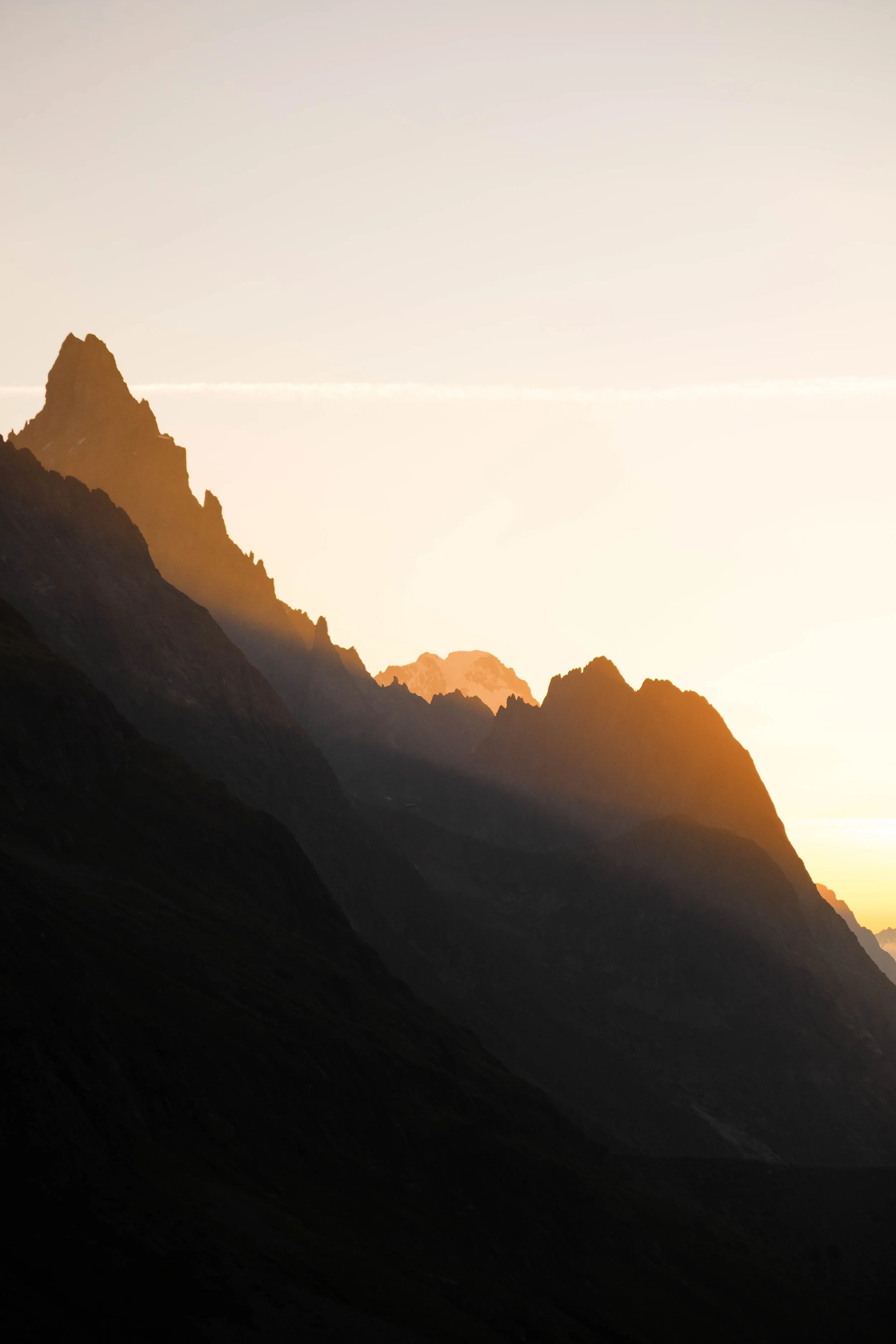
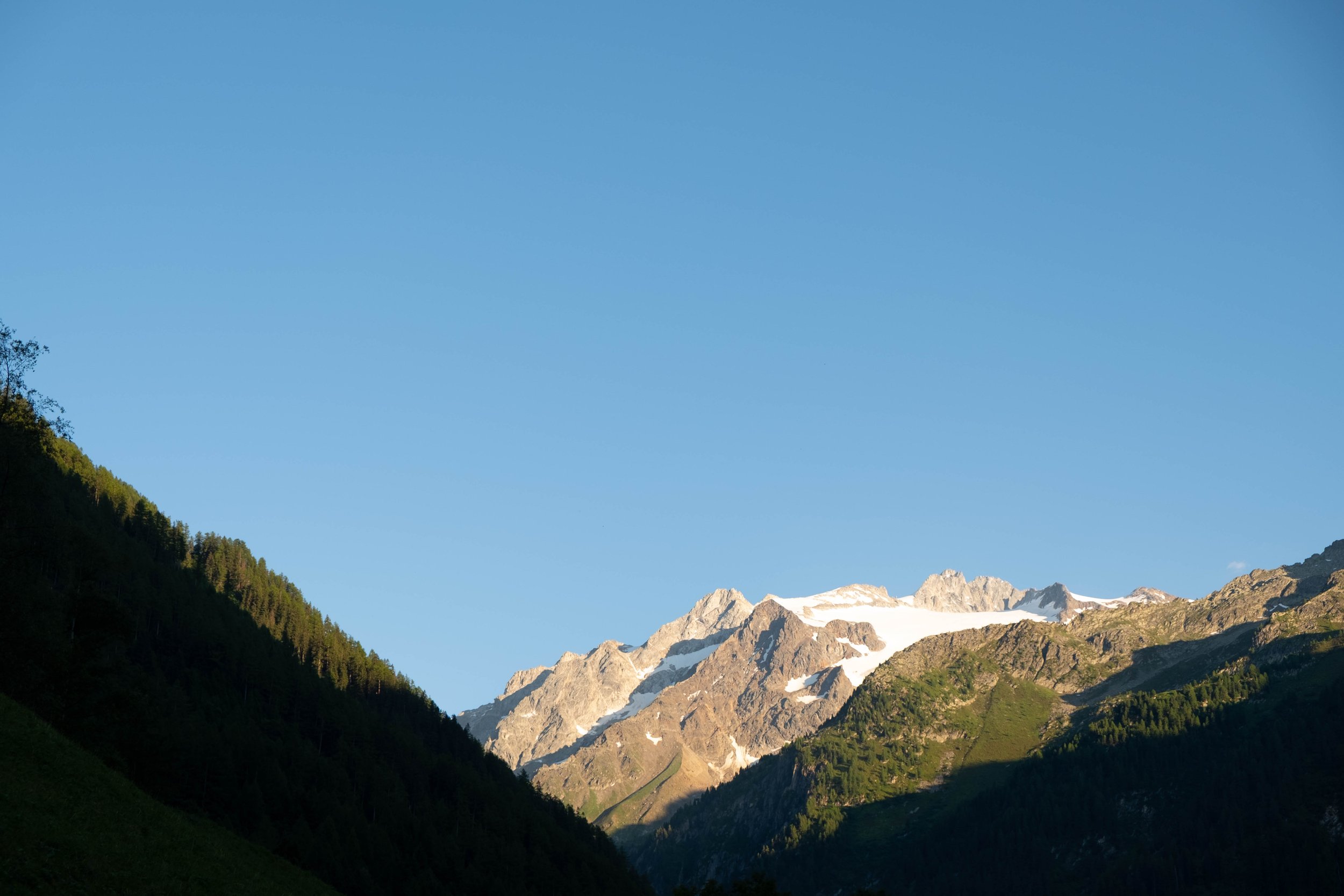
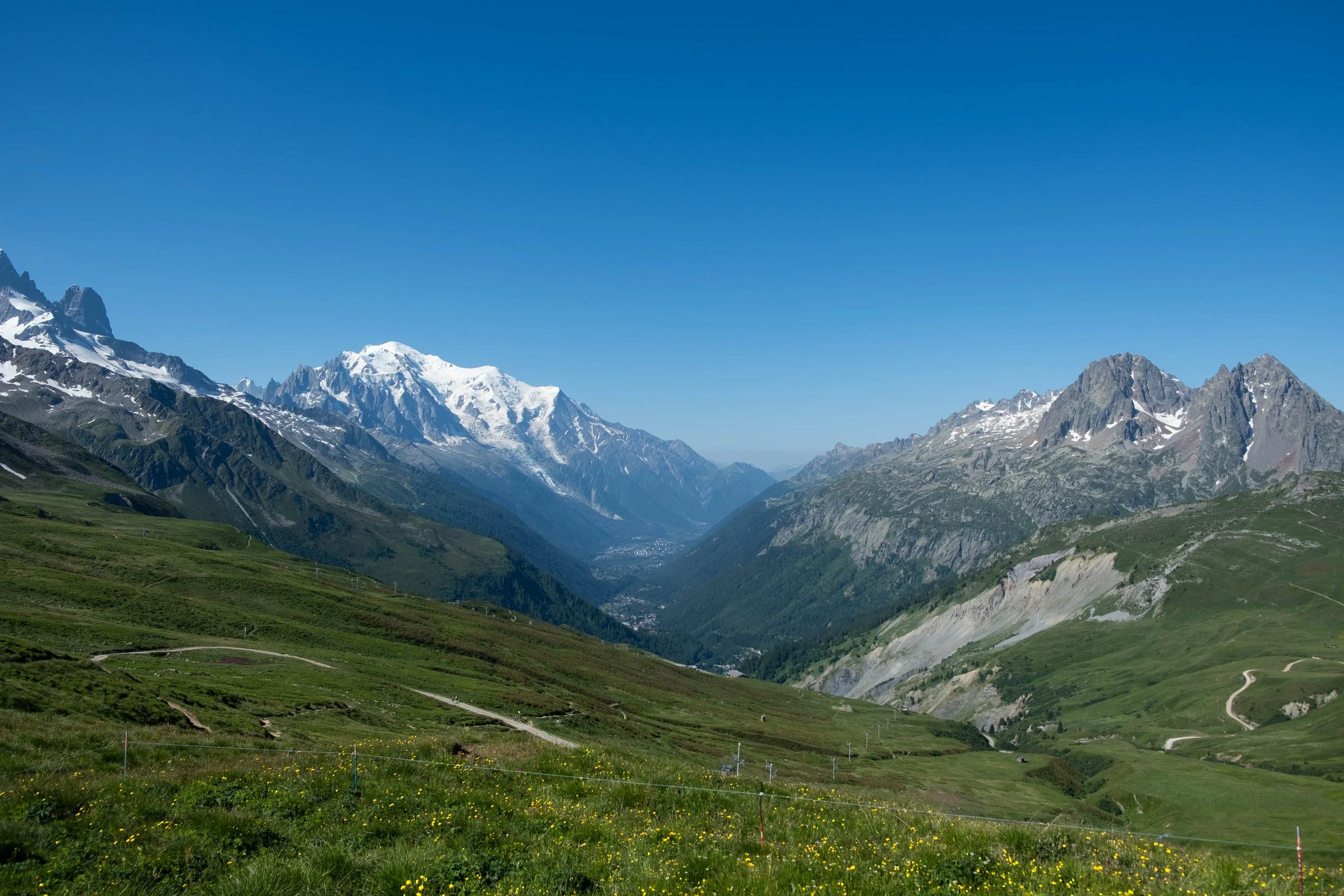
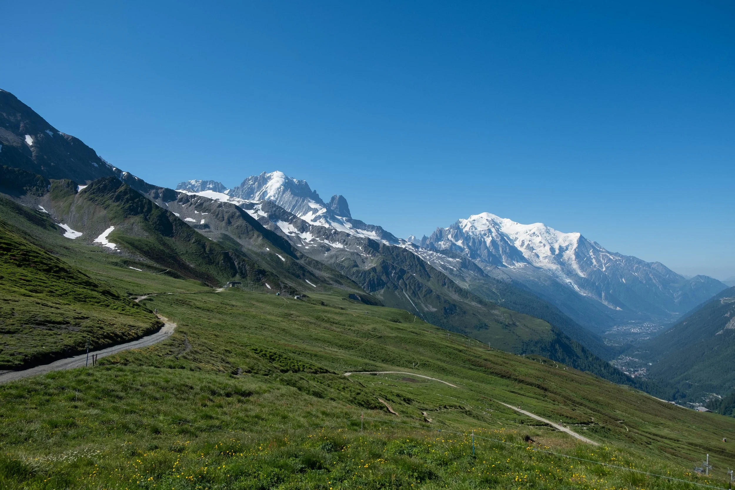
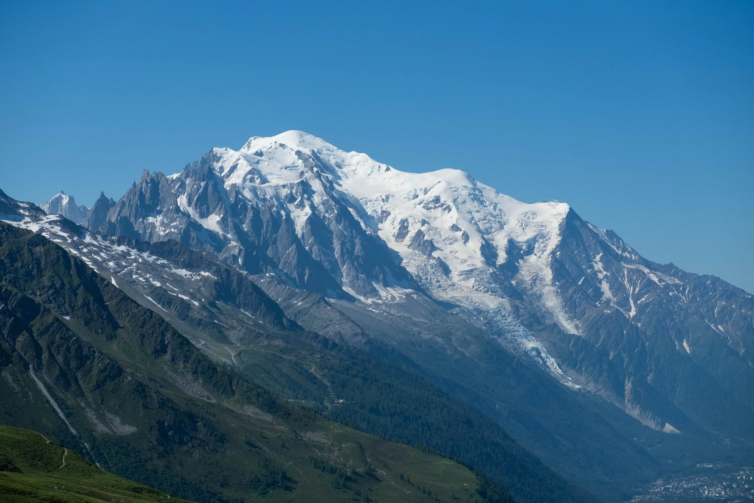
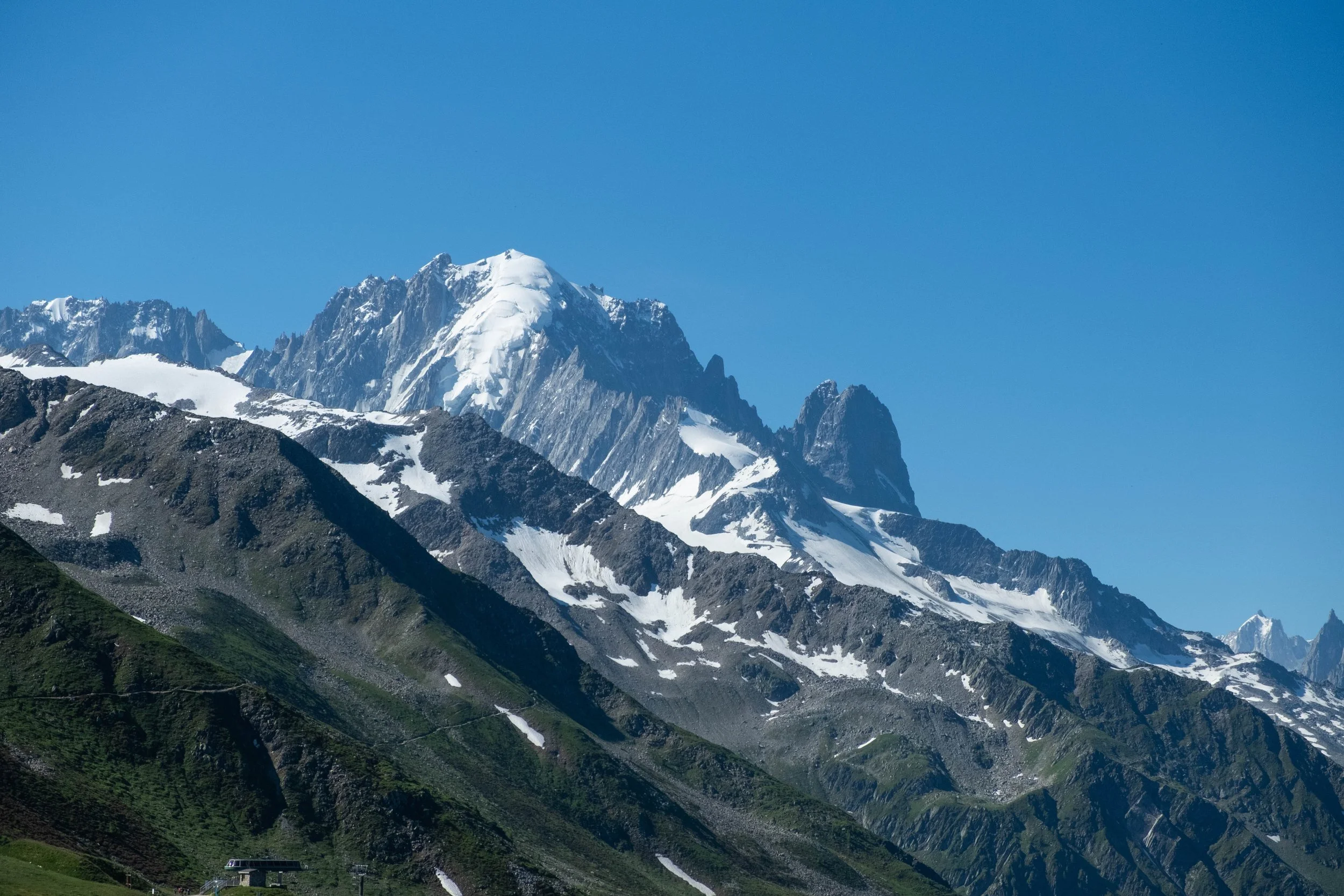
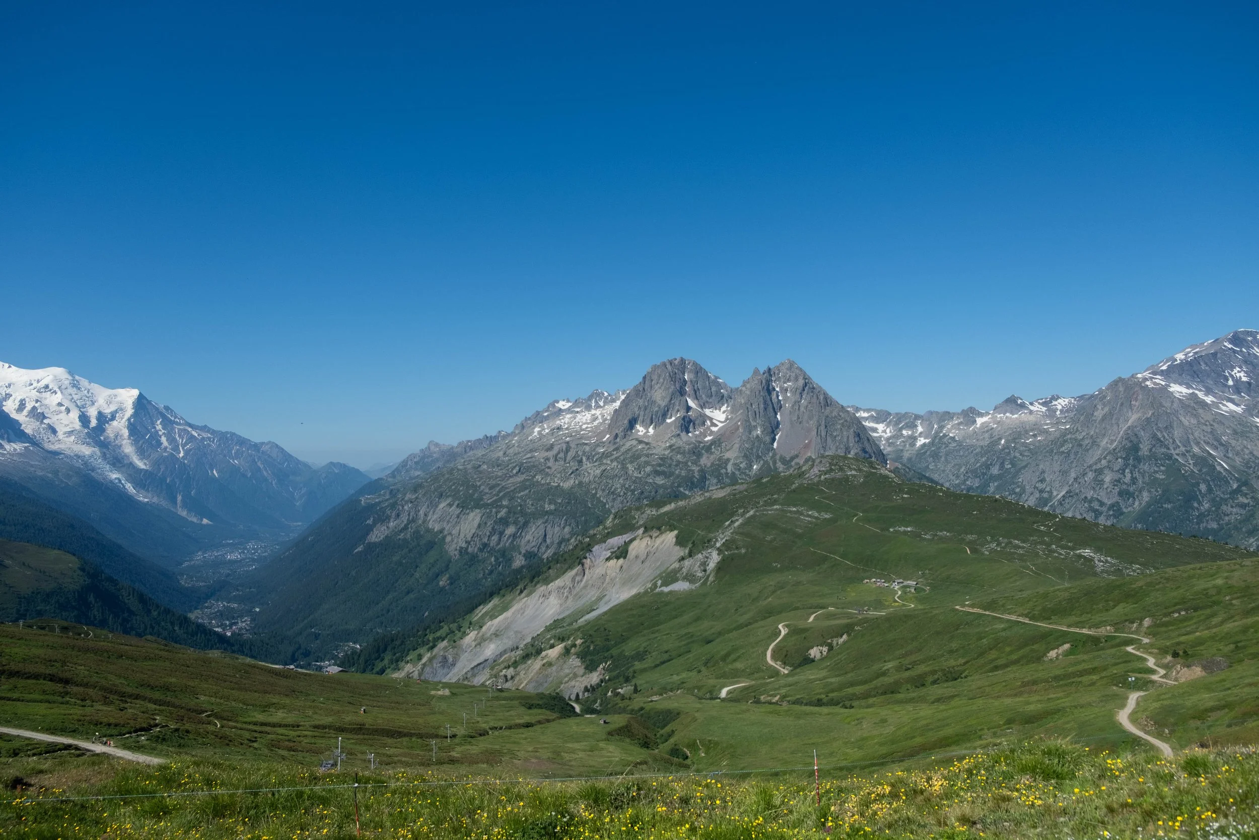
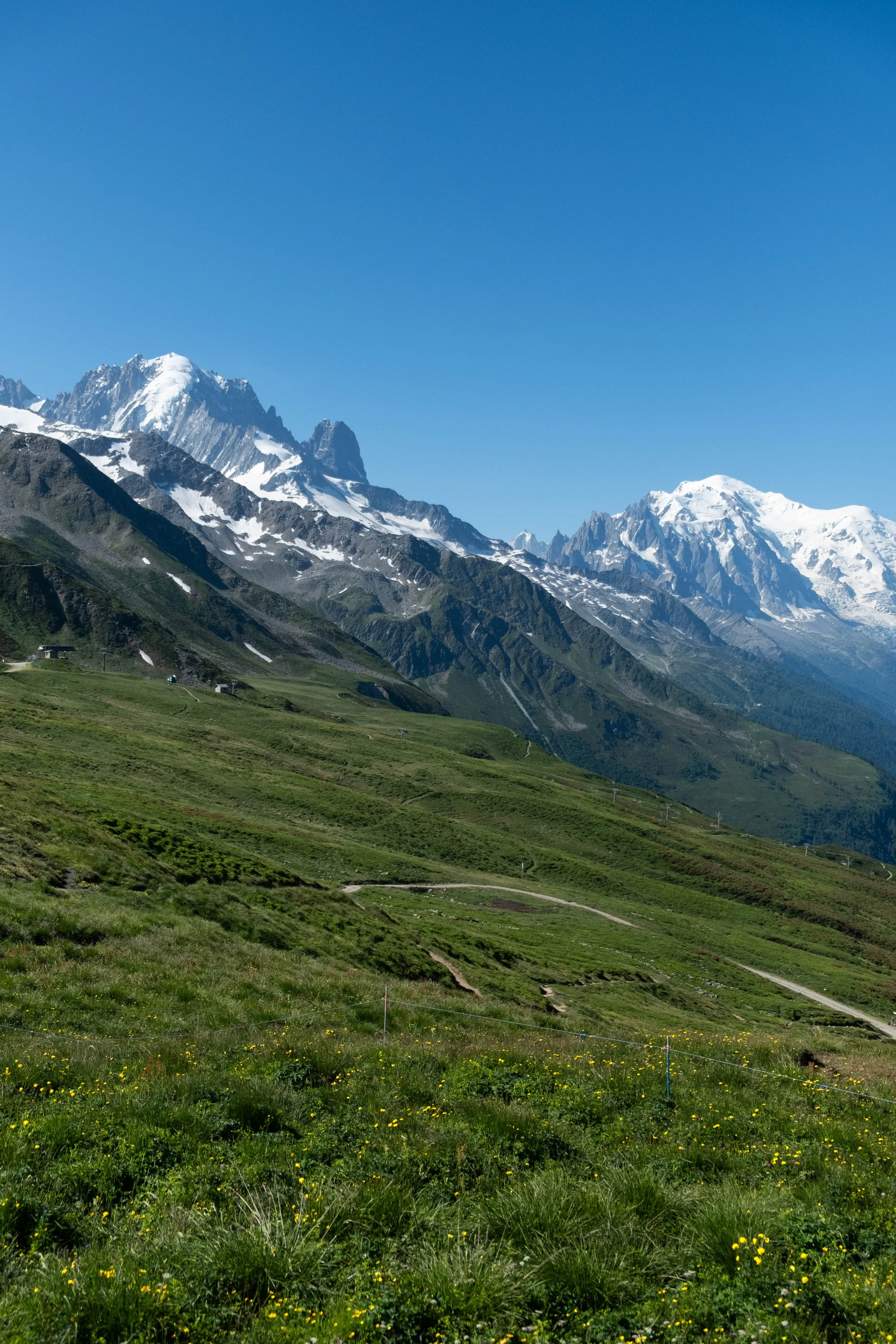
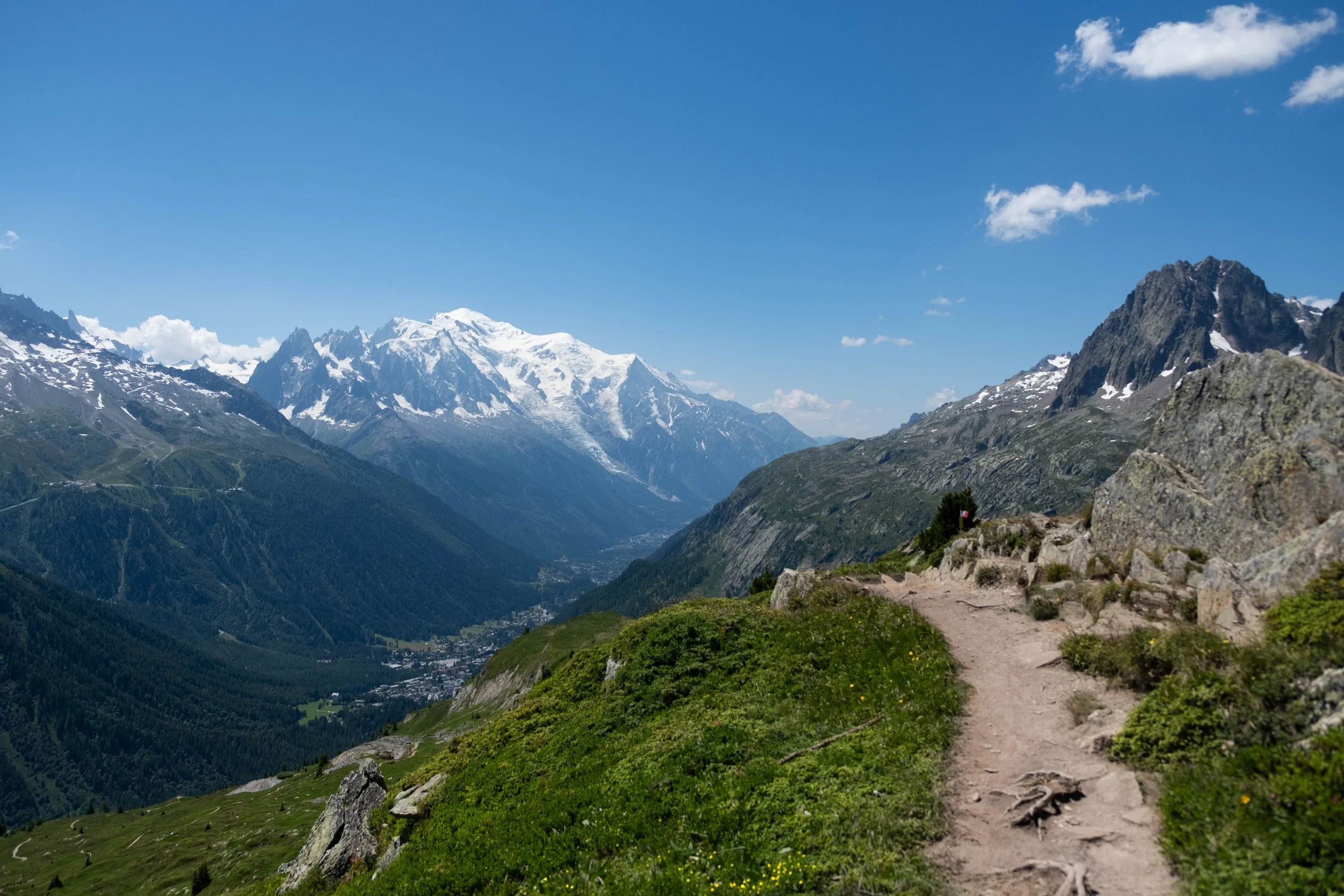
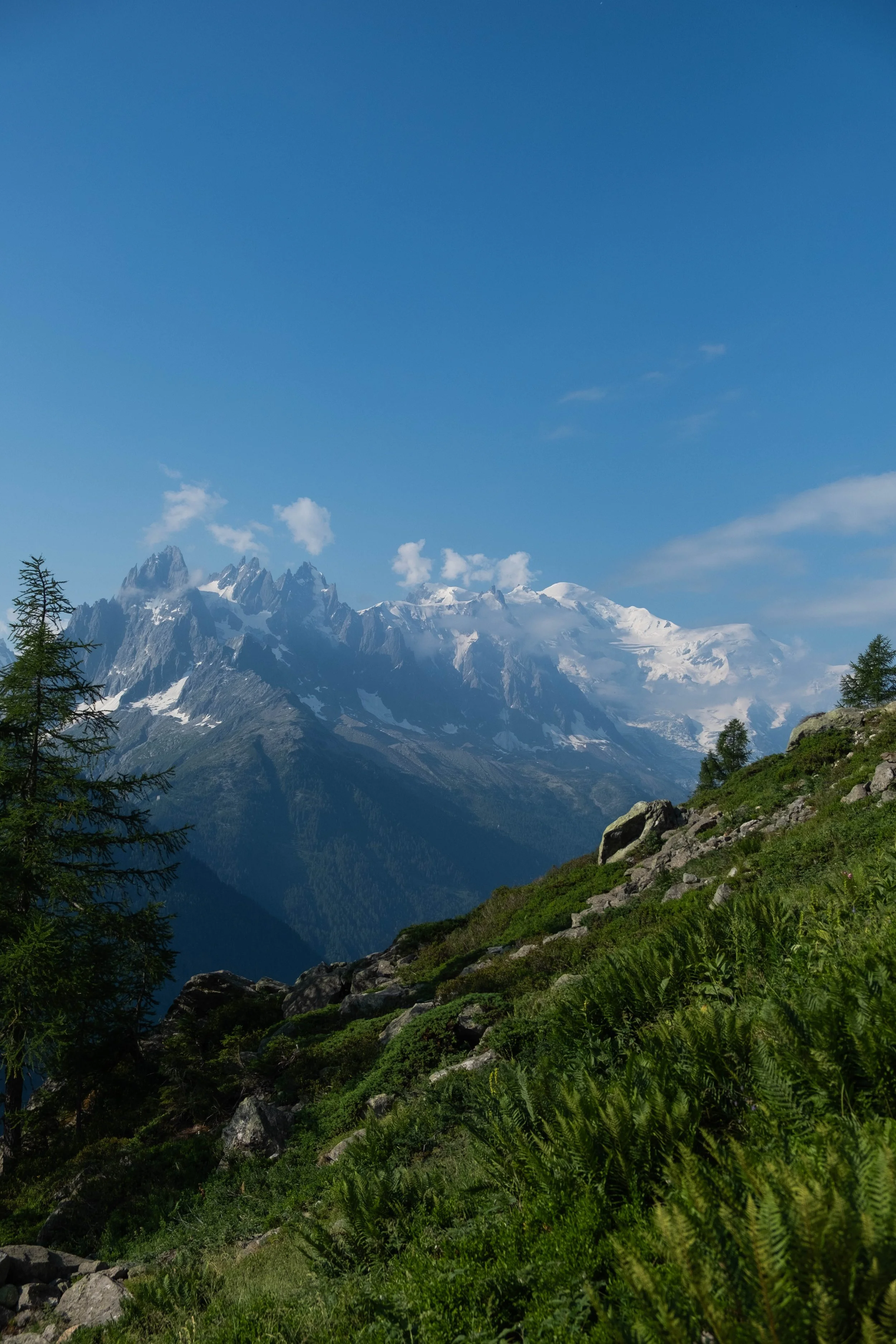
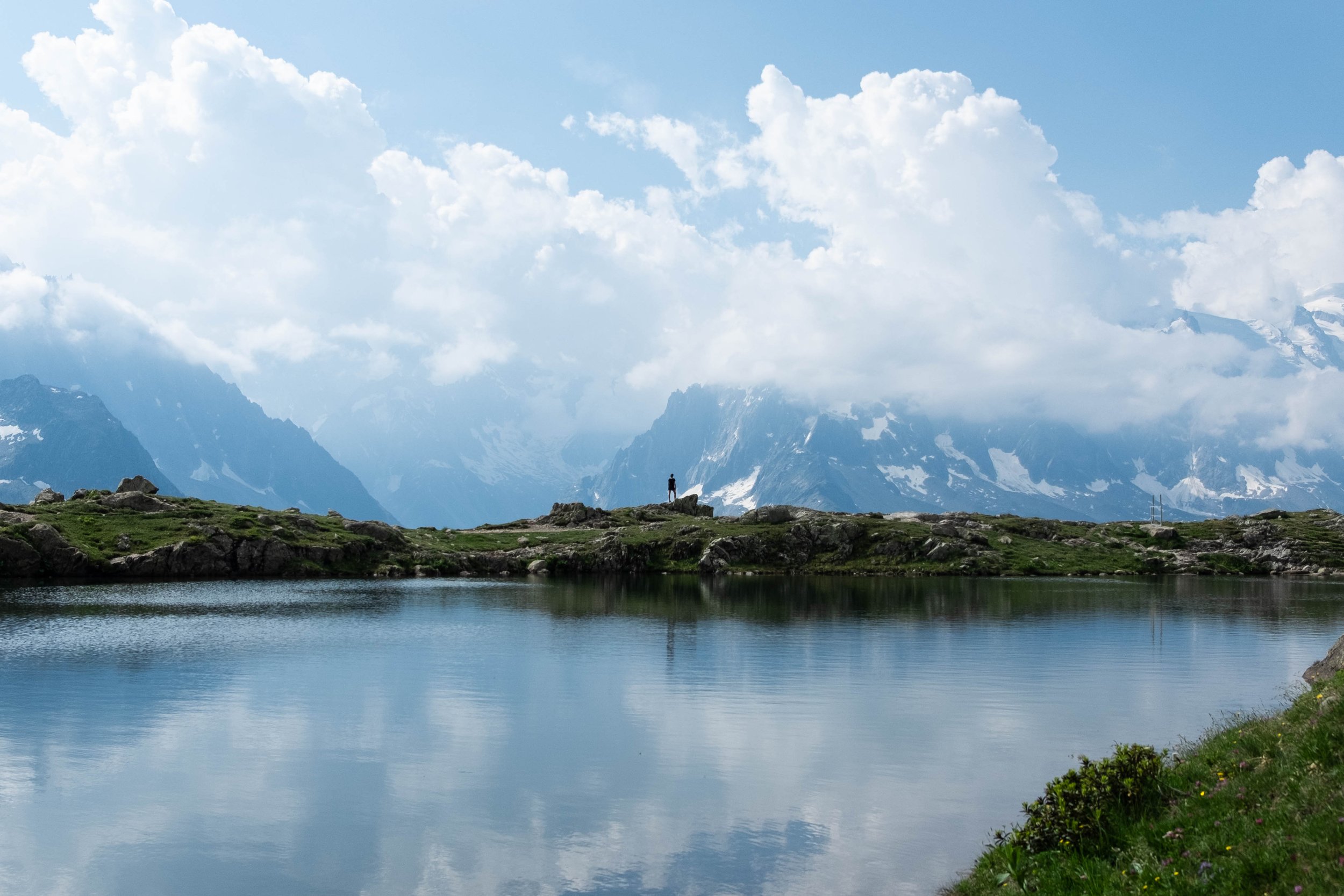
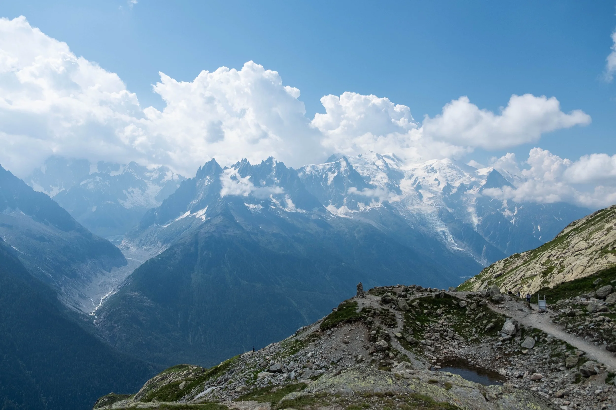
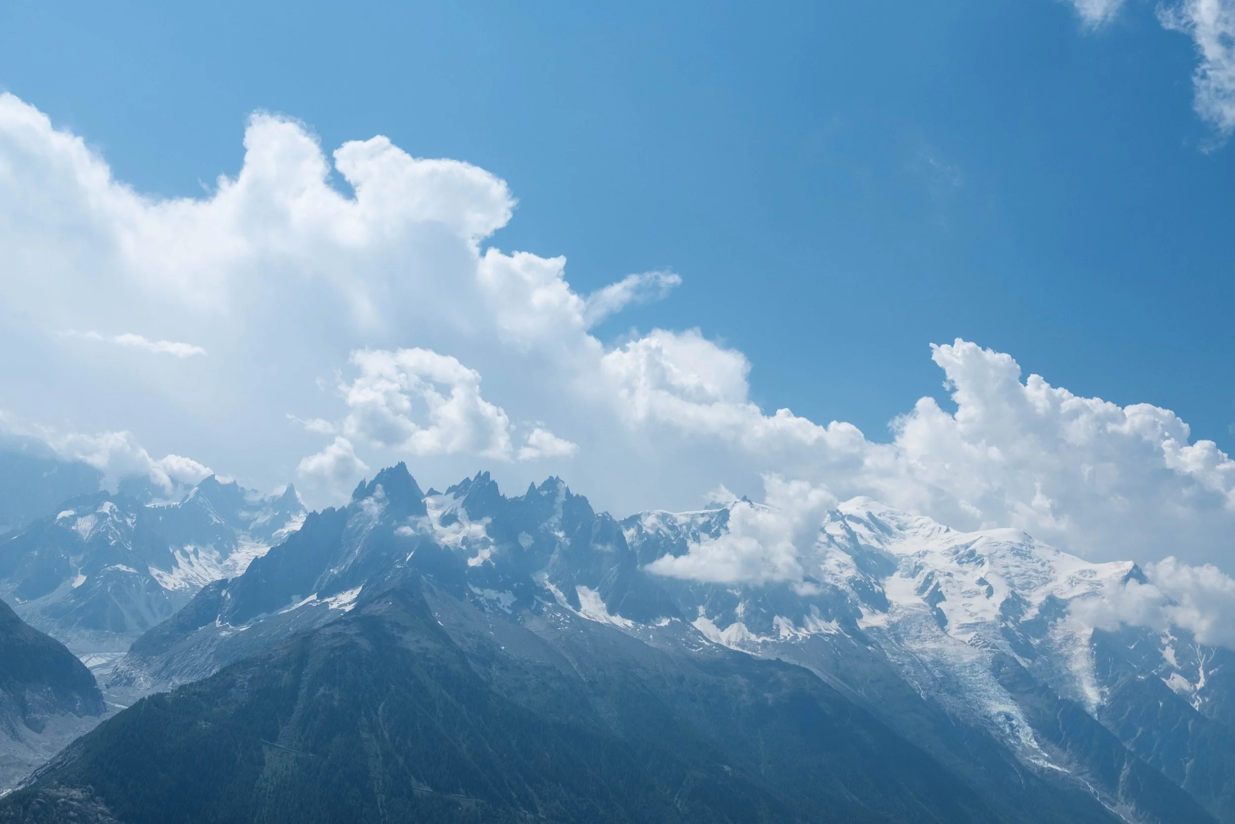
Once we reached the summit, the view of Mont Blanc and the rest of the massif came roaring back into view. It was a perfectly clear, cloudless morning and the views were arguably the best we’d had on the entire tour. The Chamonix valley gleamed below us, alpenrose glowing bright pink on the slopes, snow glistening on the peaks to our left. It was too achingly beautiful to adequately describe.
After a cappuccino with friends, we set off on the Aiguille des Posettes high route over the valley. We shared part of the path with the Mont Blanc marathoners and were delighted to cheer them on as they tackled an incredibly tough course.
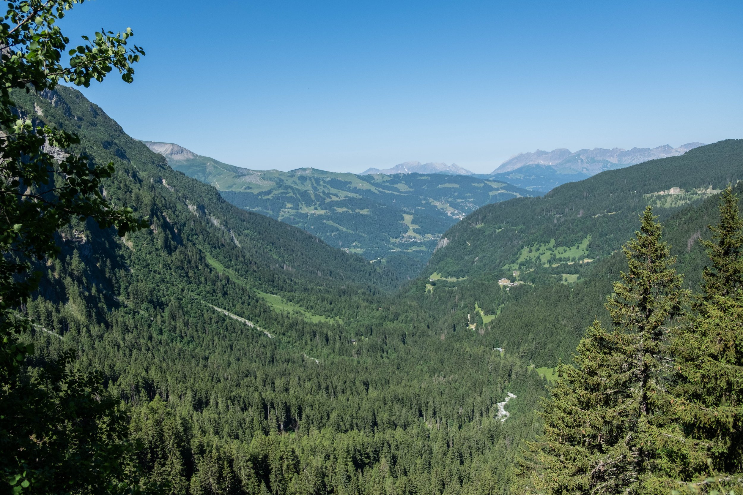
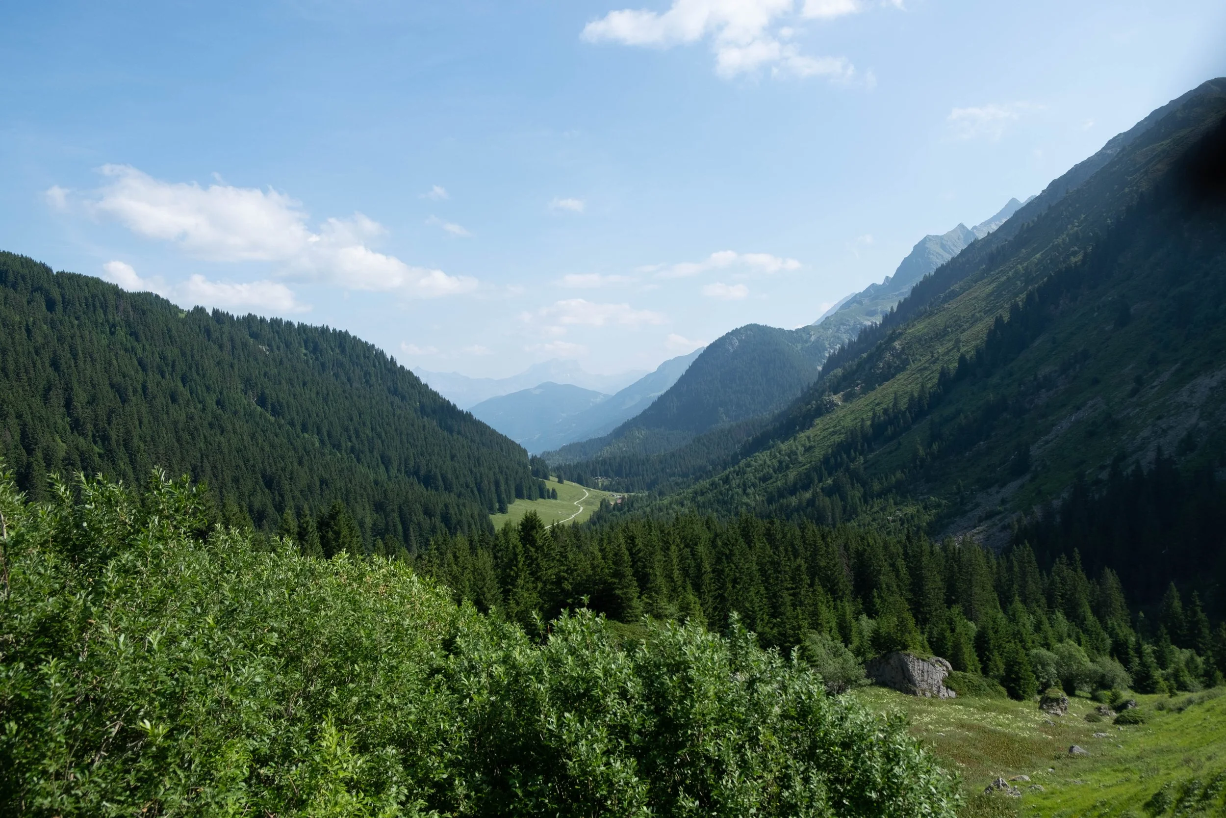
We spent the rest of the afternoon soaking up the sun and the views. It felt impossible to ignore that we were approaching the conclusion of a wonderful adventure. We could see Chamonix in the distance, close enough that it seemed we could almost be done that same day. Nevertheless, we descended into Argentière as planned, secretly grateful for one more night before our final day of hiking.

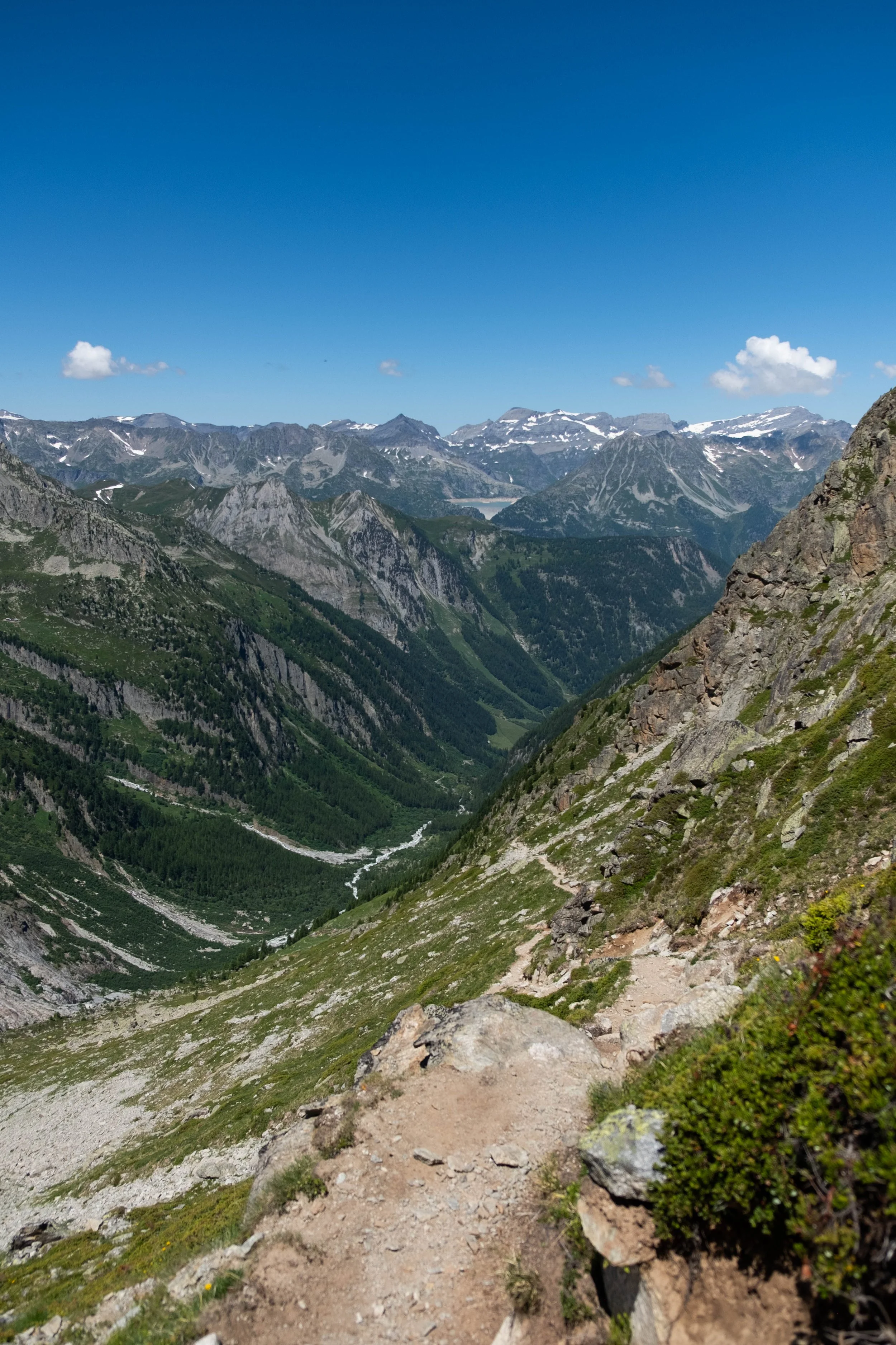
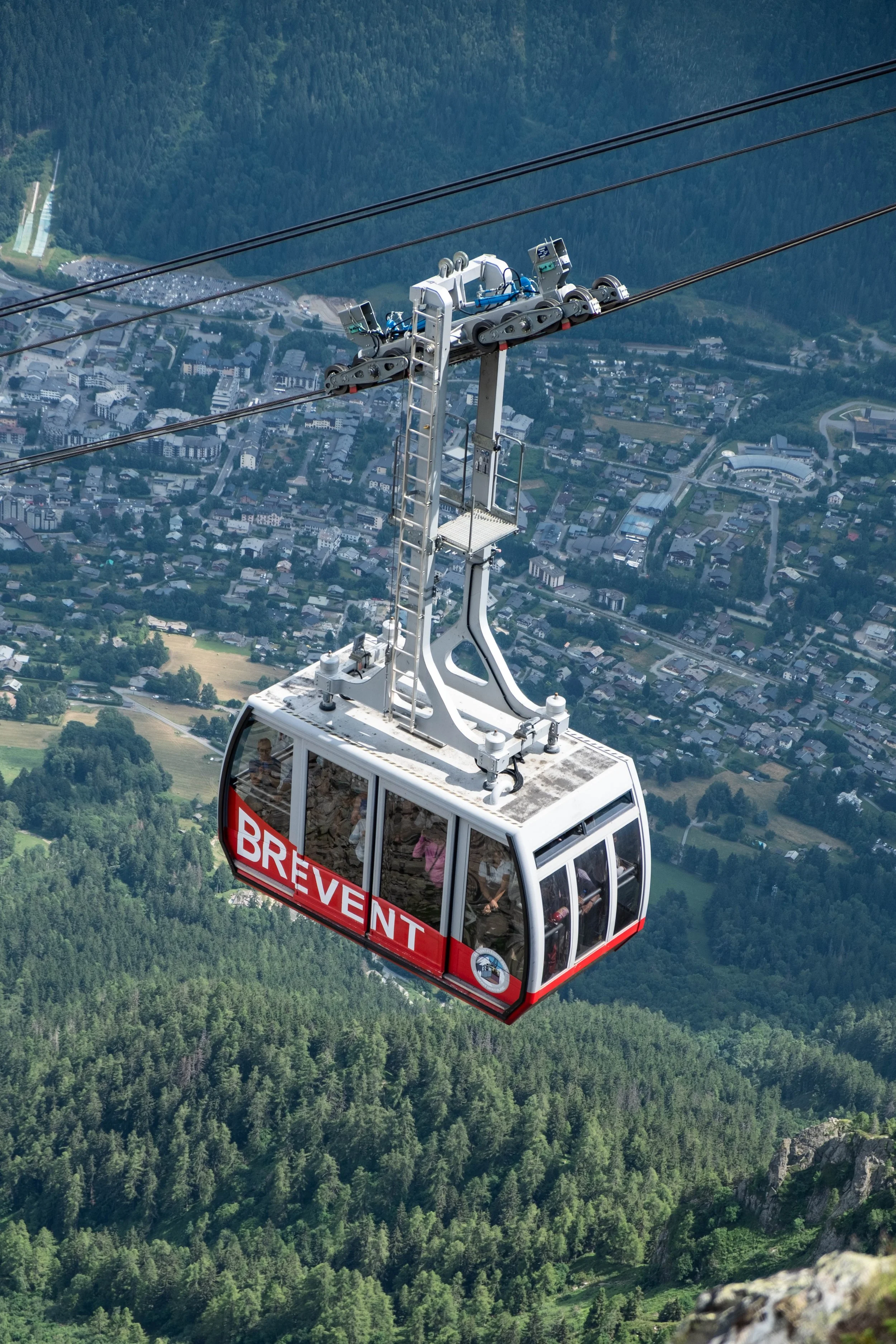
Day 9: Argentière to Chamonix via Le Brévent | Hotel de l’Arve, France
Distance: 11.5 miles | Ascent/Descent: +6,306ft/-2,260ft
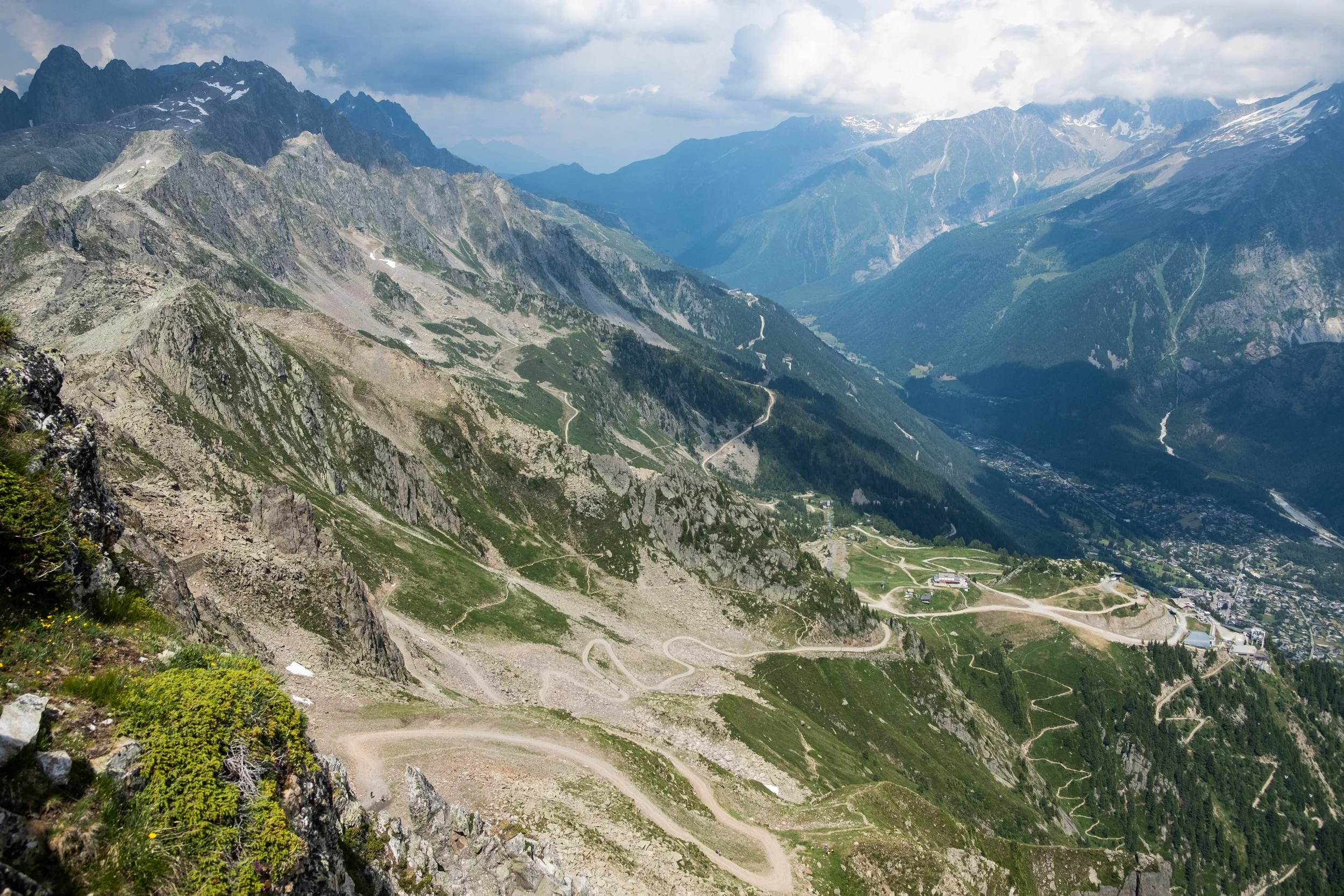
Last day and a big one! The forecast predicted afternoon rain and we had a firm deadline of reaching Le Brévent no later than 4:30pm so we didn’t miss the final ski lift to Chamonix.
It was a sweaty trudge out of the humid valley up into cooler conditions near Lac Blanc, and we felt tired today. We climbed the famous ladders, which turned out to be less scary and more fun than expected. By the time we reached the top, clouds had rolled in over Mont Blanc, where they would hover for the rest of the day.
After Refuge Lac Blanc, we set off on the last stretch, which was broken up by three ski lifts that each offered the chance to end the day’s hike. Our goal was to make it to the final ski lift, Le Brévent, which was perched on the edge of an imposing cliff high above Chamonix and looked extremely far away from where we were. I won’t mince words: This stretch was hard. There were no water refill stations. All the grocery stores in Argentière had been closed the day before, so we didn’t have great snacks with us. And it was hot.
We settled into a silent, steady pace for the early afternoon. Le Brévent was in view, as were the cable cars we could see rising and descending, but it didn’t seem to be getting closer, adding to the mental battle.
In the last mile, when we were reaching the end of our caloric, electrolyte, and mental resources, we *finally* saw not one, not two, but three ibex! They felt like mountain spirits giving us the extra oomph we needed to make it to the end.
And the feeling at the top was electric. We’d completed the Tour du Mont Blanc! We were tired, triumphant, incredulous, and awed by the experience, exchanging high fives and draining cans of cold orange juice and Orangina.
After soaking in the views and the glow of accomplishment, we purchased our tickets to Cham and rode the gondola down. Showers, laundry, gelato, and a massive celebratory dinner awaited us — a final, peaceful evening in Chamonix after an unforgettable experience.


Tanzania
Mt. Kilimanjaro, Safari, Mafia Island & Zanzibar
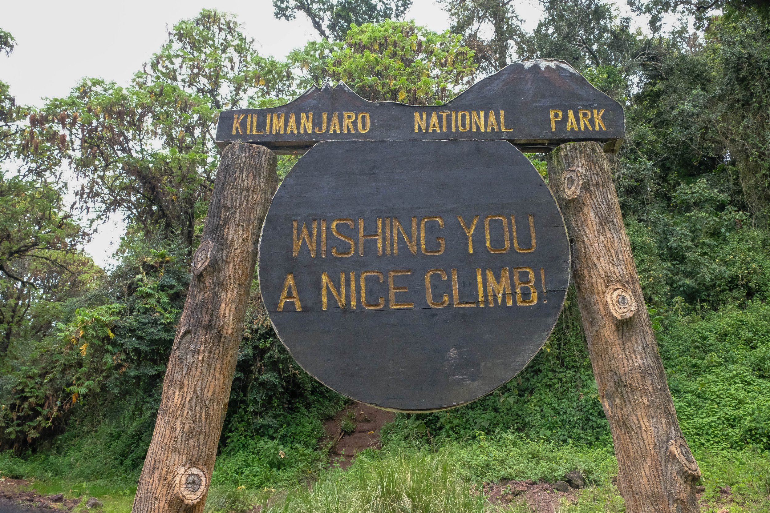
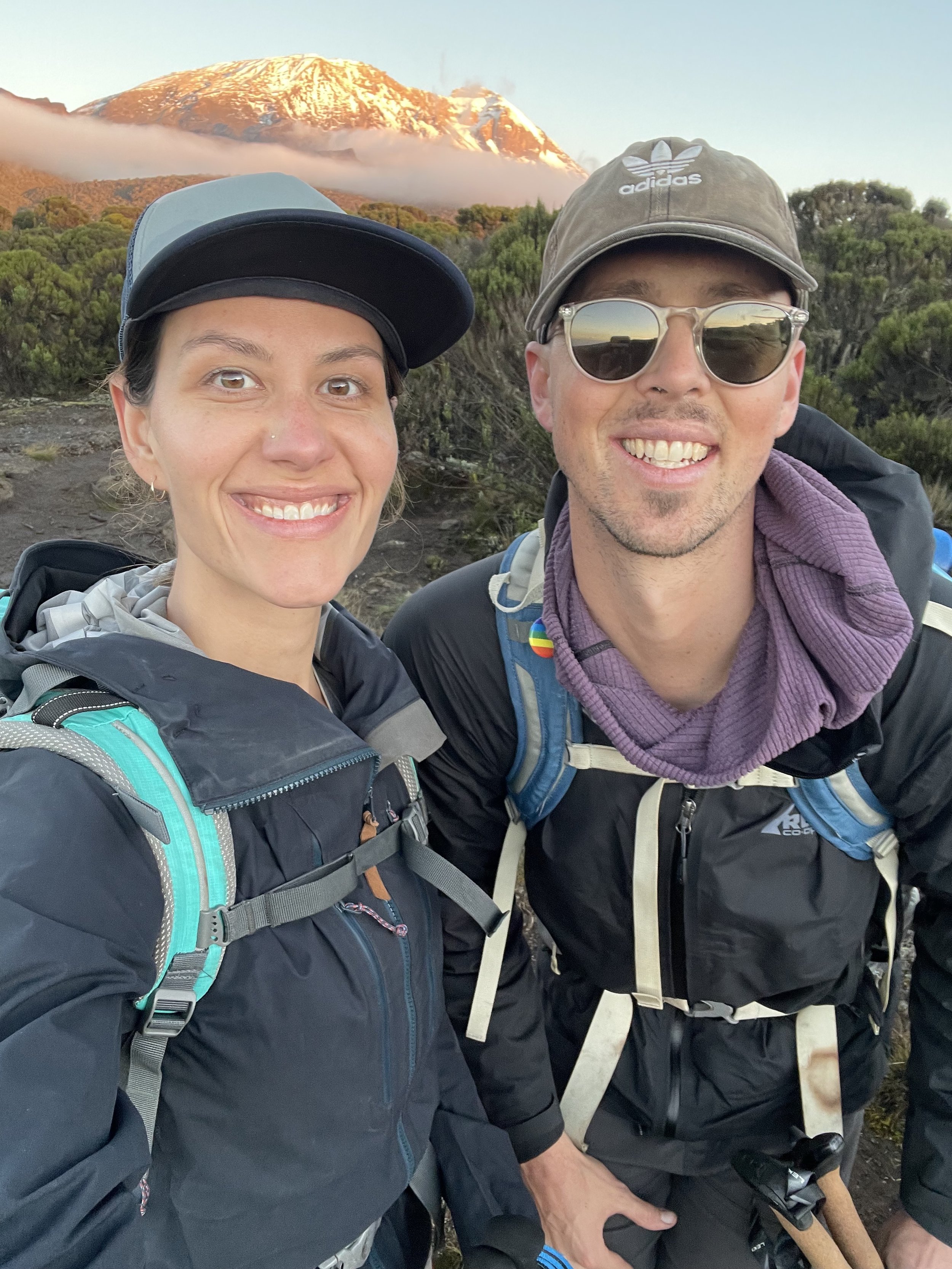
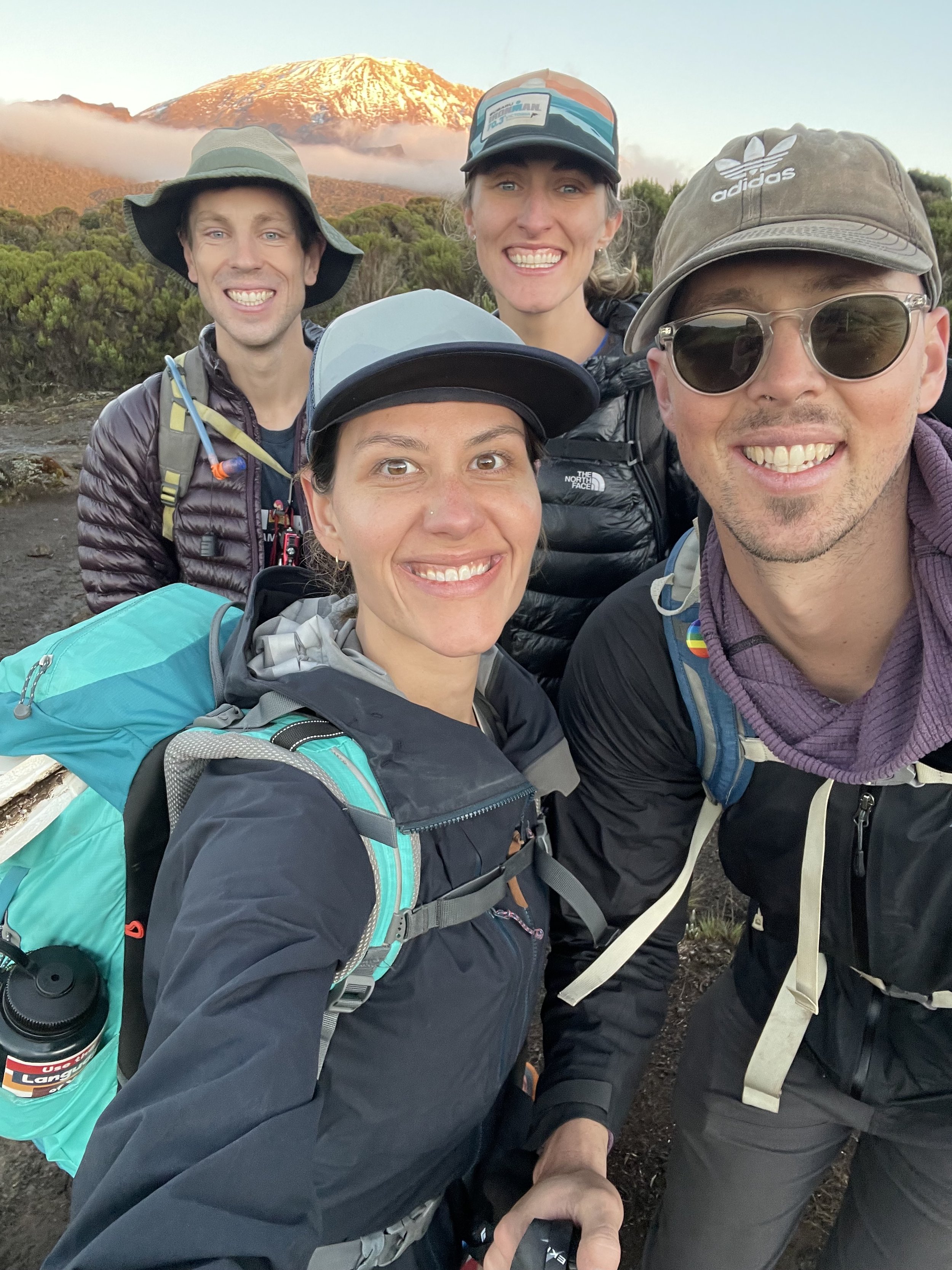
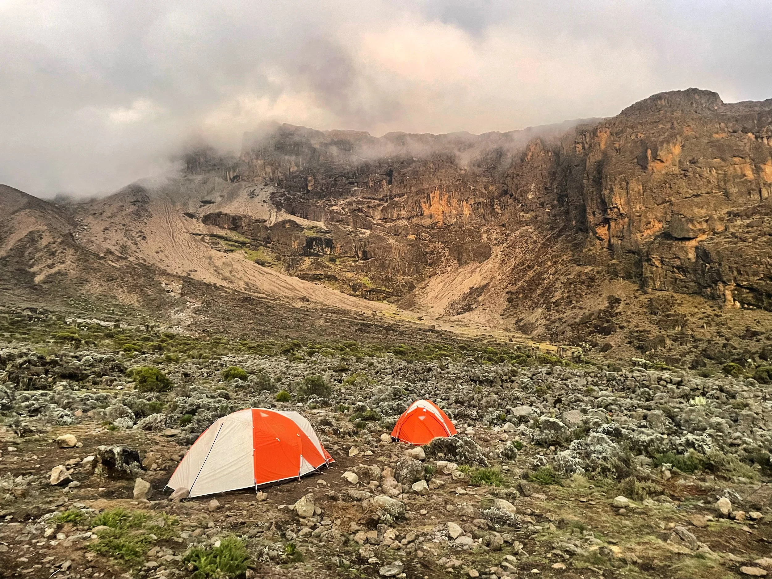
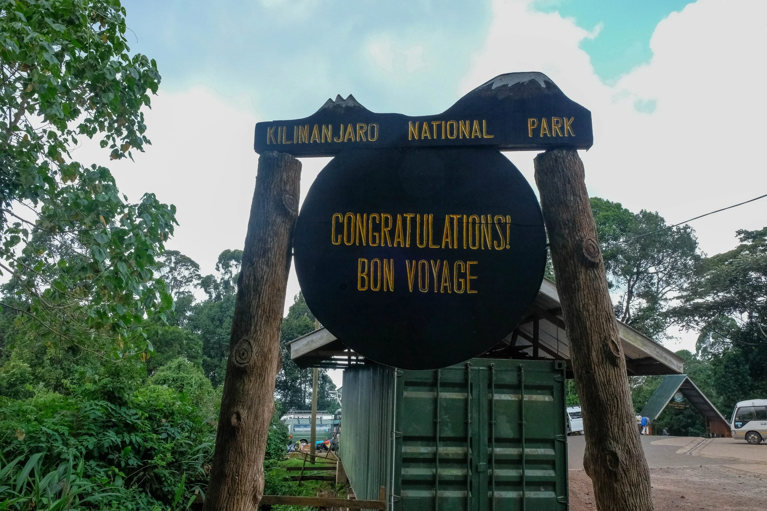
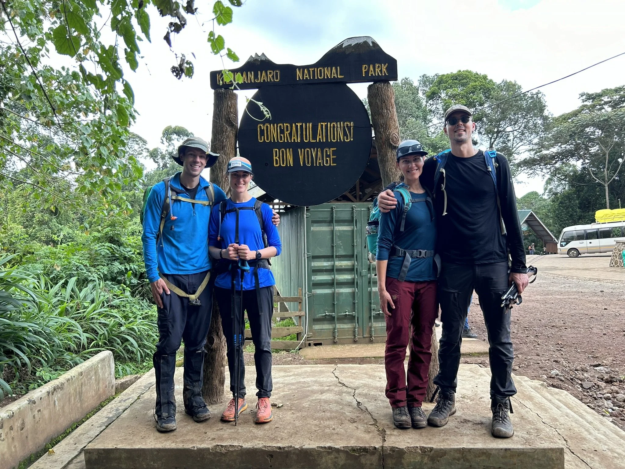
Lemosho Route in Kilimanjaro National Park | December 2023
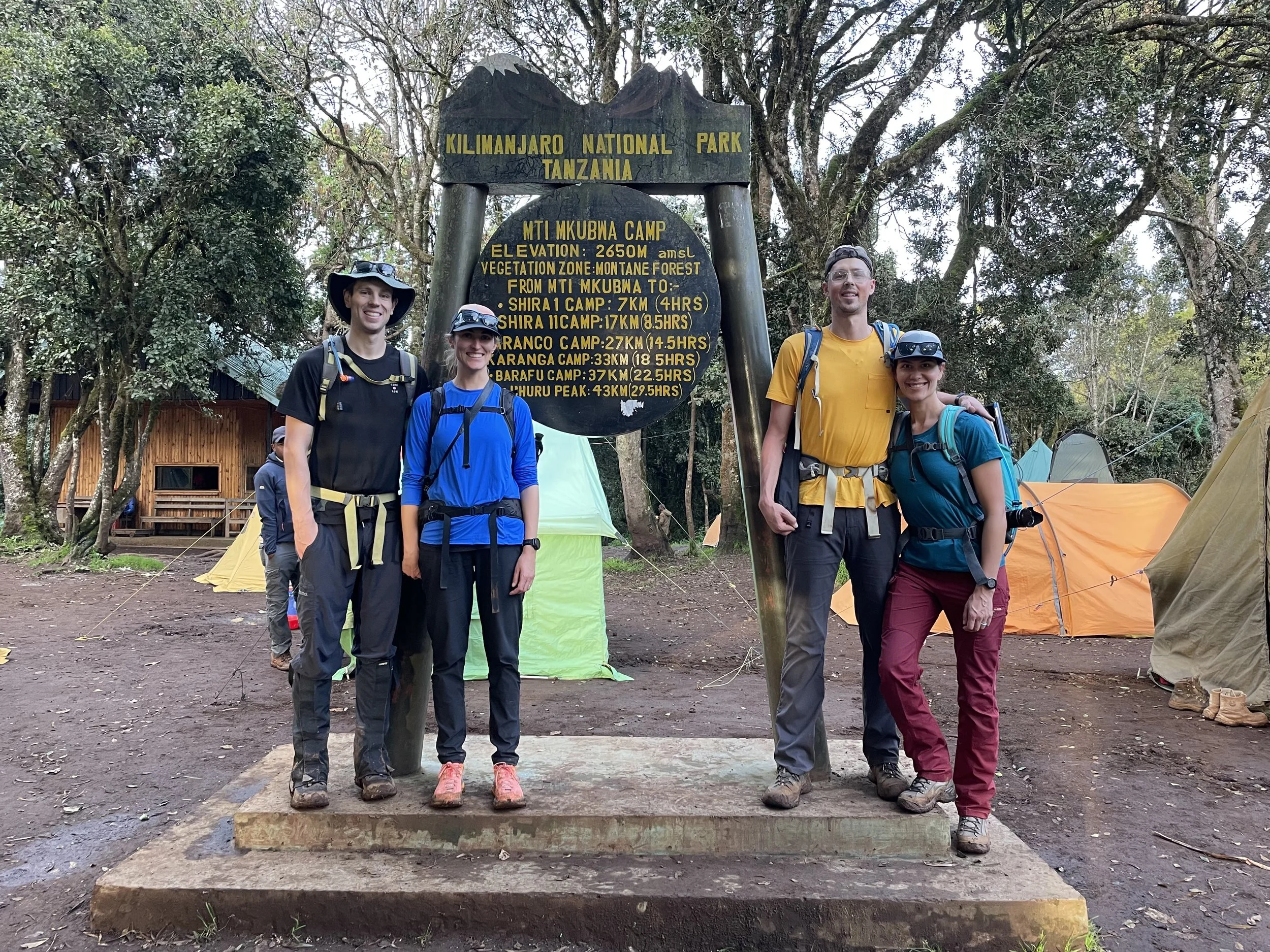
Day 1: Lemosho Gate to Forest Camp | 3.7 miles | 7,500 ft - 8,695 ft
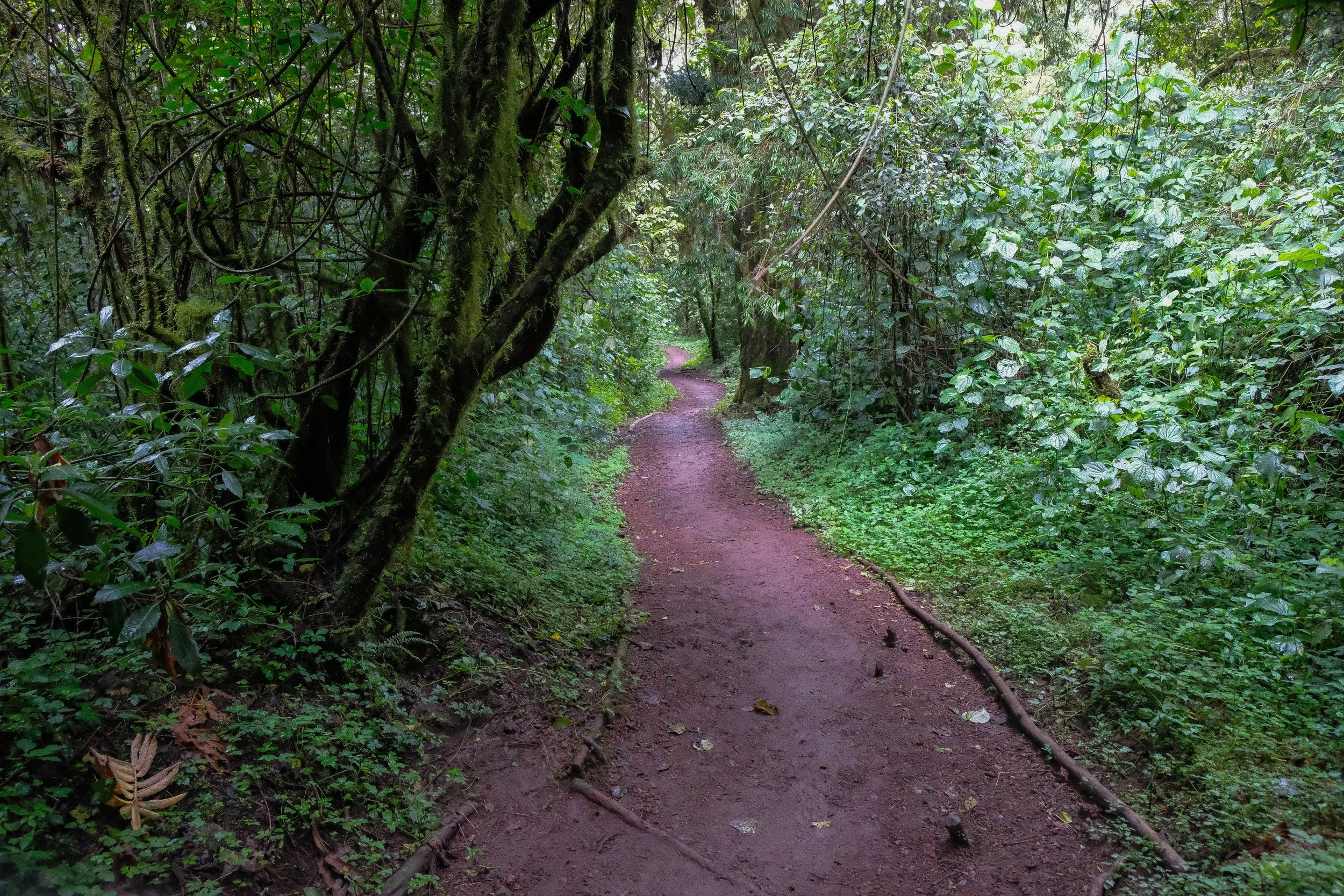
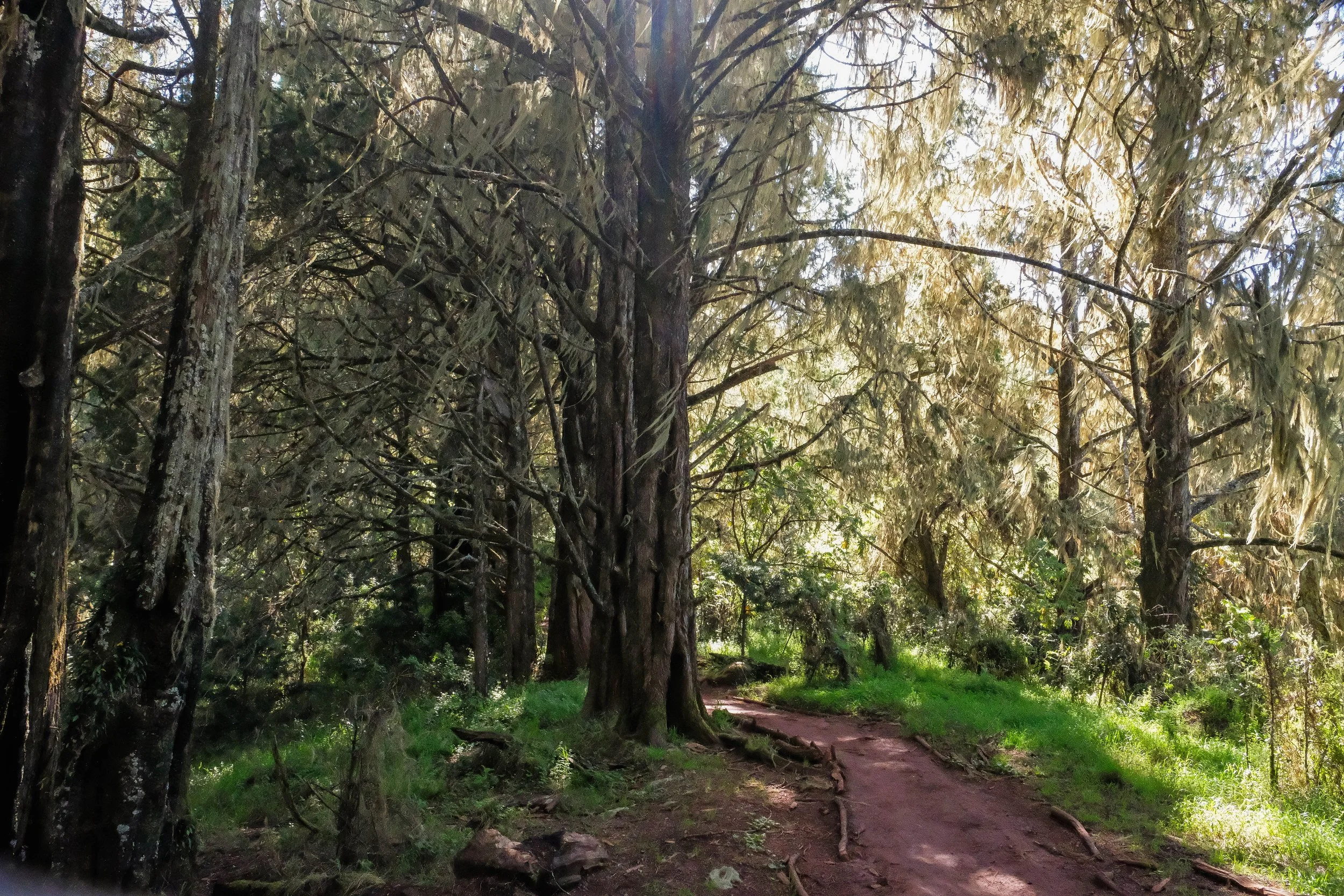
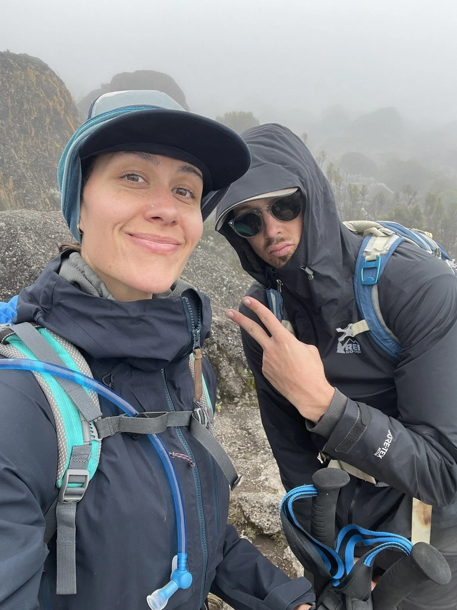
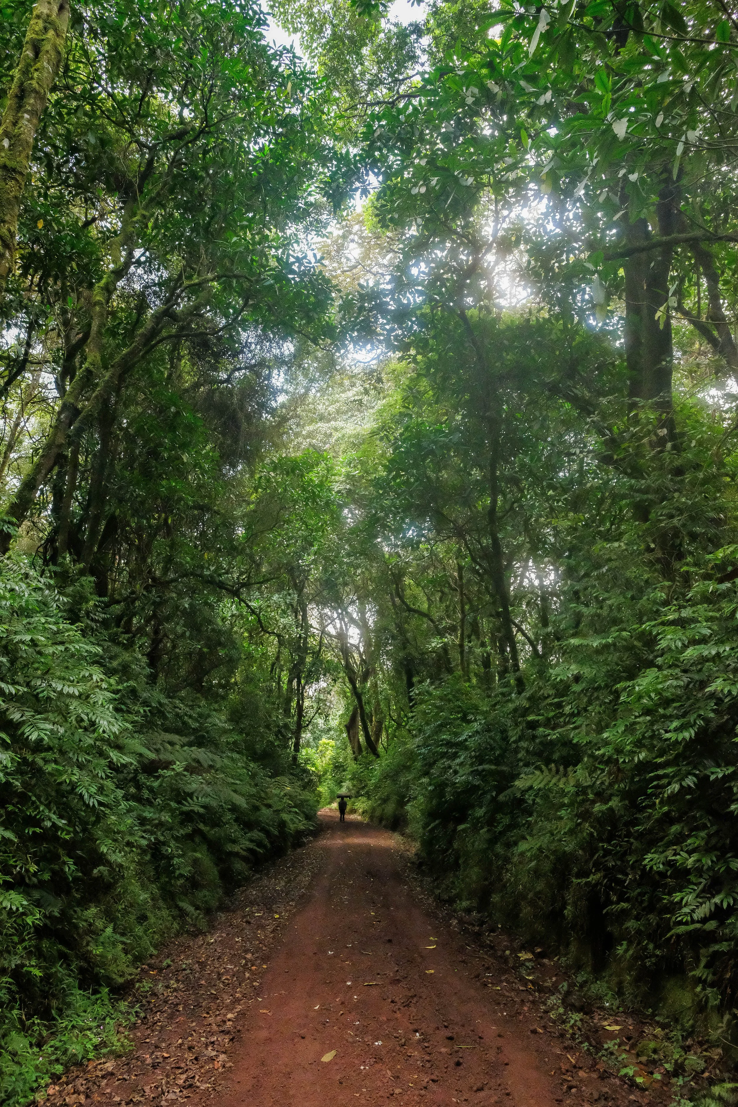
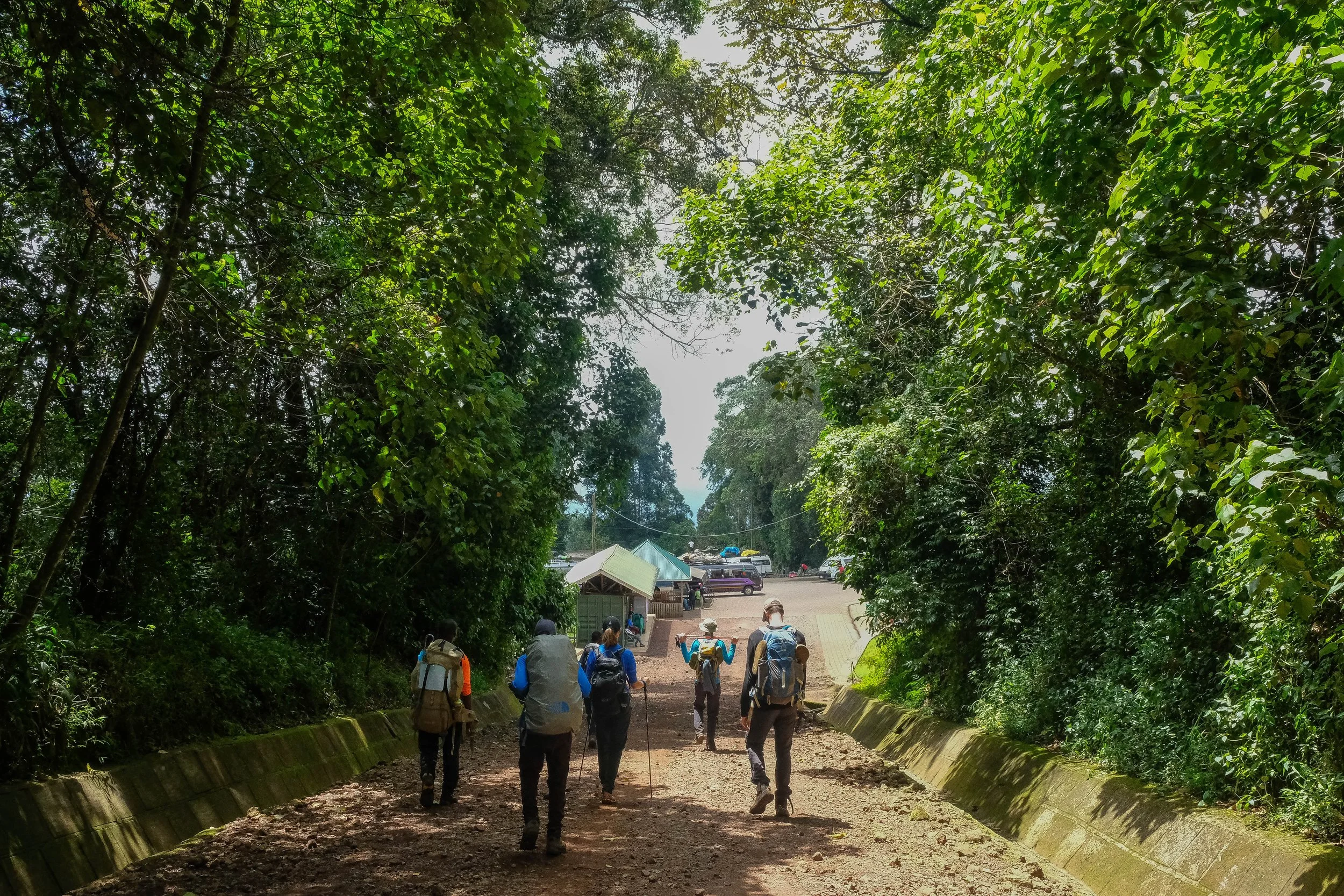
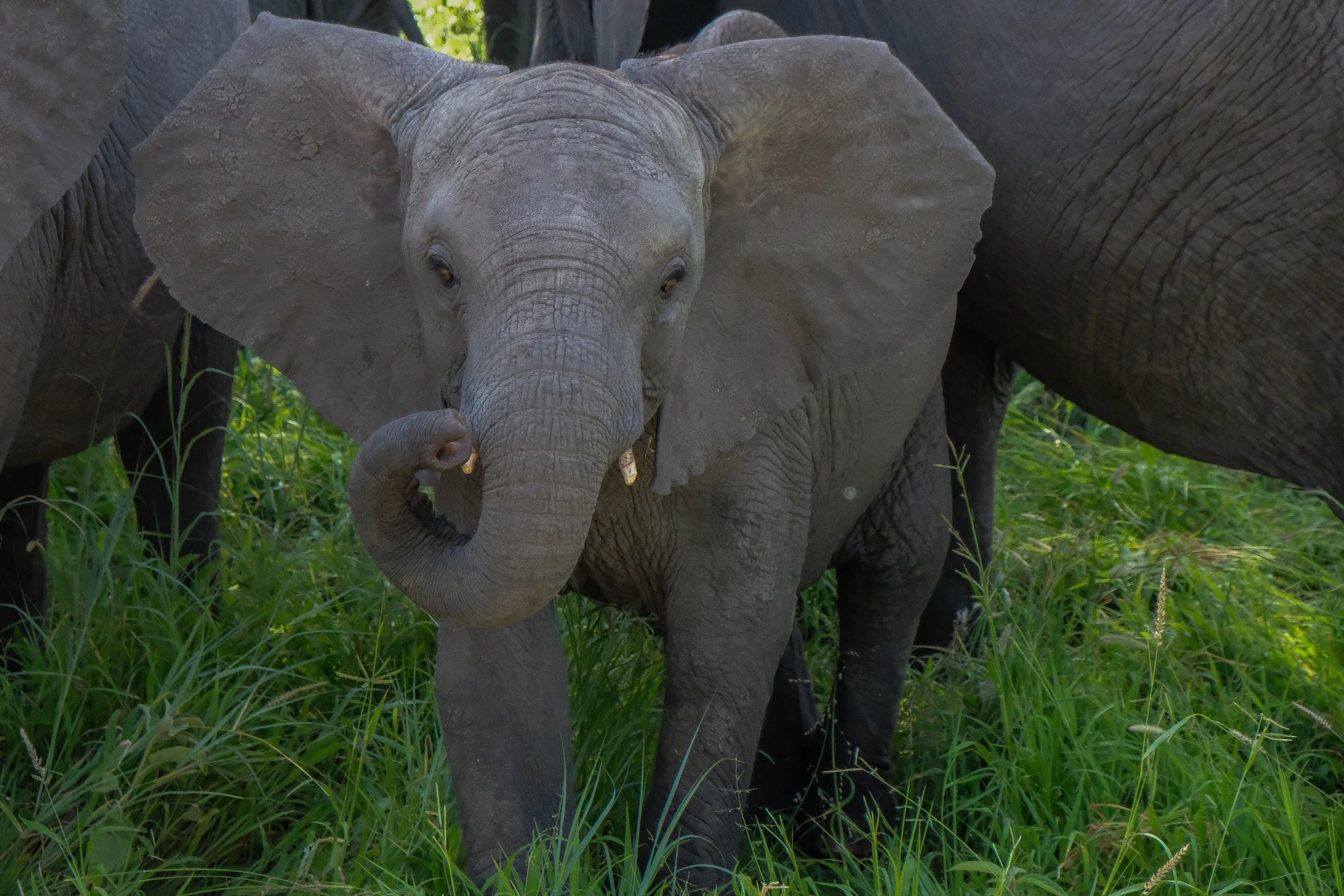
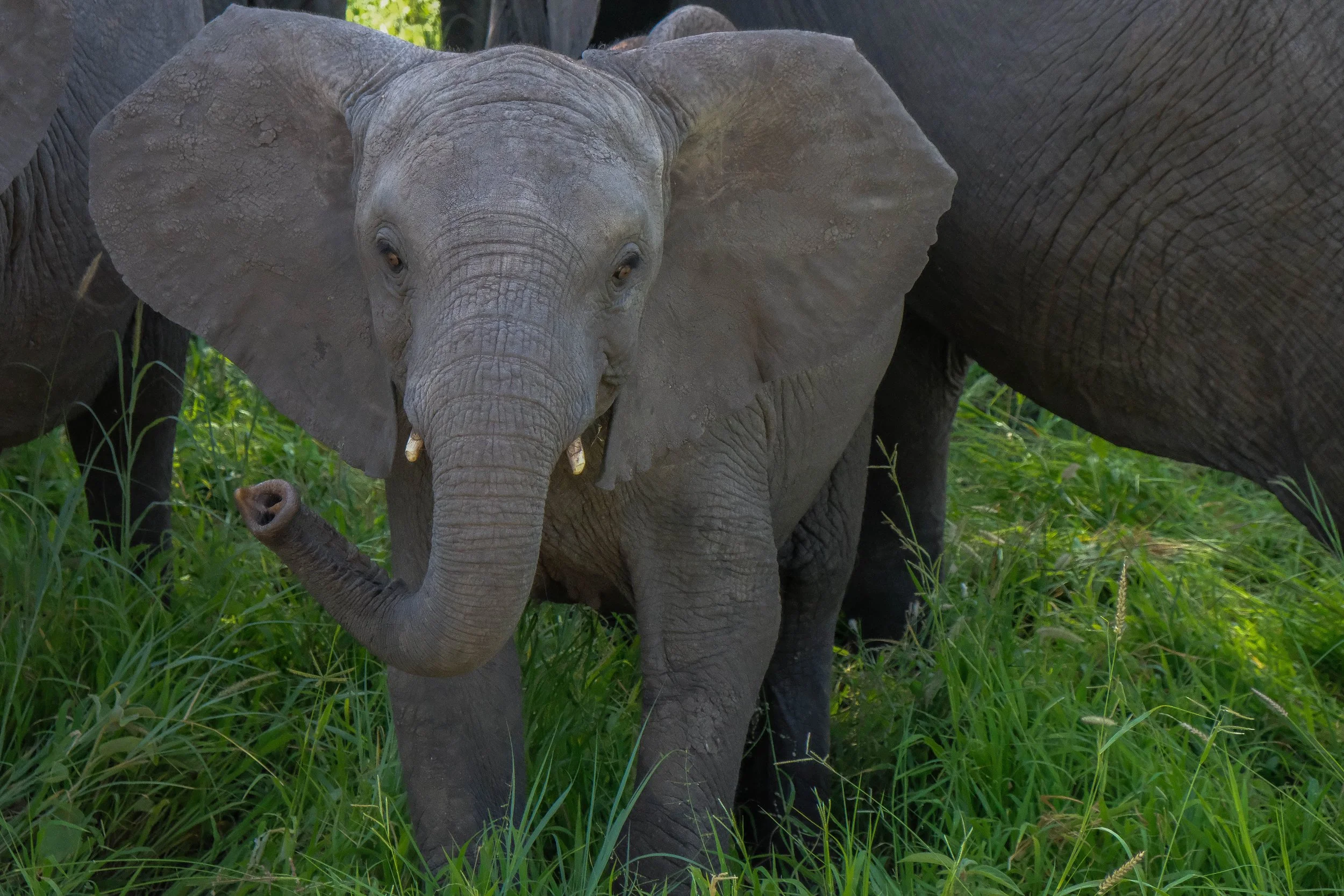
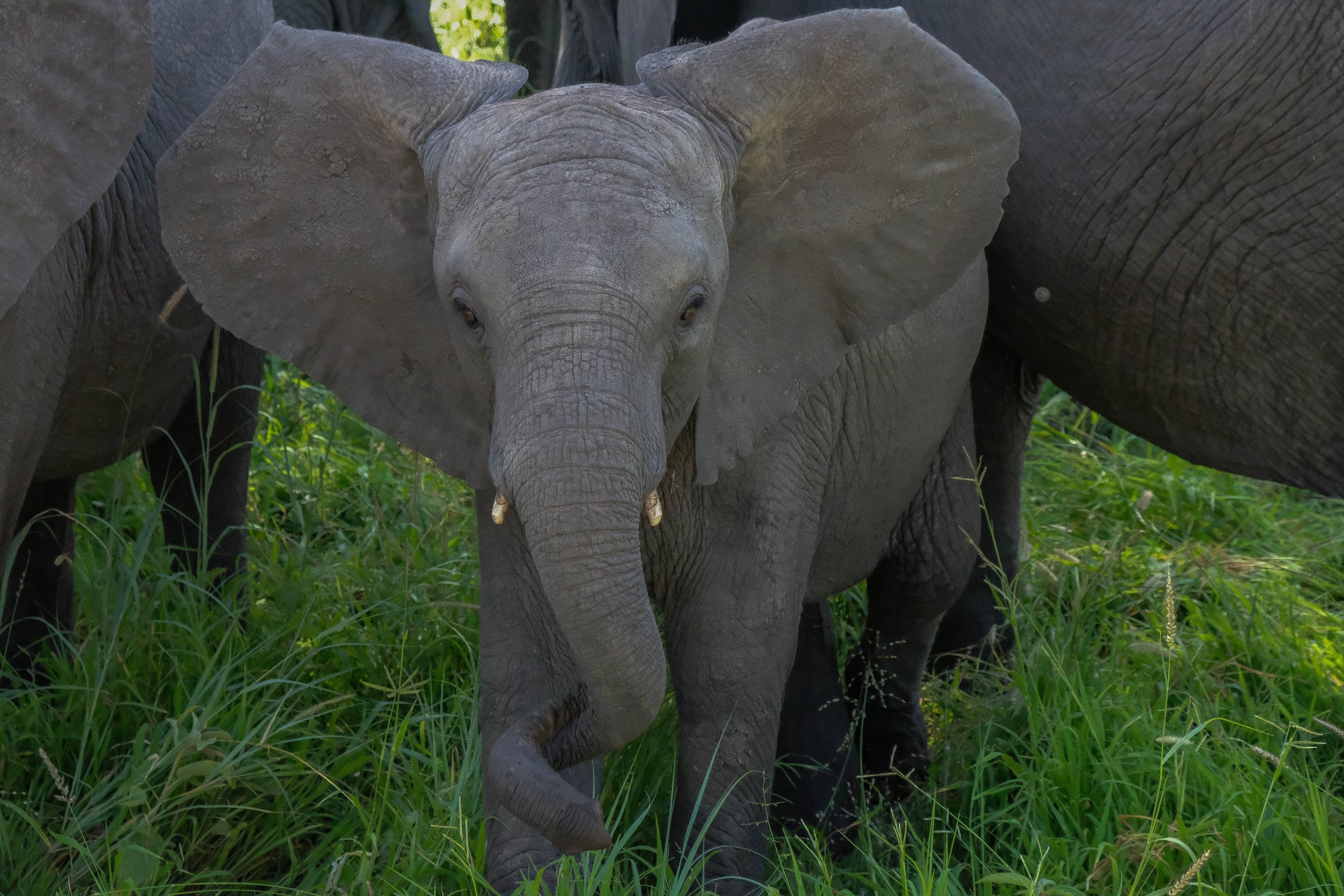
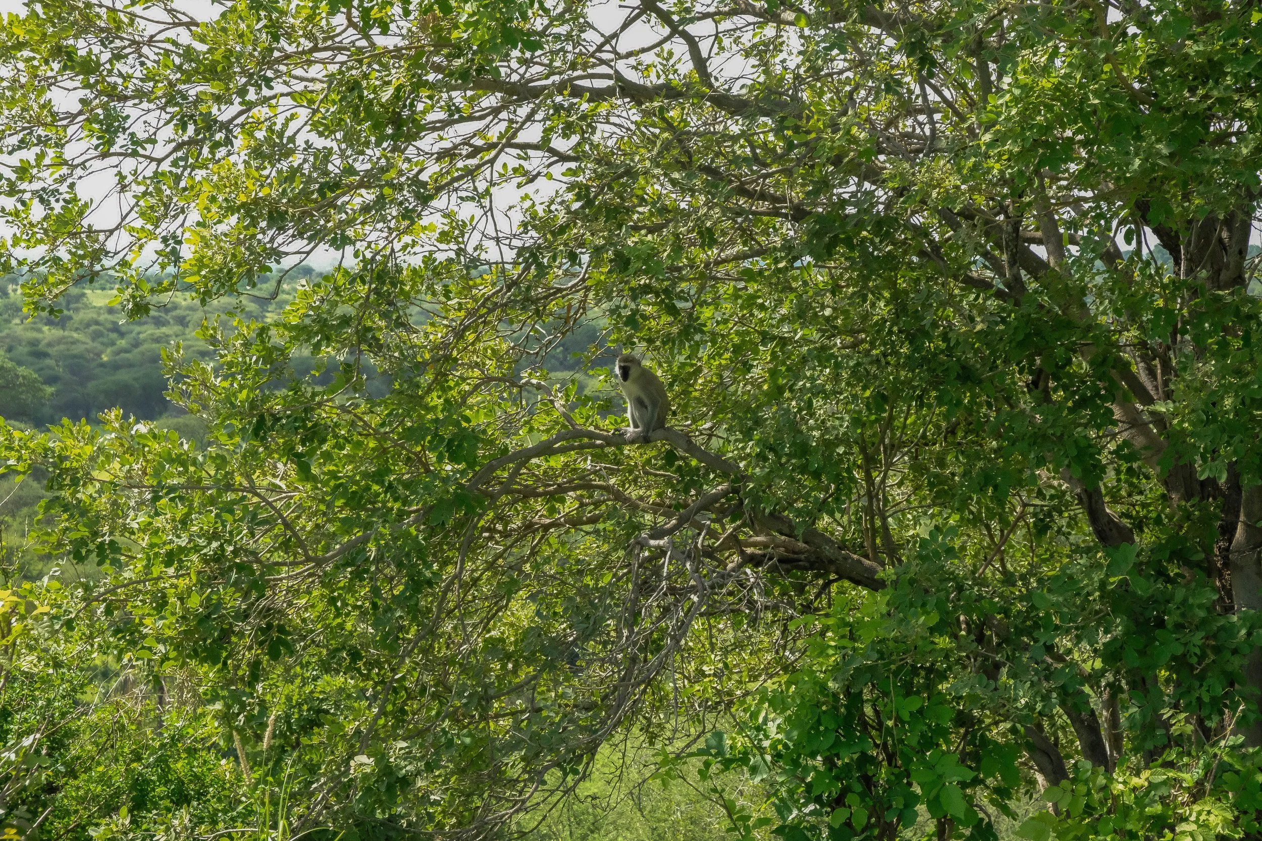
December 20 dawned with our dear friends safely arrived in Tanzania, our bags packed and ready, and a big bus pulled up in front of the hotel to carry us and the rest of our team to the Lemosho Trailhead. The landscape slowly morphed from city to village to rolling agricultural hills. Potatoes and carrots grew out of the rich soil in large fields and I spotted our first black and white colobus monkey (which we henceforth referred to as “skunk monkeys” due to their fur which resembled skunks) in the trees.
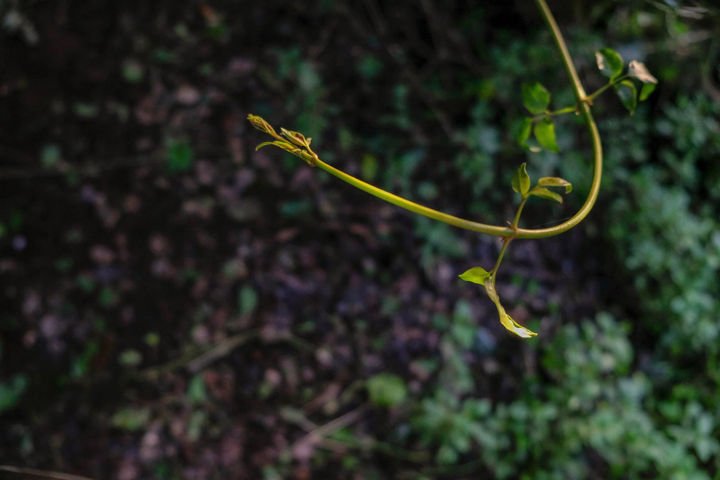
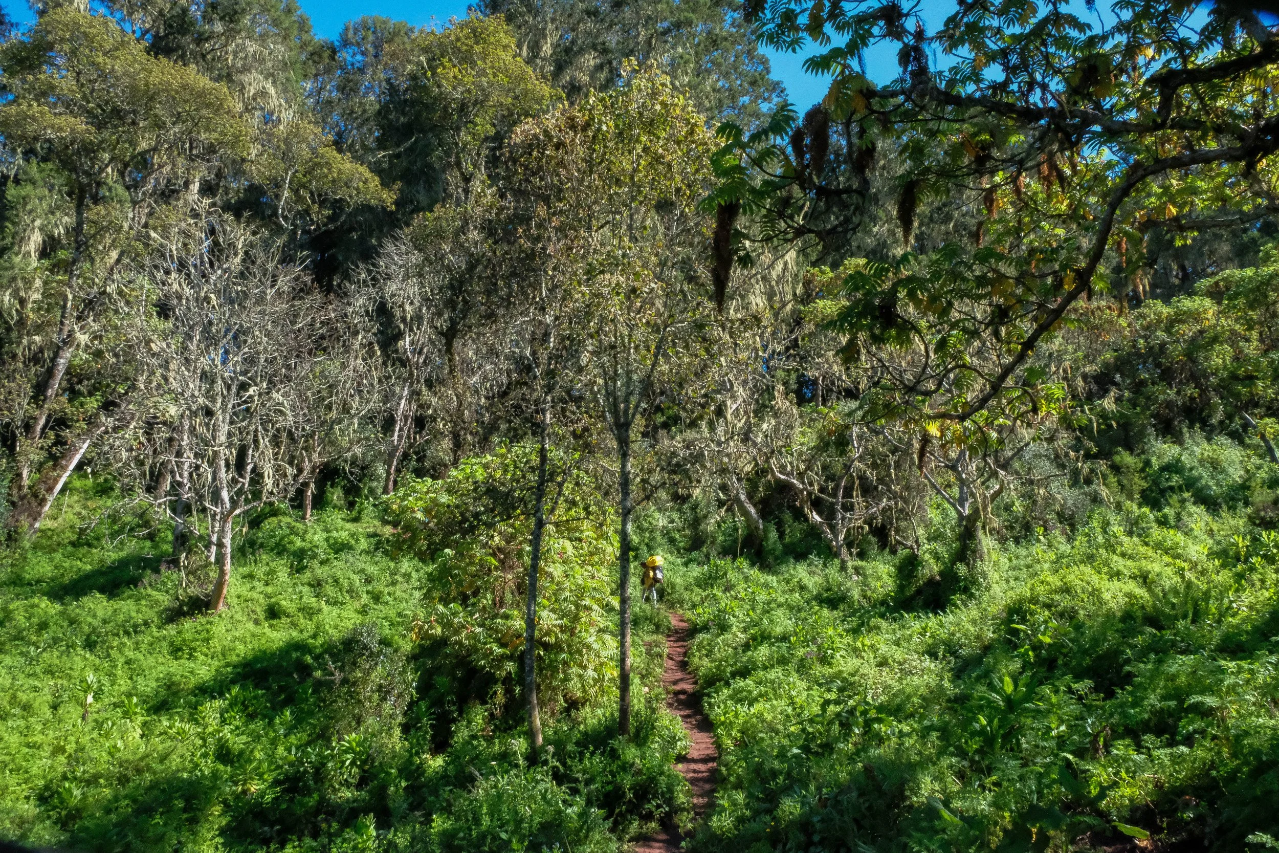
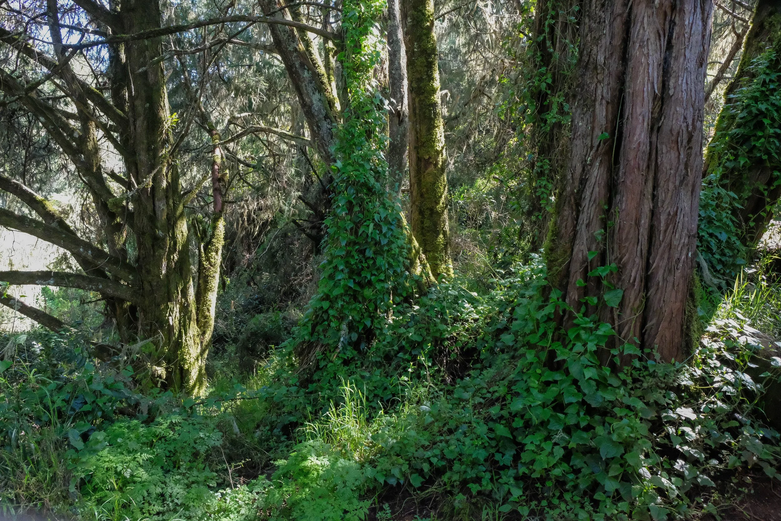
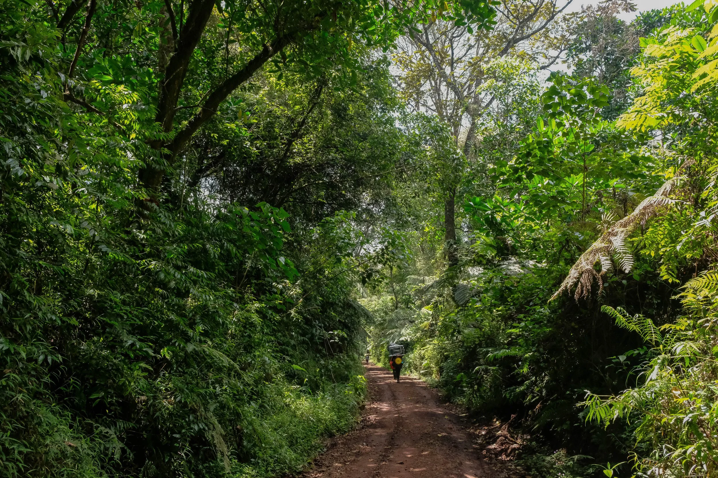
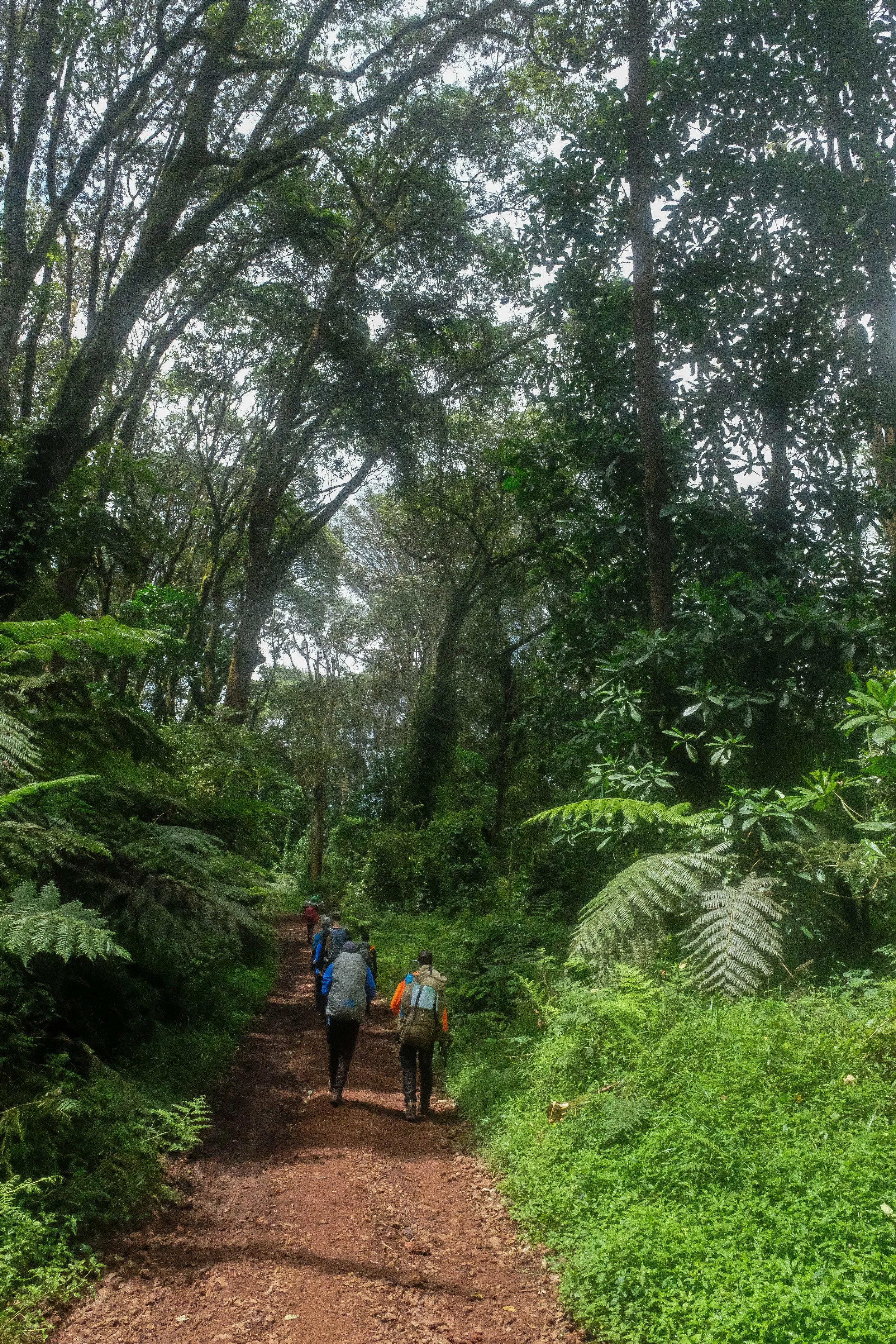
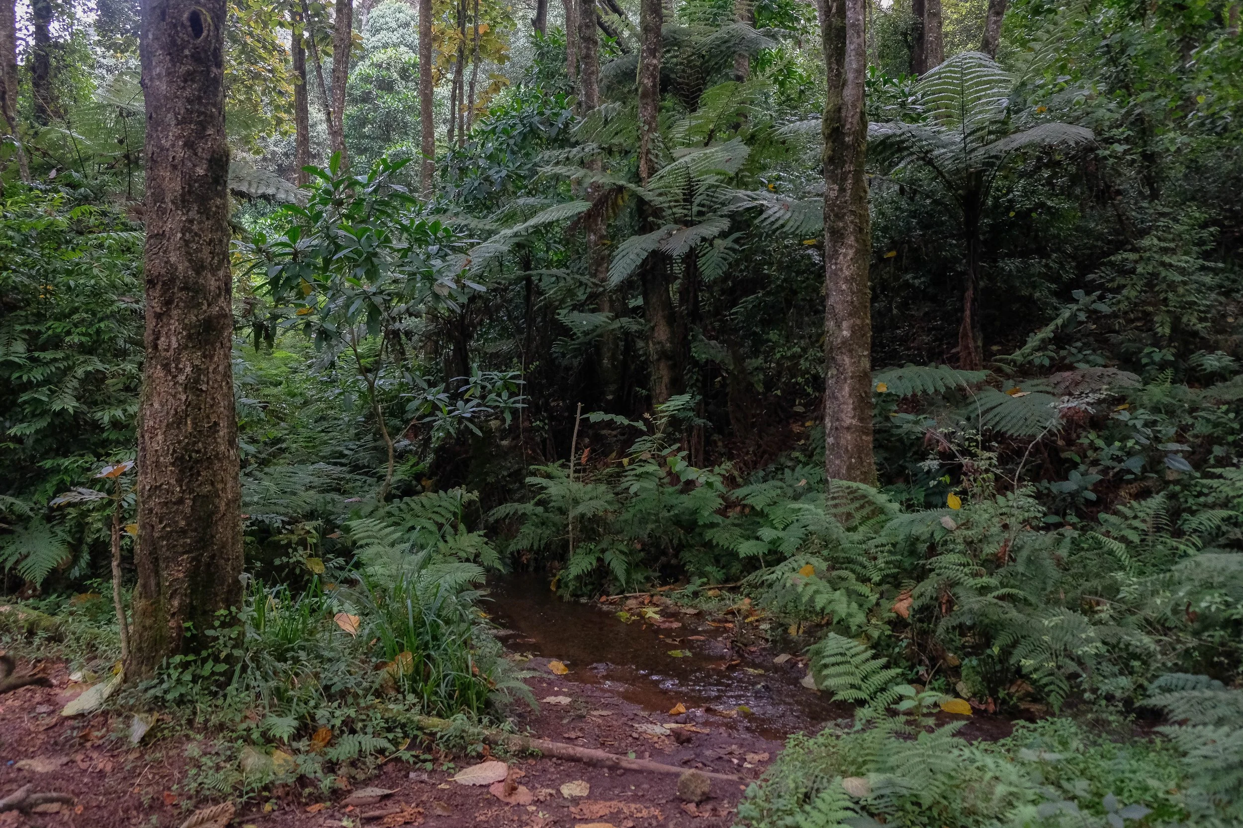
After lunch, we set out on the trail to Forest Camp. It was a beautiful, dense rainforest, with muddy sections of trail and monkeys swinging through the trees around us, to James’s endless delight. Our spirits were high and it felt amazing to be out of the bus, stretching our legs, and (finally!) walking through this glorious landscape. We practiced Swahili words and phrases and continued getting to know our guides—Balaka, Isaya, and Jovin—with whom we’d spend the most time this week.
We reached the bustling camp as the sun was setting, casting everything around us into brilliant gold and emerald green hues. This was our first introduction to the unbelievable spread of delicious food we would receive throughout the week: a far cry from our usual camping meals back home (ie, freeze dried dinners and lots of Larabars). It’s impossible to put into words the generosity and care that we were given from the entire team during this climb, but suffice it to say that it was significant and humbling to receive.
After our evening briefing about the following day, which was conducted nightly and included a check of our oxygen percentage, heart rate, and any symptoms (something our group quickly turned into a competition for the highest oxygen levels), we finished our cups of tea and honey, brushed our teeth under trees filled with monkeys, and slipped into our sleeping bags for our first night on the mountain.

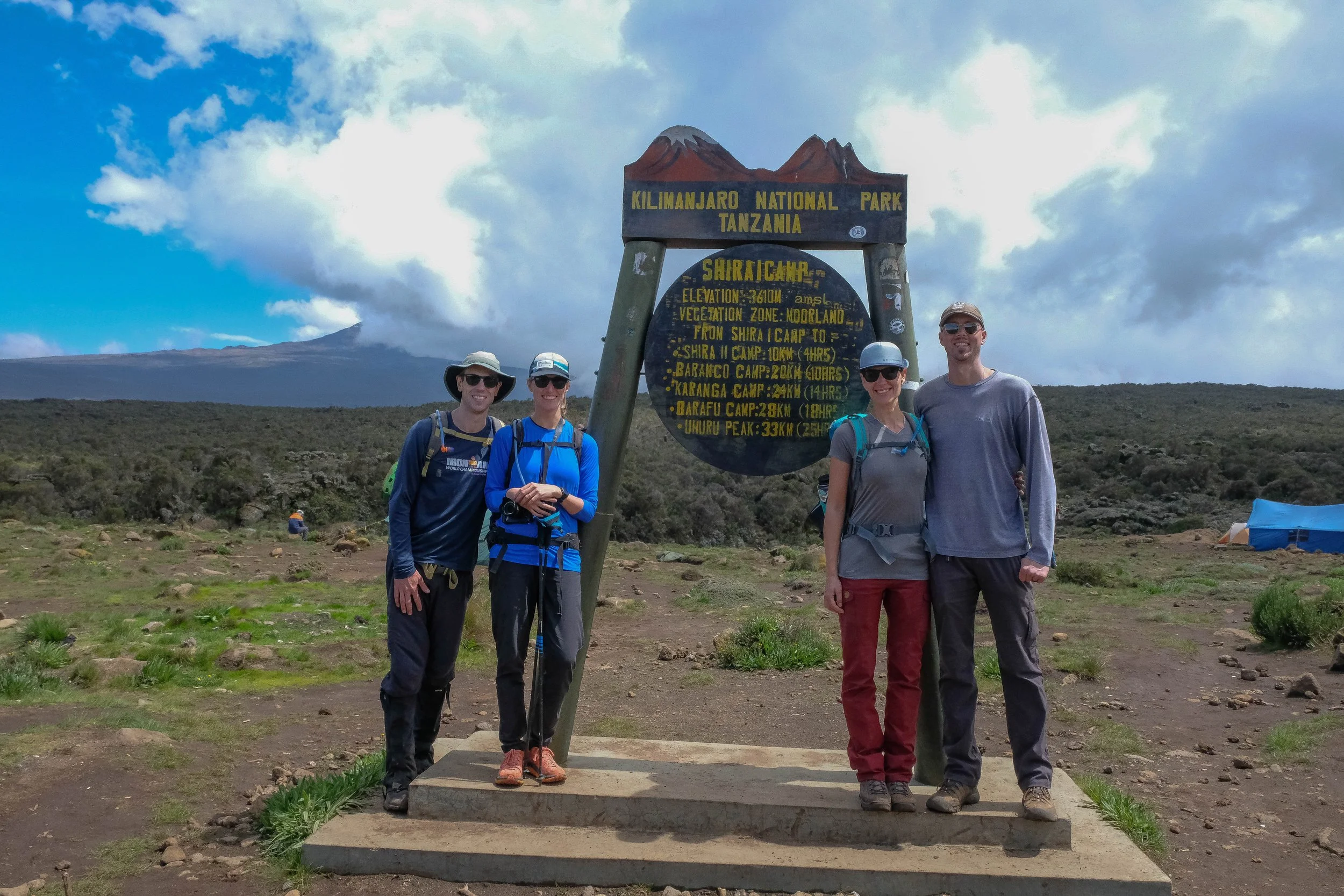
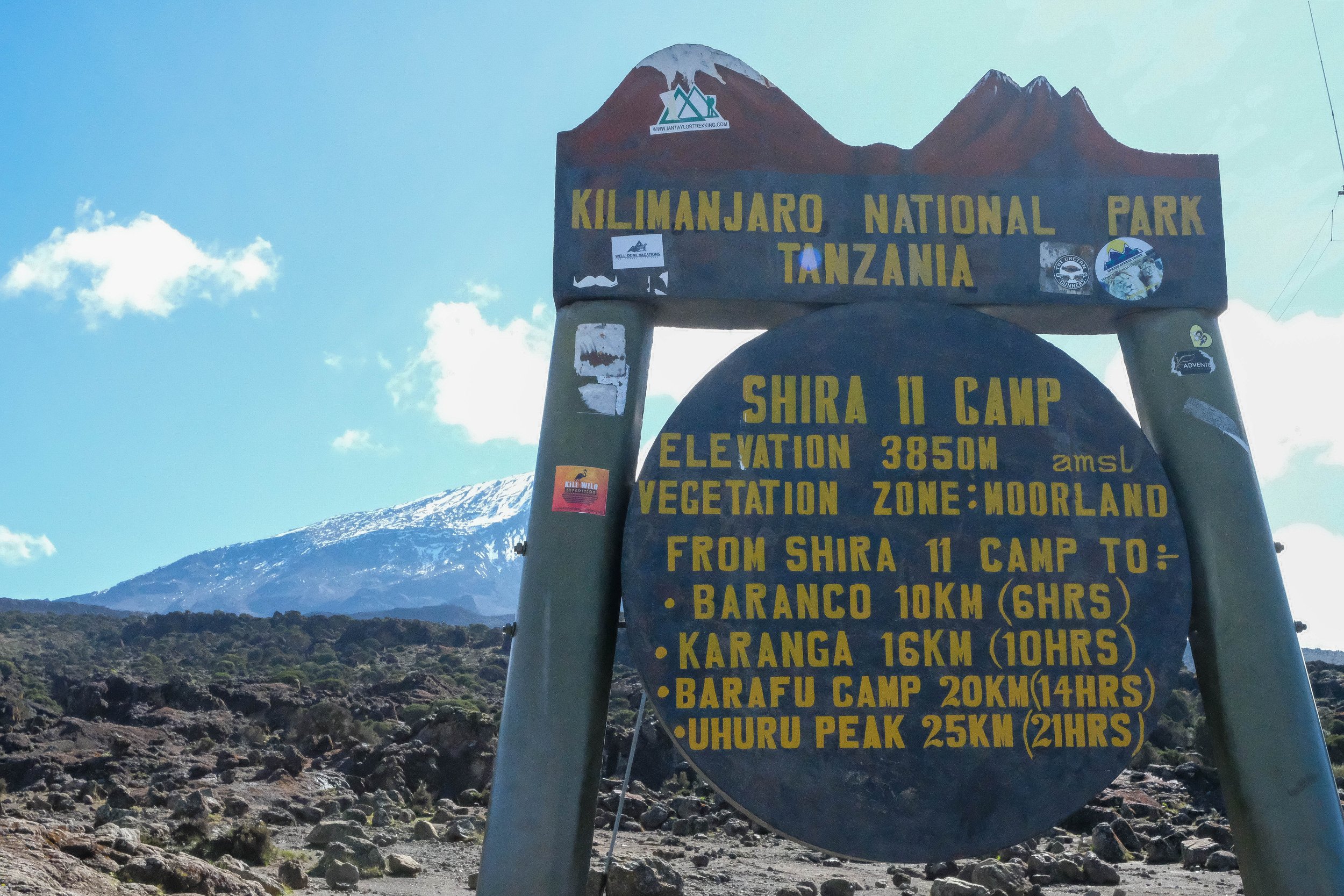
Day 2: Forest Camp to Shira I & II | 11.8 miles | 8,695 ft - 12,630 ft
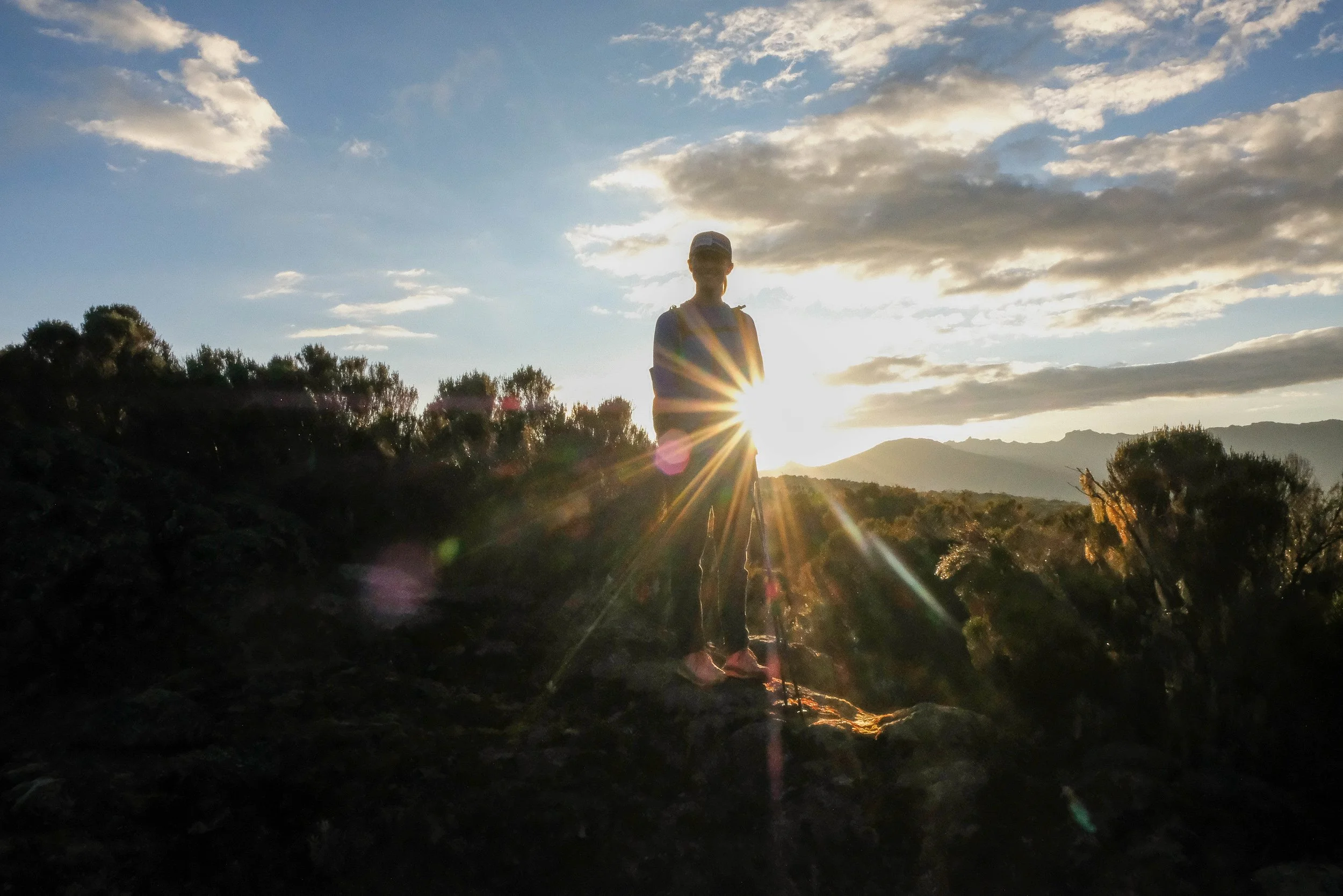
Our first full day on the mountain began with blue monkeys creeping through the trees over our heads, cassava pancakes that I can’t stop raving about, and an introduction to “bed tea.” Bed tea, which was actually coffee in our case, is when we were given the gentlest half-hour warning to wake up, pack our bags, and be ready for the start of that day’s hike. Eresto, a member of our team with the most contagious positive energy I’ve ever encountered, brought a tray of mugs with a selection of coffee, tea, and drinking chocolate and a carafe of hot water to our tent. “Good morning, kaka (brother)! Good morning, dada (sister)!” he singsongs quietly but cheerfully through the side of our tent. “How did you sleep? Like a lion?”
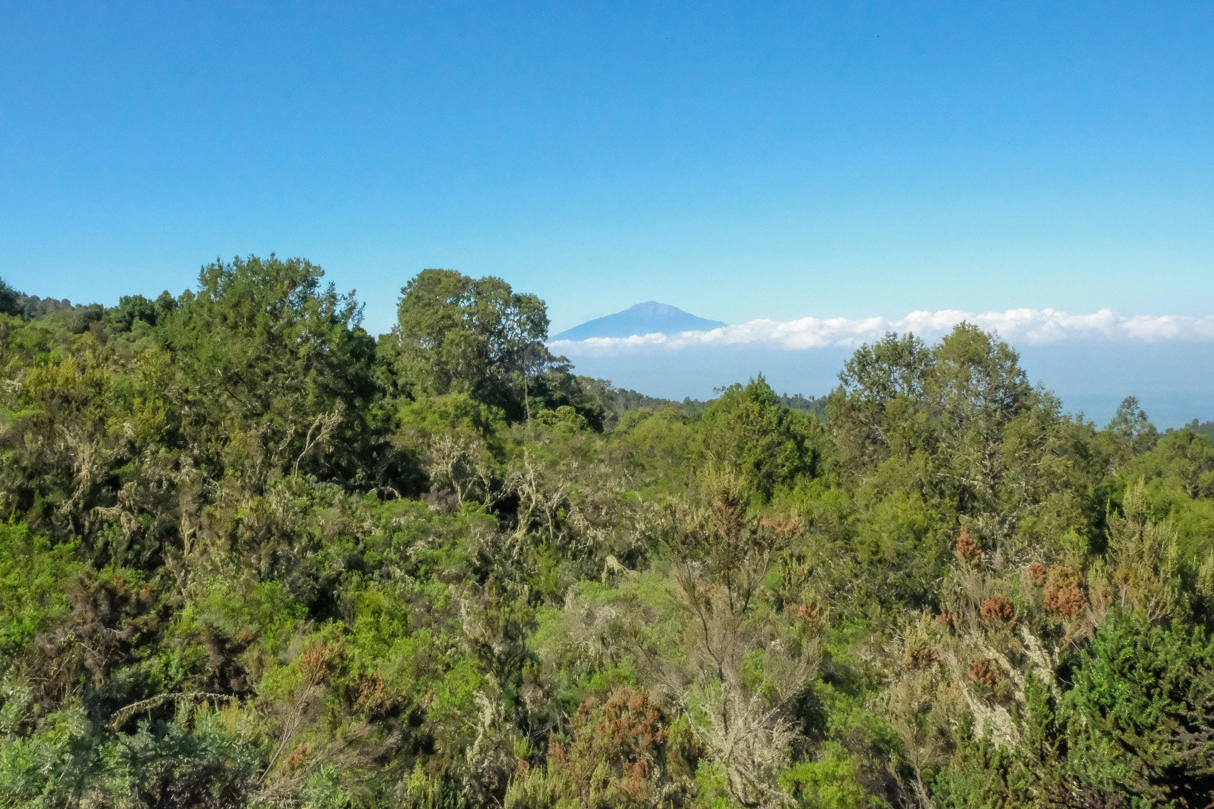
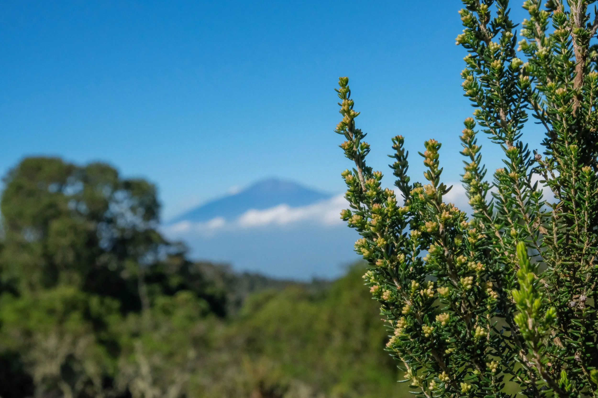
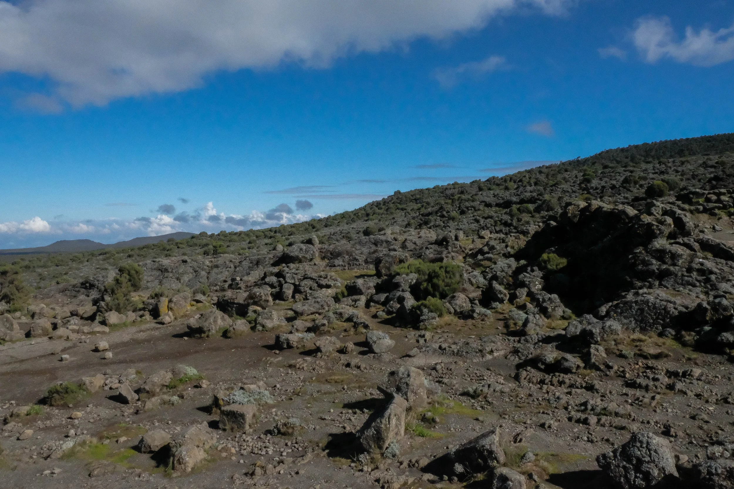
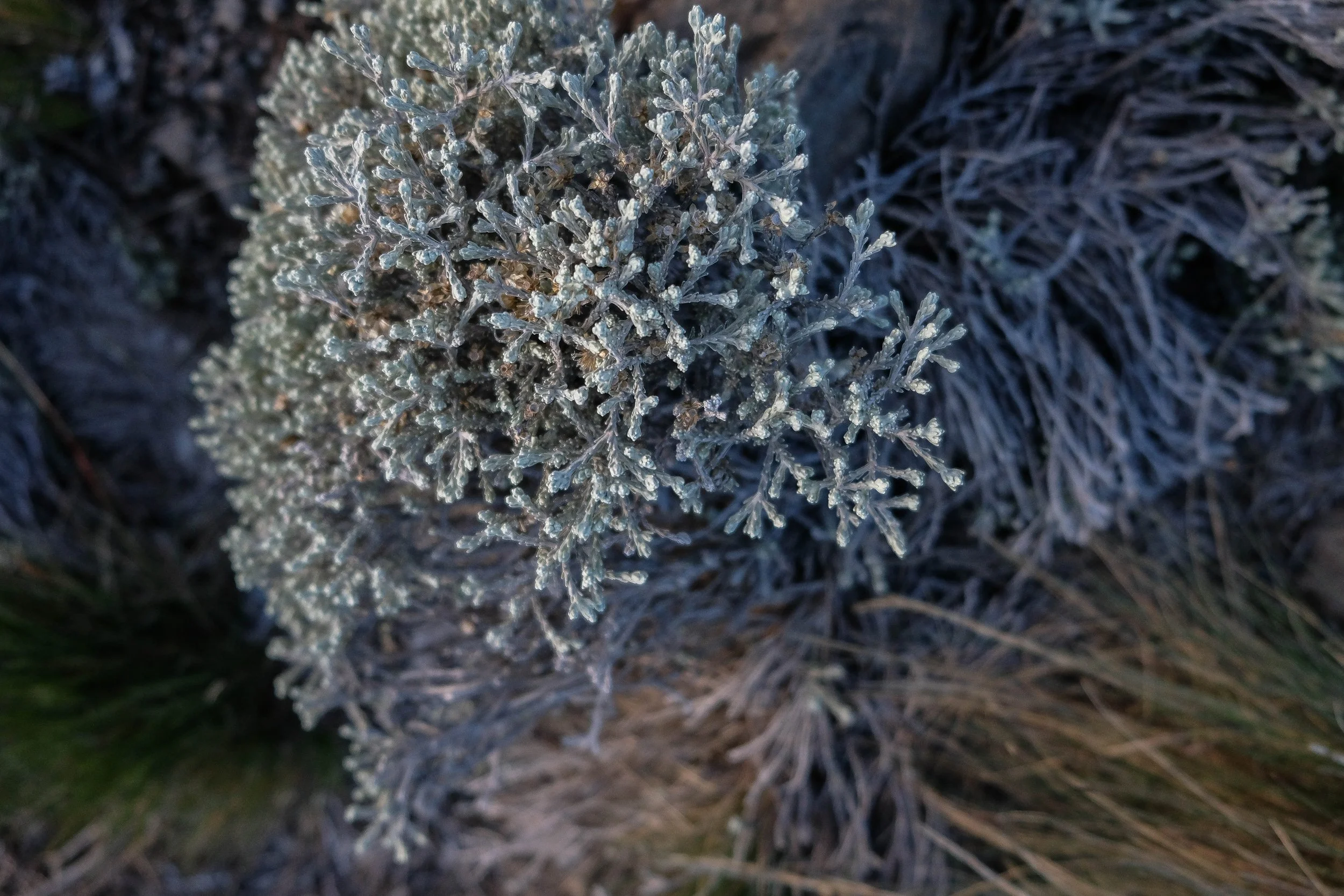
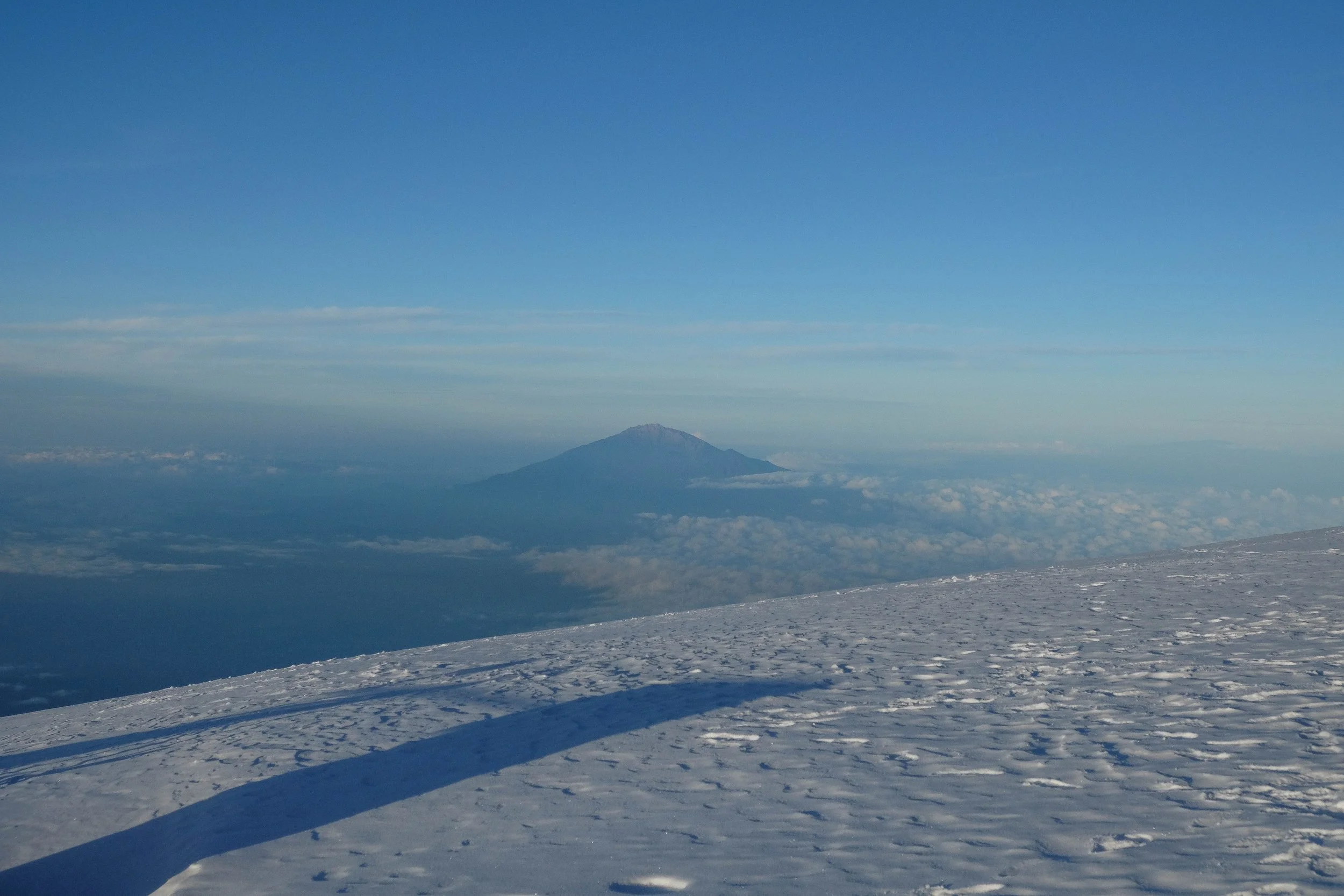
This was one of our biggest days of hiking, as we’d made the decision with our guides to combine two days into one early on in the trek, to give us more rest and recovery time closer to summit day. The first part of the day found us slowly wending our way out of the rainforest—leaving behind the shade of the trees, the monkeys, and the muddy trail—and into the next climate zone: Moorland. Mt. Meru was visible and I rejoiced that we’d reached the portion of the trek where the views were more wide open and far reaching.
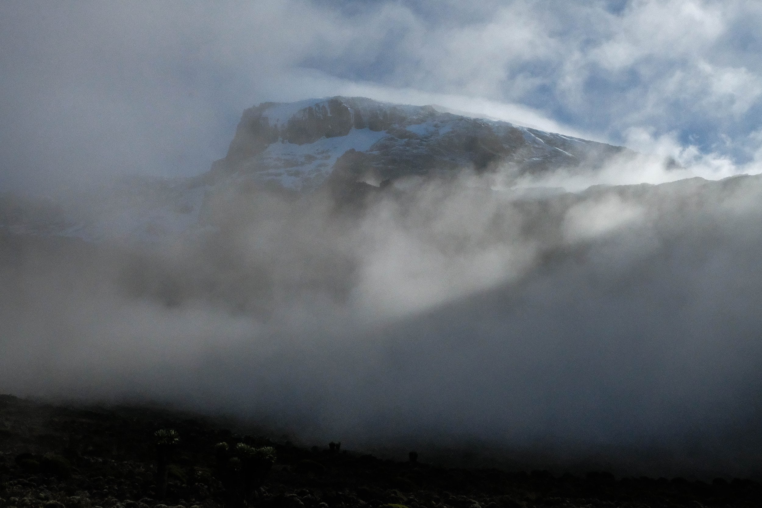
We first made our way to Shira I camp for a midday lunch and rest, then packed up a second time and set out for Shira II in the mid-afternoon. My favorite memory of this day was as dusk fell and the clouds around Kilimanjaro began to clear for our first view of the summit since we’d started the trek. It was topped with crisp white snow, glowing orange and pink in the sunset, dominating the horizon to our left.
Other core memories of Shira II include James unfortunately developing a mild fever (which thankfully broke quickly with rest, warmth, and ibuprofen), the velvety night sky filled with twinkling stars, and an almost full moon lighting up Kilimanjaro in a silvery glow. This was one of the coldest nights on the mountain, but it was snug and warm in our tents as we drifted off to sleep.

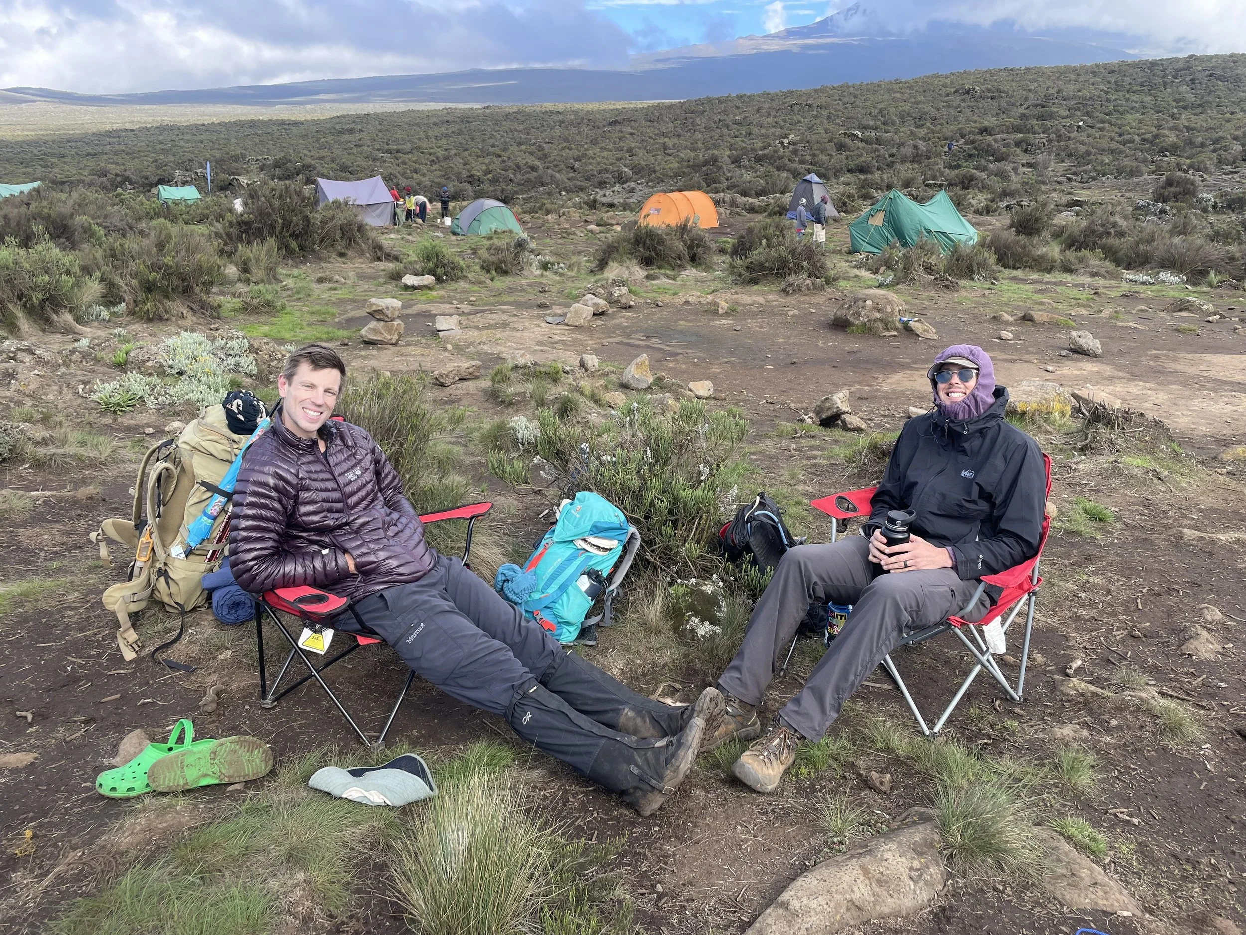
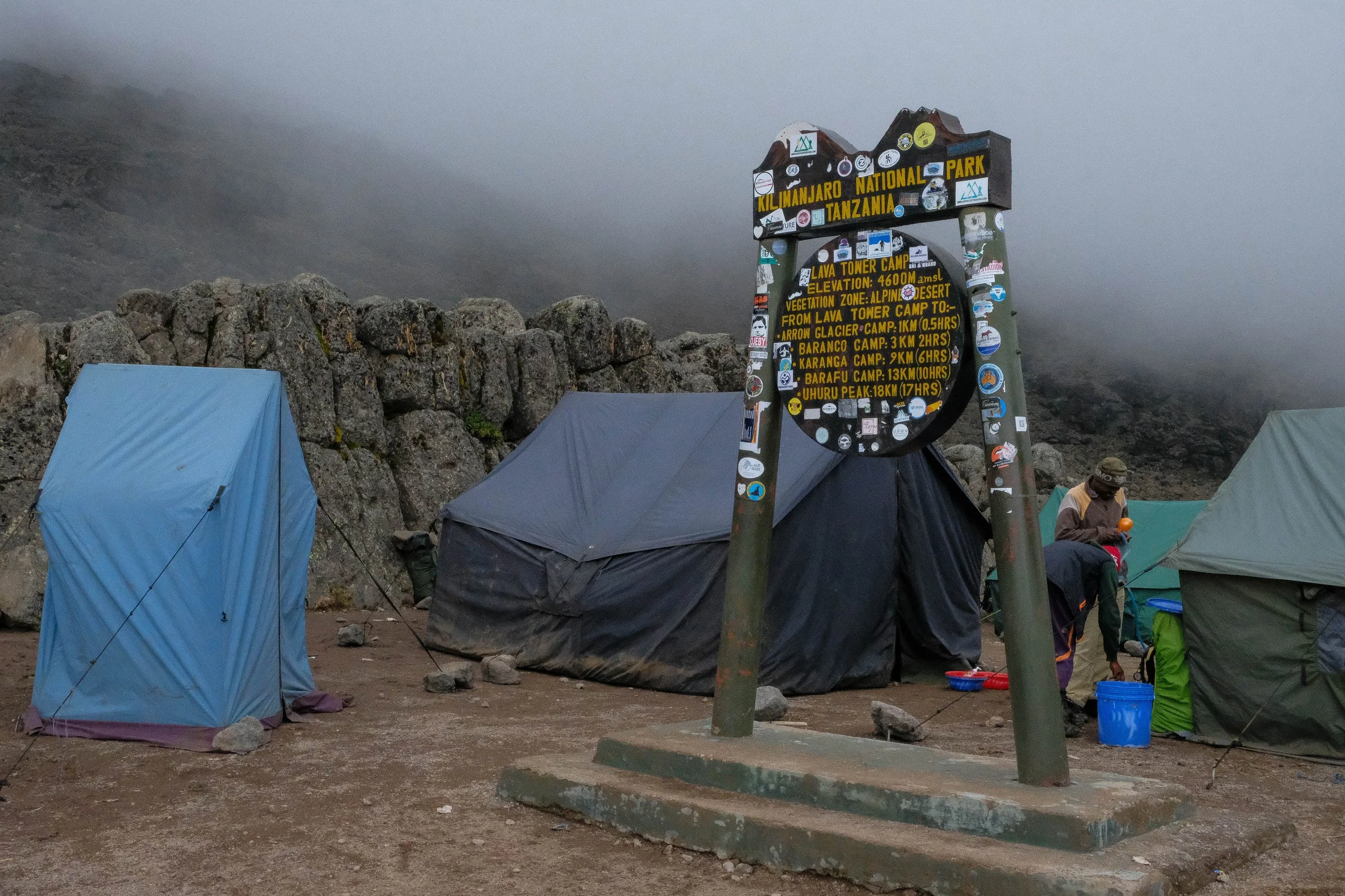
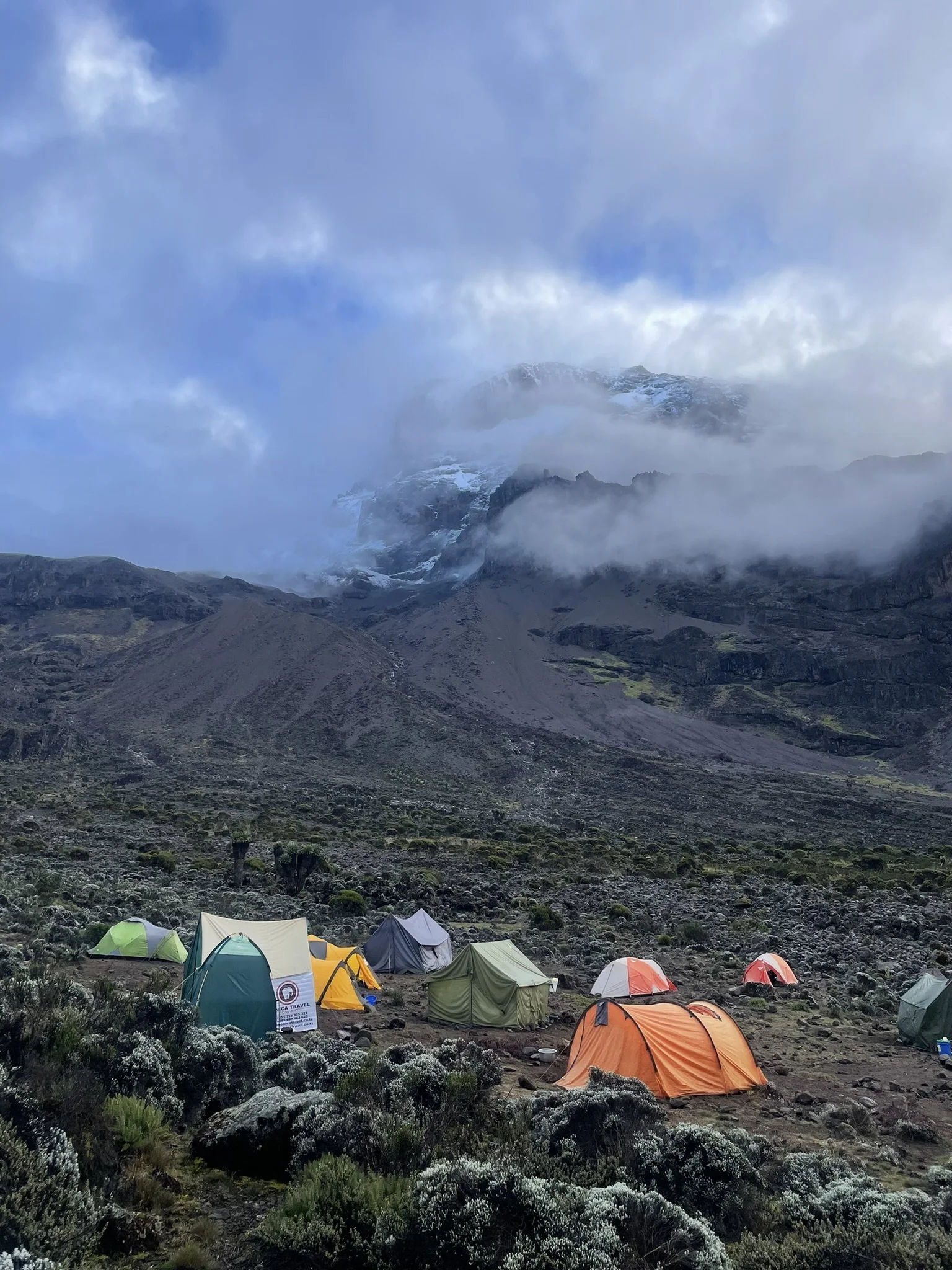
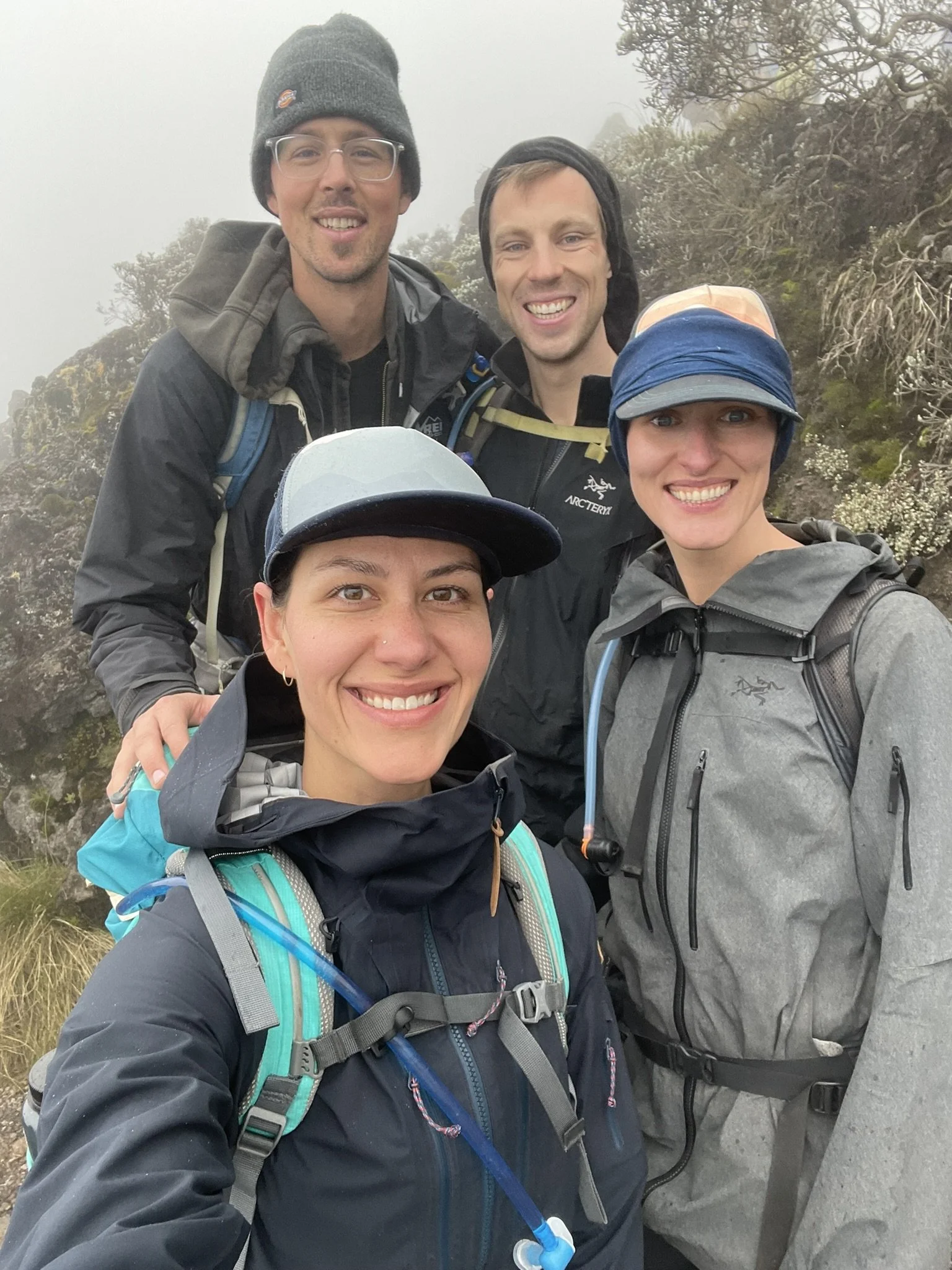
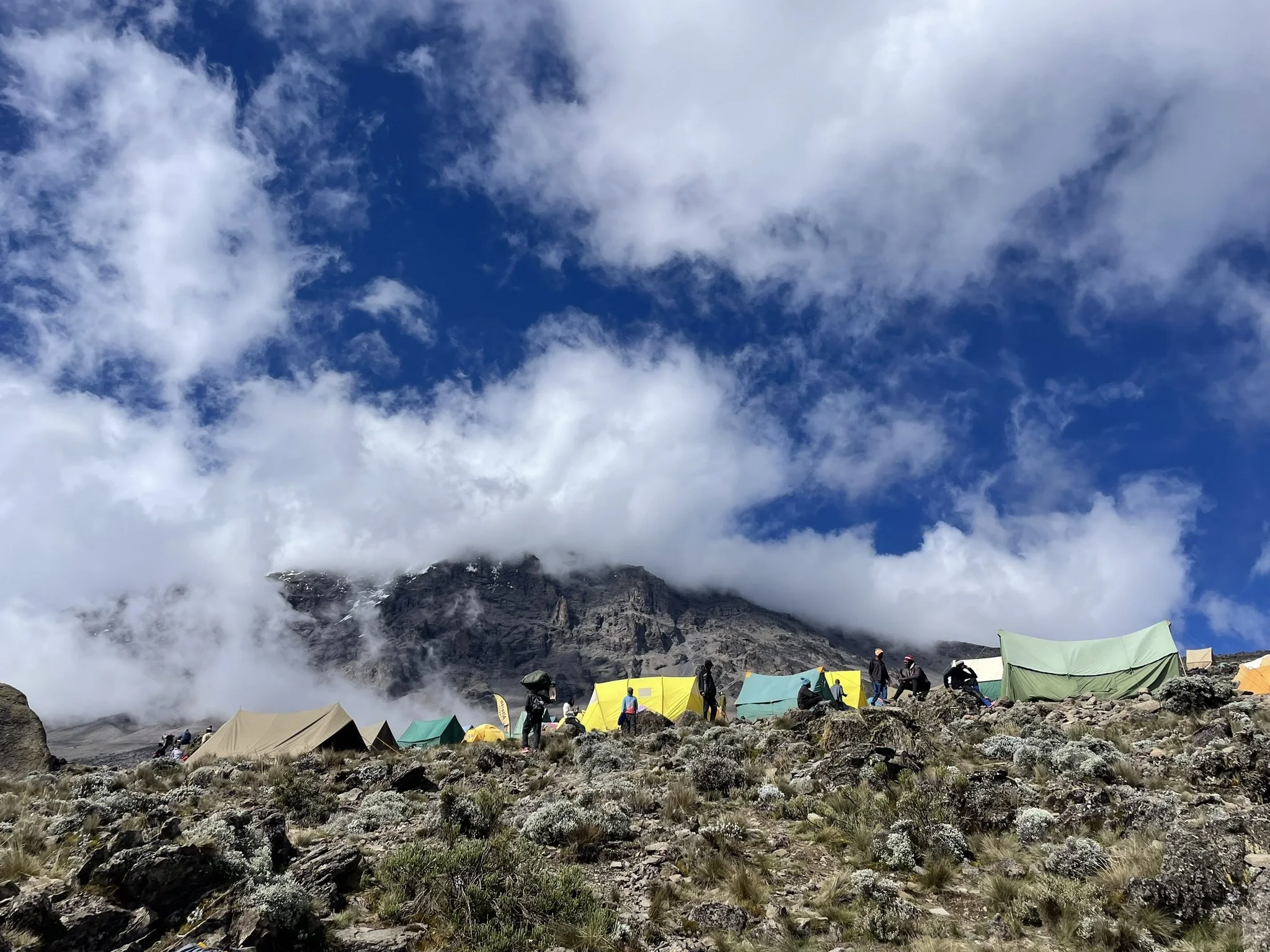
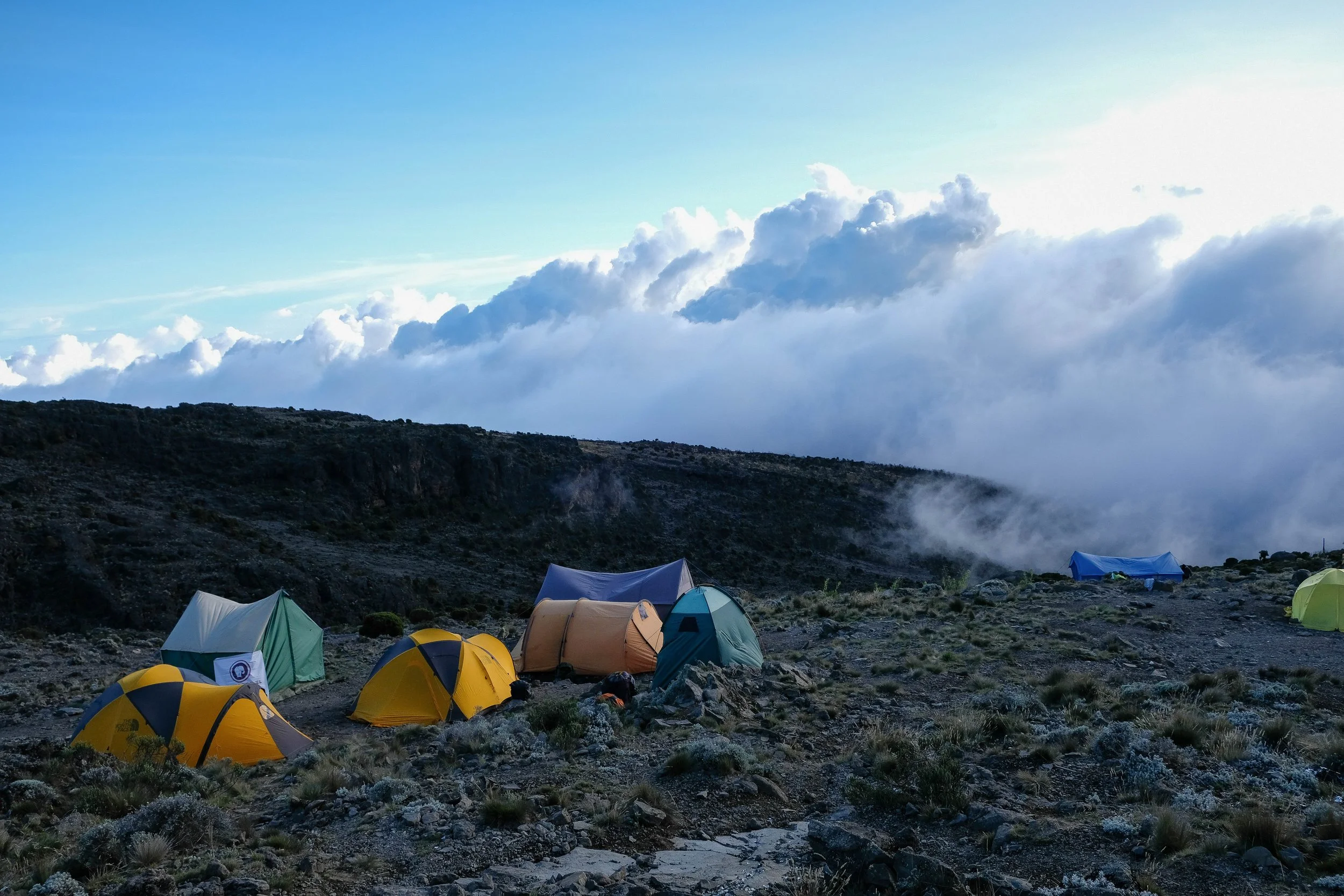
Day 3: Shira II to Lava Camp to Baranco Camp | 5.6 miles | 12,630 ft - 15,220 ft - 13,070 ft
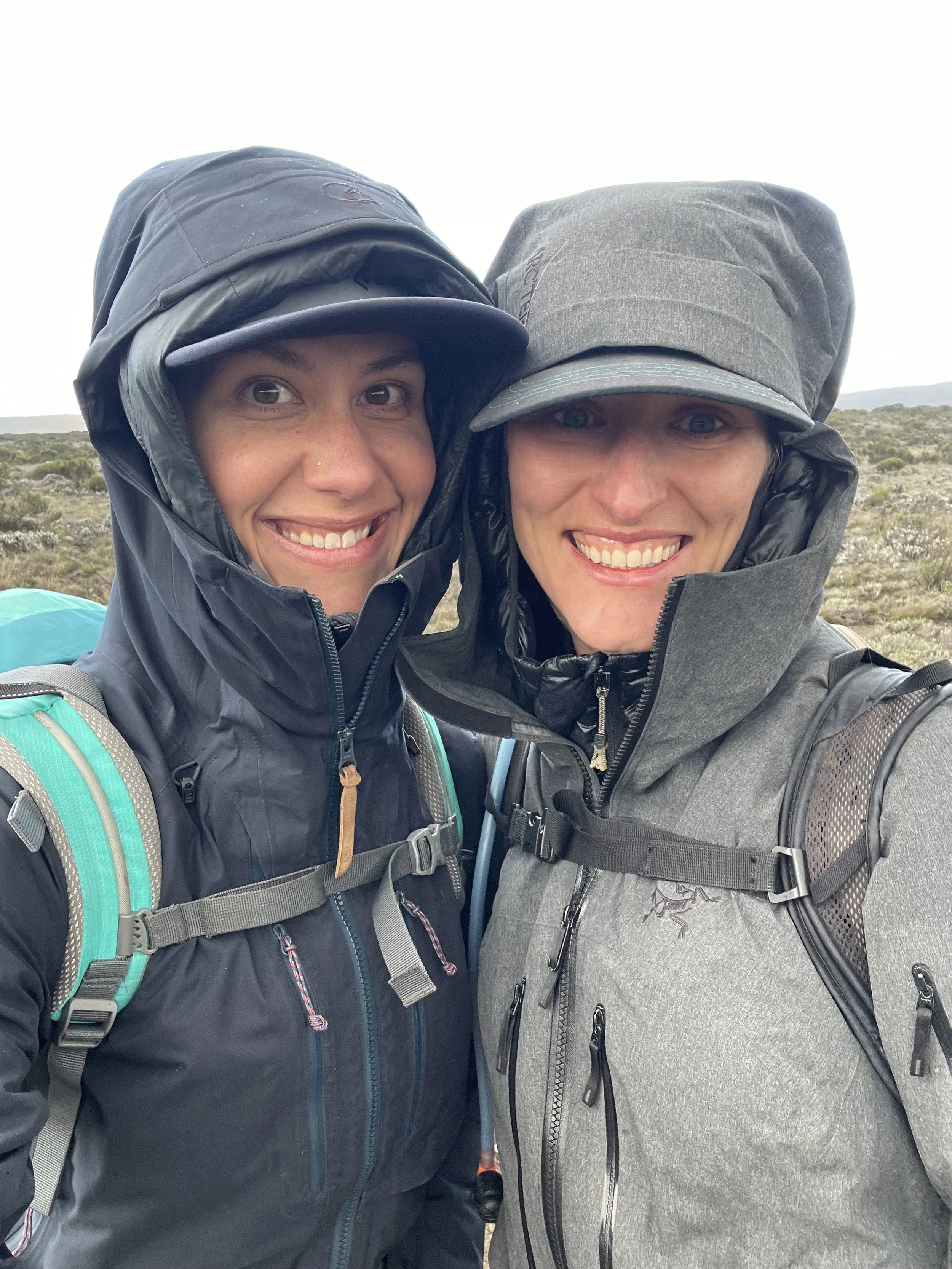
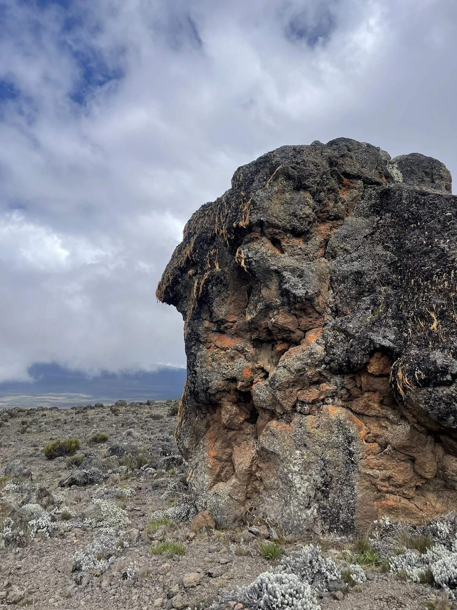
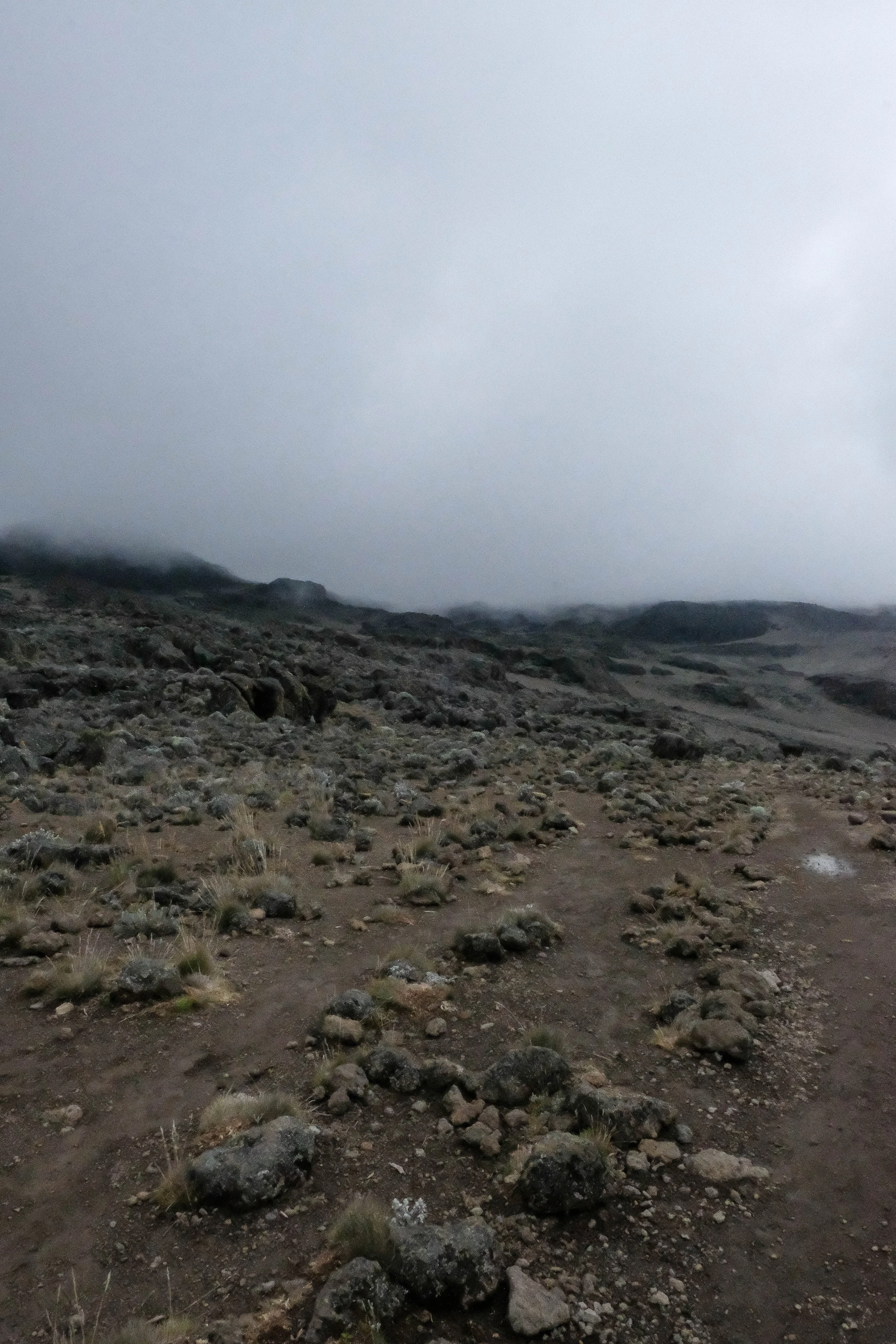
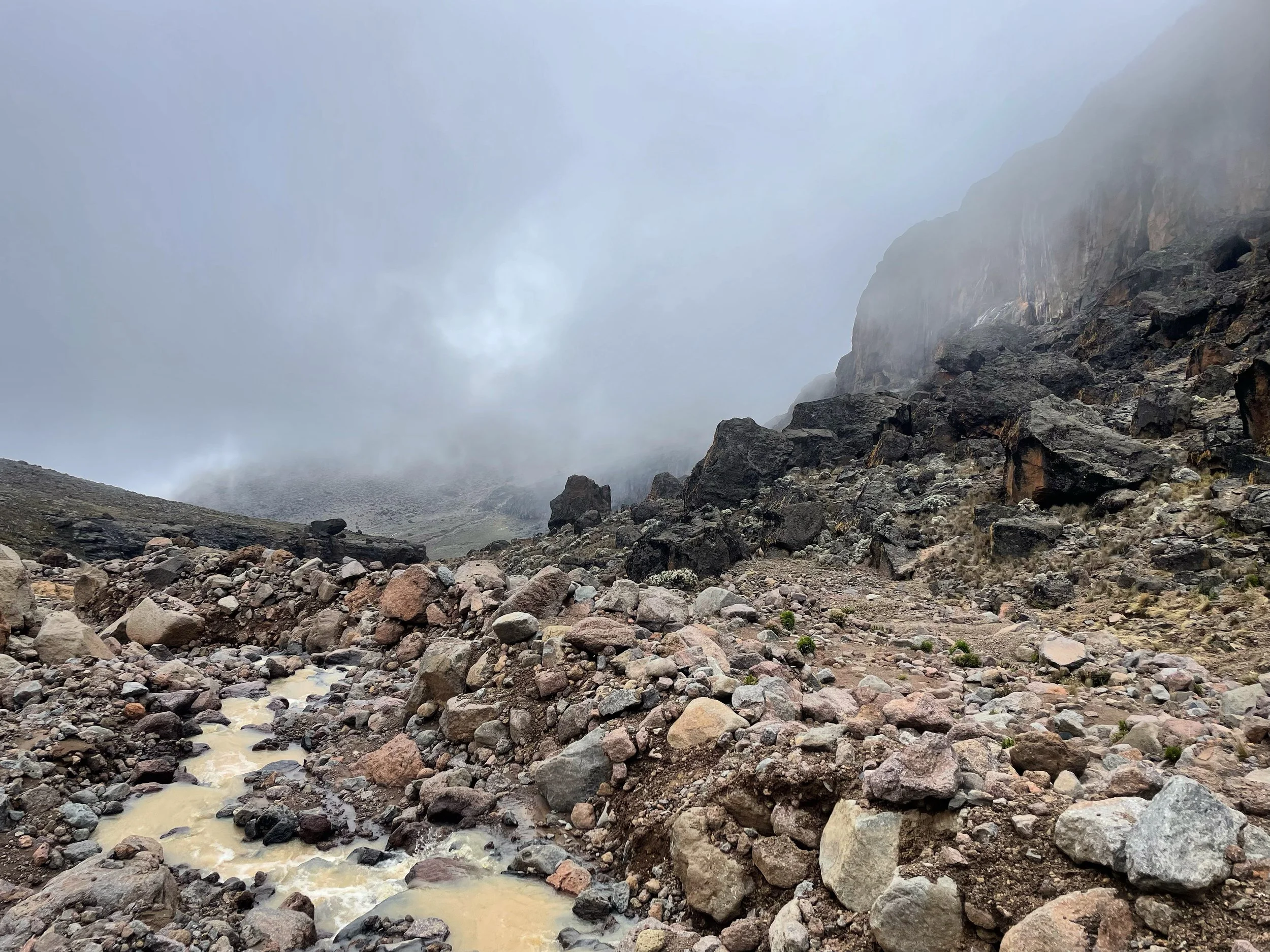
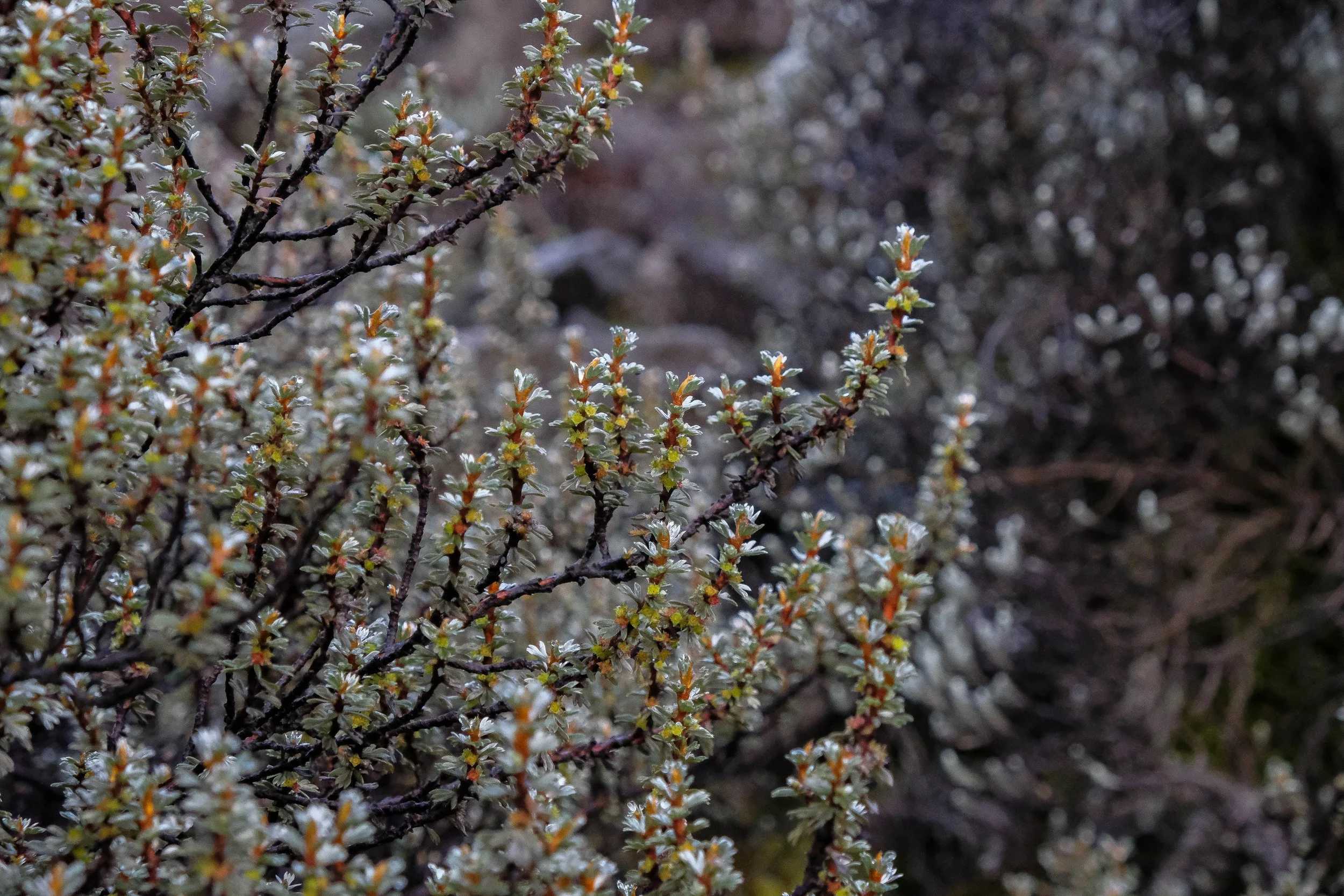
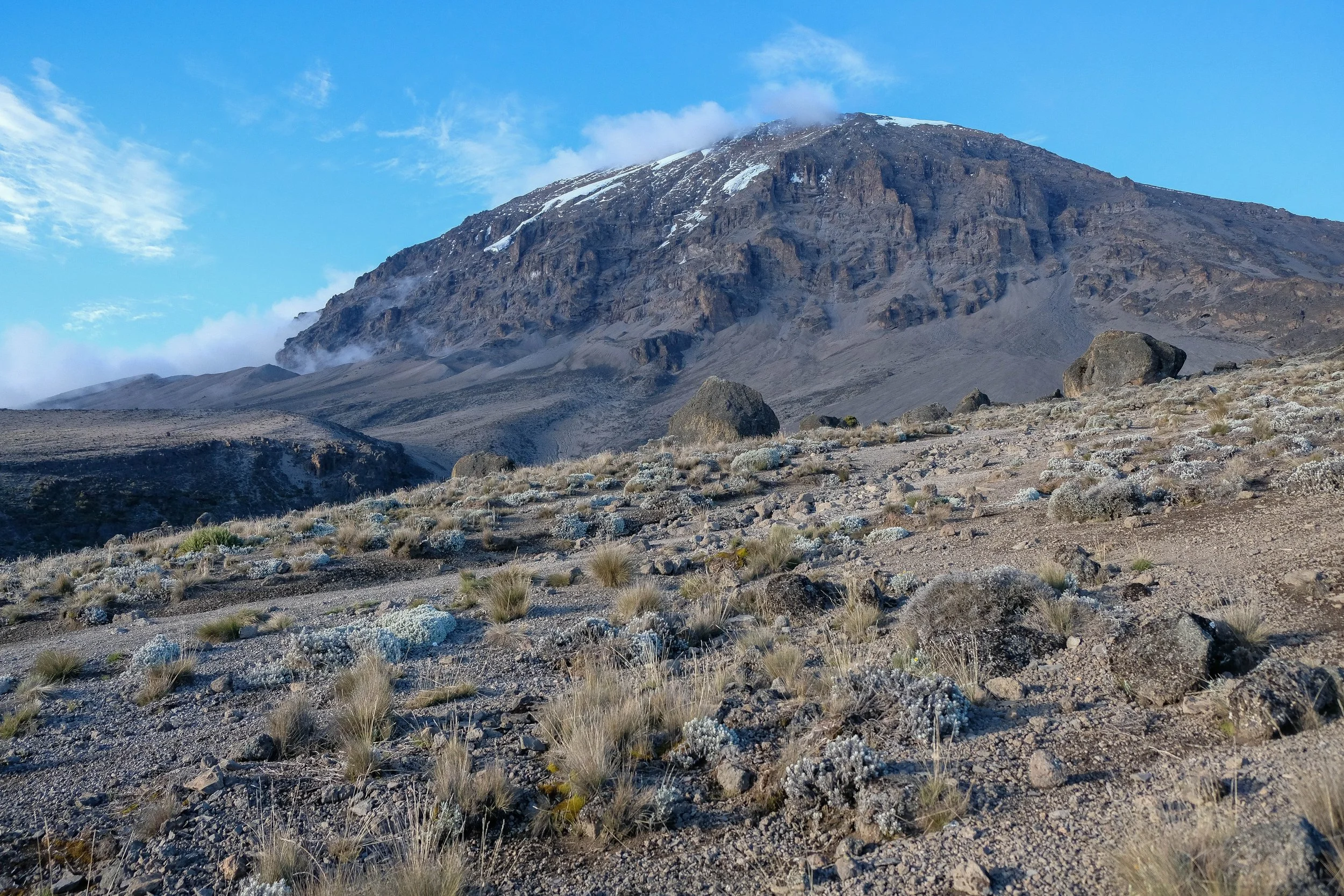
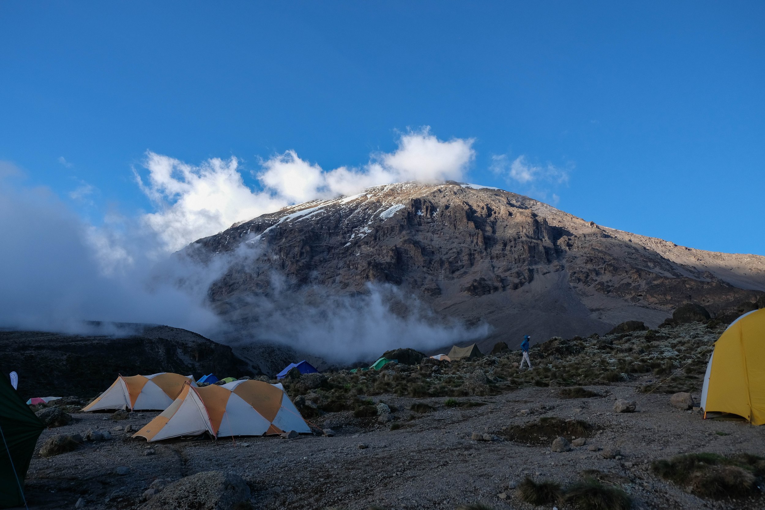
We enjoyed a later start on Day 3 with a wake-up call at 7:30. The sun was shining brightly, illuminating Kilimanjaro above us and the plateau sweeping away below us. After a delicious breakfast, we set out through the semi-desert landscape toward Lava Camp, which was situated in the alpine desert at over 15,000 ft. Our goal was to spend an acclimatization lunch break there before continuing down to Baranco Camp to sleep.
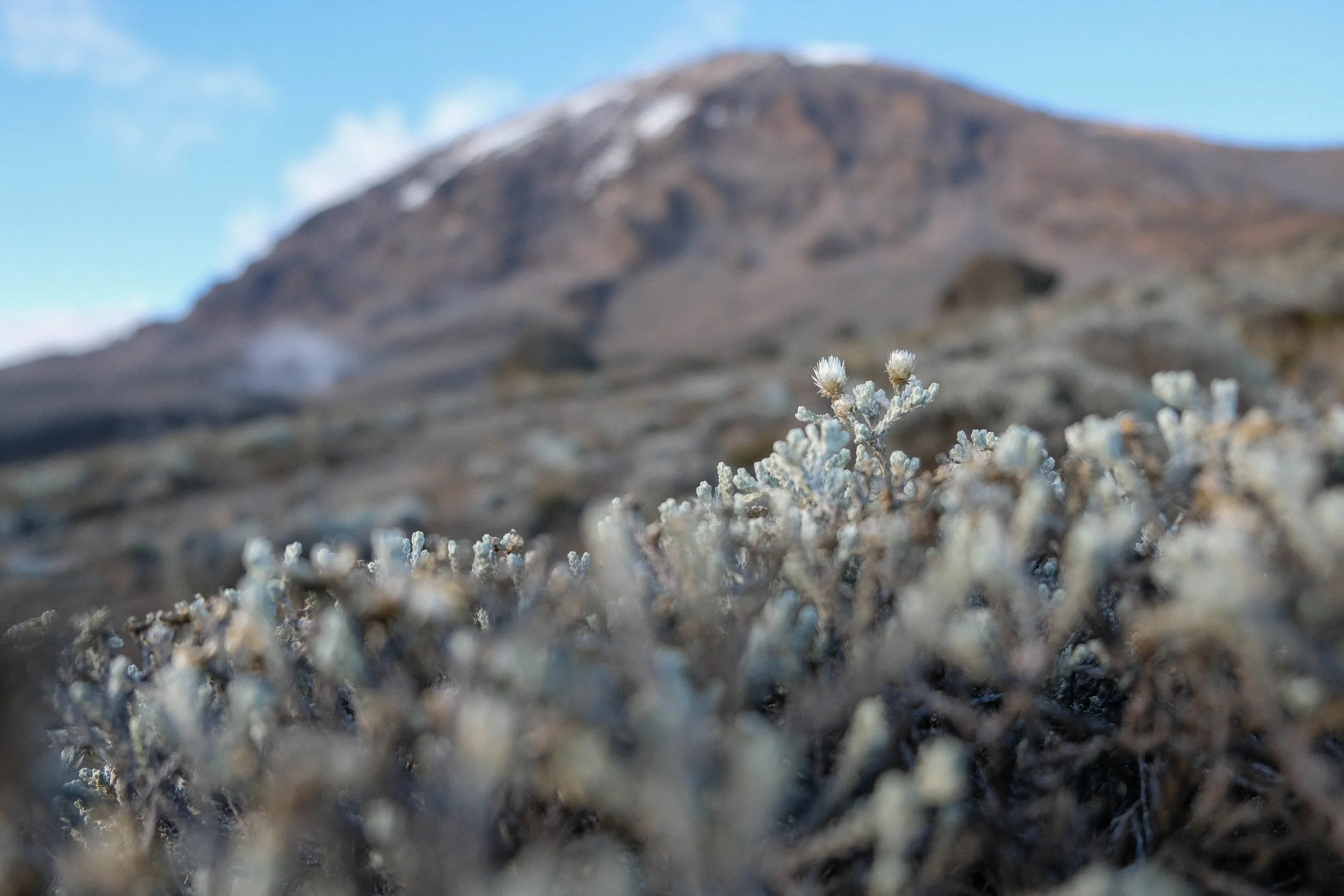
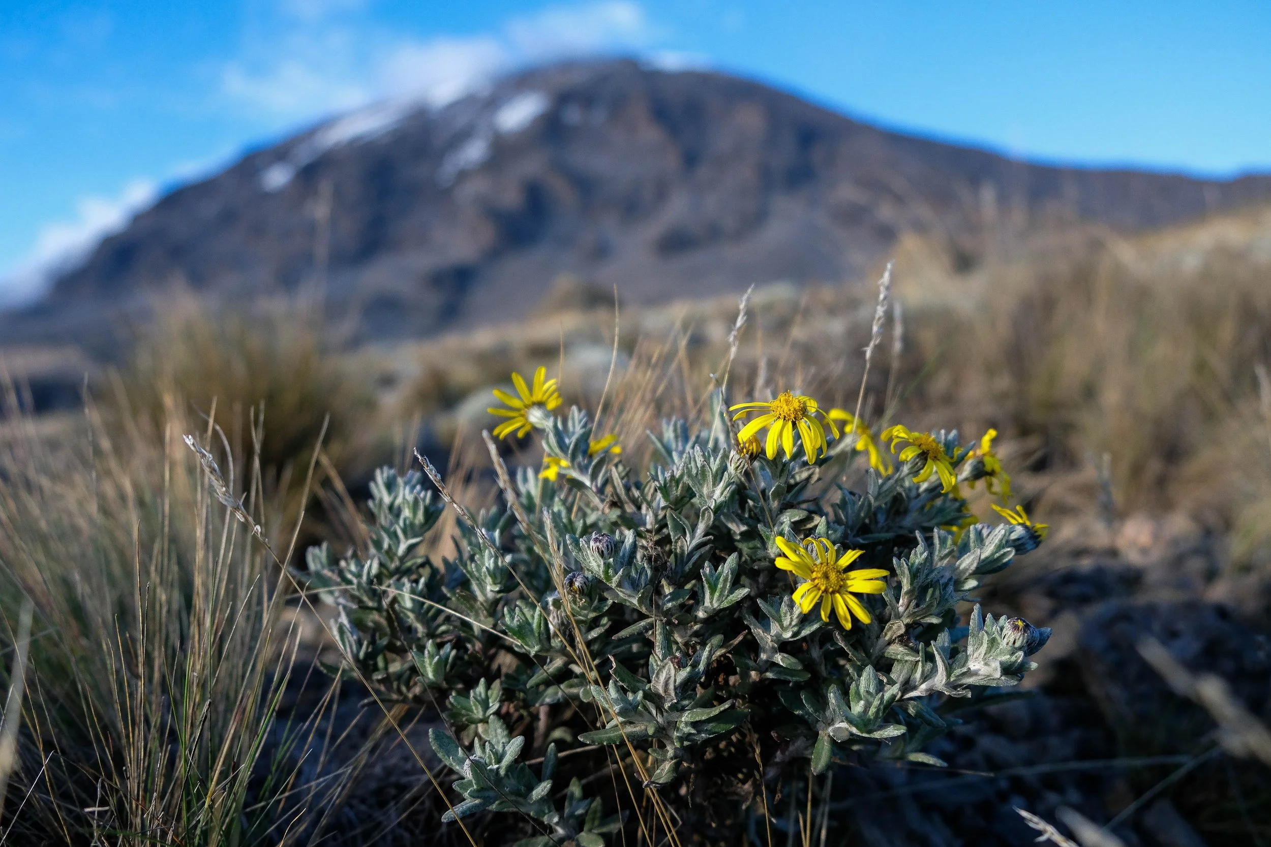
The sun disappeared and we spent the majority of the day in and out of mist and clouds. Little birds and tiny, hardy mountain flowers graced our path. I remember moments where I could almost tangibly feel my gratitude that I was exactly where I was at that very moment. We sang and even danced our way up the rocky slopes to Beyoncé (classic). It hadn’t taken our guides long to realize all they needed to do to get me and Alida fully hyped was to ask: “Who runs the world?” To which we brandished our hiking poles to the sky and enthusiastically proclaimed: “GIRLS!”
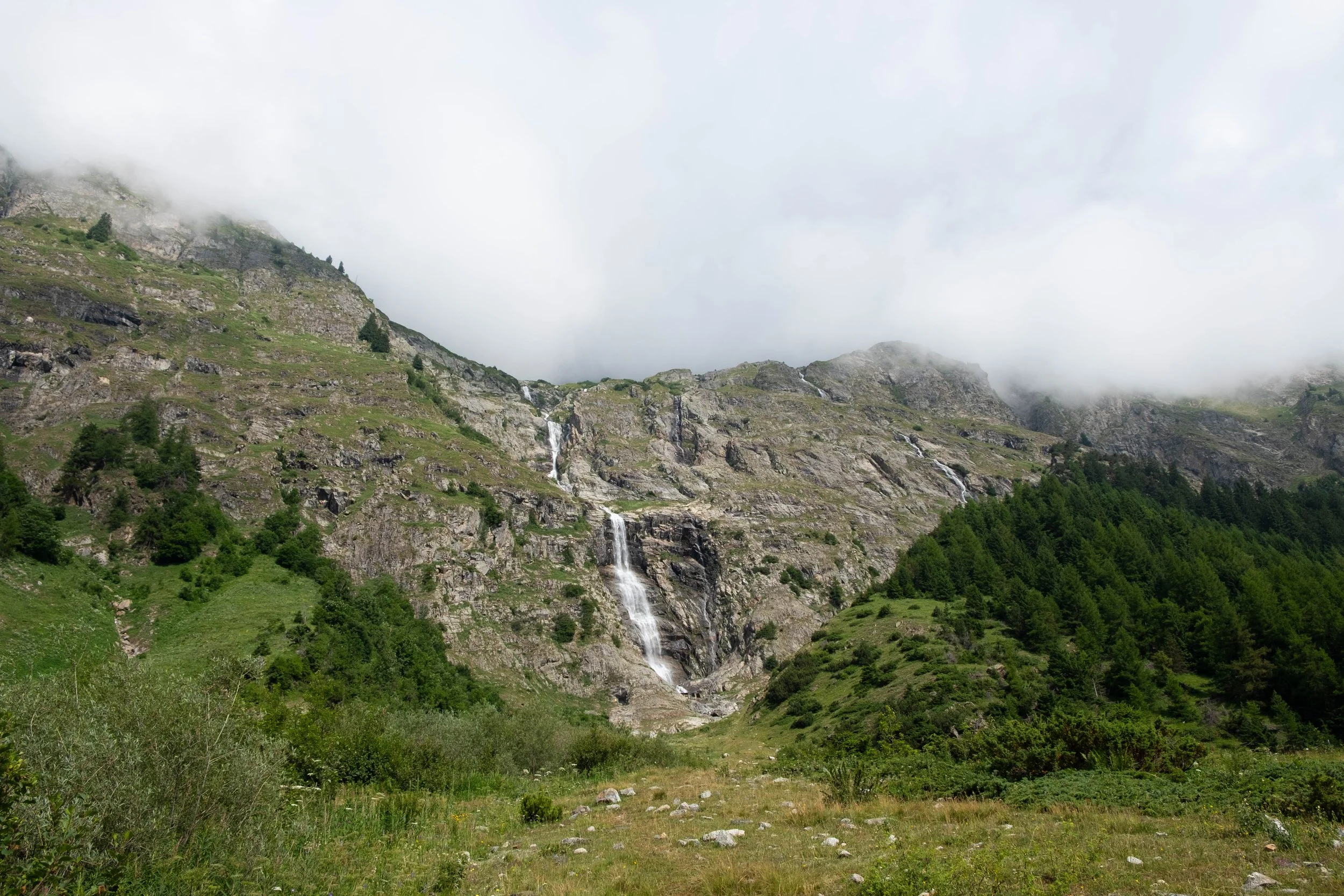
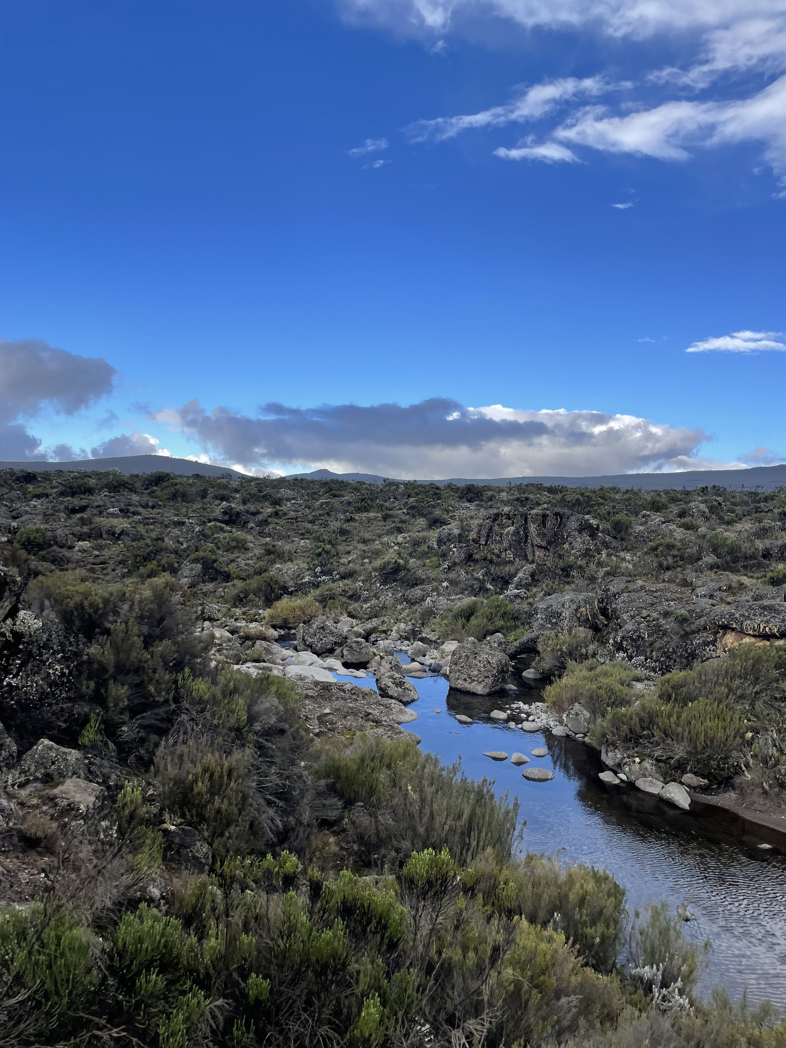
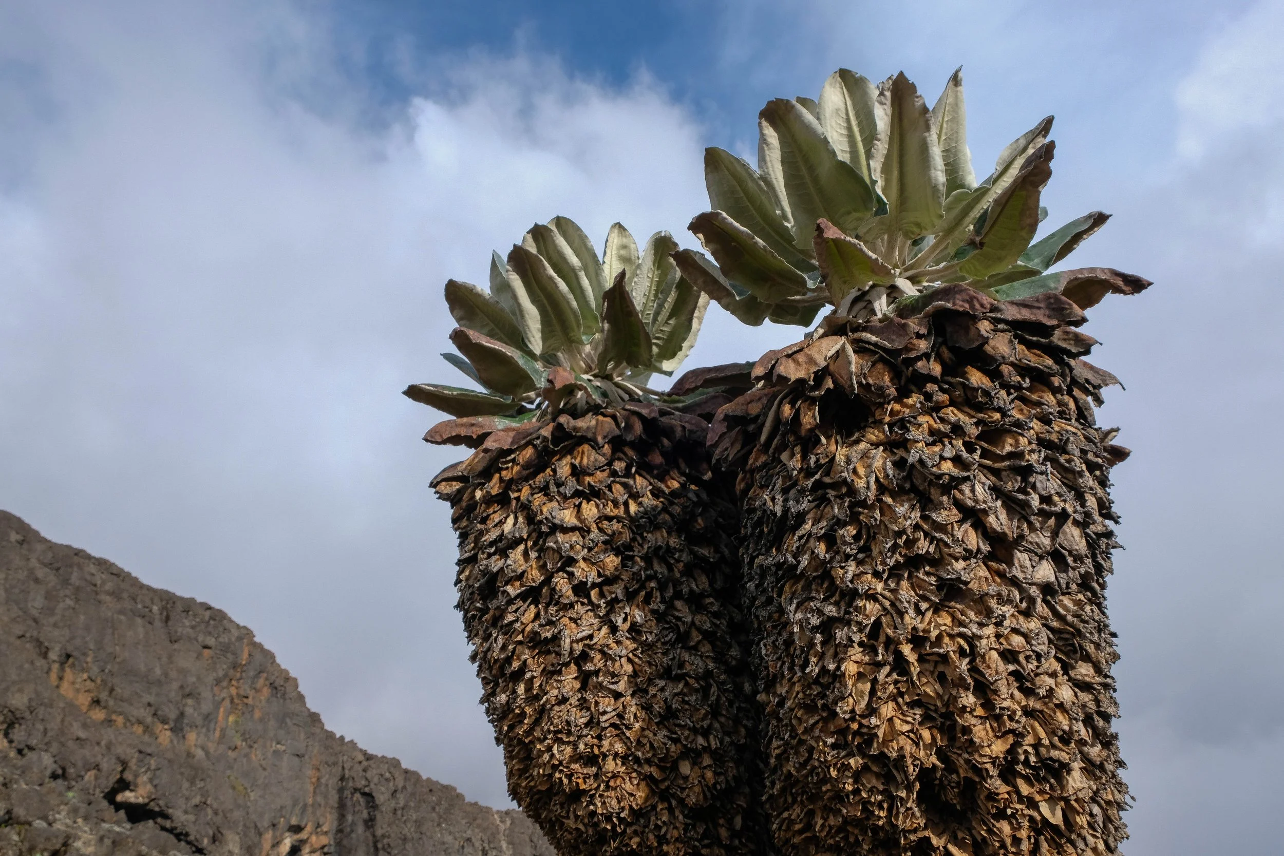
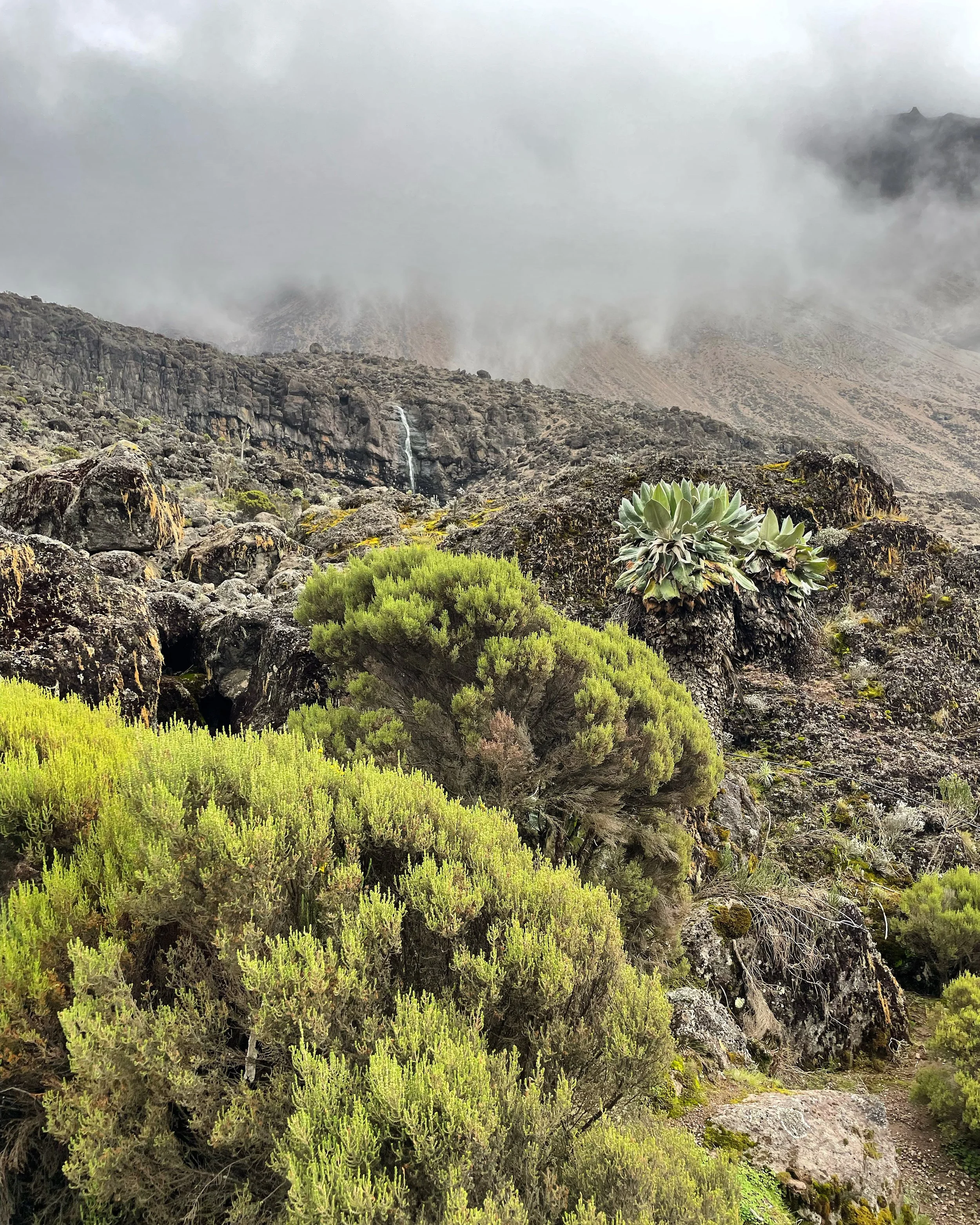
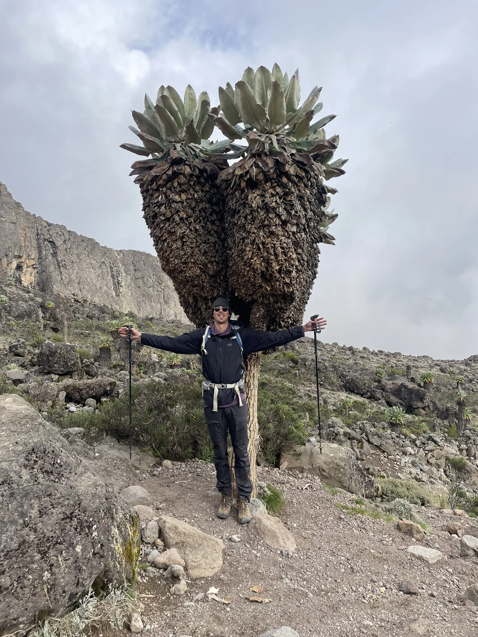
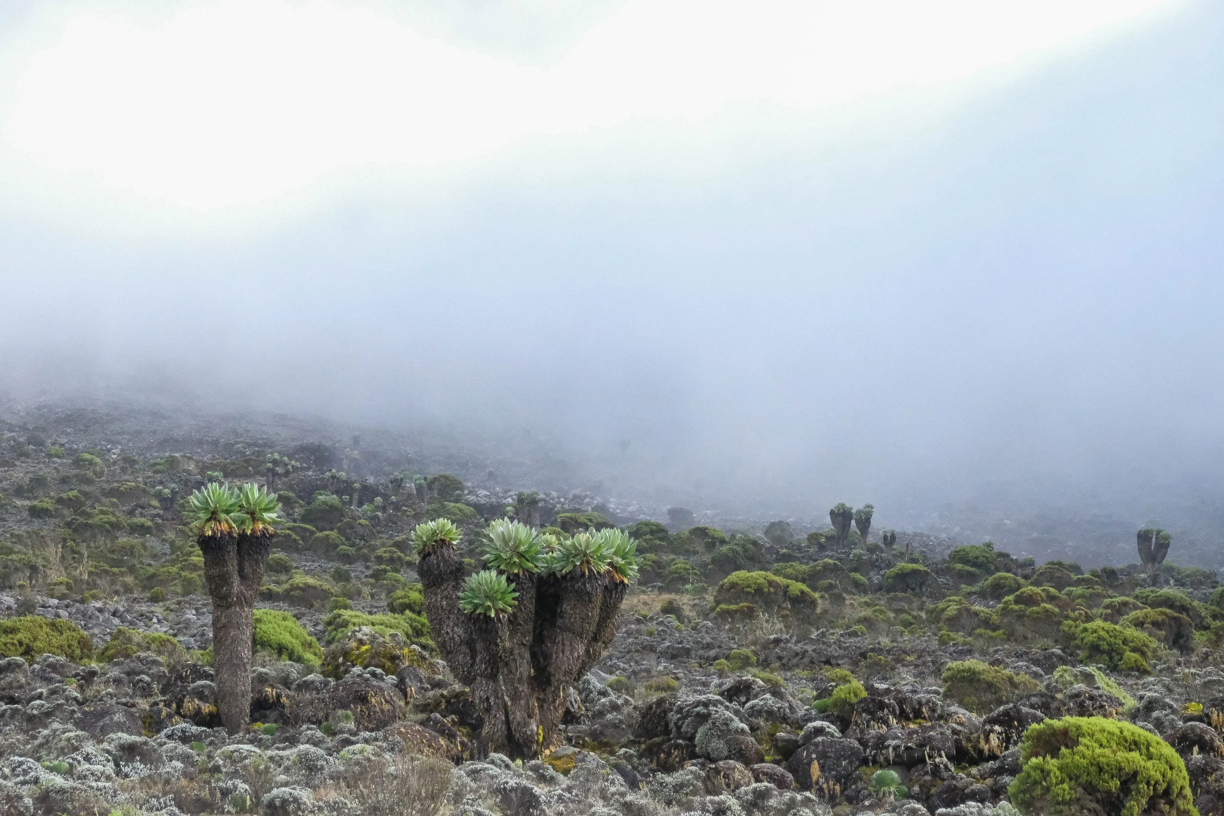
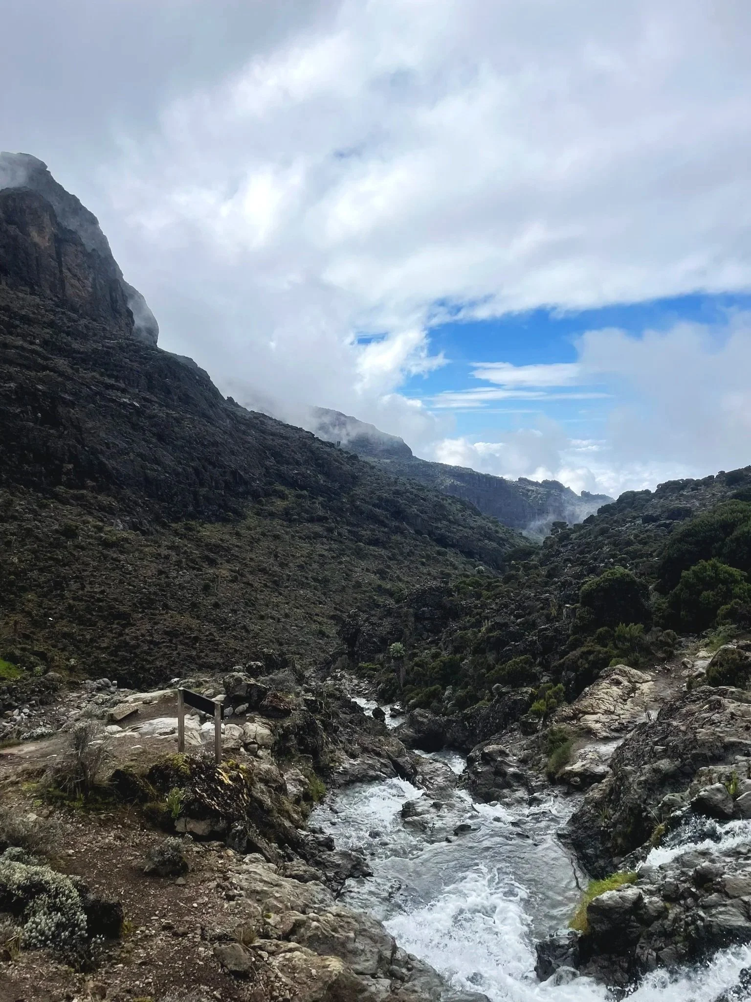
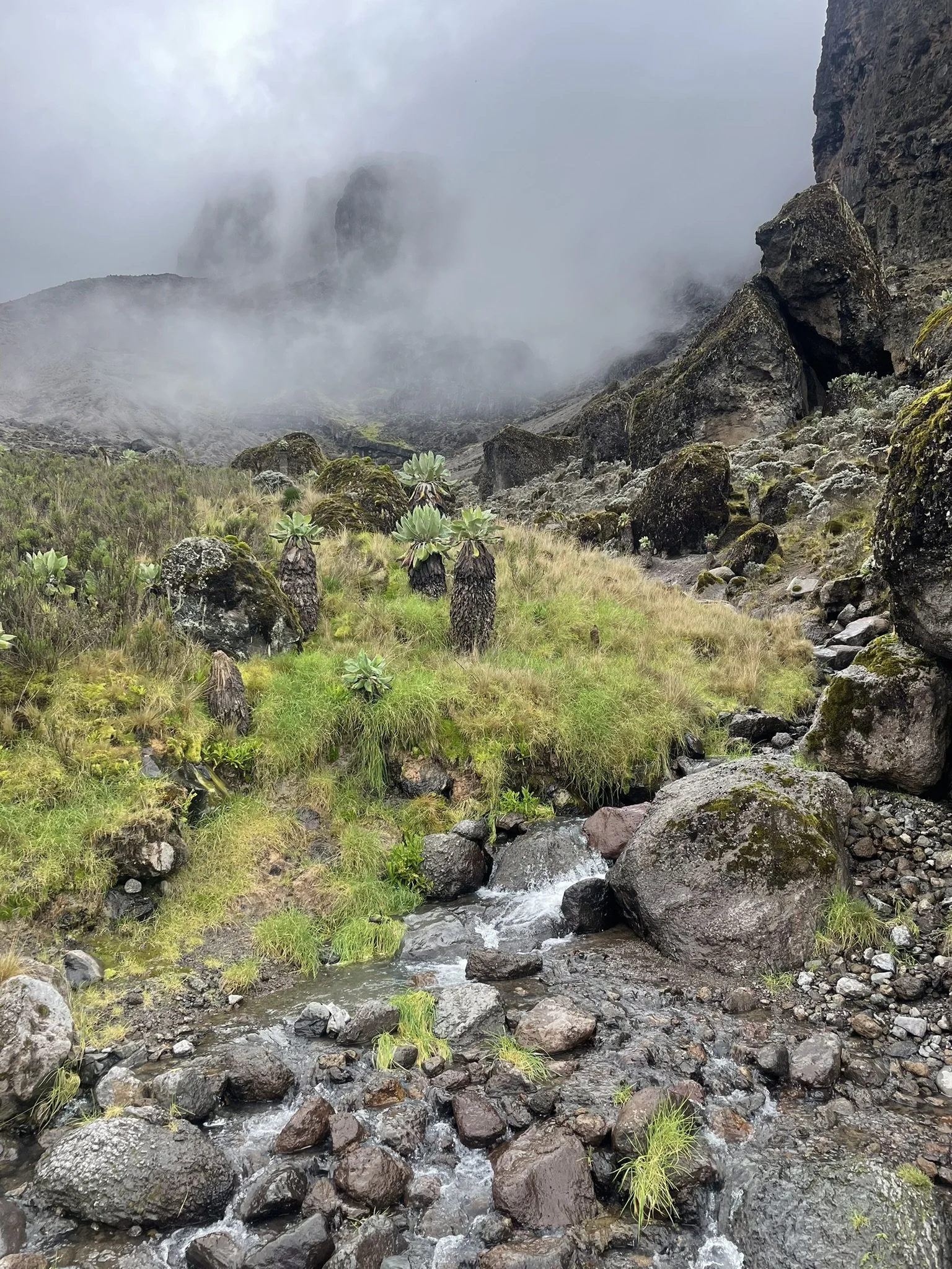
After a lunch at Lava Camp—a misty place that couldn’t decide what temperature it wanted to be—we began our descent to Baranco Camp. The landscape began to green as we followed the path down into an absolutely beautiful valley: ribbons of waterfalls cascading down cliff faces to our left, a river flowing far beneath us, the iconic endemic Dendrosenecio Kilimanjari trees (aka “Dr Seuss trees”) everywhere, and our first view of the imposing Baranco Wall.
After dinner, tea, spoonfuls of Nutella that suddenly tasted like the world’s best snack (altitude does strange things to your taste buds and appetite) and our evening briefing, we all went to bed early: tired yet contented from another full day.
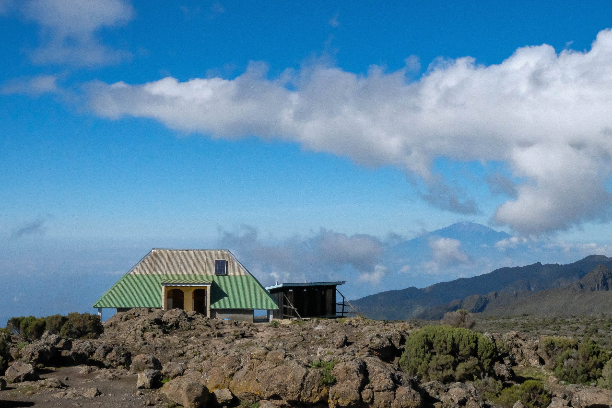


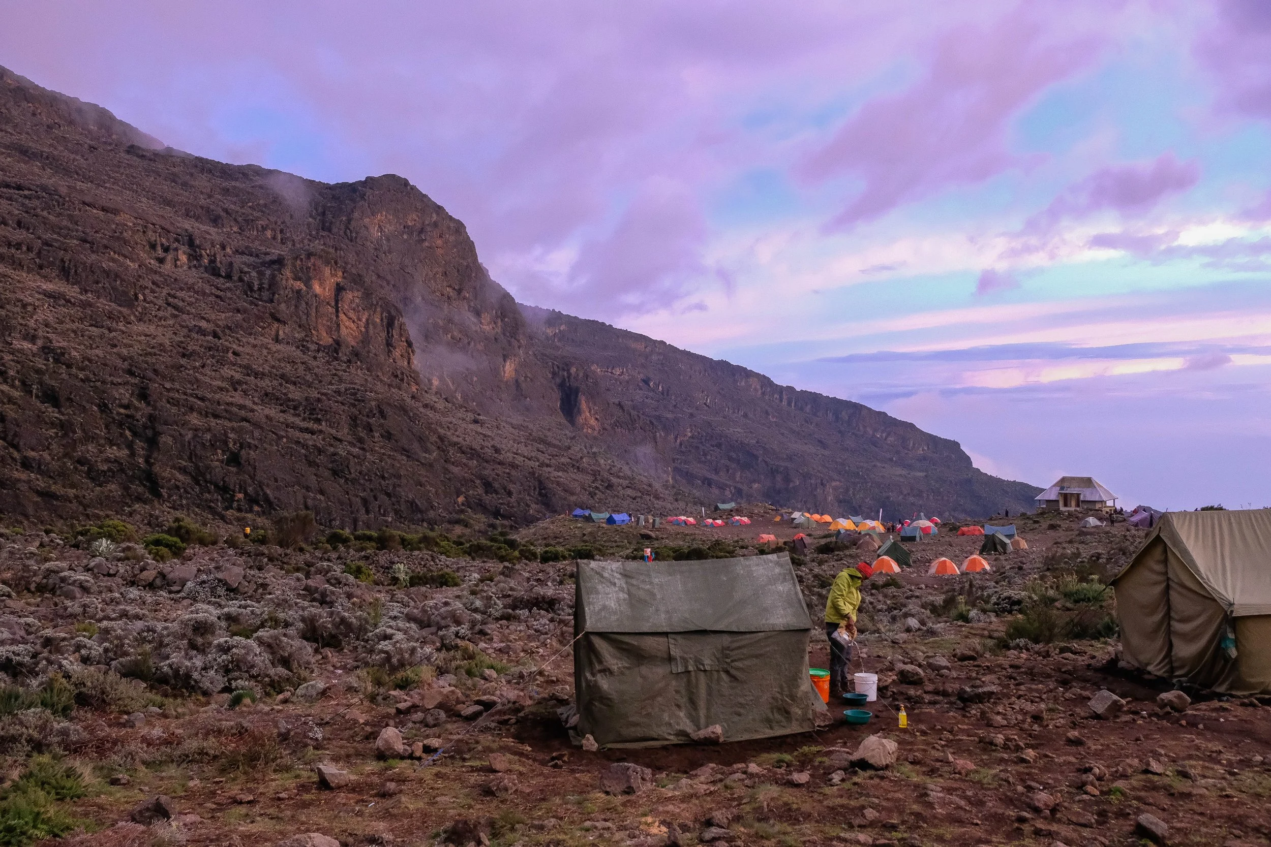
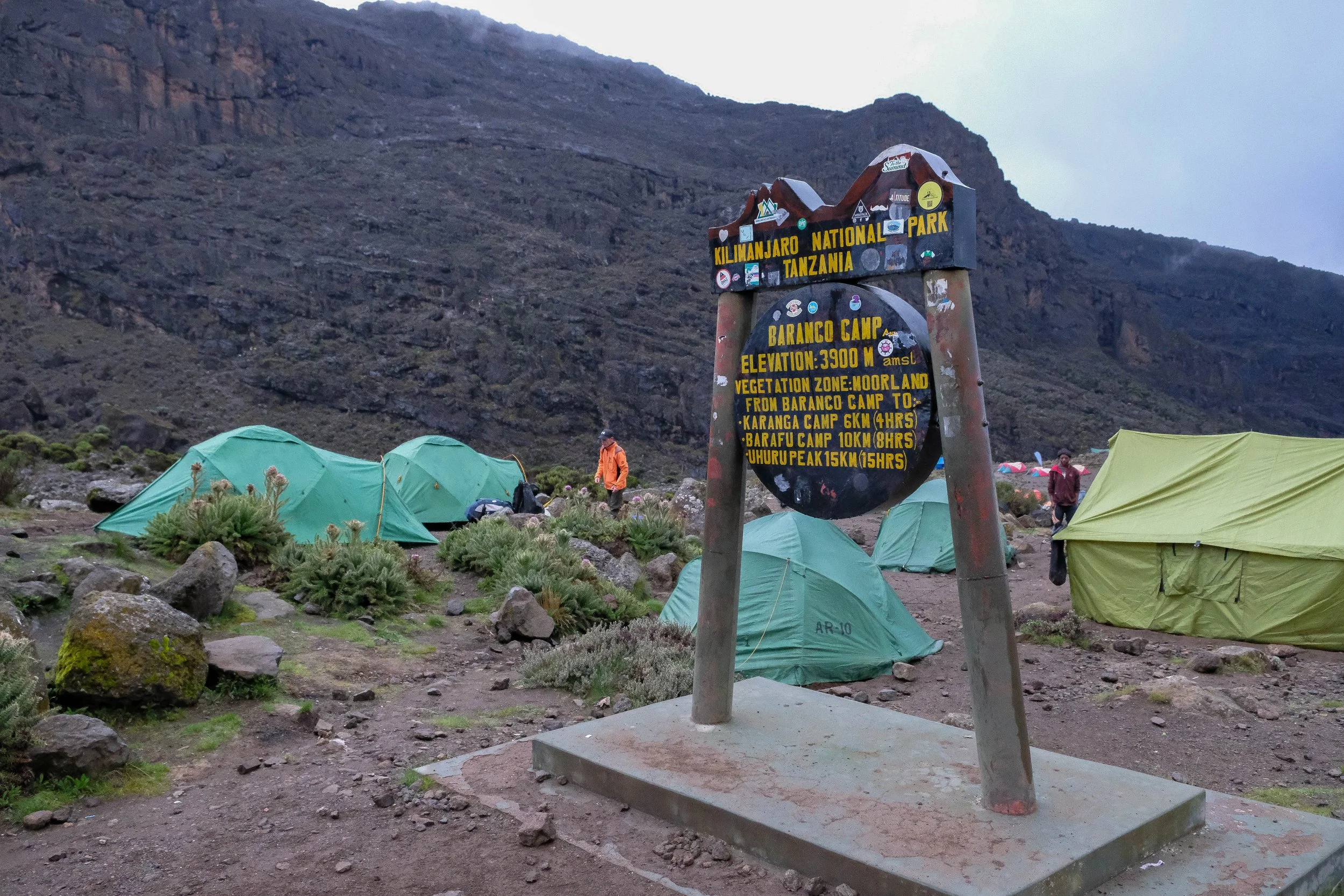
Day 4: Baranco Camp to Karanga Camp | 3.5 miles | 13,070 ft - 13,225 ft
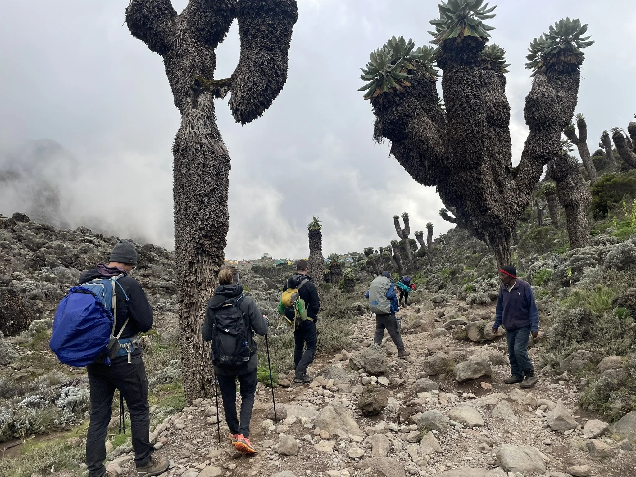
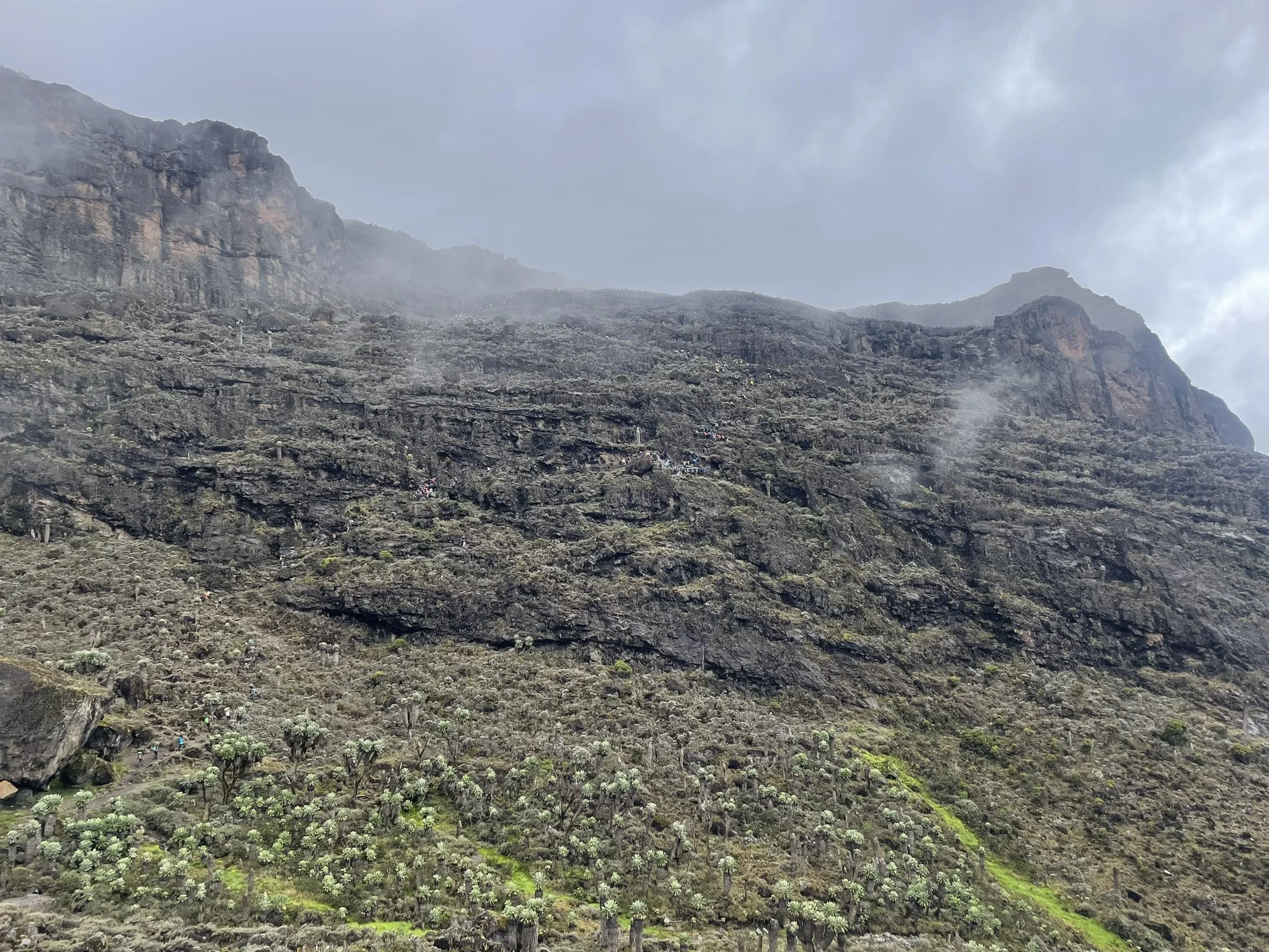
Baranco Camp was the largest we’d stayed at by far; hundreds of multicolored tents dotted the hills overlooking a river. I rose early and noticed a few people had already crossed the river and begun their ascent of the iconic Baranco Wall — which looks like a sheer rock face but in actuality contains a fairly straightforward trail with some scrambling but no technical climbing to ascend the thousand foot wall. I felt excited to get started, but also reflective and a little bittersweet. This was the first morning I’d felt a strong sense of how quickly time was passing. It made me really value every rock beneath my feet and beautiful, misty vista before me: what a gift to be there.
Despite a quick glimpse of Kili while walking around, mist was our destiny for the day. We scrambled our way up the wall, joining a trail of porters, guides, and climbers. We kissed the air next to Kissing Rock, got caught in a mild rain shower, and thus learned that each of our guides had packed umbrellas for just such a moment — a sight we’d never seen on a mountain in North America. Genius.
After reaching the top, we descended into another valley, crossed the Karanga River, and had one last steep climb to reach Karanga Camp.
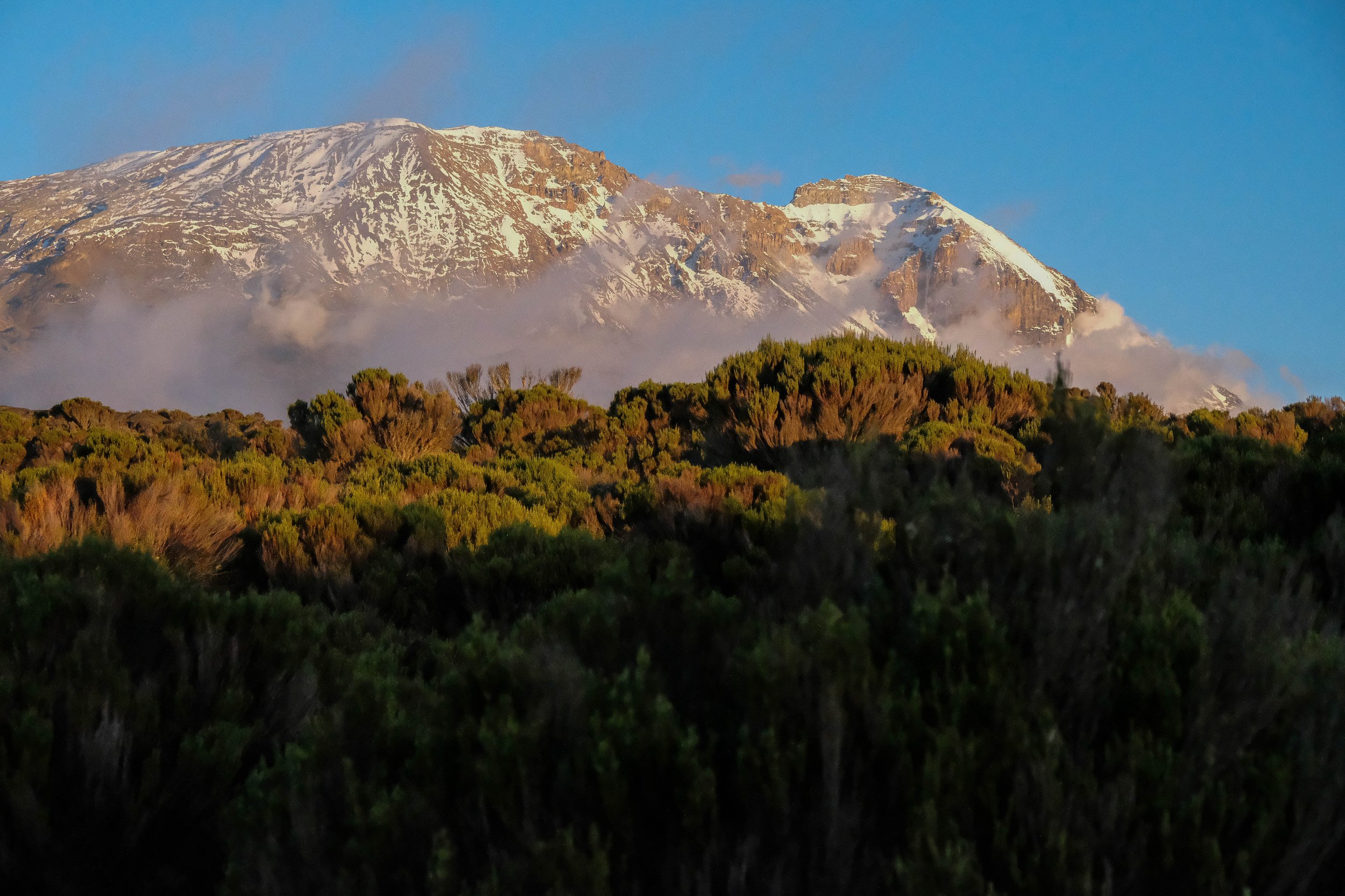
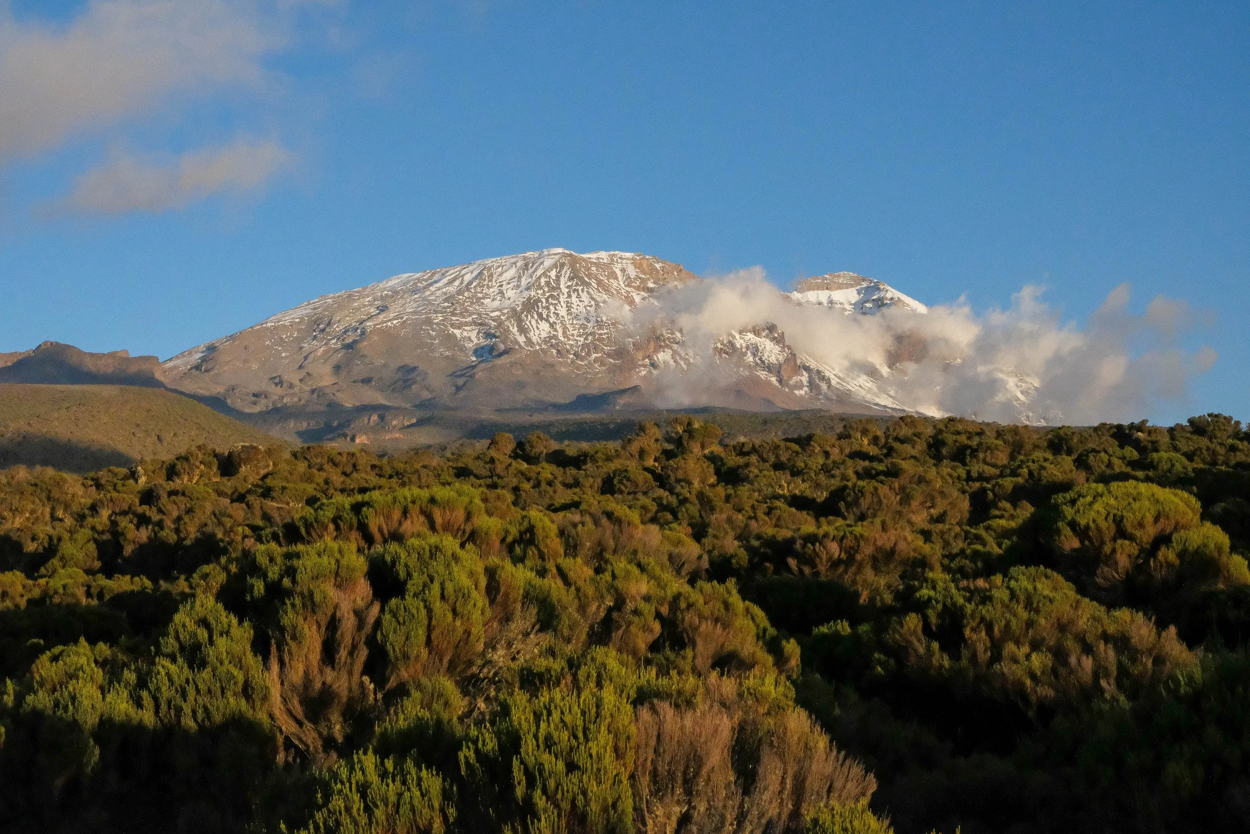
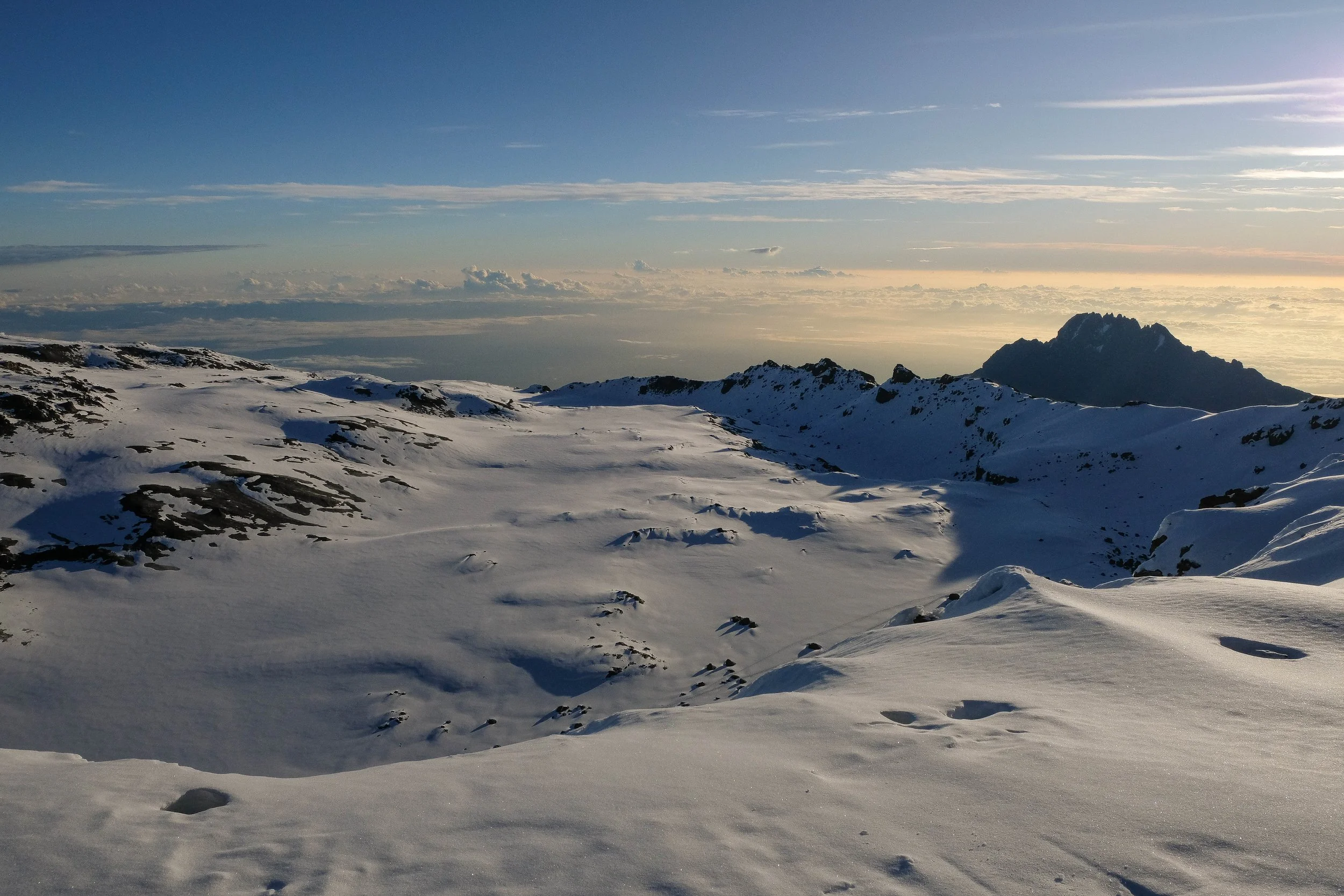
The afternoon was the most relaxing one we’d had thus far. We napped for a while, then a little before dinner I left the tent and went for a walk away from the camp. The day’s mist had finally rolled back and you could see Kilimanjaro looming closer than ever. It was quiet, perfectly clear, and cloudless all the way to the summit, revealing a massive glacier perched near the top. I sat on a rock and stared at it, completely enamored. I couldn’t believe I was there.
Suddenly, a series of cracks and booms echoed through the air. At first I thought it was thunder or a rockfall, but soon realized: it was the glacier ice cracking.
When I think of Karanga Camp, this is what I see: Little me, sitting there alone, the moon rising in the dusty blue sky, wonderstruck as I listen to the ancient ice cracking. 🌙
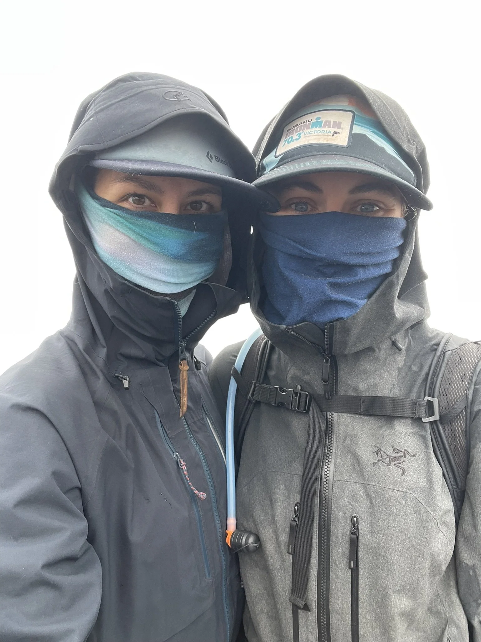
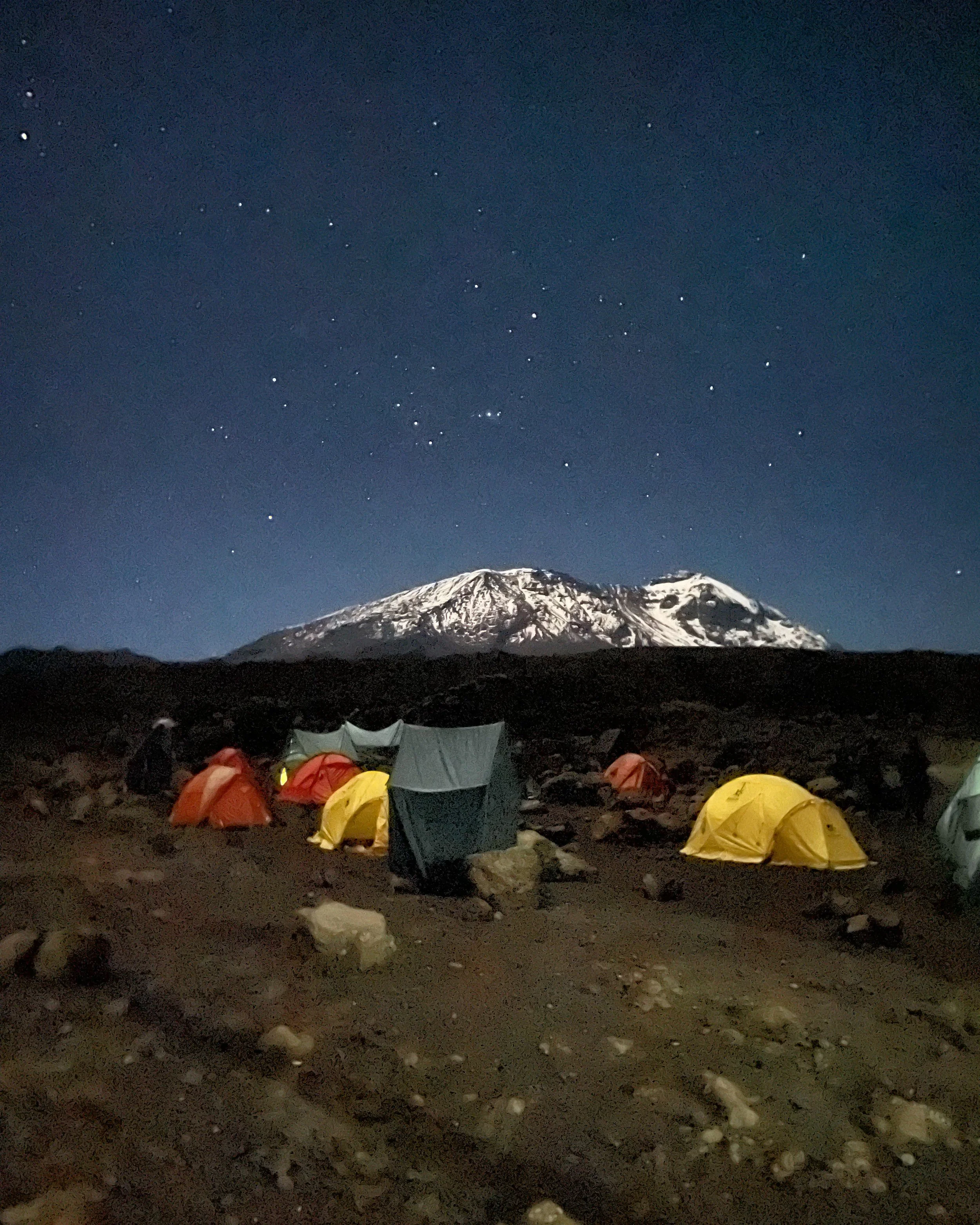
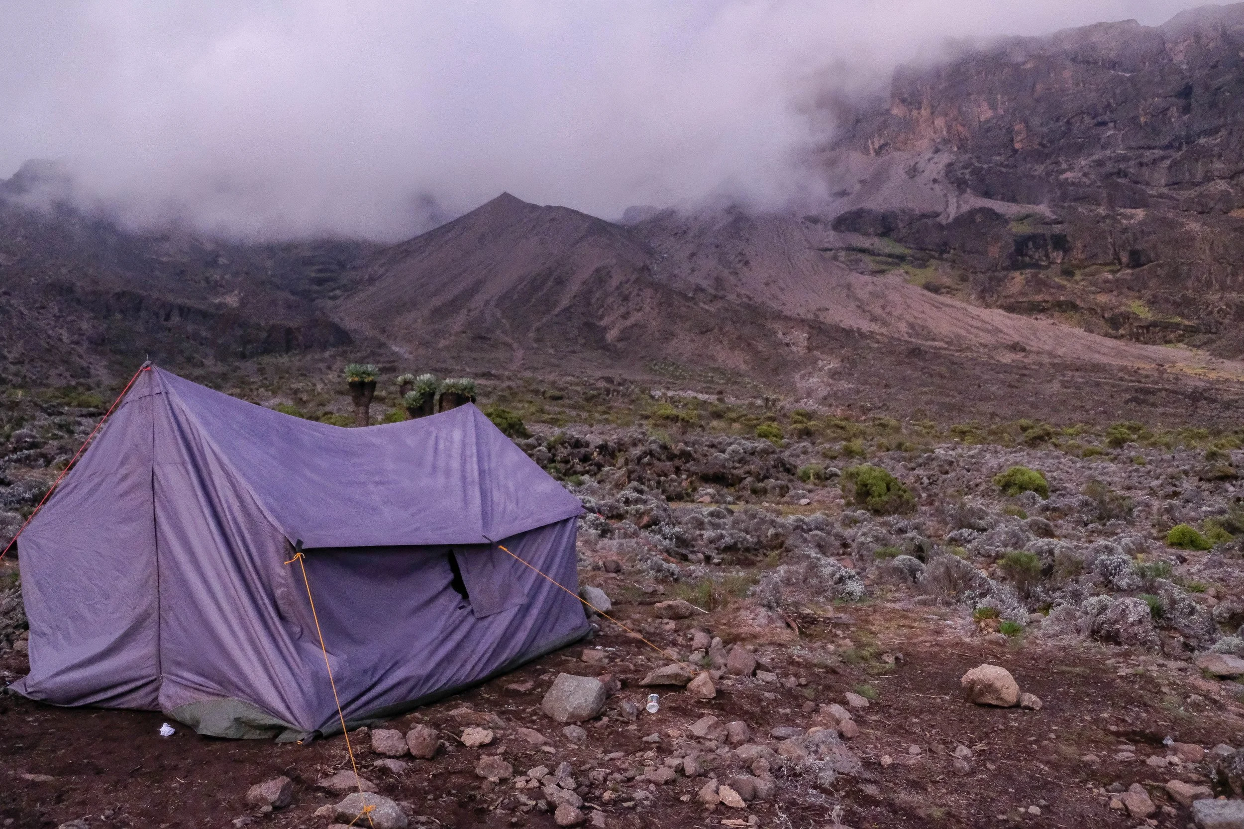
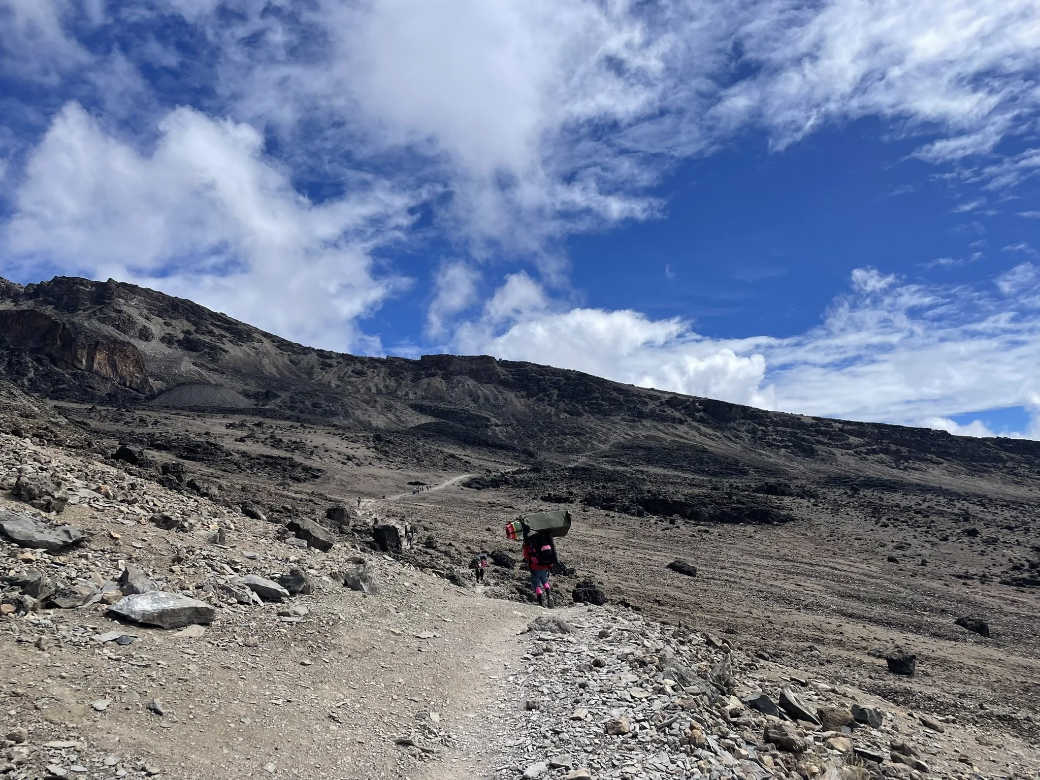
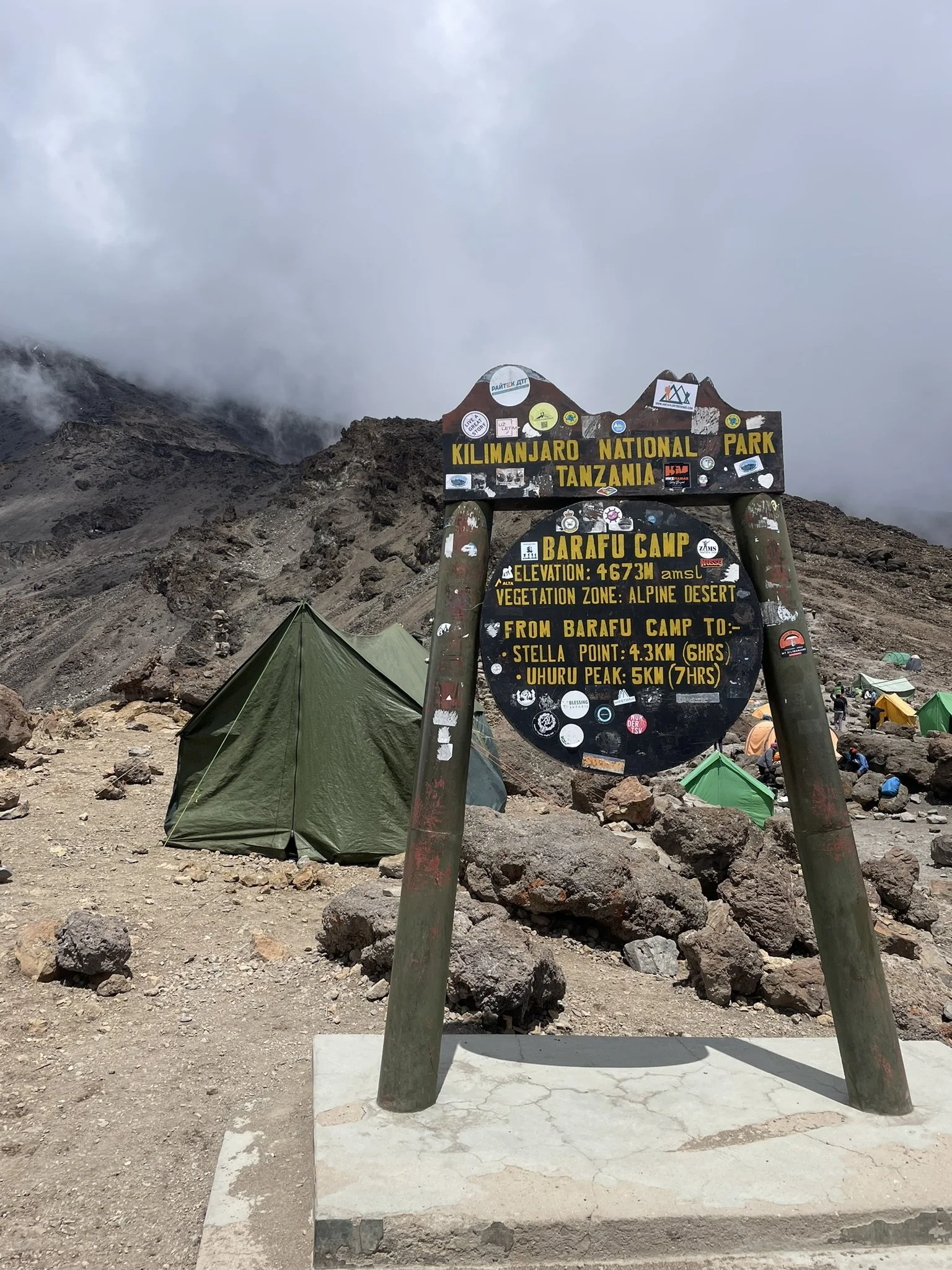
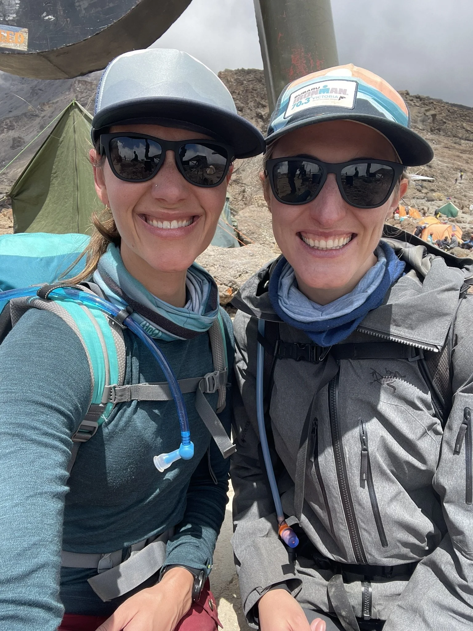
Day 5: Karanga Camp to Barafu Camp | 2.8 miles | 13,225 ft - 15,360 ft
We tackled a short, steep hike from Karanga Camp to Barafu Camp—our base camp for the push to the summit. It was a bluebird day with alpine desert views that reminded us of Colorado’s 14ers. Rock, shale, and scree made up the trail. I remember light conversations with each other and growing anticipation as Kili loomed high above us on the left. The fact that we were approaching base camp made everything feel much closer and more immediate. We knew we’d have an unusual afternoon of trying to sleep early to prepare for our wake-up call at midnight.
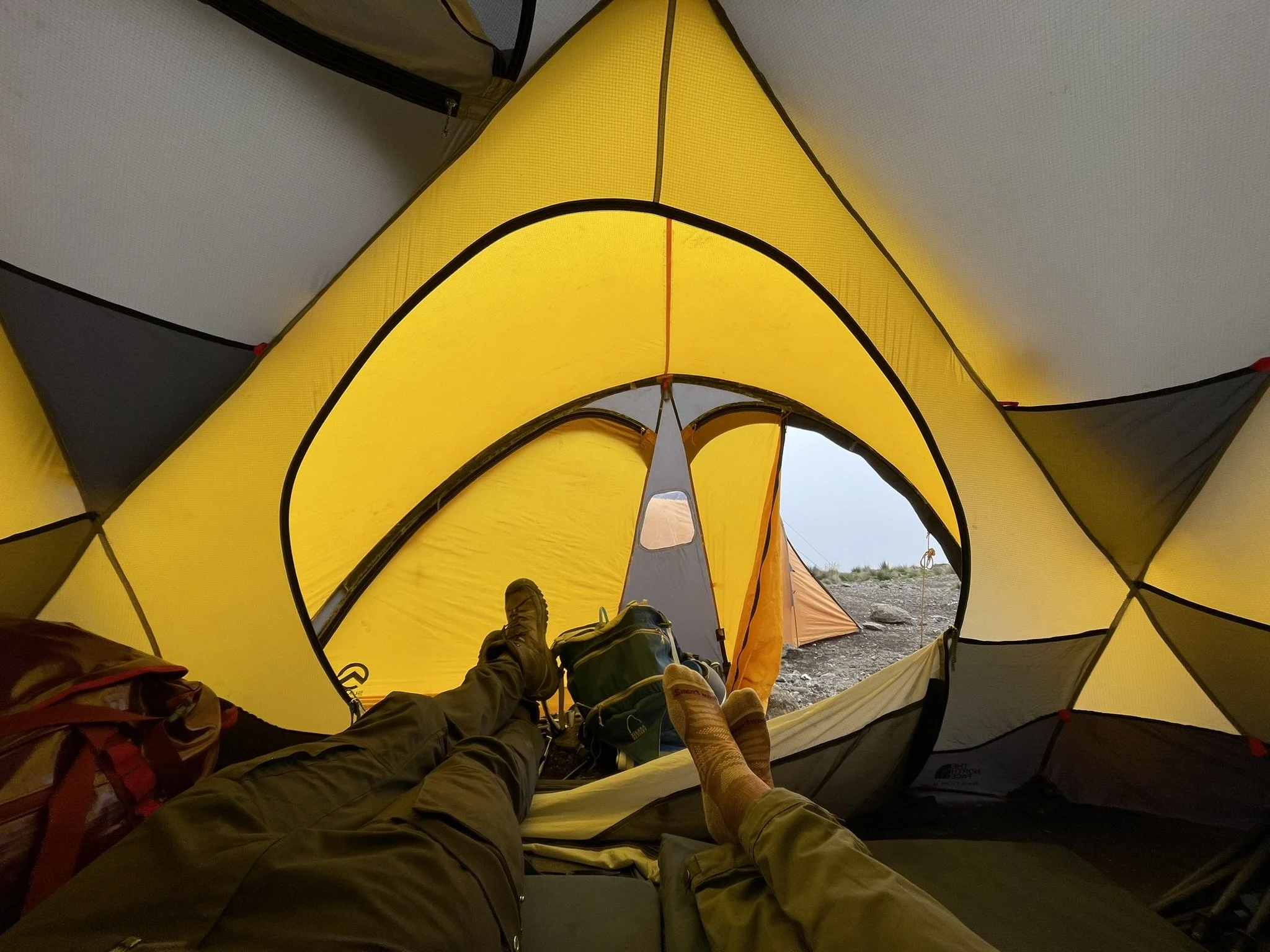
The camp was buzzing with energy when we arrived. Everyone there was either returning from their summit attempt or arriving to make the attempt the next morning, as we were. We picked our way across the uneven ground, trying not to fall on patches of sliding shale, until we finally reached our site. Our twin yellow North Face tents were neatly positioned side by side and we dropped our bags inside before lunch and our summit morning briefing with our guides.
“Pole pole” and “take one step and then another and then another” are the main instructions that I recall. They reviewed the clothing layers we should wear and bring with us and reminded us to rest as much as we could before midnight.
We rested for about three hours before a quick dinner and back to bed. I slept, but not deeply. It wasn’t long before I heard Eresto outside our tent—12am on the dot:
“Gooood morning, brother and sister. It’s time to climb, Jamesy and Emily.”
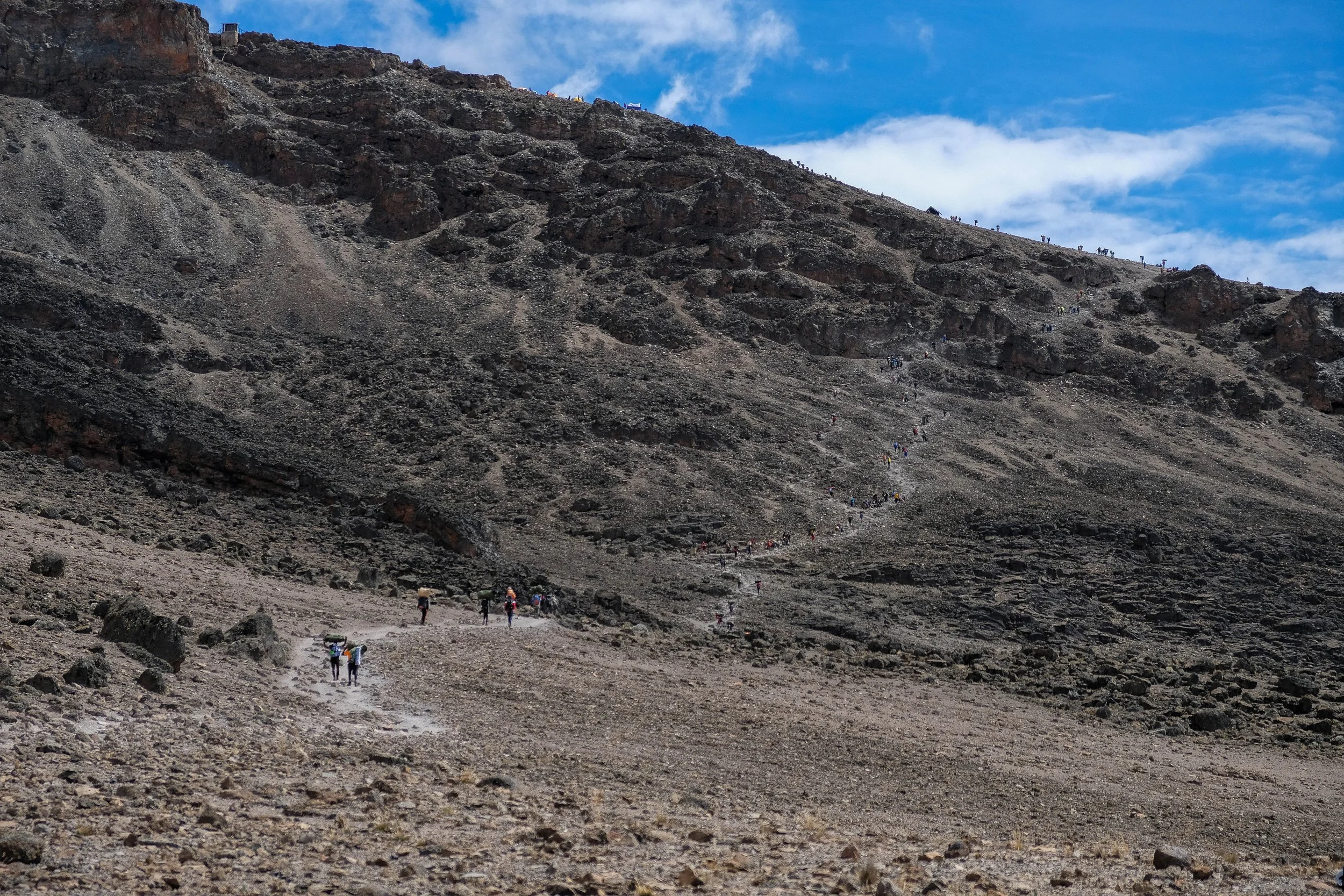
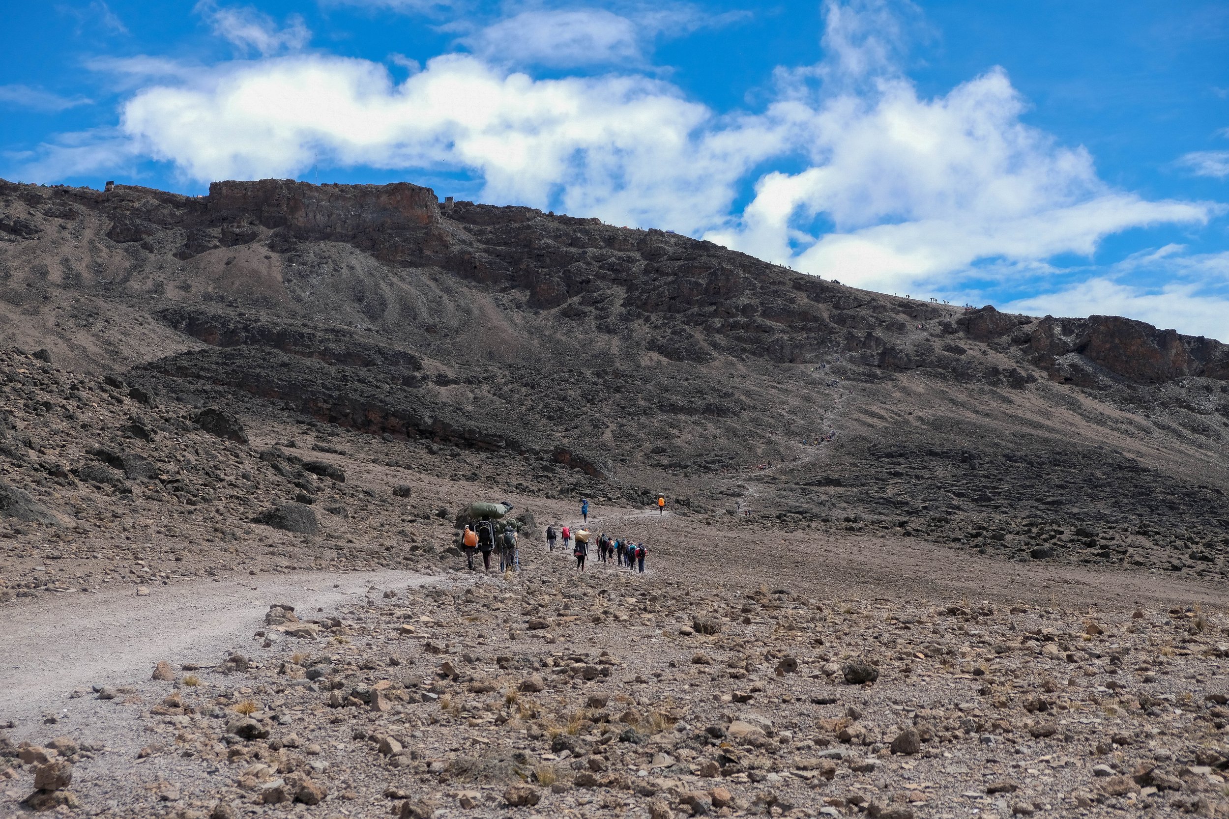
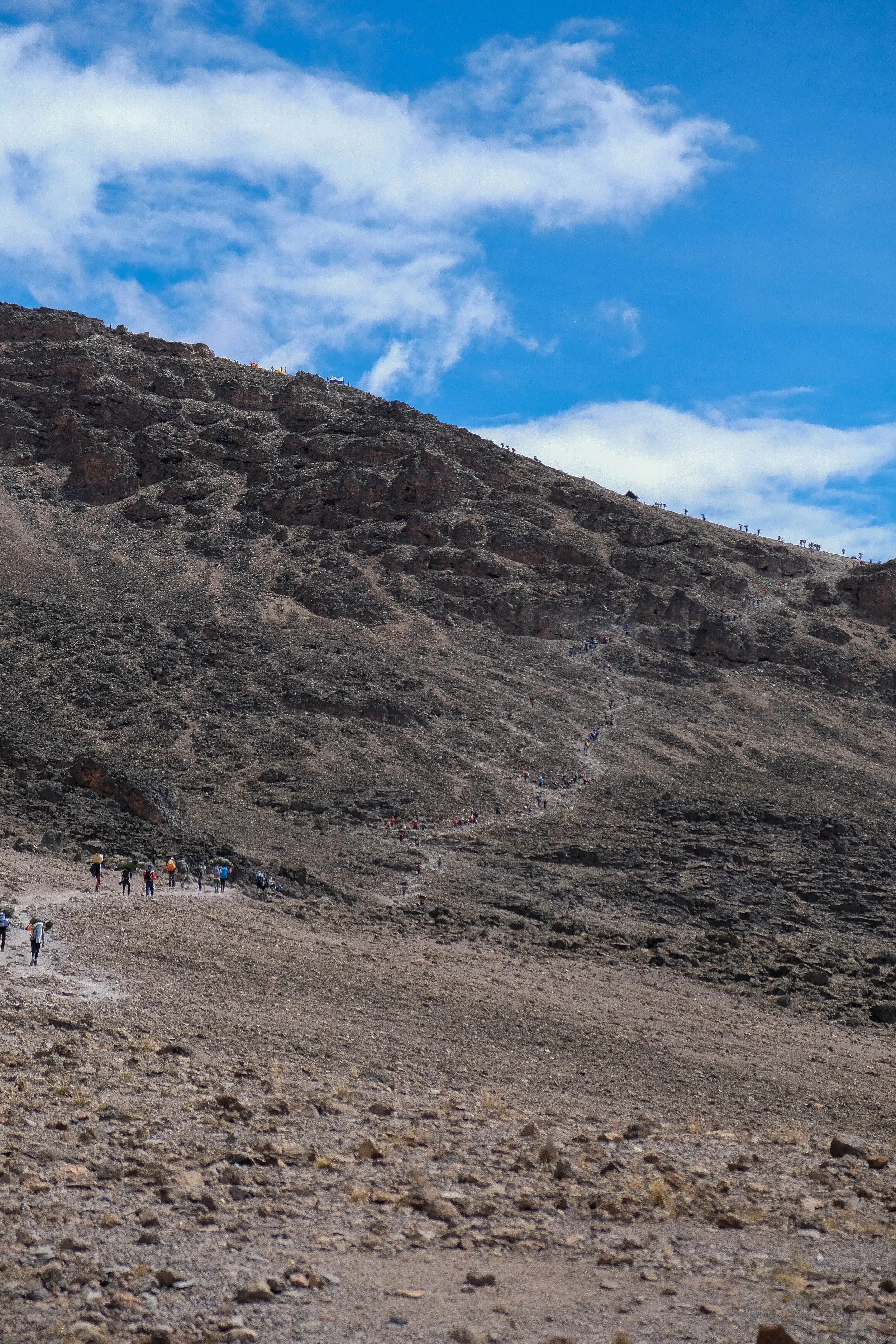
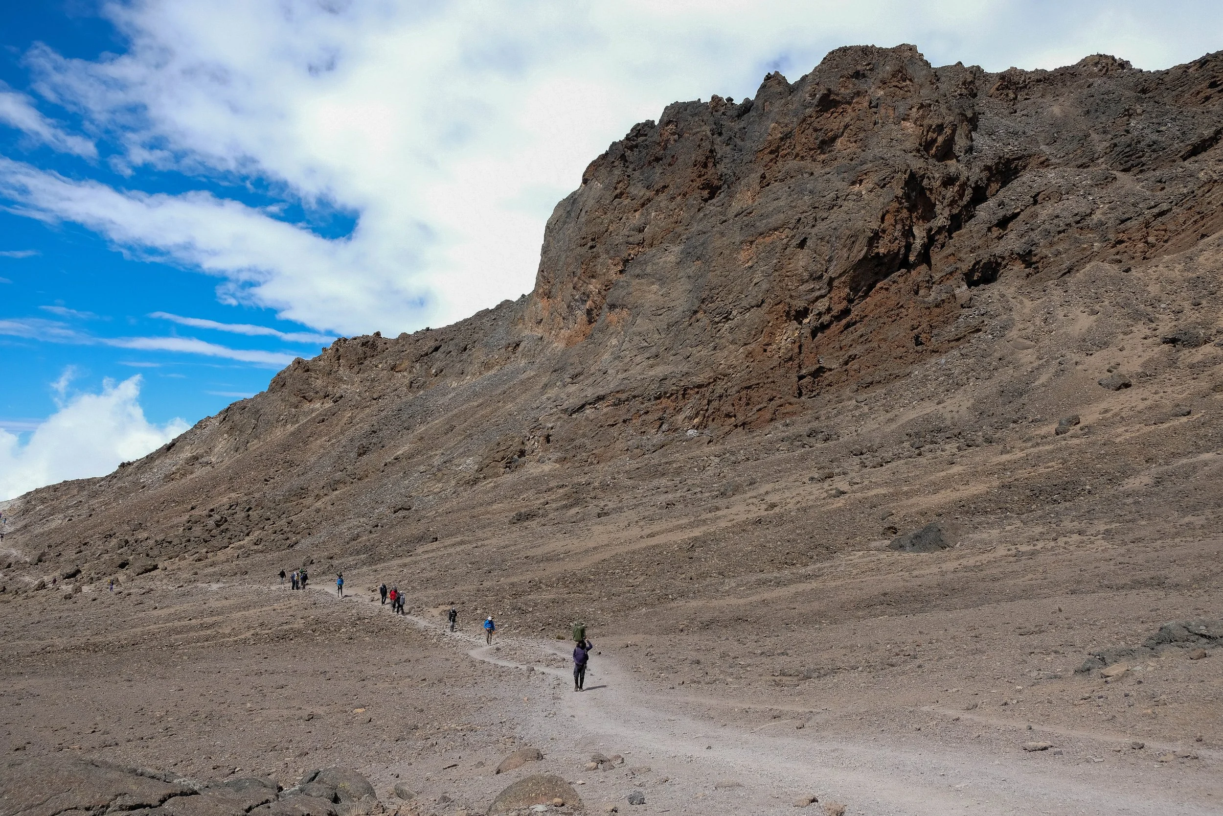
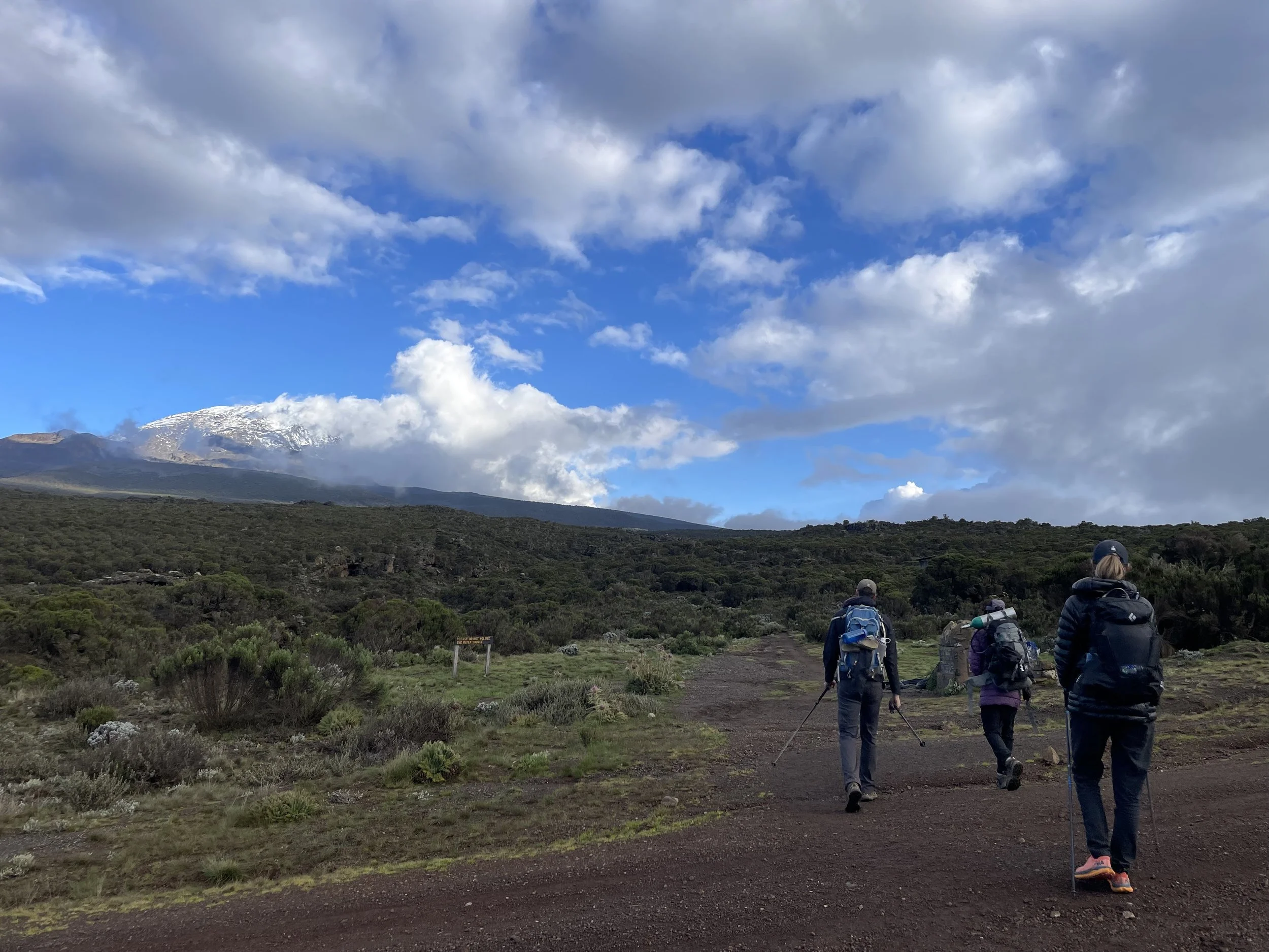
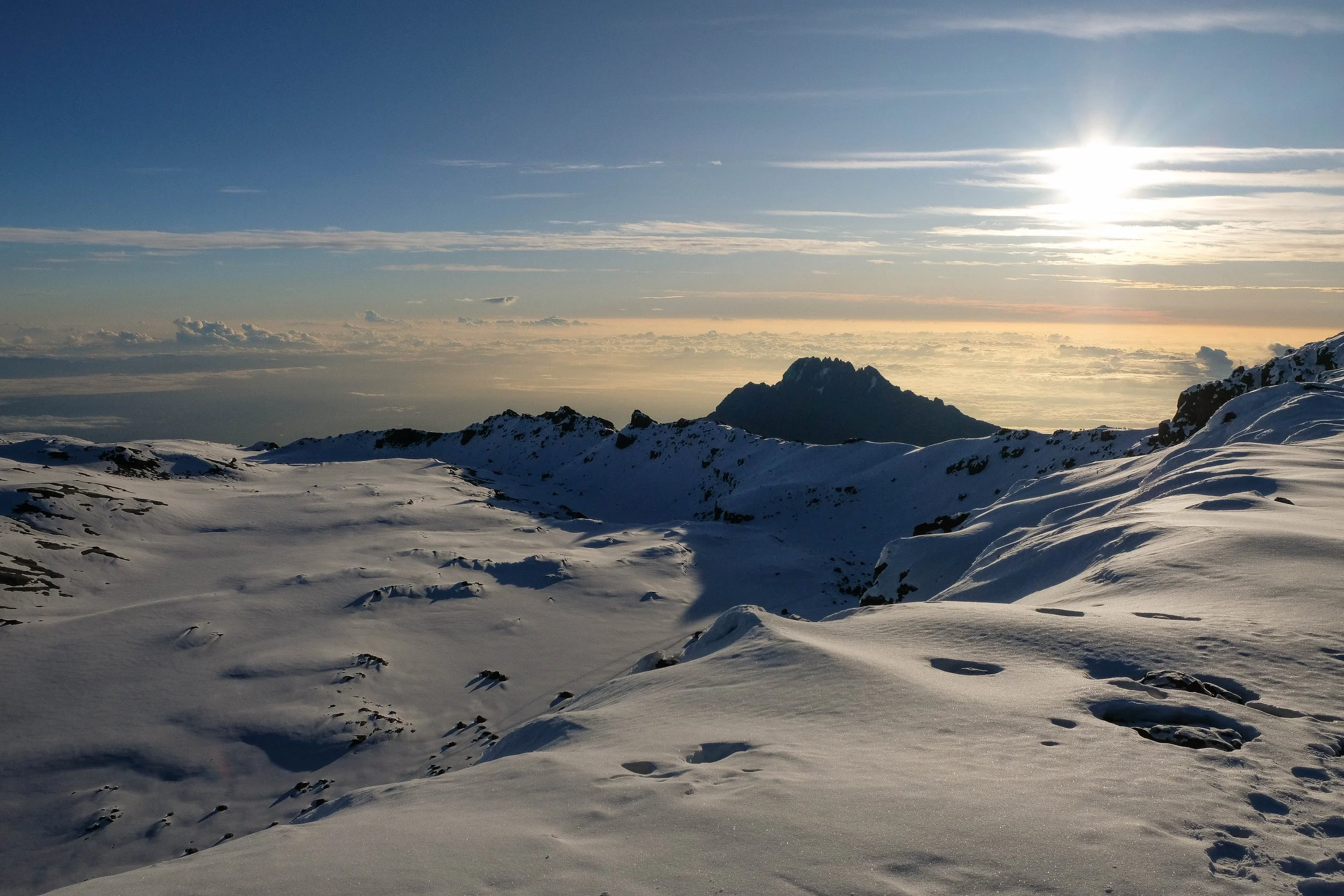
Day 6: Barafu Camp to Uhuru Peak to Mweka Camp | 11.2 miles | 15,360 ft - 19,362 ft - 10,170 ft
Part 1
We gathered for a snack of popcorn and peanuts before performing one last gear check, flicking on our headlamps, and beginning the ascent a little after 1am. We fell into a comfortable rhythm, our pace slow but steady. Every hour, we stopped for five minutes—a quick chance to eat half a Larabar, take some sips of water, suck on an electrolyte chew.
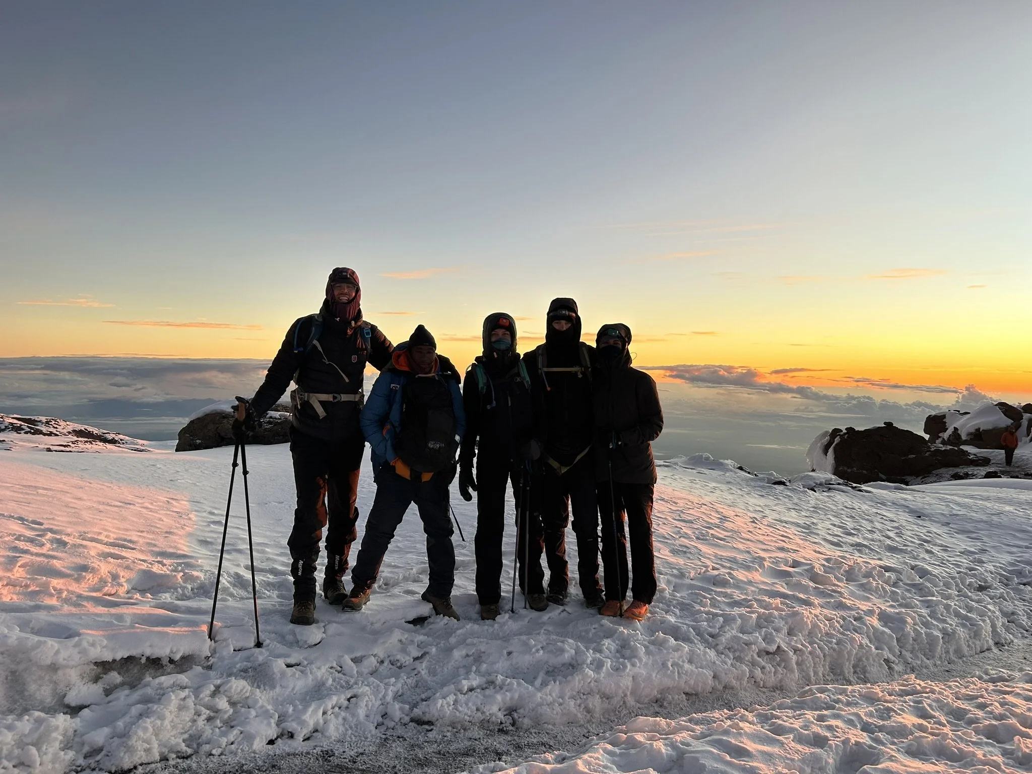
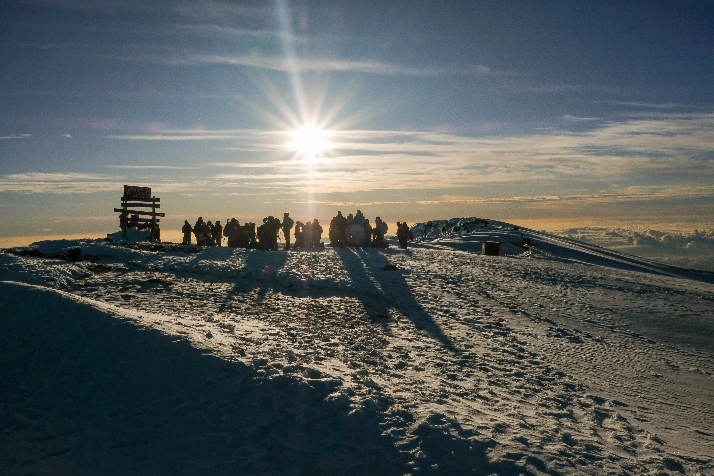
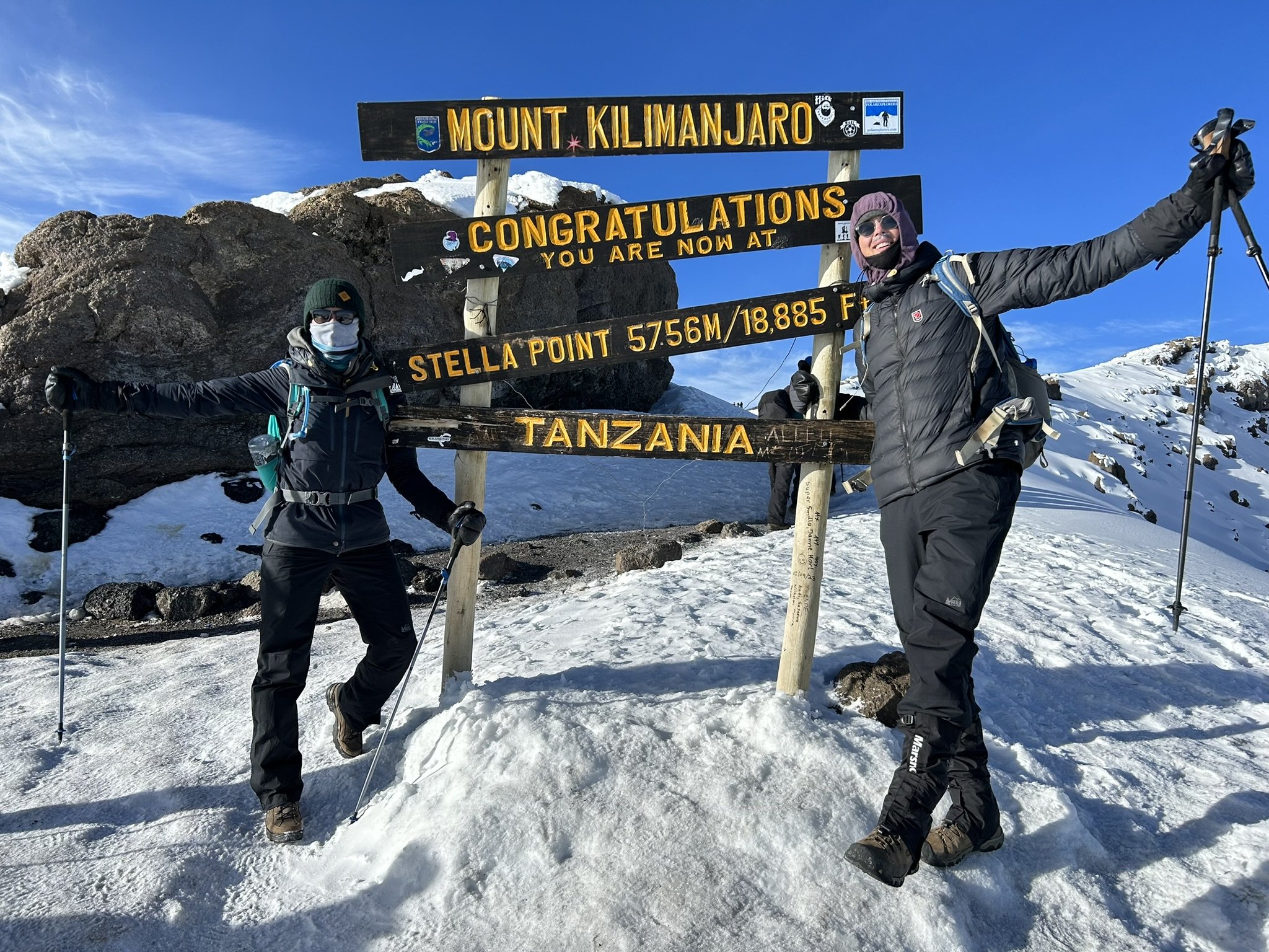
It went faster than I expected, this meditative trek up the final stretch of mountain. Suddenly it was 3am, then 5am, then a sliver of crimson light began to emerge on the curved horizon below us. Just before 6am, we pushed up one last steep section and suddenly emerged over the ledge of the crater: Stella Point, the beginning of the end.
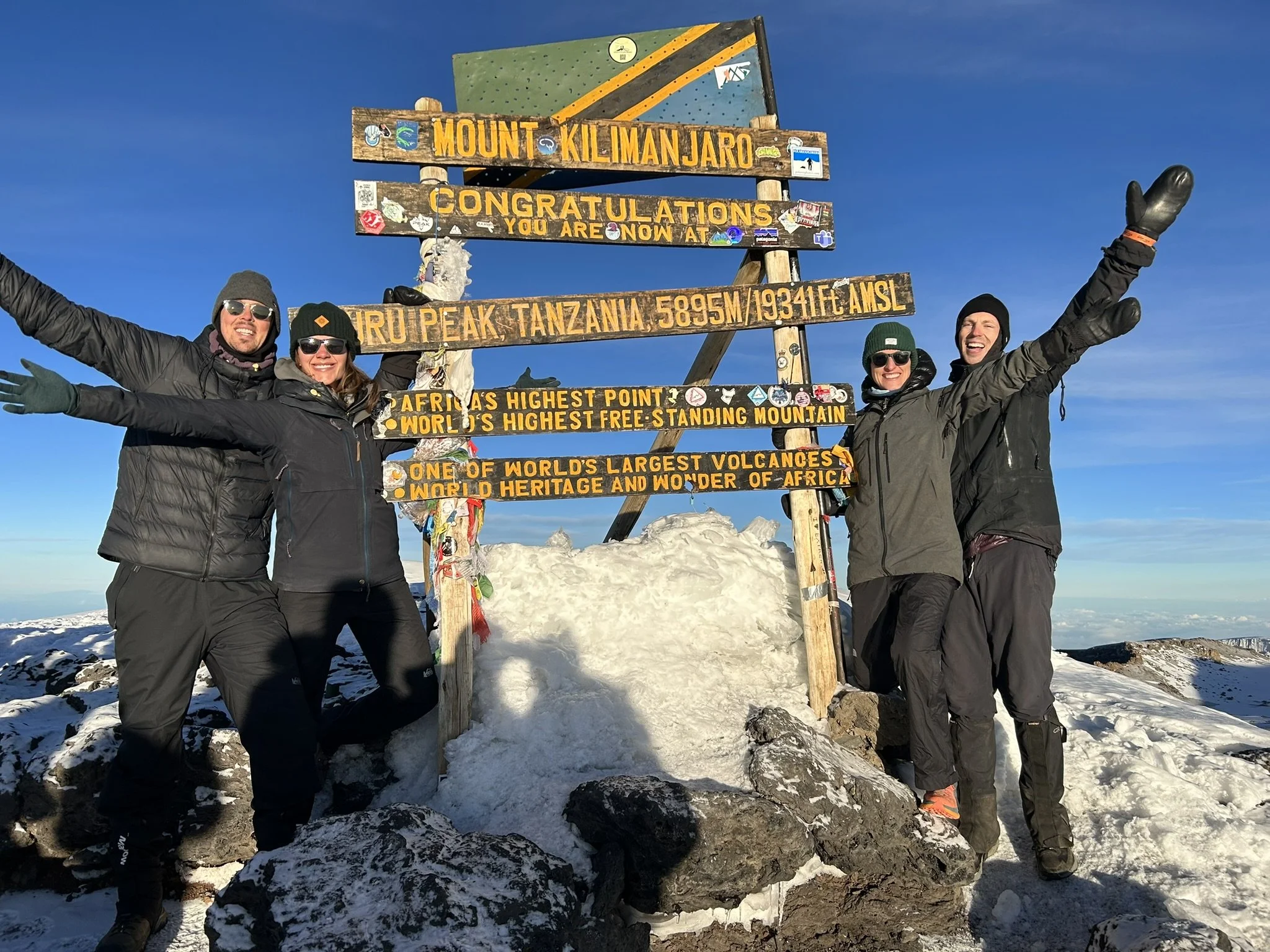
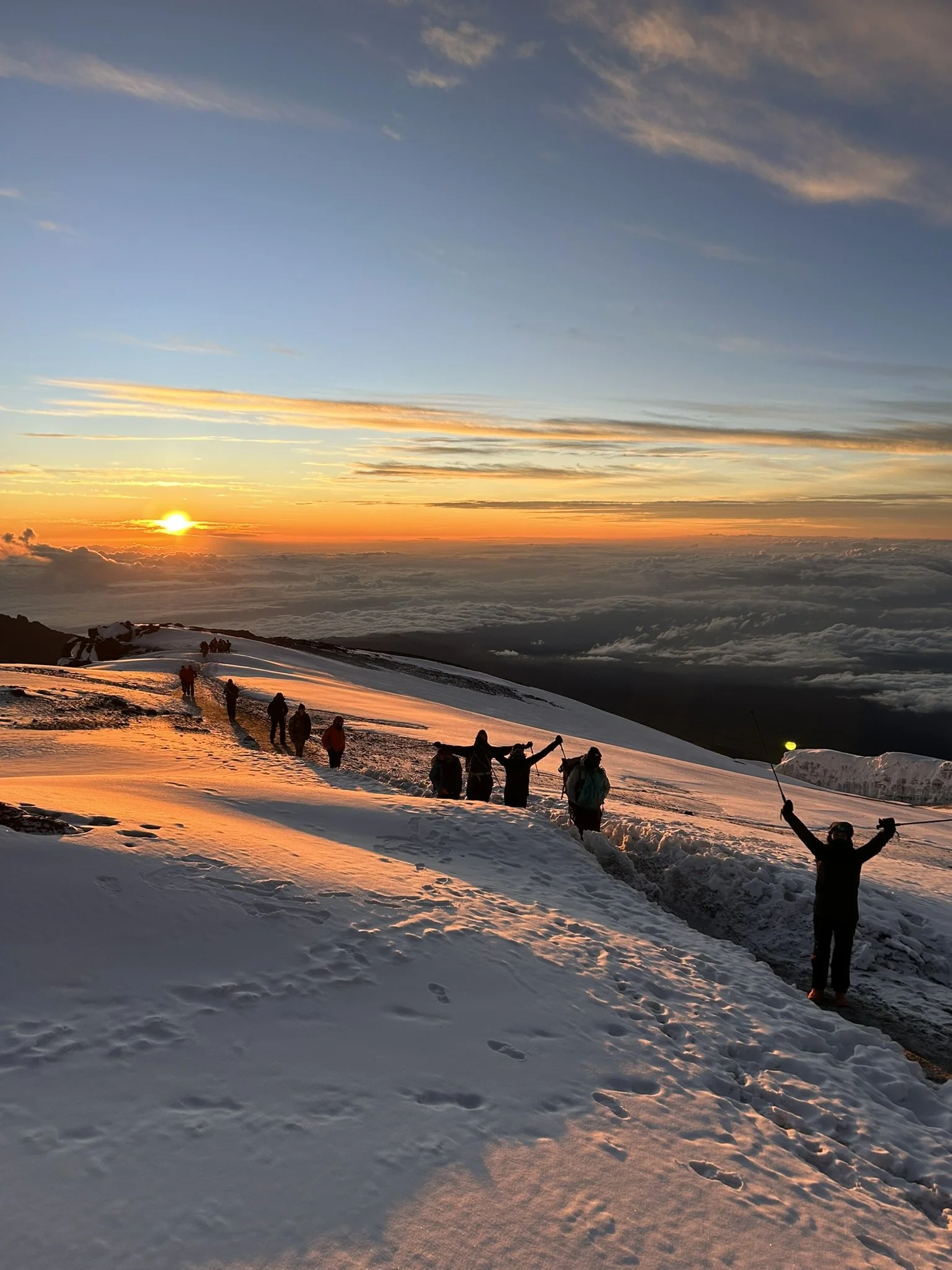
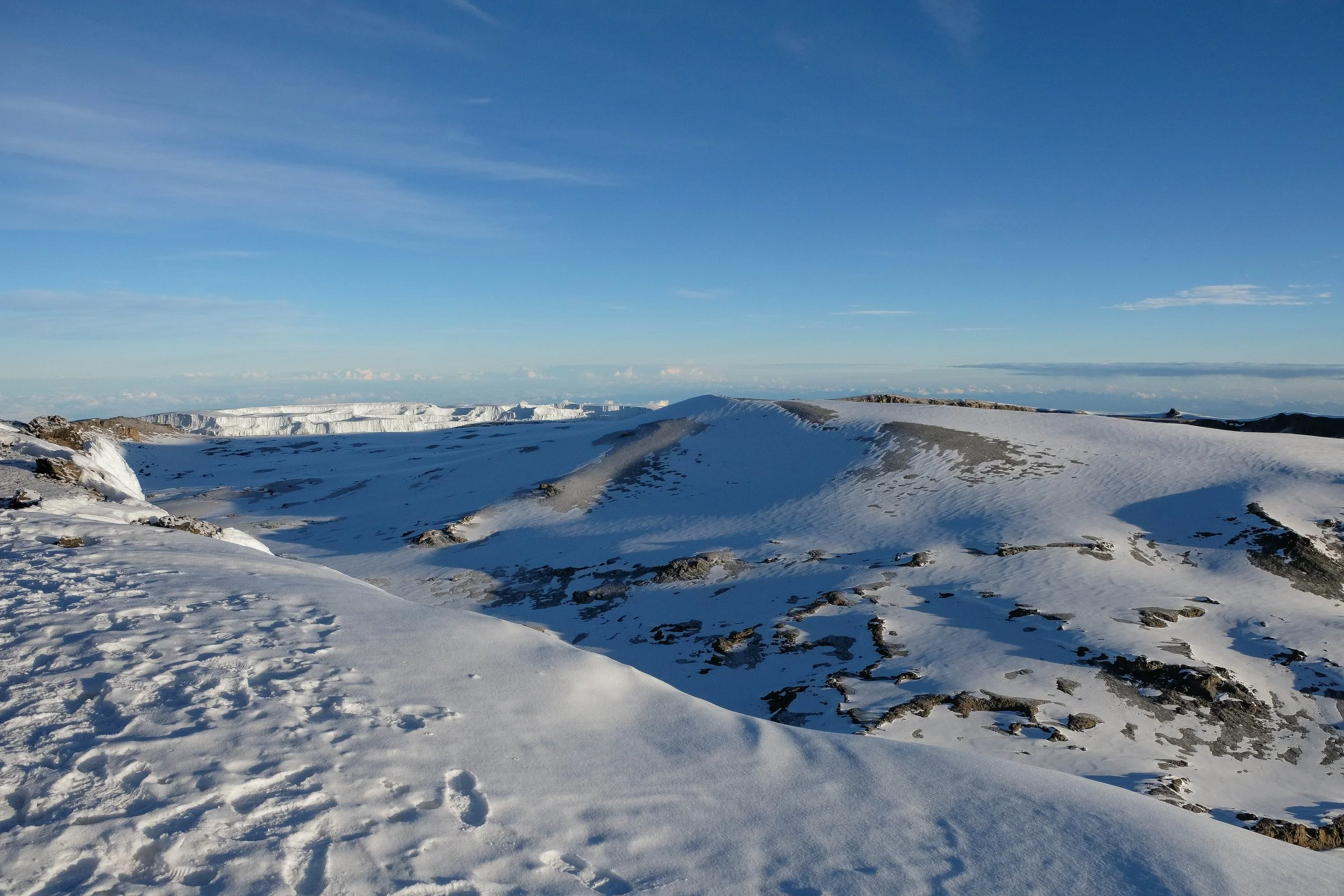
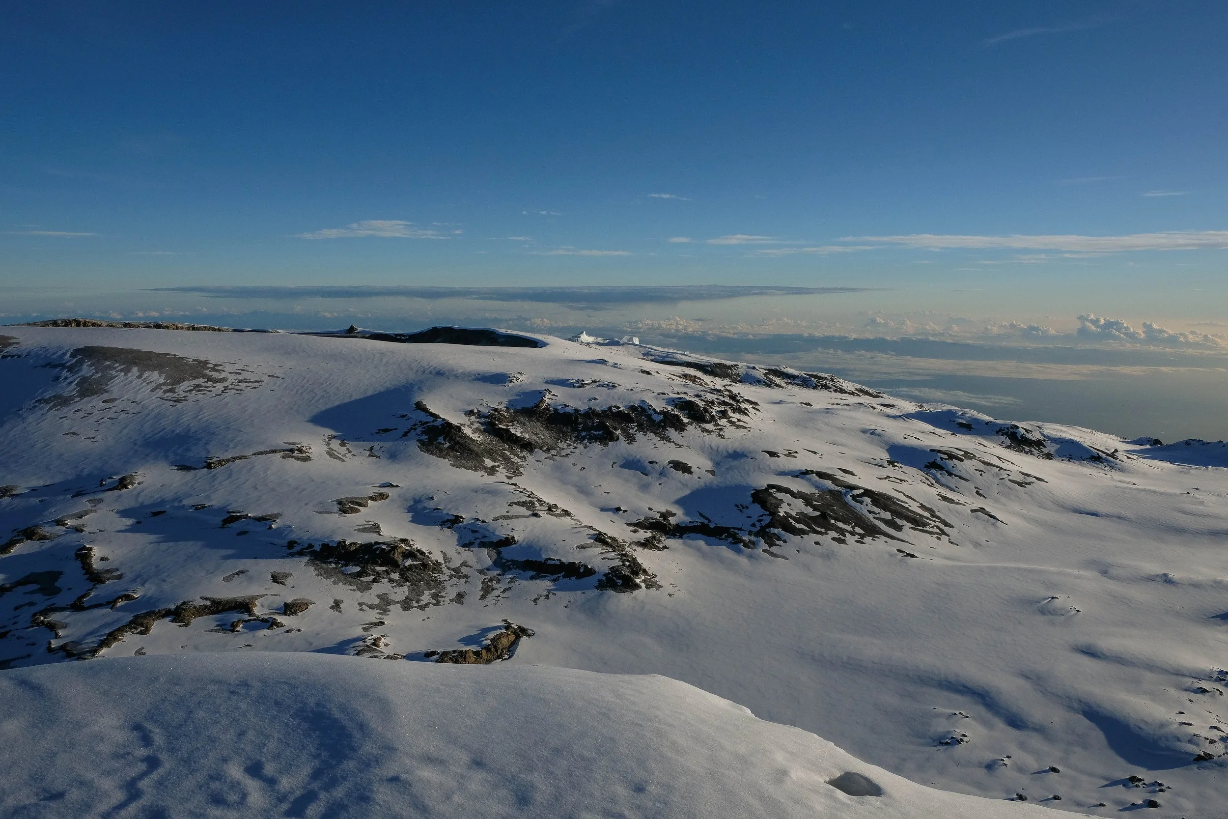
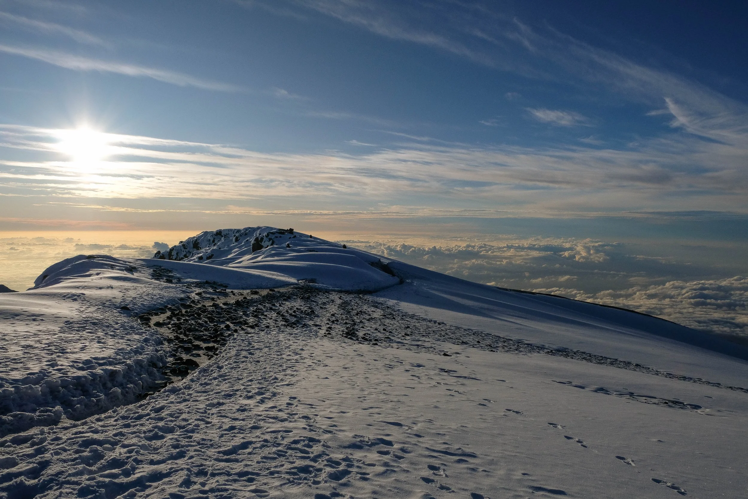
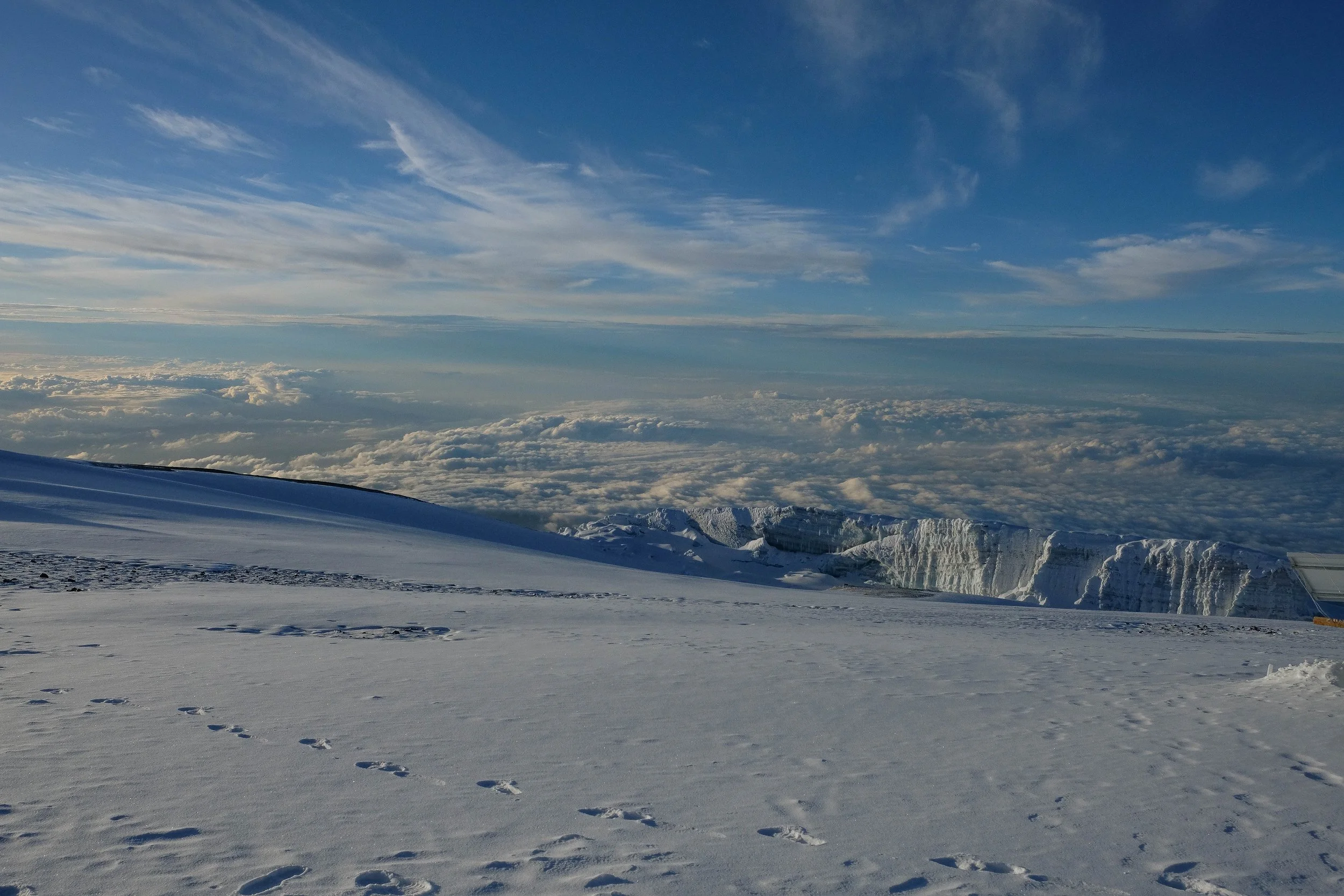
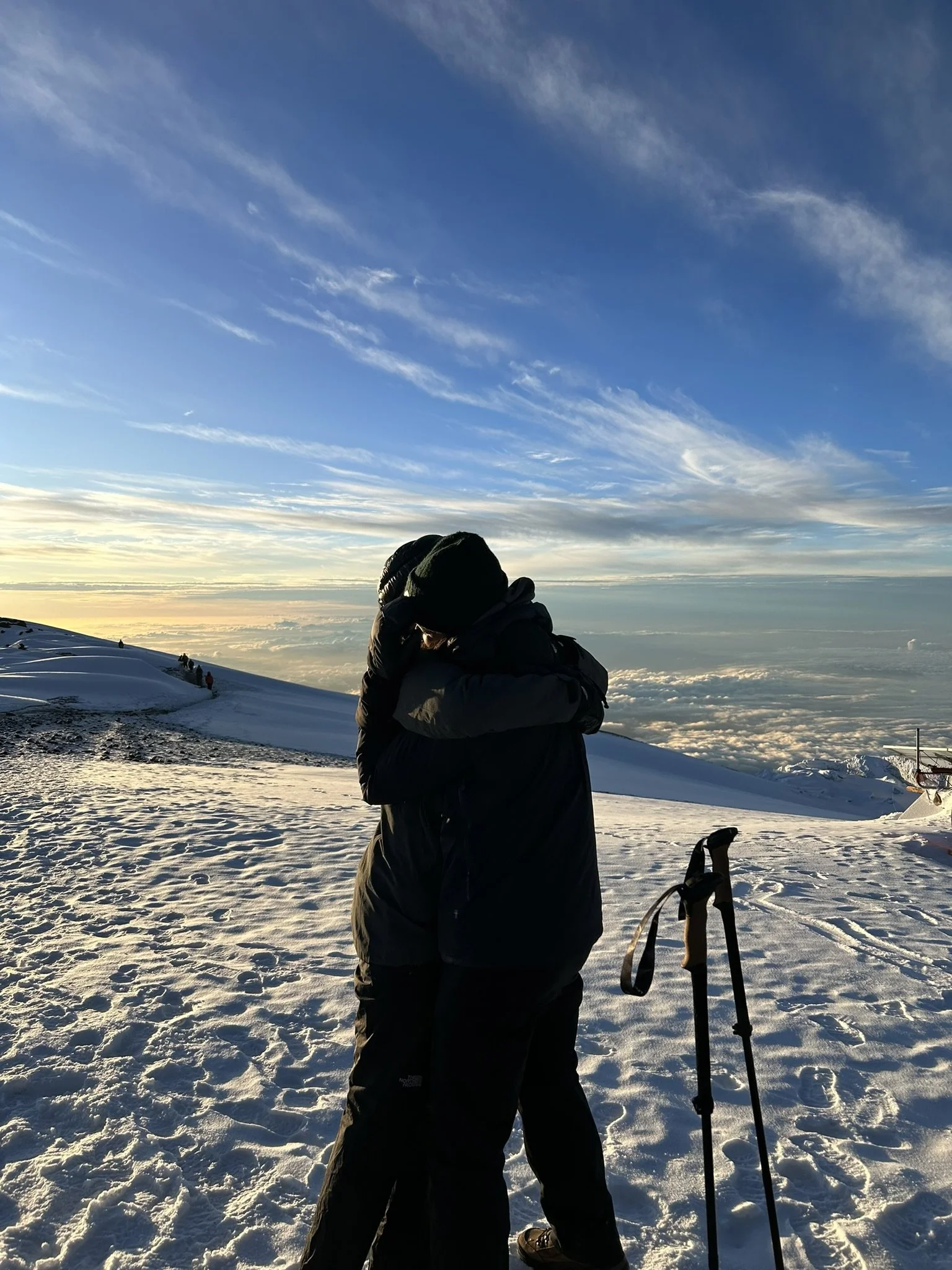
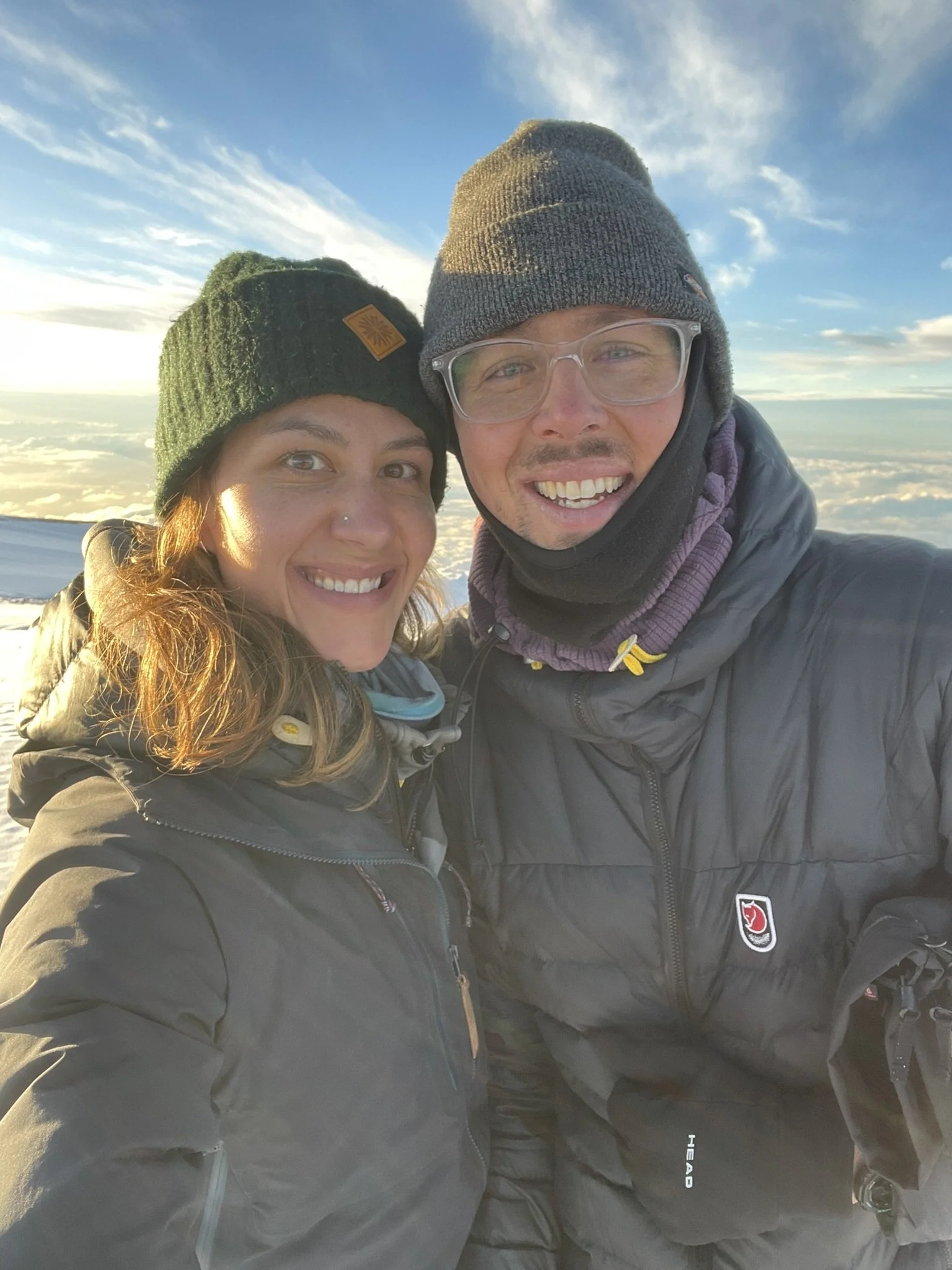
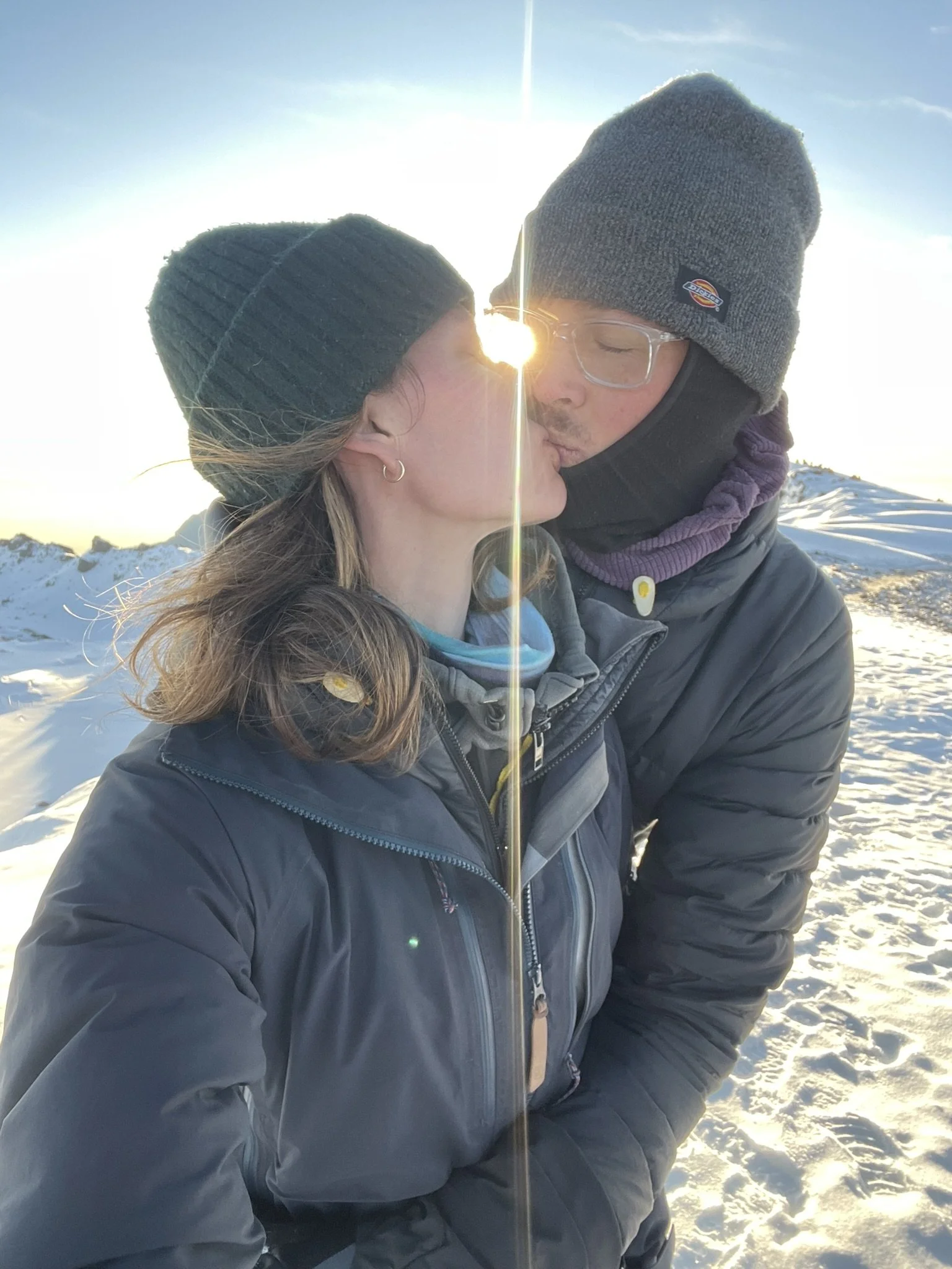
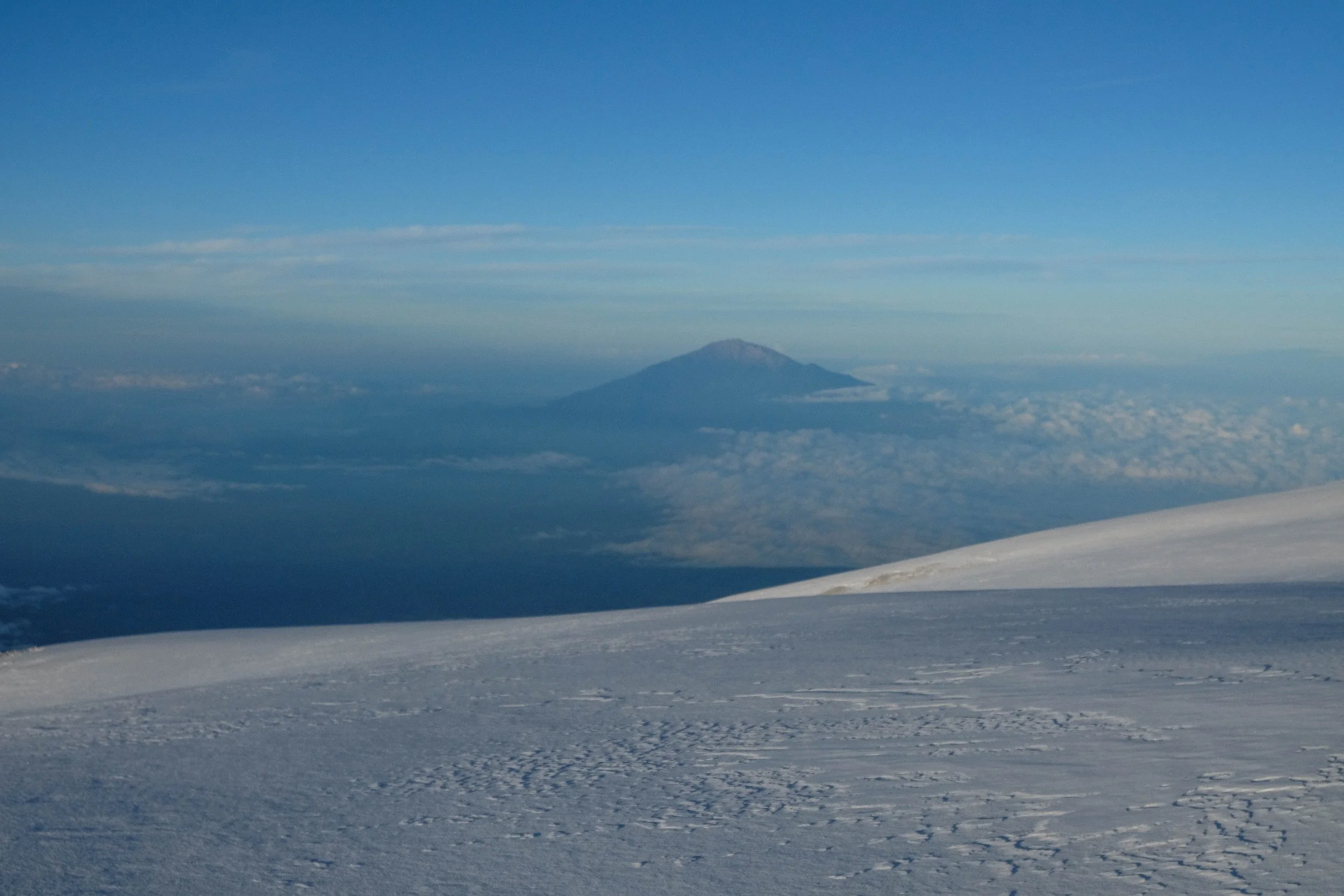
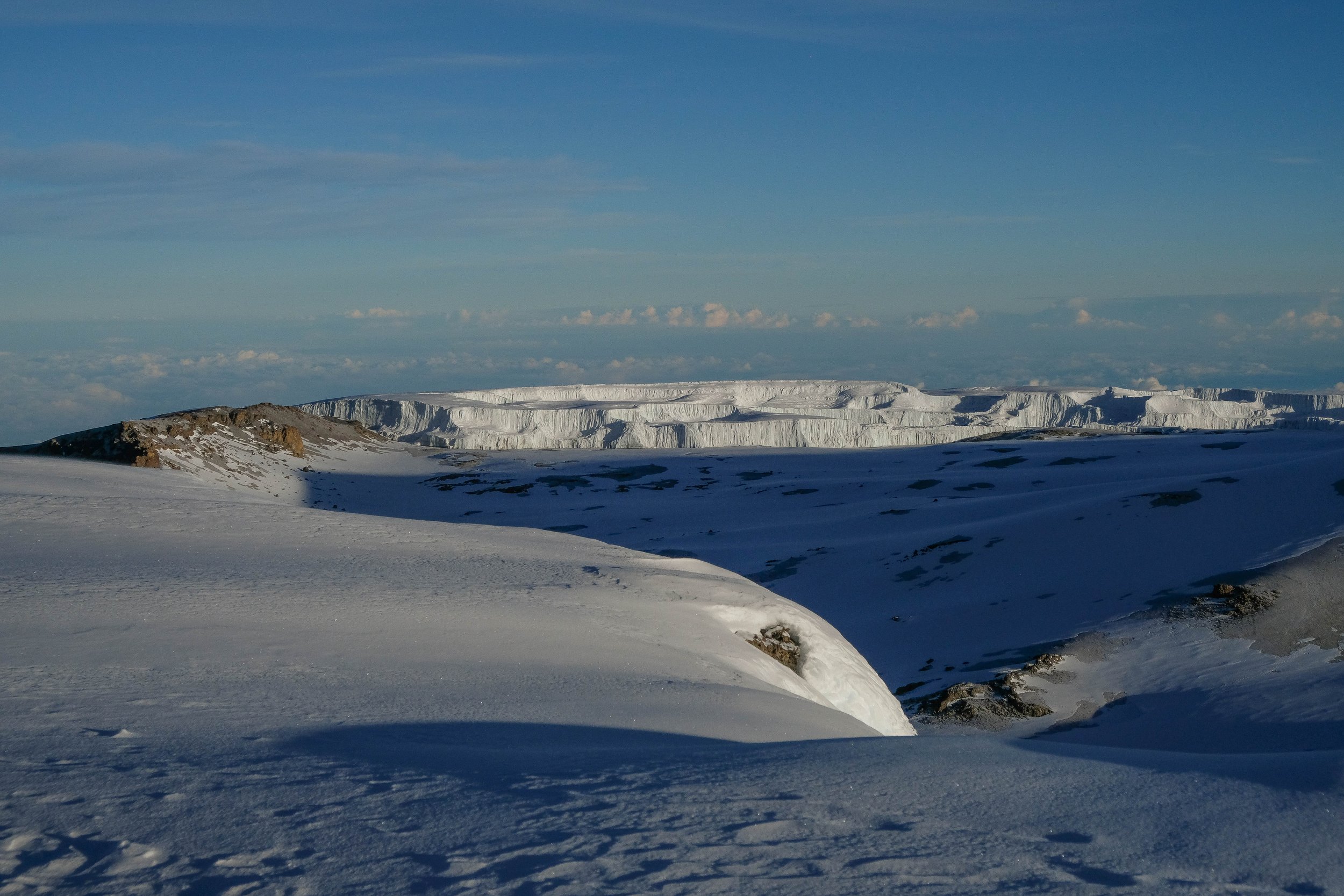
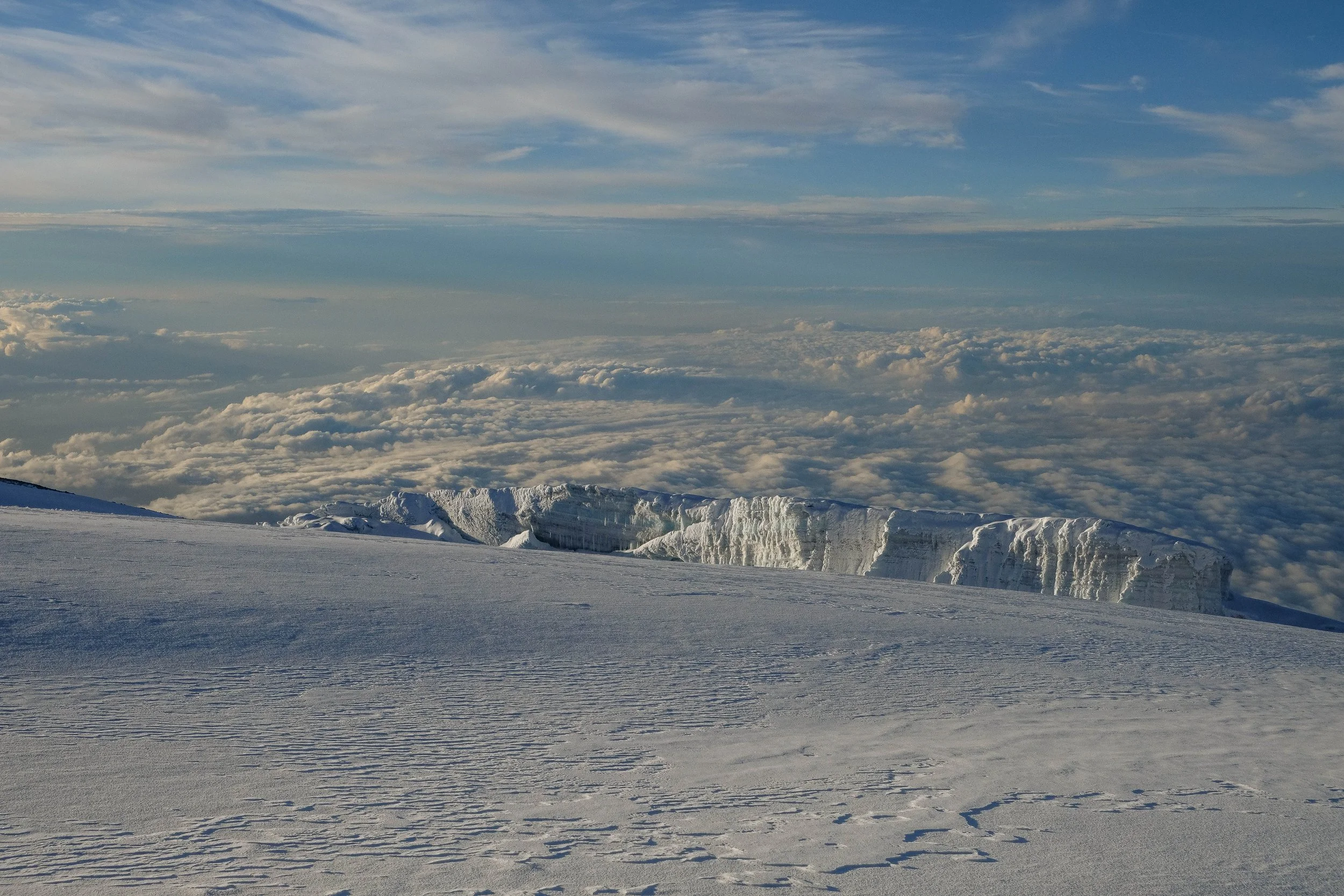
A wave of emotions passed through me—joy, elation, euphoria; disbelief, awe, wonder. The rays of the rising sun extended across the sky, visible beams shooting all the way across the bowl of the heavens. The crater, brimming with fresh white snow, swooped away beneath us to the right; to our left was a glacier, glistening pink and orange in the light of the sun; ahead of us was a narrow trail through the thigh-high snow, guiding us around the edge of the crater for the final leg of our journey to Uhuru Peak. I cried and laughed as the wind whipped around us: this was really happening, this was real.
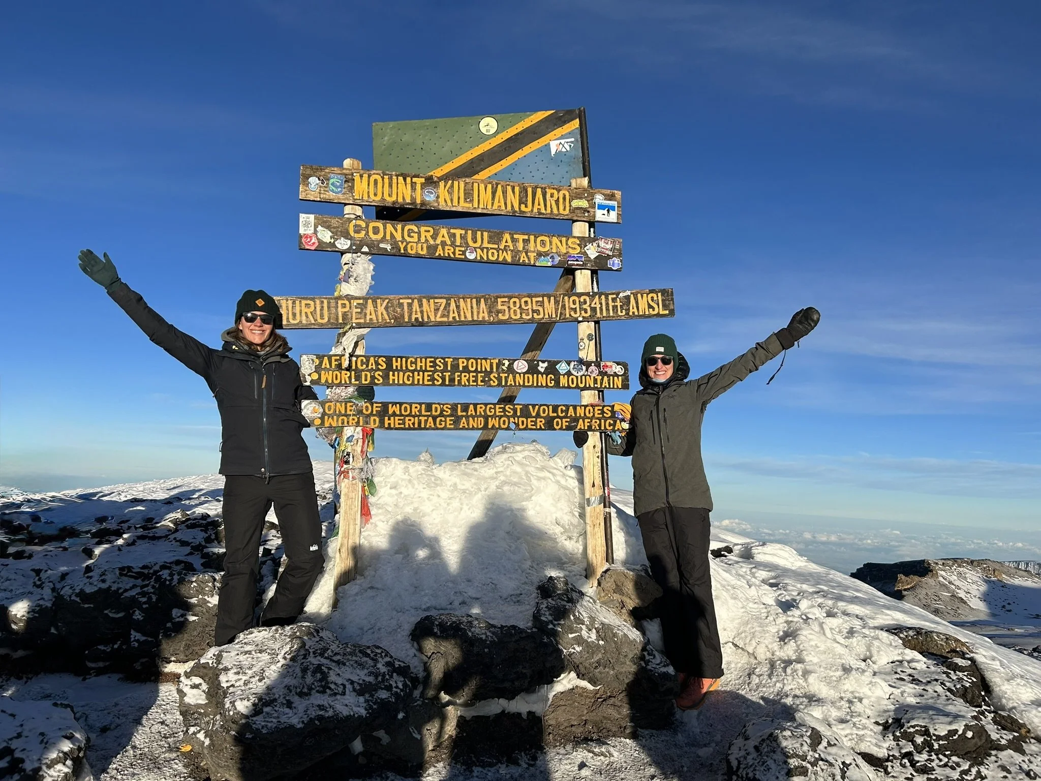
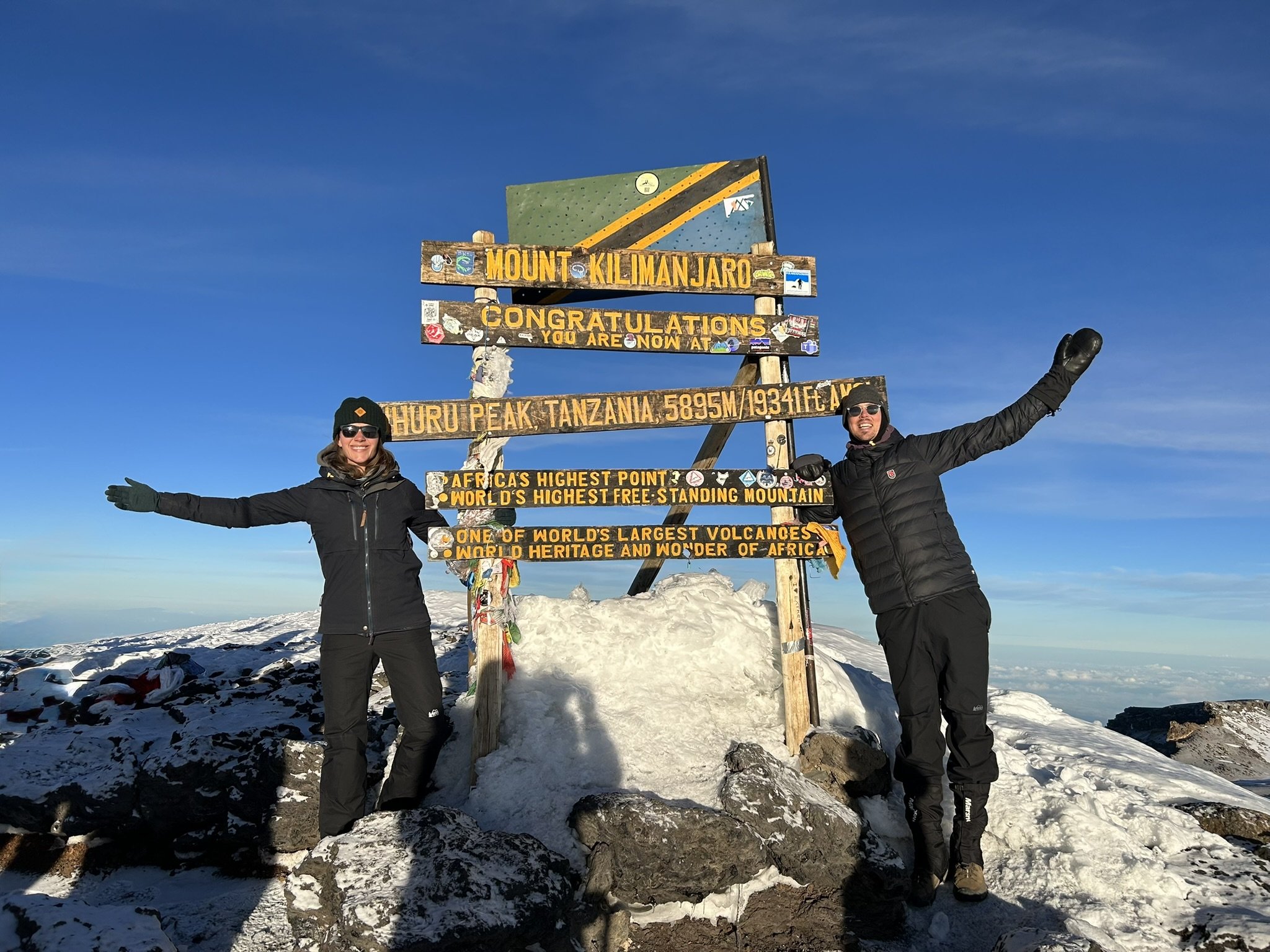
The 30 minutes between Stella Point and Uhuru Peak were magical, a sacred time to hold the beauty and emotion close. And then there it was, the iconic Uhuru Peak sign in the distance, perfectly lit in golden sunlight. I hope I never forget what it felt like to see that sign at long last, the fulfillment of a long-held and cherished dream.
There wasn’t a dry eye in our group as we reached the summit, hugged and high fived. Alida and I shared a tearful embrace, reveling in the fulfillment of a shared dream of more than a decade. “We did it!”
Nims Purja says: “On the summit, your soul becomes part of the mountain. It makes you feel alive.”
I felt that surge of life and know this in my bones: Part of my soul remains on the hauntingly beautiful summit of Kilimanjaro. 🏔️
Part 2
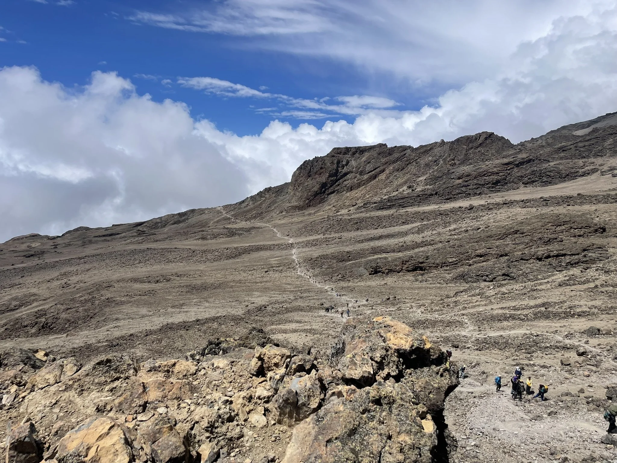
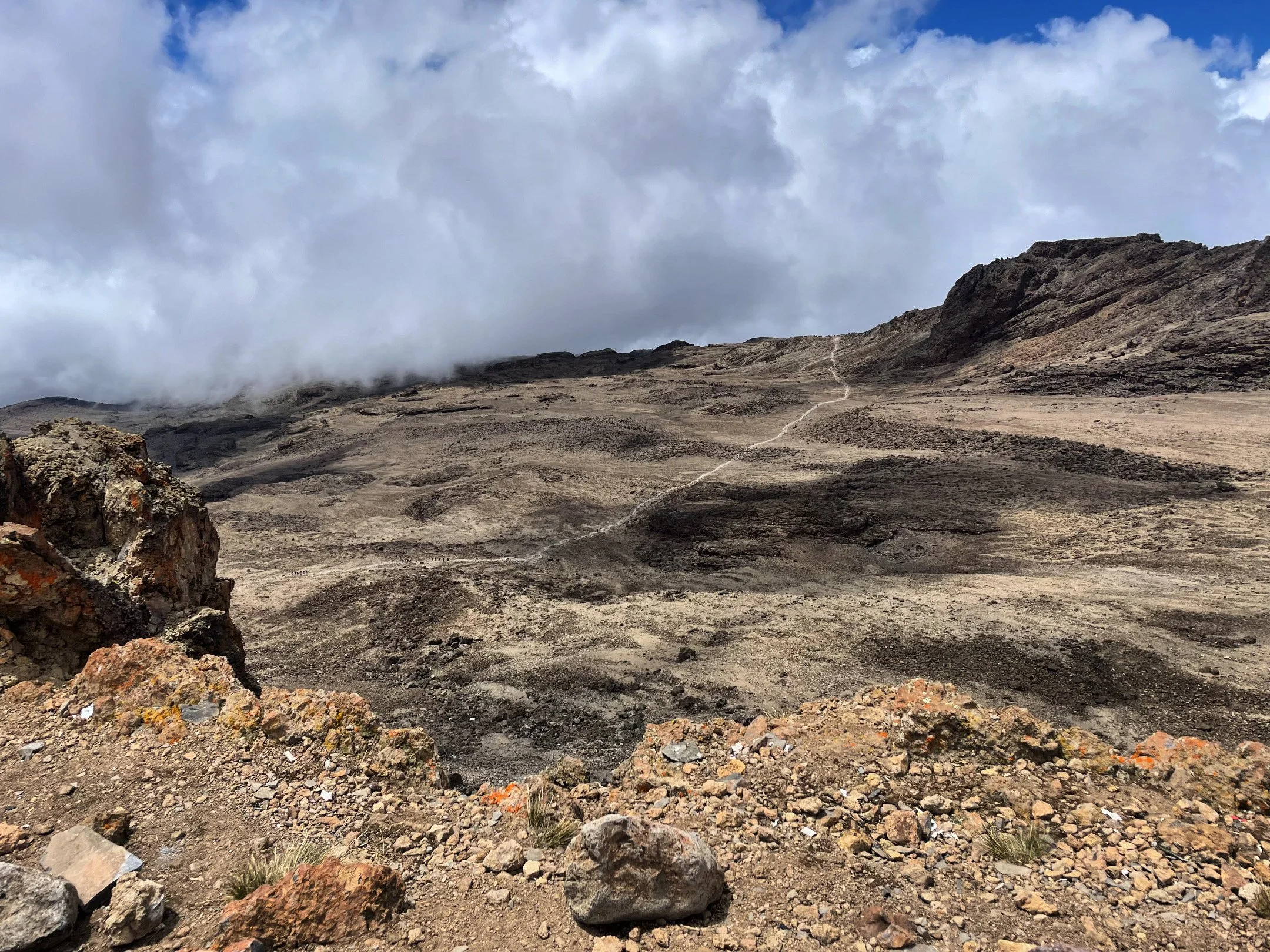
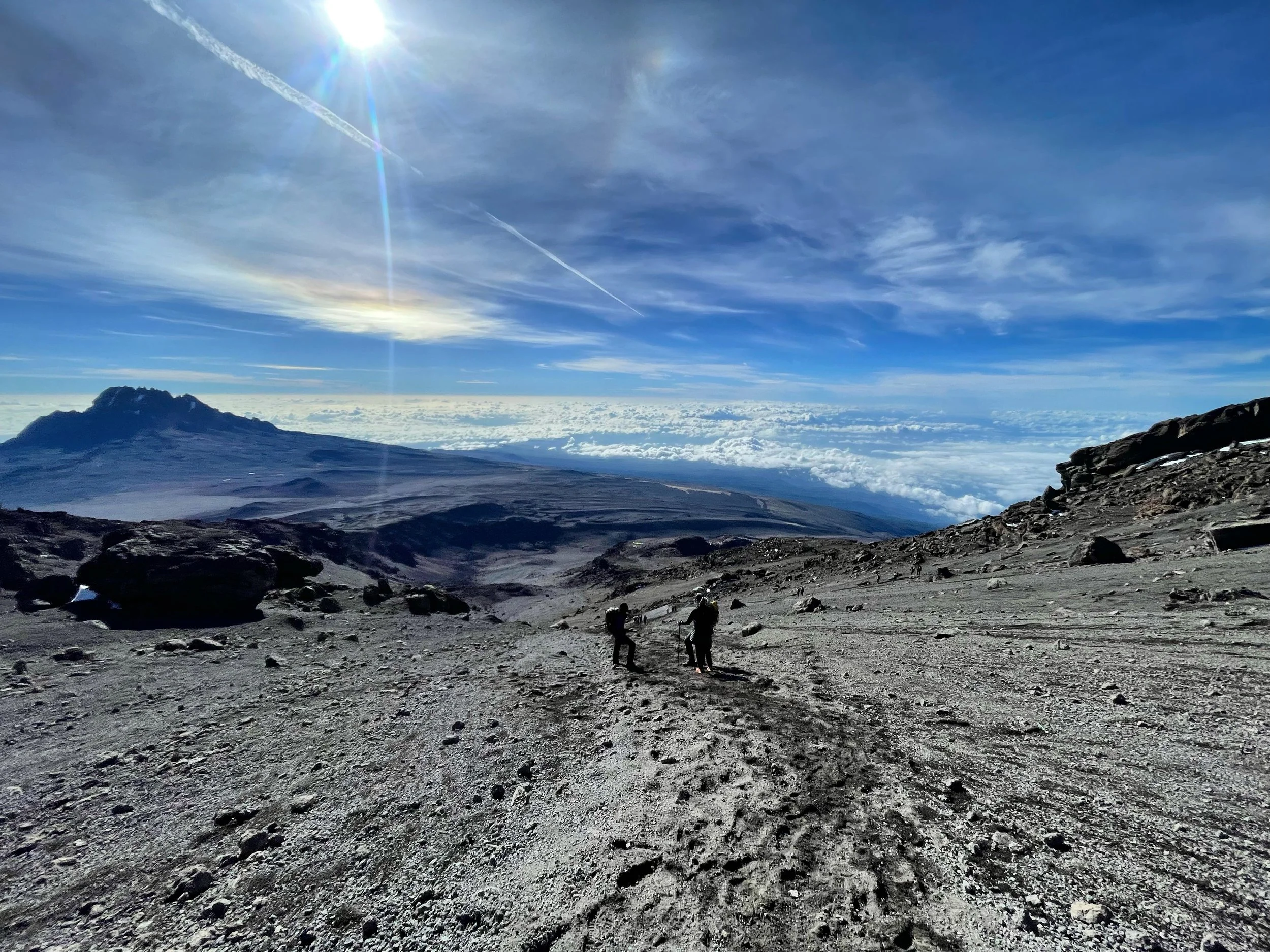
High on adrenaline and euphoria, we descended from Uhuru Peak back down to base camp. Our pace was quick and we shed the majority of our layers in the first thirty minutes. Between the altitude, lack of sleep, and direct sunlight, we all developed splitting headaches by the time we reached the camp again. Food and an hour of rest cured the headaches, but we still had a long way to go before finishing our day. We had been awake for about 13 hours already but mentally locked in for another huge descent of 4000+ ft.
After about an hour on the trail, rain clouds rolled in and thunder rumbled. We’d seen weather change quickly in the past, so expected this to blow over. We were wrong.
A torrential downpour opened up and lasted more than two hours. It turned the path into a flash flood that we tried to descend as quickly but safely as possible. Suddenly, a deafening thunder clap boomed right over us and lightning struck close by, closer than I’ve ever felt or ever want to feel again, the electricity humming in the air. Everyone ducked for cover and began to run faster down the trail, eventually splitting our group into two for the remainder of the afternoon. As we ran, we learned that a porter in another group was struck by lightning during the descent (he was alive, thankfully, we were told), instantly sobering news that hung heavier over us than the grey clouds that furiously emptied themselves onto our heads.
Between my phone, James’s phone, and my camera there exists only one photo of this afternoon, and it was taken before the storm. It’s the weakest photographic offering of the entire experience, but it gets a post because it’s impossible to discuss summit day without remembering the vast swings of emotion and effort we experienced between the first and second half of the day.
We finally made it to our last camp and went to bed damp and exhausted mentally and physically from two high adrenaline challenges in one day, grateful to be alive, and holding the full emotional spectrum of the day in our hearts, minds, and bodies.
Day 7: Mweka Camp to Mweka Gate | 6 miles | 10,170 ft - 5,500 ft
Our final morning dawned with sunlight filtering through the branches of the trees, drying the last bits of dampness off our gear.
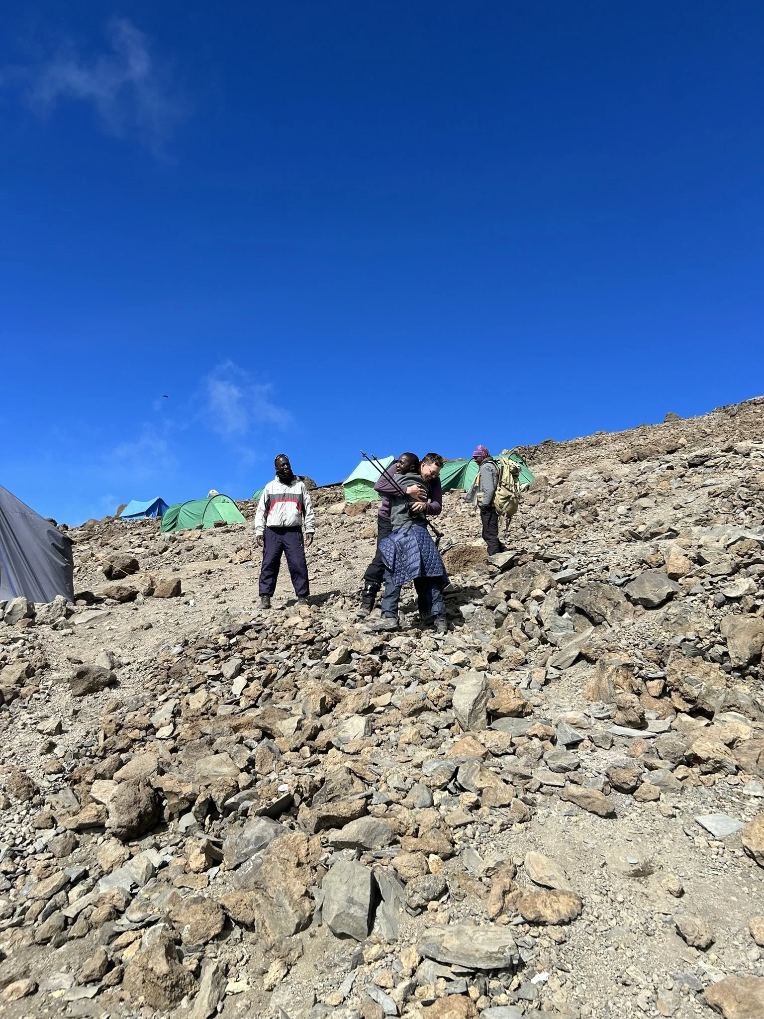
After breakfast, we gathered with every member of our team—porters, cook, and guides, the people who made this experience possible—to close out our time together before the hike out. We shared words of gratitude, song, and dance. I was and am profoundly impacted by what a team experience this trek was. Out of respect for privacy, that team isn’t represented in the images I have shared (except for our guides with their permission). But I would be remiss not to state very clearly that we were guests in Tanzania and on Kilimanjaro, and it was only through the hospitality and generosity of this team that we were able to experience this beautiful place. We’re deeply grateful to every person who made this possible.
The hike itself was easy, lush, and increasingly bittersweet as we descended the final stretch of mountain. Everything was green. The monkeys were back in the trees. The air grew warmer and more oxygen-rich. When I saw the final sign emerging through the trees, I almost wanted to cry: a mixture of “thank goodness I’m so close to a shower” and “I wish this never had to end.”
It was such a special seven days we’d spent on this mountain, with no connection to the outside world. Nothing but the wind and sky and rain and sun, the conversation of our group, the silence and stars and spaces where little mattered but the careful placement of each foot. It was hard to leave that, yet it was impossible to avoid. Our time had come to say goodbye after an incredible adventure.
Thank you, Kilimanjaro, for all you held: the joyful tears, the conversations shallow and deep, the dancing, the meditation, the awe, the wonder. You were a dream fulfilled that I’ll certainly never forget. 🩵
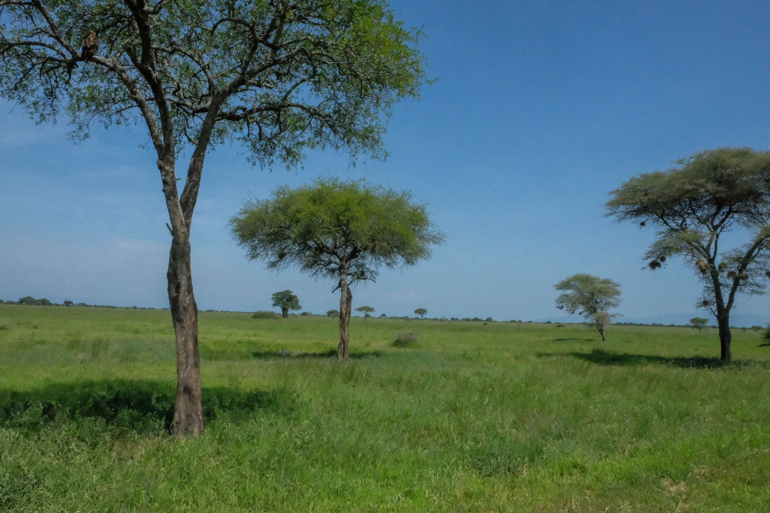
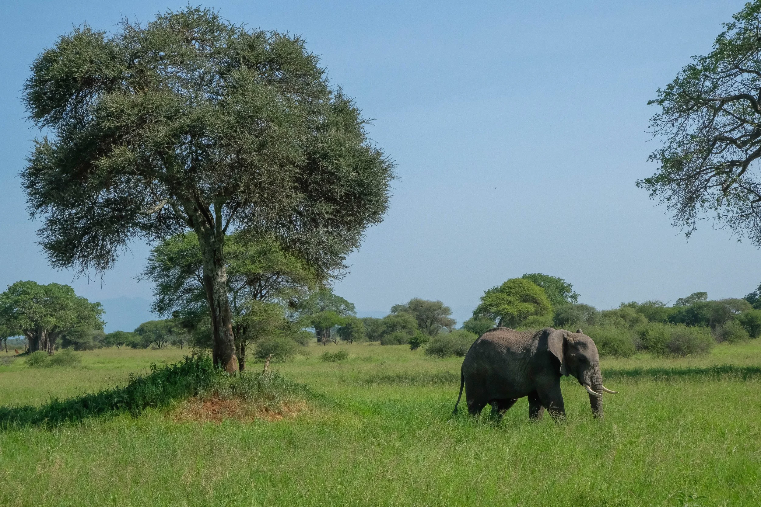
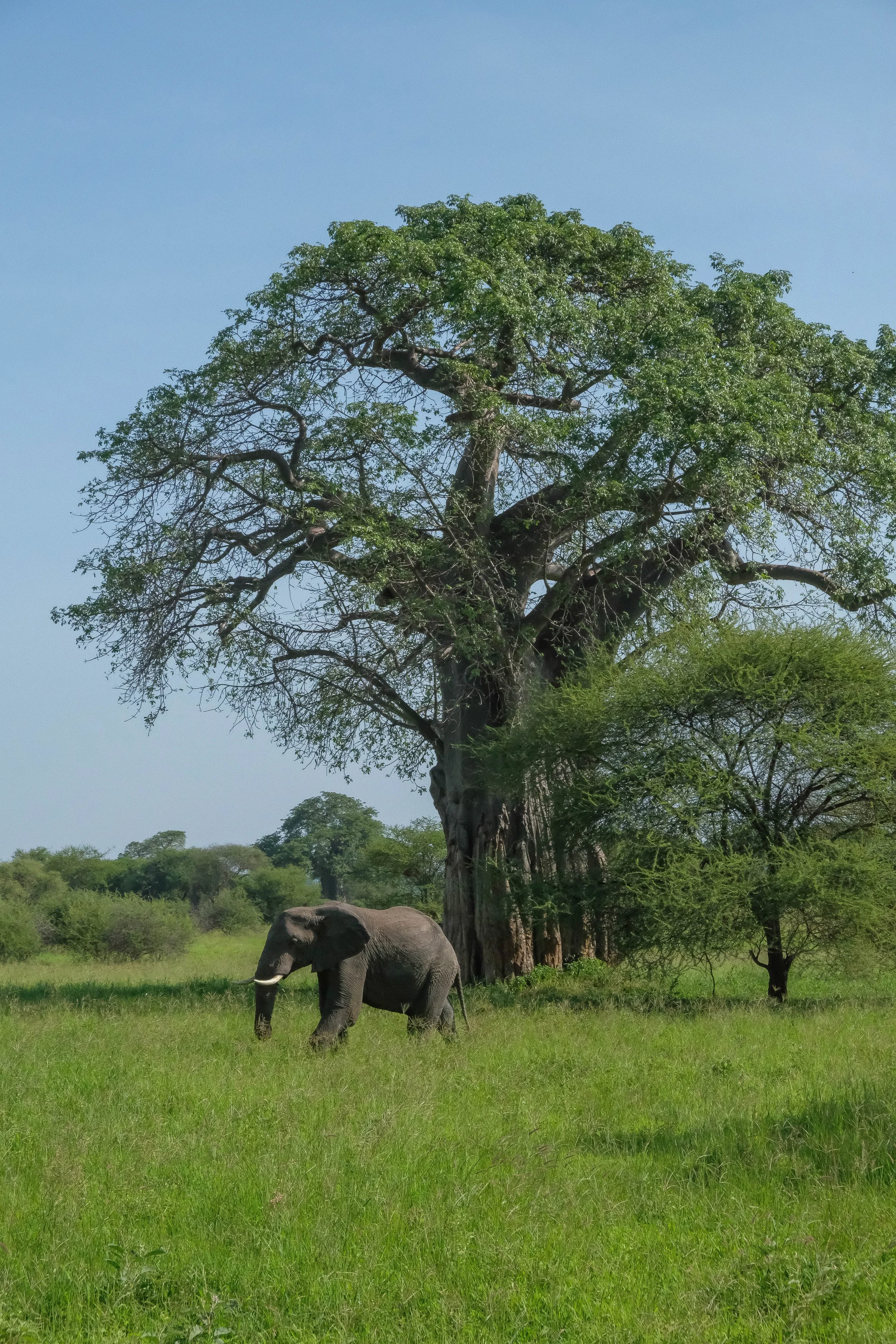
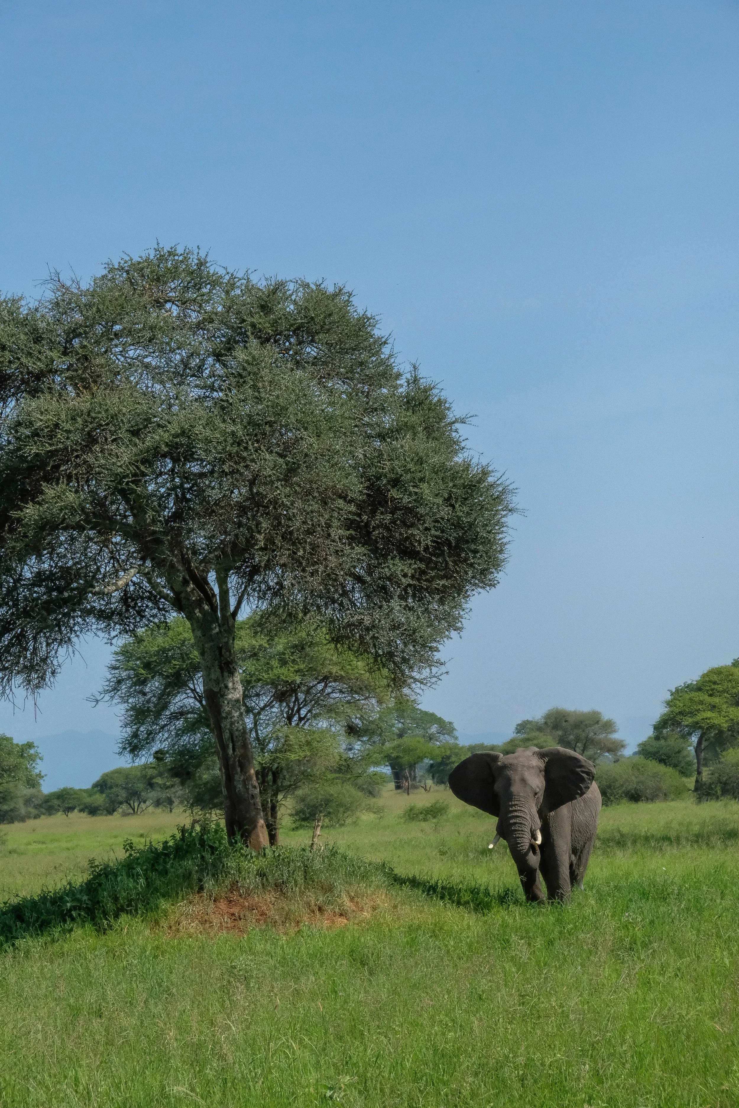
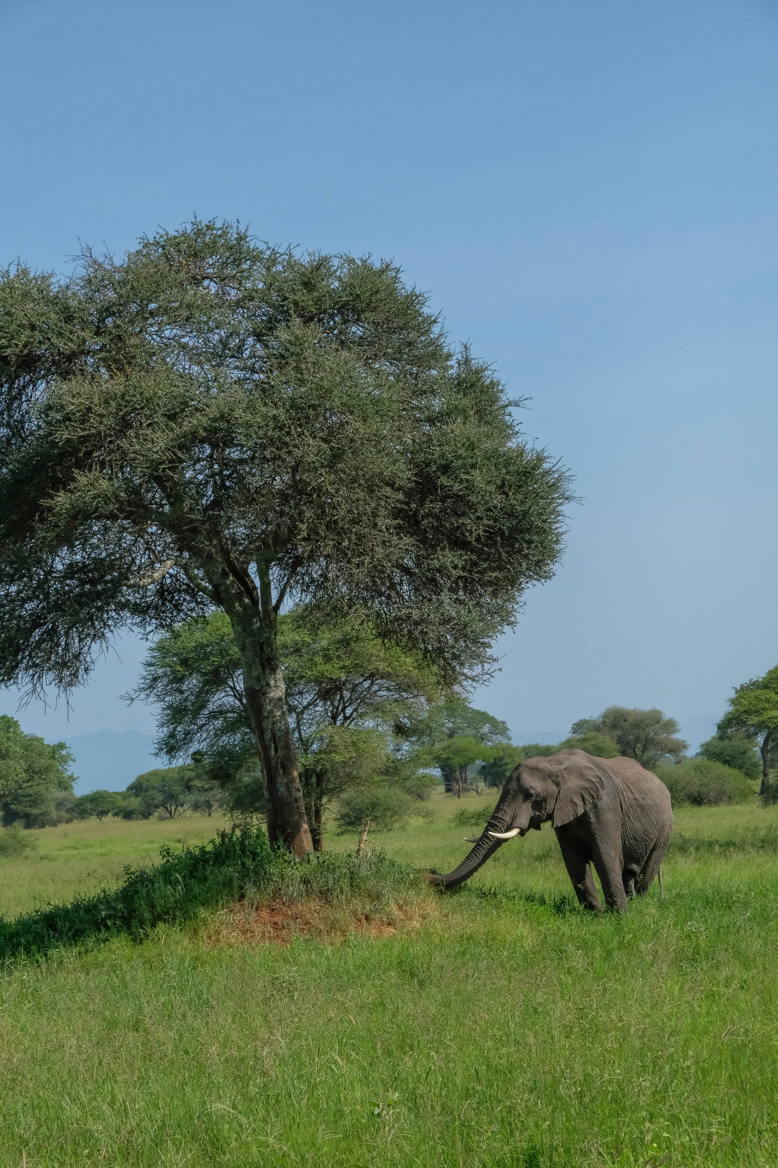
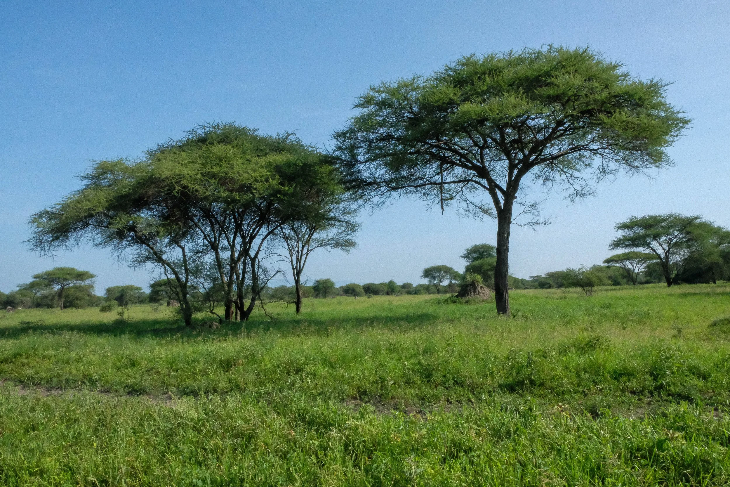
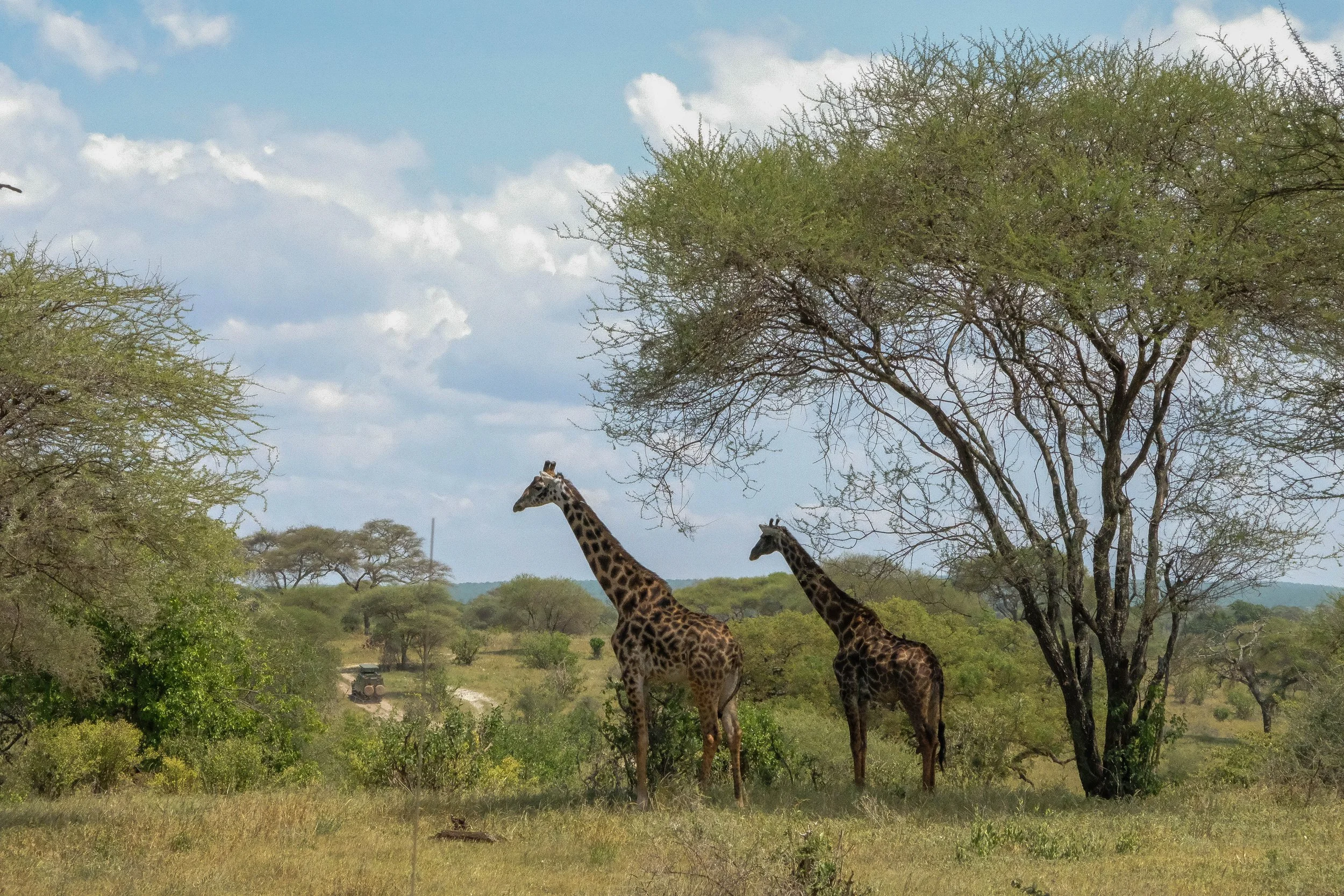
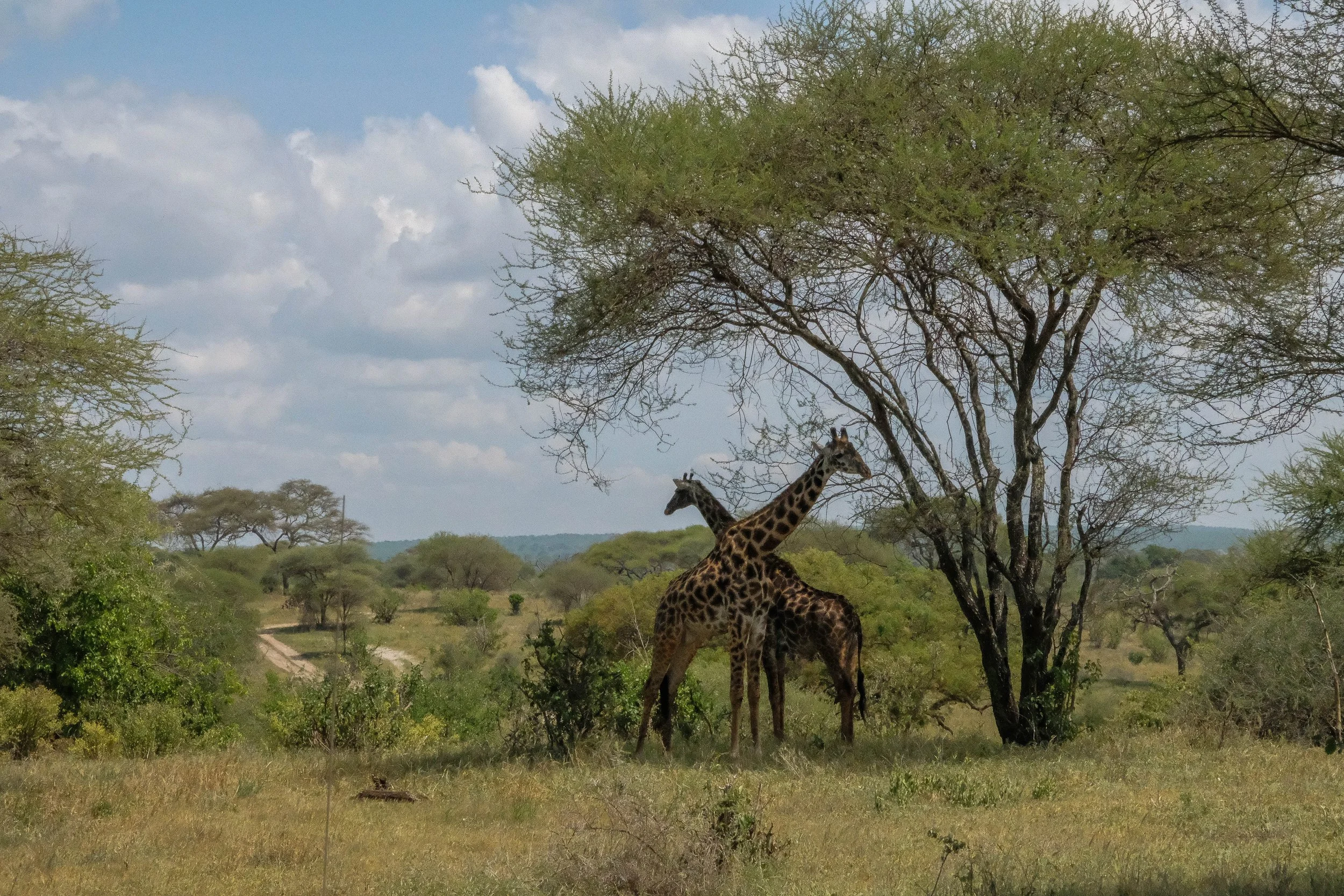
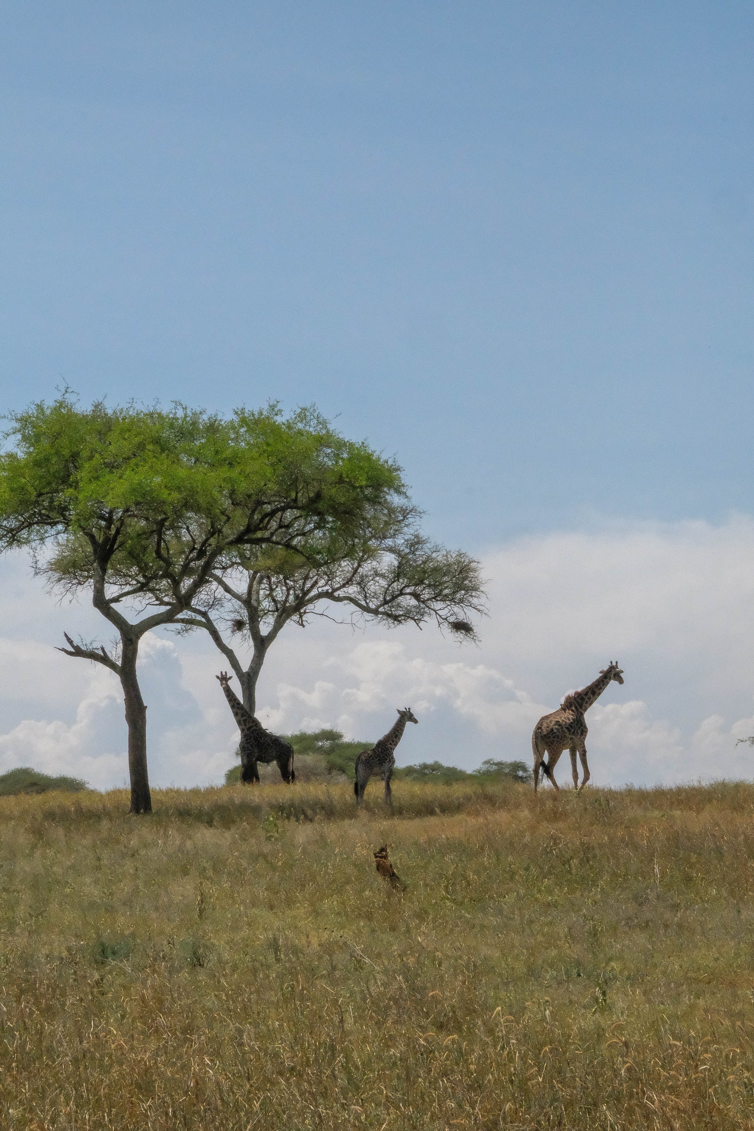
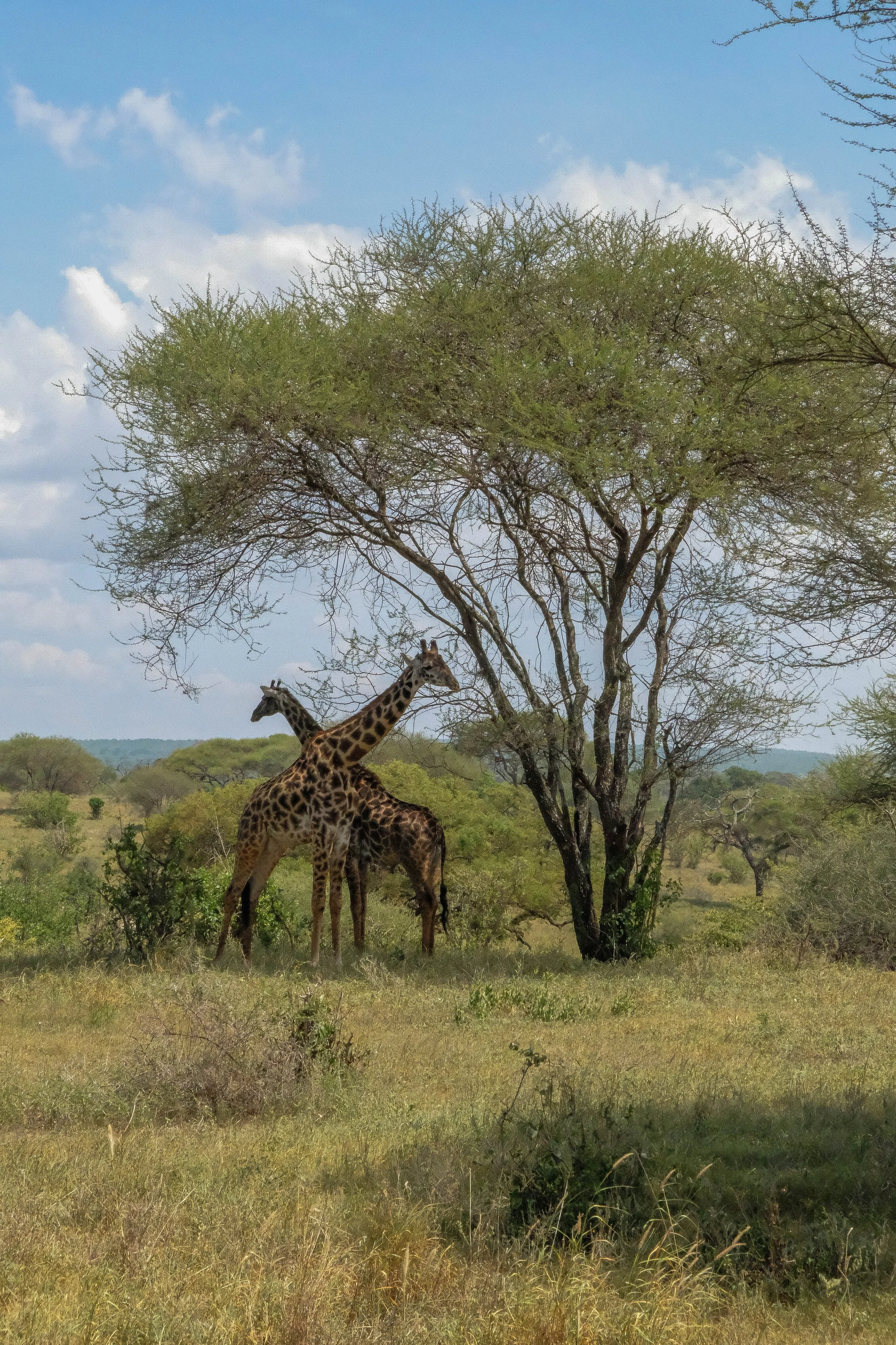
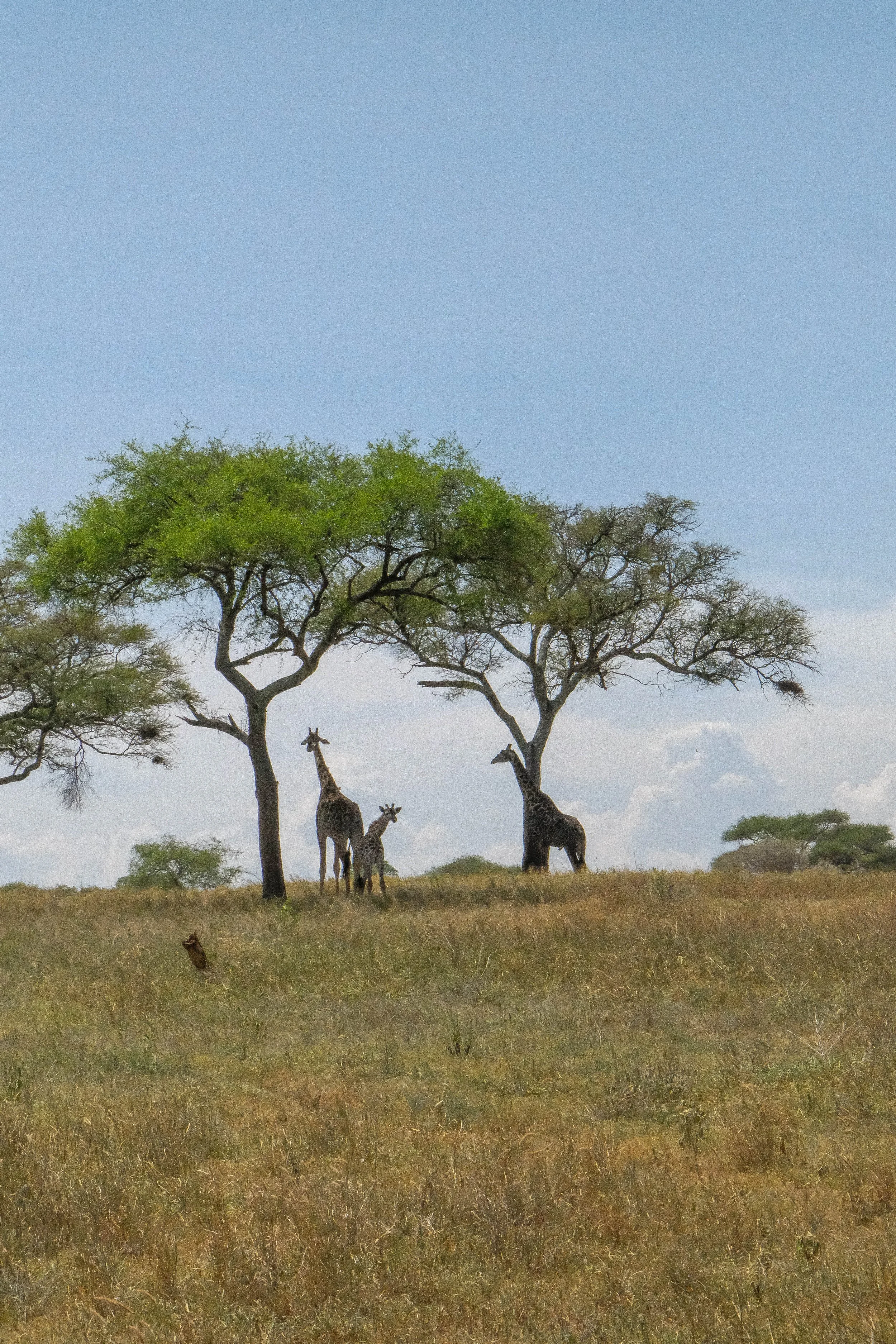
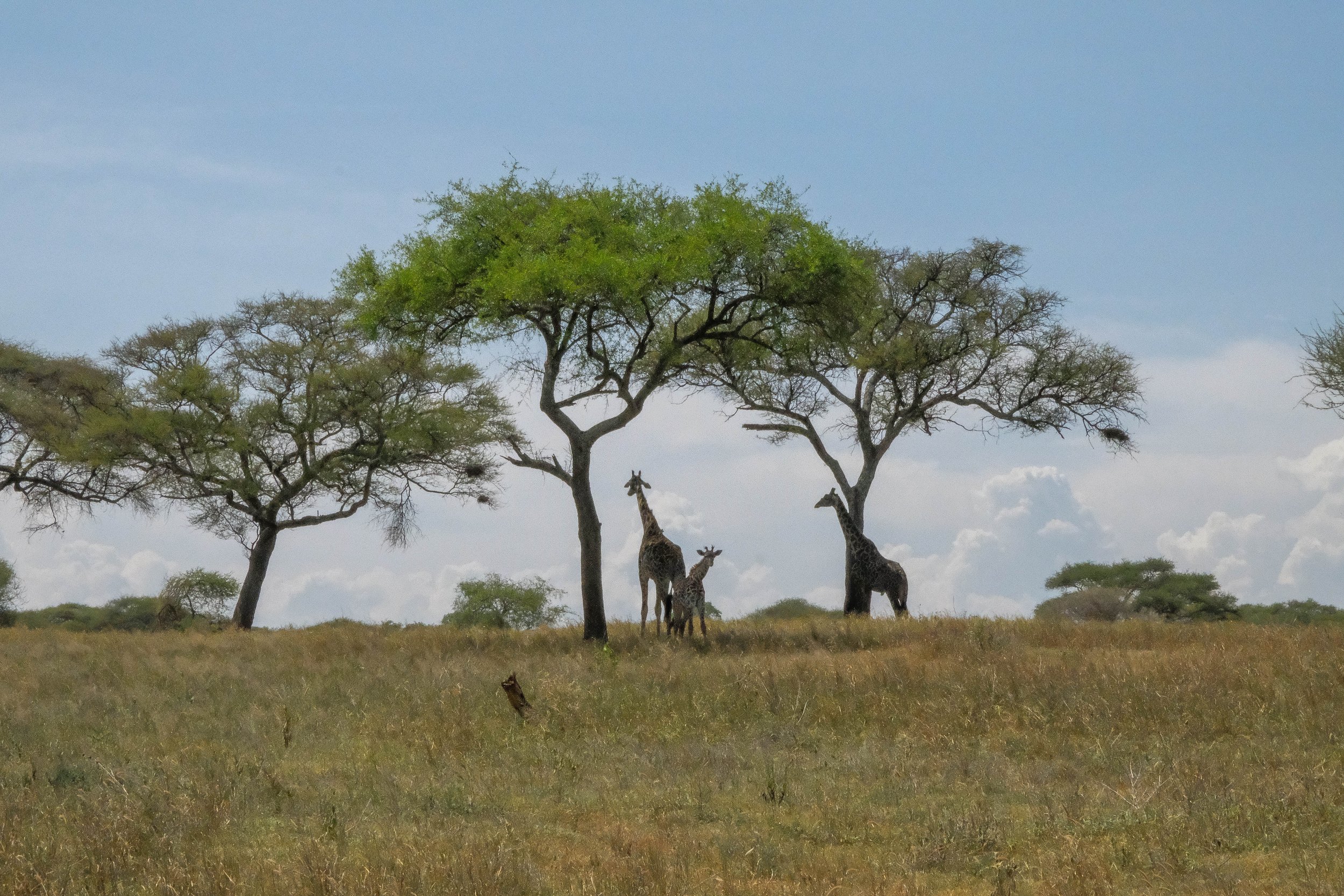
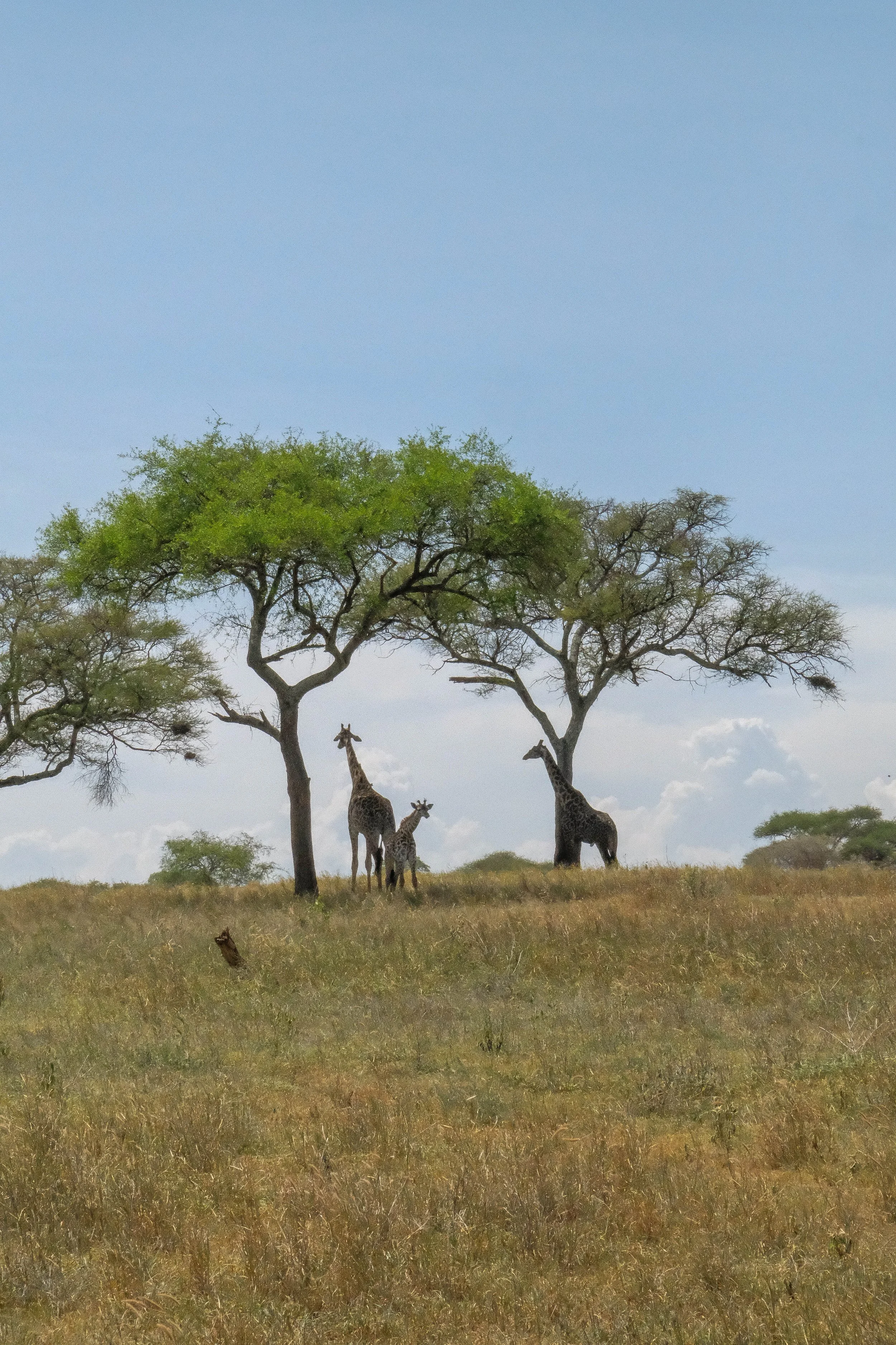
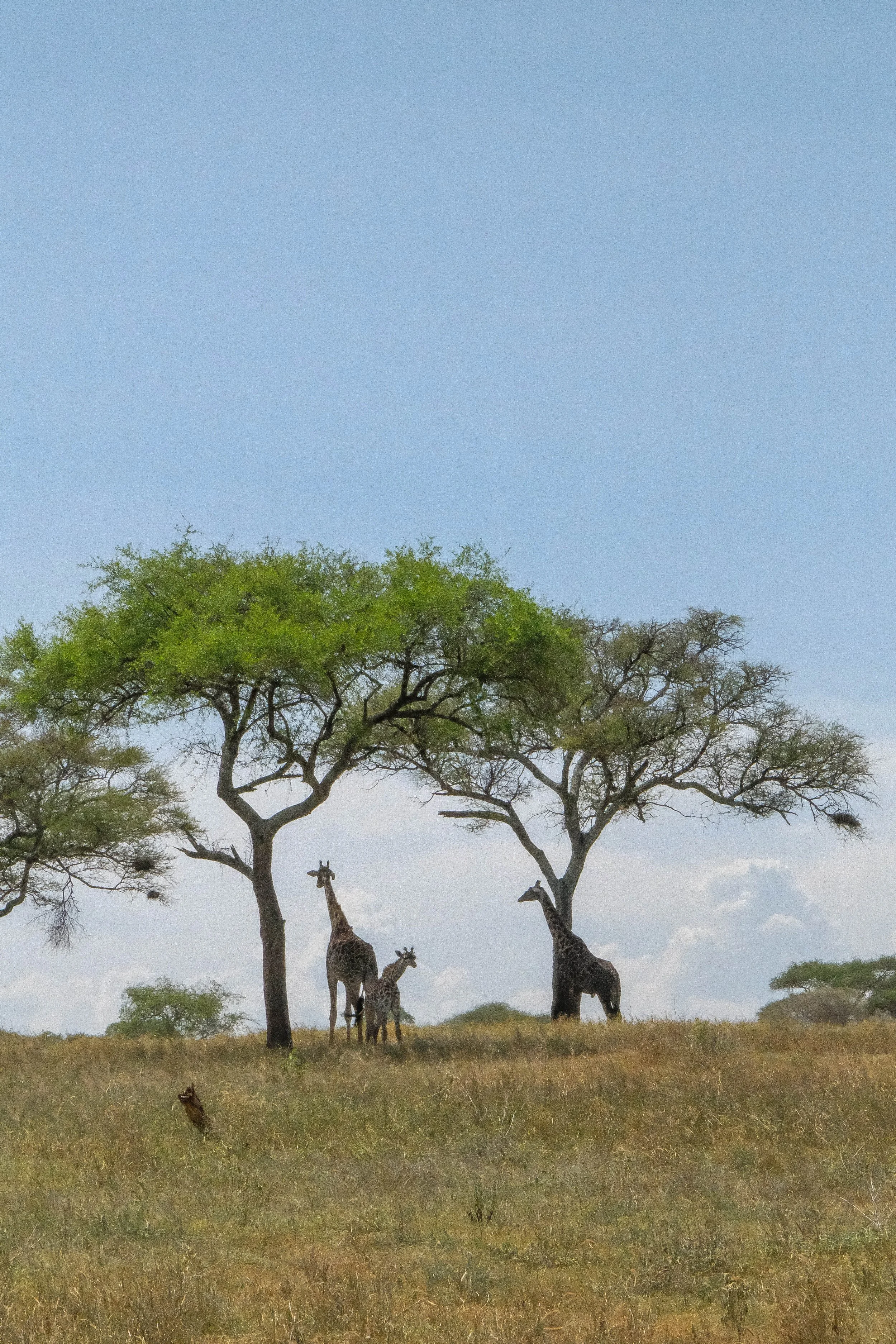
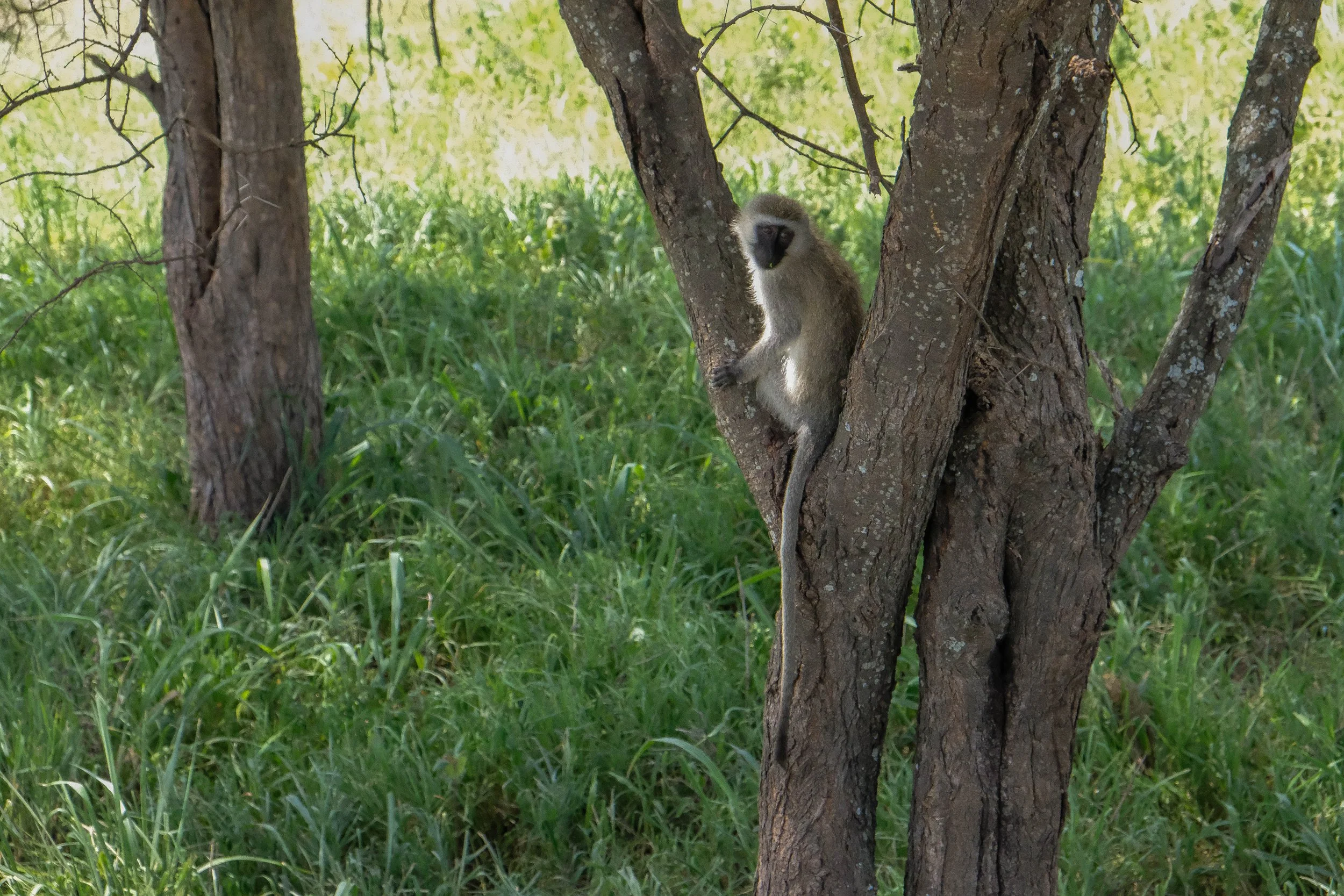
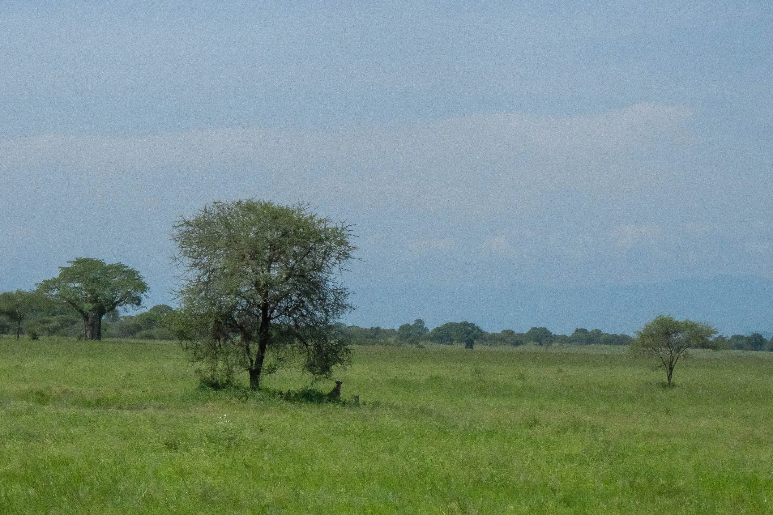
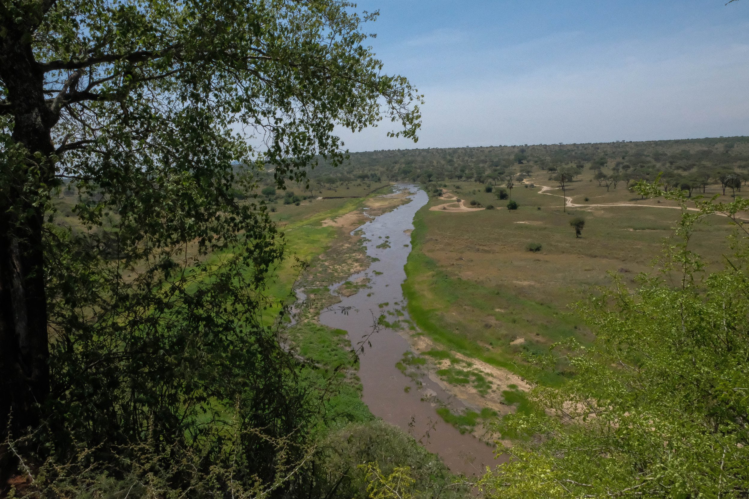
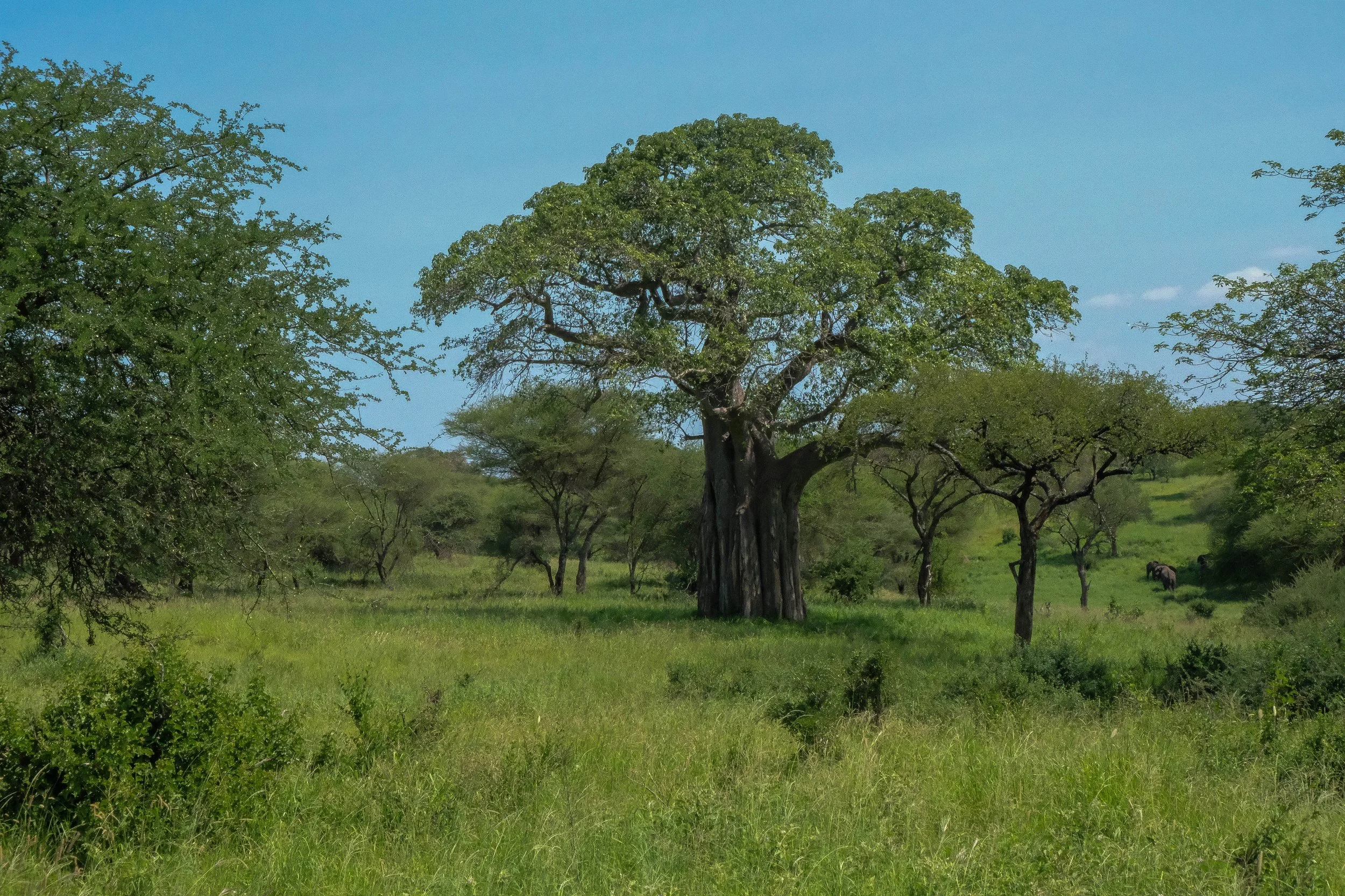
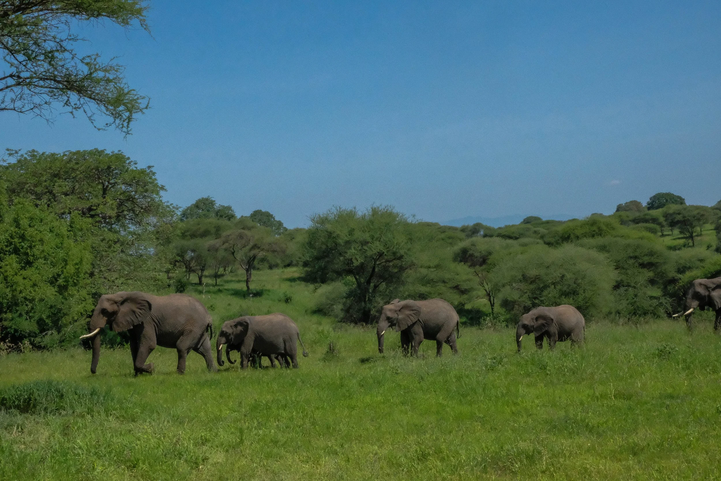
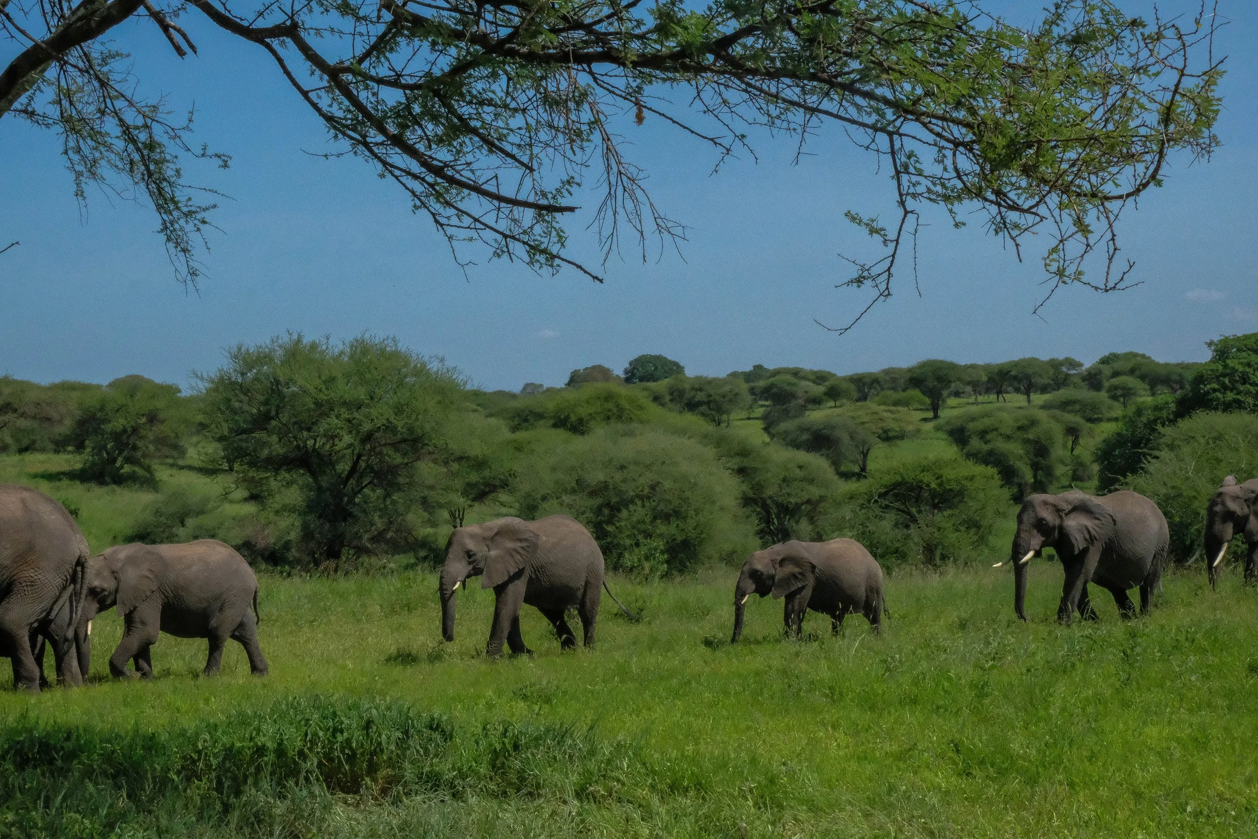
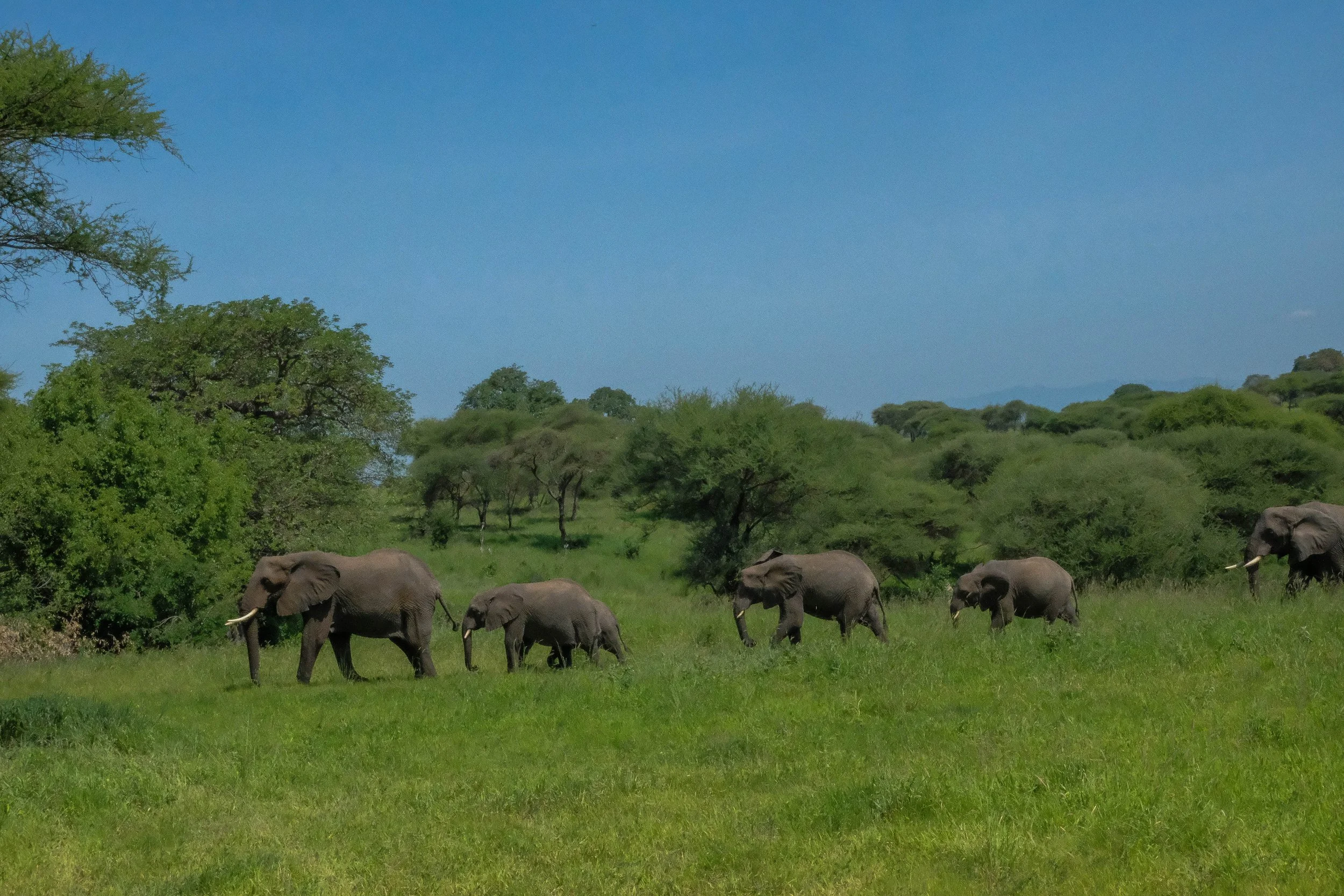
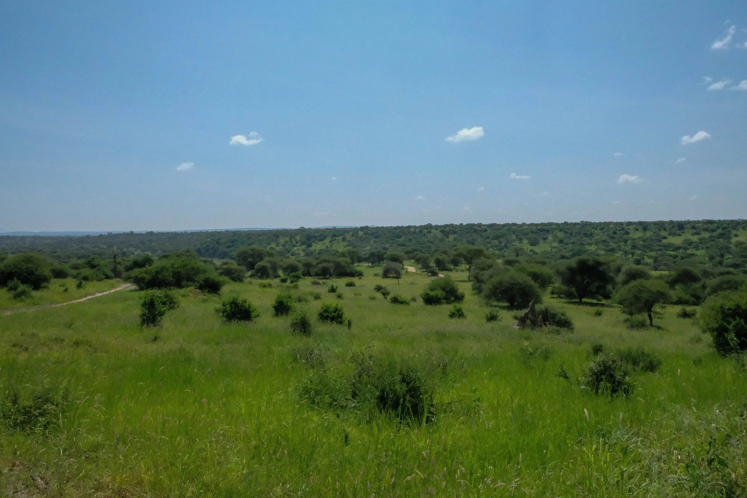
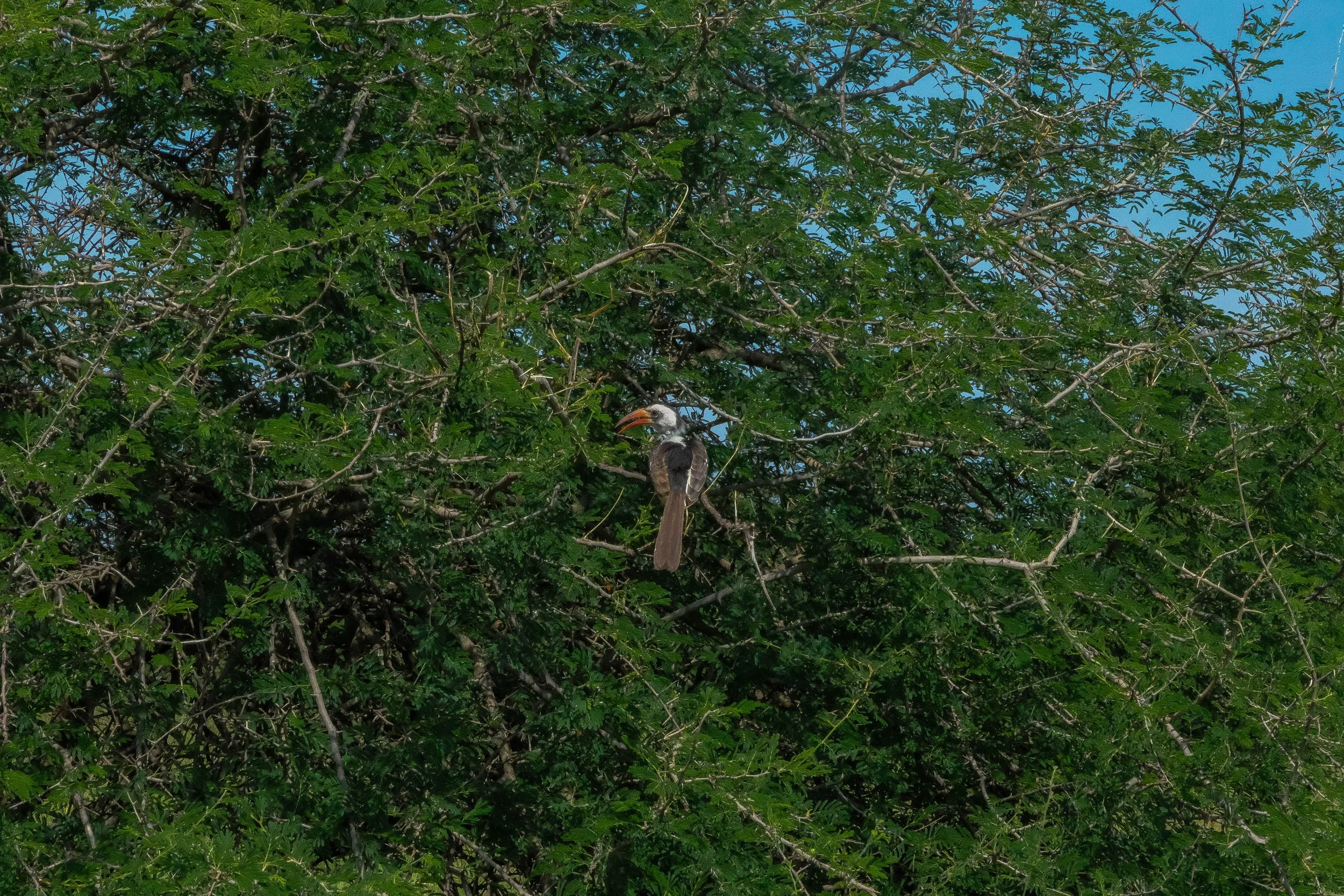
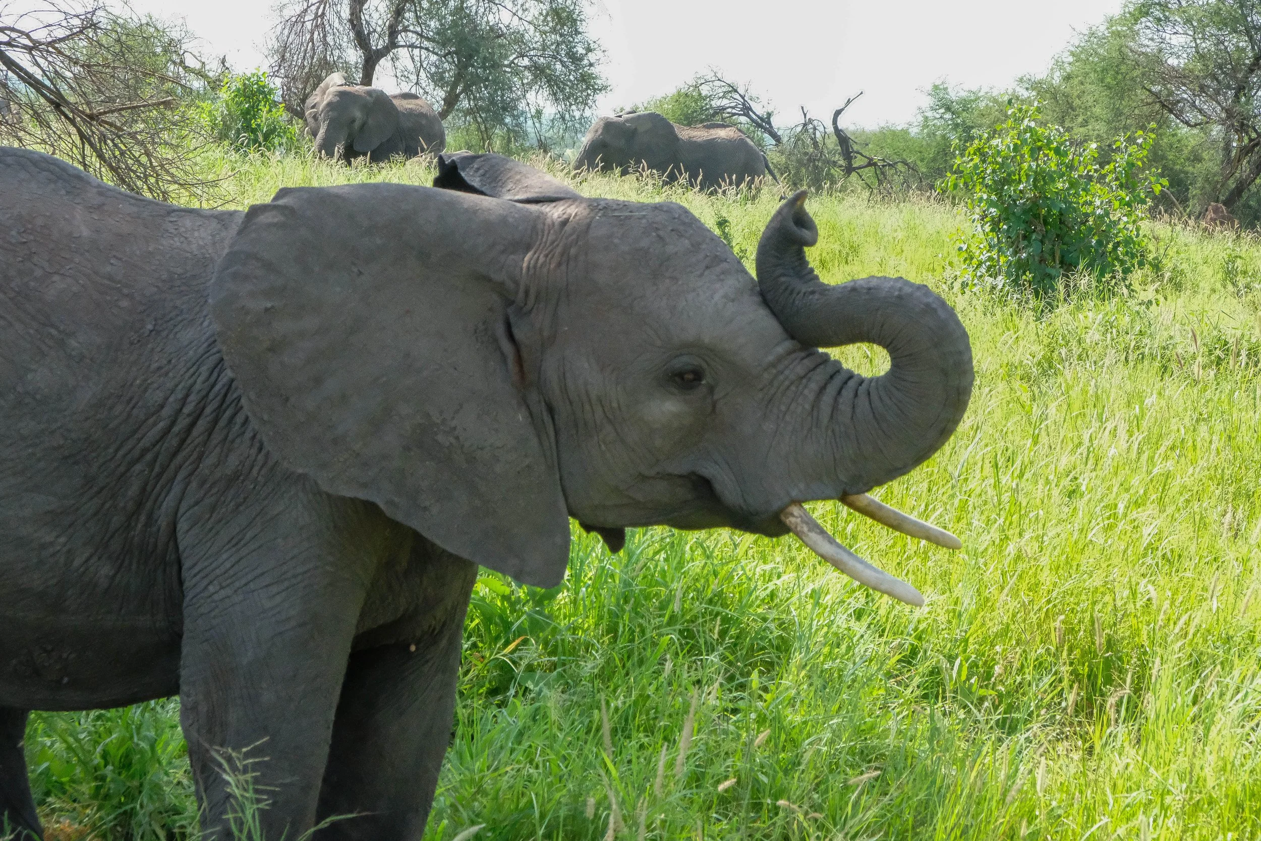
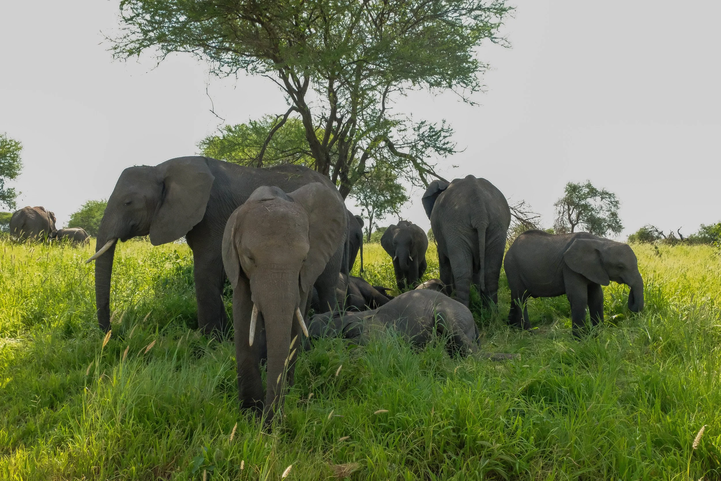
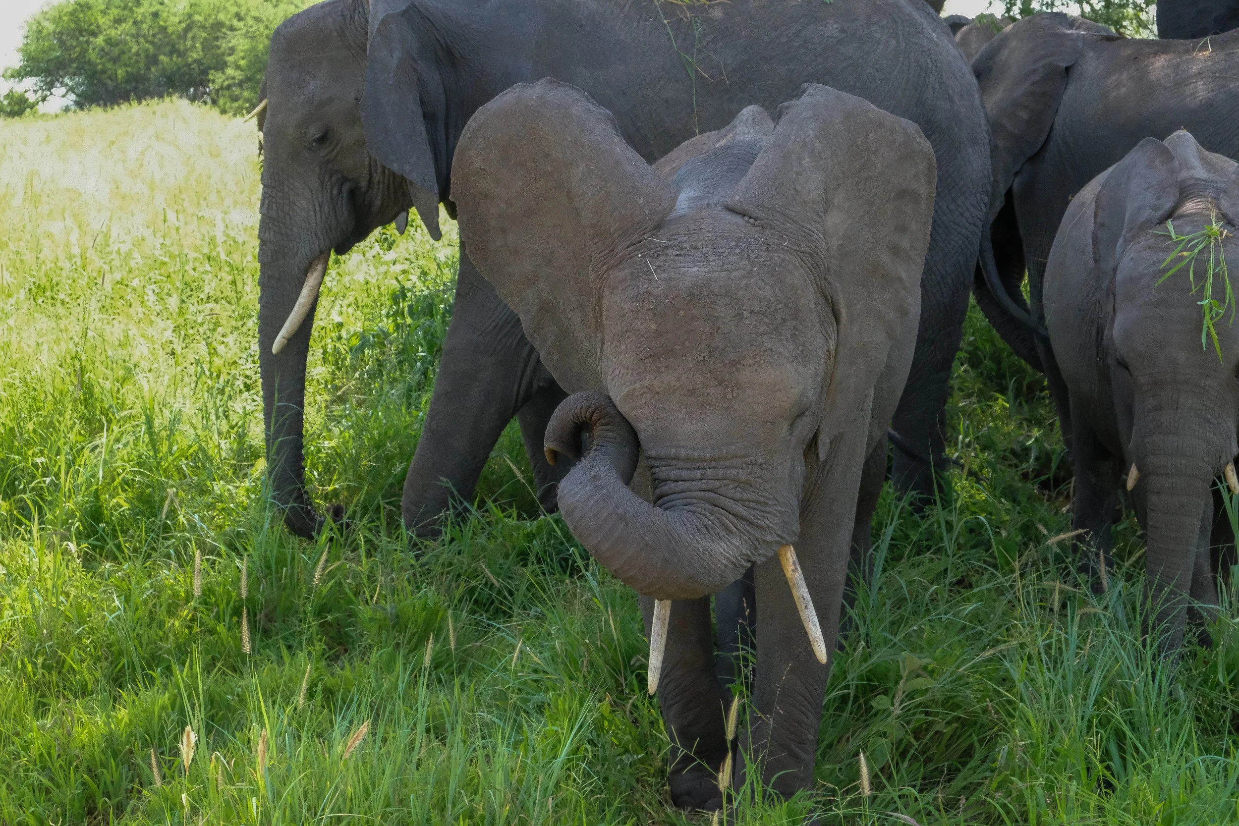
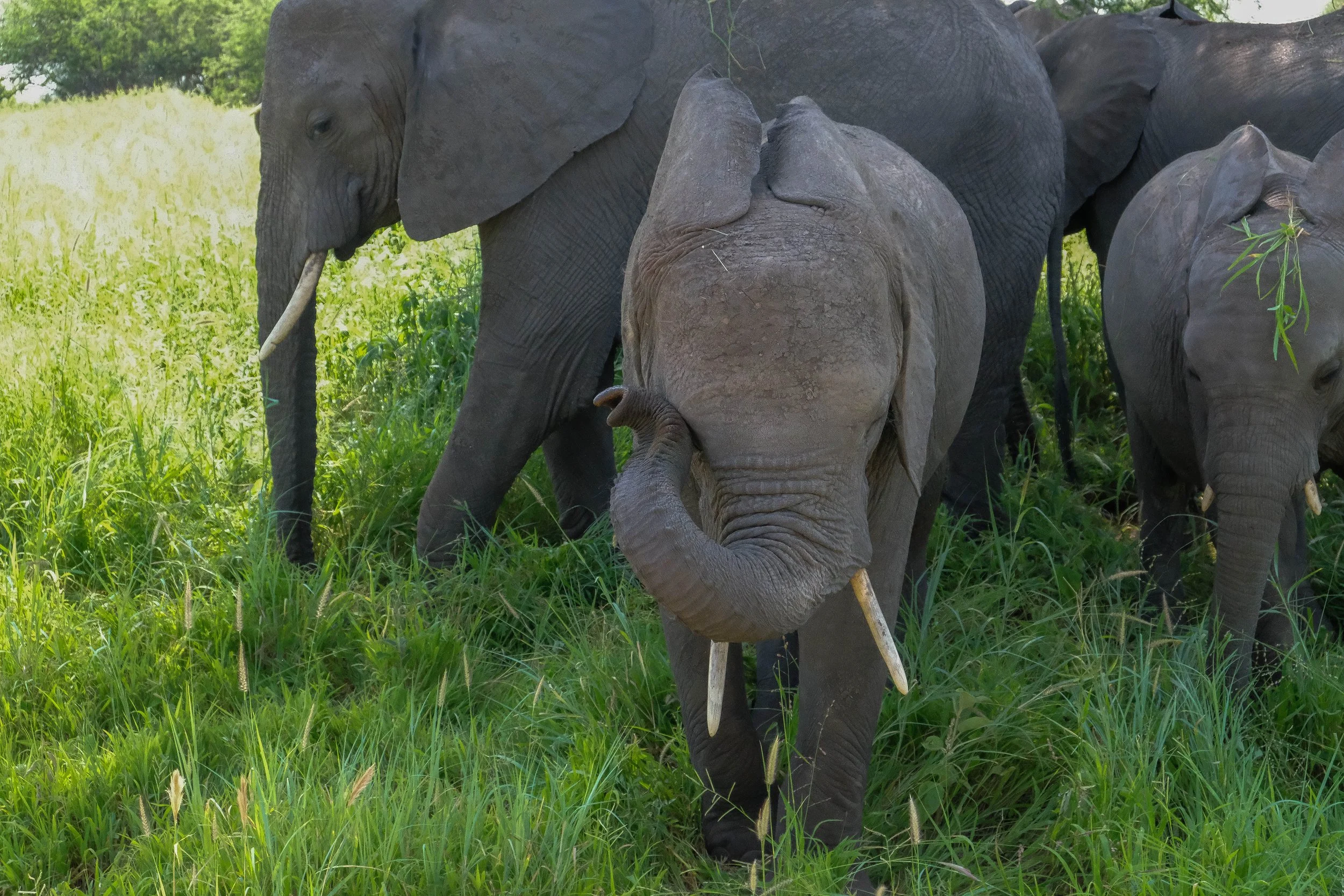
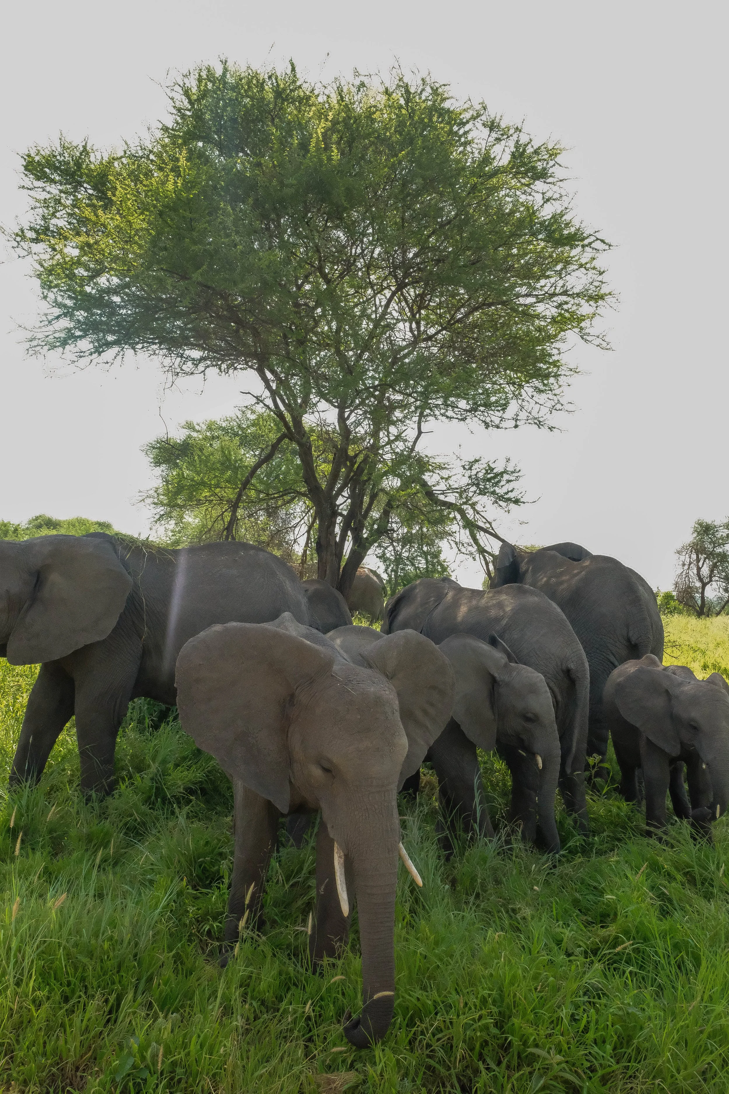
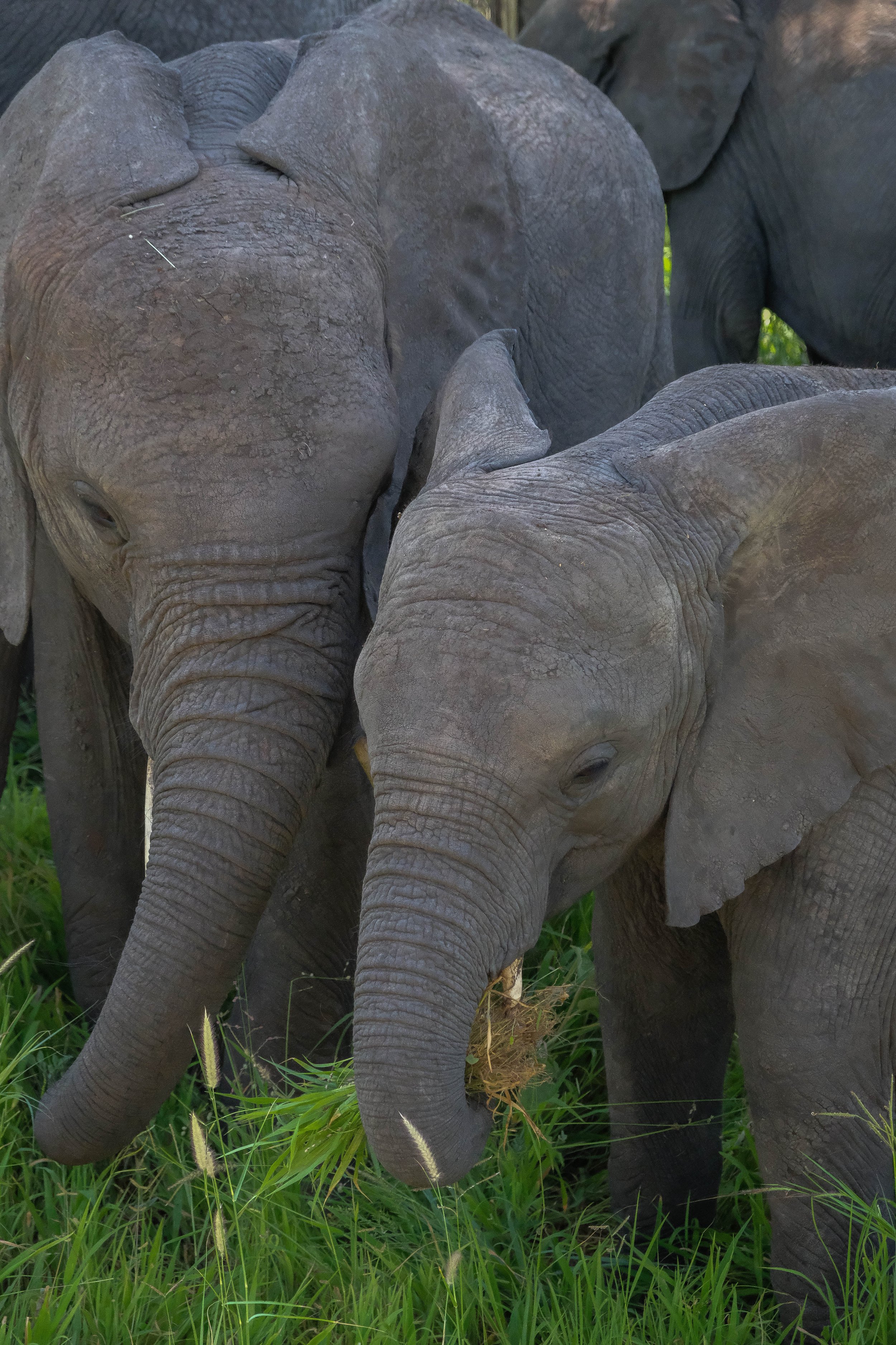
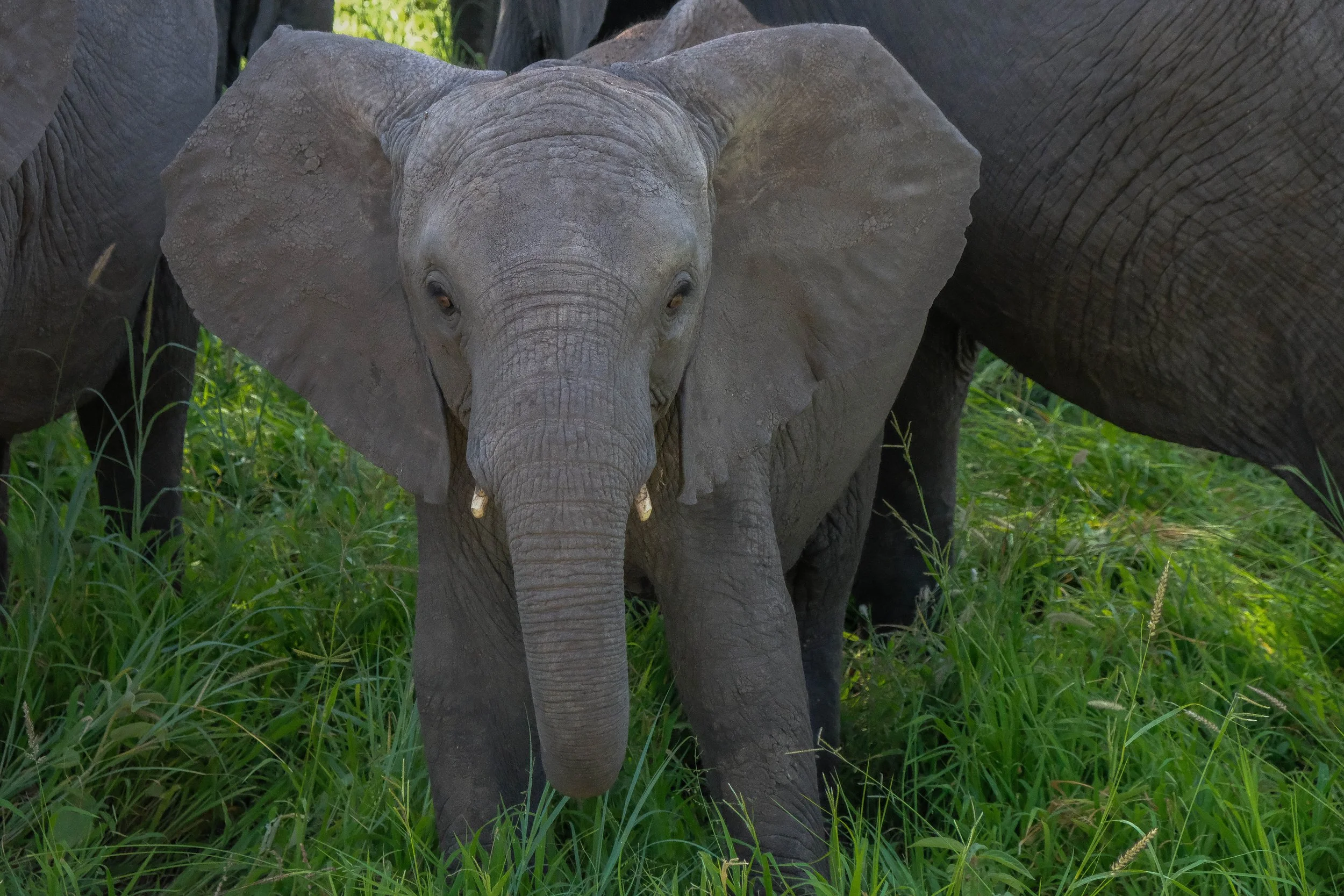
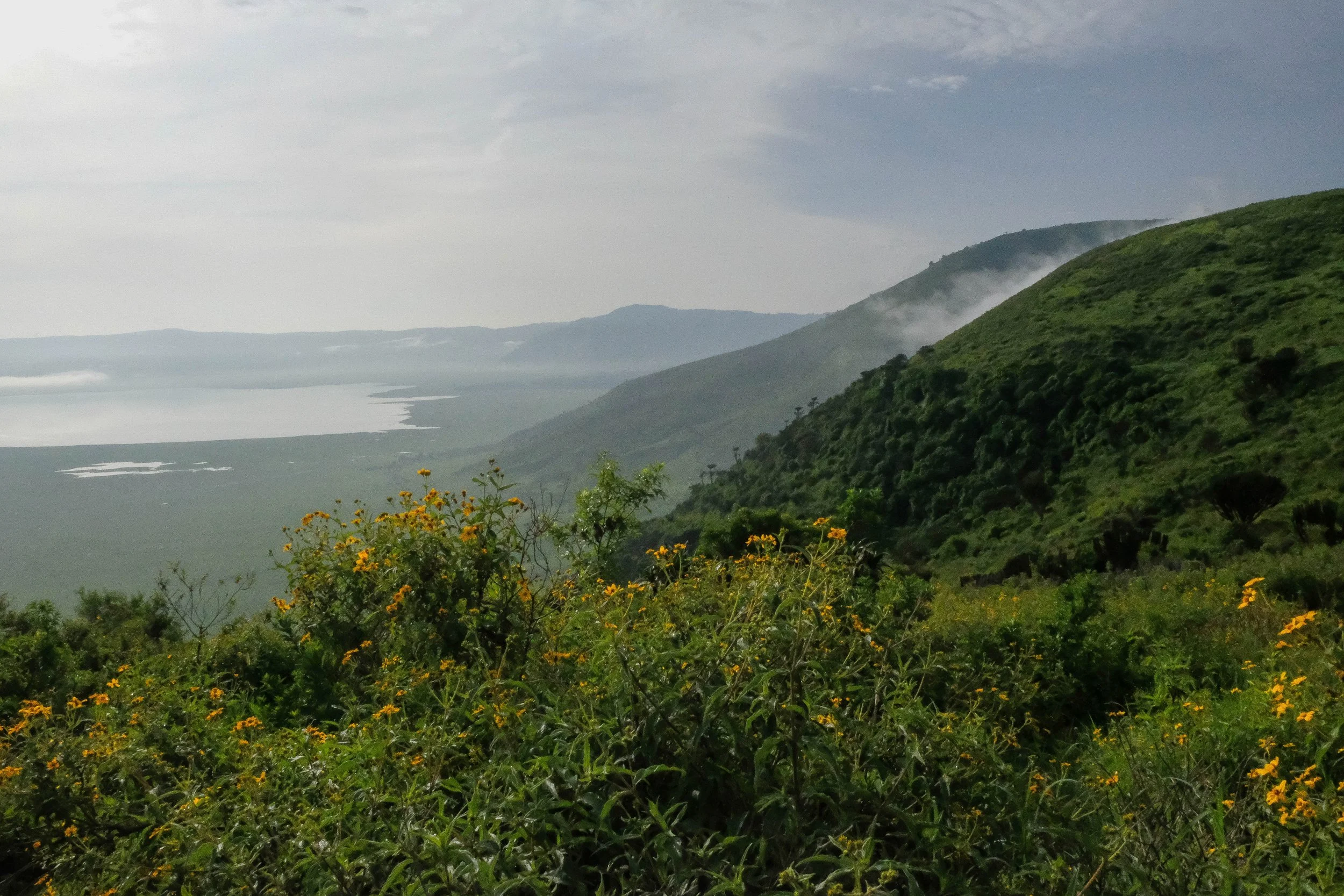
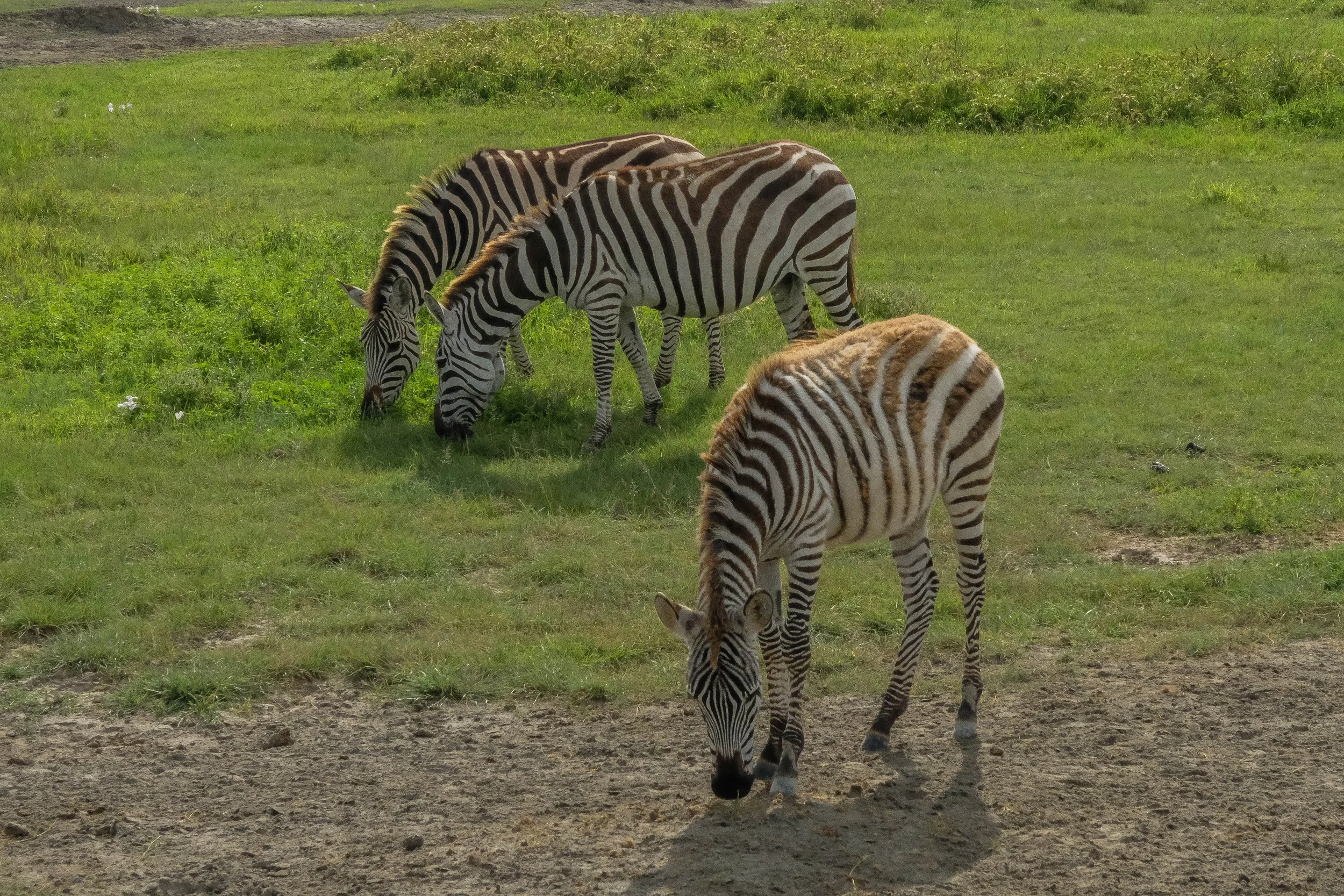
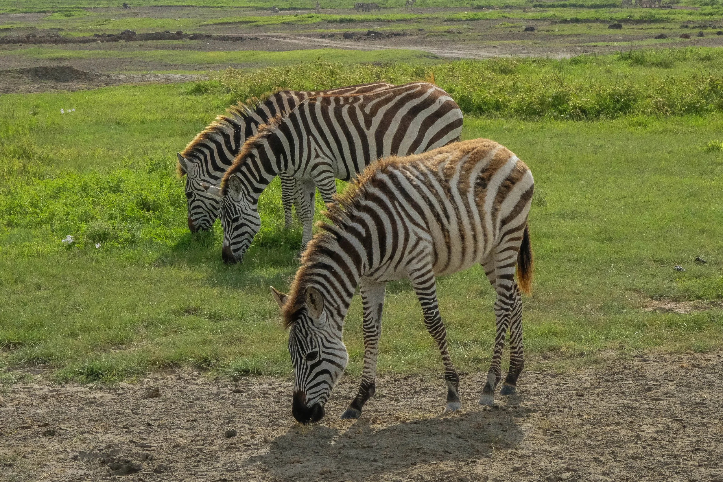
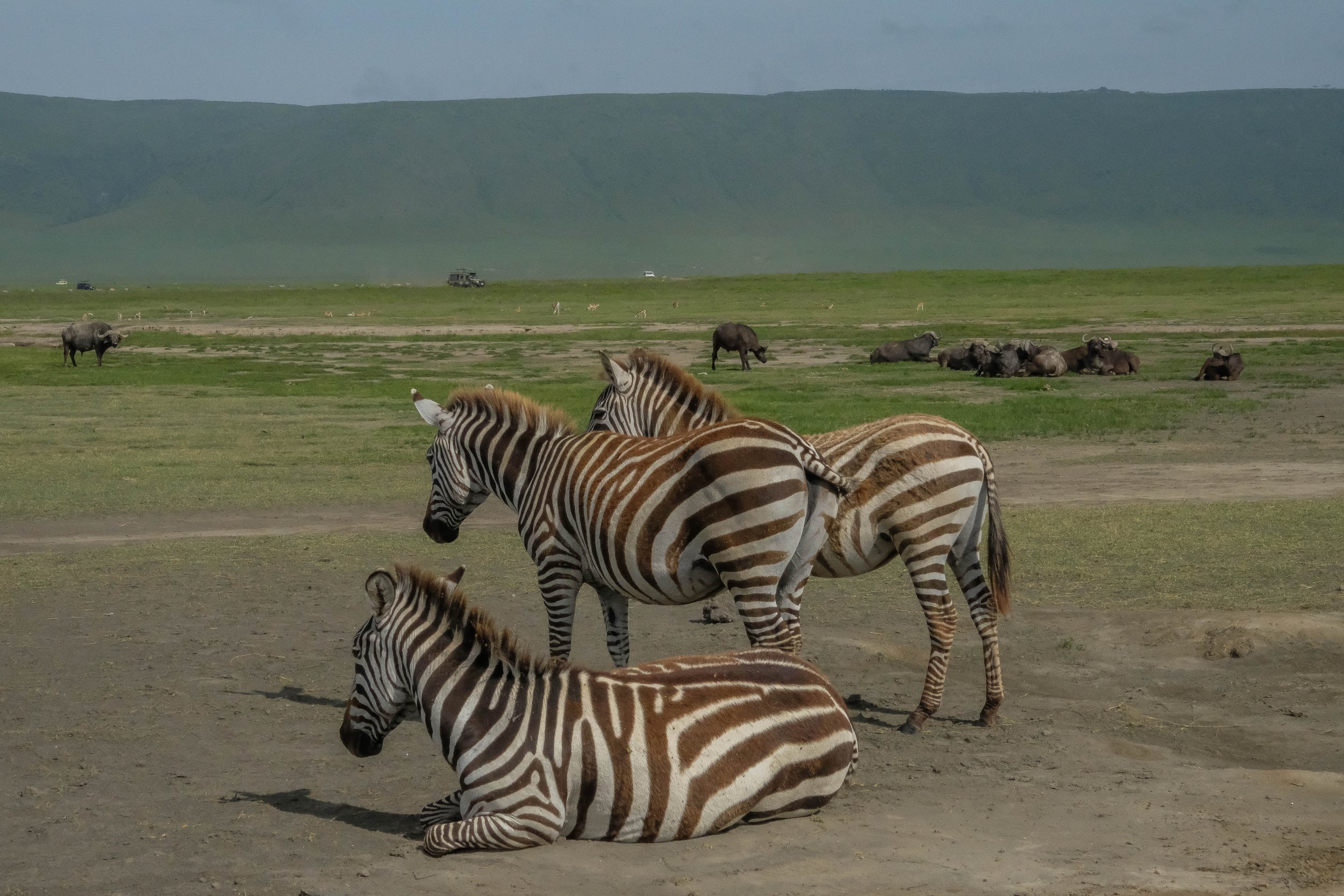
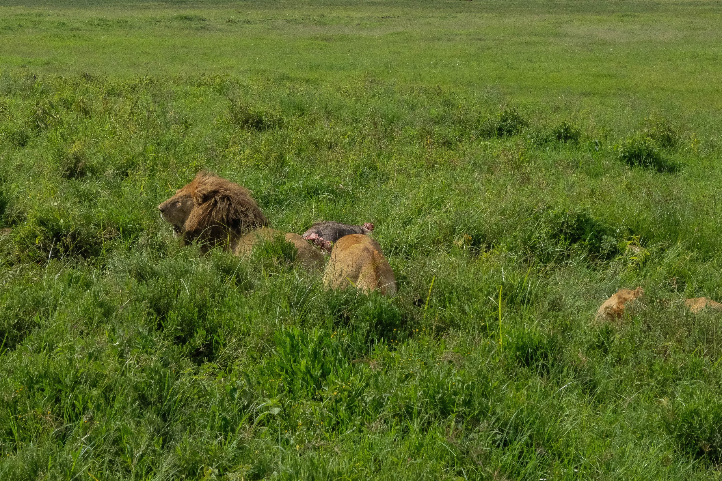
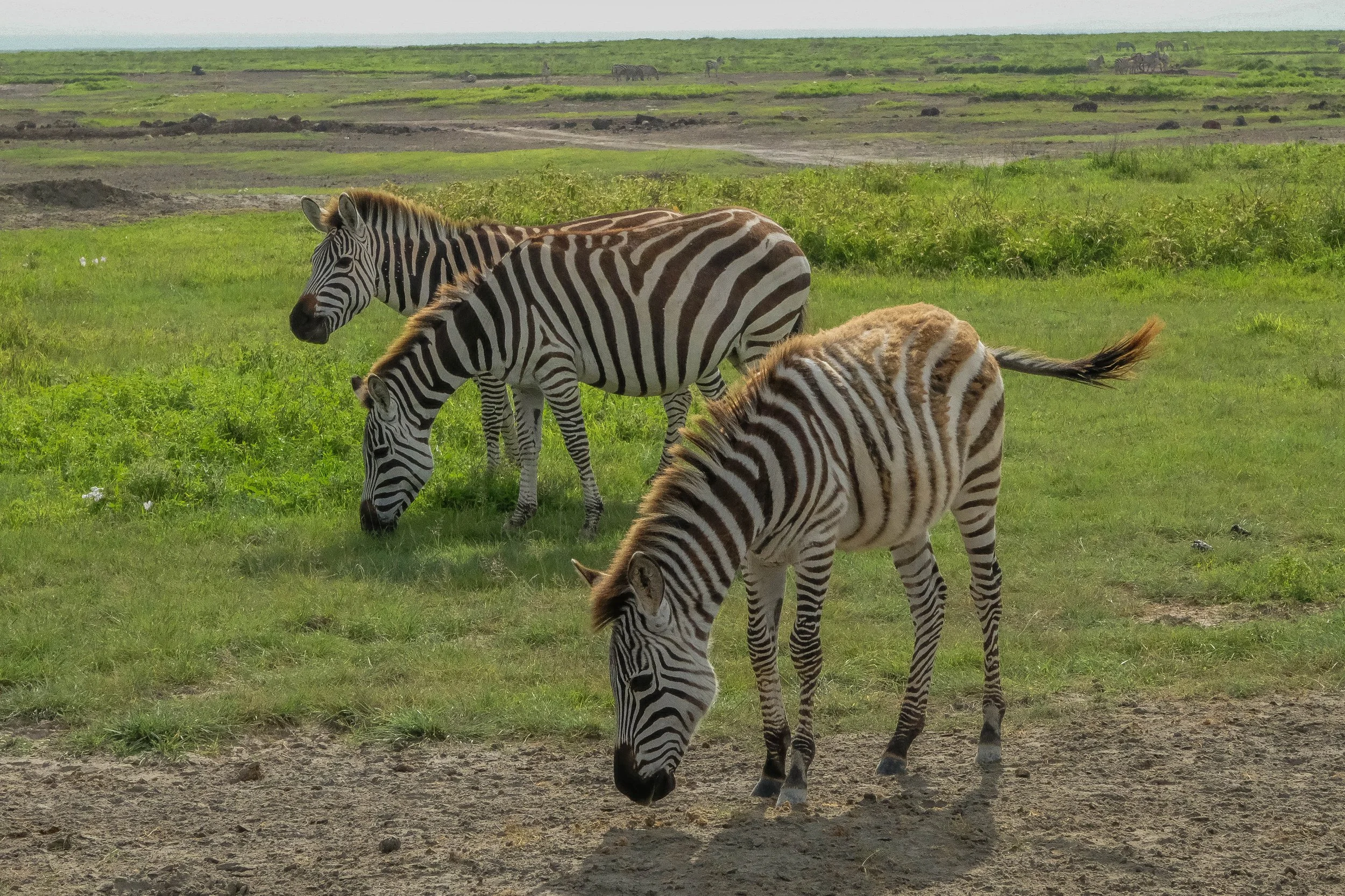
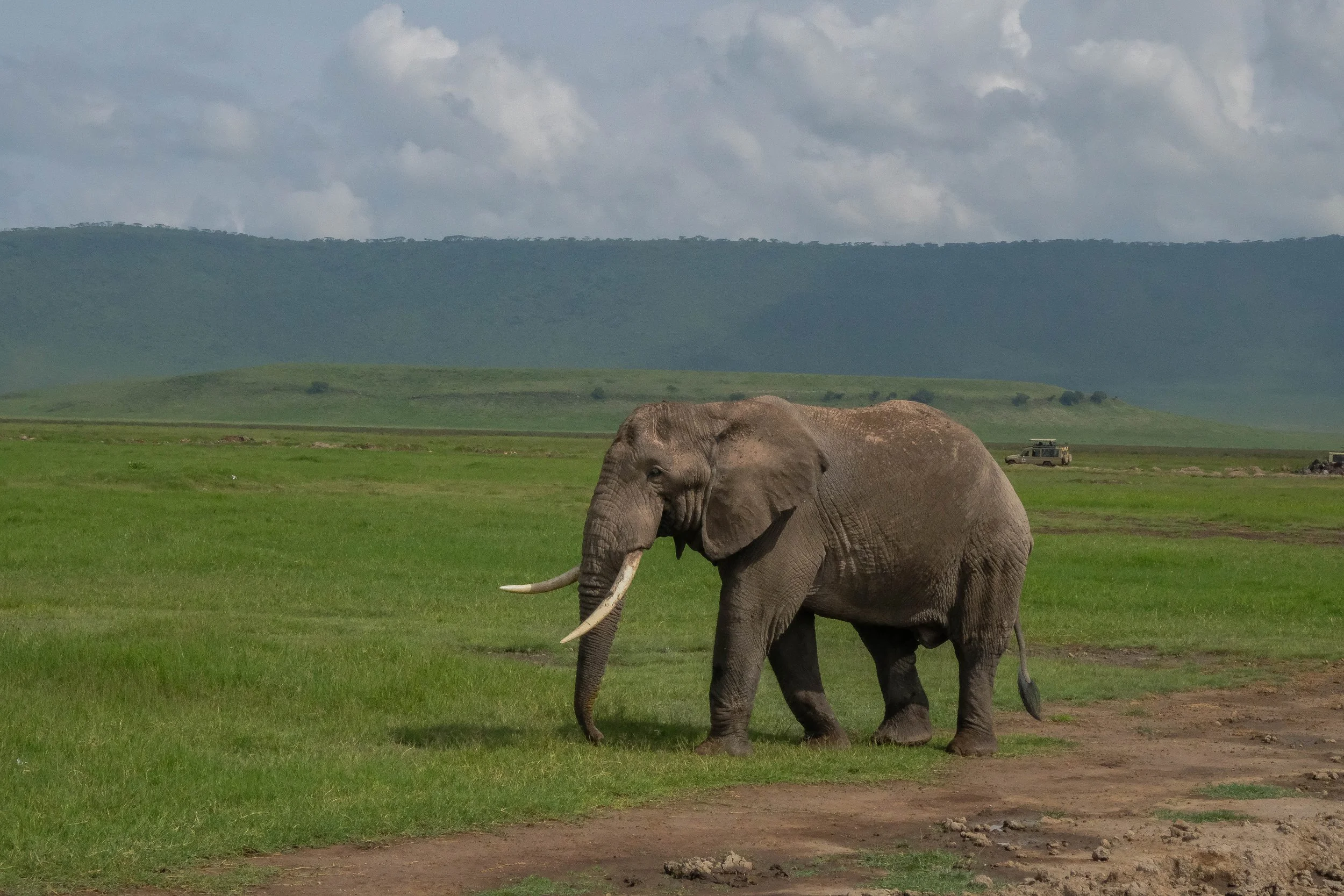
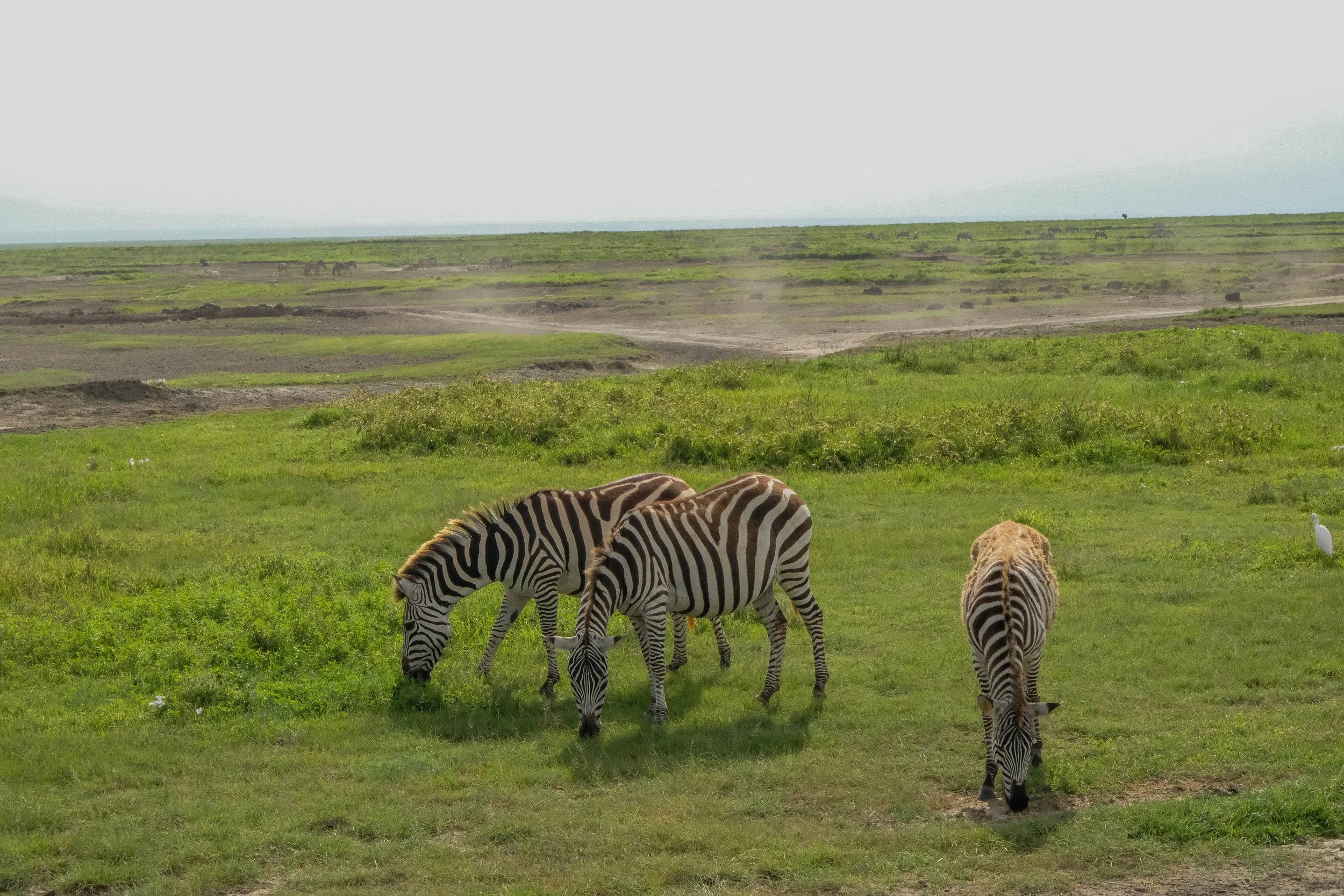
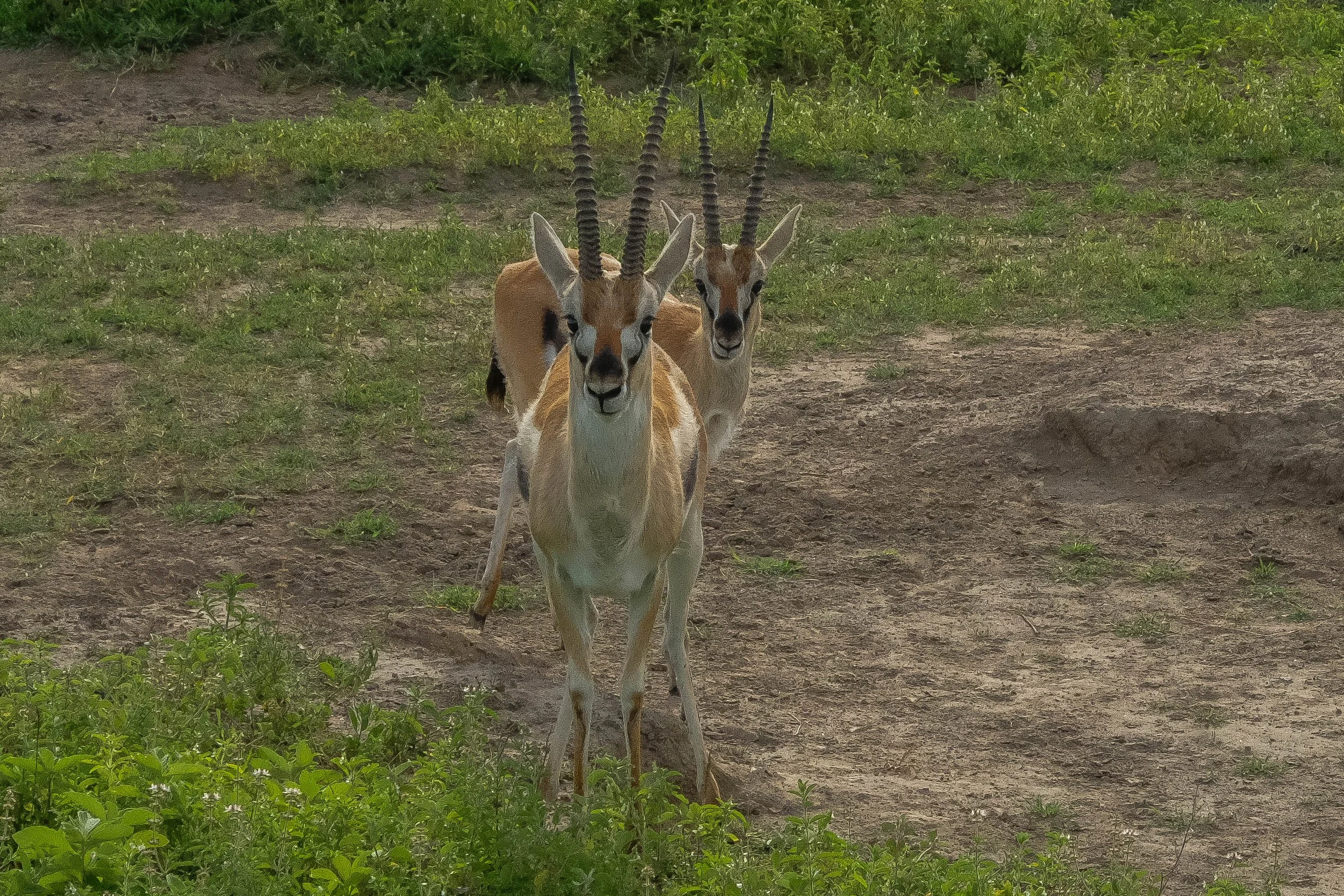
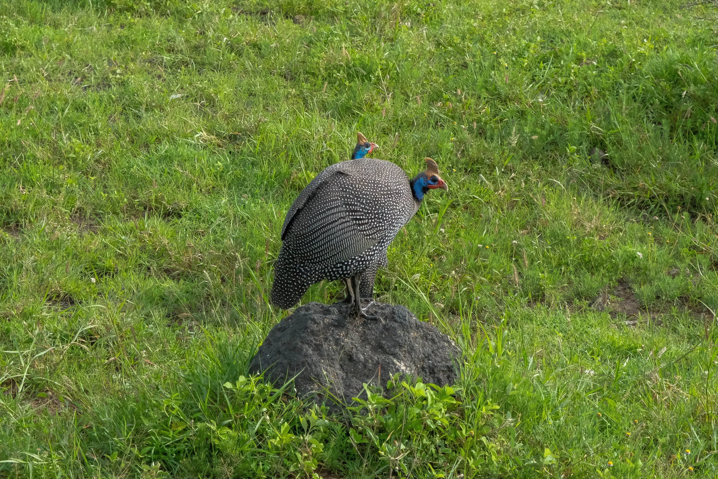
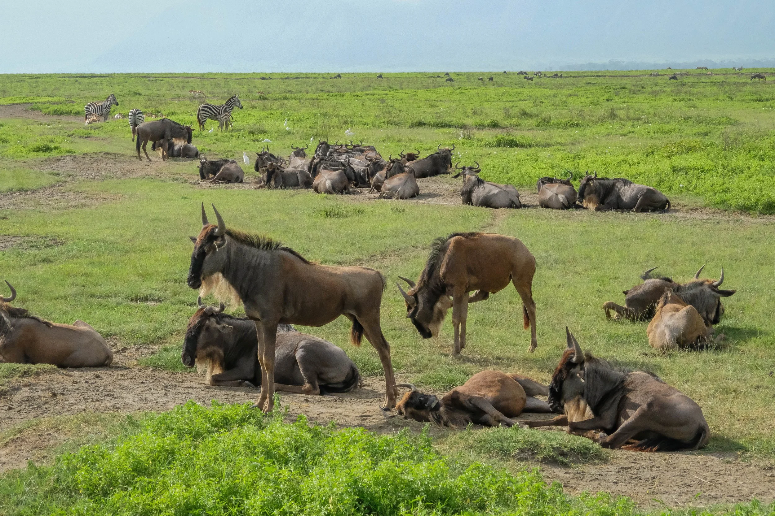
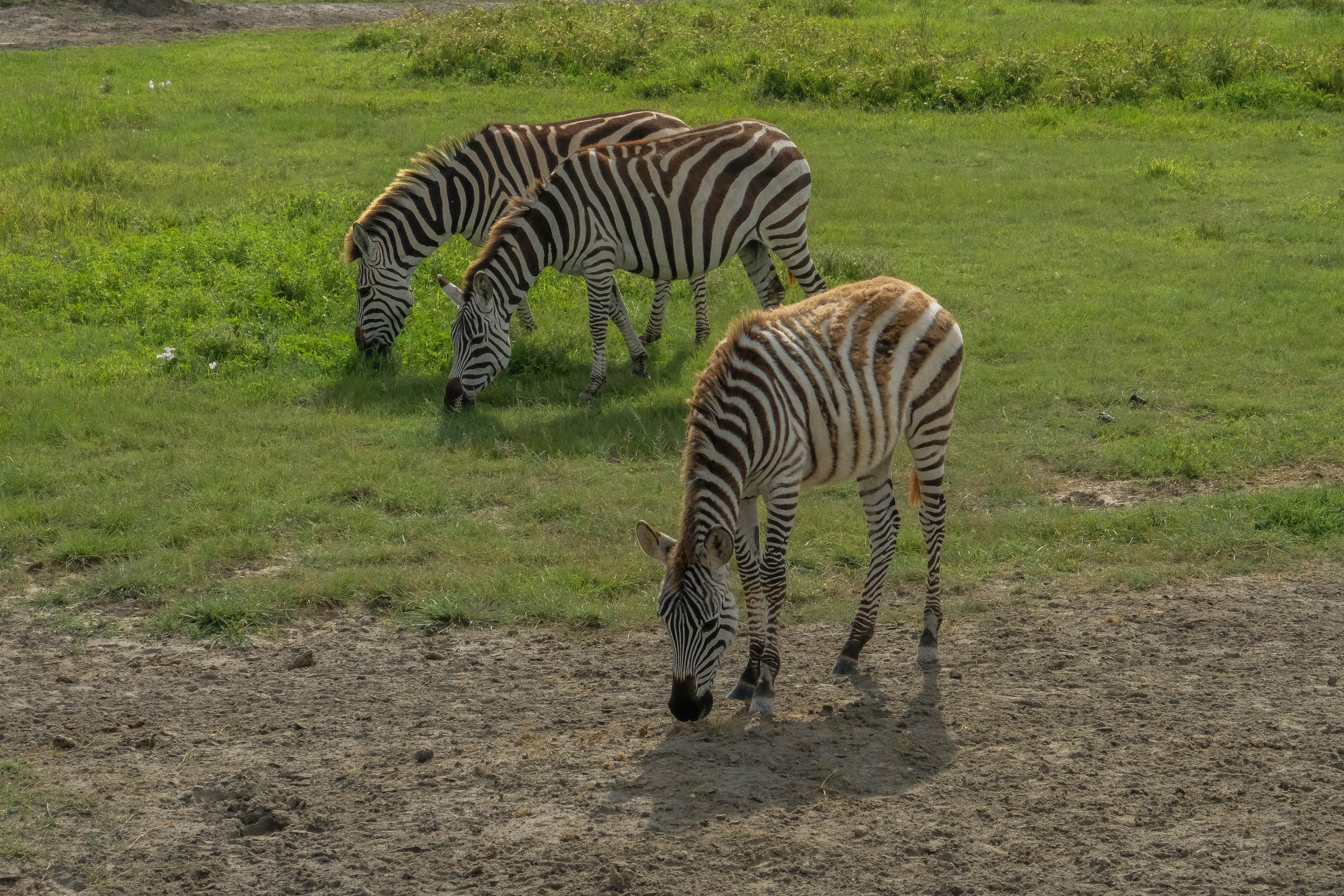
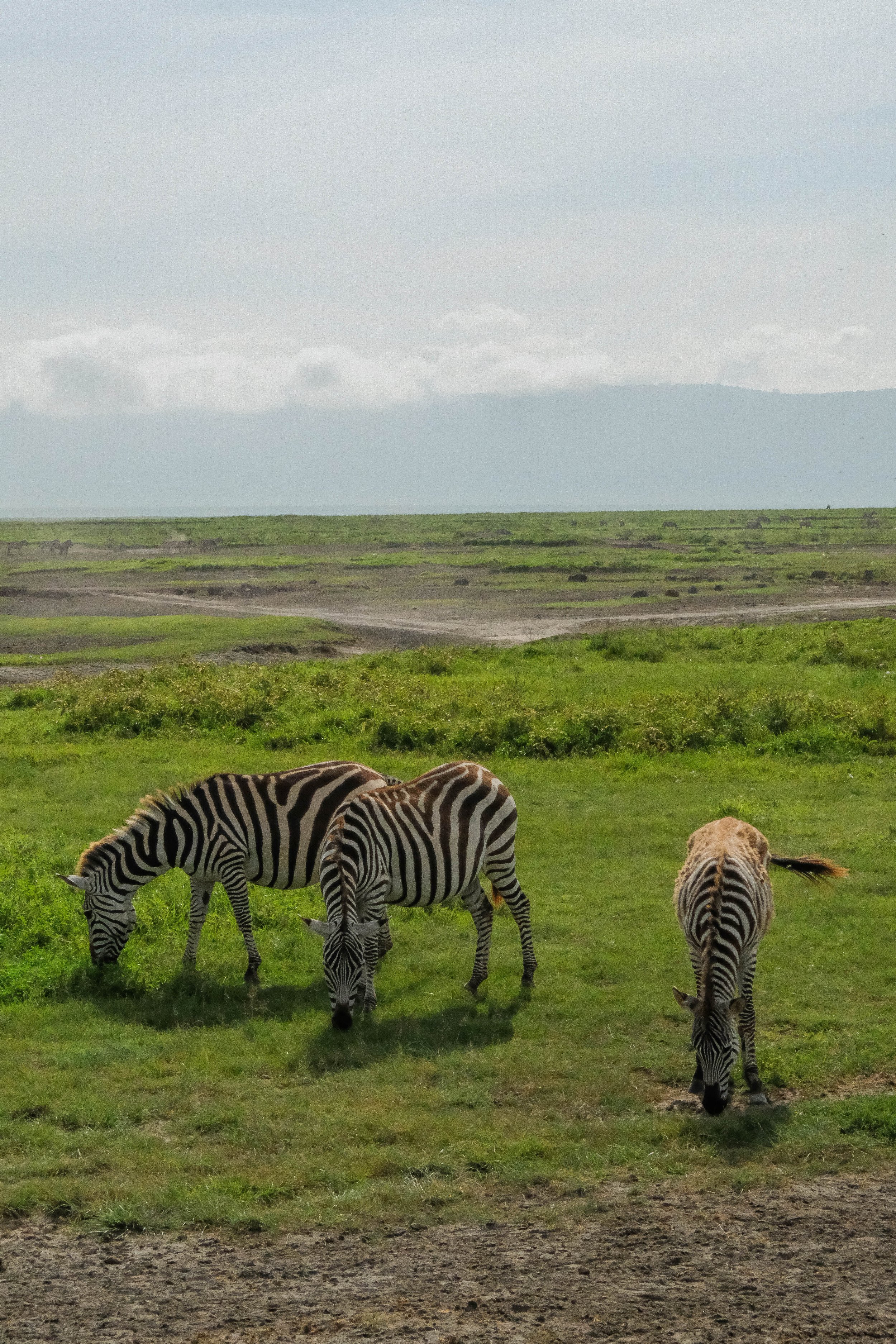
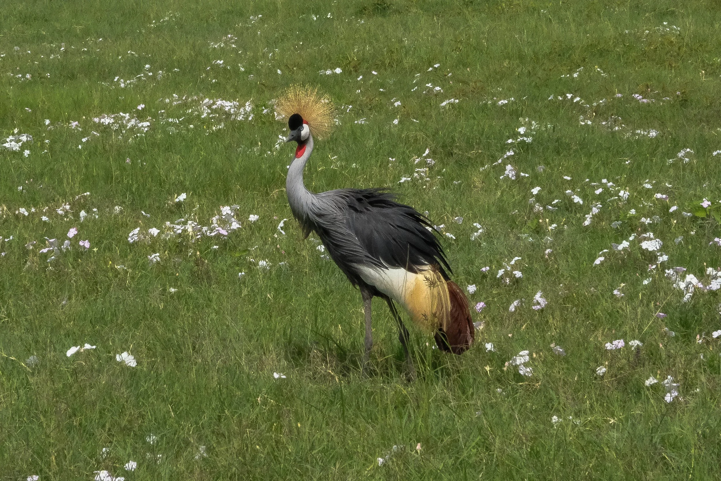
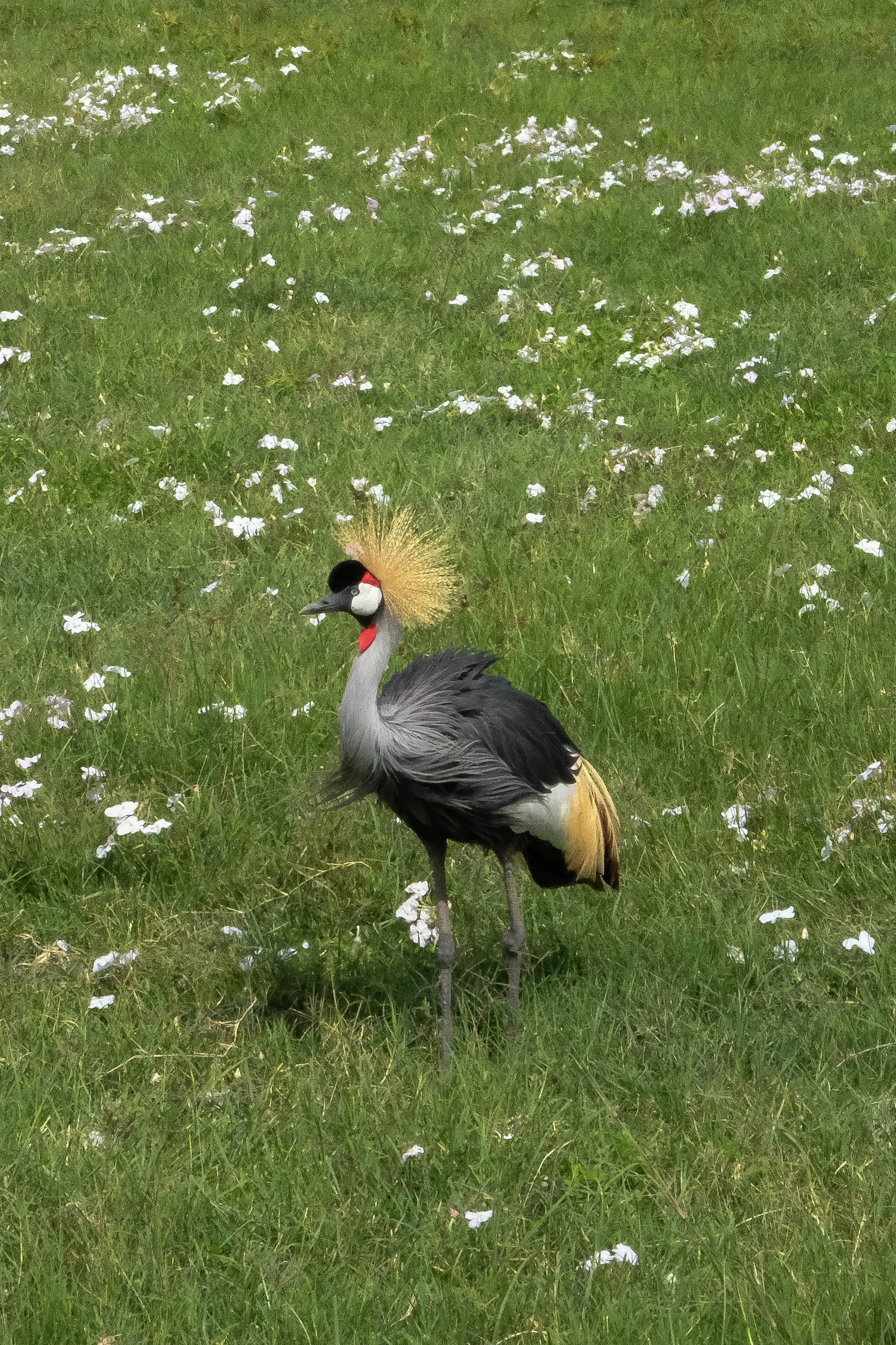
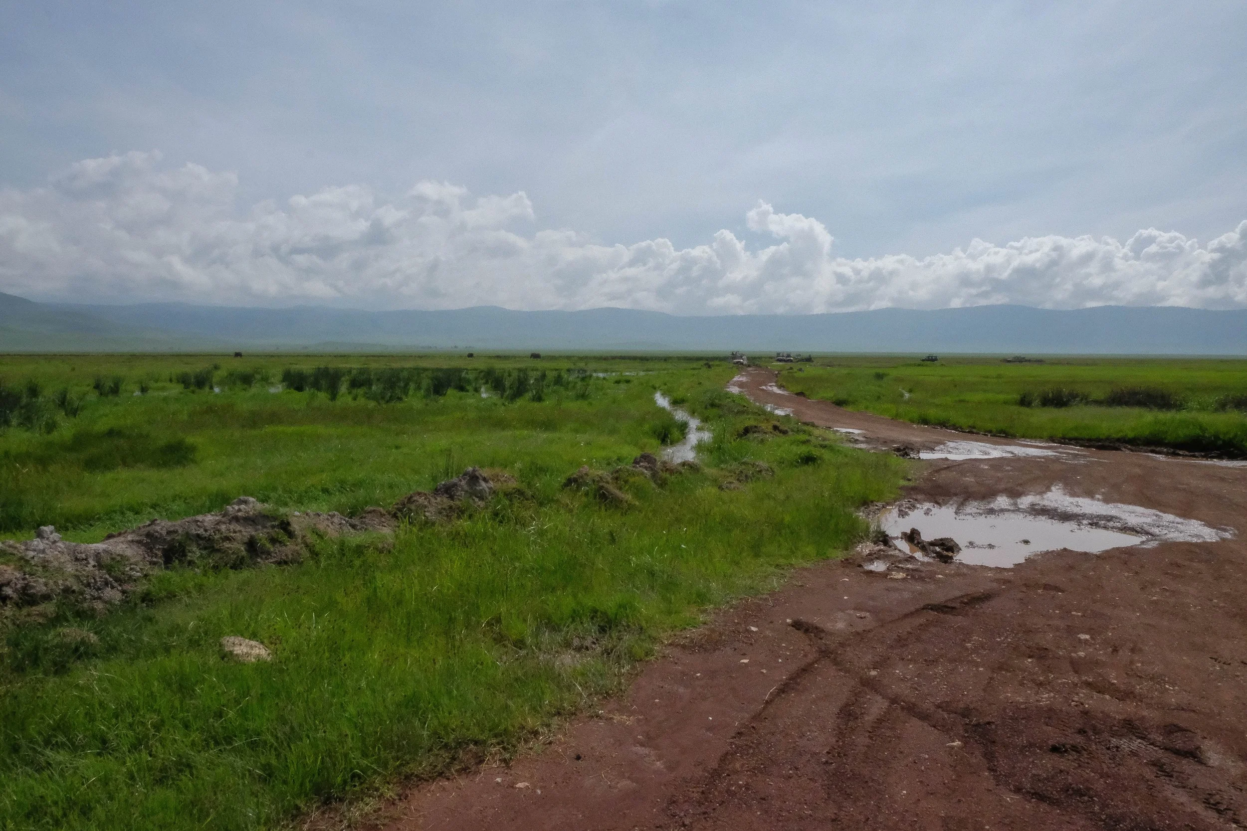
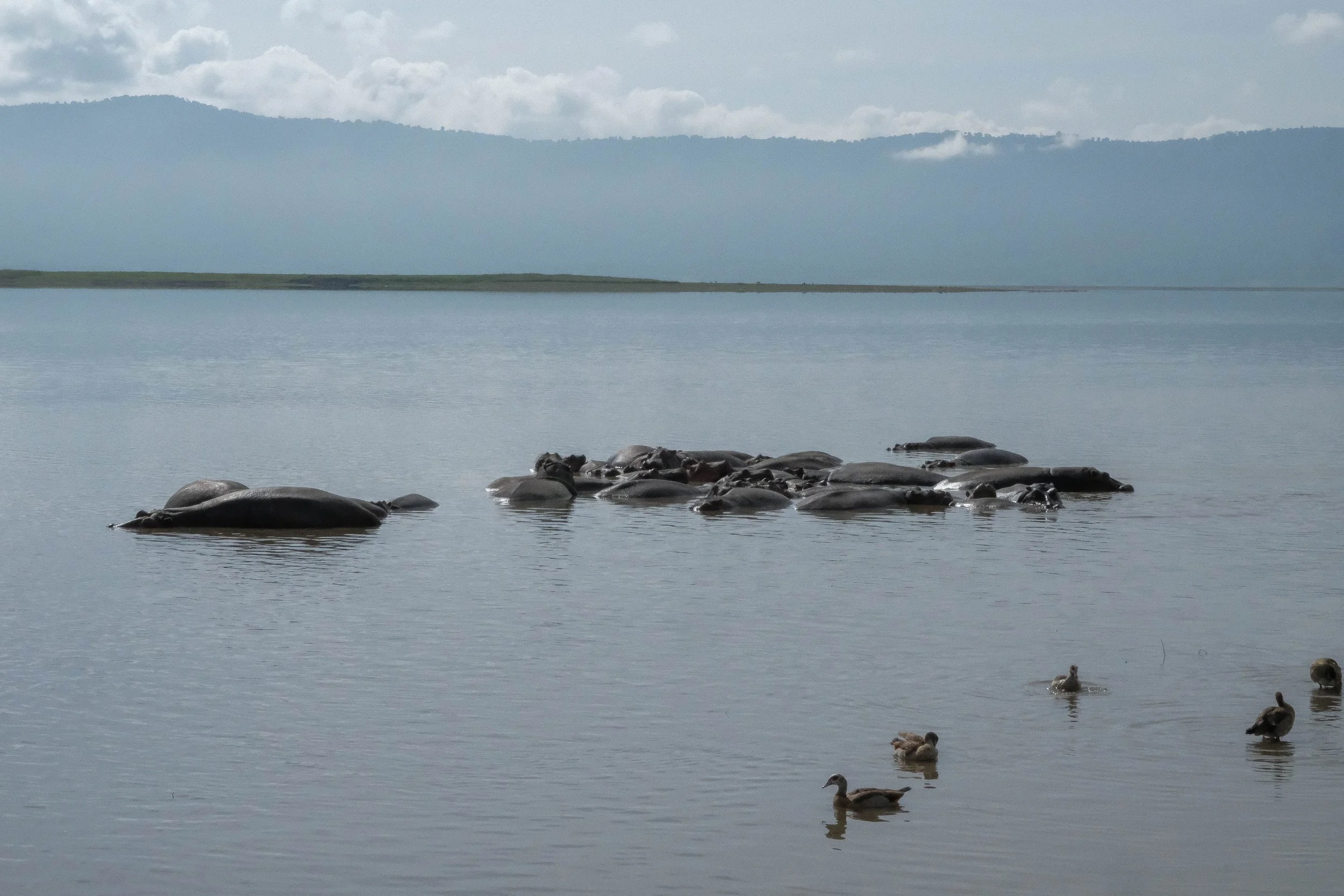
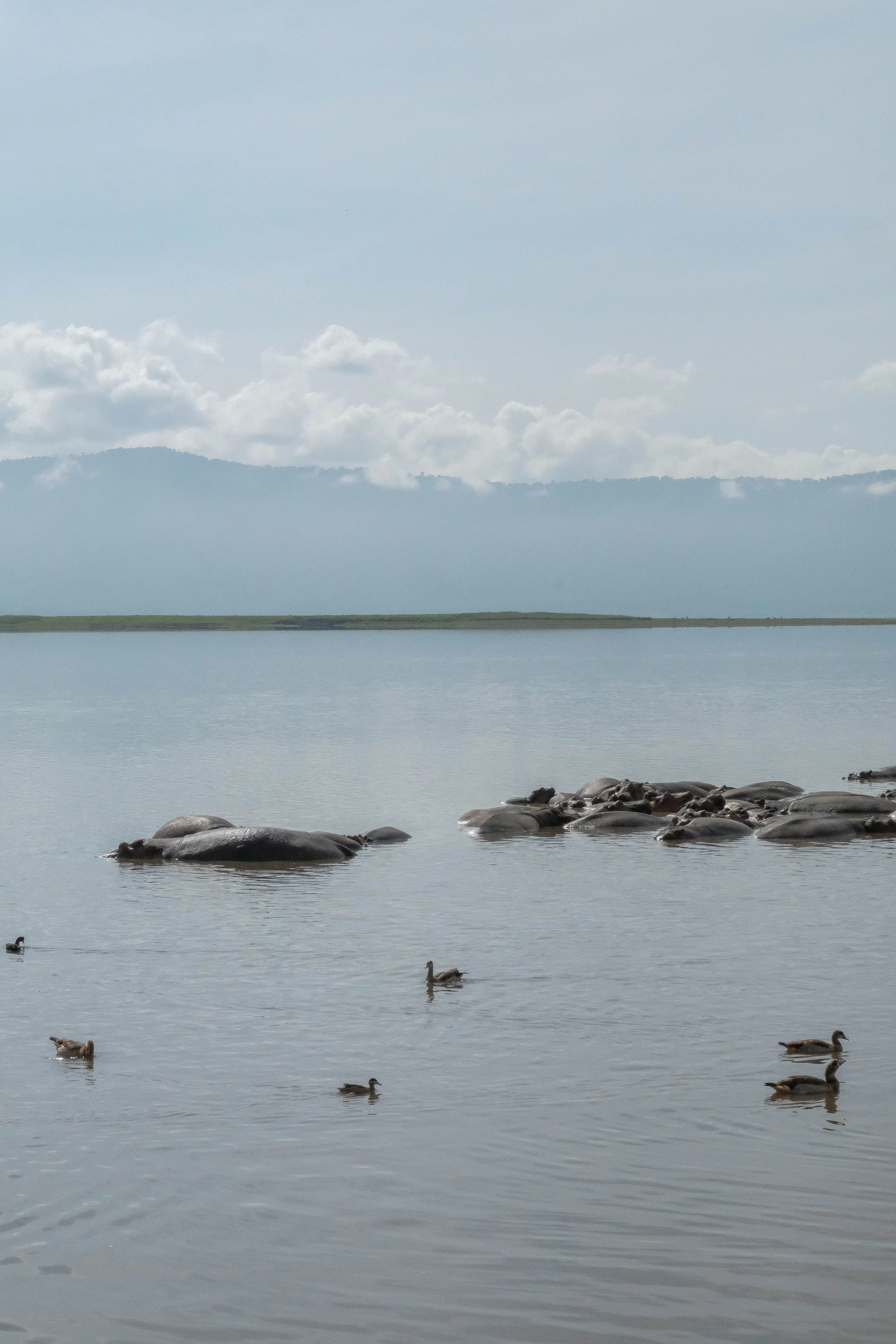
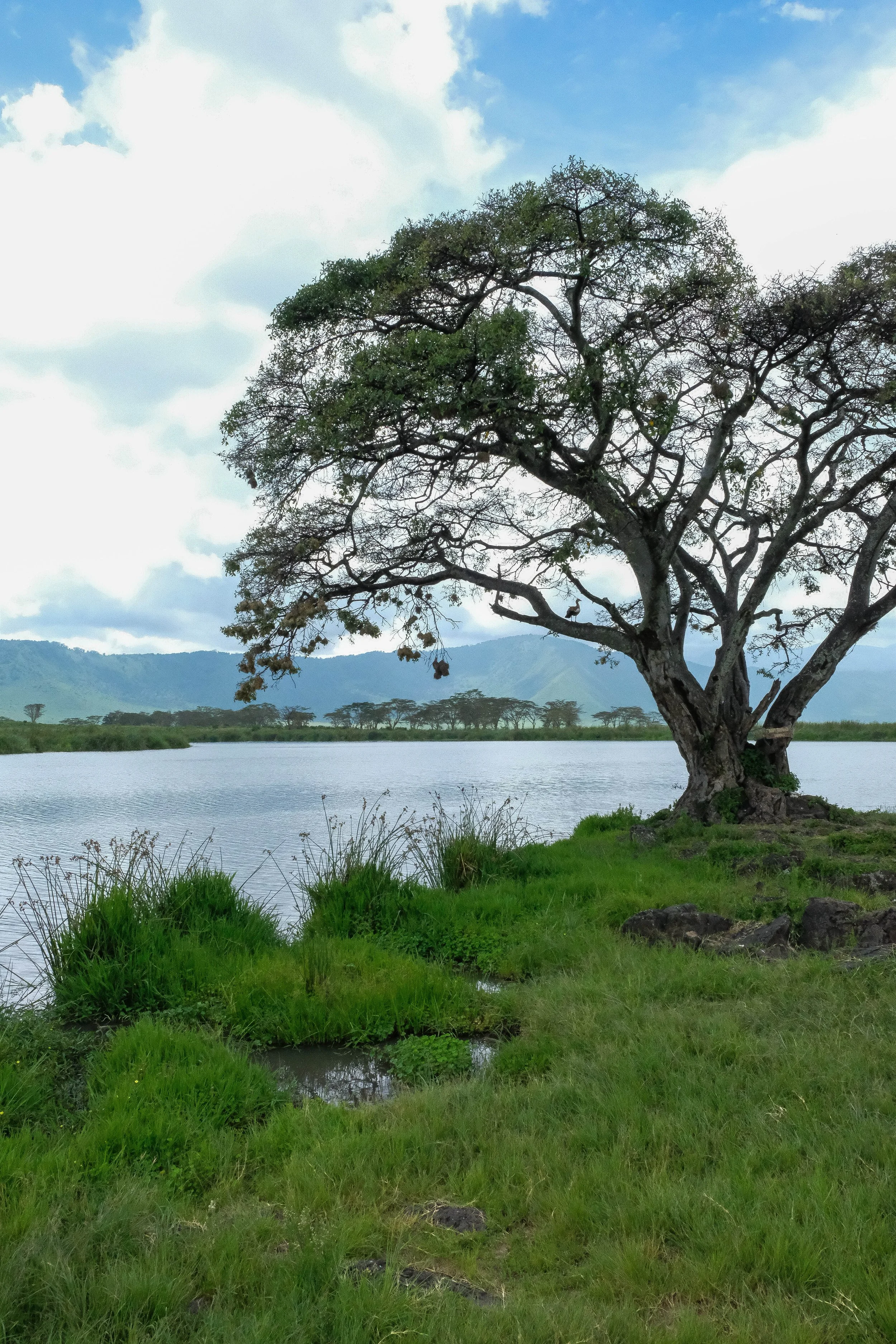
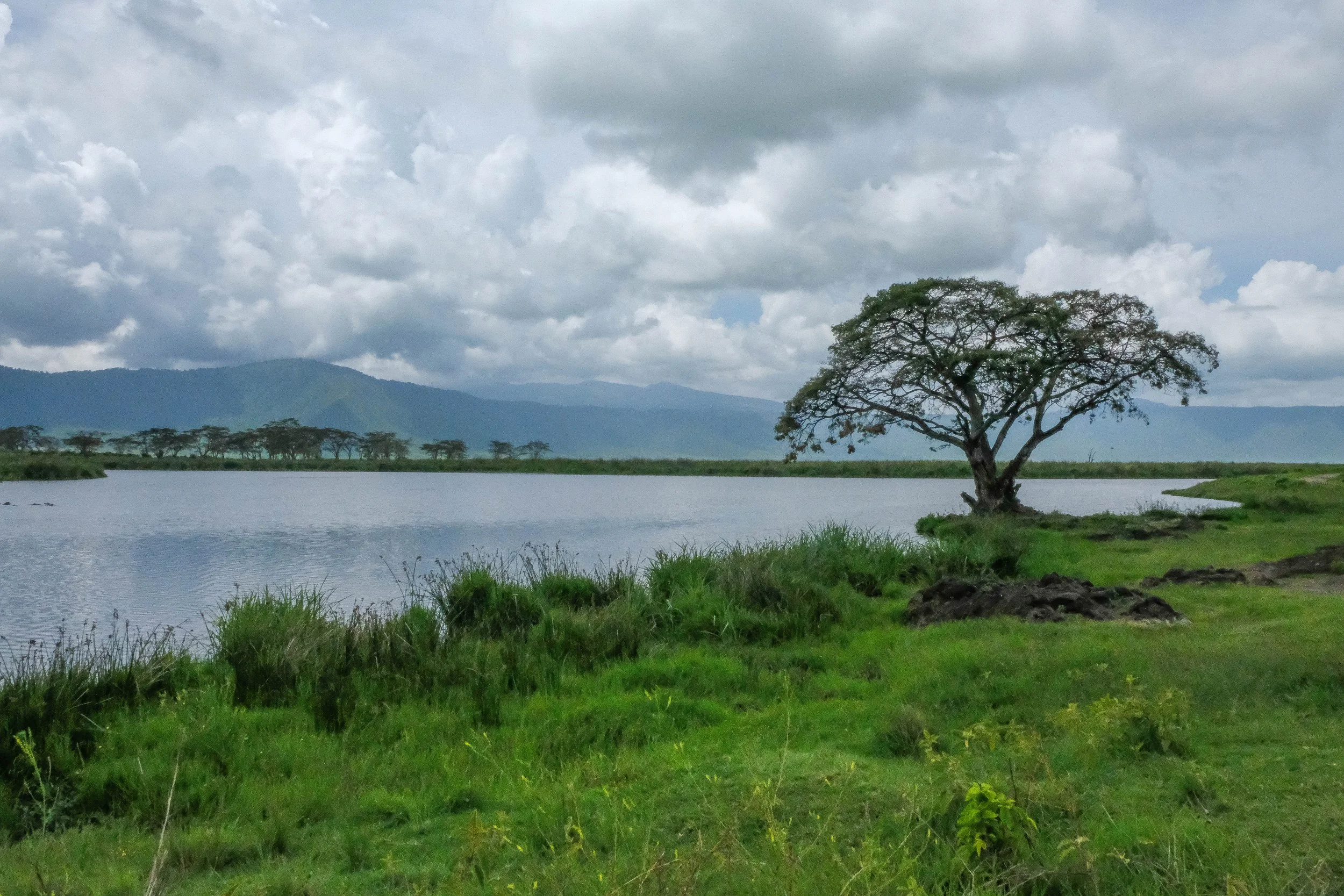
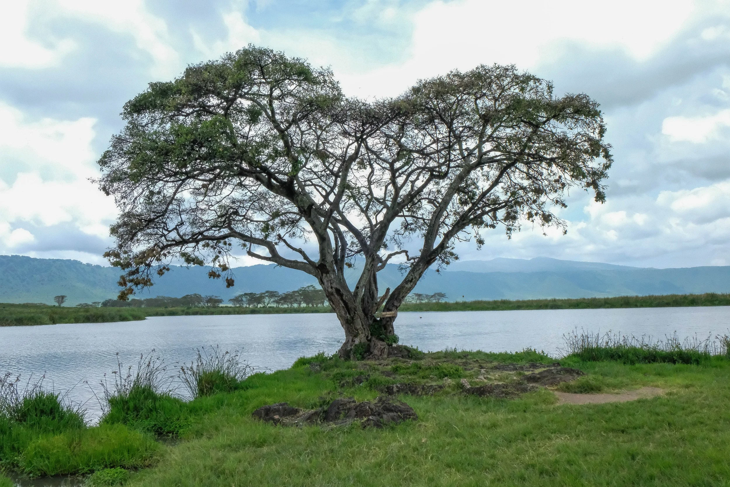
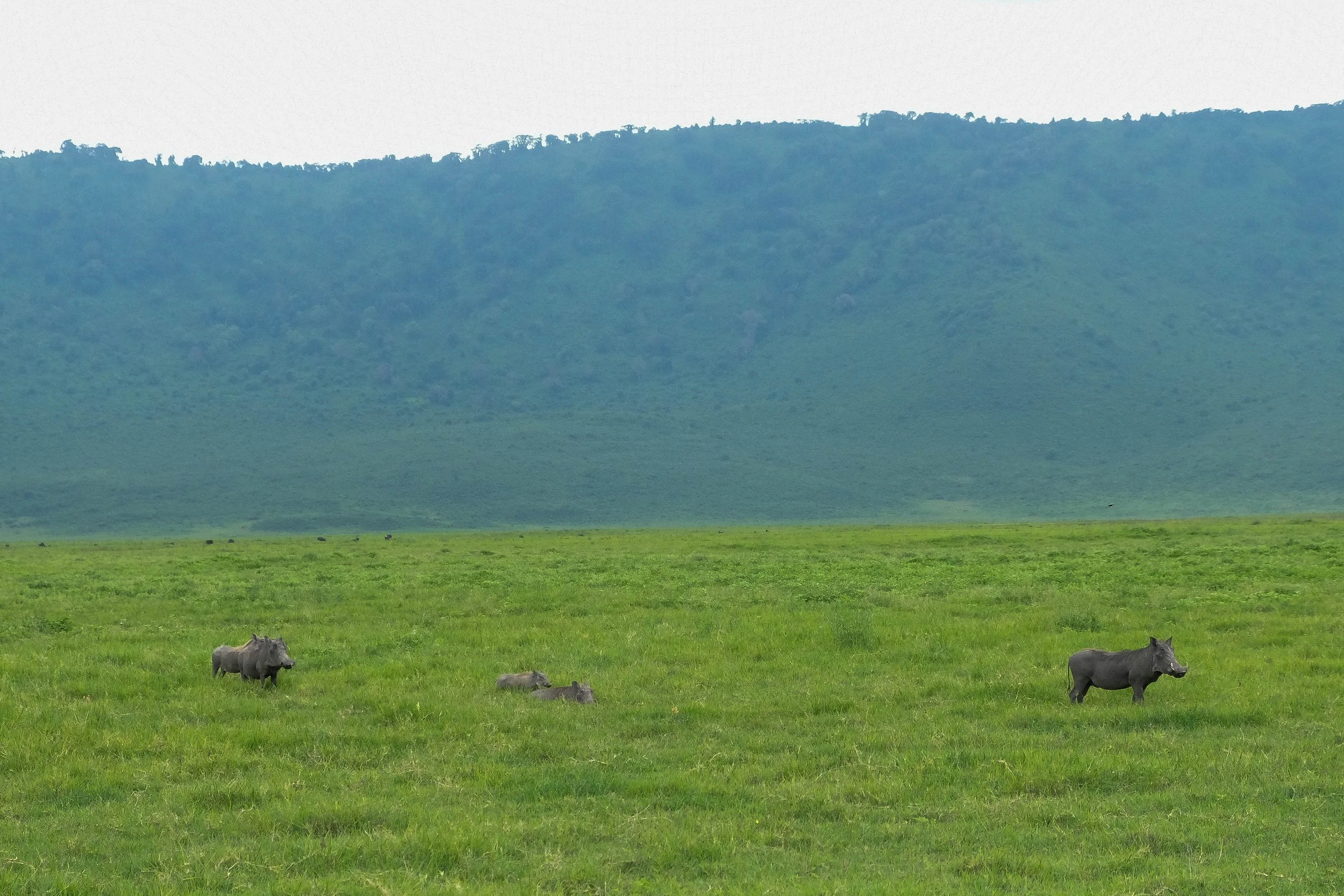
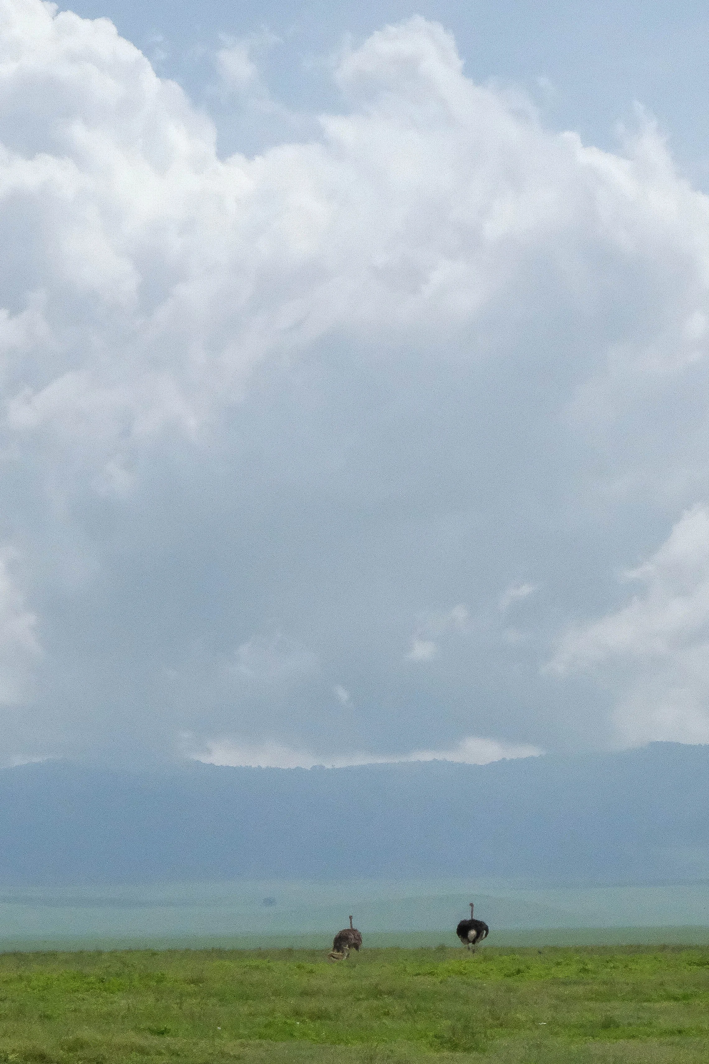
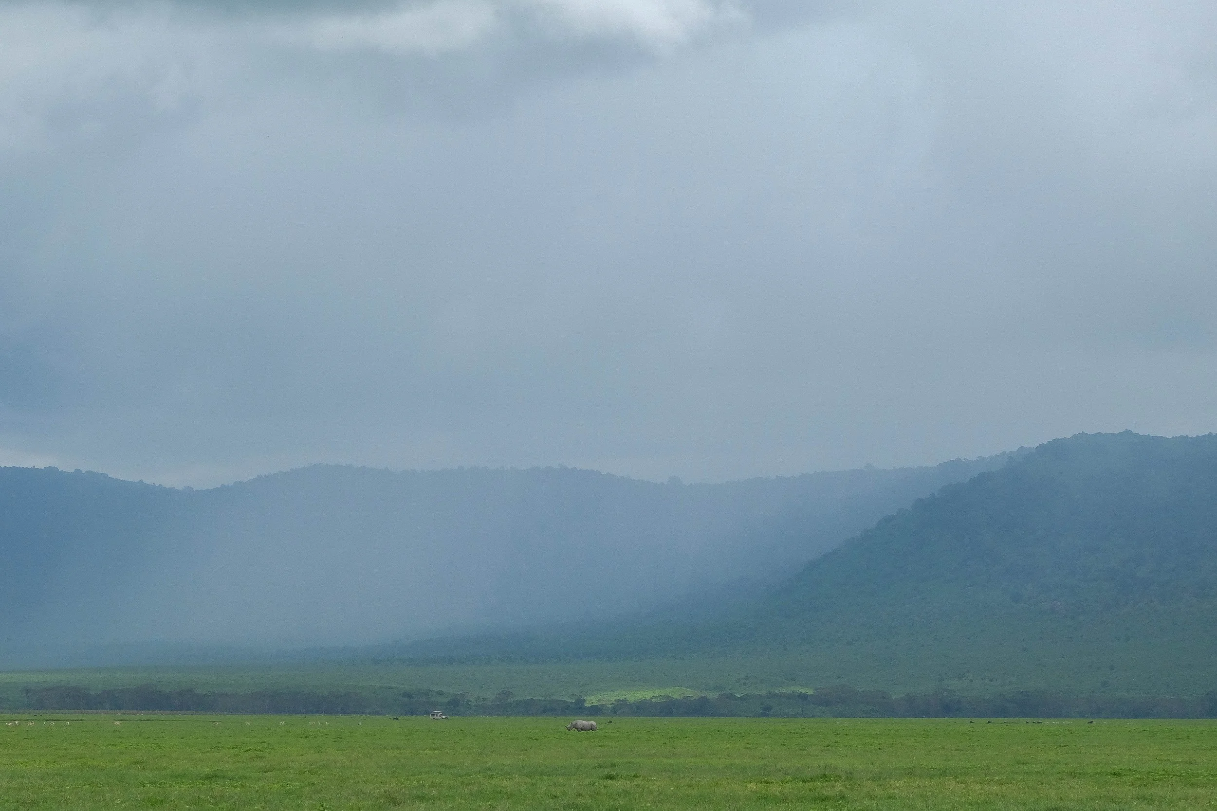
Tarangire National Park & Ngorongoro Crater Conservation Area
Mafia Island & Zanzibar
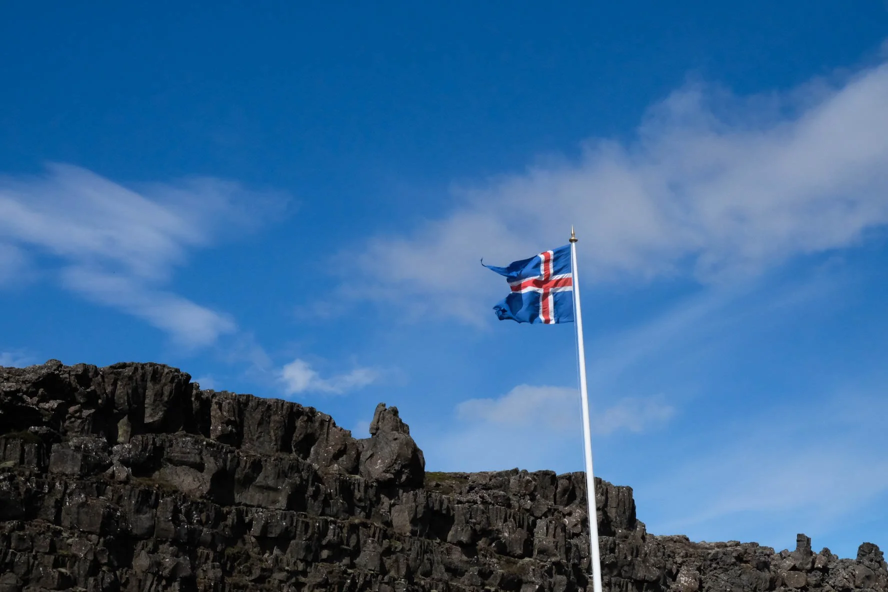
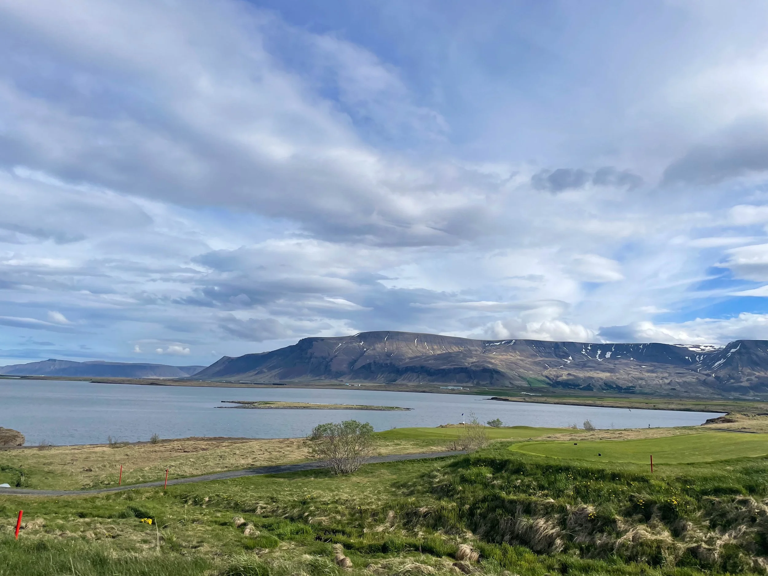
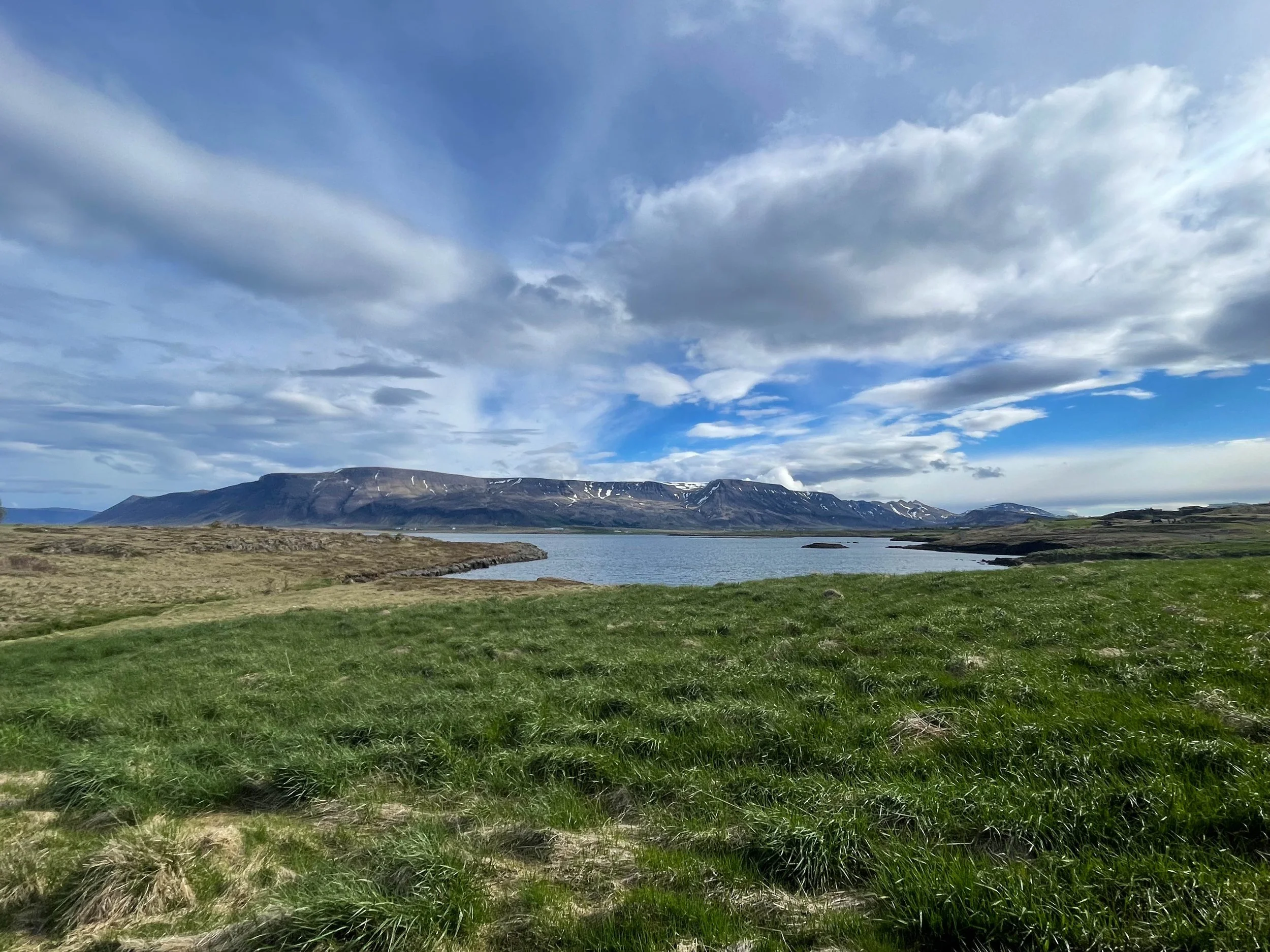
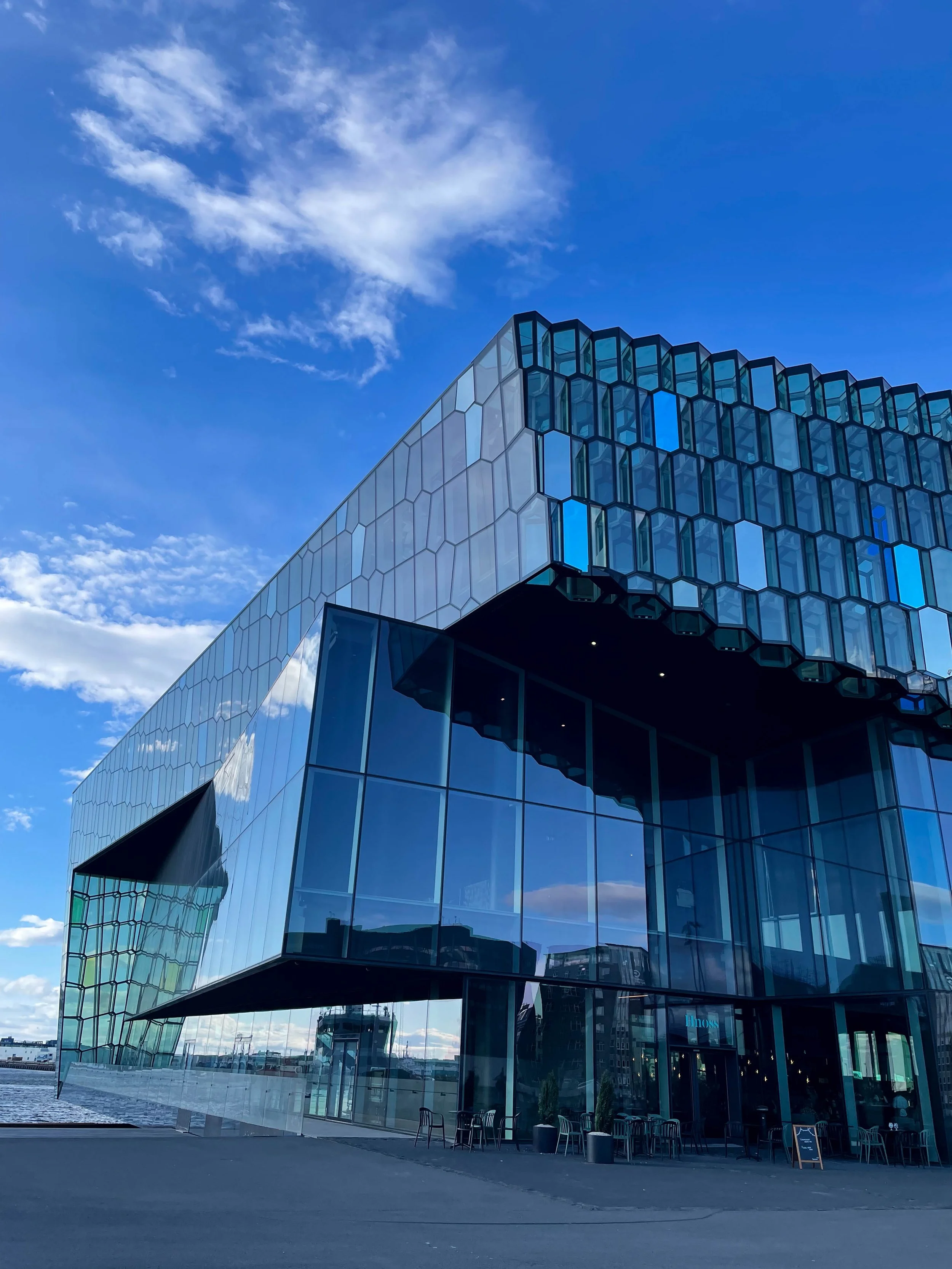
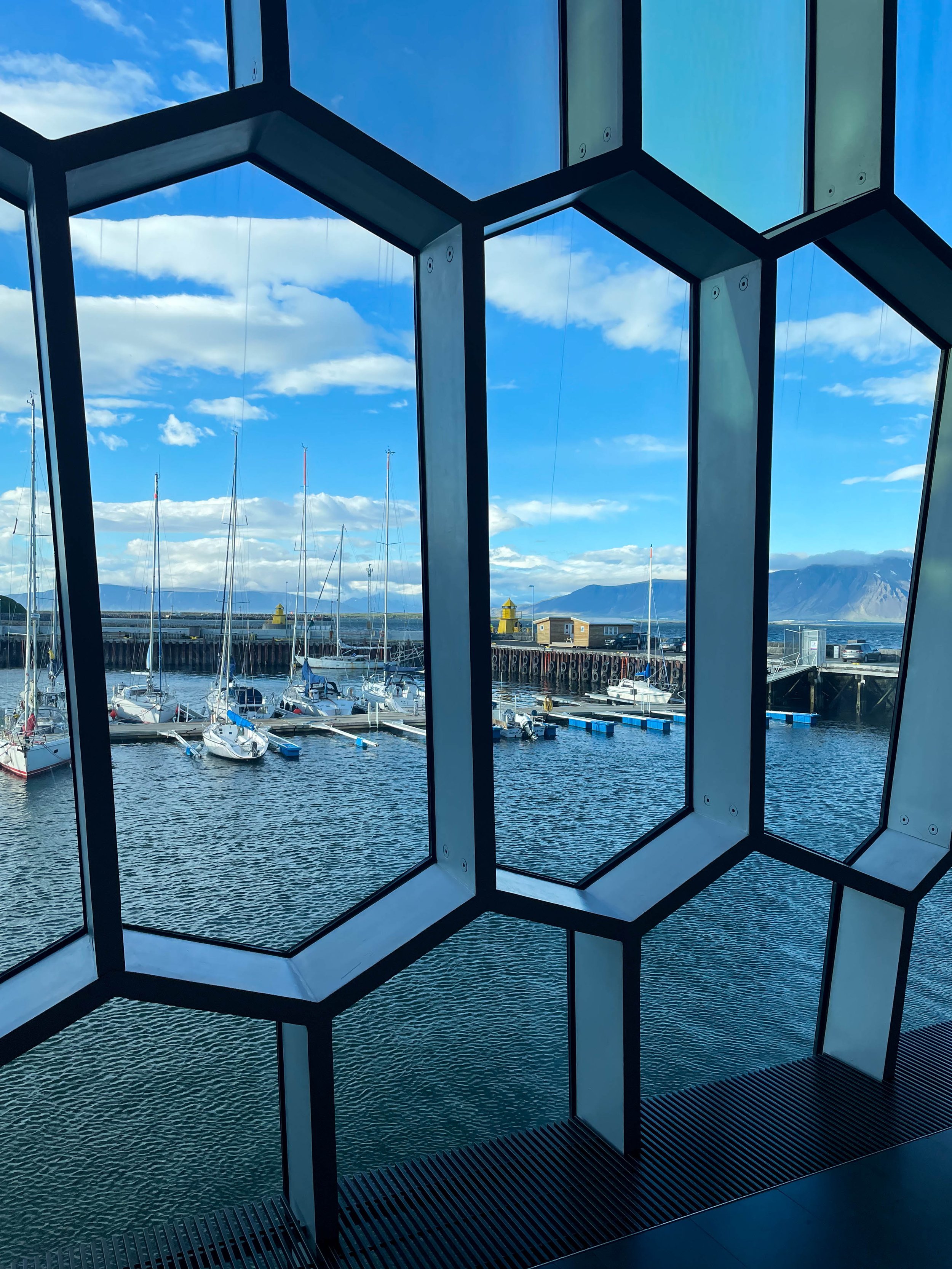
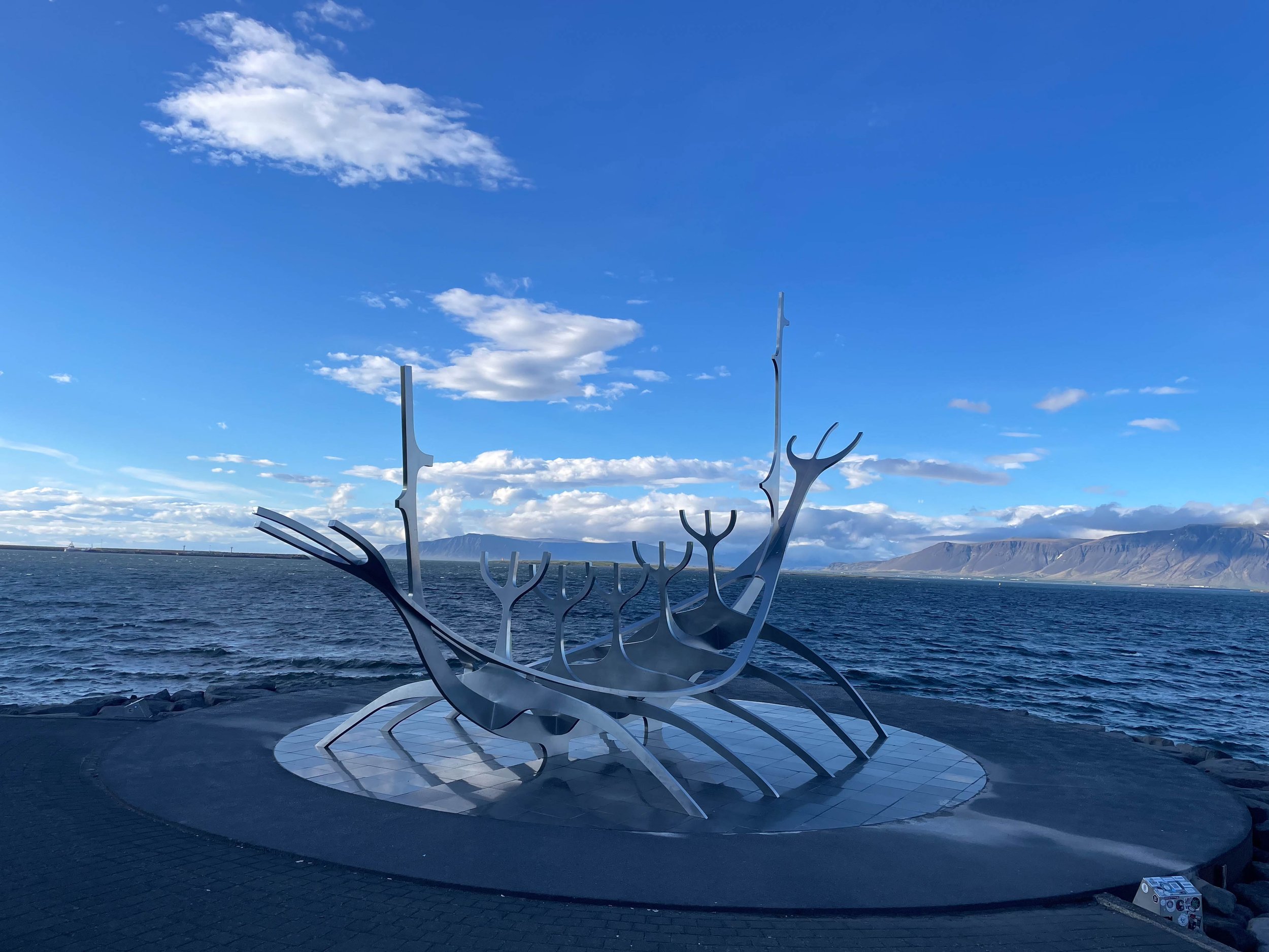
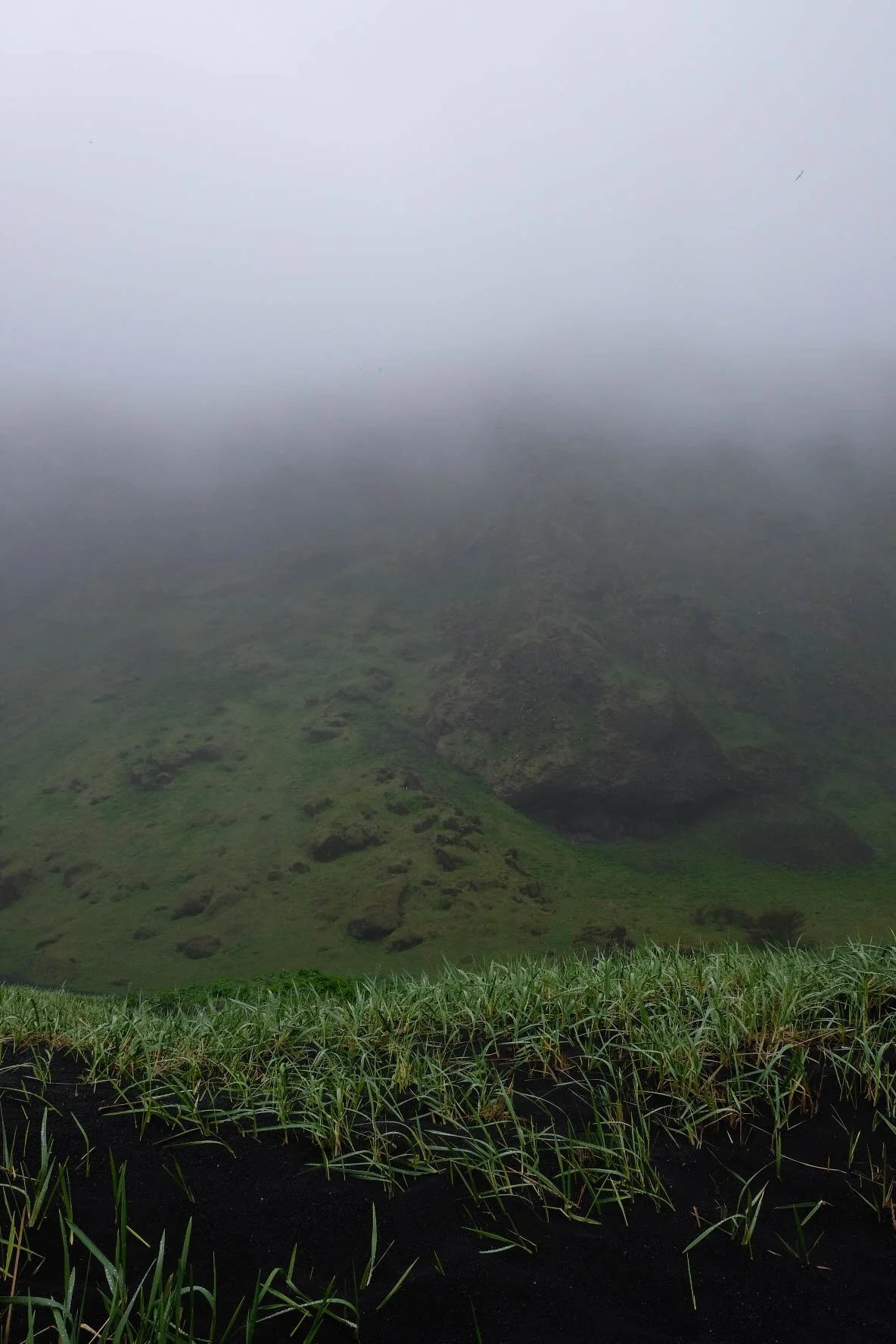
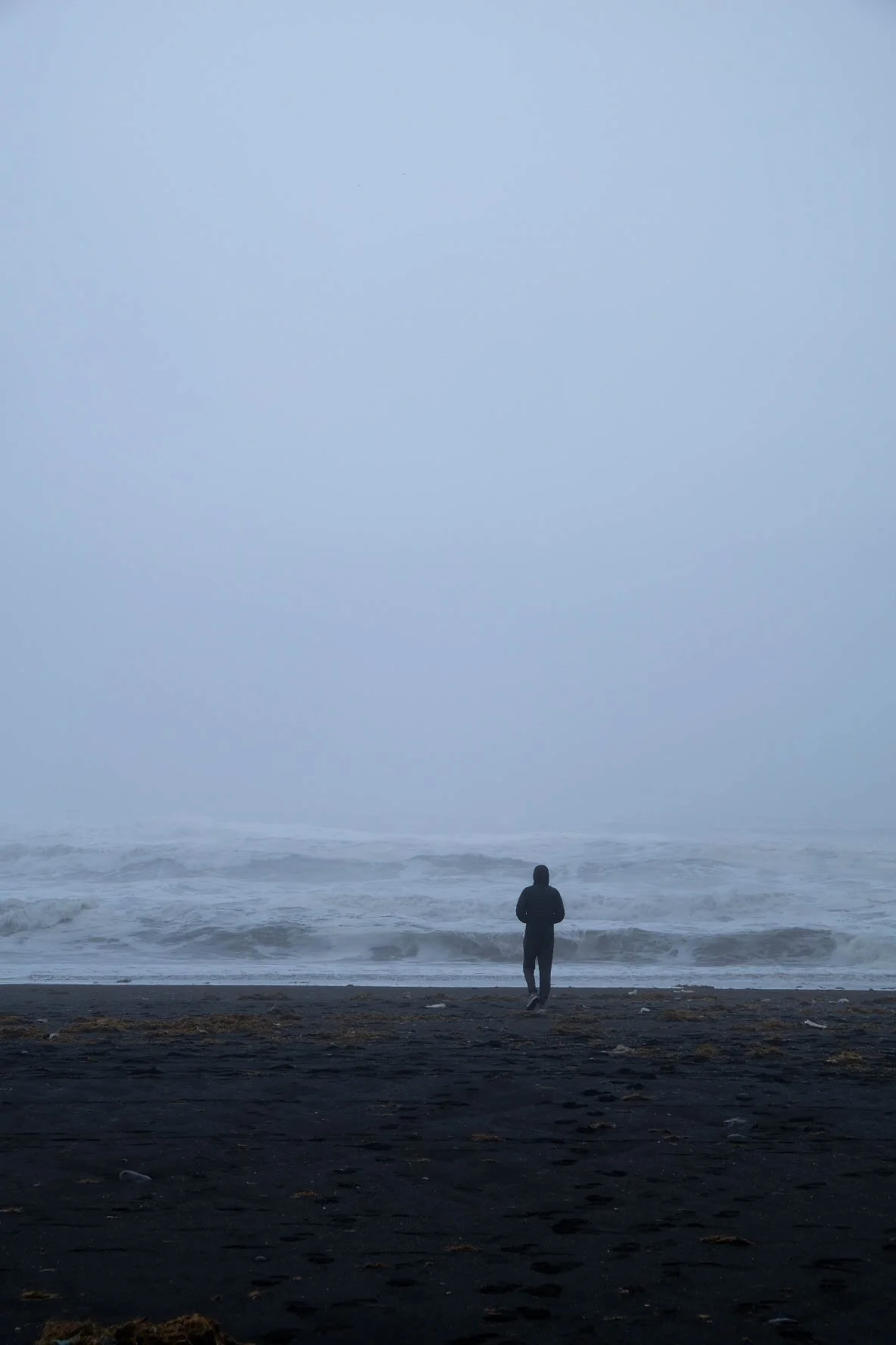
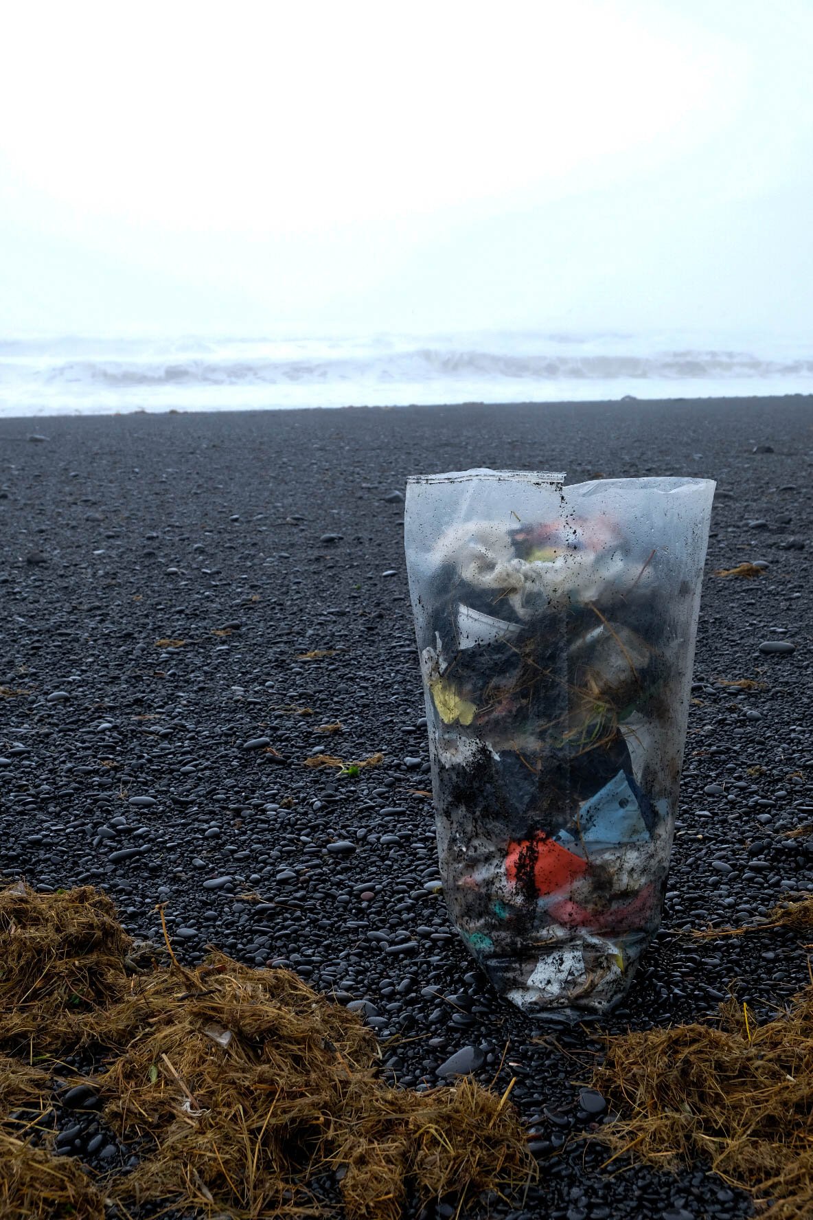
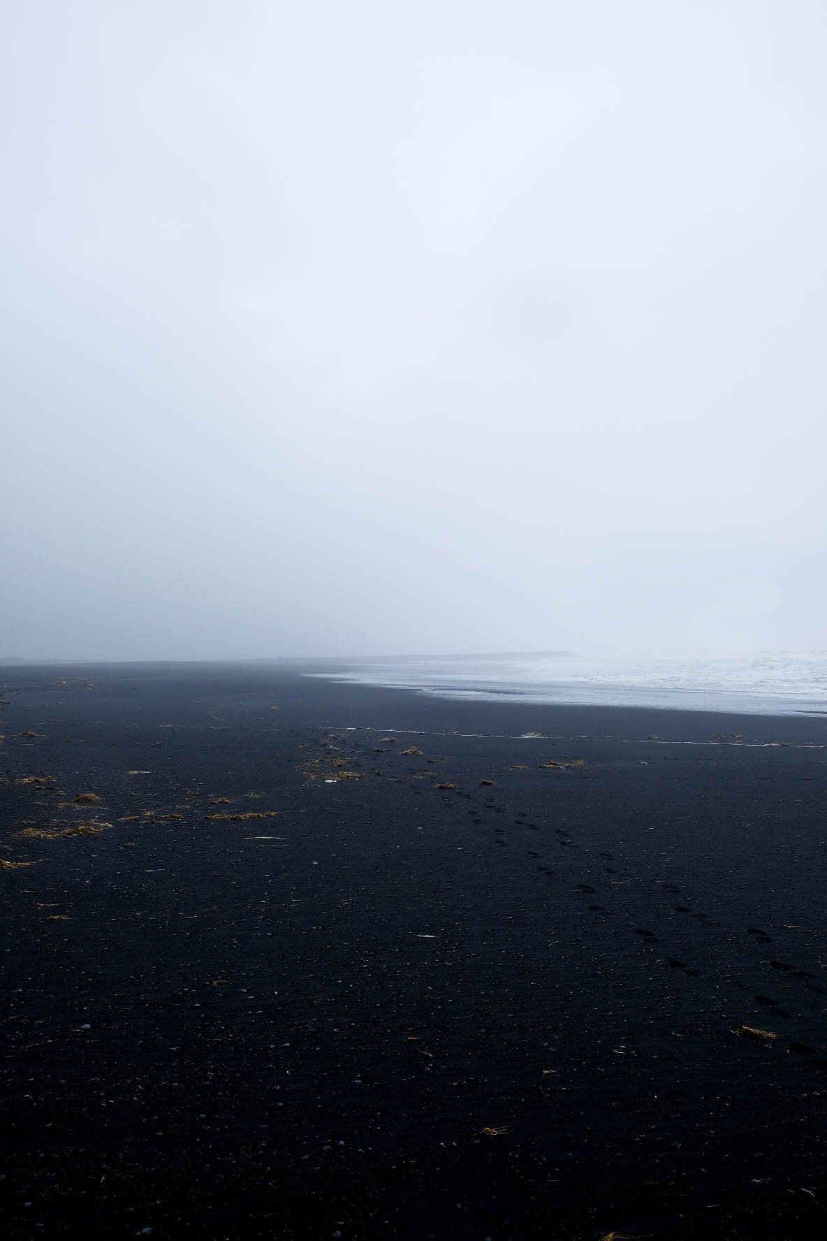
Iceland
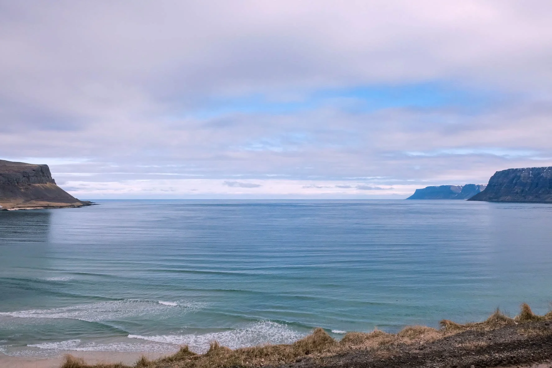
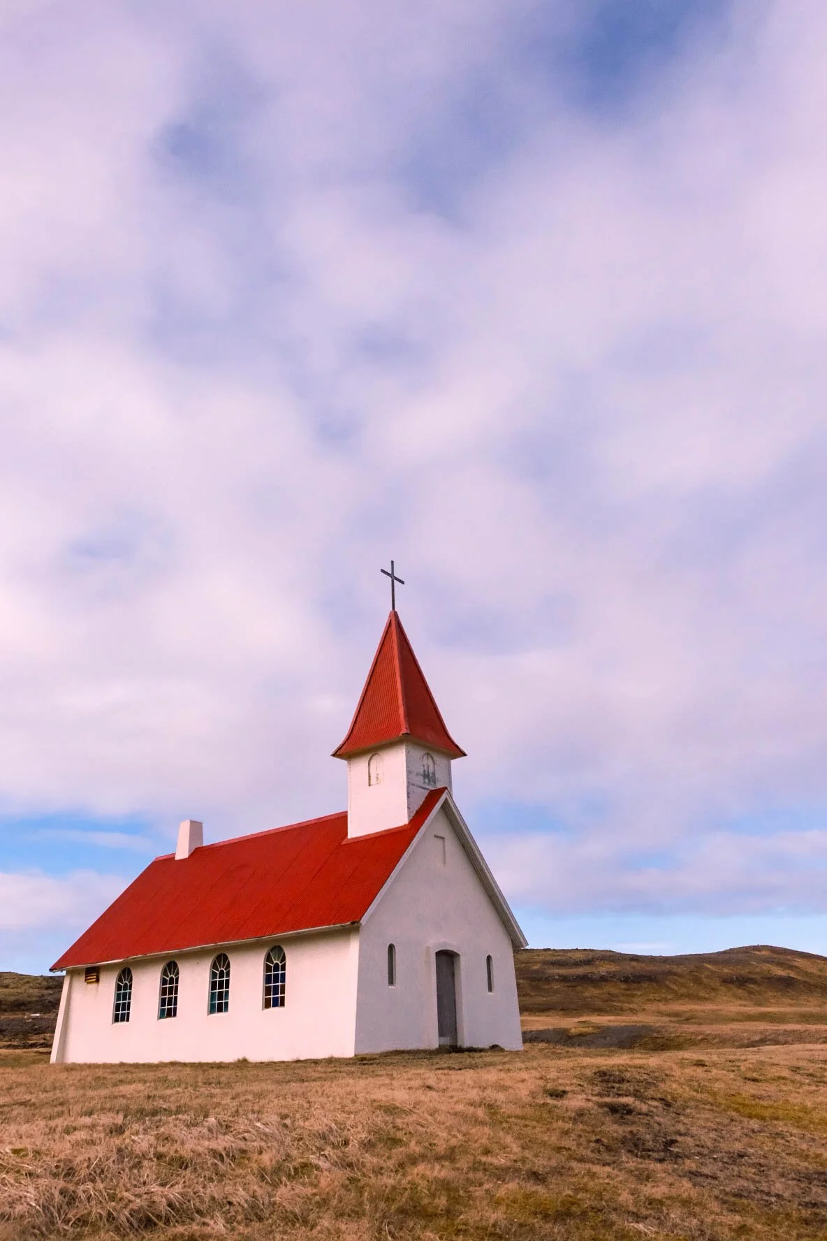
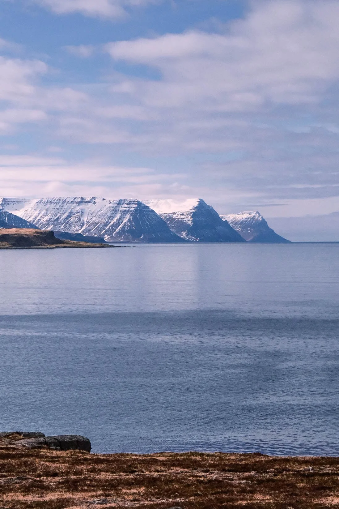
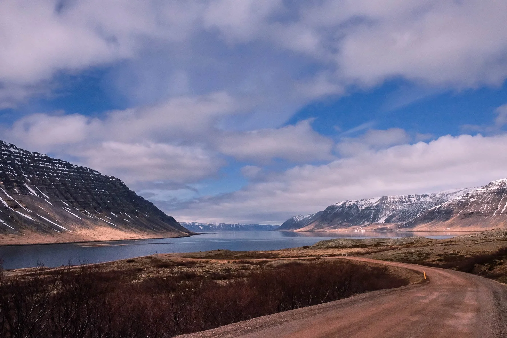
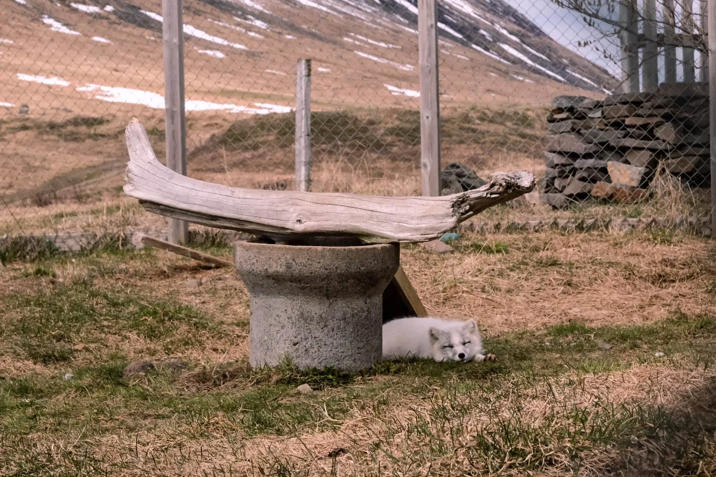
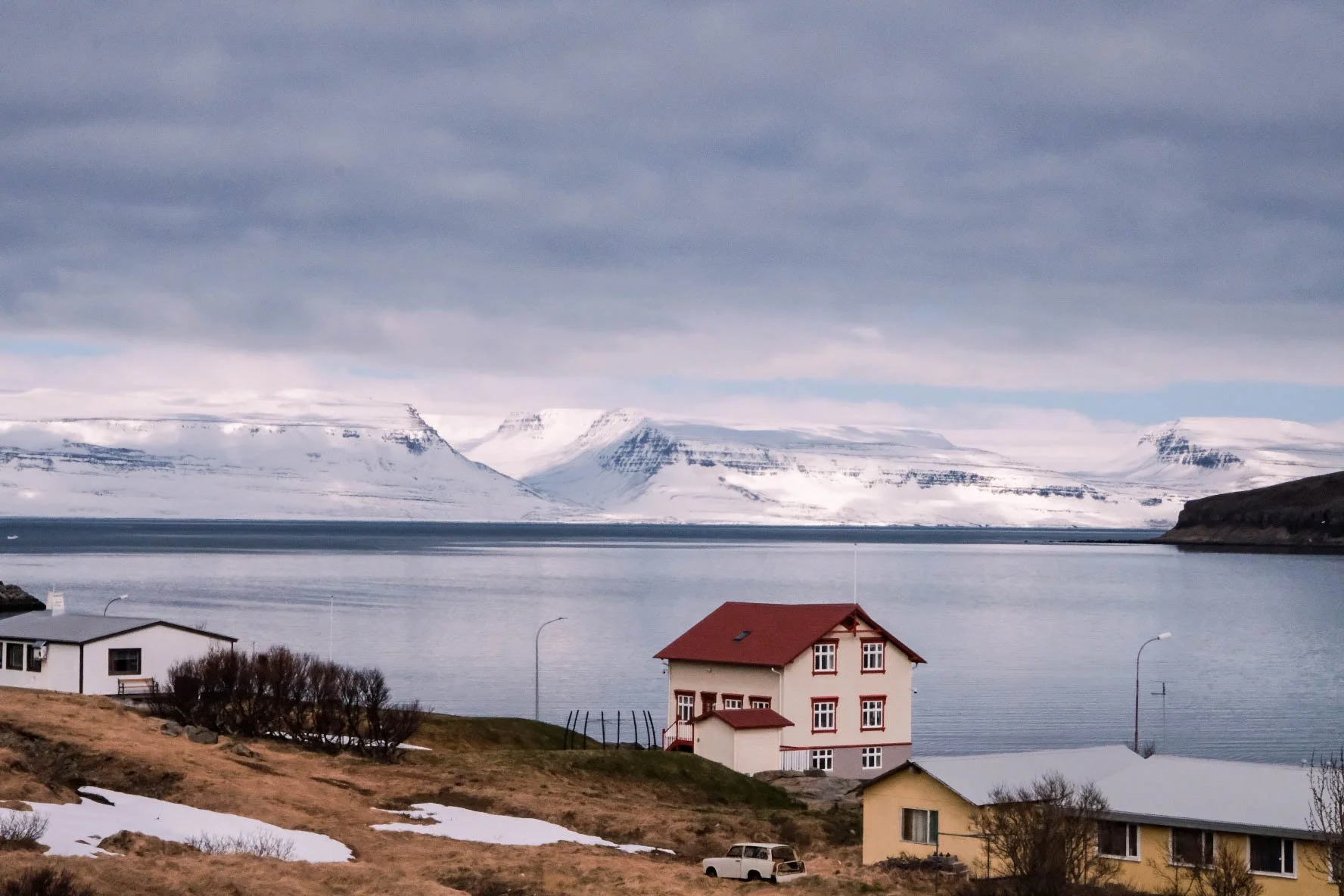
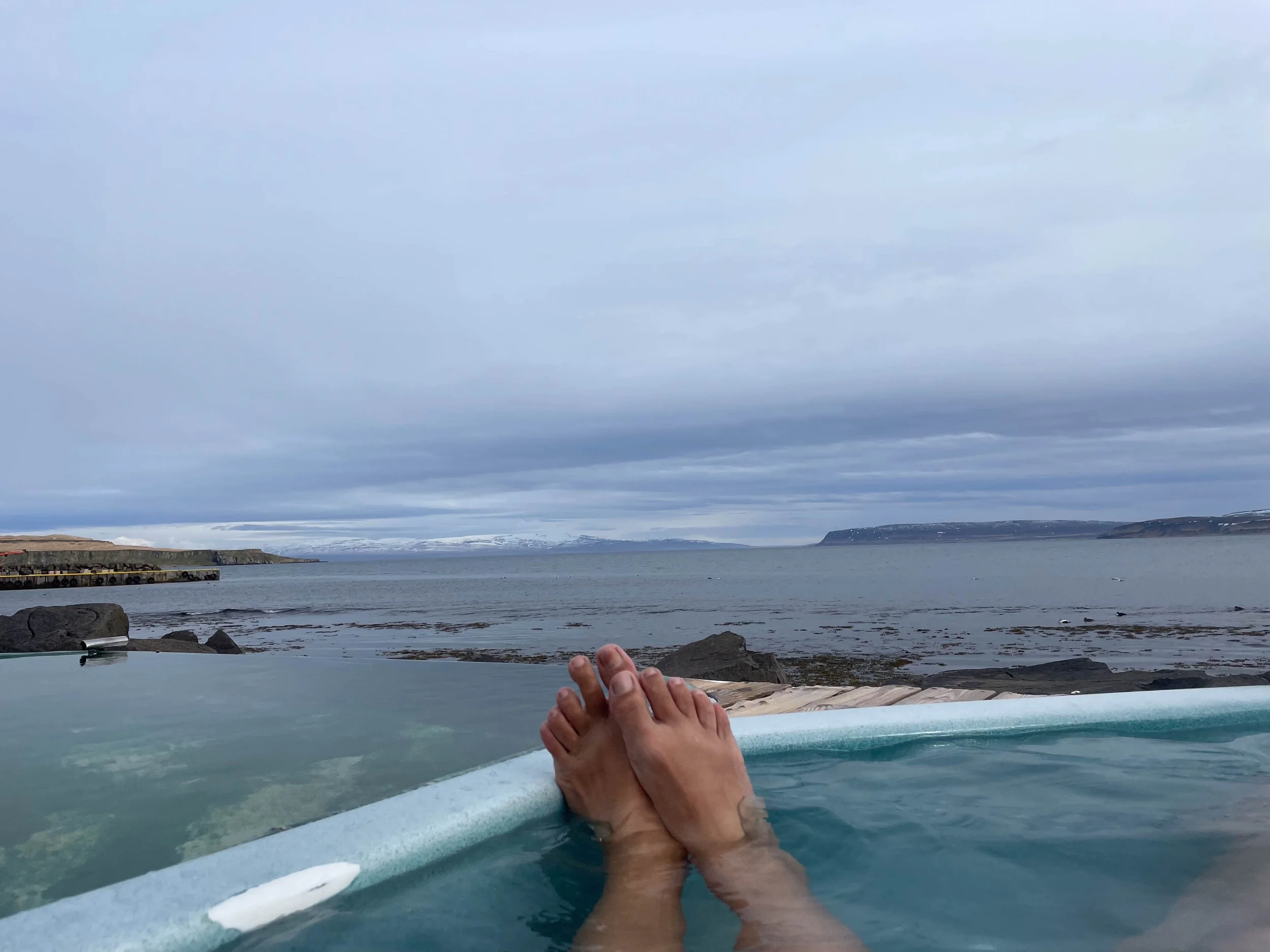
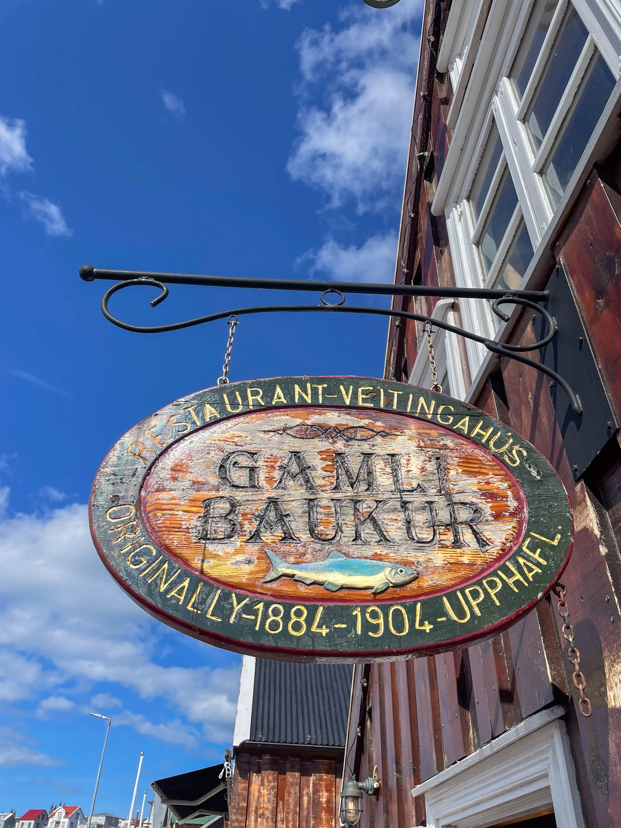
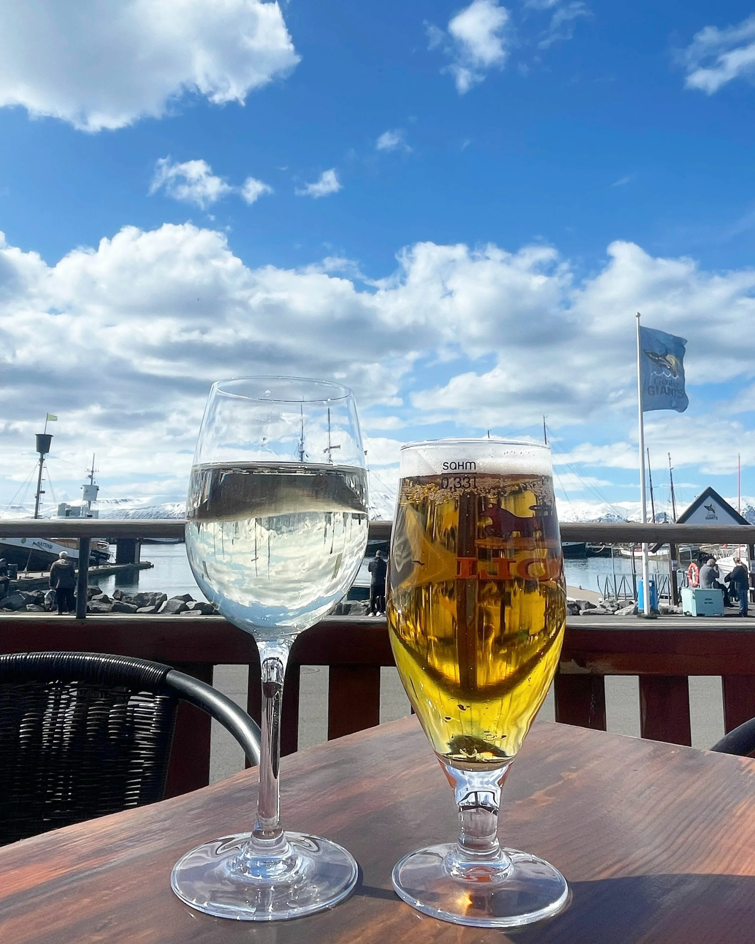
Ring Road & Westfjords
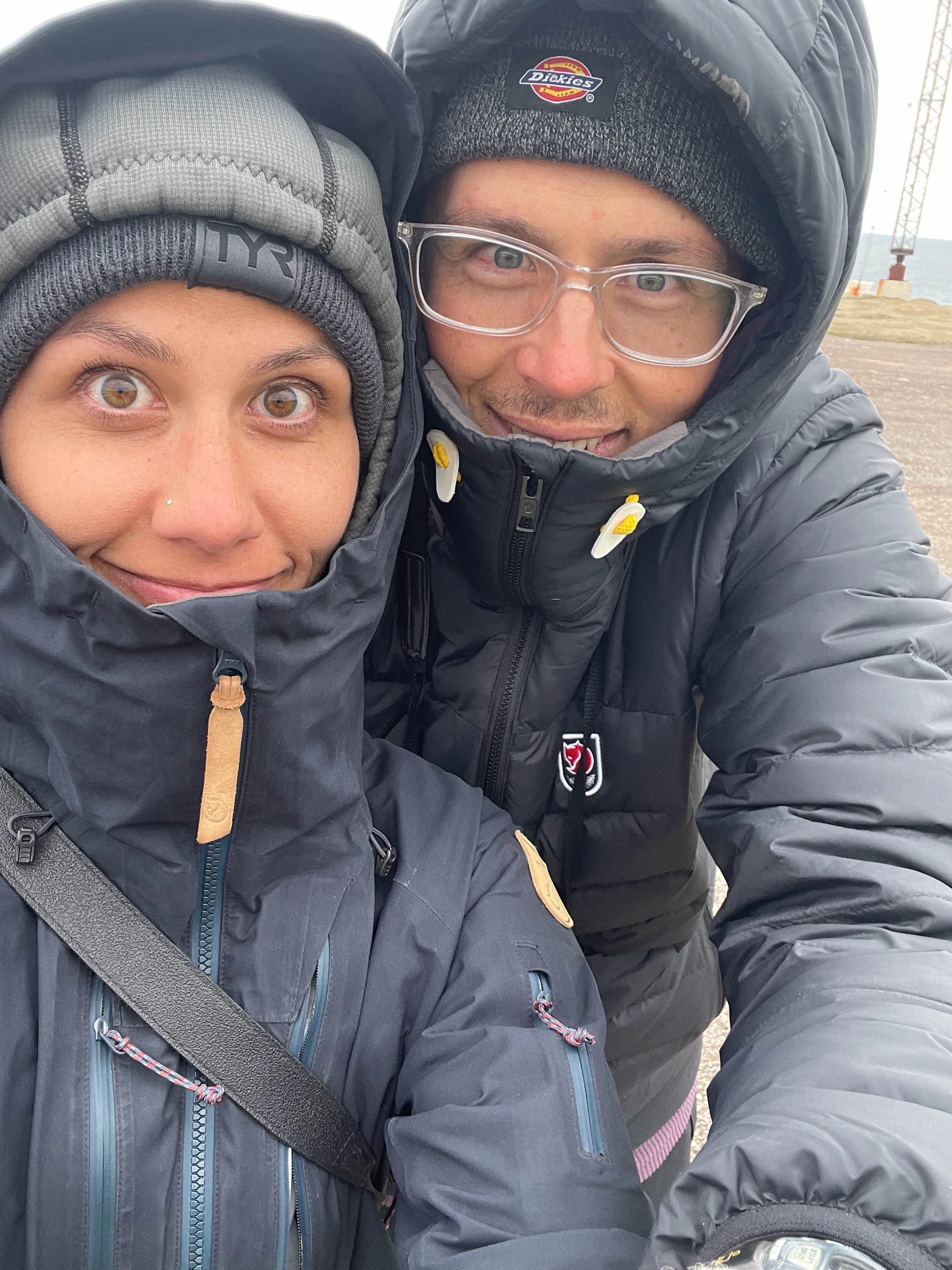
Ring Road & Westfjords | May 2022
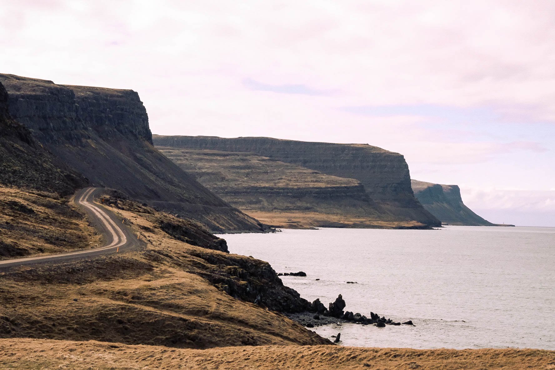
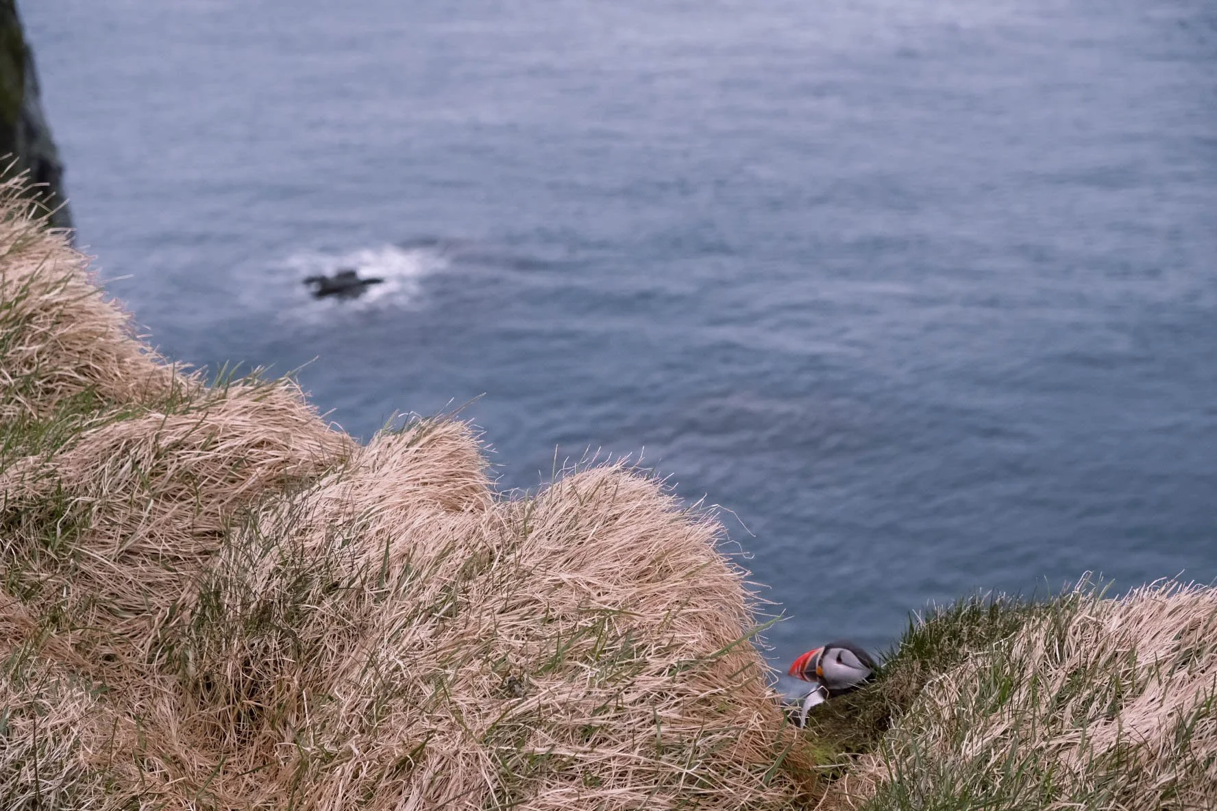
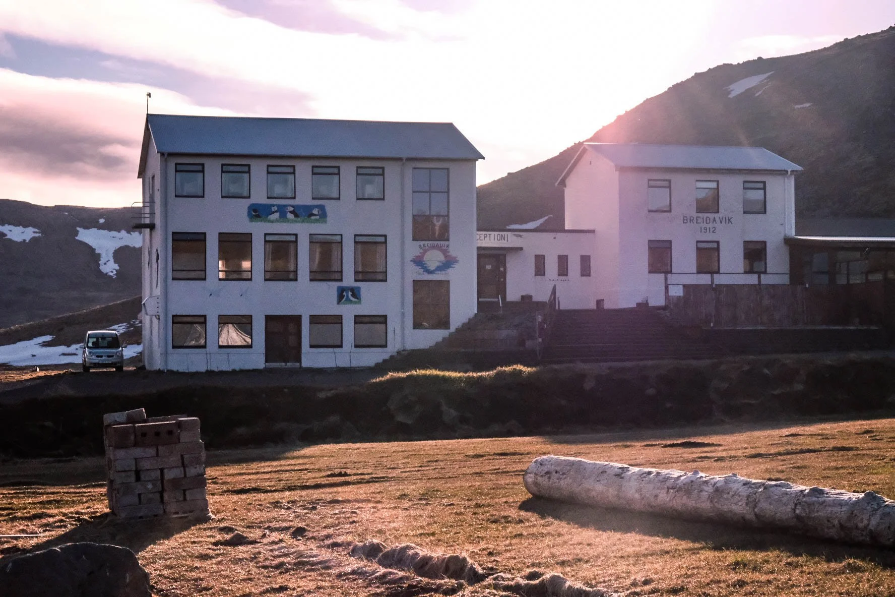
Day 1: Keflavík-Látrabjarg | Breidavik Campground
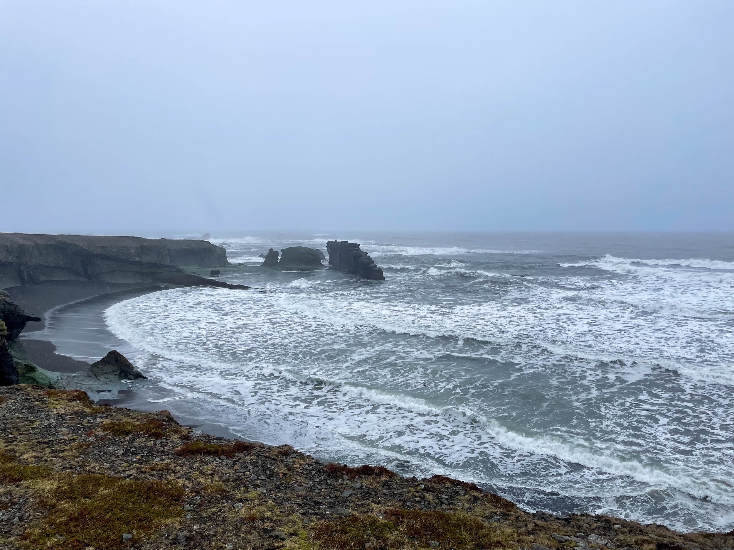
Stops: Puffin Cliffs
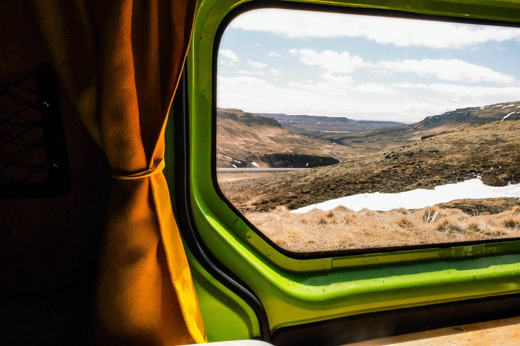
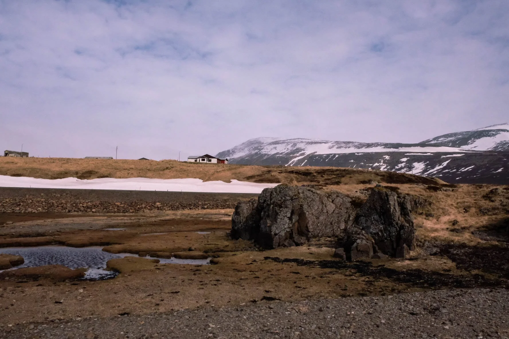
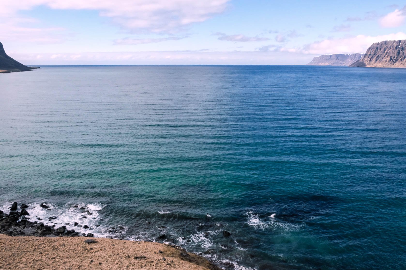
Day 2: Látrabjarg-Drangsnes | Drangsnes Campground
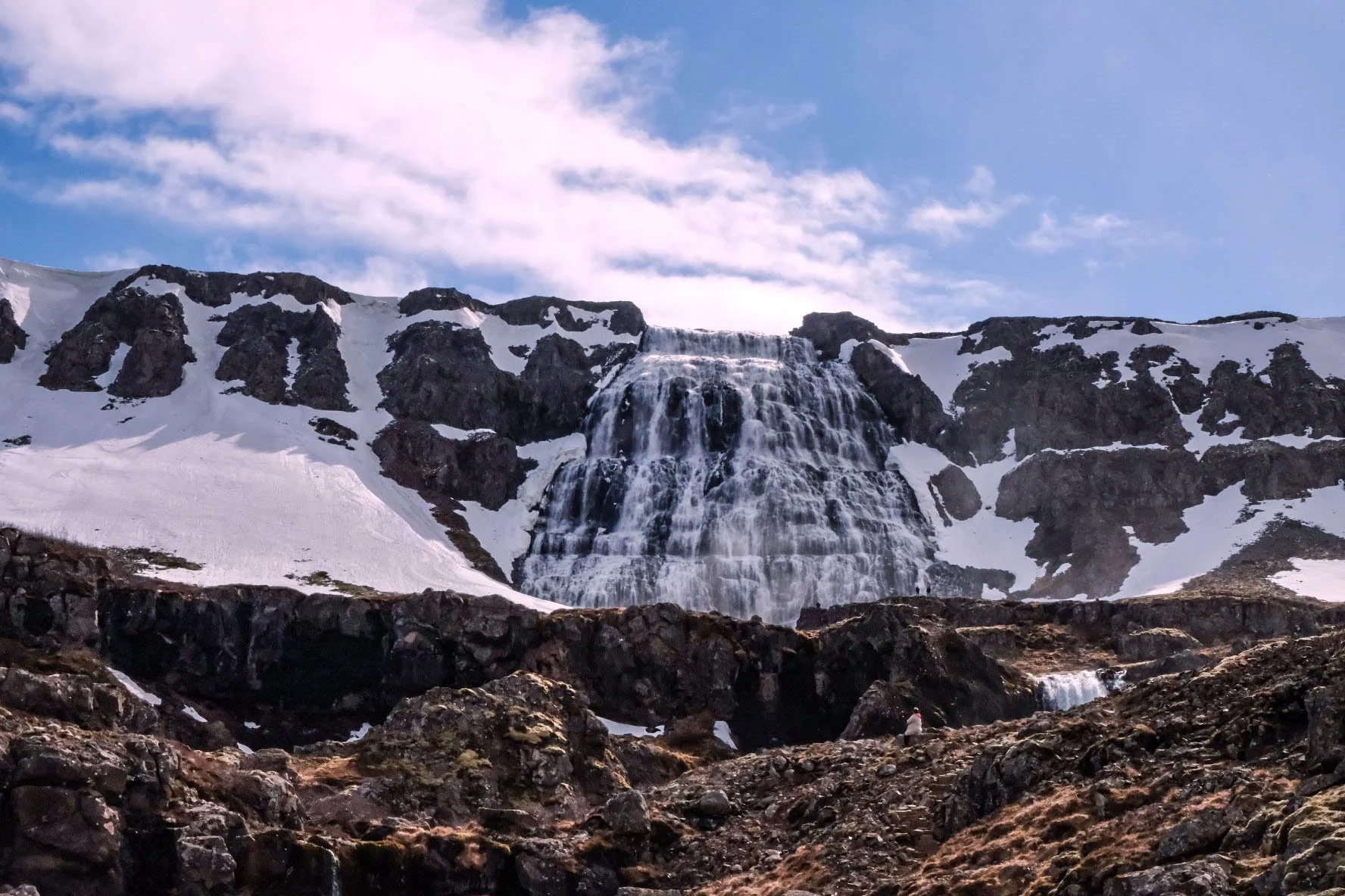
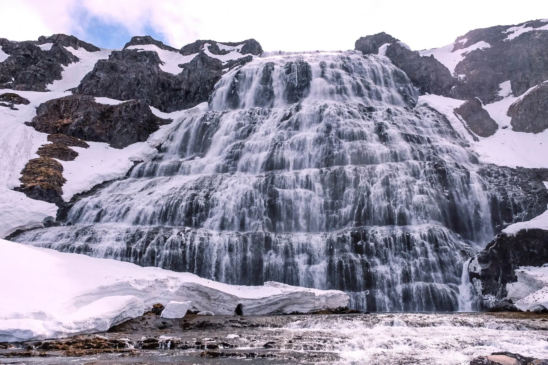
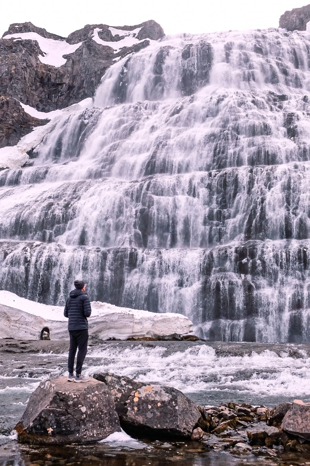
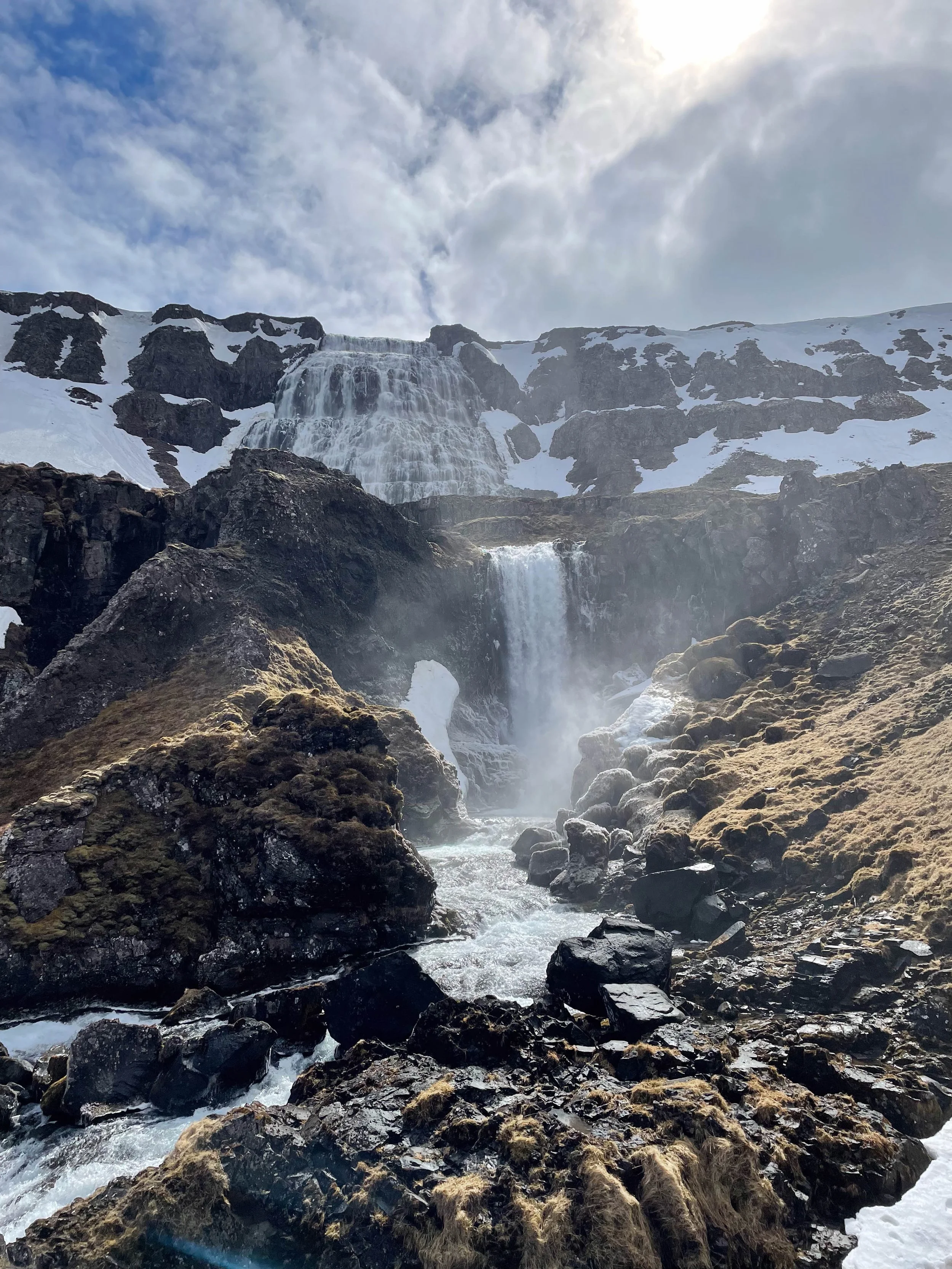
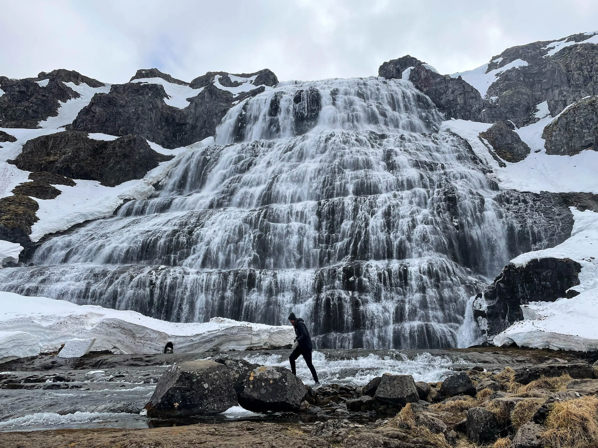
Stops: Dynjandi Waterfall, Arctic Fox Centre
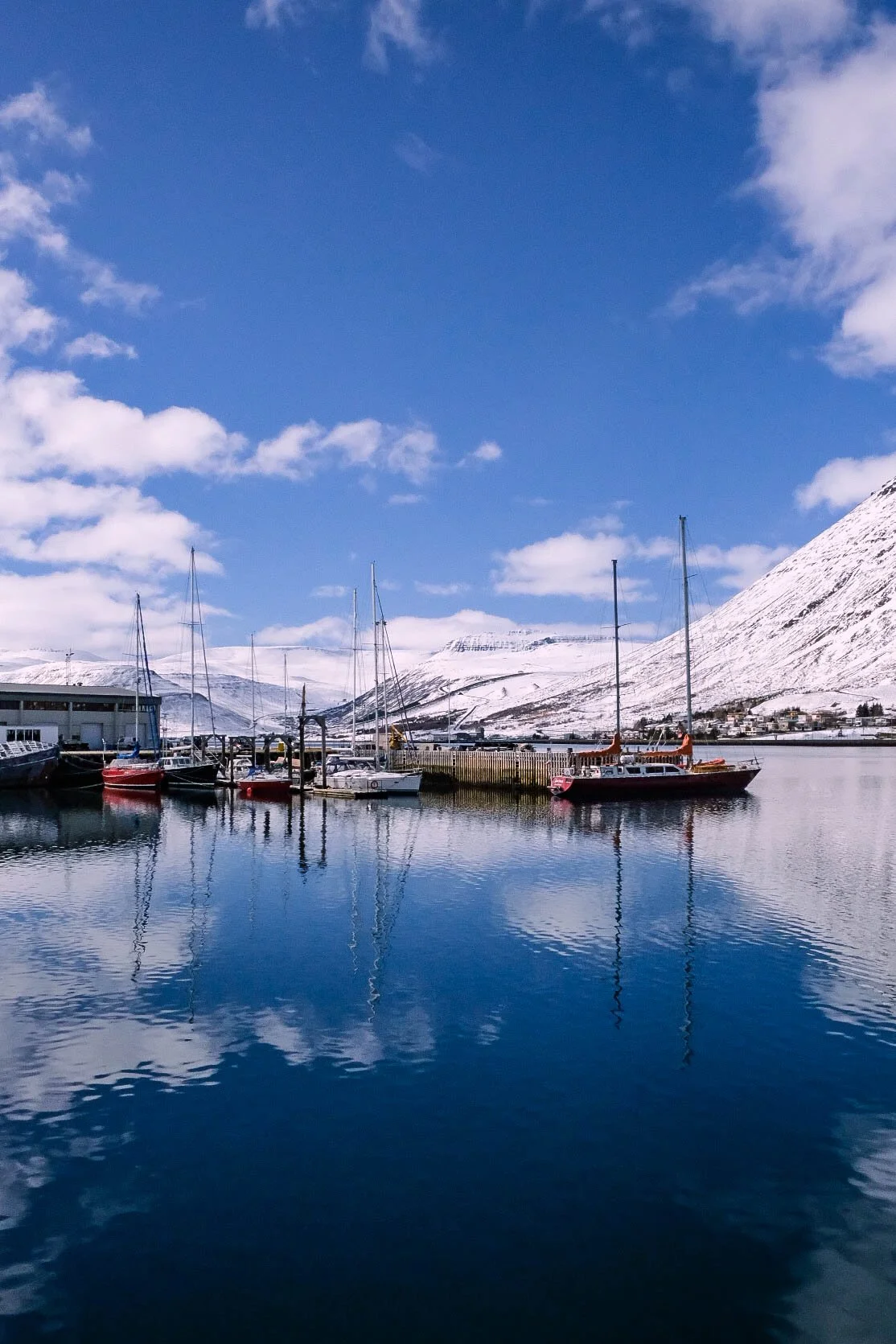

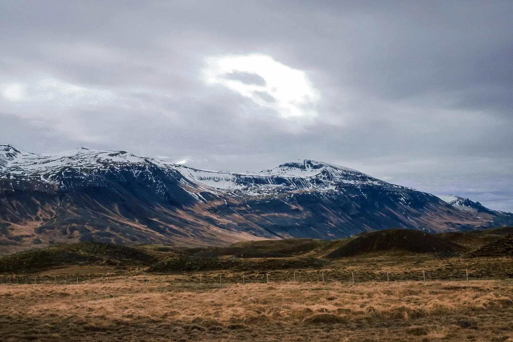
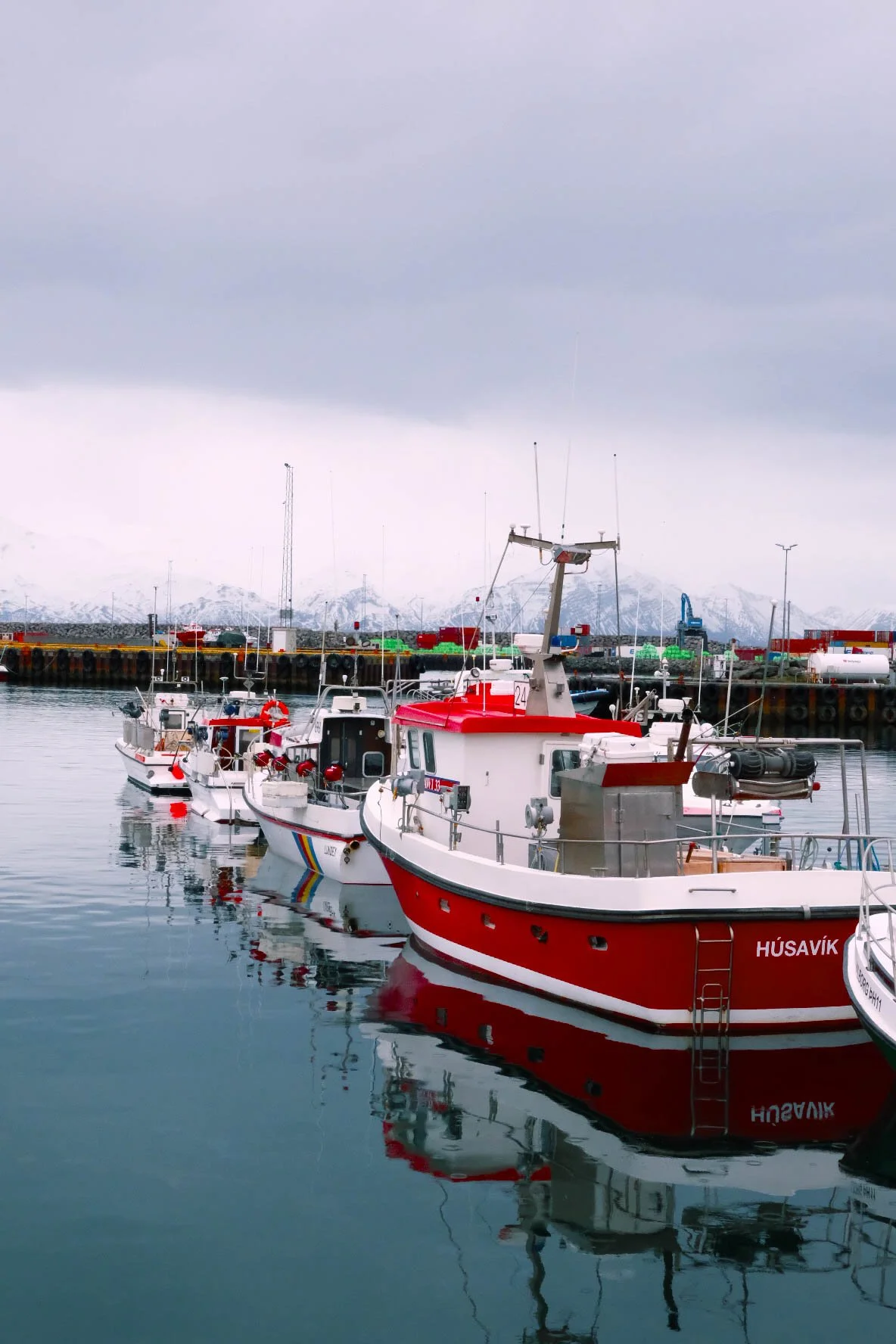
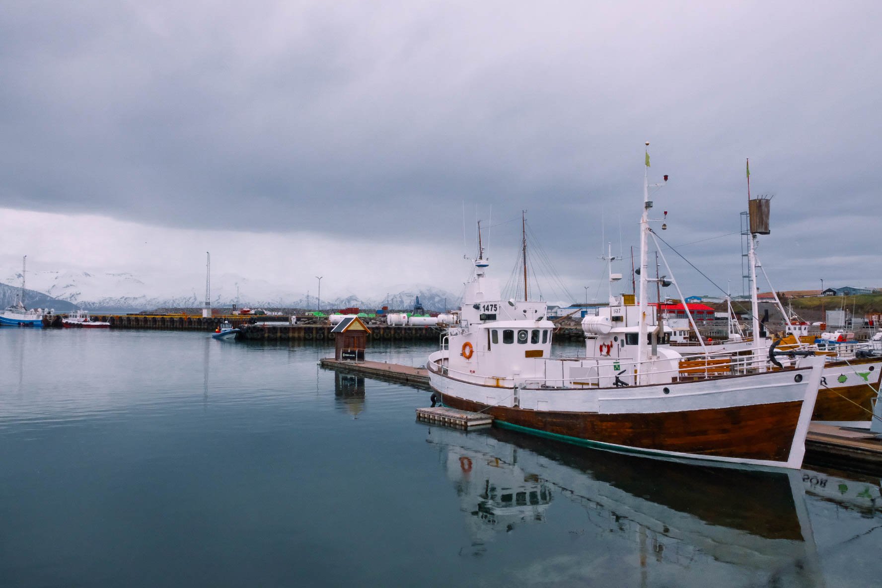
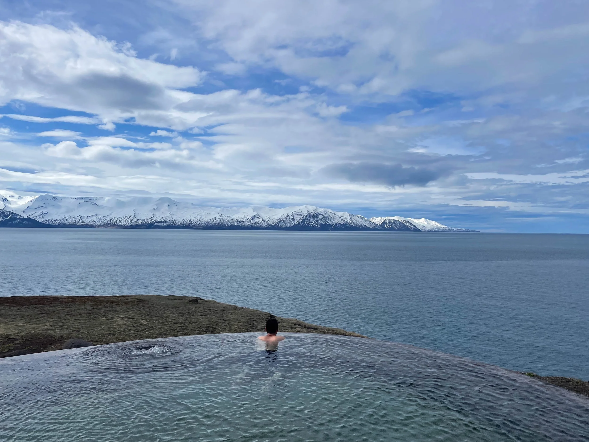
Day 3: Drangsnes-Húsavík | Camping 66.12 North
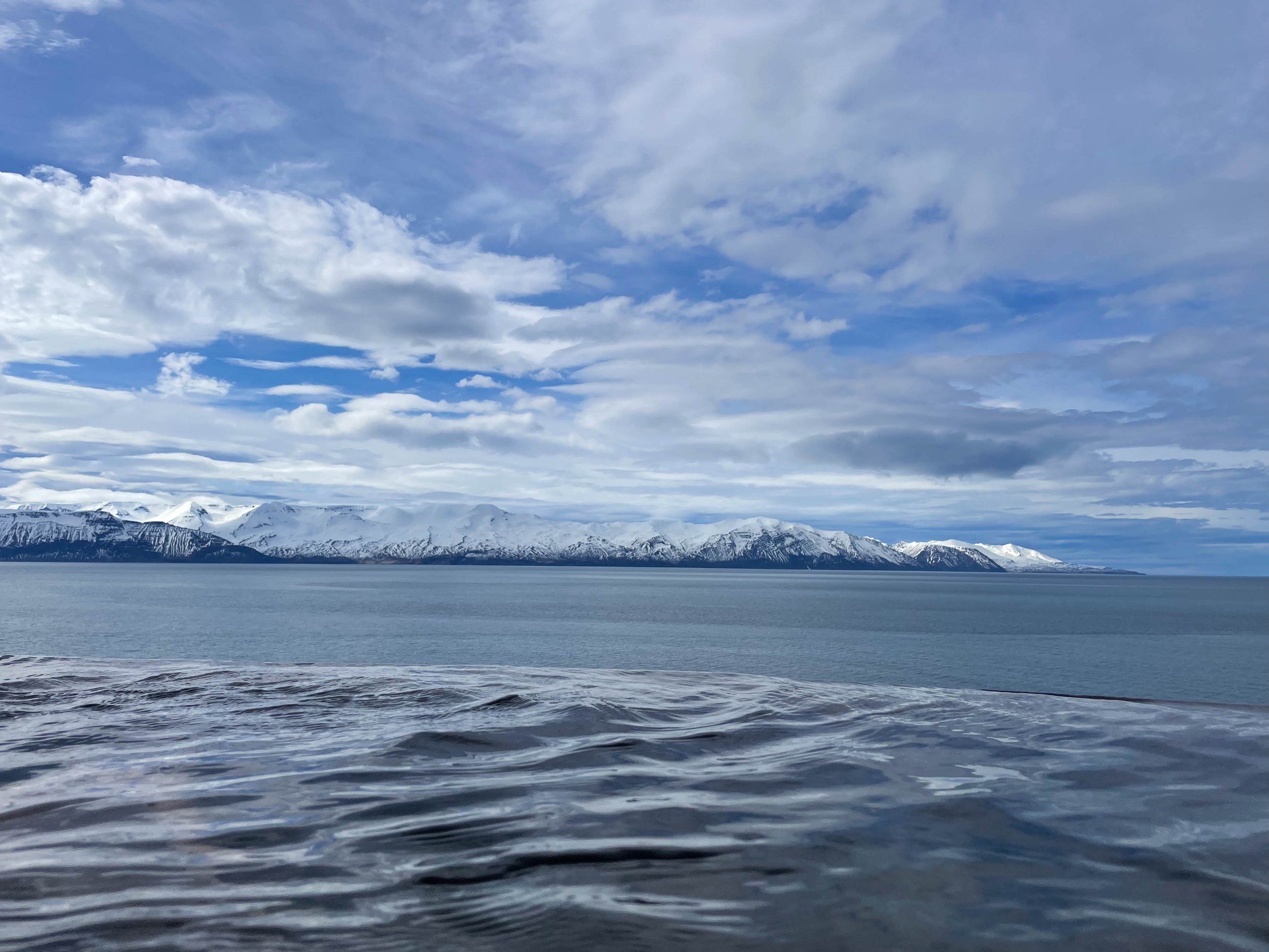
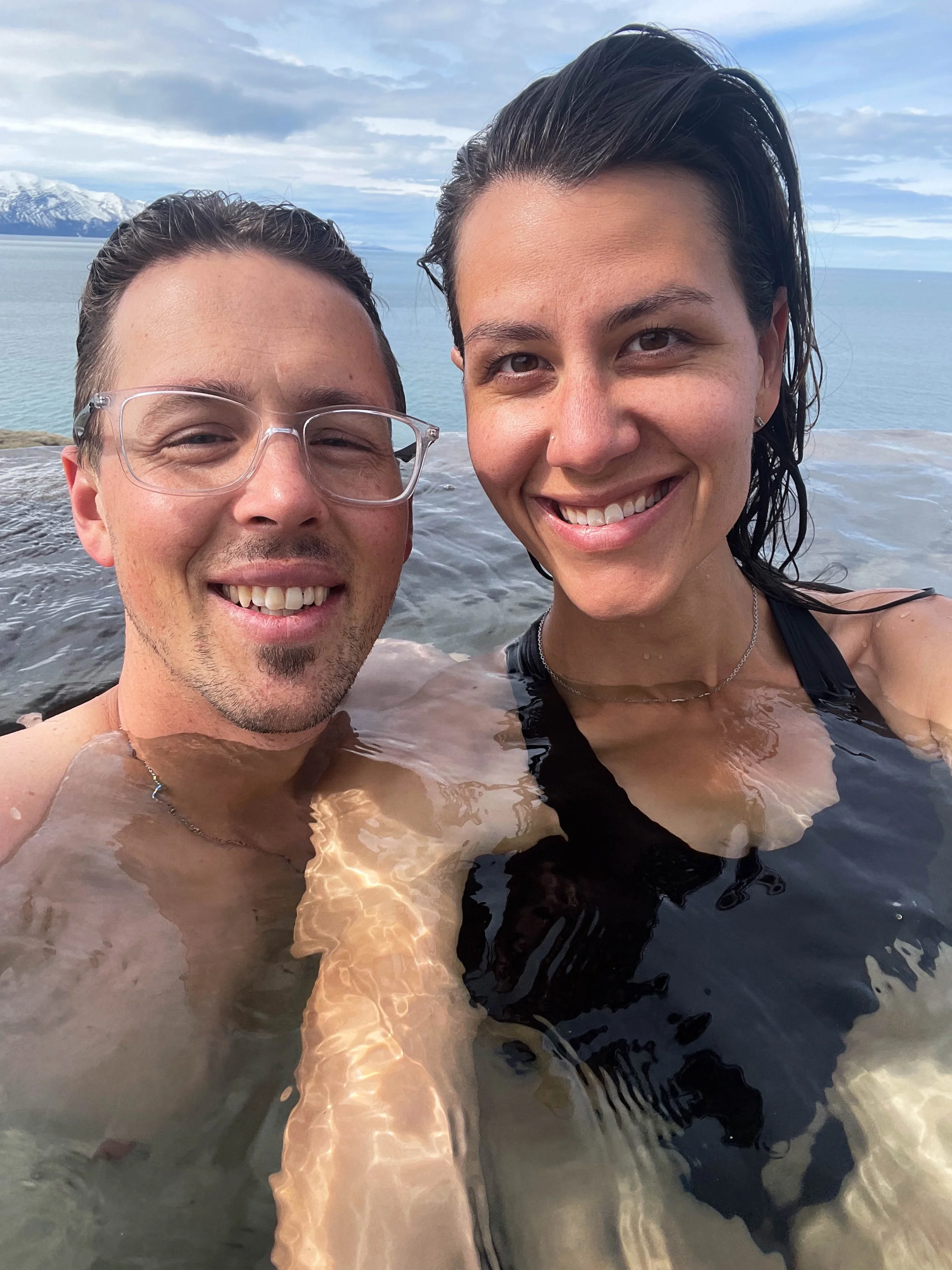
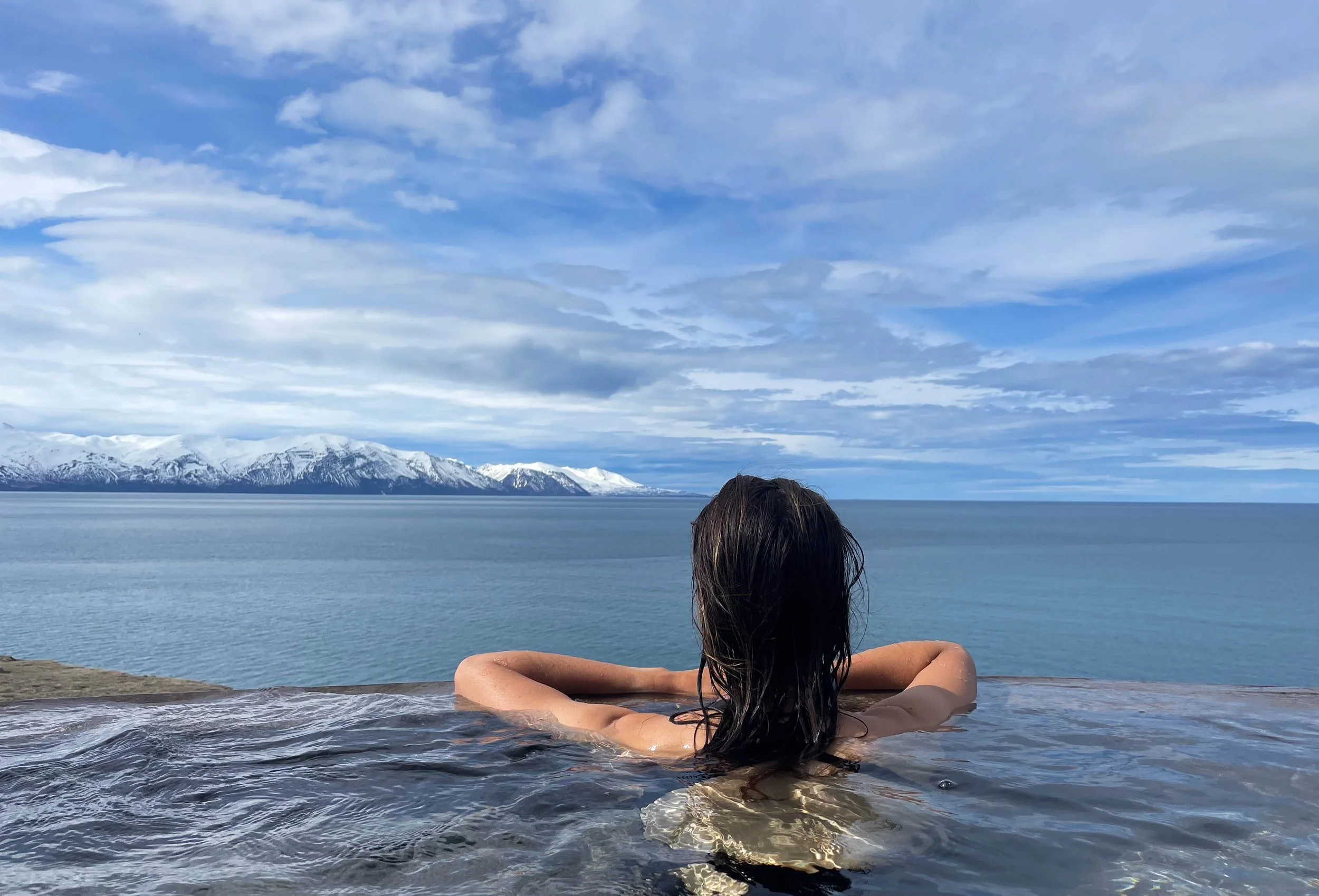
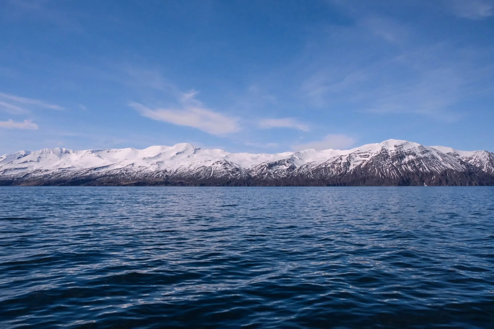
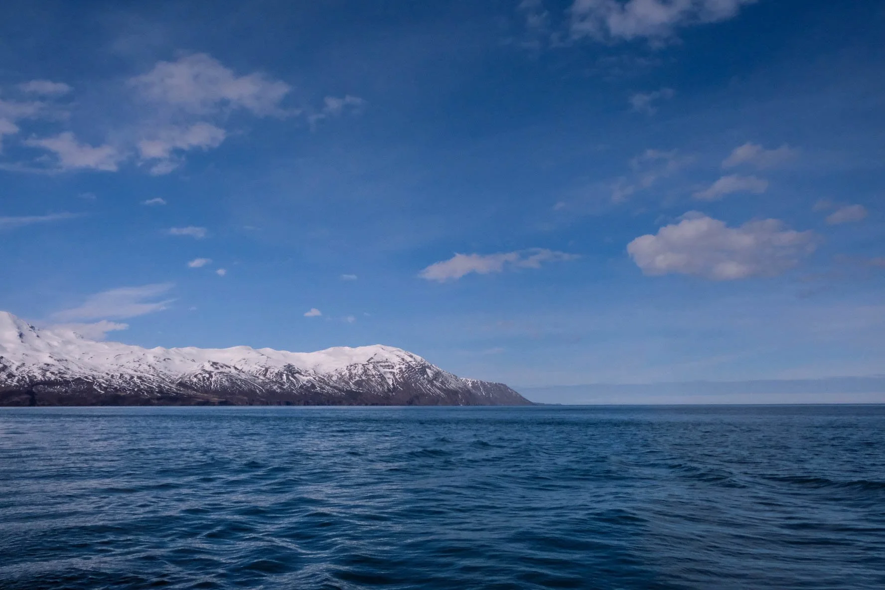
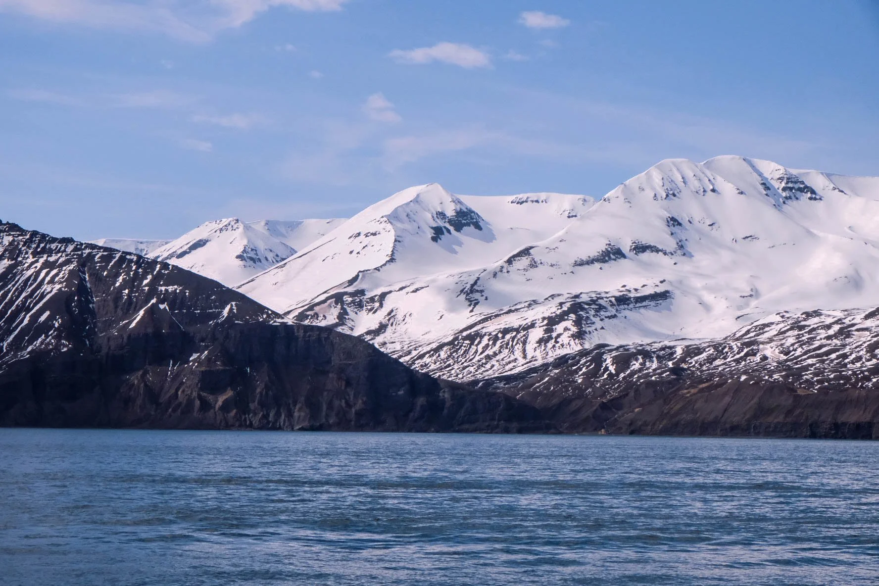
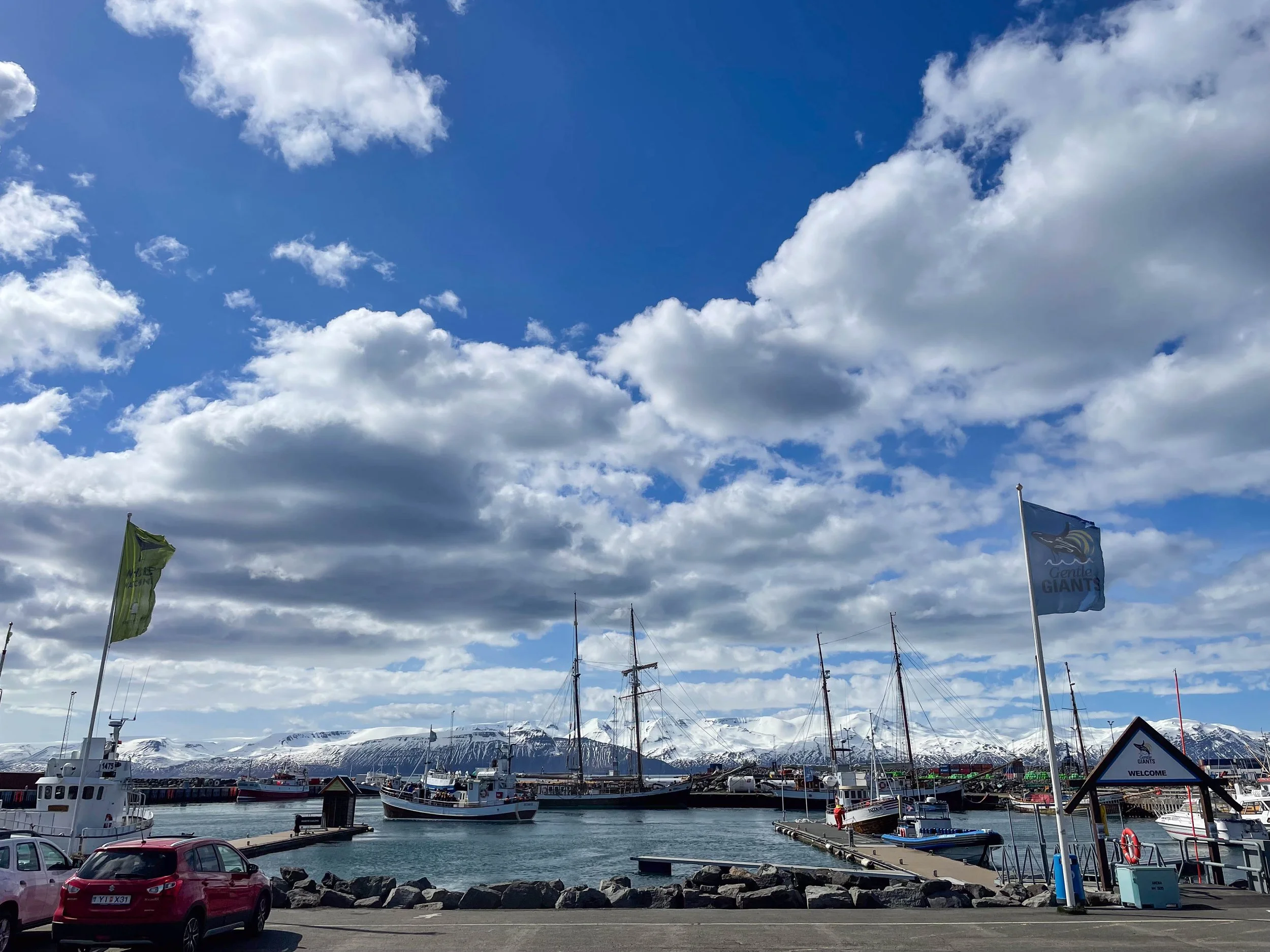
Stops: Geosea Sea Baths, Húsavík Mountain

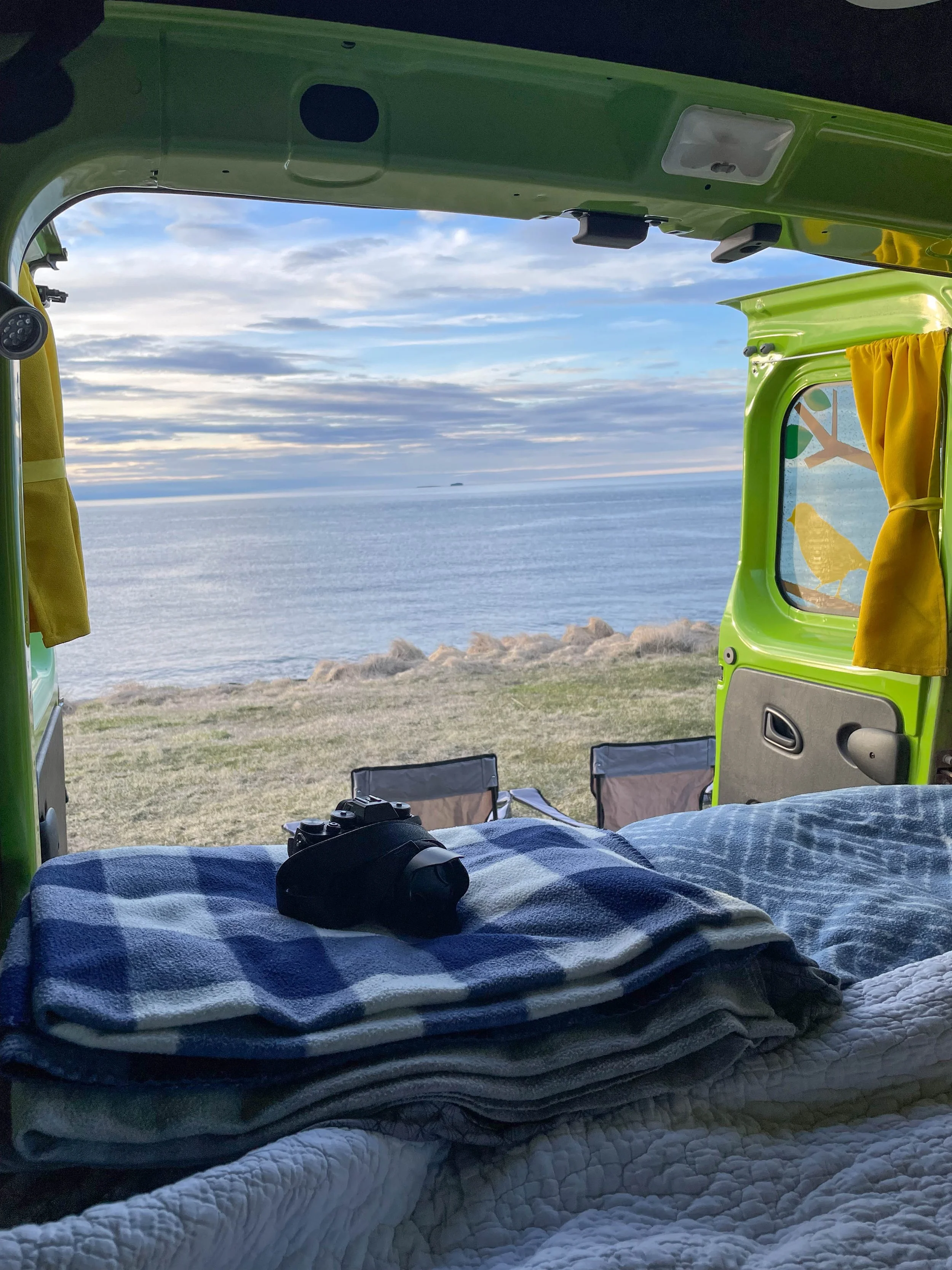
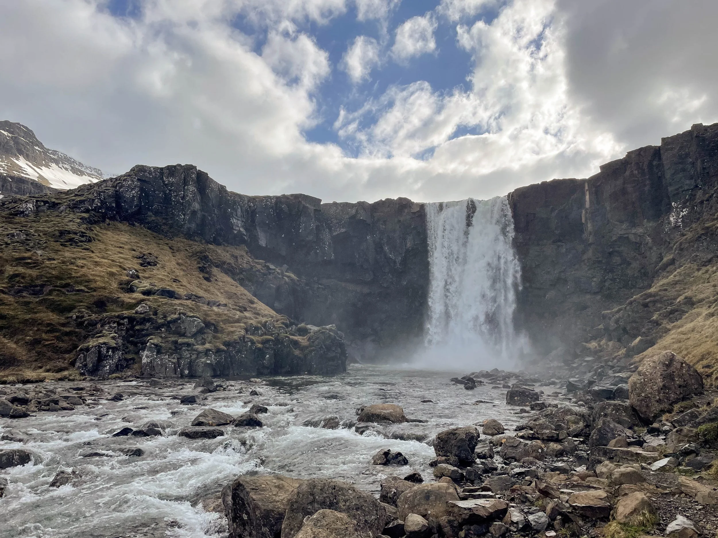
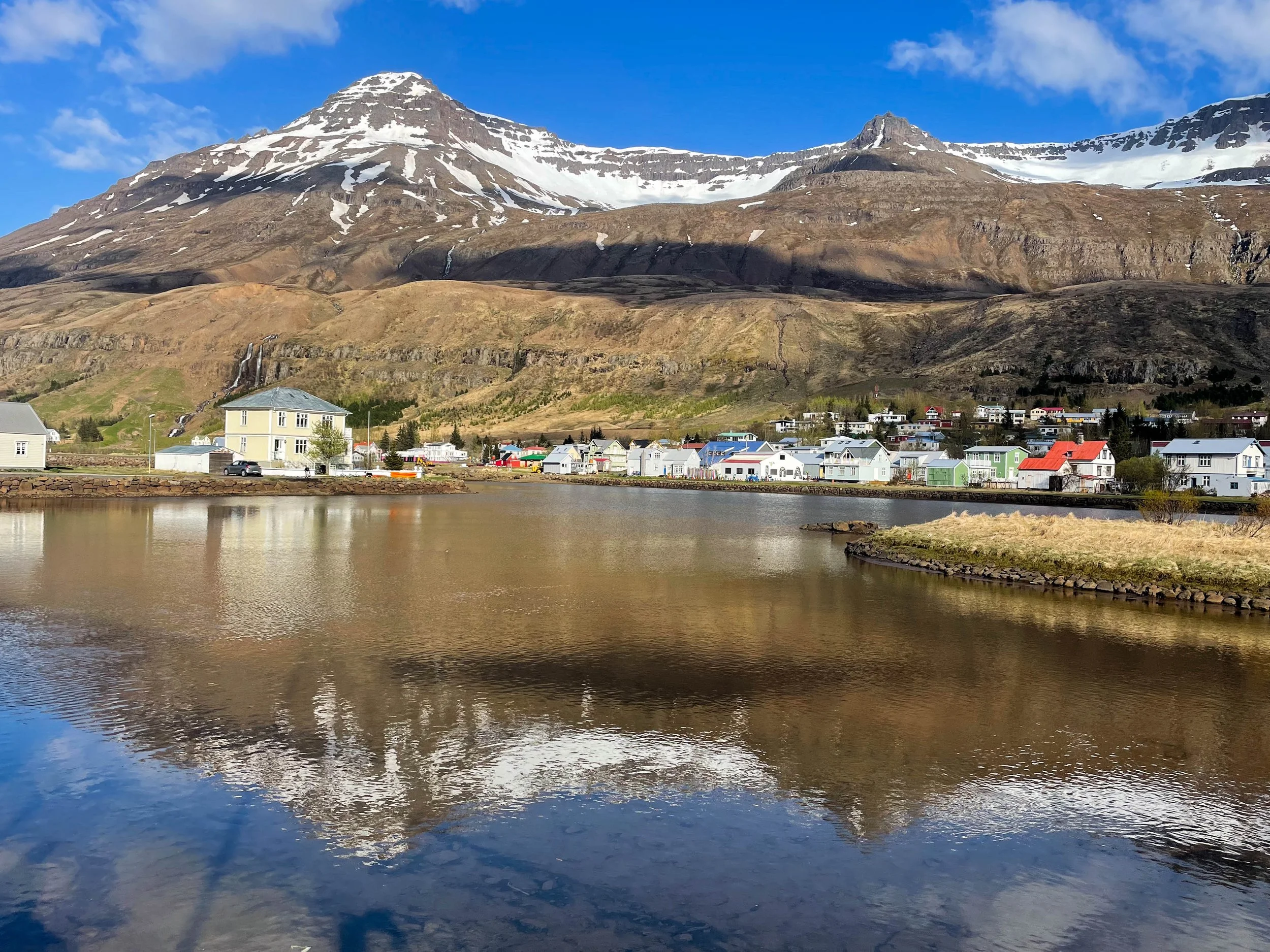
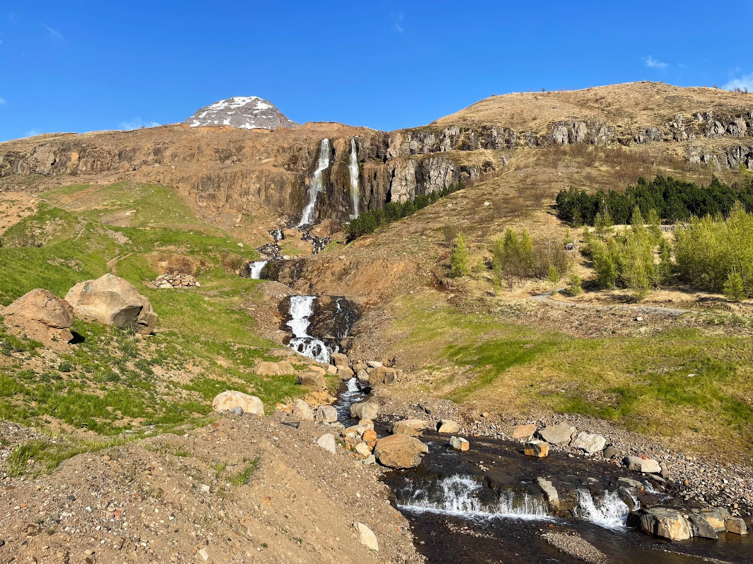
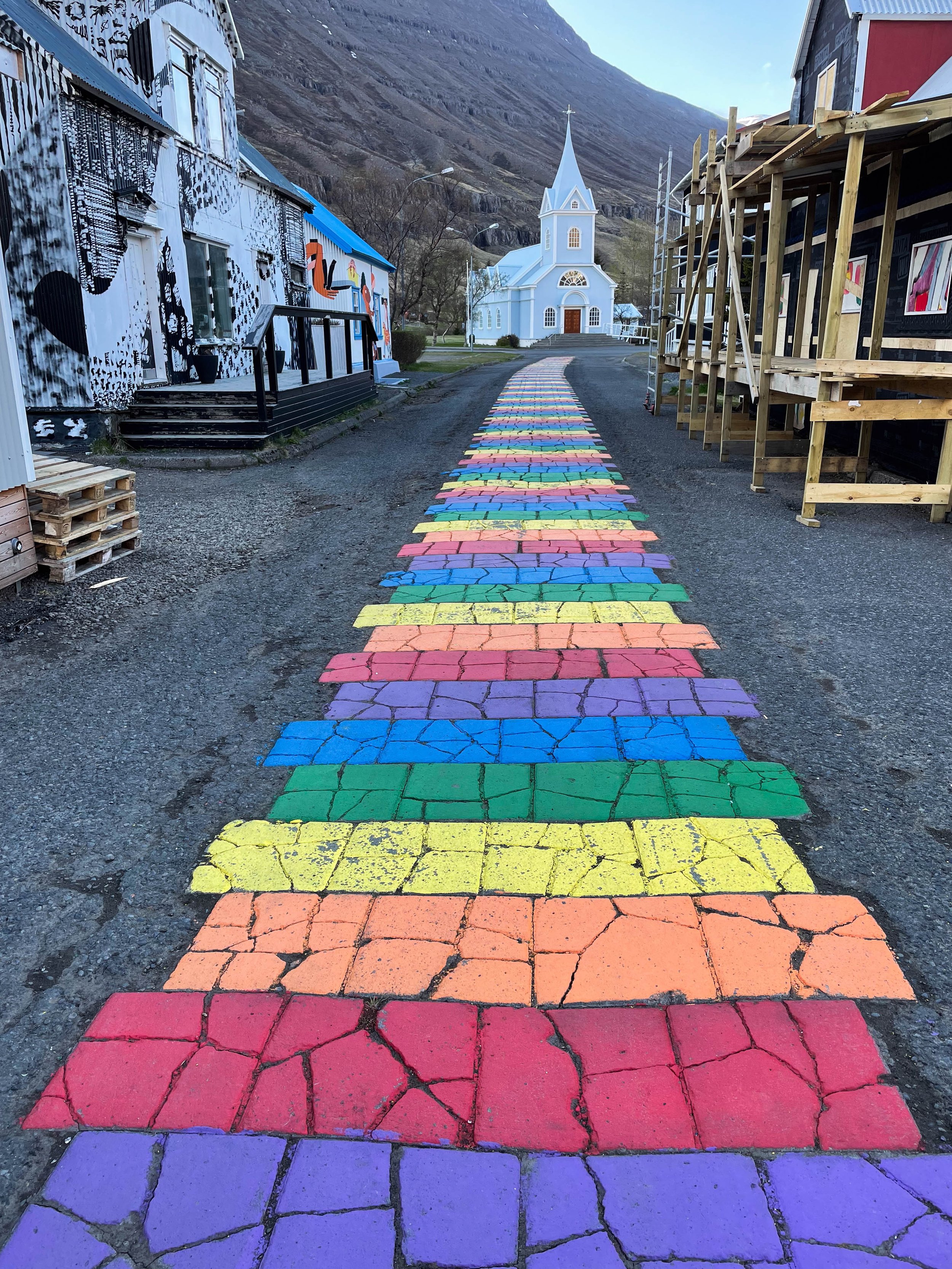
Day 4: Húsavík-Seydisfjordur | Seydisfjordur Camping Site
Stops: Whale watching tour, Gufu Waterfall, Rainbow Road
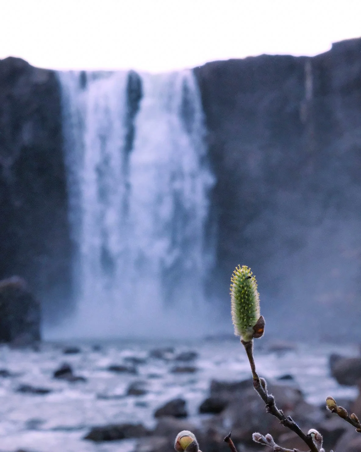
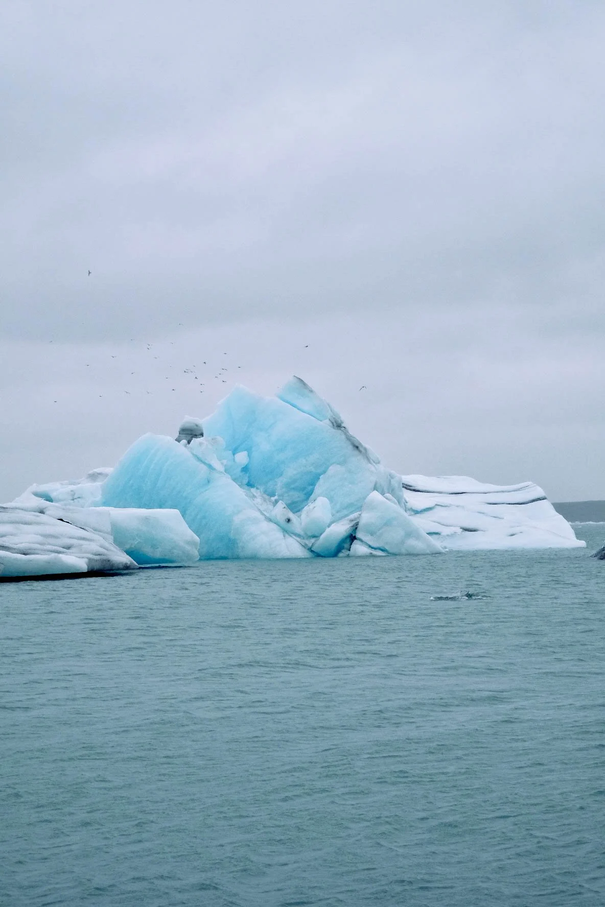
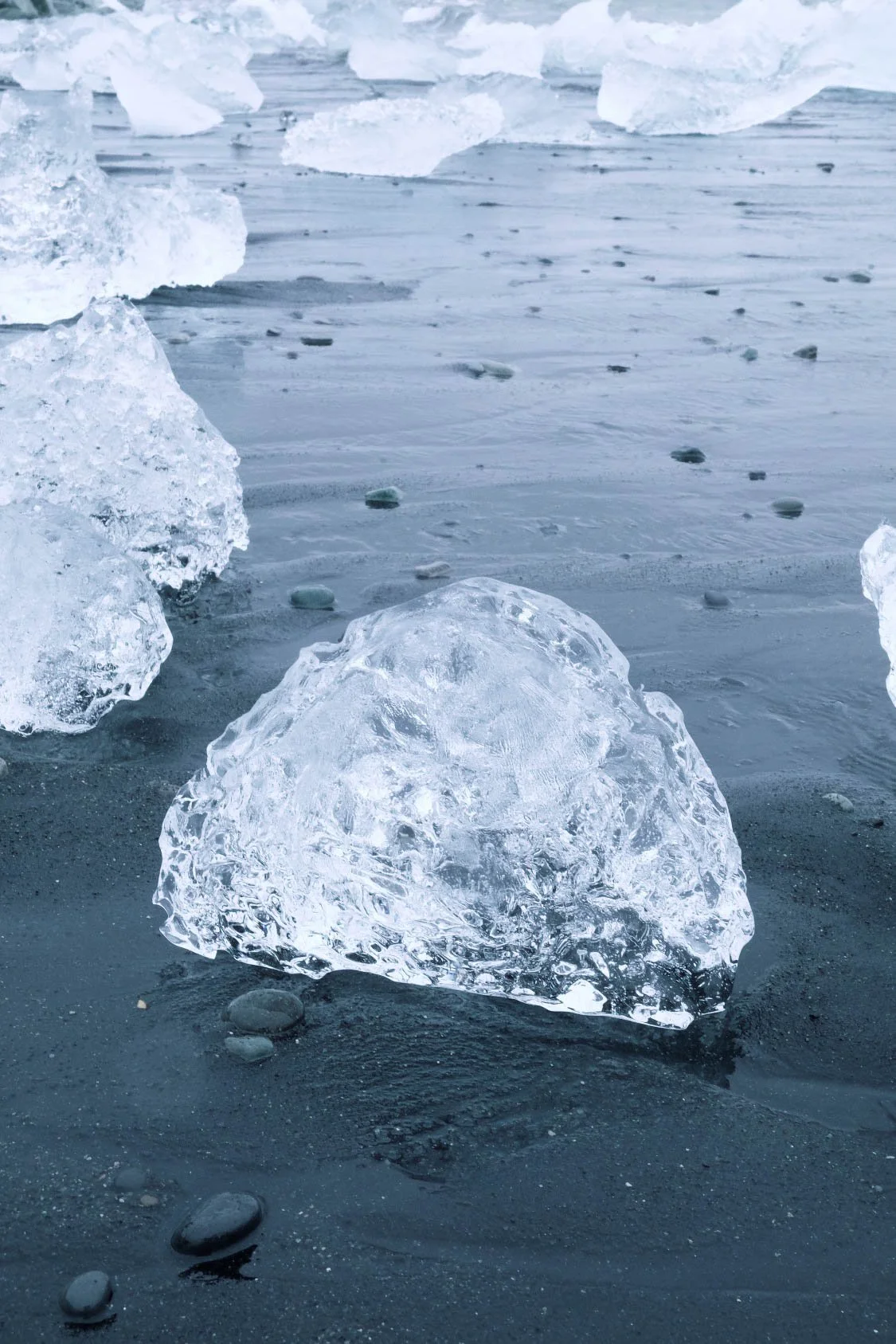
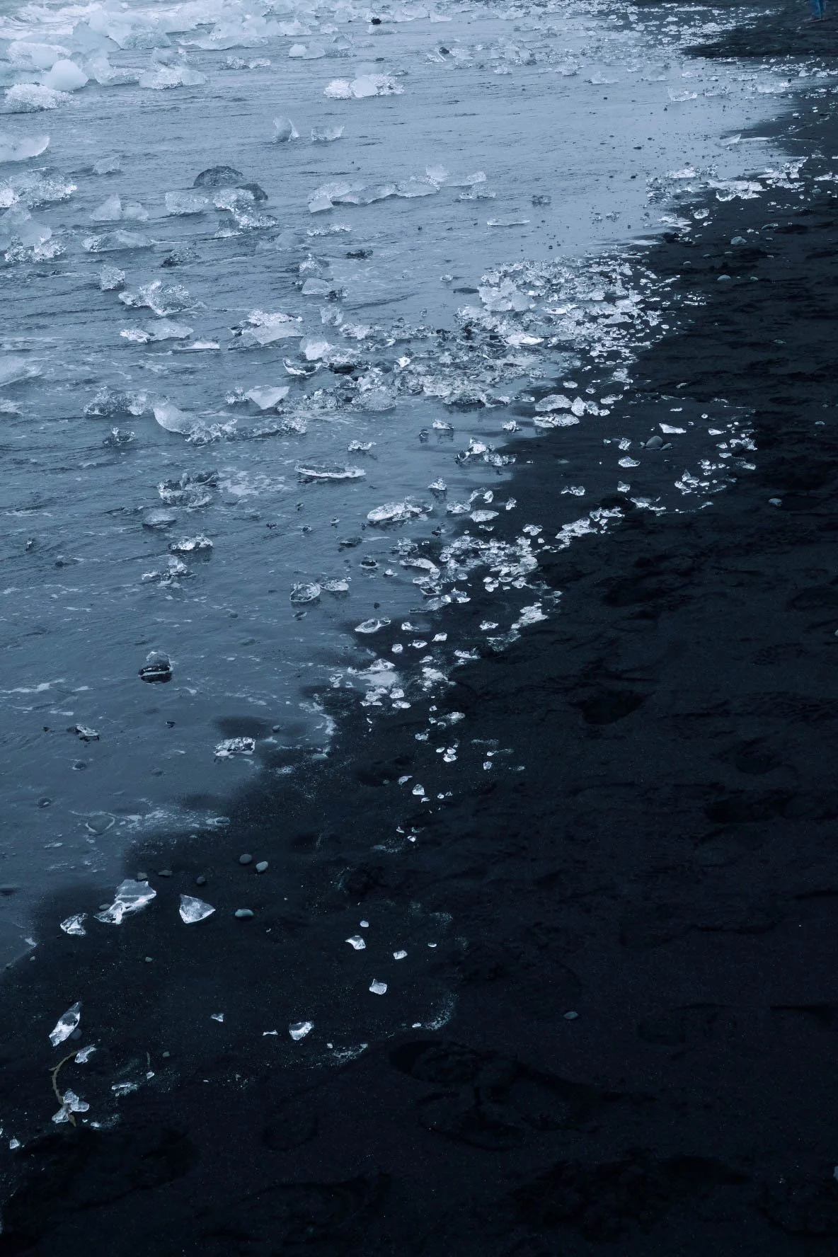
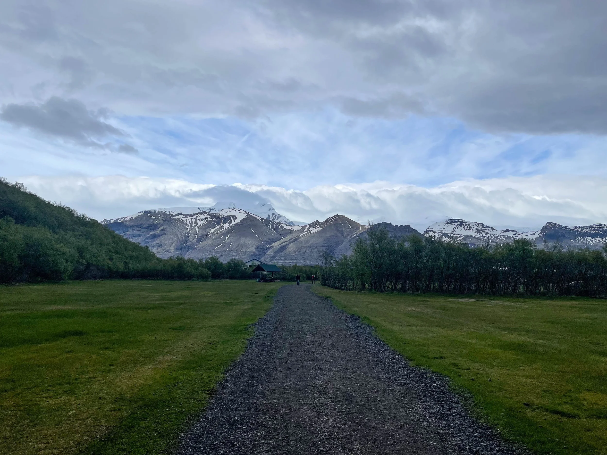
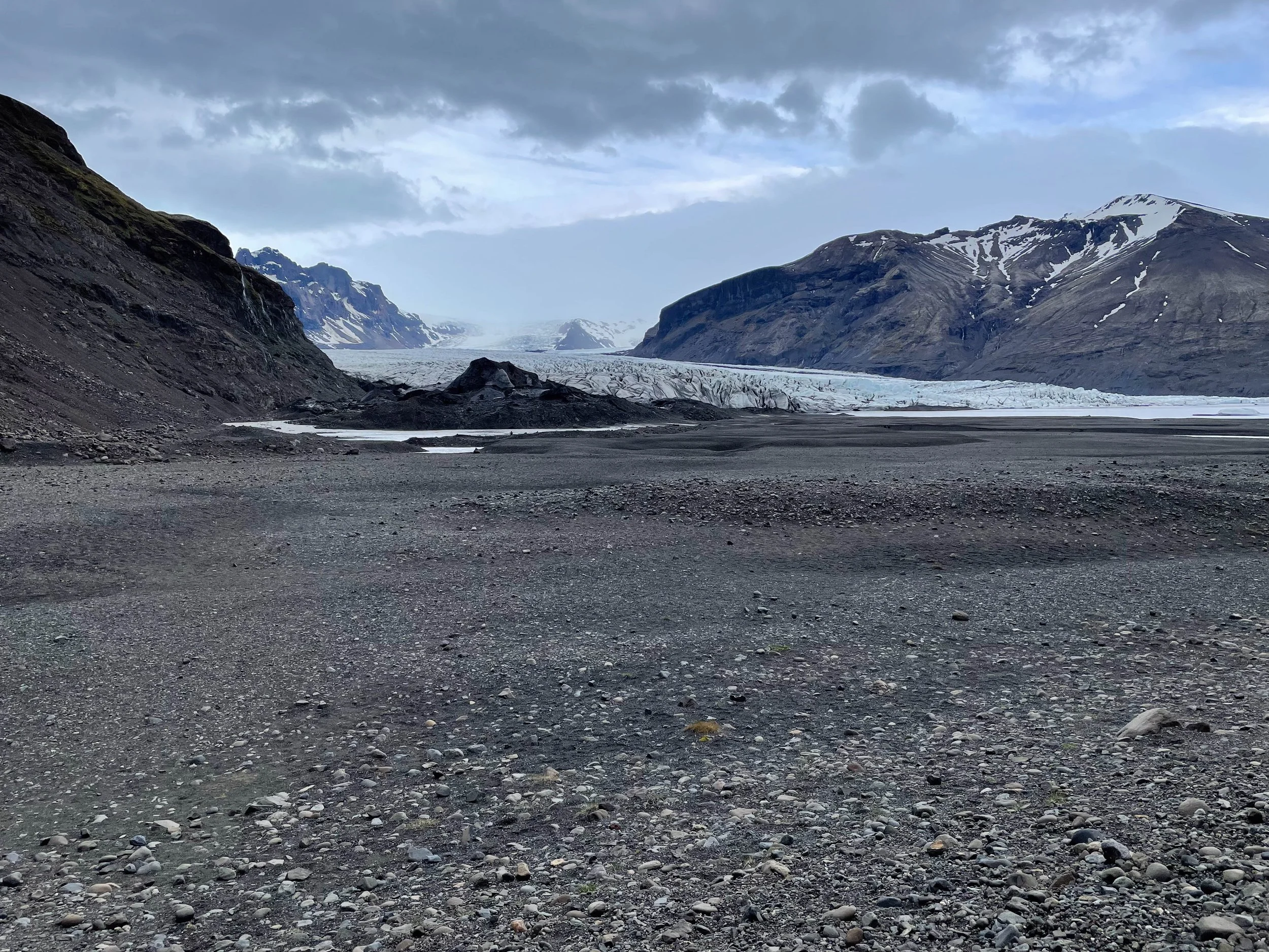
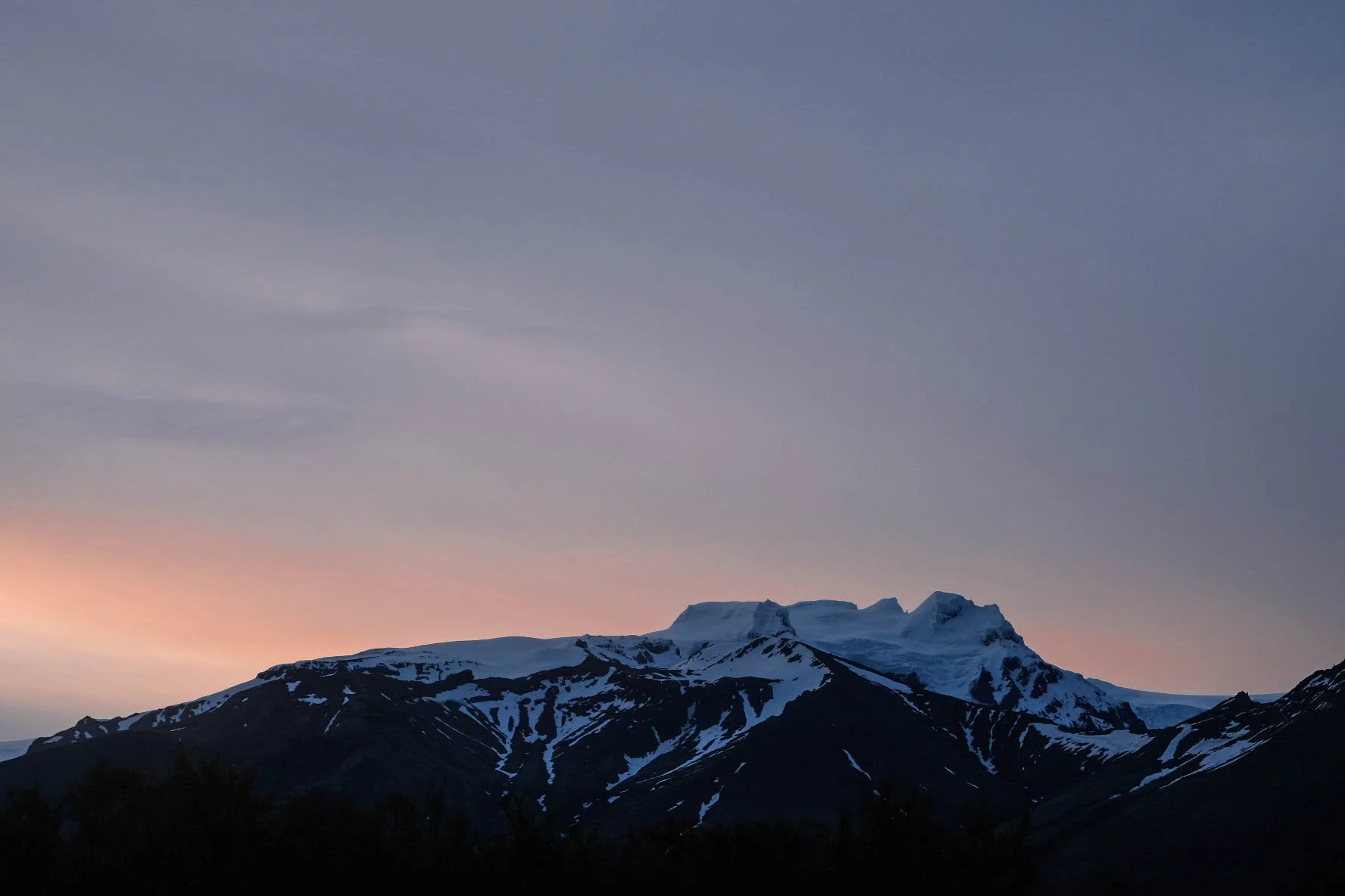
Day 5: Seydisfjordur-Skaftafell | Skaftafell tjaldsvæði
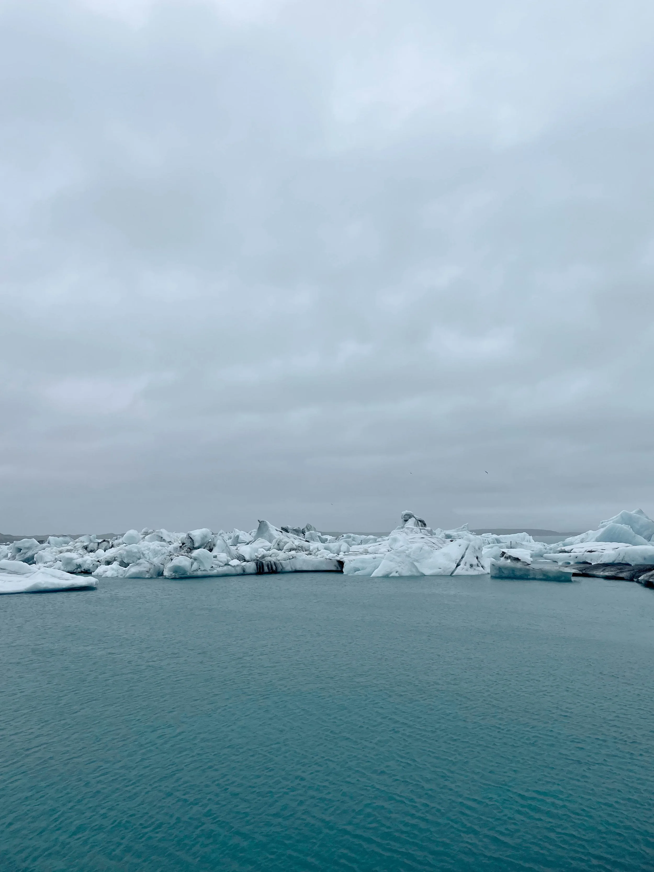
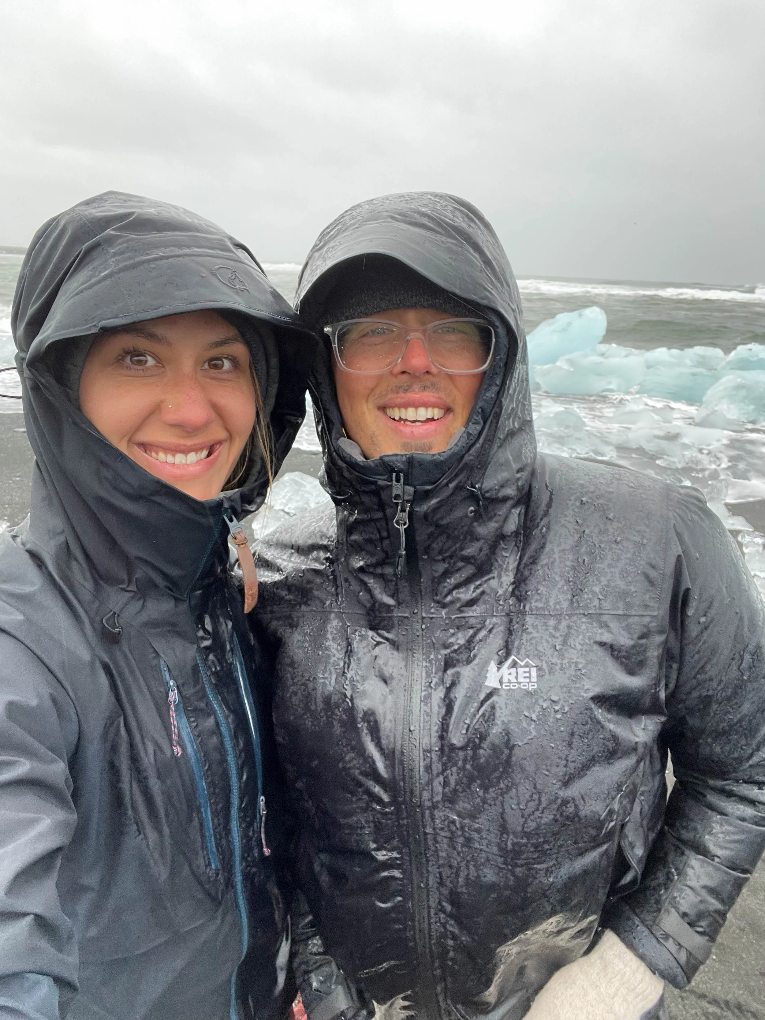
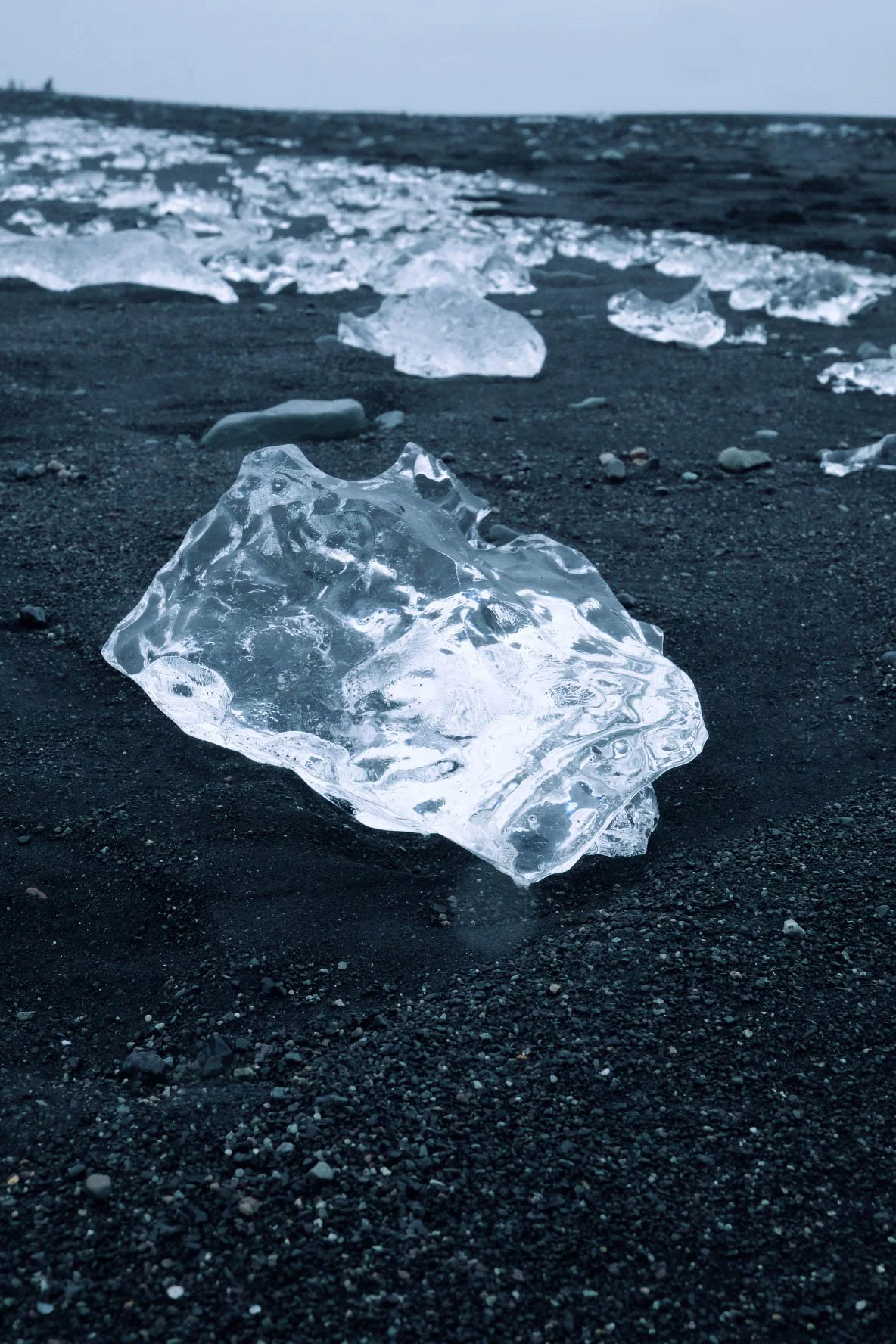
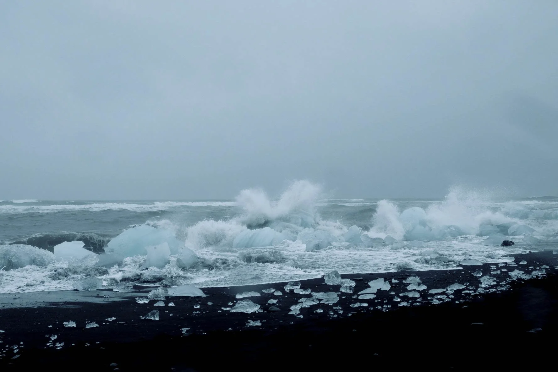
Stops: Diamond Beach, Skaftafell Glacier Hike
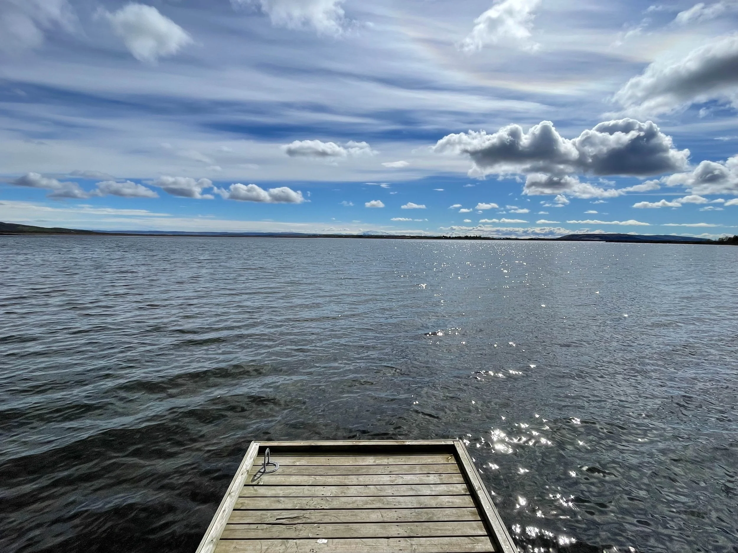
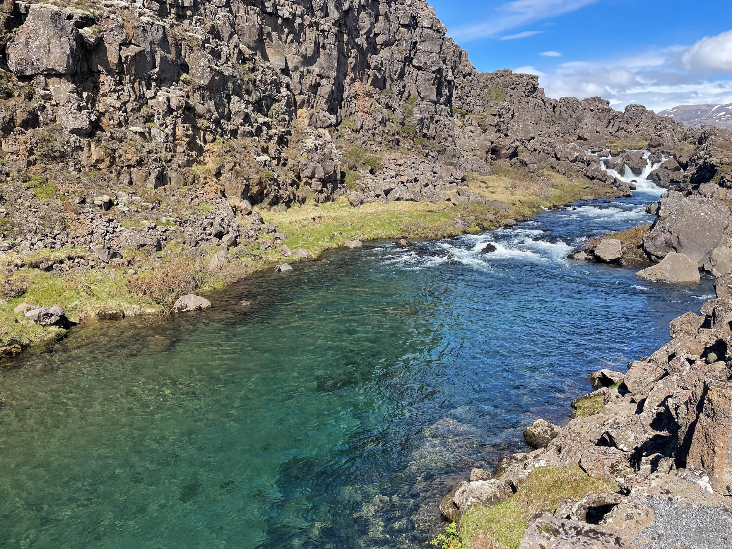
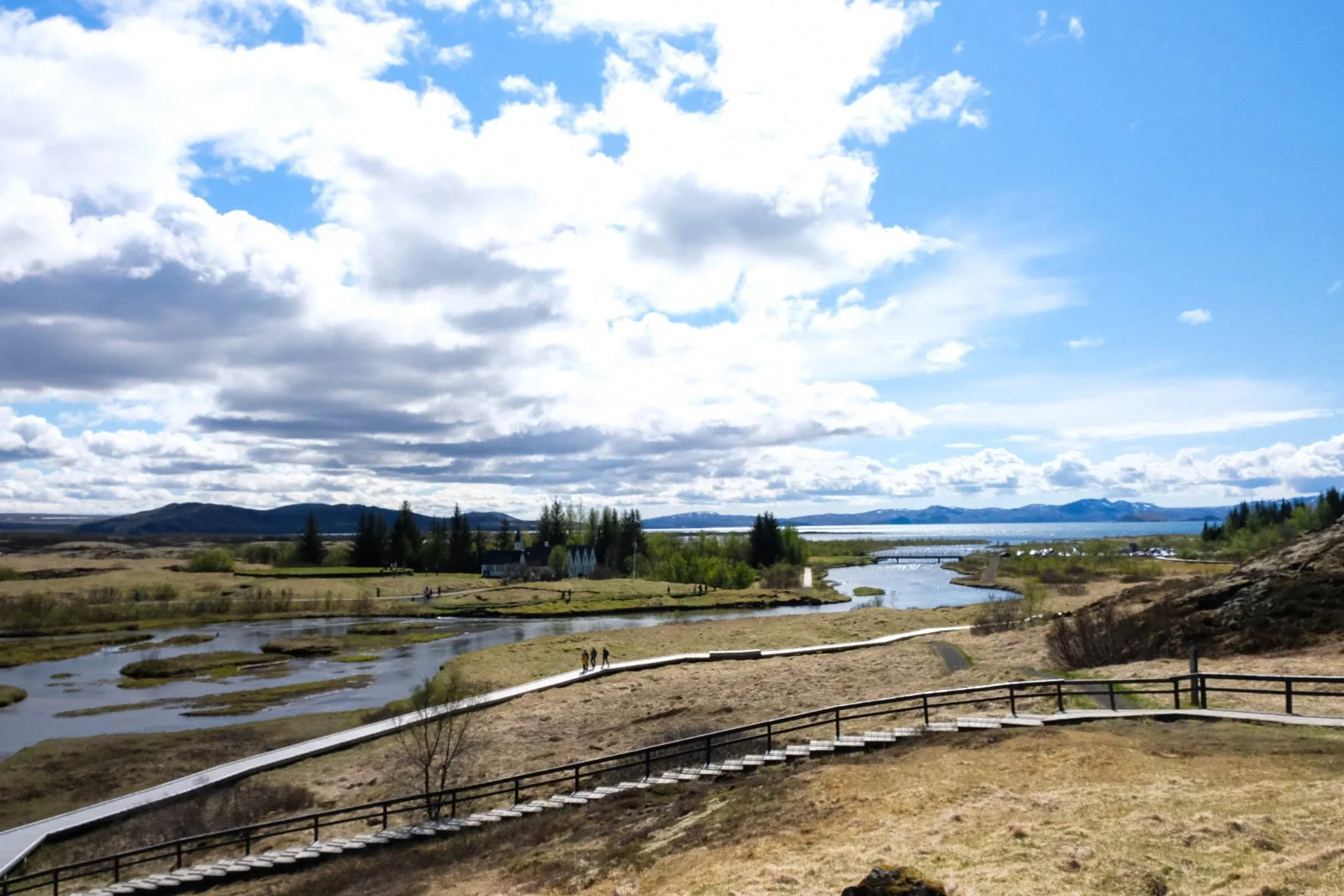
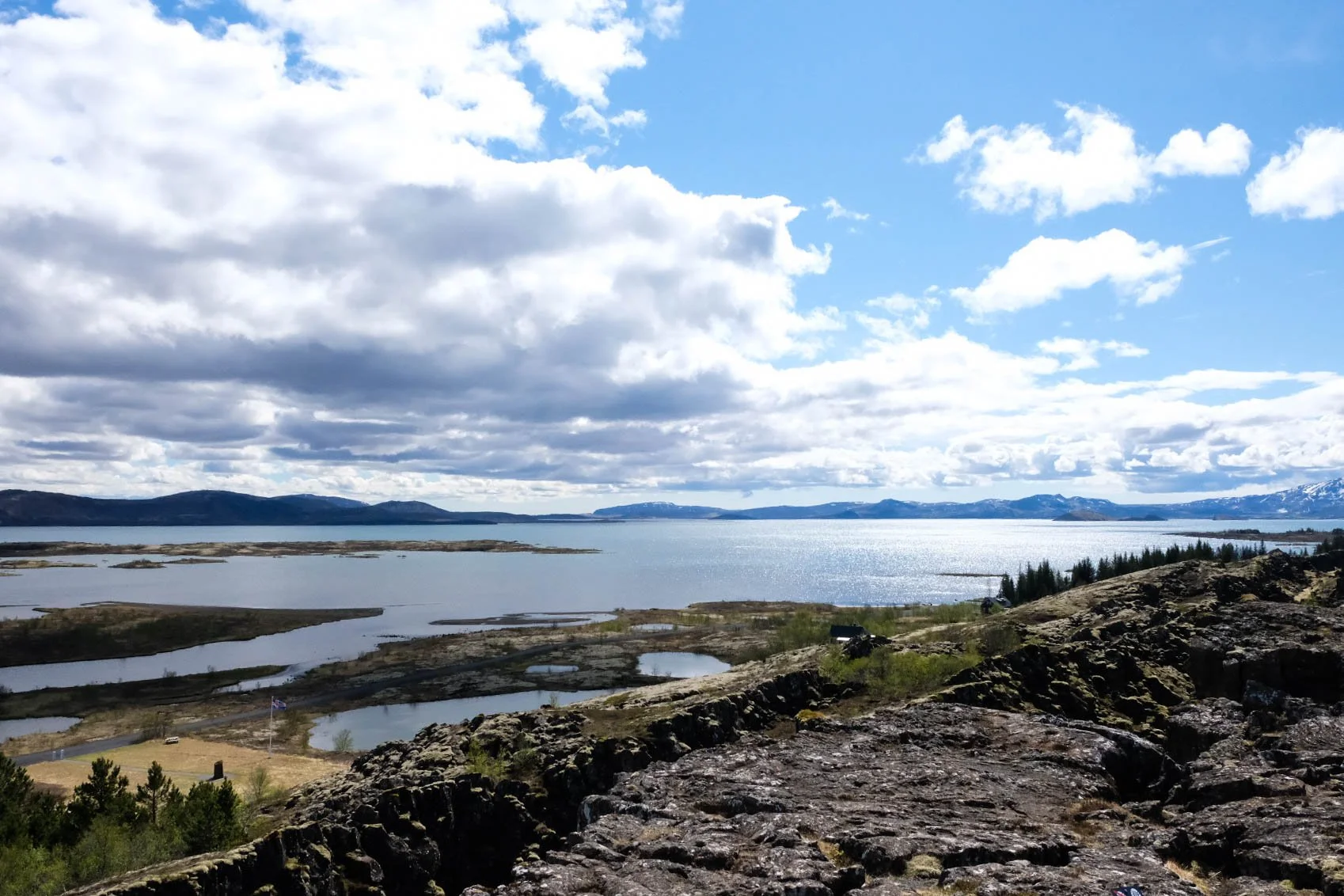
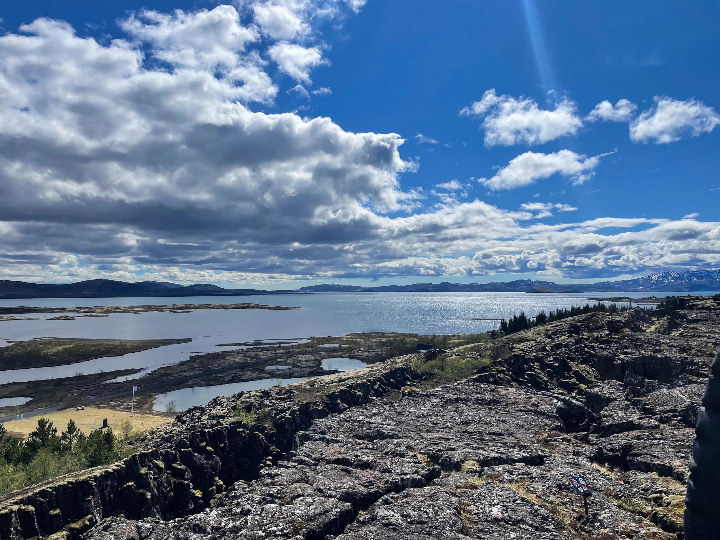
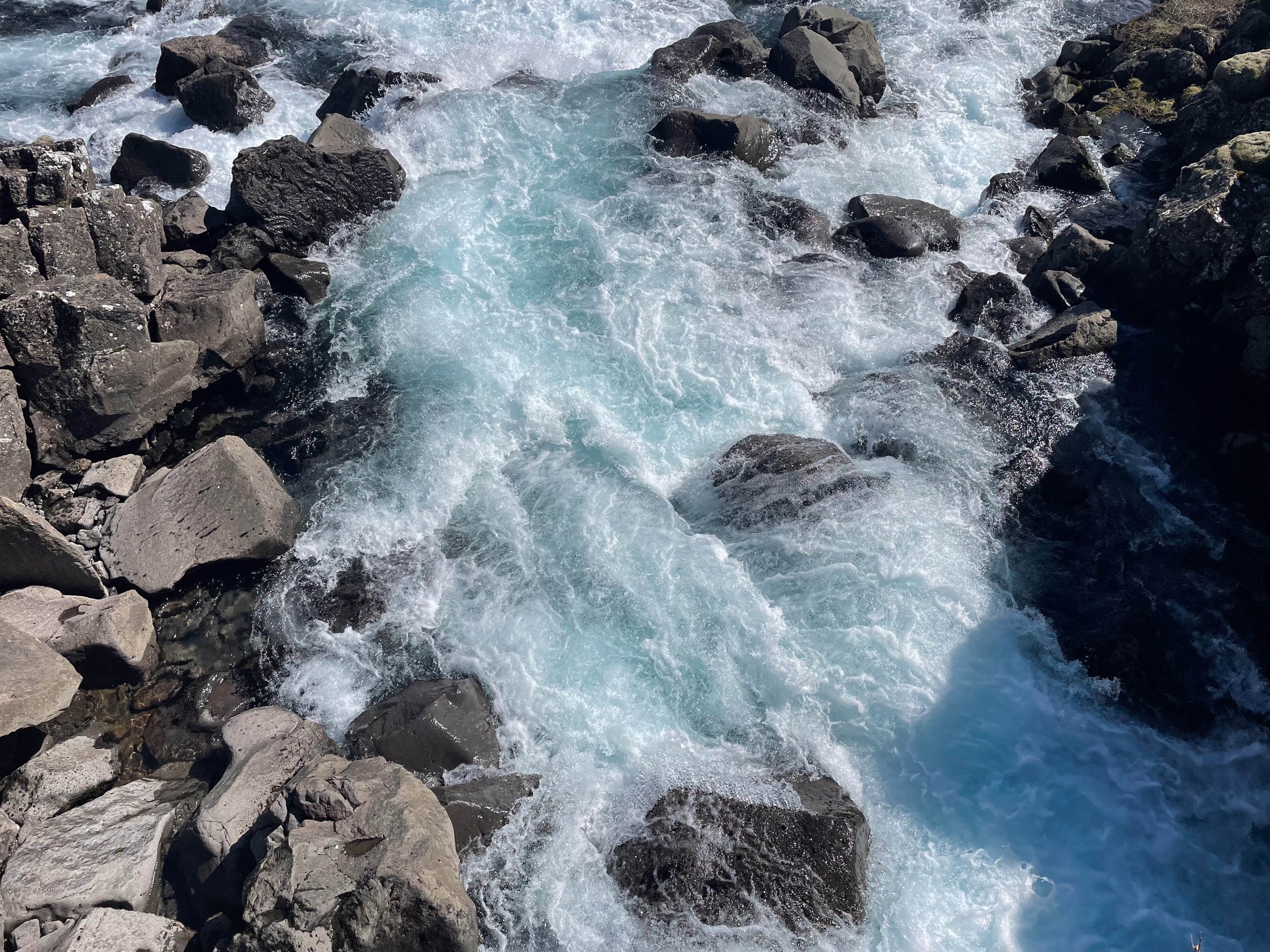
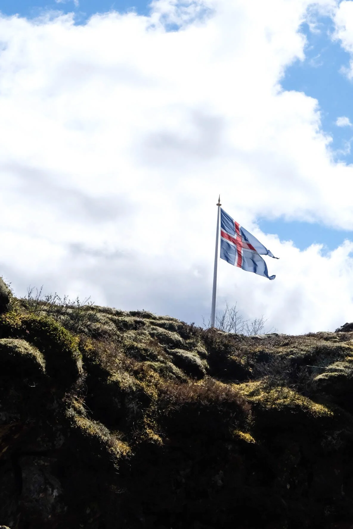
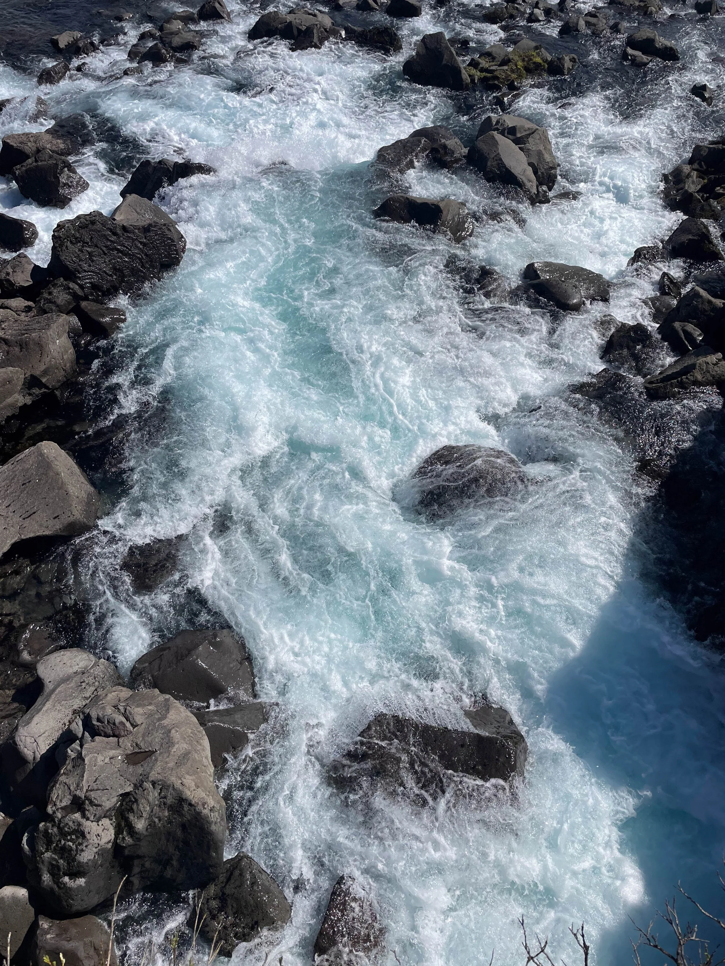
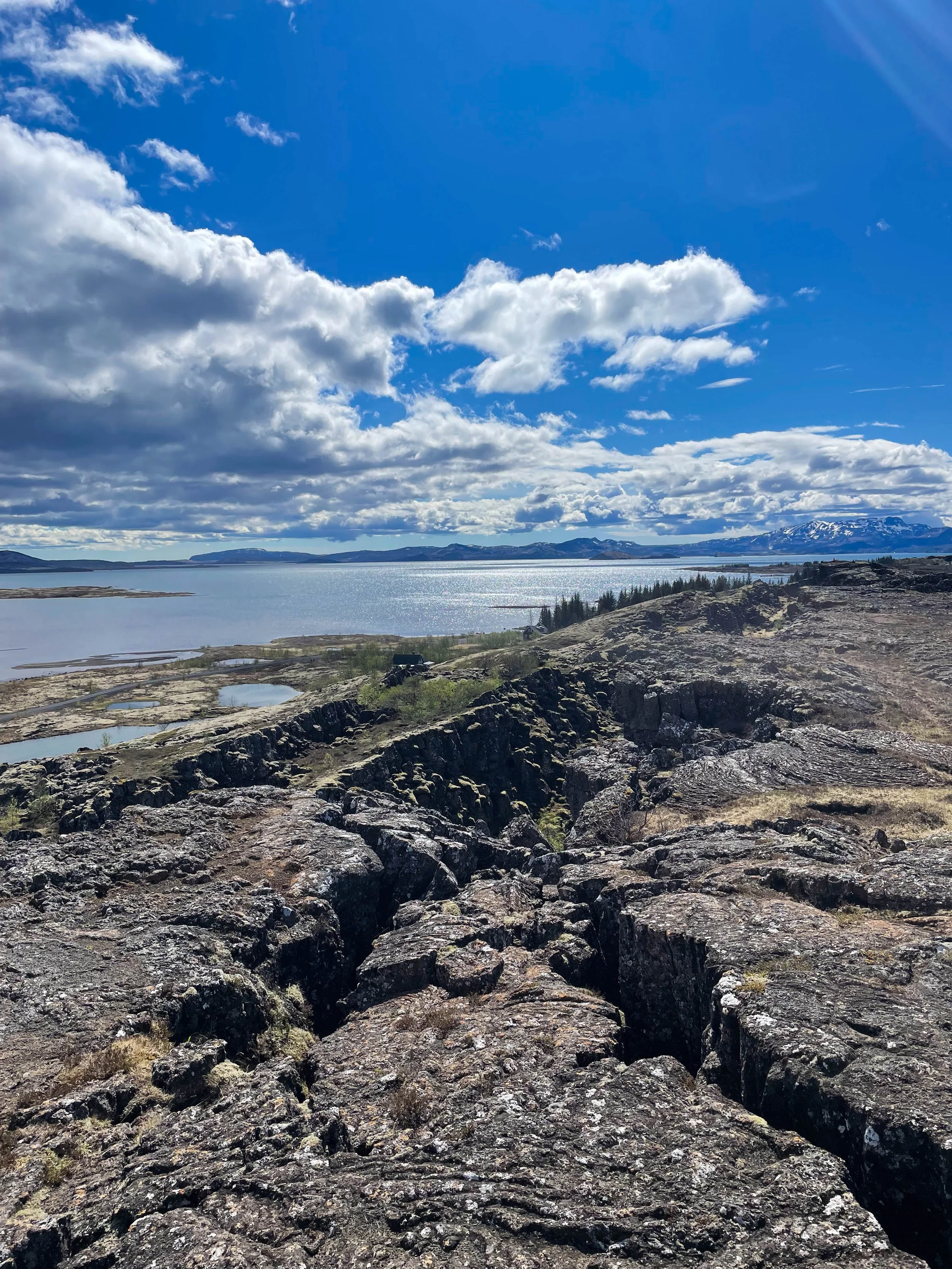
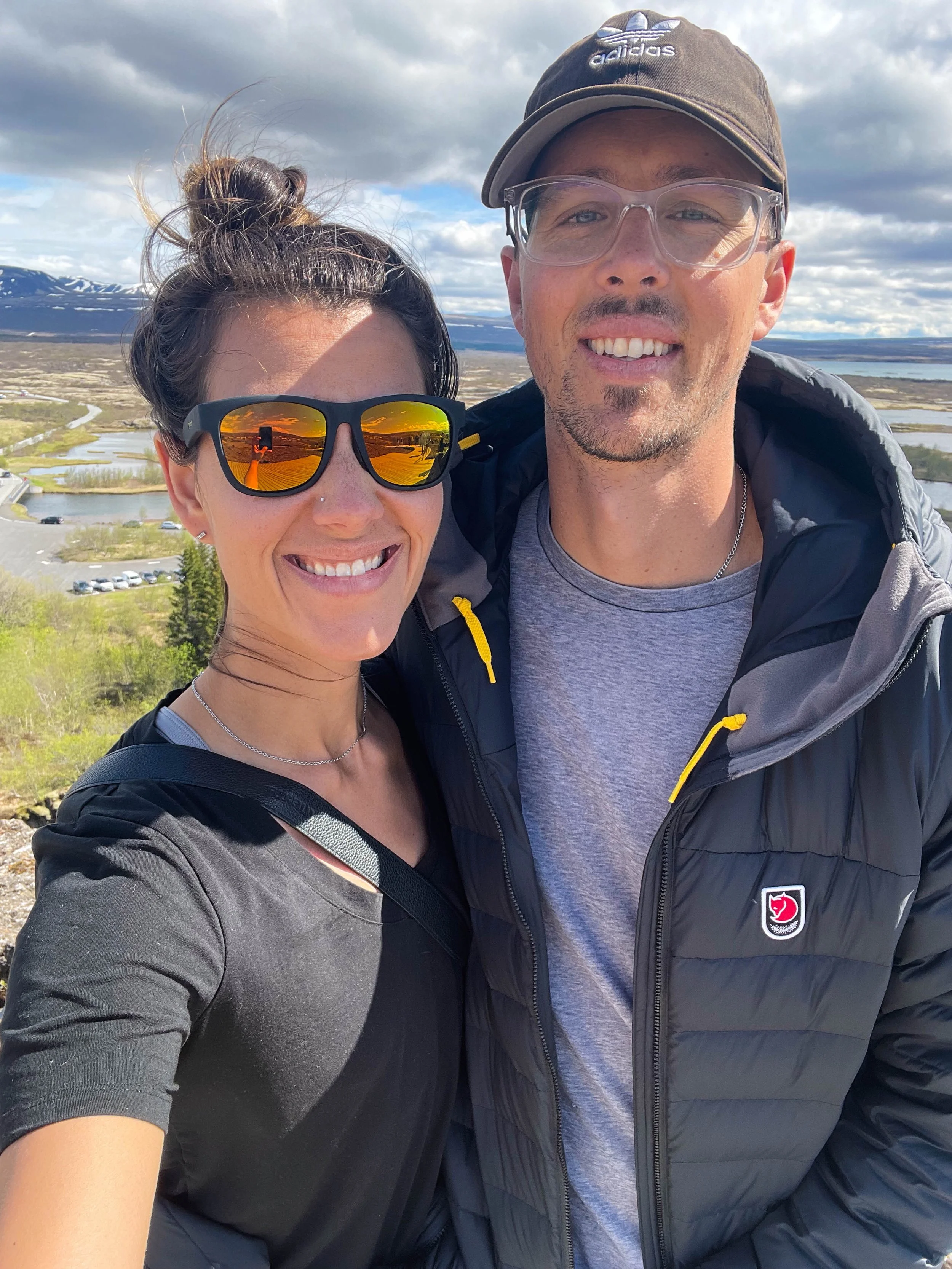
Day 6: Skaftafell-Thingvellir (Þingvellir) National Park | Þingvellir National Park
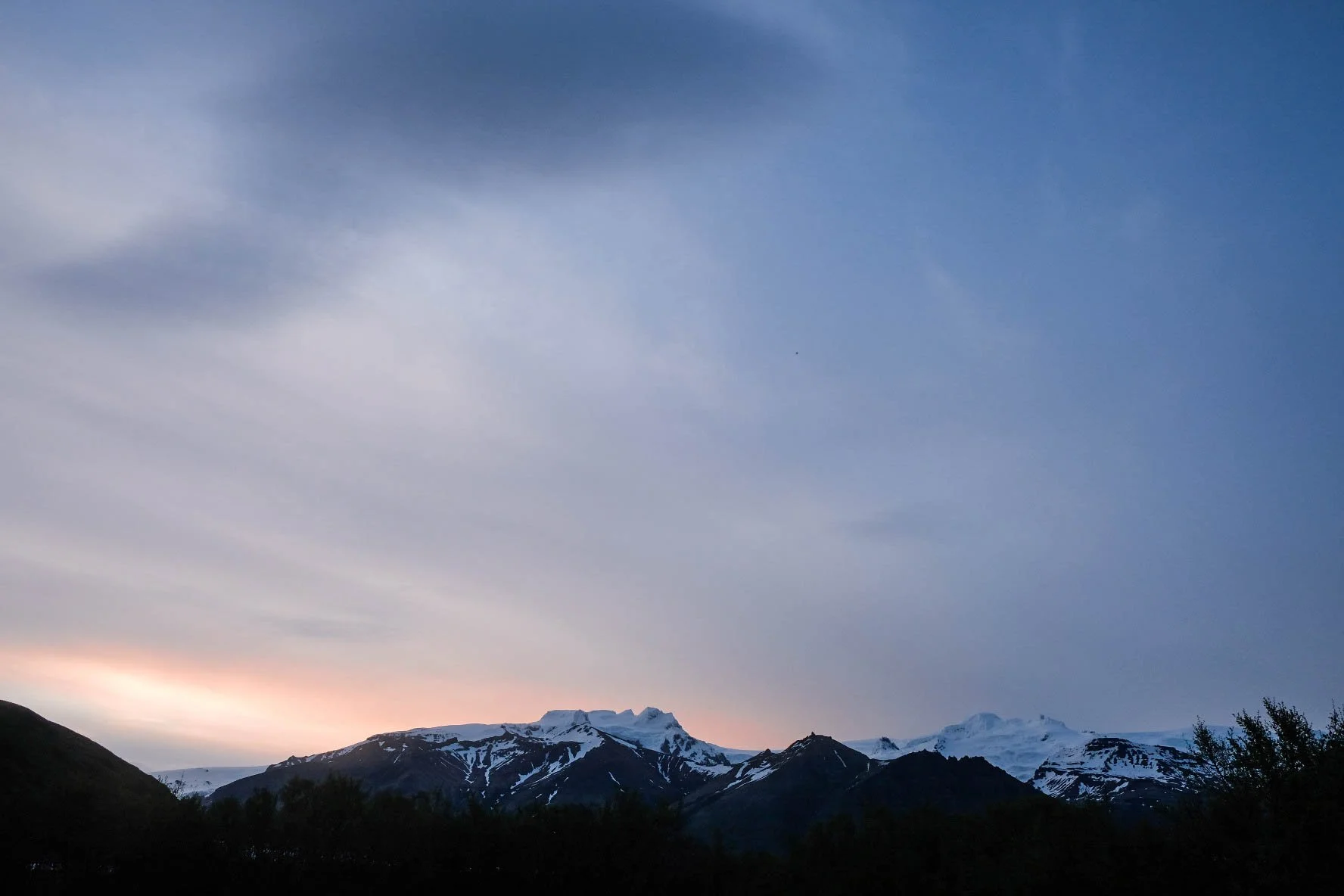
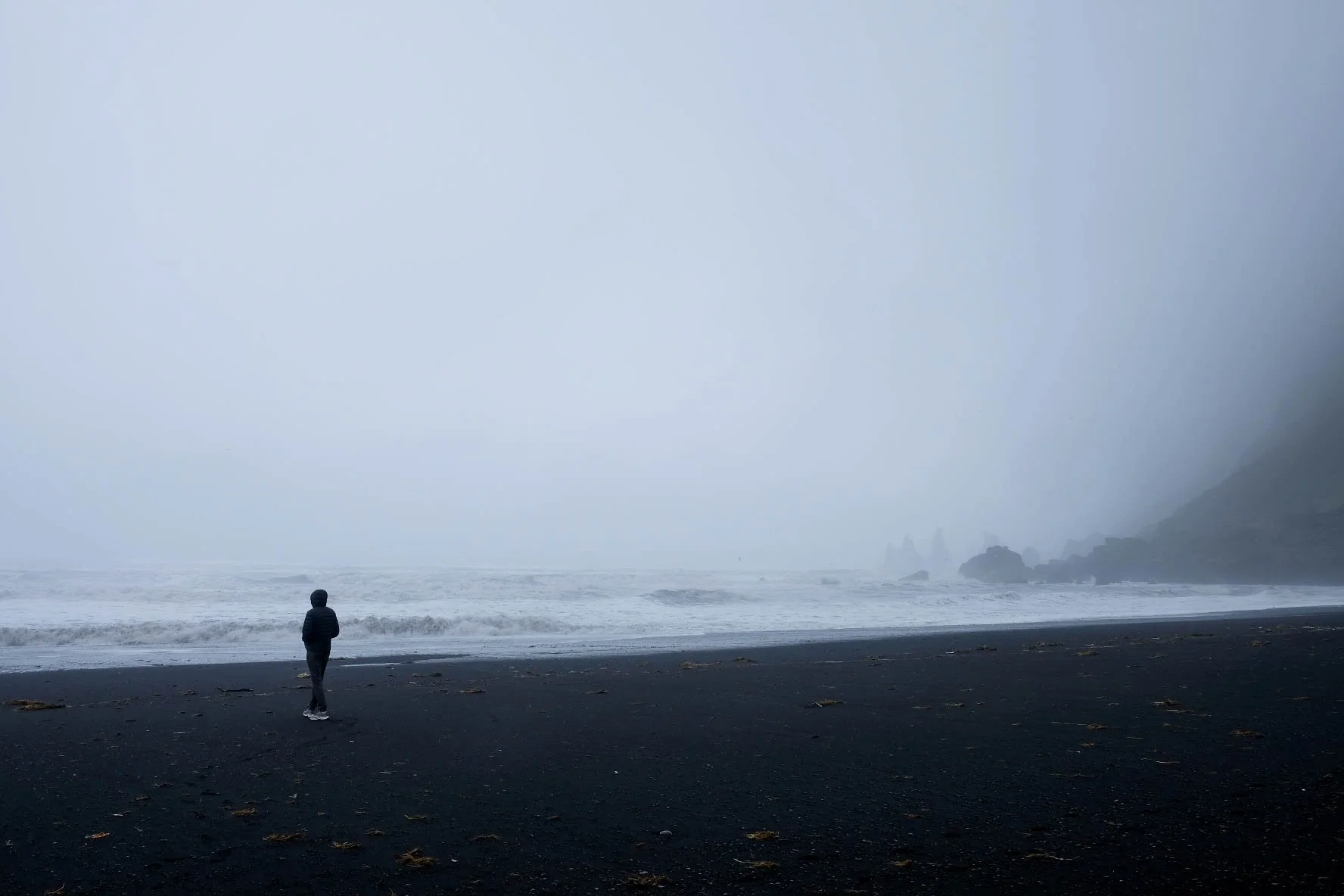
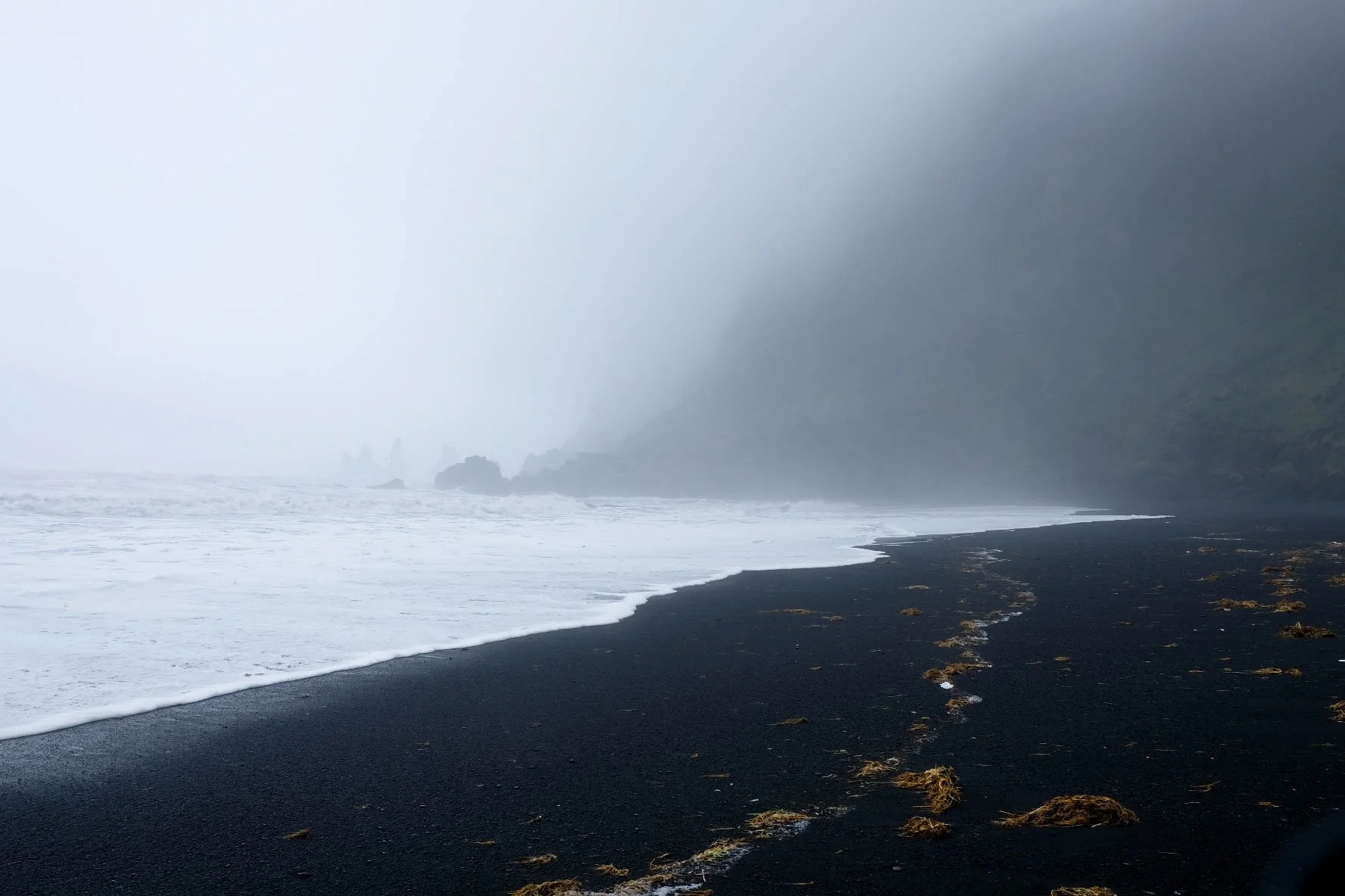
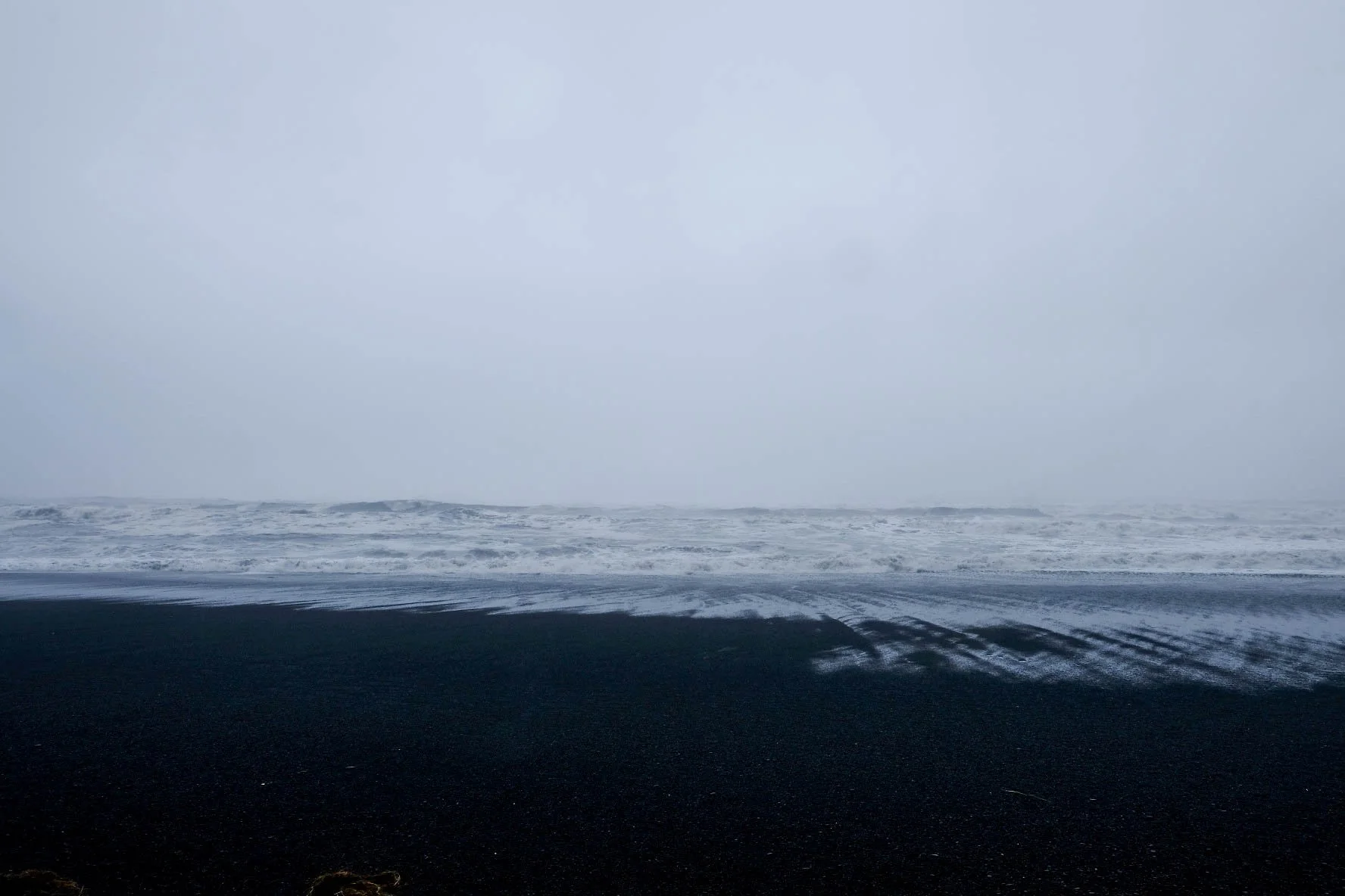
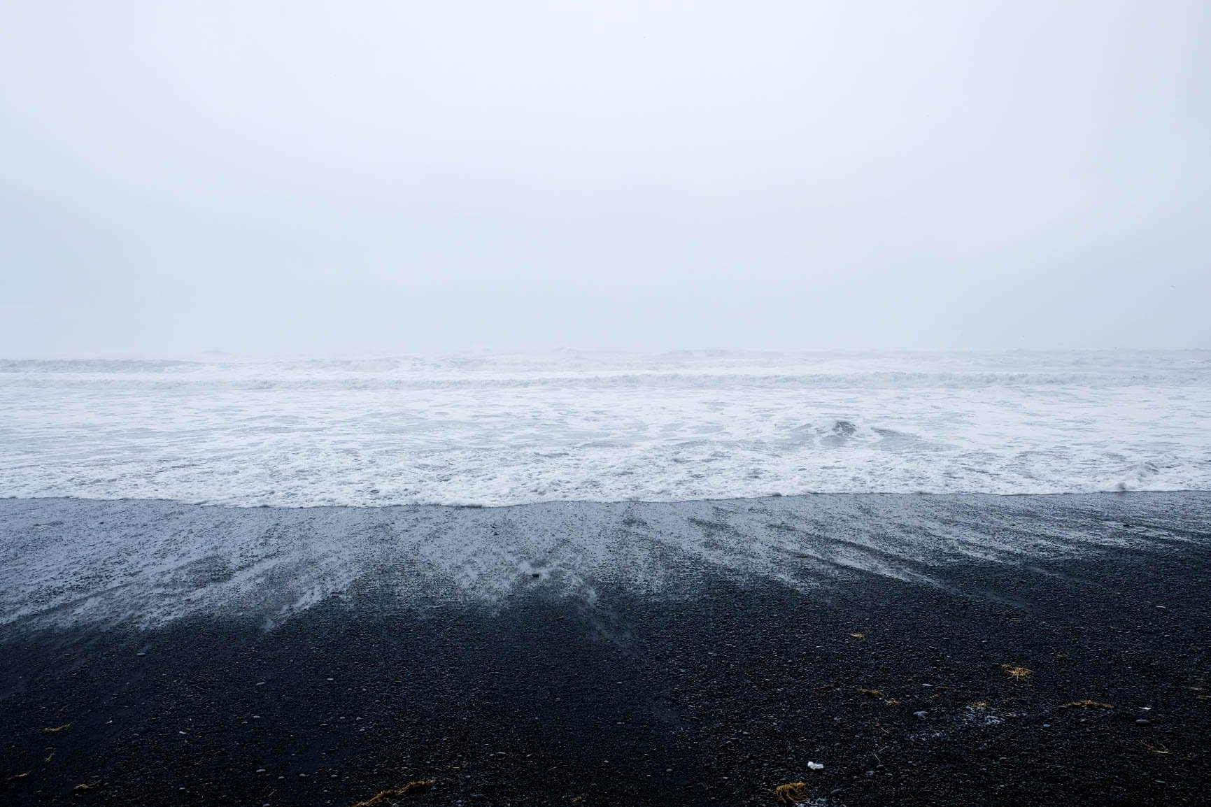
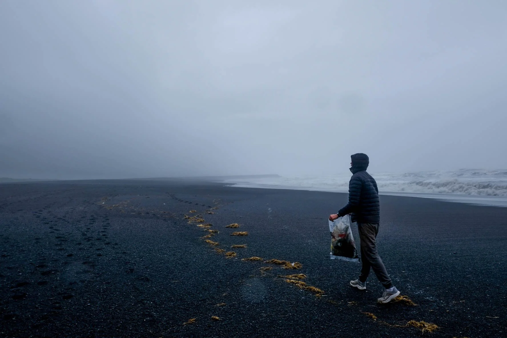
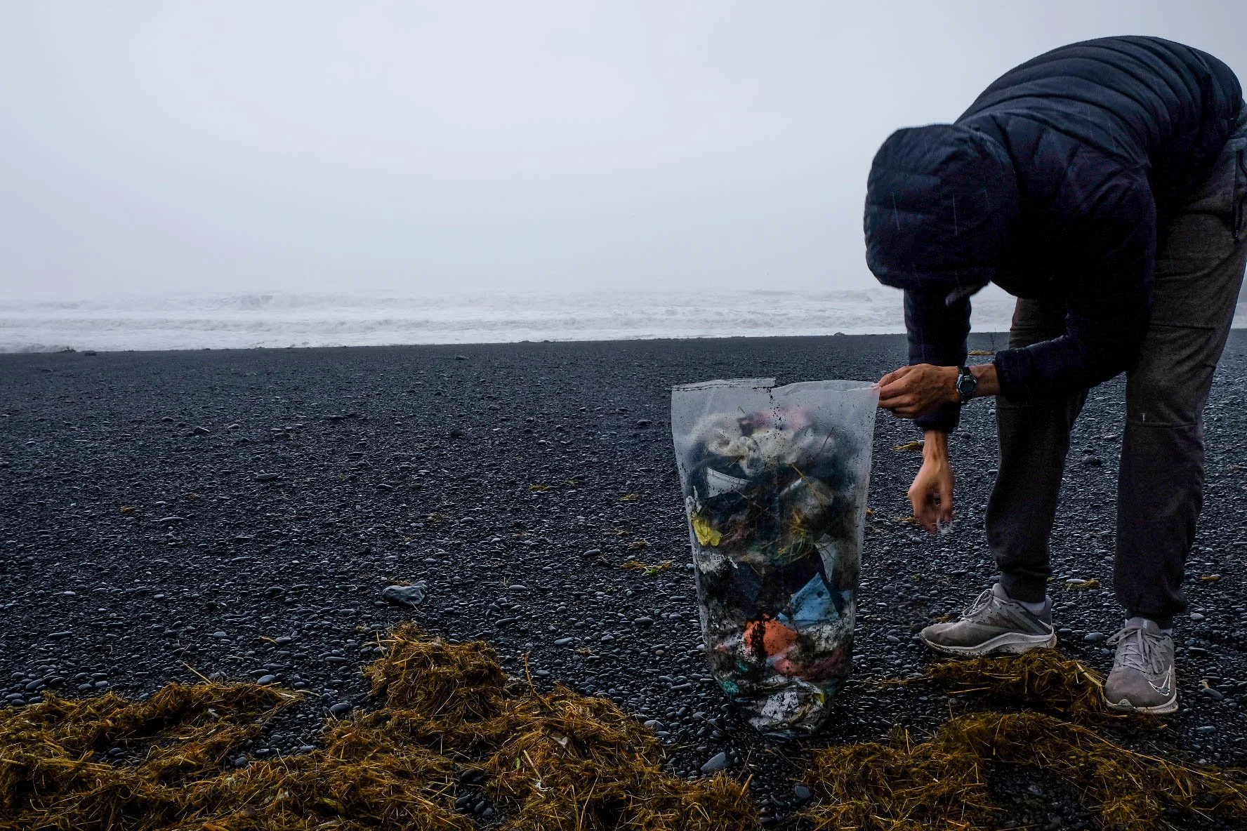
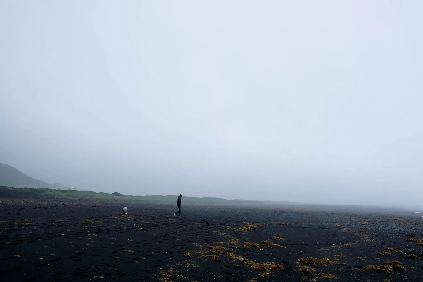
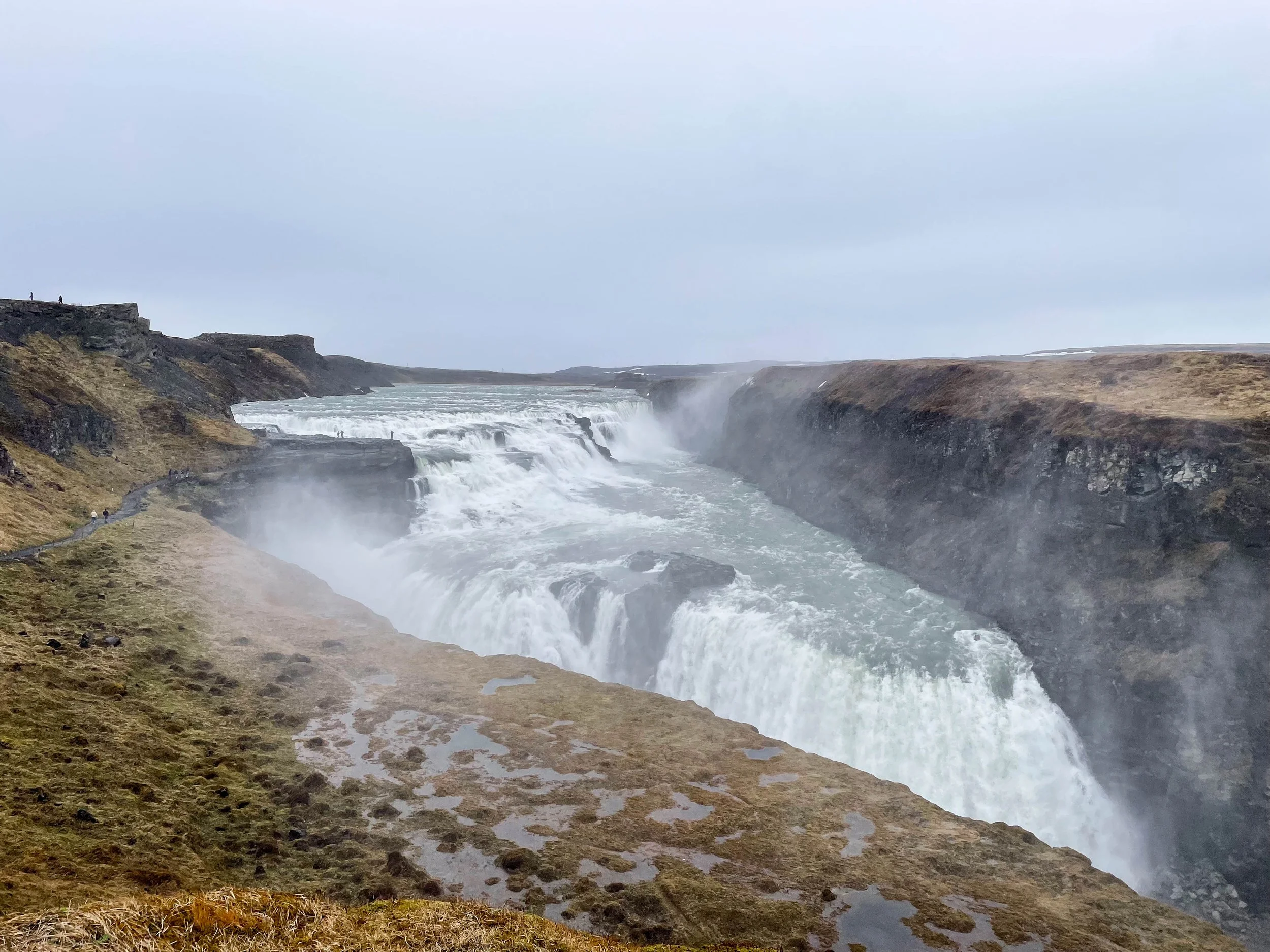
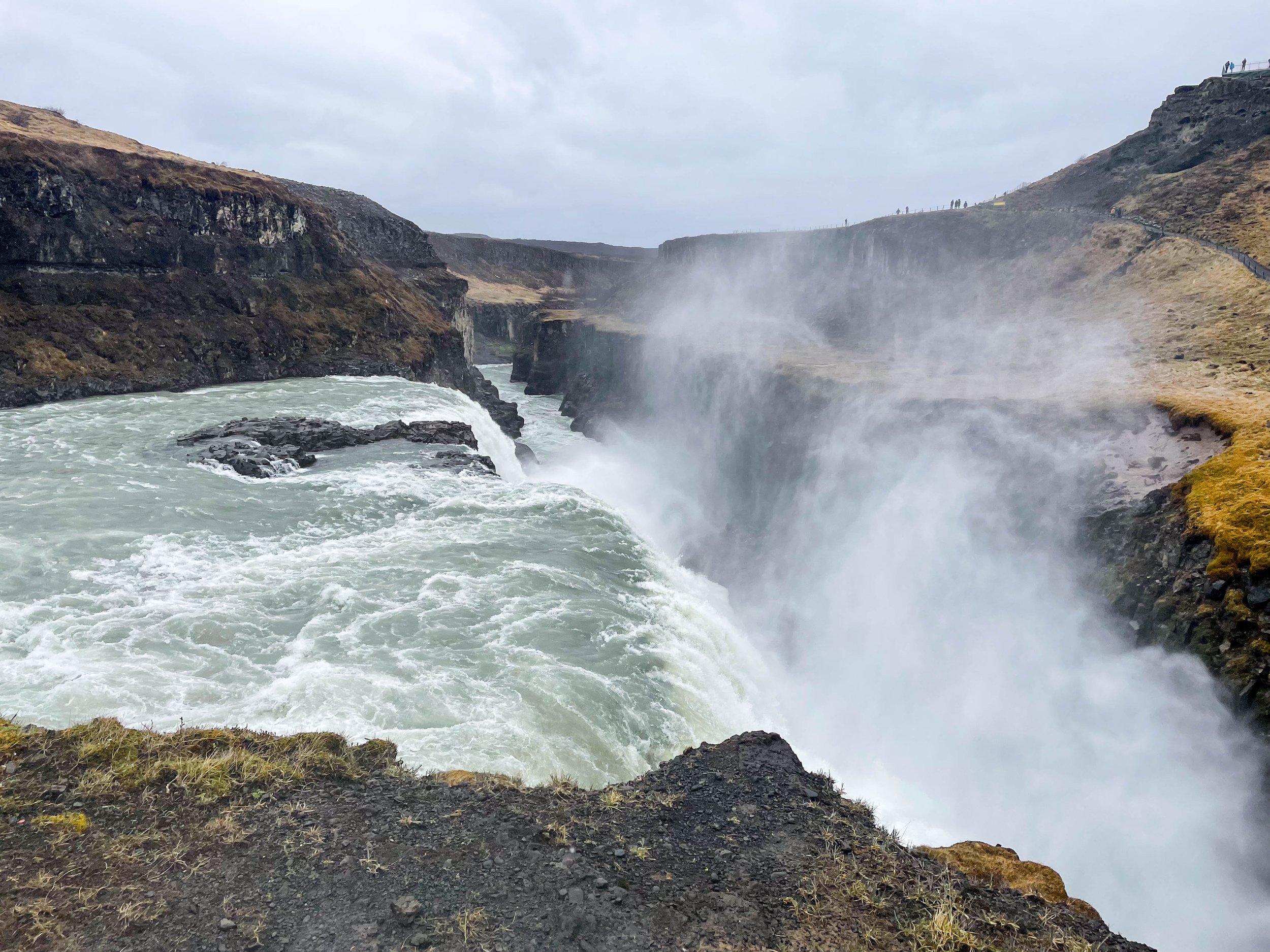
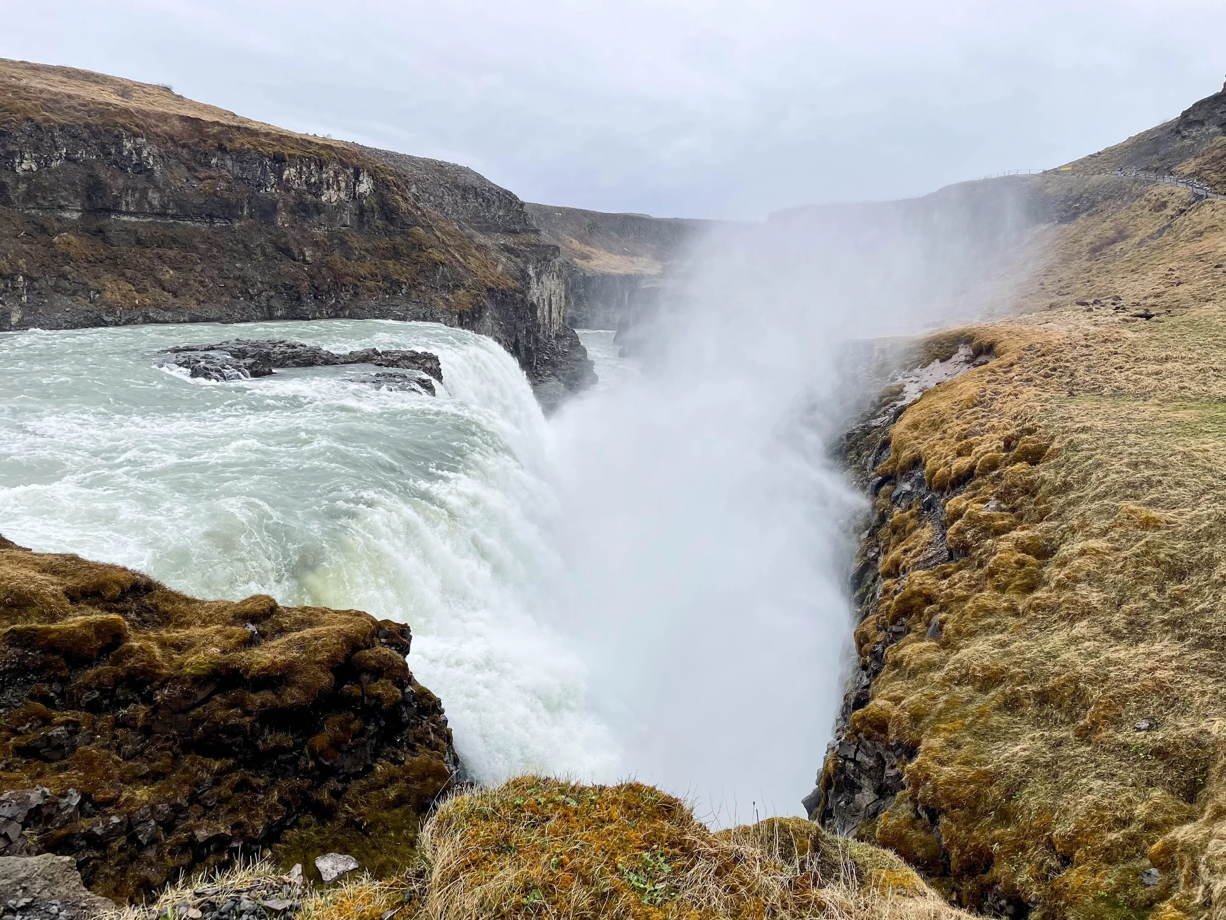
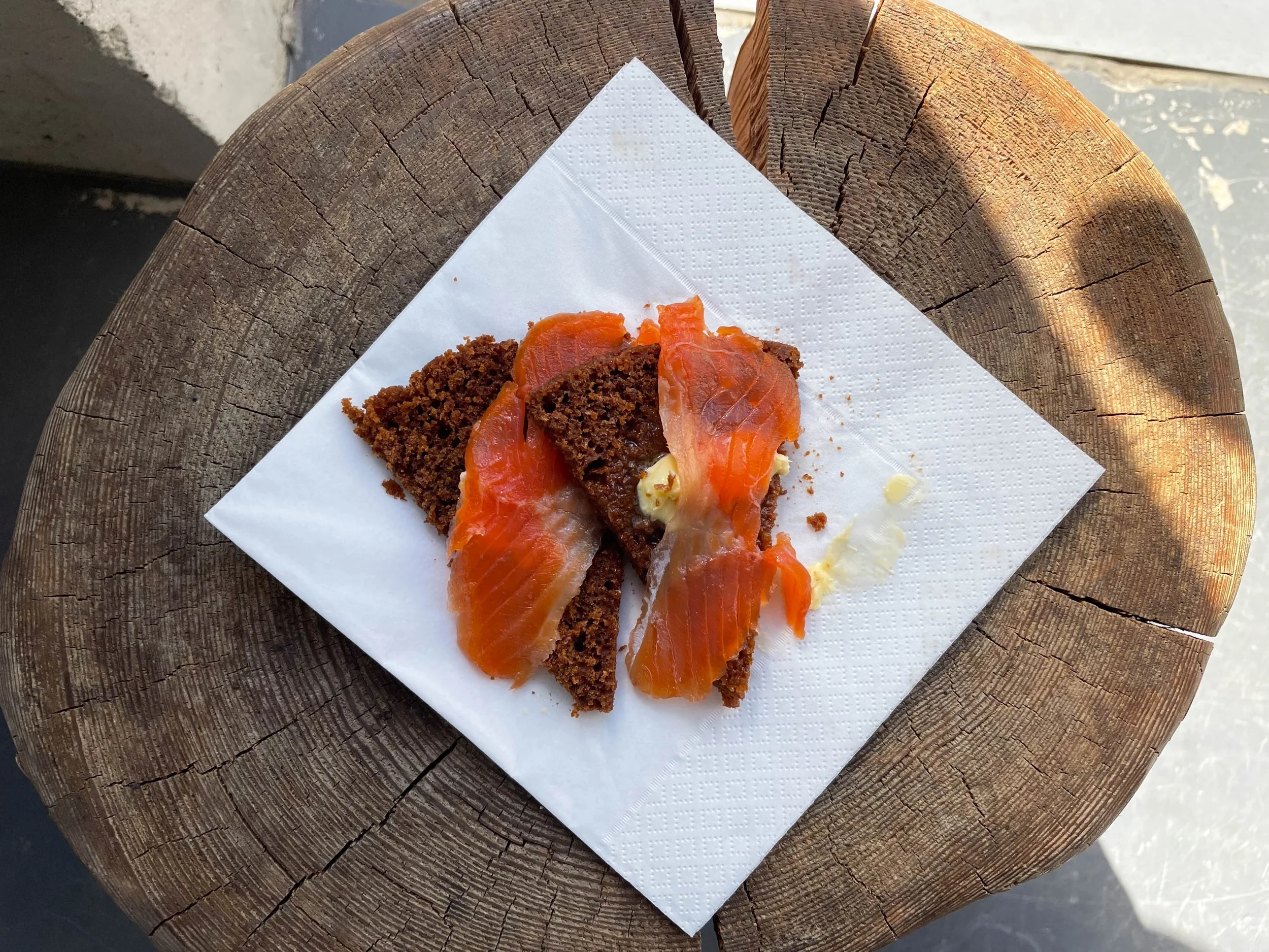
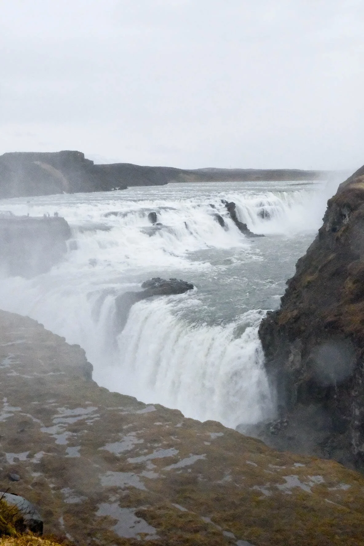
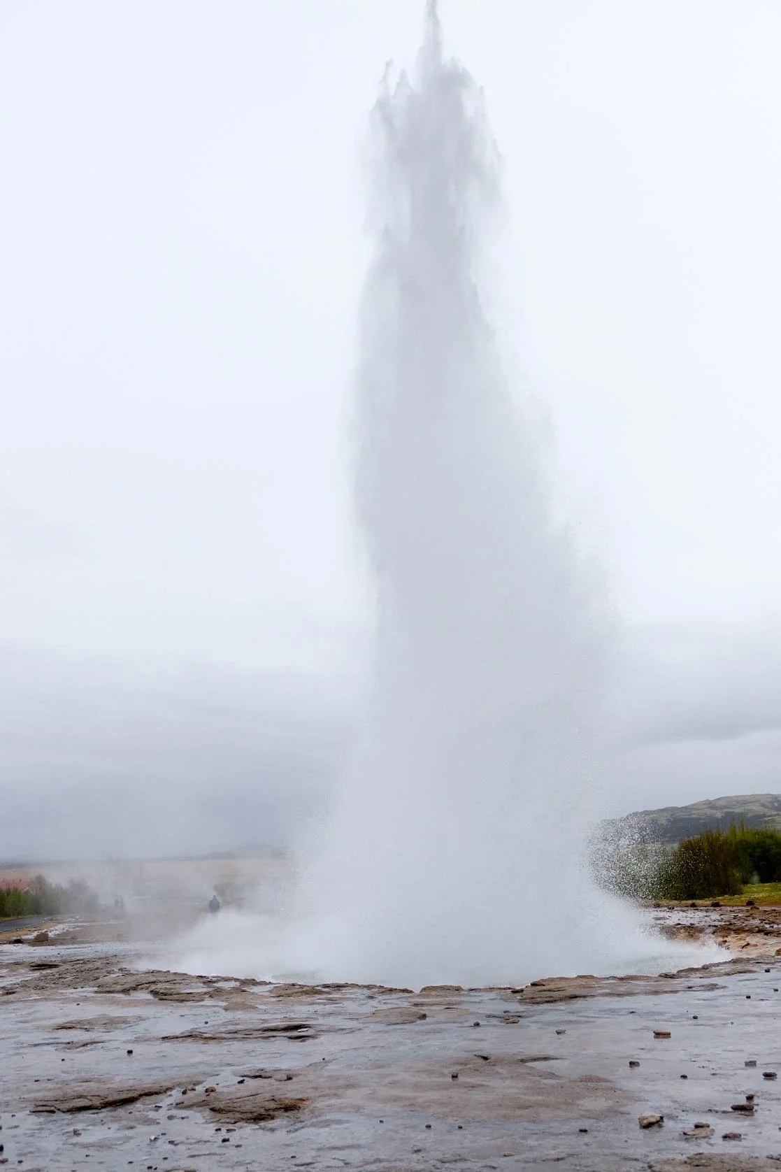
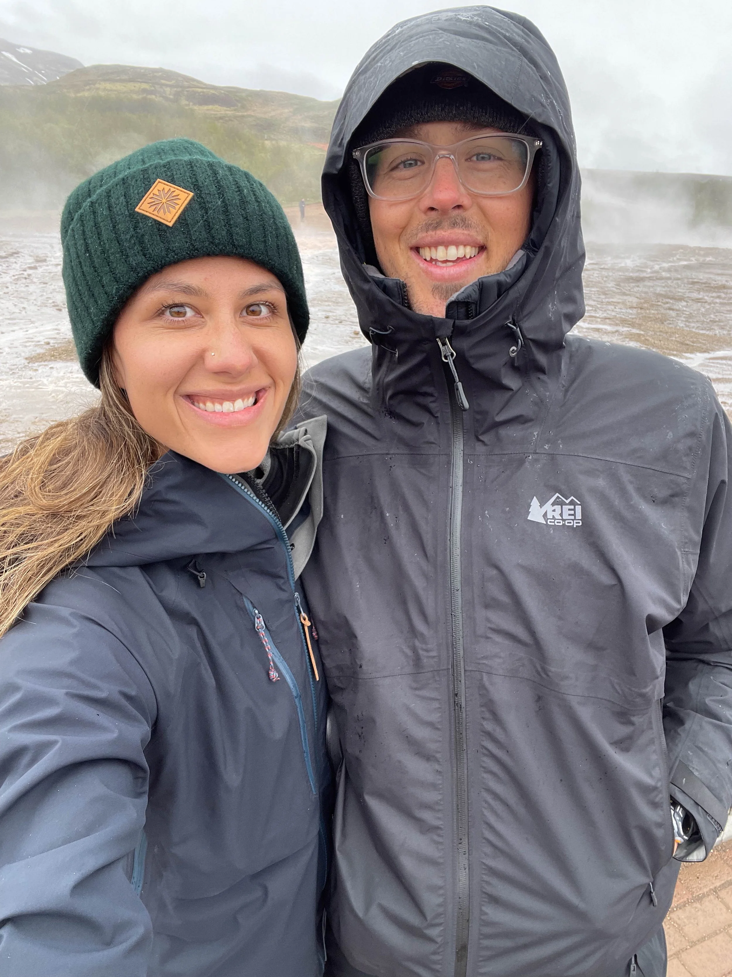
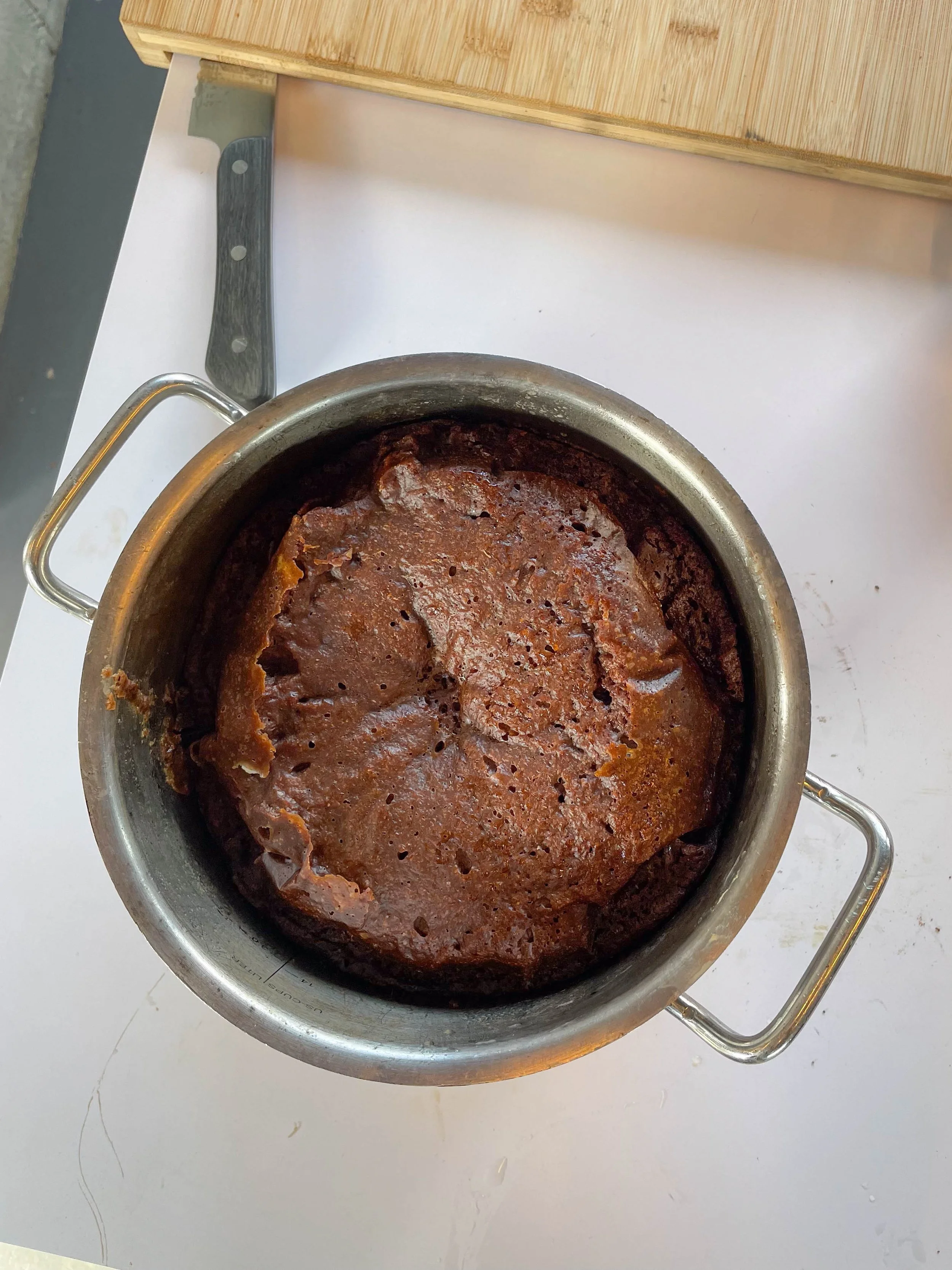
Stops: Vik Black Sand Beach, Golden Circle: Gullfoss Falls, Geysir Geothermal Area, Rye Bread Tour, Þingvellir National Park
Day 7: Thingvellir National Park-Reykjavík
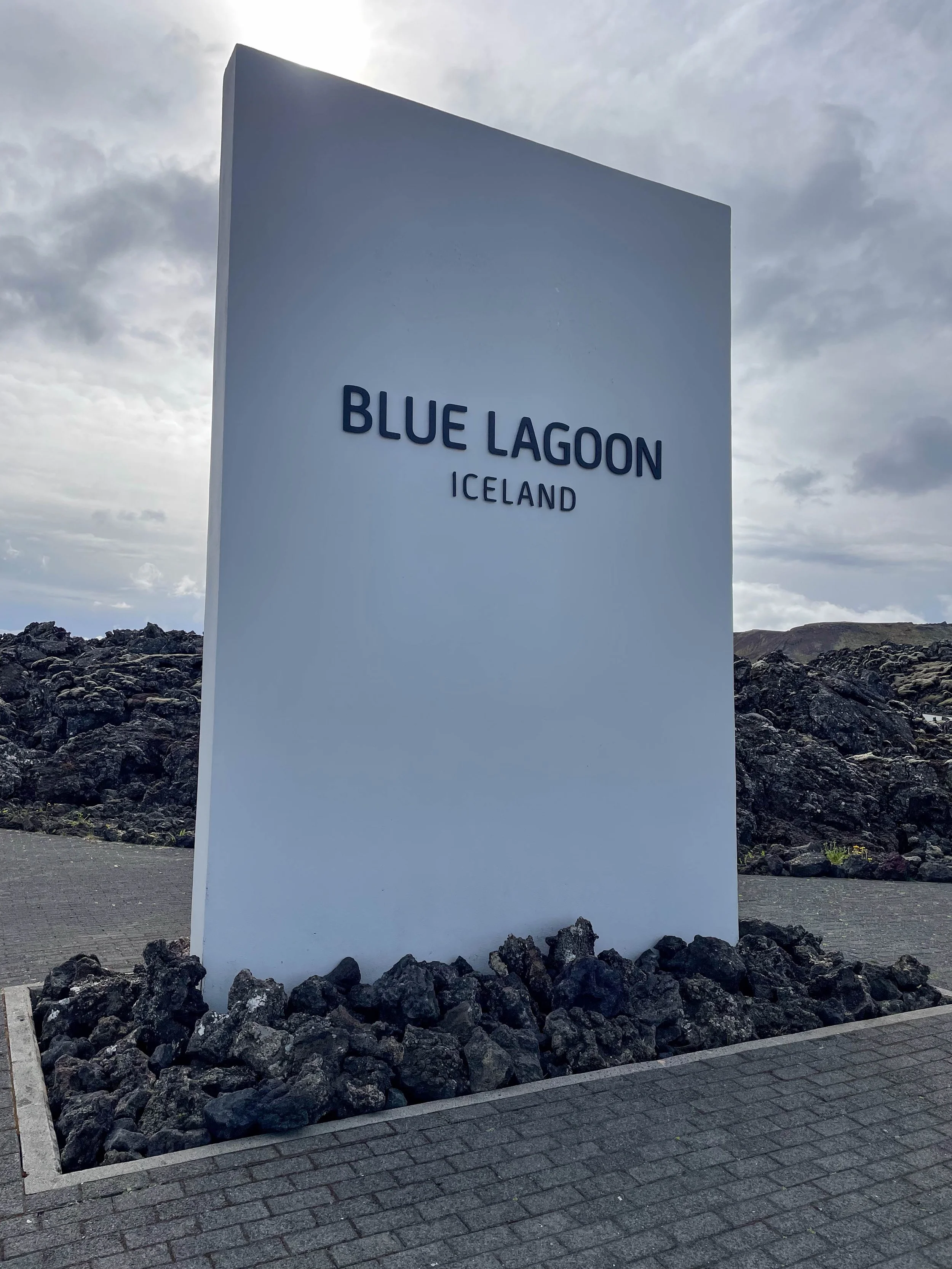
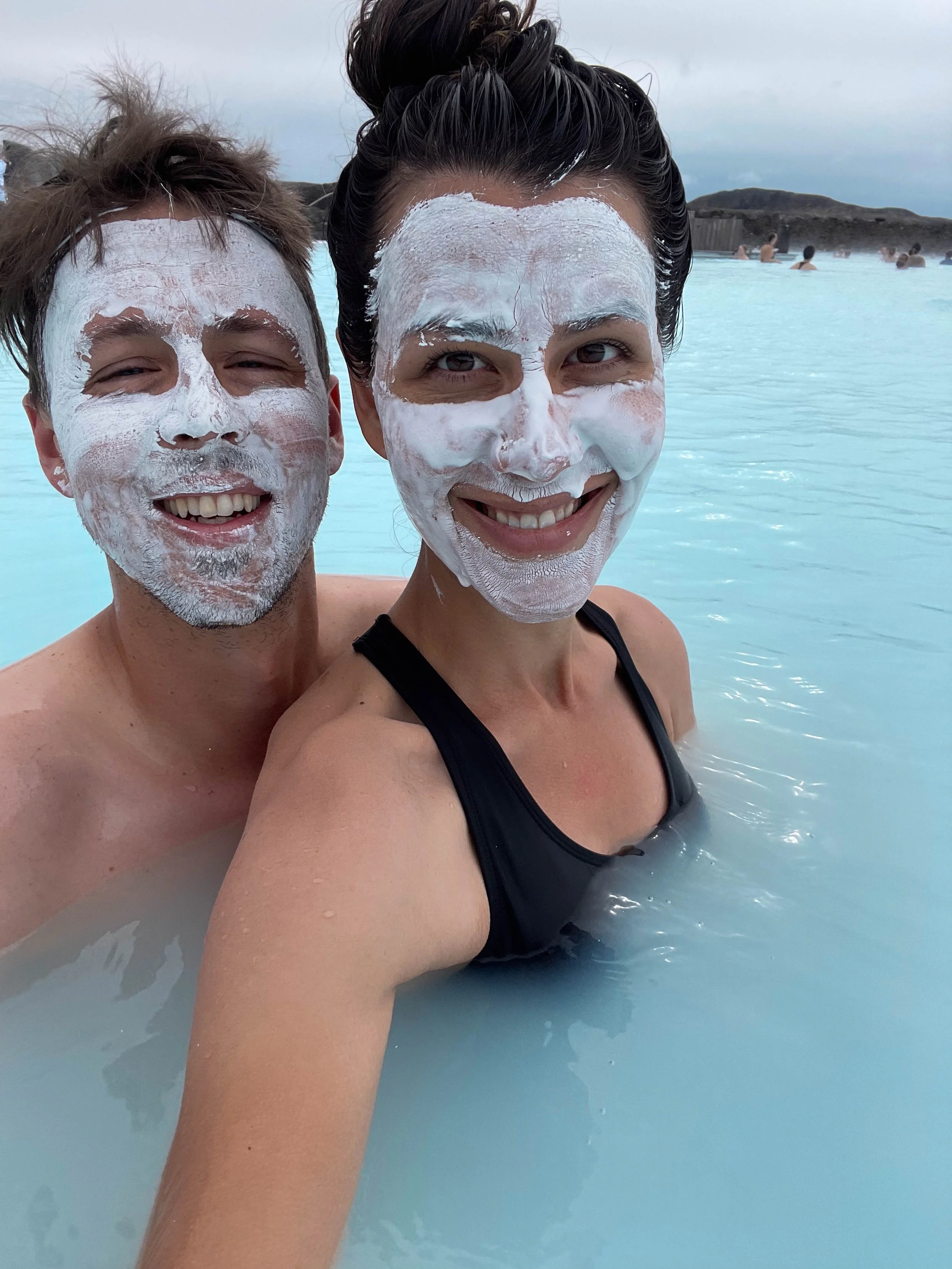
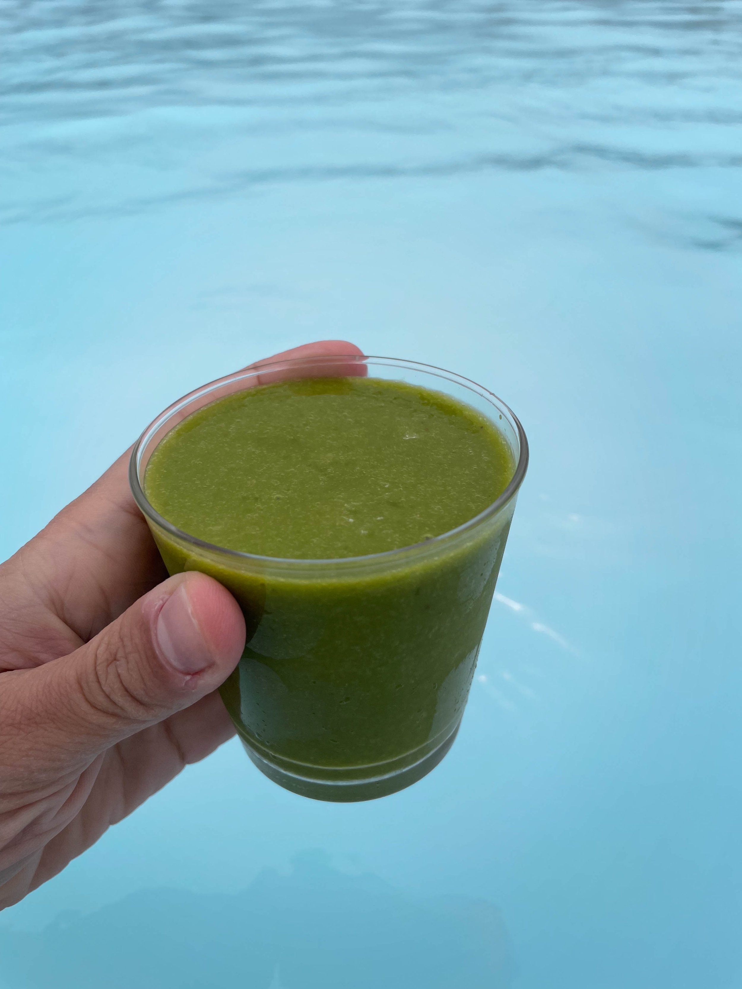
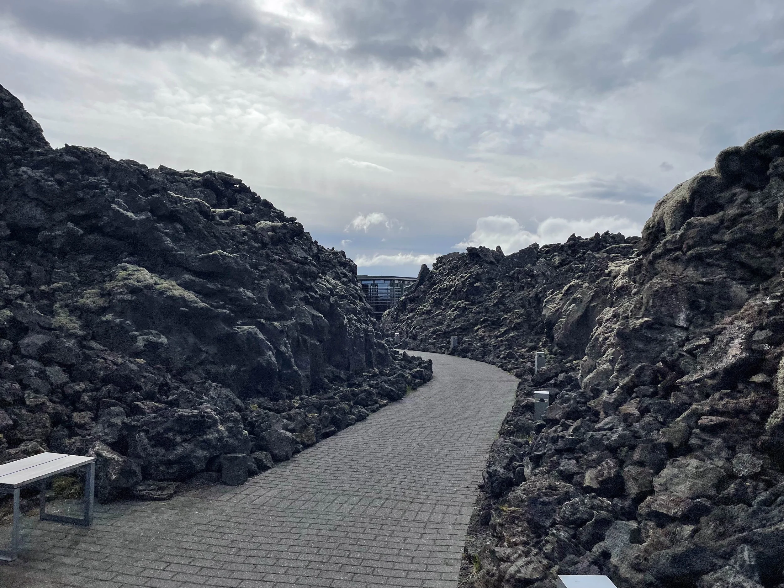
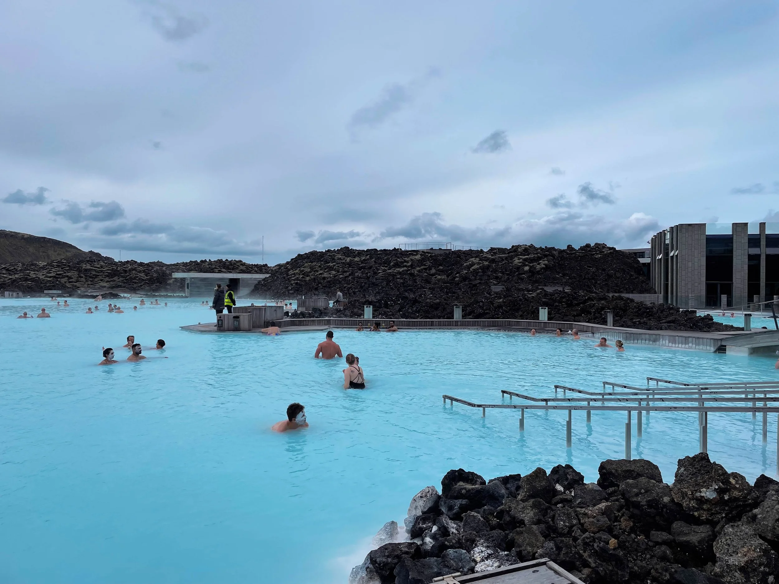
Stops: Blue Lagoon