Grand Canyon
Park 39 | Multiple visits
Rim to River: Backpacking to Bright Angel Campground | March 2026
We celebrated our eighth anniversary with a backpacking trip to the bottom of the Grand Canyon. Although we’ve been counting the Grand Canyon as one of the parks we’ve visited since we’d both been here independently (we’ve done the same for Black Canyon of the Gunnison), this trip made it feel more official. Subsequently, I moved this post up to the top of our tally, marking it as the more recent park we’ve visited.
Day 1 | Descent: South Rim to Bright Angel Campground/Phantom Ranch via South Kaibab Trail
Distance: 7.5 miles | Elevation loss: -4,700 ft
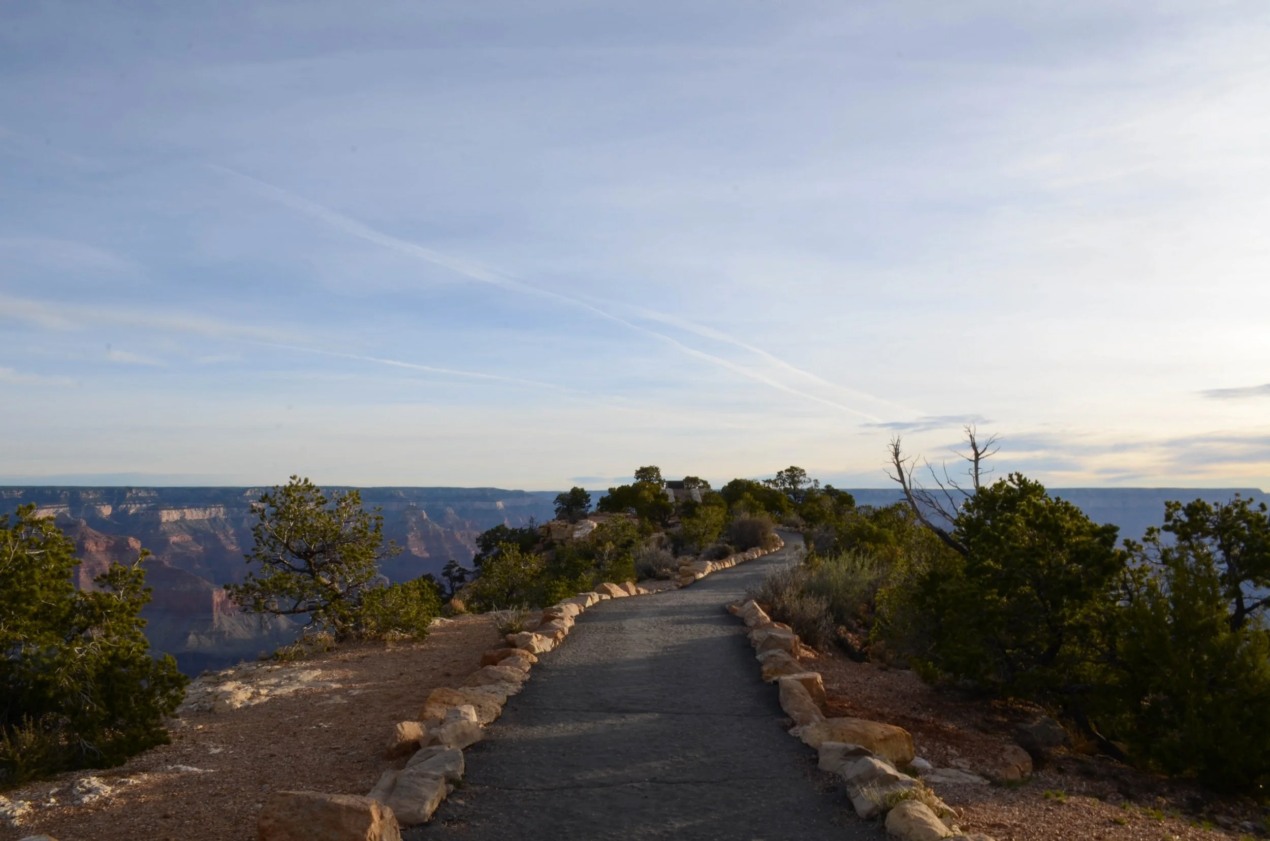
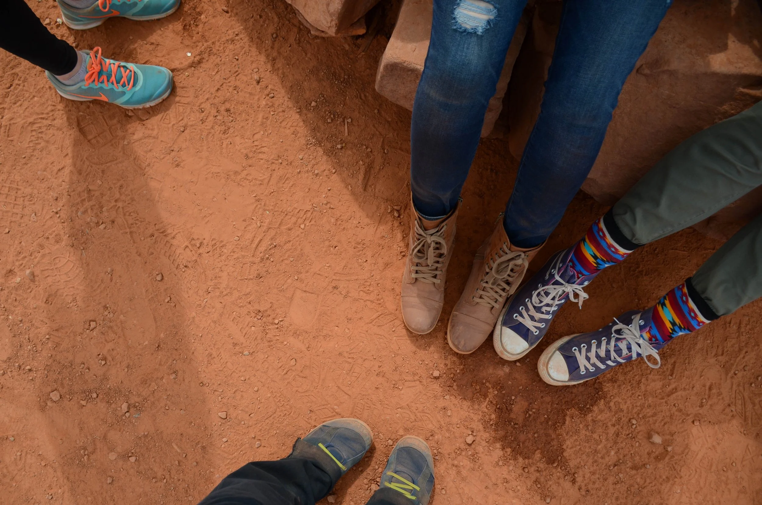
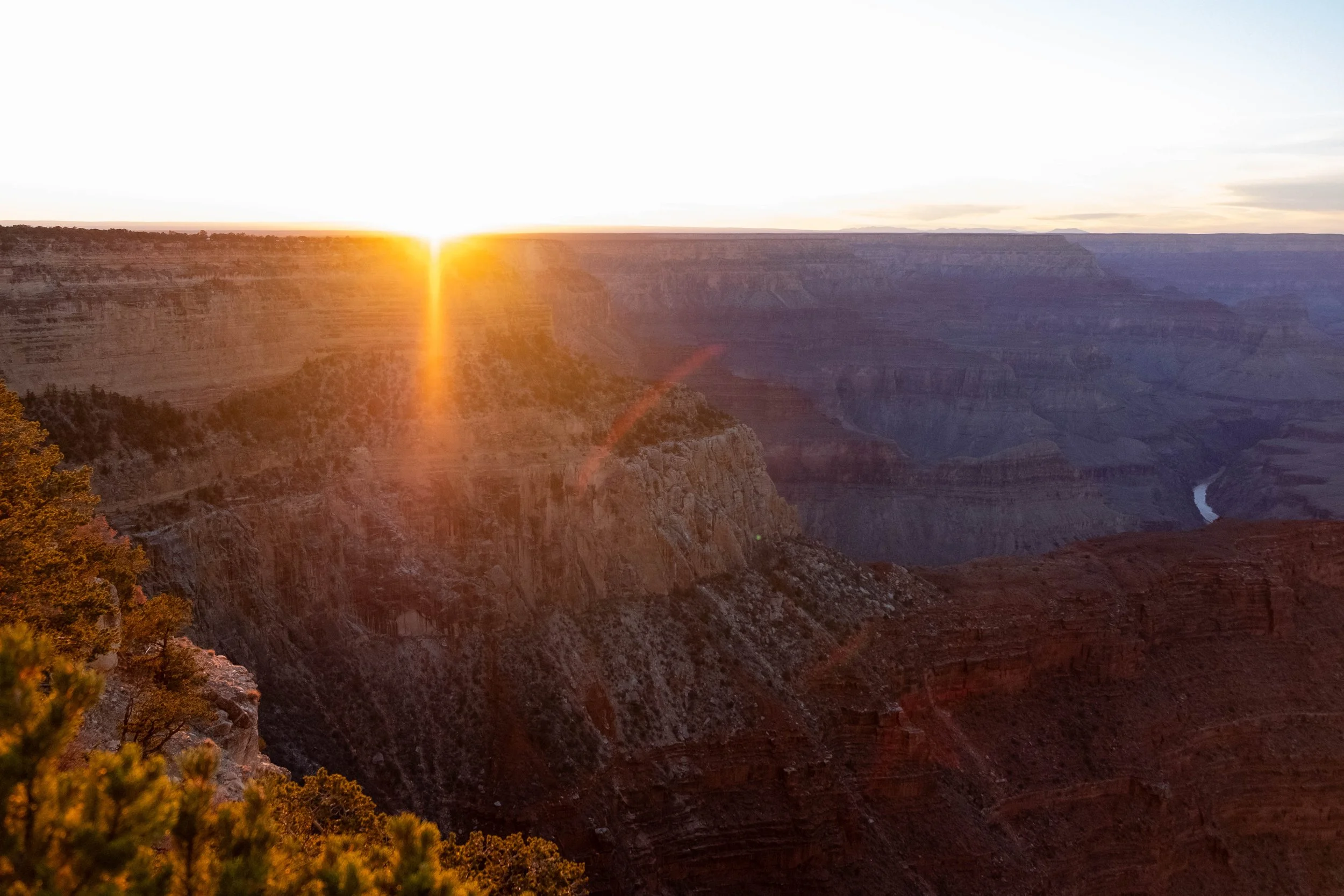
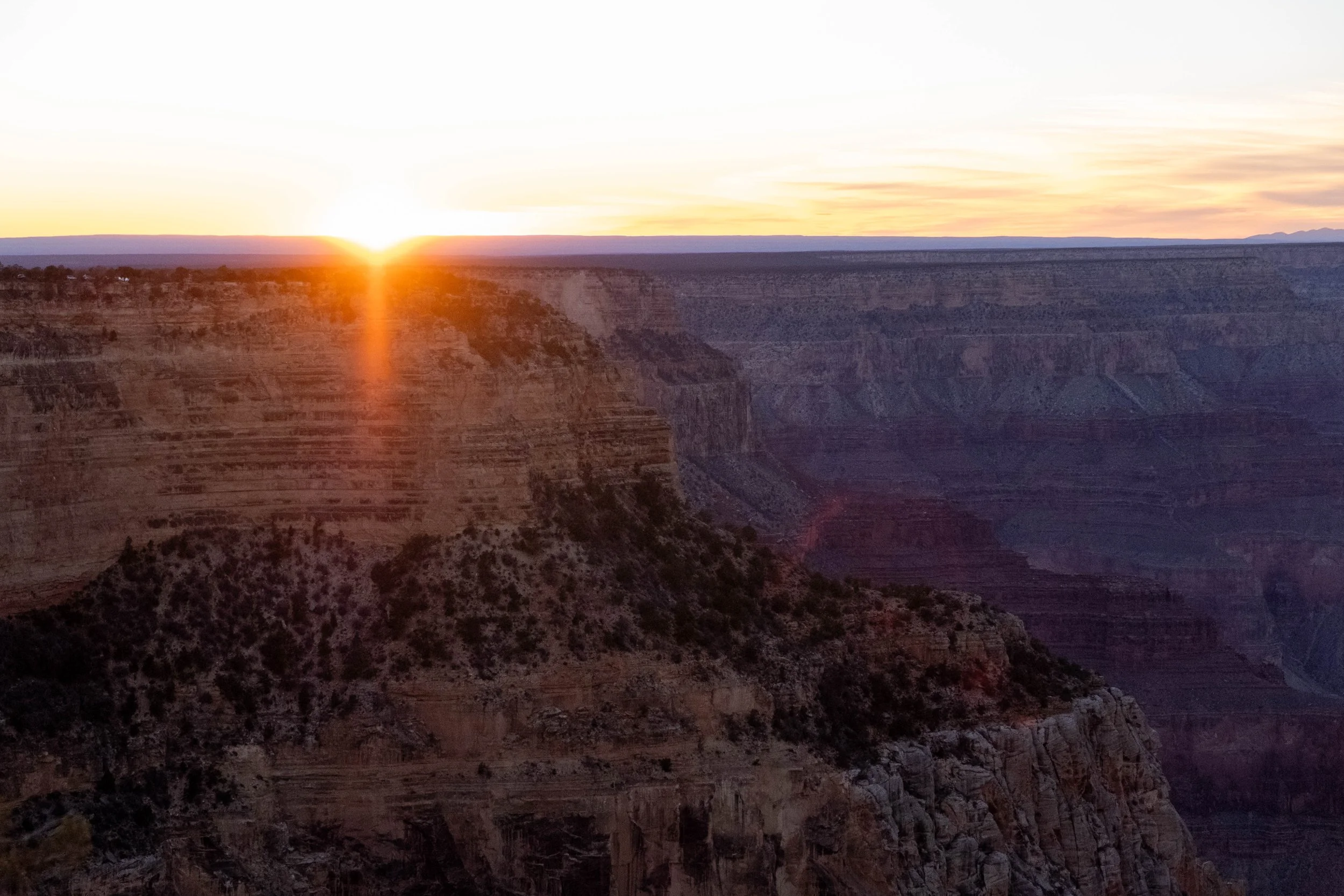
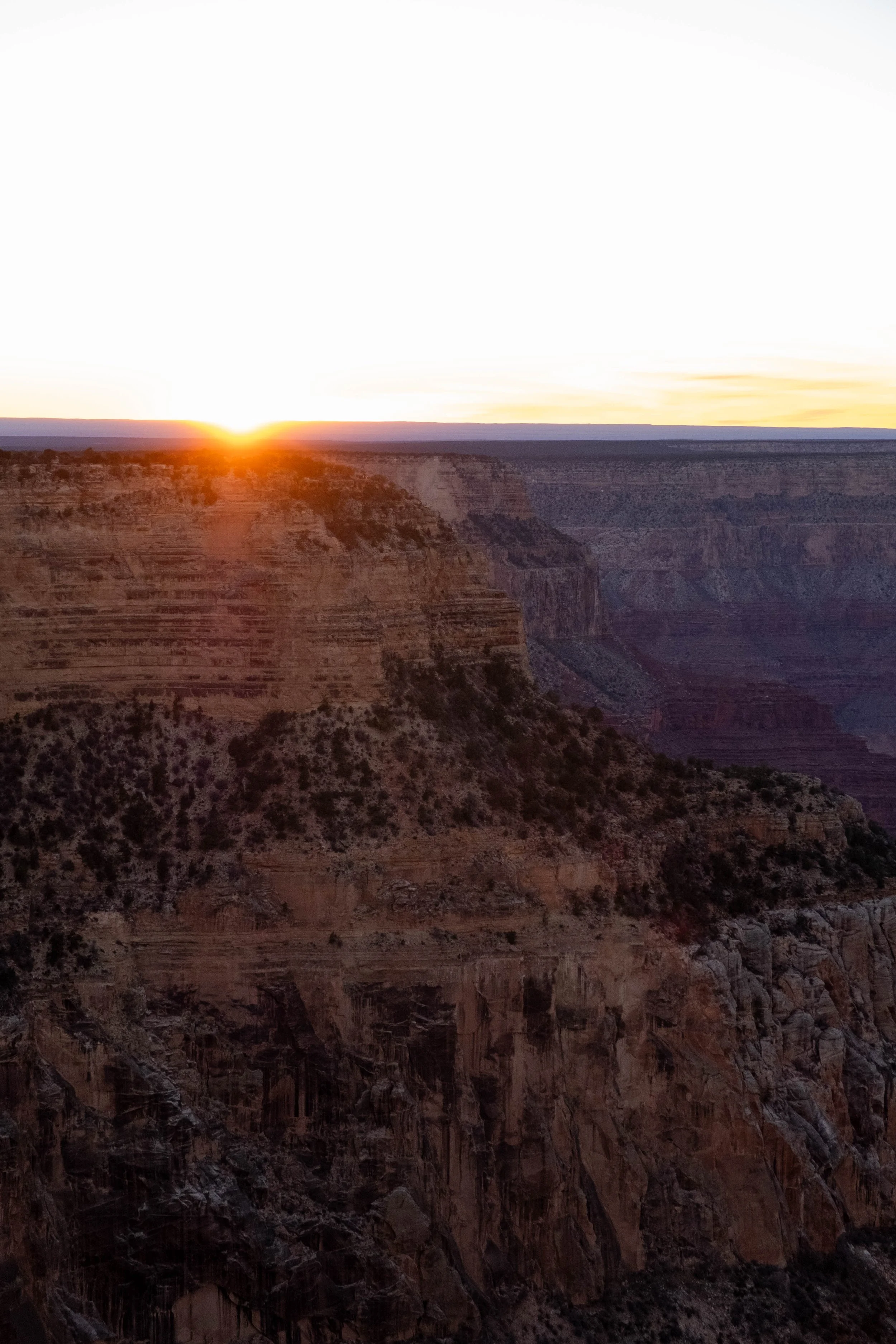
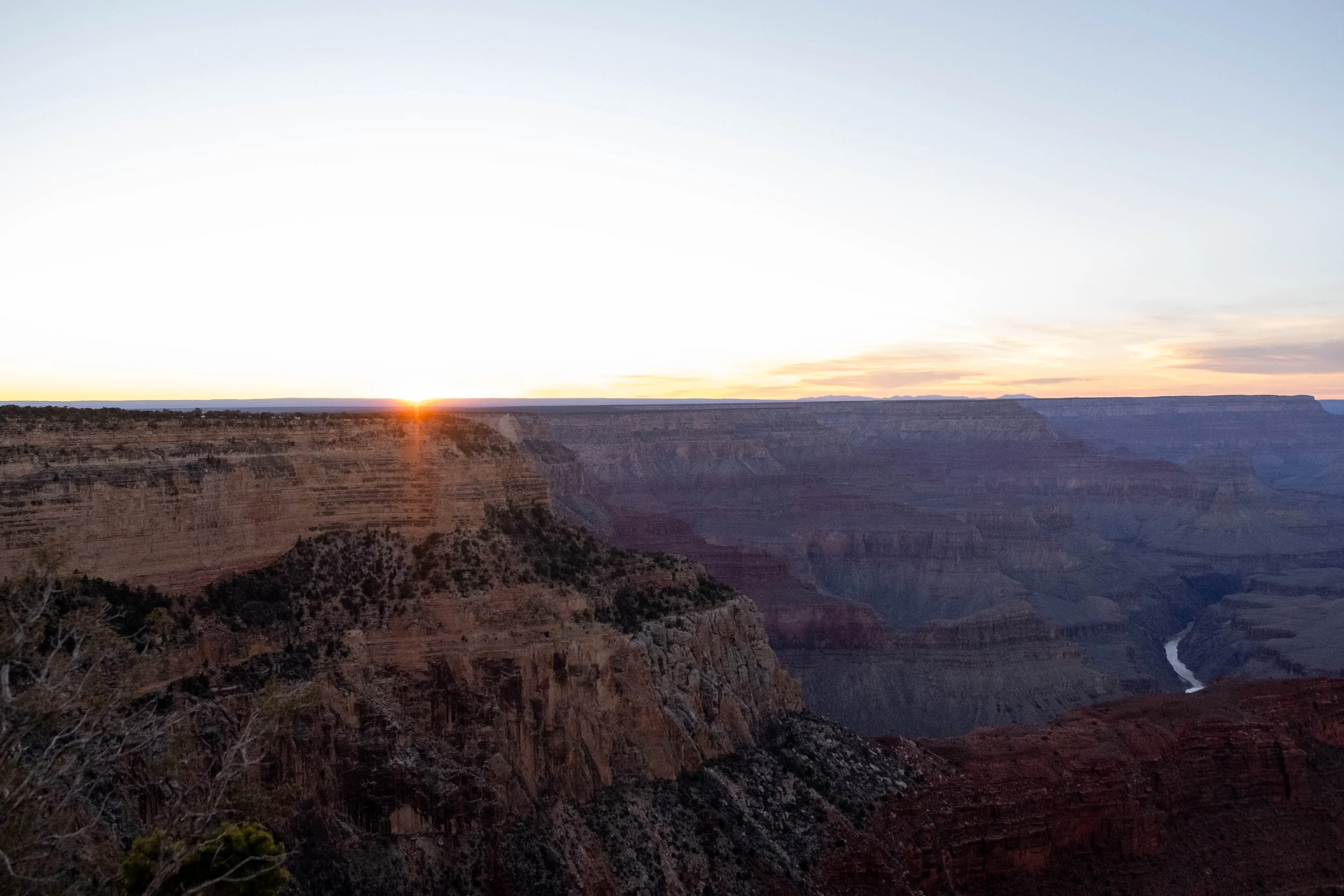
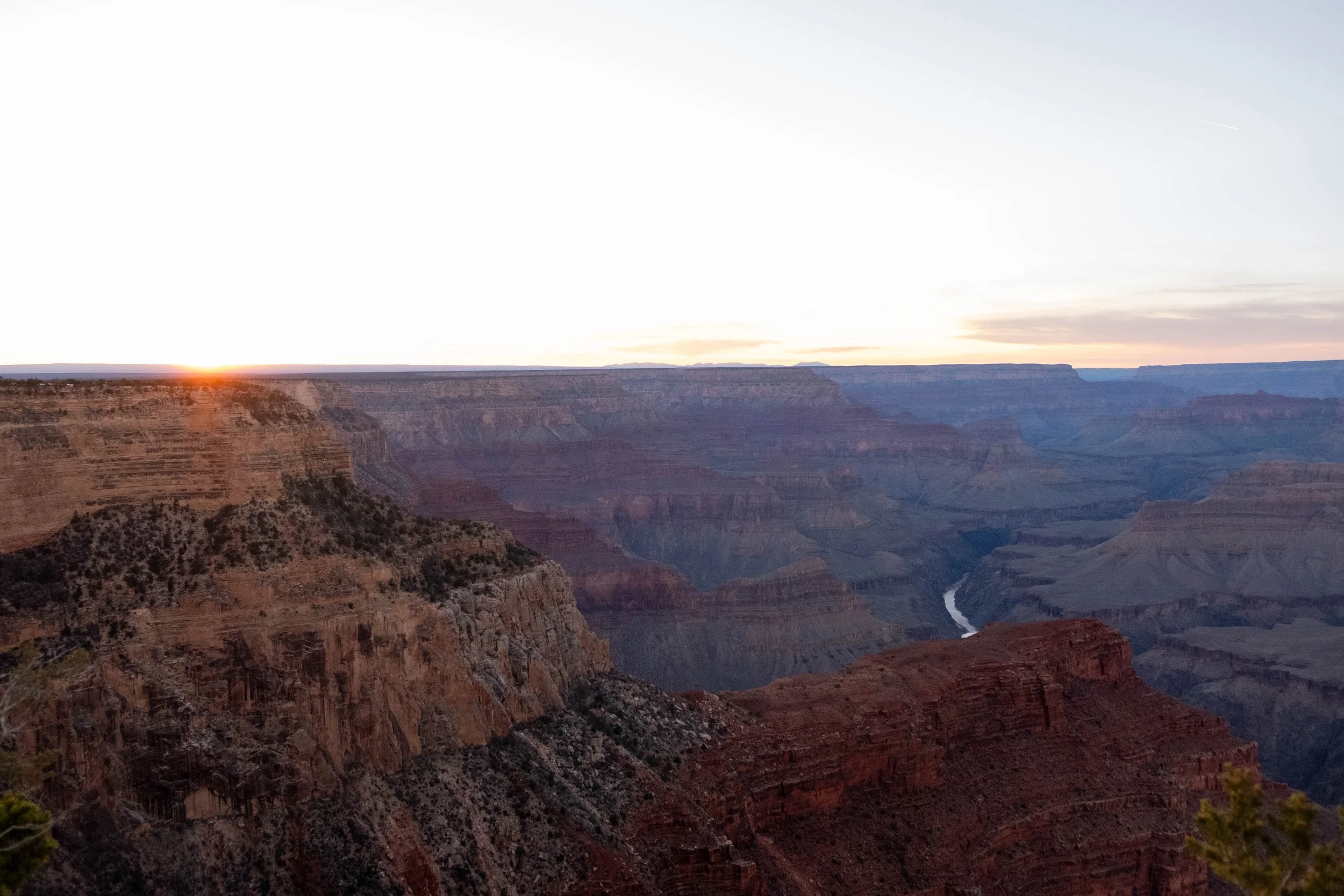
After an eleven-hour drive from Denver, we’d enjoyed an evening exploring Grand Canyon Village on the South Rim: Dinner at Harvey House Cafe, sunset at Hopi Point, and finalizing the gear in our backpacks at Maswik Lodge. The next morning, we drove our car to the neighboring Backcountry Information Office, where we would park it for the next couple of days, and caught the Hiker’s Express Shuttle to the South Kaibab Trailhead.
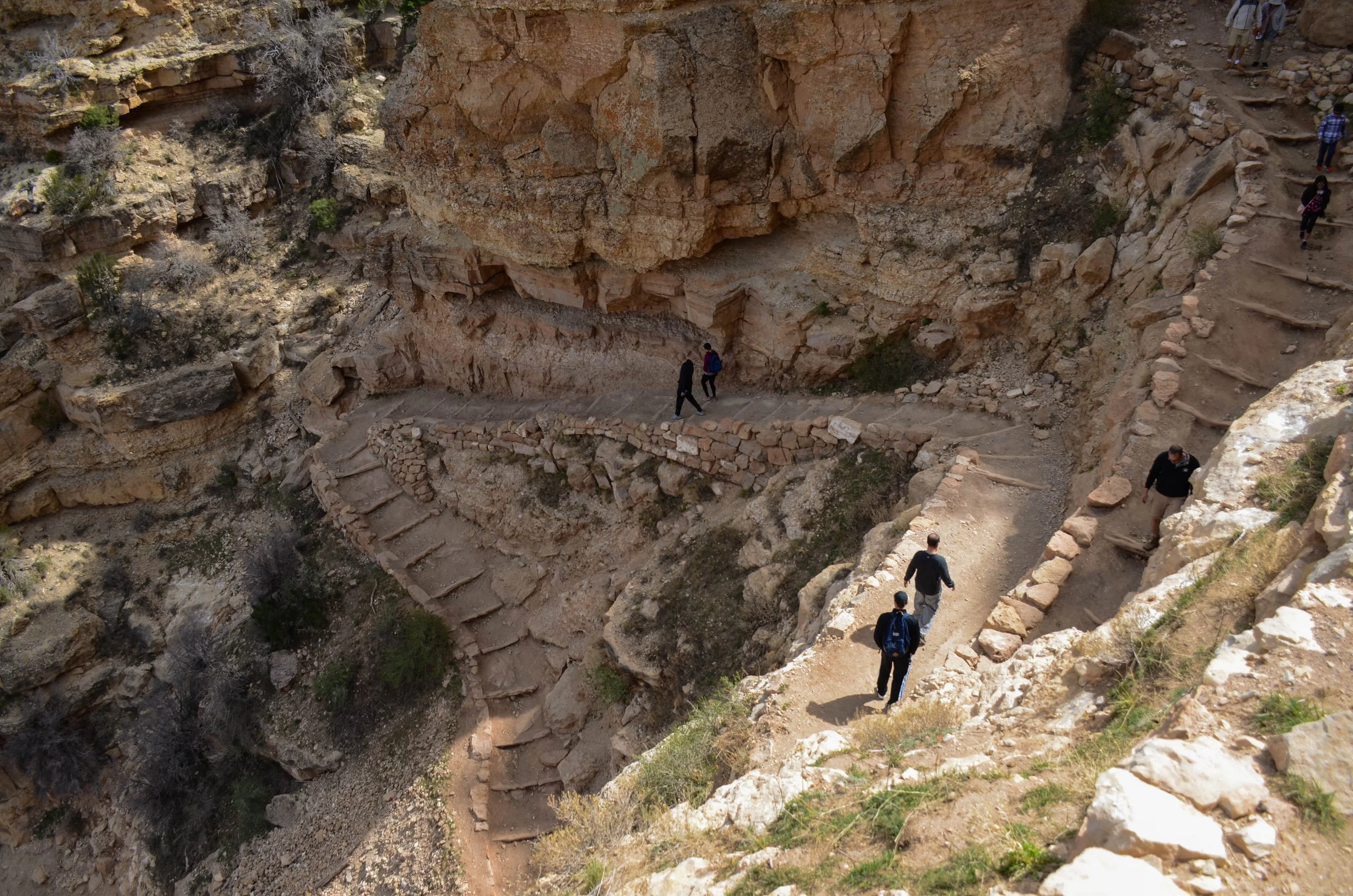
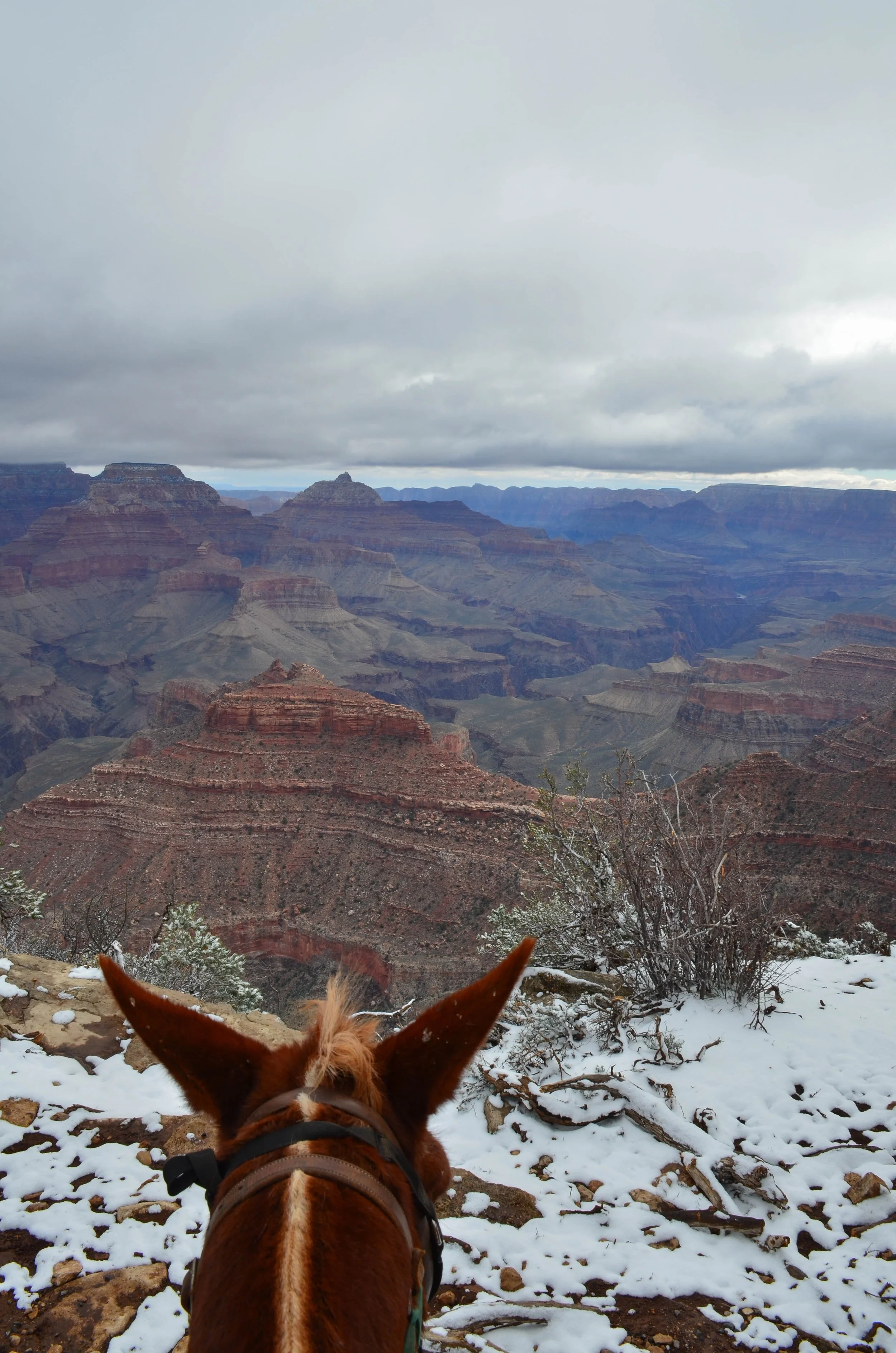
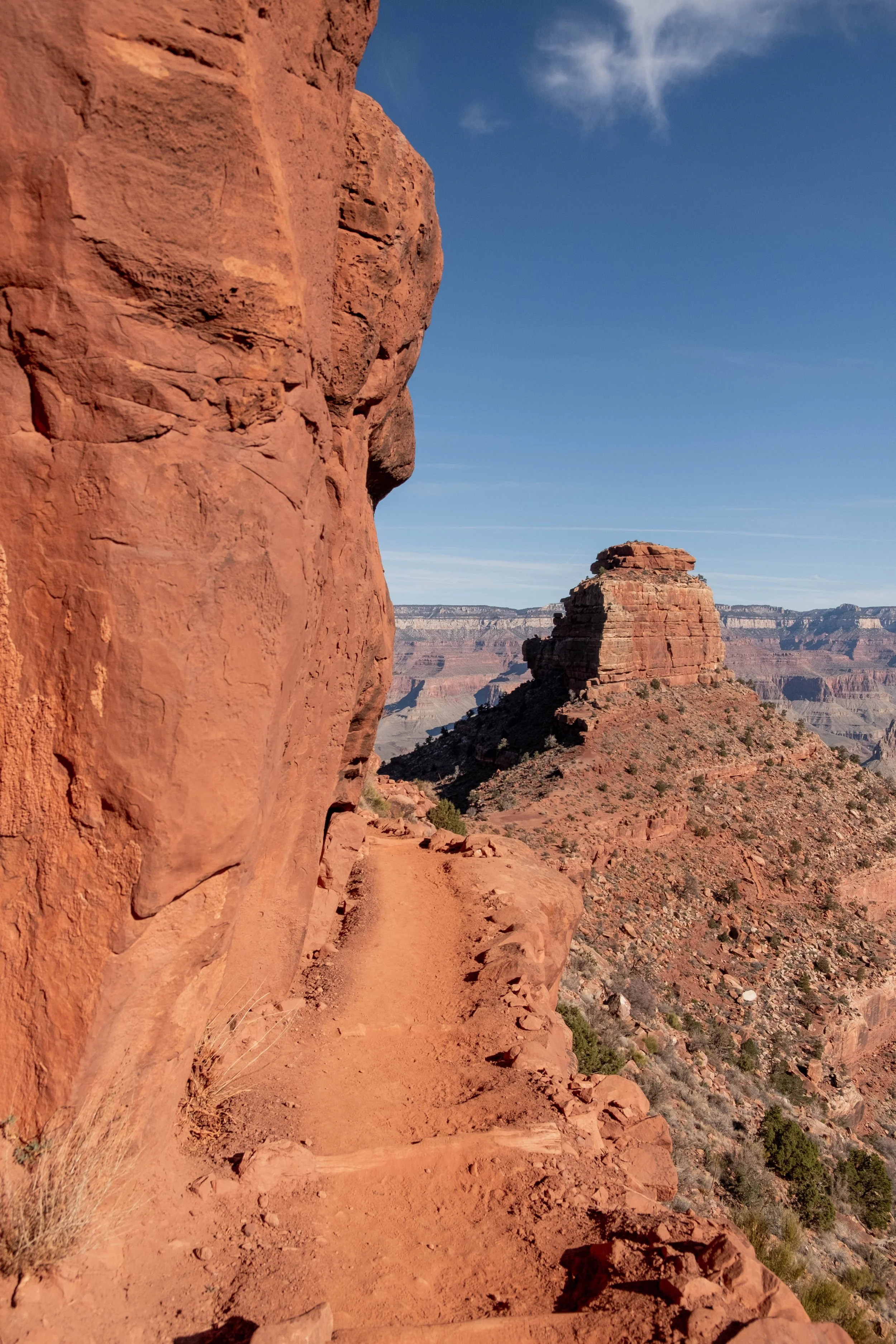
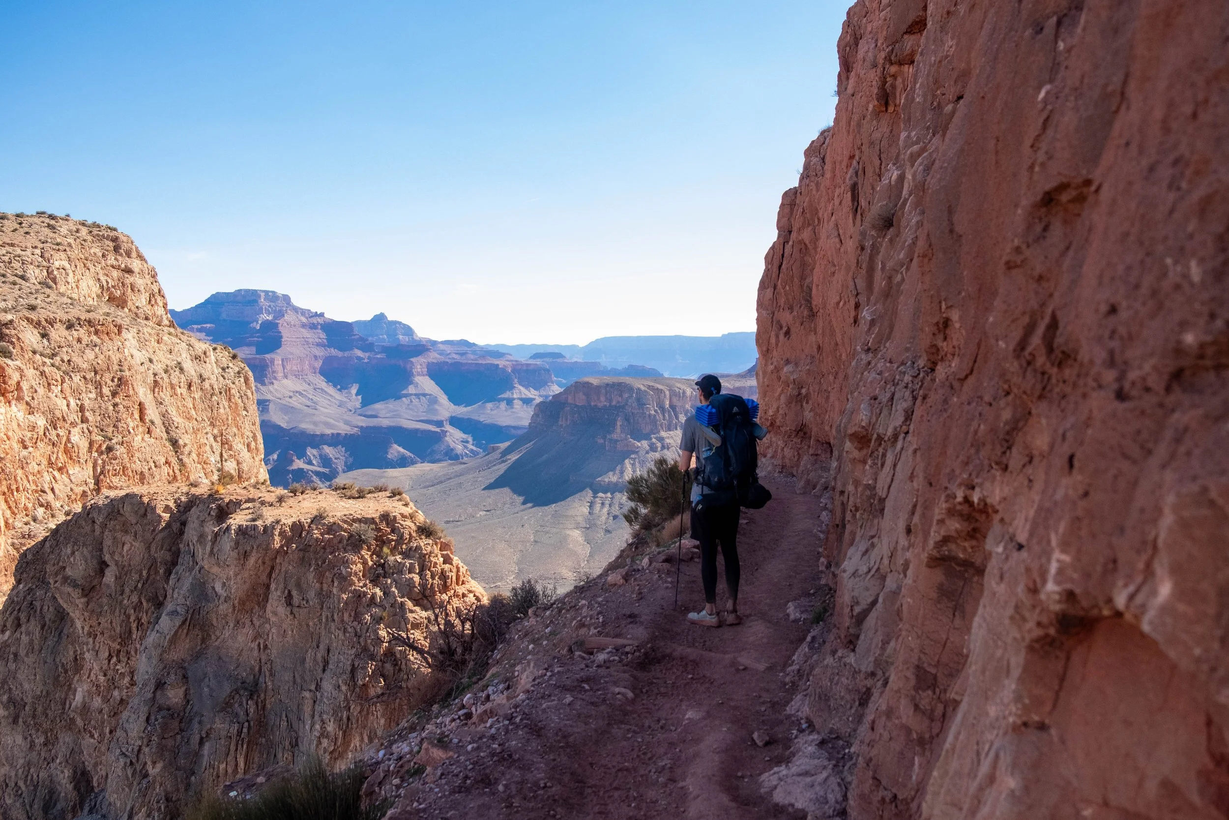
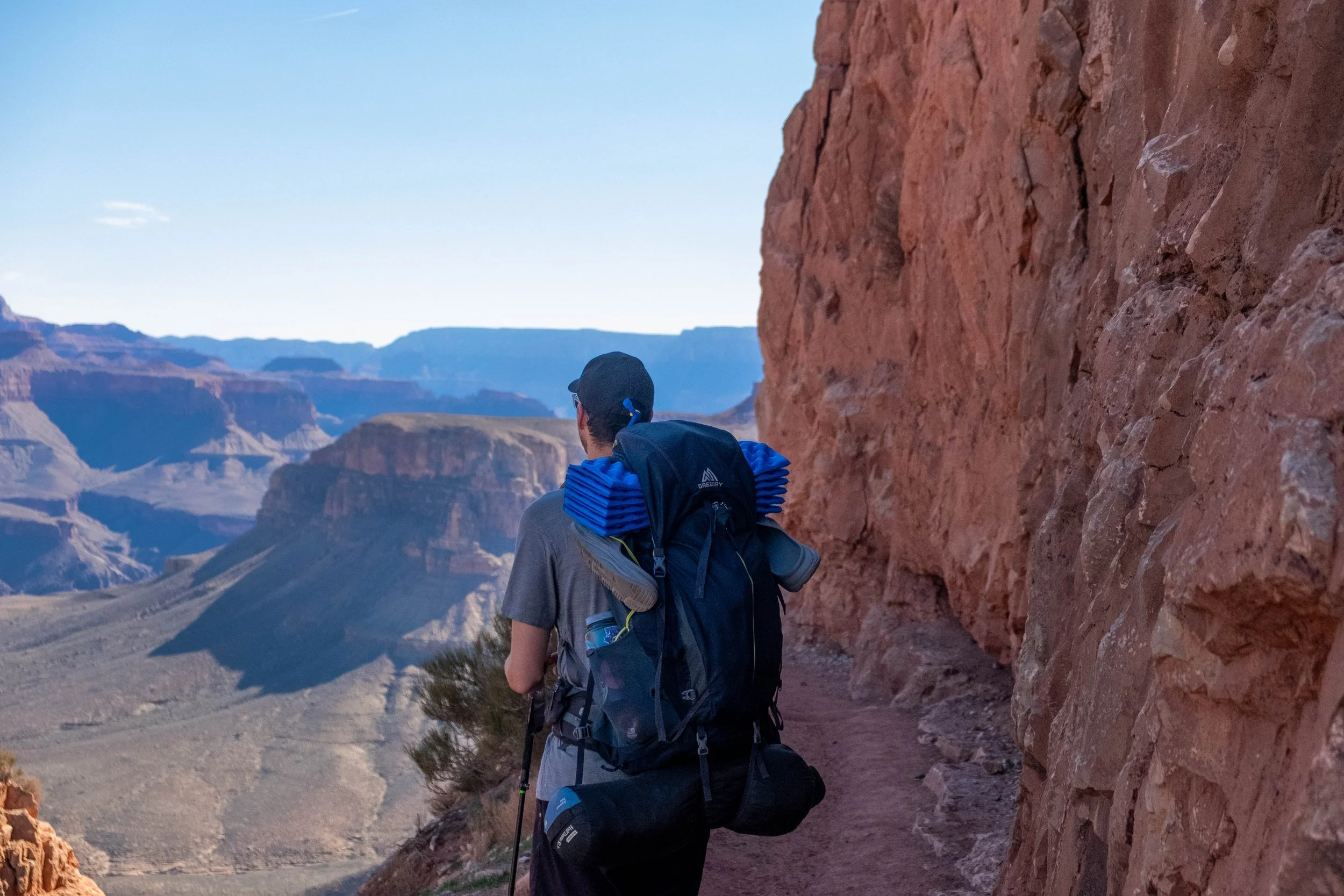
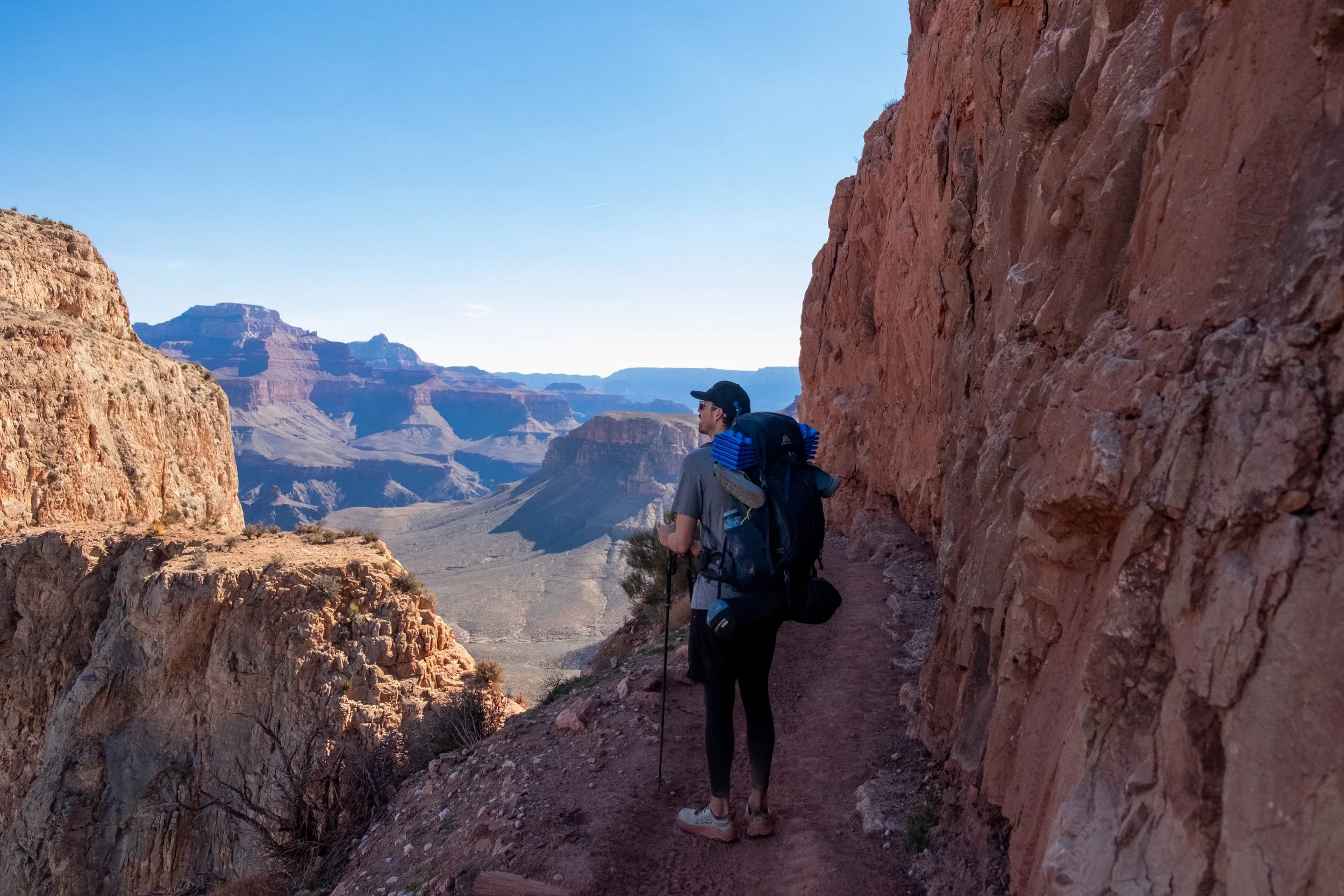
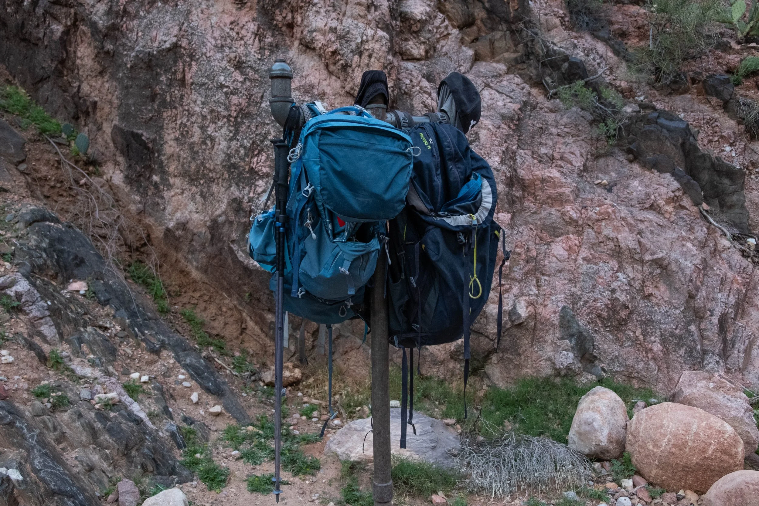
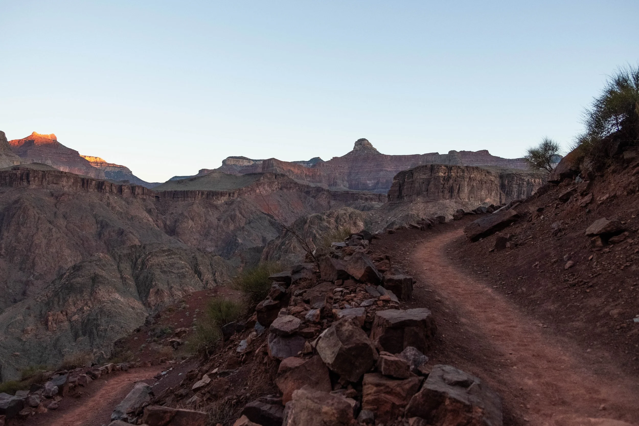
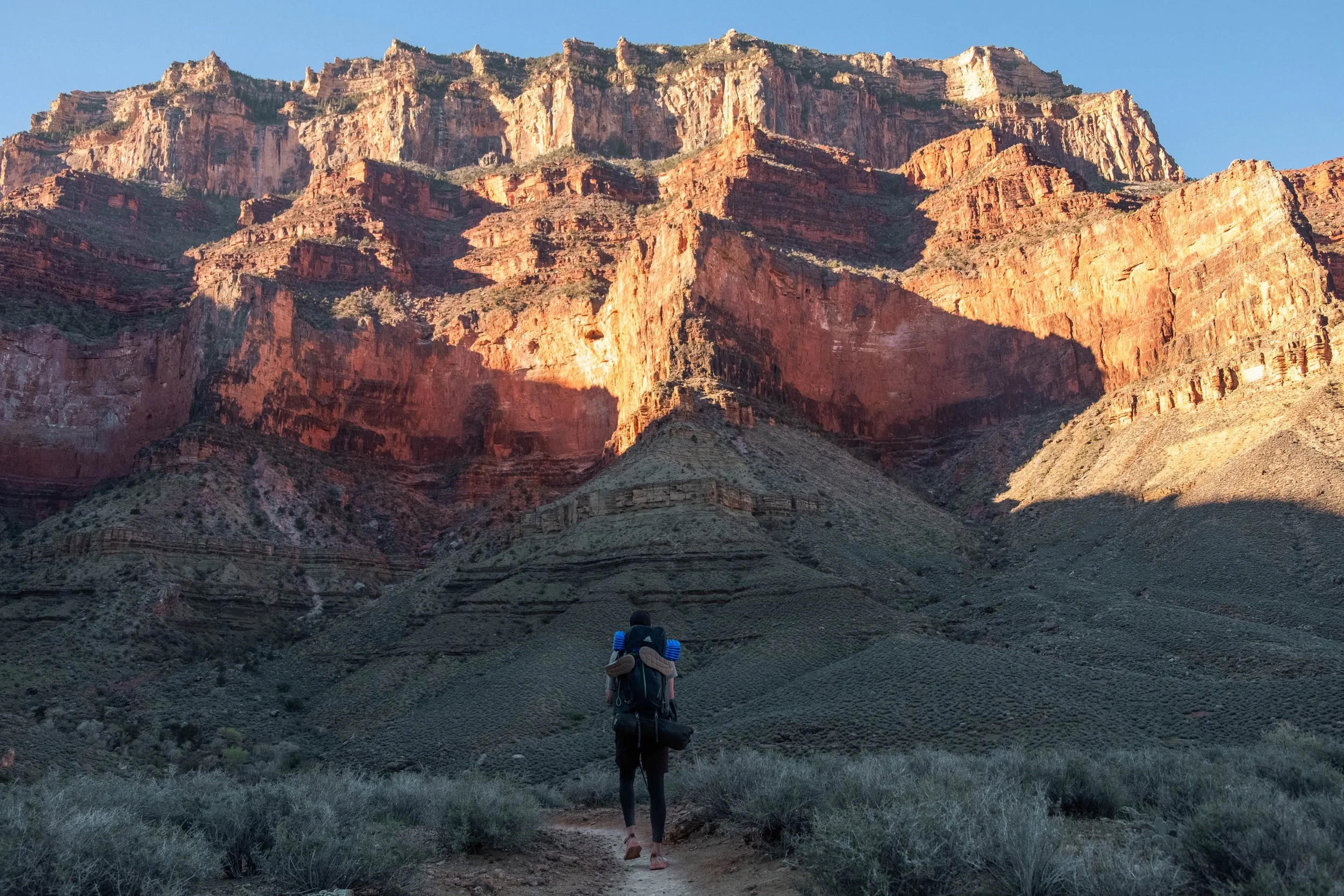
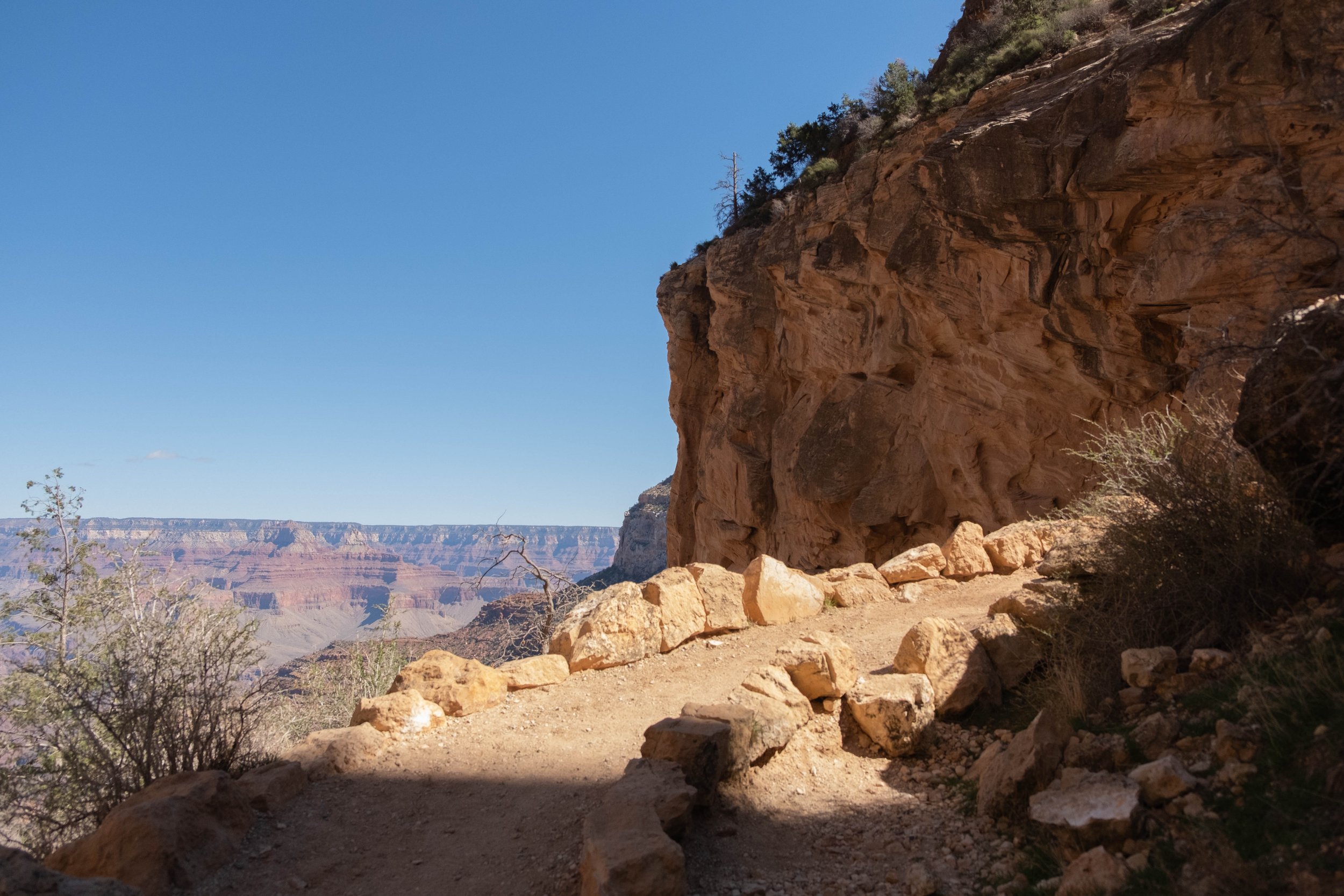
I’d hiked the South Kaibab to Skeleton Point on both of my previous trips to GCNP, but was eager to get beyond the known-to-me parts of the trail. The air was cool at the top, but steadily increased in temperature as we wound our way further down into the canyon. The weather at the bottom was supposed to get up to 87 degrees F, almost 20 degrees warmer than the rim. We are more used to ascending a trail to start and the air getting cooler as we go, so I prepared myself for what I knew would feel like an oddly reversed experience. We were carrying two liters of water and one liter of electrolytes each, which was a fairly significant addition of weight to our packs but we’d deemed it necessary since there are no water sources along the way.
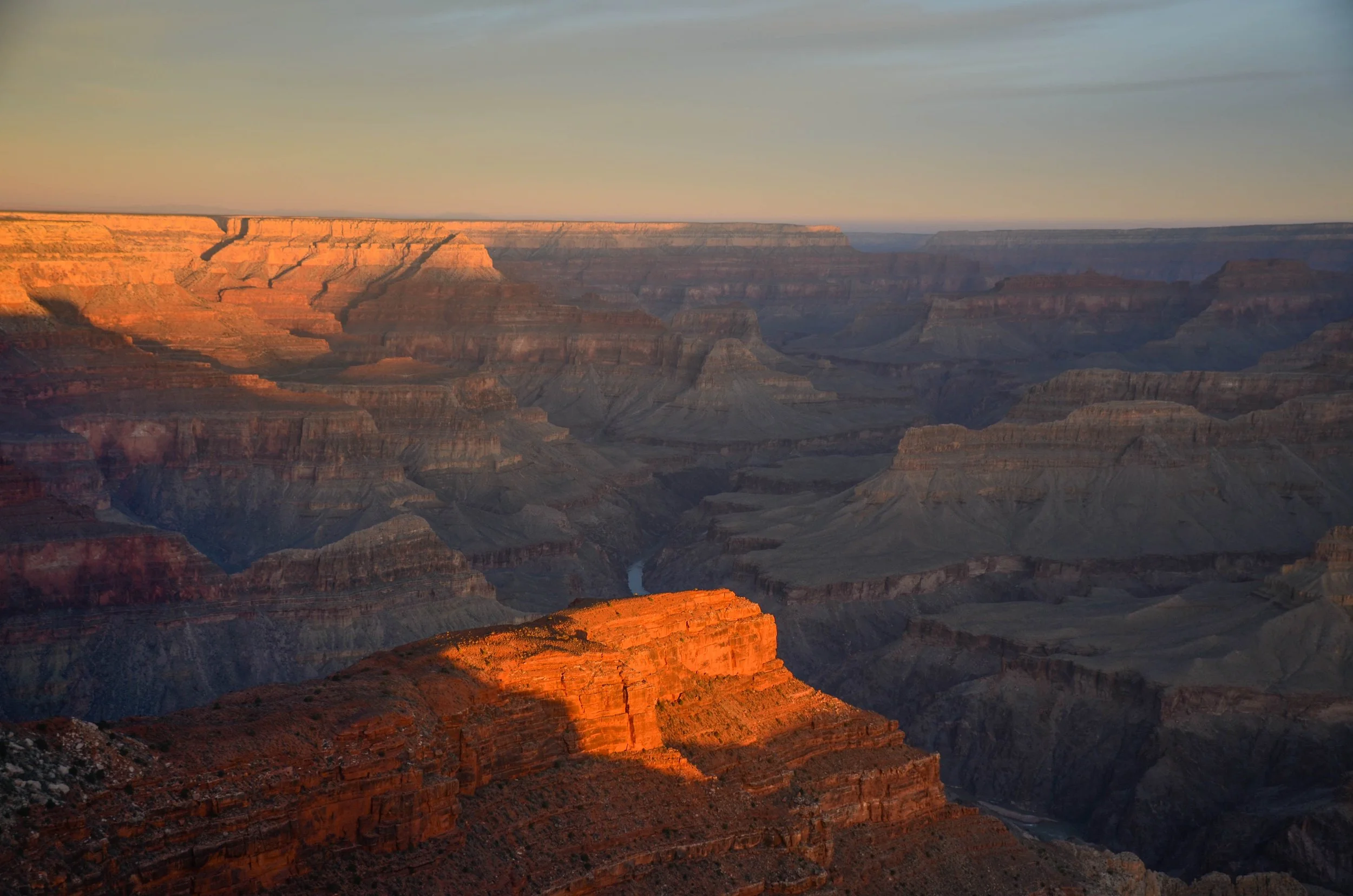
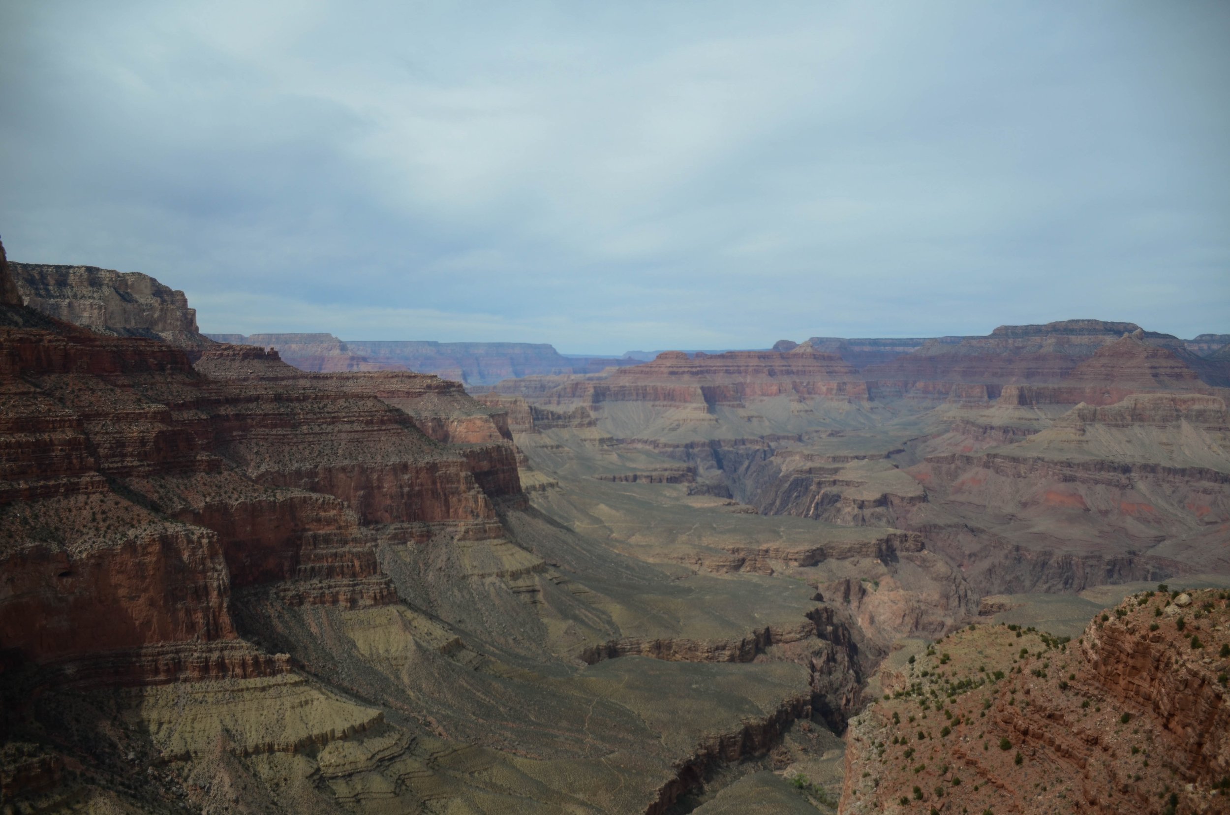
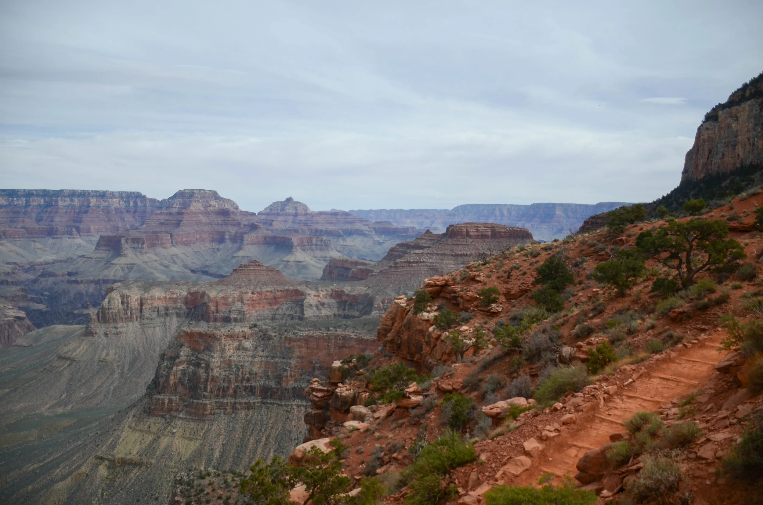
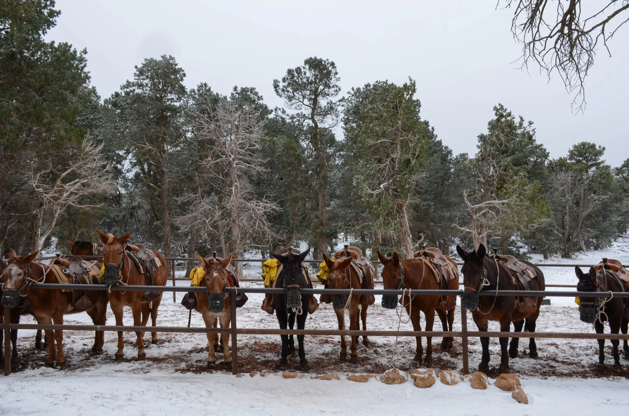
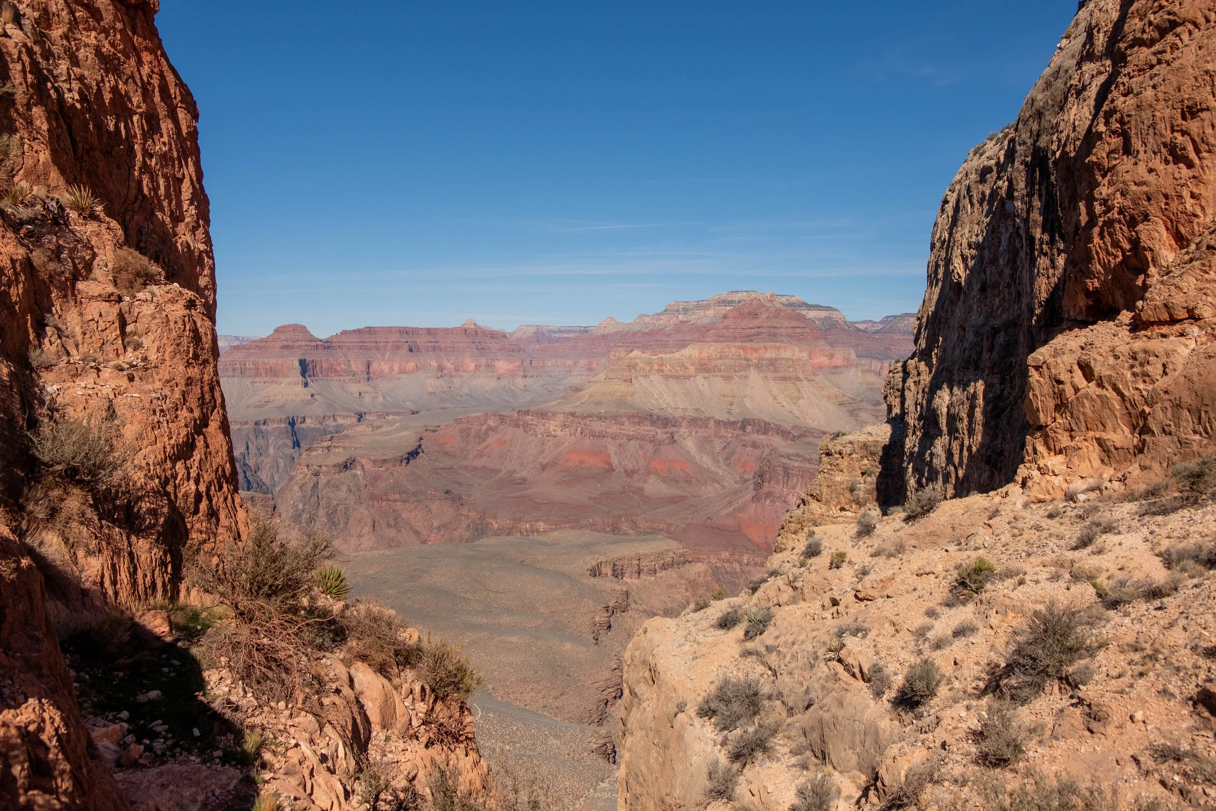
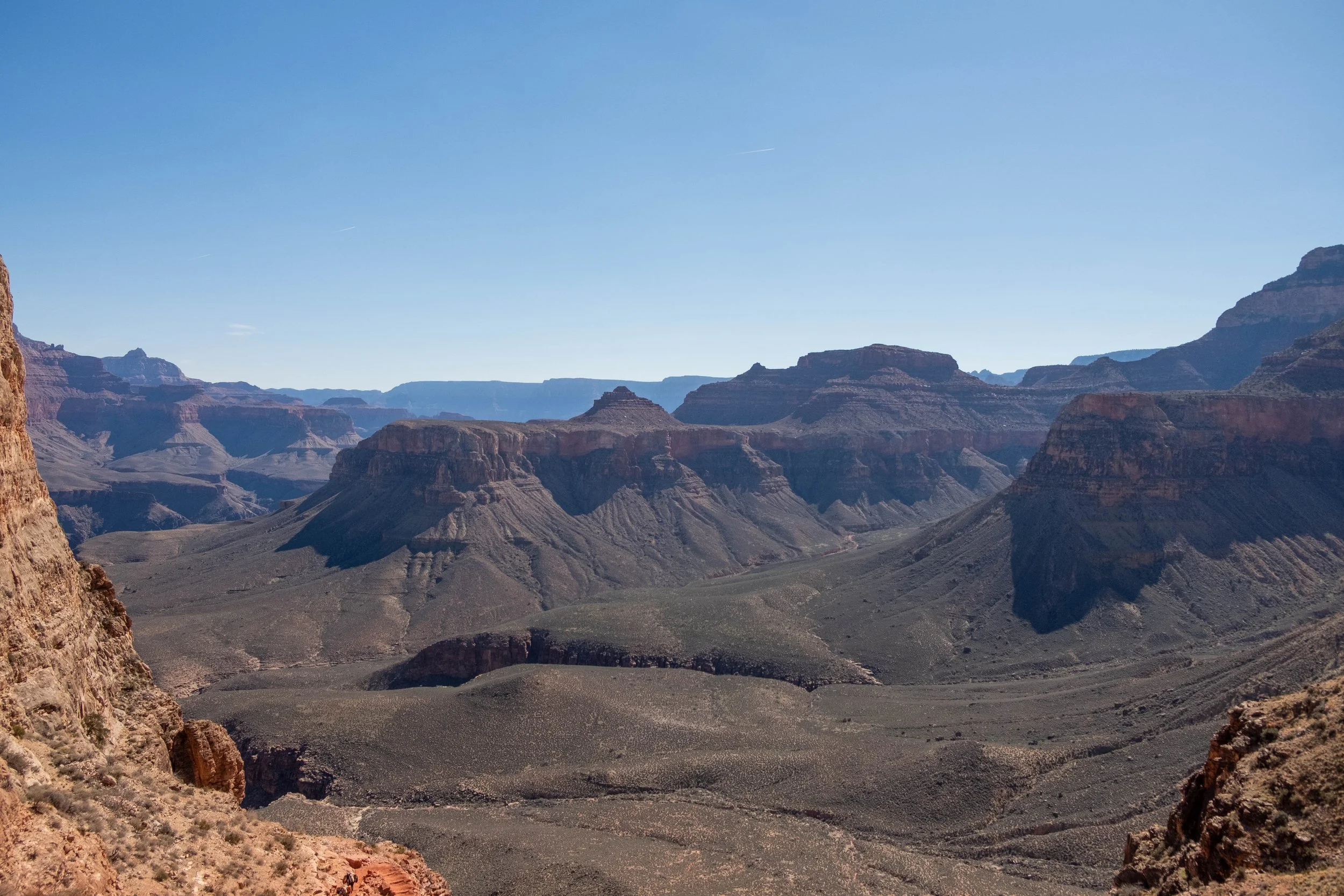
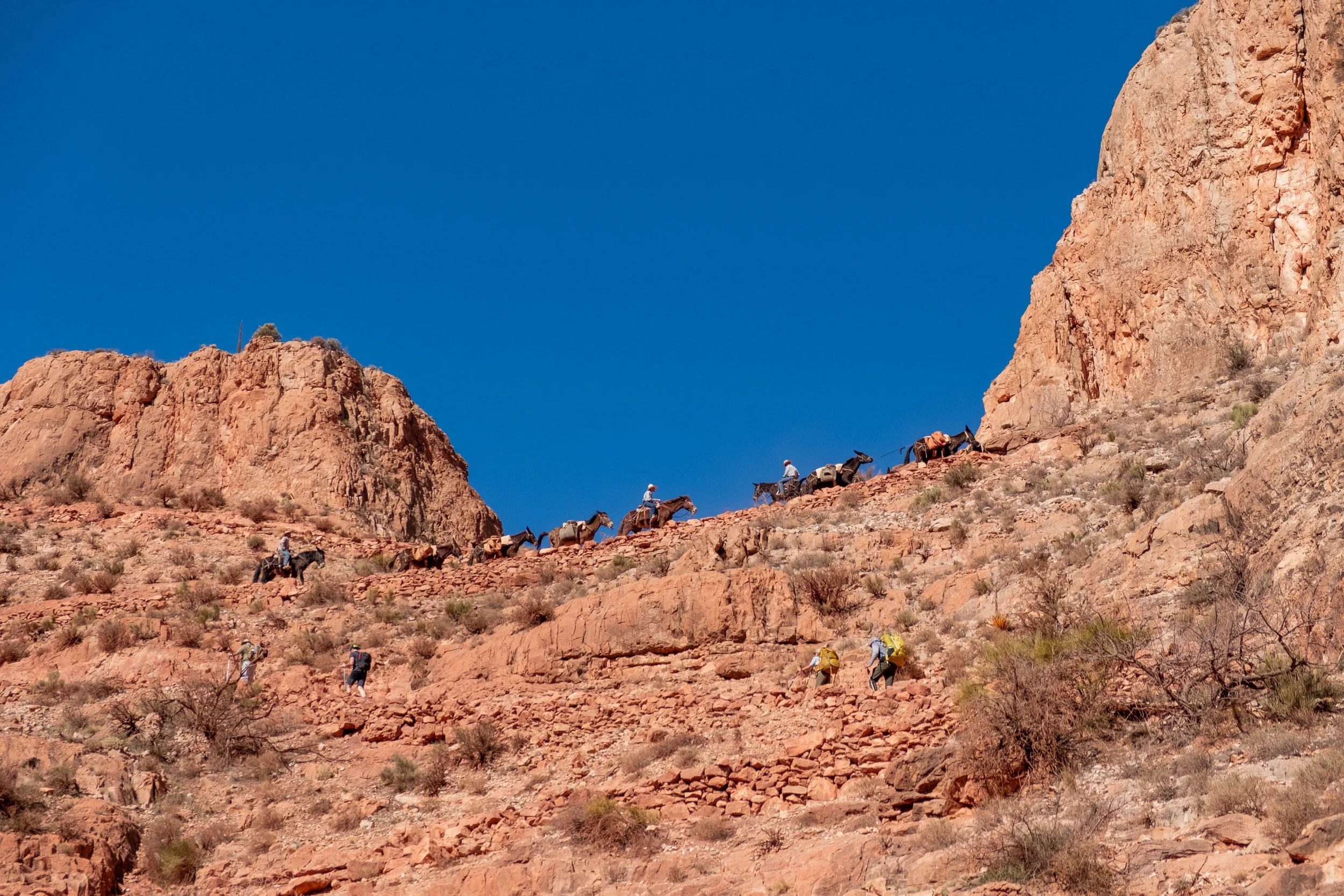
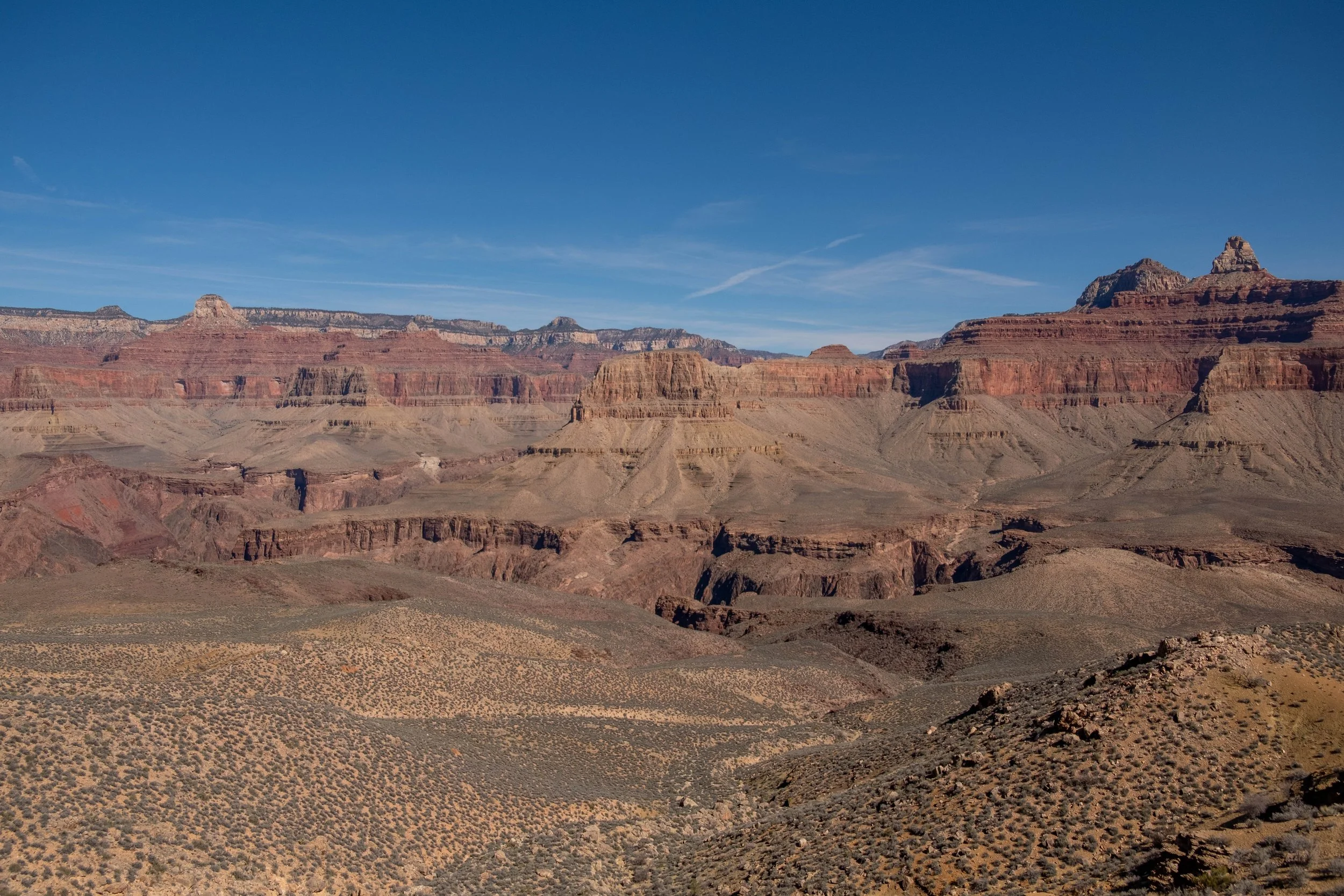
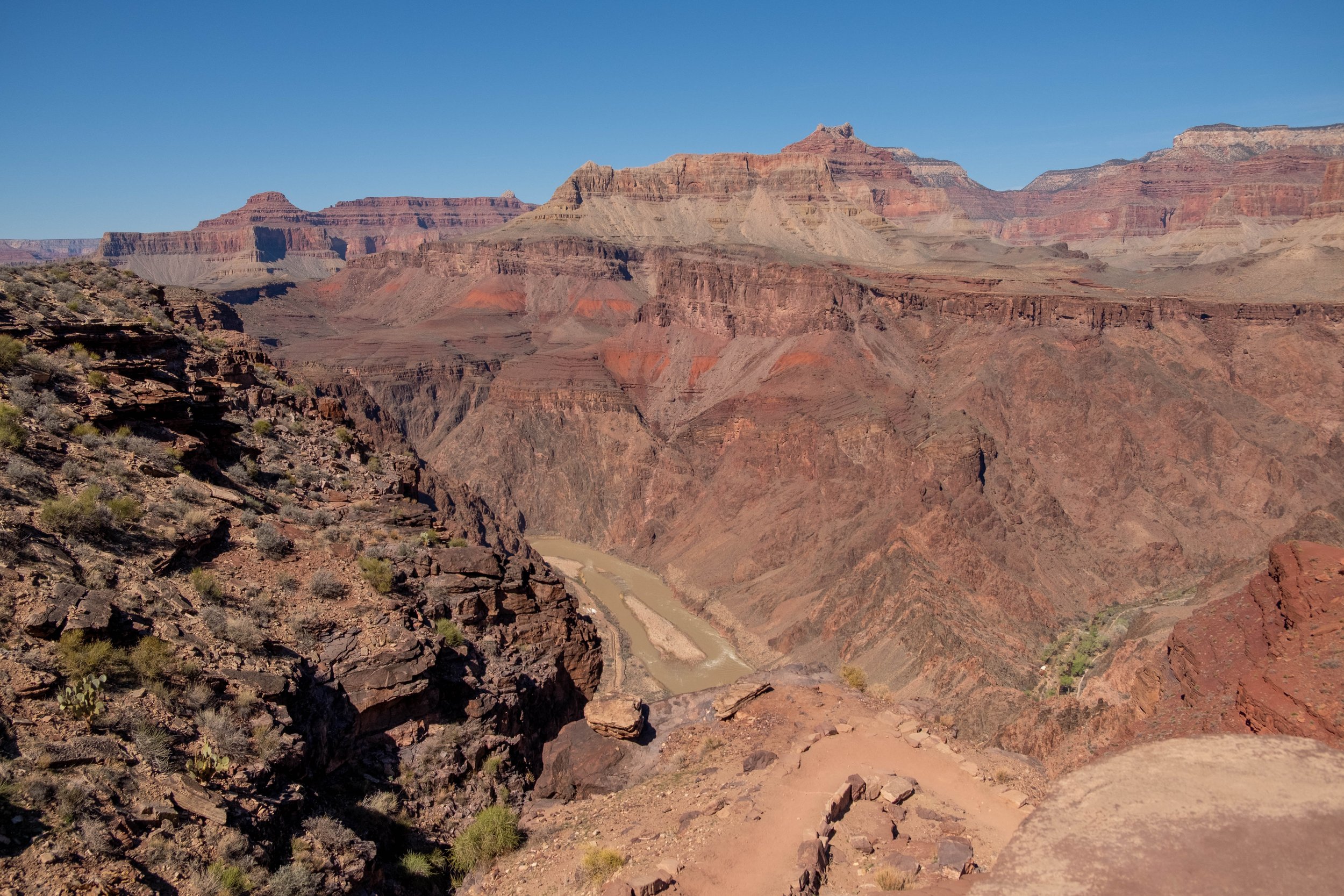
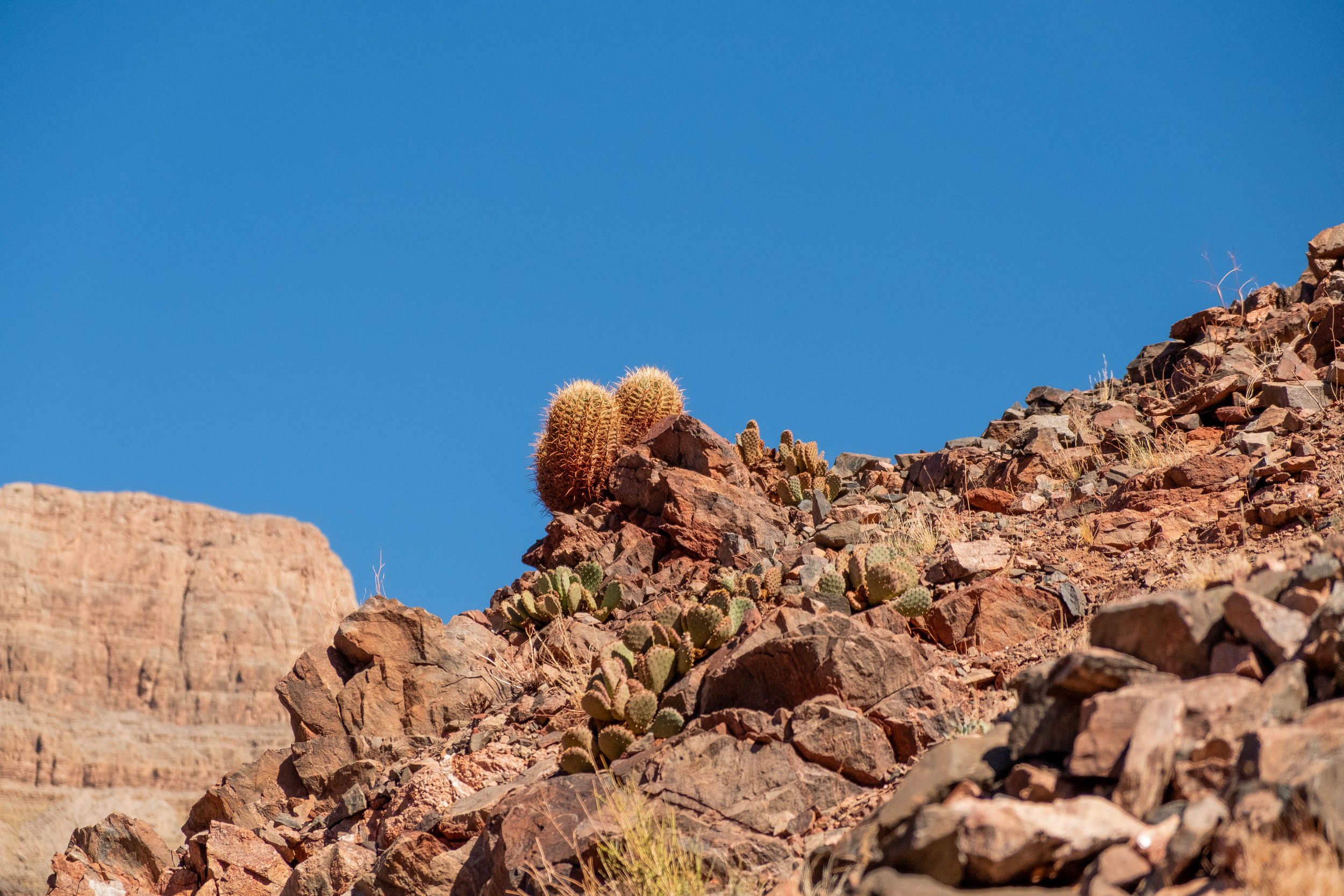
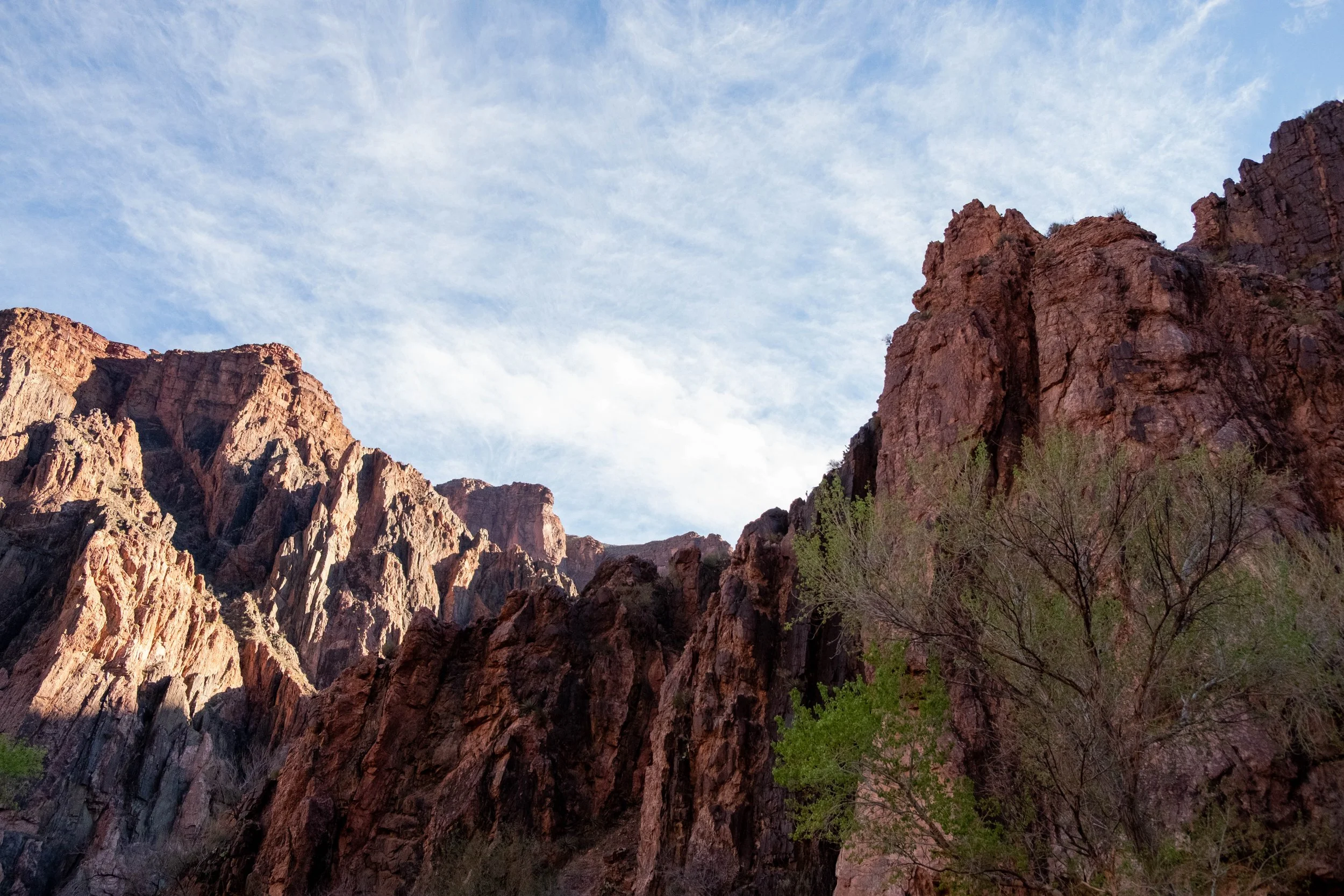
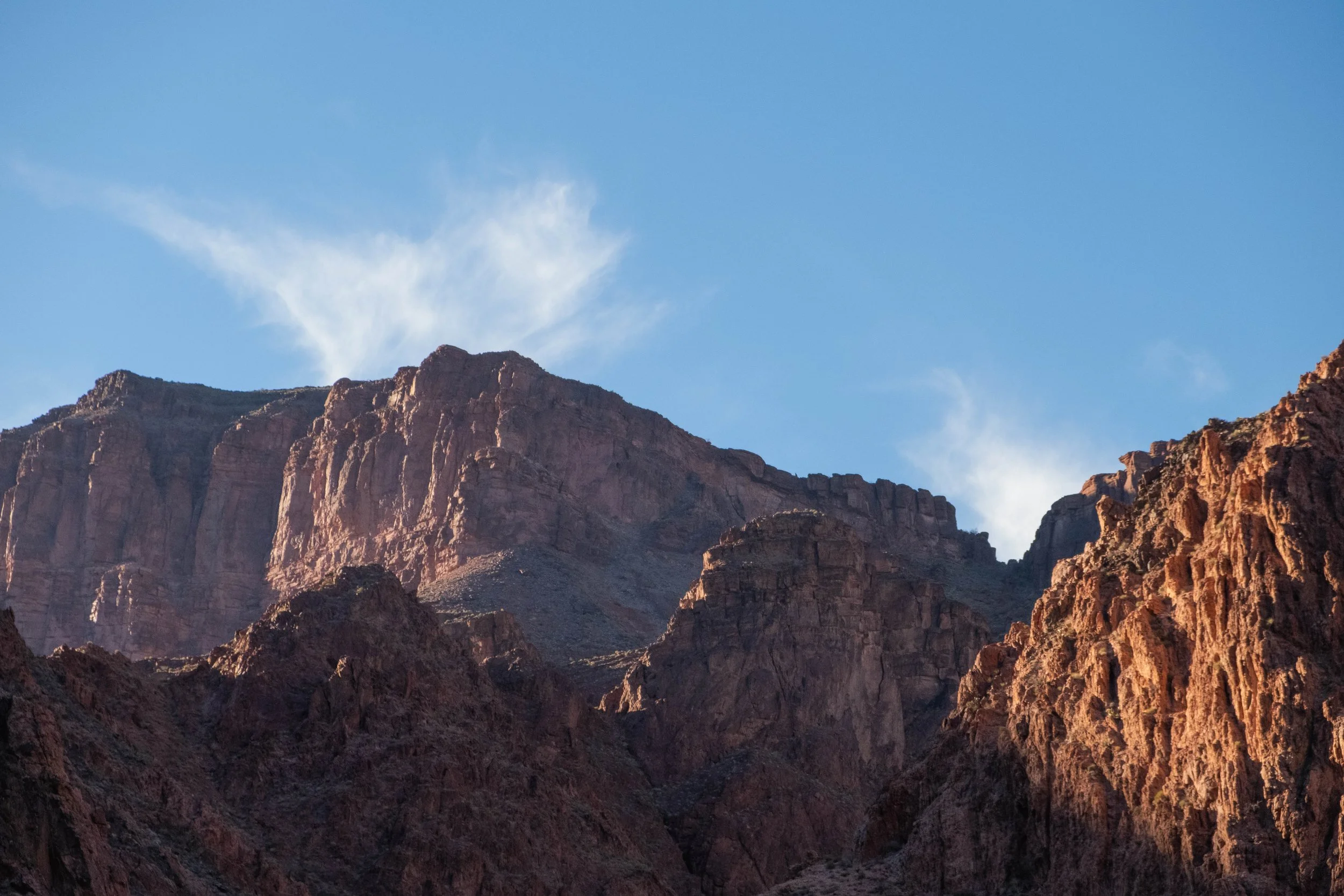
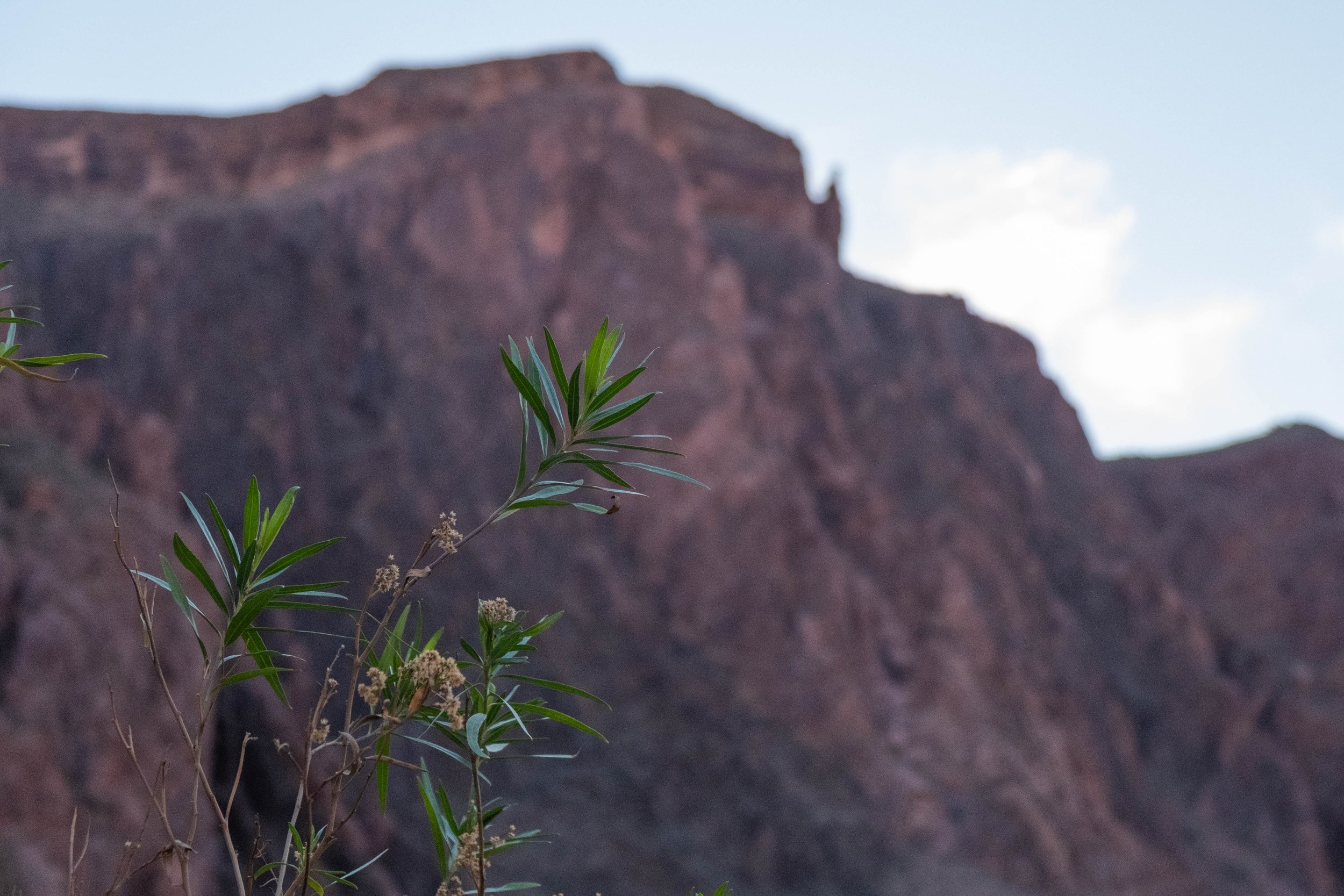
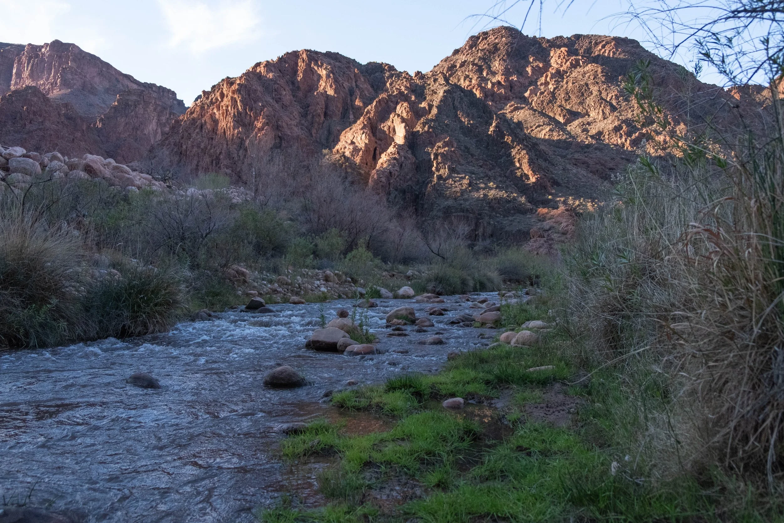
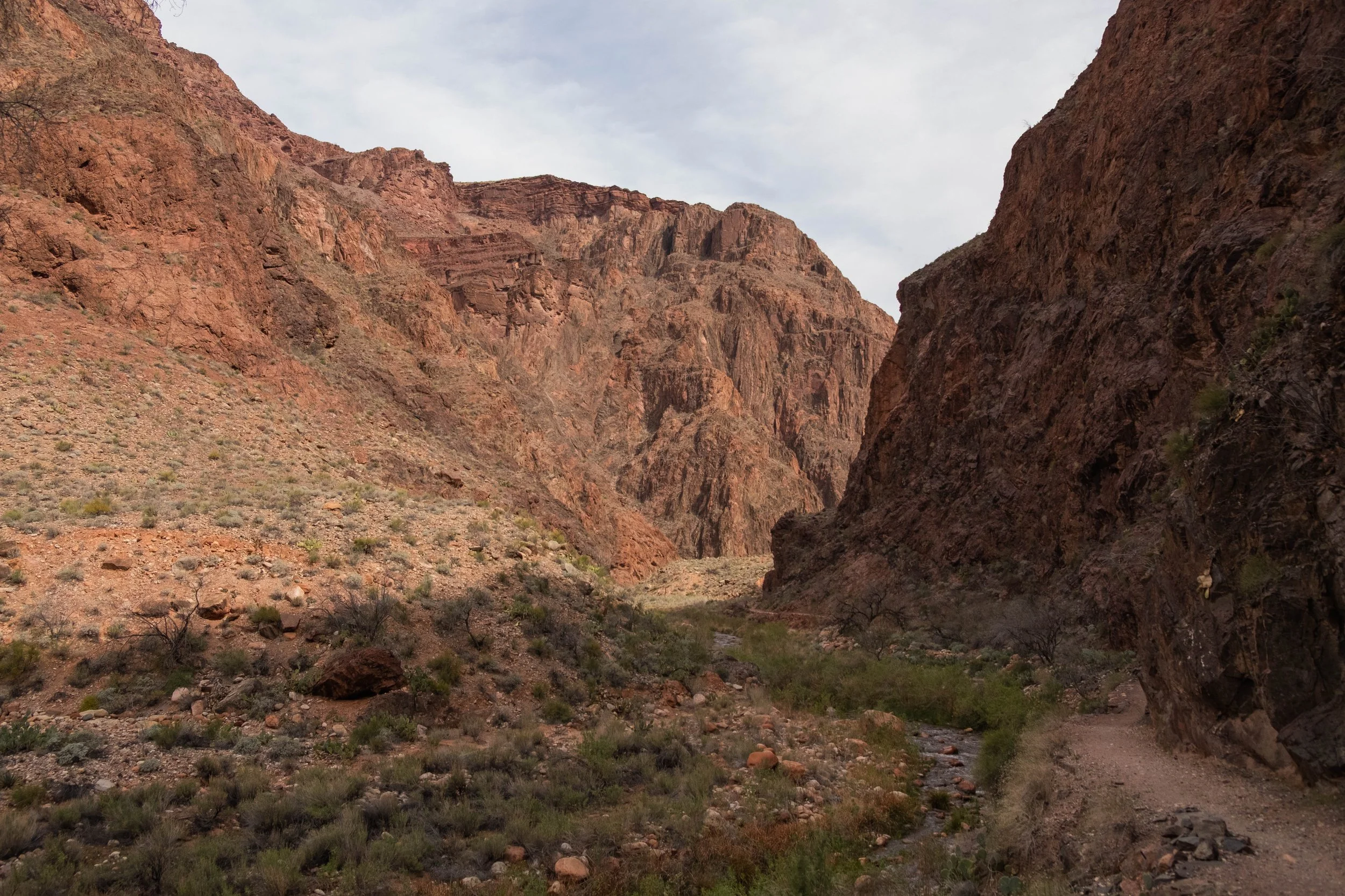
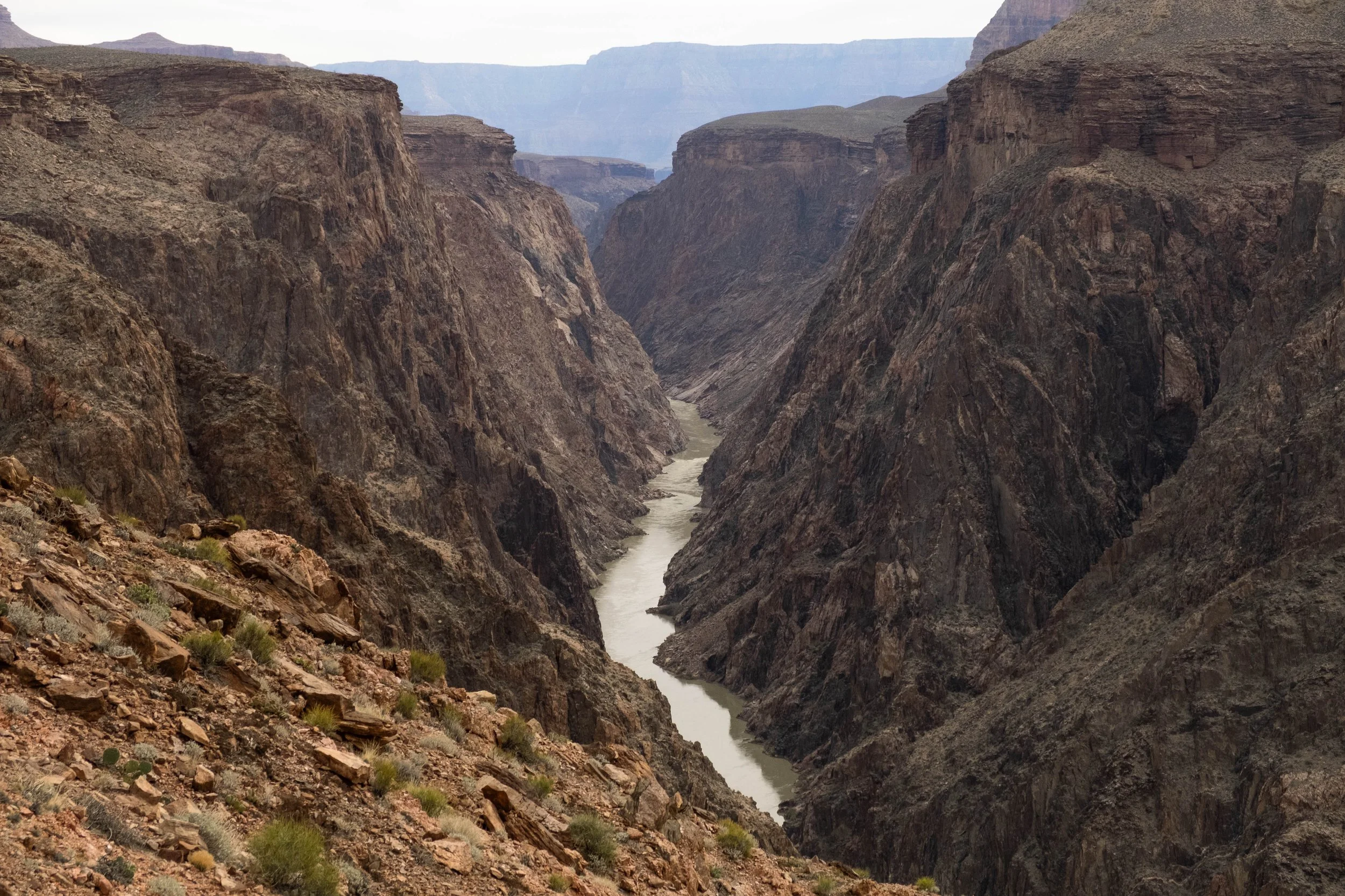
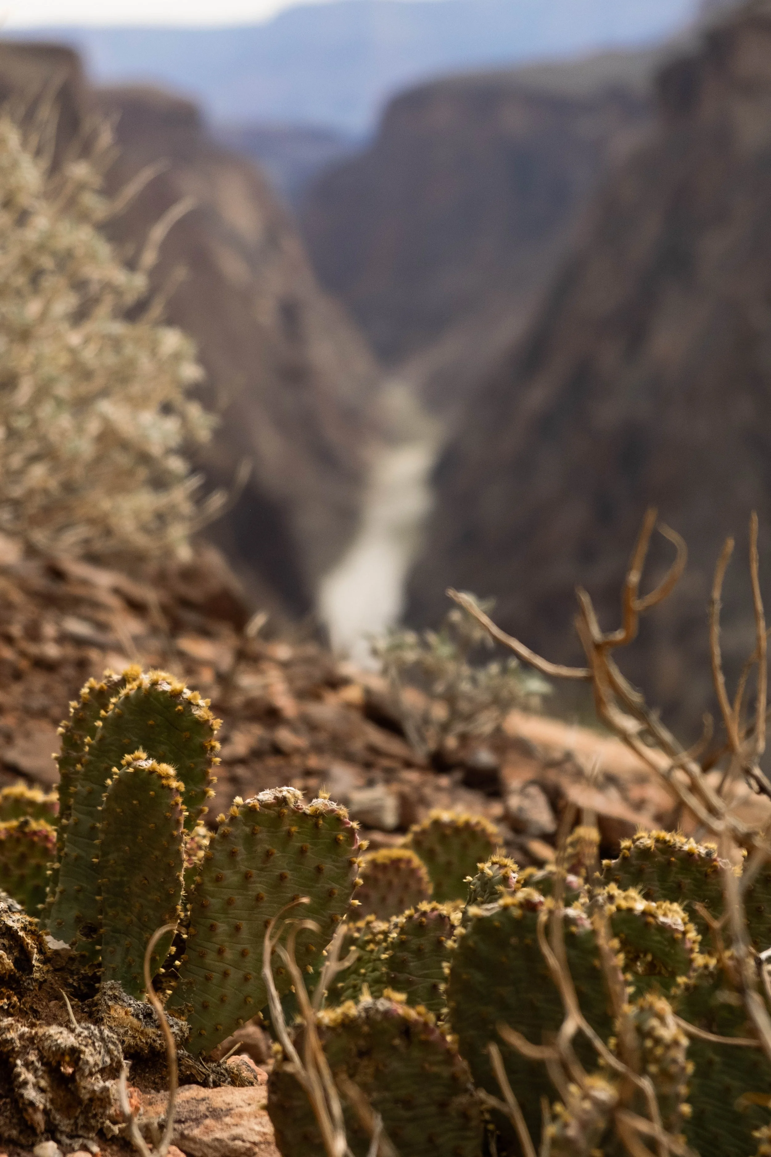
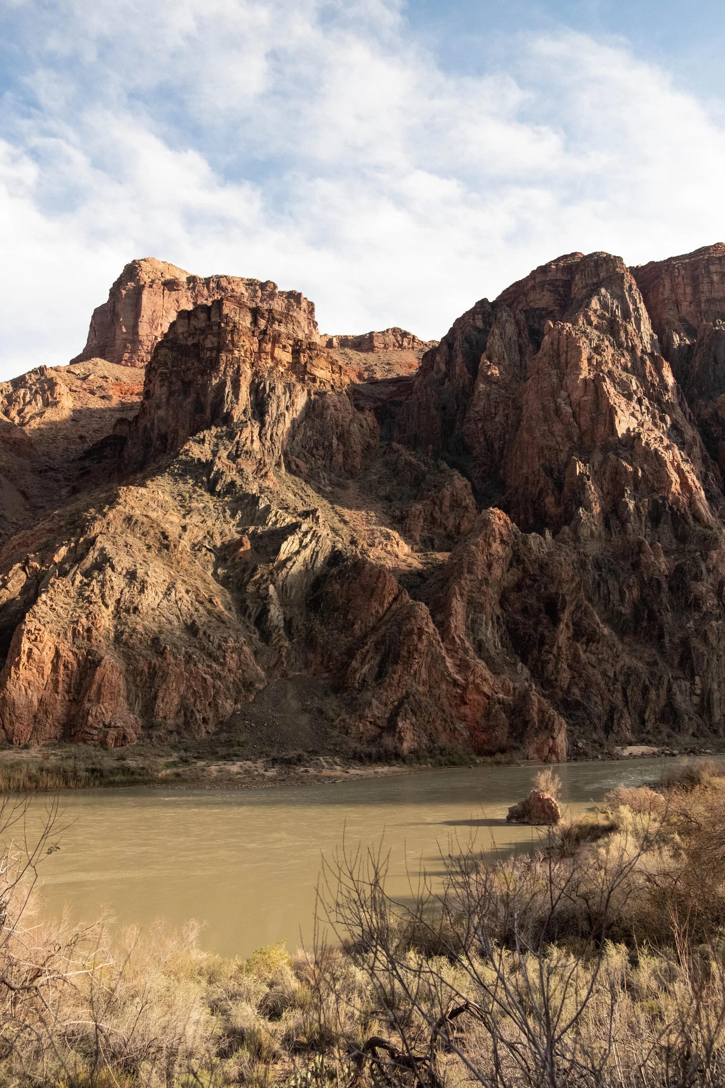
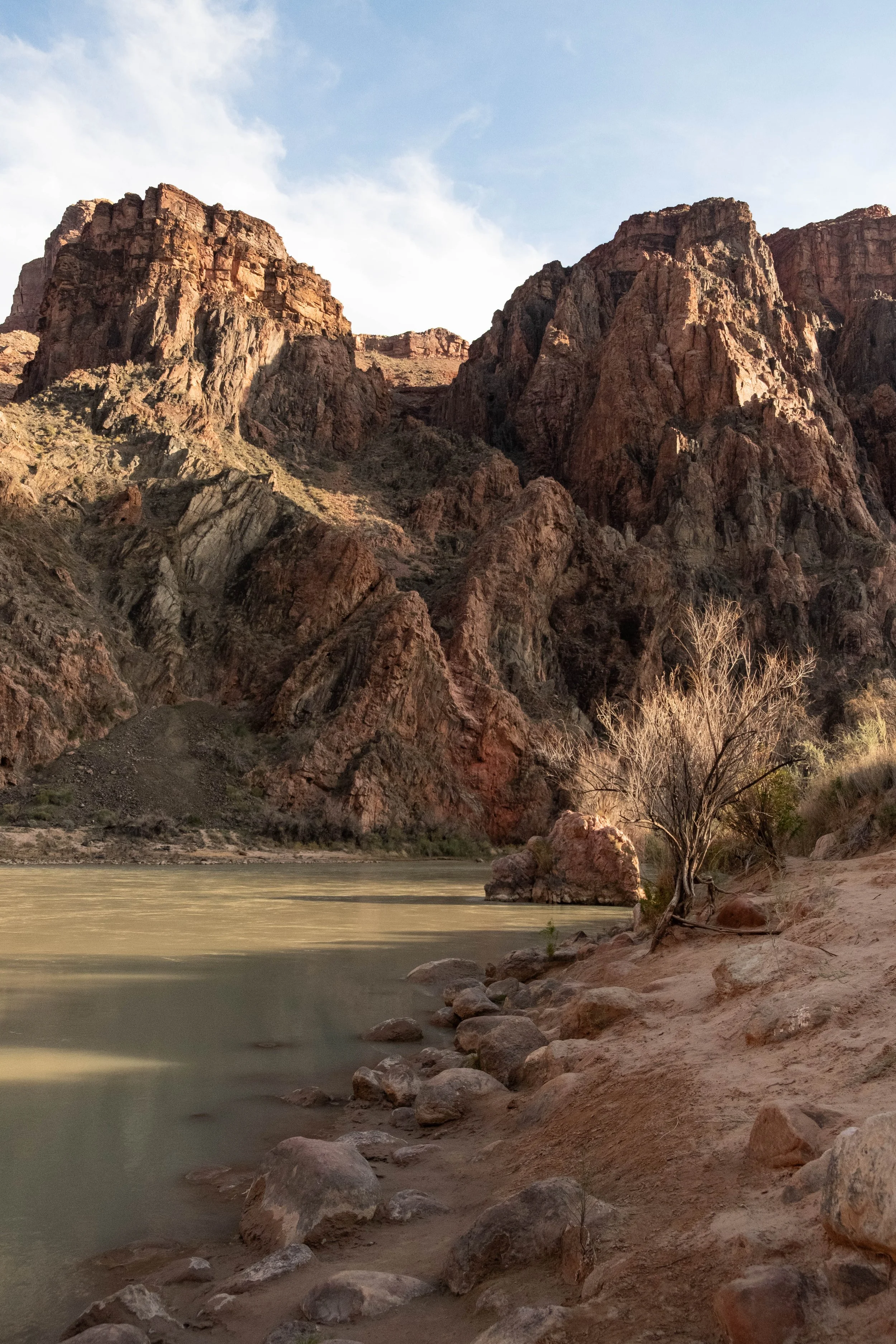
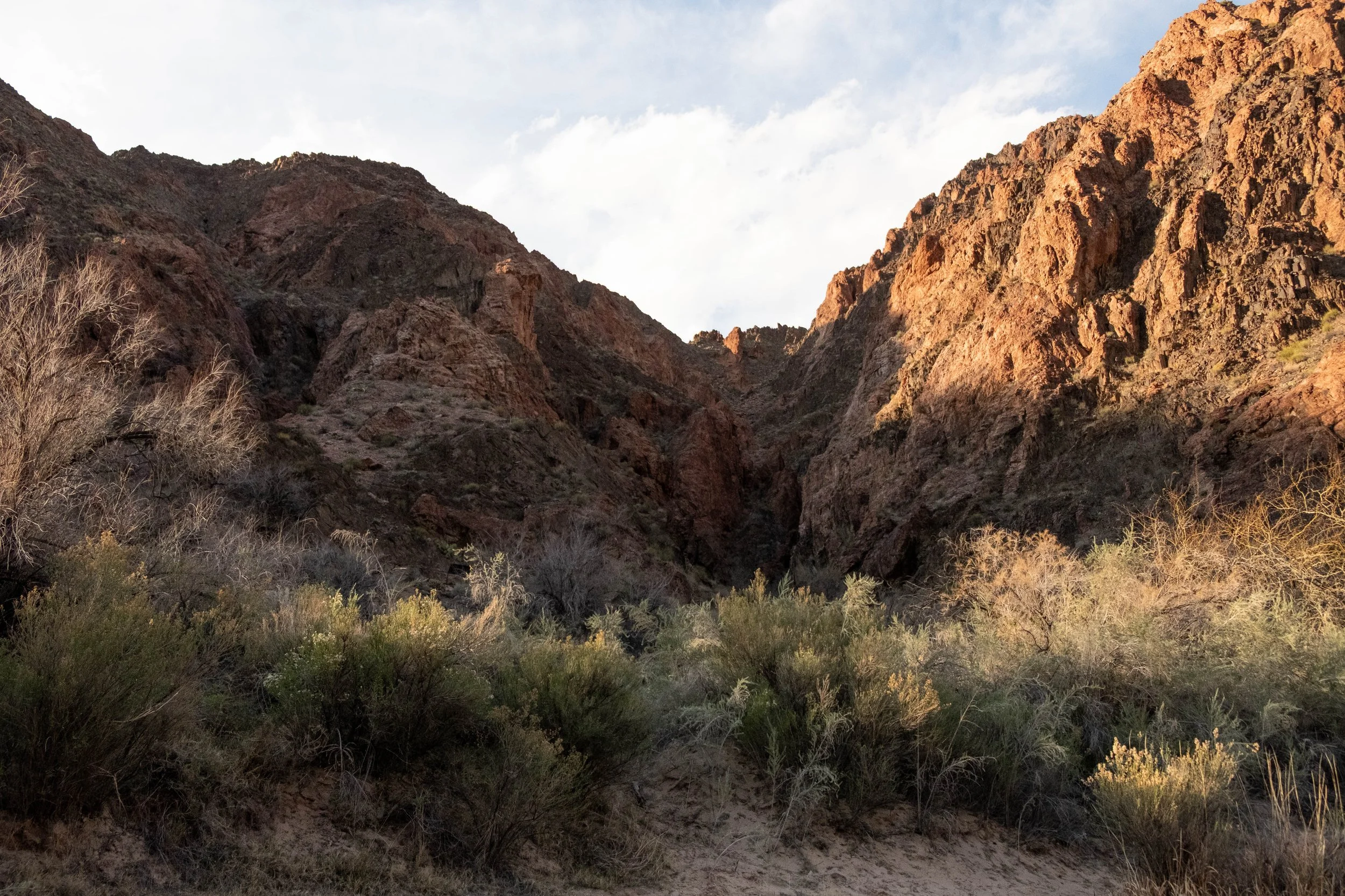
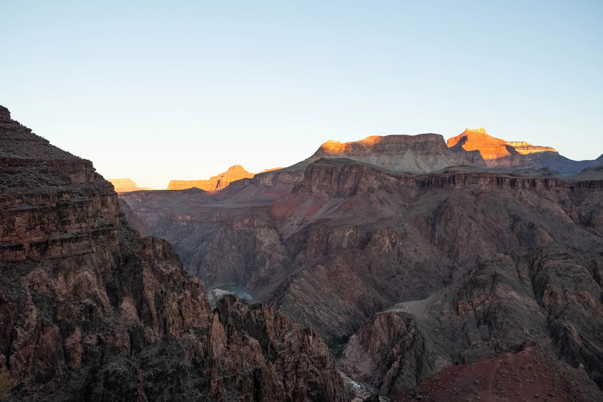
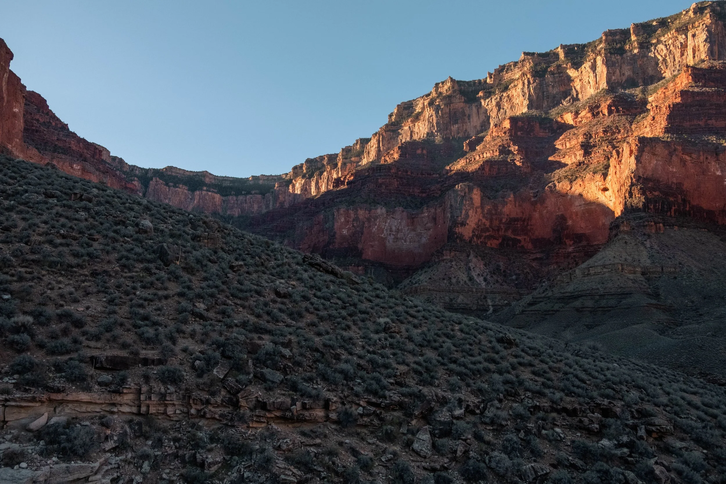
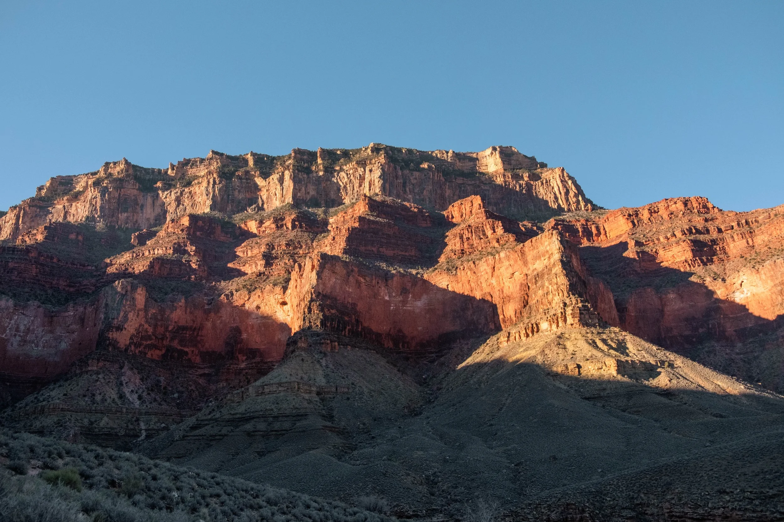
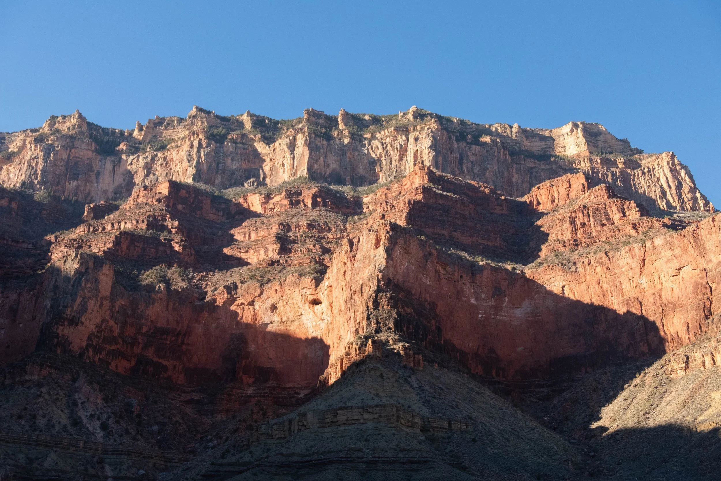
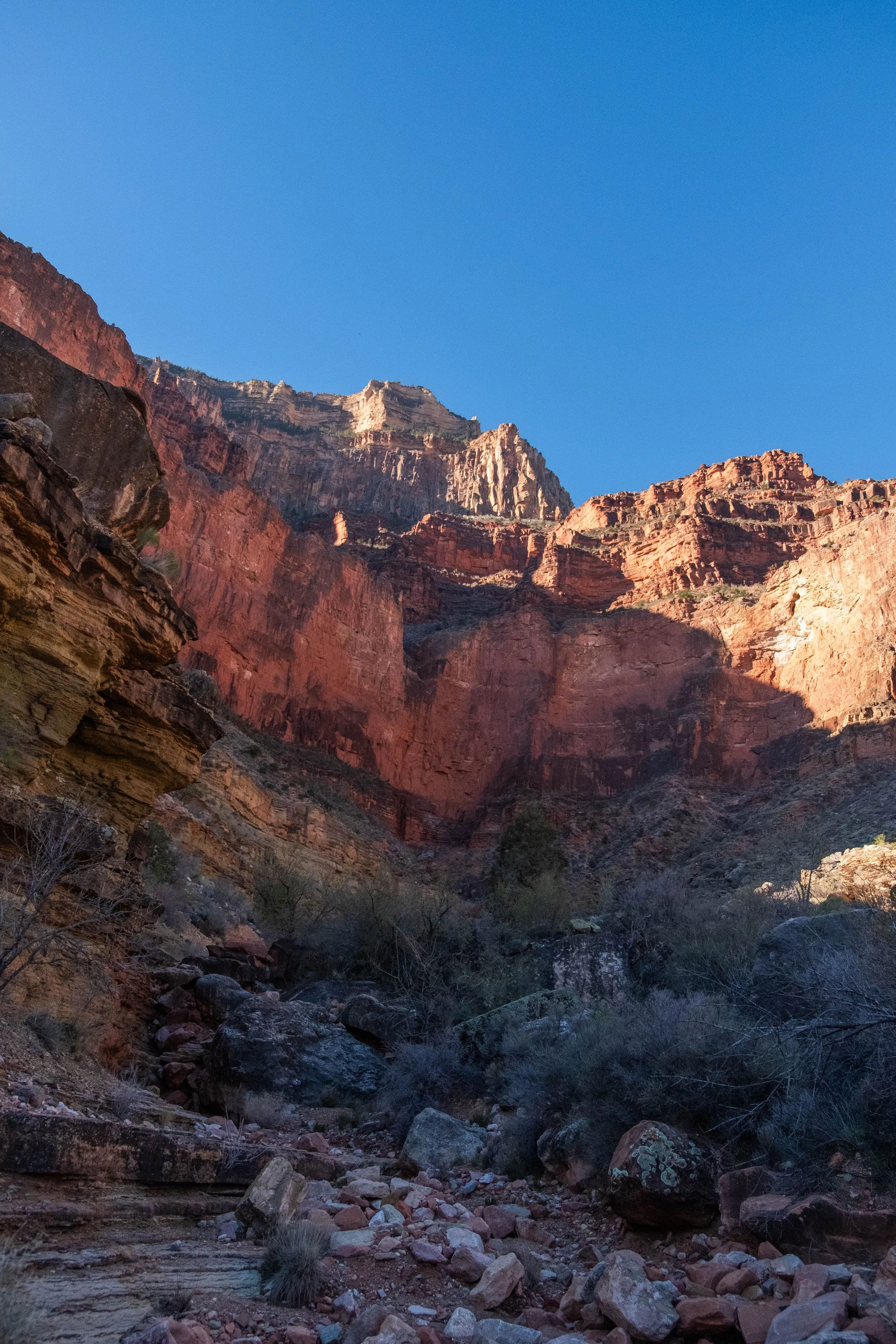
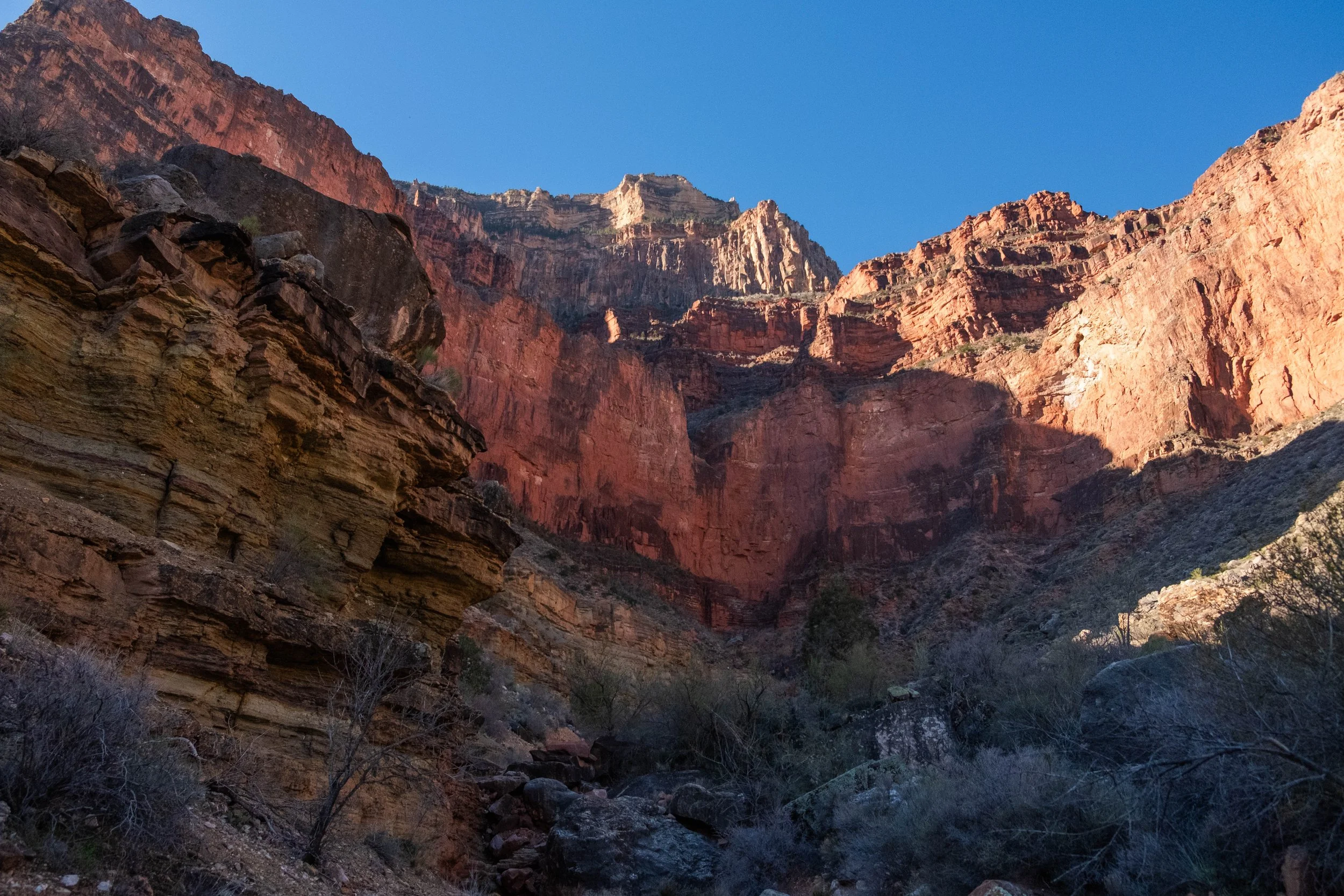
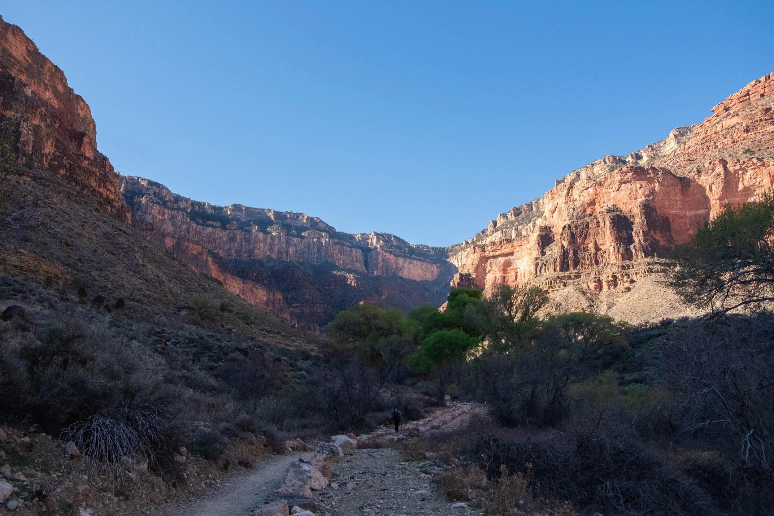
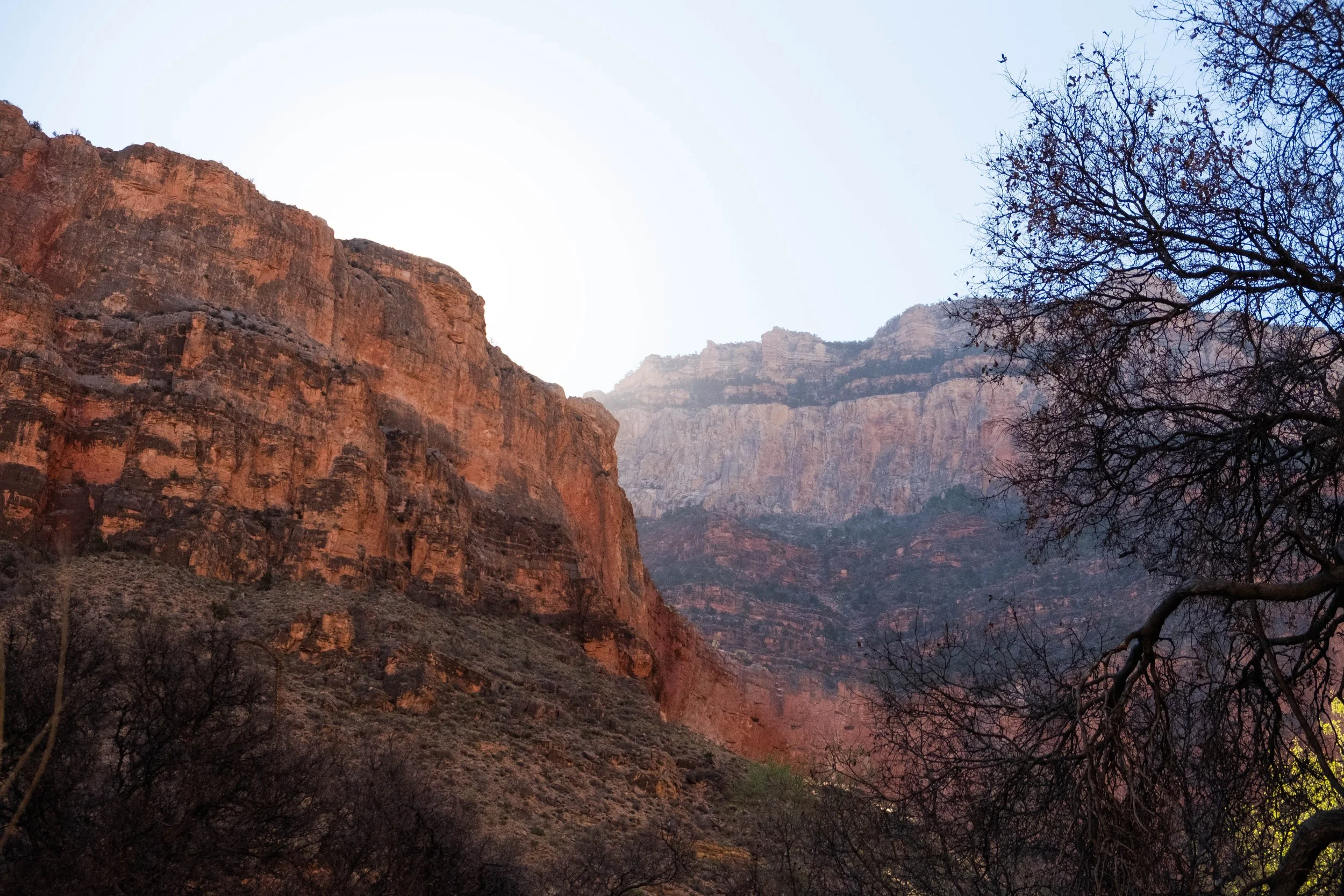
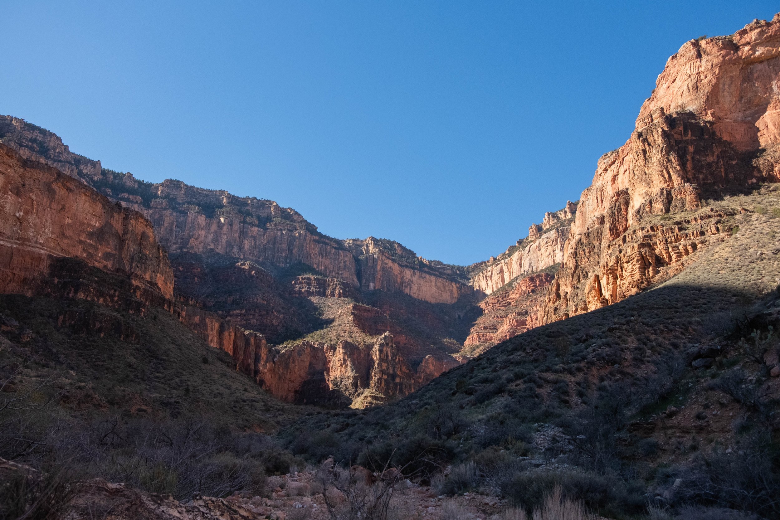
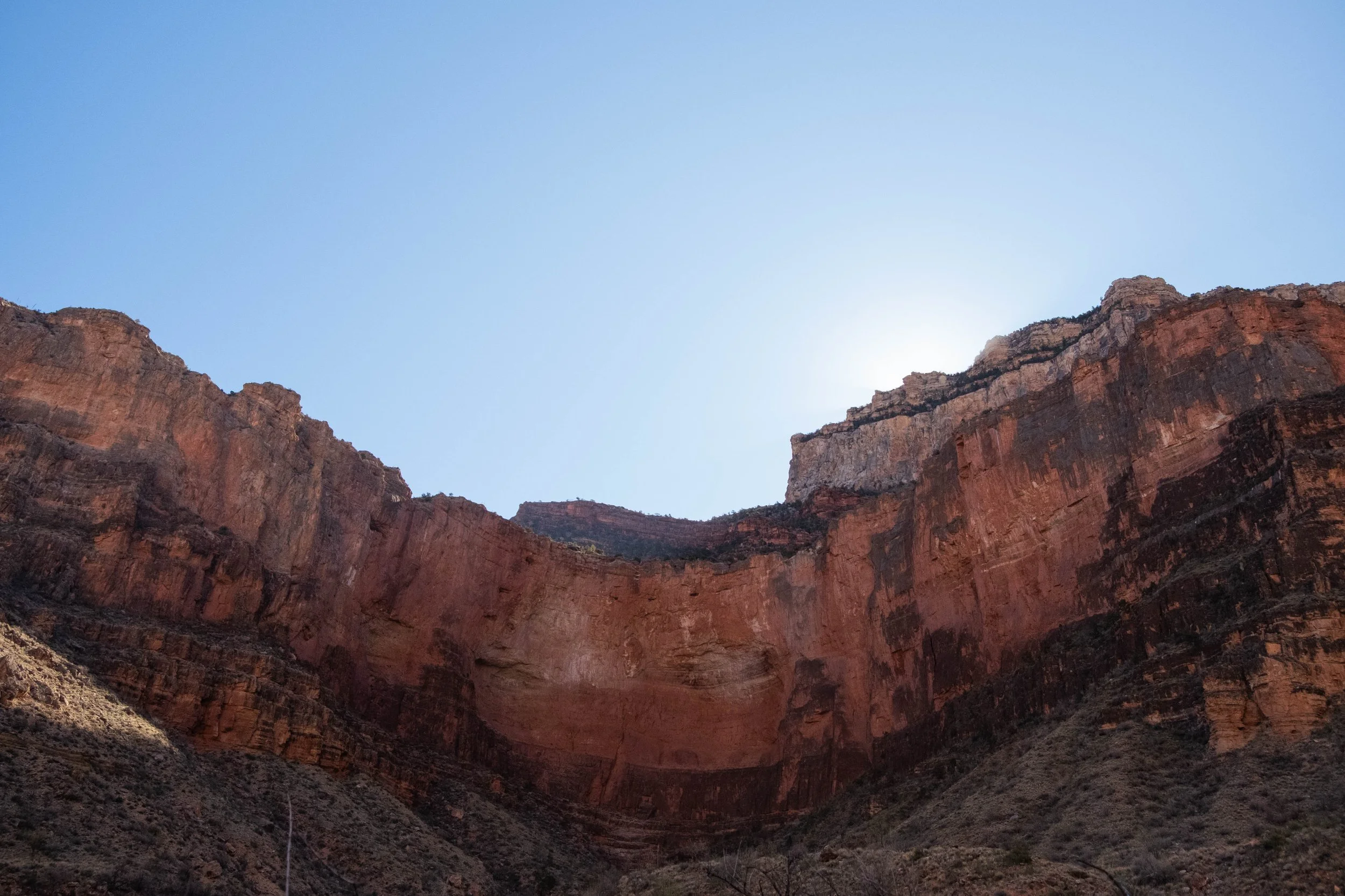
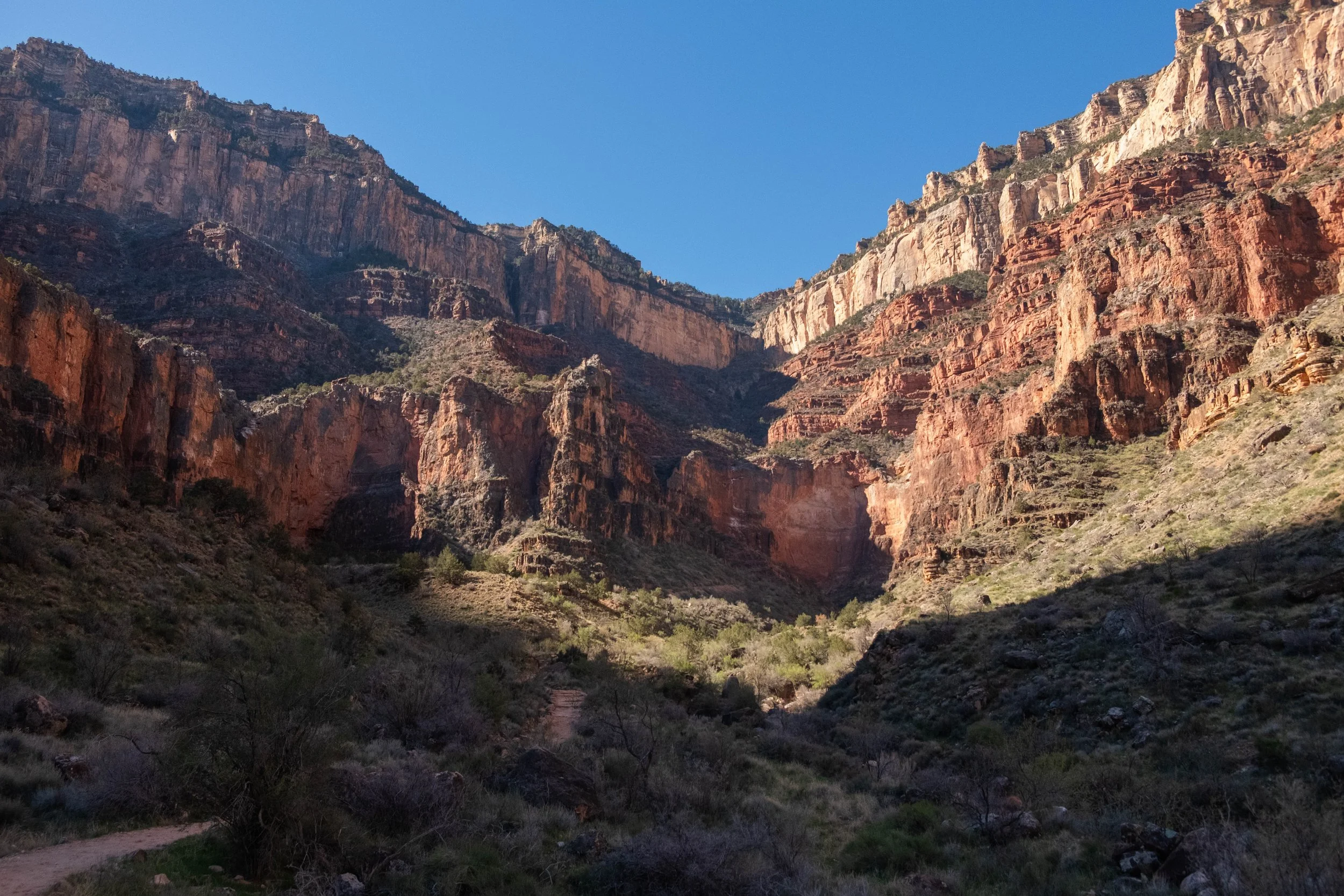
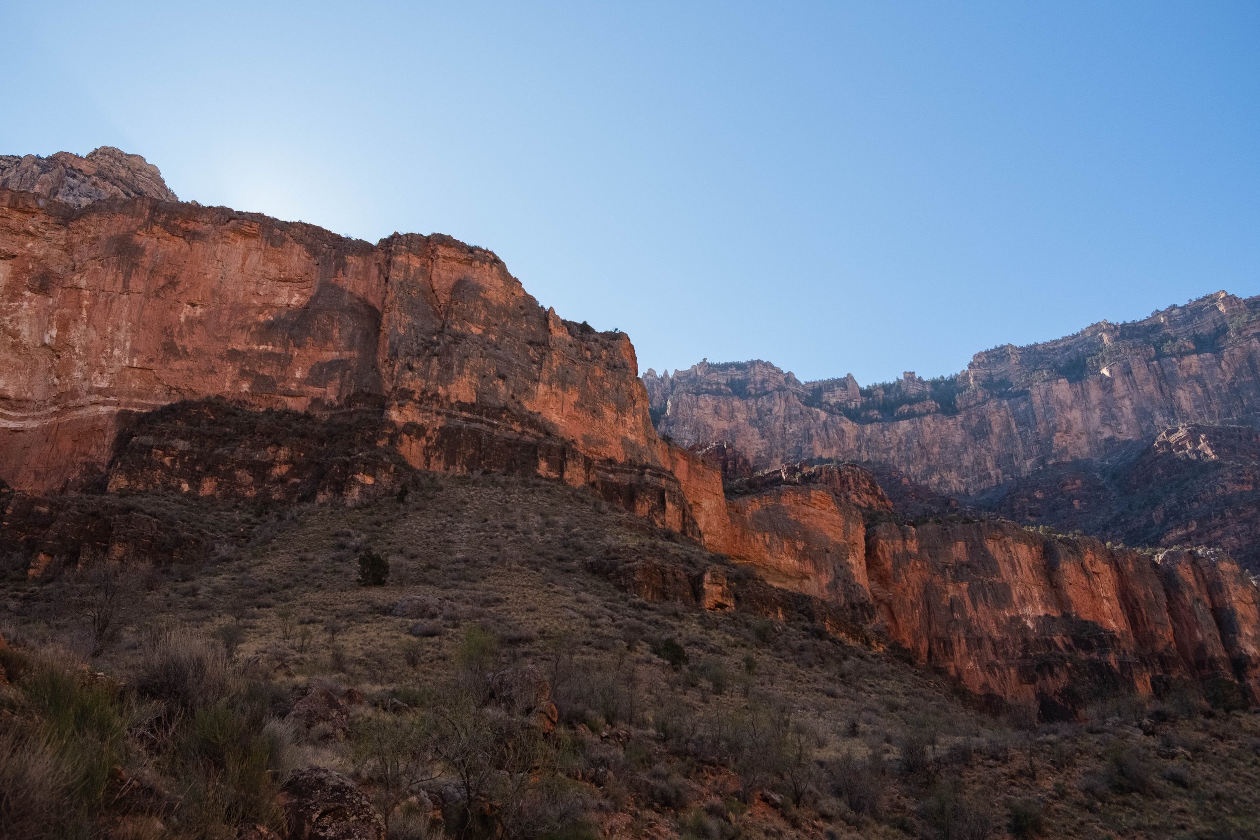
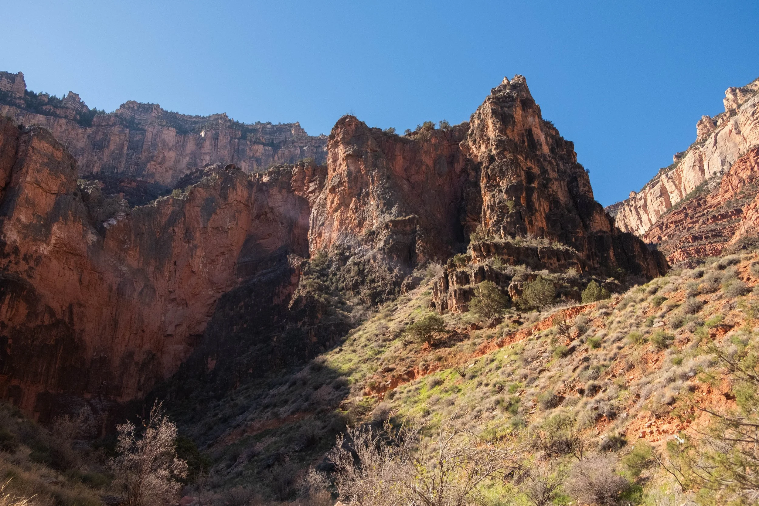
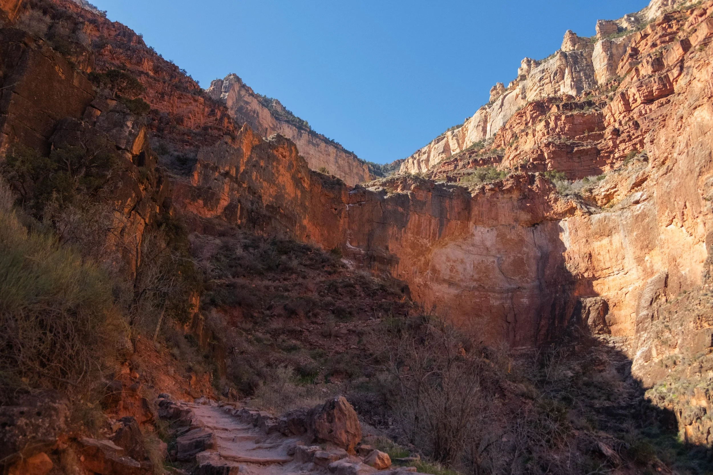
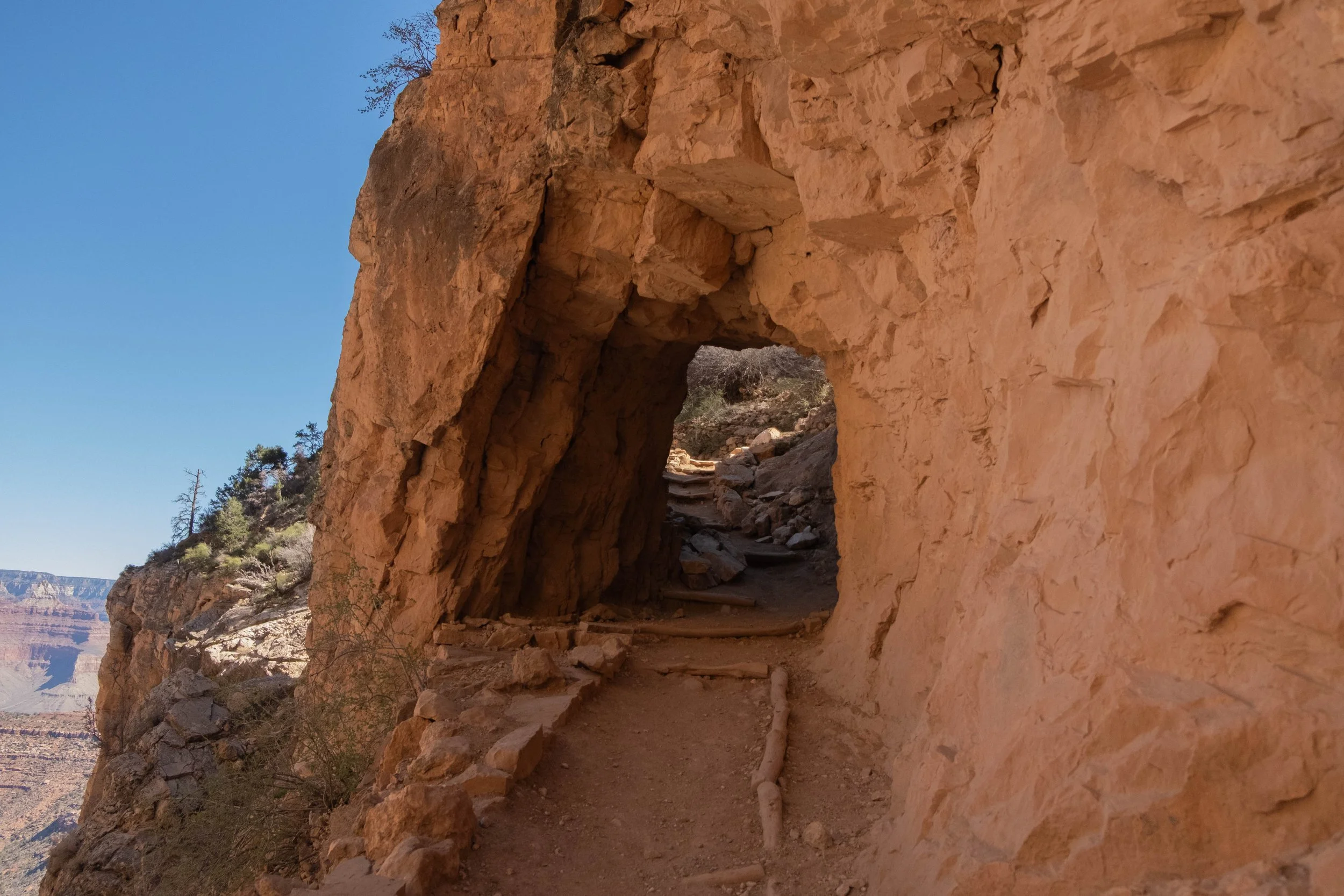
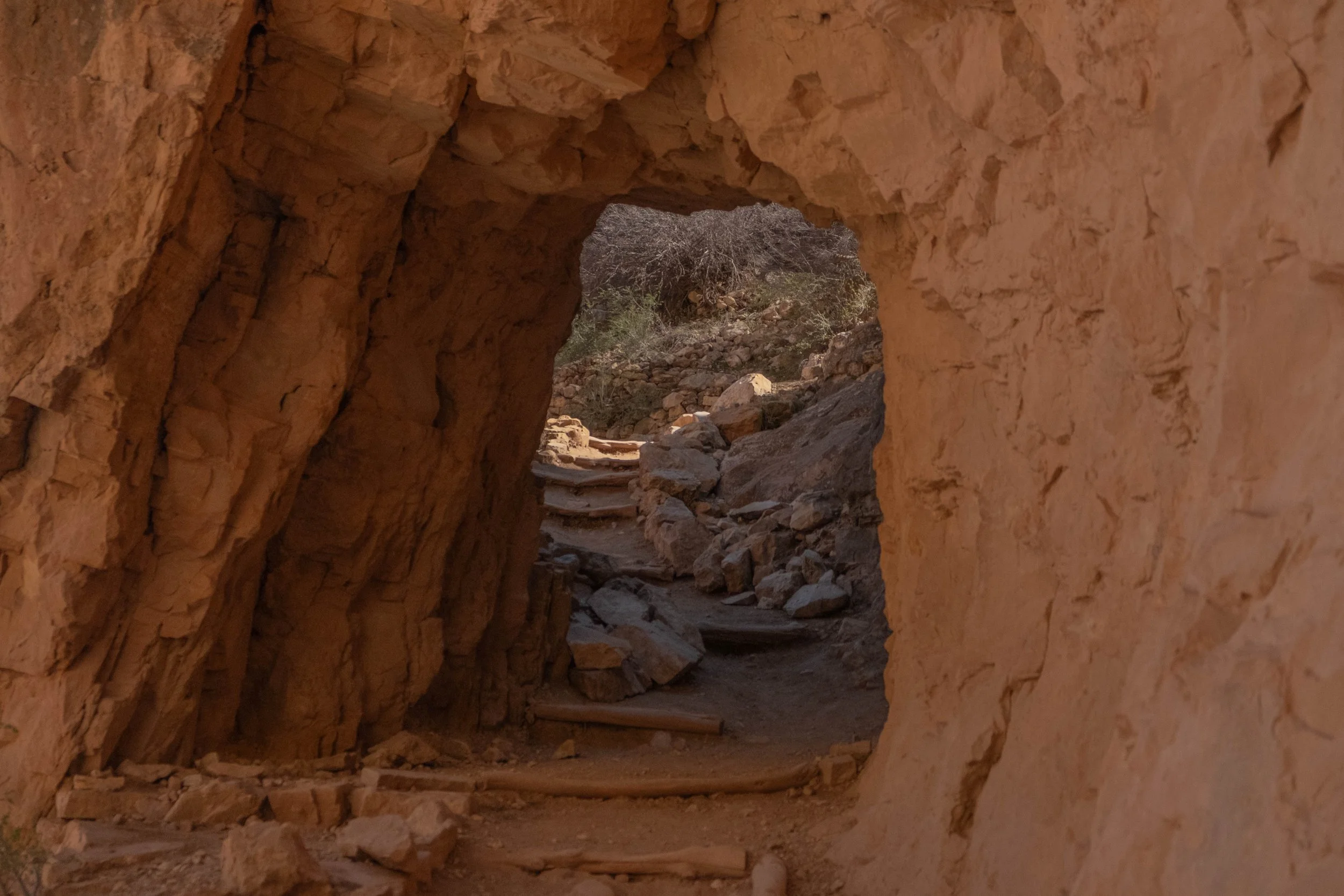
The Grand Canyon is aptly named and defies description. The views are difficult to put into words: Layers upon layers of rock that might be red, orange, blue, purple, green, yellow, or pink depending on the lighting and the makeup of the sediment. The hike down to the Colorado River is essentially a hike through more than a billion years of time; the rocks get older the deeper you go. It felt profound to see this place from every different angles as we continued our steep descent. We intersected with weary hikers trekking up from Phantom Ranch, long lines of mules carrying supplies out of the canyon, and NPS employees working on trail improvements. The latter, when asked, candidly shared with us how federal funding cuts over the last year have resulted in reduced personnel and difficulties maintaining the park.
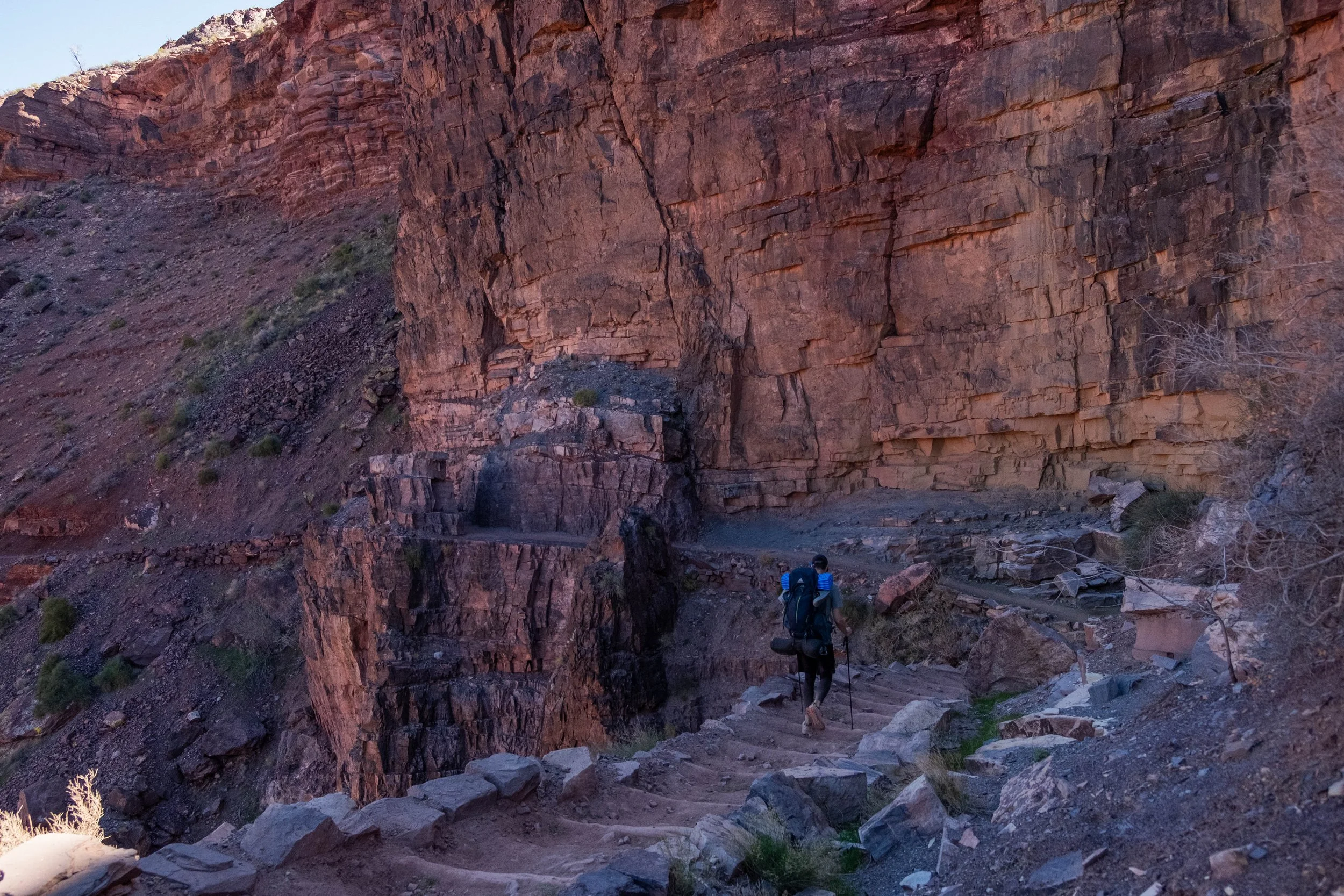
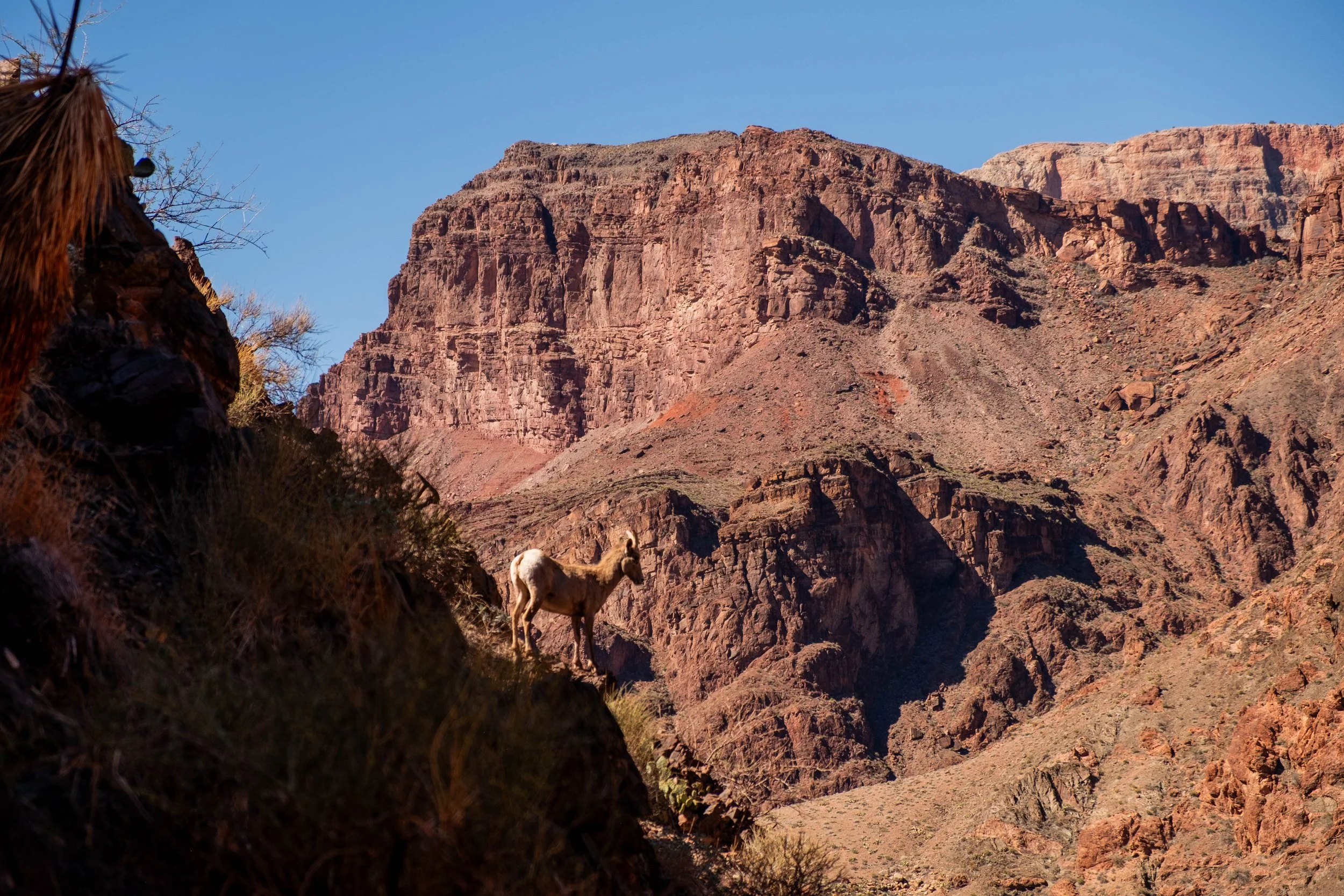
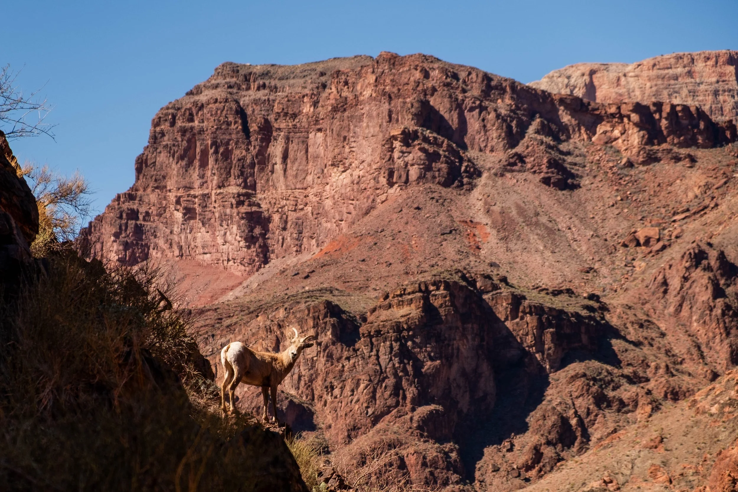
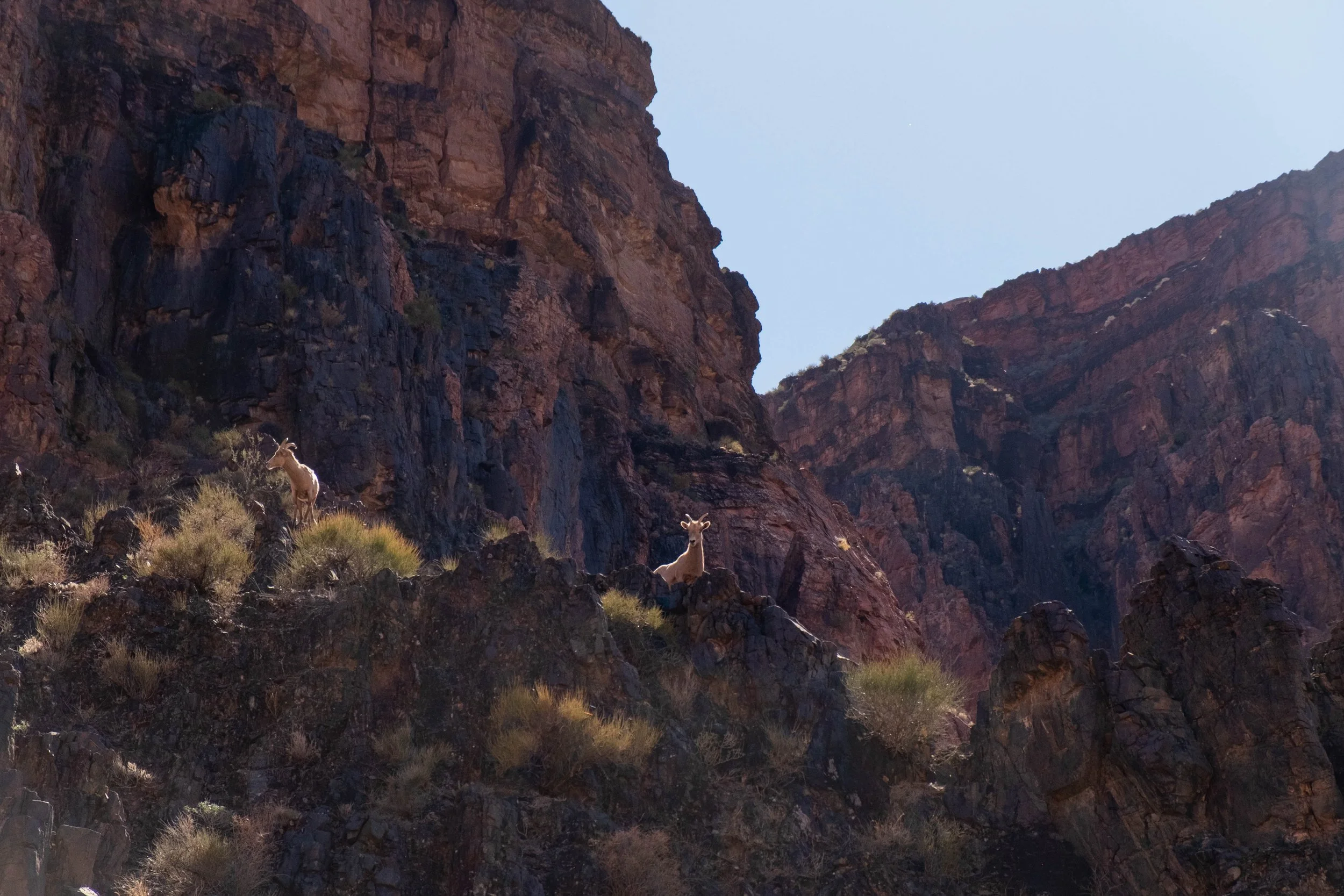
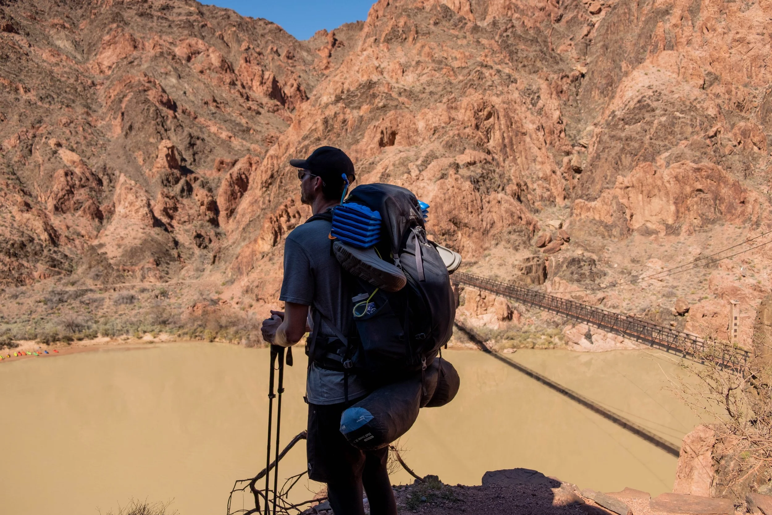
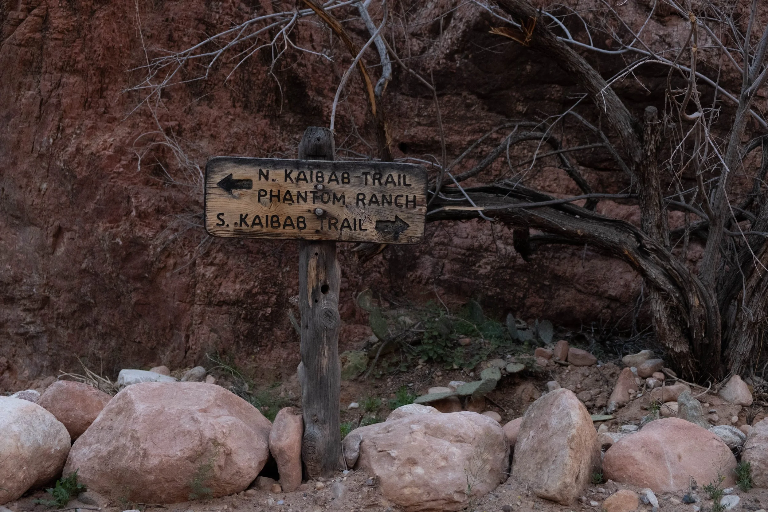
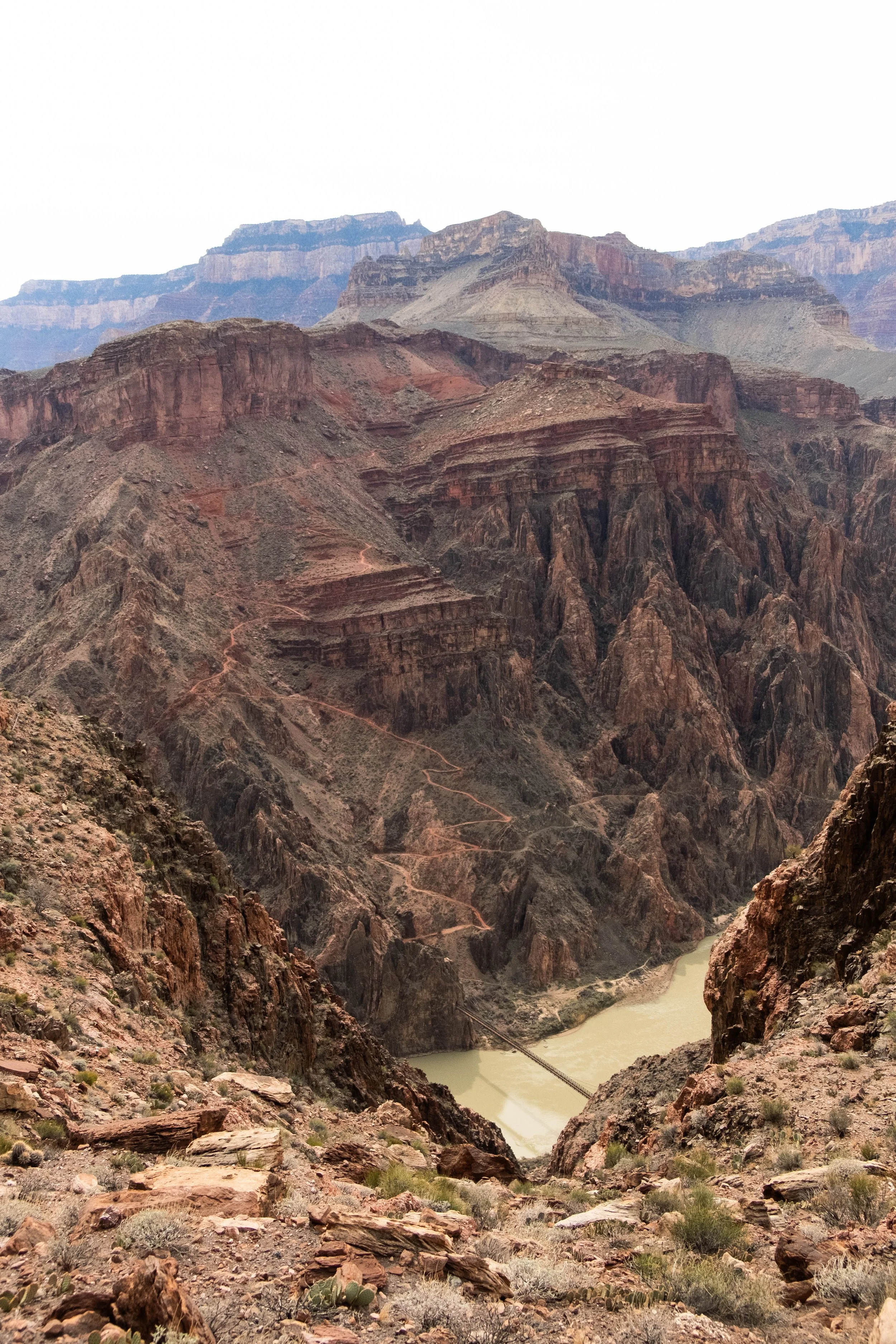
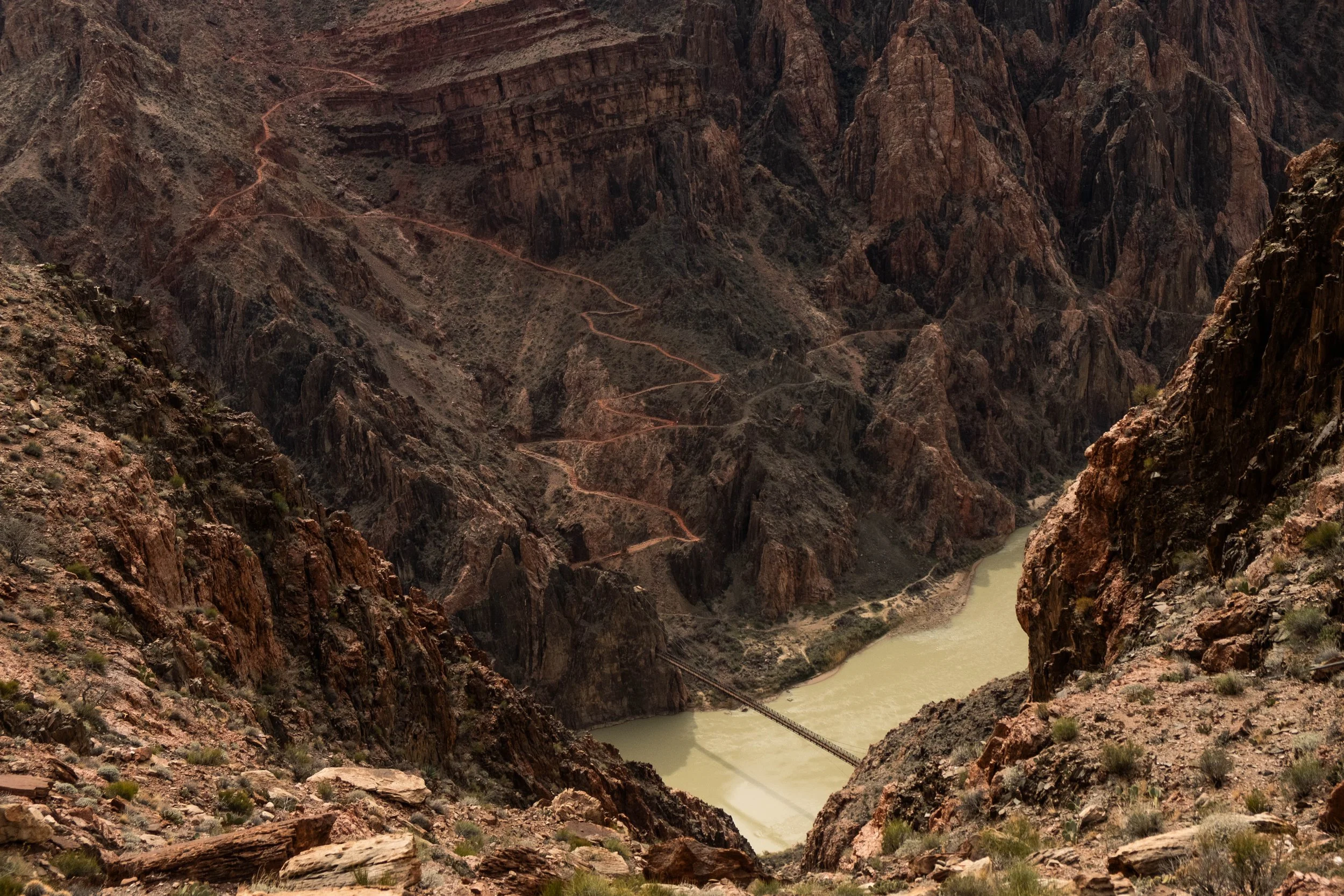
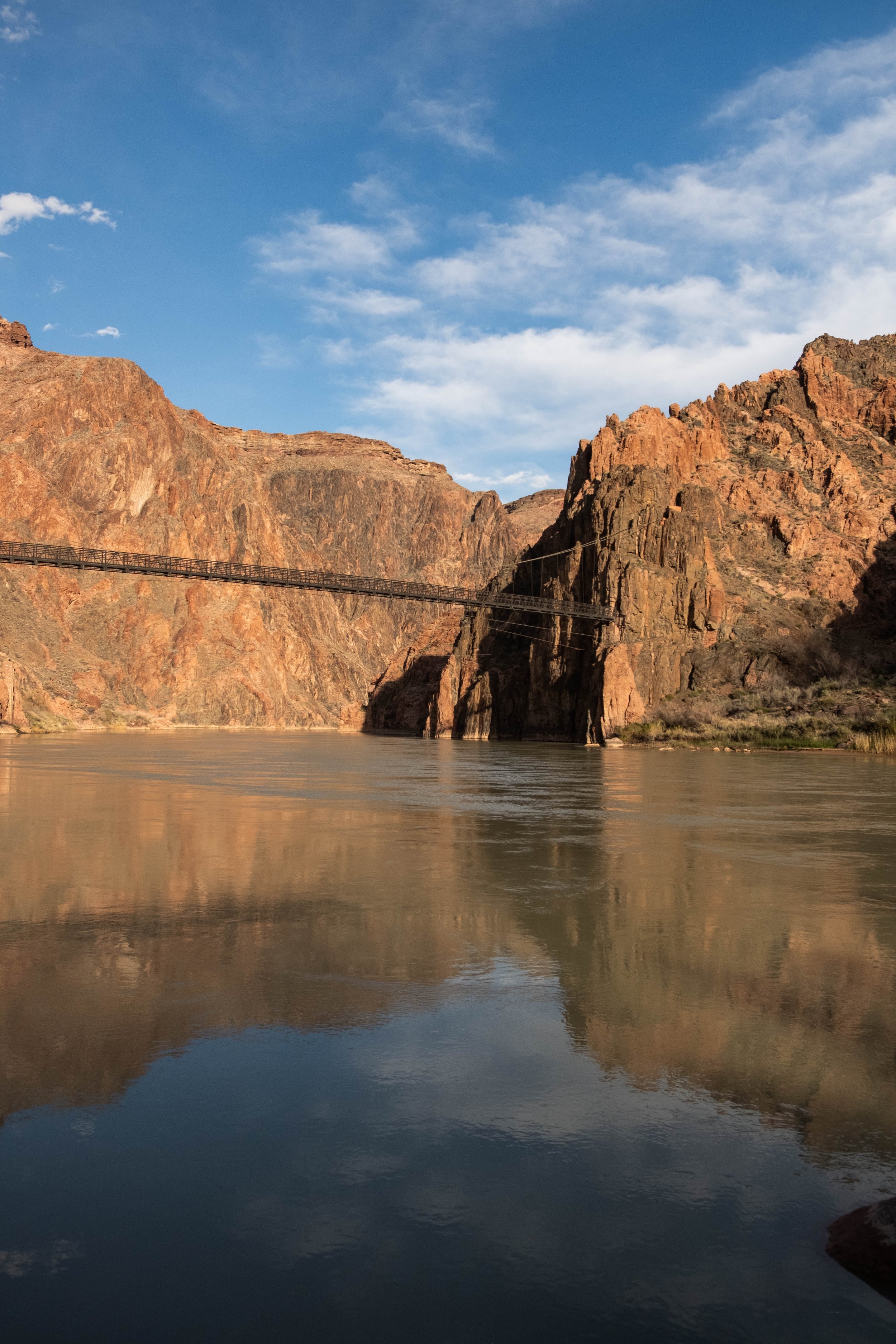
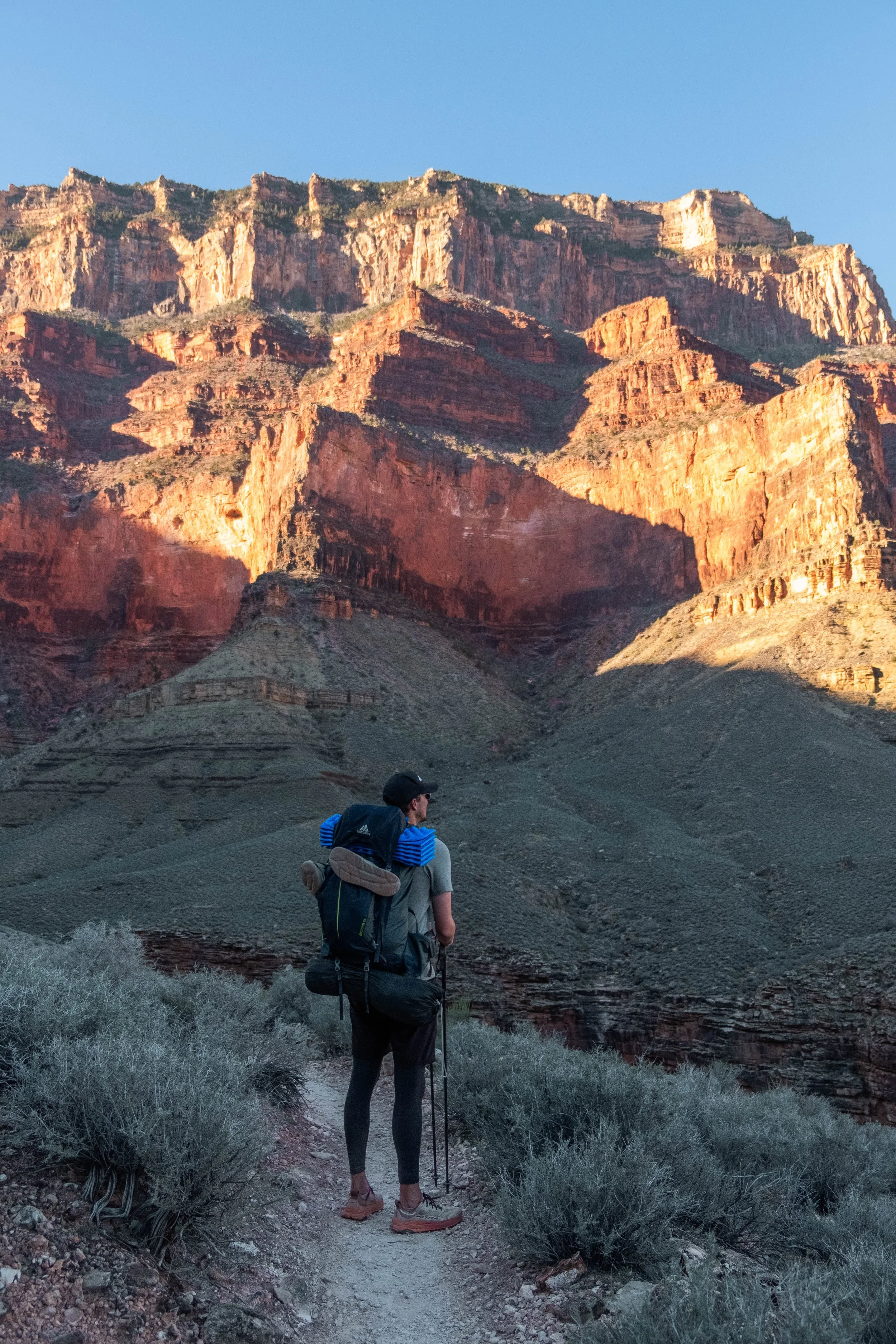
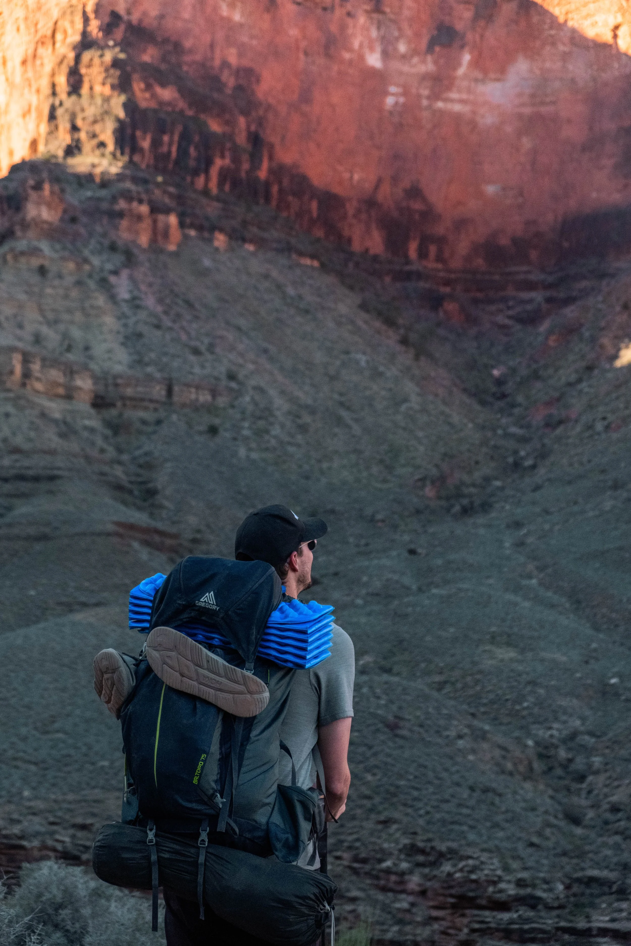
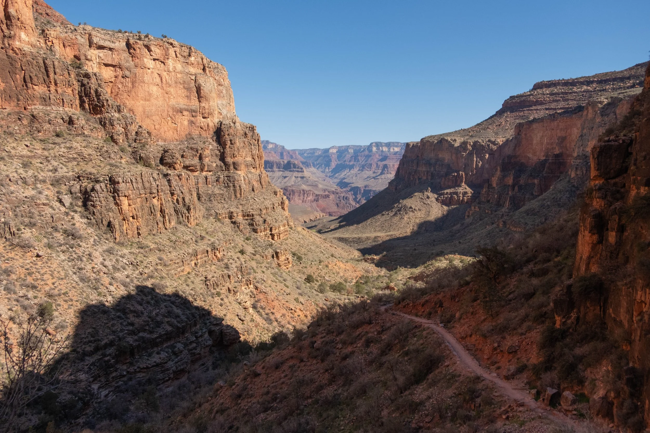
A mile and a half past Skeleton Point, we reached The Tipoff, the final resting point on the South Kaibab before reaching our destination: Bright Angel Campground and nearby Phantom Ranch. This was also the place we would ascend to when leaving the canyon, before cutting across the Tonto Plateau to finish our ascent via Bright Angel, the other established South Rim trail. We hydrated, ate a snack, and then continued on for the push to the bottom. It was hot at this point, which is my hiking kryptonite, but the next section of trail flew by as we were delighted to come across two desert bighorn sheep. We hiked alongside these shy, curious cuties for most of the way down to the river.
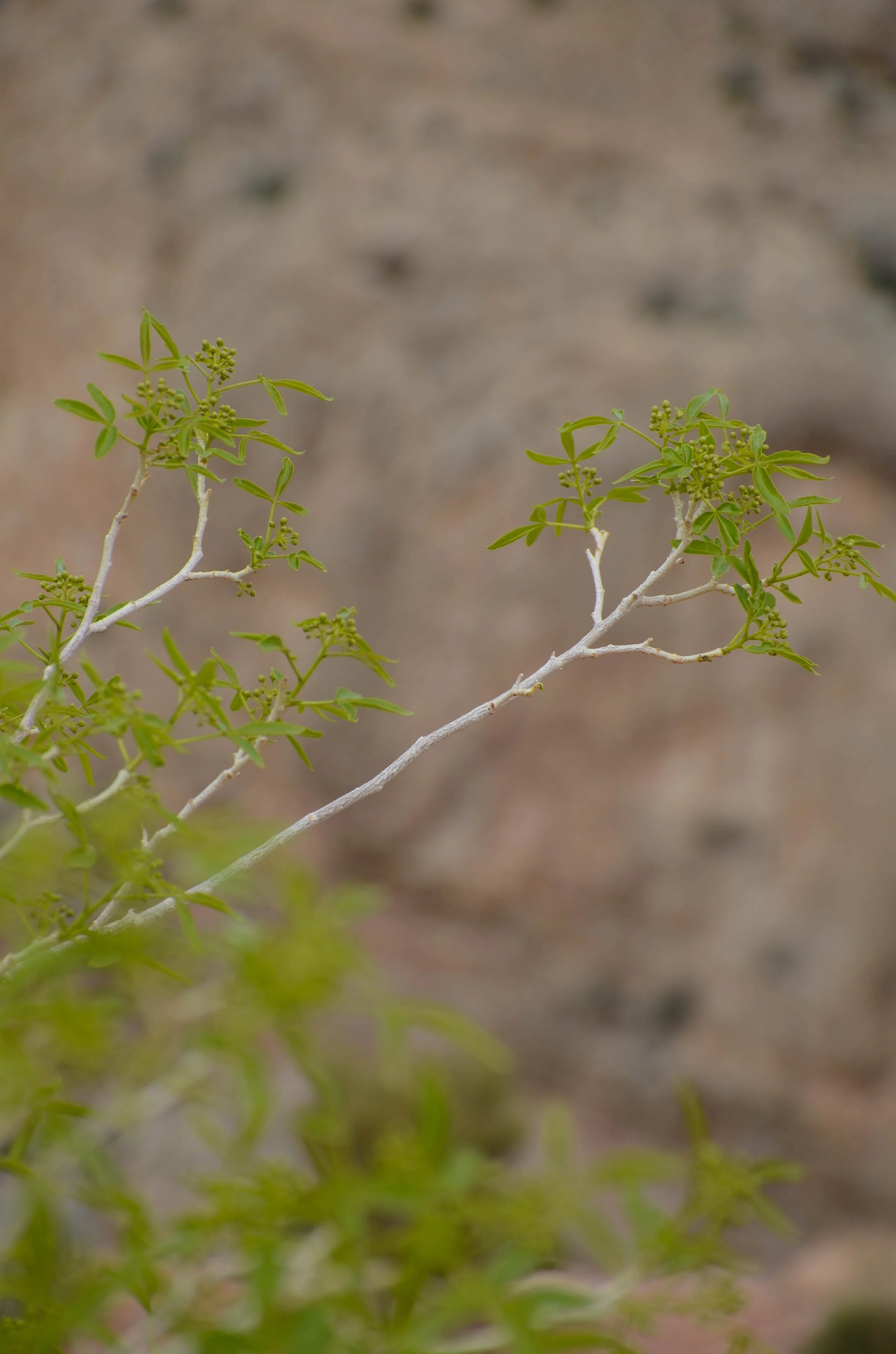
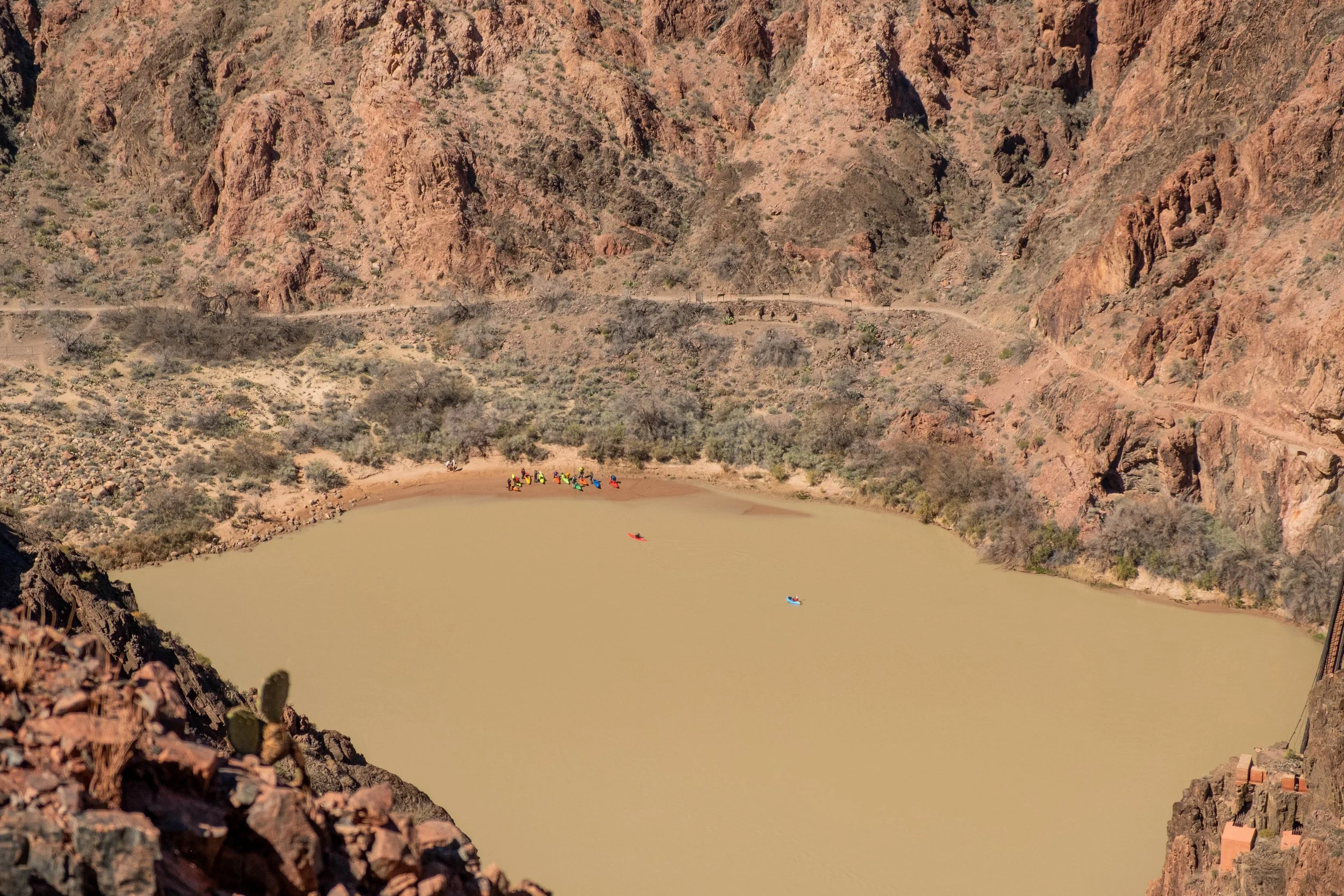
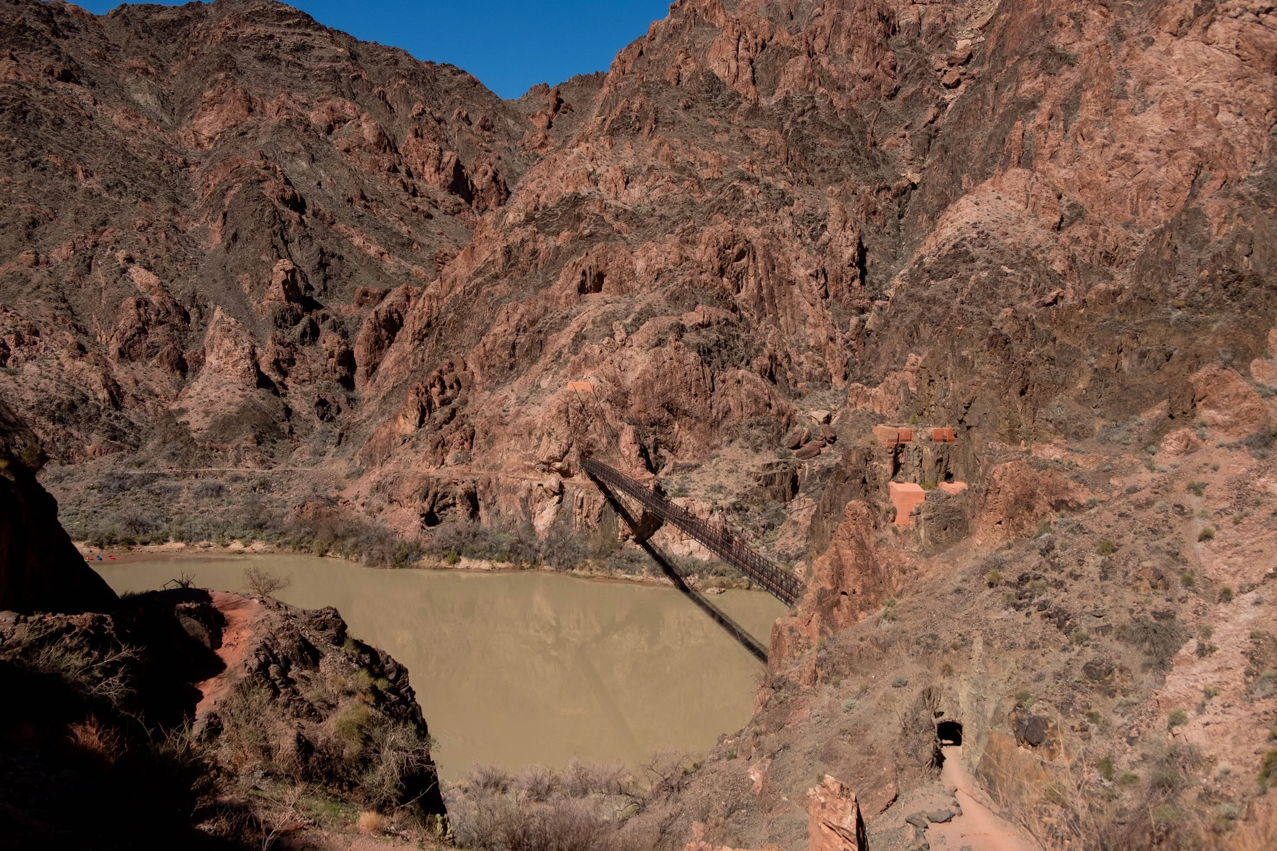
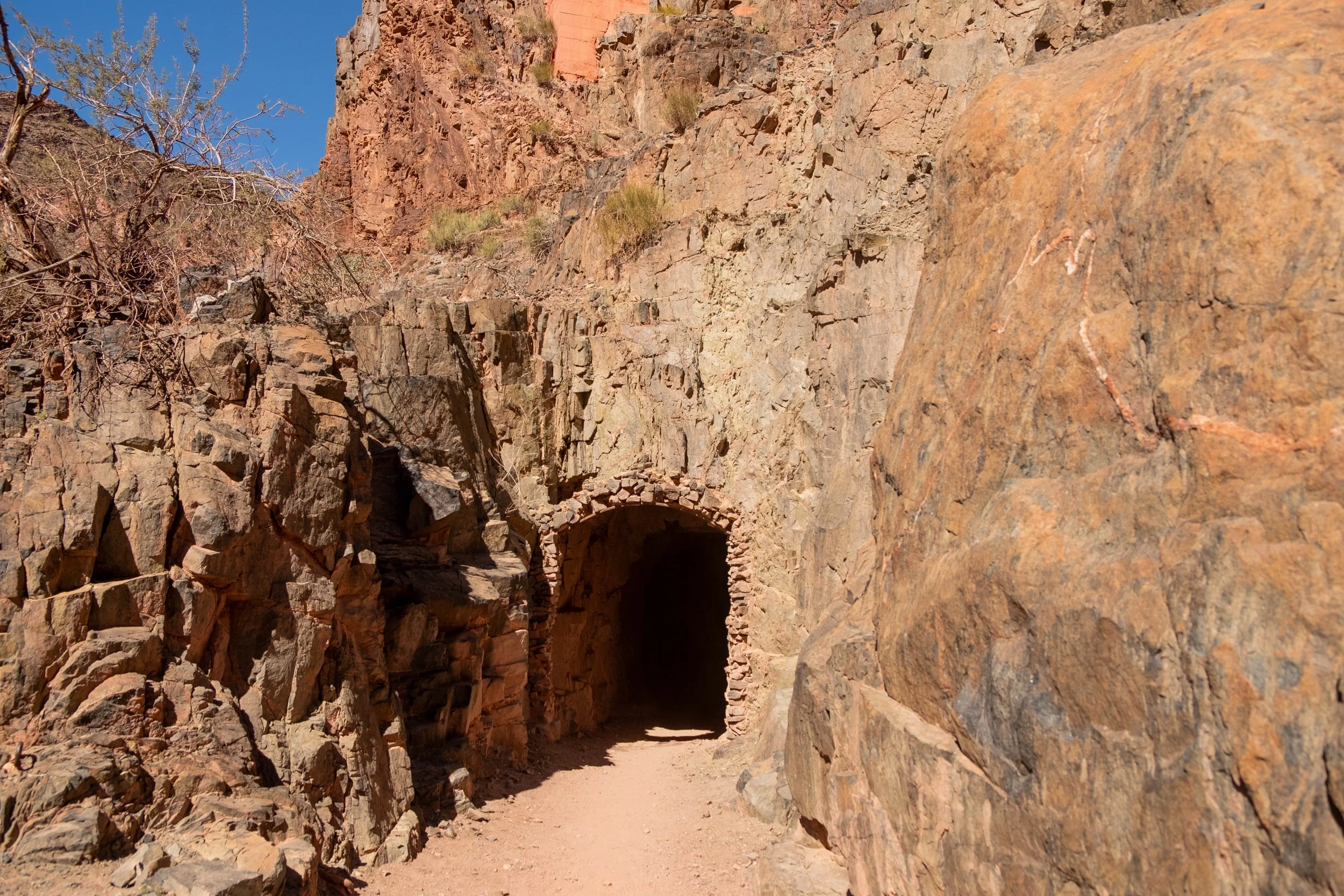
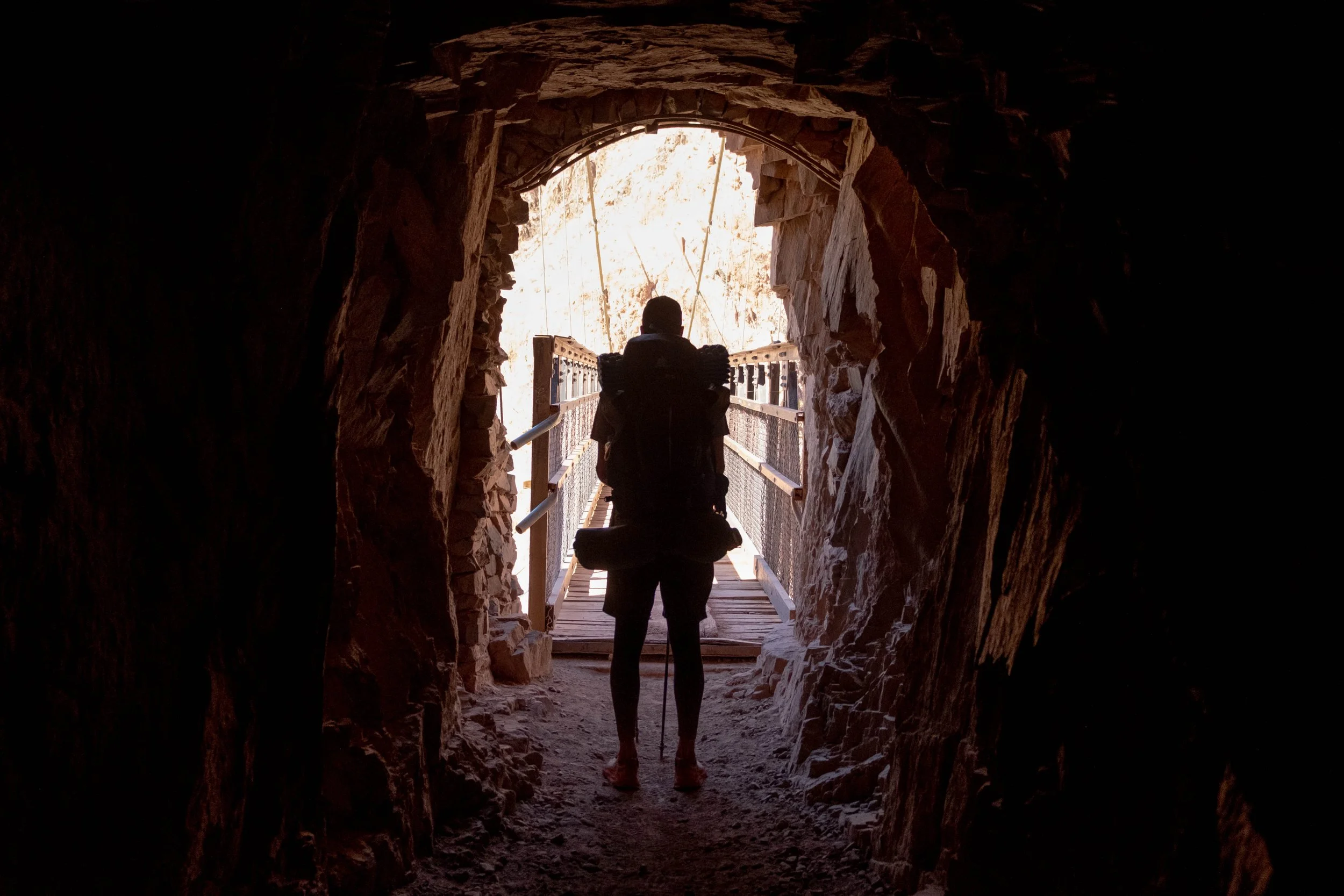
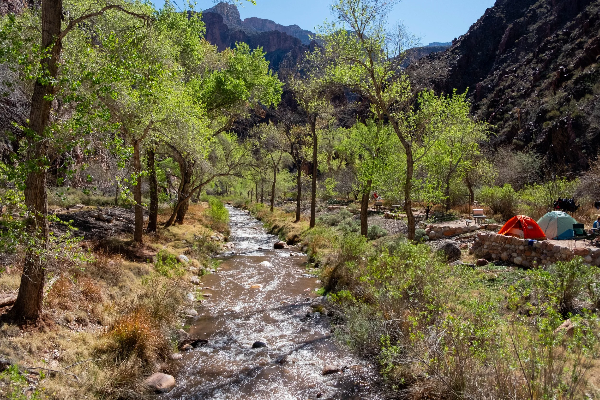
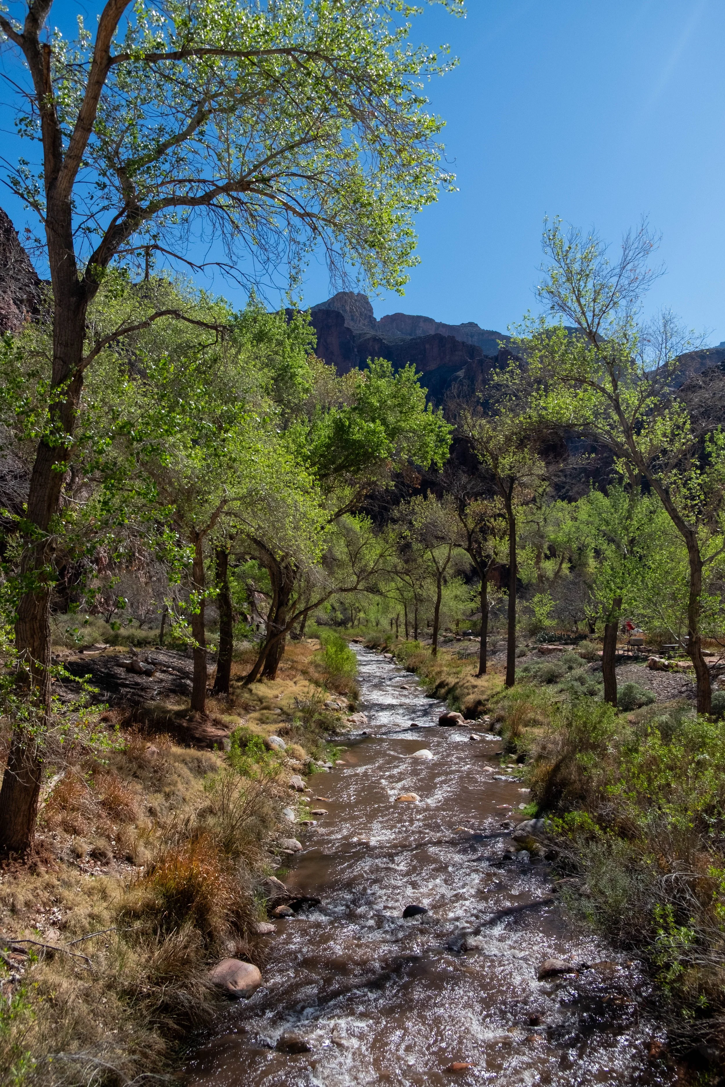
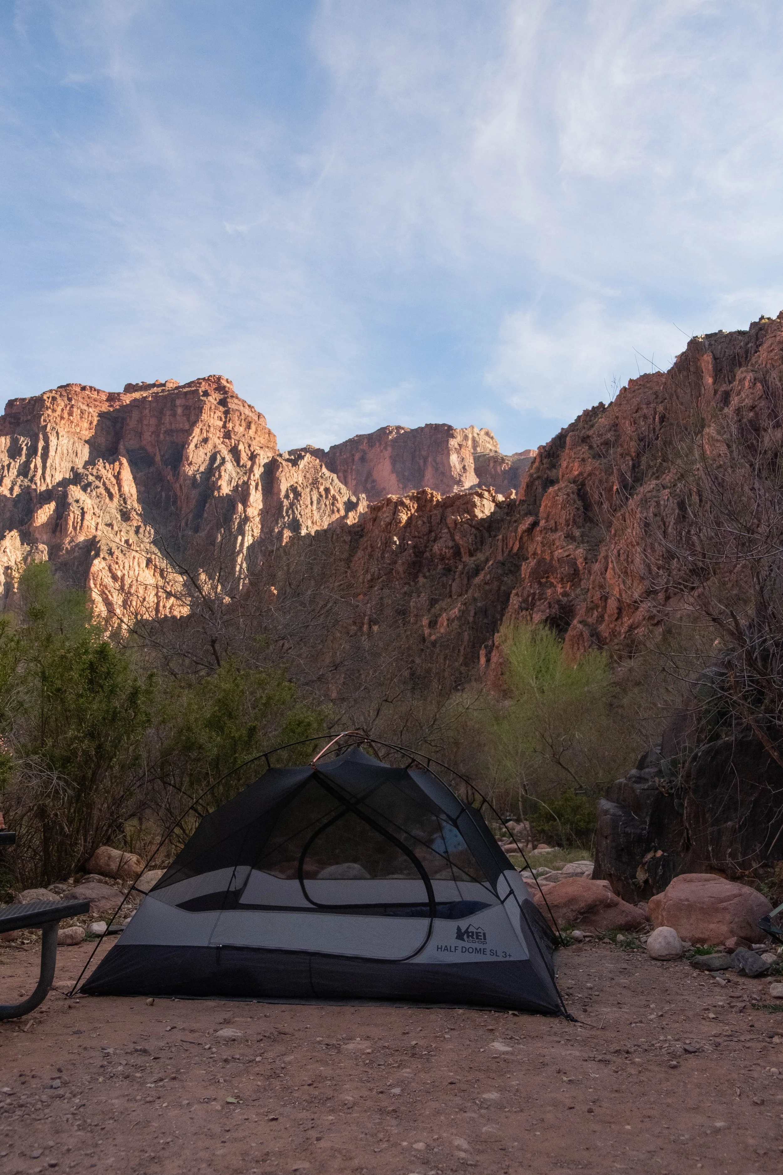
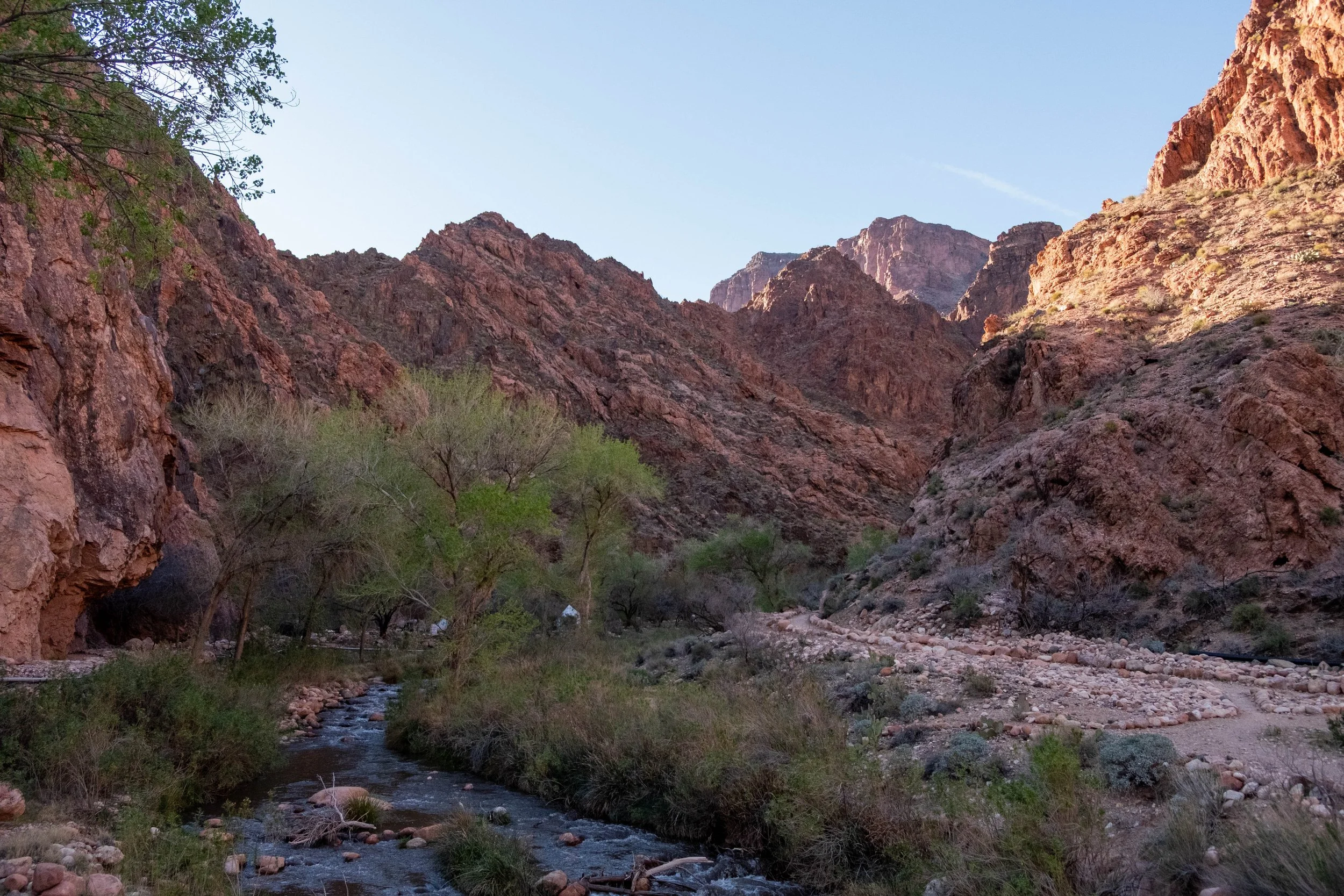
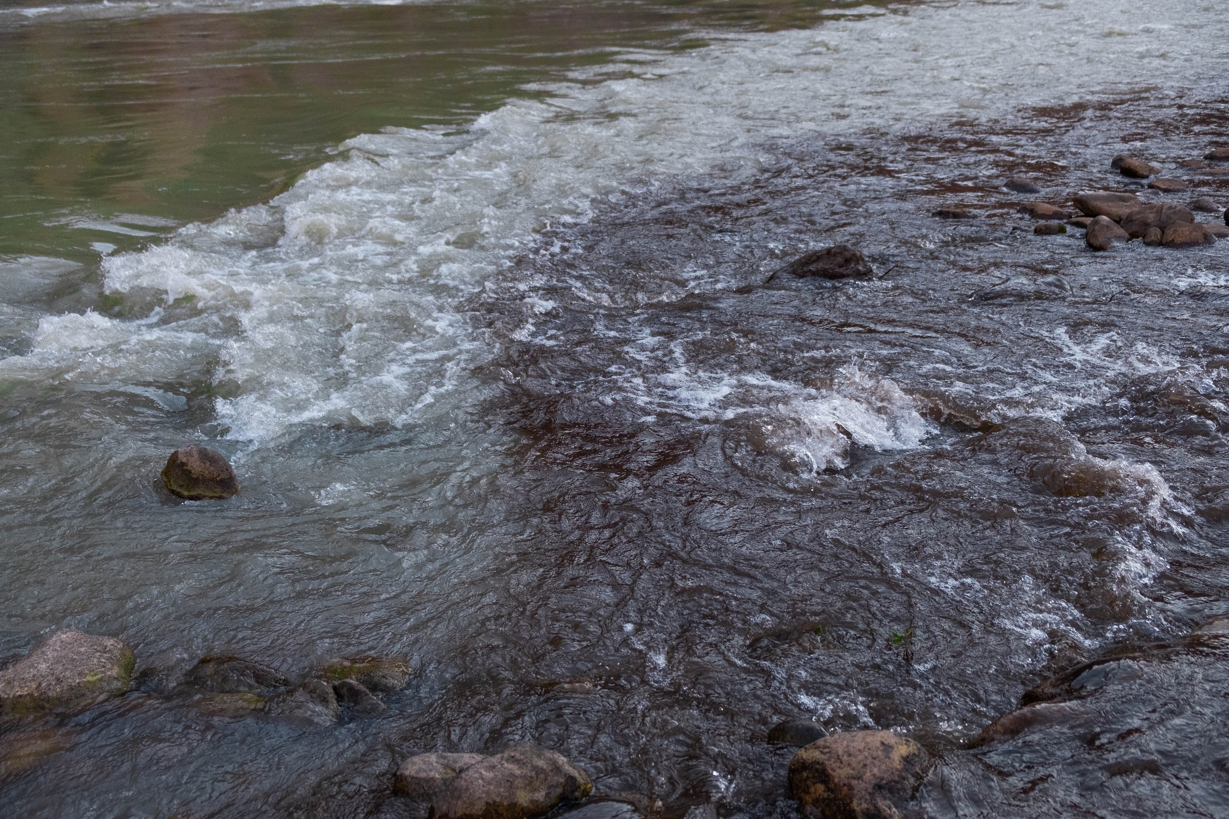
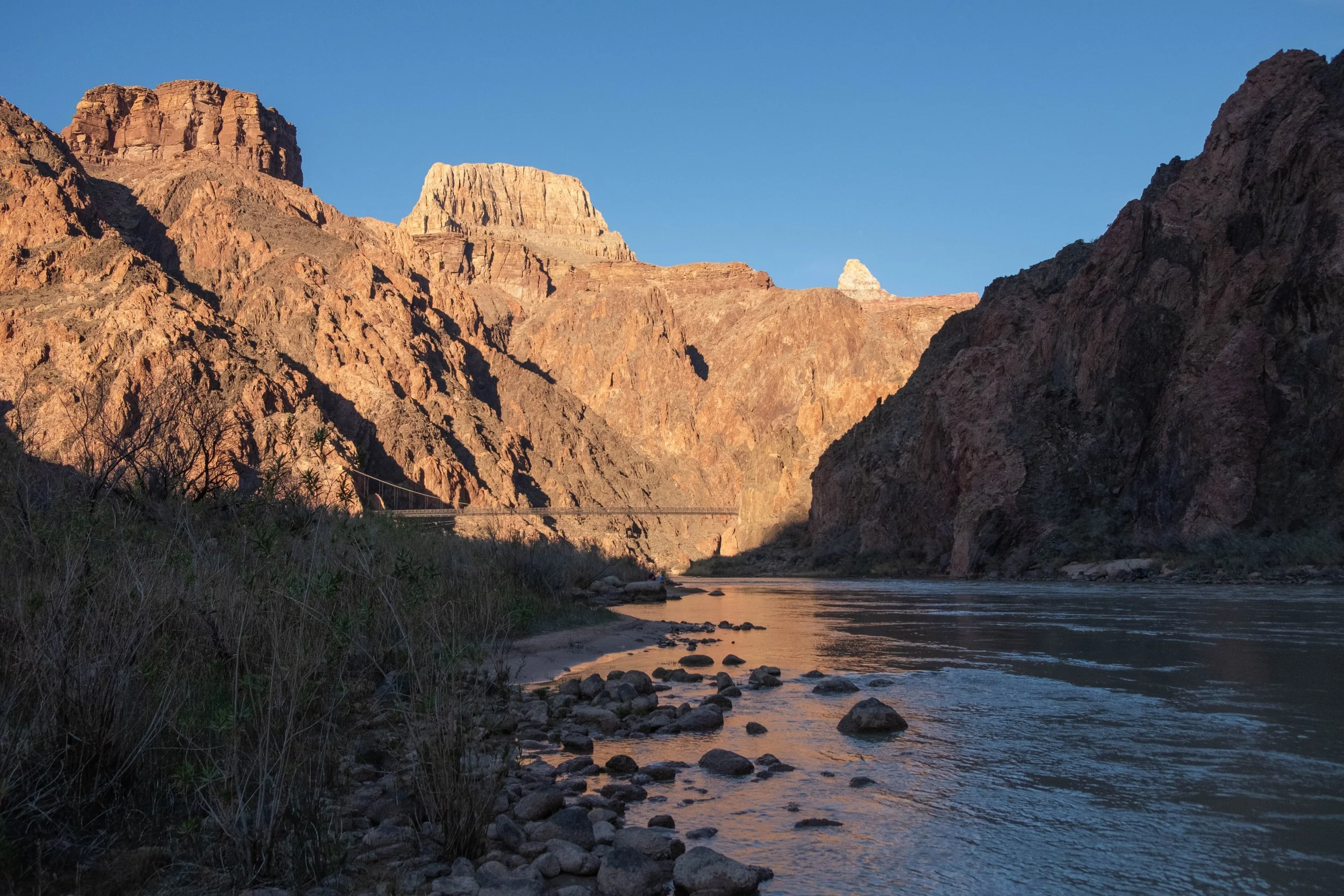
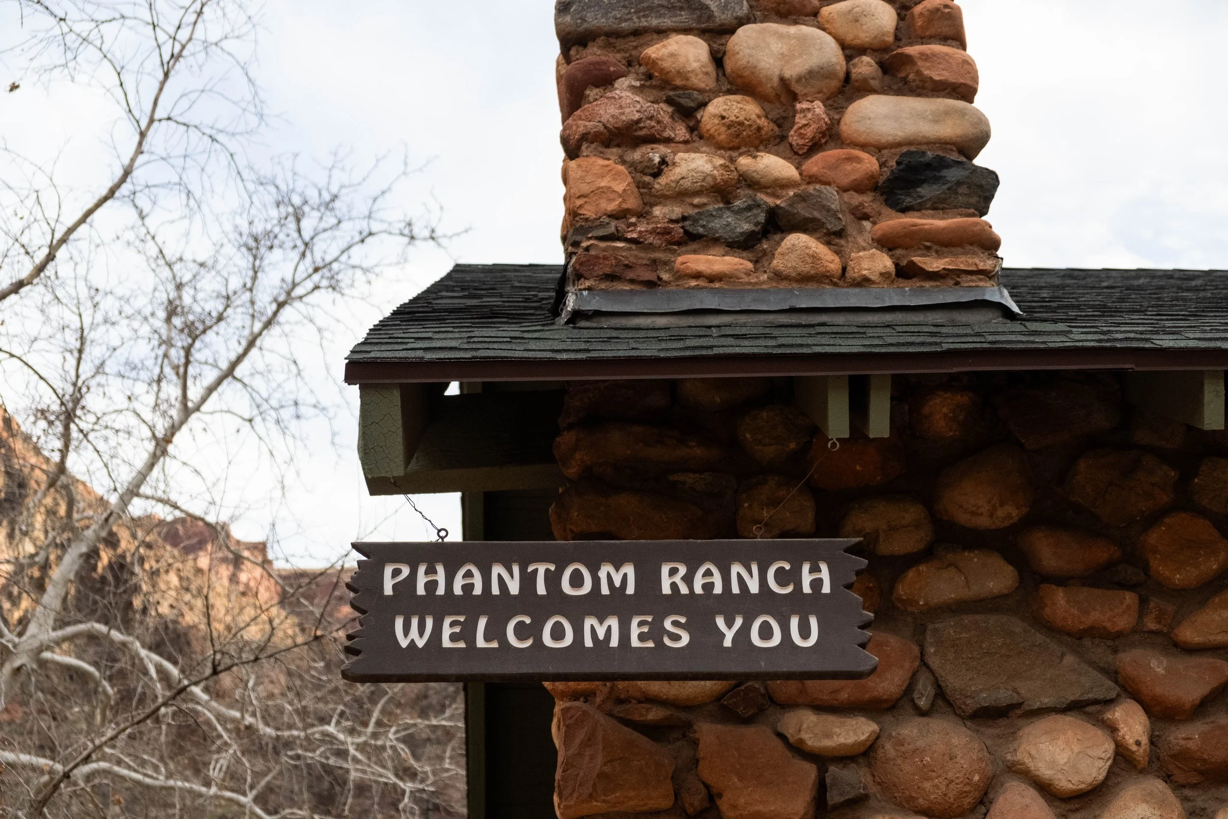
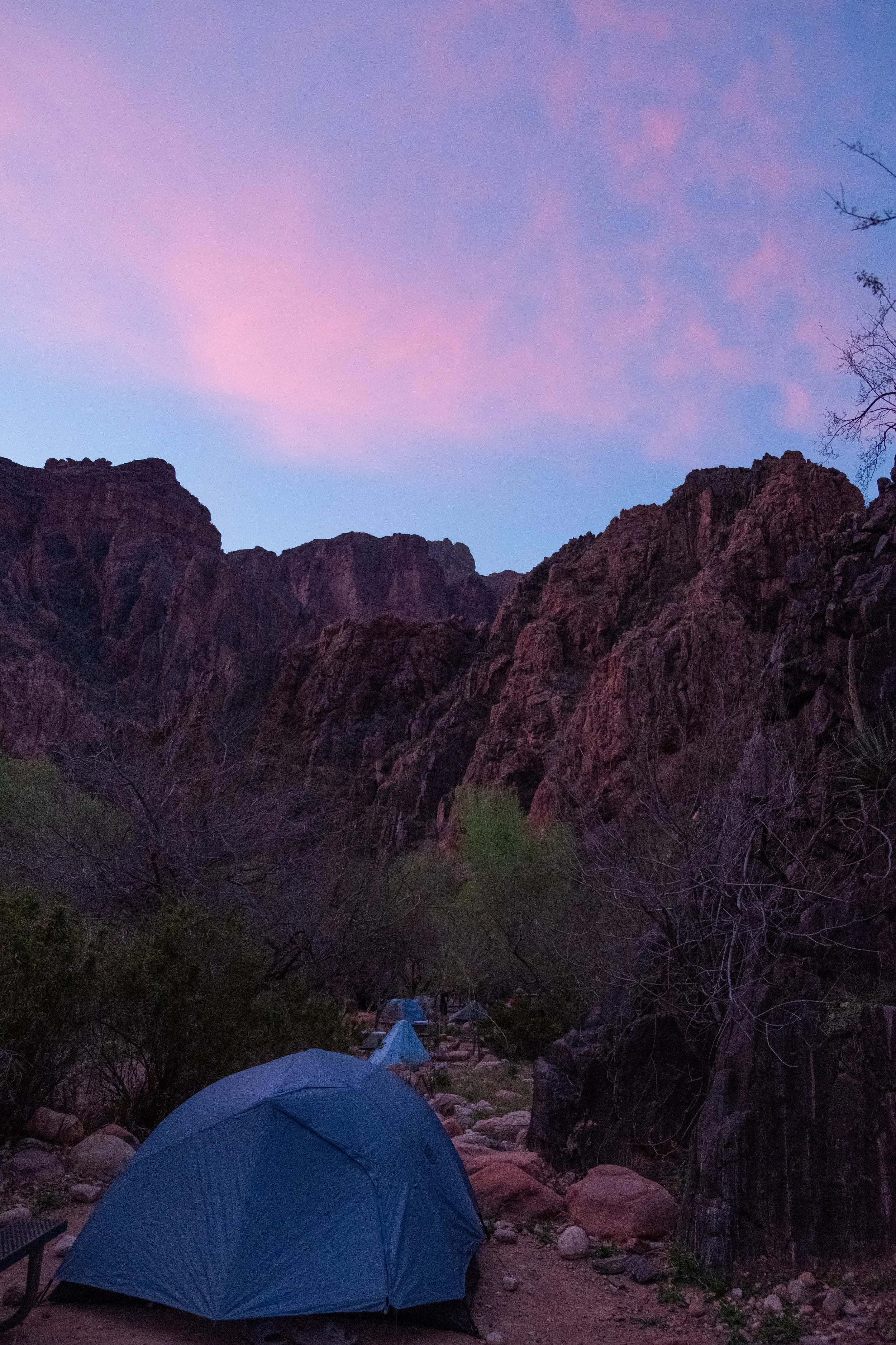
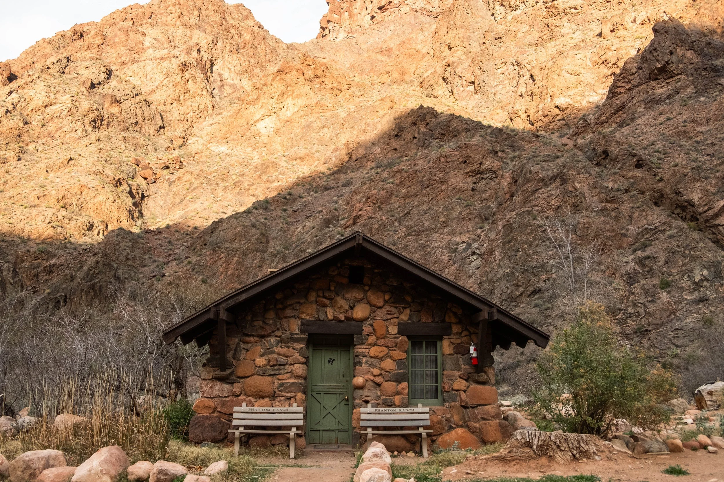
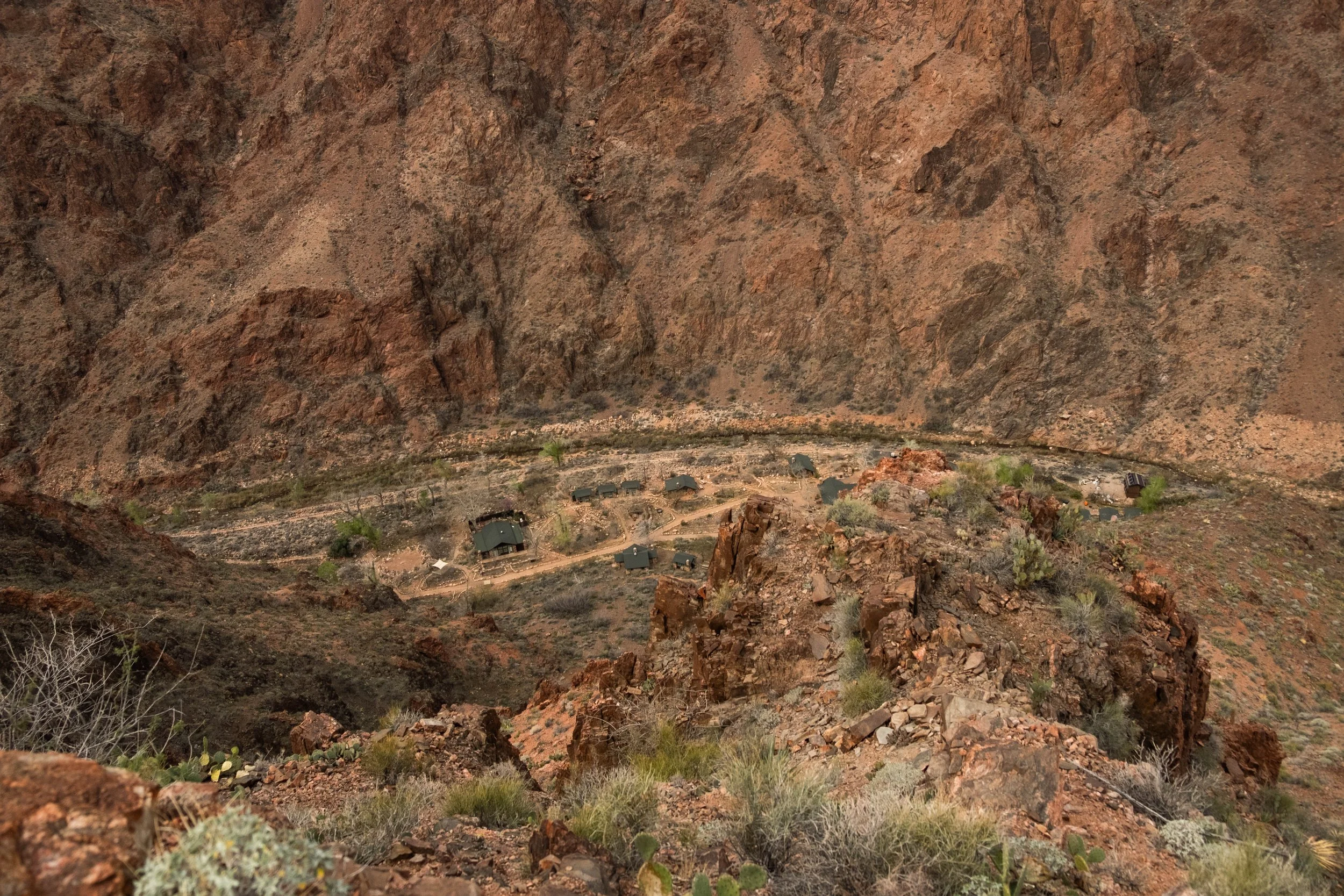
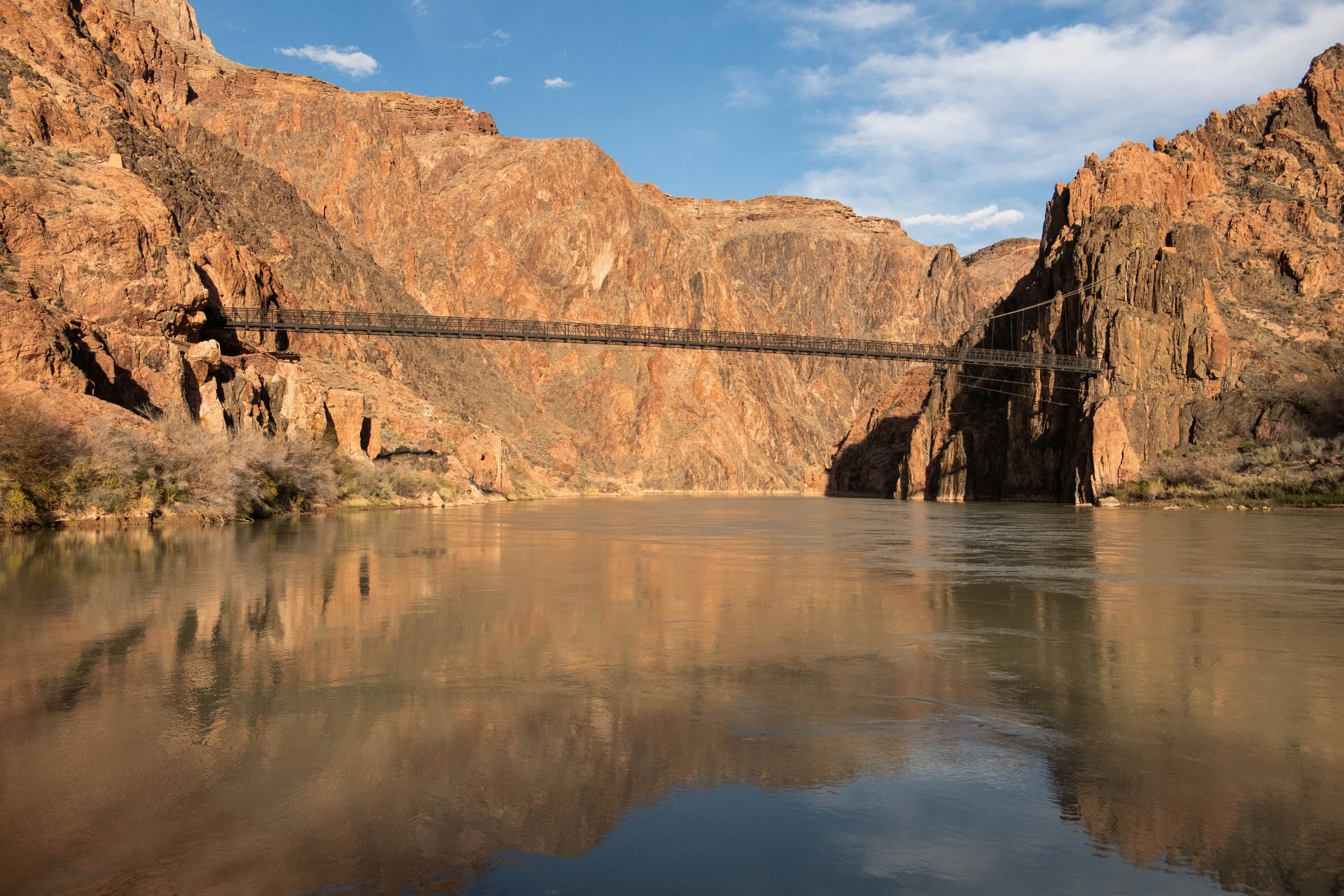
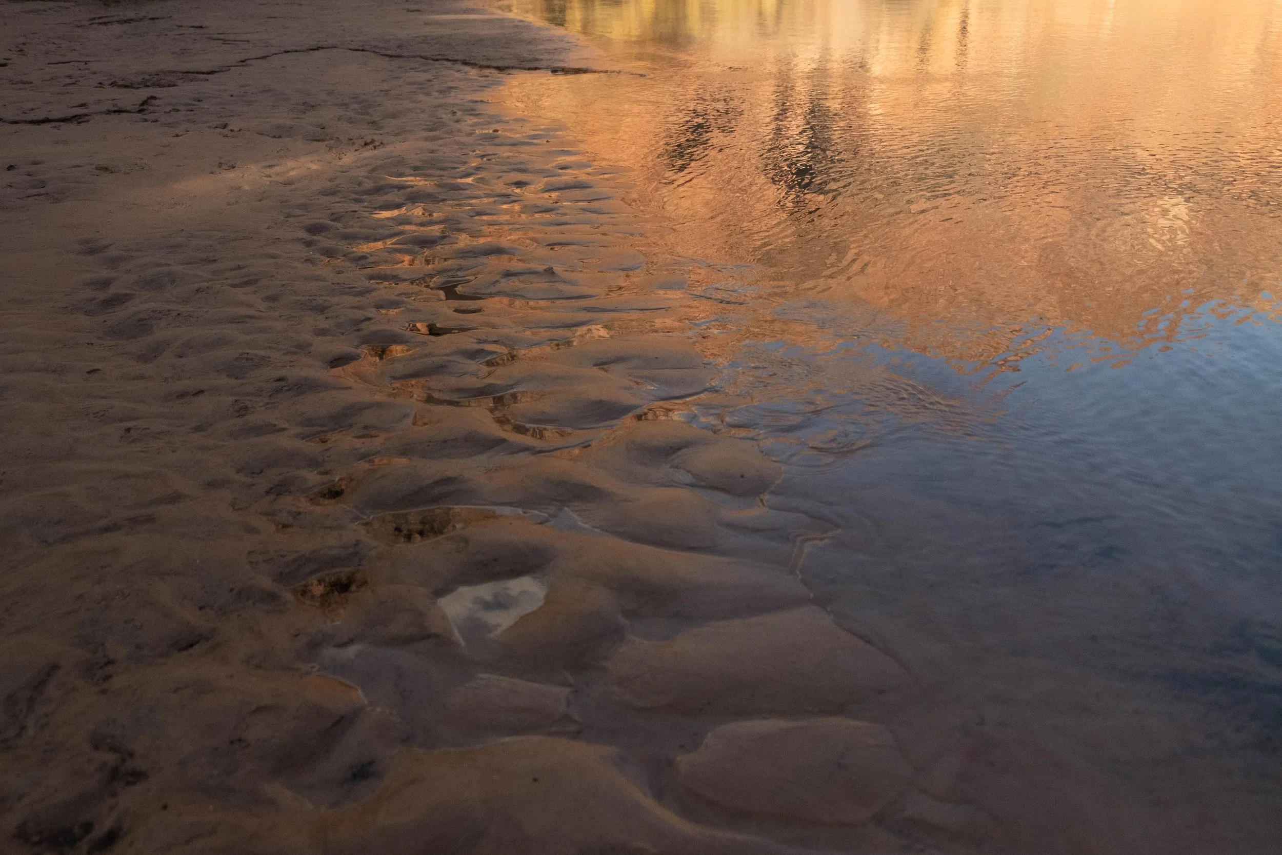
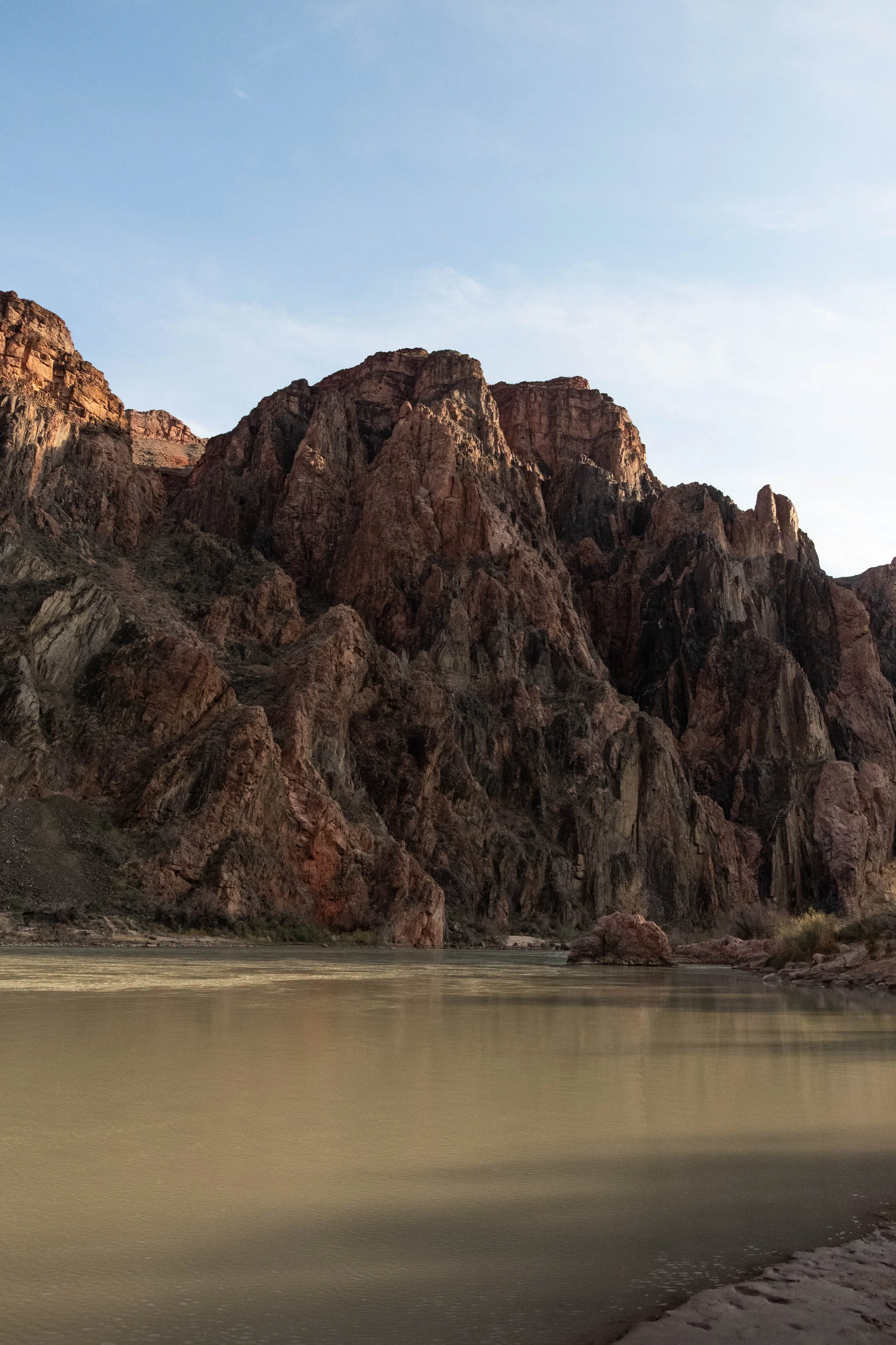
Once we crossed the Black Bridge to the other side of the Colorado, we soon came the narrow corridor in the canyon where our campground was nestled. It was surprisingly lush feeling after the dusty miles we’d just traversed. Cottonwoods lined Bright Angel Creek, their leaves a brilliant spring green that contrasted with the rust-colored canyon walls around us. We were some of the first hikers down for the day, so had our pick of (most of) the campsites. We landed on #23 which offered an ideal mixture of afternoon shade, access to the creek, and proximity to the restroom. Before long our food was stored in the provided metal box, our backpacks were hanging off the ground (to protect from mice, which we were informed would chew through anything to find food or other scented items), our tent was pitched, and our legs were plunged into the ice cold creek to begin treatment of our soon-to-be very, very sore calves.
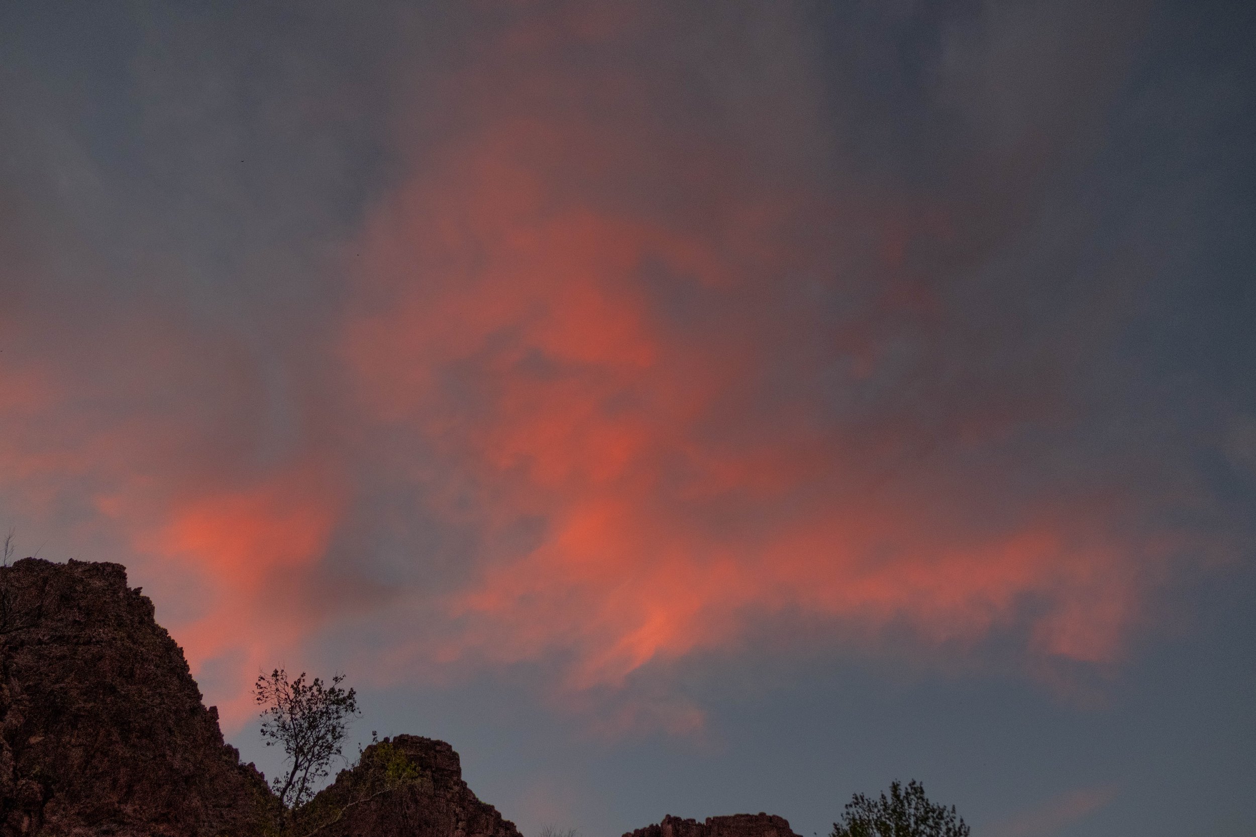
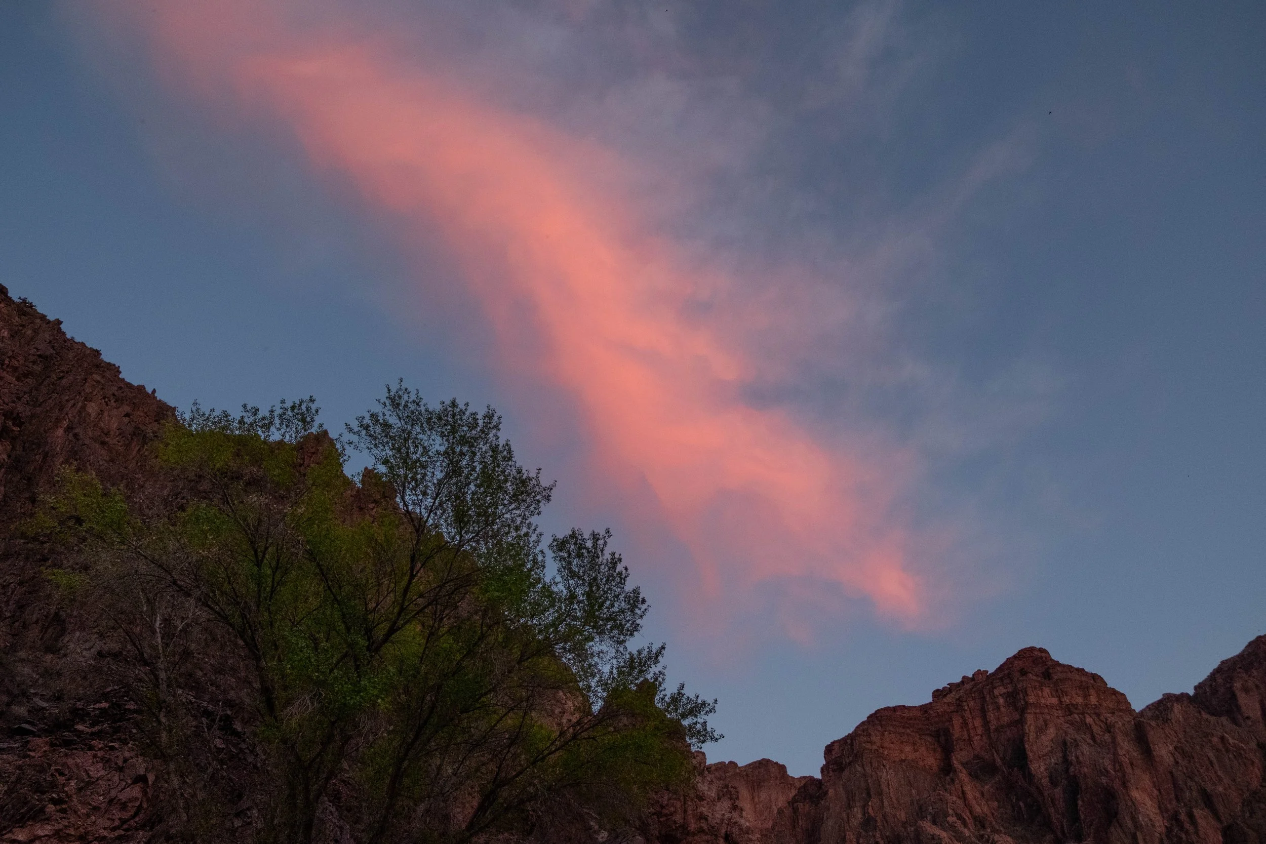
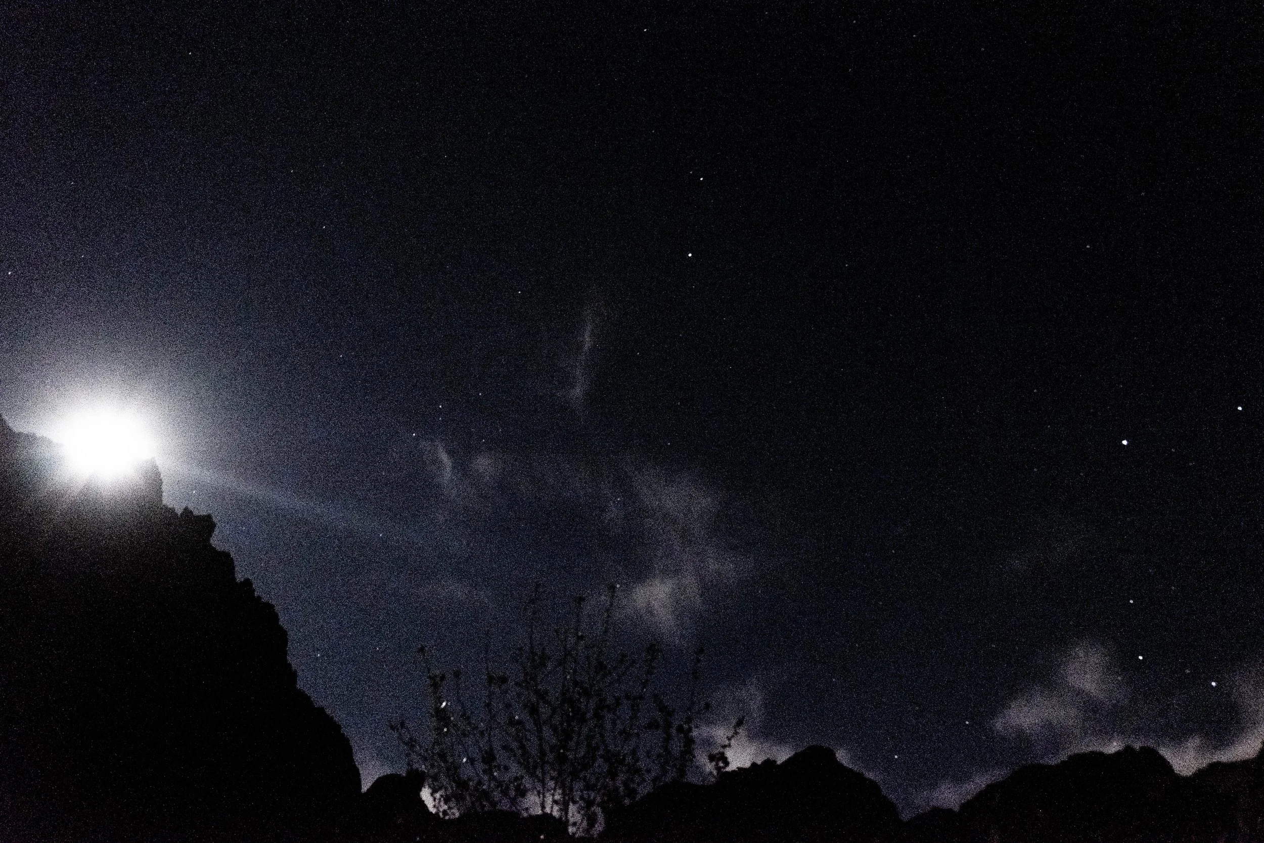
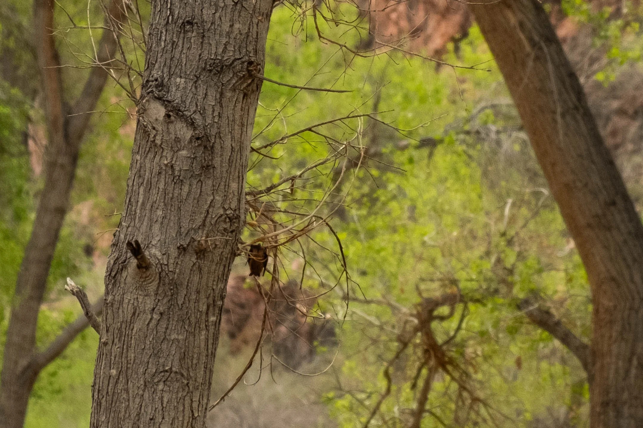
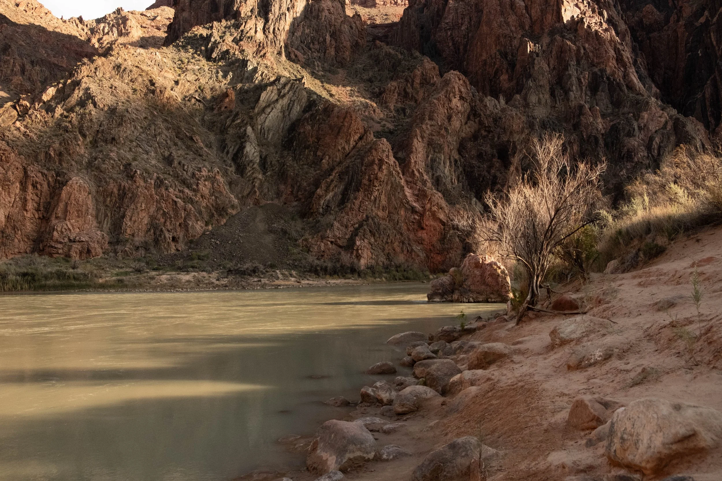
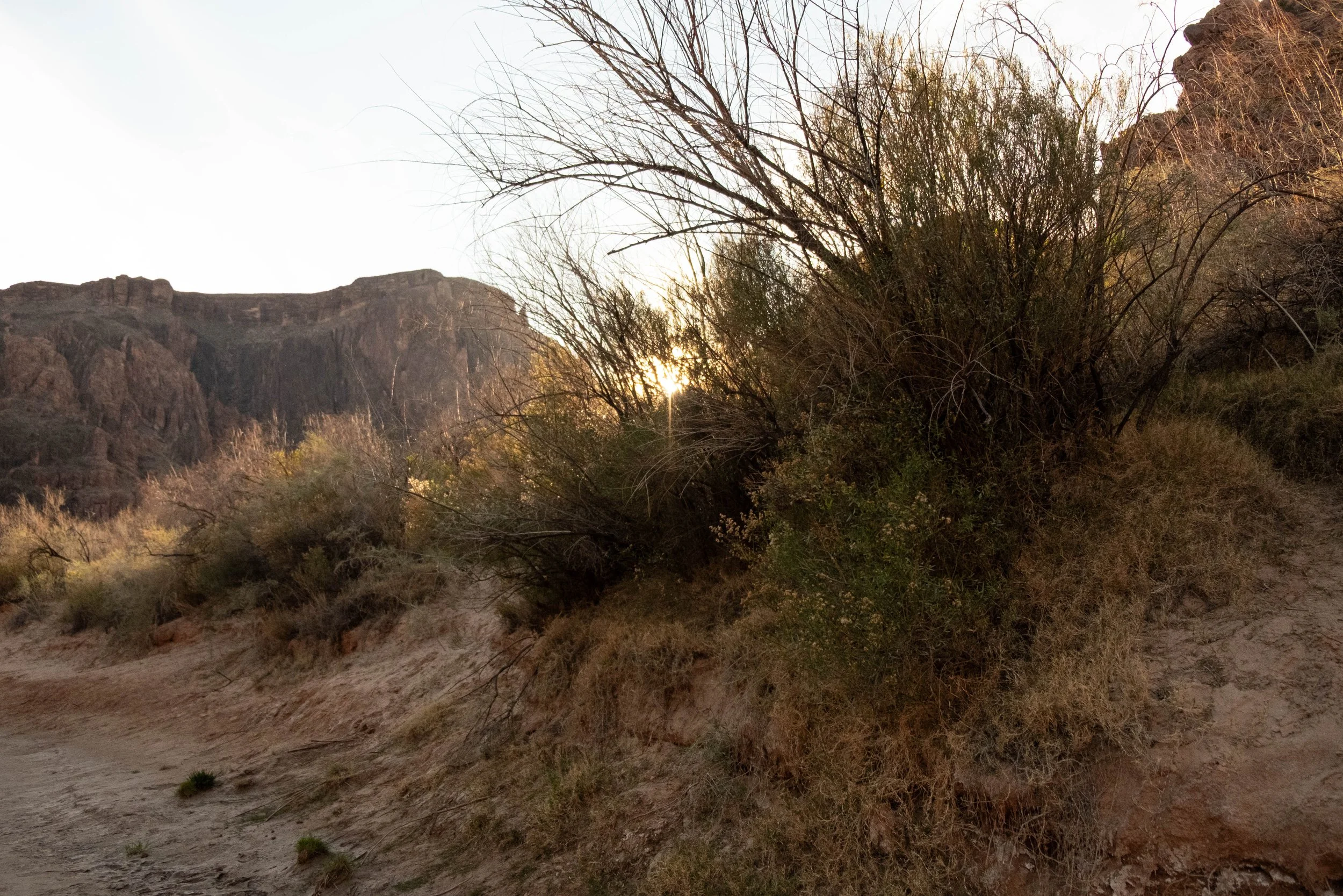
The rest of the day was quiet. We watched more backpackers arrive and choose their sites; explored Phantom Ranch; and meandered down to the banks of the Colorado at sunset. As dusk fell, Canyon Bats emerged and filled the sky above us, careening in wild patterns as they hunted for insects around us. The waxing full moon rose and cast a silver spotlight on the canyon walls above us, almost eliminating our need for headlamps as we walked to the restroom to brush our teeth. We were both fast asleep in our tent not long after 8pm.
Day 2 | In the Canyon: Clear Creek Trail
Distance: 5.5 miles | Elevation gain/loss: ±1,200 ft
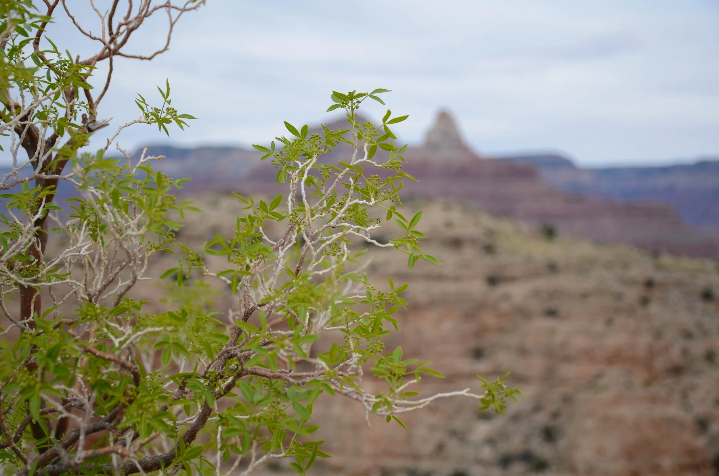
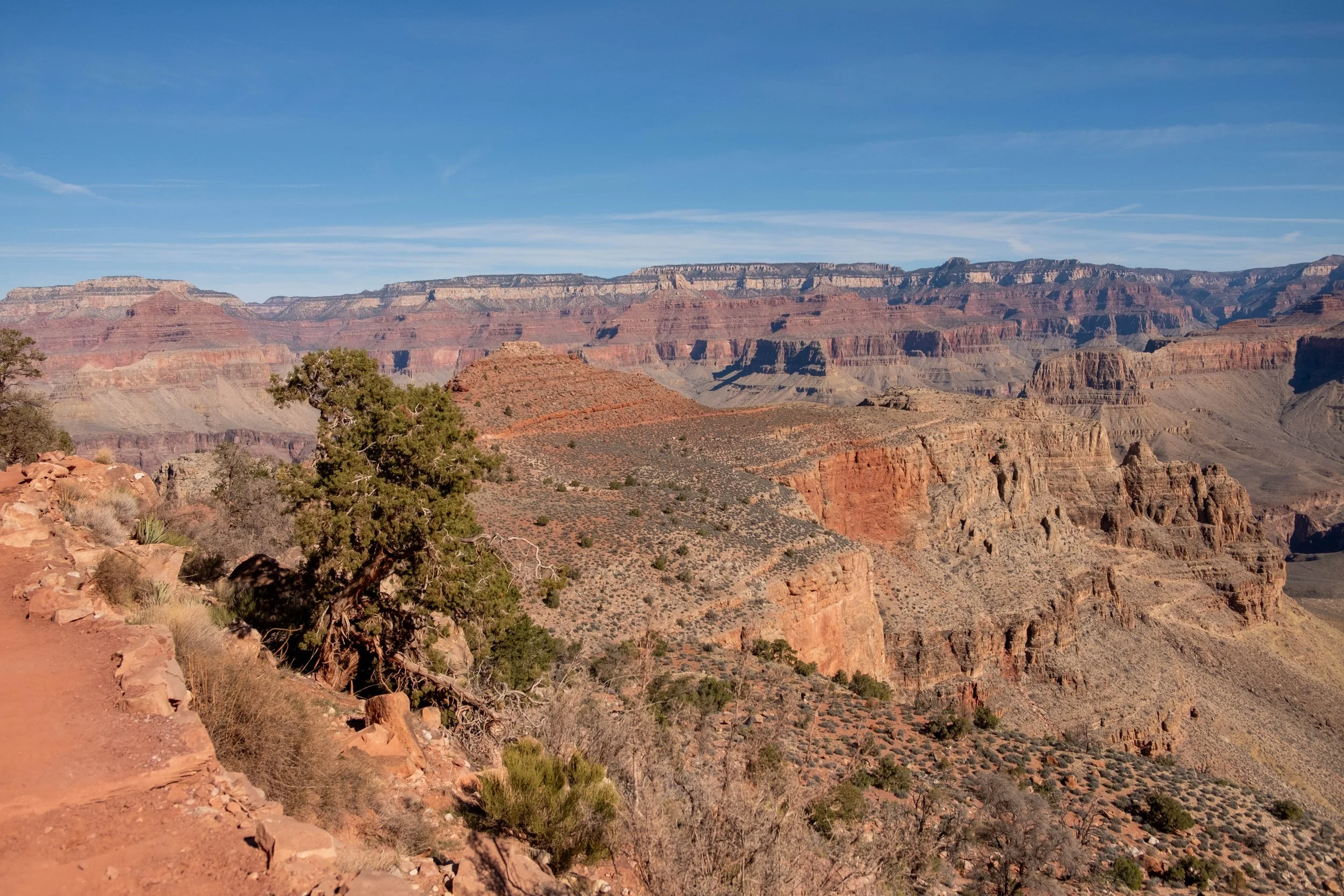
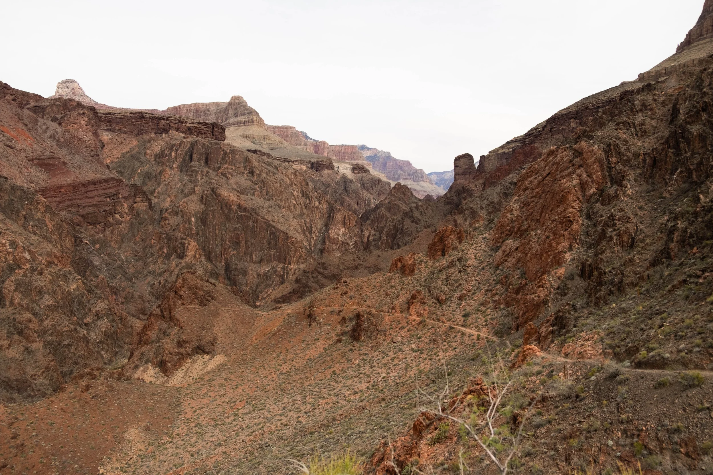
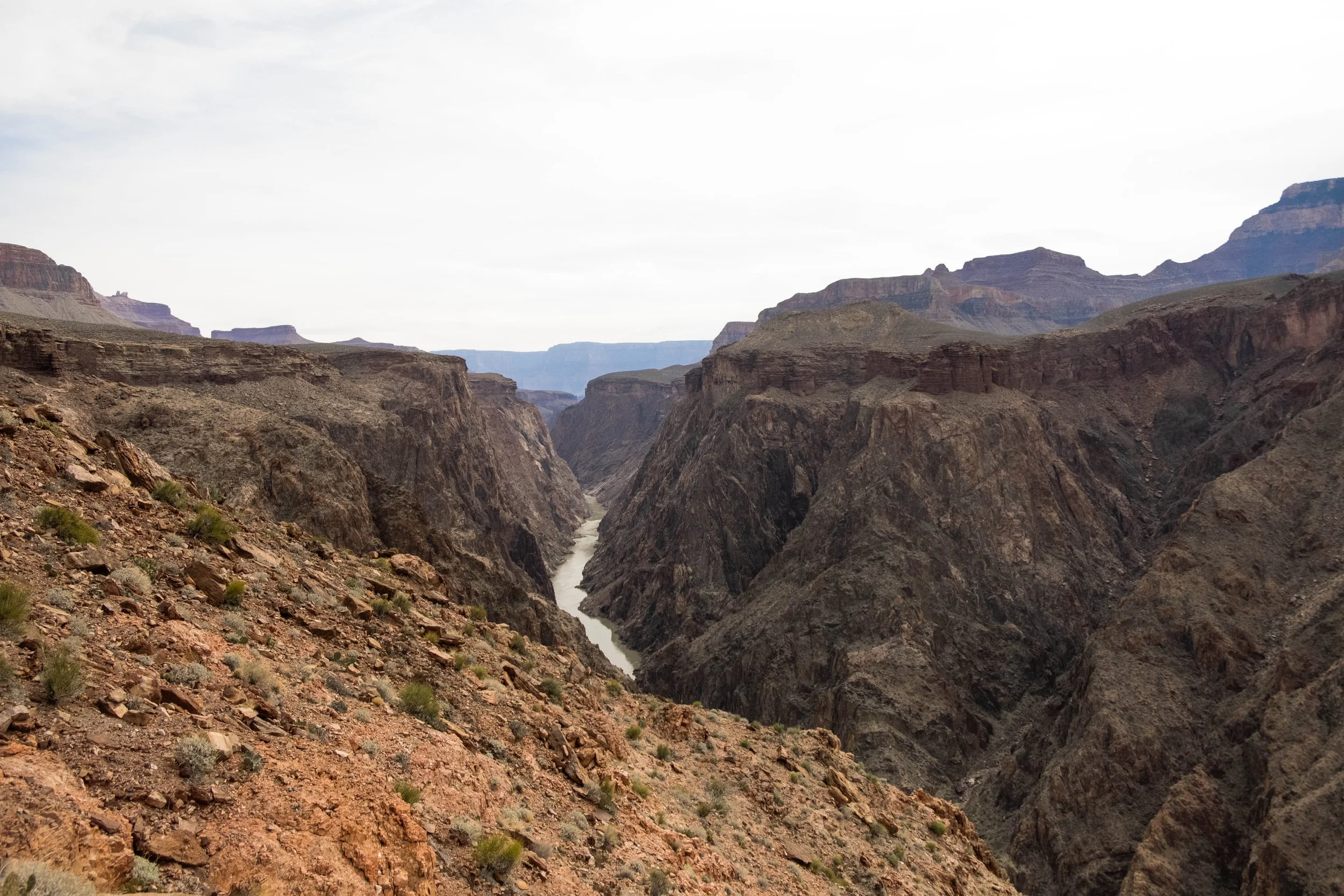
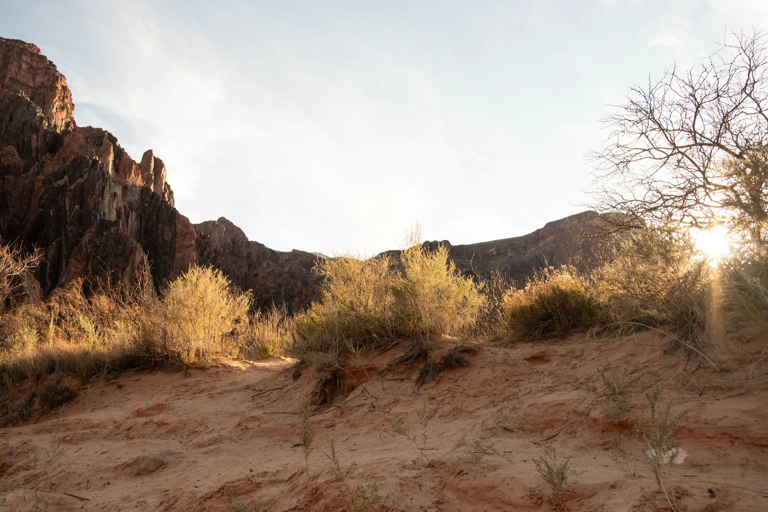
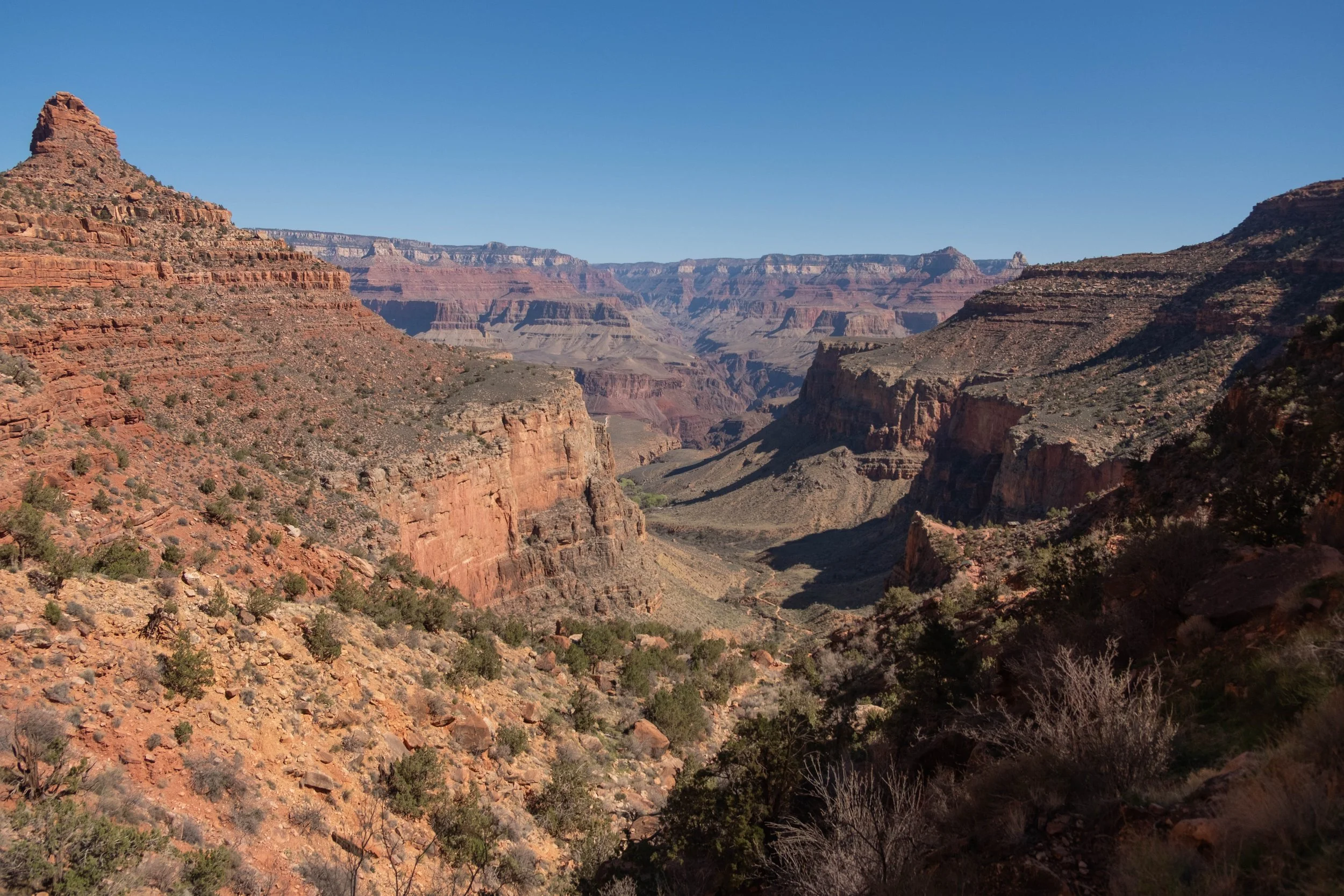
My one disappointment on this trip is that we weren’t able to do the classic Rim-to-Rim hike due to an ongoing closure of the North Kaibab Trail after the Dragon Bravo fire in 2025. The Rim-to-River (going down one South Rim trail and ascending the other) we’d planned instead isn’t that dissimilar in terms of mileage, but it did feel we were missing out on a unique part of the park since the North Rim is higher in elevation than the South, is much quieter and less visited, and would have allowed us to see the full Canyon Corridor. That said, since the North Kaibab was off limits, we opted to spend part of our day hiking the other trail that snakes east along a high plateau over the river: Clear Creek. This trail stretches for close to 10 miles one way, so we only did a section of it, but it was nevertheless worthwhile. After a steep initial climb, we were rewarded with a bird’s eye view of Phantom Ranch, the Colorado River, and the zigzagging line of the South Kaibab we’d descended the day before. We stayed up there for a while, hiking to different lookouts before turning around to head back.
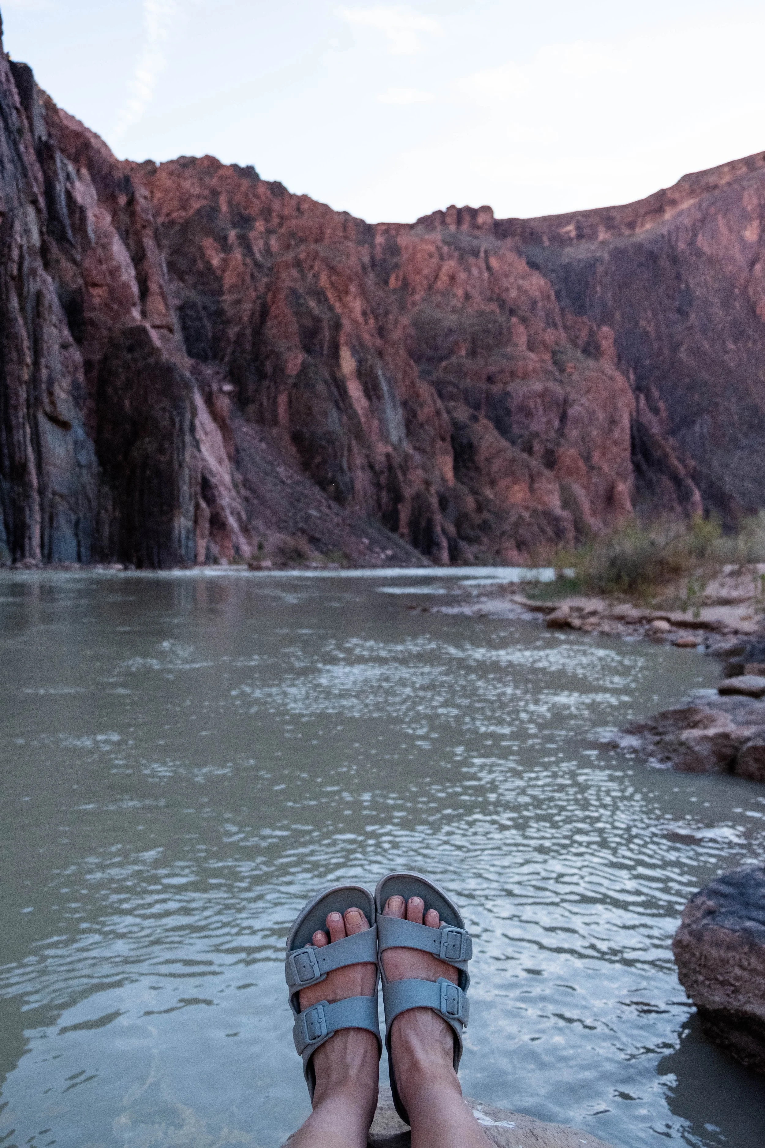
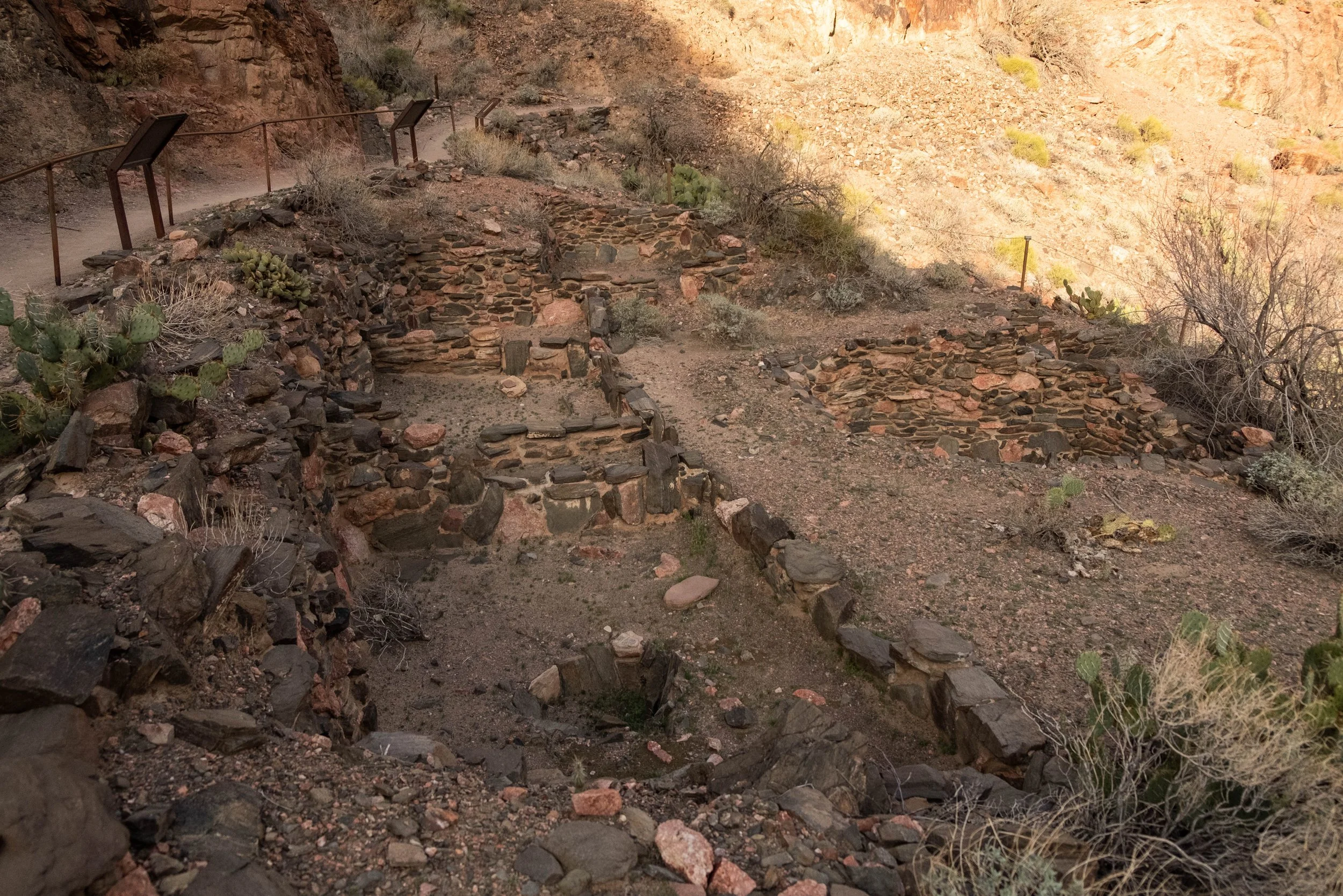
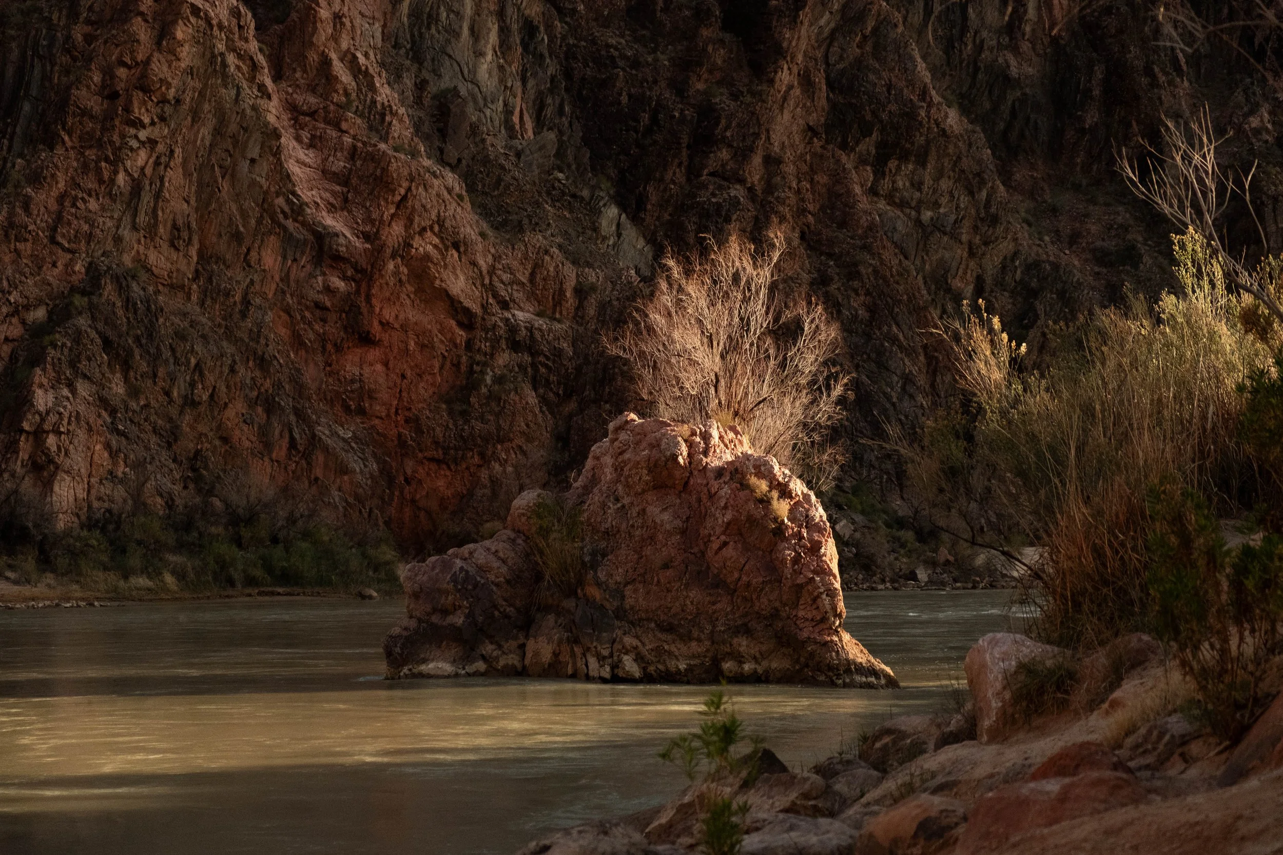
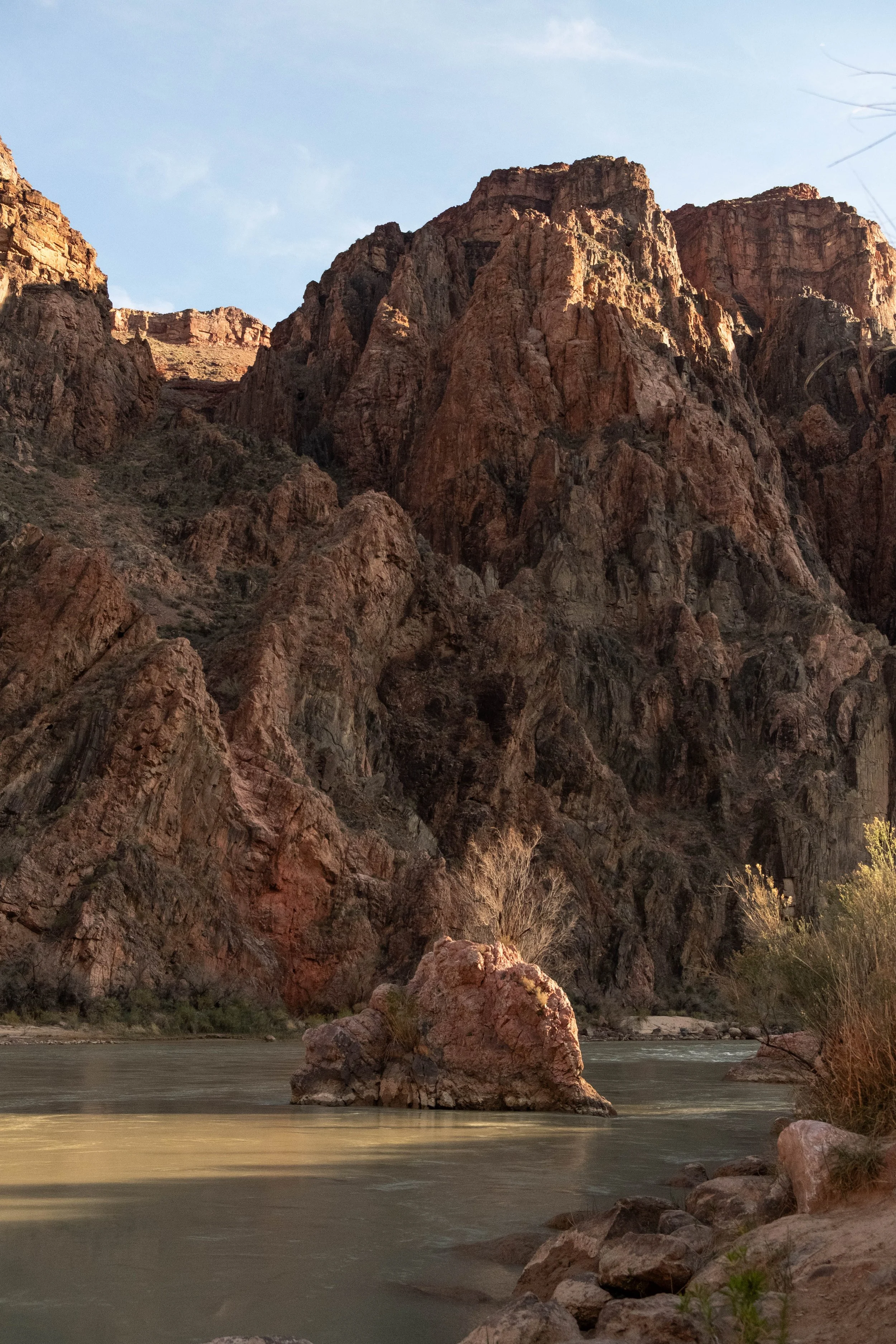
The rest of our afternoon was spent in the Phantom Ranch Canteen: Playing cribbage, chatting with a few other hikers and staff, and writing postcards which would be mailed by mule to our friends’ kids. Before dinner, we made our way back to the river to visit the nearby pueblo ruins, remnants of a Puebloan family that lived here around A.D. 1050. We quietly paid our respects as we drank in the views of the river and the ancient rock walls and the sunlight casting everything in a soft yellow haze. I wondered who had lived in these rooms, who had woken up to this view, what stories their lives held. It was a profound feeling: To stand beside a thousand-year-old human settlement while staring at billion-year-old stone that has been exposed by the ever-present flow of the very river we were now watching. We felt our own brevity. We felt the swift flow of our own lives, so like the shimmering green waters of the Colorado.
We sat there quietly on the sandy banks of the river until the sunlight had faded and our stomachs rumbled for dinner.
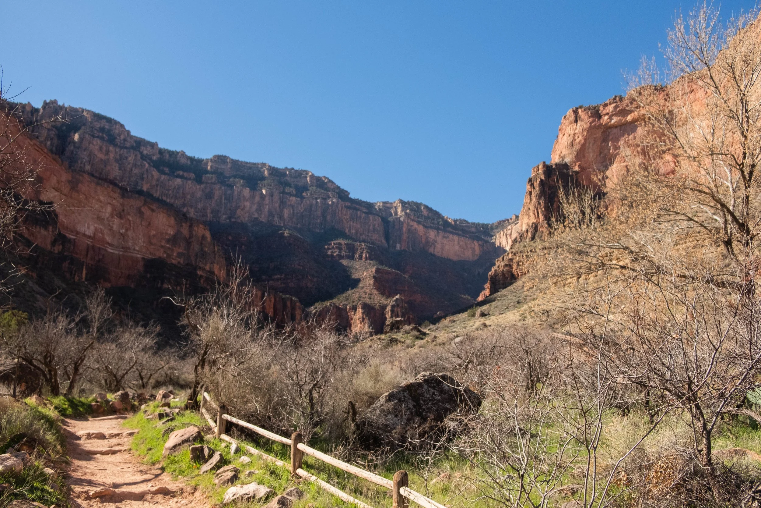
Day 3 | Ascent: Bright Angel Campground to South Rim via South Kaibab, Tonto, and Bright Angel Trails
Distance: 12 miles | Elevation gain: +4,950 ft
Wanting to hike in the cool of the day for as long as we could, we woke at 5:30am to break down our camp, eat breakfast, drink a cup of coffee, and set out on the trail. We were hiking back up the South Kaibab by 6:25am, just as the sky was beginning to lighten.
At this point, my calves were more sore than I think they’d ever been in my life. Although we’ve previously descended more actual feet and mileage in a single day (looking at you, Kilimanjaro), the hike down the South Kaibab was the first time we’d done something so extreme with very little hiking training beforehand. I was coming off a December/January where health issues had kept me from very much exercise, and J was coming off a stressful February at work that had occupied most of his free time. Between all that, our calves were shot from the downhill. So I found myself actually looking forward to the challenge of the ascent, desperate to get some opposing muscles involved to hopefully flush out some lactic acid.
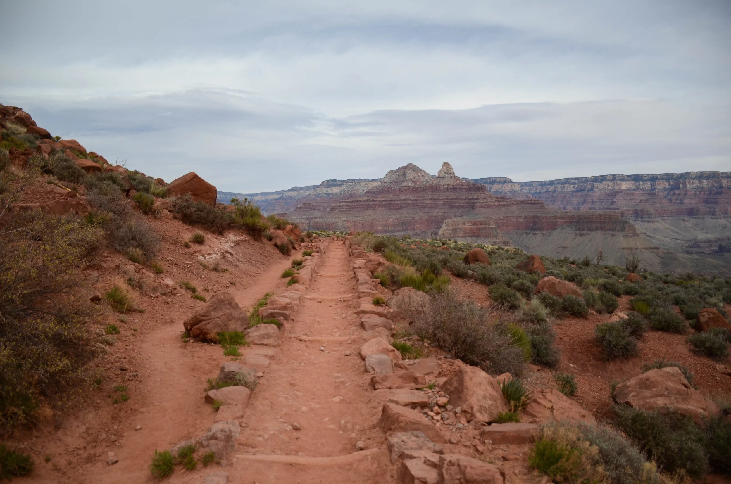
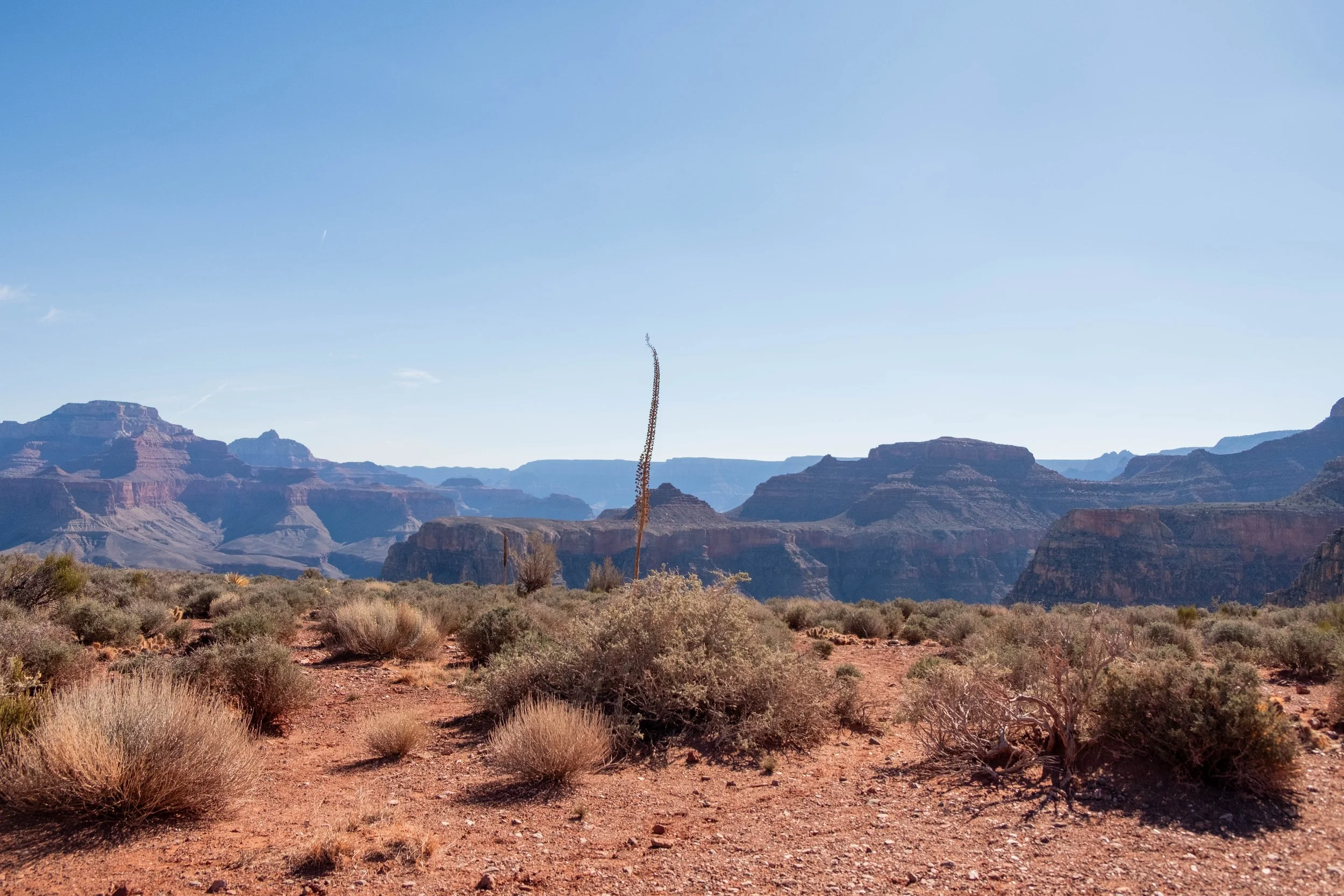
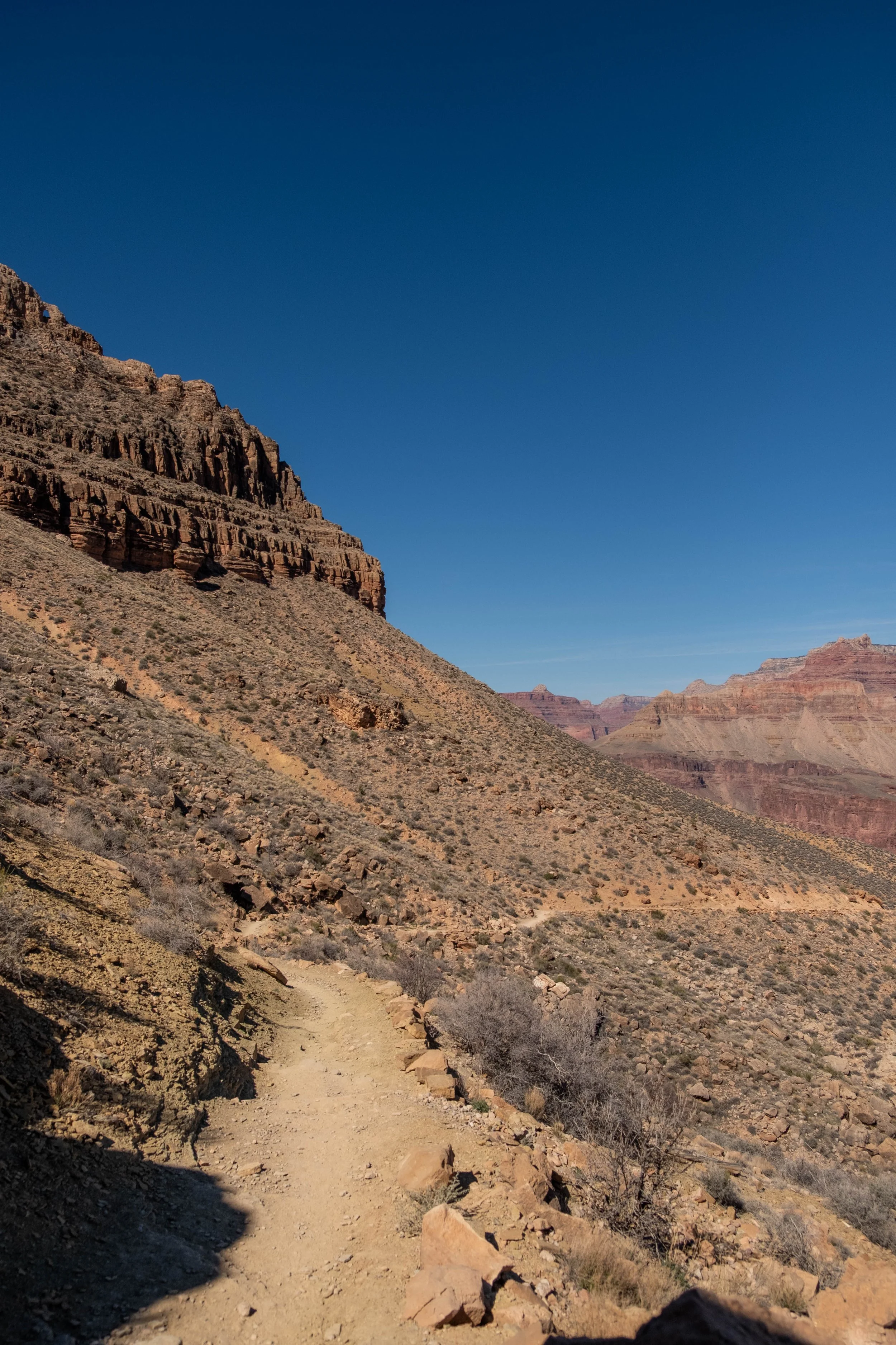
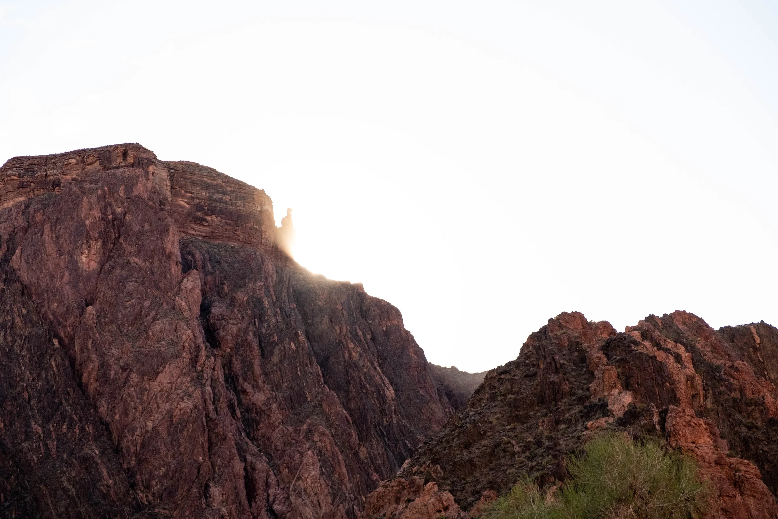
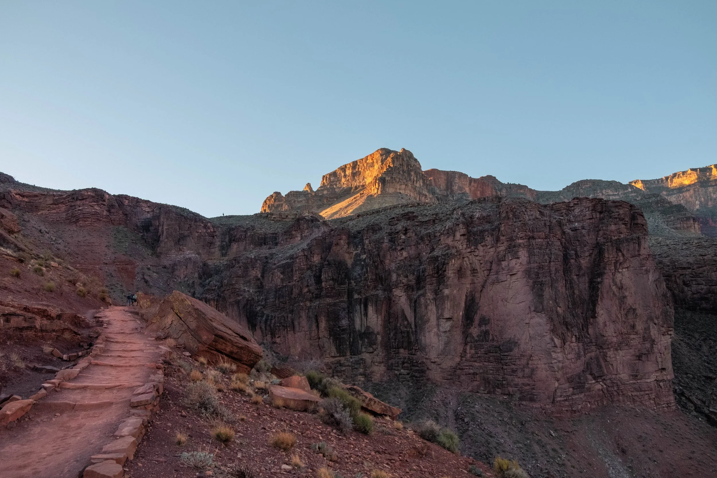
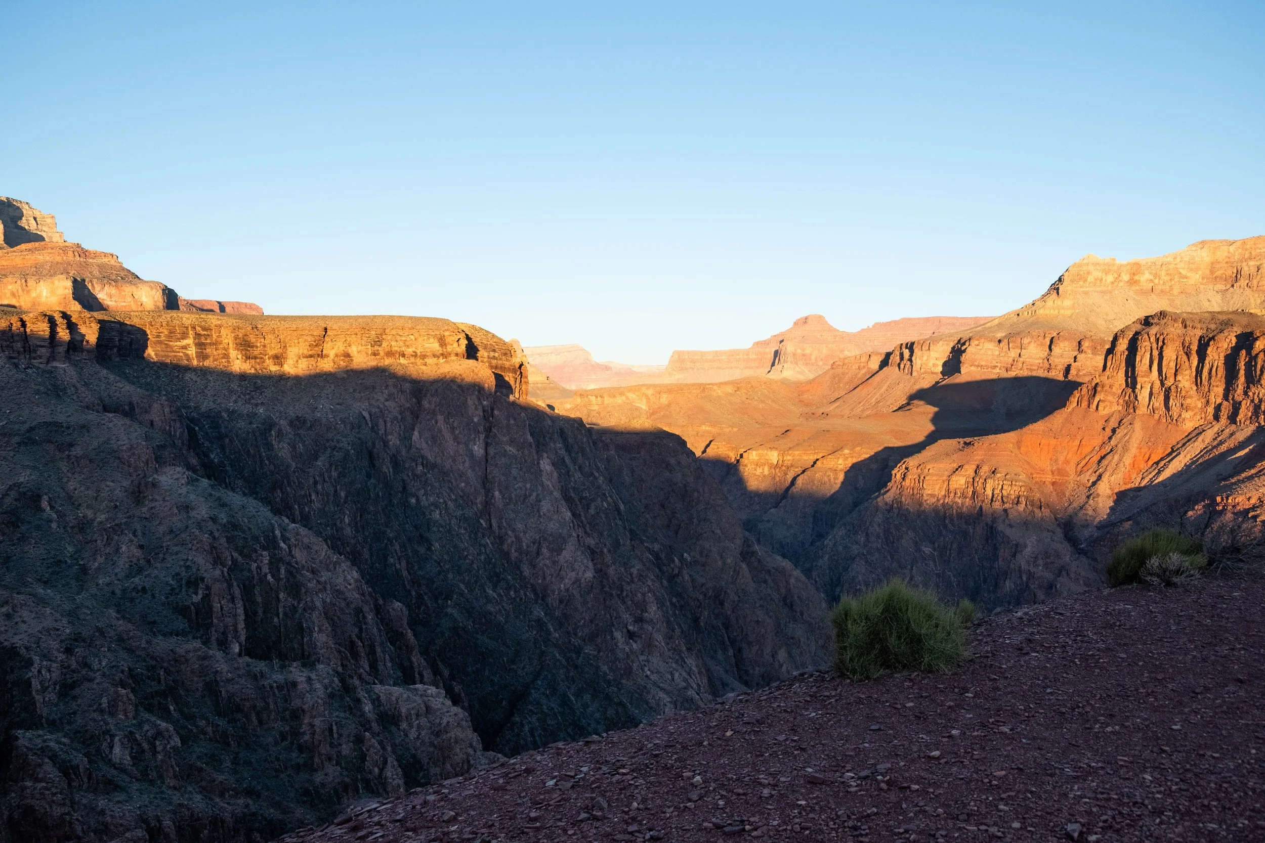
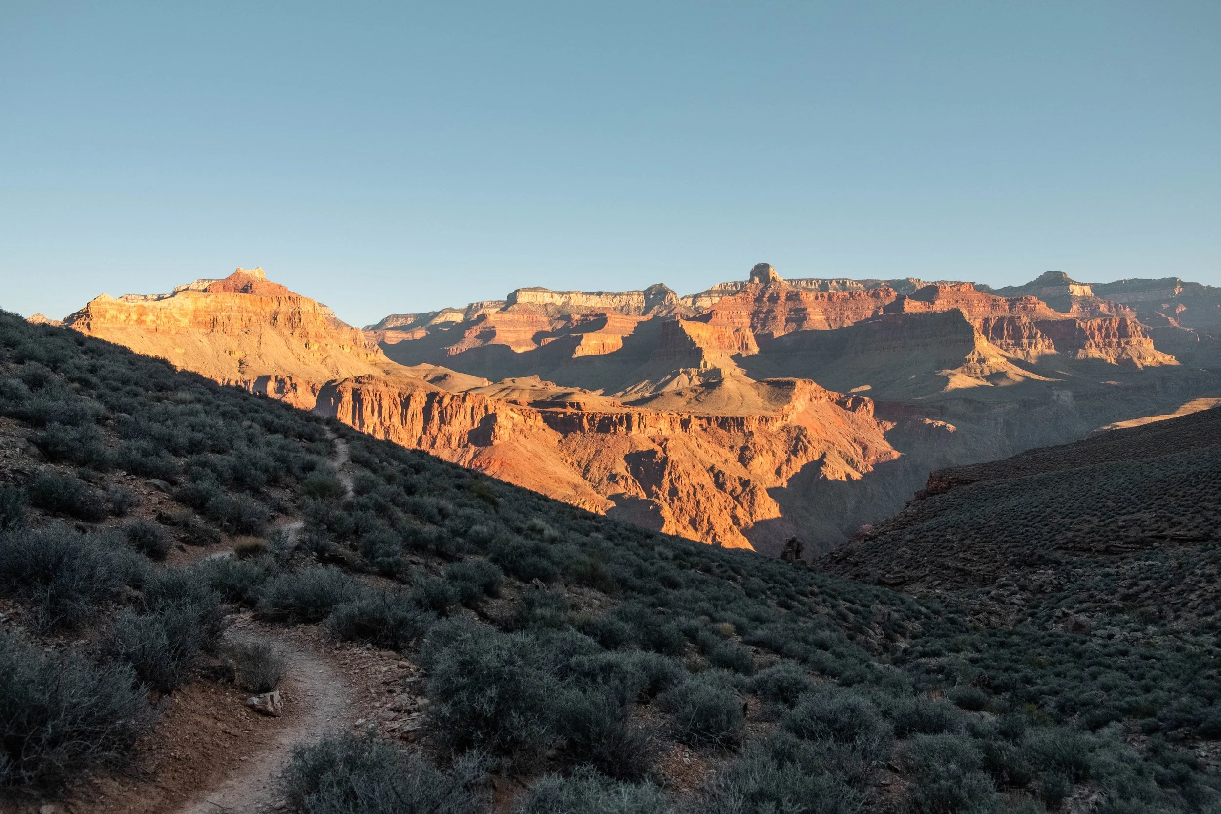
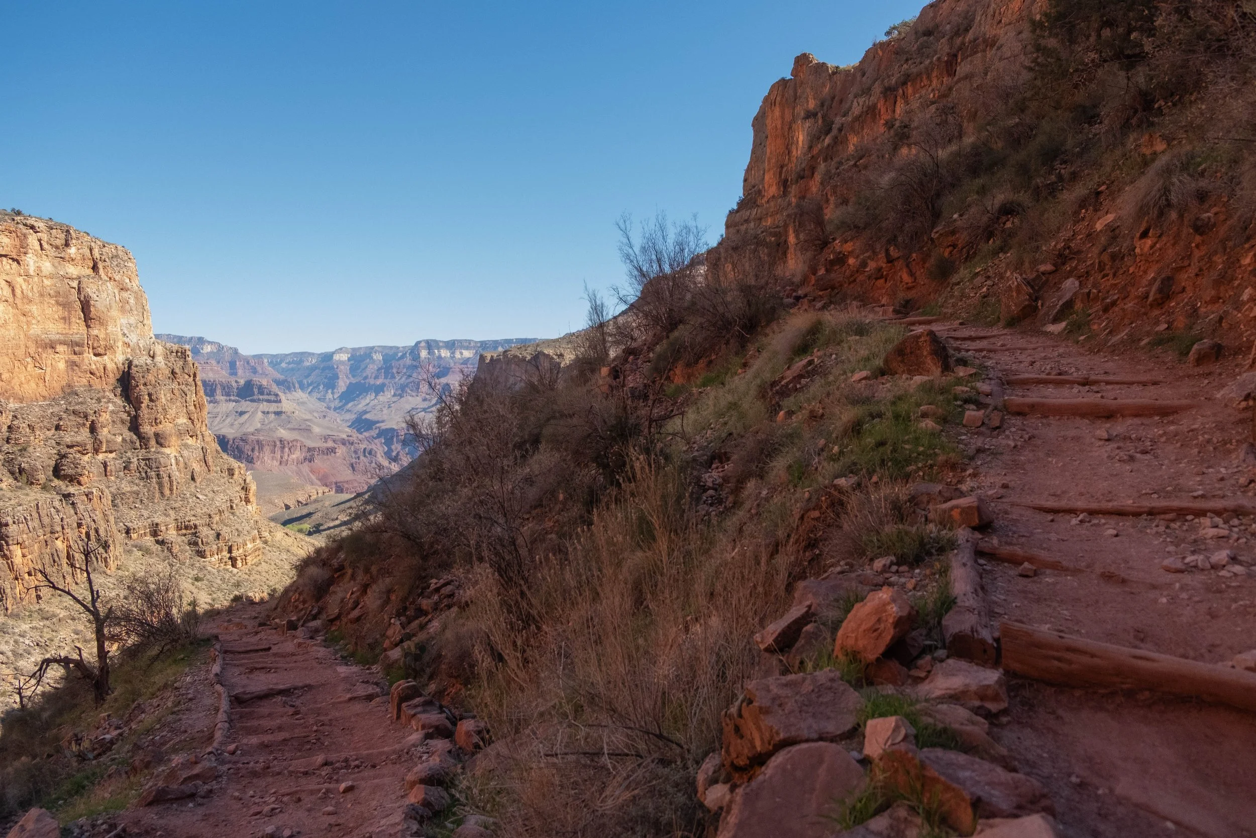
We powered our way up to The Tipoff, where we stopped for a quick snack before strapping our packs back on and leaving the South Kaibab for the West Tonto Trail. This ended up being one of our favorite sections of the day: Flat, fast, shaded, and absolutely beautiful views as we traversed the plateau toward where it intersected with Bright Angel Trail. The fiery morning light lit up the tips of the canyon over us. We saw almost no one along this stretch, save a park ranger sipping coffee (who passed us with a nod and laconic greeting: “hell of a morning commute”) and a group of backpackers on their way to Phantom Ranch after a night at Havasupai Gardens.
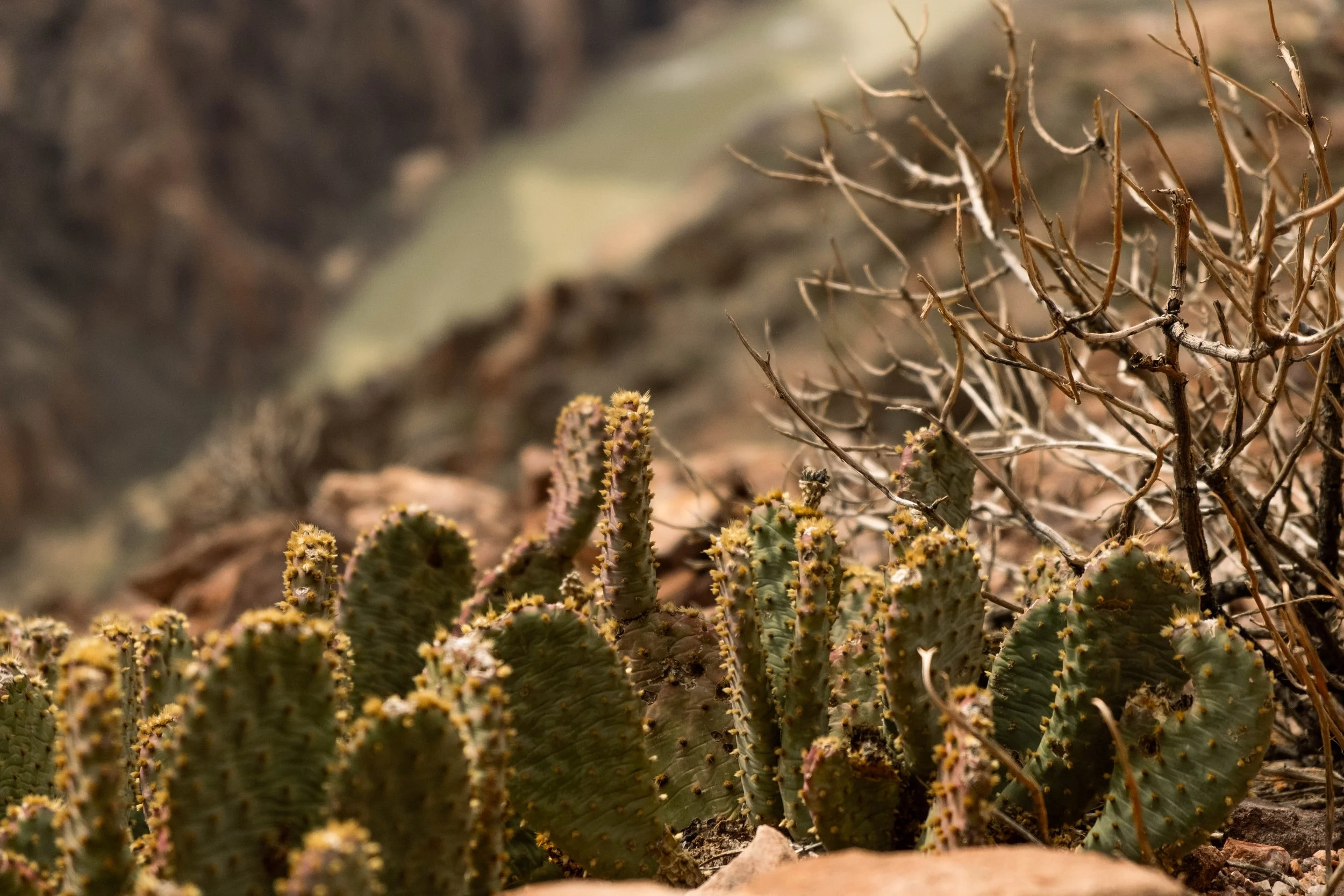
Once we reached Bright Angel Trail, we turned left and stopped at the recently renamed Havasupai Gardens (known as Ha’Gyoh to the Havasupai people; Havasupai means “people of the blue-green waters”) This is a true oasis in the canyon, a lush spring-fed haven filled with dense cottonwoods, bright green grasses, and thick vegetation, protected on three sides by tall canyon walls. Its beauty belies the legacy of violent forced displacement of the Havasupai people by the National Park Service. The last family to be removed was a mere 98 years ago: The Burro-Tilousi family was quite literally run out of Havasupai Gardens by two NPS rangers in 1928. Heartbreaking testimony chronicles Billy Burro-Tilousi’s tears as he stood on the rim of the canyon and wept over the loss of his home. The reasons for this displacement are rooted in the monetization of “recreation” and nature tourism that so often co-exists with the NPS and in the greater conservation world. Adding insult to injury is the fact that the trail that zigzags up the remaining 4.8 miles and three thousand feet of elevation gain between Havasupai Gardens and the top of the South Rim — the trail we ourselves were about to walk, the trail that the NPS rangers must have used when removing families like the Burro-Tilousis, the trail that enabled tourists like us to first descend into the canyon and see the views that we were drinking in at the moment — was first laid by the Havasupai people. The theft of their genius, their knowledge of the land, and their very home is what led to this national park. And by extension, it is what led to our visit.
It feels impossible — perhaps it is impossible — to right such a deep and profound injustice. Renaming Havasupai Gardens is an amelioration of this wrong, a step toward recognition of the people who farmed and tended the land there, as well as the Havasupai people who still occupy lands around the South Rim and even within the canyon. The effort was led by the Intertribal Centennial Conversations Group and was approved in late 2022, followed by a renaming ceremony in Havasupai Gardens in May 2023. Much has been written about the symbolism and importance of renaming this place; I am grateful for the education I received in this article by Ophelia Watahomigie-Corliss (starting on page 10).
Renaming places in partnership with Indigenous peoples can certainly be merely performative, similar to the critique of the now popular practice of land acknowledgements. For me, however, learning this history and taking time to pause in silence at Havasupai Gardens — recognizing the harms that have been done, offering our own silent apologies, sitting with the discomfort and sorrow and utter wrongness of it all — was an experience that changed the way we moved when we finally set out on the rest of this trail originally laid by the Havasupai. Each footfall was an opportunity for reflection and for penance. We do not have the ability to undo the violence of the past, but we do have the power and responsibility to engage with the present in ways that challenge the status quo. Using these trips to educate ourselves, learn and sit with truer histories, and resist the pull to view these parks simply as recreational playgrounds are one of the small ways J & I attempt to do this in our daily lives.
The last mile of the climb felt hard on our tired legs, but the end was in sight. We emerged at Bright Angel Trailhead feeling like different versions of ourselves, changed by the stories of this place, the ancient rocks we’d slept beside, the rare and precious water, the wind whipped across the plateaus, the vegetation and the mammals and the views.
It was a gift to spend two nights below the rim. We offer deep thanks to the land and to the people who have called this place home since time immemorial.
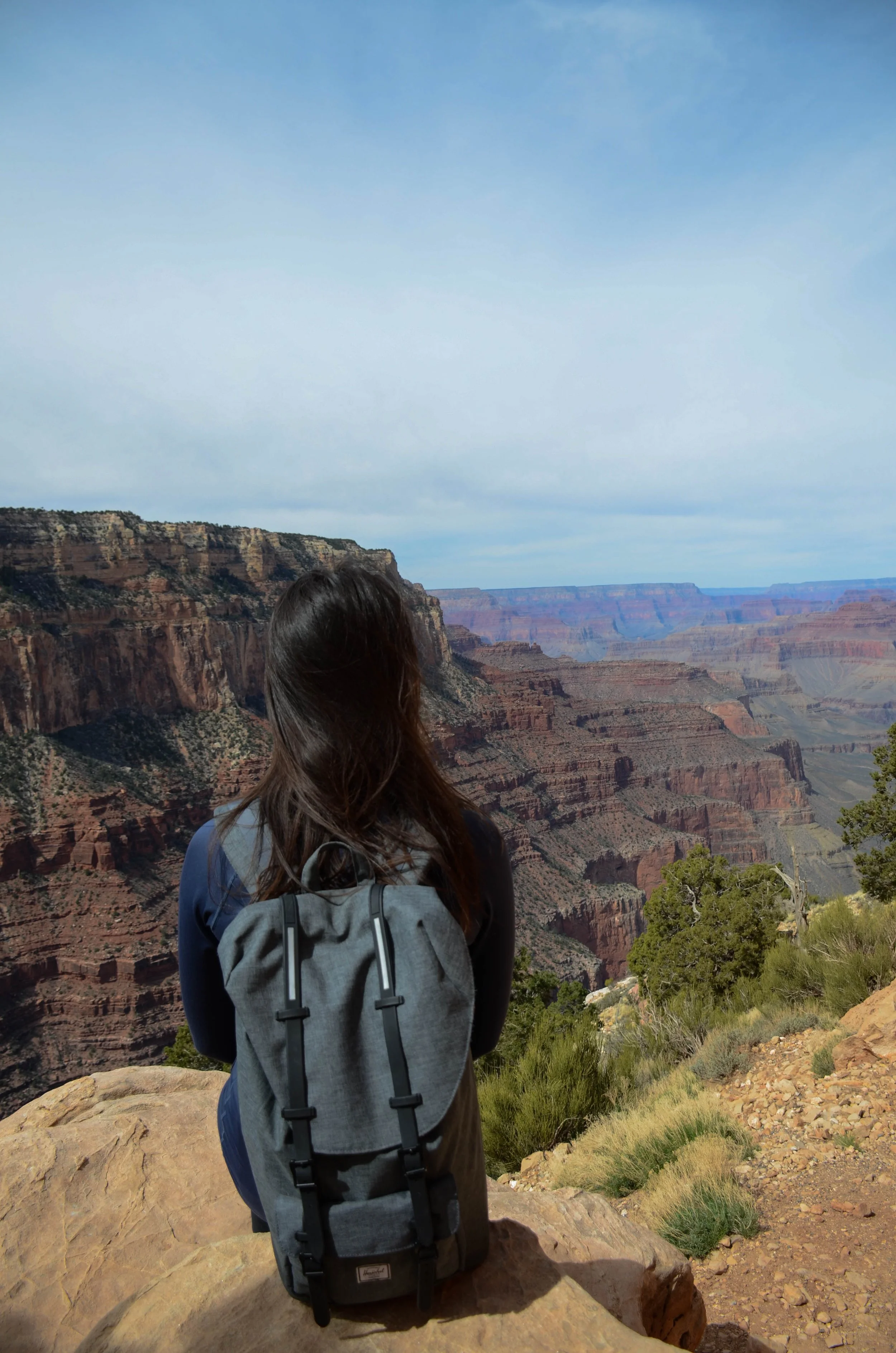
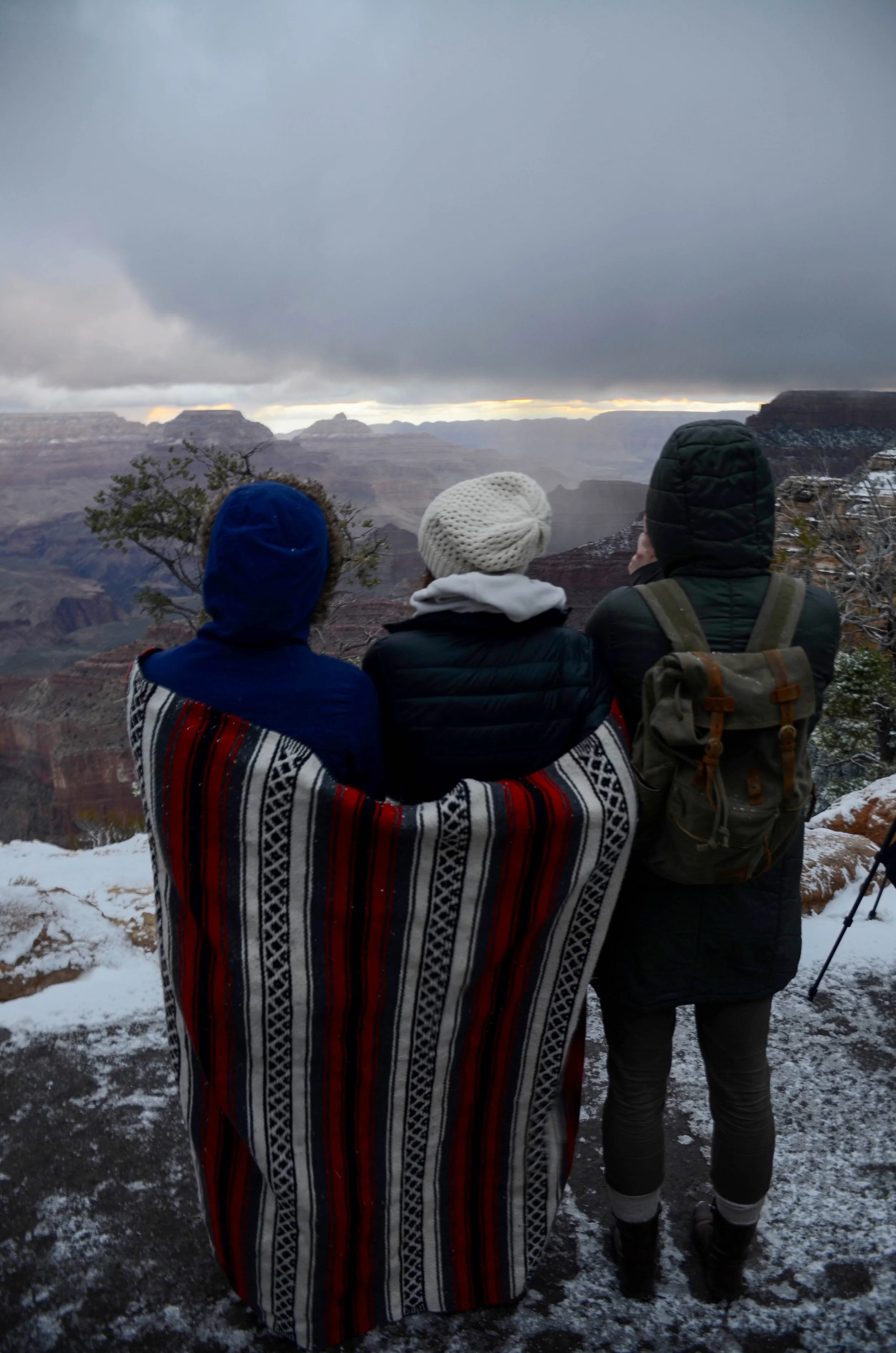
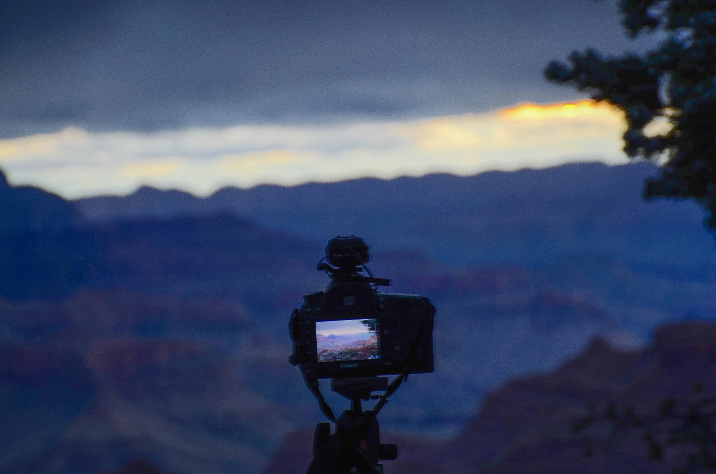
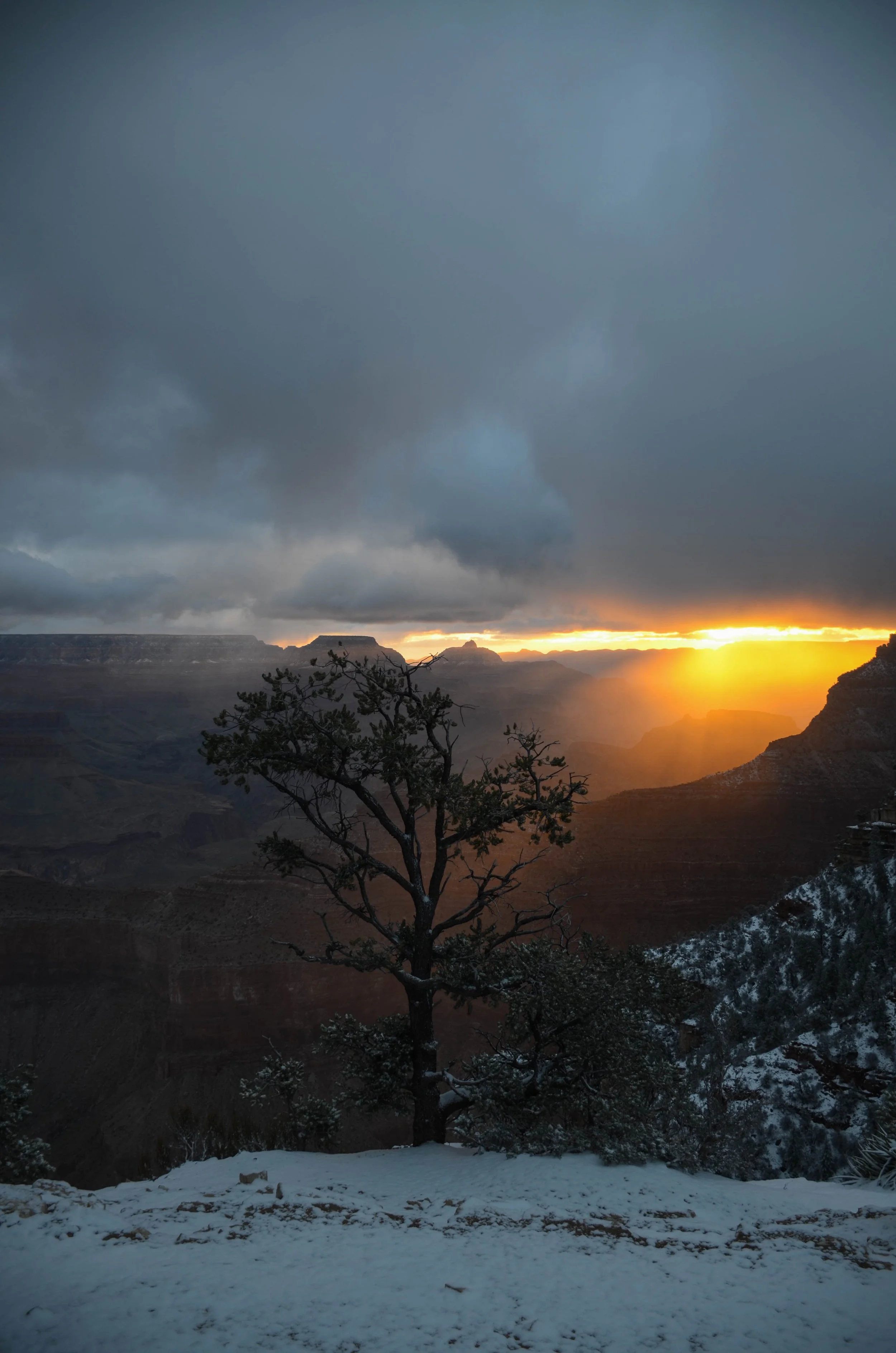
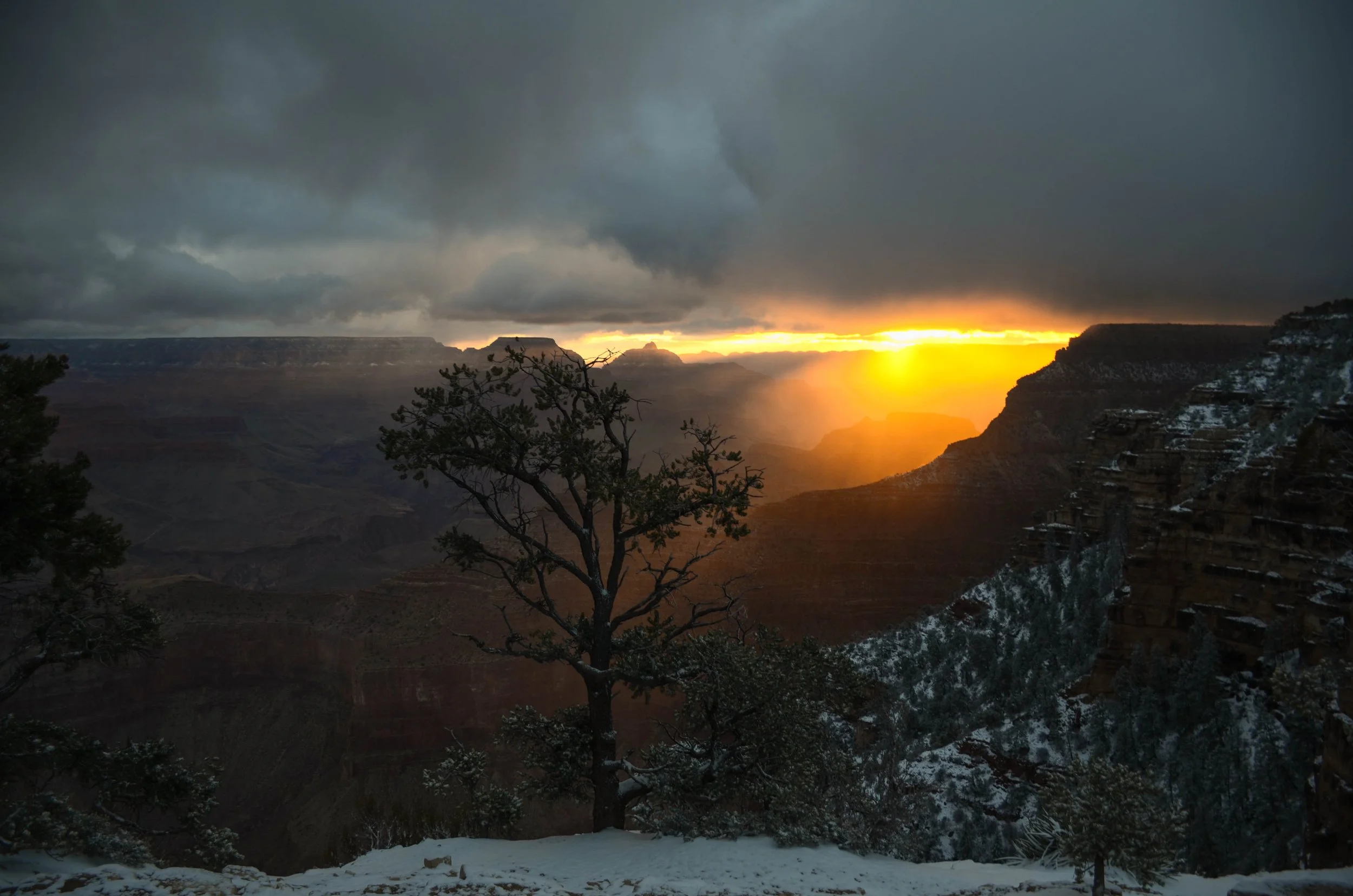
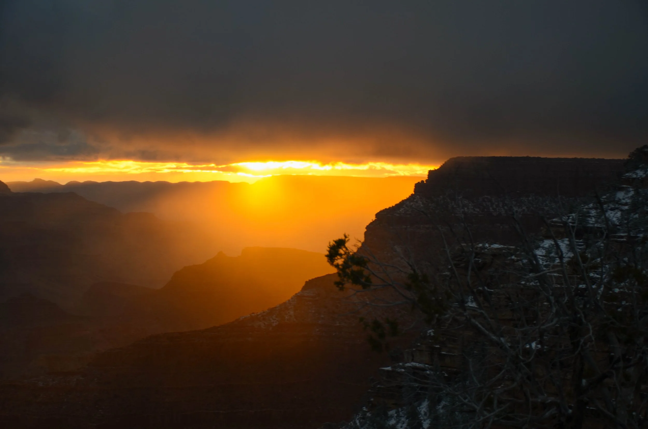
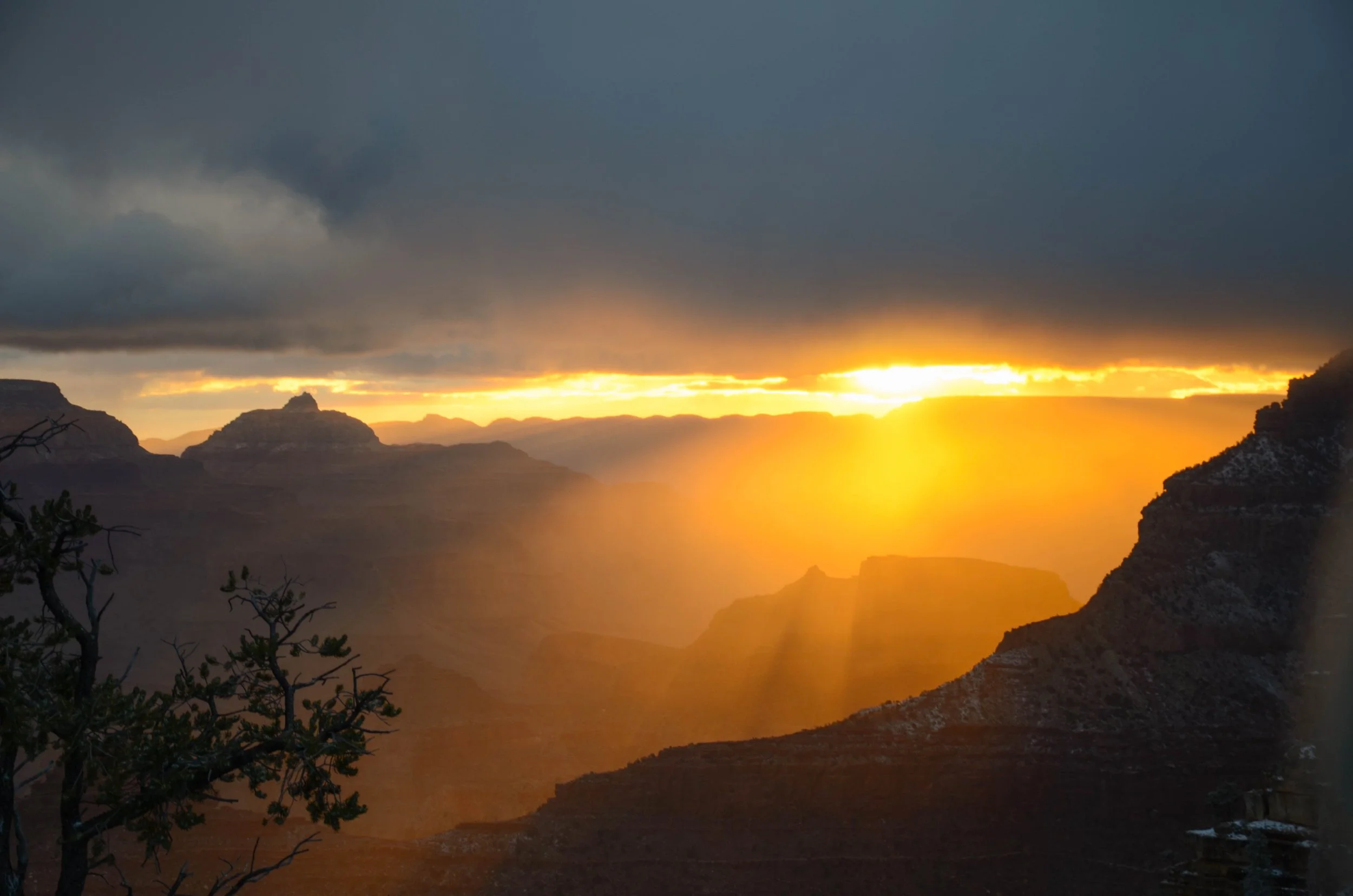
Solo South Rim trips (Emily) | March 2016 & April 2024
Pictured below:
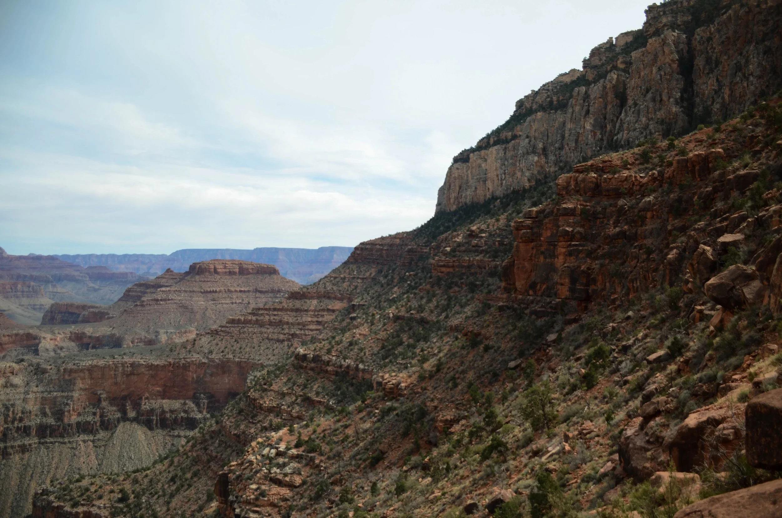
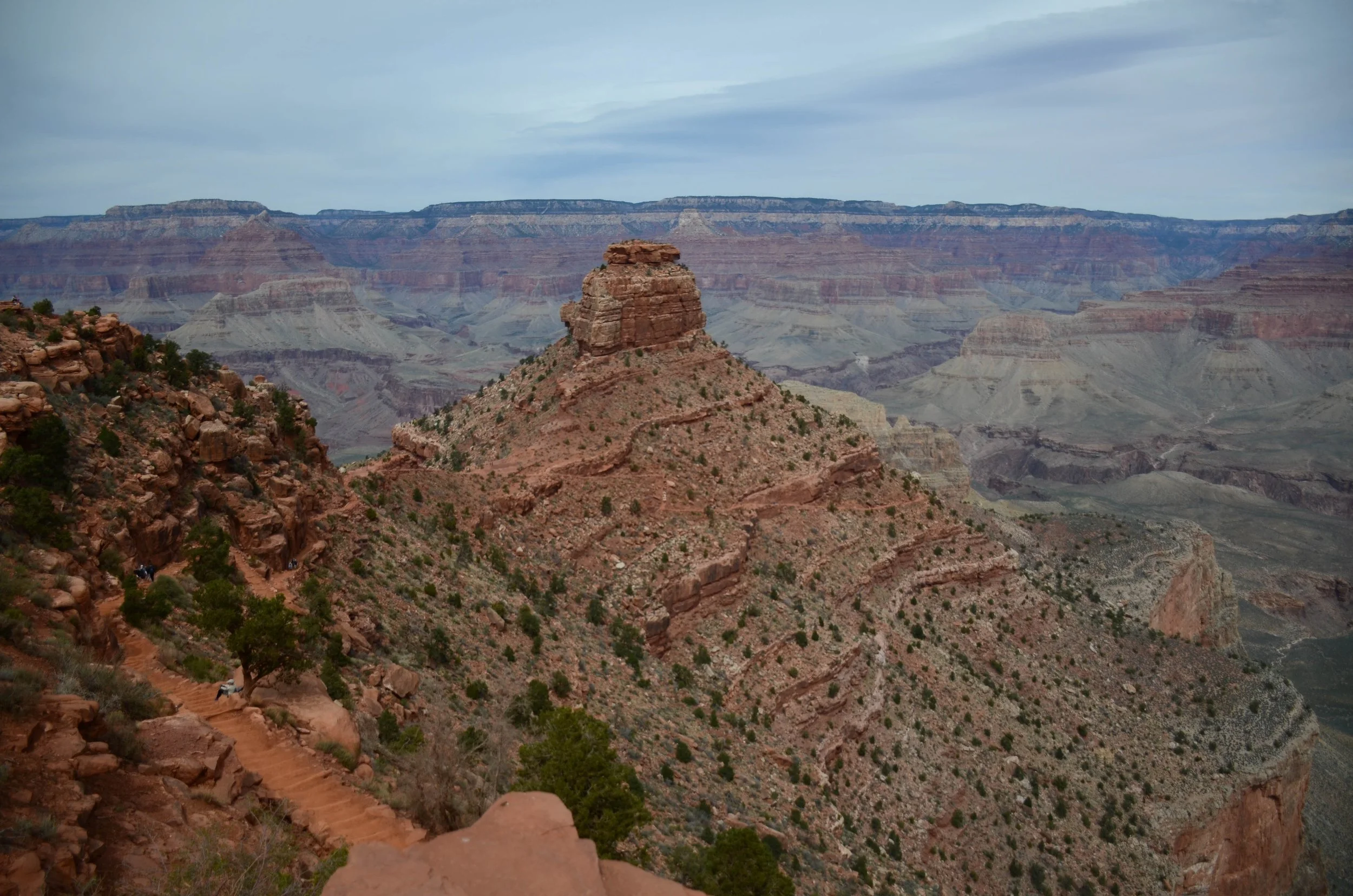
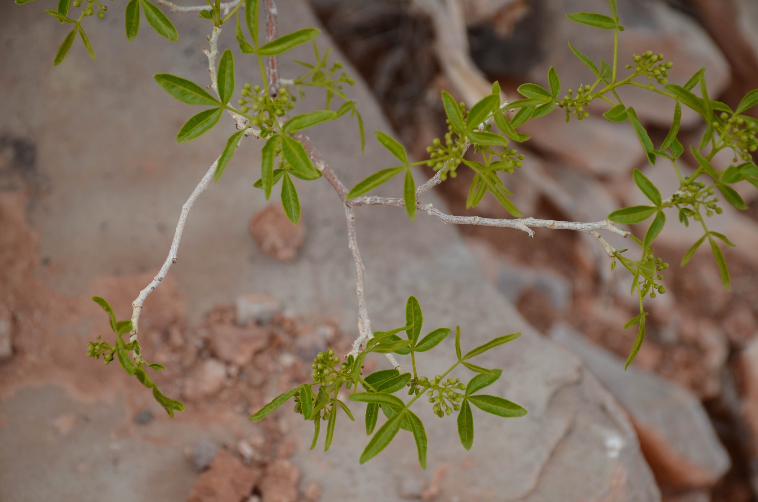
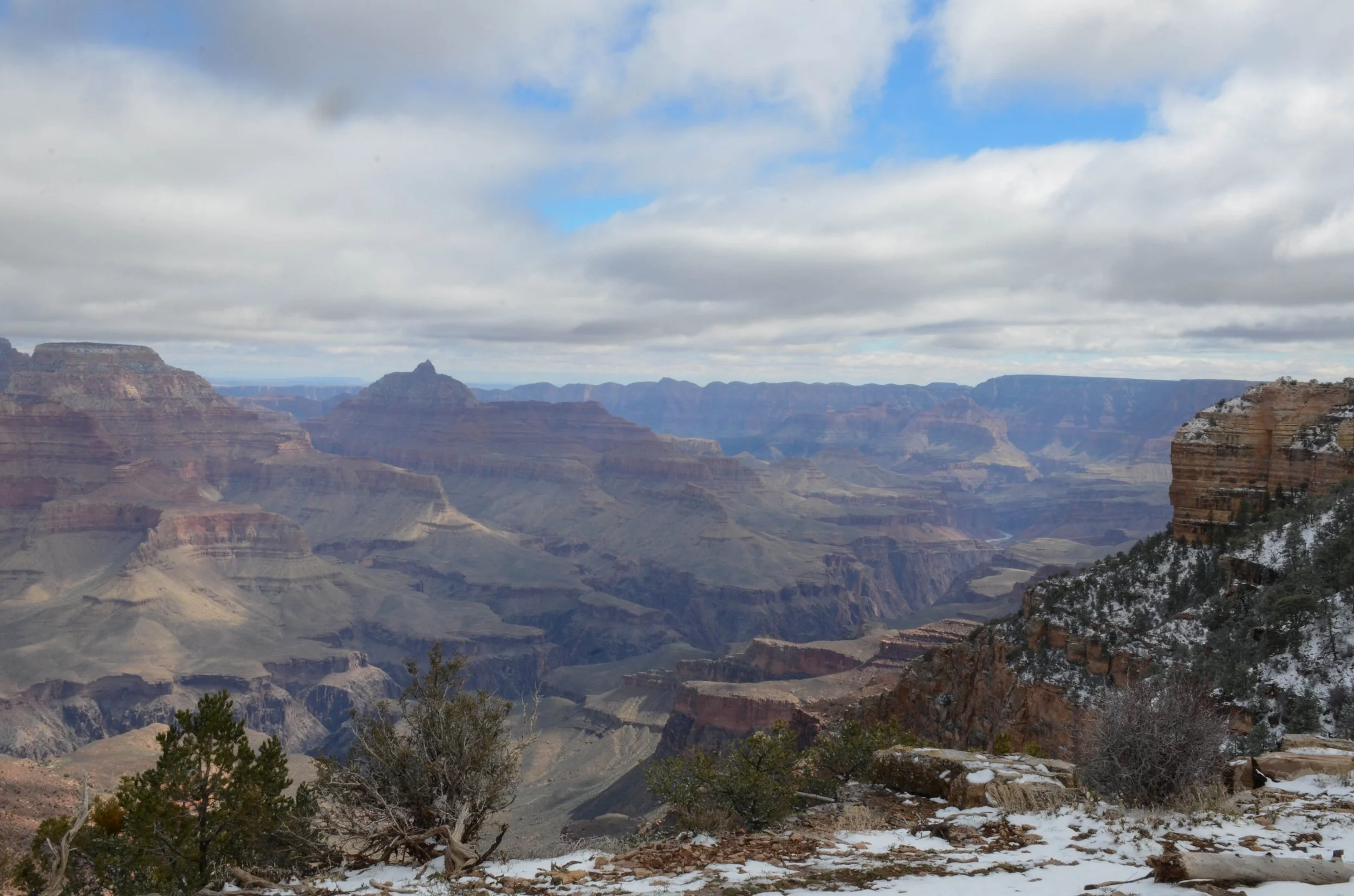
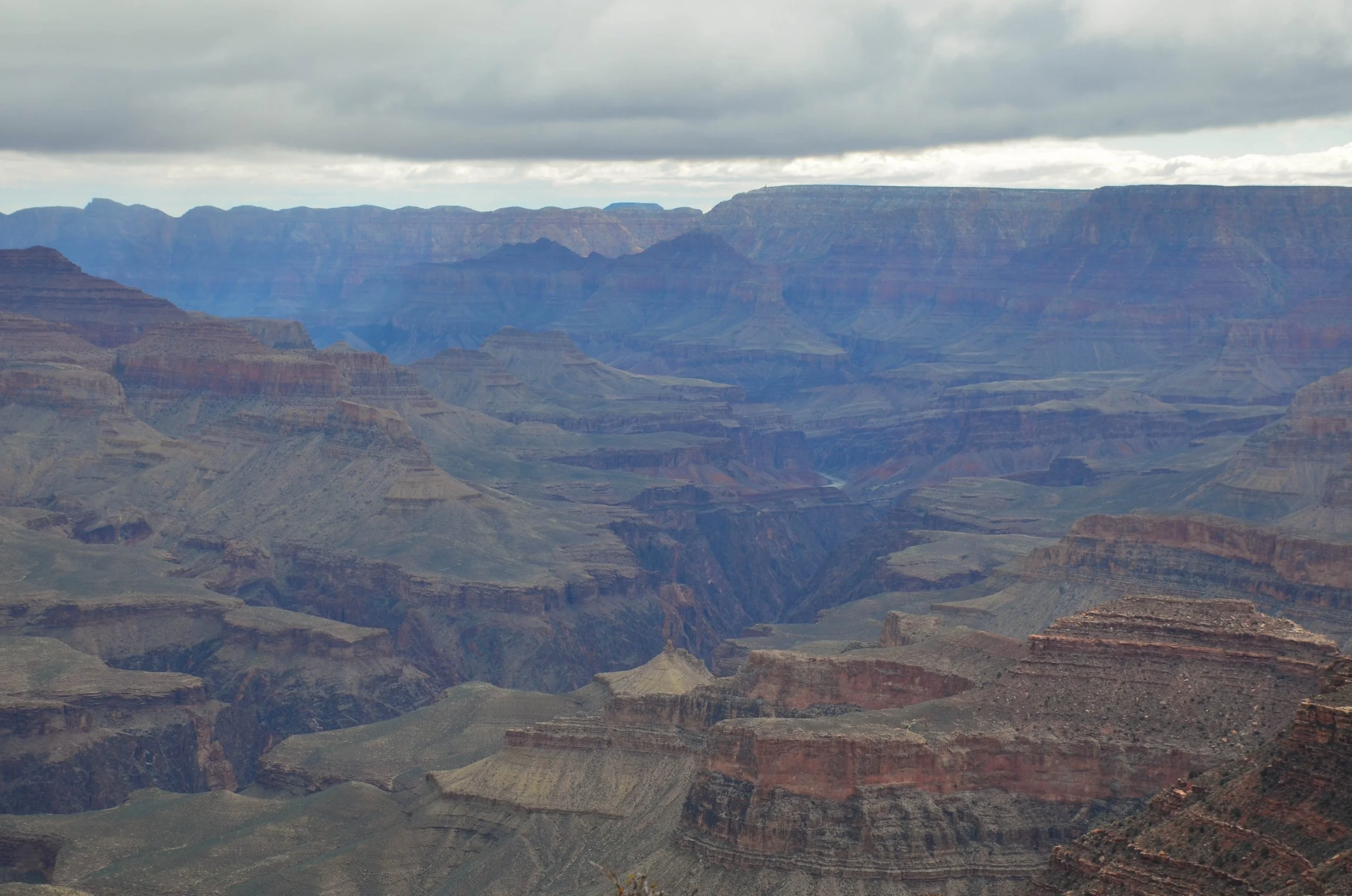
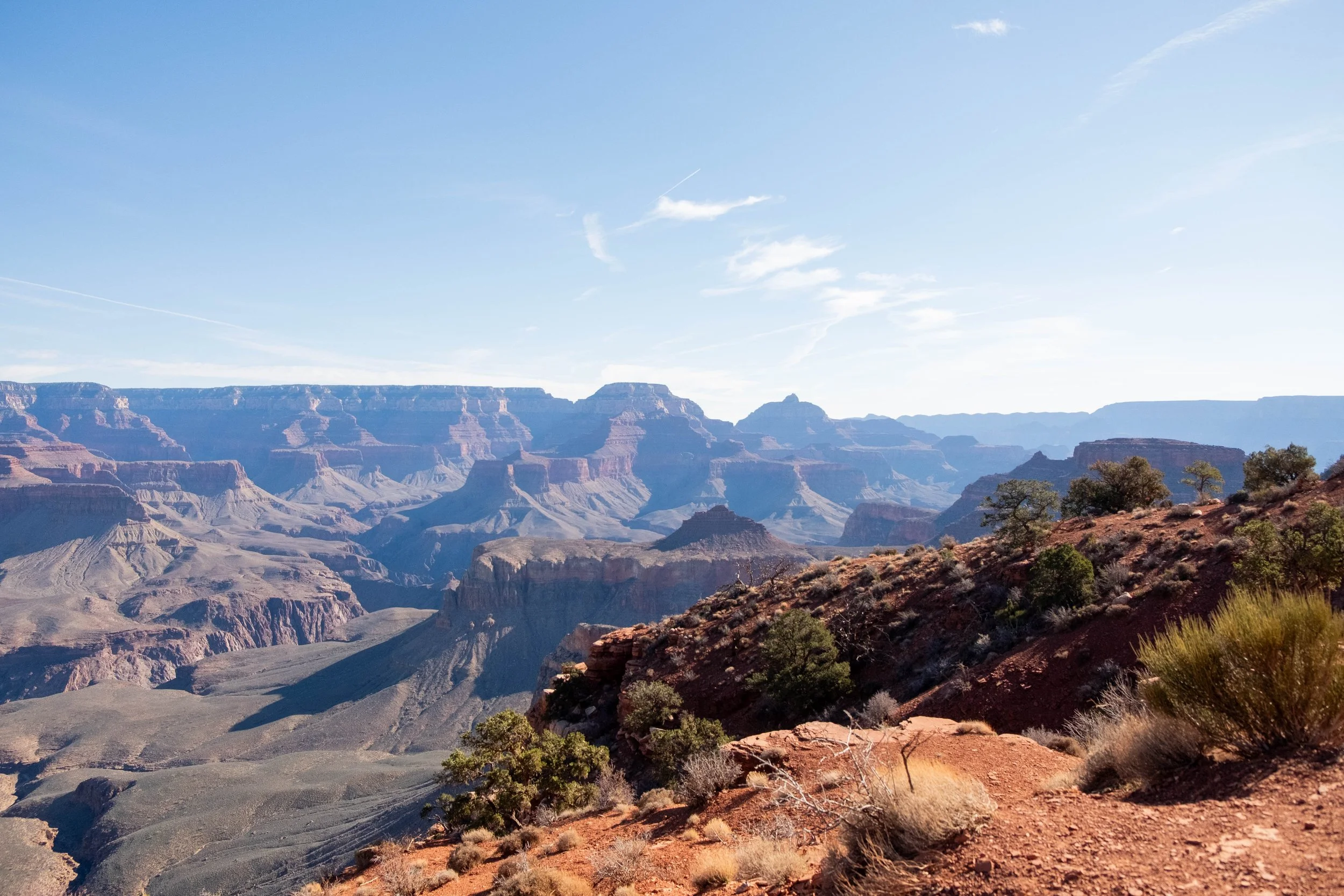
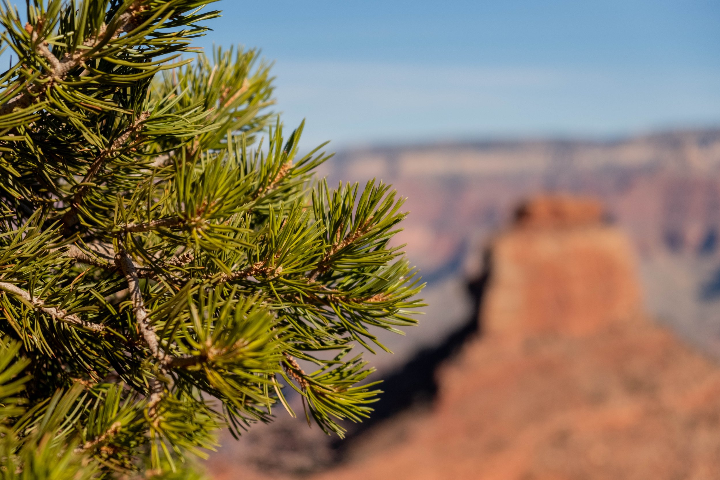
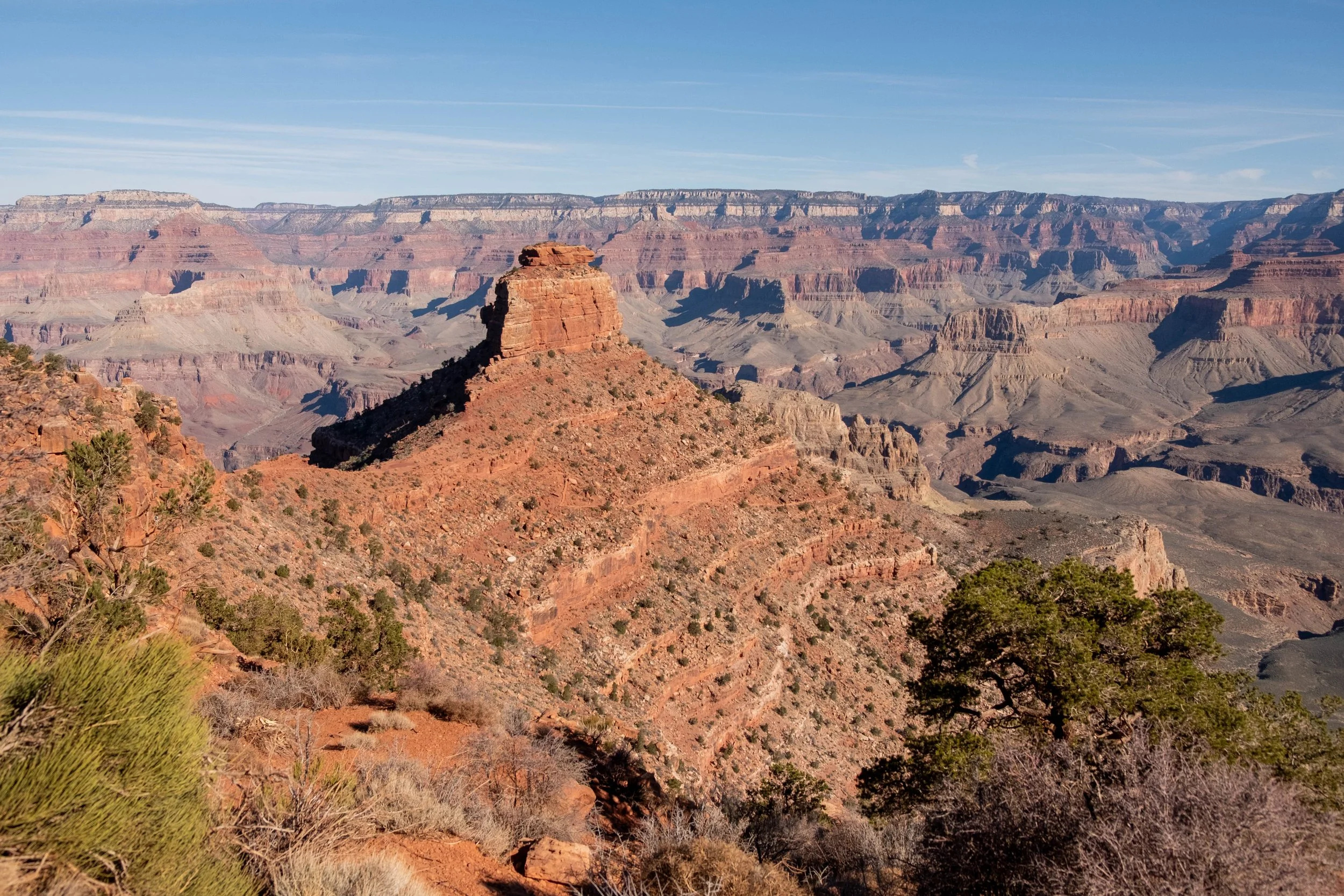
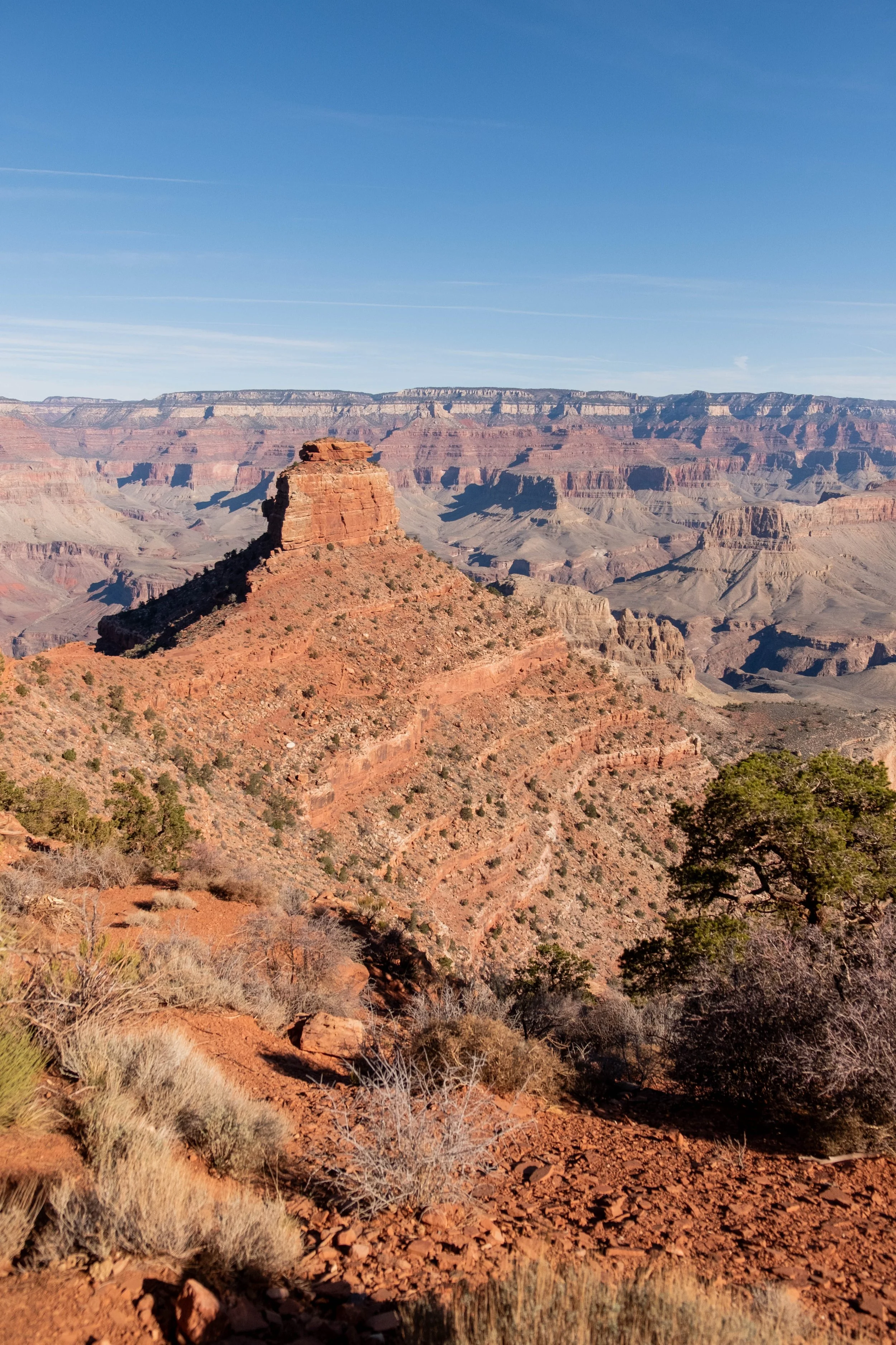
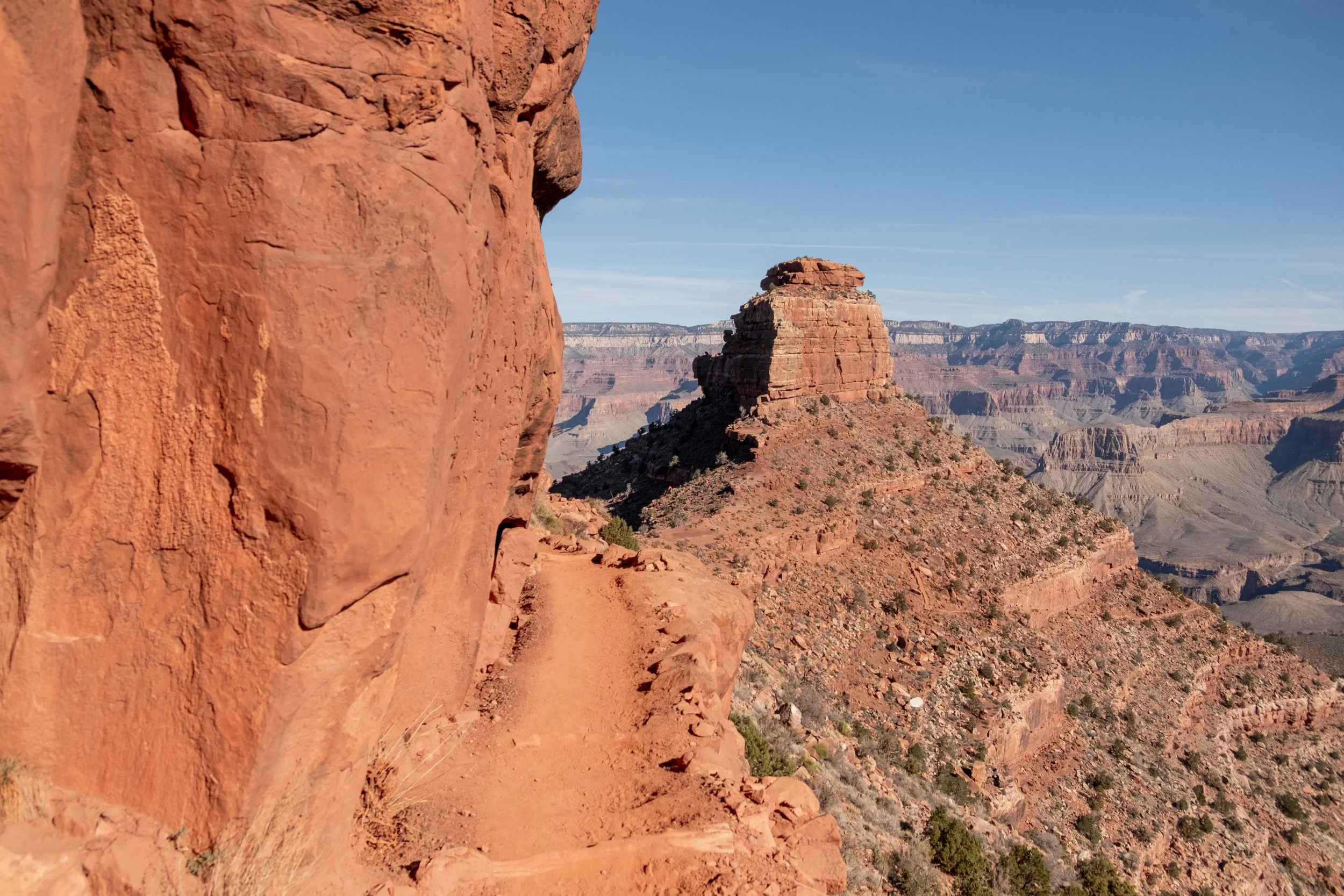
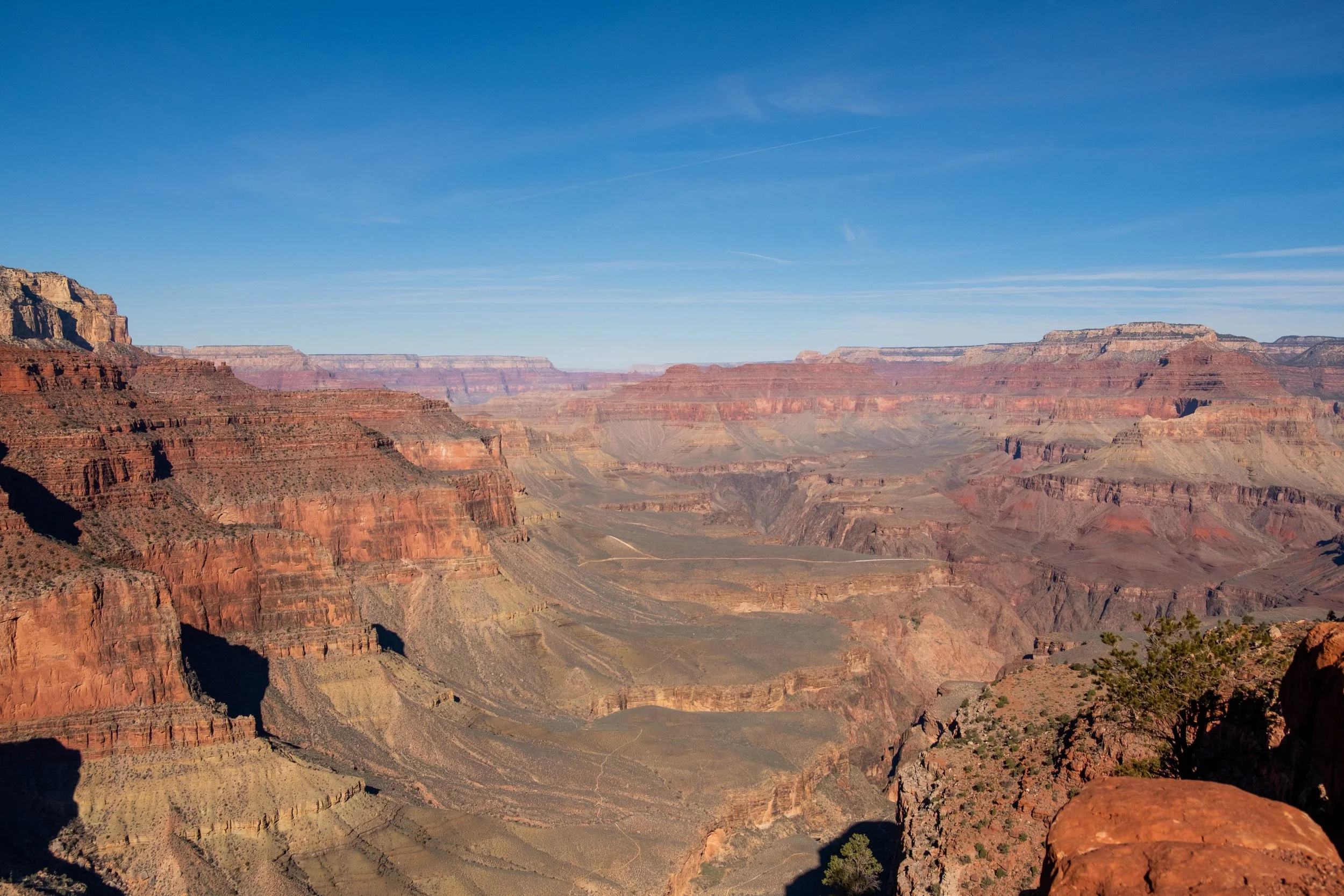
Views on the South Kaibab Trail to Skeleton Point.
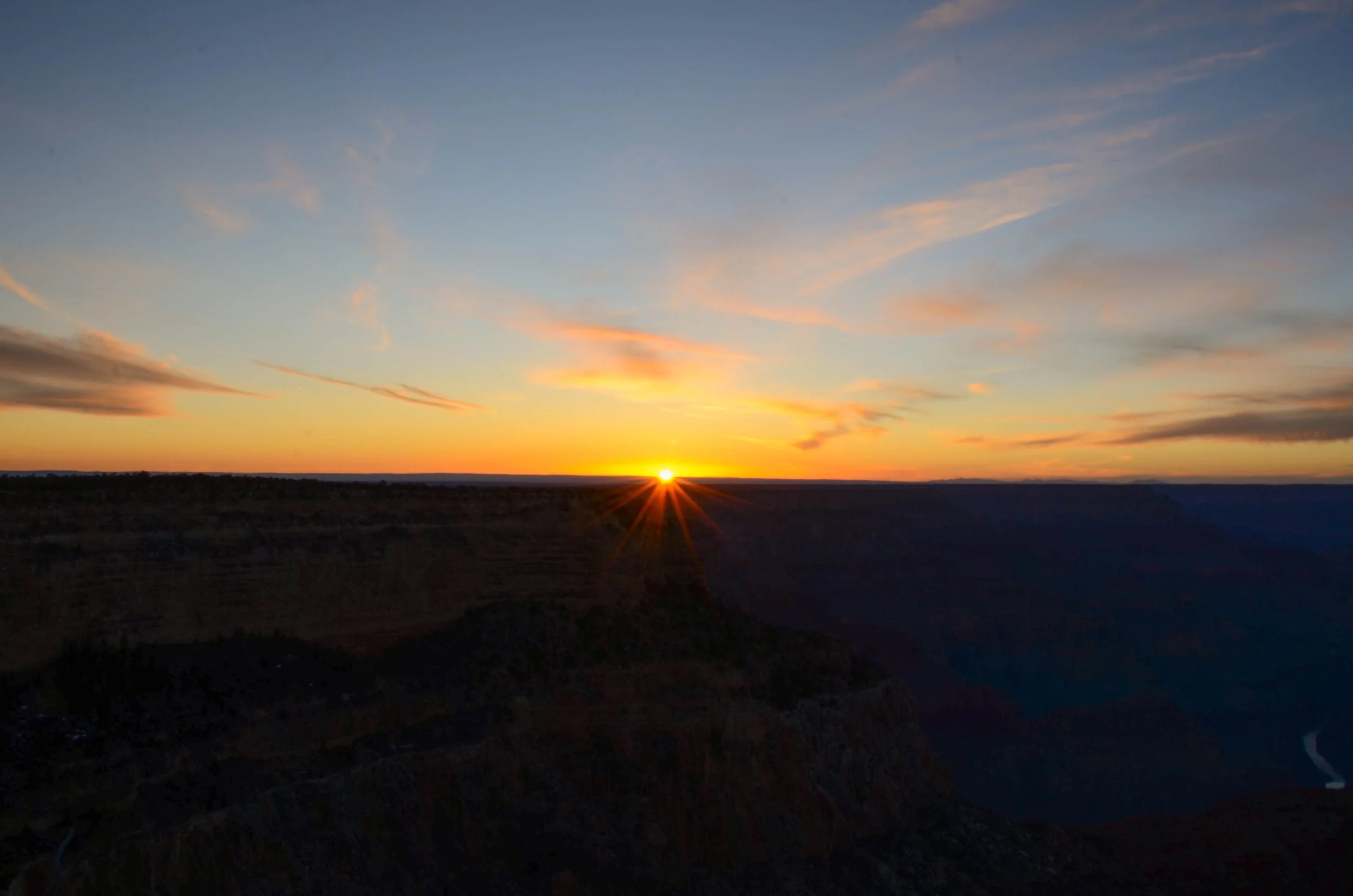
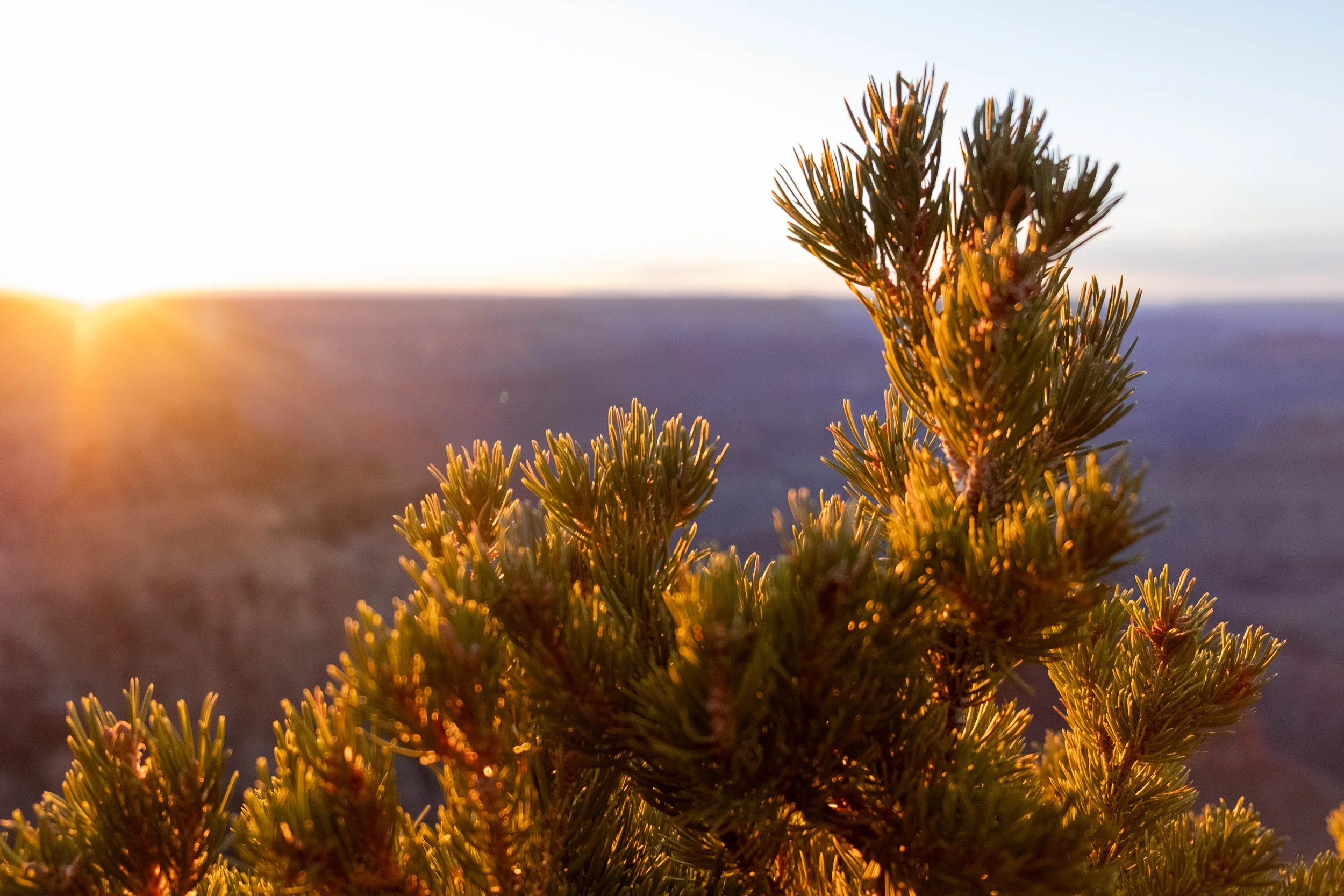
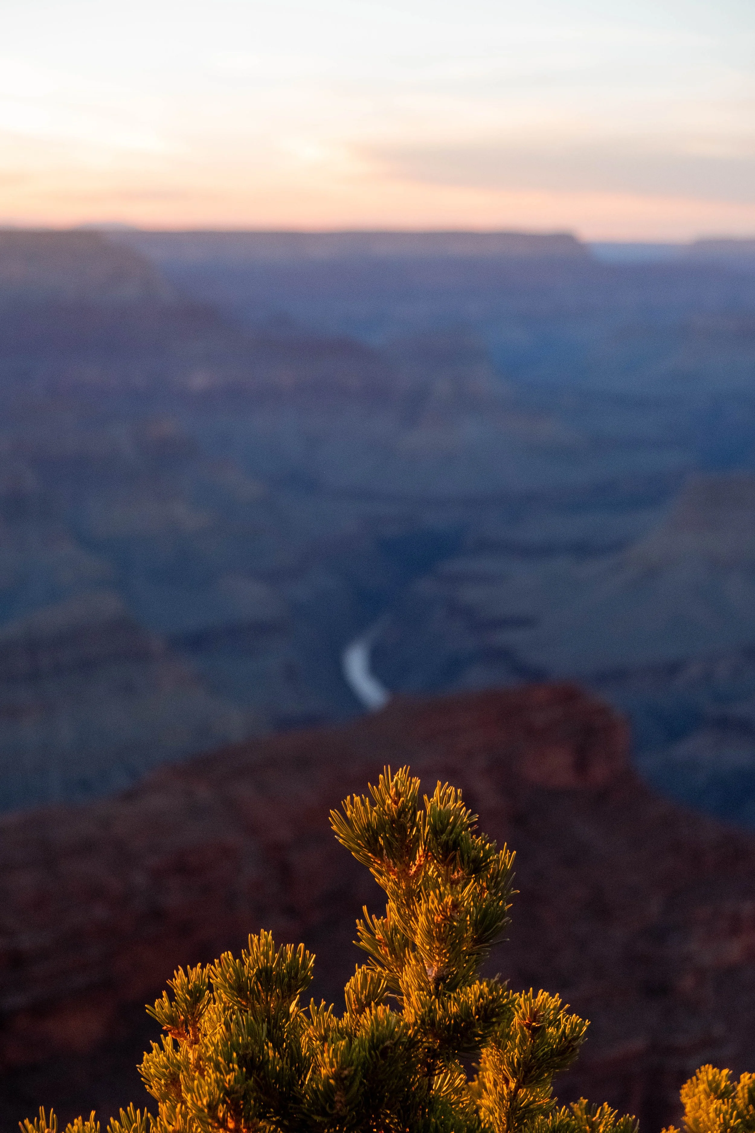
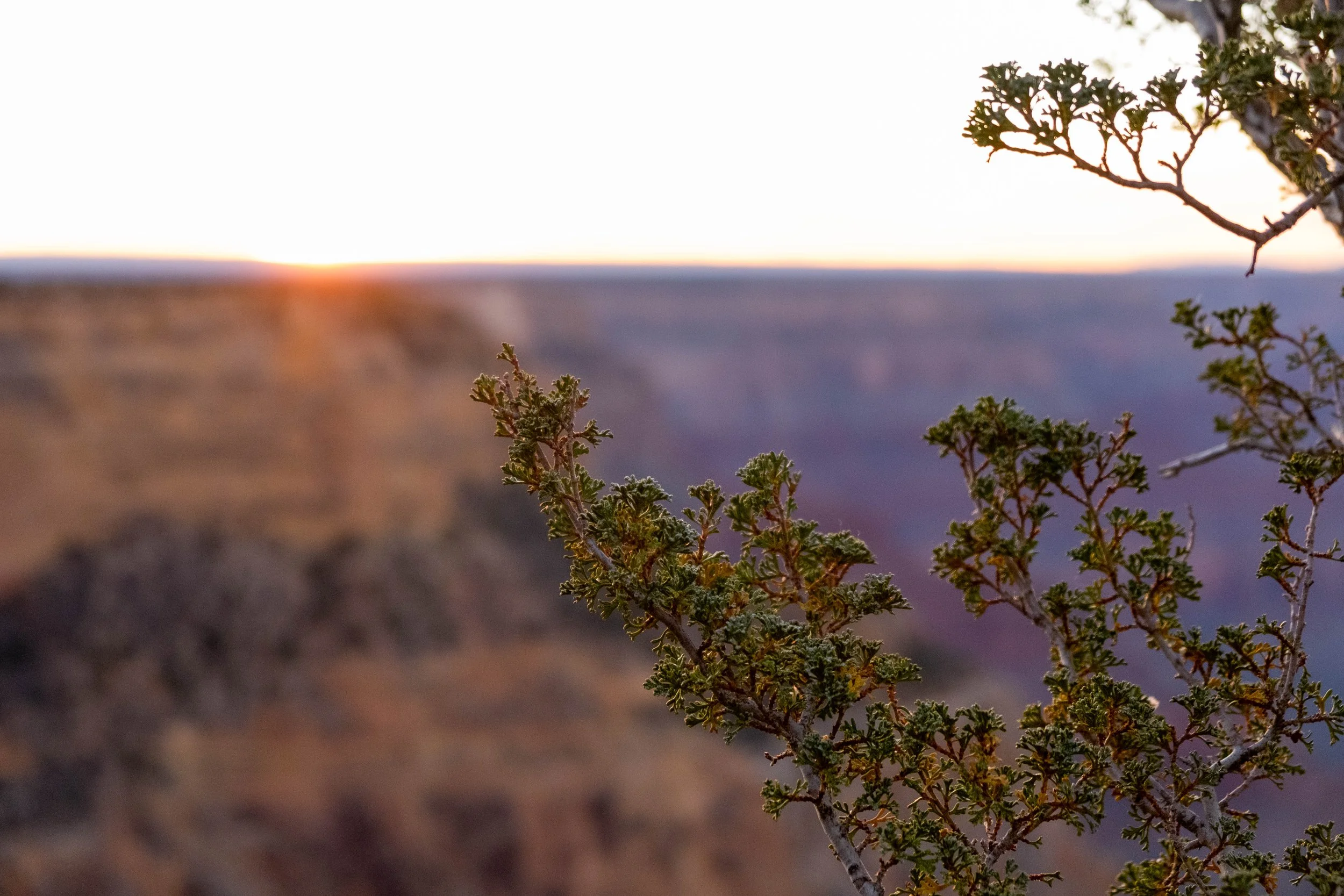
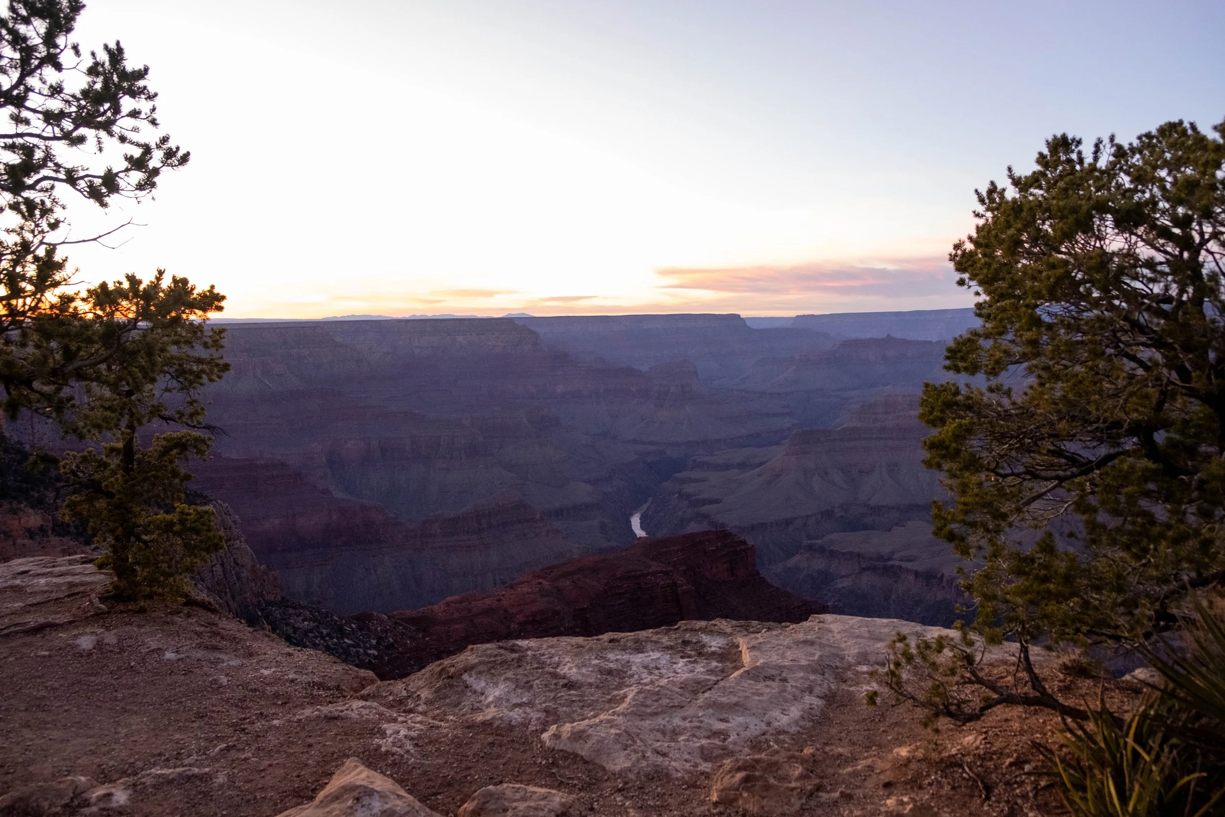
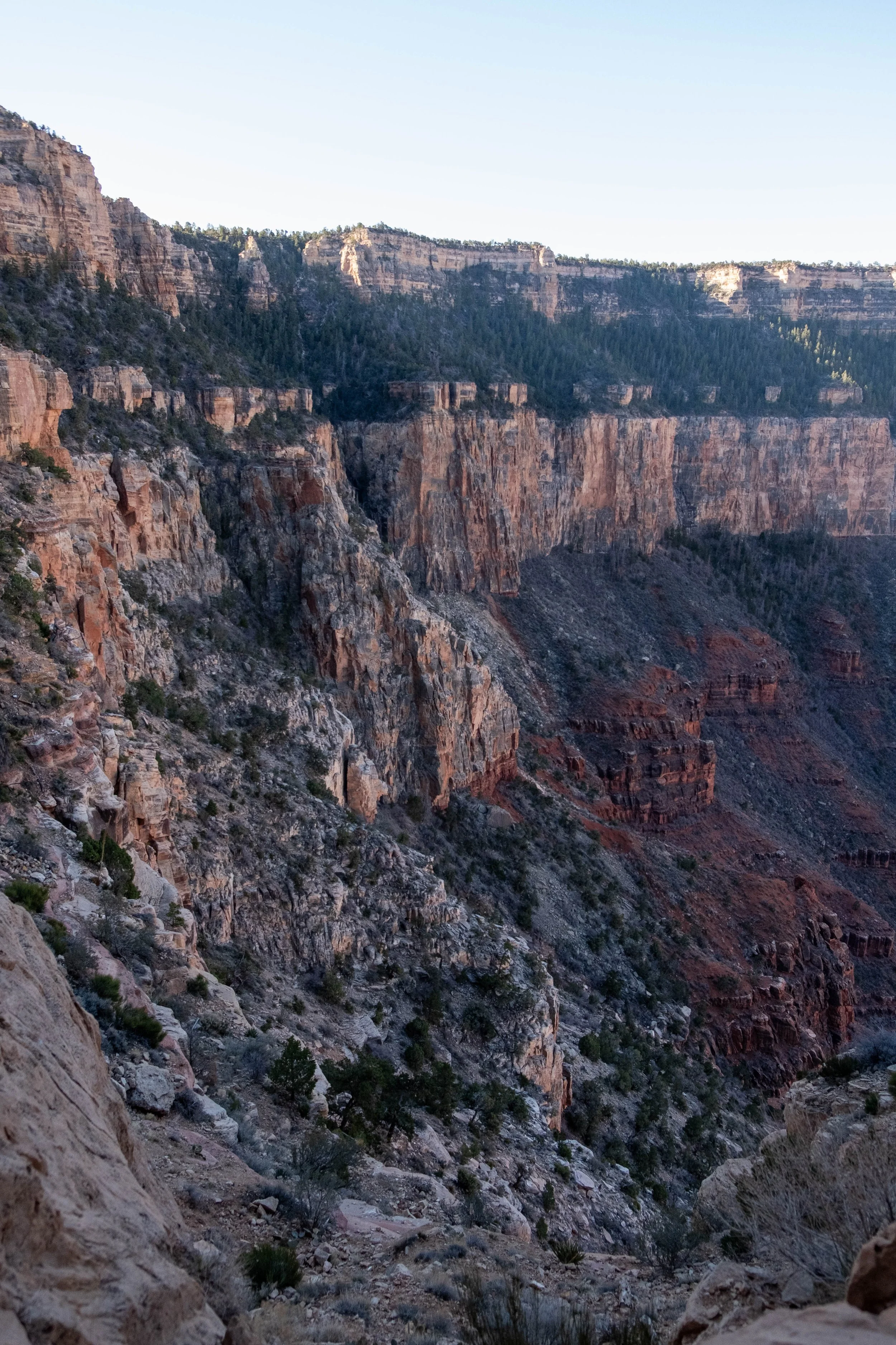
Sunrise and sunset from various lookouts along the South Rim.