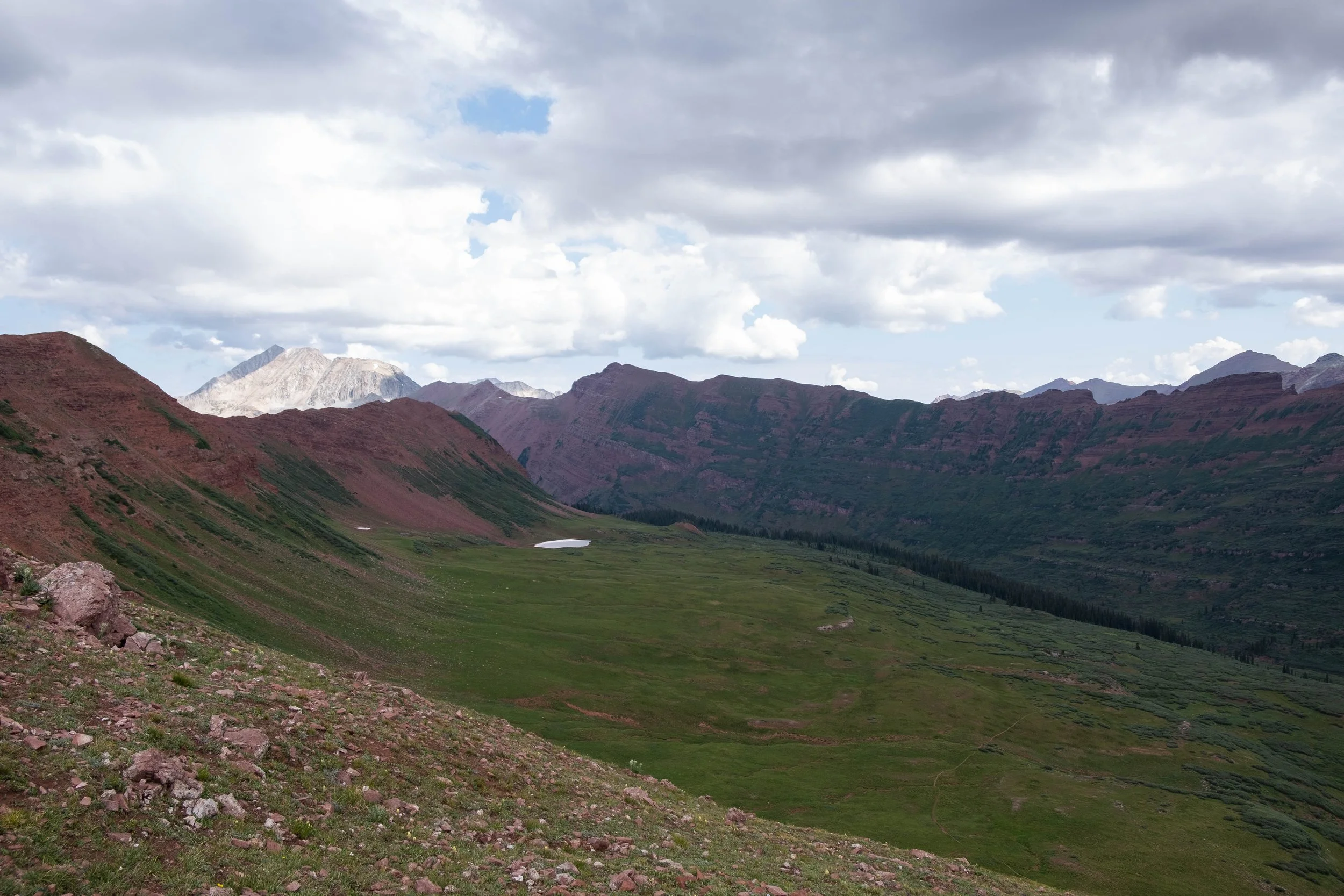
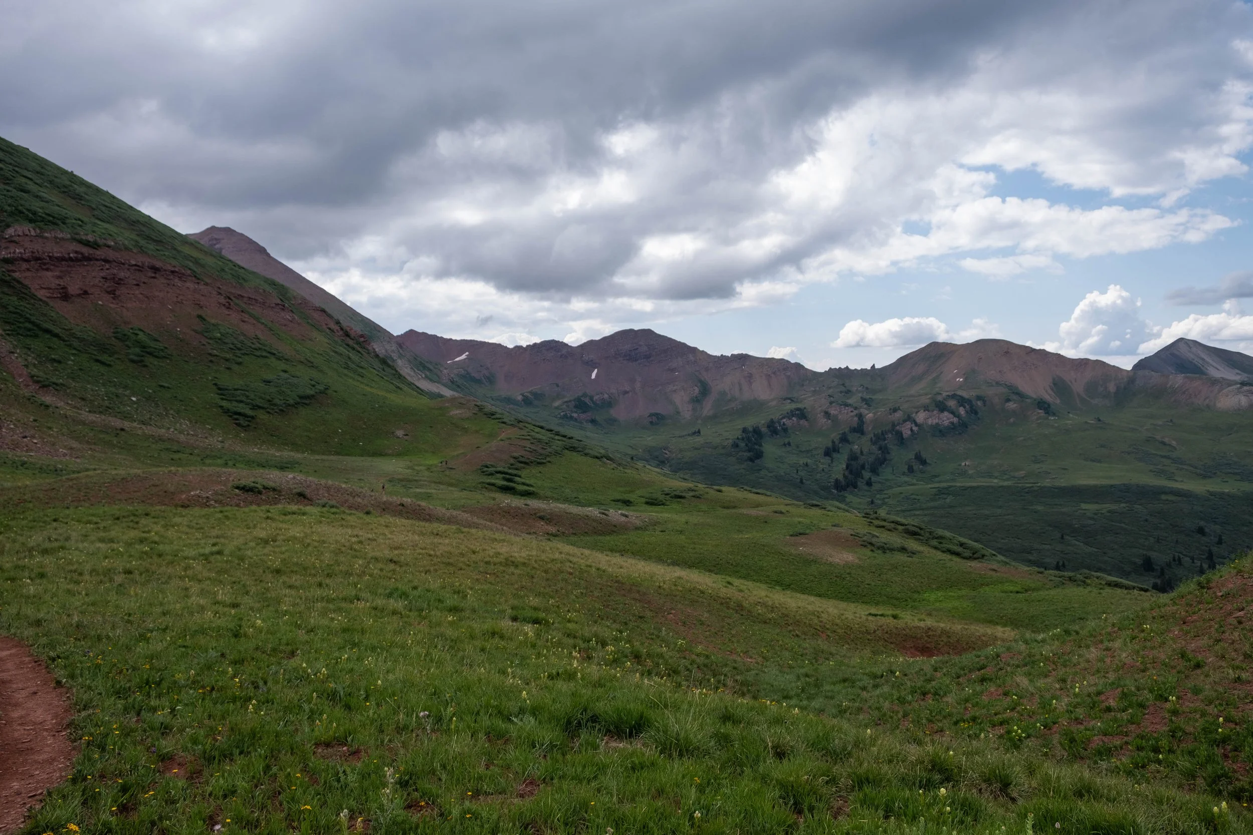
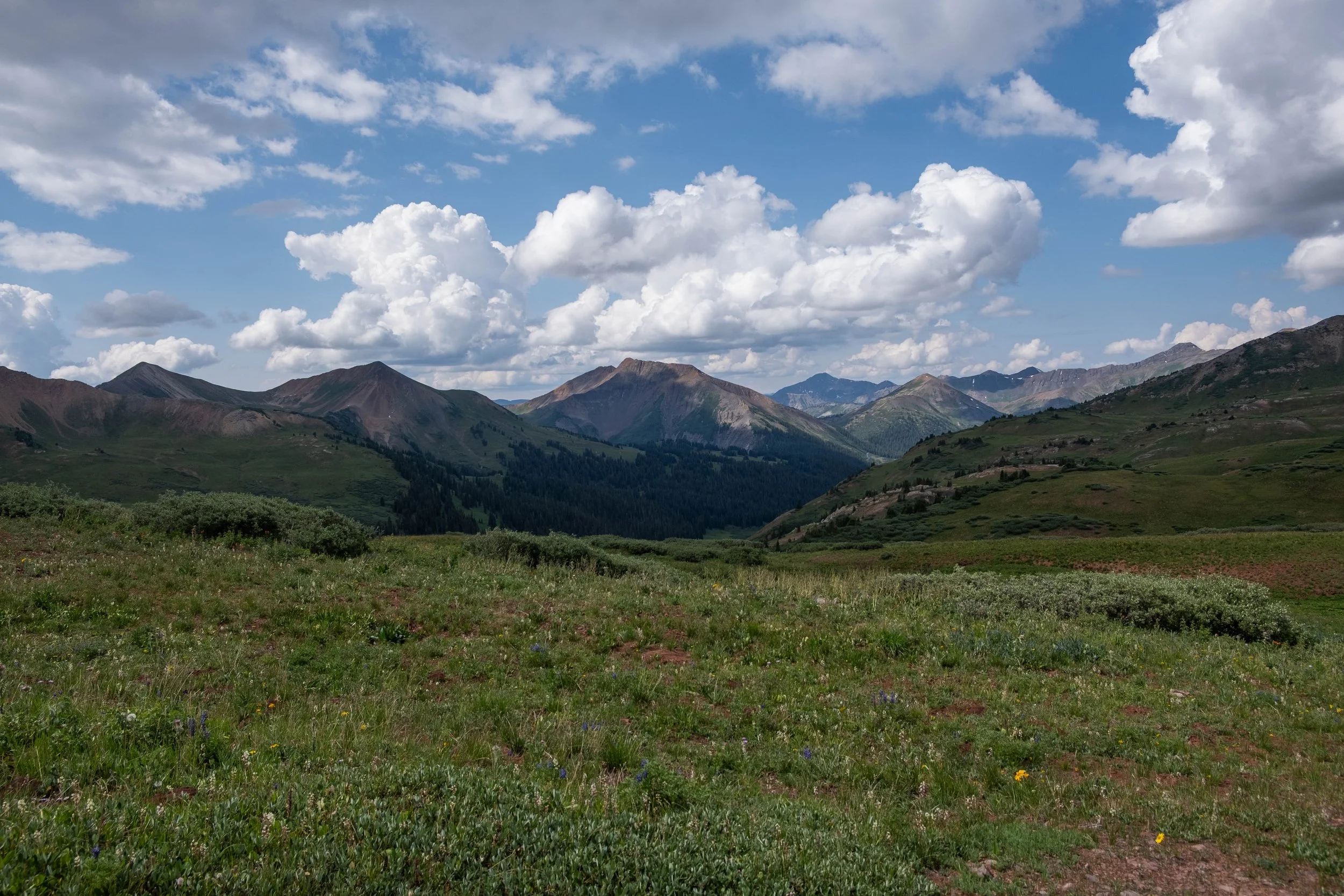
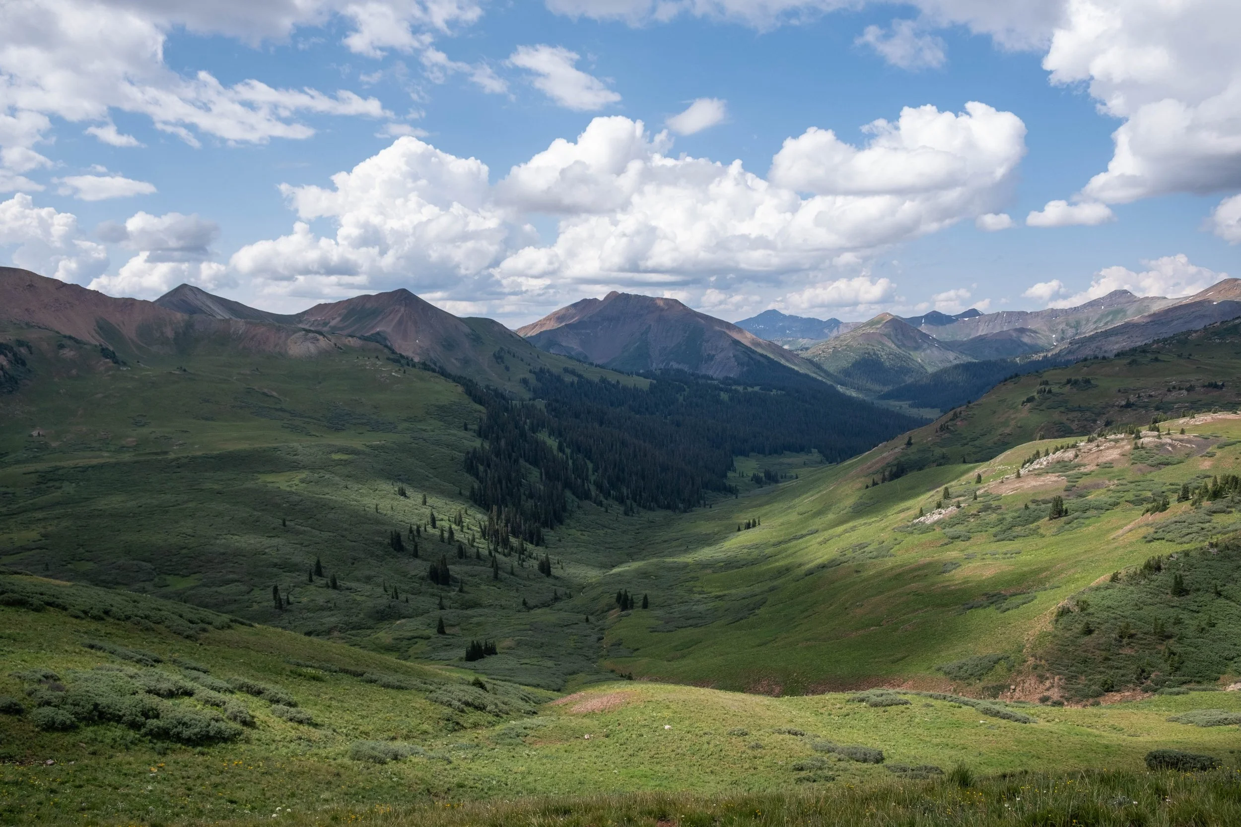
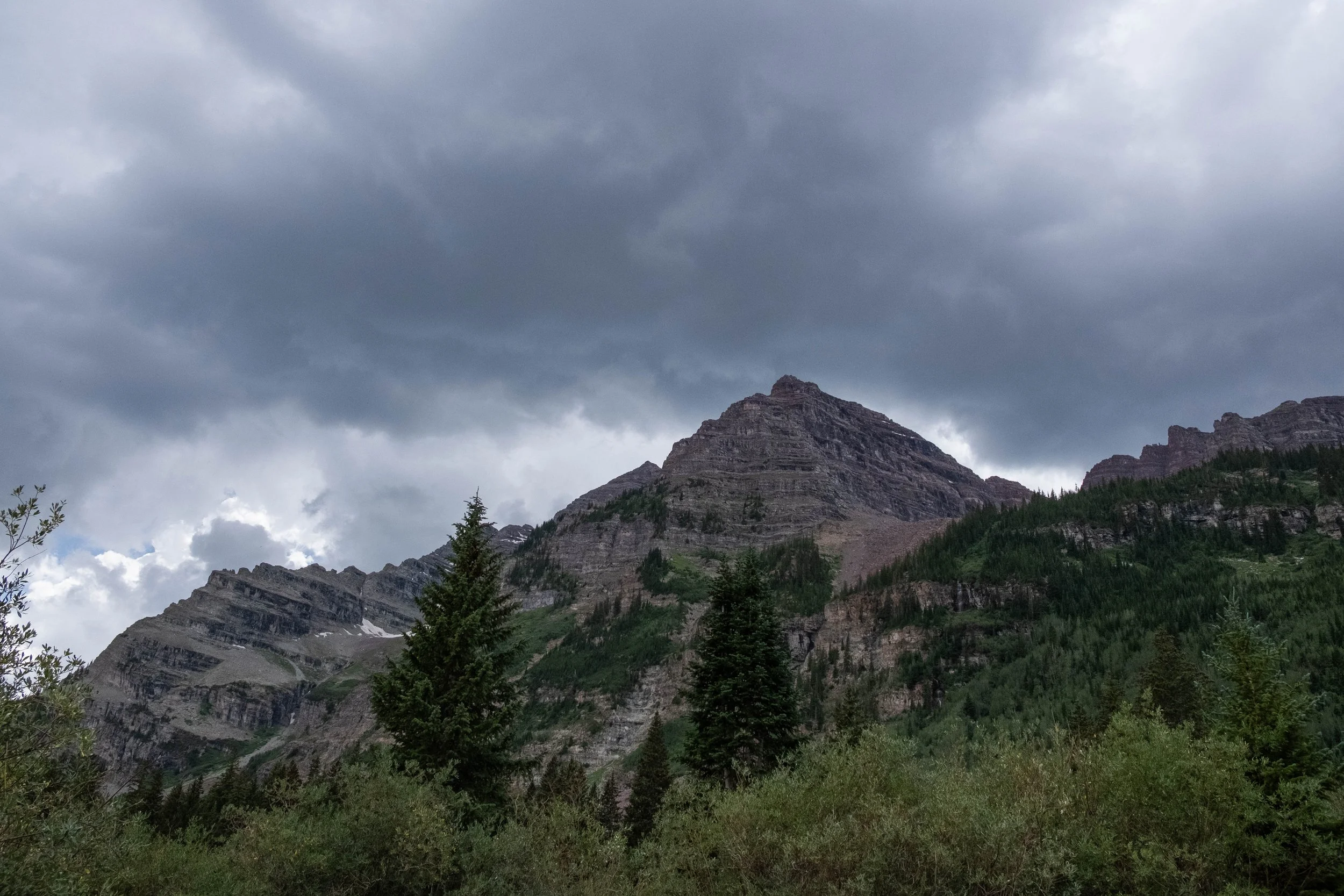
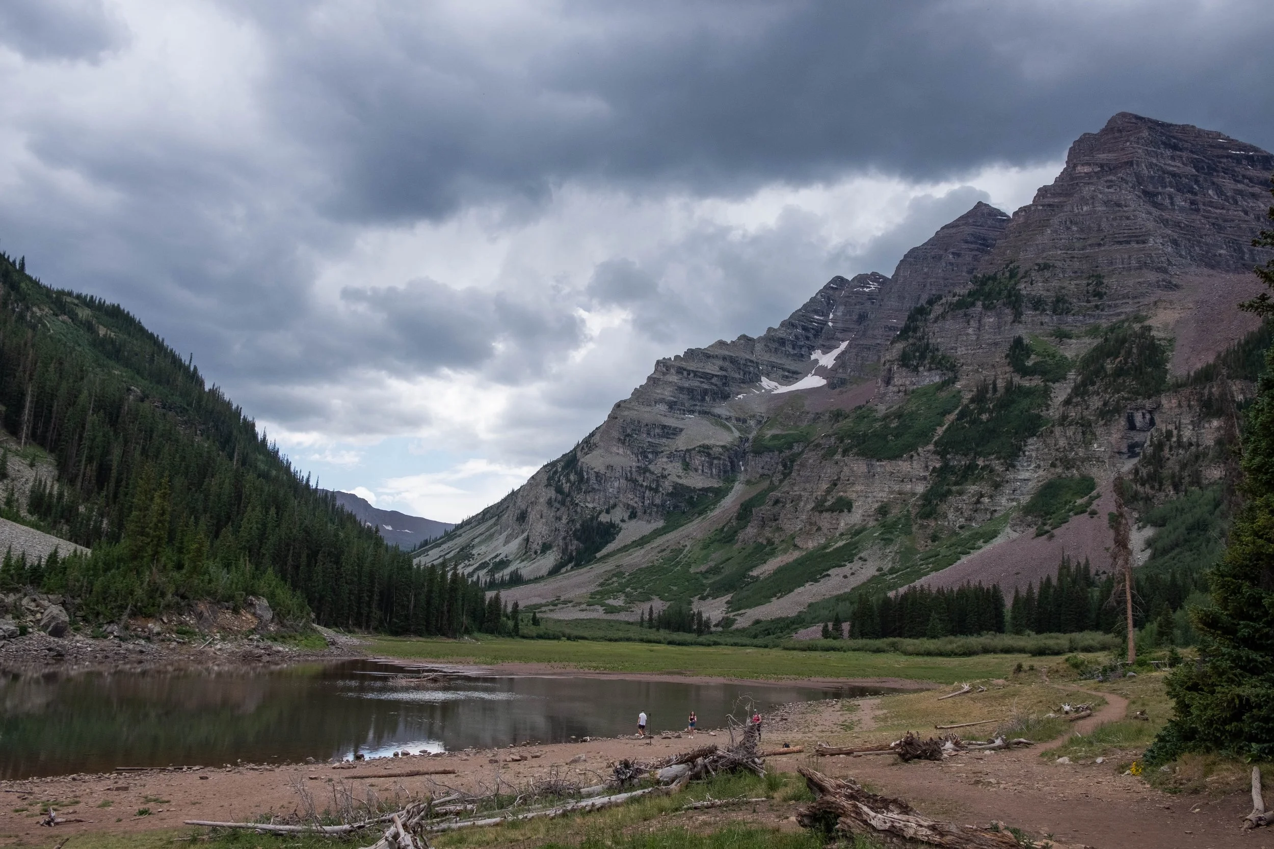
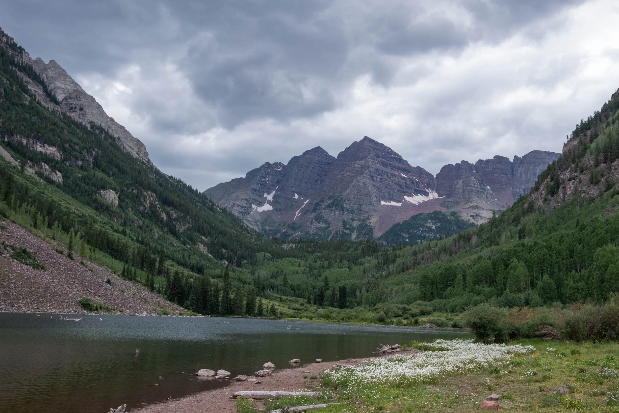
Maroon Bells Four Pass Loop
Hiking the Maroon Bells Four Pass Loop has been on our bucket list for the better part of a decade, but the logistics have made it challenging to actually pull off. The trailhead is over 3 hours away from where we live, which means it’s best to spend at least one night in the area in order to get an early start on the trail. However, Aspen is one of the most expensive places to stay in Colorado, making even a motel stay before/after the hike more costly than we’re typically willing to pay. Campgrounds are also scarce in this region; only a handful exist, and spots are typically reserved immediately when they open. On top of this, the road to the trailhead is not open to personal vehicles between 8am-5pm each day, so you either need to time your arrival before 8am (and obtain an overnight parking permit to display on your windshield) or pay for parking in Aspen and take the shuttle up… which also means you are beholden to the shuttle schedule for getting back to your vehicle at the end of the hike. Even if all that works out, you still need to get the actual backpacking permits for specific backcountry “zones” in the Maroon Bells Snowmass Wilderness: Do you want to complete the loop clockwise or counterclockwise? How many miles can you go in a day? Do you have three or four back-up plans if your first permits are taken?
Needless to say, every time that we tried to plan it out, it began to feel that the hike was the easiest part of the process — and that is saying something for a 28-mile loop with four mountain passes and 8,000 feet of elevation gain/loss.
This year, we decided to go for it. After a ridiculous amount of pre-planning, we found ourselves huddled over our laptops at 7:59am on all the correct days to try for the series of permits we needed. In January, we managed to get a campsite at nearby Silver Bar Campground for the night before we started the loop; in February, we tried for the Four Pass Loop backcountry permits as soon as they opened and were partially successful. Ideally, the loop is completed in three days, two nights. We only got permits for one night, so we would need to complete the loop in two days, one night. Nevertheless, we were giddy that we had mostly-successfully lined up all the pieces of this wild jigsaw puzzle and resolved to tackle it anyway.
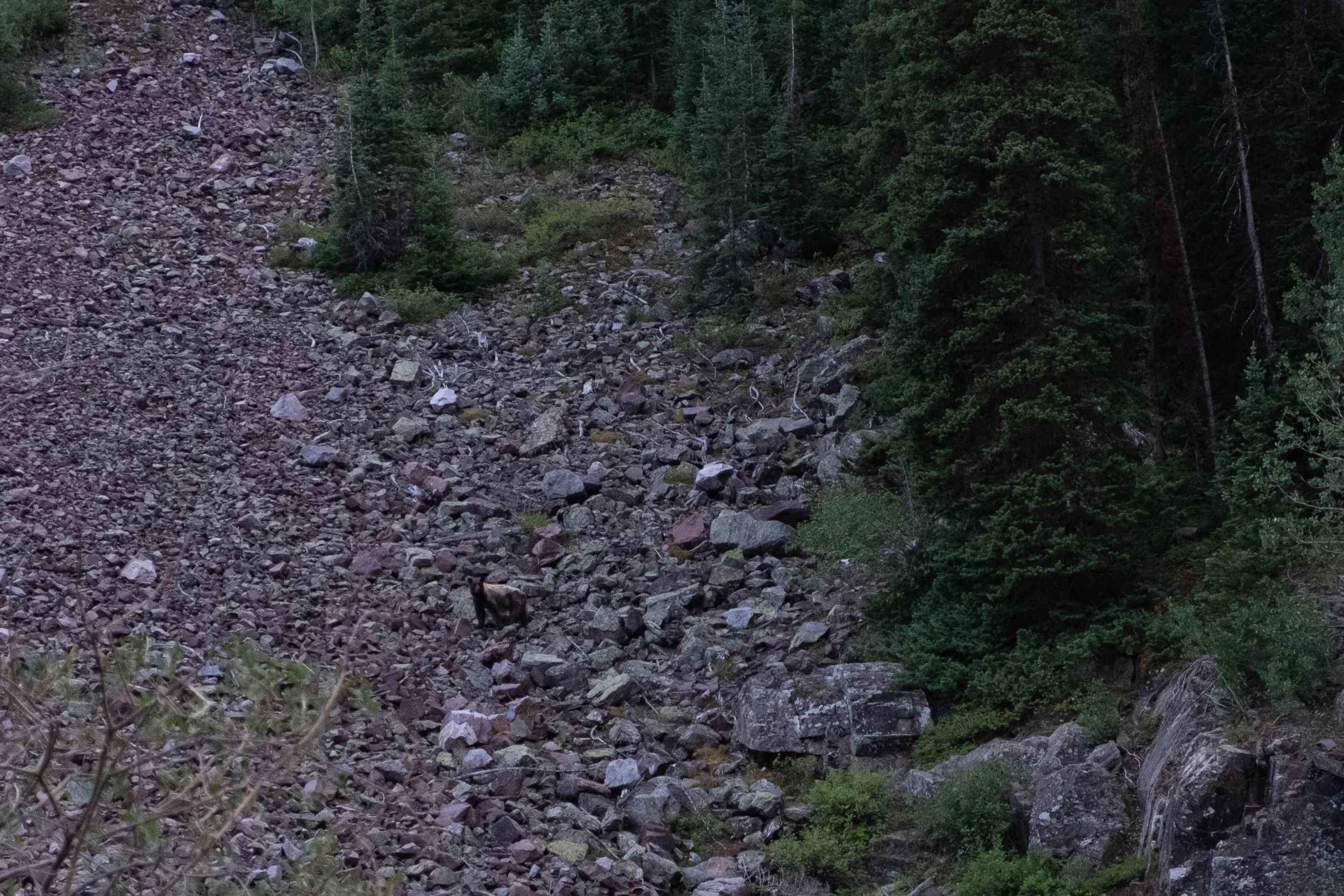
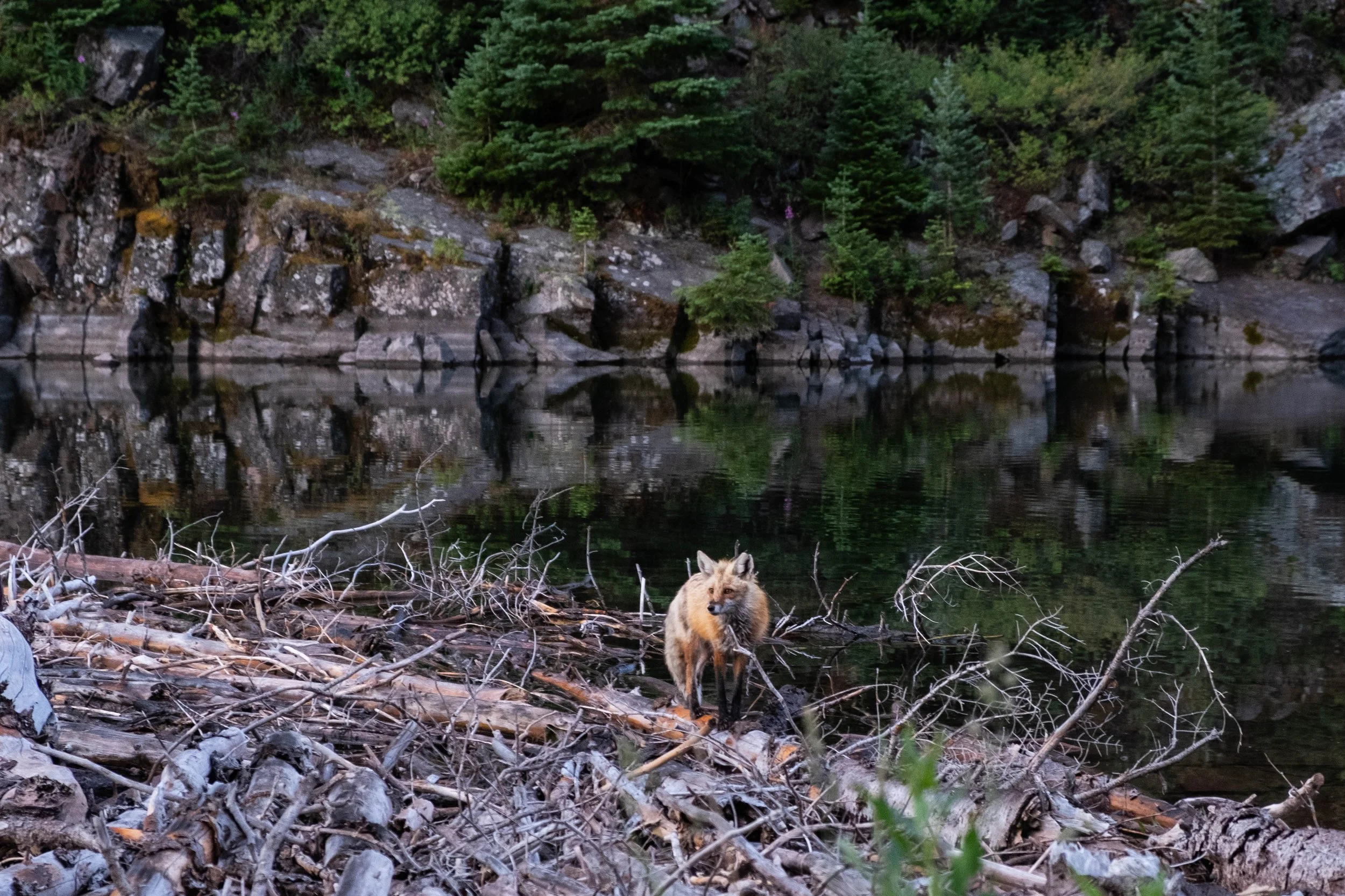
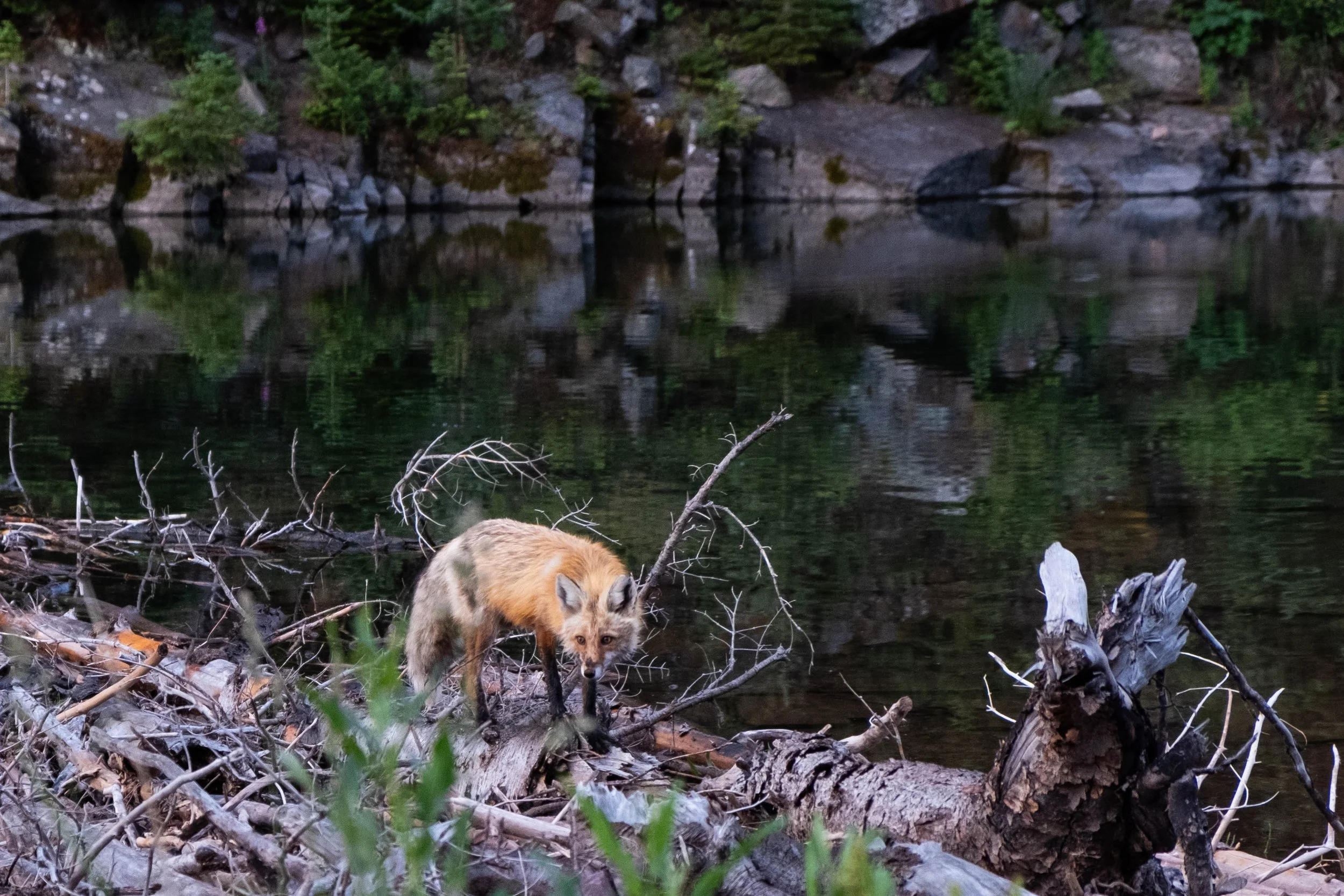
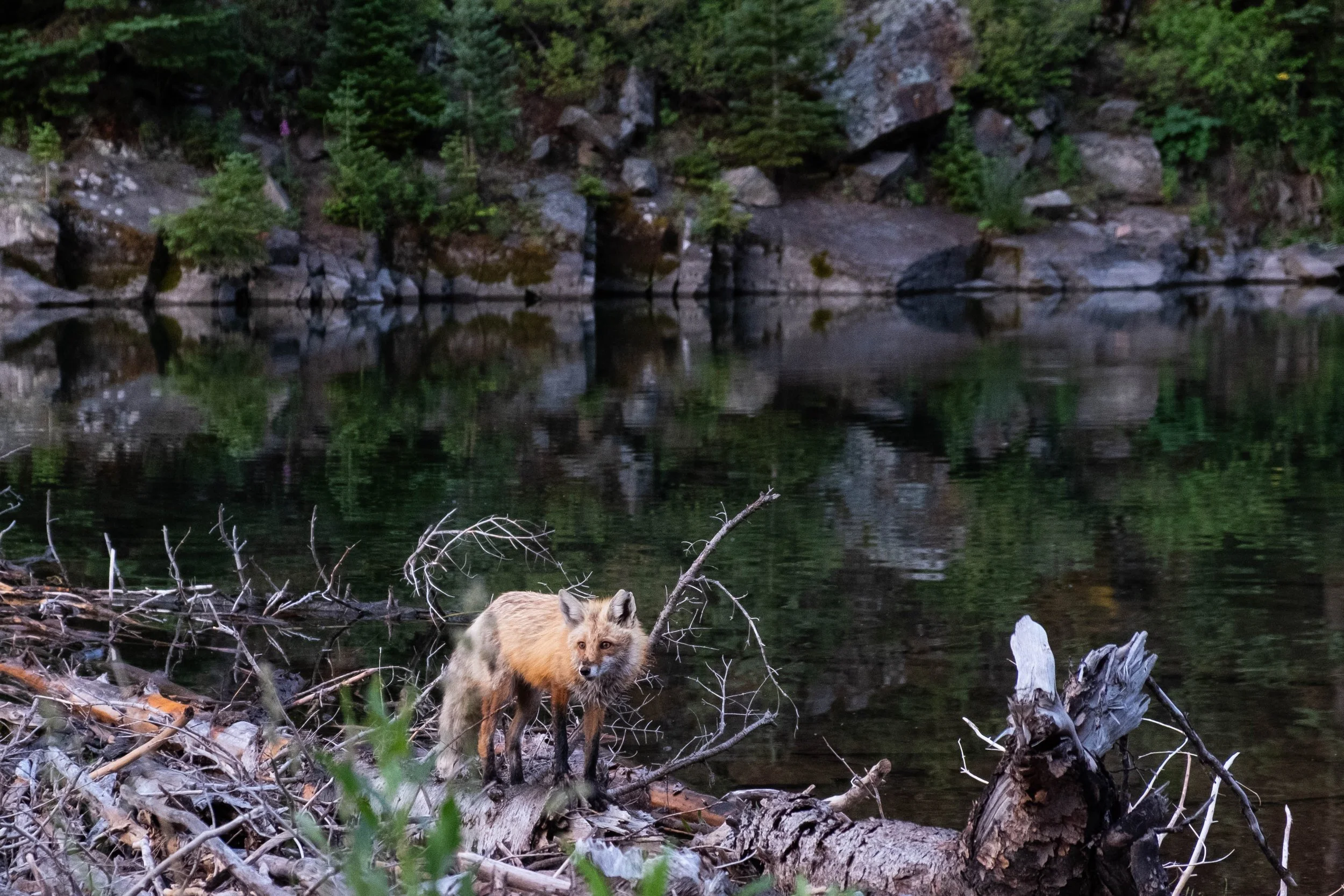
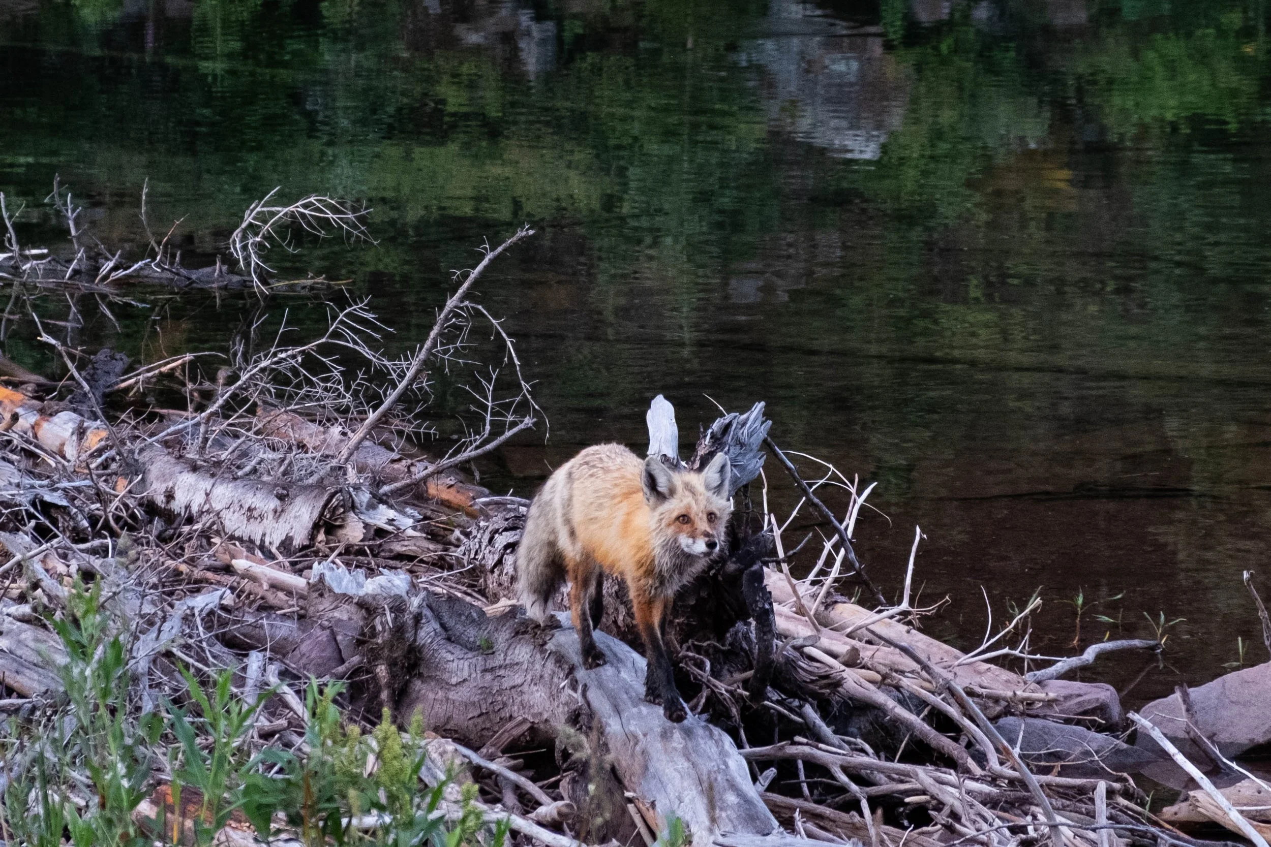
Fast forward to July. We drove over Independence Pass and descended into Aspen, where we were immediately greeted by an enormous bull moose trotting through the field to our left. We walked around town to stretch our legs and grabbed drinks at Stranahan’s Whiskey Lodge before driving up to our campground to pitch our tent. We took our pre-made dinners up to Maroon Lake to watch sunset, where we were surprised and delighted to see a bear ambling across the slope on the other side of the lake (peep the grainy photo below), an active pair of fox kits playing near their den tucked into a rocky outcropping, and deer emerging from the nearby aspens to forage in the fields. We eventually returned to our campsite as dusk fell over the valley, ready for rest but eager to begin our challenge the next morning.
Day 1: Maroon Lake Trailhead to Fravert Basin via Buckskin Pass and Trail Rider Pass
Distance: 13.8 miles | Ascent/Descent: +4,500 ft/-3,850 ft
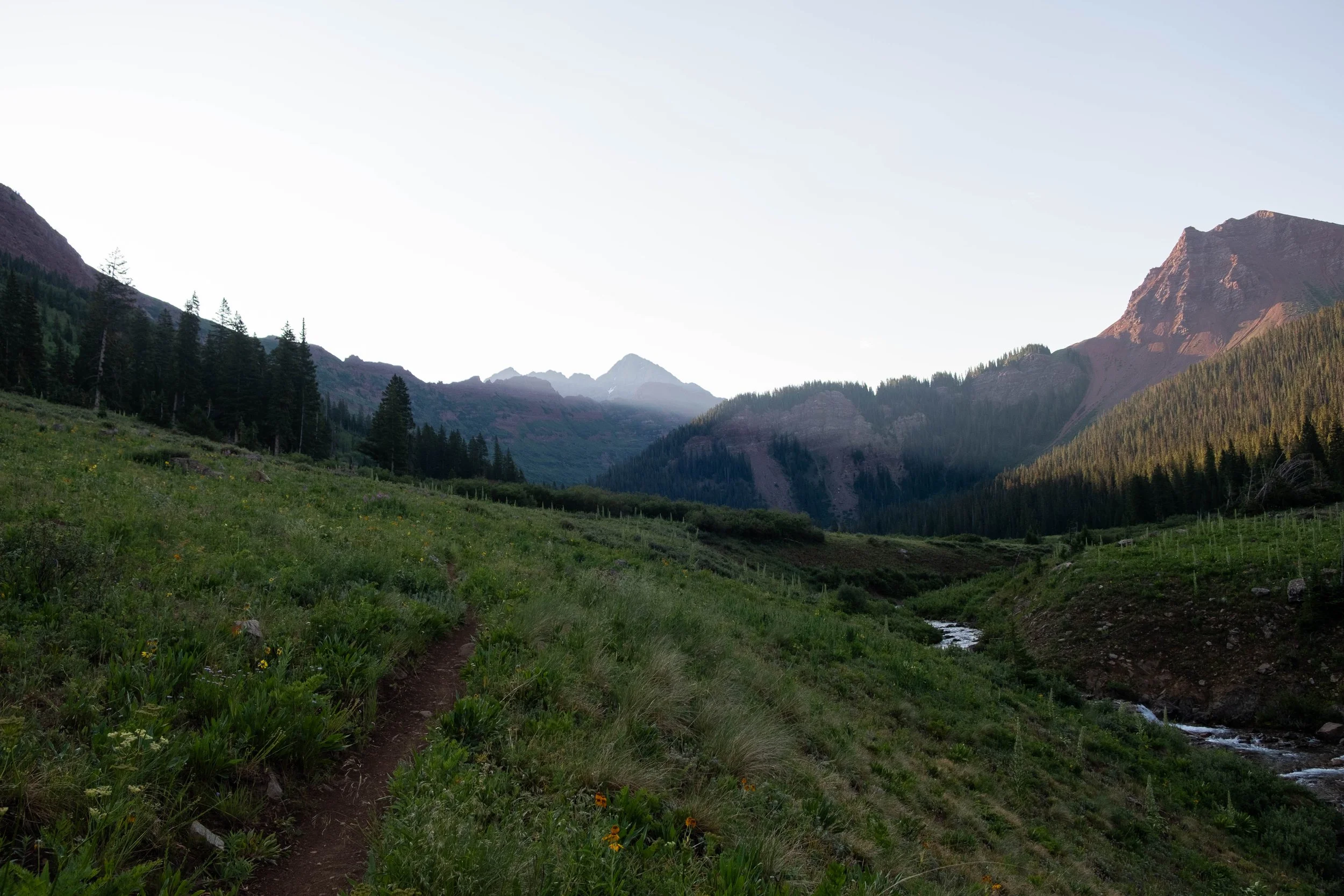
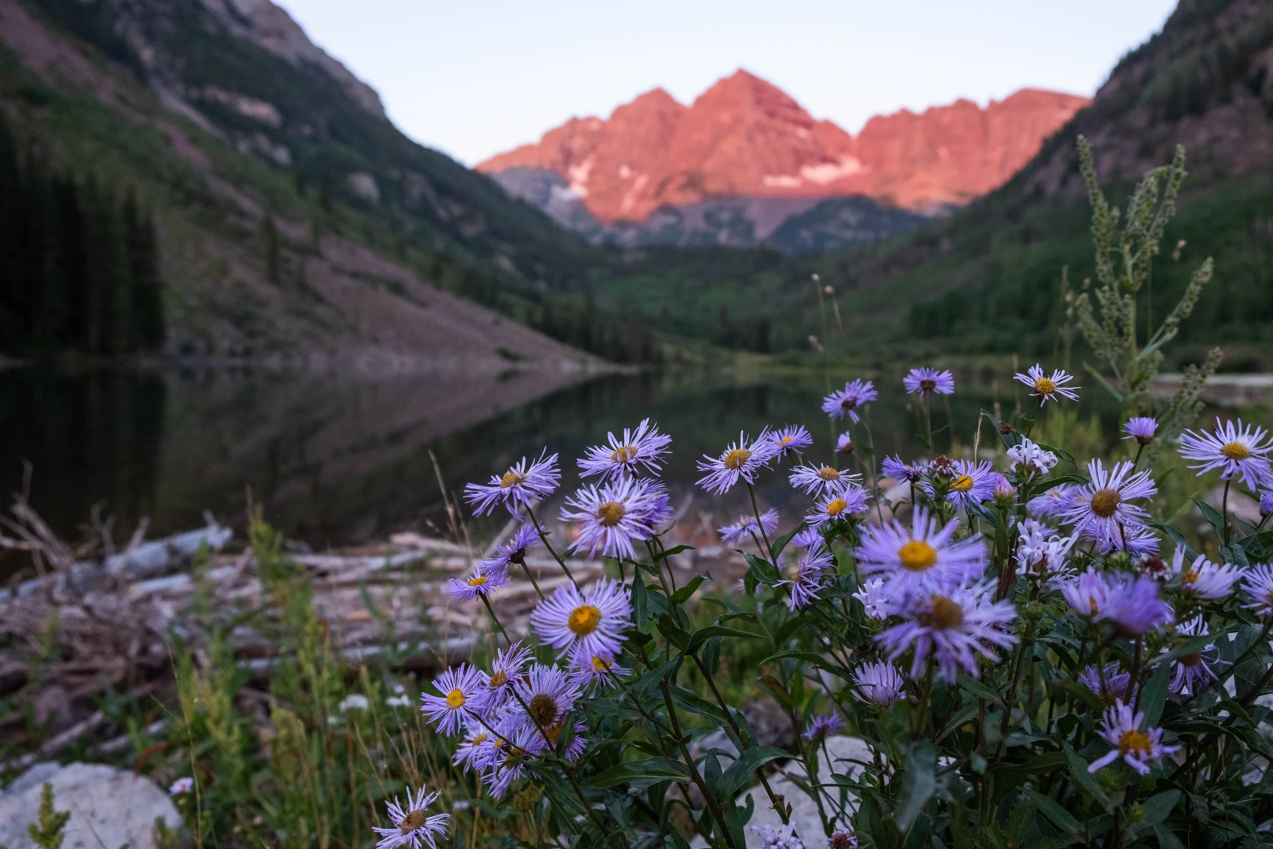
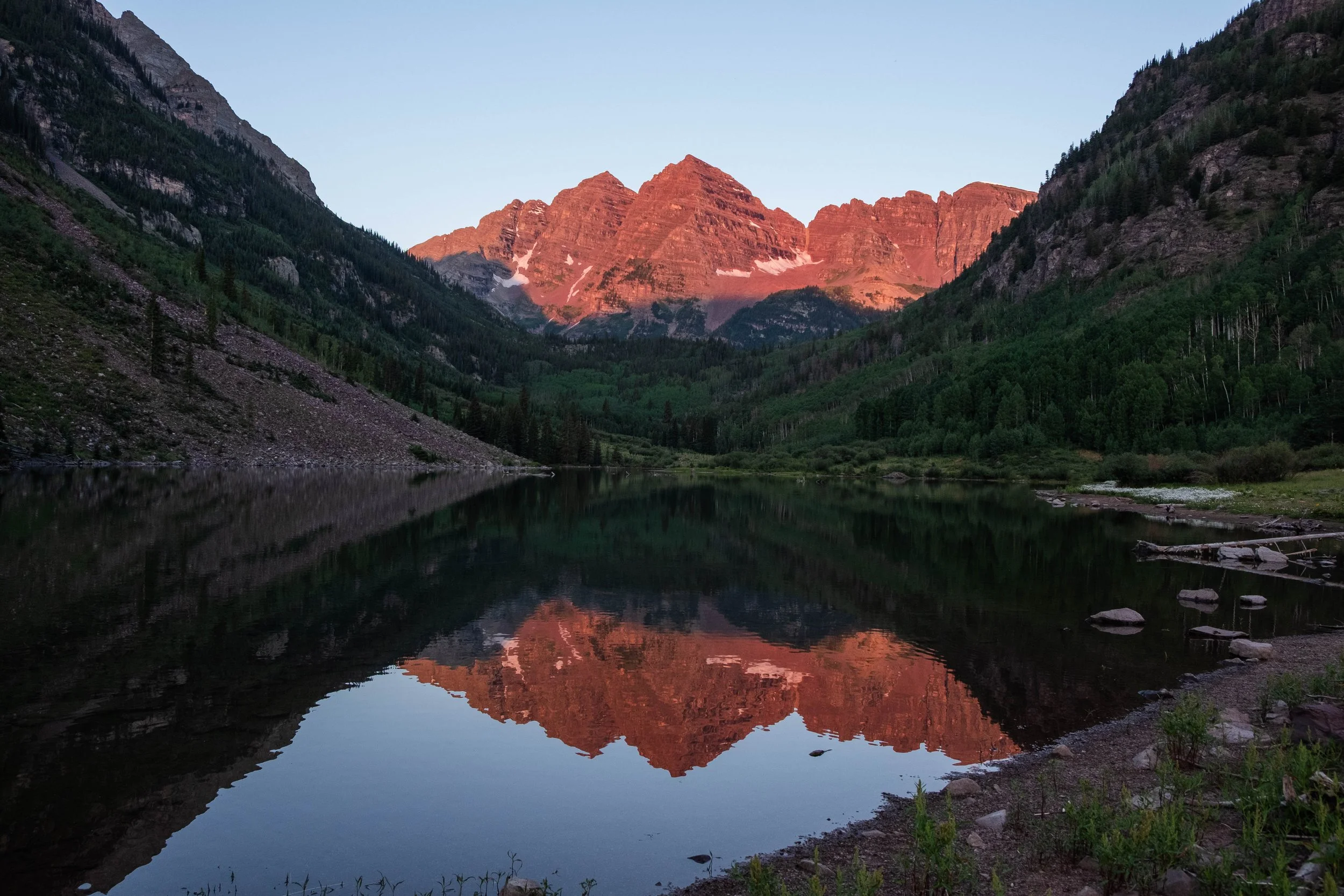
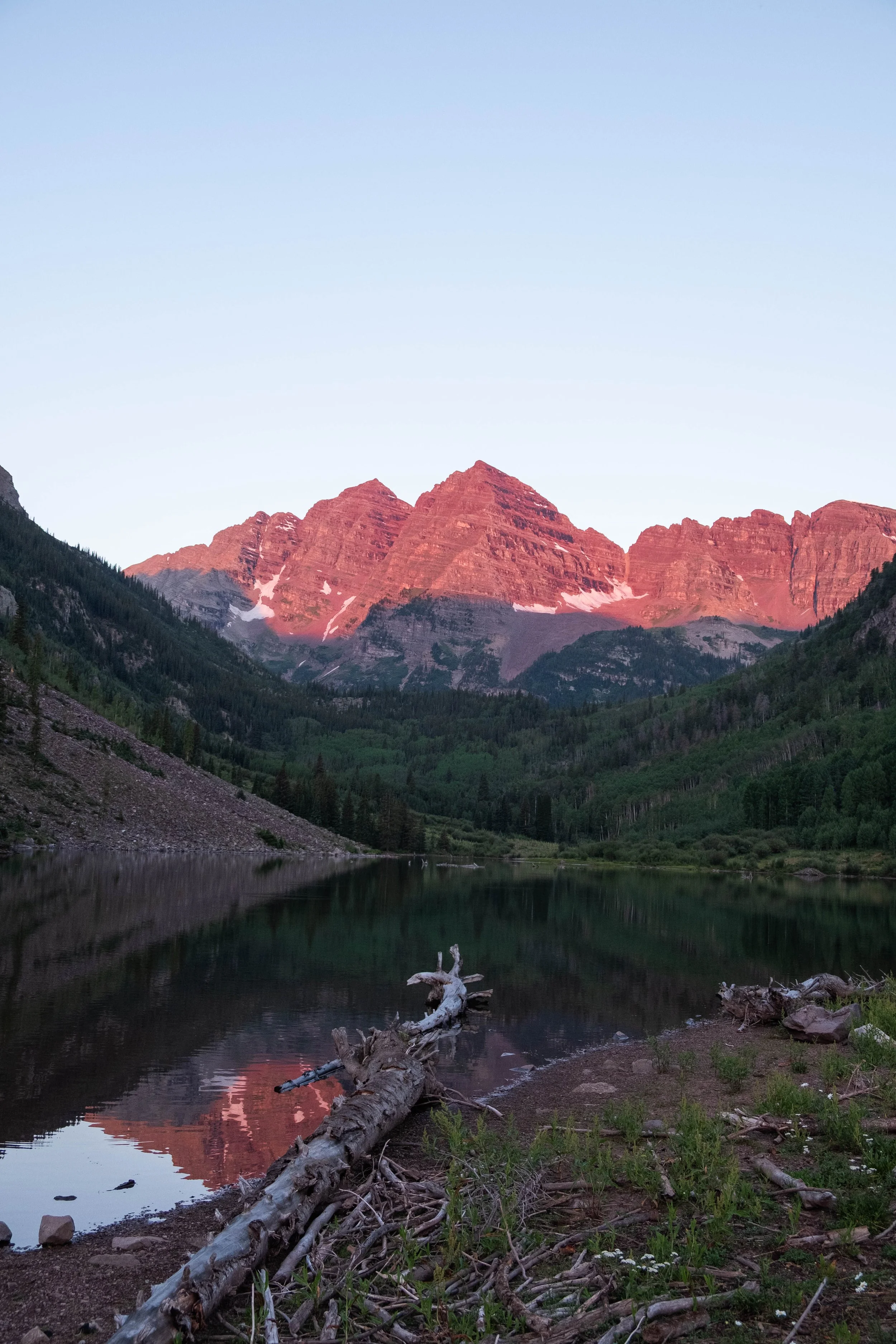
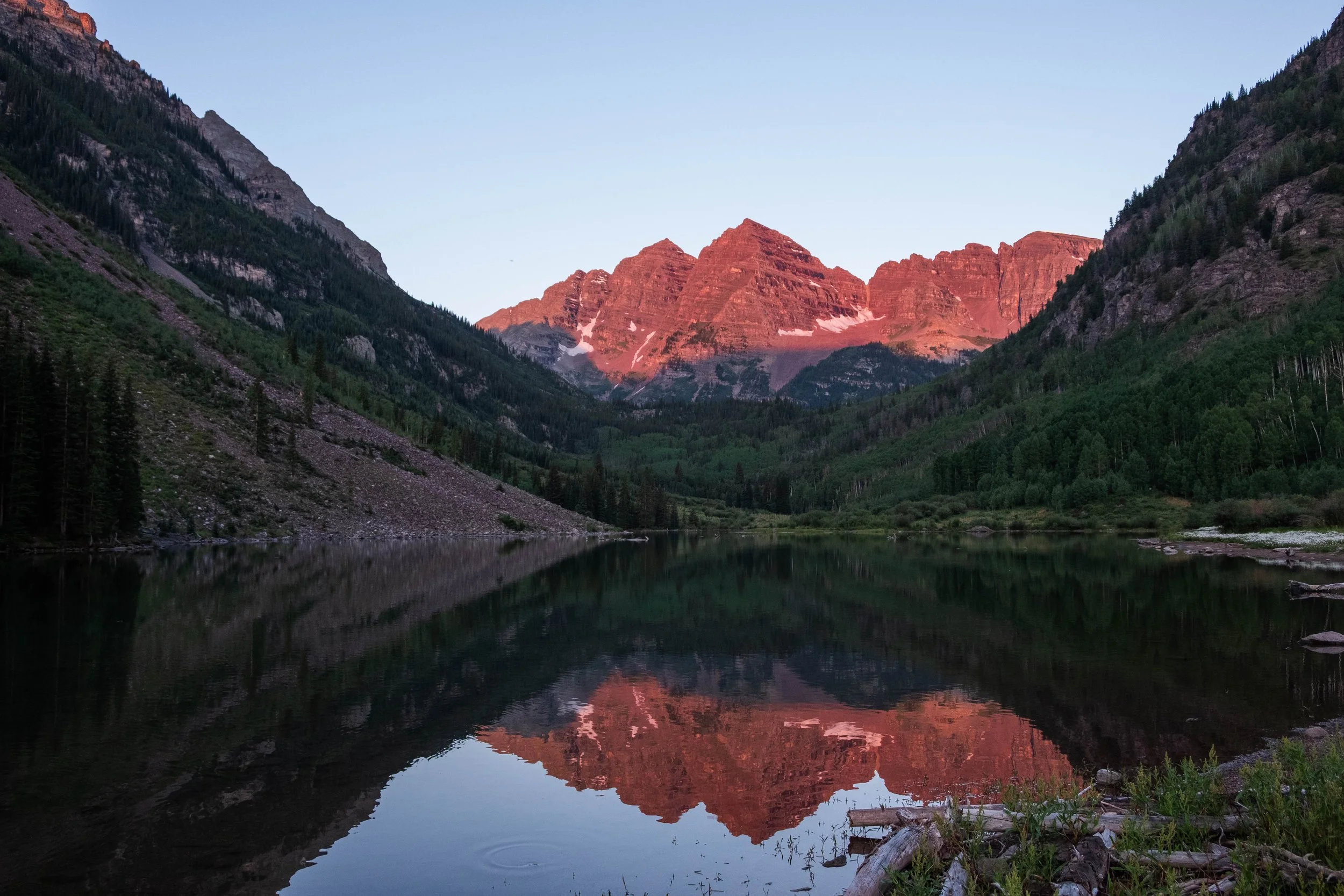
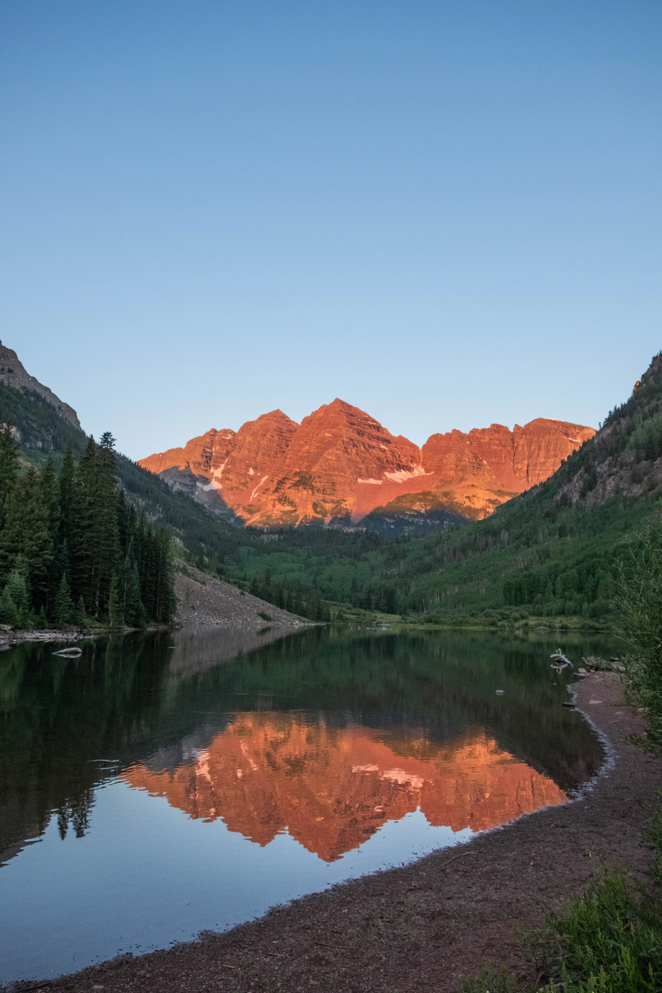
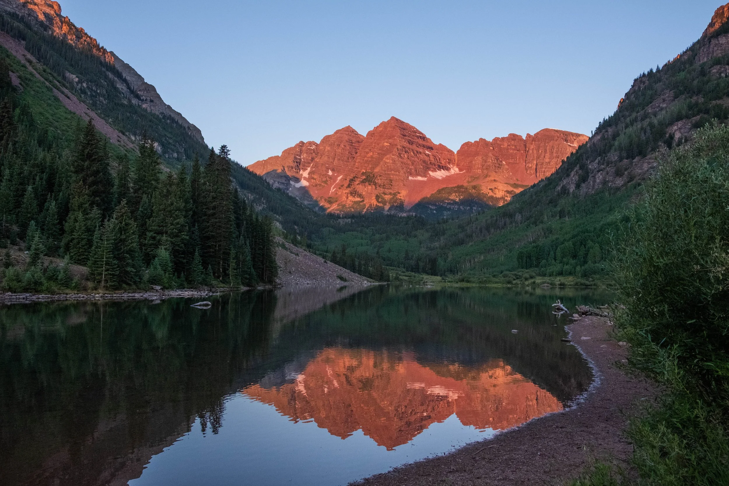
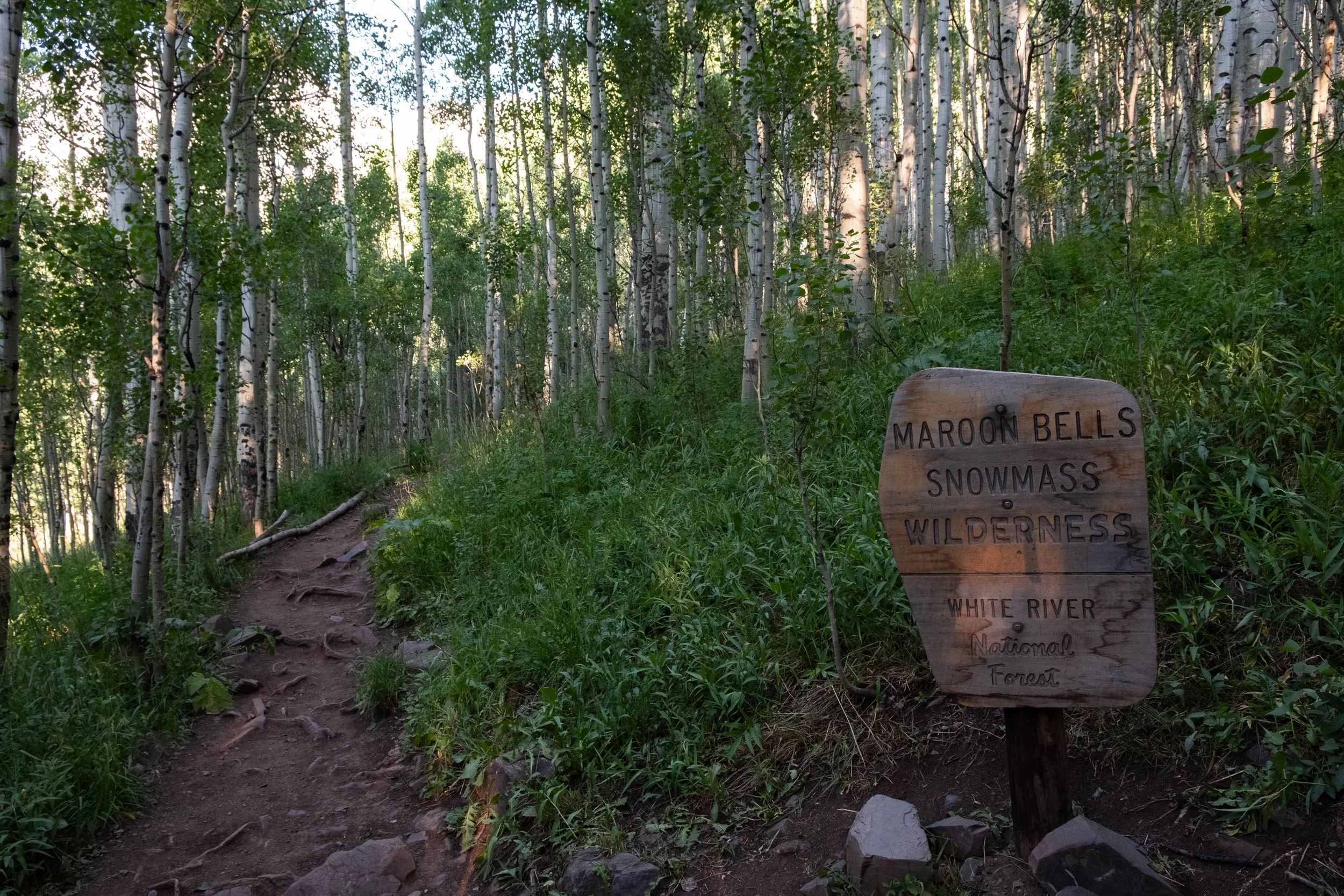
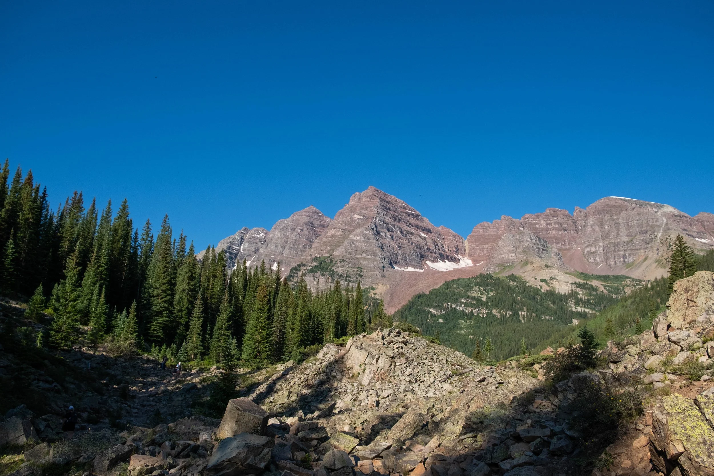
4:45am came quickly. We broke camp and were eating breakfast at Maroon Lake by 5:50am so we could catch the full sunrise. Although I’ve been to Maroon Bells probably six or seven times over the years I’ve lived in Colorado, I’d never spent a night in the area or made it there early enough to see sunrise. We were fortunate to be gifted a clear morning. A vibrant orange-red alpenglow suffused the twin peaks before us, contrasting with the shadowy hills framing them in a perfect U-shape. The family of foxes were out and about again, leading to a close encounter with the mother who was hunting for breakfast. We couldn’t bring ourselves to leave until the sun peeked fully over the hills behind us, so didn’t actually start the trail itself until close to 7:30am.
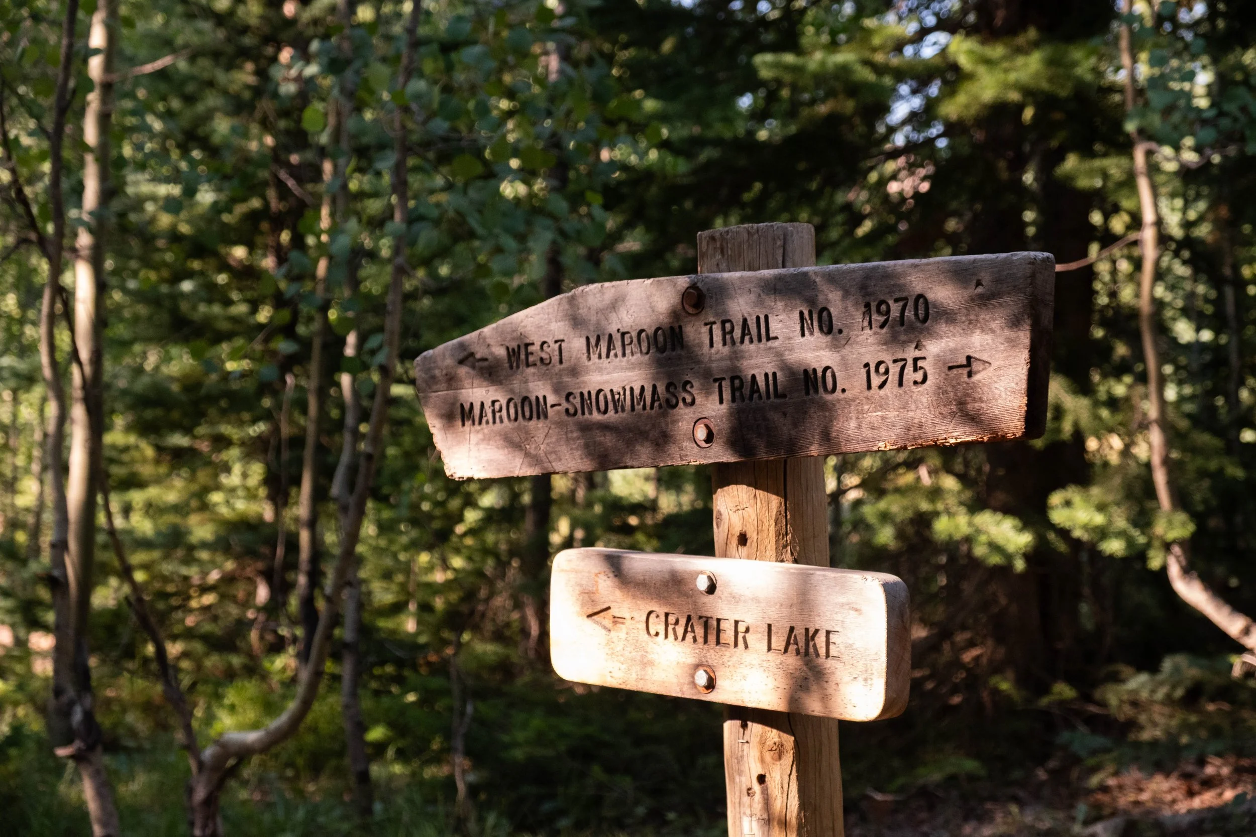
Most backpackers hike the trail clockwise (completing the passes in this order: West Maroon, Frigid Air, Trail Rider, and Buckskin), whereas trail runners typically go counterclockwise (completing the passes in the reverse: Buckskin, Trail Rider, Frigid Air, West Maroon). Why? While all four passes are tough, if you go counterclockwise, you tackle the two steepest ascents and descents right off the bat (Buckskin and Trail Rider), and save the two more gradual passes (Frigid Air and West Maroon) for the ending, a smart choice for runners who are tackling the full loop in one day. For backpackers, it’s often recommended to go clockwise to use the gradual passes as an ease-in/warm-up and to ensure your pack is the lightest possible when taking on the two final big passes since you will have consumed more of your food.
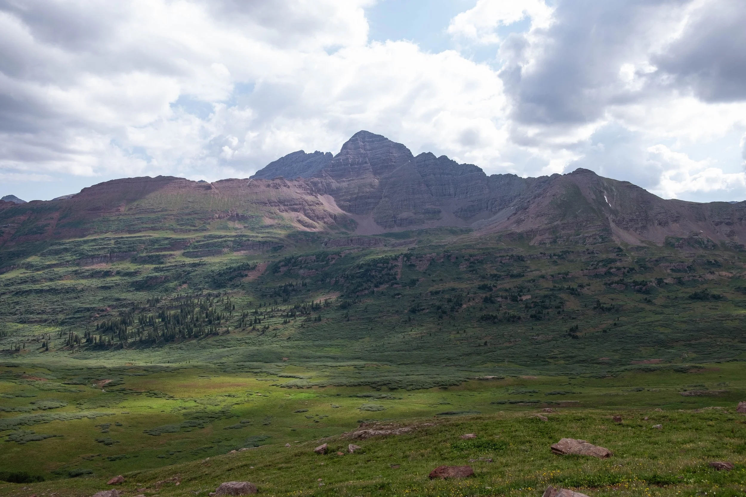
We knew all this, and yet… we still made the decision to hike counterclockwise with the trail runners. Our rationale was that (a) we weren’t carrying that much food since we were out there for just one night and (b) we thought it might be smart to get the two hardest passes over with while our legs were fresh. Now that we’ve actually done the loop, we better understand that none of the passes are “easy,” and whichever way you go has pros and cons. If I did it again, I would try it from the other direction since I think the views do get progressively more dramatic and impressive from a clockwise approach. But either way, the loop will be challenging, the views will be gorgeous, and your feet will be tired.
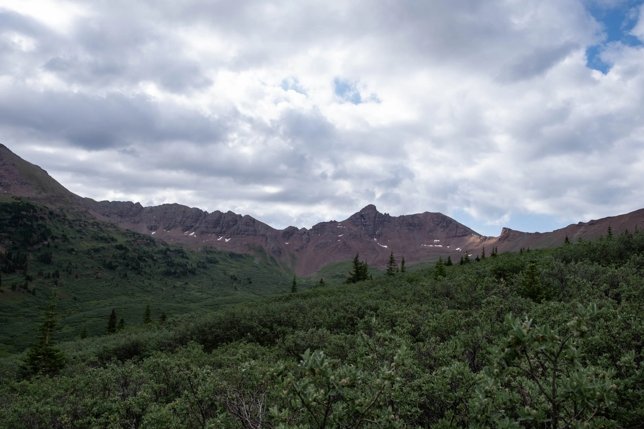
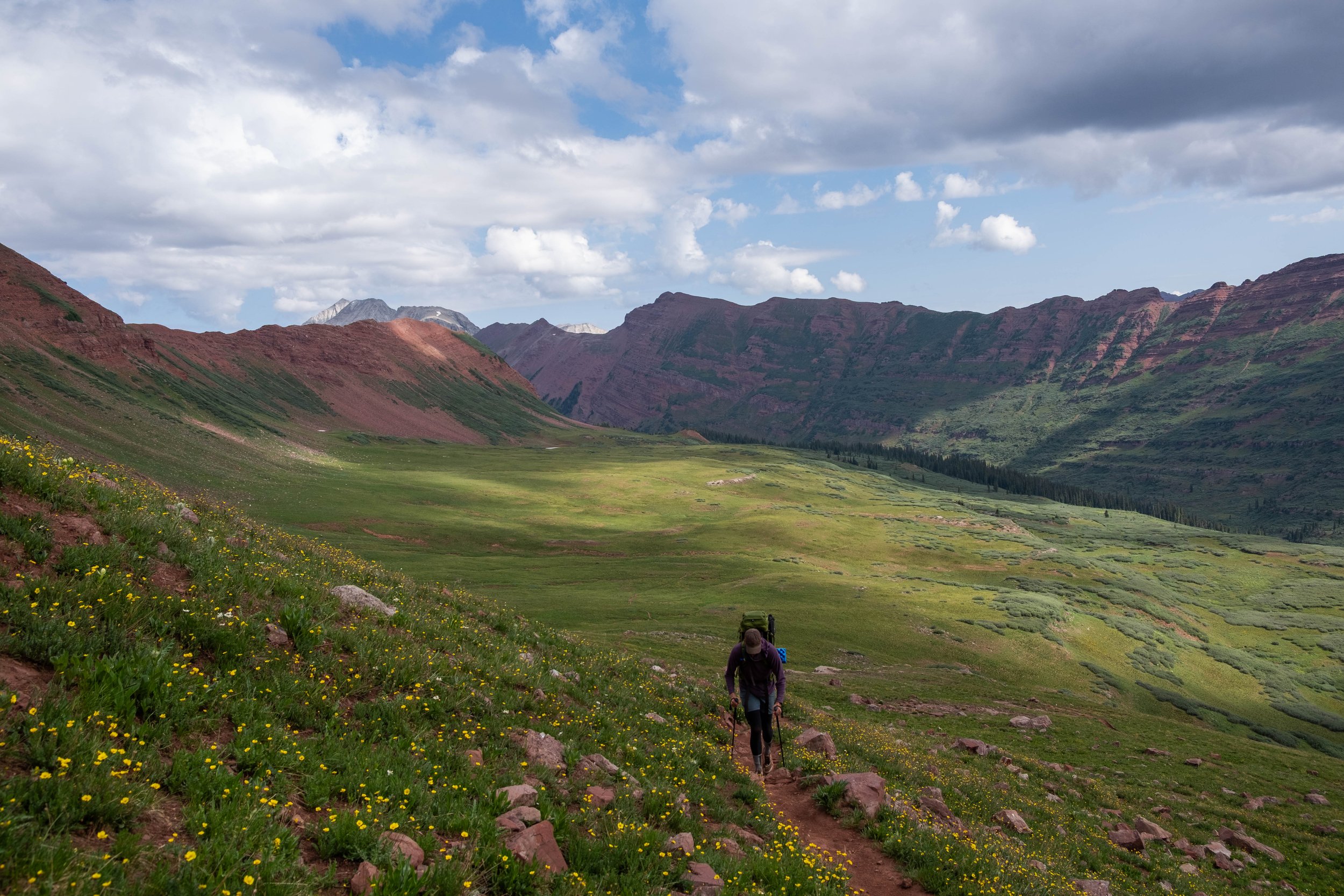
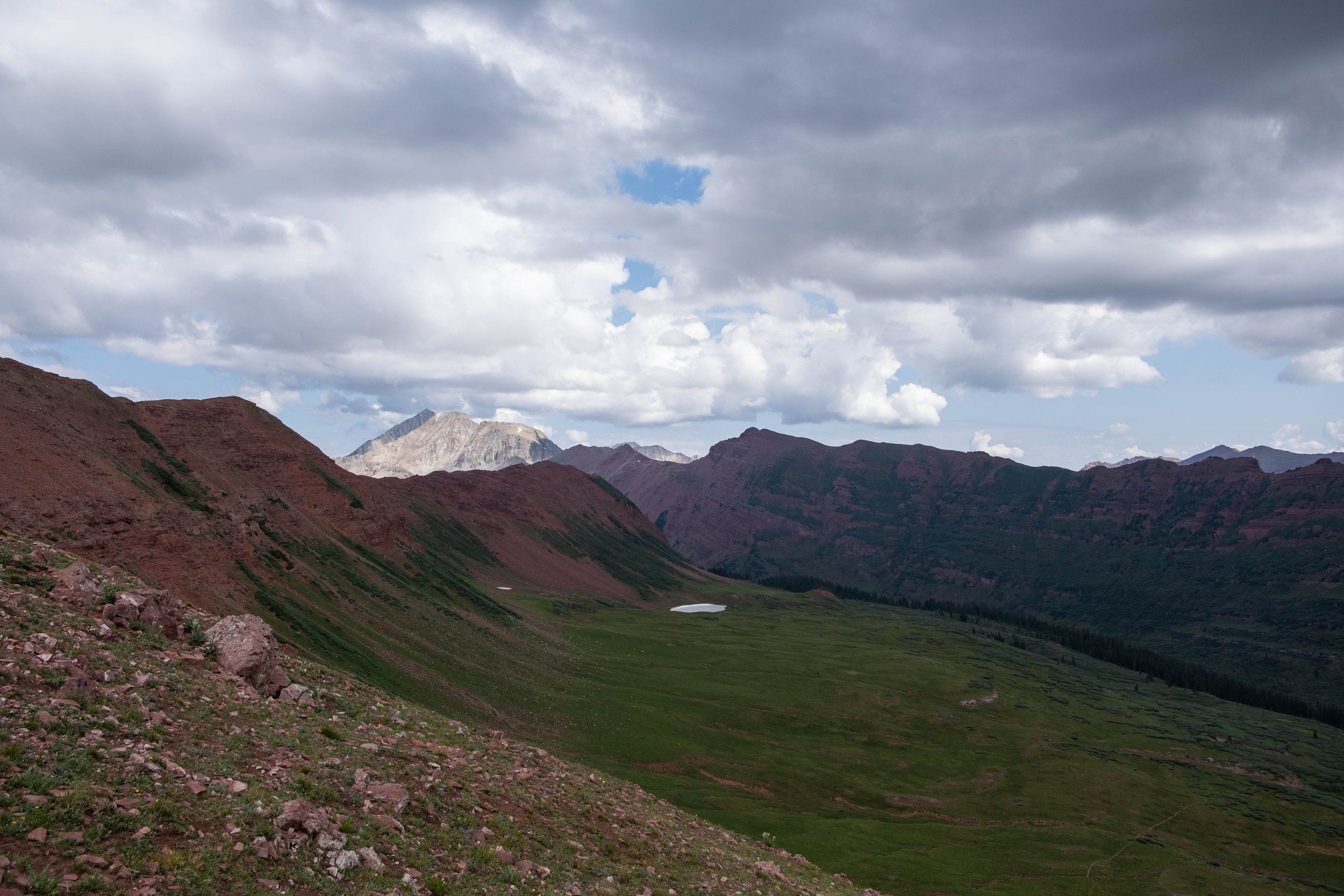
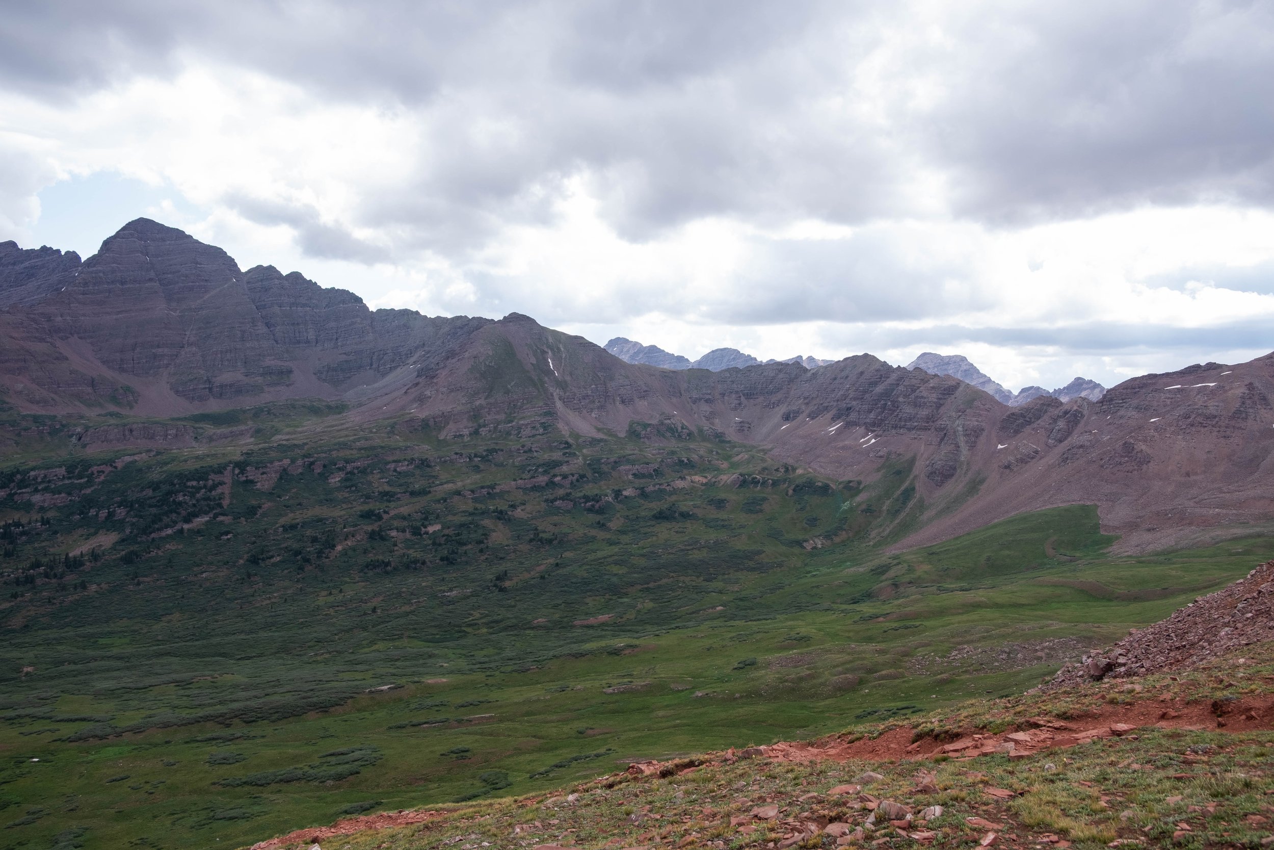
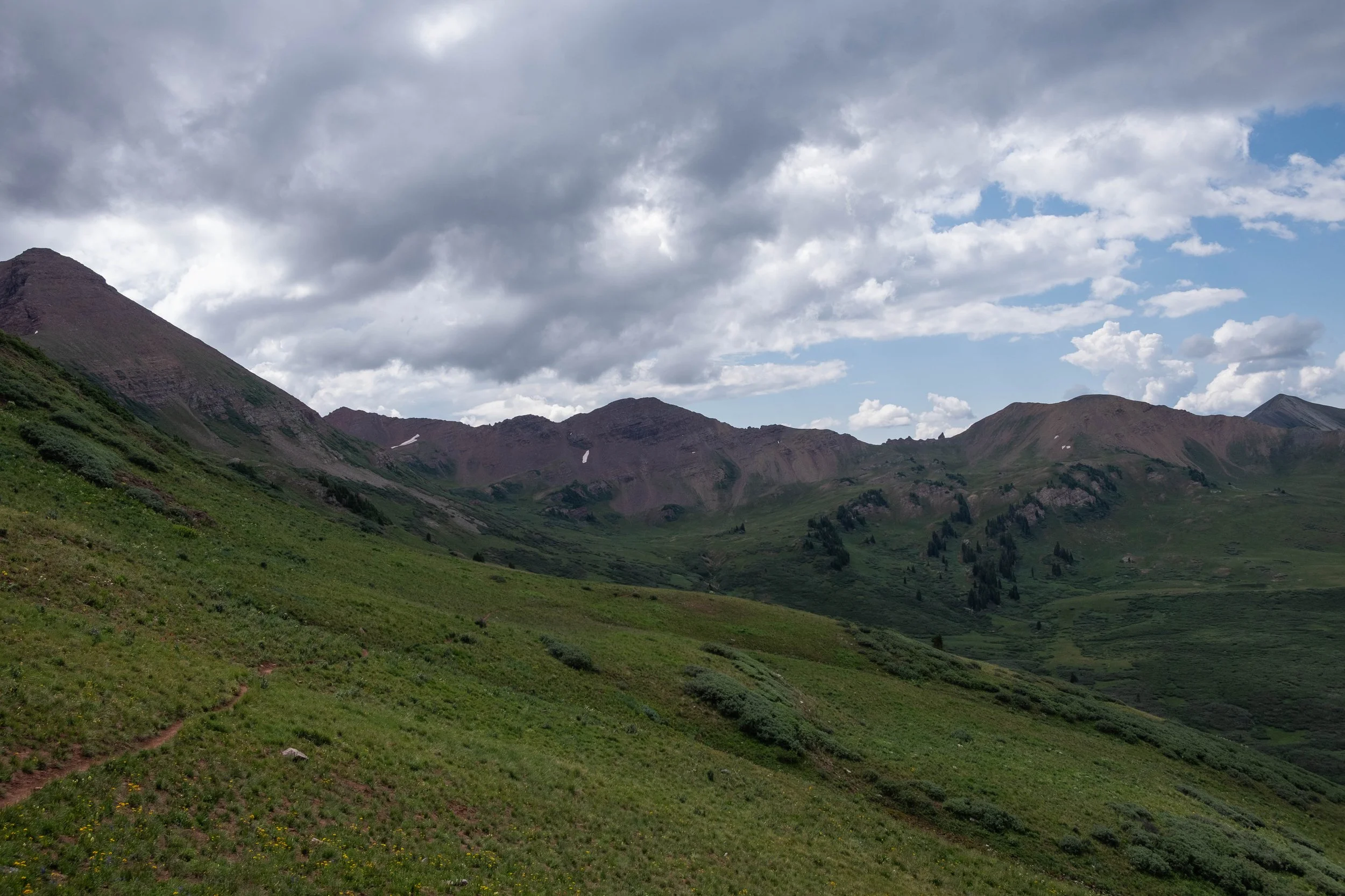
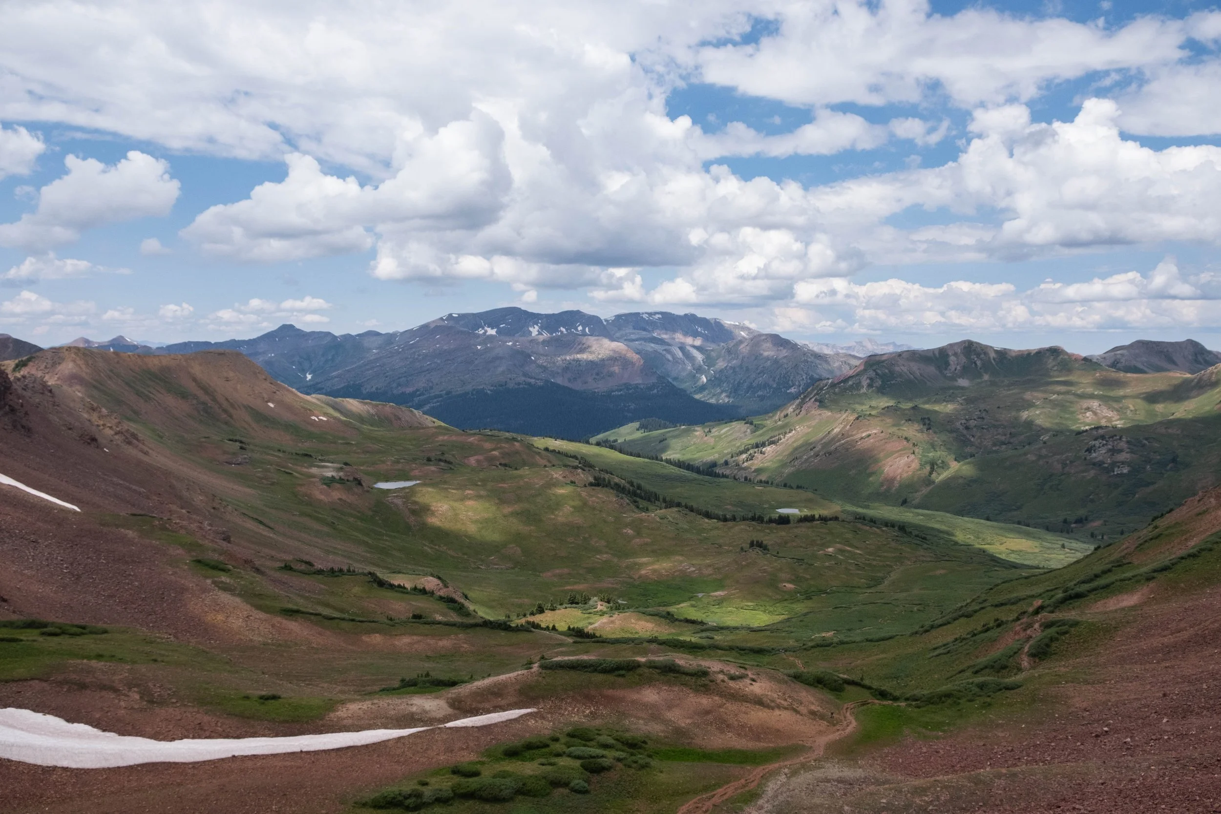
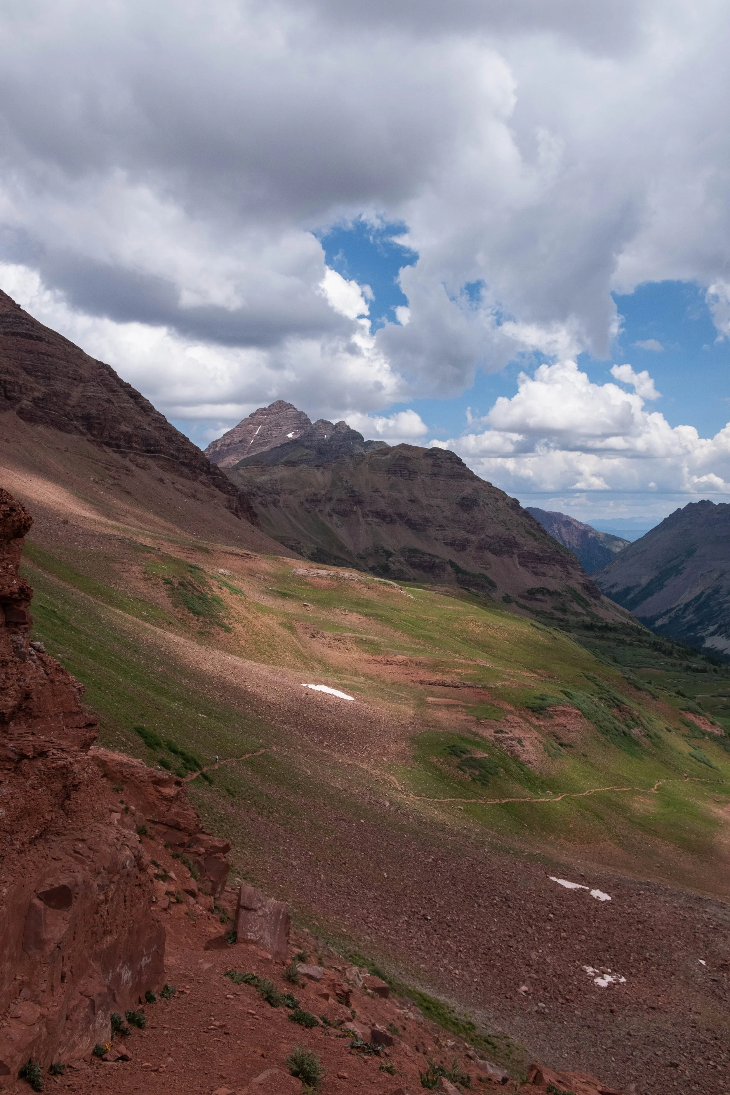
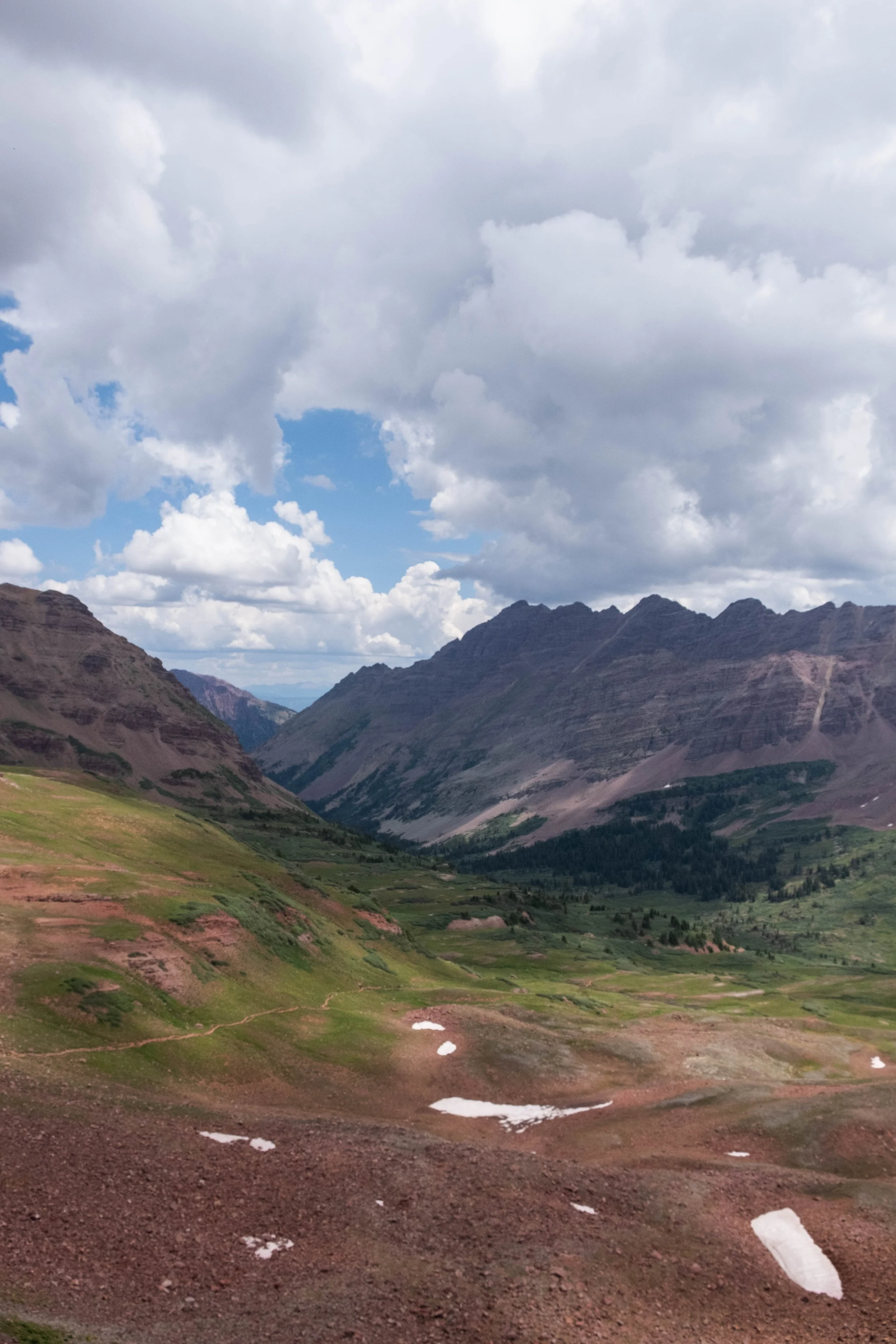
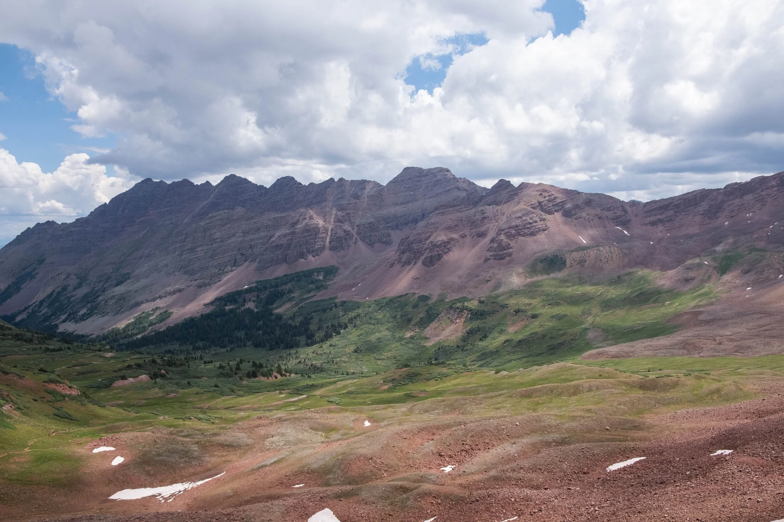
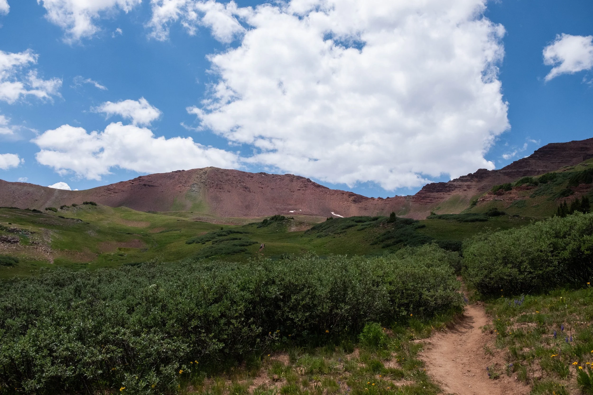
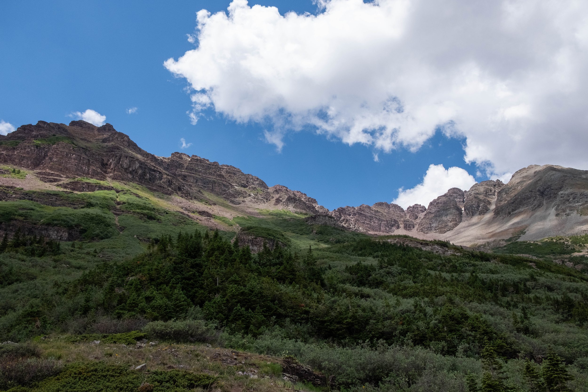
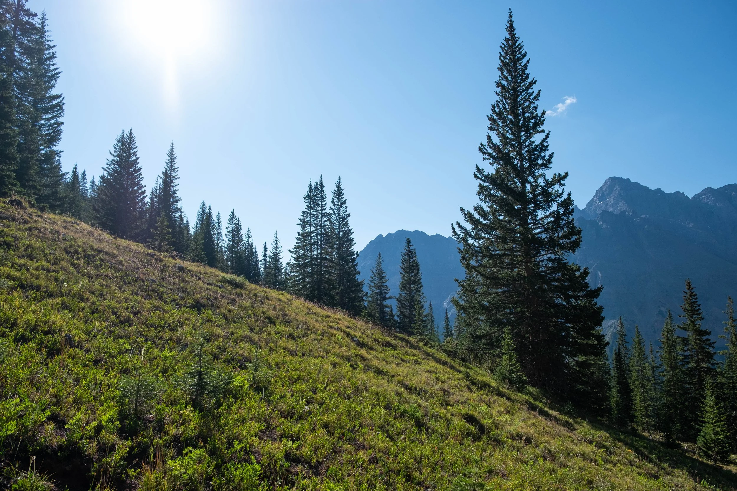
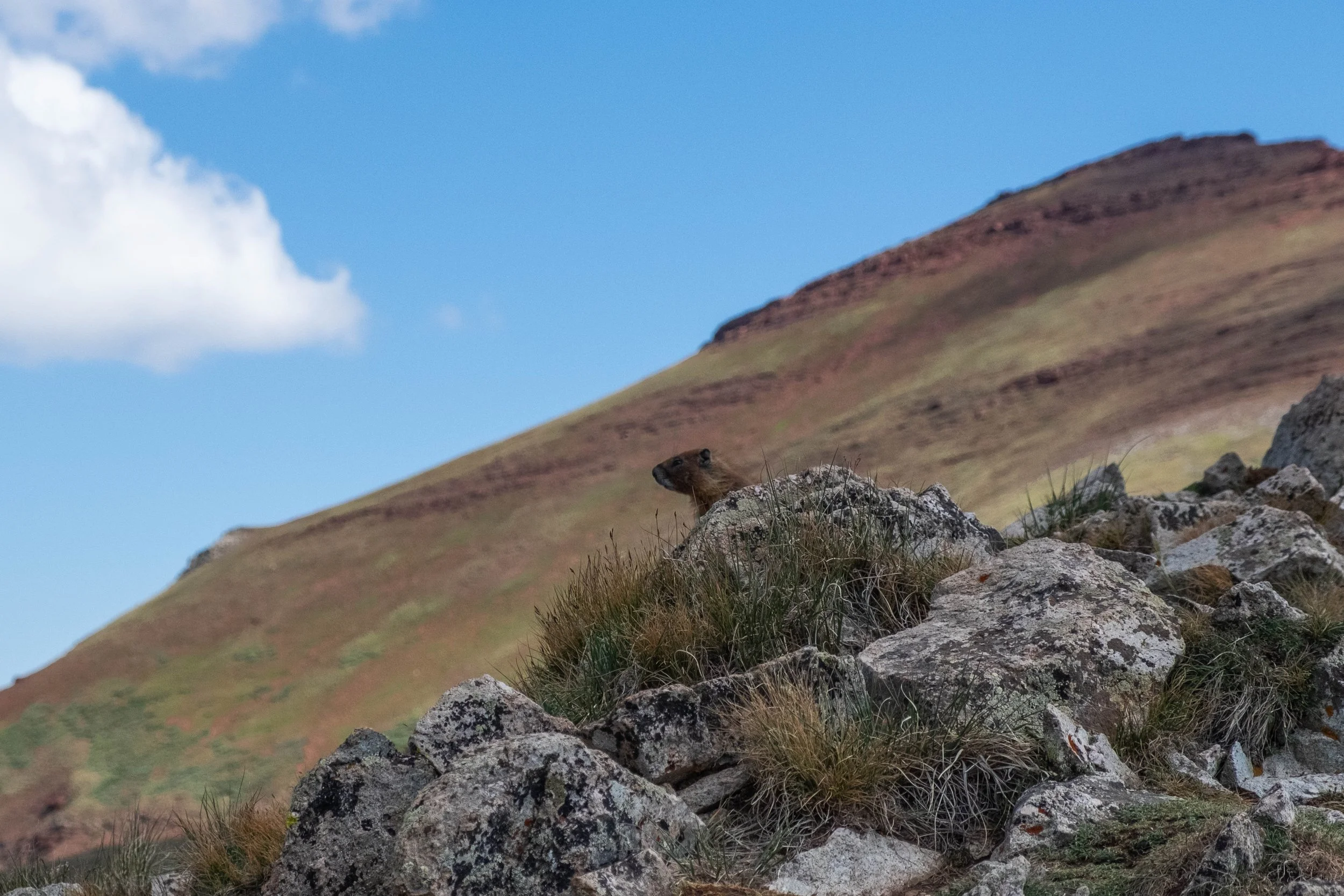
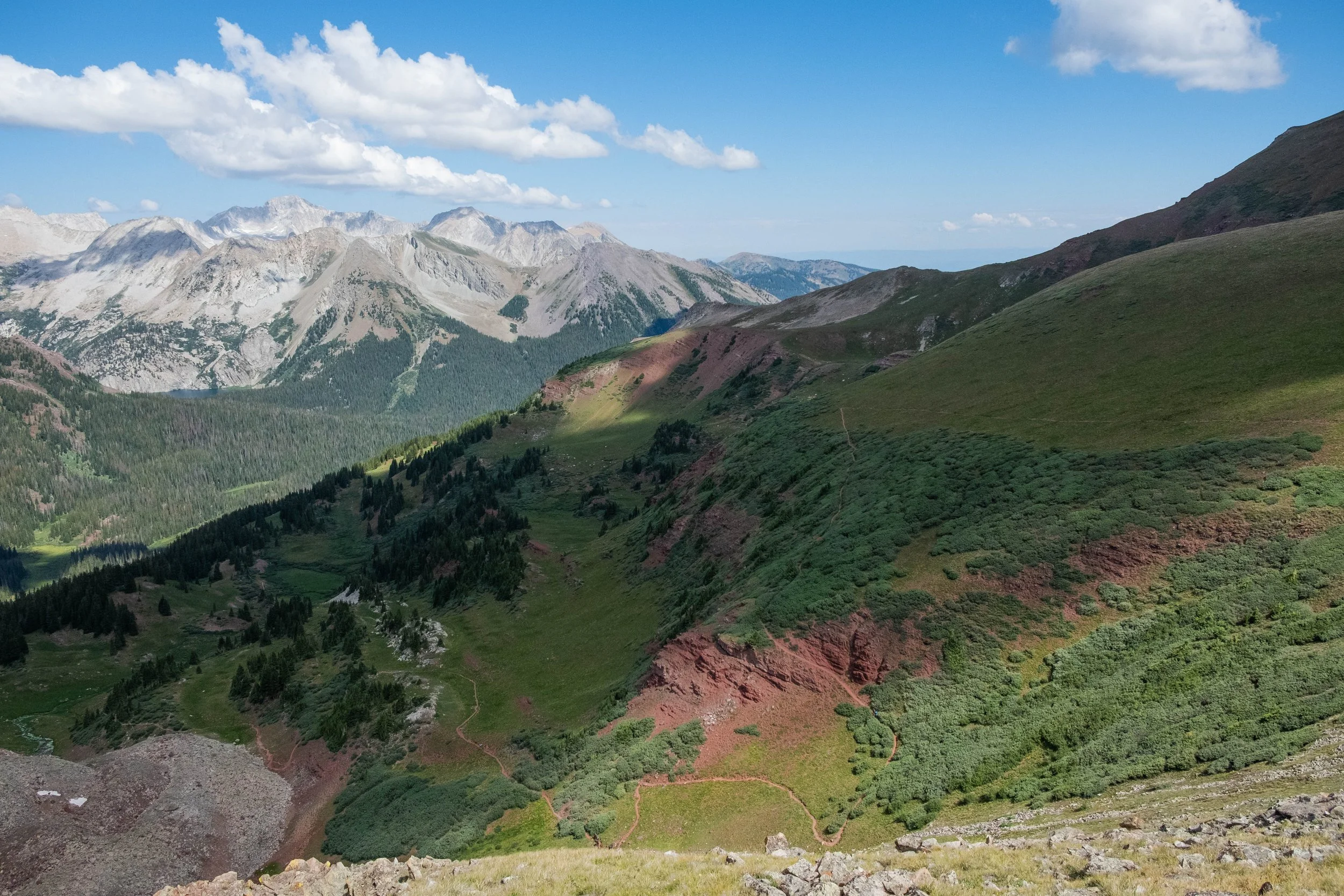
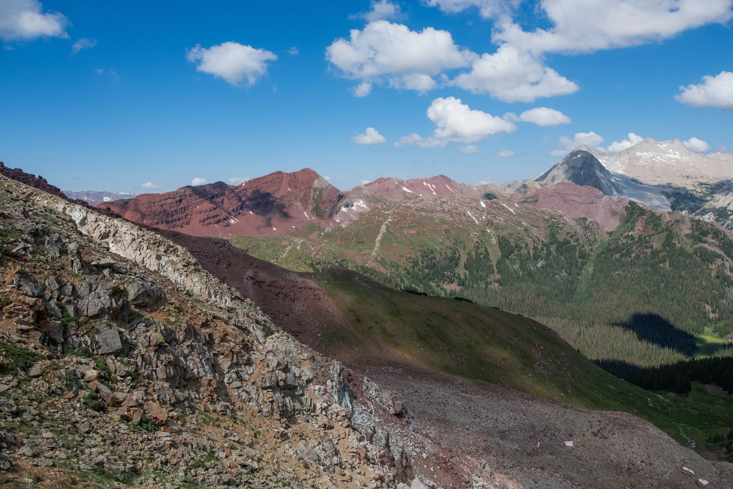
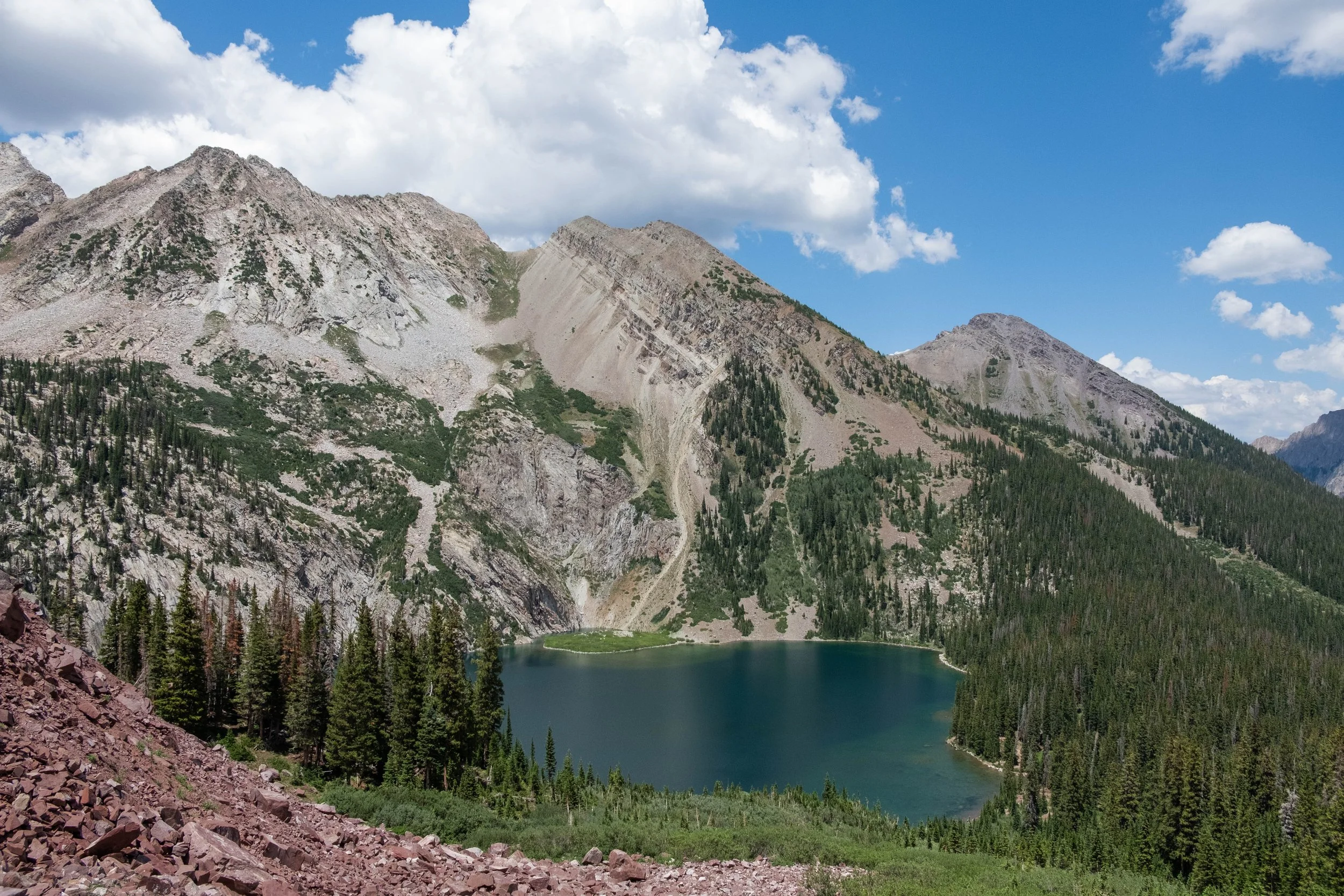
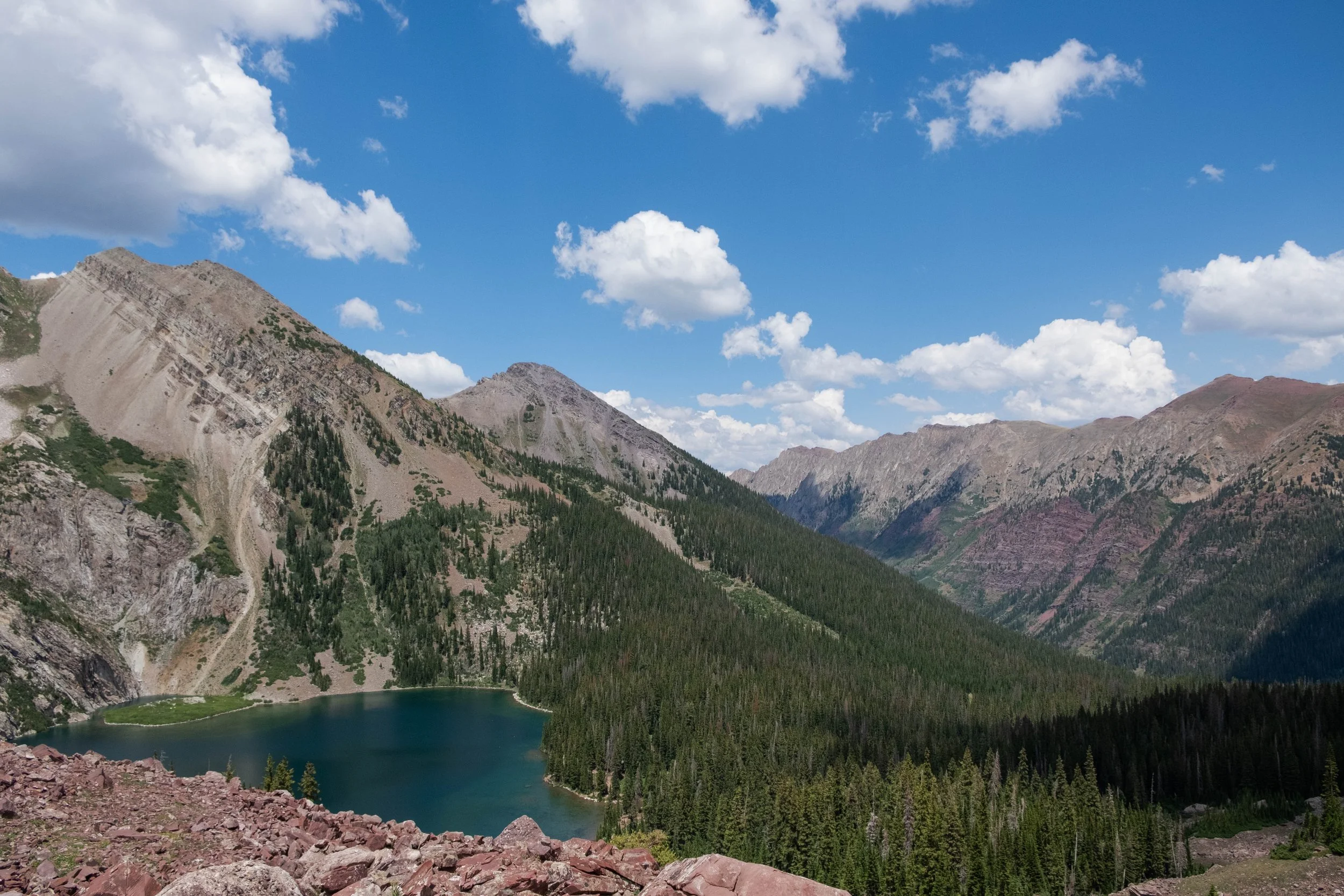
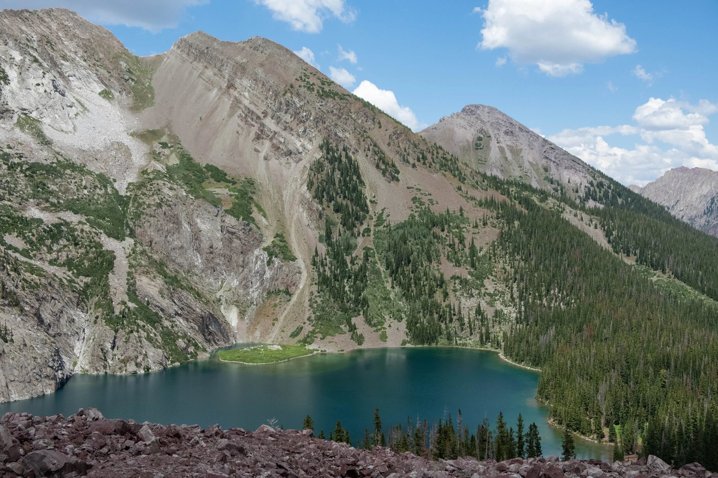
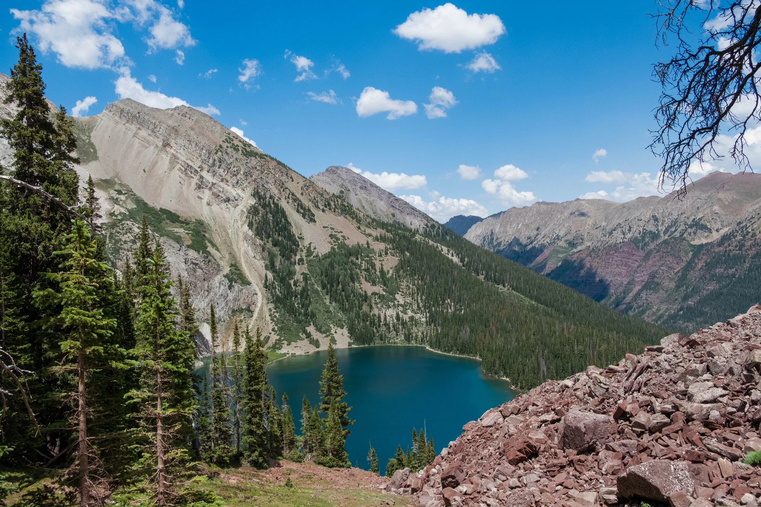
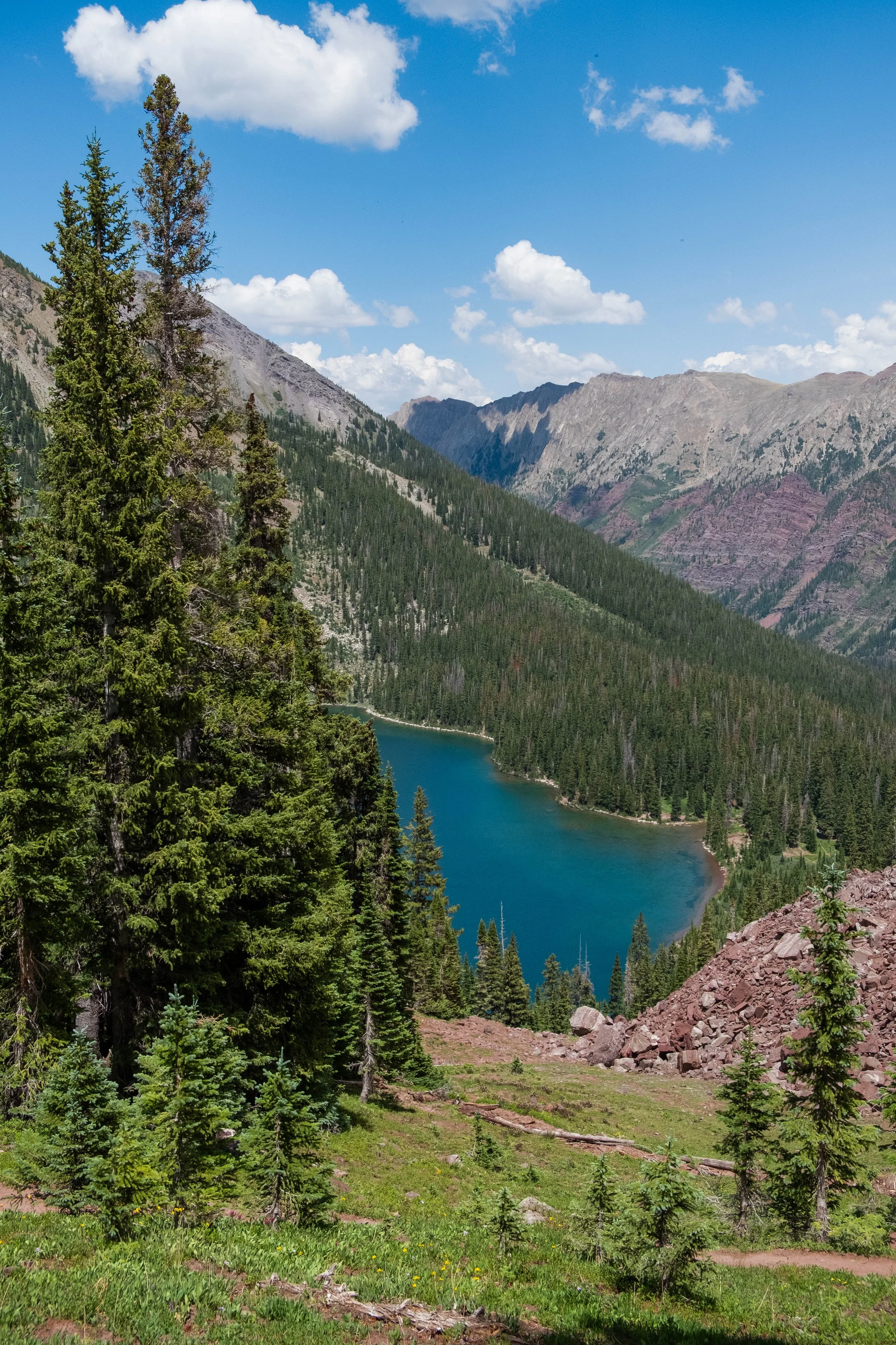
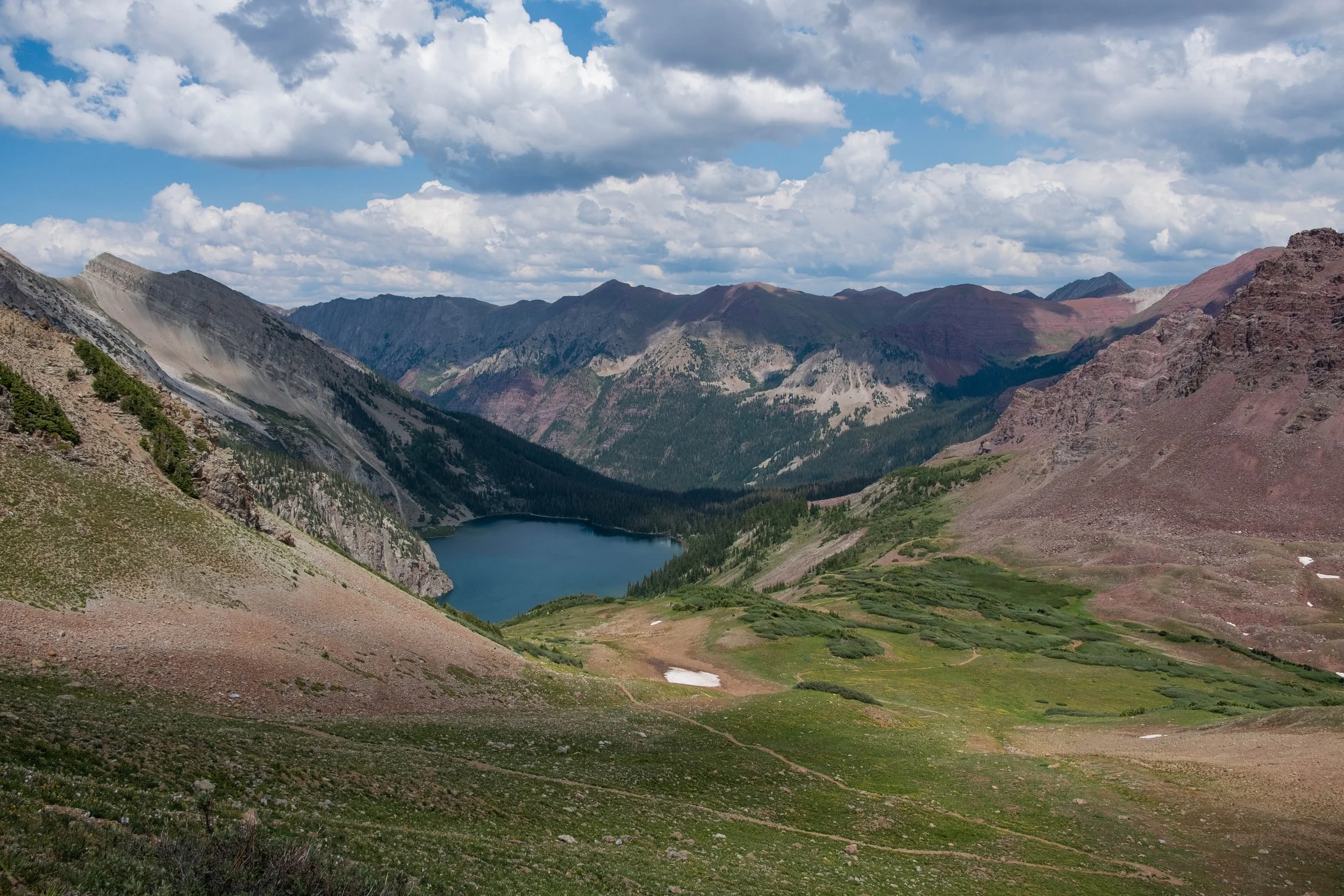
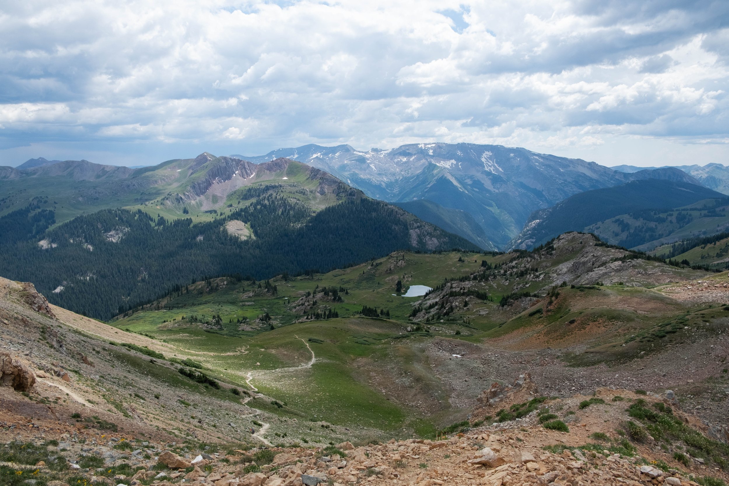
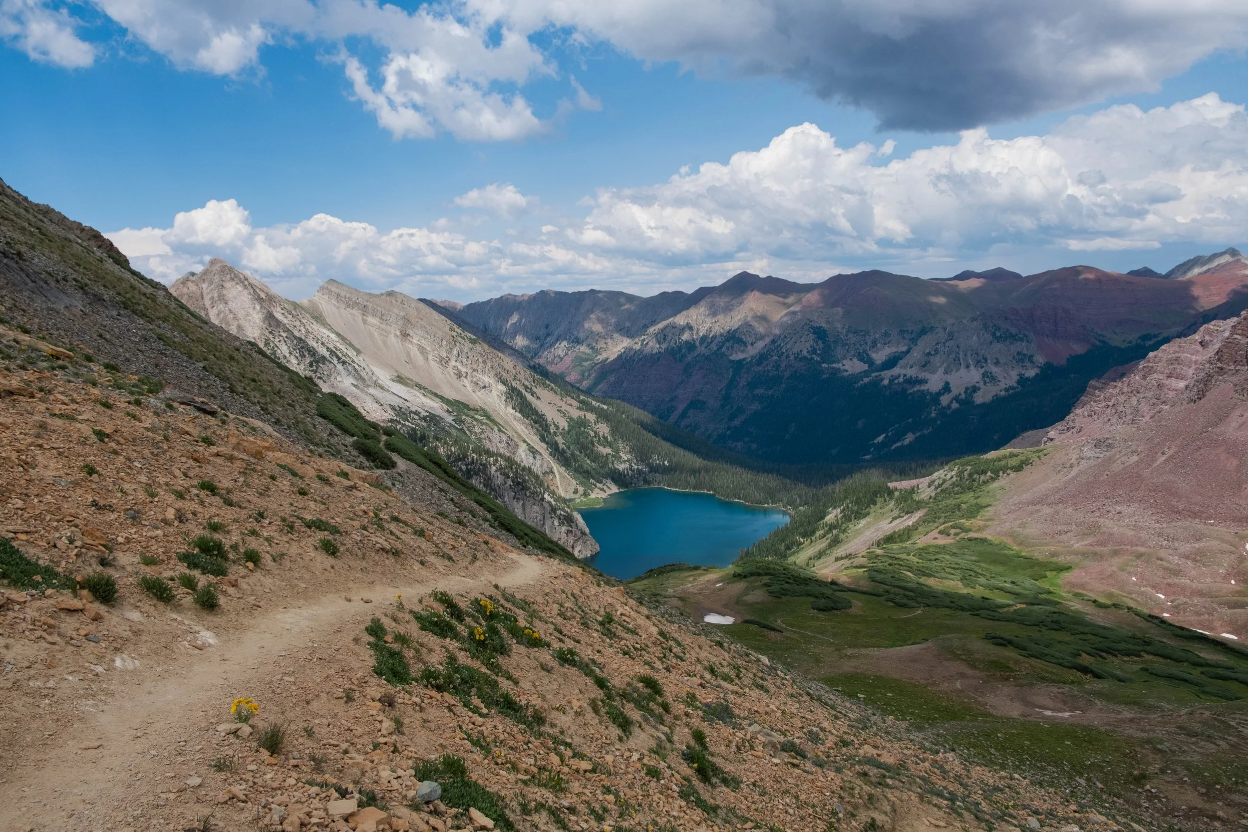
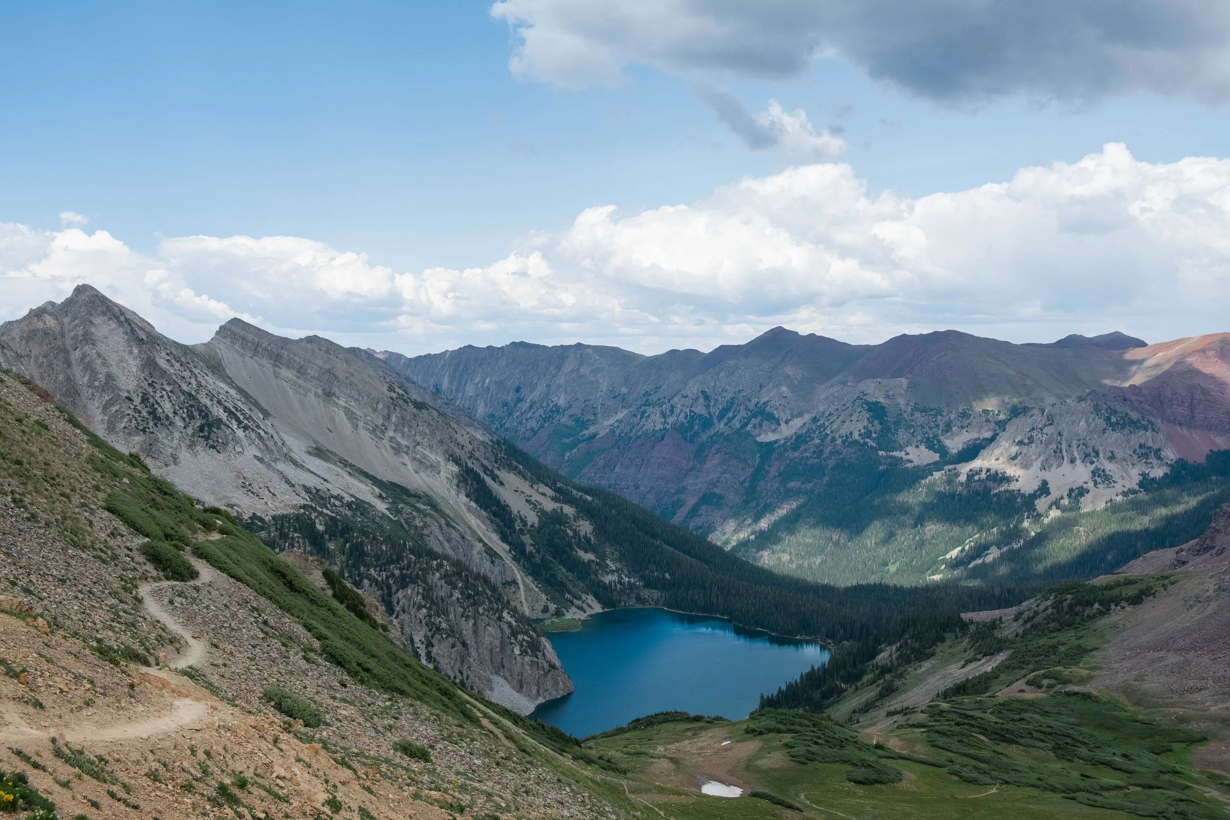
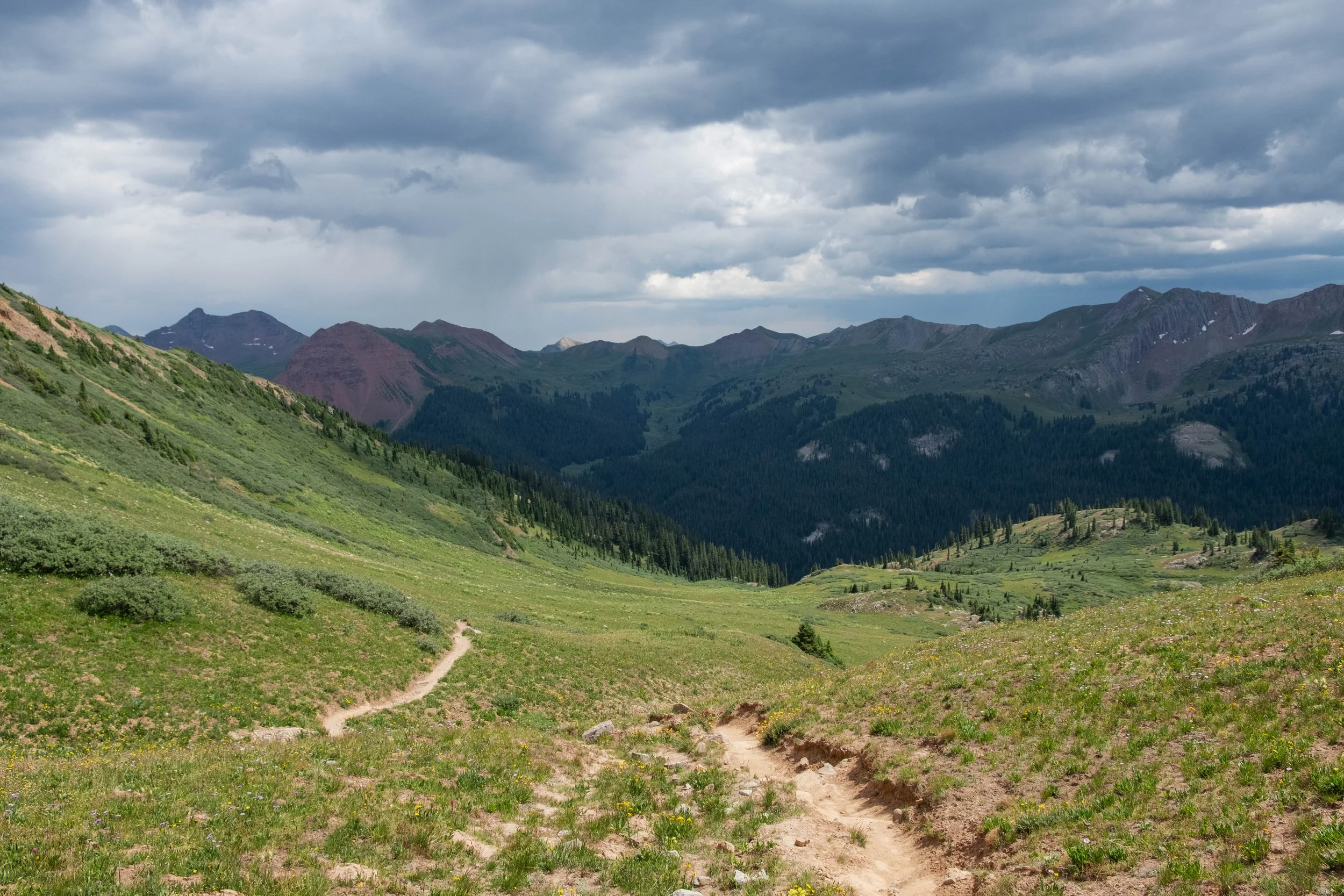
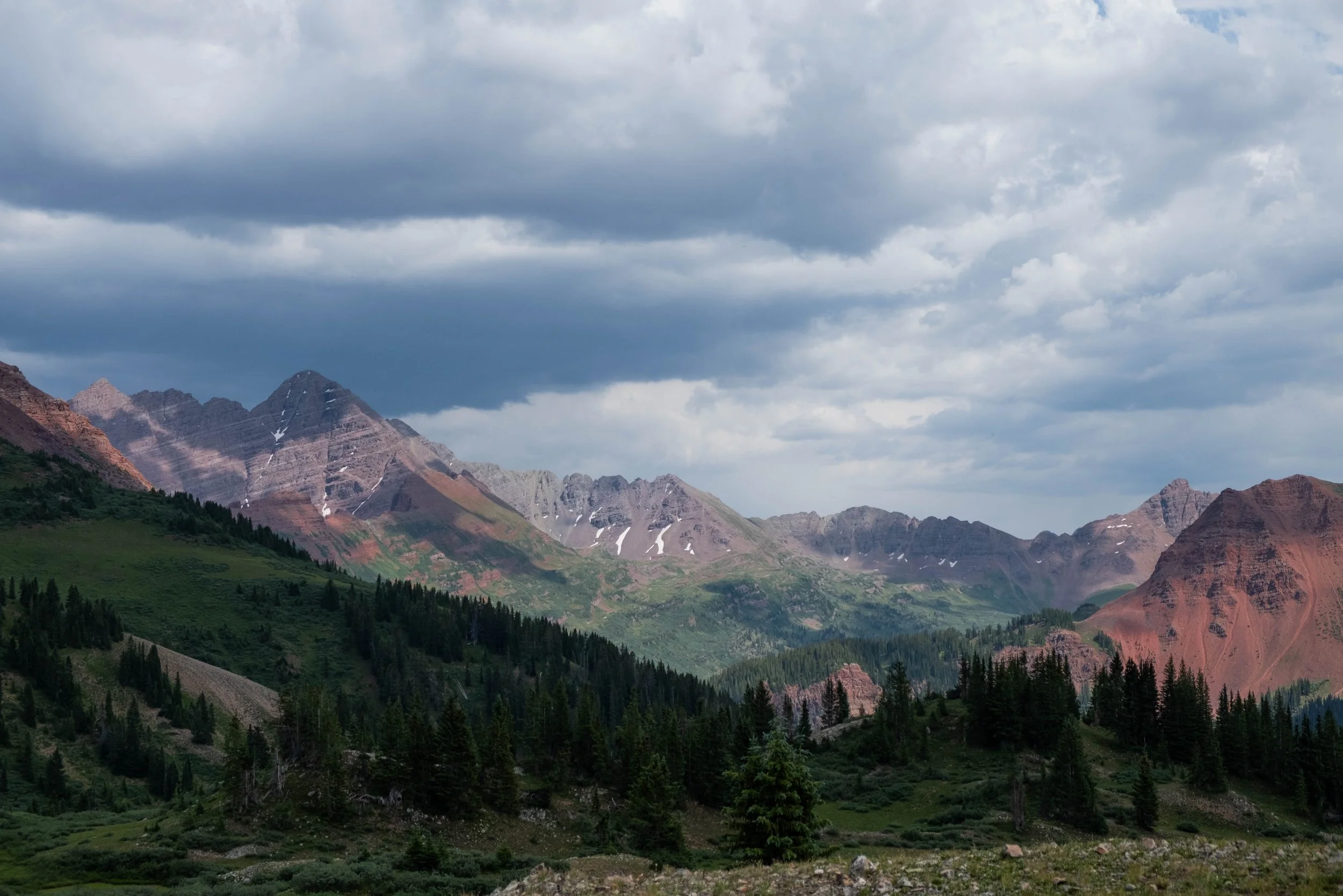
We reached the top of Buckskin Pass in the mid-morning and spent our break fending off aggressive marmots who were more than a little interested in our snacks. The views from this first pass are breathtaking and reminded me a bit of the Alps on the Tour du Mont Blanc. We could see Snowmass Lake glistening far off in the distance, a key waypoint on our way to the second pass. We strapped our packs back on and began the descent.
This part of the hike was much longer than I had been picturing from research about the trail. The descent itself doesn’t feel that long, but the length of time it took us to reach Snowmass Lake surprised me. It didn’t help that I also tripped on a rock and wiped out pretty badly about 8 miles in to the day, cutting open both of my knees and requiring a lengthy stop to clean and bandage them. While this was decidedly not ideal for the remaining 20 or so odd miles we had left to go, I remain deeply grateful that I didn’t break a bone, severely damage my knees, or break my camera. Yet another reminder to bring a satellite phone, just in case!
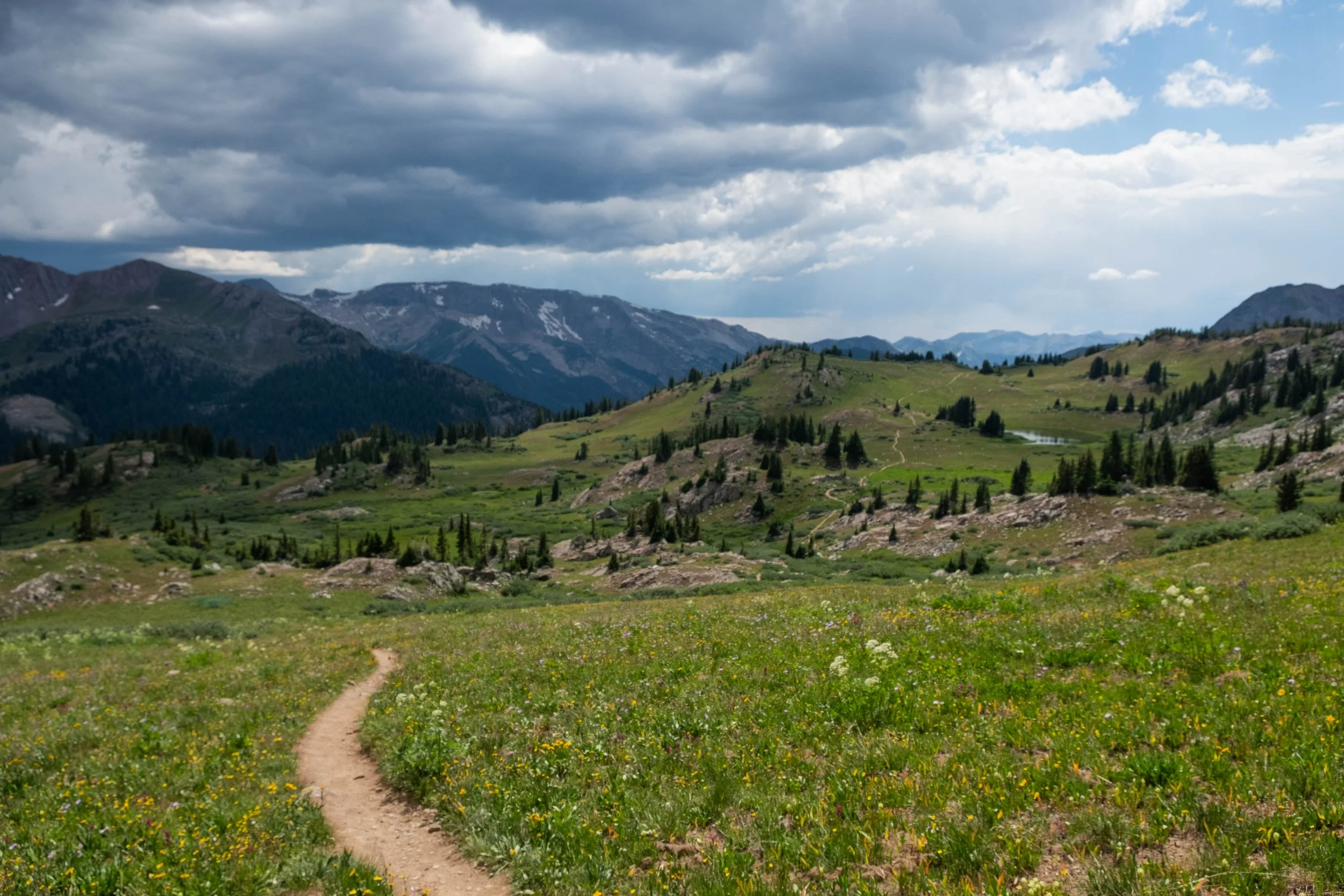
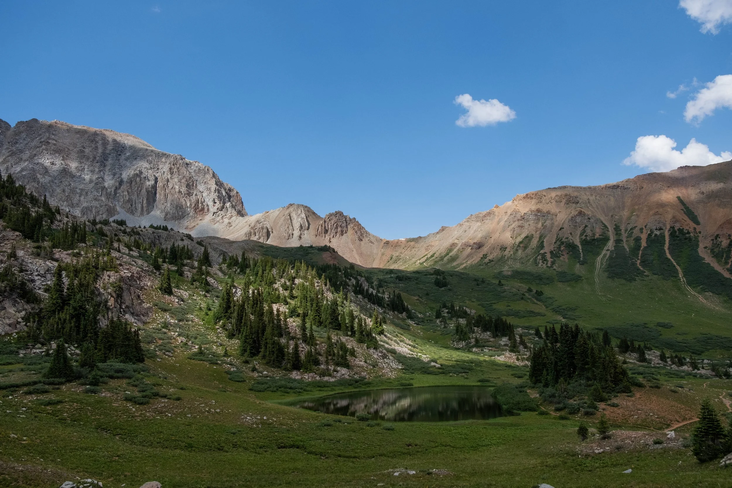
We made it to Snowmass Lake around 1pm, later than either of us wanted. We still had to climb a second full pass and at this point in the summer, monsoon rain and thunderstorms are a big risk after noon and almost a certainty after 3pm. This was the part of the trip where I most regretted not being able to secure two nights of permits. It was a bit sad to not stay longer at this beautiful spot. Nevertheless, after a short break, some snacks, and fresh water in our bottles, we strapped on our packs and set off for Trail Rider Pass.
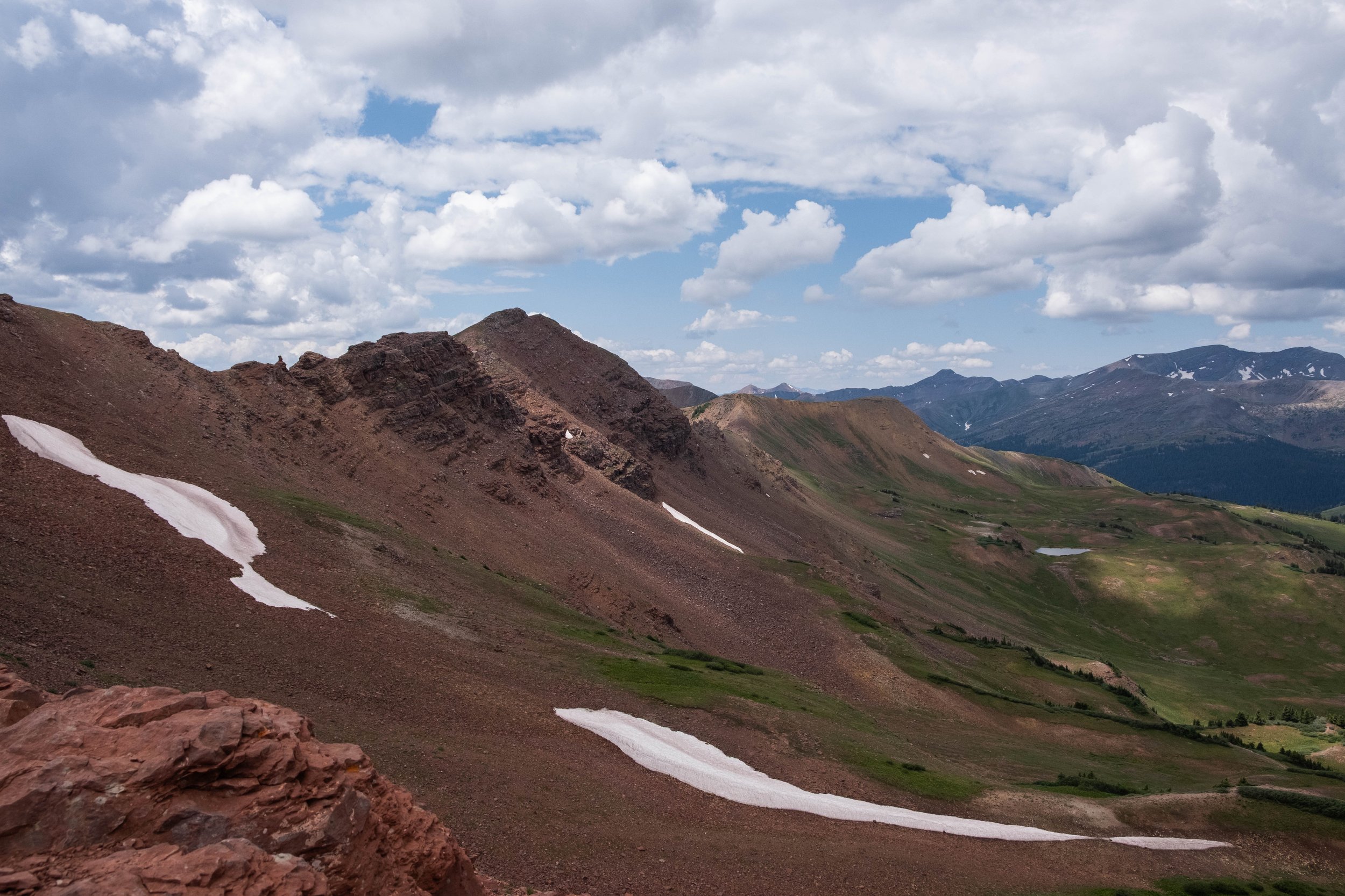
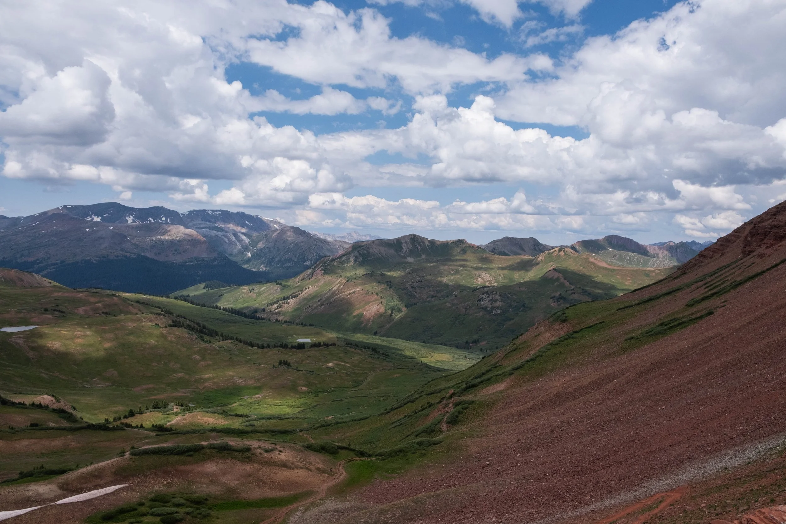
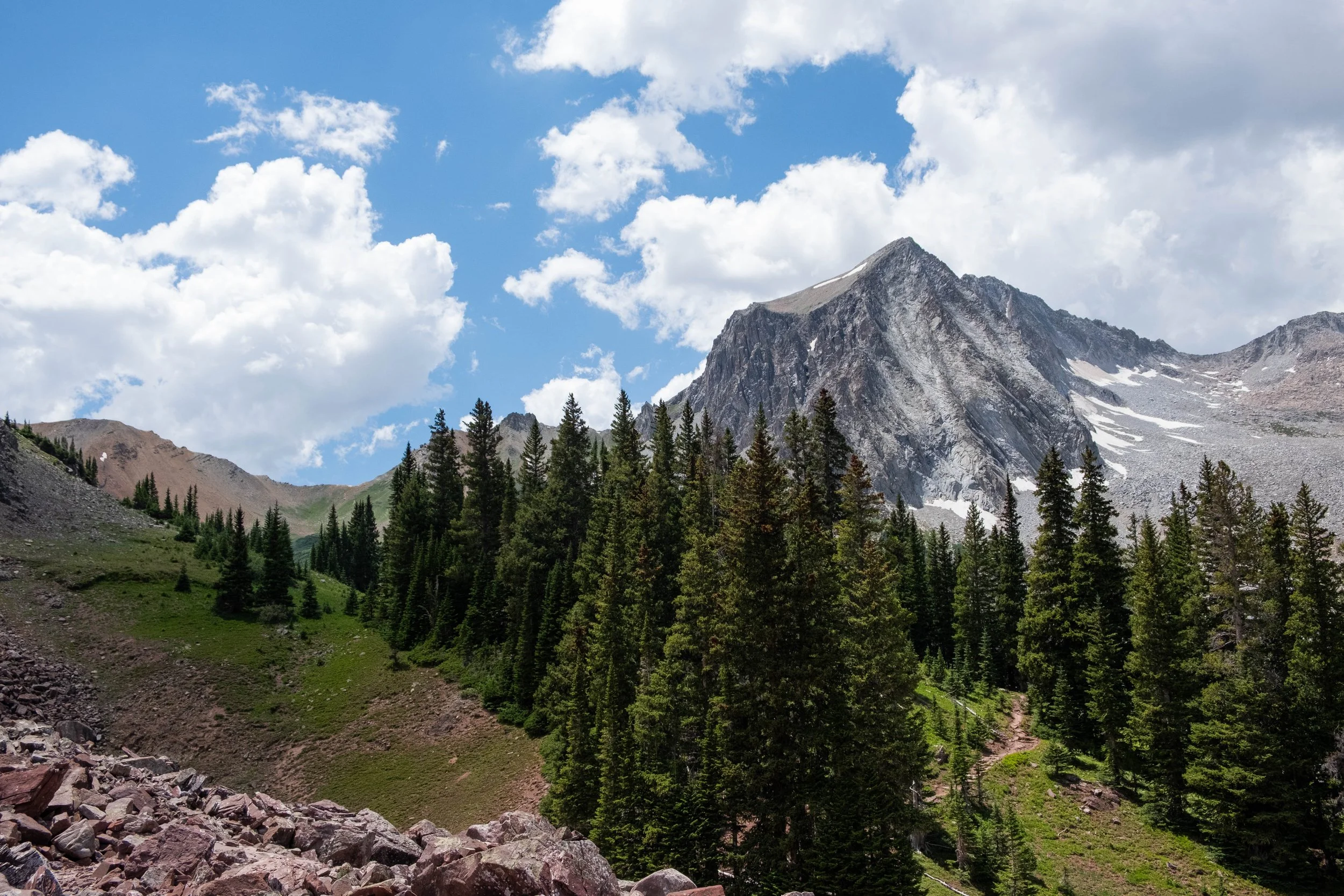
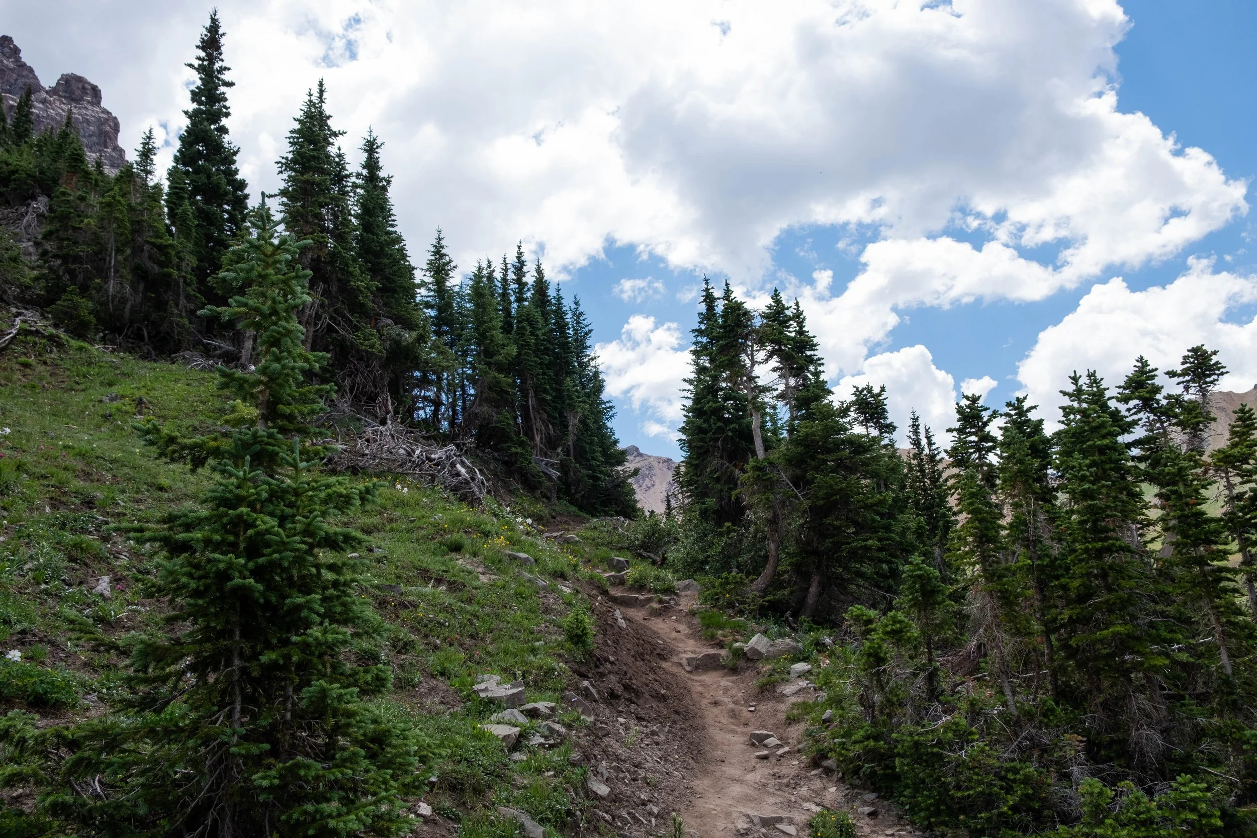
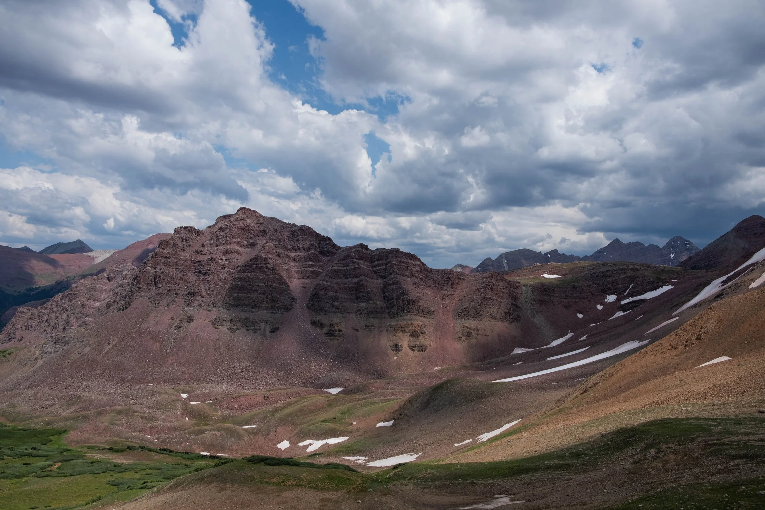
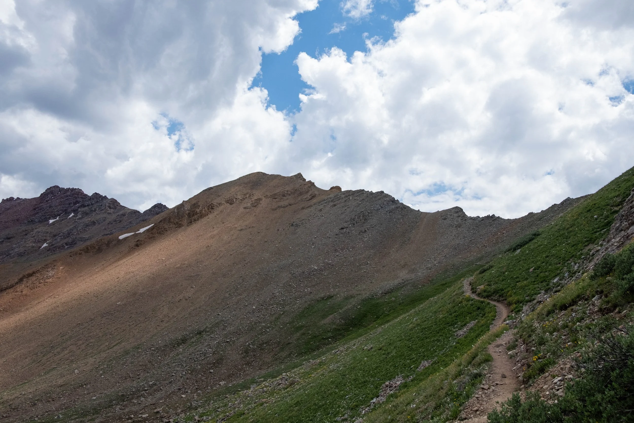
Trail Rider Pass… what can I say. This pass is famous for being the most challenging on the loop and I am here to confirm: It is. For sure. I fully understand why most hikers take a full day to tackle this pass and don’t typically combine it with another pass in a day. But with dark clouds rolling close to the pass, we didn’t have the luxury of time as we ascended. We had agreed if there was thunder or any sign of lightning, we’d turn around and descend back to the lake, essentially ending our bid to complete the loop since we’d then have to hike back out the way we’d come. We both had to dig deep and climbed as fast as we could the top of the pass. I was immensely relieved when we reached the top just before 3pm.
But as they say, what goes up, must come down. Despite having successfully reached the pass before any dangerous weather blew in, we still had miles of what would turn out to be a brutally steep descent ahead of us. My body feels so much more confident and strong when I am going uphill; downhill is tough since I’m constantly worried about my feet slipping on scree or rocks. When wearing a full backpack, the consequences of losing your footing could get bad pretty quickly. I’ll spare all the details of the next two hours, but suffice it to say, we were very happy to be done with Trail Rider Pass when we finally made it down into Fravert Basin.
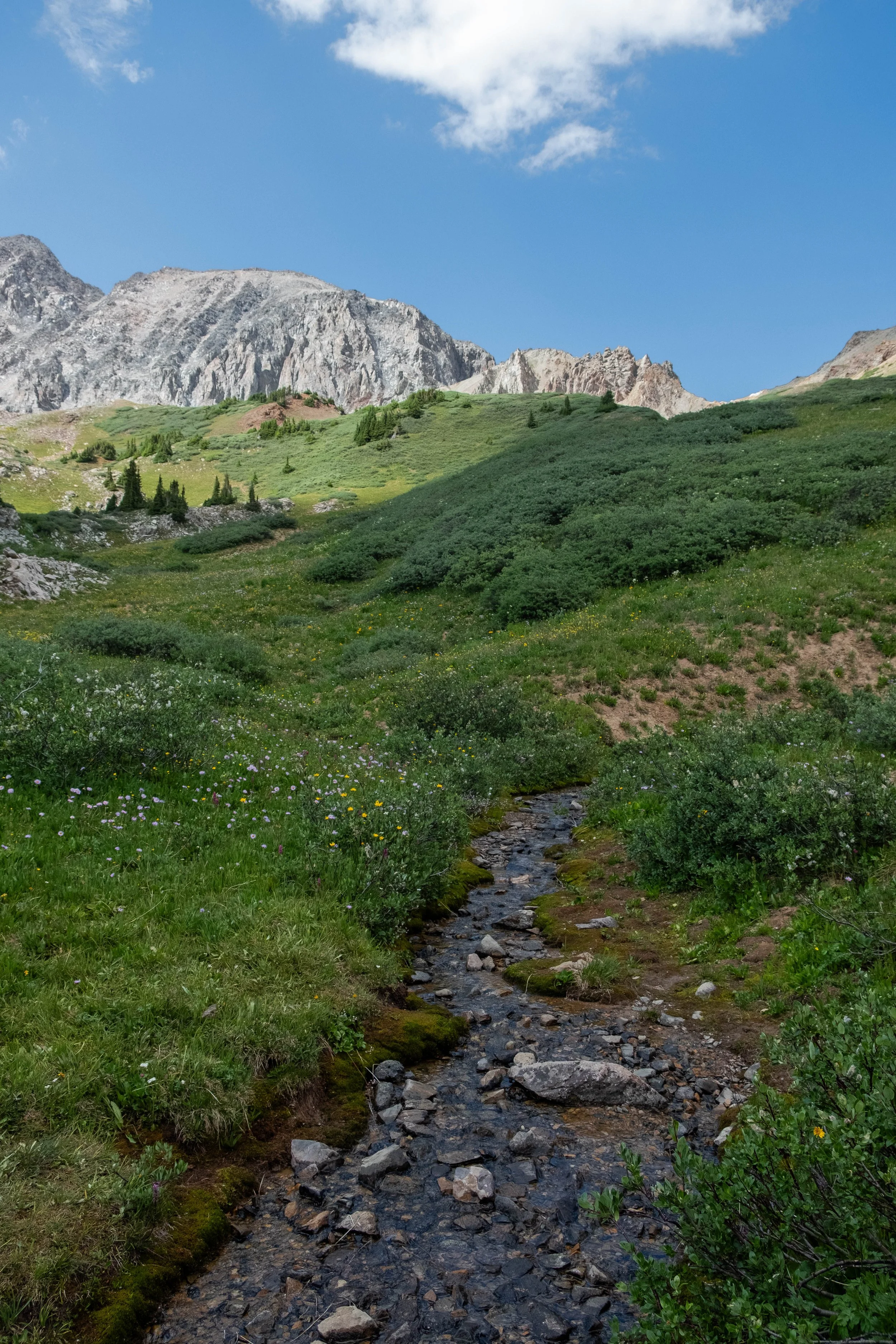
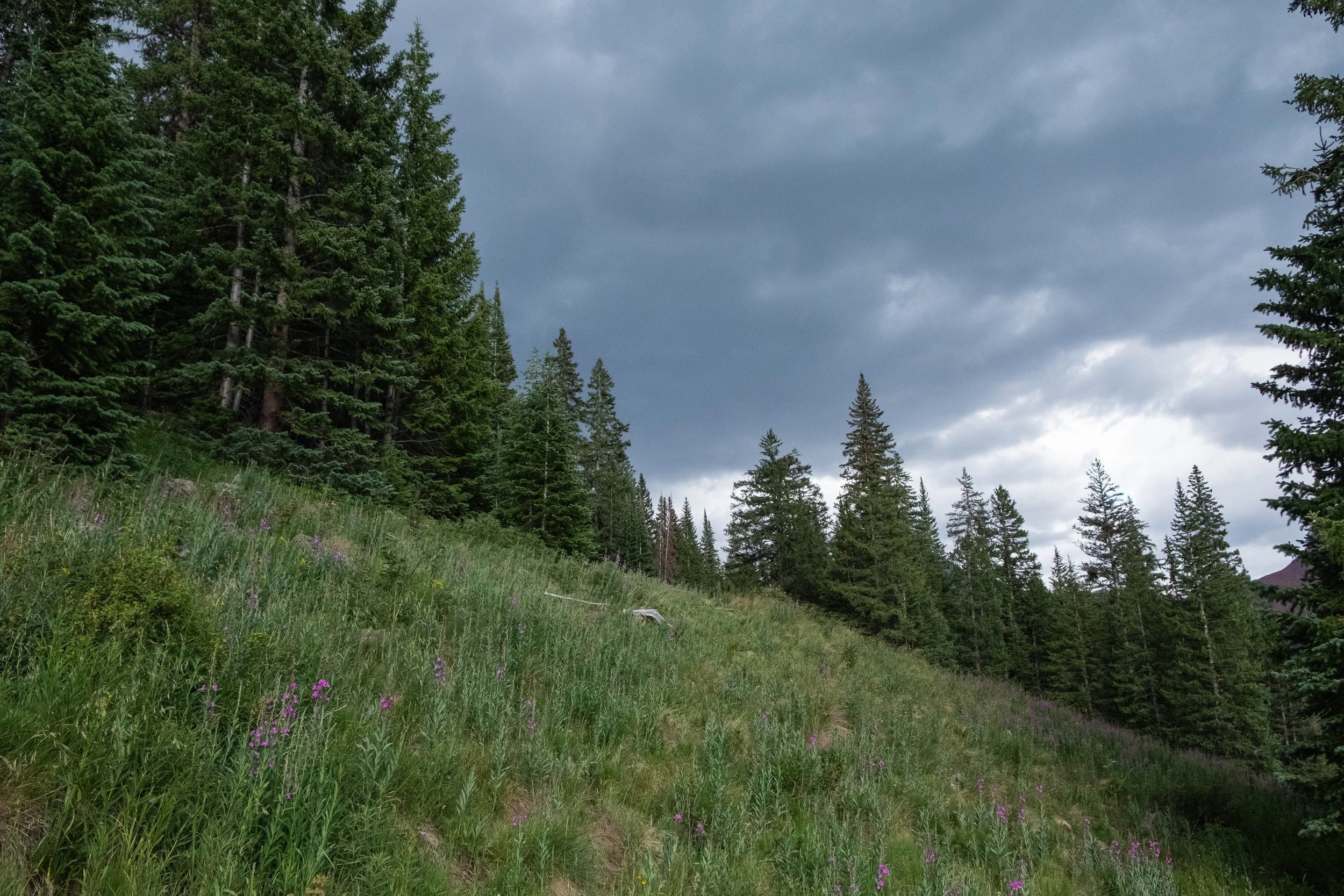
At this point, the skies had darkened, and the rain finally came just after we’d pitched our tent. The valley smelled sweet afterwards, water droplets clinging to the wildflowers in the meadow leading down to the North Fork River where I filled our water filter to prepare dinner. We feasted on freeze dried pad Thai and coconut Thai curry, drank a cup of tea, and savored a packet of hazelnut peanut butter for dessert while dusk settled over in the valley in velvety periwinkle hues. The stars had begun to twinkle above us when we found a spot to stow our bear canister. Grateful for the simple but profound gifts of shelter, food, and rest, we crawled into the tent and were asleep in record time.
Day 2: Fravert Basin to Maroon Lake Trailhead via Frigid Air Pass and West Maroon Pass
Distance: 14.4 miles | Ascent/Descent: +3,445 ft/-4,300 ft
We woke at 5am to the sound of birdsong. The valley was beginning to wake. We began breaking down our camp and preparing breakfast, which included shooing away a curious deer who potentially had developed a taste for oatmeal based on her interest in our food. A few minutes later, as we drank our coffee, a loud crack came from the forest behind us. I whirled around and the first thing I was able to pick out was a massive black leg in the shadowy trees. “Moose,” I announced, immediately backing away. The light was still low, but I registered that it was a very large bull moose and that he was staring directly into my eyes through a thin screen of pine needles. “Back up, back up, back up.”
We evacuated our campsite, still clutching our coffee mugs and bowls, and began backing away through the meadow toward the river. Half a minute passed, then the moose I’d seen emerged from the trees right next to our campsite; five seconds later, a second younger bull followed him out. They both stopped and looked over at us, then eventually continued ambling down the trail toward where it branches off to Trail Rider Pass. A little shaken, but also awestruck by their presence, we returned to our site once they were out of sight. We finished packing up and began heading down the trail for our second and final day of the loop.
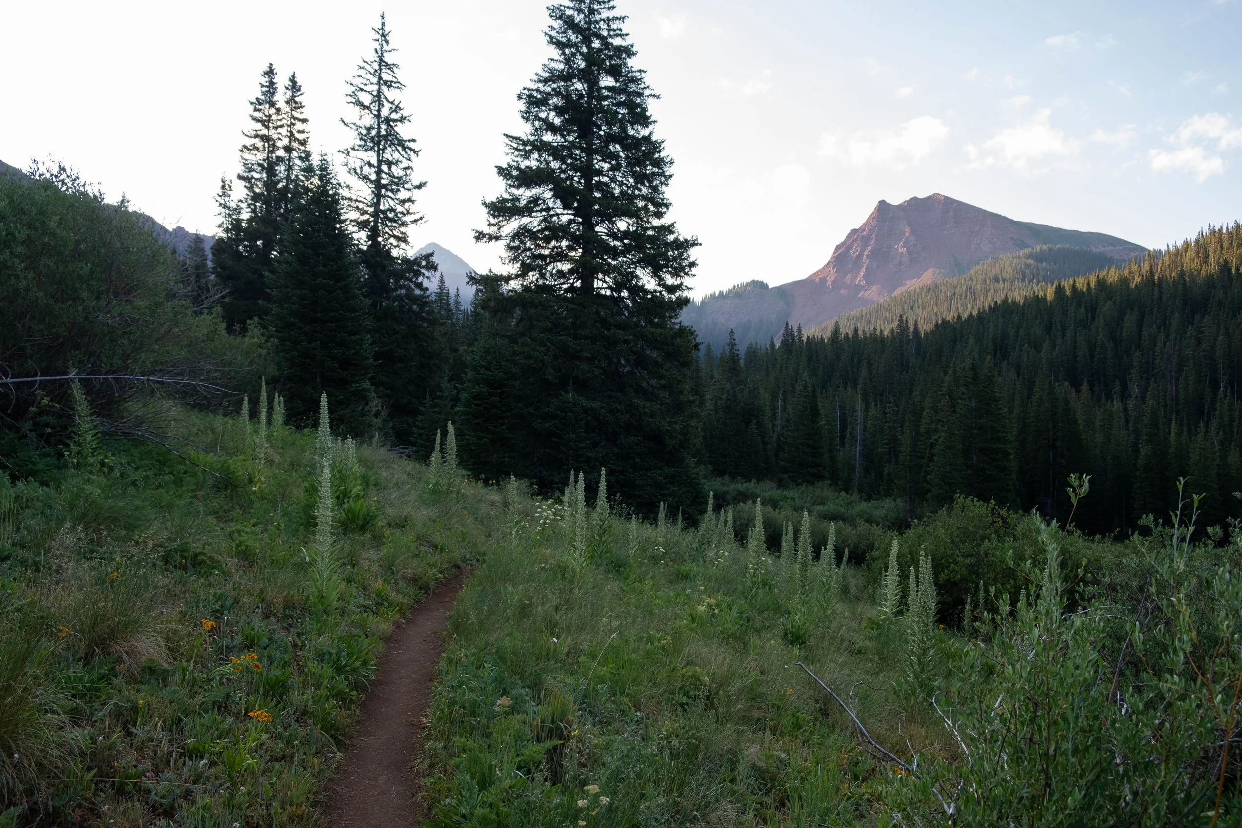
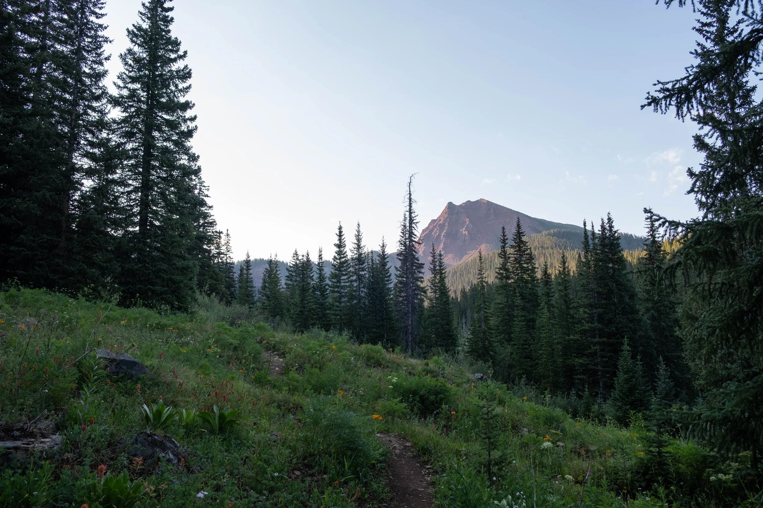
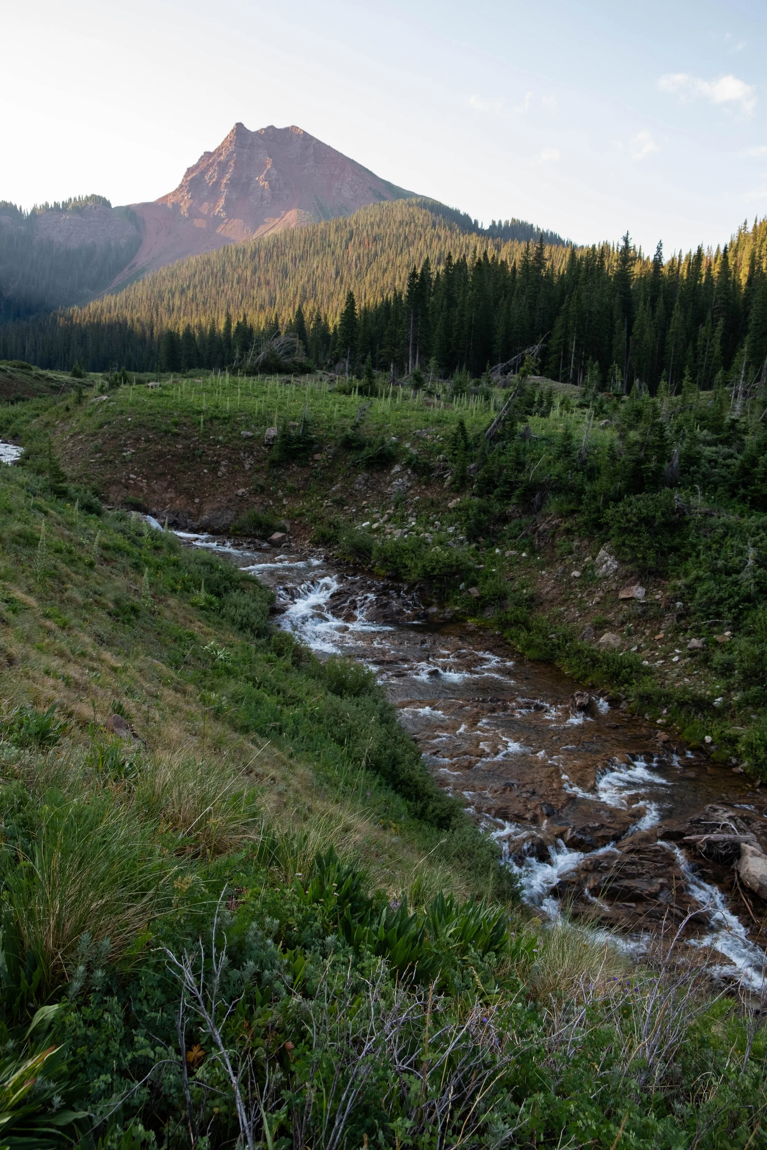
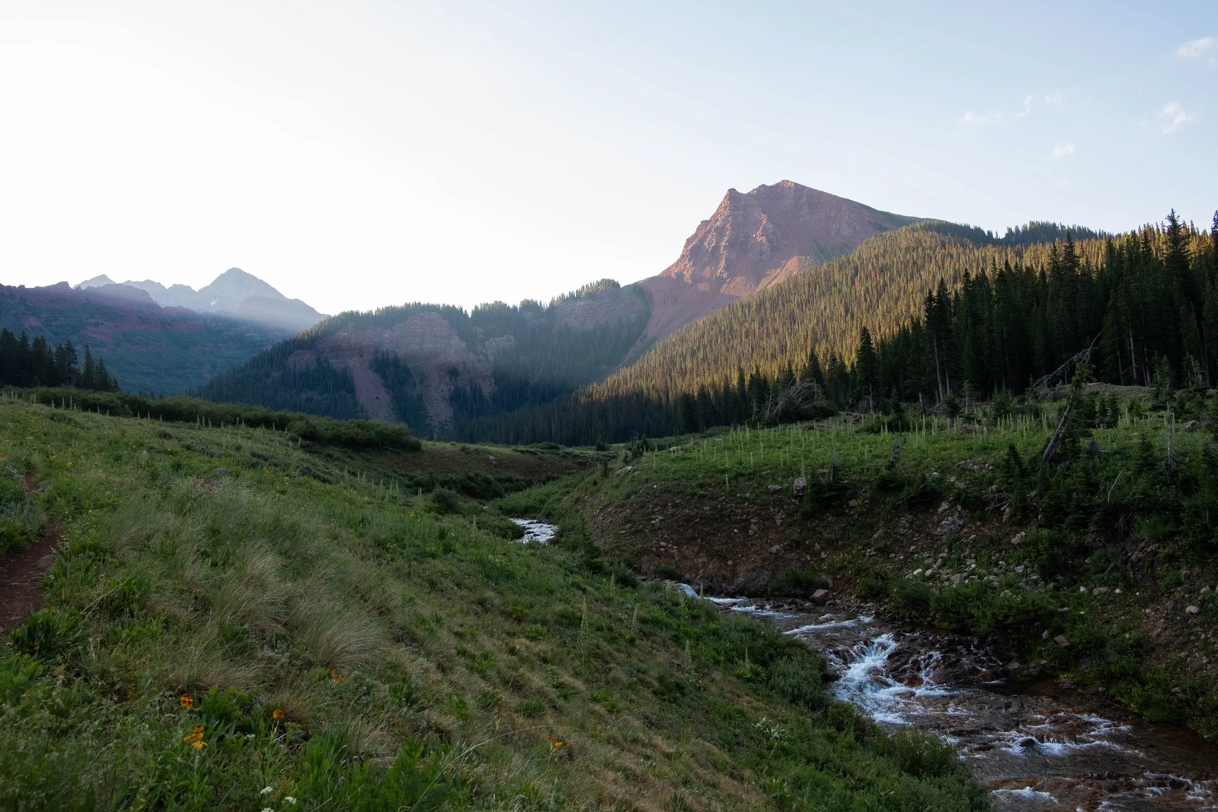
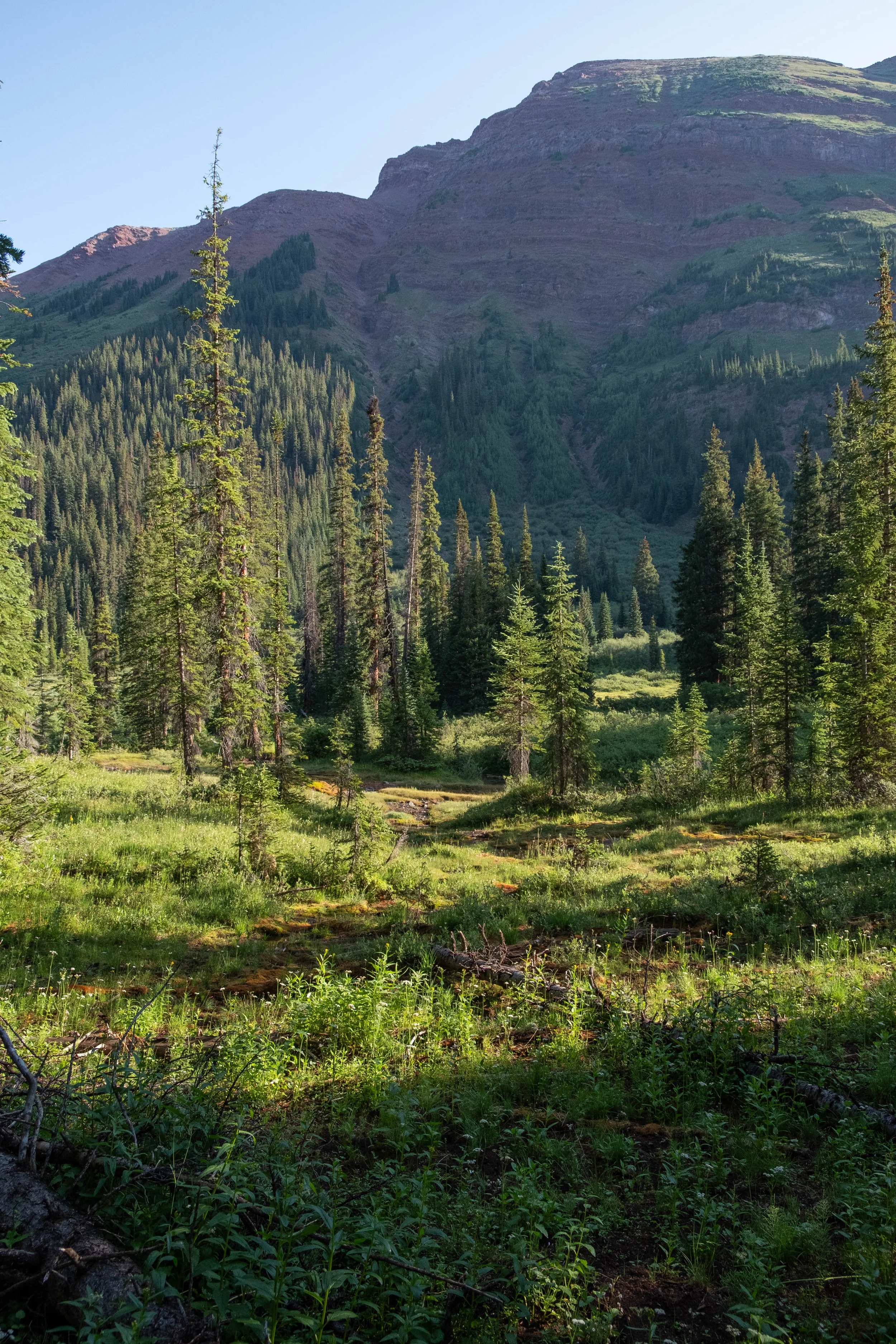
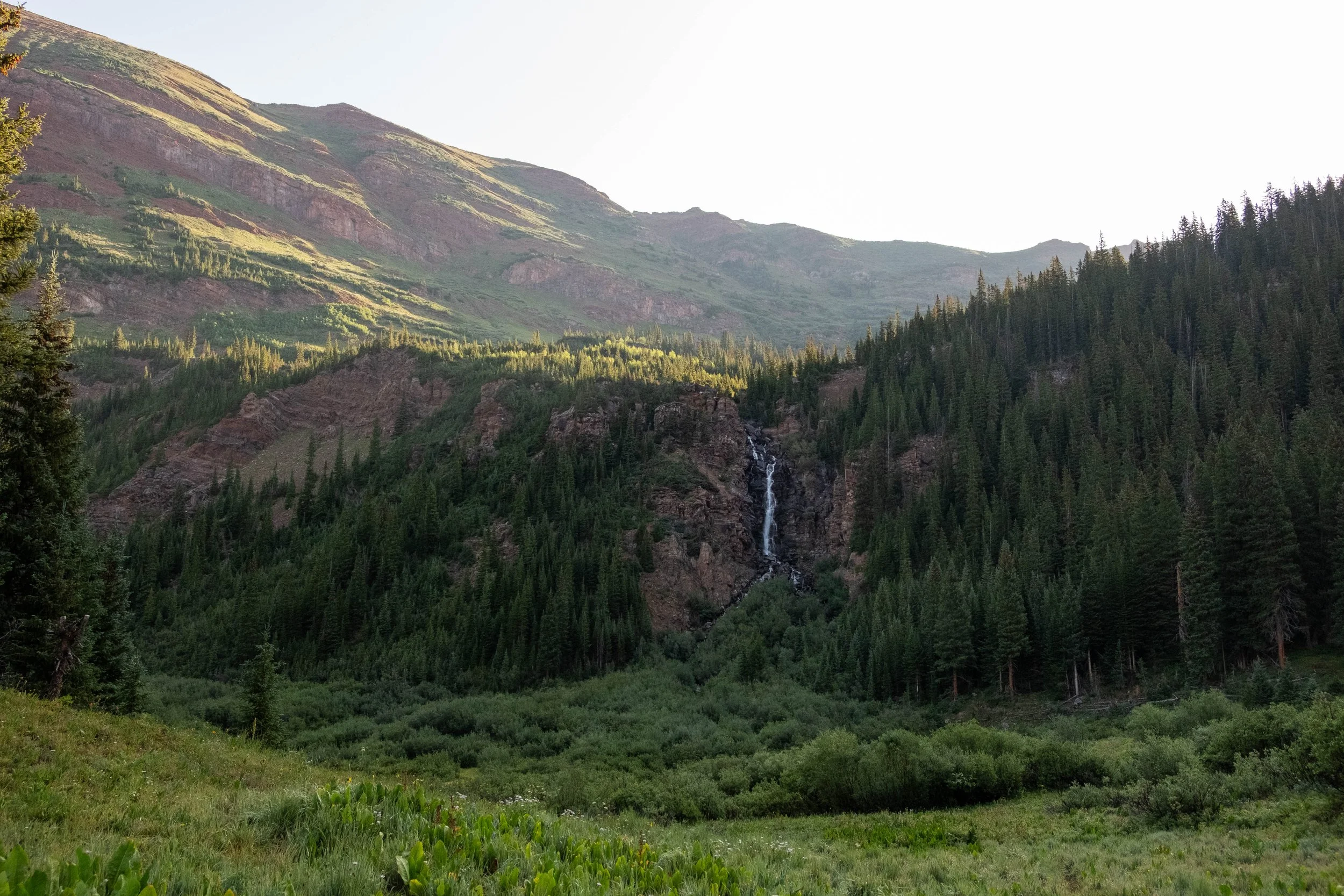
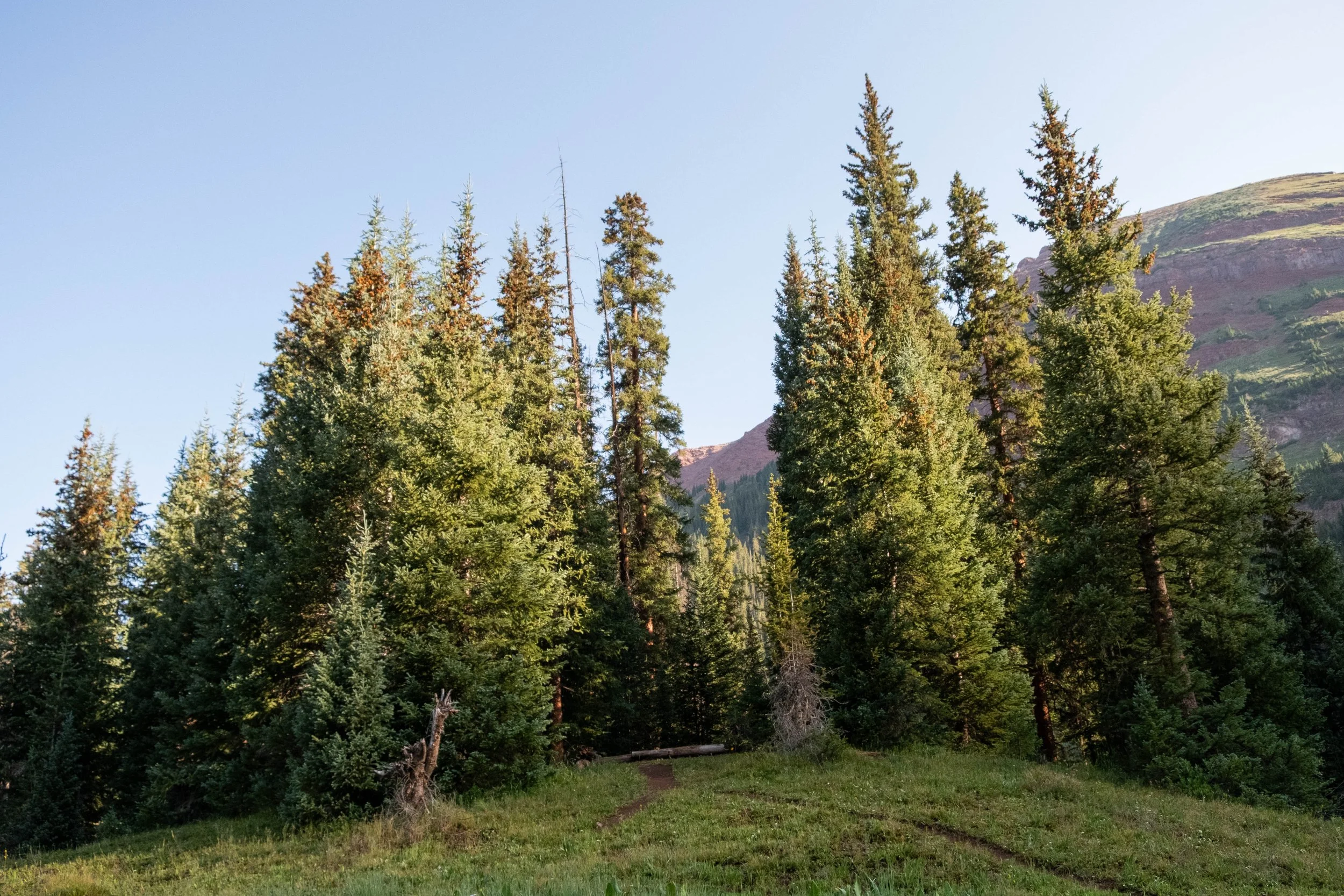
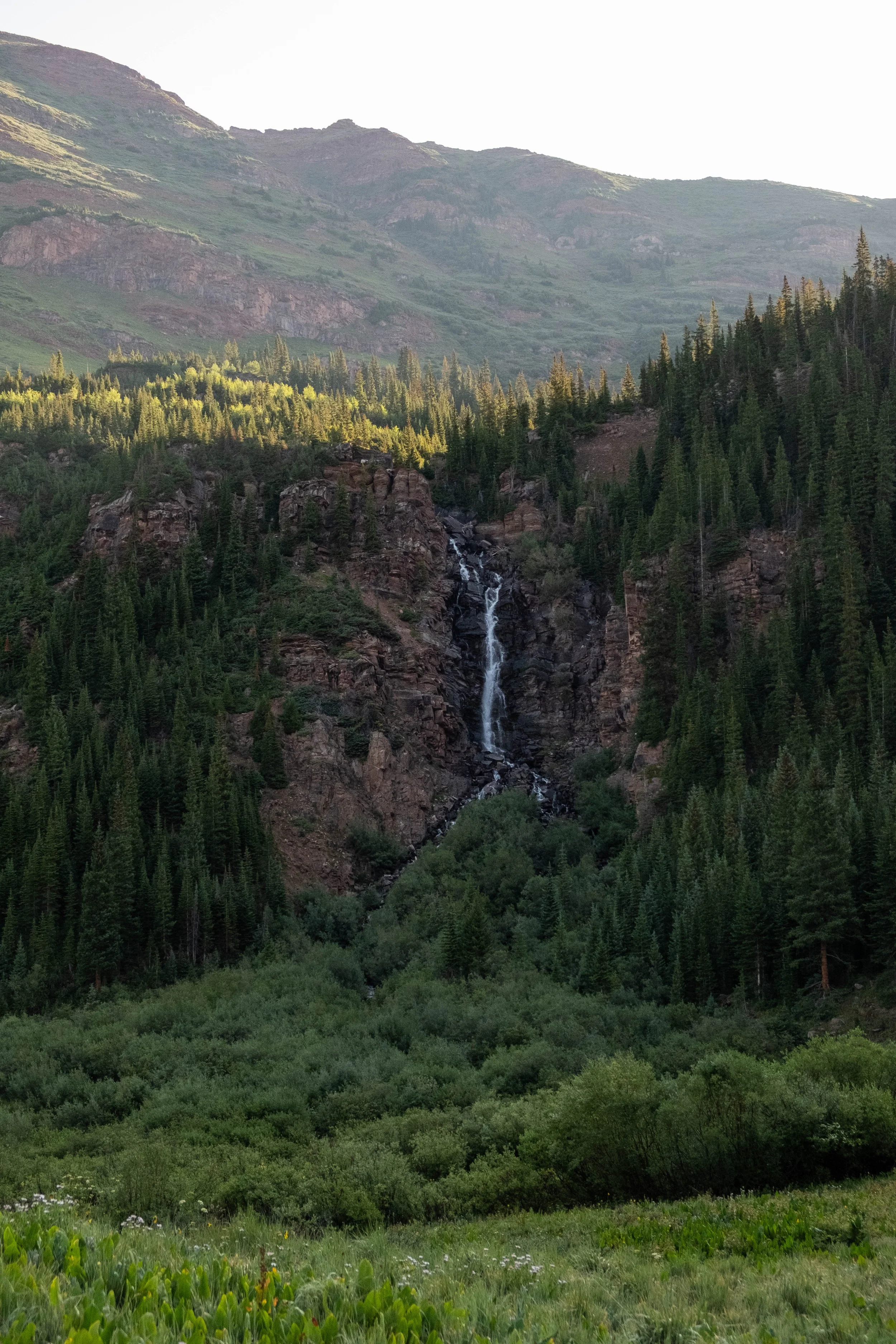
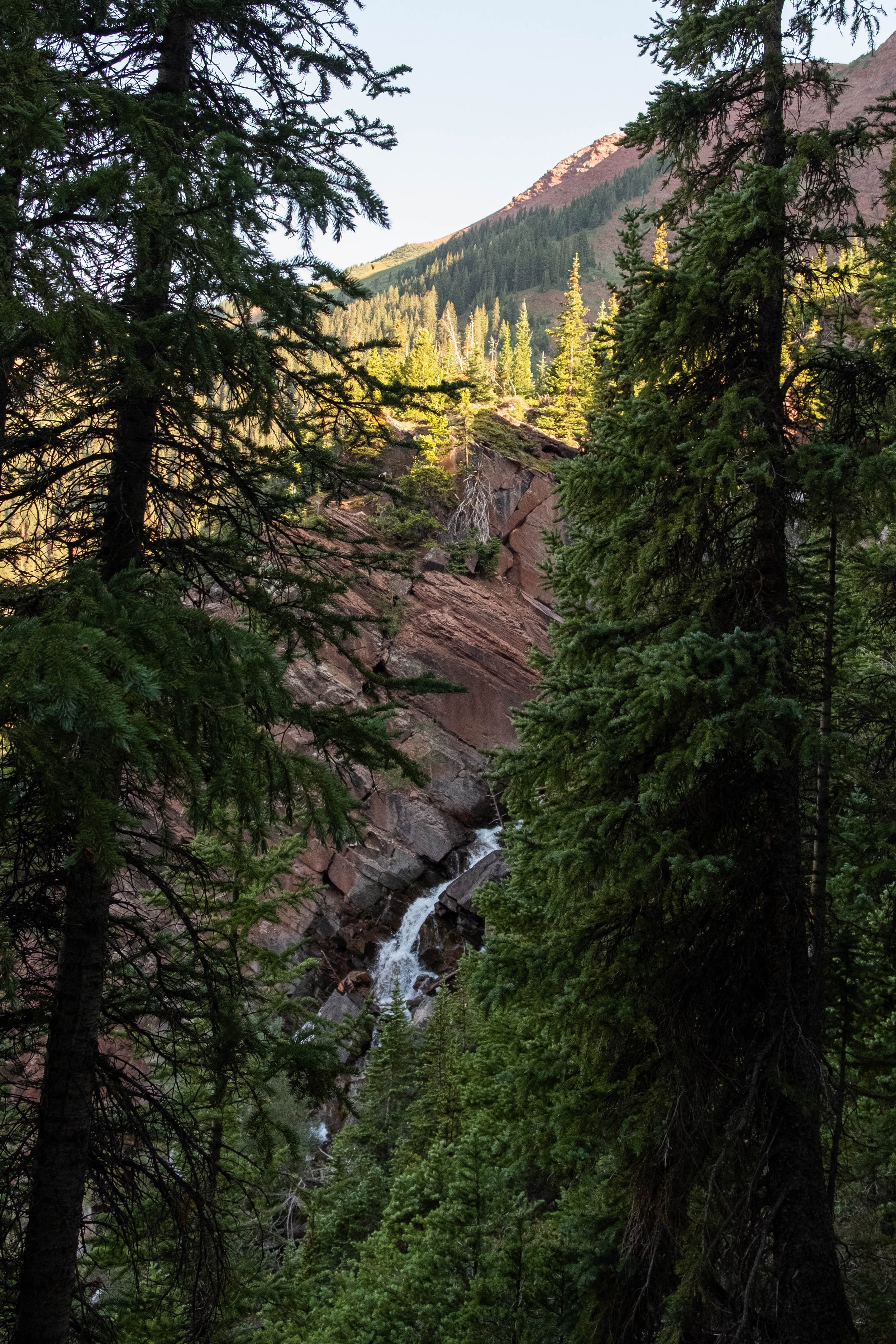
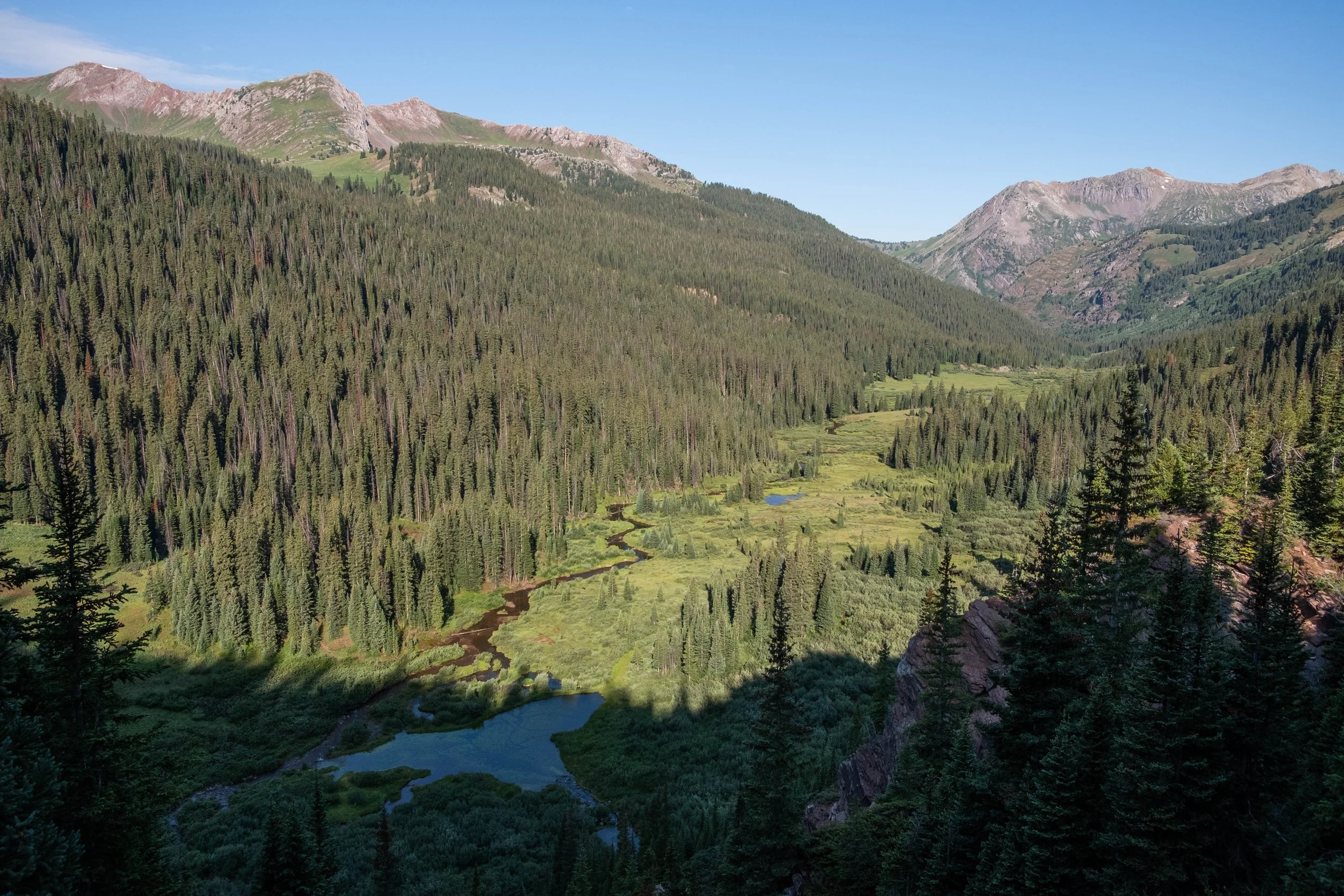
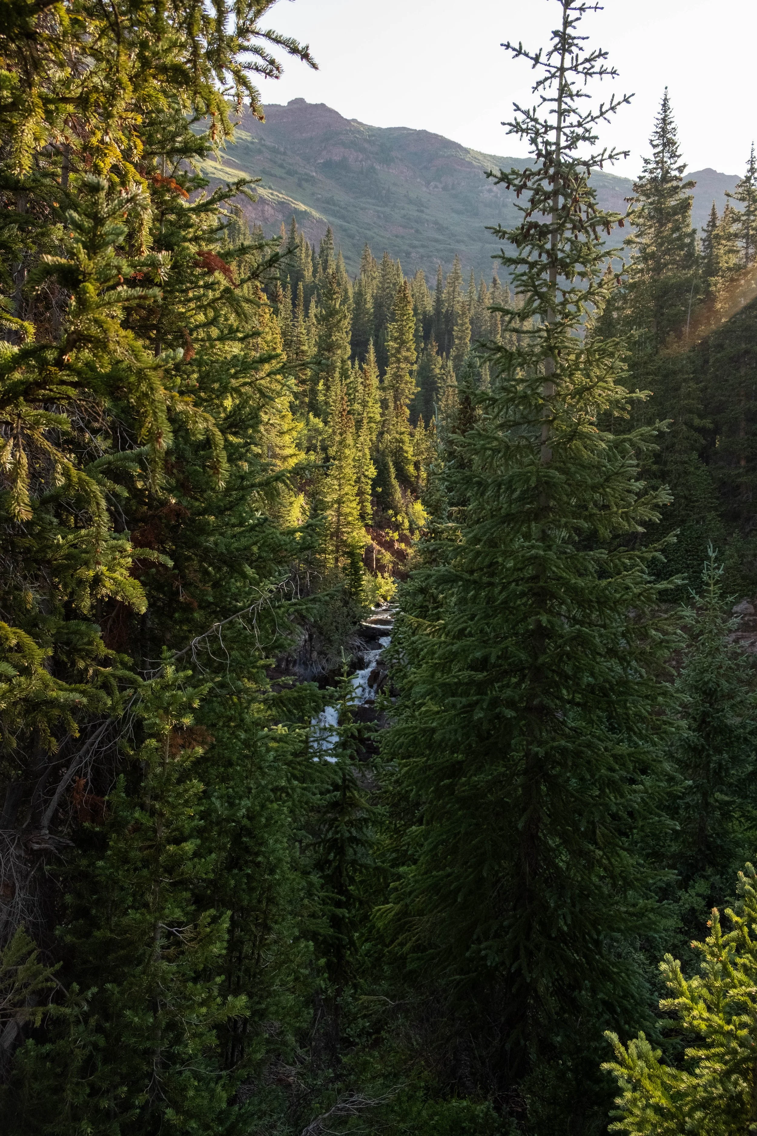
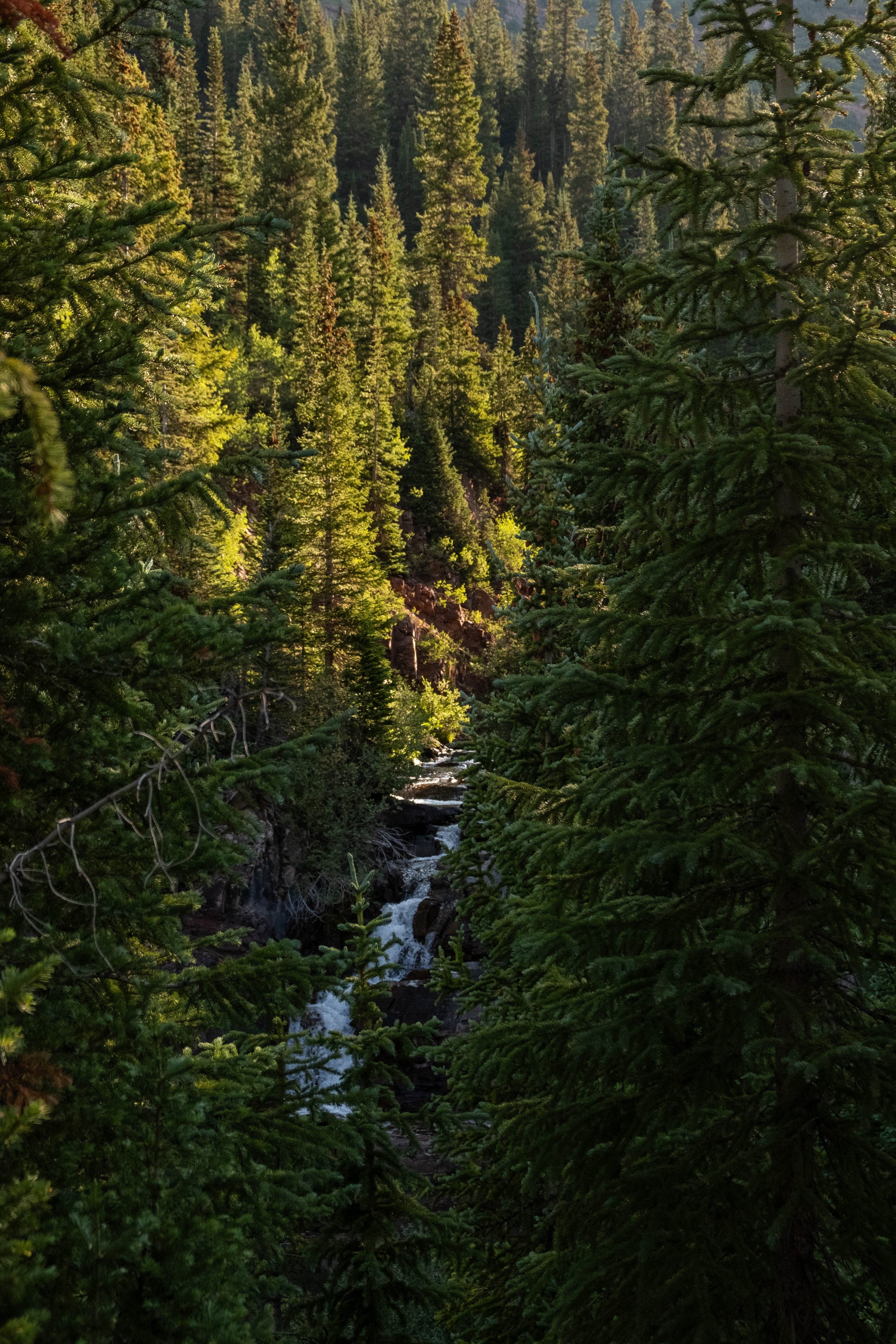
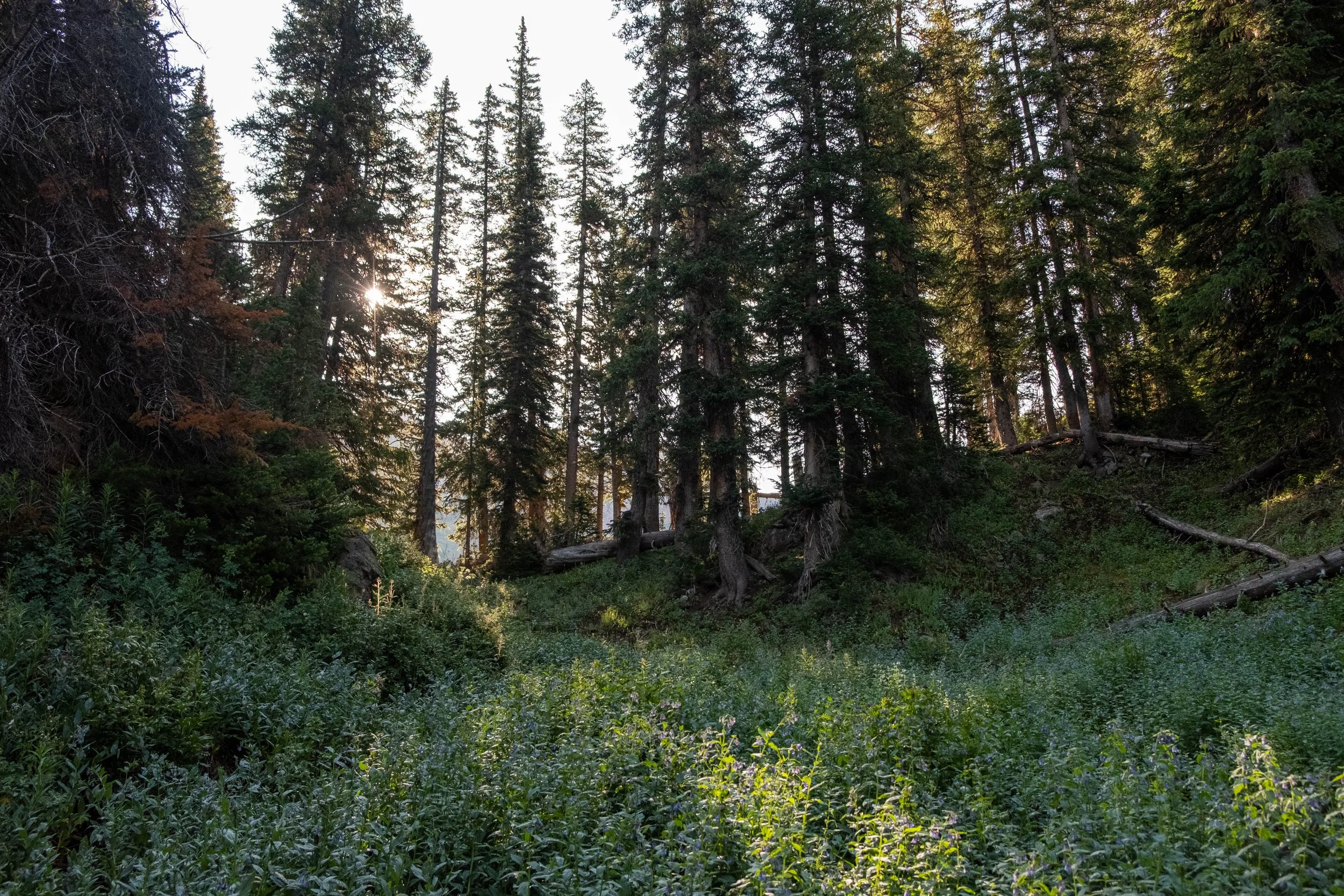
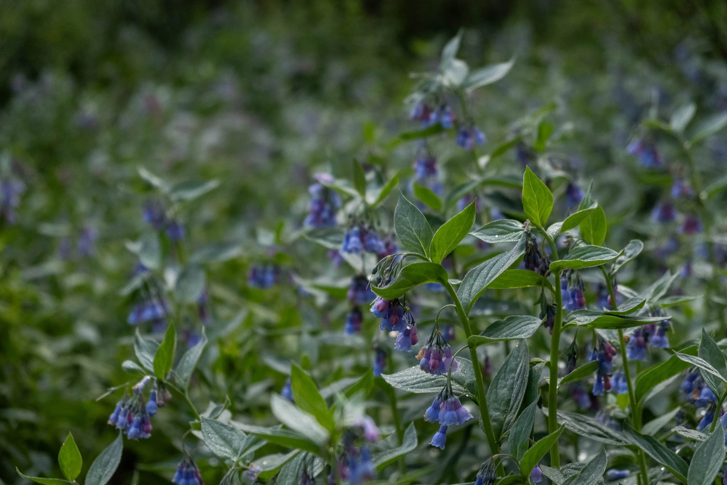
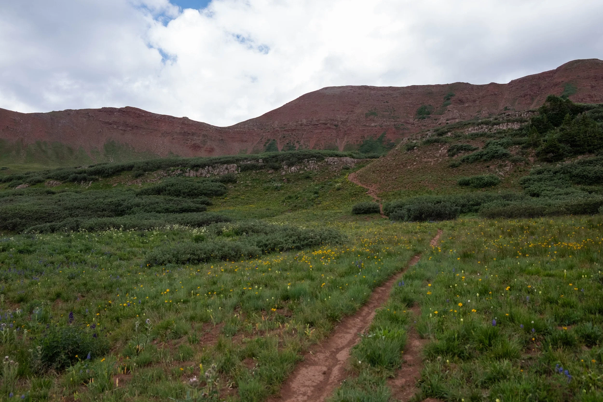
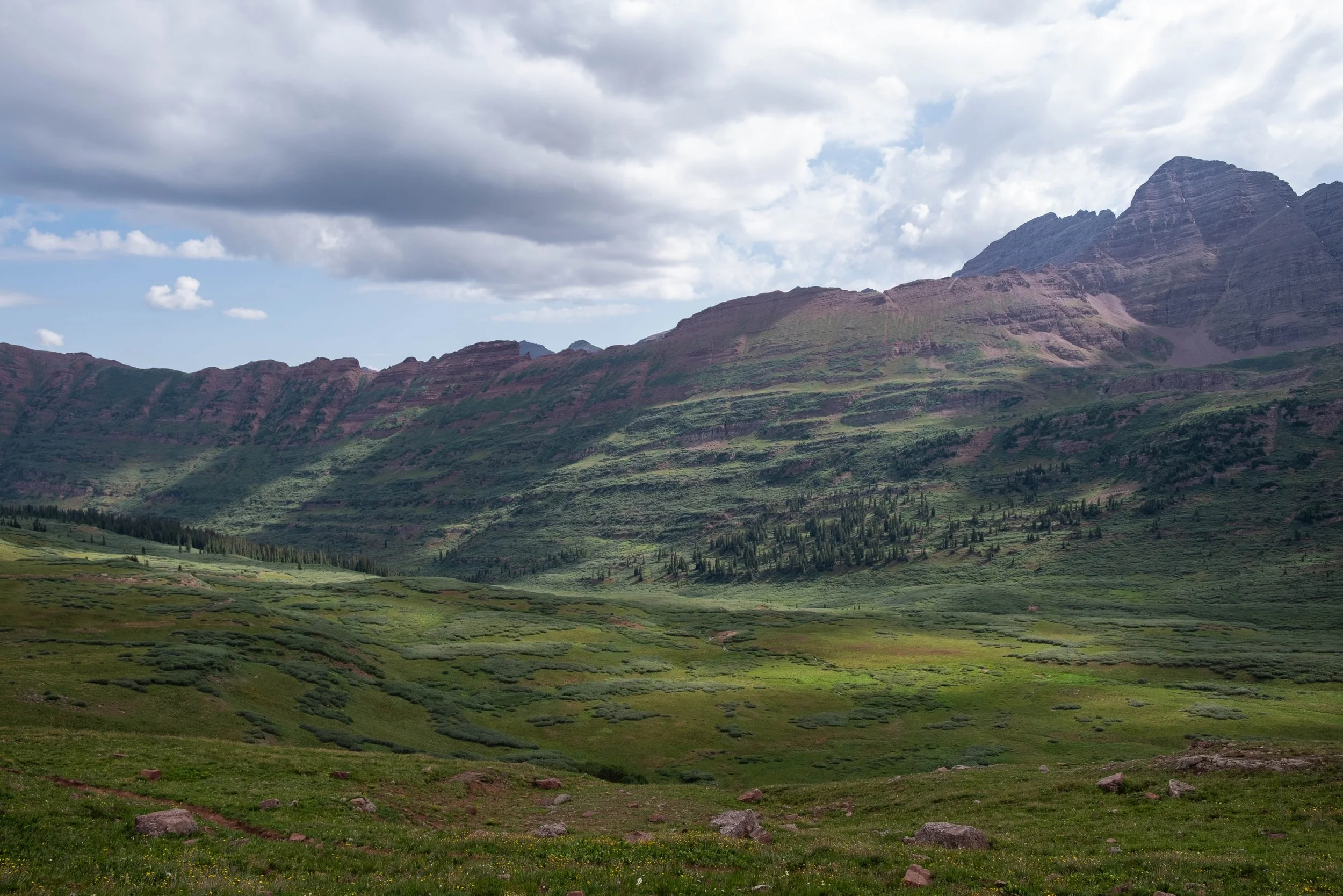
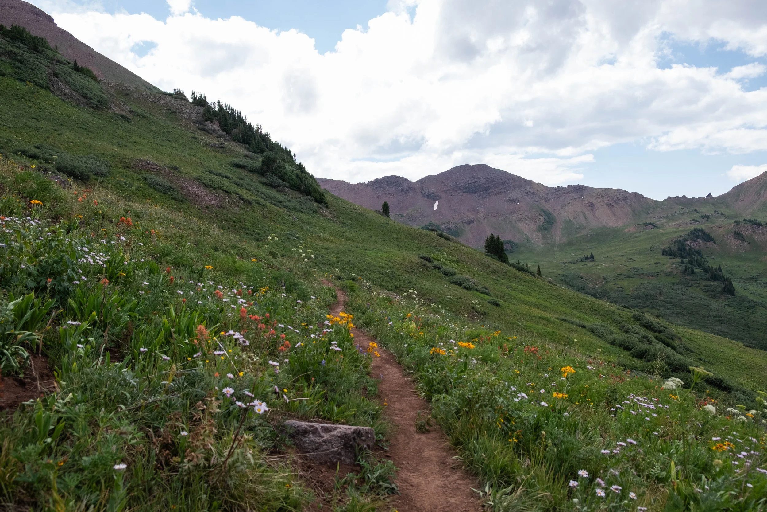
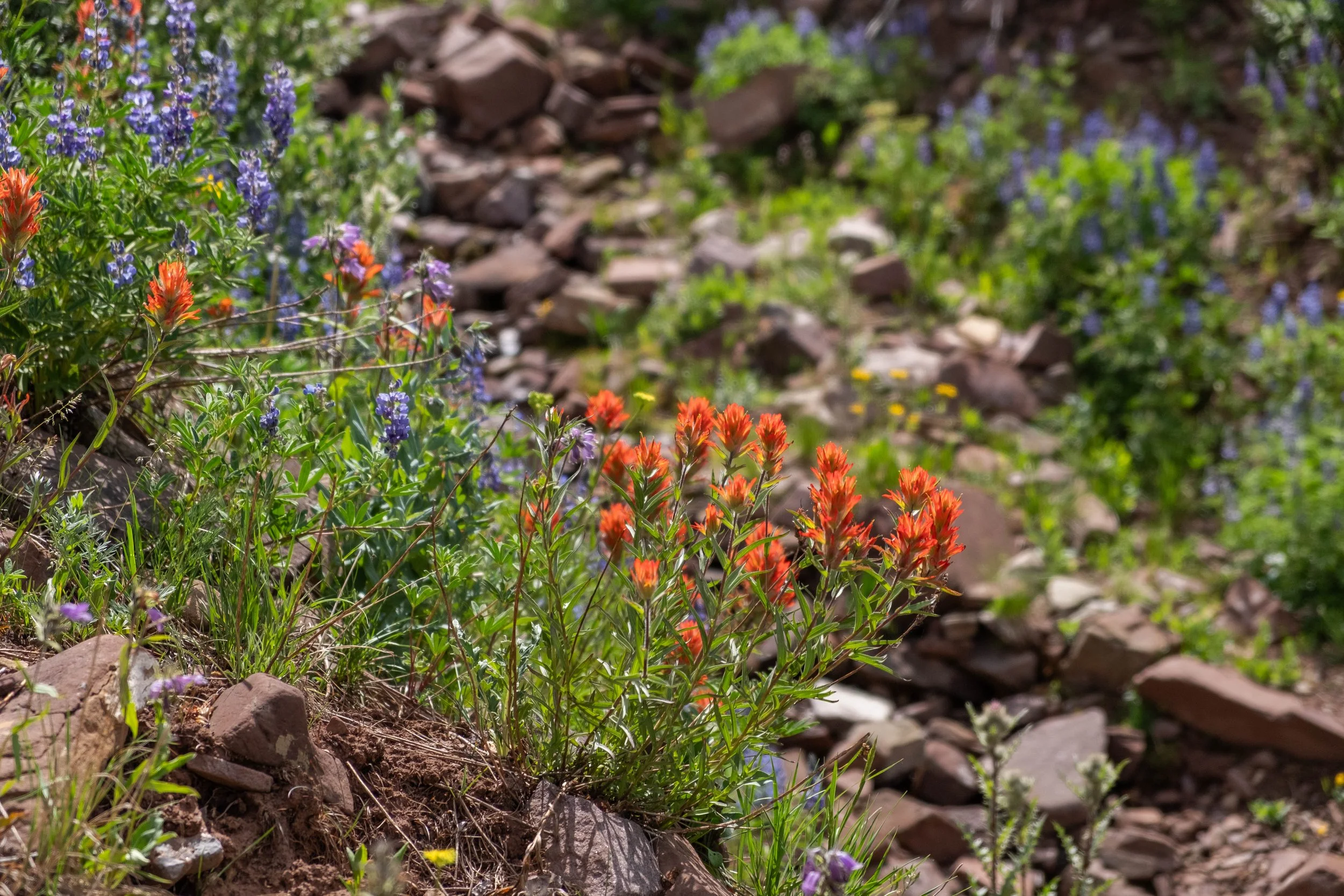
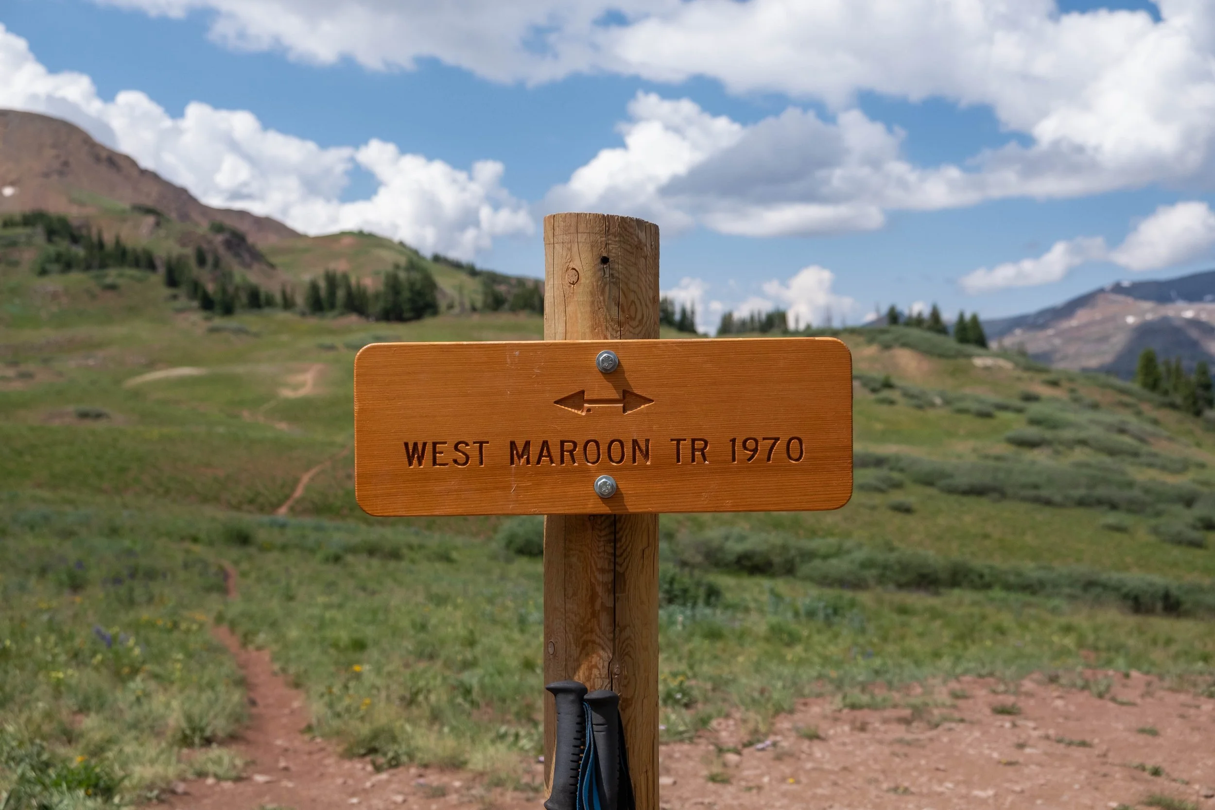
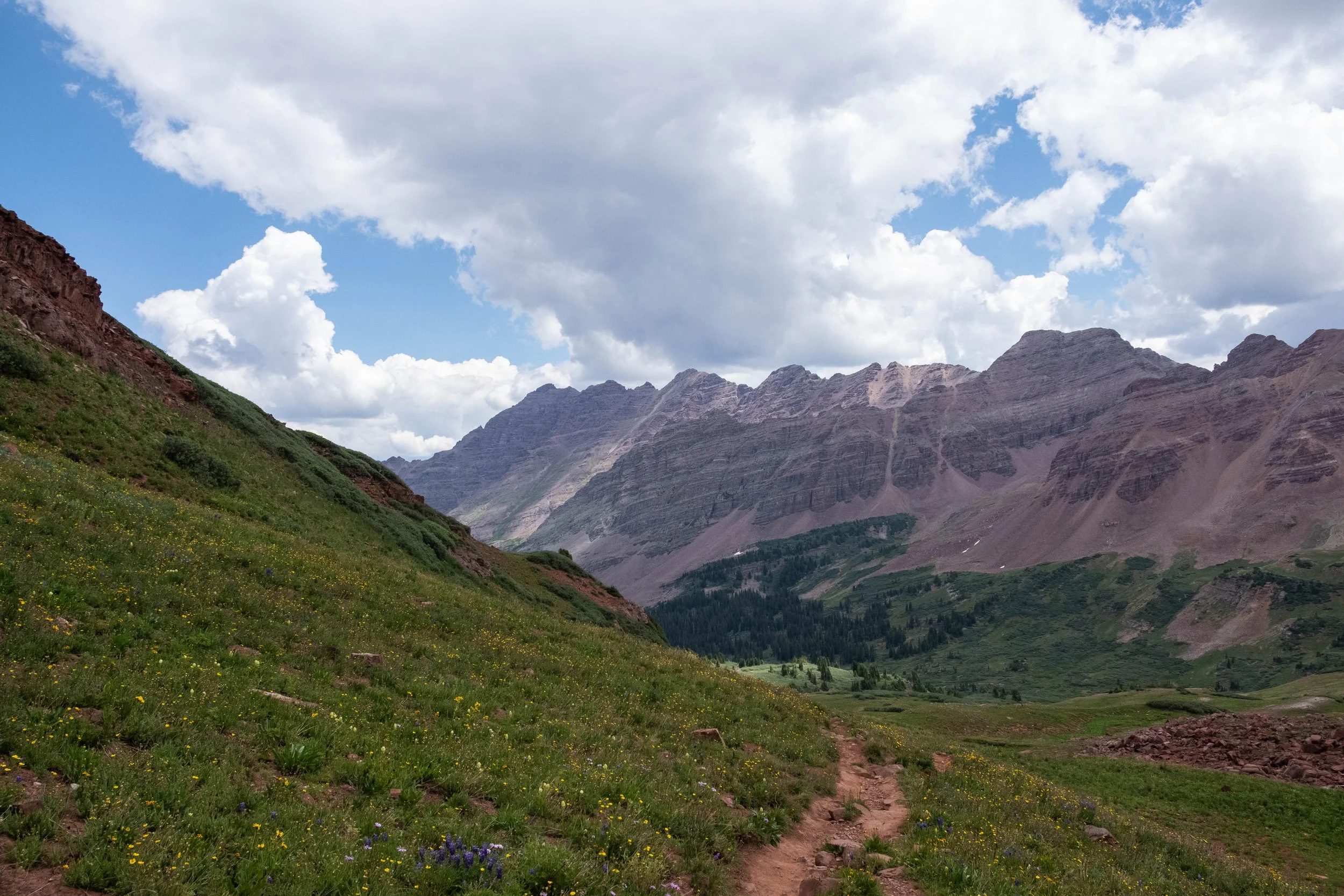
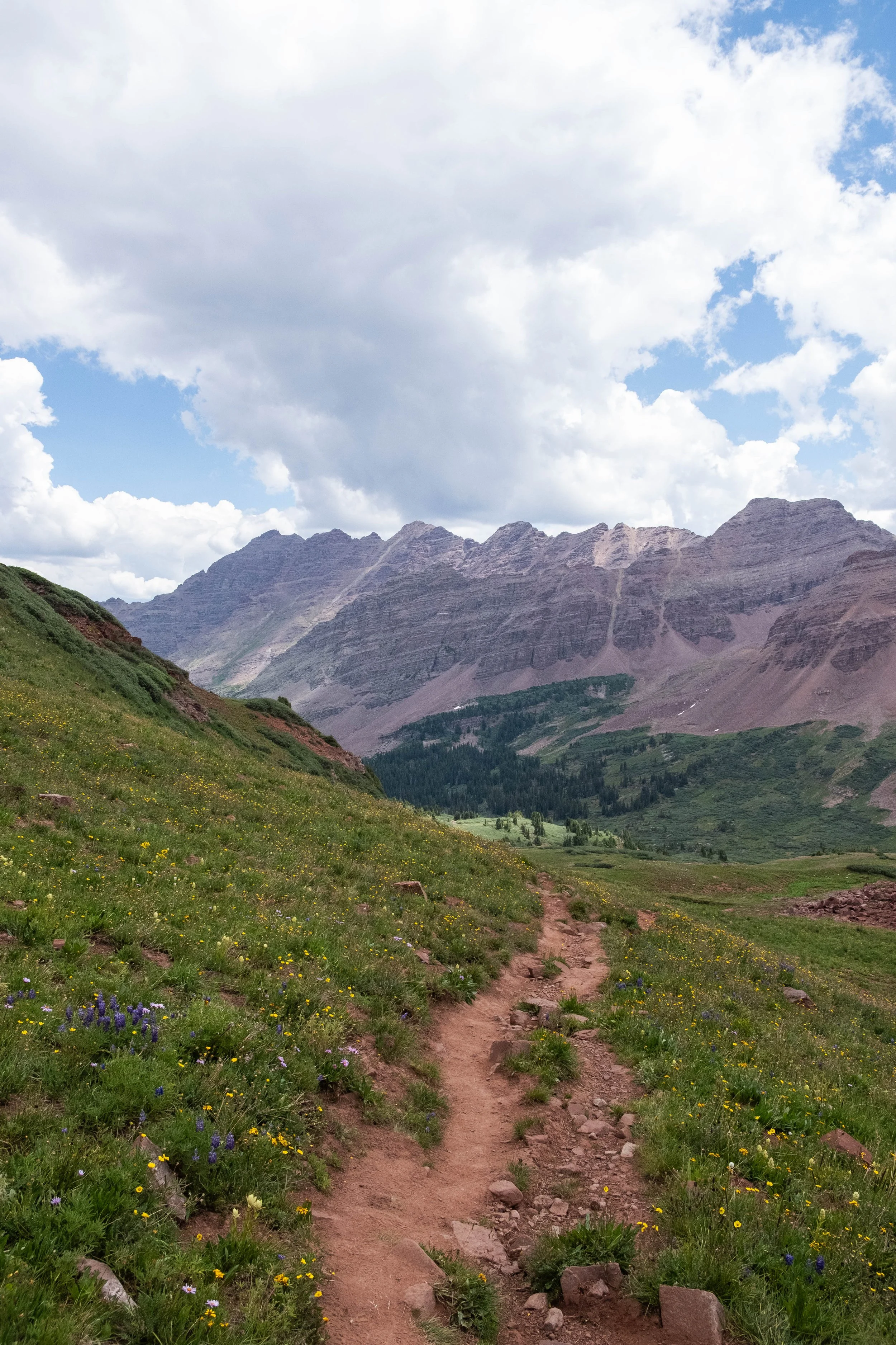
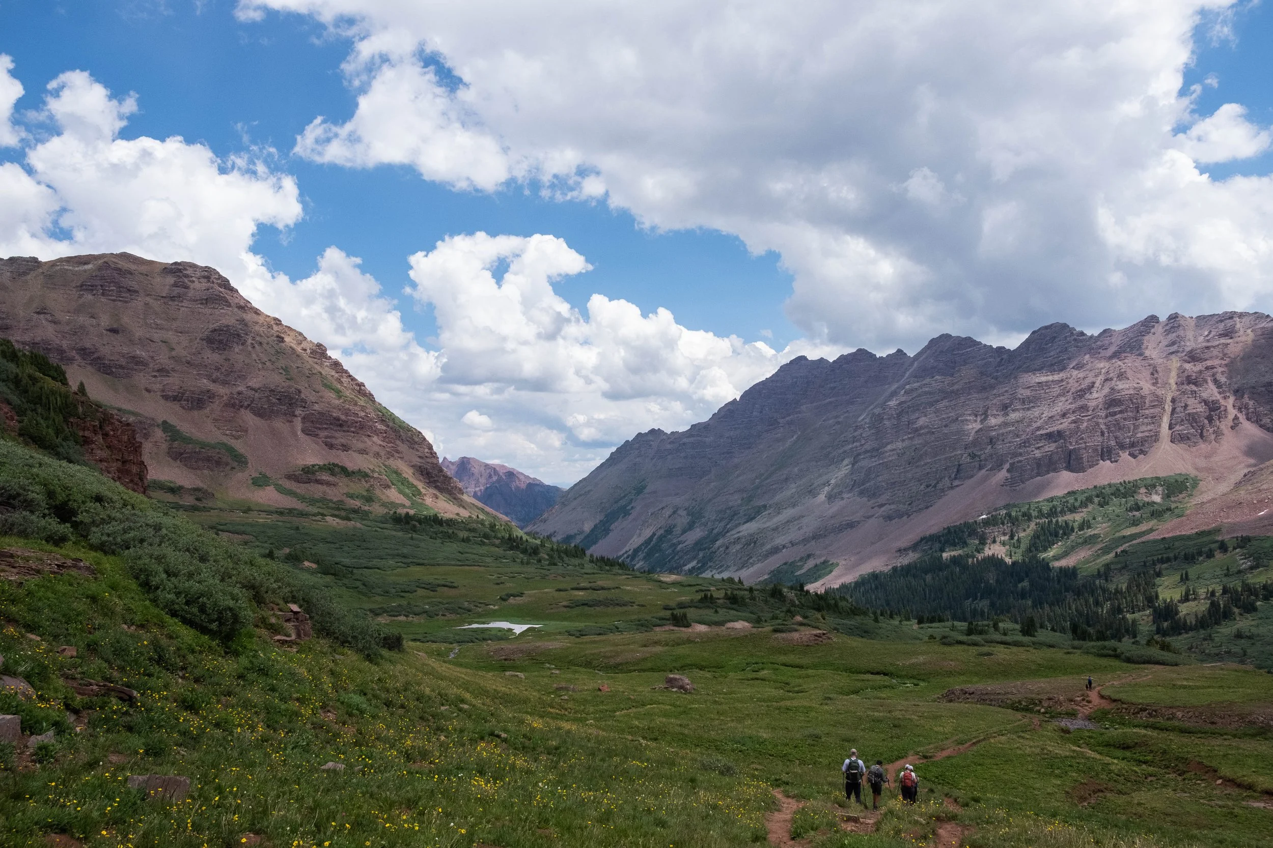
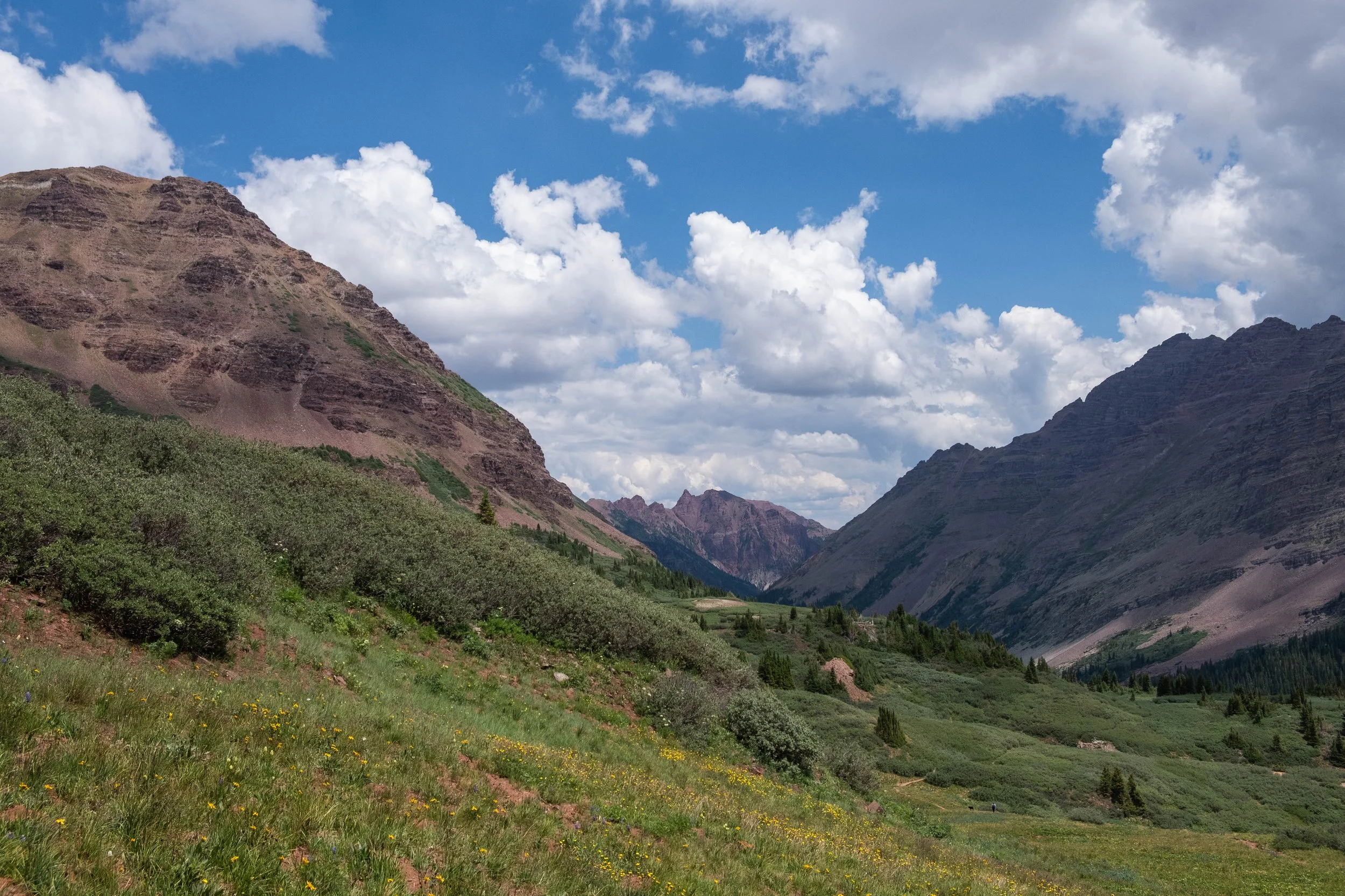
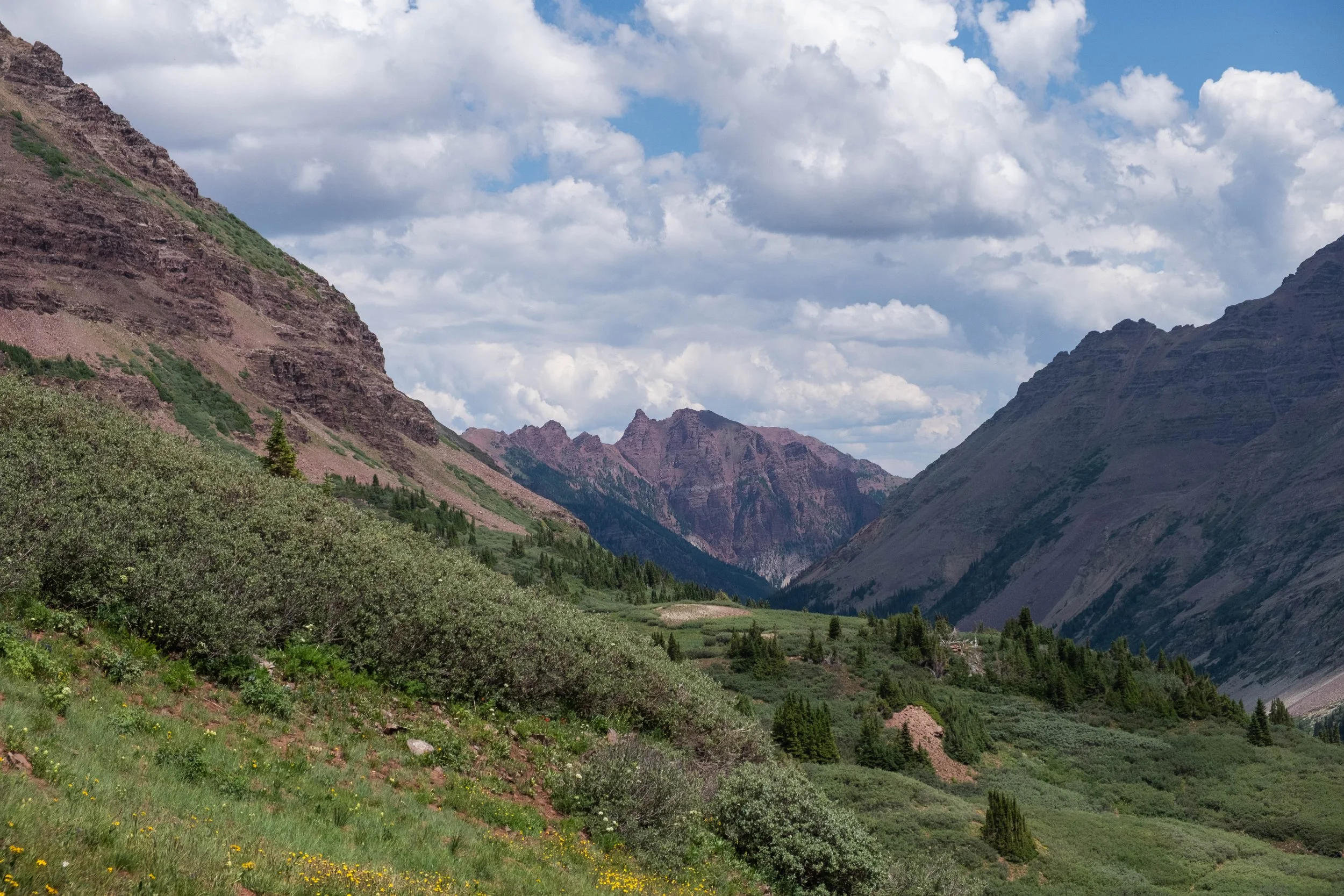
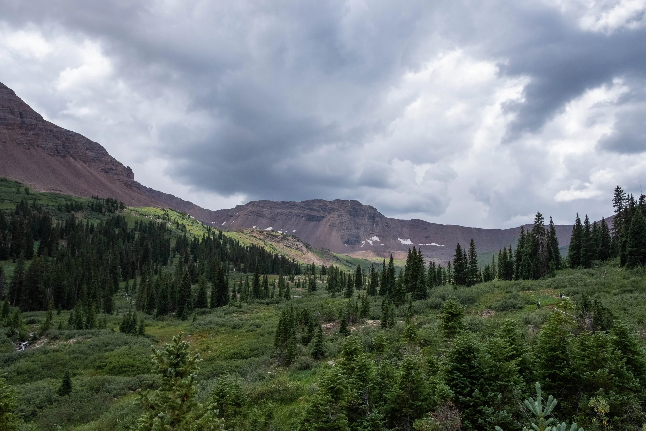
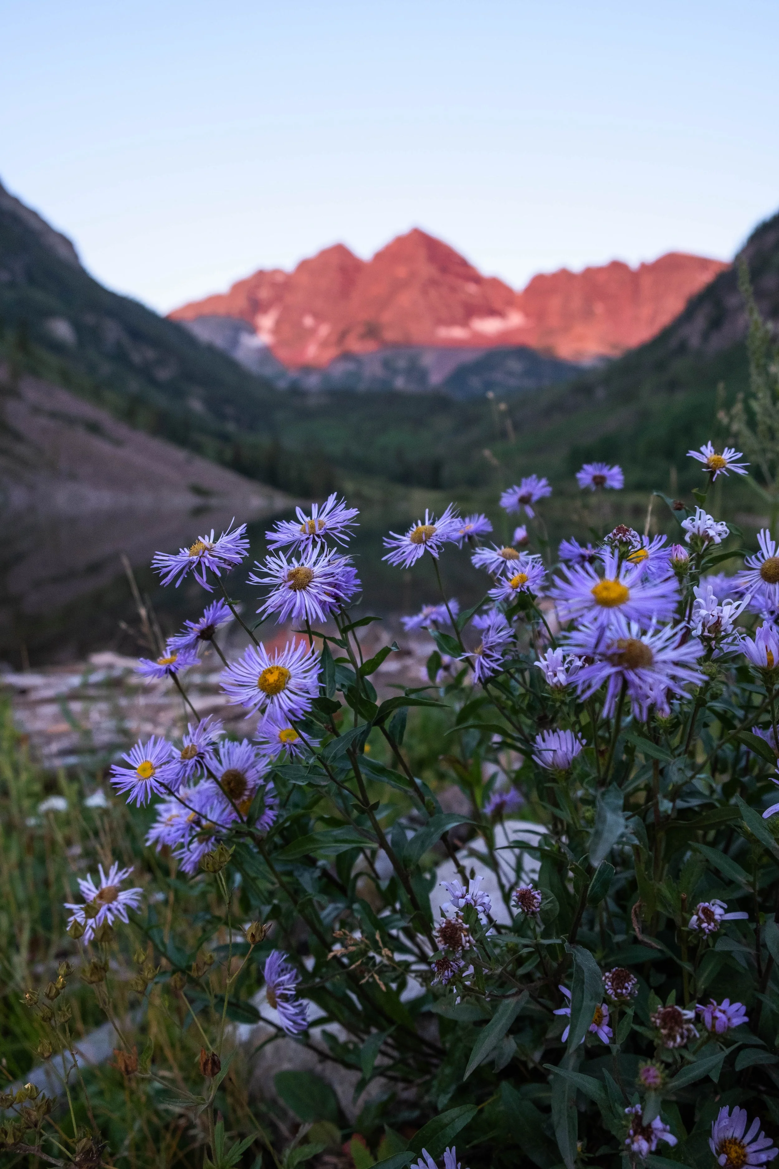
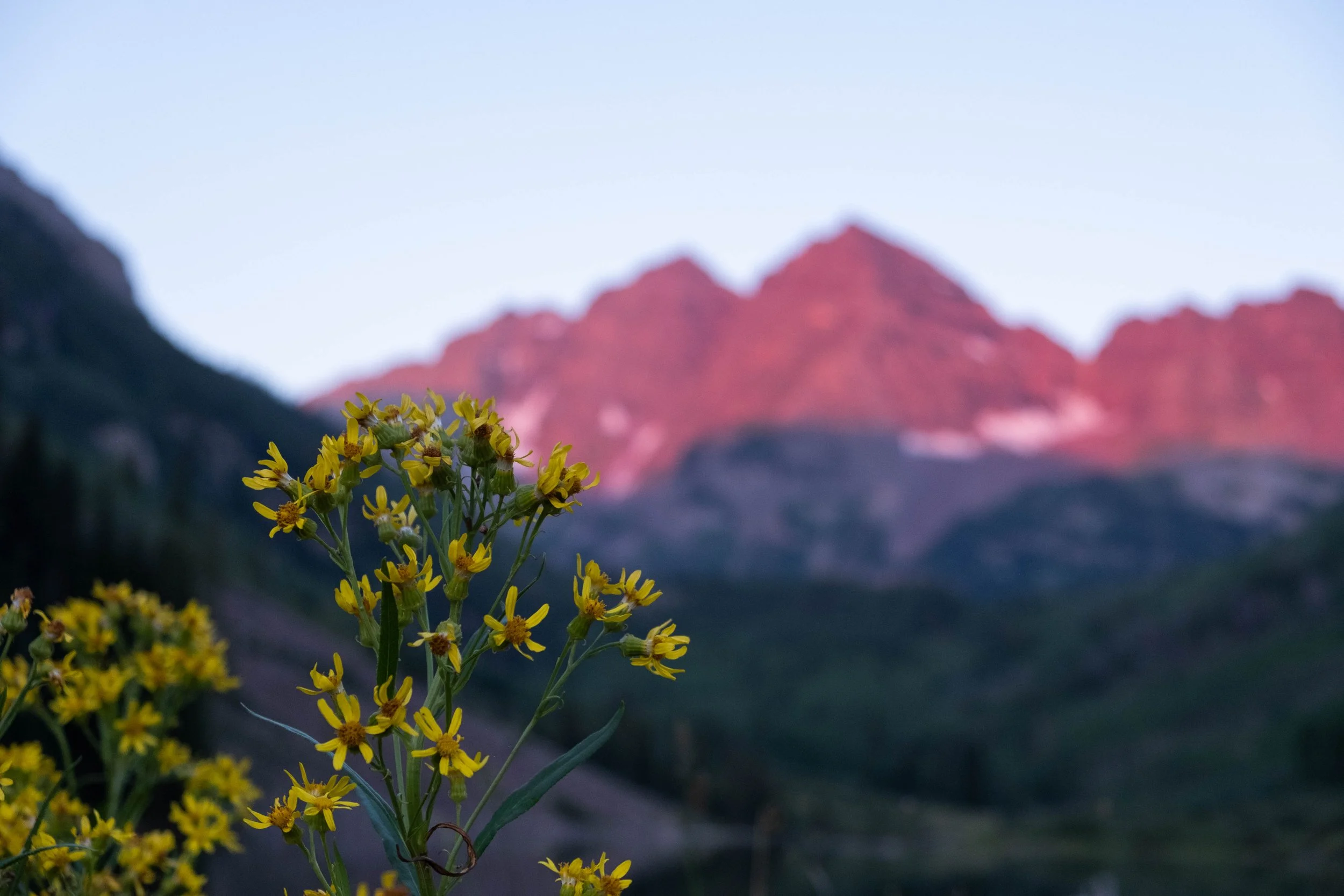
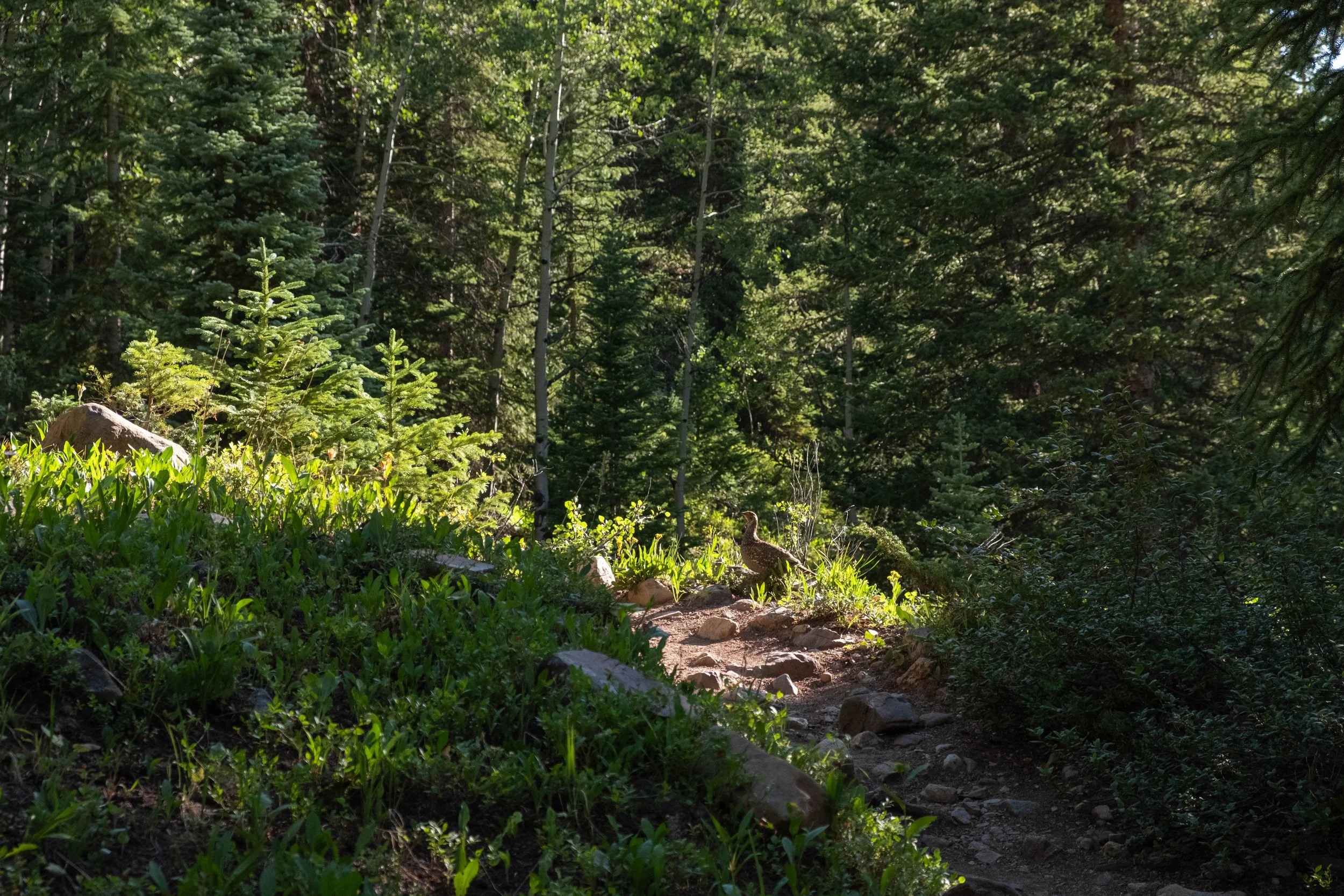
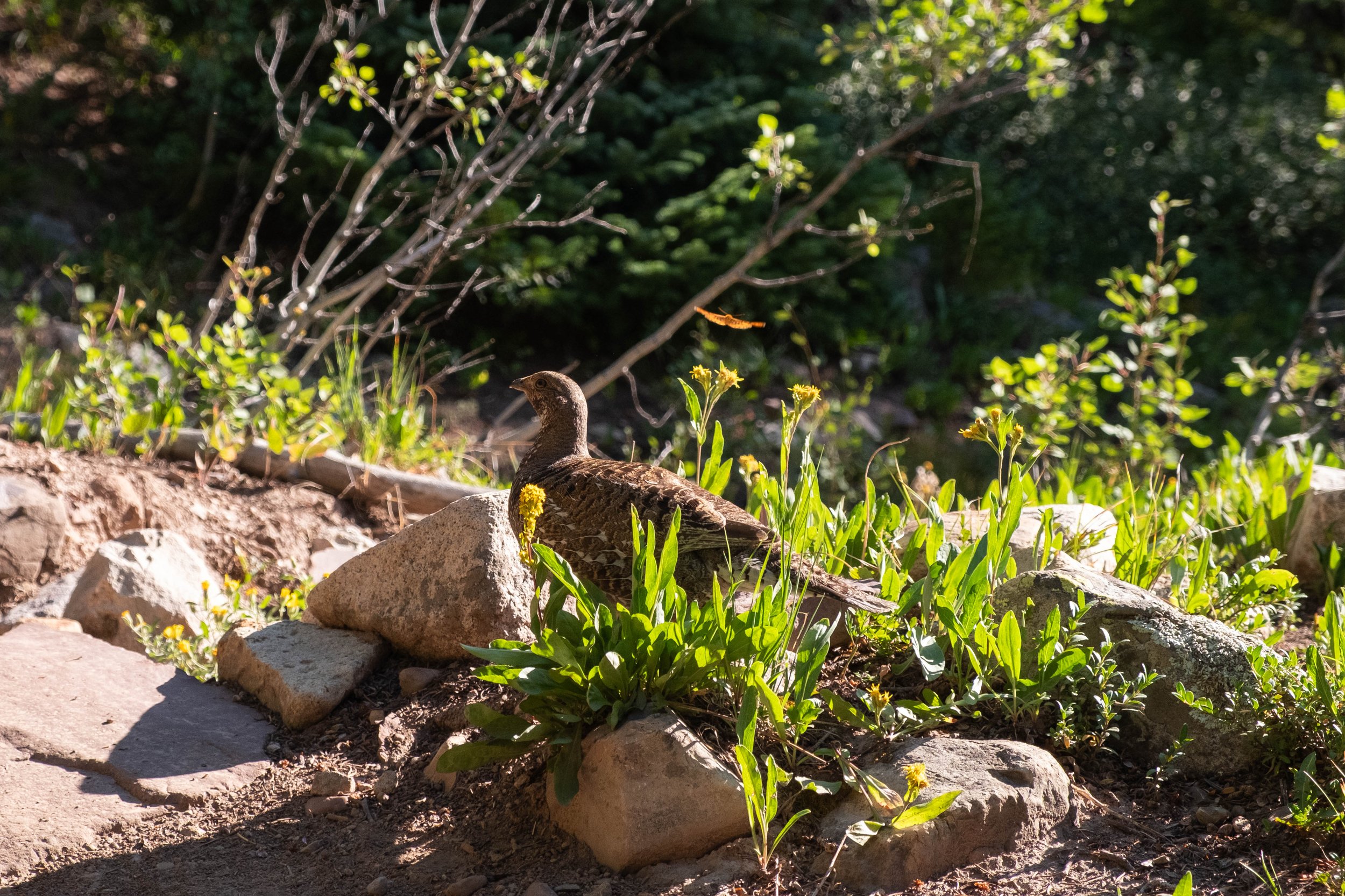
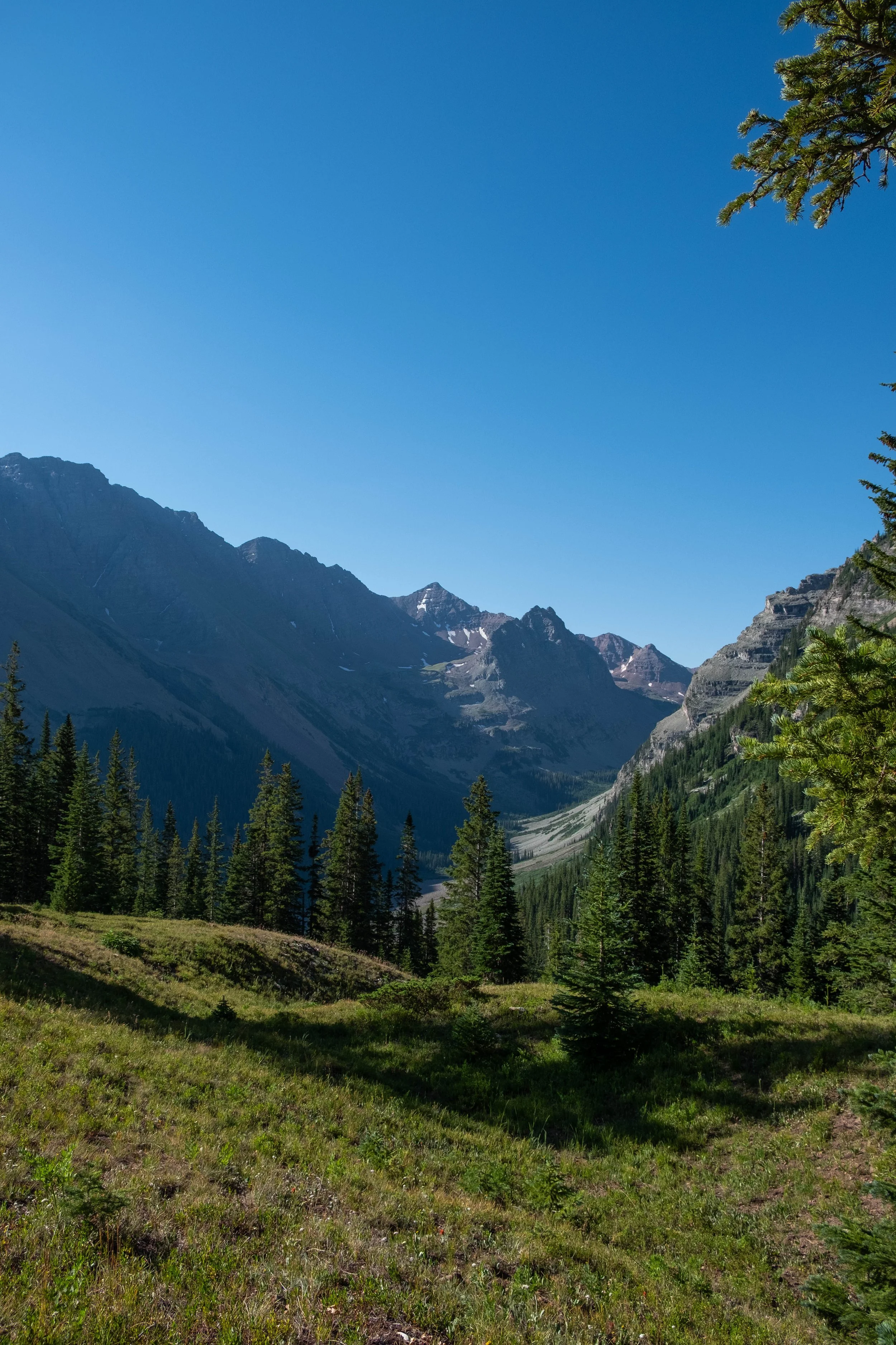
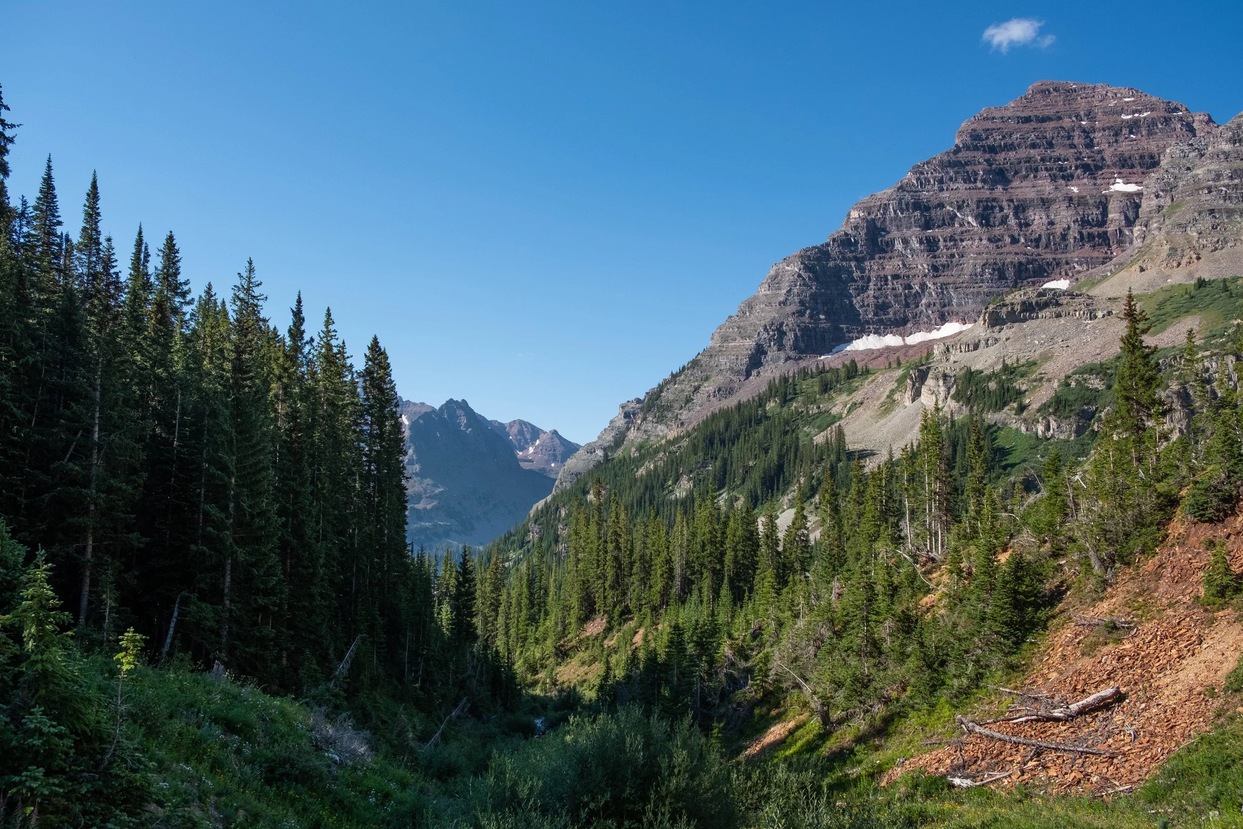
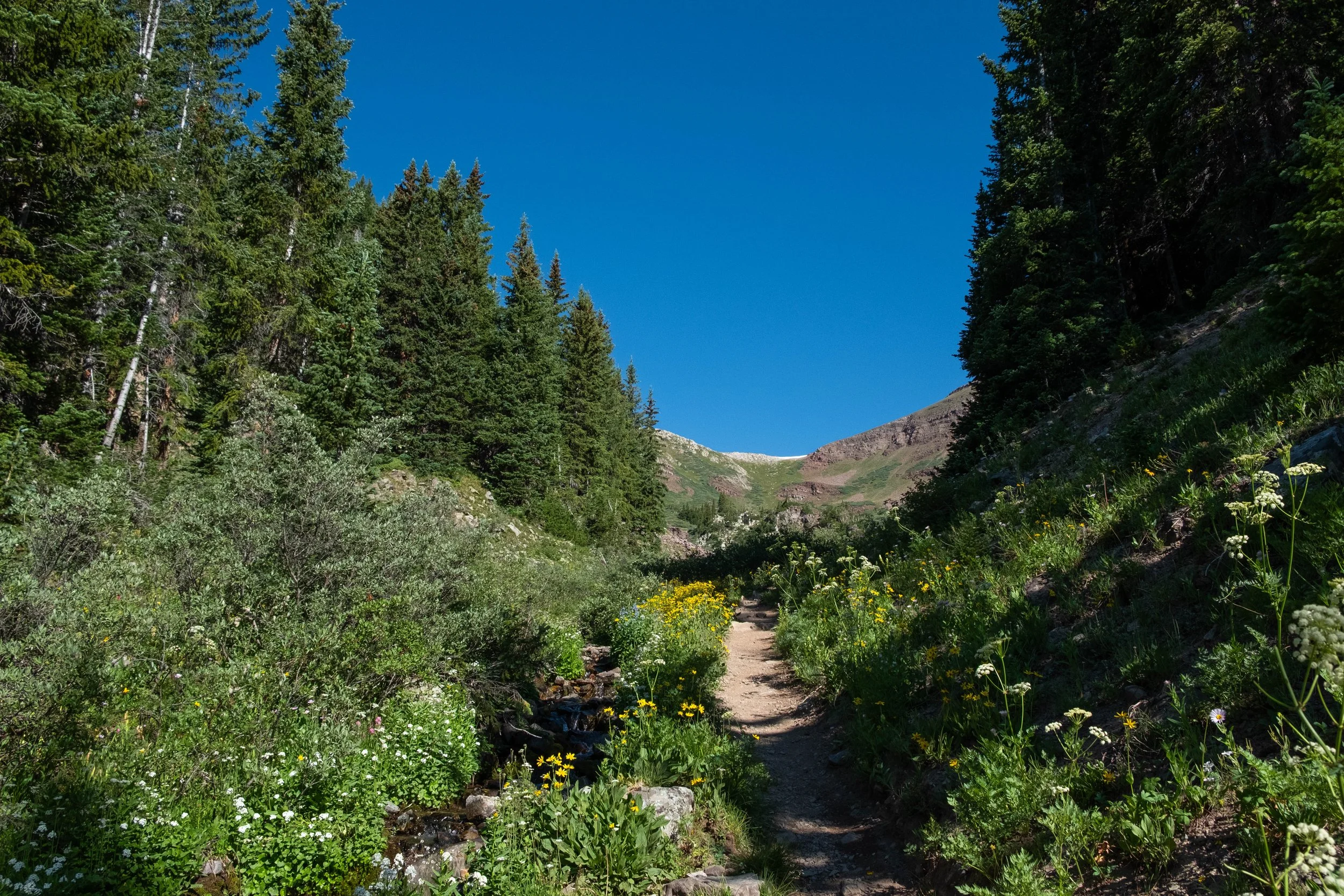
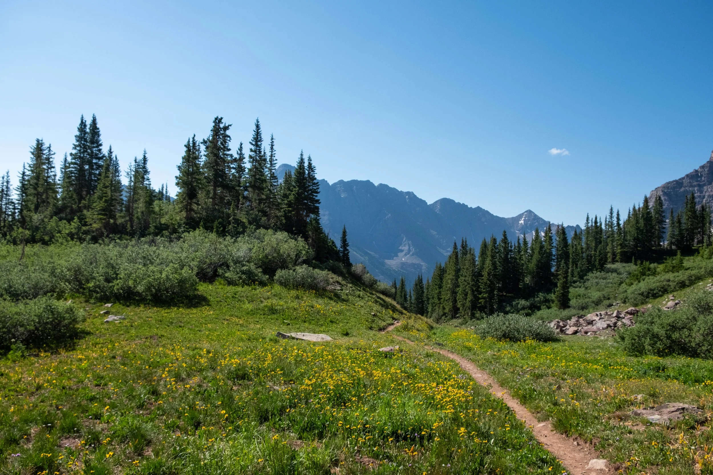
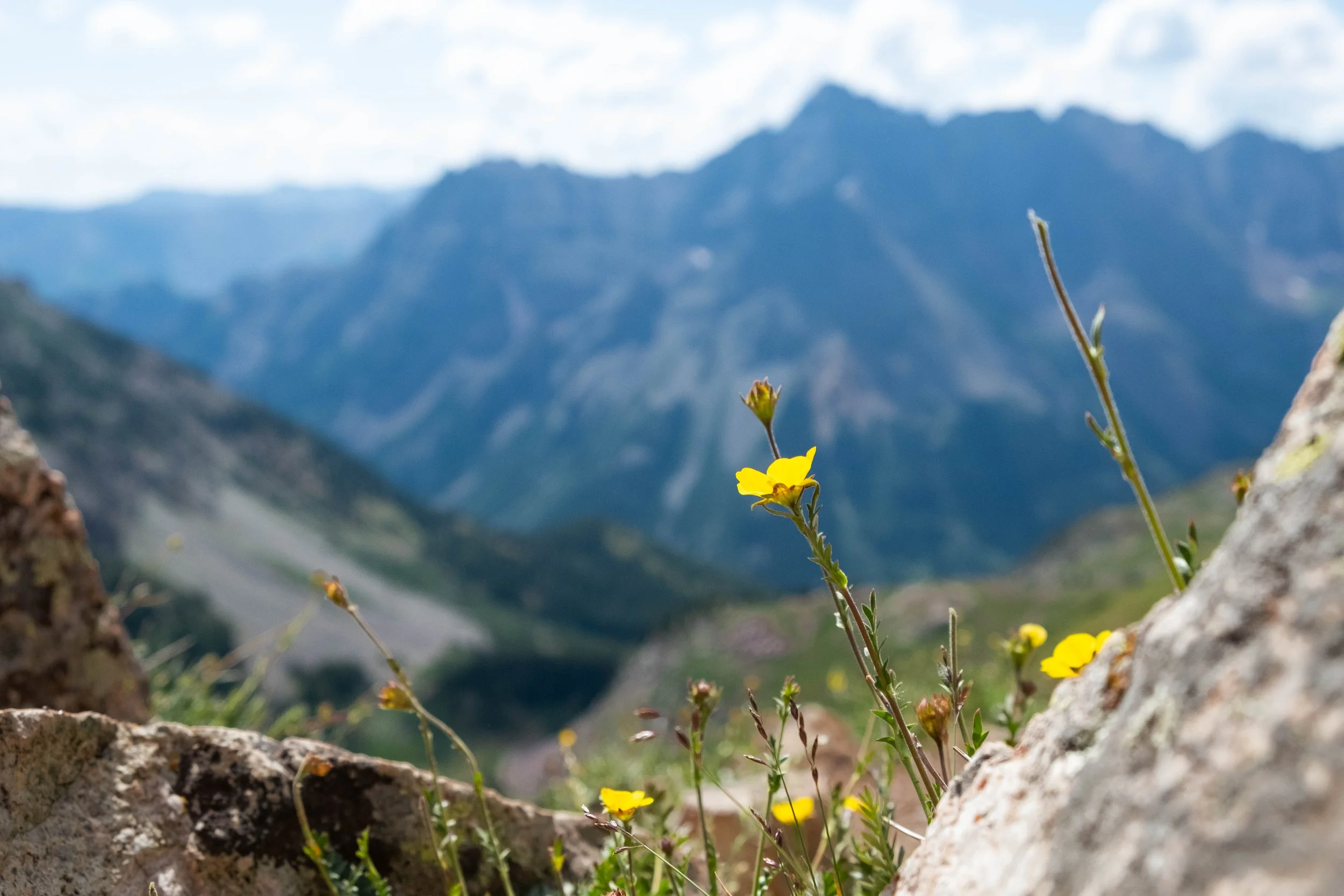
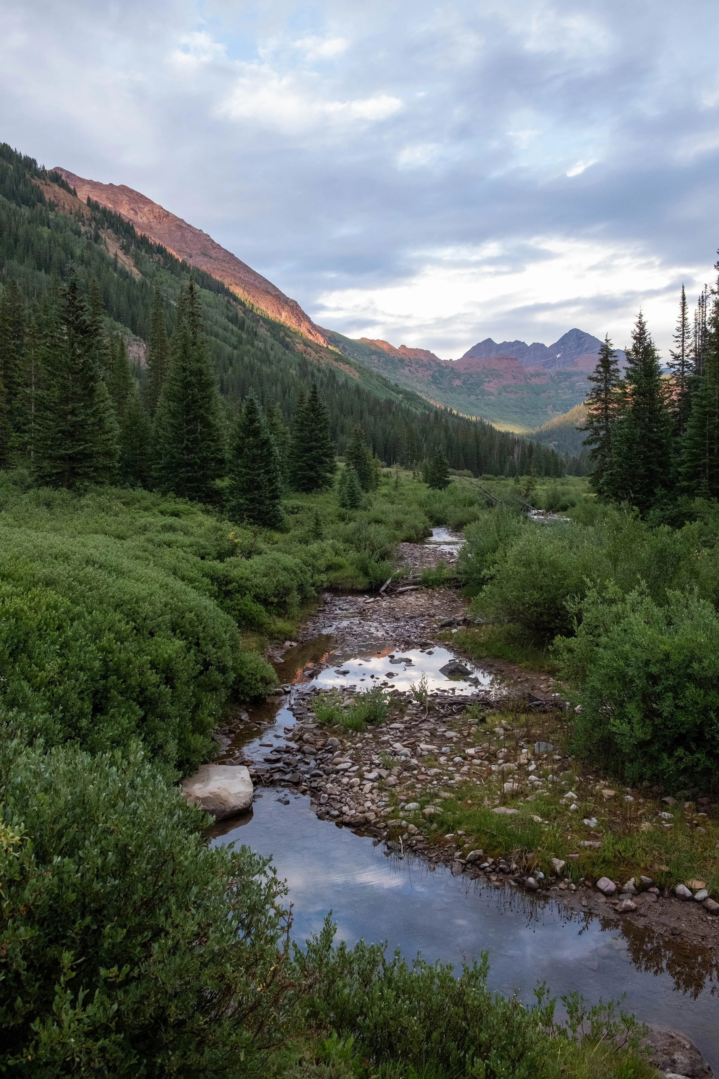
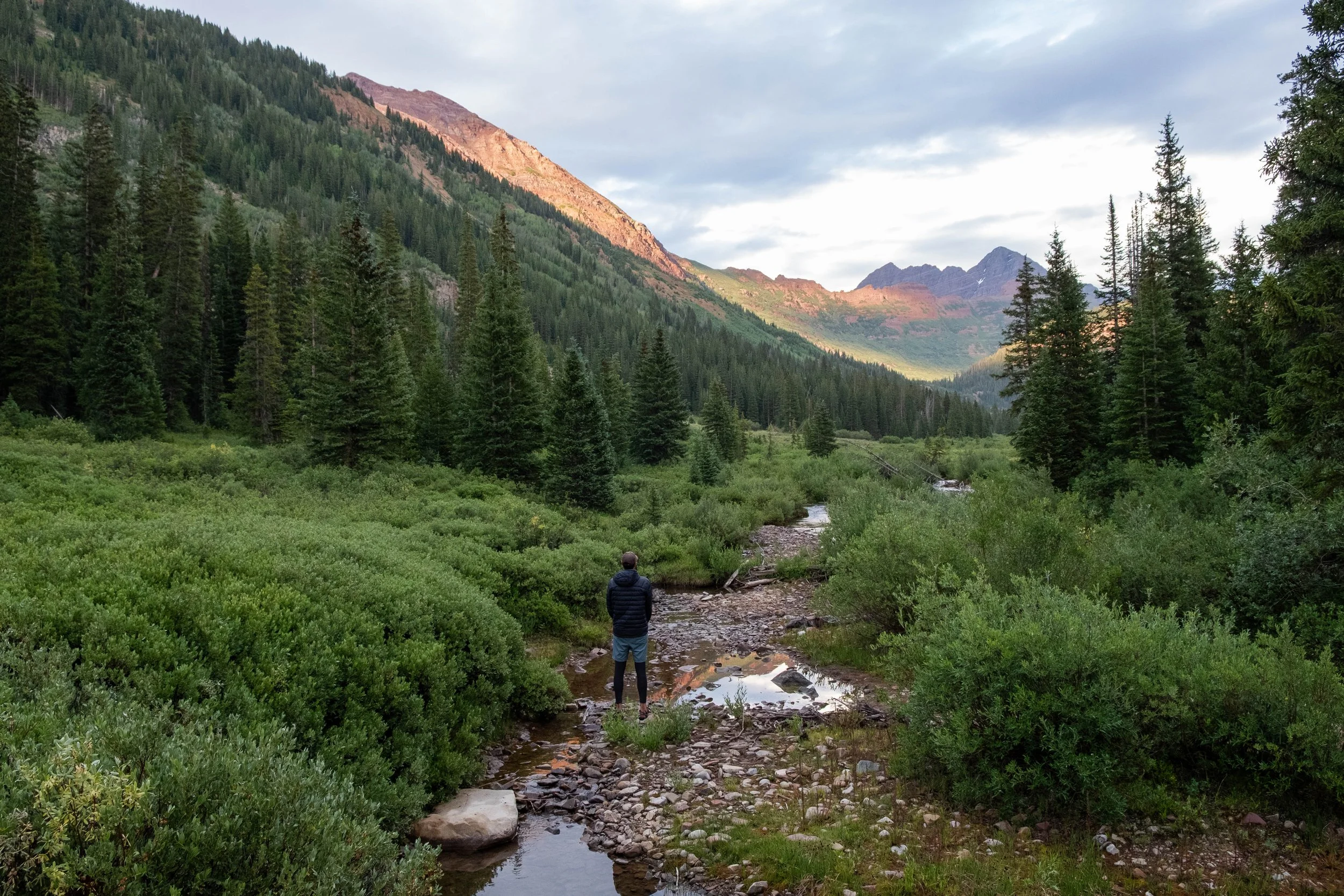
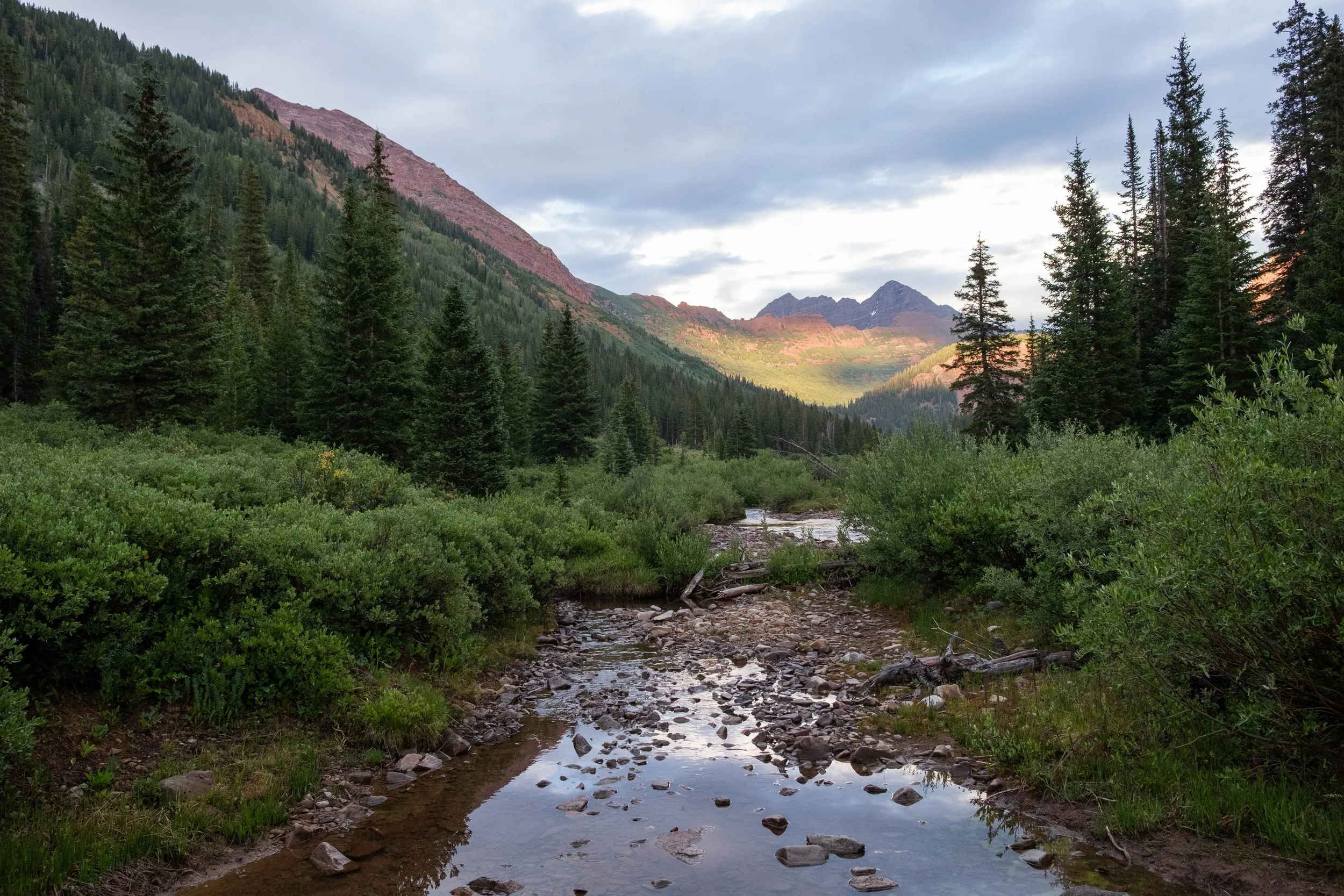
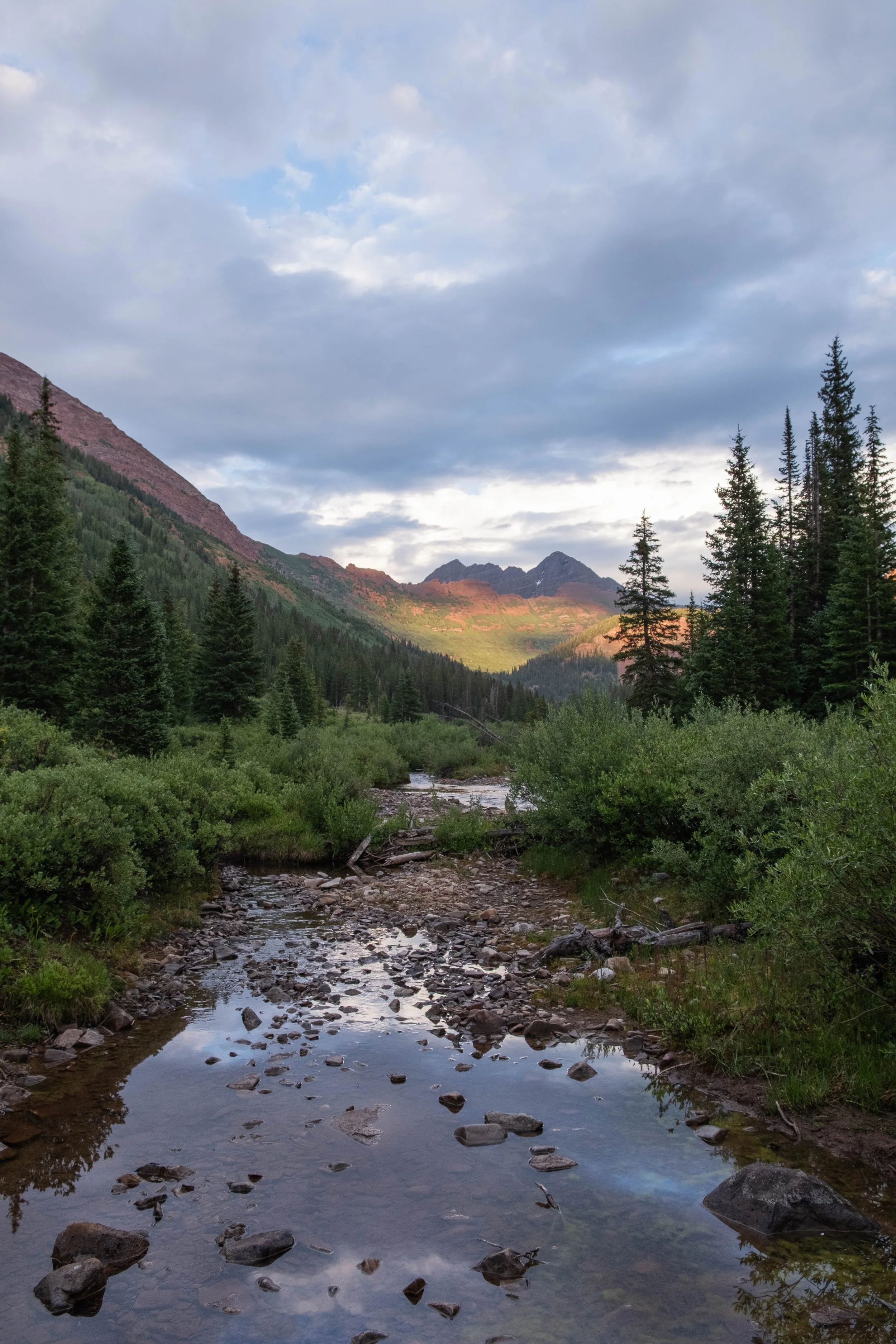
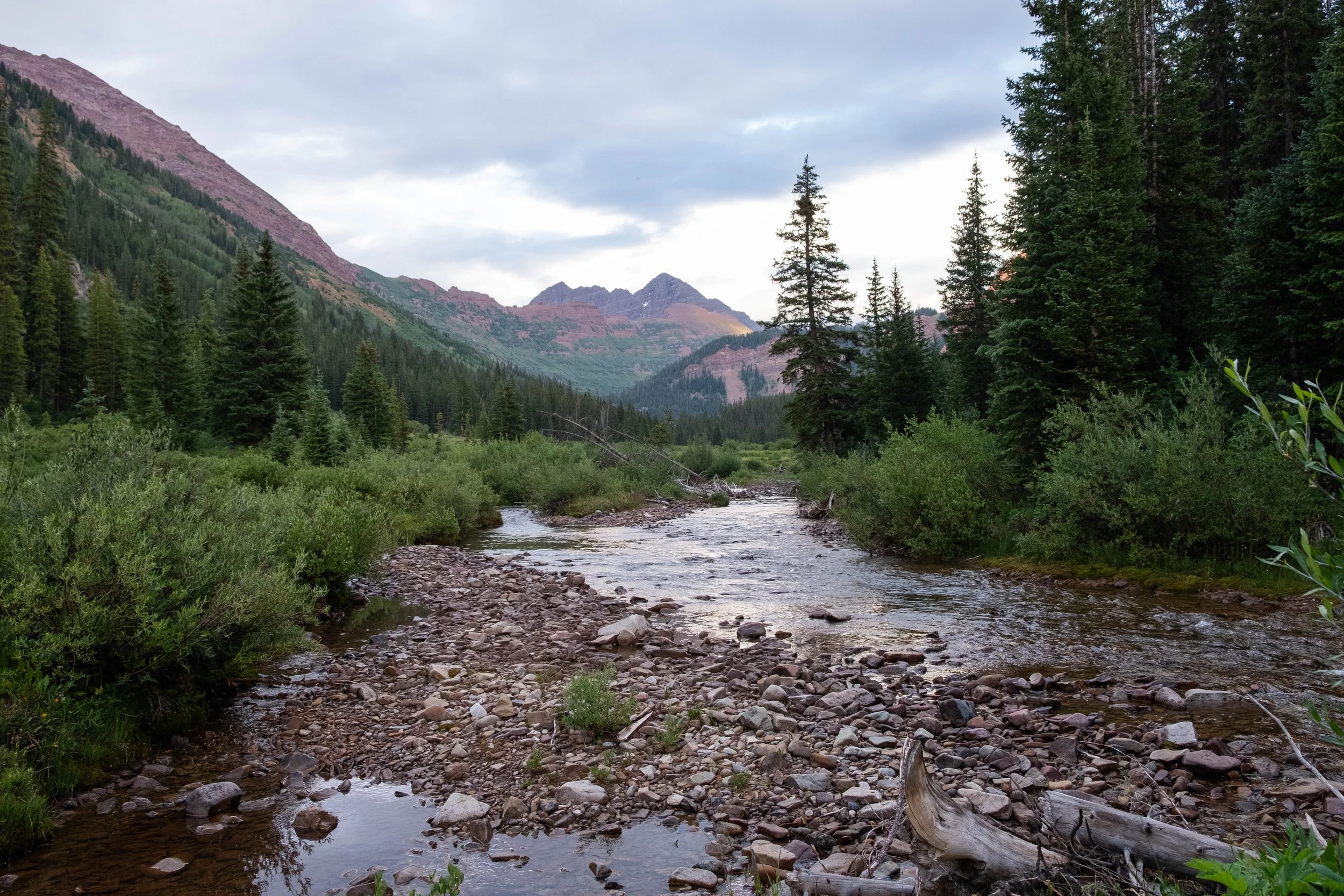
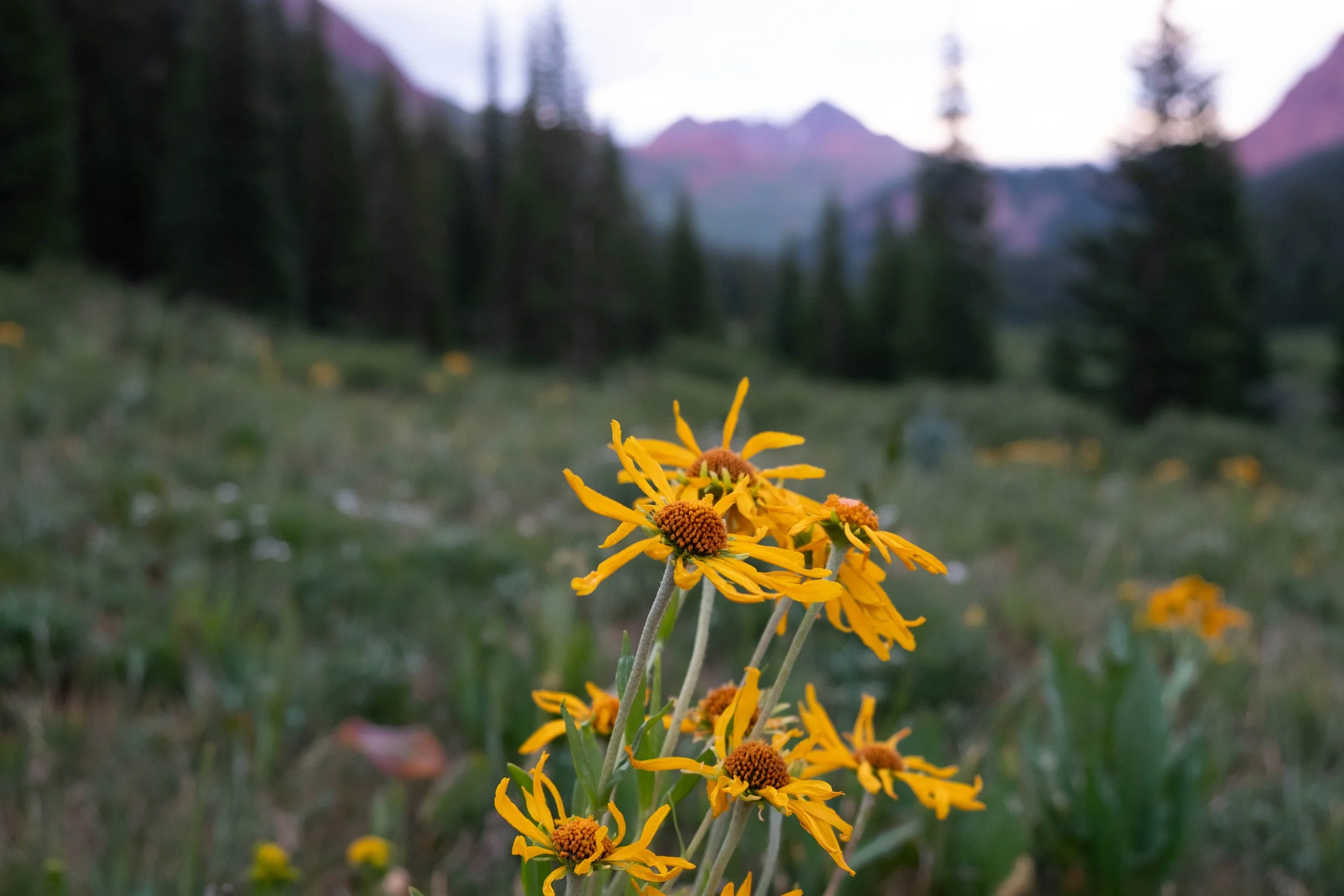
Fravert Basin is nothing short of magical. It’s mostly flat, surrounded by mountains on all sides, and the trail weaves gently through copses of pine trees and the riverine ecosystem. Golden morning light began filtering down into the valley, glimmering iridescently on dewdrops and the glassy surface of the river. Green gentian and columbines and bluebells greeted us around each turn, along with dozens of other wildflowers whose names I don’t know. At the far end of the valley is a fairytale-like waterfall cascading down a cliff; we noted and mentally tucked away several dispersed campsites in this area that we would love to stay in one day before beginning our first climb of the day.
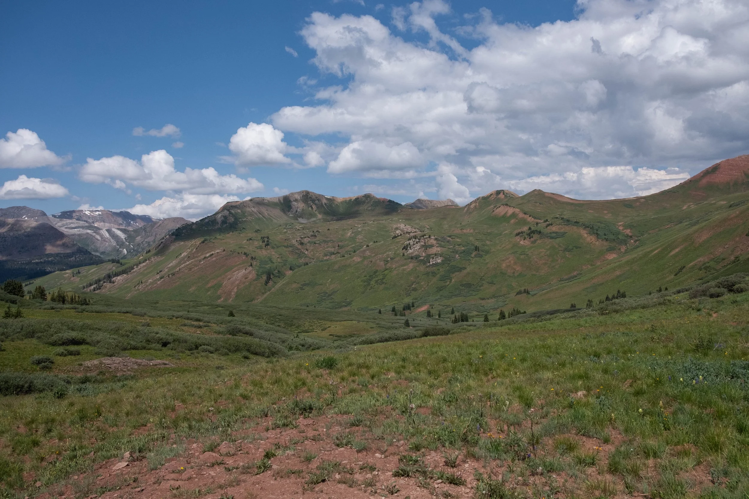
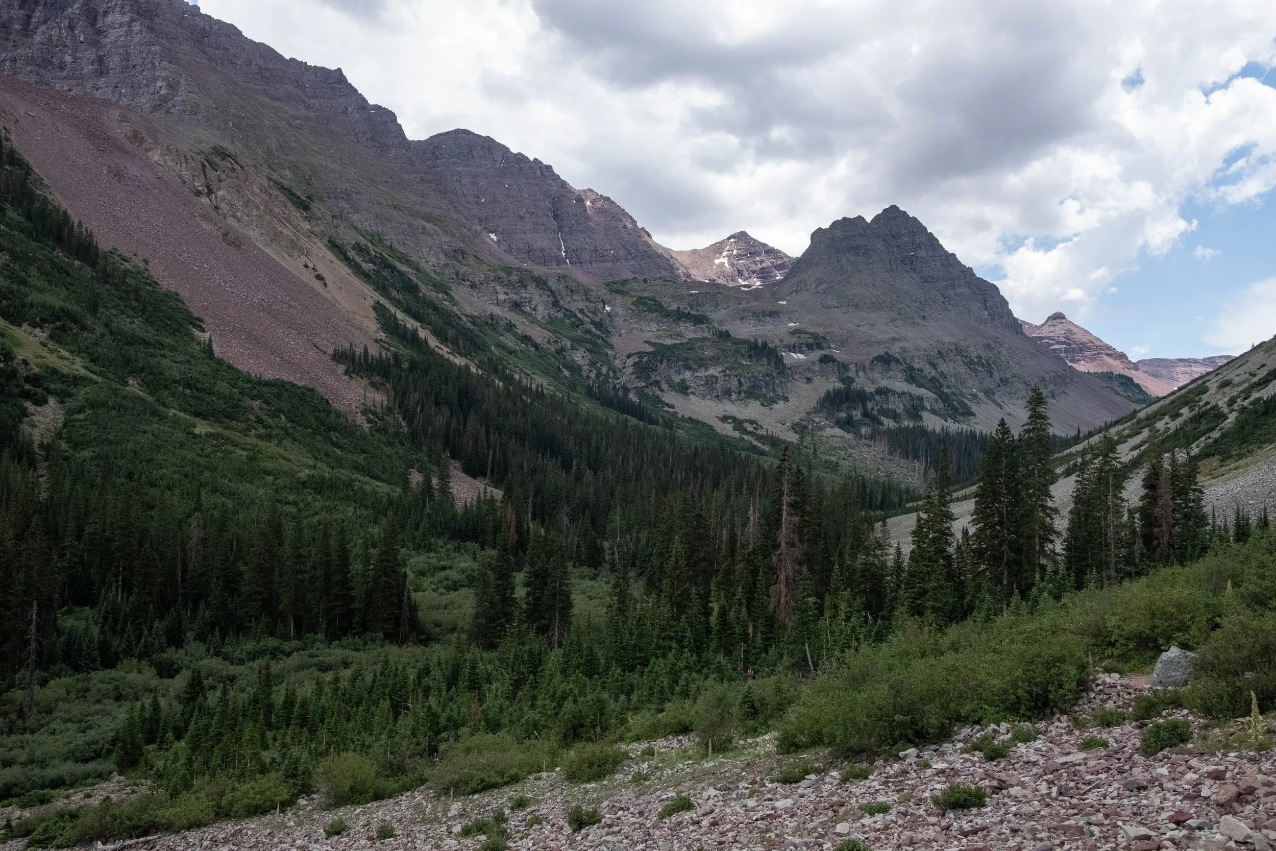
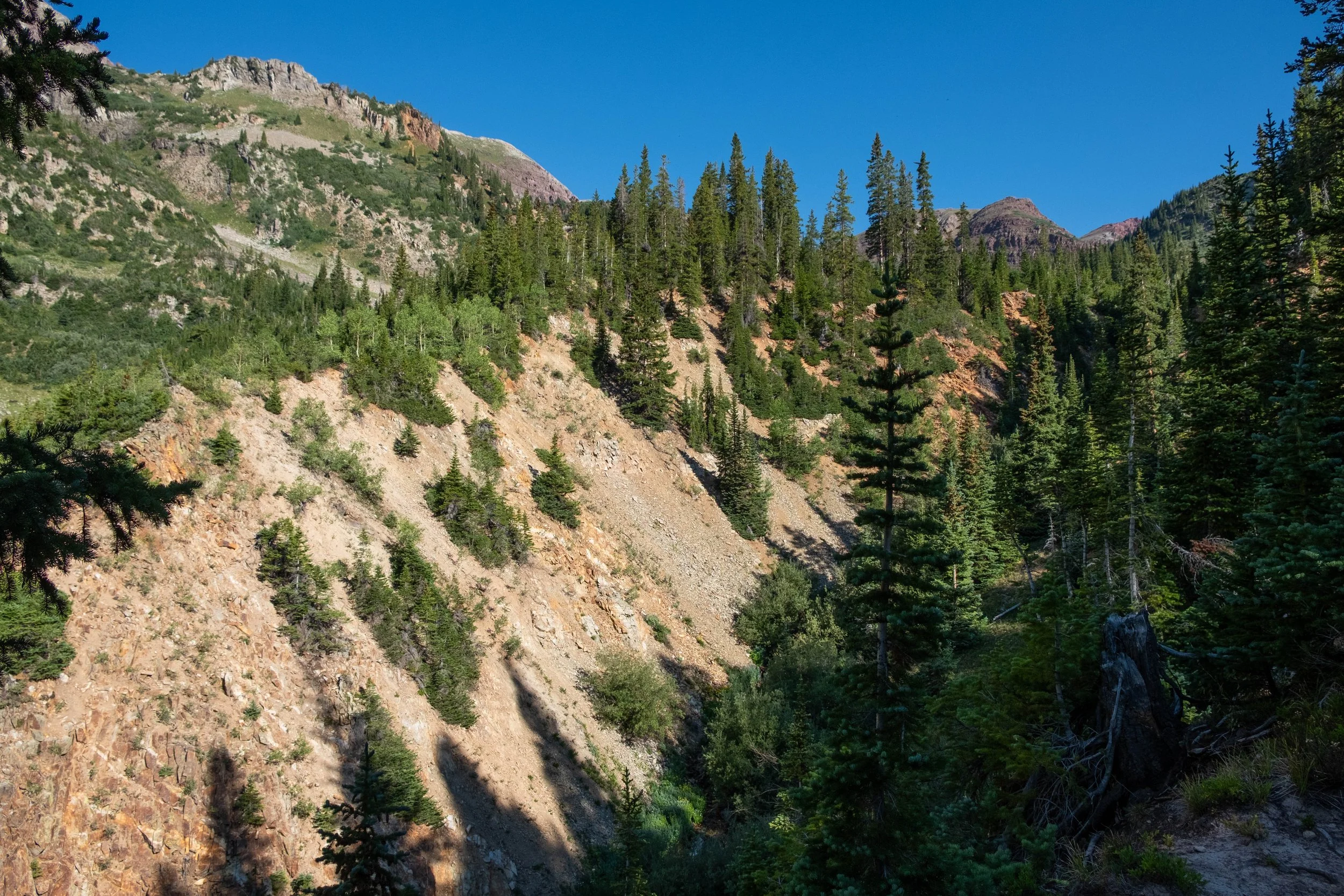
Overall, the second day of the hike did feel a bit more mellow than the first day. I won’t say that Frigid Air Pass is easy, but it was a gradual climb to the top — none of the sharp drop-offs or severe grades that we’d experienced the day before. We took it slow and steady, reveling in the views around us as well as discussing in great detail the meal(s) that we intended to eat once we completed the trail later that day. We topped Frigid Air by mid-morning, then following the trail down an initial steep drop on the other side before it flattened into a shallow saddle leading toward our fourth and final pass: West Maroon.
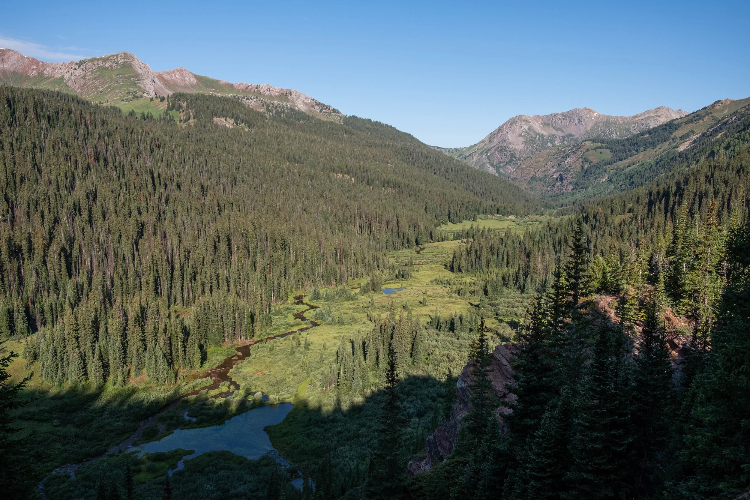
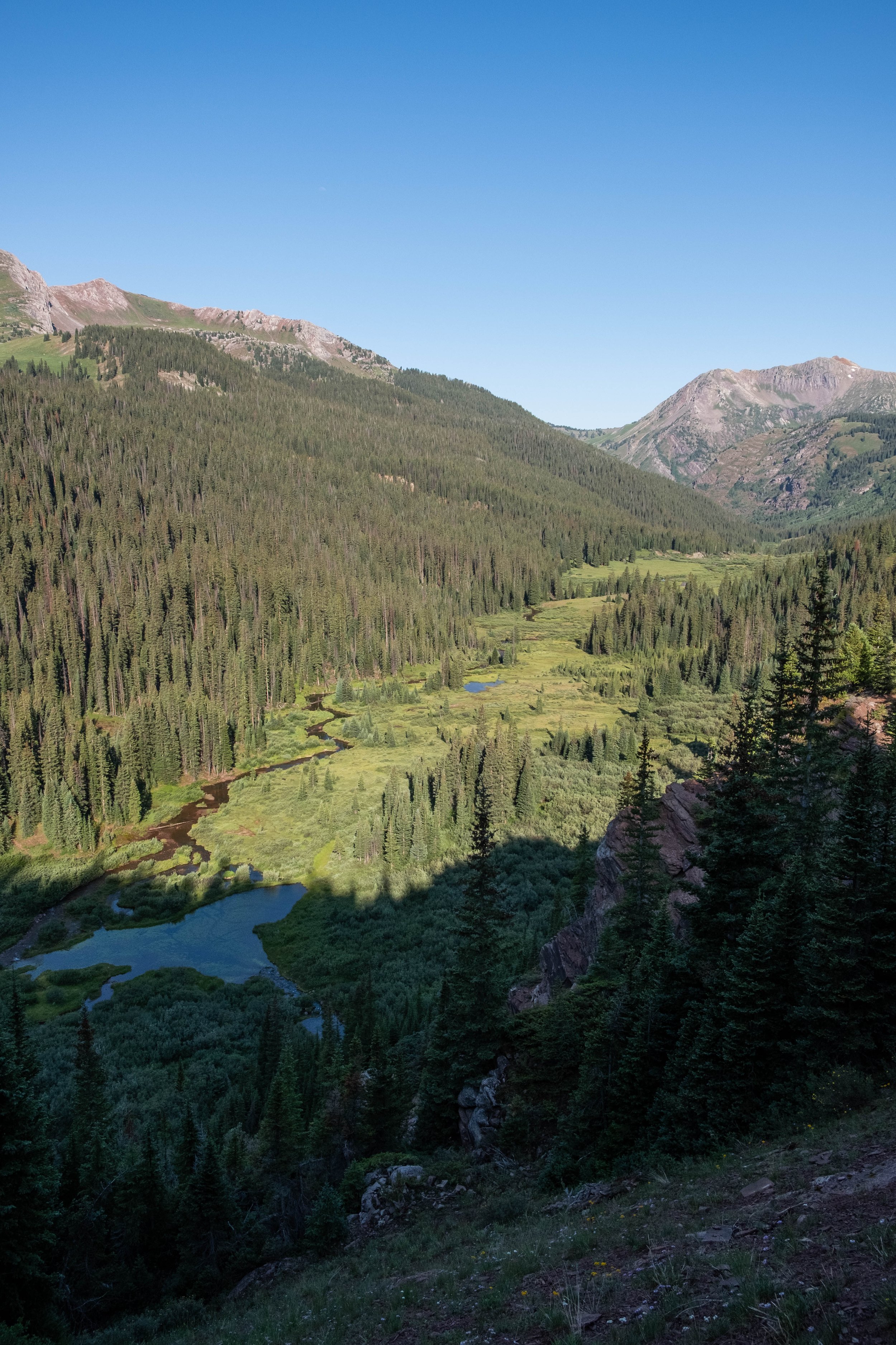
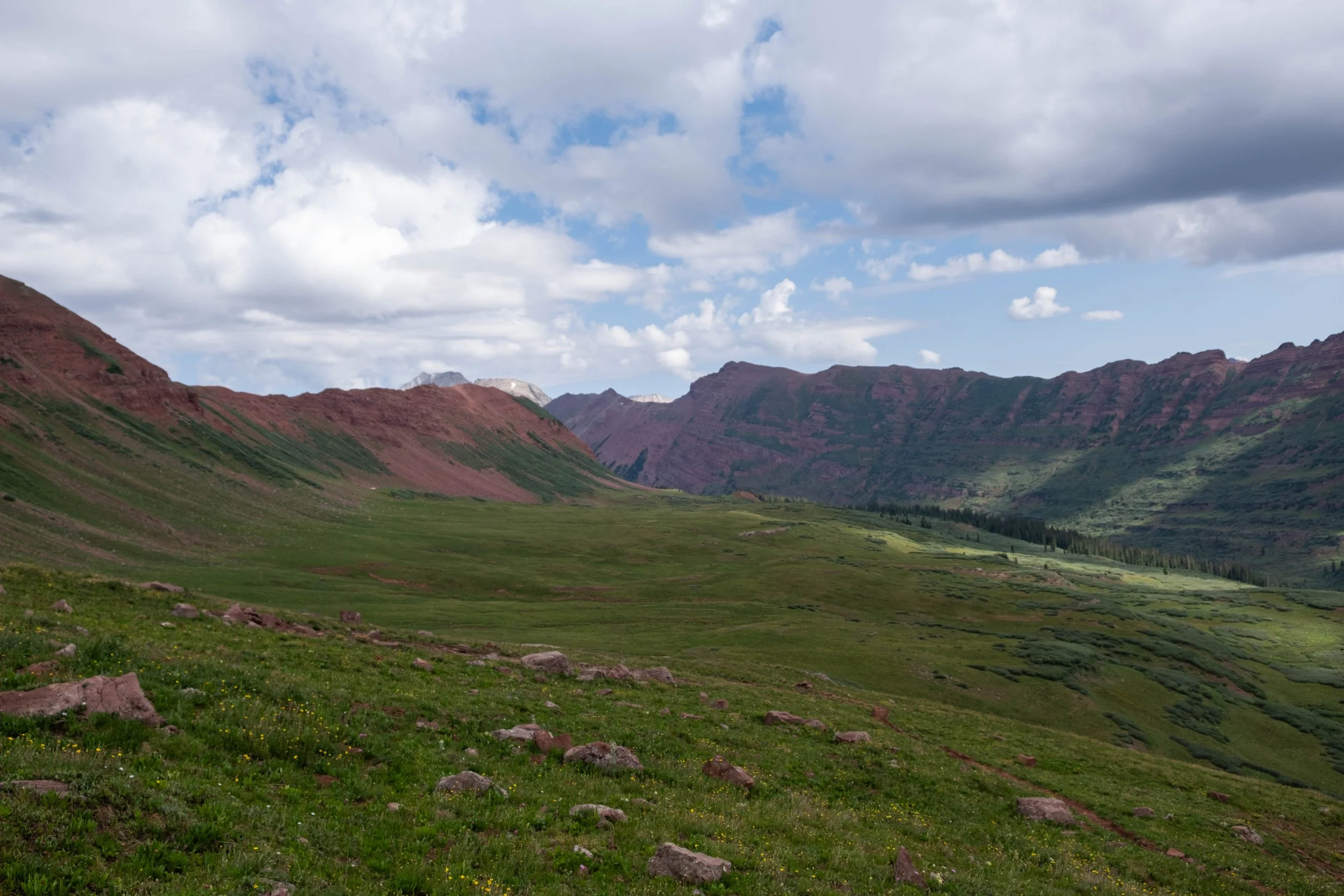
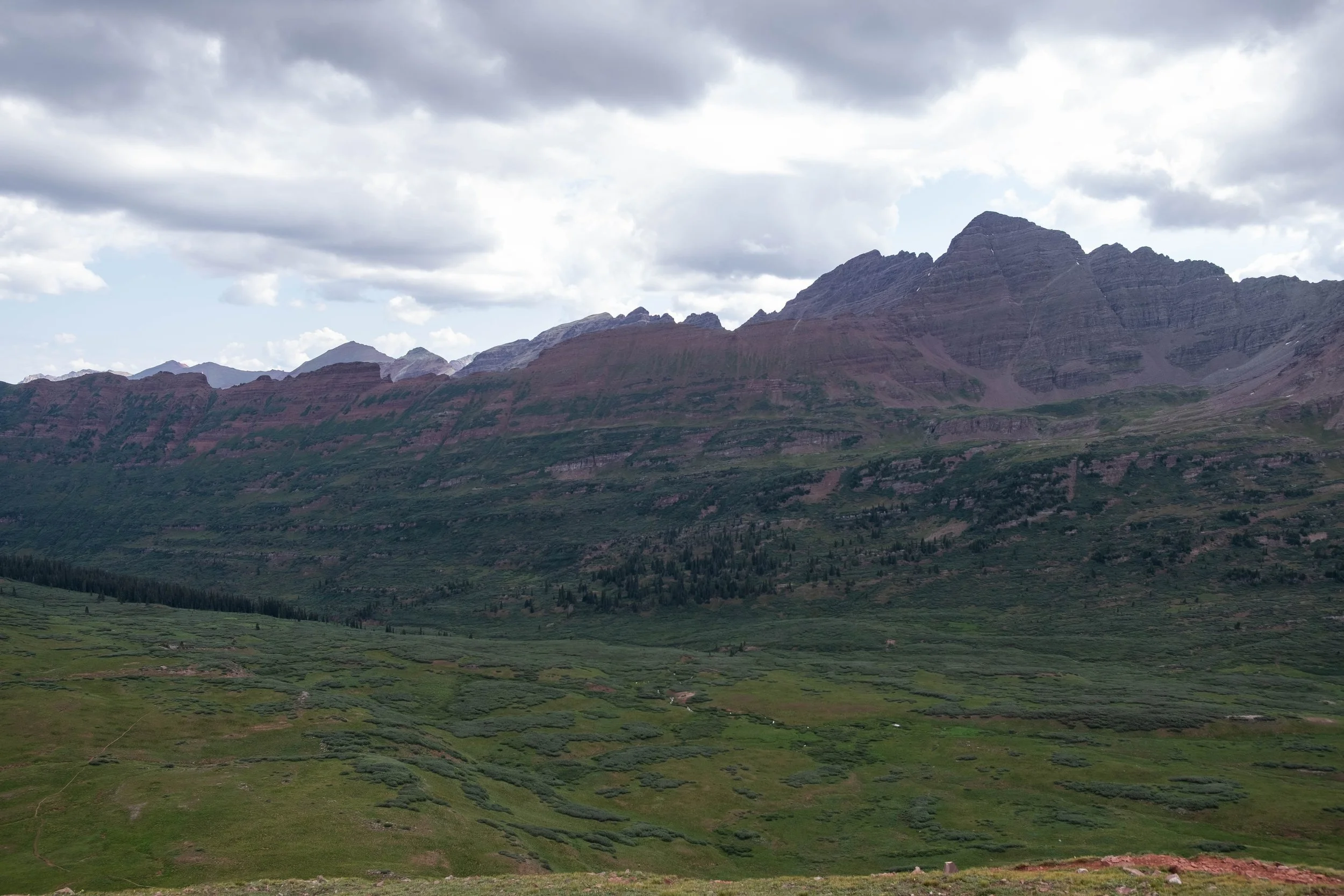
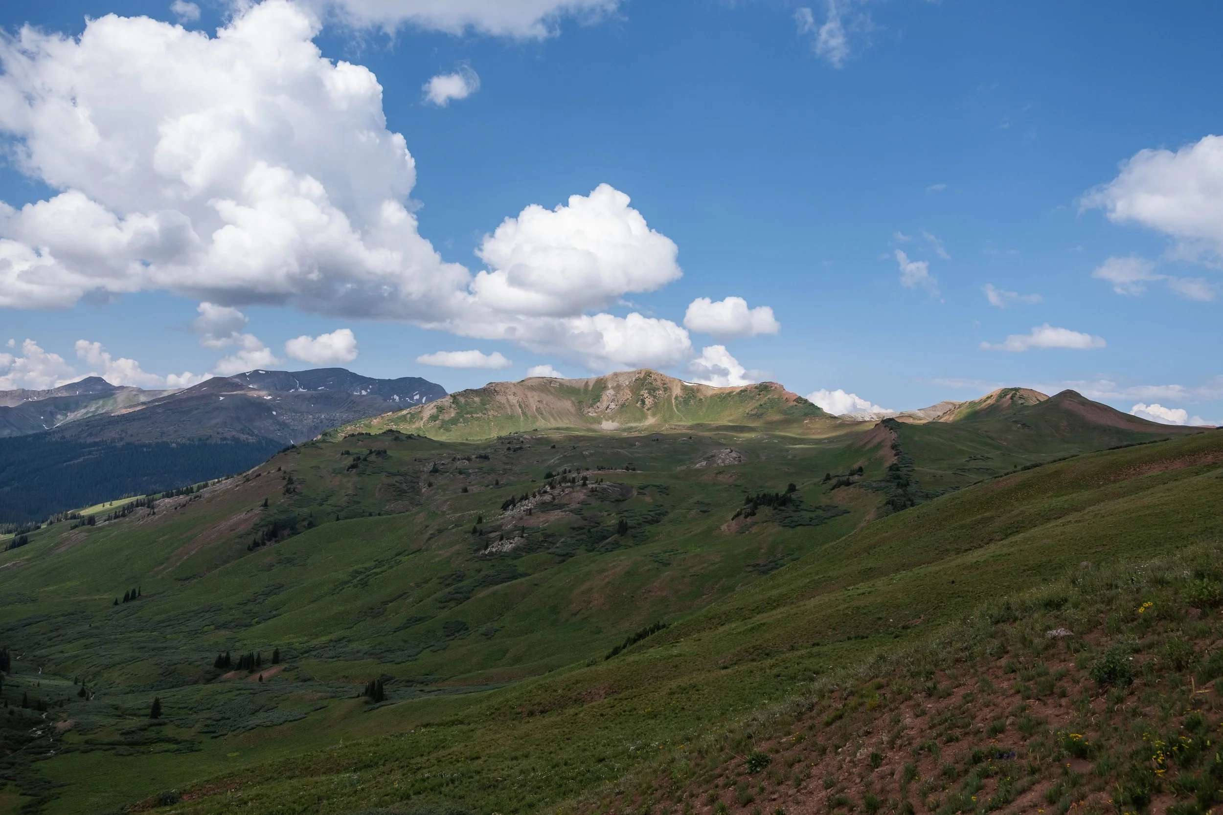
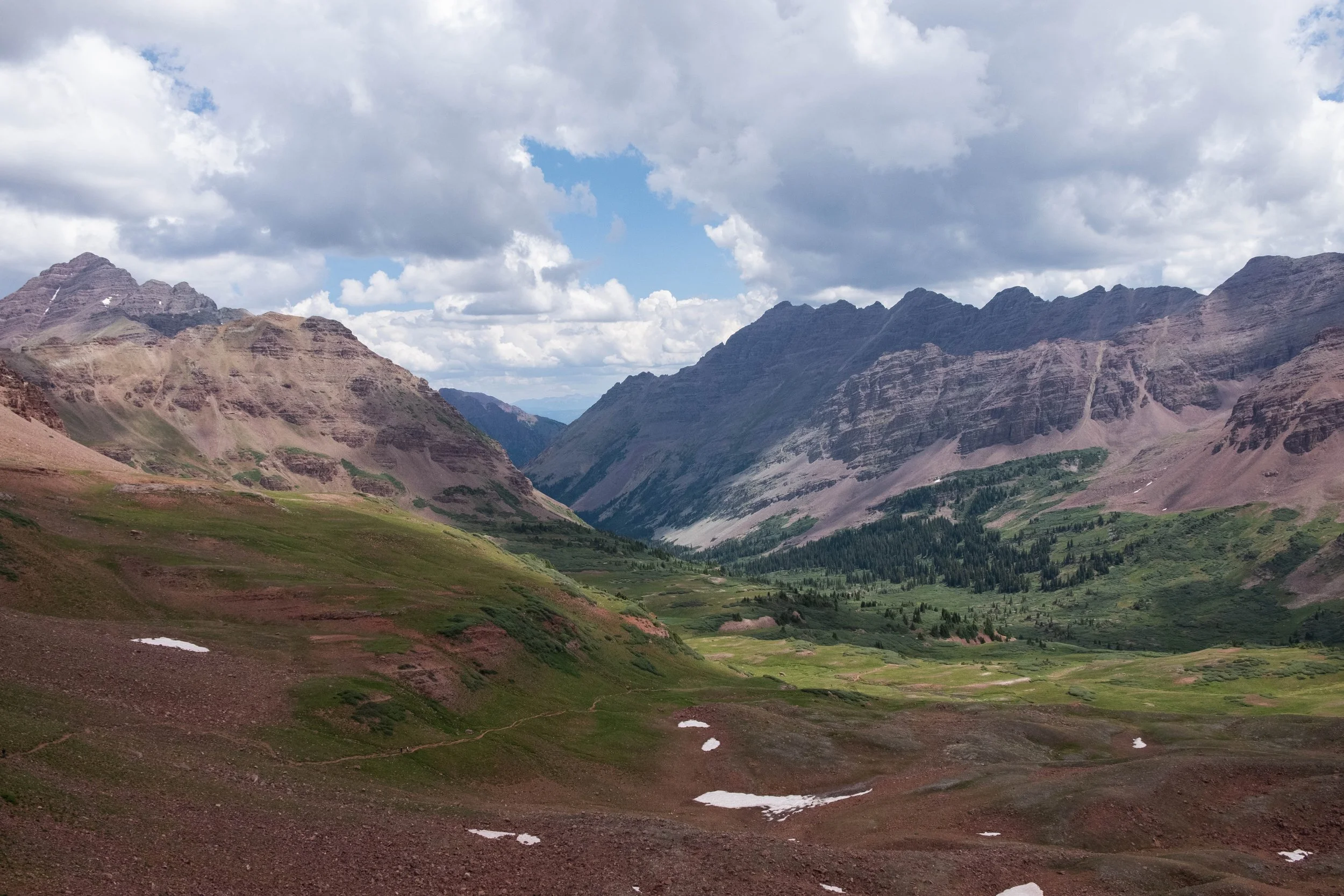
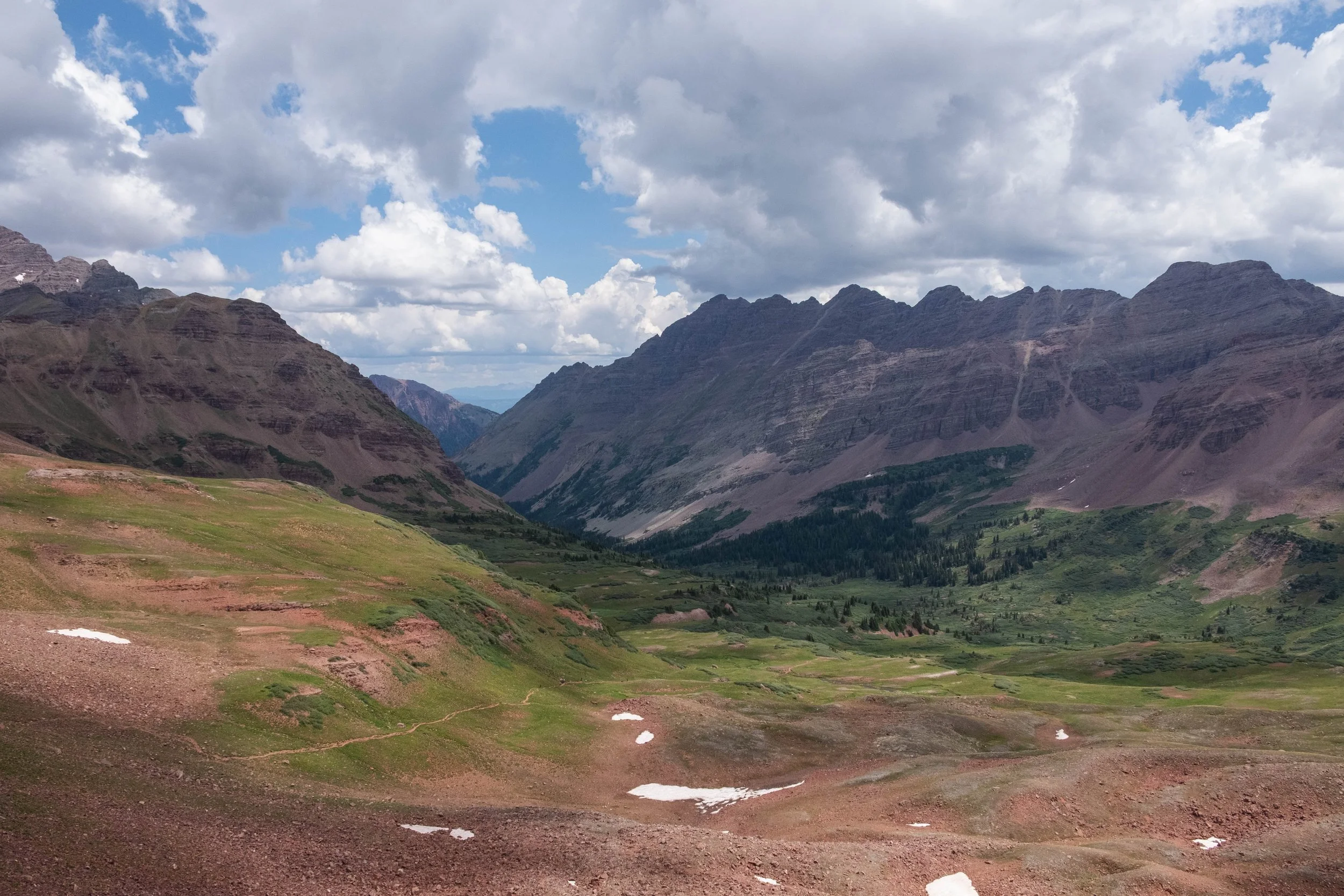
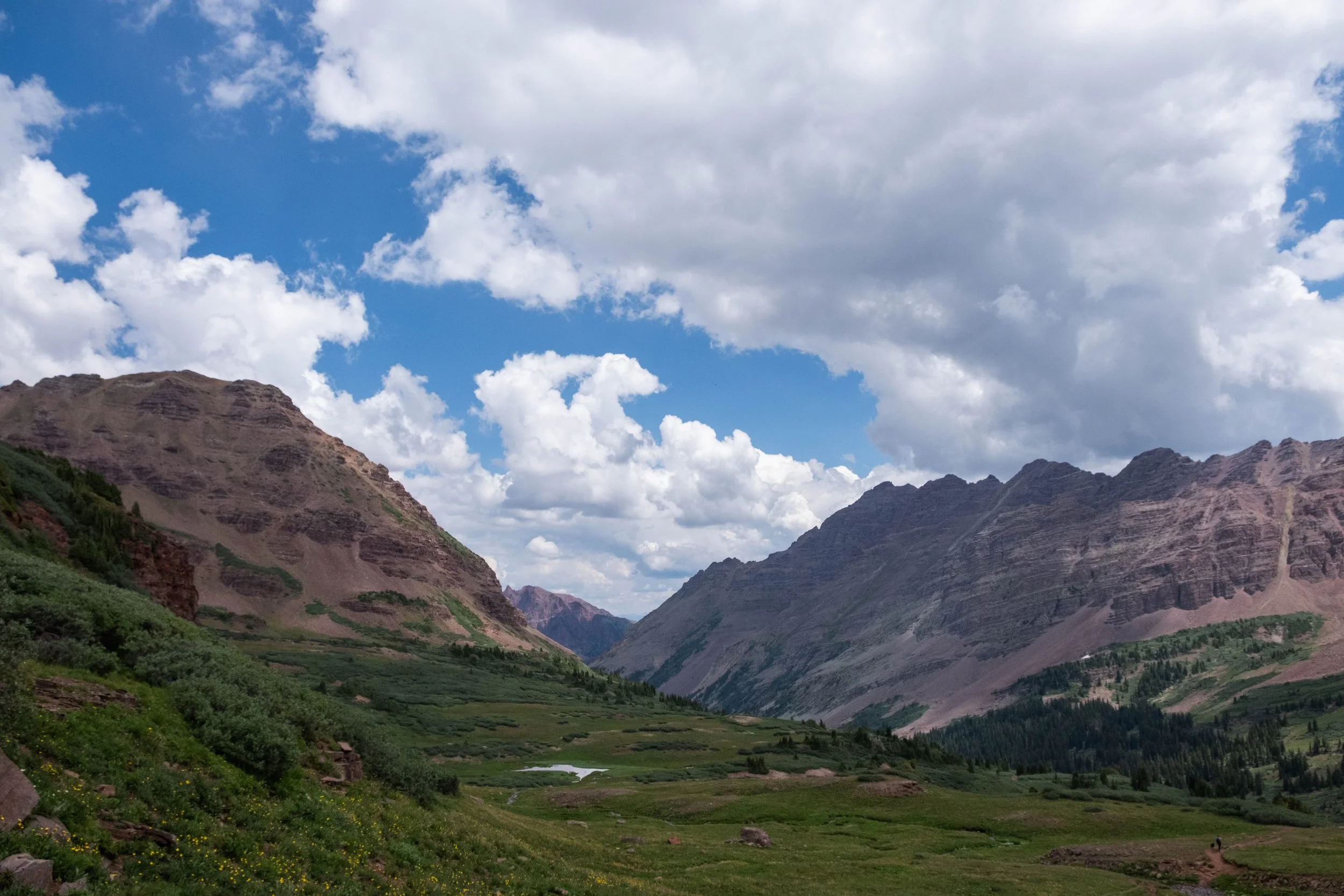
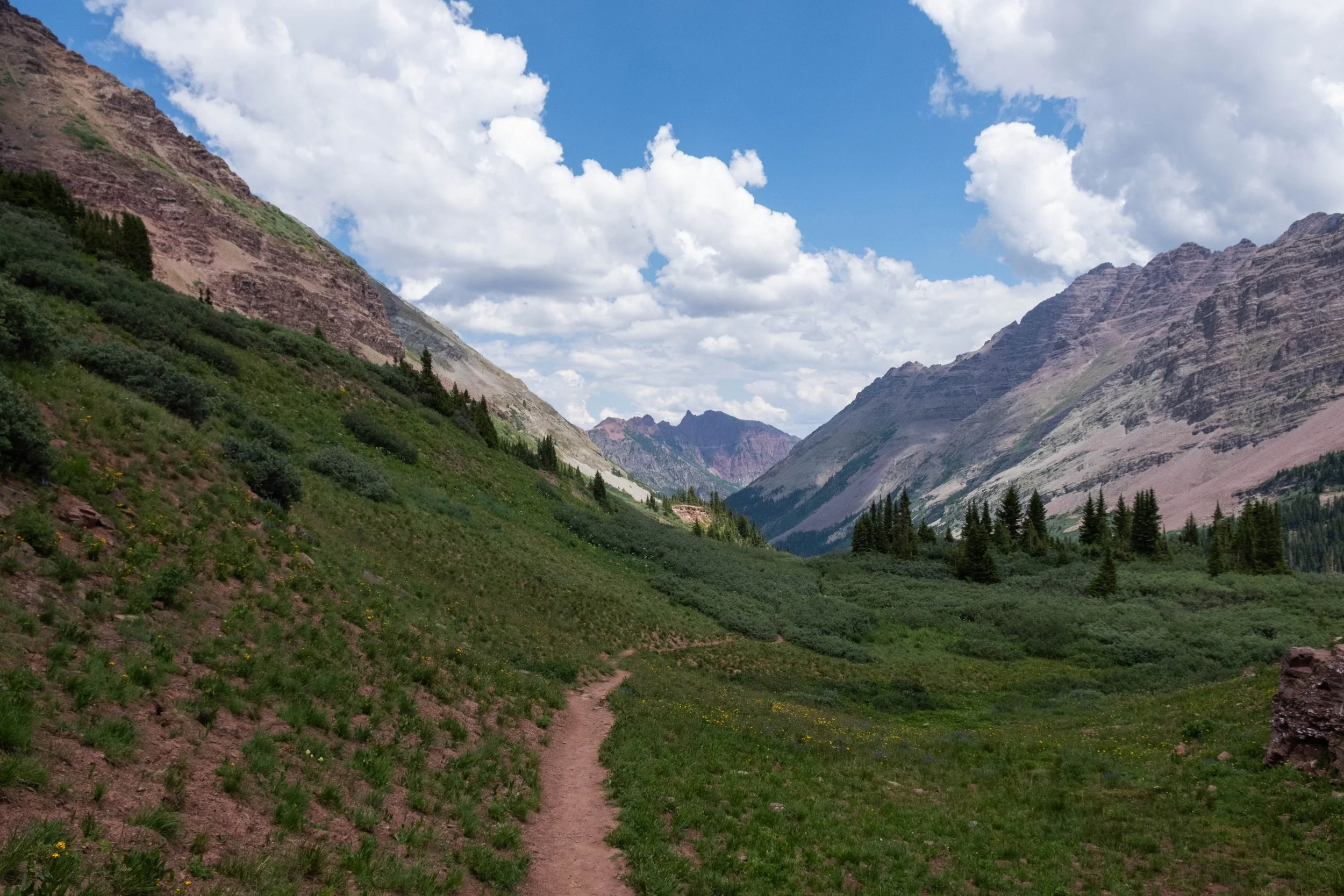
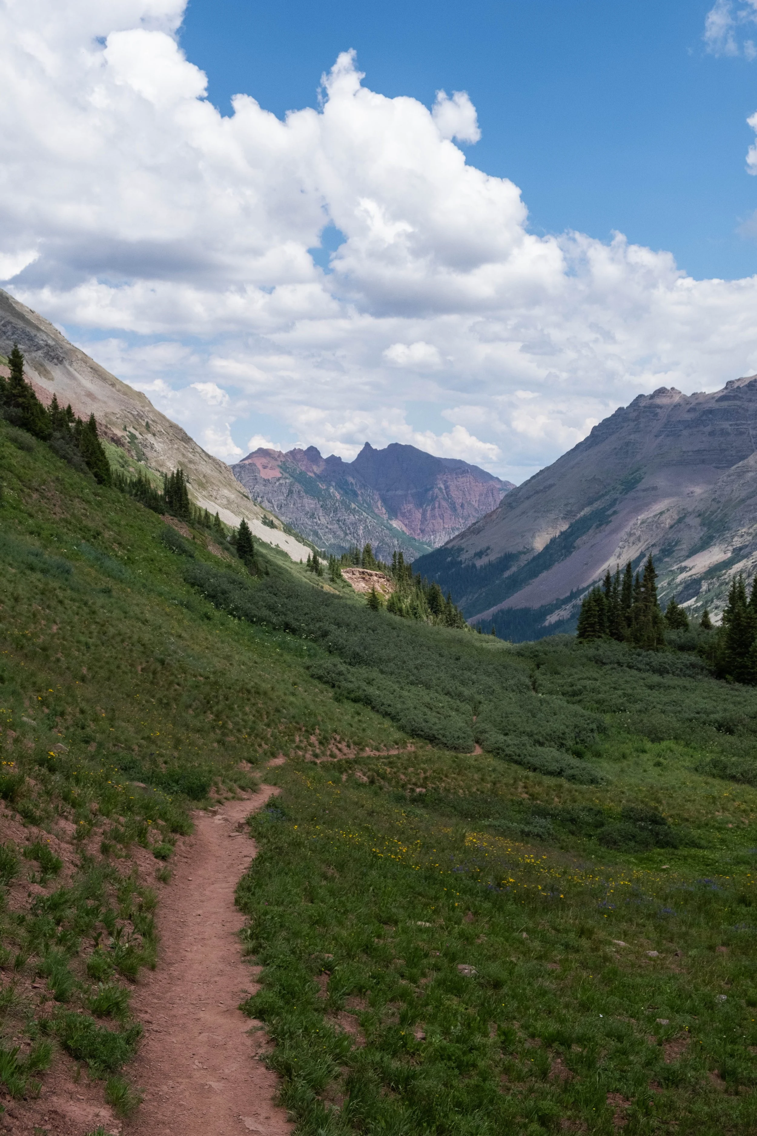
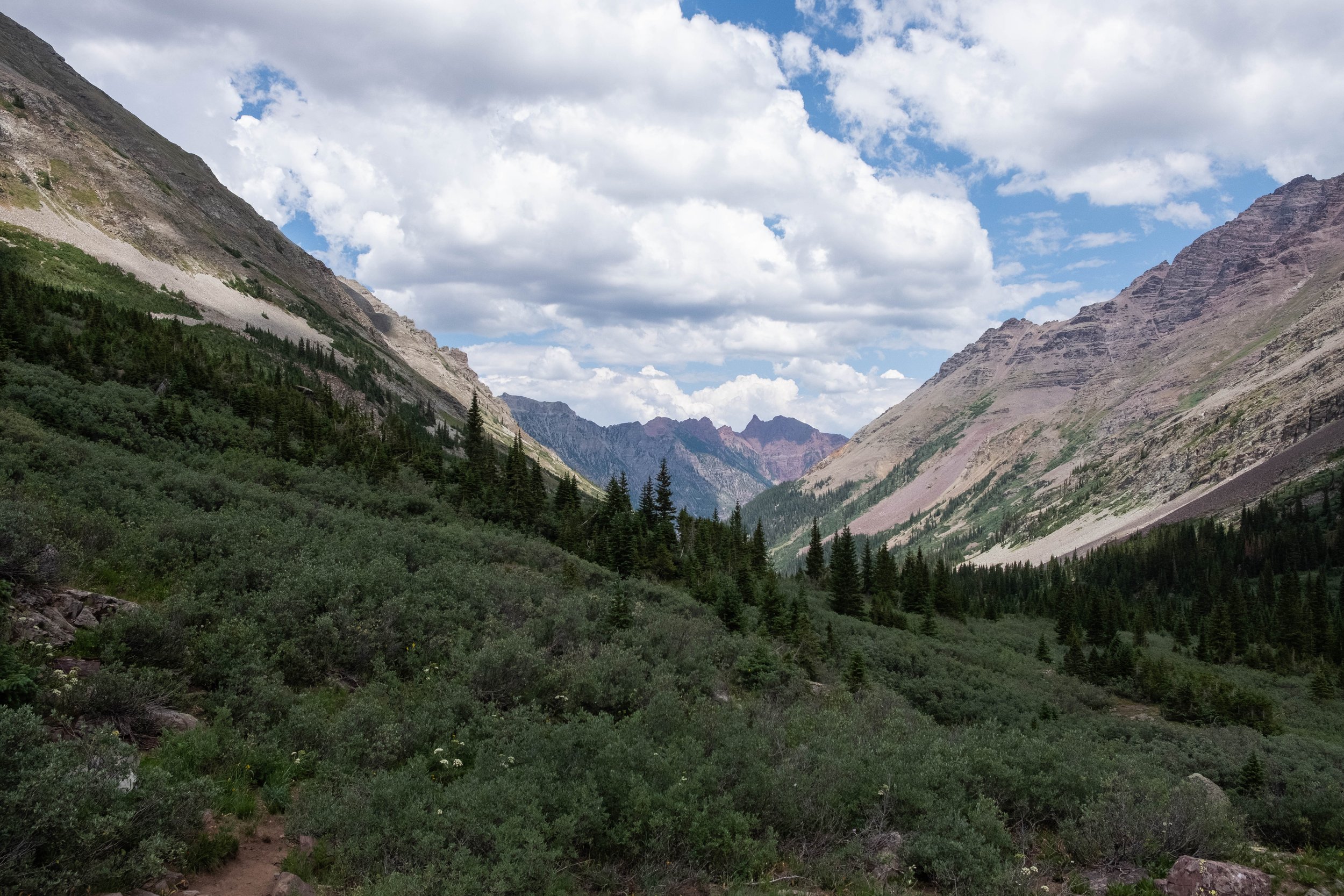
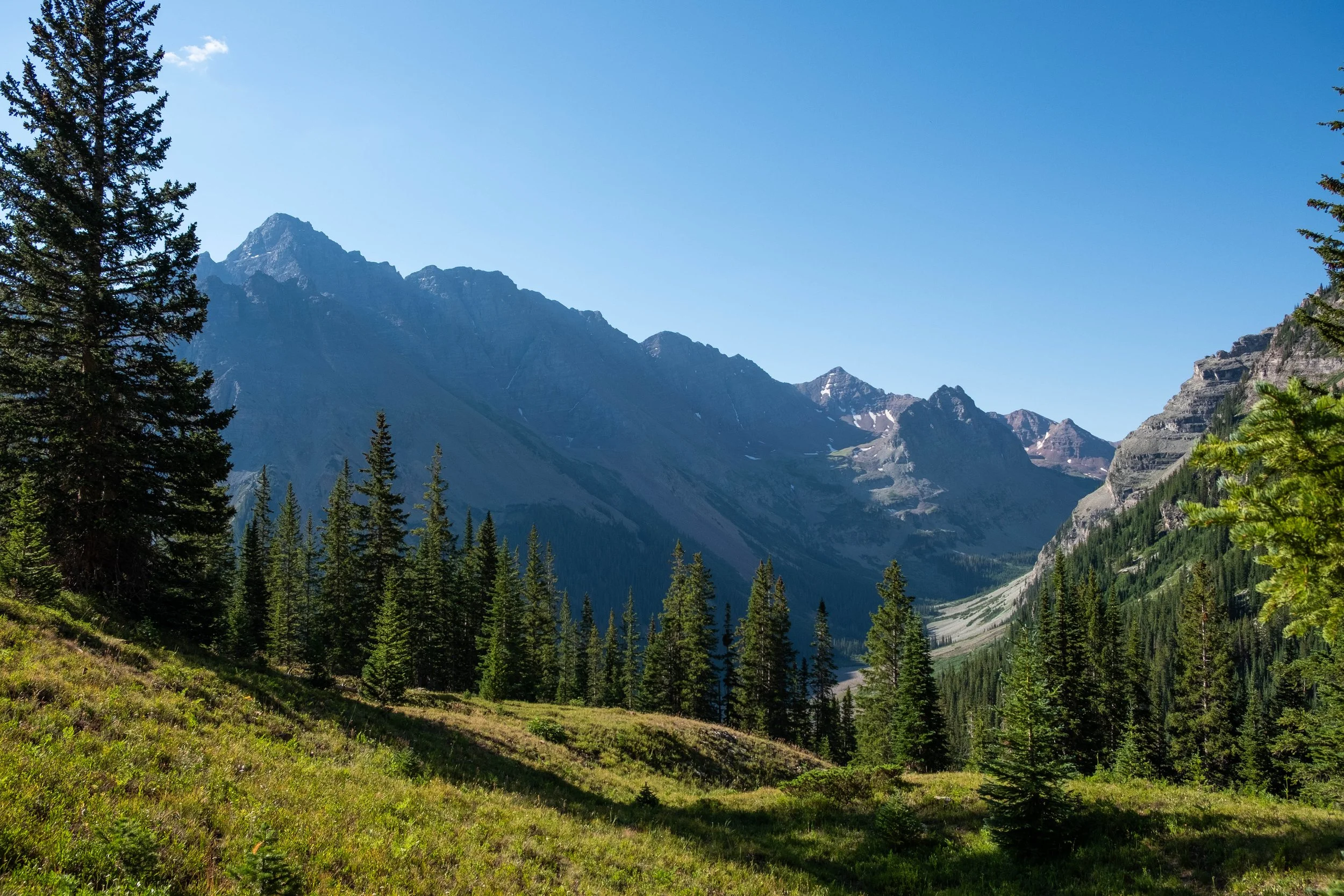
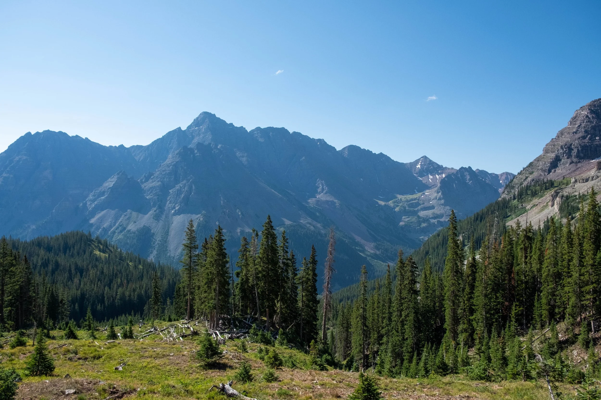
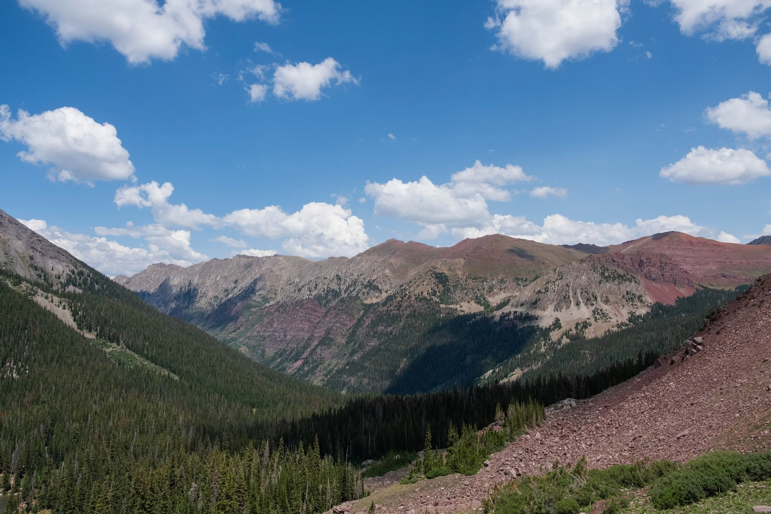
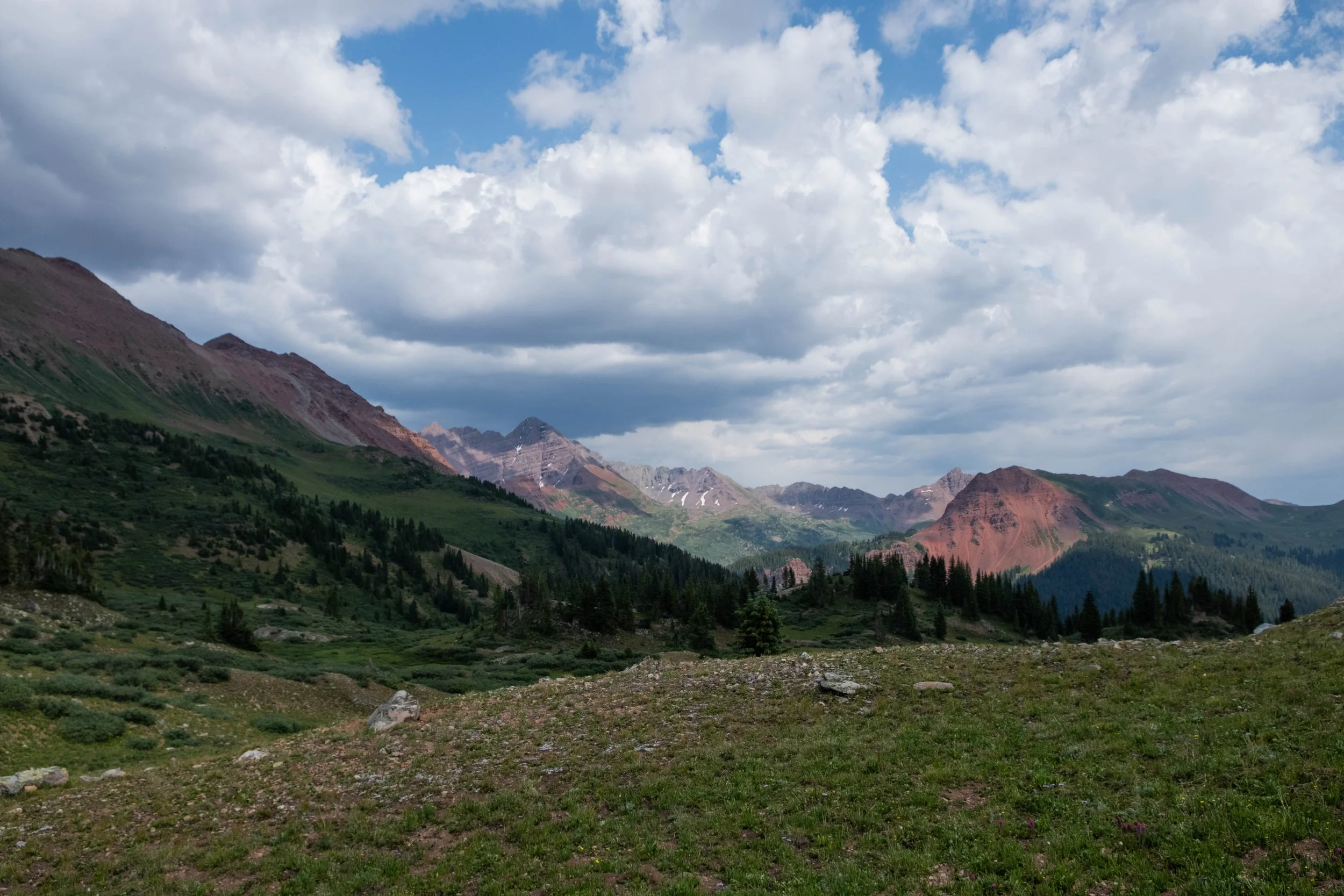
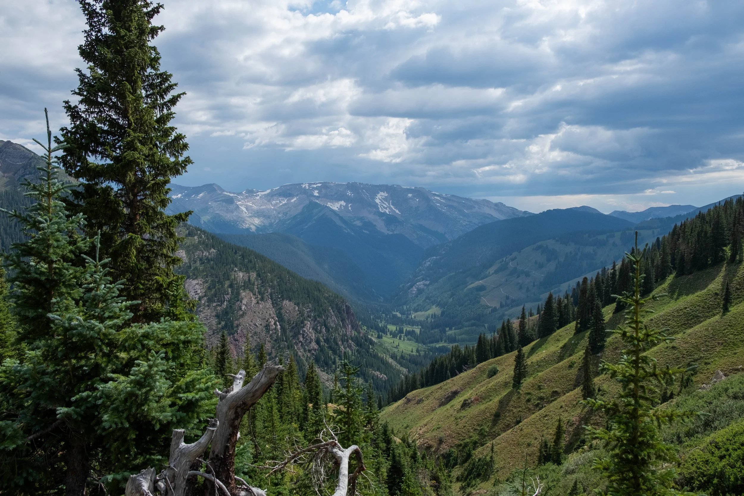
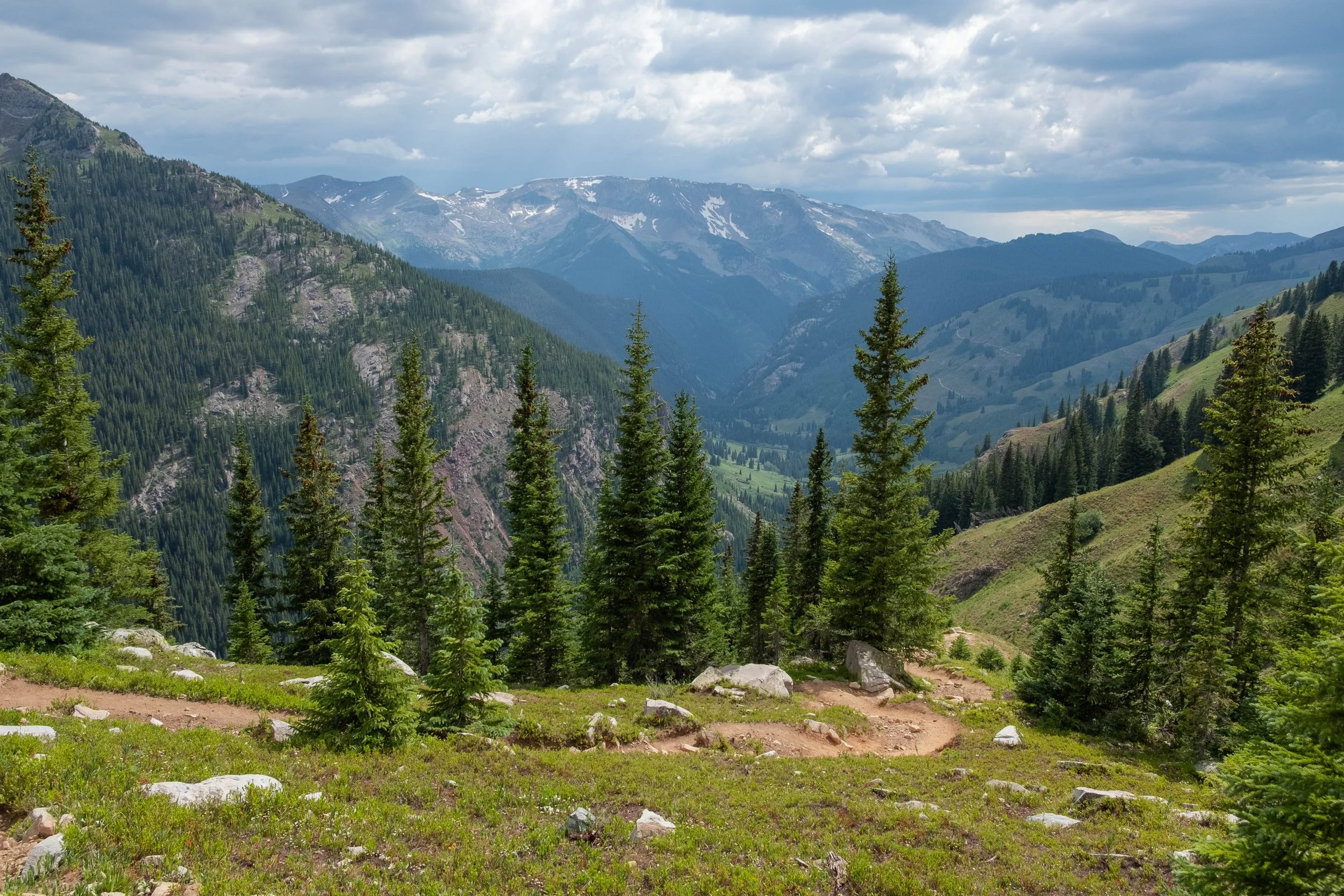
Our climb up West Maroon was where we ran into the most hikers of the entire loop. We learned that many of them were completing an 11-mile one-way hike from Aspen to Crested Butte, which also sounds like a fun thing to do someday. We reached the top of the pass in good time and drank in the sweeping views of the elongated valley that we would descend back toward Maroon Lake. The end was almost in sight.
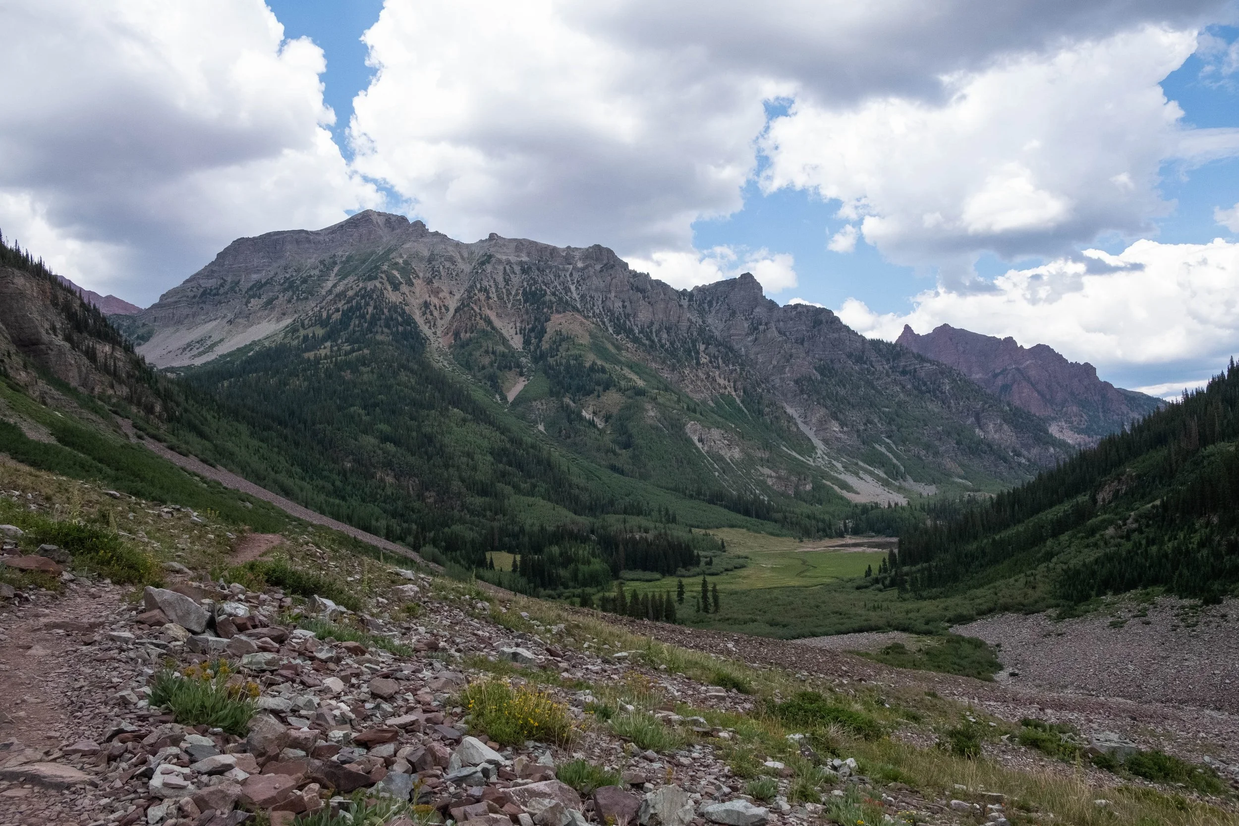
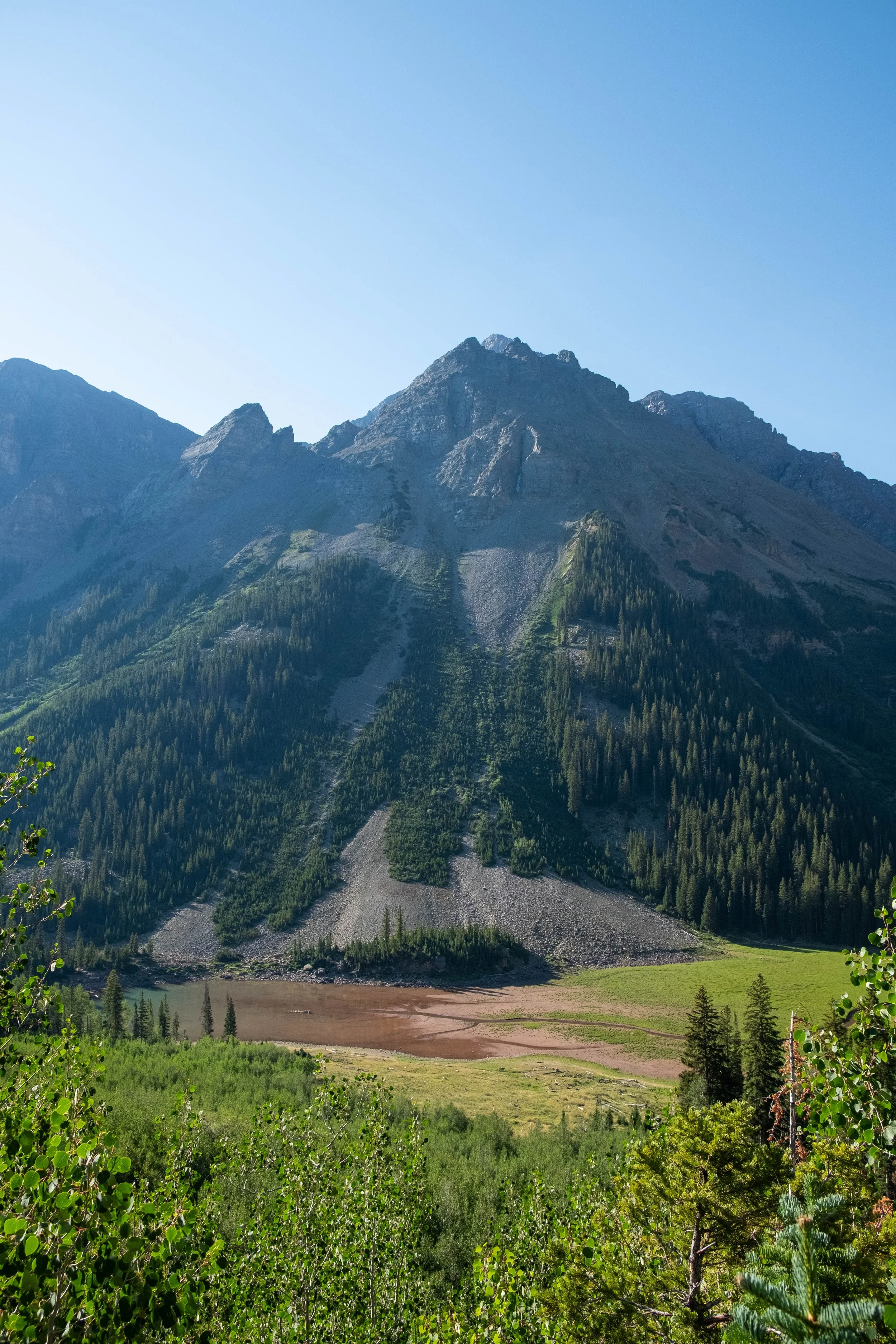
The 6+ mile descent was my least favorite part of the whole loop. I was tired. It was hot. And there were biting flies everywhere. This was actually the section of the hike that make me realize the most that I think I would prefer to hike it in the other direction in the future. I’d much rather be climbing up this long, gradual valley than experiencing a prolonged descent. By the time we reached the last mile or so, our feet were done, our stomachs were growling, and we were dreaming of dropping our packs. It was a surreal feeling once Maroon Lake finally came back into view. I glimpsed the same mother fox from the day before running through the forest next to us, probably hunting for food. We were back, less than 36 hours after we’d started, yet we felt different after having seeing the beautiful peaks and valleys that lay behind the iconic Maroon Bells.
We dropped our packs at the car, shed our shoes, and dragged our sweaty, dust-covered selves into the heart of posh Aspen to immediately order the mason jar peach whiskey cheesecake we’d seen on the menu at Stranahan’s Whiskey Lodge before our hike. This was the hardest backpacking circuit we’ve done to-date; yet somehow, I was already ready to do it all over again.